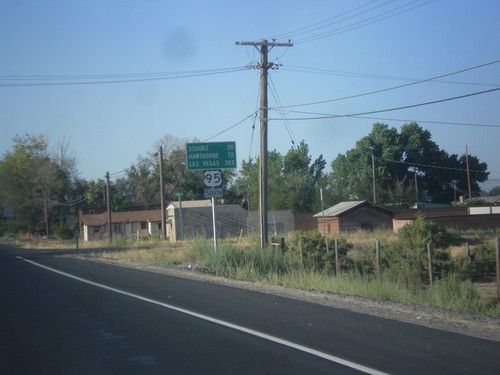
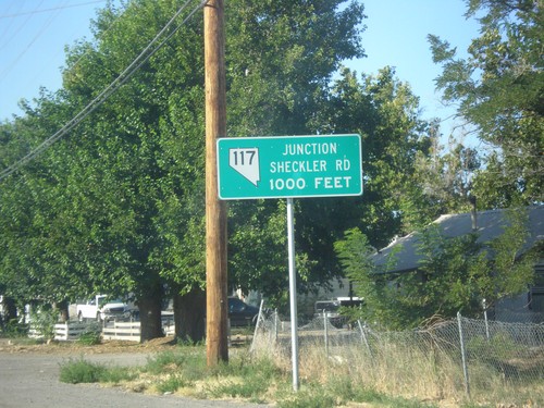
Signs From August 2016
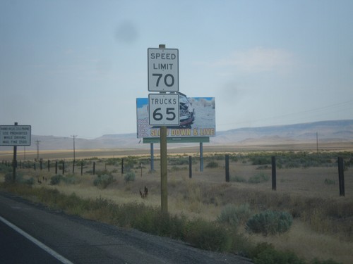
US-95 North - Speed Limit
Speed Limit 70 MPH/Truck Speed 65 MPH on US-95 north - just north of the Nevada line. The state of Oregon recently raised the speed limit on the stretch of highway from 55 MPH to 70 MPH in the spring of 2016. Until then all non rural interstate highways in Oregon were limited at 55 MPH.
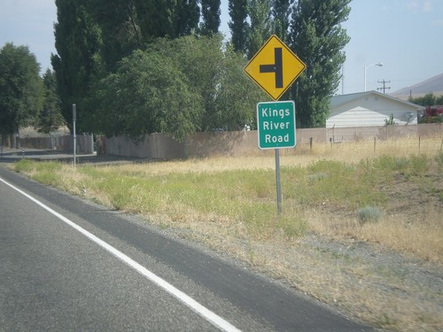
US-95 North at Kings River Jct. (NV-293)
US-95 north at NV-293 west to Kings River. There is no mention of NV-293 at this junction, although in the past there have been. There are no NV-293 guide signs approaching this junction from either direction. Must Nevada junctions have advanced signage with proper route shields.
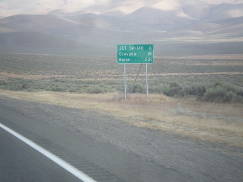
US-95 North - Distance Marker
Distance marker on US-95 north. Distance to Jct. SR-140, Orovada, and Boise (Idaho).
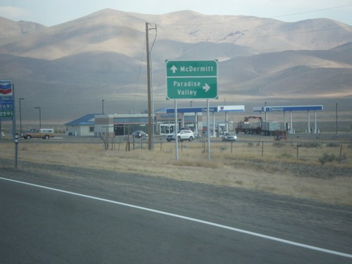
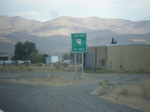
US-95 North At NV-290 North
US-95 north at NV-290 north to Paradise Valley. Continue north on US-95 for McDermitt.
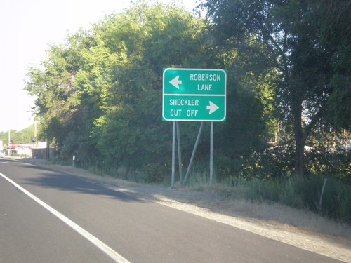
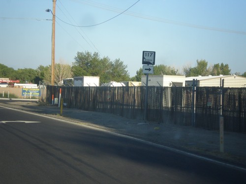
US-50 East Approaching NV-117
US-50 East Approaching NV-117/Sheckler Cut Off. Turn left for Roberson Lane.
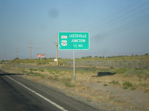
US-50 East Approaching Leeteville Junction
US-50 East Approaching Leeteville Junction (US-50 Alt. Junction). Many intersections in rural Nevada are referred to by name.
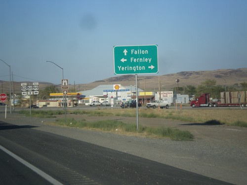
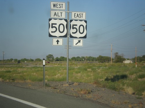
US-50 East at US-95 Alt./US-50 Alt.
US-50 East at US-95 Alt./US-50 Alt. junction. Continue east on US-50 to Fallon; right on US-95 Alt. South to Yerington; left on US-95 Alt. North/US-50 Alt. East to Fernley.
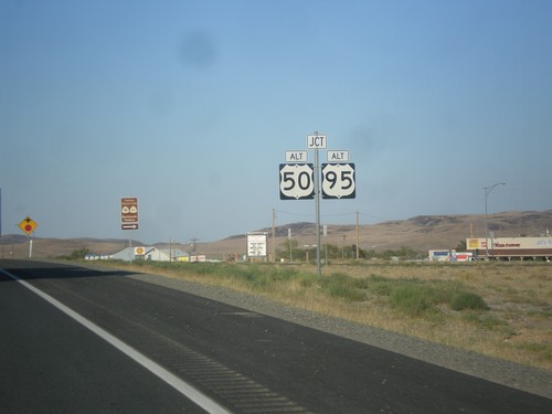
US-50 East Approaching Alt. US-95 and Alt. US-50
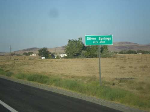
US-50 East approaching Alt. US-95 and Alt. US-50 in Silver Springs.
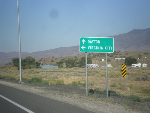
US-50 East Approaching NV-341
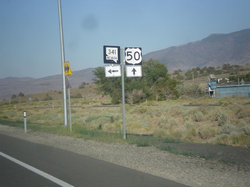
US-50 east approaching NV-341. Use NV-341 north for Virginia City. Continue east on US-50 to Dayton.
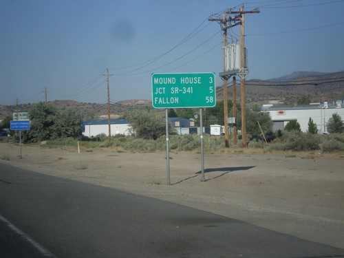
US-50 East - Distance Marker
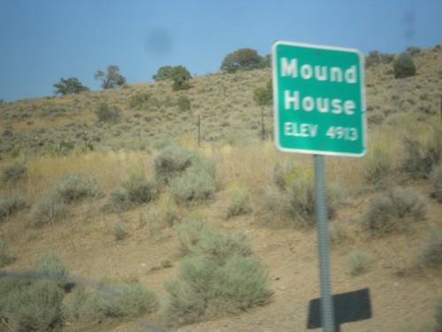
Distance marker on US-50 east. Distance to Mound House, Jct. SR-341, and Fallon.
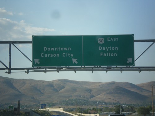
US-395 North/US-50 East on Exit 39 Offramp
US-395 North/US-50 East on Exit 39 Offramp. Use left lane for Carson City Downtown; left lane for US-50 east to Dayton and Fallon.
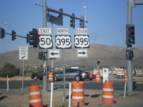
US-50 East at US-395
US-50 East at US-395 at the bottom of Spooner Summit in Carson City. US-50 joins US-395 north briefly through Carson City. Turn left for US-395 North/US-50 East; right for US-395 south. Construction is in progress on a new freeway that will terminate at this junction. US-50 east and US-395 north traffic would merge onto the freeway.
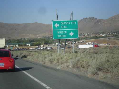
US-50 East Approaching US-395
US-50 east approaching US-395. Use US-395 south for Minden and Bishop (California). US-50 east joins US-395 north for Carson City and Reno.
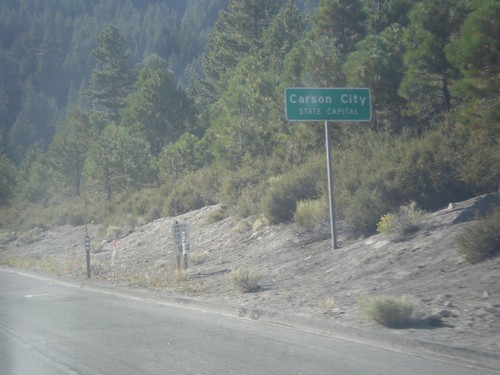
US-50 East - Carson City
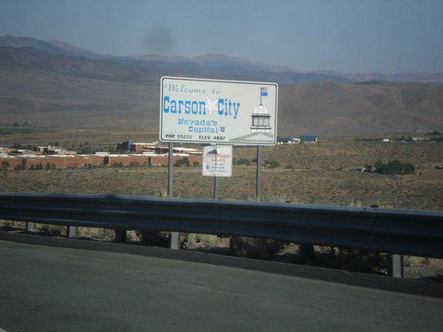
US-50 East - Carson City - State Capital. Carson City is an independent city, and the capitol of Nevada. Instead of the text COUNTY LINE that is typical when entering a new county in Nevada, Carson City lists the text STATE CAPITAL.
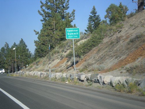
US-50 East - Spooner Summit
Spooner Summit on US-50 east - Elevation 7146 Feet. Spooner Summit is a pass through the Carson Range.
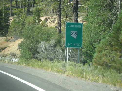
US-50 East Approaching NV-28
US-50 East approaching NV-28 in Douglas County. NV-28 loops around the northeast side of Lake Tahoe.
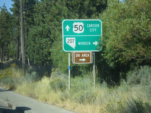
US-50 East at NV-207 East
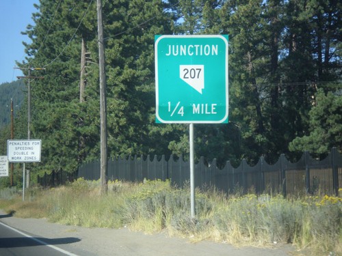
US-50 East at NV-207 East to Minden and (Heavenly Valley) Ski Area. Continue east on US-50 for Carson City.
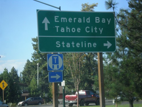
US-50 East/CA-89 North at US-50/CA-89 Split
US-50 East/CA-89 North at US-50/CA-89 split. Turn right to continue east on US-50 for Stateline (Nevada); continue north on CA-89 for Emerald Bay and Tahoe City.
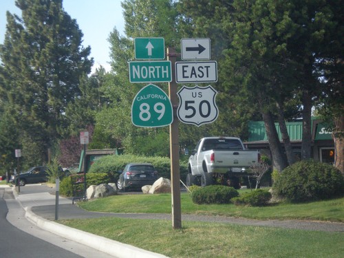
US-50 East/CA-89 North at US-50/CA-89 Split
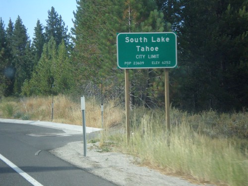
US-50 East/CA-89 North at US-50/CA-89 Split in South Lake Tahoe. Turn right to continue east on US-50.
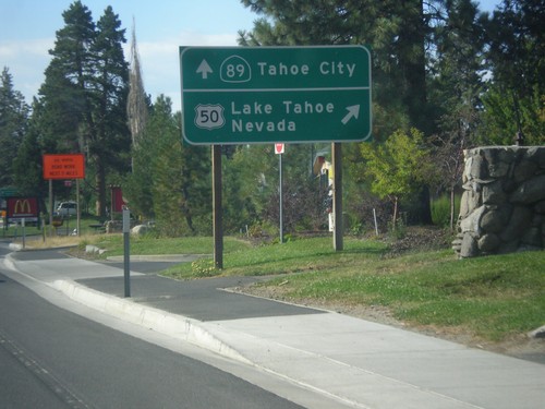
US-50 East/CA-89 North Approaching Split
US-50 East/CA-89 North Approaching US-50/CA-89 split. Merge right for US-50 east to Lake Tahoe Nevada; continue straight for CA-89 north to Tahoe City.
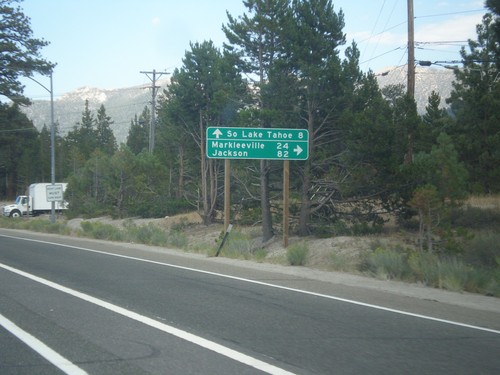
US-50 East At CA-89
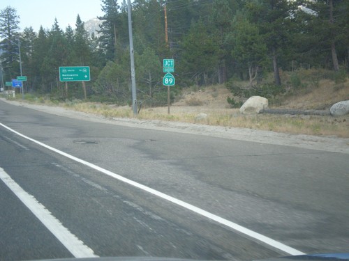
US-50 east at CA-89 south to Markleeville and Jackson (via CA-88). Continue straight ahead for US-50 East/CA-89 north to South Lake Tahoe.
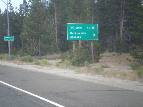
US-50 East At CA-89 South
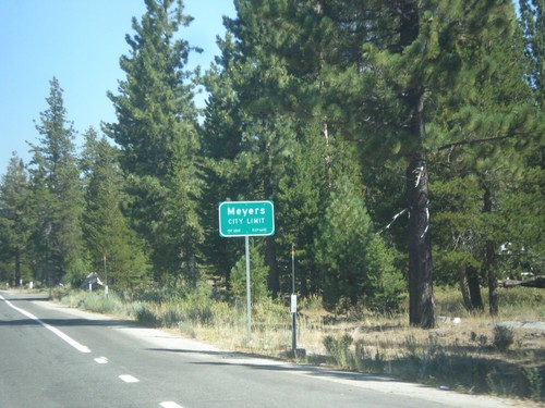
US-50 east at CA-89 south/Markleeville/Jackson to CA-88. CA-89 north joins US-50 east to South Lake Tahoe. Entering Meyers.
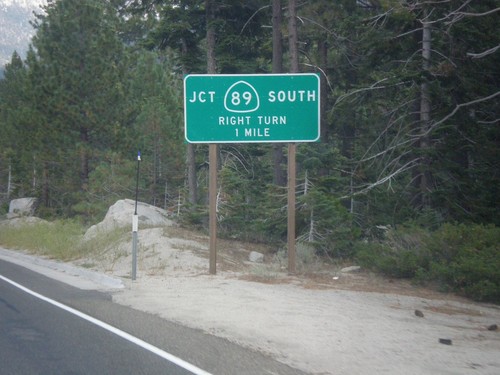
US-50 East at CA-89
US-50 east at CA-89. Turn right for CA-89 south. CA-89 north joins US-50 eastbound to South Lake Tahoe.
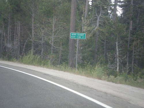
US-50 East - Echo Summit
US-50 each at Echo Summit -Elevation 7382 Feet. This is the summit of the Sierra Nevada on US-50 and the divide between the American River drainage and Lake Tahoe, which drains to the Truckee River.
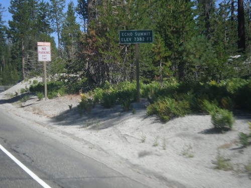
US-50 West - Echo Summit
US-50 west at Echo Summit -Elevation 7382 Feet. This is the summit of the Sierra Nevada on US-50 and the divide between the American River drainage and Lake Tahoe, which drains to the Truckee River.
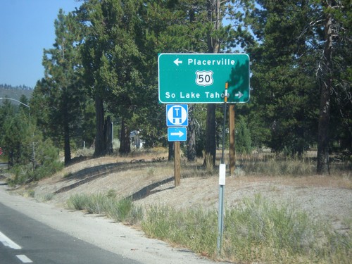
CA-89 North at US-50
CA-89 North at US-50 in Meyers. Turn left on US-50 west for Placerville; right for US-50 East/CA-89 North to South Lake Tahoe.
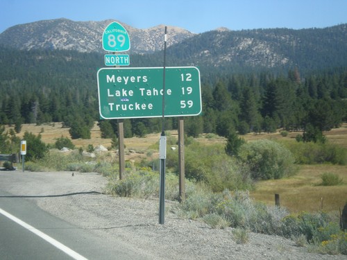
CA-89 North - Distance Marker
Distance marker on CA-89 north. Distance to Meyers, Lake Tahoe, and Truckee.
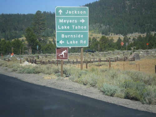
CA-88 West/CA-89 North at CA-88/CA-89 Split
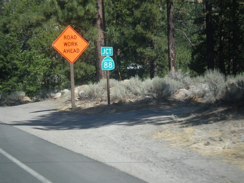
CA-88 West/CA-89 North at CA-89 North. Turn right for CA-89 north to Meyers and Lake Tahoe. Continue west on CA-88 to Jackson. Turn right for Burnside Lake Road.
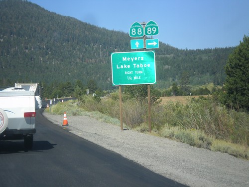
CA-89 North/CA-88 West approaching CA-89/CA-88 Split
CA-89 North/CA-88 West approaching CA-89 north. Use CA-89 north for Meyers and Lake Tahoe.
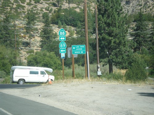
CA-89 North at CA-88
CA-89 North at CA-88 in Woodfords. Turn right for CA-88 east to Minden (Nevada). Turn left for CA-88 West/CA-89 North to Jackson (via CA-88) and Lake Tahoe (via CA-89). CA-89 joins CA-88 to Sorensens.
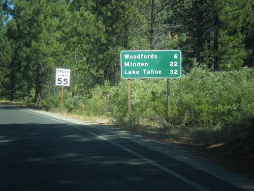
CA-89 North - Distance Marker
Distance marker on CA-89 north. Distance to Woodfords, Minden (Nevada), and Lake Tahoe.
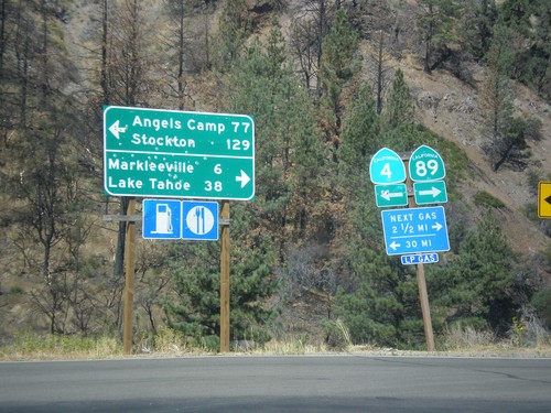
CA-89 North at CA-4
CA-89 North at CA-4. Turn left for CA-4 west to Angels Camp and Stockton (via Ebbetts Pass). Turn right for CA-89 north to Markleeville and Lake Tahoe.
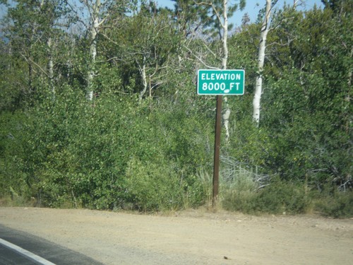
CA-89 North - Elevation 8000 Feet
Elevation 8000 Feet on CA-89 north. Taken on north descent from Monitor Pass.
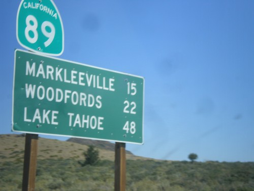
CA-89 North - Distance Marker
Distance marker on CA-89 north. Distance to Markleeville, Woodfords, and Lake Tahoe.
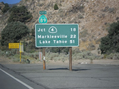
CA-89 North - Distance Marker
First distance marker on CA-89 north. Distance to CA-4 Jct., Markleeville, and Lake Tahoe.
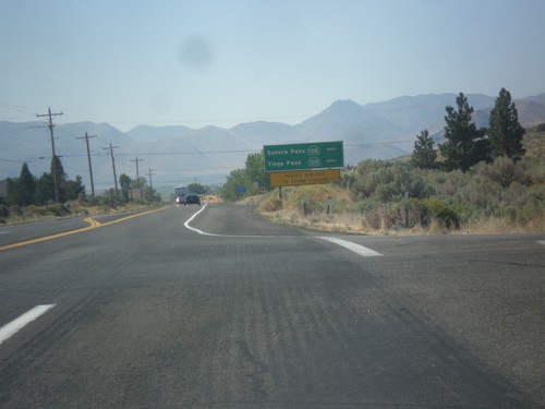
US-395 South - Sierra Pass Information
Sierra pass closure information on US-395 south. Information for Sonora Pass (CA-108) and Tioga Pass (CA-120). At the time this photo was taken both passes were open.
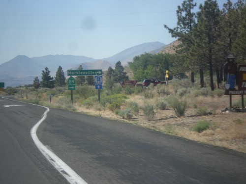
US-395 North at CA-89 North
US-395 south at CA-89 north to Markleeville. This is the southern end of CA-89.
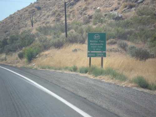
US-395 South at CA-89
US-395 south at CA-89 North to Markleeville and Monitor Pass. Monitor Pass was open when this was taken. This is the southern end of CA-89.
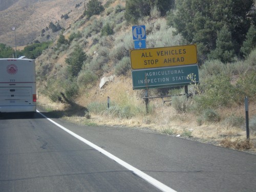
US-395 South - California Agricultural Inspection Station
US-395 South approaching California Agricultural Inspection - Topaz Border Station. All southbound traffic must stop for inspection.
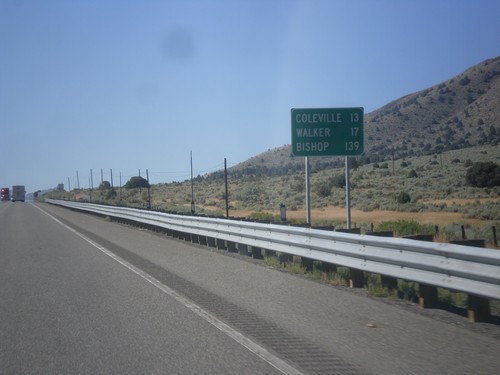
US-395 South - Distance Marker
Distance marker on US-395 south. Distance to Coleville, Walker, and Bishop. All three of these places are in California. This is the last distance marker on US-395 southbound.
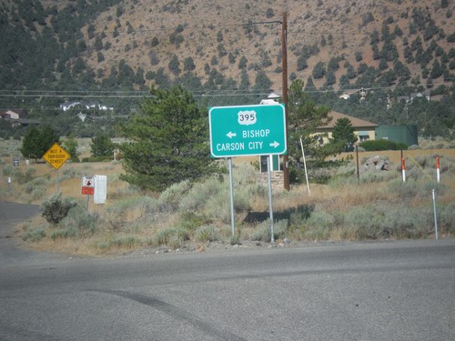
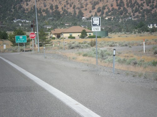
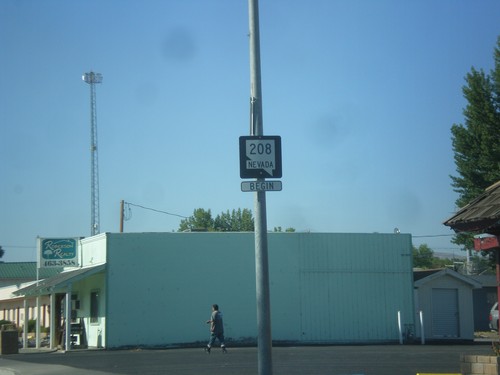
End NV-208 West at US-395
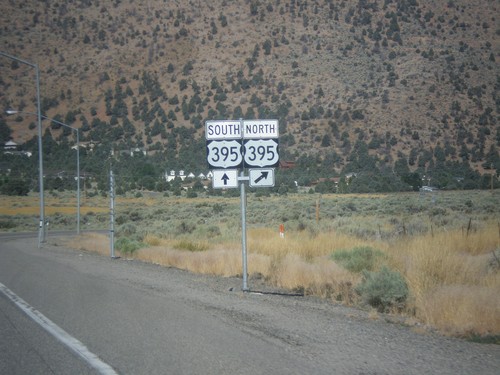
End NV-208 West at US-395. Turn right for US-395 north to Carson City; left for US-395 south to Bishop (California).
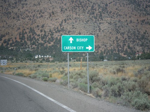
NV-208 West Approaching US-395
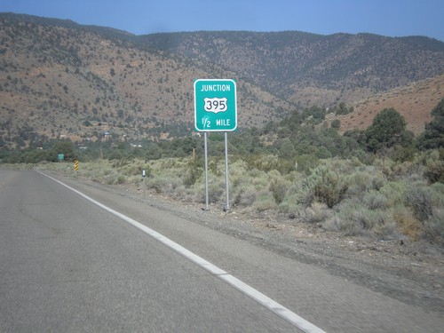
NV-208 West approaching US-395. Use US-395 north for Carson City; use US-395 south for Bishop (California).
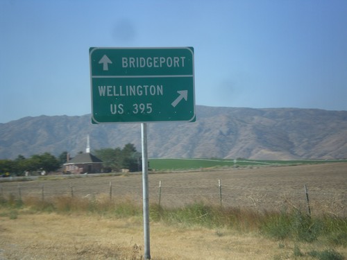
NV-208 West at NV-338
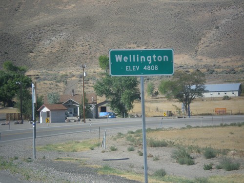
NV-208 west at NV-338 south to Bridgeport (California). Merge right to continue west on NV-208 to Wellington and US-395.
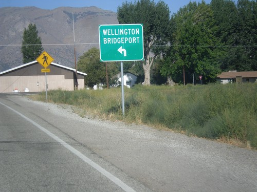
NV-208 West at NV-824
NV-208 west at NV-824. Turn left to continue west on NV-208 for Wellington and Bridgeport (California).
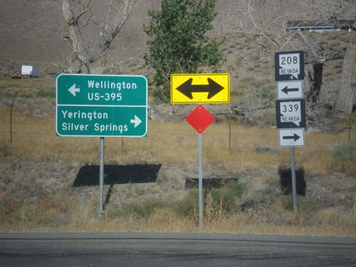
NV-208 West at NV-339
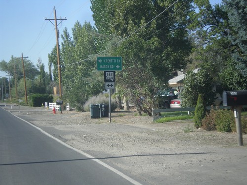
NV-208 west at NV-339. Turn right for NV-339 north to Yerington and Silver Springs. Turn left to continue west on NV-208 for Wellington and US-395 Jct.
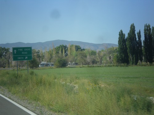
NV-208 West - Pine Grove Road Jct.
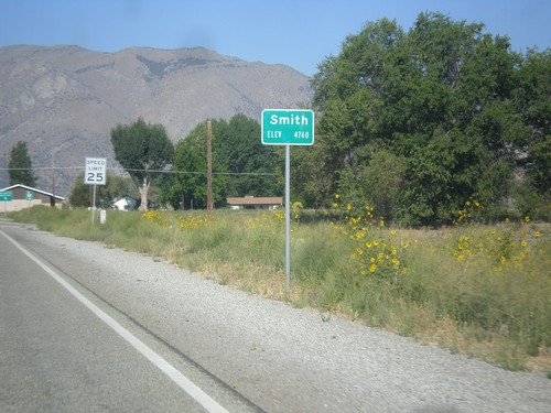
NV-208 West at Pine Grove Road Jct. Merge right to continue west on NV-208 towards Smith.
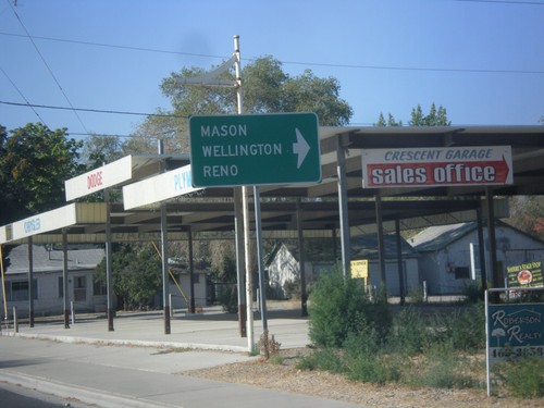
NV-208 South at NV-340 (Bridge St.)
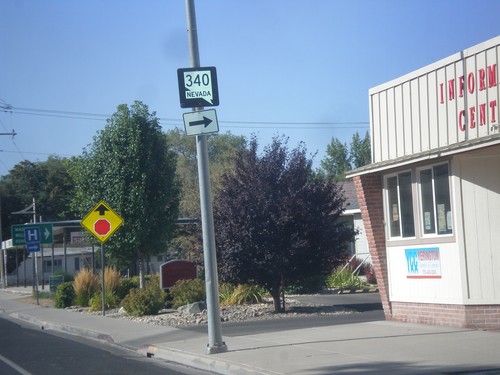
NV-208 South at NV-340 (Bridge St.) west to Mason, Wellington, and Reno (via US-95 Alt.).
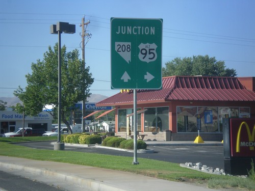
Alt. US-95 North Approaching NV-208
Alt. US-95 North Approaching NV-208 in Yerington. Turn right to continue north on Alt. US-95.
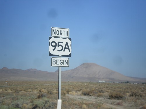
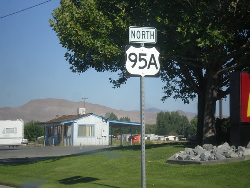
Begin US-95A (US-95 Alternate) in Schurz
Begin US-95A (US-95 Alternate) in Schurz. The US-95A shield is commonplace on the stretch of highway between Schurz and Silver Springs. North of Silver Springs the US-95 with the ALT banner is used.
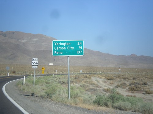
US-95 Alt. North - Distance Marker
Distance marker on US-95 Alt. north. Distance to Yerington, Carson City (via US-50), and Reno (via I-80).
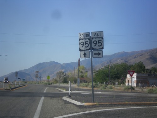
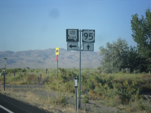
US-95 South at US-95 Alt.
US-95 south at US-95 Alt North in Schurz. This is the southern terminus of US-95 Alt.
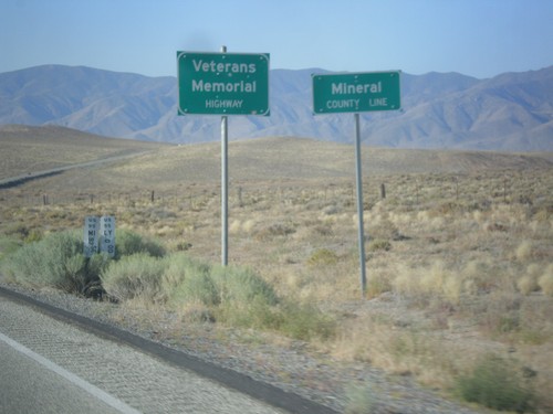
US-95 South - Mineral County
Mineral County Line on US-95 south. US-95 through Nevada is designated the Veterans Memorial Highway.
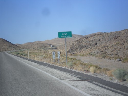
US-95 South - Lyon County
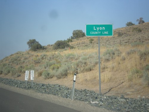
Lyon County Line on US-95 South. US-95 runs through a short 2 mile stretch of Lyon County.
