Signs From October 2016
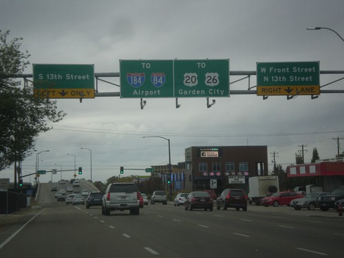
US-20/US-26 West Front St. at 13th St.
US-20/US-26 West (Front St.) at 13th St. After 13th St. US-20/US-26 becomes a freeway, locally known as The Connector. Use the connector for Garden City, I-84, and I-184.
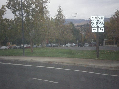
US-20/US-26 West (Broadway Ave.) at Front St.
US-20/US-26 West (Broadway Ave.) at Front St. Turn left on Front St. to continue west on US-20/US-26.
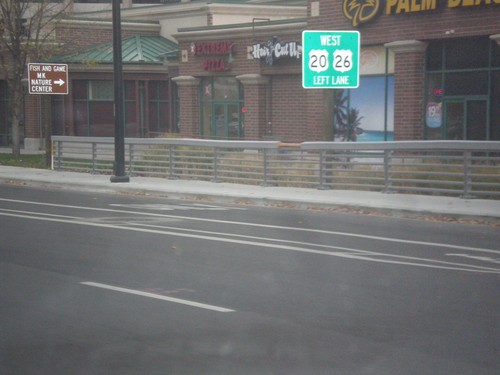
US-20/US-26 West - Broadway Ave at Front St
US-20/US-26 west (Broadway Ave.) approaching Front St. Use left lanes to continue west on US-20/US-26.
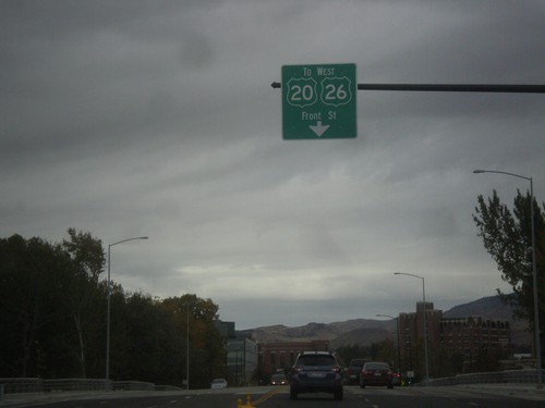
US-20/US-26 West - Broadway Ave Approaching Front St
US-20/US-26 West (Broadway Ave.) approaching Front St. Use left lanes for Front St. These types of US shields are not at all common in Idaho. Almost all US shields are shown as solid white, not just white outlines. These signs appeared after the new bridge over the Boise River was completed here.
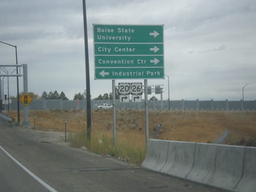
I-84 West Offramp at US-20/US-26 - Broadway Ave.
I-84 West Offramp at US-20/US-26 - Broadway Ave. Turn right on Broadway Ave. to continue west on US-20/US-26, Boise State University, Convention Center, and City Center. Turn left for Broadway Ave. south to Industrial Park. US-20/US-26 leaves I-84 westbound here, and rejoins I-84 in Caldwell.
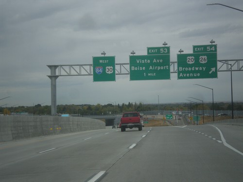
I-84 West - Exits 53 and 54
I-84 west at Exit 54 - US-20/US-26/Broadway Ave. Approaching Exit 53 - Vista Ave./Boise Airport. US-20/US-26 leave I-84 here.
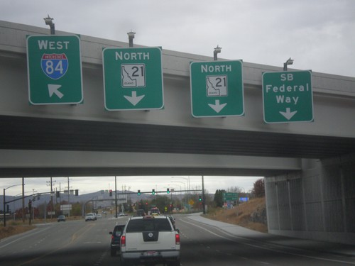
Begin ID-21 North at I-84
Begin ID-21 North at I-84. Use left lane for I-84 west; use right lane for Southbound Federal Way.
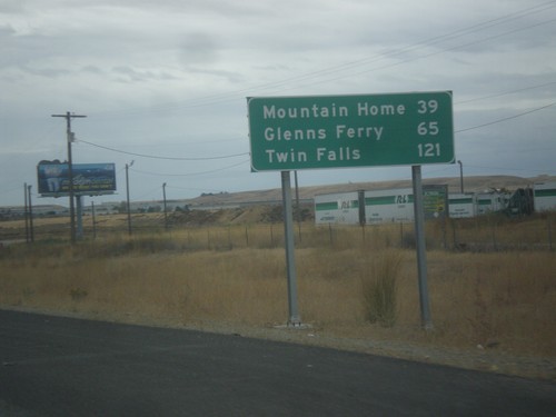
I-84 East - Distance Marker
Distance marker on I-84 east. Distance to Mountain Home, Glenns Ferry, and Twin Falls.
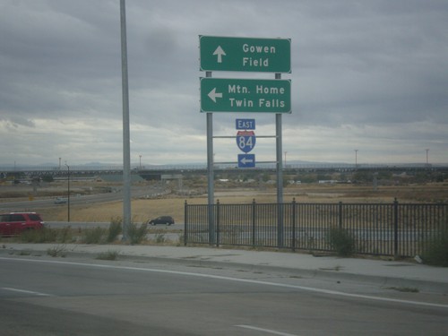
Orchard St. South at I-84 East
Orchard St. South at I-84 East to Mountain Home and Twin Falls. Orchard St. continues south as Gowen Road.
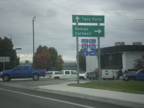
Orchard St. South at I-84
Orchard St. South at I-84. Use I-84 west for Nampa and Caldwell; I-84 east for Twin Falls.
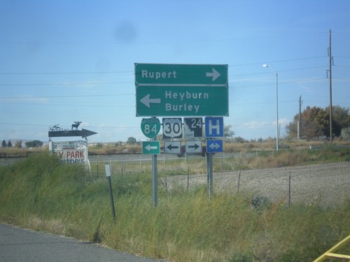
I-84 West Exit 211 Offramp at US-30/ID-24
I-84 west on Exit 211 offramp. Turn right for ID-24 west to Rupert; turn left for BL-84 West/US-30 West to Burley and Heyburn.
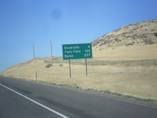
I-84 West - Distance Marker
Distance marker on I-84 west. Distance to Snowville, Twin Falls (ID), and Boise(ID).
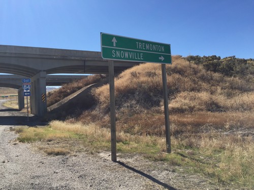
I-84 Onramp at Blue Creek IC
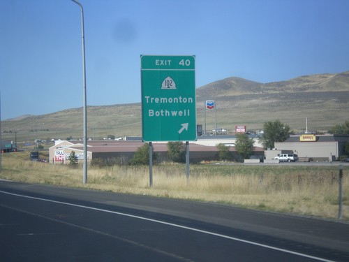
I-84 Onramp at Blue Creek IC in Box Elder County. Use I-84 west to Snowville; I-84 east to Tremonton.
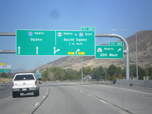
I-15 North - Exit 322
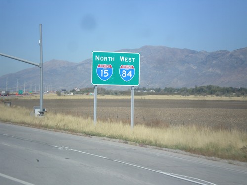
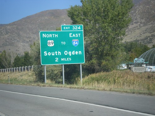
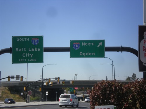
I-15 north at Exit 322 - UT-227 North/200 West. Approaching Exit 324 - US-89 North/To I-84 East/South Ogden. Continue north on I-15 to Ogden.
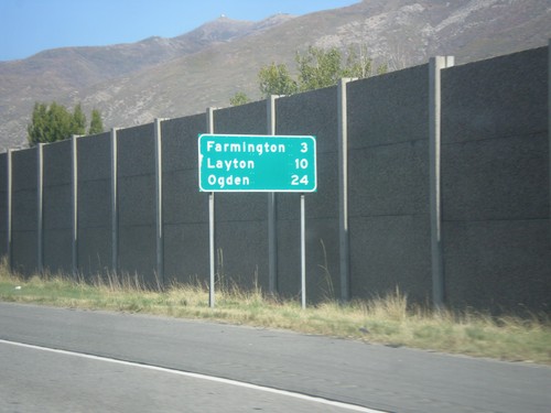
I-15 North - Distance Marker
Distance marker on I-15 north. Distance to Farmington, Layton, and Ogden.
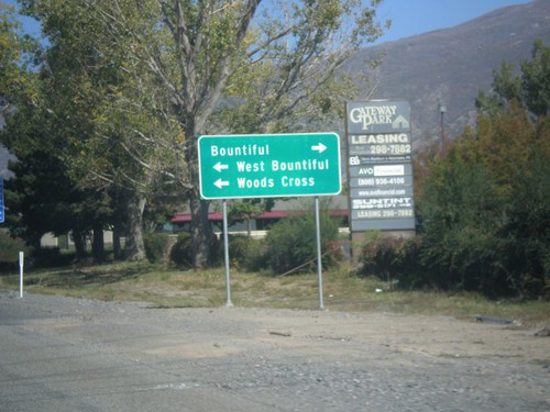
I-15 Exit 316 Offramp at UT-68
I-15 Exit 316 Offramp at UT-68 (West 500 South). Turn left for Woods Cross and West Bountiful. Turn right for Bountiful.
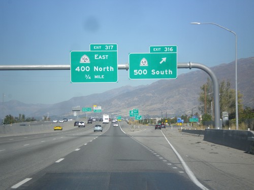
I-15 North - Exit 316
I-15 north at Exit 316 - UT-68/500 South. Approaching Exit 317 - UT-106 East/400 North.
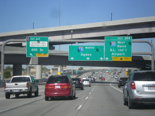
I-15 North/I-80 West - Exits 307 and Exit 308
I-15 North/I-80 West at Exit 307 (HOV) - 400 South. Approaching Exit 308 - I-80 West/Reno/Salt Lake International Airport. I-15 continues north to Ogden.
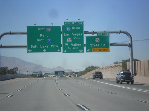
I-80 West Exit 124 and 123 B-A
I-80 West approaching Exit 124 - US-89/State St. Approaching Exit 123B-A - I-15 South/Las Vegas/UT-201 West/West Valley. Use left lanes for I-80 West/Reno/I-15 North/Salt Lake City. I-80 joins I-15 north through downtown Salt Lake City.
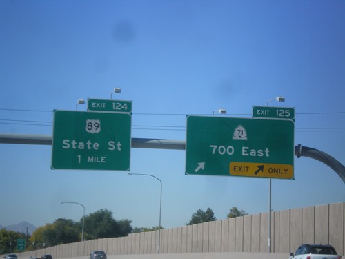
I-80 West - Exits 124 and 125
I-80 west at Exit 125 - UT-71/700 East. Approaching Exit 124 - US-89/State St.
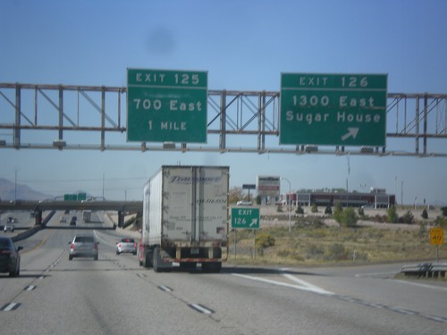
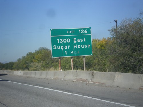
I-80 West - Exits 125 and 126
I-80 West at Exit 126 - 1300 East/Sugar House. Approaching Exit 125 - 700 East.
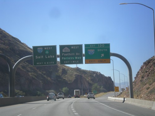
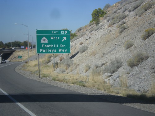
I-80 West - Exits 130 and 129
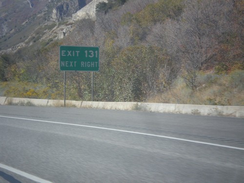
I-80 west at Exit 130 - I-215 South. Approaching Exit 129 - UT-186/Foothill Drive/Parleys Way. Next 8 exits on I-80 west are for Salt Lake. The UT-186 shield is an old style Utah state highway shield.
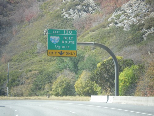
I-80 West - Exit 130
I-80 West approaching Exit 130 - I-215/Belt Route. This is the western edge of the Salt Lake City area belt route.
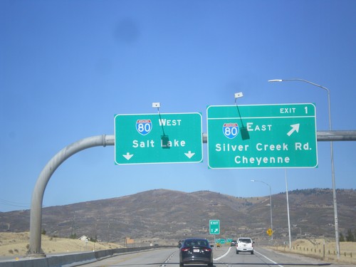
End US-40 at I-80
End US-40 at I-80. Merge right for US-40 (Exit 1) - I-80 East/Cheyenne (WY)/Silver Creek Road. Use left lanes for I-80 West/Salt Lake. This is the western end of US-40.
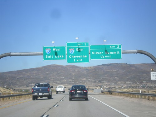
US-40 West - Exits 2 and 1
US-40 West approaching Exit 2 - Silver Summit. Approaching Exit 2 - I-80/Cheyenne (Wyoming)/Salt Lake.
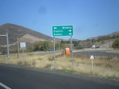
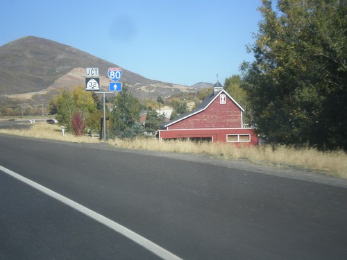
US-40 West Approaching UT-32
US-40 West Approaching UT-32 to Francis and Kamas. Turn left on River Road for Midway.
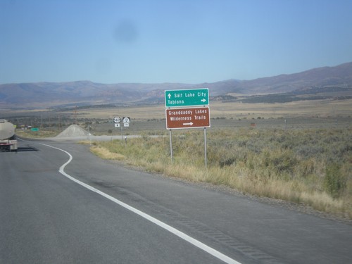
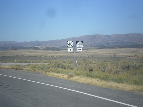
US-40 West Approaching UT-208
US-40 West approaching UT-208 to Tabiona and Granddaddy Lakes Wilderness Trails.
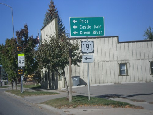
US-40 West/US-191 South at US-191 South
US-40 West/US-191 South at US-191 South in Duchesne. Turn left on US-191 south for Price, Castle Dale, and Green River. US-191 north joins US-40 east to Vernal.
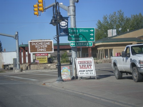
US-40 West/US-191South at UT-87
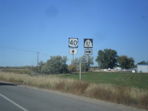
US-40 West/US-191 South at UT-87 to Altamont, (Duchesne) County Offices, and Airport.
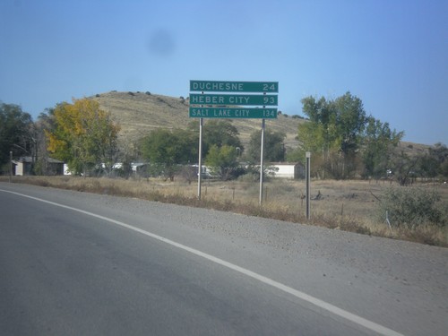
US-40 West/US-191 South - Distance Marker
Distance Marker on US-40 West/US-191 South. Distance to Duchesne, Heber City, and Salt Lake City.
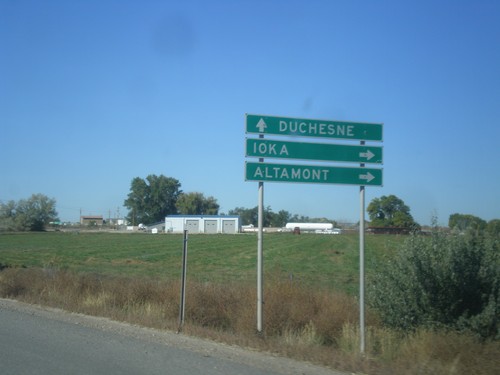
US-40 West/US-191 South Approaching UT-87
US-40 West/US-191 South approaching UT-87 to Ioka and Altamont. Continue west on US-40/US-191 for Duchesne.
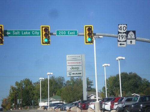
US-40 West/US-191 South at UT-121
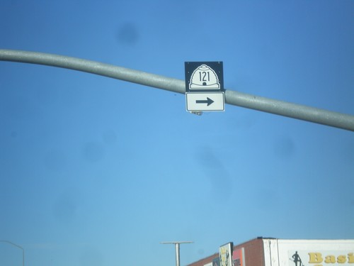
US-40/US-191 at UT-121 junction in Roosevelt. Turn left on 200 East to continue on US-40/US-191 towards Salt Lake City.
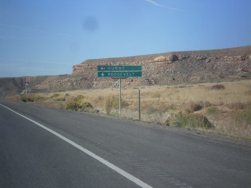
US-40 West Approaching UT-88
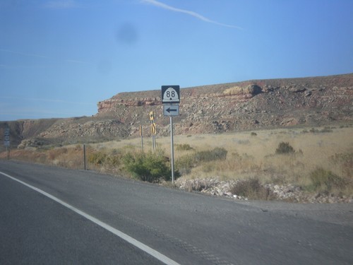
US-40 West approaching UT-88 south to Ouray in Uintah County. Continue west on US-40 for Roosevelt.
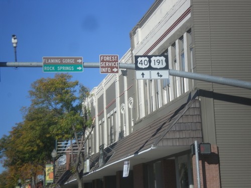
US-40 West at US-191
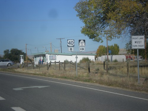
US-40 West at US-191 north to Rock Springs (Wyoming) and Flaming Gorge. US-191 joins US-40 West to Duchense.
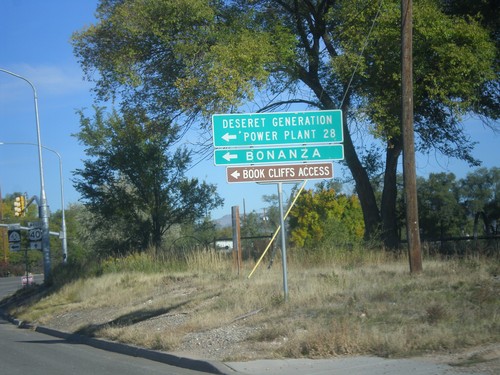
US-40 West at UT-45 Jct.
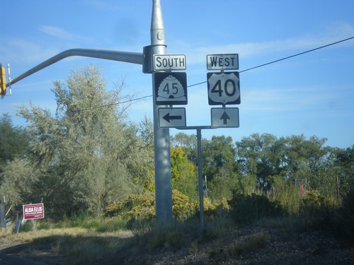
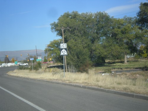
US-40 west at UT-45 south to Deseret Generation Power Plant, Bonanza, and Book Cliffs Access.
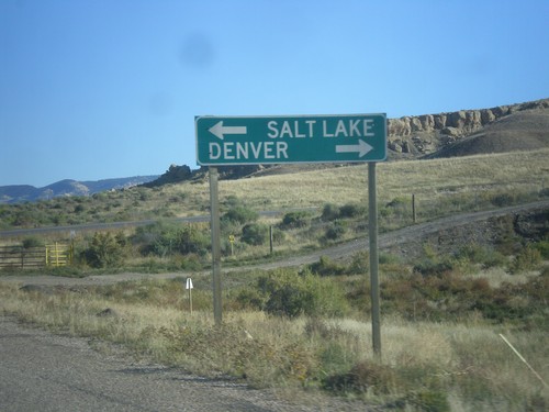
Redwash Road North at US-40
Redwash Road North at US-40 to Salt Lake City and Denver. This sign is odd in that destinations for far away locations are used on a county road.
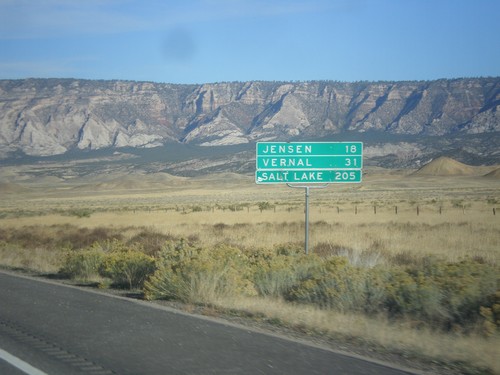
US-40 West - Distance Marker
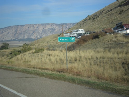
Distance marker on US-40 west. Distance to Jensen, Vernal, and Salt Lake City. This is the first distance marker along US-40 in Utah.
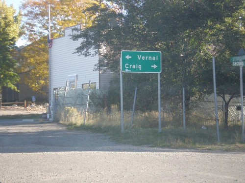
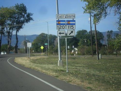
CO-64 North Approaching US-40
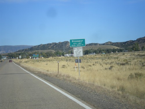
End CO-64 at US-40 in Dinosaur. Turn left for US-40 west to Vernal (Utah). Turn right for US-40 east to Craig.
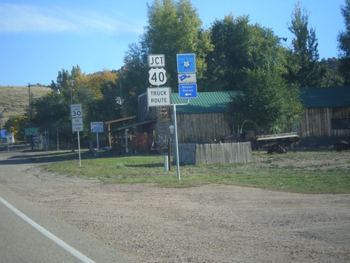
Jct. US-40 on CO-64 North
Jct. US-40 at western end of CO-64 in Dinosaur. Turn left for the Dinosaur Diamond Scenic Byway.
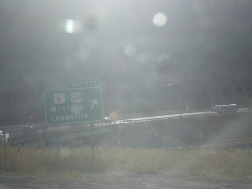
I-70 West - Exit 171
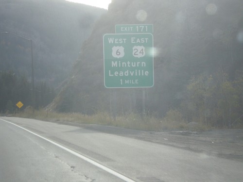
I-70 west at Exit 171 - US-6/US-24/Minturn/Leadville. This is the eastern end of US-24. US-6 leaves I-70 westbound here.
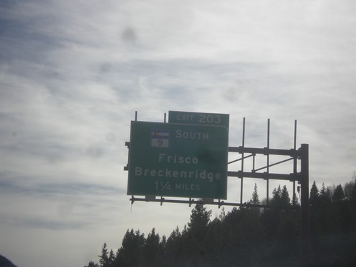
I-70 West - Exit 203
I-70 west approaching Exit 203 - CO-9 South/Frisco/Breckenridge. CO-9 south leaves I-70 westbound here.
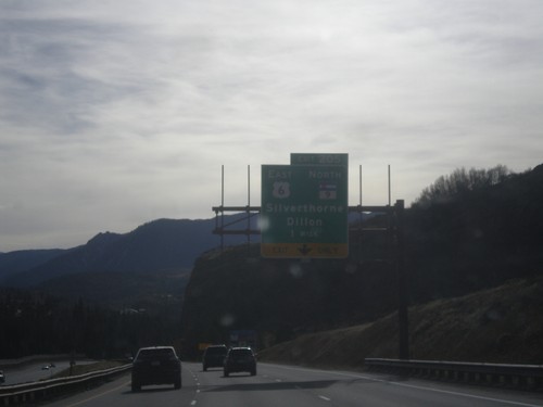
I-70 West - Exit 205
I-70 West at Exit 205 - US-6 East/CO-9 North/Silverthorne/Dillon. CO-9 south and US-6 west join I-70 westbound.
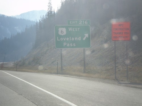
I-70 West - Exit 216
I-70 west at Exit 216 - US-6 West/Loveland Pass. US-6 leaves I-70 westbound here, and crosses Loveland Pass, while I-70 enters the Eisenhower Tunnel. This is the last exit before the Eisenhower Tunnel.
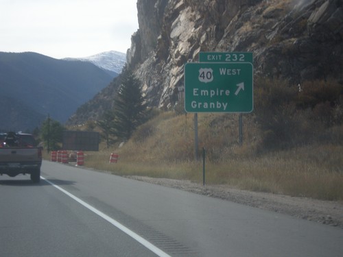
I-70 West - Exit 232
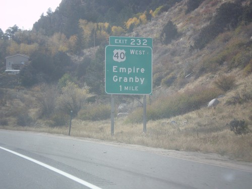
I-70 west at Exit 232 - US-40 West/Empire/Granby. US-40 leaves I-70 westbound, and begins climb to Berthoud Pass.
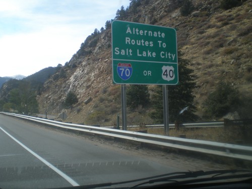
I-70 West - Routes to Salt Lake City
I-70 west approaching Exit 232 - US-40 West. Alternate routes to Salt Lake City via either US-40 West (and I-80) or I-70 West (and US-191/US-89/I-15).
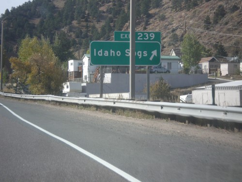
I-70 West - Exit 239
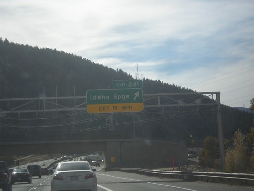
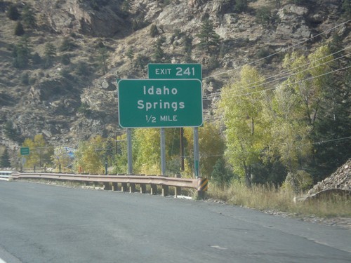
I-70 west at Exit 239 - Idaho Springs. This is the western end of the Idaho Springs business loop.
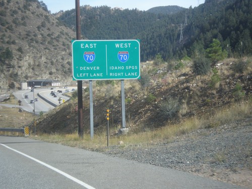
Central City Parkway approaching I-70
Central City Parkway approaching I-70. Use I-70 west for Idaho Springs; I-70 east for Denver.
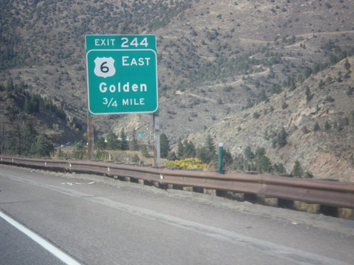
I-70 West - Exit 244
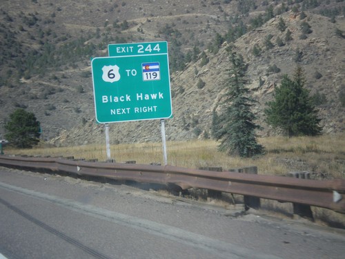
I-70 west approaching Exit 244 - US-6 East/Golden. US-6 and US-40 join I-70 westbound here.
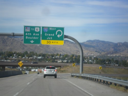
CO-470 West at I-70 West
CO-470 West at I-70 West to Grand Junction. Continue north on CO-470 to US-6/6th Ave./Boulder. CO-470 ends just north of here at US-6 junction.
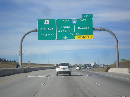
CO-470 West - Exit 1
CO-470 west approaching Exit 1 - I-70/Grand Junction/Denver. CO-470 continues north of the I-70 junction, ending at US-6 (6th Ave.).
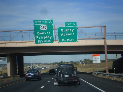
CO-470 West - Exits 6 and 5B-A
CO-470 west approaching Exit 6 - Quincy Ave. Approaching Exit 5B-A - US-285/Denver/Fairplay.
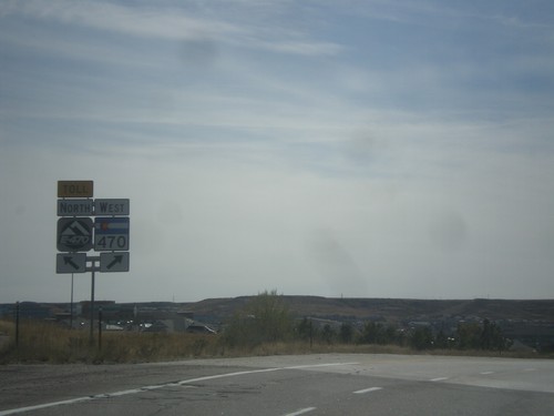
I-25 South/CO-470/E-470 Separation
I-25 South ramp to CO-470/E-470. Merge left for E-470 (Toll Road); merge right for CO-470 west
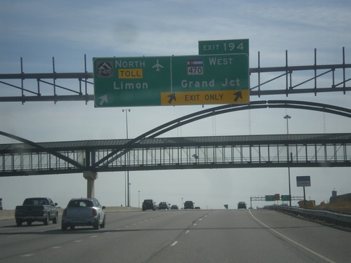
I-25 South - Exit 194
I-25 south at Exit 194 - E-470 North - Toll/Limon and CO-470 West/Grand Junction. E-470/CO-470 is a beltway around the Denver area. This is the southern point on the beltway.
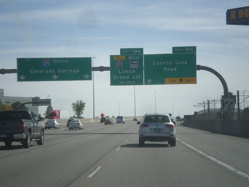
I-25 South - Exits 195 and 194
I-25 south at Exit 195 - County Line Road. Approaching Exit 194 - E-470 Toll/CO-470 West/Limon/Grand Junction.
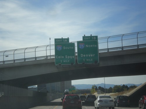
I-225 South Approaching I-25
I-225 South approaching Exit 1A - I-25 South/Colorado Springs, and Exit 1B - I-25 north/Denver. This is the southern end of I-225.
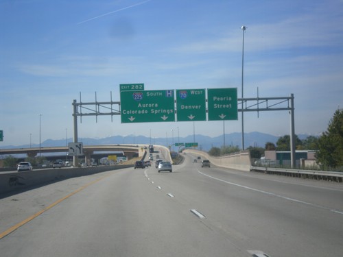
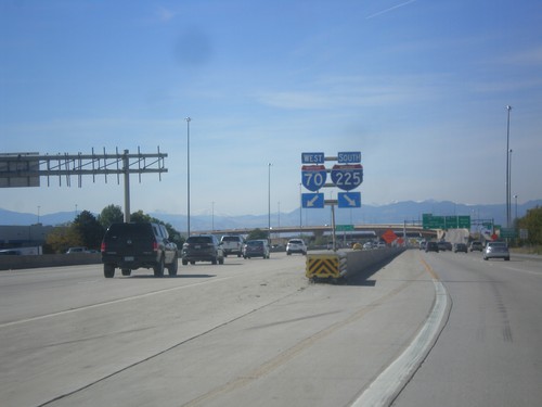
I-70 West/I-225 South Separation - Aurora
I-70 West/I-225 South Separation in Aurora. Merge left for (I-70) Exit 282 - I-225 South/Aurora/Colorado Springs. Merge right for ramp for I-70 west to Denver. Use far right lane for Peoria St.
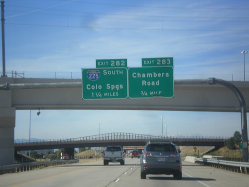
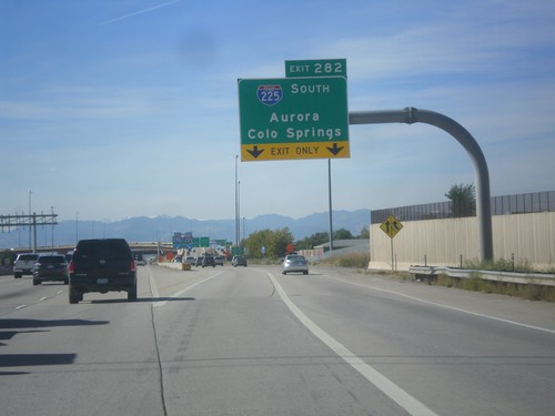
I-70 West - Exits 283 and 282
I-70 west approaching Exit 283 - Chambers Road. Approaching Exit 282 - I-225 South/Colorado Springs.
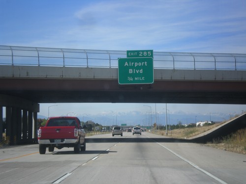
I-70 West - Exit 285
I-70 west approaching Exit 285 - Airport Blvd. Use Exit 285 for access to Denver International Airport.
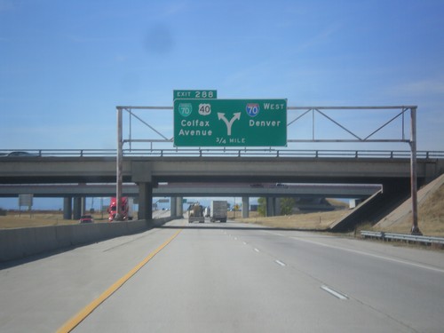
I-70 West - Exit 288
I-70 west approaching Exit 288 - BL-70/US-40/Colfax Ave. Exit 288 is a left exit; merge right to continue west on I-70 to Denver. US-40 leaves I-70 westbound here, and follows Colfax Ave. through Denver. US-40 rejoins I-70 near Golden. This is the eastern end of the Denver business loop.
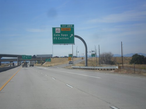
I-70 West - Exit 289
I-70 west at Exit 289 - E-470 Tollway/Colorado Springs/Fort Collins. E-470 is the tolled section of the beltway around Denver.
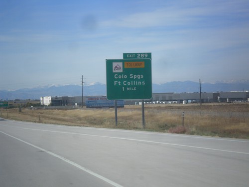
I-70 West - Exit 287
I-70 West at E-470 Junction to Colorado Springs and Fort Collins. E-470 is part of the beltway around Denver. The eastern part of the beltway is tolled and is signed as E-470. The western part of the beltway is free and is signed as CO-470.
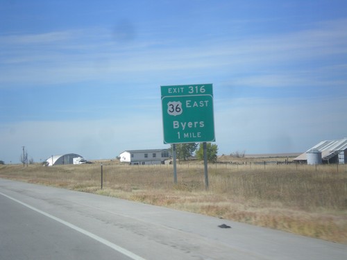
I-70 West - Exit 316
I-70 west approaching Exit 316 - US-36 East/Byers. US-36 joins I-70 westbound to Denver.
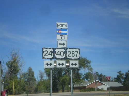
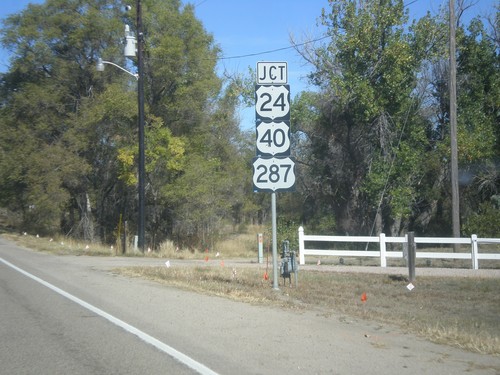
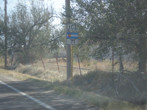
CO-71 North at US-24/US-40/US-287
CO-71 North at US-24/US-40/US-287 in Limon. Turn right to continue north on CO-71.
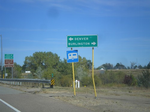
CO-71 North at US-24/US-40/US-287
CO-71 North at US-24/US-40/US-287 in Limon. Turn right for Burlington (via I-70); turn left for Denver (via I-70).
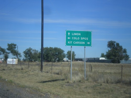
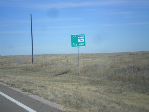
CO-71 North at CO-94
CO-71 North at CO-94 in Punkin Center. Turn right for CO-94 east to Kit Carson; left for CO-94 west to Limon. Continue straight on CO-71 north for Limon.
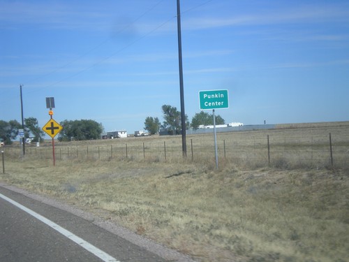
CO-71 North - Punkin Center
Entering Punkin Center on CO-71 north. Punkin Center is the small community at the junction of CO-71 and CO-94 in Lincoln County.
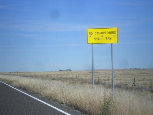
CO-71 North - Snowplow Hours
No Snowplowing on CO-71 north of Ordway between the hours of 7 PM and 5 AM.
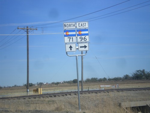
CO-71 North/CO-96 East at CO-71/CO-96 Split
CO-71 North/CO-96 East at CO-71/CO-96 split. Turn right to continue east on CO-96.
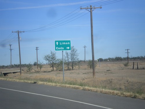
CO-71 North/CO-96 East at CO-71/CO-96 Junction
CO-71 North/CO-96 East at CO-71/CO-96 junction. Turn right on CO-96 East for Eads; continue north on CO-71 to Limon.
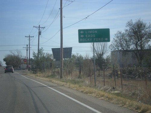
CO-96 East at CO-71
CO-96 East at CO-71 in Ordway. CO-96 East joins CO-71 North through Ordway. Turn right for CO-71 south to Rocky Ford. Turn left for CO-71 North/CO-96 East to Limon (via CO-71) and Eads (via CO-96).
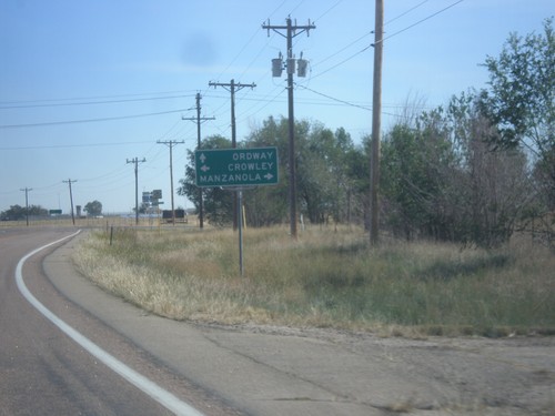
CO-96 East at CO-207
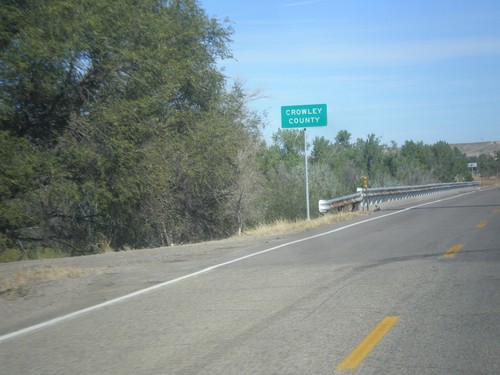
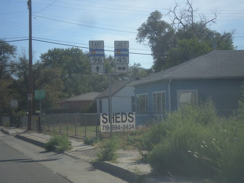
CO-96 East at CO-207 south to Manzanola. Turn left for Crowley; continue east on CO-96 for Ordway.
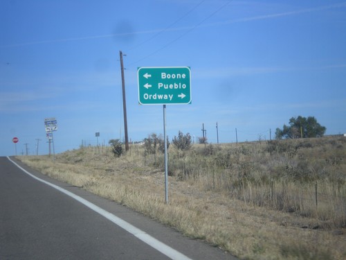
CO-167 North Approaching CO-96
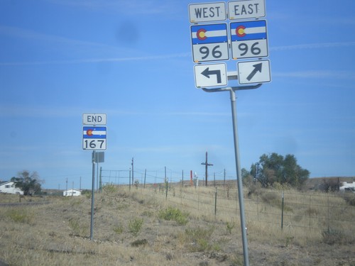
CO-167 North approaching CO-96. Turn left for CO-96 west to Boone and Pueblo; right for CO-96 east to Ordway.
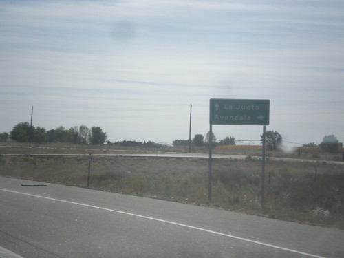
US-50 East at Bus. US-50 West
US-50 East at Bus. US-50 West to Avondale. This is the eastern end of the Pueblo business loop. Continue east on US-50 for La Junta.
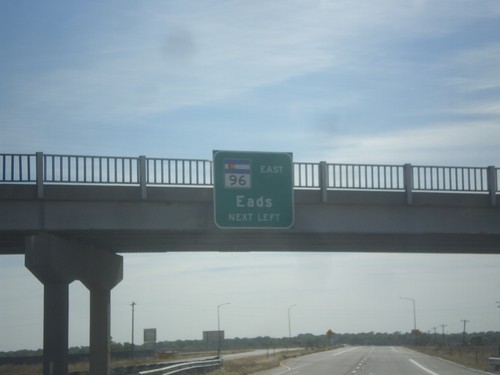
US-50 East/CO-96 East Approaching US-50/CO-96 Split
US-50 East/CO-96 East approaching US-50/CO-96 split. Use left lane for CO-96 East to Eads.
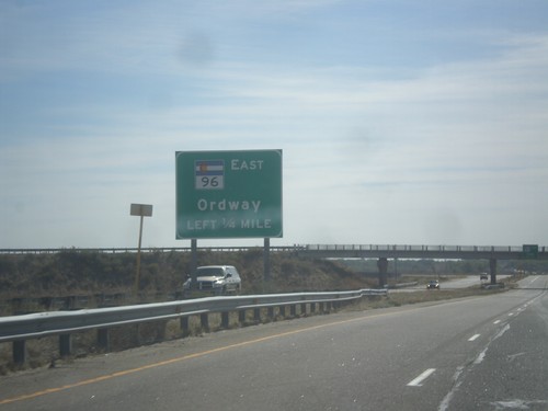
US-50 East/CO-96 East Approaching US-50/CO-96 Split
US-50 East/CO-96 East approaching US-50/CO-96 split. Use left lane for CO-96 East to Ordway.
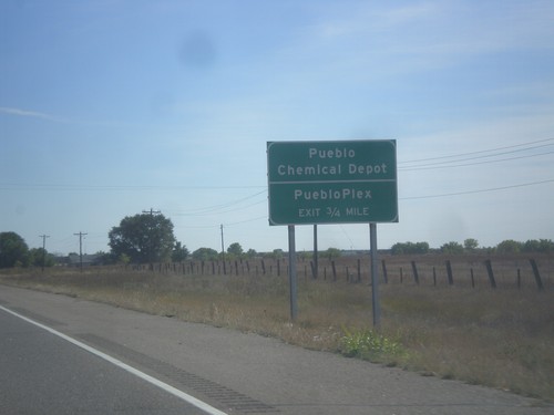
US-50 East - Pueblo Chemical Depot
US-50 East approaching Pueblo Chemical Depot/PuebloPlex interchange.
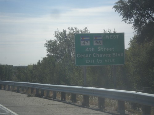
US-50 East Approaching CO-47/CO-96
US-50 East approaching CO-47/CO-96 West/4th St./Cesar Chavez Blvd. CO-96 joins US-50 eastbound to Avondale.
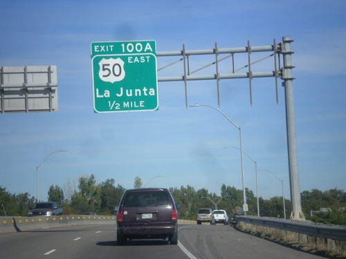
I-25 North - Exit 100A
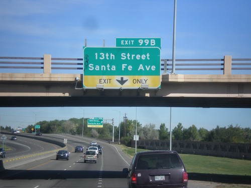
I-25 north approaching Exit 100A - US-50 East/La Junta. US-50 joins I-25 northbound through Pueblo.
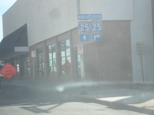
CO-96 East (4th St.) at Santa Fe Ave.
CO-96 East (4th St.) at Santa Fe Ave. in Pueblo. Turn right for I-25 southbound; continue east on 4th St. for I-25 north.
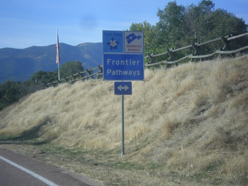
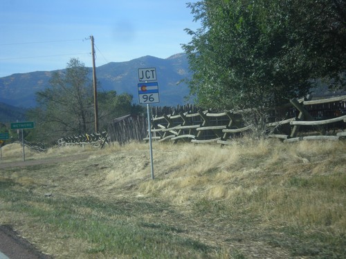
CO-67 South at CO-96 - Frontier Pathways
CO-67 South at CO-96. CO-96 is designated as the Frontier Pathways Scenic Byway.
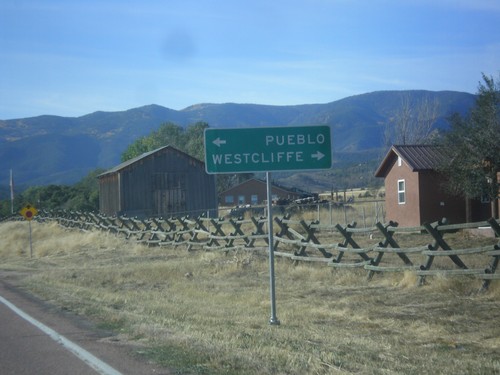
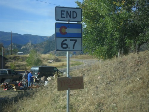
CO-67 South at CO-96
CO-67 South at CO-96 in Wetmore. Use CO-96 west to Westcliffe; CO-96 east to Pueblo.
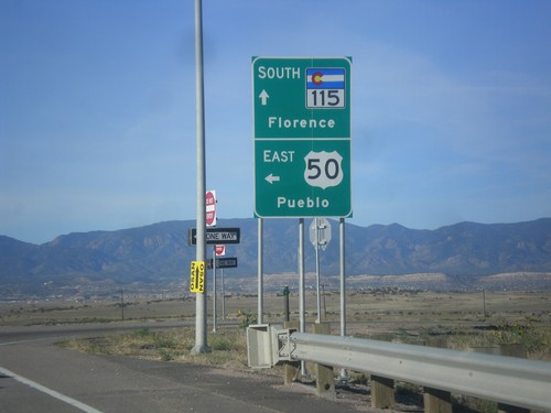
CO-115 South at US-50 East Onramp
CO-115 South at US-50 East onramp to Pueblo. Continue south on CO-115 for Florence.
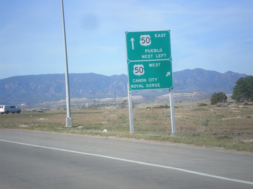
CO-115 South at US-50
CO-115 South at US-50. Use right lane for US-50 West to Canon City and Royal Gorge; continue over freeway for US-50 East to Pueblo.
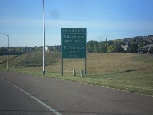
CO-115 South - Exits 43A-B
CO-115 south approaching Exits 43A-B - Cheyenne Mountain AFS/Fort Carson Gate 2.
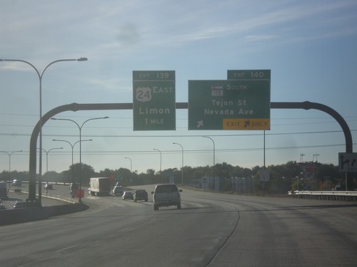
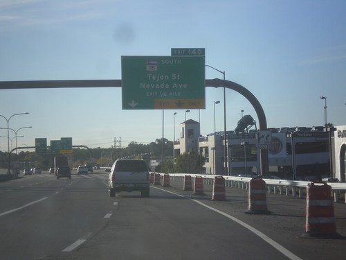
I-25 South/US-24 East - Exits 140 and 139
I-25 South/US-24 East at Exit 140 - CO-115 South/Tejon St./Nevada Ave. Approaching Exit 139 - US-24 East/Limon.
US-24 East Approaching I-25
US-24 East approaching I-25. Use right lane for I-25 south; left lane for I-25 north.
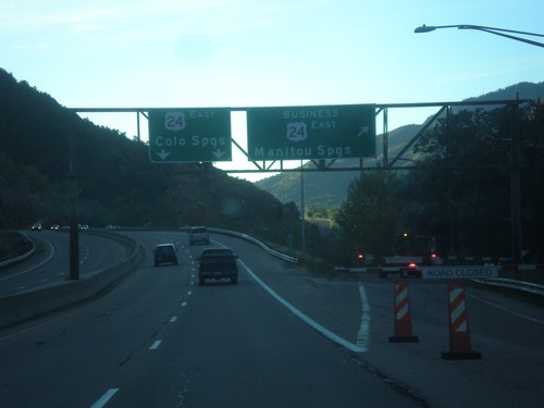
US-24 East - Manitou Springs Business Loop
US-24 East at Bus. US-24 East - Manitou Springs. US-24 continues eastbound to Colorado Springs.
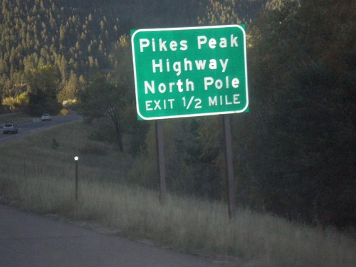
US-24 East approaching Pikes Peak Highway
US-24 East approaching Pikes Peak Highway/North Pole. The Pikes Peak Highway is a toll road that ascends the summit of Pikes Peak.
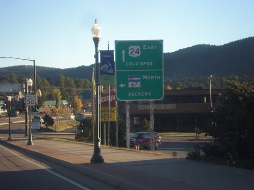
US-24 East/CO-67 North at CO-67 North
US-24 East/CO-67 North at CO-67 North to Deckers. Continue east on US-24 for Colorado Springs.
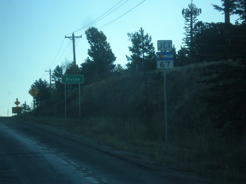
US-24 East - Divide and approaching CO-67
Entering Divide on US-24 east. Also approaching CO-67 south.
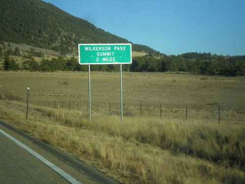
US-24 East - Wilkerson Pass 2 Miles
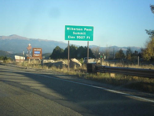
US-24 East begin climb of Wilkerson Pass. Wilkerson Pass Summit - 2 Miles.
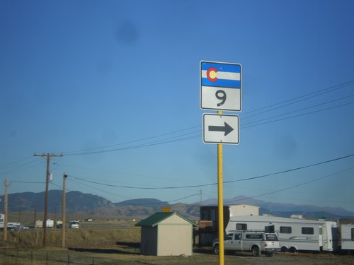
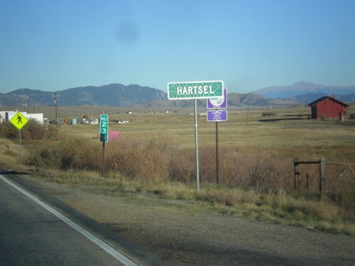
US-24 East/CO-9 South approaching US-24/CO-9 Split
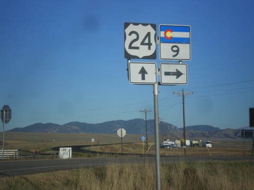
US-24 East/CO-9 South approaching US-24/CO-9 Split in Hartsel.
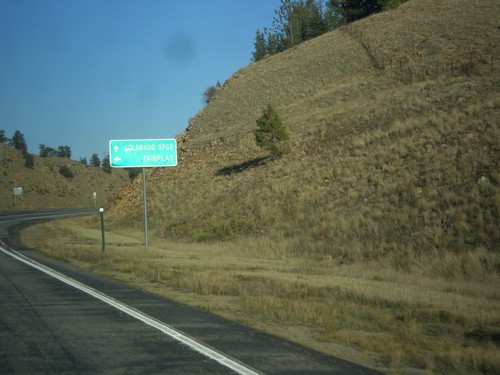
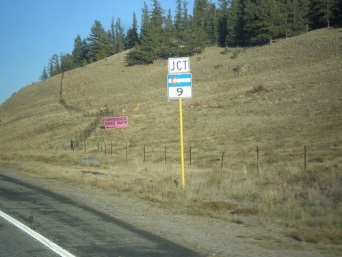
US-24 East at CO-9 North
US-24 East at CO-9 North to Fairplay. CO-9 South joins US-24 East to Hartsel.
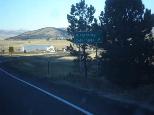
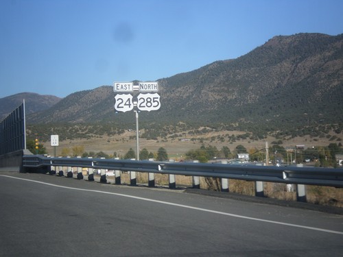
US-24 East/US-285 North at Antero Junction
US-24 East/US-285 North at Antero Junction. Merge right for US-24 East to Colorado Springs; continue straight for US-285 north to Fairplay.
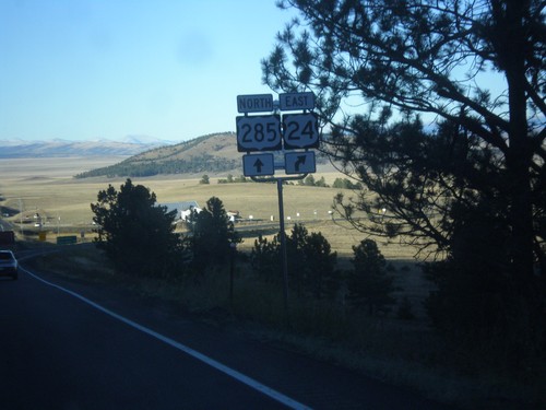
US-24 East/US-285 North - Antero Jct.
US-24 East/US-285 North at Antero Jct. Continue straight for US-285 north; merge right for US-24 east.
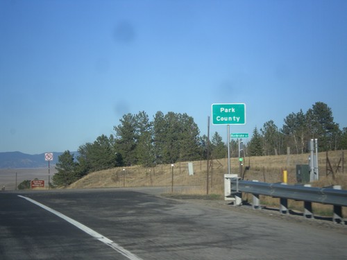
US-24 East/US-285 North - Park County
Entering Park County on US-24 East/US-285 North at Trout Creek Pass - 9,487 Feet.
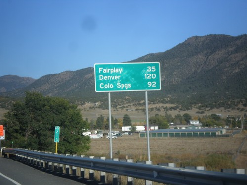
US-24 East/US-285 North - Distance Marker
Distance Marker on US-24 East/US-285 North. Distance to Fairplay and Denver (via US-285), and Colorado Springs (via US-24).
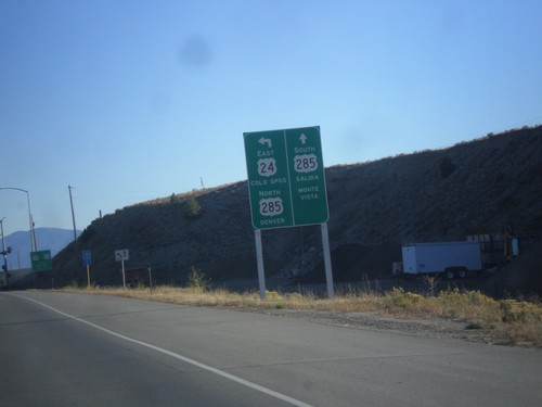
US-24 East at US-285 - Buena Vista
US-24 East at US-285 in Buena Vista. Continue straight for US-285 south to Salida and Monte Vista. Turn left to continue east on US-24 to Colorado Springs, and US-285 north to Denver.
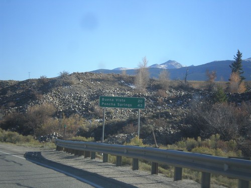
US-24 East - Distance Marker
Distance marker on US-24 east. Distance to Buena Vista and Poncha Springs (via US-285).
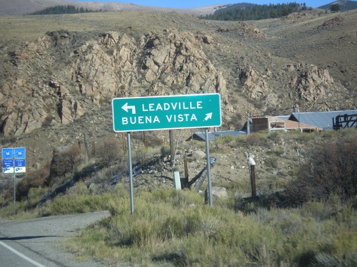
End CO-82 East at US-24
End CO-82 East at US-24. Use US-24 west to Leadville; US-24 east to Buena Vista.
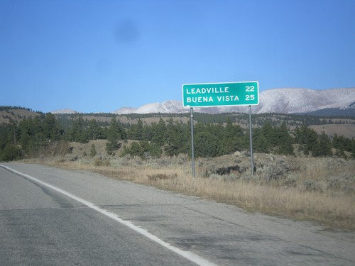
CO-82 East - Distance Marker
Distance marker on CO-82 east. Distance to Leadville (via US-24 west) and Buena Vista (via US-24 east).
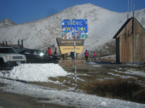
CO-82 East - Independence Pass
Independence Pass on CO-82 east. Independence Pass is 12,095 Feet and on the Continental Divide. Independence Pass is one of the highest mountain passes in Colorado on the state highway system. The only higher pass on the state highway system is US-34 in Rocky Mountain National Park. Independence Pass divides the Arkansas River watershed which flows into the Gulf of Mexico; and the Roaring Fork River which flows into the Colorado River and the Gulf of California.
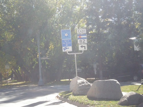
CO-82 East - Aspen
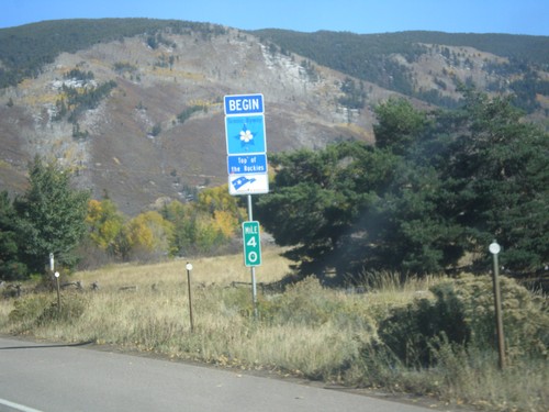
CO-82 east (Original St.) at East Cooper Ave. in Aspen. Turn left on Cooper Ave. to continue east on CO-82 and for the Top of the Rockies Scenic Byway.
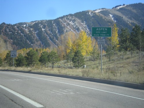
CO-82 East - Entering Aspen
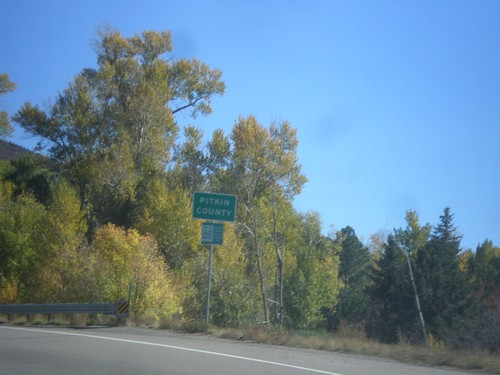
Entering Aspen - Elevation 7908 Feet. Aspen is the county seat of Pitkin County.
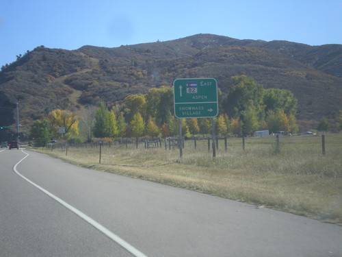
CO-82 East - Snowmass Village Jct.
CO-82 east at Brush Creek Road south to Snowmass Village. Continue east on CO-82 for Aspen.
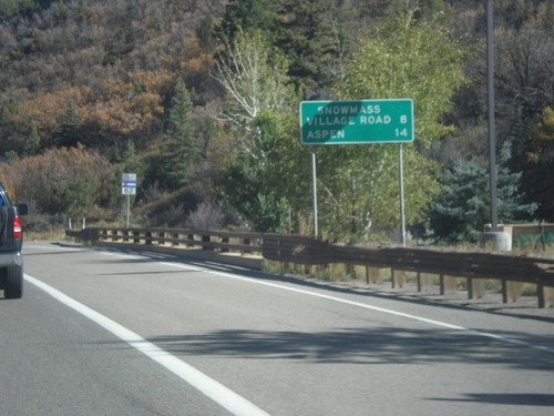
CO-82 East - Distance Marker
Distance marker on CO-82 east. Distance to Snowmass Village Road and Aspen.
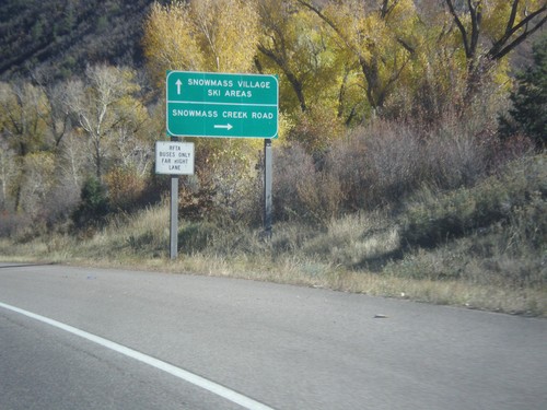
CO-82 East - Snowmass Creek Road Jct.
CO-82 east at Snowmass Creek Road. Continue east on CO-82 for Snowmass Village and Ski Areas.
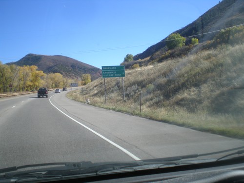
CO-82 East - Distance Marker
Distance marker on CO-82 east. Distance to Snowmass, and Snowmass Village Road.
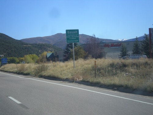
CO-82 East - Basalt
Entering Basalt on CO-82 east. Basalt is a town in the Roaring Fork Valley, located where the Frying Pan River meets the Roaring Fork.
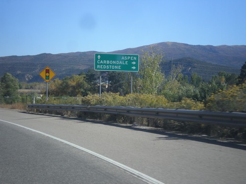
CO-82 East Approaching CO-133 South
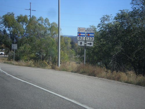
CO-82 East approaching CO-133 South to Redstone and Carbondale. Continue east on CO-82 for Aspen.
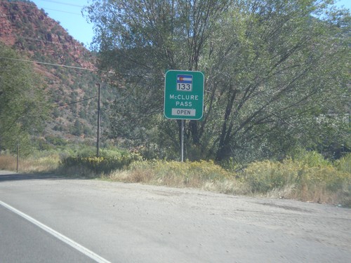
CO-82 East - McClure Pass Status
CO-82 East - CO-133/McClure Pass Status. McClure Pass is located on CO-133 between Redstone and Paonia.
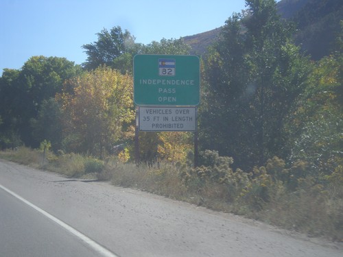
CO-82 East - Independence Pass Status
Independence Pass Status on CO-82 east leaving Glenwood Springs. Typically Independence Pass, just east of Aspen closes between November and May. Independence Pass is one of the highest highway passes in Colorado.
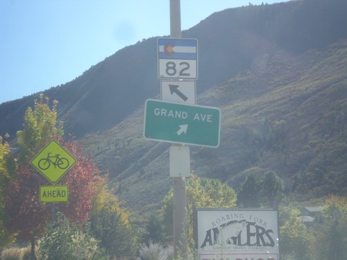
CO-82 East - Grand Ave. Junction
CO-82 east at Grand Ave. Junction in Glenwood Springs. Merge right to continue south on Grand Ave.
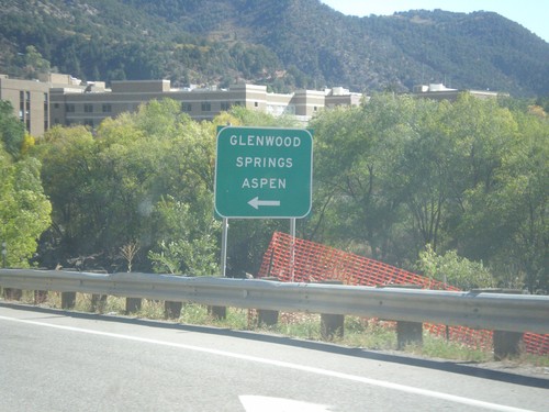
I-70 East (Exit 116 Offramp) at CO-82
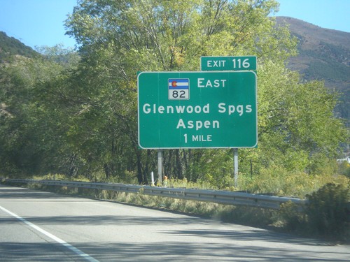
I-70 East (Exit 116 Offramp) at CO-82 in Glenwood Springs. Turn left for CO-82 east to Glenwood Springs and Aspen.
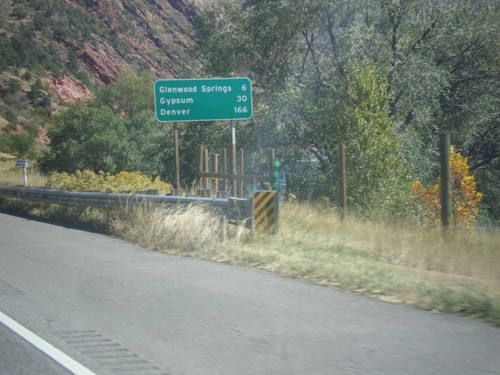
I-70 East - Distance Marker
Distance marker on I-70 east. Distance to Glenwood Springs, Gypsum, and Denver.
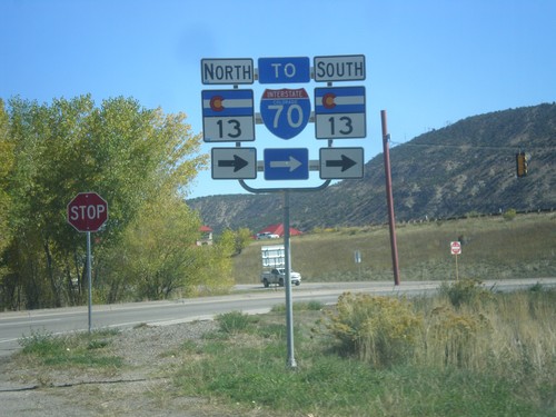
Rifle Rest Area at CO-13
Exit of Rifle Rest Area at CO-13. Turn right for both directions of CO-13. Just south of this intersection is a roundabout for CO-13 northbound traffic to turn around.
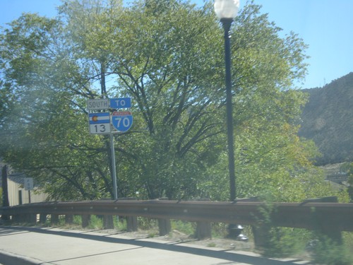
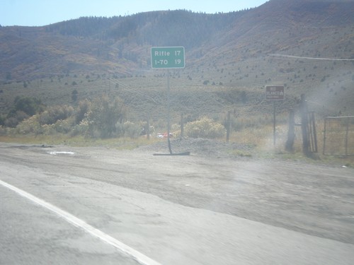
CO-13 South/To I-70 - Rifle
CO-13 South/To I-70 - Rifle. This is also US-6, but not signed on this assembly.
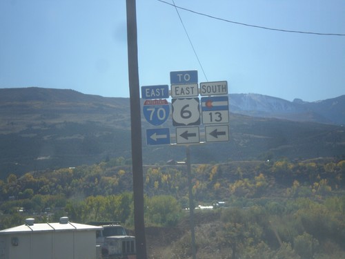
CO-13 South at US-6 - Rifle
CO-13 South at US-6 in Rifle. CO-13 south joins US-6 east through Rifle. Use US-6 east for I-70 access.
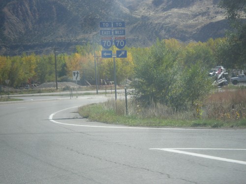
CO-13 South at US-6
CO-13 South at US-6 in Rifle. Turn right for US-6 west and for access to I-70 westbound; turn left for US-6 east and CO-13 south and access to I-70 eastbound.
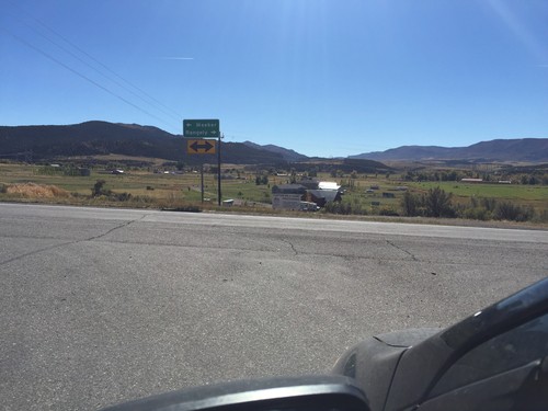
End County Road 7 South at CO-64
End County Road 7 south at CO-64. Turn right for CO-64 west to Rangley; left for CO-64 east to Meeker.
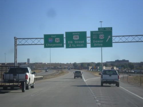
I-80 East - Exits 102 and 104
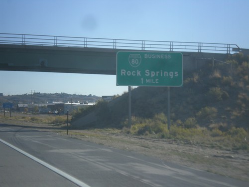
I-80 East at Exit 102 - BL-80/Bus. US-30/Dewar Drive. Next exit is College Drive which is unsigned on this assembly. The exit after that is Exit 104 - US-191 North/Elk St. I-80/US-30 continues east towards Cheyenne.
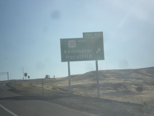
I-80 East - Exit 66
I-80 East at Exit 66 - US-30 West/Kemmerer/Pocatello. US-30 joins I-80 eastbound to just east of Rawlins.
