Signs From March 2017
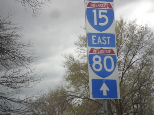
UT-270 South (West Temple) - To I-80 East/I-15 South
UT-270 South (West Temple) - To I-80 East/I-15 South in Salt Lake City. These type of signs directing traffic to I-15 and I-80 with the white background are all over downtown Salt Lake City.
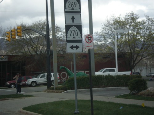
UT-269 East (600 South) at UT-270 (West Temple)
UT-269 East (600 South) at UT-270 (West Temple) in Salt Lake City.
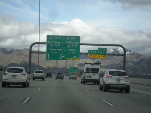
UT-201 East - Exits 17 and I-15/I-80 Jct.
UT-201 east at Exit 17 - 900 West. Approaching I-15 North/Salt Lake/I-80 West/Reno (NV). Also approaching I-15 South/Las Vegas (NV)/I-80 East/Cheyenne (WY).
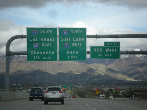
UT-201 East - Exits 17 and I-15/I-80 Jct.
UT-201 East approaching Exit 17 - 900 West. Approaching I-15 South/Las Vegas (NV)/I-80 East/Cheyenne (WY) and I-15 North/Salt Lake/I-80 West/Reno(NV).
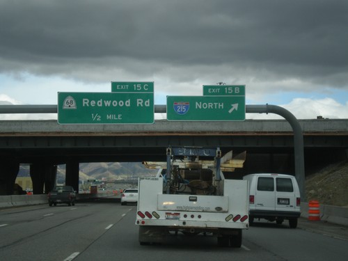
UT-201 East - Exits 15B and 15C
UT-201 east at Exit 15B - I-215 North. Approaching Exit 15C - UT-68/Redwood Road.
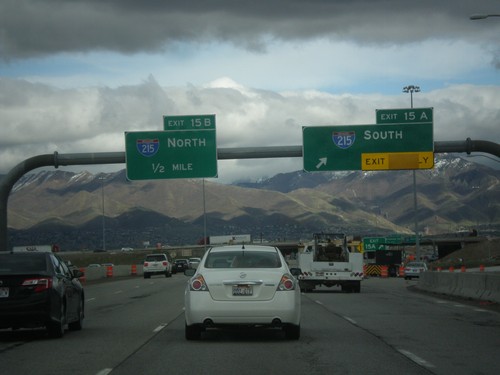
UT-201 East - Exit 15A and 15B
UT-201 east at Exit 15A - I-215 South. Approaching Exit 15B - I-215 North.
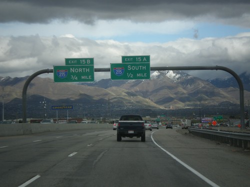
UT-201 East - Exits 15A and 15B
UT-201 east approaching Exit 15A - I-215 South and Exit 15B - I-215 North.
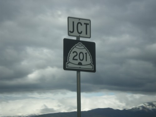
UT-154 North Approaching UT-201
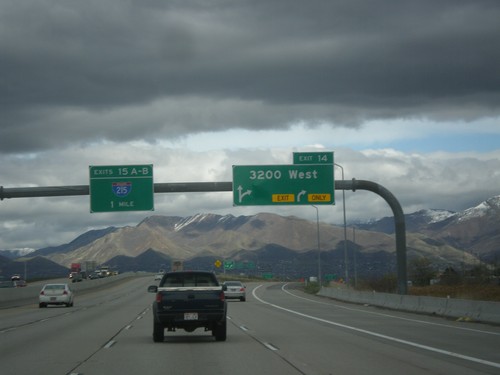
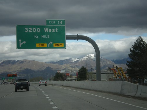
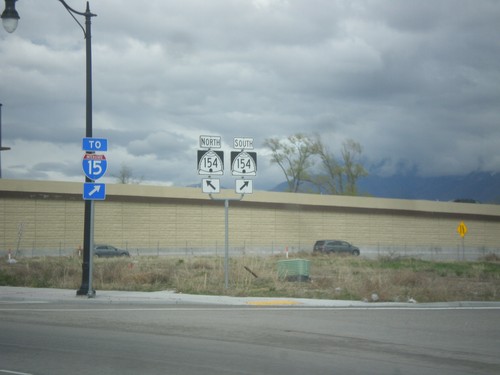
UT-154 North (Bangerter Highway) approaching UT-201 in West Valley City.
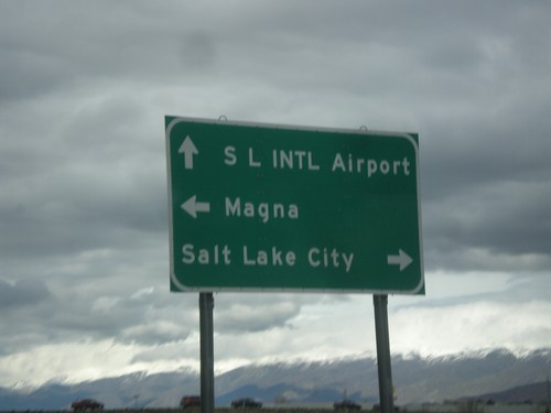
UT-154 North Approaching UT-201
UT-154 North (Bangerter Highway) approaching UT-201. Use UT-201 west for Magna; UT-201 east for Salt Lake City. Continue north on UT-154 for the Salt Lake City International Airport.
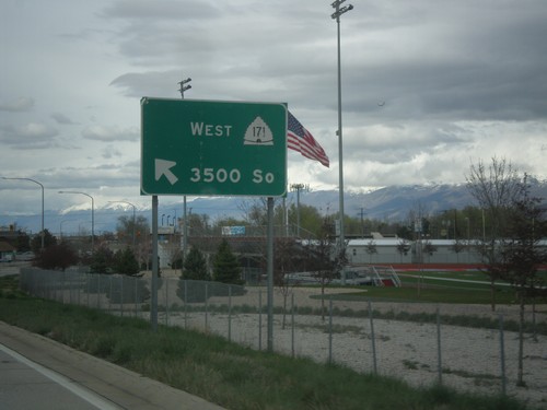
UT-154 North at UT-171 West
UT-154 North (Bangerter Highway) at UT-171 West/3500 South in West Valley City.
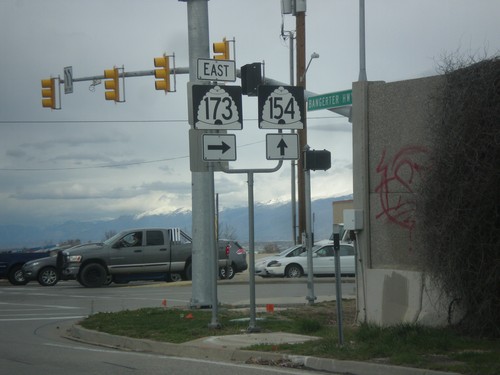
UT-154 North at UT-173 East (5400 South)
UT-154 North (Bangerter Highway) at UT-173 East (5400 South) in Taylorsville. The font size on the Utah highway shields is larger than normal.
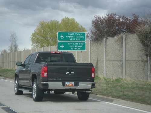
UT-154 North - Salt Lake City Area Airports
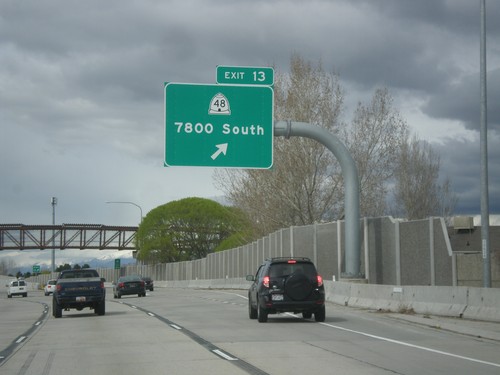
Salt Lake City Area airport directions on UT-154 North (Bangerter Highway). Use next exit (Exit 13) for South Valley Regional Airport. Continue north on UT-154 for the Salt Lake City International Airport.
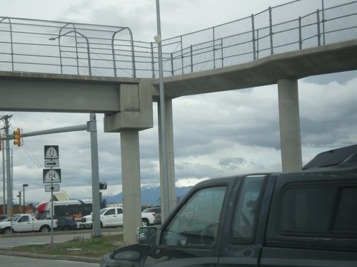
UT-154 North at UT-71 (12600 South)
UT-154 North (Bangerter Highway) at UT-71 East (12600 South) in Riverton.
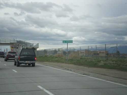
UT-154 North Approaching UT-71 East (12600 South)
UT-154 North Approaching UT-71 East (12600 South). Turn right for UT-71 East; left for 12600 South to Herriman.
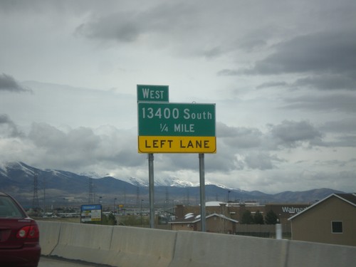
UT-154 North Approaching West 13400 South
UT-154 North (Bangerter Highway) approaching West 13400 South.
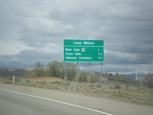
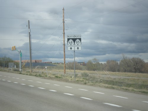
UT-68 North/UT-85 West - Camp Williams Exits
UT-68 North/UT-85 West - Camp Williams Exits. Camp Williams exits are Main Gate, Truck Gate, and Veterans Cemetery.
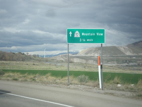
UT-68 North/UT-85 West - Mountain View
UT-68 North/UT-85 West - UT-85/Mountain View (Corridor) - 3.5 miles north.
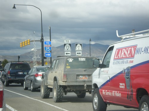
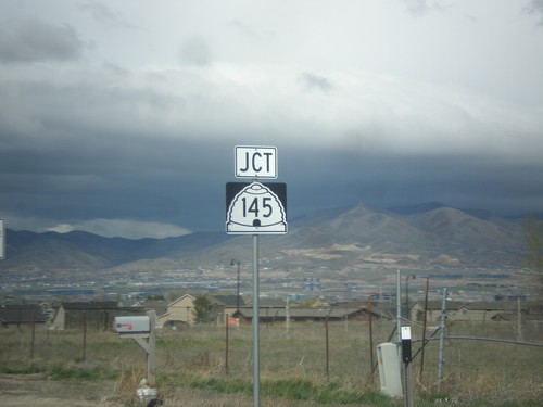
UT-68 North at UT-145 (Pioneer Crossing)
UT-68 North at UT-145 (Pioneer Crossing) in Saratoga Springs. Use UT-145 west to UT-73; UT-145 east to I-15.
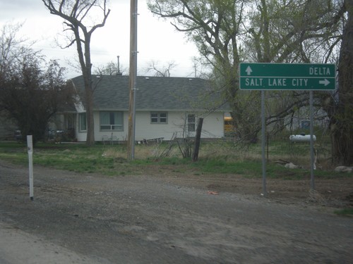
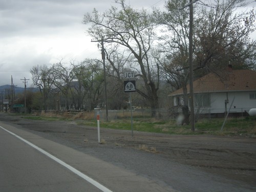
US-6 West at UT-68 North
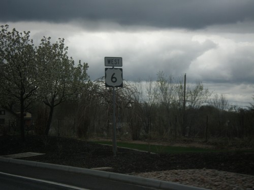
US-6 West at UT-68 North to Salt Lake City. Continue west on US-6 for Delta.
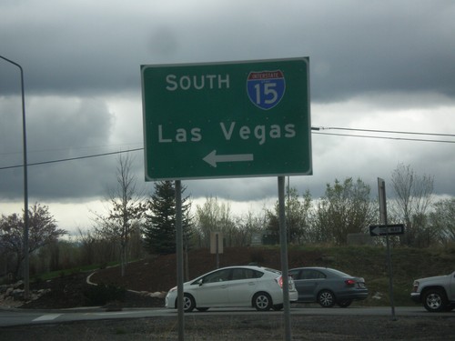
US-6 West at I-15 South (Exit 244)
US-6 West at I-15 South (Exit 244) in Santaquin. Use I-15 south for Las Vegas, NV.
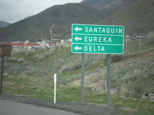
I-15 North - Exit 244 Offramp at US-6 West
I-15 North - Exit 244 Offramp at US-6 West. Turn left on US-6 west for Santaquin, Eureka, and Delta.
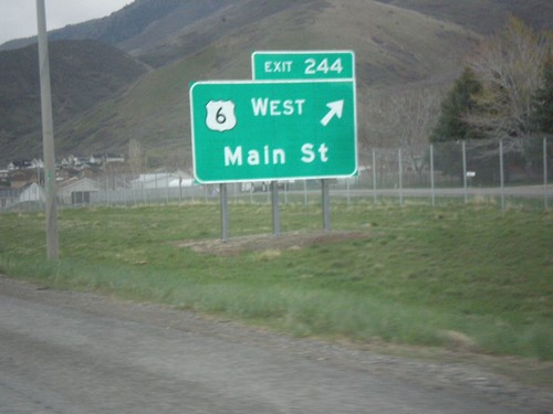
I-15 North - Exit 244
I-15 north at Exit 244 - US-6 West/Main St. US-6 joins I-15 northbound to Spanish Fork. This interchange used to be labeled US-6 West/Santaquin.
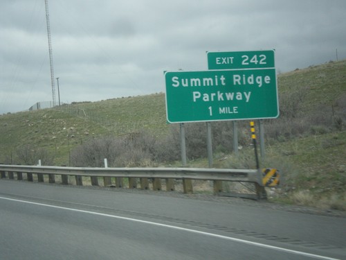
I-15 North - Exit 242
I-15 north approaching Exit 242 - Summit Ridge Parkway. This interchange was recently renamed from South Santaquin.
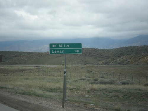
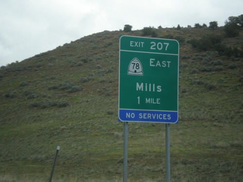
I-15 North - Exit 207 Offramp at UT-78
I-15 north on Exit 207 offramp - UT-78 jct. Turn left for Mills; turn right for UT-78 to Levan.
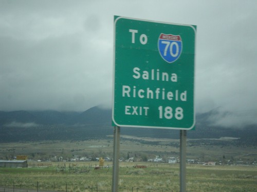
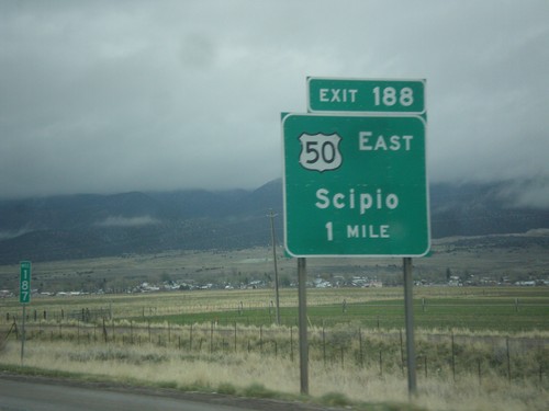
I-15 North - Use Exit 188 For I-70
I-15 North approaching Exit 188. Use Exit 188 For I-70 to Salina and Richfield, via US-50.
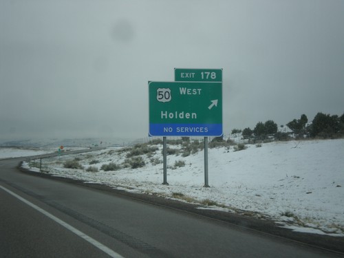
I-15 North - Exit 178
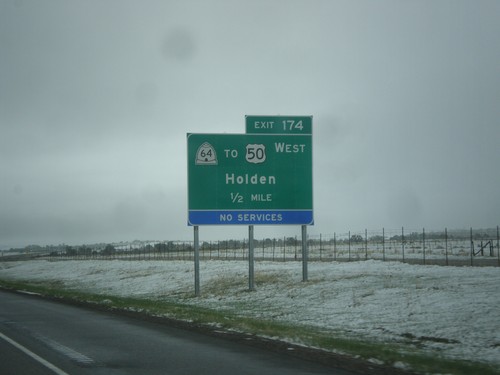
I-15 north at Exit 178 - US-50 West/Holden. US-50 joins I-15 northbound to Scipio.
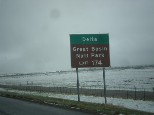
I-15 North - Use Exit 174 for Delta and Great Basin NP
I-15 North approaching Exit 174. Use Exit 174 for Delta and Great Basin NP (in Baker, NV).
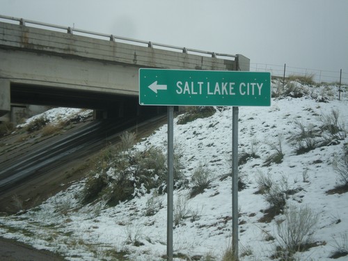
BL-15/UT-99 South at I-15 North (Exit 167)
BL-15/UT-99 South at I-15 North (Exit 167) in Fillmore. Use I-15 north for Salt Lake City.
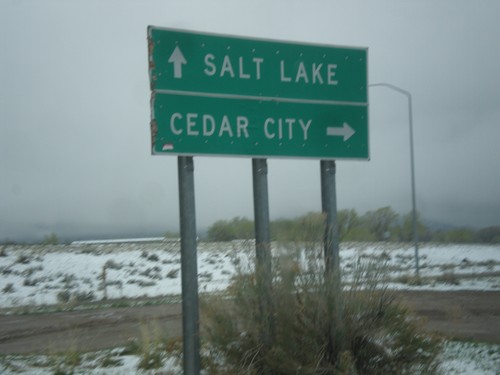
BL-15/UT-99 South at I-15 (Exit 167)
BL-15/UT-99 South at I-15 (Exit 167) in Fillmore. Use I-15 south for Cedar City; I-15 north for Salt Lake.
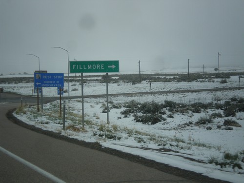
I-15 North at Exit 167 Offramp
I-15 North at Exit 167 Offramp - BL-15/UT-99 Jct. Turn right on BL-15/UT-99 South for Fillmore.
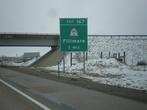
I-15 North - Exit 167
I-15 north approaching Exit 167 - UT-99/Fillmore. This is the northern end of the Fillmore business loop.
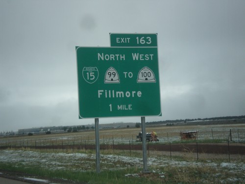
I-15 North - Exit 163
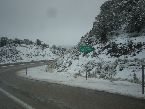
I-15 north approaching Exit 163 - BL-15/UT-99 North/To UT-100 West/Fillmore. Fillmore is the county seat of Millard County, and was the original territorial capital of Utah. This is the southern end of the Fillmore business loop.
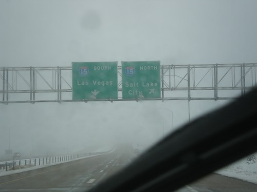
End I-70 West at I-15
End I-70 West at I-15. Use I-15 north for Salt Lake CIty; I-15 South for Las Vegas (Nevada).
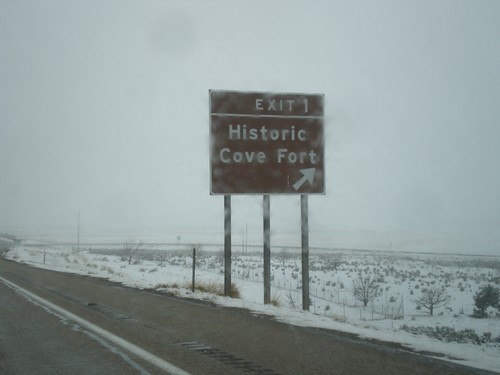
I-70 West - Exit 1
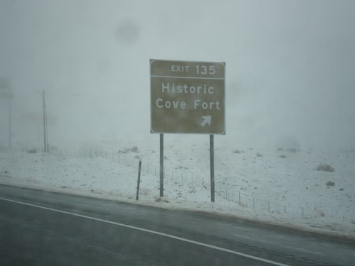
I-70 West at Exit 1 - Historic Cove Fort. This is the last exit westbound on I-70 before I-15.
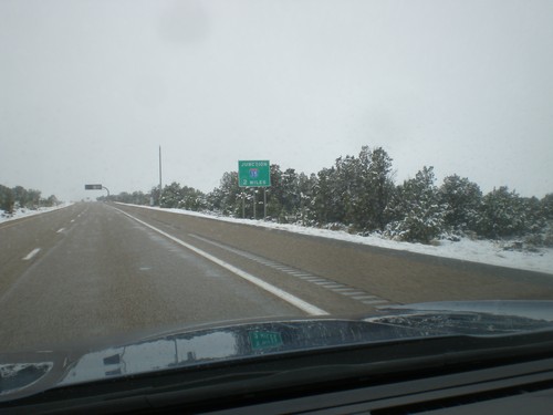
I-70 West Approaching I-15
I-70 West approaching I-15 in Millard County. This is the western end of I-70.
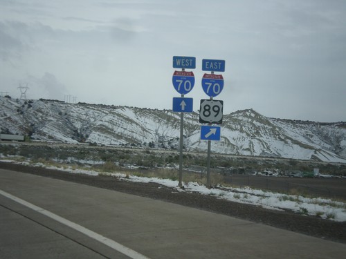
US-89 North at I-70
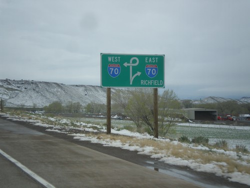
US-89 North at I-70. Merge right for I-70 East/US-89 north. Continue straight ahead for I-70 West. US-89 North joins I-70 East to Salina.
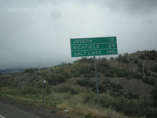
US-89 North - Distance Marker
Distance marker on US-89 north. Distance to Joseph, Richfield, and Salt Lake.
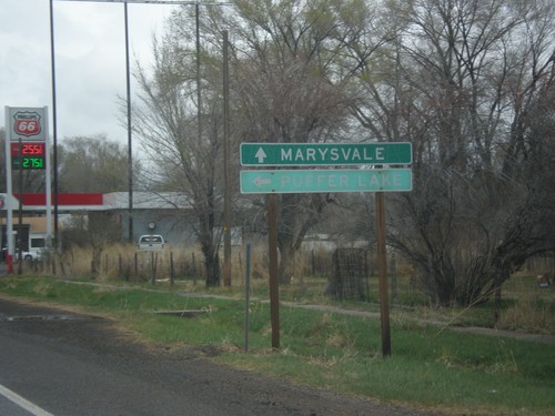
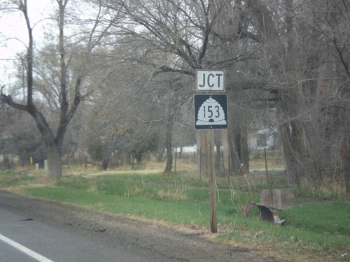
US-89 North at UT-153
US-89 North at UT-153 west to Puffer Lake. Continue north on US-89 north for Marysvale.
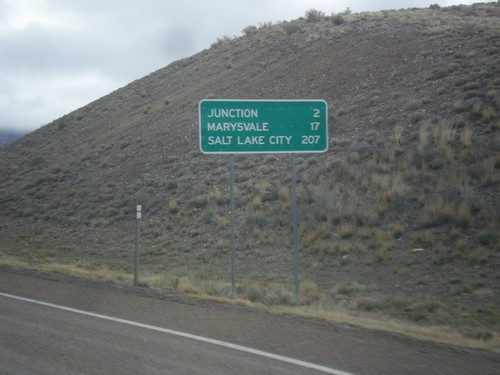
US-89 North - Distance Marker
Distance marker on US-89 north. Distance to Junction, Marysvale, and Salt Lake City.
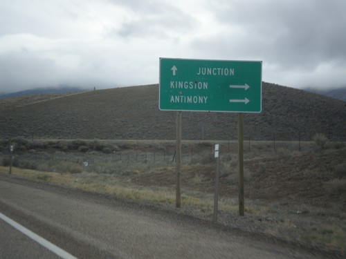
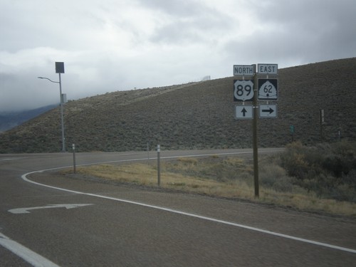
US-89 North Approaching UT-62
US-89 North approaching UT-62 east to Kingston and Antimony. Continue north on US-89 for Junction.
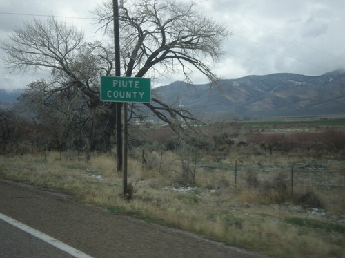
US-89 North - Paiute County
Entering Paiute County on US-89 north. Paiute County is the second least populated county in Utah, behind Daggett County.
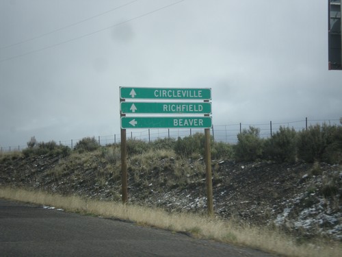
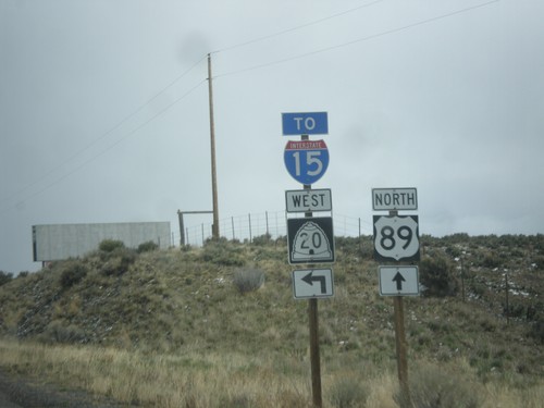
US-89 North at UT-20 West
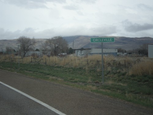
US-89 North at UT-20 West to Beaver. Continue north on US-89 for Circleville and Richfield.
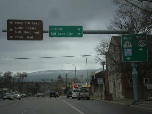
US-89 North at UT-143
US-89 north at UT-143 south. Turn left for UT-143 south to Cedar Breaks National Monument, Brian Head, and Panguitch Lake. Turn right to continue north on US-89 to Richfield and Salt Lake City. UT-143 is part of the Utah’s Patchwork Parkway National Scenic Byway.
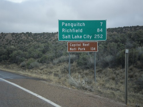
US-89 North - Distance Marker
Distance marker on US-89 north. Distance to Panguitch, Richfield, Salt Lake City, and Capitol Reef National Park.
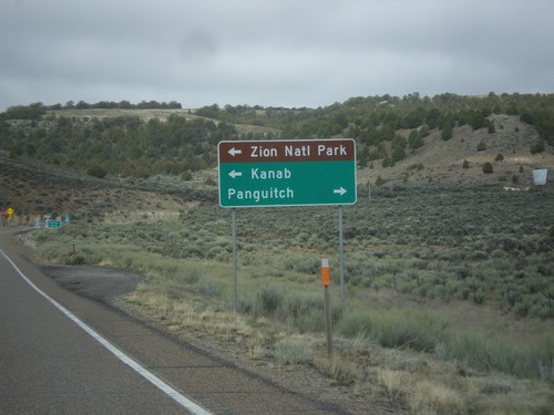
UT-12 West Approaching US-89
UT-12 west approaching US-89. Use US-89 south for Kanab and Zion National Park; use US-89 north for Panguitch.
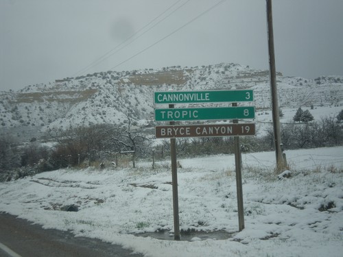
UT-12 West - Distance Marker
Distance marker on UT-12 west. Distance to Cannonville, Tropic, and Bryce Canyon (National Park).
