Signs From April 2017
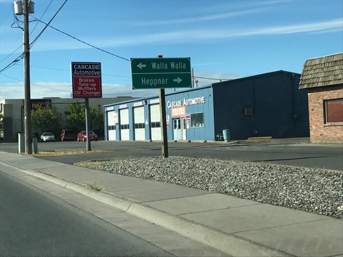
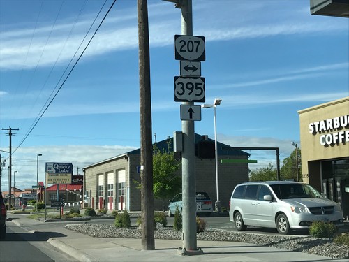
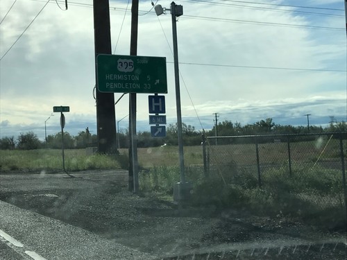
US-395 South Approaching OR-207
US-395 South approaching OR-207 in Hermiston. Use OR-207 south for Heppner; OR-207 north for Walla Walla (Washington).
US-730 East/US-395 South at US-730/US-395 Split
US-730 East/US-395 South at US-730/US-395 Split in Umatilla. Merge right to continue south on US-395 to Hermiston and Pendleton.
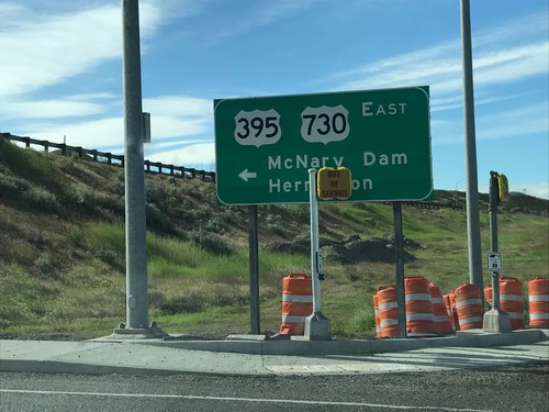
I-82 East Exit 1 Offramp at US-395/US-730
I-82 East Exit 1 Offramp at US-395/US-730 in Umatilla. Turn left for US-730 East/US-395 South/McNary Dam/Hermiston.
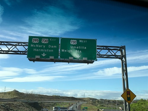
I-82 East - Exit 1 Offramp
I-82 East - Exit 1 Offramp in Umatilla. Turn right for US-730 West/Umatilla/Weigh Station. Turn left for US-730 East/US-395 South/McNary Dam/Hermiston. US-395 leaves I-82 eastbound here.
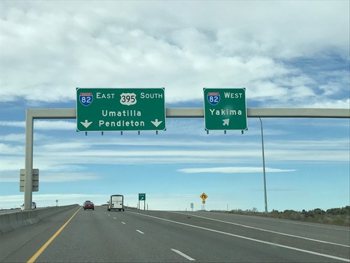
US-395 South at I-82
US-395 south at I-82 in Benton County. Use I-82 West for Yakima; I-82 East/US-395 South for Umatilla (OR) and Pendleton (OR). US-395 south joins I-82 east into Oregon.
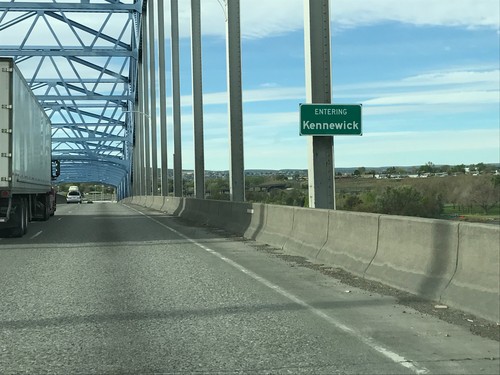
US-395 South - Kennewick
Entering Kennewick on US-395 south crossing the Columbia River on the Blue Bridge. Kennewick is one of the tri-cities of Washington, the other two being Pasco and Richland.
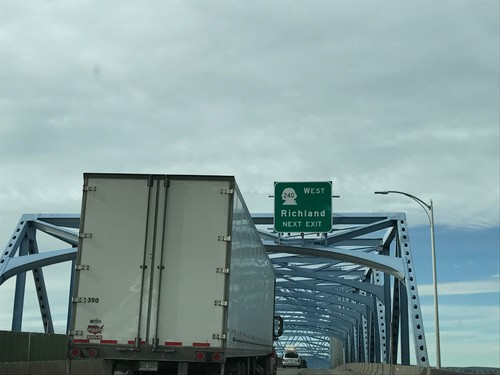
US-395 South Approaching WA-240 West
US-395 South approaching WA-240 West/Richland. Taken on the Blue Bridge over the Columbia River.
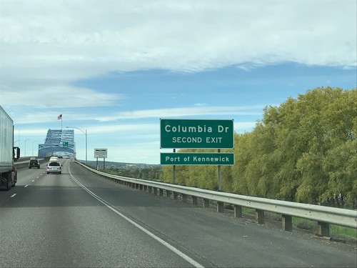
US-395 South - Columbia Drive
US-395 south approaching Columbia Drive/Port of Kennewick. Approaching the Blue Bridge over the Columbia River.
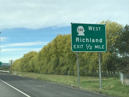
US-395 South - Approaching WA-240 West
US-395 South approaching WA-240 West/Richland in Pasco. Approaching the Blue Bridge over the Columbia River.
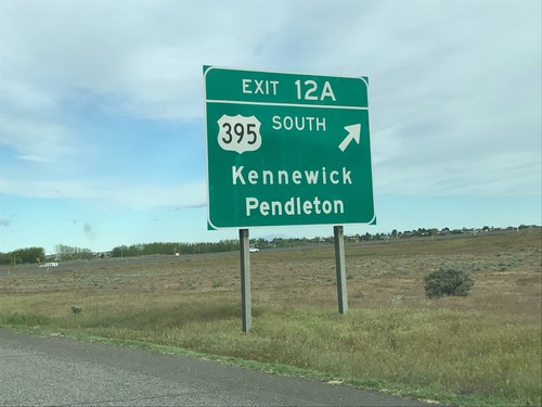
I-182/US-12 West/US-395 South - Exit 12A
I-182/US-12 West/US-395 South at Exit 12A - US-395 South/Kennewick/Pendleton (Oregon). US-395 south leaves I-182 here.
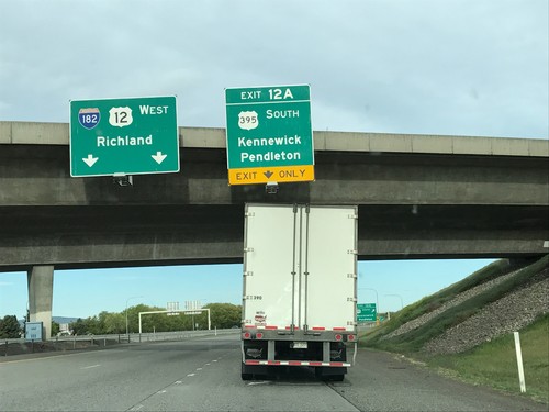
I-182/US-12 West/US-395 South - Exit 12A
I-182/US-12 West/US-395 South at Exit 12A - US-395 South/Kennewick/Pendleton (Oregon). Continue west on I-182/US-12 for Richland.
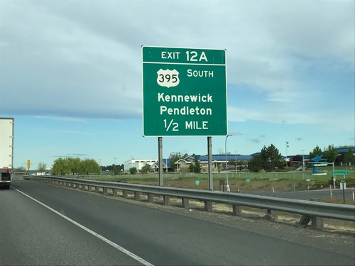
I-182/US-12 West/US-395 South - Exit 12A
I-182/US-12 West/US-395 South - Exit 12A - US-395 South/Kennewick/Pendleton (Oregon).
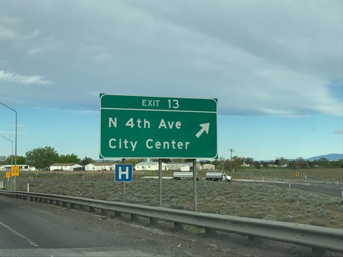
I-182/US-12 West/US-395 South - Exit 13
I-182/US-12 West/US-395 South at Exit 13 - N 4th Ave./(Pasco)City Center.
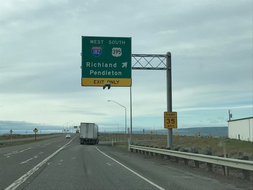
US-395 South at I-182/US-12 - Pasco
US-395 South at I-182/US-12 in Pasco. Merge right to continue south on US-395, and I-182/Pendleton (Oregon)/Richland. US-395 south joins I-182 through Pasco.
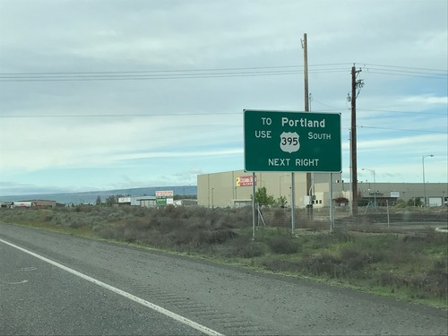
US-395 South Approaching I-182/US-12
US-395 South approaching I-182/US-12 in Pasco. For Portland (Oregon), continue south on US-395.
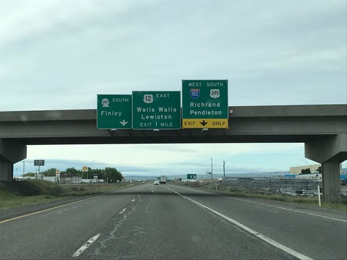
US-395 South - I-182/US-12/WA-397 Jct.
US-395 South - I-182/US-12/WA-397 Jct. in Pasco. Continue on road south for WA-397 South to Finley. Merge right to continue south on US-395 and for I-182/US-12 West to Richland and Pendleton (Oregon). Use US-12 East for Walla Walla and Lewiston (Idaho).
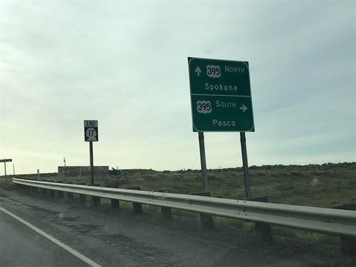
End WA-17 South at US-395
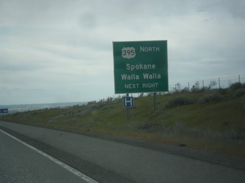
End WA-17 South at US-395 in Franklin County. Use US-395 south for Pasco; US-395 north for Spokane.
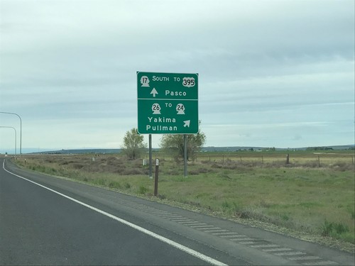
WA-17 South at WA-26
WA-17 south at WA-26 in Adams County. Use WA-26 for WA-24/Yakima/Pullman. Continue south on WA-17 for US-395/Pasco.
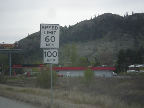
US-97 South - Speed Limit
Speed limit on US-97 south. Speed 60 MPH / 100 KmH. This is the only speed limit sign south of the border with dual measurement systems.
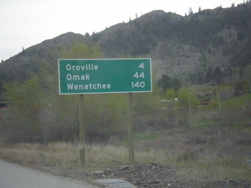
US-97 South - Distance Marker
Distance marker on US-97 south. Distance to Oroville, Omak, and Wenatchee. This is the first distance marker on US-97 in the United States.
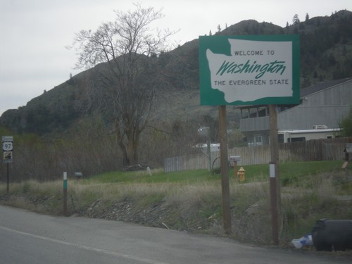
US-97 South - Welcome To Washington
Welcome to Washington - The Evergreen State on US-97 south. Taken just south of US Customs at the US-Canadian border.
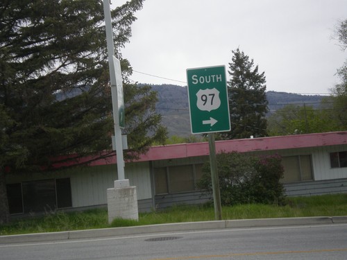
US-97 South - Exiting US Customs
Turn right for US-97 South - Exiting US Customs Port of Oroville facility.
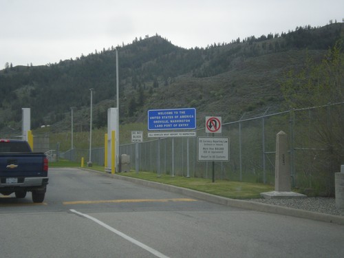
Begin US-97 South - US Customs
Welcome to the United States of America - Oroville, Washington Land Port of Entry at the beginning of US-97 south. Taken at the Canadian-USA boundary.
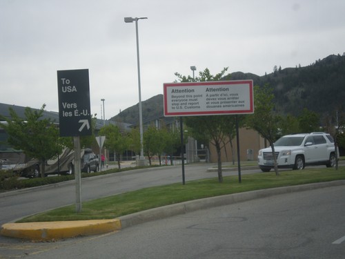
BC-97 South Approaching Customs - Port of Oroville
BC-97 South approaching Customs - Port of Oroville. All traffic beyond this sign must report to US Customs.
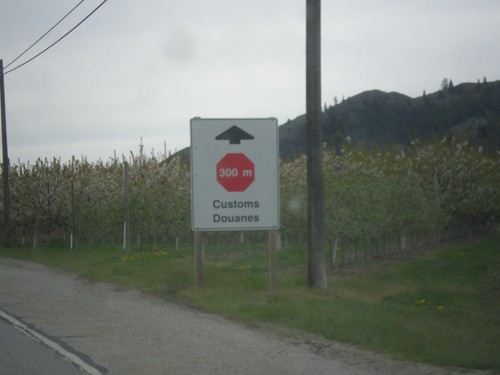
BC-97 South Approaching Customs
Customs / Douanes in 300 meters stop ahead. Approaching the US-Canada border at Port of Oroville.
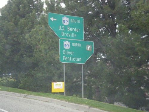
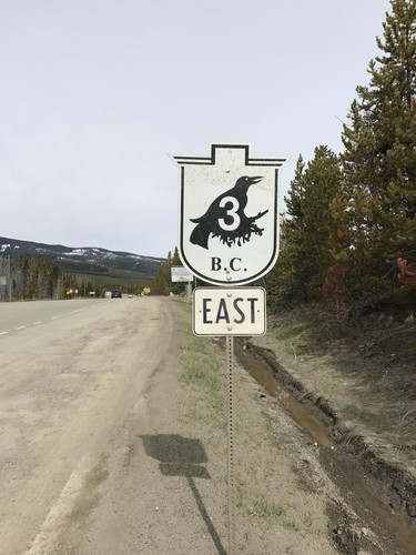
BC-3 West (Crowsnest Highway) at BC-97
BC-3 West (Crowsnest Highway) at BC-97 in Osoyoos. Use BC-97 north for Oliver and Penticton. Use BC-97 south for US Border and Oroville (Washington).
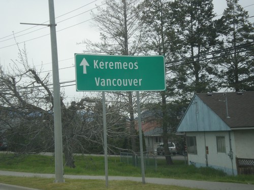
BC-3 West at BC-97
BC-3 West (Crowsnest Highway) at BC-97 in Osoyoos. Continue west on BC-3 for Keremeos and Vancouver.
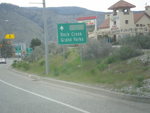
BC-3 East at BC-97
BC-3 East at BC-97 in Osoyoos. Continue east on BC-3 for Rock Creek and Grand Forks.
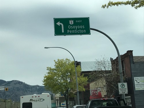
BC-3 East - Keremeos
BC-3 East in Keremeos. Turn left to continue east on BC-3 to Penticton and Osoyoos. The BC-3 shield on the overhead sign does not use the Crowsnest Highway logo.
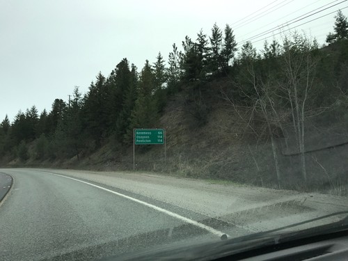
BC-3 East - Distance Marker
Distance marker on BC-3 east. Distance to Keremeos, Osoyoos, and Penticton.
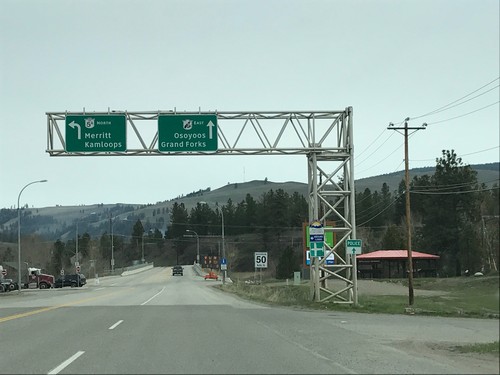
BC-3 East at BC-5A - Princeton
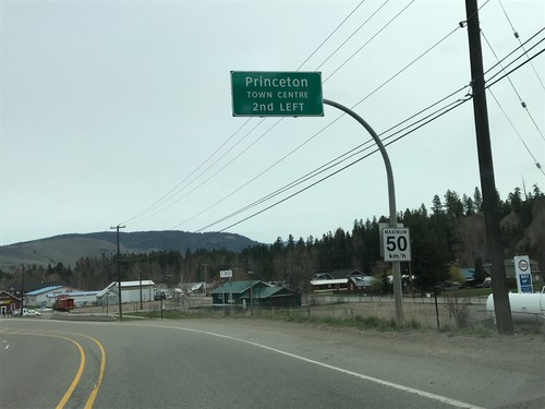
BC-3 East at BC-5A in Princeton. Turn left for BC-5A North to Merritt and Kamloops. Continue east on BC-3 for Osoyoos and Grand Forks.
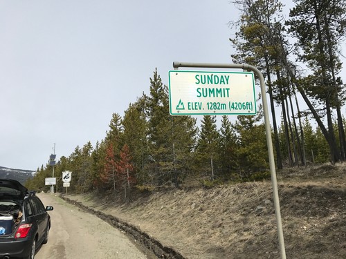
BC-3 East - Sunday Summit
Sunday Summit - Elevation 1282m on BC-3 east. Sunday Summit is a mountain pass in the Cascade Range.
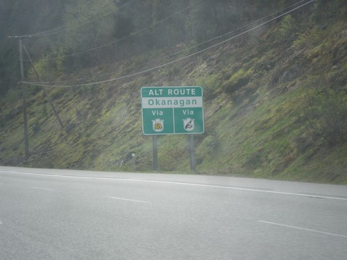
BC-5 North/BC-3 East - Alternate Routes To the Okanagan
Alternate Routes To the Okanagan BC-5 North (via BC-97D) and BC-3 East.
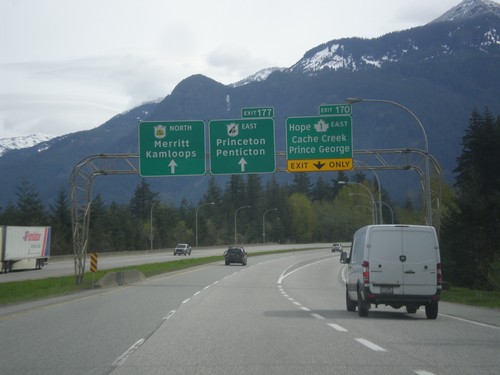
TC-1 East - Exit 170 and Begin BC-5/BC-3
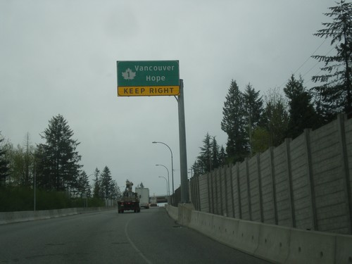
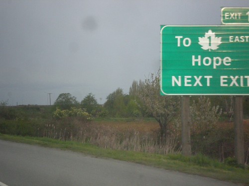
TC-1 East - Exit 170 - TC-1 East/Prince George/Hope. Freeway continues east as BC-5 North to Merritt and Kamloops and BC-3 East/Princeton/Penticton.
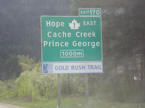
TC-1 East - Exit 170
TC-1 east approaching Exit 170 - TC-1 East/Hope/Cache Creek/Prince George. TC-1 leaves the freeway at Exit 170 and turns north up the Fraser River Canyon. The freeway continues east as BC-5 (Coquihalla Highway) and BC-3 (Crowsnest Highway).
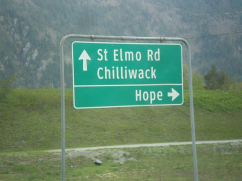
Hunter Creek Road Access Road at TC-1
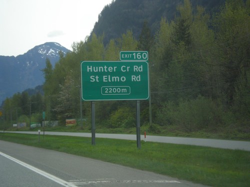
Hunter Creek Road access Road at TC-1. Use TC-1 East for Hope; use TC-1 West for Chilliwack. Continue under freeway for St. Elmo Road.
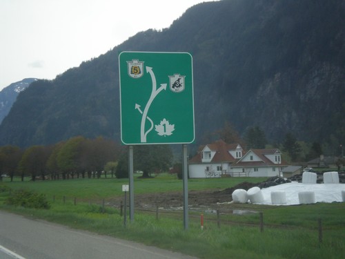
TC-1 East - Route Diagram
TC-1 East - Route Diagram showing BC-5 (Coquihalla Highway), BC-3 (Crowsnest Highway) and TC-1 (Trans-Canada Highway). TC-1 leaves the freeway at Hope.
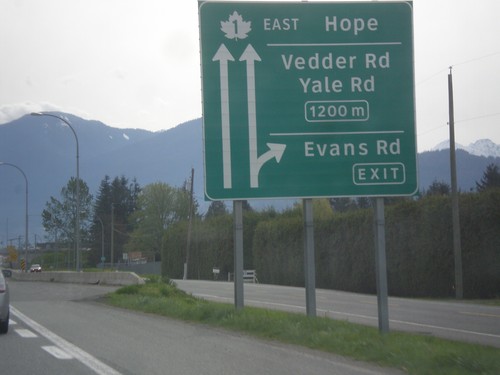
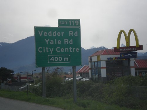
TC-1 East - Exits 118 and 119
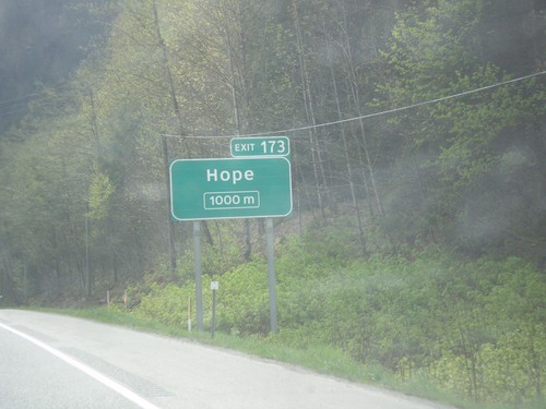
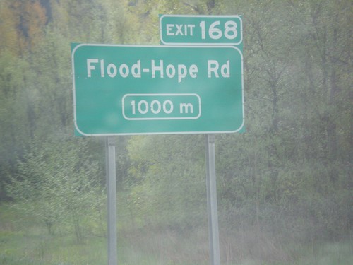
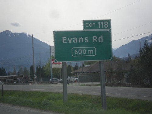
TC-1 east at Exit 118 - Evans Road. Approaching Exit 119 - Vedder Road/Yale Road. Continue east on TC-1 for Hope.
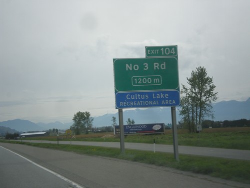
TC-1 East - Exit 104
TC-1 east approaching Exit 104 - No. 3 Road. Use Exit 104 for the Cultus Lake Recreation Area.
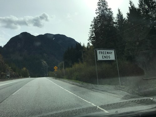
BC-3 East - Freeway Ends
Freeway Ends eastbound on BC-3 East (Crowsnest Highway). Highway begins climb towards Allison Pass. Highway remains four lanes eastbound for the next 10 km.
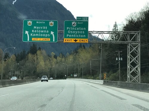
BC-3 East / BC-5 North at Split
BC-3 East / BC-5 North at BC-3/BC-5 Split - Exit 177. Merge right for Exit 177 - BC-3 East (Crowsnest Highway) to Princeton/Osoyoos/Penticton. Merge left for BC-5 North (Coquihalla Highway) to Merritt/Kelowna/Kamloops. The freeway continues along BC-5 north.
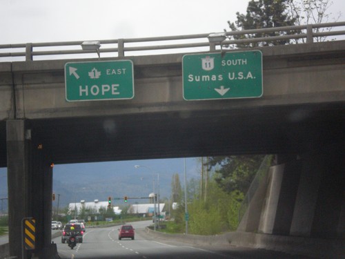
BC-11 South at TC-1 East
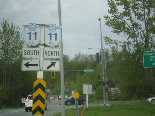
BC-11 South at TC-1 East to Hope. Continue south on BC-11 for Sumas, USA via the Huntingdon/Sumas Border Crossing.
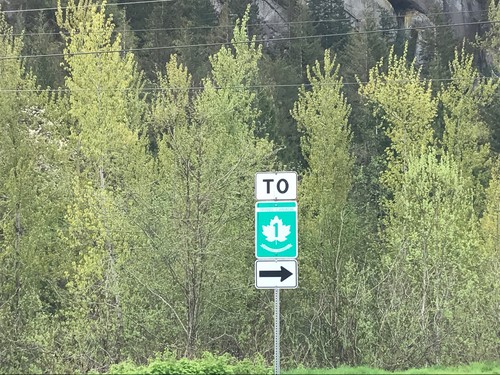
To TC-1 - Leaving Hunter Creek Rest Area
To TC-1 - Leaving Hunter Creek Rest Area in the Fraser Valley Regional District.
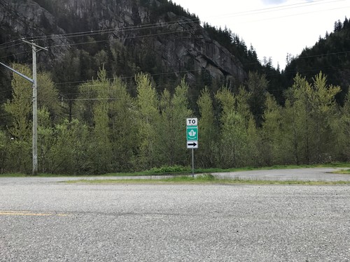
To TC-1 Leaving Hunter Creek Rest Area
To TC-1 - Leaving Hunter Creek Rest Area in the Fraser Valley Regional District.
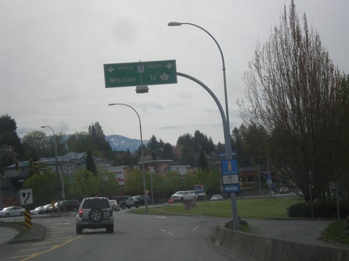
Fraser Way East at BC-11
Fraser Way East at BC-11 in Abbotsford. Use BC-11 north for Mission; BC-11 south for TC-1 junction.
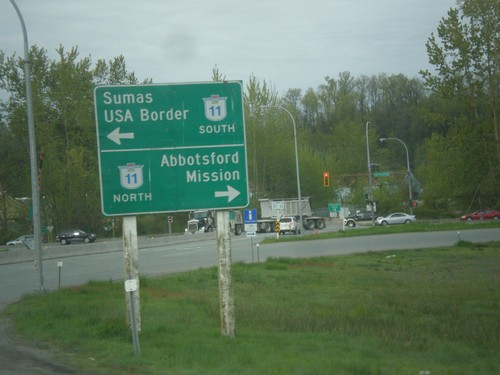
TC-1 East Exit 92 Offramp at BC-11
TC-1 east Exit 92 offramp at BC-11. Turn left for BC-11 South/Sumas/USA Border. Turn right for BC-11 North/Abbotsford/Mission.
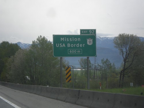
TC-1 East - Exit 92
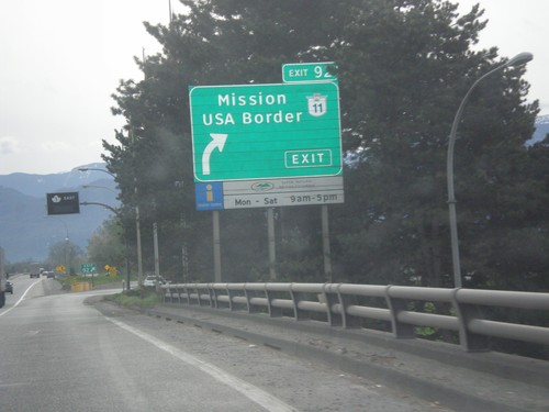
TC-1 east approaching Exit 92 - BC-11/Mission/USA Border (Huntington/Sumas Crossing).
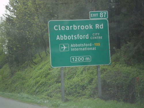
TC-1 East - Exit 87
TC-1 east approaching Exit 87 - Clearbrook Road/Abbotsford City Center/Abbotsford (YXX) International Airport.
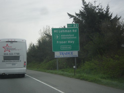
TC-1 East - Exit 83
TC-1 east approaching Exit 83 - Mt Lehman Road/Abbotsford International Airport/Fraser Highway.
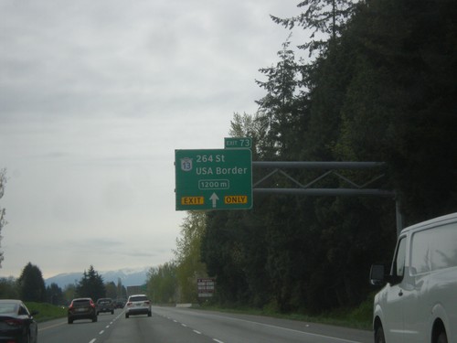
TC-1 East - Exit 73
TC-1 east approaching Exit 73 - BC-13 South/264 St./USA Border. Use BC-13 South for the Aldergrove/Lynden border crossing.
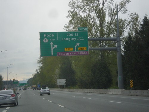
TC-1 East - Exit 58
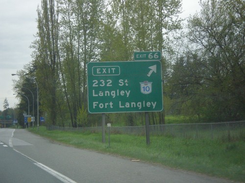
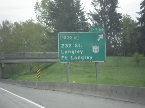
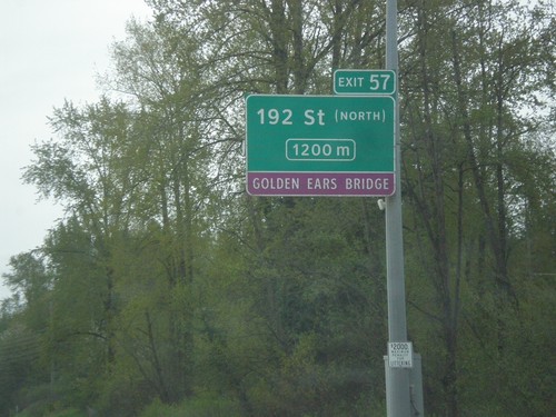
TC-1 east approaching Exit 58 - 200 St./Langley City Center./Golden Ears (Toll) Bridge. Continue east on TC-1 for Hope.
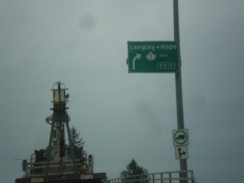
End BC-17 East at TC-1 and BC-15
End BC-17 East at TC-1 and BC-15 in Surrey. Merge right for TC-1 East to Langley and Hope. Roadway becomes BC-15 South/176 St.
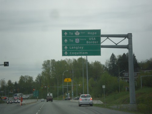
BC-17 East - 104 Ave
BC-17 East (South Fraser Perimeter Road) at 104 Ave. Continue east on BC-17 for BC-15 South to USA Border, TC-1 East to Hope, Langley, and Coquitlam.
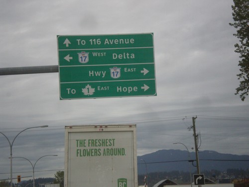
Bridgeview Road north at BC-17
Bridgeview Road north at BC-17 in Surrey. Turn right for BC-17 East to TC-1 and Hope. Turn left for BC-17 West to Delta. Continue north on Bridgeview Road for 116 Ave.
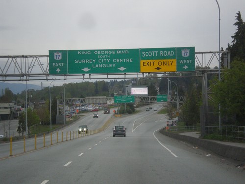
King George Blvd. South at BC-17
King George Blvd. South at BC-17. Merge right for BC-17 west and Scott Road. Continue straight for King George Blvd. South to Surrey City Center, Langley, and BC-17 East.
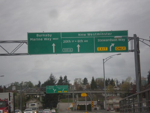
Approaching End BC-91A North in New Westminster
Approaching end BC-91A North on the Queensway Bridge in New Westminster. For New Westminster access merge right for Stewardson Way or continue straight for 20th St./6th Ave. Use left lane for Marine Way West to Burnaby.
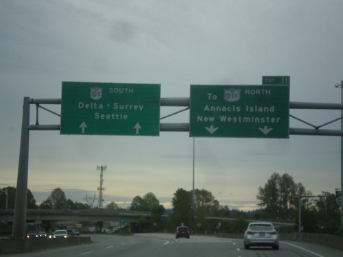
BC-91 South - Exit 11
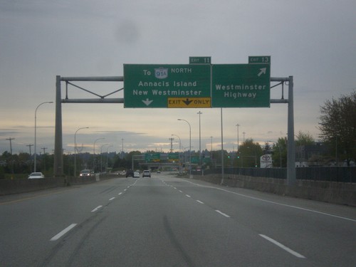
BC-91 south at Exit 11 - To BC-91A North/Annacis Island/New Westminster. Continue south on BC-91 for Delta, Surrey, and Seattle (WA).
BC-91 South - Exits 13 and 11
BC-91 south at Exit 13 - Westminster Highway. Approaching Exit 11 - To BC-91A North/Annacis Island/New Westminster.
BC-91 South - Distance Marker
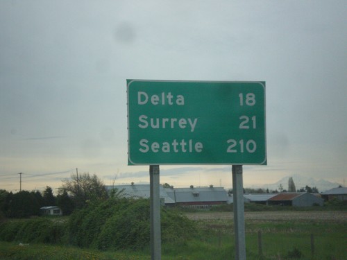
Distance marker on BC-91 south. Distance to Delta, Surrey, and Seattle (USA).
BC-91 South - Exit 22
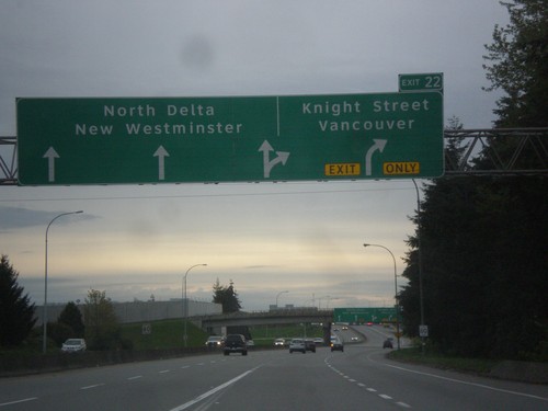
BC-91 south approaching Exit 22 - Knight St./Vancouver. Continue south on BC-91 for North Westminster and North Delta.
BC-99 South - Exit 39A
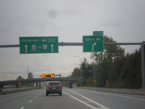
BC-99 south at Exit 39A - Shell Road. Continue south on BC-99 for BC-91, USA Border, and Ferry to Victoria and Nanaimo.
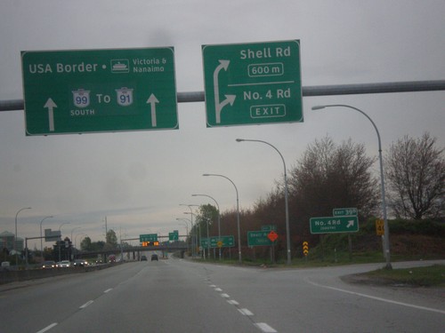
BC-99 South - Exits 39B and 39A
BC-99 at Exit 39B - Number 4 Road. Approaching Exit 39A - Shell Road. Continue south on BC-99 for BC-91, USA Border, and Ferry to Victoria and Nanaimo.
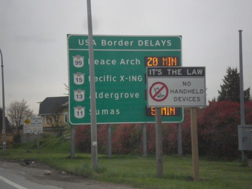
BC-99 South - Border Crossing Times
Vancouver area border crossing times into the USA on BC-99 south. Border crossing times via Peace Arch (BC-99), Pacific X-ING (BC-15), Aldergrove (BC-13), and Sumas (BC-11).
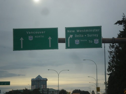
Sea Island Way at BC-99
Sea Island Way east at BC-99. Merge right for BC-99 South/To BC-91/New Westminster/Delta/Surrey. Use BC-99 north for Vancouver.
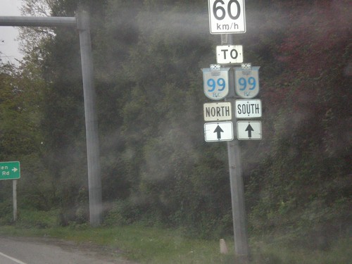
Sea Island Way East Approaching BC-99
Sea Island Way East Approaching BC-99 in Richmond. Speed Limit 60 km/h.
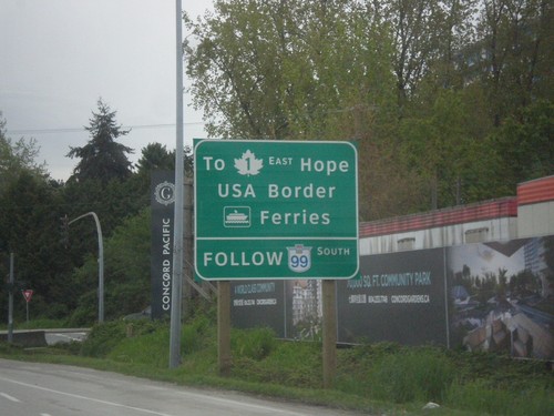
Sea Island Way Approaching BC-99
Sea Island Way approaching BC-99. Use BC-99 south for TC-1 East to Hope.
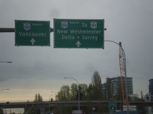
Sea Island Way at Number 3 Road
Sea Island Way at Number 3 Road. Continue east on Sea Island Way for BC-99 North/Vancouver and BC-99 South/To BC-91/New Westminster/Delta/Surrey.
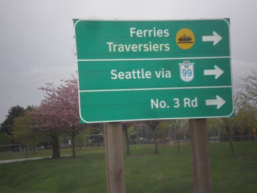
Miller Road West at Sea Island Way Ramps
Miller Road West at Sea Island Way onramp. Turn right onto Sea Island Way for Ferries, Seattle via BC-99, and No. 3 Road.
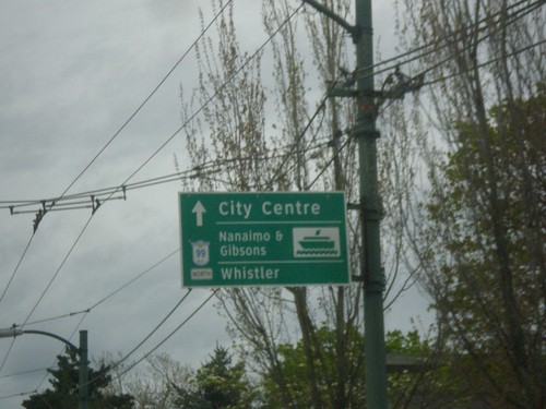
BC-99 North - Destinations
Destinations on BC-99 North (Oak St.). Use BC-99 north for (Vancouver) City Center, Nanaimo and Gibbons Ferry, and Whistler.
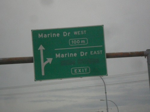
BC-99 North - Exits 41A and 41B
BC-99 north at Exit 41A - Marine Drive East. Approaching Exit 41B - Marine Drive West. The BC-99 freeway ends after this interchange and becomes a surface street.
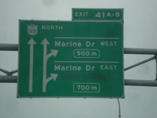
BC-99 North - Exits 41A-B
BC-99 north approaching Exit 41A - Marine Drive East and Exit 41B - Marine Drive West.
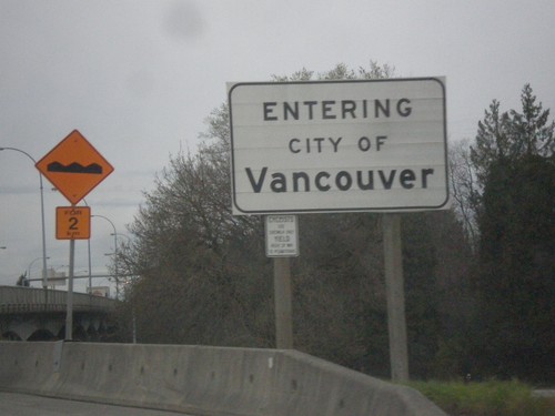
BC-99 North - Entering Vancouver
Entering city of Vancouver on BC-99 north. Vancouver is the largest city in the province of British Columbia and the 8th biggest city in Canada.
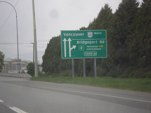
BC-99 North - Exit 39
BC-99 north approaching Exit 39 - Bridgeport Road/Vancouver - YVR International. Continue north on BC-99 for Vancouver.
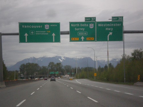
BC-99 North - Exits 36 and 37
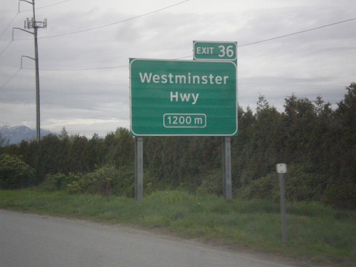
BC-99 north at Exit 36 - Westminster Highway. Approaching Exit 37 - BC-91/North Delta/Surrey. Continue north on BC-99 for Vancouver and Vancouver International Airport.
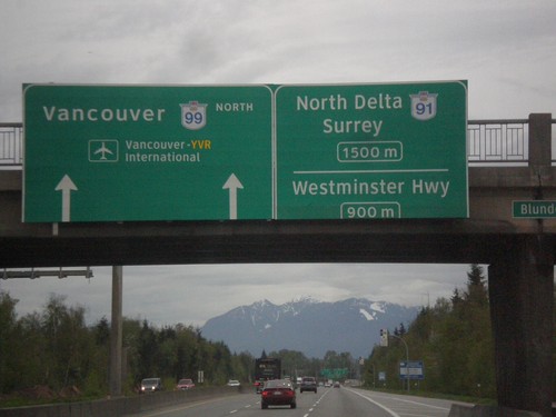
BC-99 North - Exits 36 and 37
BC-99 approaching Exit 36 - Westminster Highway. Approaching Exit 37 - BC-91/North Delta/Surrey. Continue north on BC-99 for Vancouver and Vancouver International Airport (YVR).
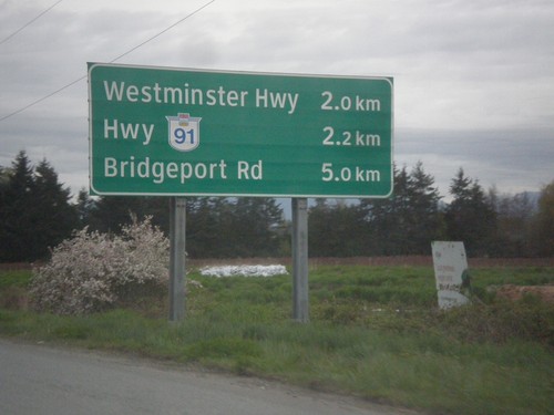
BC-99 North - Next 3 Exits
Next 3 exits on BC-99 north in Richmond: Westminster Highway, Hwy BC-91, and Bridgeport Road.
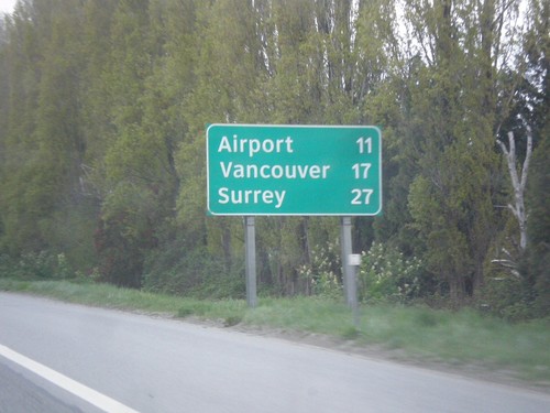
BC-99 North - Distance Marker
Distance marker on BC-99 north. Distance to (Vancouver International) Airport, Vancouver, and Surrey (via BC-91).
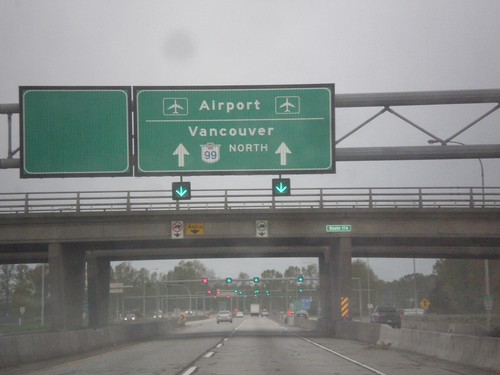
BC-99 North - Vancouver and Airport
Variable message sign on BC-99 North approaching the George Massey Tunnel. Use BC-99 north for Vancouver and Airport
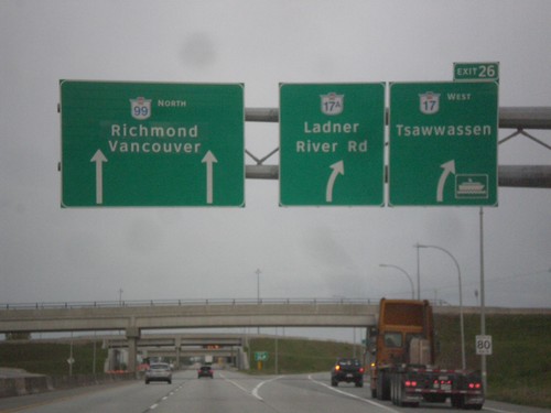
BC-99 - Exit 26
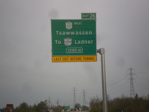
BC-99 north at Exit 26 - BC-17 West/Tsawwassen/BC-17A/Ladner River Road. Continue north on BC-99 for Richmond and Vancouver. Use BC-17 West for the Tsawwassen Ferry Terminals.
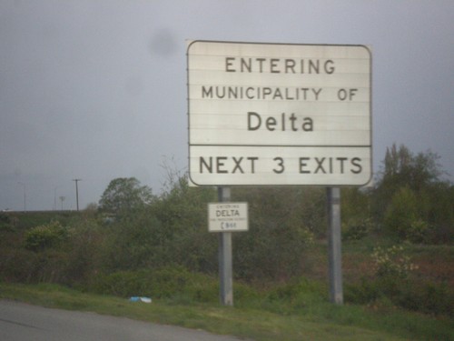
BC-99 North - Delta
Entering municipality of Delta on BC-99 North. Next three exits have access to Delta.
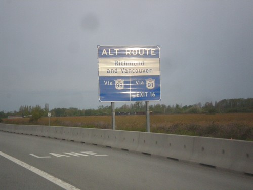
BC-99 North - Vancouver and Richmond
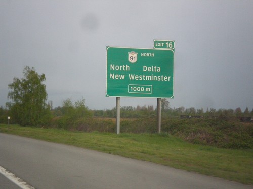
Alternate routes to Vancouver and Richmond on BC-99 north. Vancouver and Richmond traffic can use either BC-99 or BC-91.
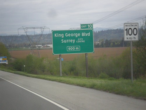
BC-99 North - Exit 10
BC-99 north approaching Exit 10 - King George Blvd/Surrey City Center. Speed Limit - 100 km/h.
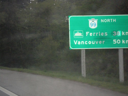
BC-99 North - Distance Marker
Distance marker on BC-99 north. Distance to (Tsawwassen) Ferries - 38km; distance to Vancouver - 50km.
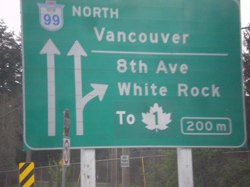
BC-99 - Exit 2
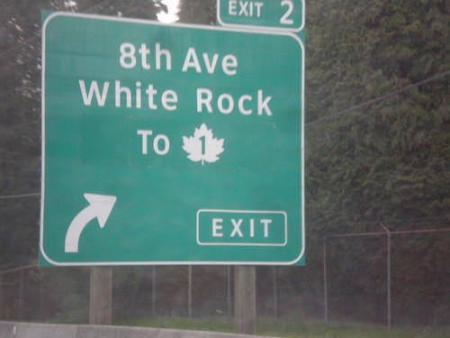
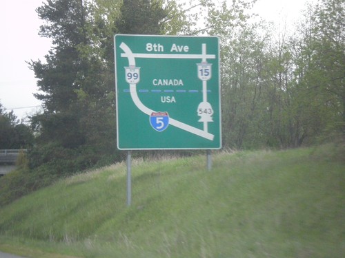
BC-99 approaching Exit 2 - 8th Ave./White Rock/To TC-1. Continue north on BC-99 to Vancouver.
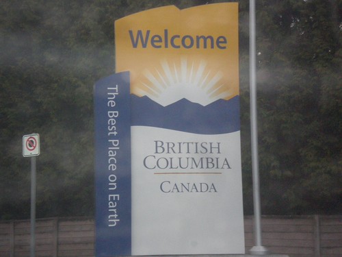
BC-99 North - Welcome to British Columbia
Welcome to British Columbia on BC-99 north. Taken just north of Canada Customs.
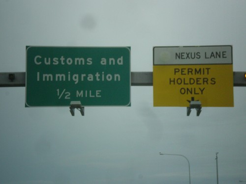
I-5 North - Customs and Immigration
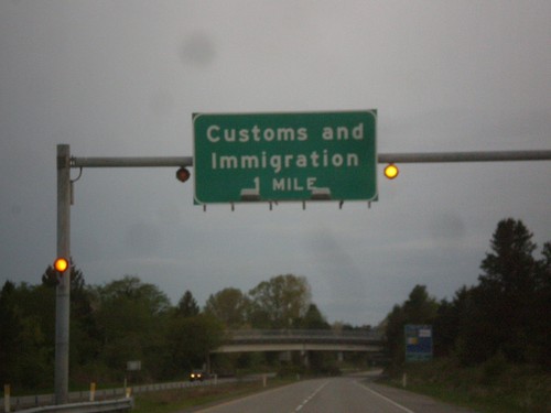
I-5 north - Customs and Immigration 1/2 mile. Use right lanes for Nexus.
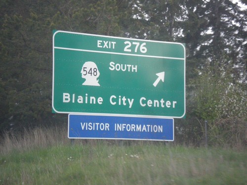
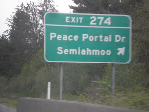
I-5 North - Exit 276
I-5 north at Exit 276 - WA-548 South/Blaine City Center. This is the last exit on I-5 northbound.
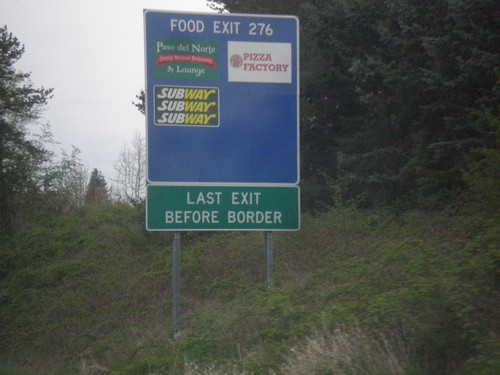
I-5 North - Exit 276 Services
Services located at I-5 Exit 276. This is the last exit before the Canadian border.
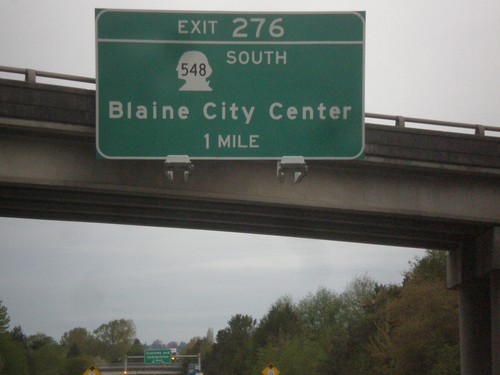
I-5 North - Exit 276
I-5 north approaching Exit 276 - WA-548 South/Blaine City Center. Exit 276 is the last exit on I-5 before the Canadian border.
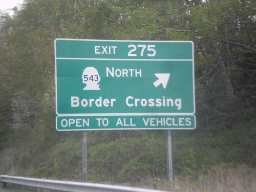
I-5 North - Exit 275
I-5 north at Exit 275 - WA-543 North/Border Crossing. WA-543 crosses the Canadian border at the Pacific Highway border crossing, which is the border crossing for commercial vehicles. Non-commercial vehicles may cross at Pacific Highway as well.
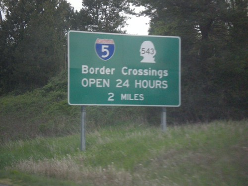
I-5 North - Border Crossing Hours
I-5/WA-543 Border Crossing Hours on I-5 north. Both I-5 (Peace Arch) and WA-543 (Pacific Highway) crossings are open 24 Hours.
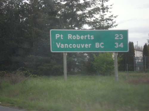
I-5 North - Distance Marker
Distance marker on I-5 north. Distance to Point Roberts and Vancouver, BC. This is the last distance marker on I-5 northbound. Point Roberts is an exclave of the United States. All traffic into Point Roberts has to go through Canada.
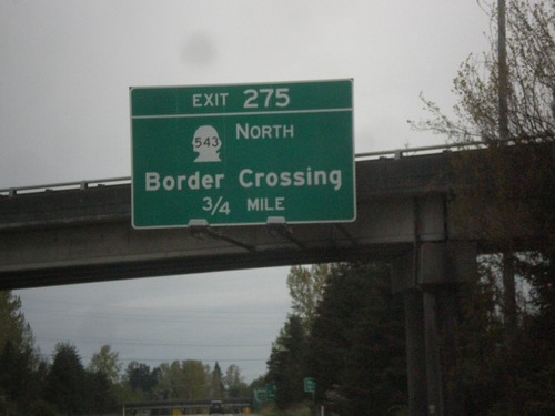
I-5 North - Exit 275
I-5 north approaching Exit 275 - WA-543 North/Border Crossing. Use WA-543 for the Pacific Highway border crossing into Canada.
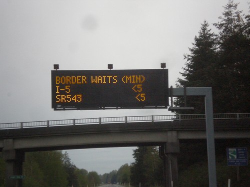
I-5 North - Border Wait Times
Border Wait Times on I-5 North. Both I-5 (Peace Arch) and WA-543 (Pacific Highway) crossing are less than 5 minutes in this photo. This was taken at 7 AM on a Saturday. As it happened there was only one car in front of me at Canada Customs.
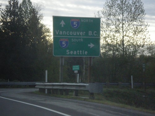
Birch Bay-Lynden Road East at I-5
Birch Bay-Lynden Road East at I-5. Use I-5 south for Seattle; use I-5 north for Vancouver, BC.
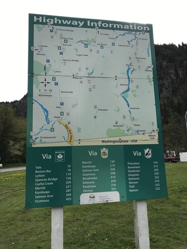
Hunter Creek Rest Area - Highway Information
Route map for the adjacent area of British Columbia, and distances to major destinations. Three routes split off into the interior of British Columbia at Hope just east of here: BC-5 to Coquihalla Pass, TC-1 through the Frasier River Canyon, and BC-3 over Allison Pass.
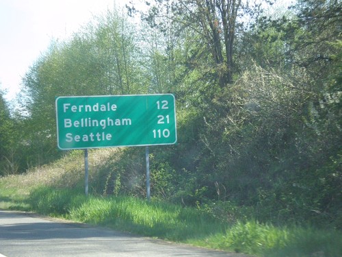
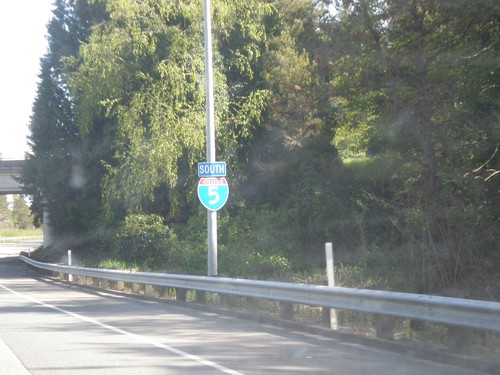
I-5 South - Distance Marker
Distance marker on I-5 south. Distance to Ferndale, Bellingham, and Seattle. This is the first exit on I-5 south of the border crossing.
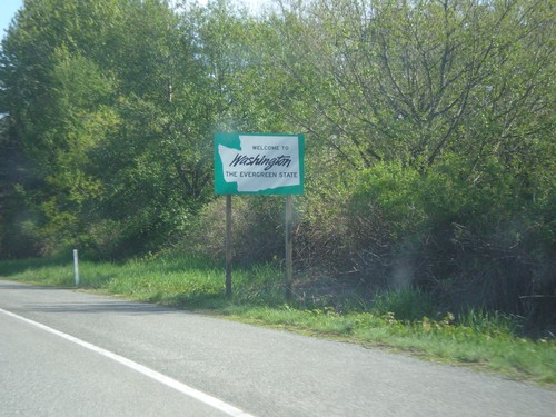
I-5 South - Welcome To Washington
Welcome to Washington on I-5 south. This sign is right after the onramps from the Exit 276 interchange.
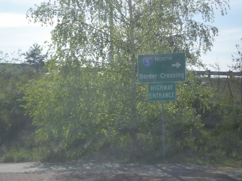
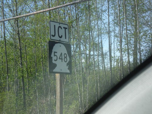
WA-548 South at I-5 North
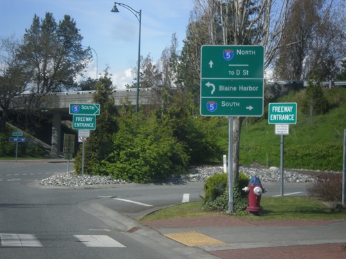
WA-548 South at I-5 North to (Peace Arch) Border Crossing. Note the Highway Entrance, instead of Freeway Entrance.
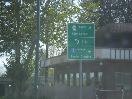
Begin WA-548 South at I-5
Begin WA-548 South at I-5. Turn right for I-5 north to (Peace Arch) Border Crossing. Continue through roundabout for D St., and WA-548 South/(Blaine)City Center.
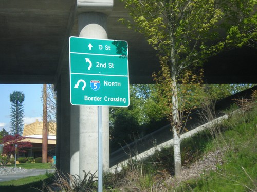
WA-548 North Approaching I-5 North Onramp
WA-548 North approaching I-5 North Onramp. Use I-5 north for (Peace Arch) Border Crossing. Continue through roundabout for 2nd St. (to Peace Arch State Park) and D St.
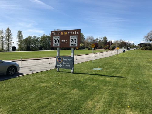
BC-99 North - Think Metric
BC-99 North at US/Canada border. Think metric - 30 km/h was 20 MPH. A smaller sign below that instructs Nexus traffic to keep right.
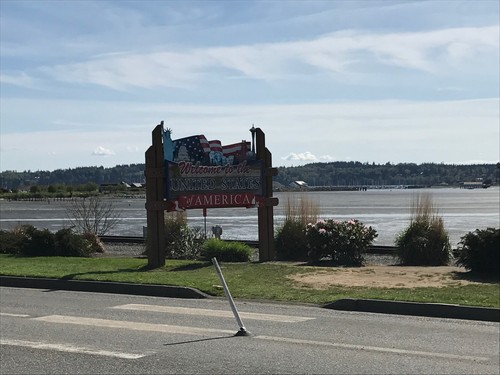
I-5 South - Welcome To The United States of America
I-5 South - Welcome To The United States of America at the US-Canada international boundary. Sign is before the Peace Arch Customs station.
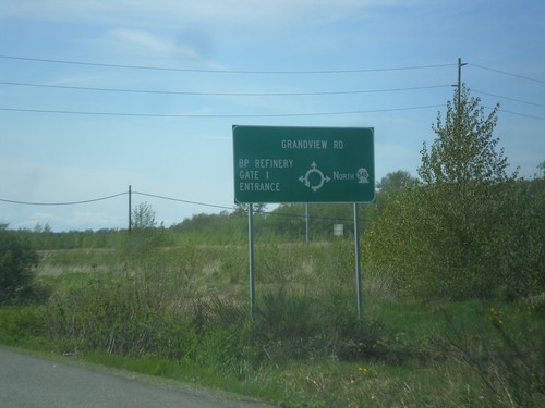
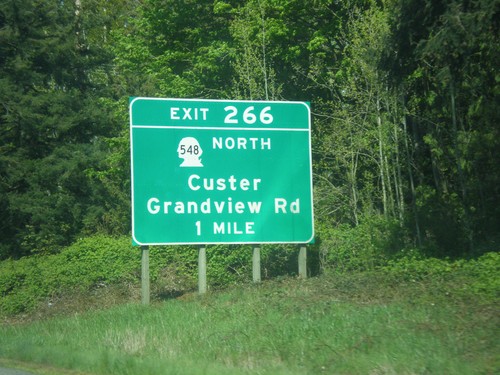
WA-548 - Grandview Road Roundabout
Roundabout on WA-548 (Grandview Road). Go north on roundabout to continue north on WA-548; west to continue on Grandview Road; north for the (Cherry Point) BP Refinery.
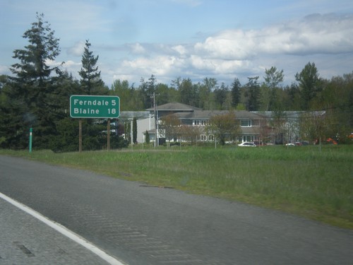
I-5 North - Distance Marker
Distance marker on I-5 north. Distance to Ferndale and Blaine. Blaine is where I-5 ends at the Canadian border.
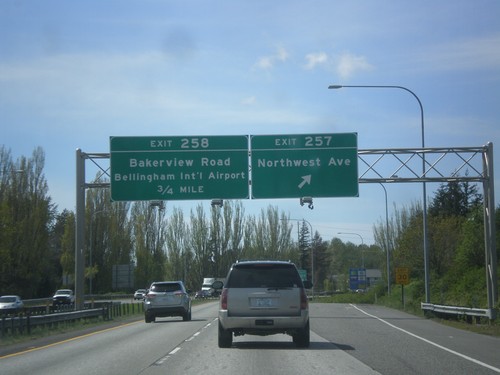
I-5 North - Exits 257 and 258
I-5 north at Exit 257 - Northwest Avenue. Approaching Exit 258 - Bakerview Road/Bellingham International Airport.
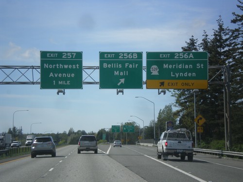
I-5 North - Exits 256A, 256B, and 257
I-5 north at Exit 256A - WA-539 North/Meridian St./Lynden. Also at Exit 256B - Bellis Fair Mall. Approaching Exit 257 - Northwest Ave.
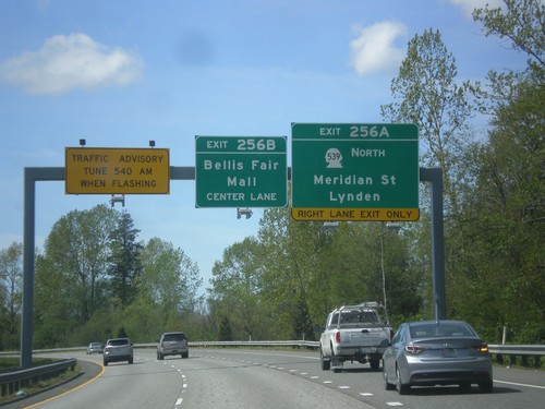
I-5 North - Exits 256A and 256B
I-5 north approaching Exit 256A - WA-539 North/Meridian St./Lynden. Approaching Exit 256B - Bellis Fair Mall.
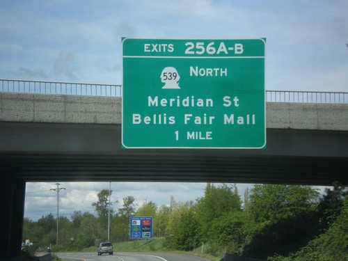
I-5 North - Exits 256A-B
I-5 north approaching Exits 256A-B - WA-539 North/Meridian St./Bellis Fair Mall. WA-539 leads to two of the border crossings into Canada in Whatcom County.
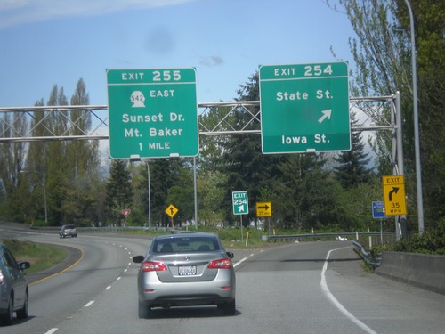
I-5 North - Exits 254 and 255
I-5 north at Exit 254 - State St./Iowa St. Approaching Exit 255 - WA-542 East/Sunset Drive/Mount Baker.
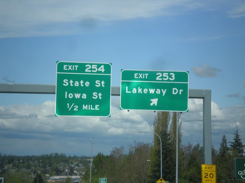
I-5 North - Exits 253 and 254
I-5 north at Exit 253 - Lakeway Drive. Approaching Exit 254 - State St./Iowa St.
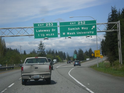
I-5 North - Exits 252 and 253
I-5 north at Exit 252 - Samish Way/Wester Washington University. Approaching Exit 253 - Lakeway Drive.
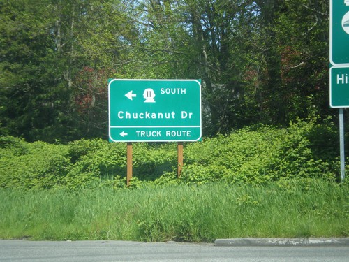
I-5 North - Exit 250 Offramp at WA-11
I-5 North - Exit 250 Offramp at WA-11. Use WA-11 South to Chuckanut Drive and the truck route.
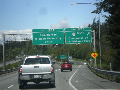
I-5 North - Exits 250 and 252
I-5 north at Exit 250 - WA-11 South/Chuckanut Drive/Old Fairhaven Parkway. Approaching Exit 252 - Samish Way/Western Washington University.
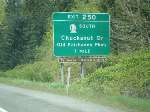
I-5 North - Exit 250
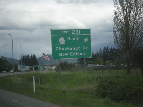
I-5 north approaching Exit 250 - WA-11 South/Chuckanut Drive/Old Fairhaven Parkway.
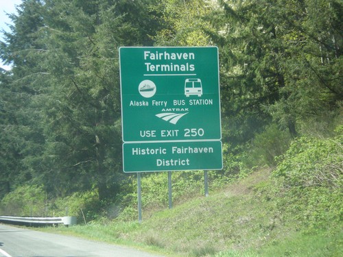
I-5 North - Fairhaven Terminals
Fairhaven Terminals Information sign on I-5 North. Use Exit 250 for the Alaska Ferry, Amtrak, and the bus station.
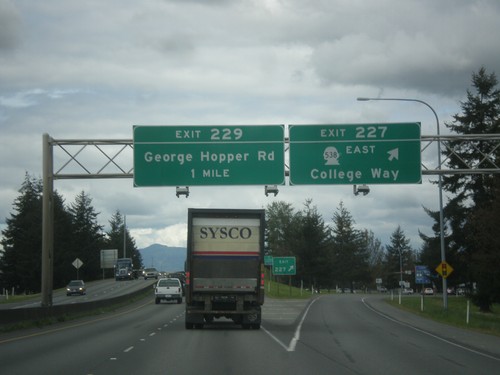
I-5 North - Exits 227 and 229
I-5 north at Exit 227 - WA-538 East/College Way. Approaching Exit 229 - George Hopper Rd.
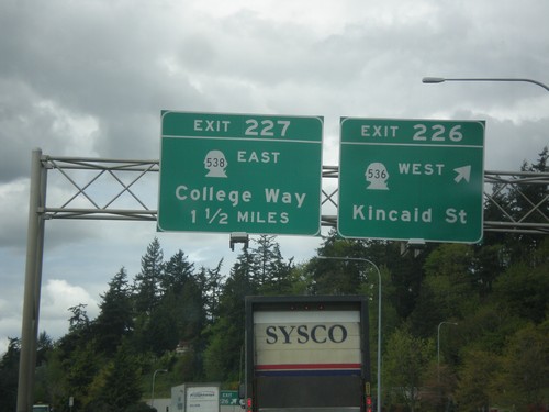
I-5 North - Exits 226 and 227
I-5 North at Exit 226 - WA-536 West/Kincaid St. Approaching Exit 227 - WA-538 East/College Way.
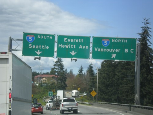
End US-2 West at I-5
End US-2 West at I-5 in Everett. Use I-5 north to Vancouver BC and I-5 south to Seattle. Continue straight for Everett/Hewitt Ave.
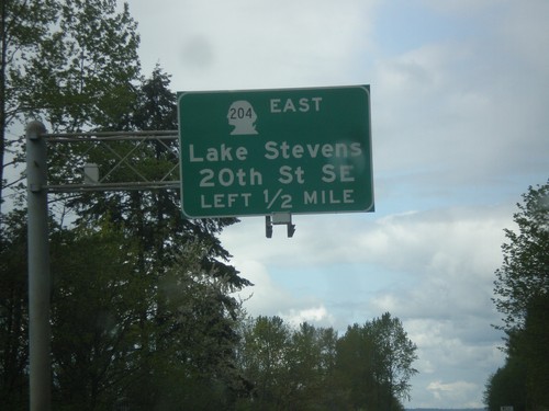
US-2 West - WA-204 East Interchange
US-2 West approaching WA-204 East/Lake Stevens/20th St SE interchange.
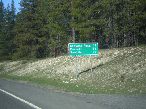
US-2 West - Distance Marker
Distance marker on US-2 west. Distance to Stevens Pass, Everett, and Seattle.
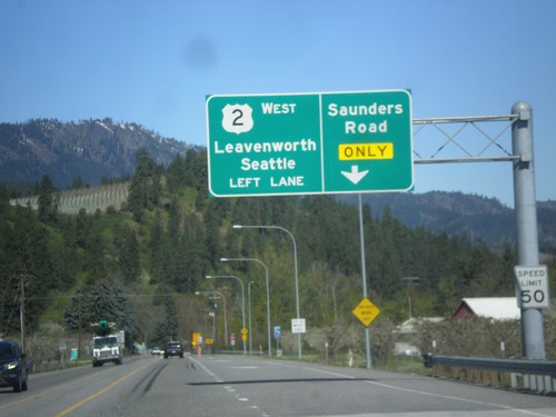
US-2 West Approaching Saunders Road
US-2 west approaching Saunders Road. Use right lane for Saunders Road. Continue west on US-2 for Leavenworth and Seattle.
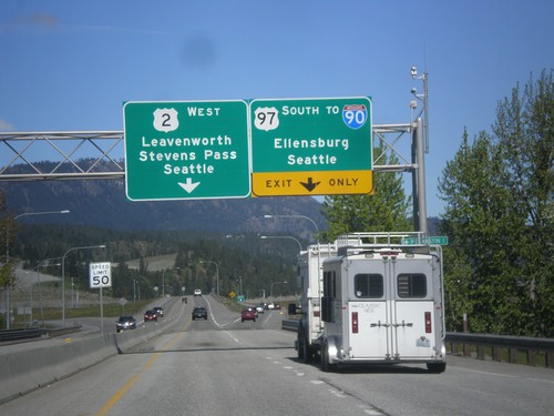
US-2 West/US-97 South Approaching US-2/US-97 Split
US-2 West/US-97 South approaching US-2/US-97 split. Use US-97 South to I-90/Ellensburg/Seattle (via Snoqualmie Pass). Use US-2 West to Leavenworth, Stevens Pass and Seattle (via Stevens Pass).
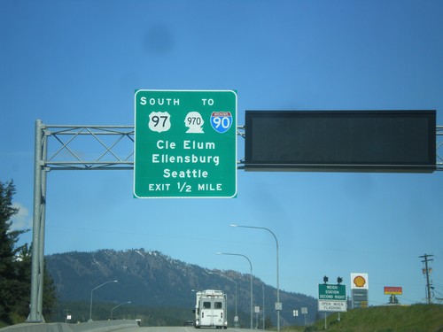
US-2 West/US-97 South Approaching US-2/US-97 Split
US-2 West/US-97 South Approaching US-2/US-97 Split. Use US-97 south for WA-970/I-90 to Cle Elum, Ellensburg, and Seattle.
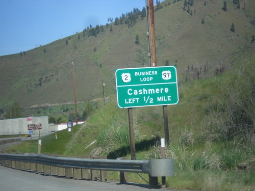
US-2 West/US-97 South - Bus. US-2/US-97
US-2 West/US-97 South - Bus. US-2/US-97 Junction to Cashmere.
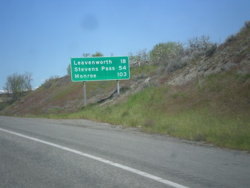
US-2 West/US-97 South - Distance Marker
Distance Marker on US-2 West/US-97 South. Distance to Leavenworth, Stevens Pass, and Monroe.
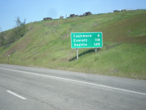
US-2 West/US-97 South - Distance Marker
Distance Marker on US-2 West/US-97 South. Distance to Cashmere, Everett, and Seattle.
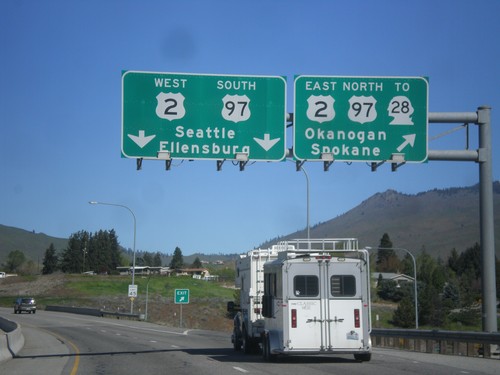
End WA-285 North at US-2/US-97/To WA-28
End WA-285 North at US-2/US-97/To WA-28. Use US-2 East/US-97 North/To WA-28 for Okanogan and Spokane. Use US-2 West/US-97 South for Seattle and Ellensburg.
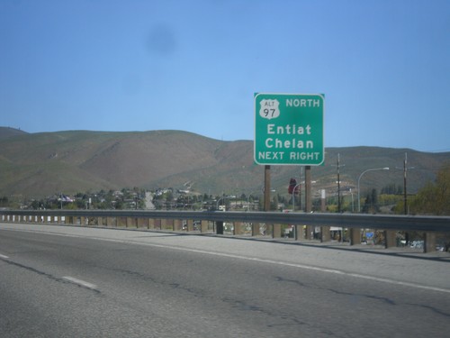
WA-285 North Approaching US-2/US-97 Jct.
WA-285 North Approaching US-2/US-97 Jct. Use right lane for access to Alt. US-97 to Chelan and Entiat.
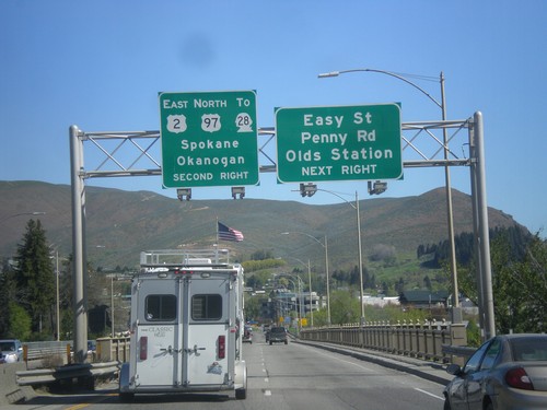
WA-285 North Approaching US-2/US-97/To WA-28
WA-285 North approaching US-2 East/US-97 North/To WA-28 to Spokane and Seattle. Also approaching Easy St., Penny Road, and Olds Station junction in Wenatchee.
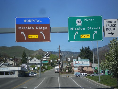
WA-285 North - Mission St. Jct.
WA-285 North (Stevens St.) at Mission St. junction. Turn right to continue north on WA-285. Turn left for Mission Ridge (Ski Area) and the hospital.
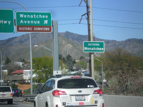
WA-285 North at Wenatchee Ave. interchange
WA-285 North at Wenatchee Ave./Historic Downtown interchange. Entering Wenatchee.
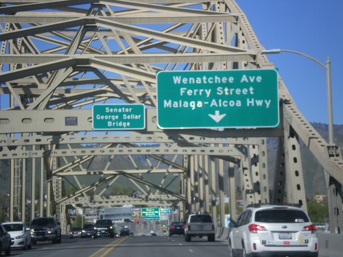
WA-285 North - Senator George Sellar Bridge
WA-285 North on the Senator George Sellar Bridge over the Columbia River. Approaching Wenatchee Ave./Ferry St./Malaga-Alcoa Highway.
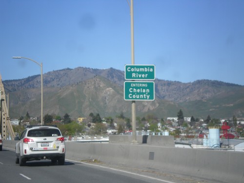
WA-285 North - Chelan County
Entering Chelan County on the Columbia River bridge on WA-285 north. Also entering Wenatchee, the county seat of Chelan County.
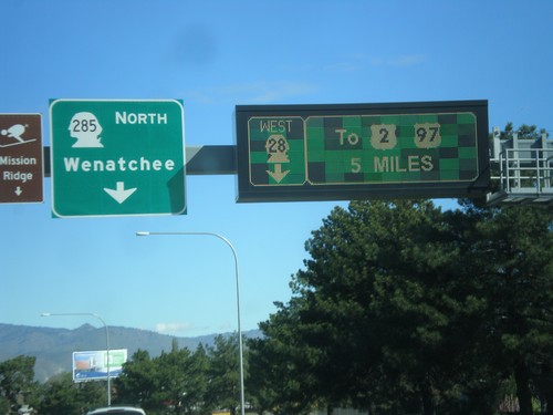
WA-28 West at WA-285 - East Wenatchee
WA-28 West at WA-285 in East Wenatchee. Turn left for WA-285 North to Wenatchee. Continue west on WA-28 to US-2 and US-97. The signs directing traffic on WA-28 are an electronic sign.
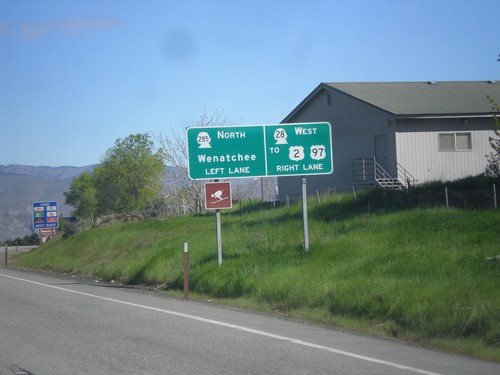
WA-28 West approaching WA-285
WA-28 West approaching WA-285 in East Wenatchee. Turn left for WA-285. Continue straight for WA-28 to US-2 and US-97.
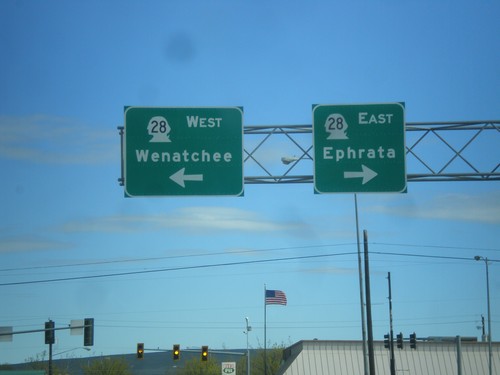
End WA-281 North at WA-28
End WA-281 North at WA-28 in Quincy. Use WA-28 west for Wenatchee; WA-28 east for Ephrata.
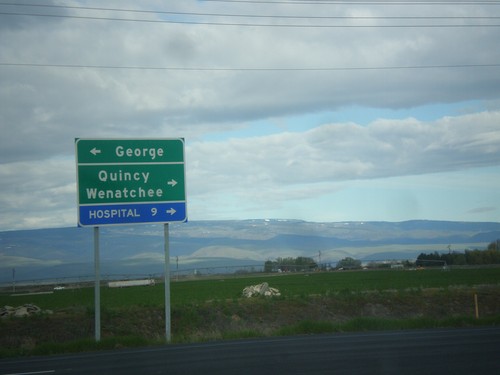
End WA-281 Spur North at WA-281
End WA-281 Spur North at WA-281. Use WA-281 north for Quincy and Wenatchee. Use WA-281 south for George.
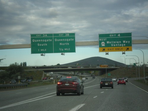
I-182/US-12/WA-240 West - Exits 4, 3A, and 3B
I-182/US-12/WA-240 West at Exit 4 - WA-240 West/Wellsian Way/Vantage. Approaching Exit 3B - Queensgate North and Exit 3A - Queensgate South. WA-240 West leaves the I-182/US-12 freeway here.
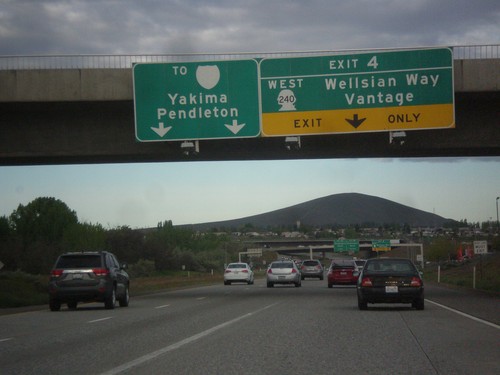
I-182/US-12/WA-240 West - Exit 4
I-182/US-12/WA-240 West approaching Exit 4 - WA-240 West/Wellsian Way/Vantage. Continue west on I-182 for I-82 to Yakima and Pendleton (Oregon).
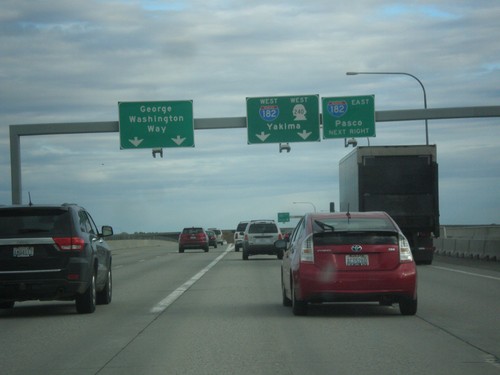
WA-240 West at I-182 and George Washington Way
WA-240 West at I-182 and George Washington Way in Richland. Use right lane for I-182 East to Richland; and I-182 West/WA-240 West to Yakima. Continue straight for George Washington Way.
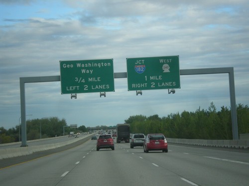
WA-240 West Approaching I-182 and George Washington Way
WA-240 West Approaching I-182 and George Washington Way in Richland. Use right lanes for I-182 and to continue west on WA-240. WA-240 joins I-182 west briefly.
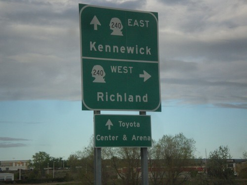
Columbia Center Blvd. North at WA-240
Columbia Center Blvd. North at WA-240. Use WA-240 west to Richland; WA-240 east to Kennewick.
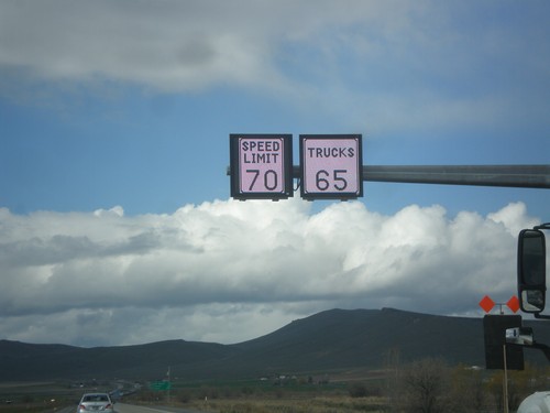
I-84 West - Variable Speed Limits
Variable Speed Limit sign on I-84 West, just outside of Baker City. The stretch of I-84 between Baker City and Ladd Canyon converted to variable speed limits in 2016.
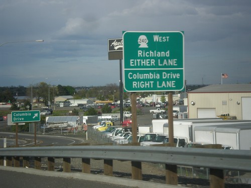
US-395 North on WA-240 Offramp
US-395 on WA-240 offramp approaching roundabout. Use right lane for Columbia Drive. Use any lane for WA-240 west to Richland.
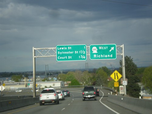
US-395 North at WA-240 West
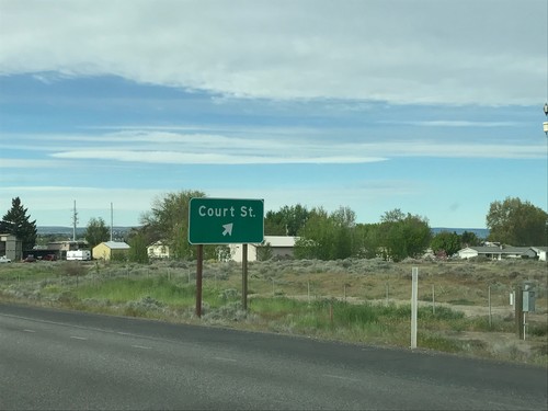
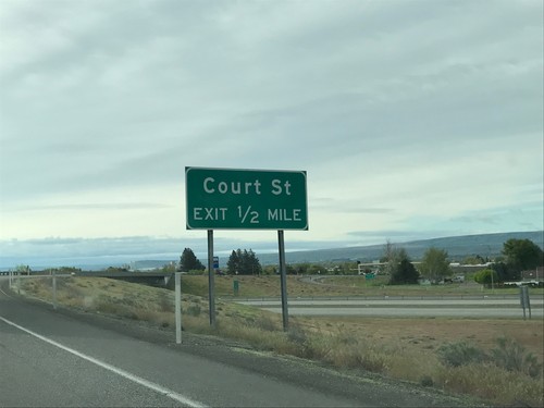
US-395 North at WA-240 West to Richland. Continue north on US-395 for Pasco. The next three exits are Lewis St., Sylvester St., and Court St. (all in Pasco).
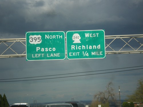
US-395 North Approaching WA-240
US-395 North Approaching WA-240 West to Richland. Continue north on US-395 for Pasco.
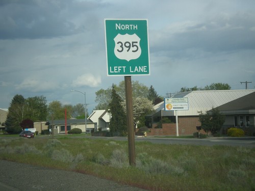
US-395 North - Kennewick
US-395 north Kennewick near beginning of freeway. Use left lane to continue north on US-395.
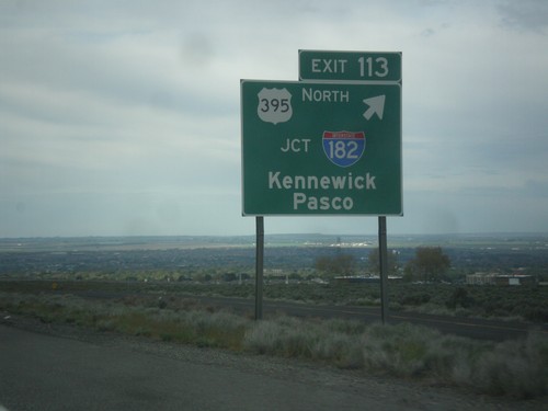
I-82 West - Exit 113
I-82 west at Exit 113 - US-395 North/Jct I-182/Kennewick/Pasco. US-395 leaves I-82 westbound.
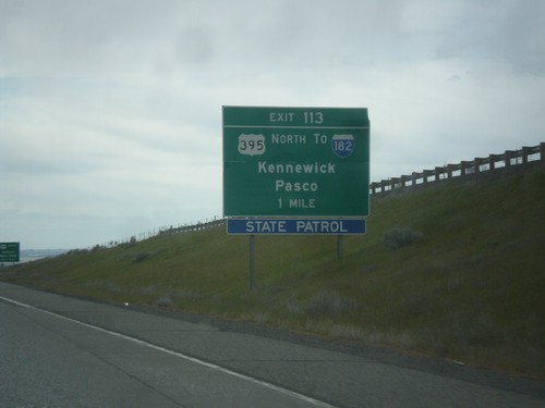
I-82 West - Exit 113
I-82 west approaching Exit 113 - US-395 North/To I-182/Kennewick/Pasco. US-395 leaves I-82 westbound here.
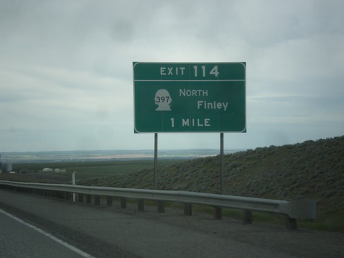
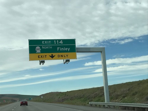
I-82 West - Exit 114
I-82 west approaching Exit 114 - WA-397 North/Finley. This exit was formerly called Locust Grove Road.
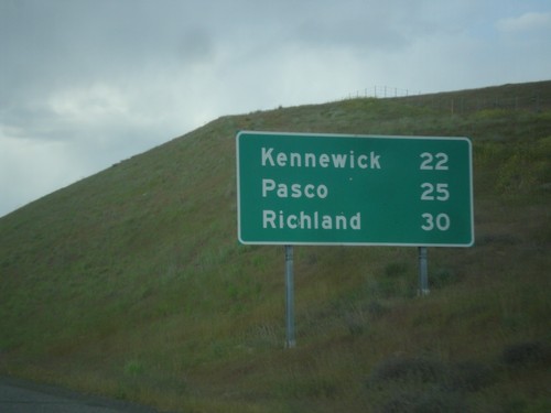
I-82 West - Distance Marker
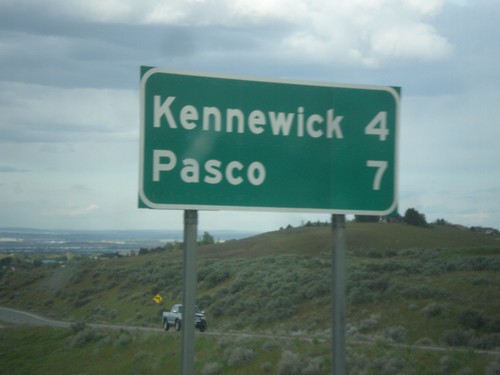
Distance marker on I-82 west. Distance to Kennewick, Pasco, and Richland (the Tri-Cities). This is the first distance marker on I-82 westbound in Washington.
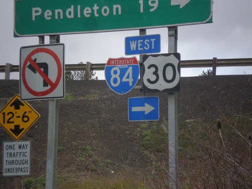
I-84 - Exit 228 Onramp
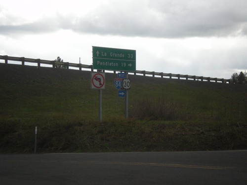
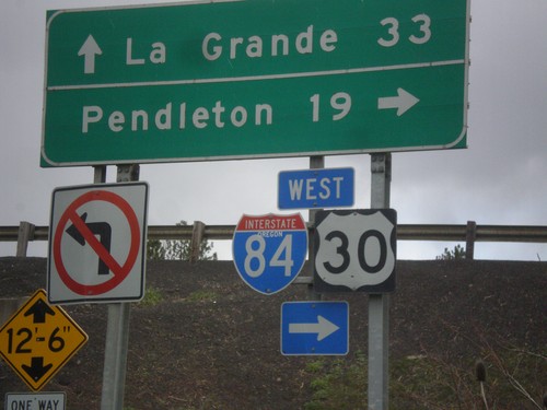
I-84 - Exit 228 onramp. Use I-84 west to Pendleton; I-84 east to La Grande. The I-84 shield has the text OREGON in it, although it does not fit well with the rest of the font. This is the first time in the last 20 years I have lived in the northwest that I have seen an interstate shield with the text OREGON in it.
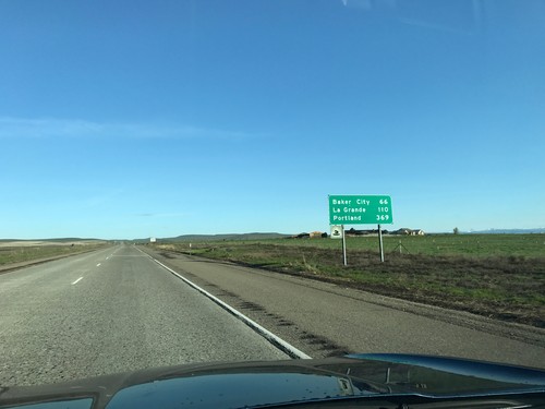
I-84 West - Distance Marker
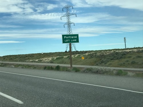
Distance marker on I-84 west. Distance to Baker City, La Grande, and Portland.
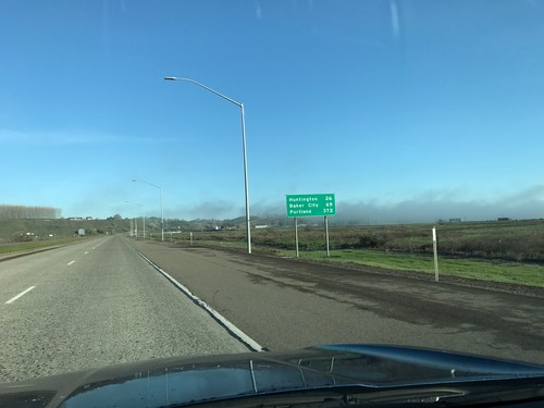
I-84 West - Distance Marker
Distance marker on I-84 west. Distance to Huntington, Baker City, and Portland.
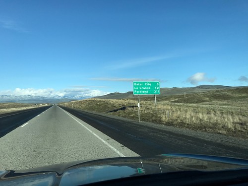
I-84 West - Distance Marker
Distance marker on I-84 west. Distance to Baker City, La Grande, and Portland.
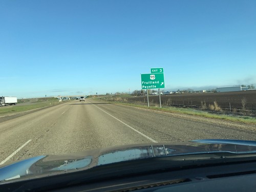
I-84 West - Exit 3
I-84 west at Exit 3 - US-95/Fruitland/Payette. This is the last exit on I-84 westbound in Idaho.
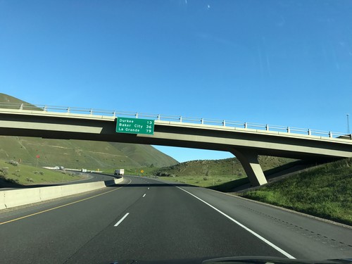
I-84 West - Distance Marker
Distance marker on I-84 west. Distance to Durkee, Baker City, and La Grande.
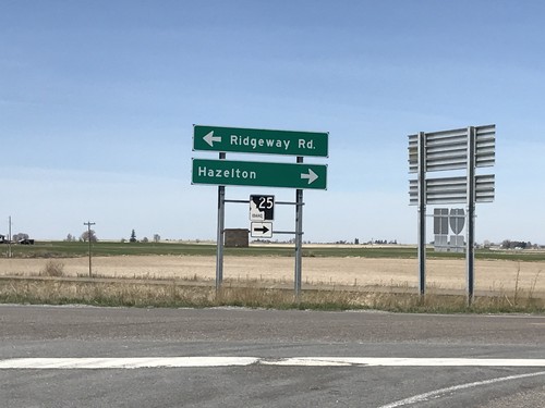
I-84 West - Exit 194 Offramp at ID-25
I-84 - Exit 194 Offramp at ID-25. Turn right to continue west on ID-25 towards Hazleton. Turn left for Ridgeway Road. ID-25 east joins I-84 eastbound to Kasota Road.
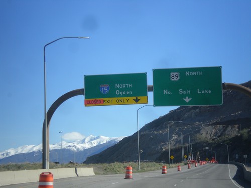
US-89 North at I-15 North Onramp to Ogden
US-89 North at I-15 North Onramp to Ogden. Continue north on US-89 for North Salt Lake. US-89 parallels I-15 north to Brigham City. US-89 briefly joins I-15 between Woods Cross and Farmington.
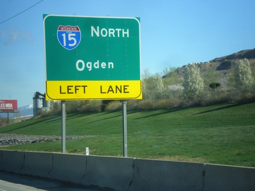
US-89 North Approaching I-15 North
US-89 North Approaching I-15 North to Ogden. Notice the UTAH in the I-15 shield. Utah has been signing all new interstate shields with the state name since around 2014.
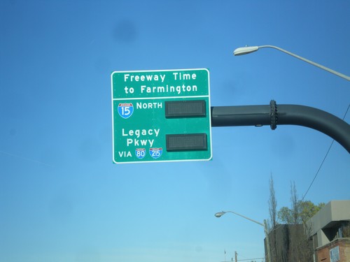
US-89 North (400 South) - I-15 North Travel Times
US-89 North (400 South) in Salt Lake City. Freeway Travel Times to Farmington via Legacy Parkway (via I-80/I-215) or via I-15. This was taken on Saturday morning and there were no times displayed.
