Signs From July 2017
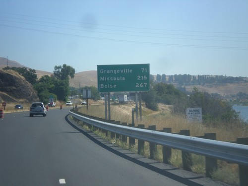
US-12 East/US-95 South - Distance Marker
Distance marker on US-95 South/US-12 East to Grangeville, Missoula (MT - via US-12), and Boise.
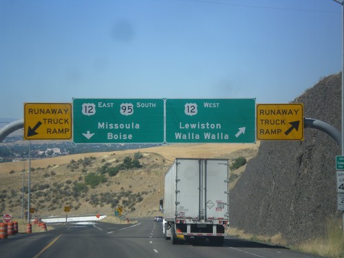
US-95 South at US-12
US-95 south at US-12 junction. Merge right for US-12 West/Lewiston/Walla Walla (Washington). Use left lane for US-95 South/US-12 East/Missoula (Montana)/Boise. Use either lane for access to Runaway Truck Ramps.
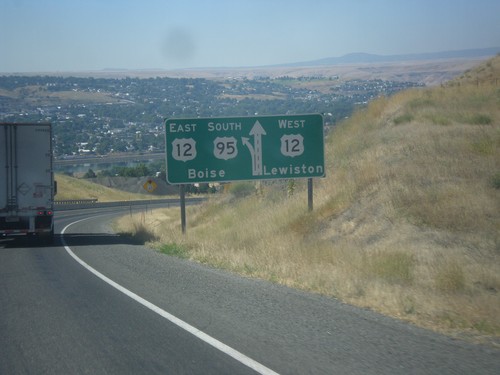
US-95 South Approaching US-12
US-95 south approaching US-12. Use right lane for US-12 west to Lewiston; left lane for US-95 South/US-12 East to Boise.
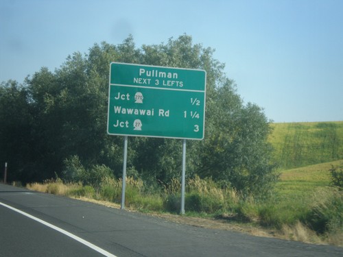
US-195 South - Pullman Access
US-195 South - Pullman. Use next three lefts for access to Pullman. WA-270 West, Wawawai Road, and WA-27 North.
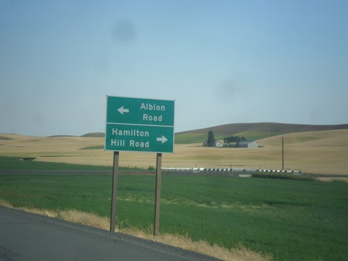
US-195 South - Albion Road/Hamilton Hill Road
US-195 South at Albion Road/Hamilton Hill Road interchange.
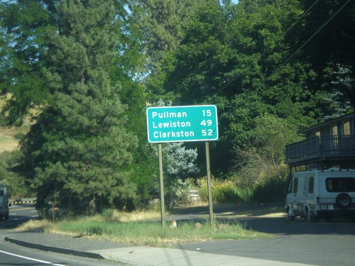
US-195 South - Distance Marker
Distance marker on US-195 south. Distance to Pullman, Lewiston (Idaho), and Clarkston.
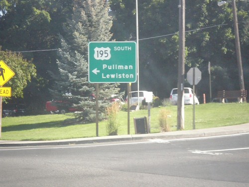
US-195 South - Colfax
US-195 south (Main St.) at James St. Southbound traffic veer left on James St. towards Pullman and Lewiston (Idaho).
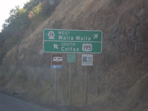
US-195 South at WA-26 West
US-195 south at WA-26 West to Walla Walla. Continue south on US-195 south for Colfax.
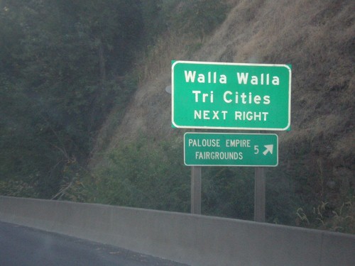
US-195 South Approaching WA-26
US-195 south approaching WA-26 west. Use WA-26 for Walla Walla and the Tri Cities. Also use WA-26 for the Palouse Empire Fairgrounds.
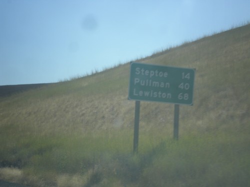
US-195 South - Distance Marker
Distance marker on US-195 South. Distance to Steptoe, Pullman, and Lewiston (Idaho).
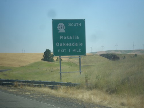
US-195 South Approaching WA-271 Interchange
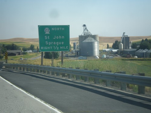
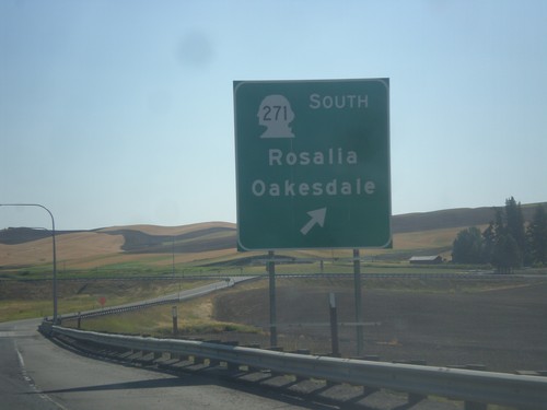
US-195 South approaching WA-271/Oakesdale/Rosalia interchange.
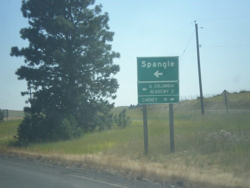
US-195 South - Spangle
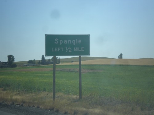
US-195 South at Spangle junction. Turn left for Spangle and Upper Columbia Academy. Turn right to Cheney.
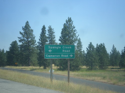
US-195 South - Spangle Creek Road/Cameron Road Jct.
US-195 South at Spangle Creek Road/Cameron Road near Spangle.
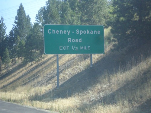
US-195 South Approaching Cheney-Spokane Road Interchange
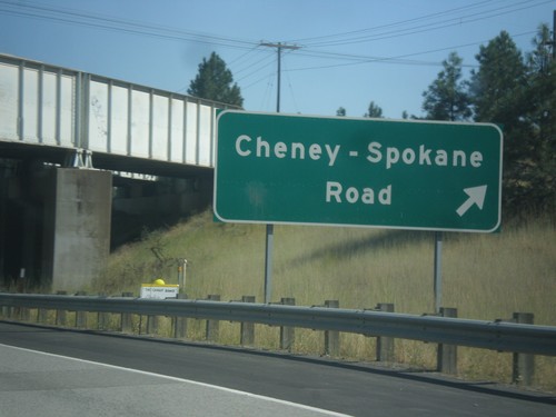
US-195 South approaching Cheney-Spokane Road interchange.
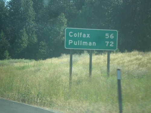
US-195 South - Distance Marker
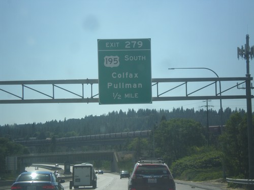
Distance marker on US-195 south. First distance marker on US-195 southbound. Distance to Colfax and Pullman.
US-195 South - Spokane
First US-195 shield on US-195 southbound. Taken just south of I-90 in Spokane.
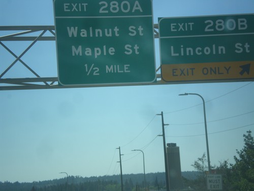
I-90 West - Exits 280B and 280A
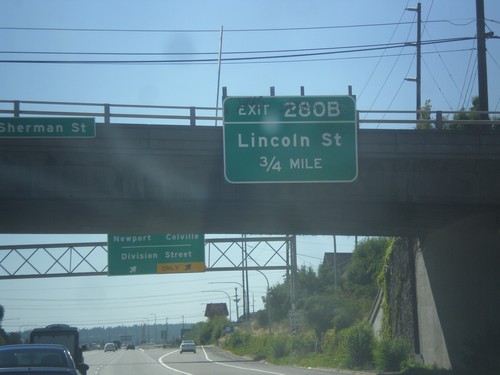
I-90 west at Exit 280B - Lincoln St. Approaching Exit 280A - Maple St./Walnut St.
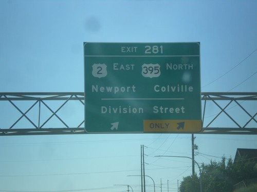
I-90 West - Exit 281
I-90 west at Exit 281 - US-2/Newport/US-395 North/Colville/Division St.. US-395 joins I-90 west to Ritzville. US-2 joins I-90 west through Spokane.
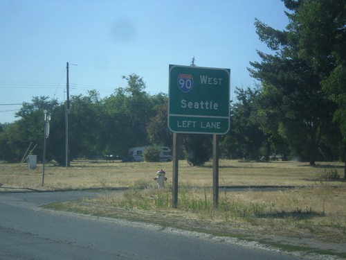
E 2nd Ave. Approaching I-90 West
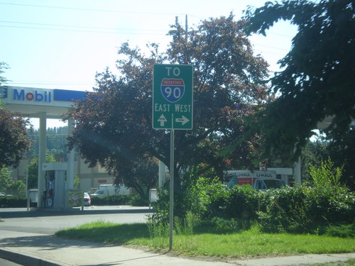
E 2nd Ave. approaching I-90 West. Use left lane for I-90 West/Seattle.
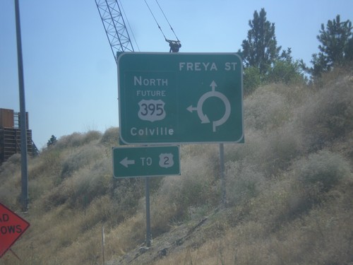
Freya St. South at Future US-395 North
Freya St. South at Future US-395 North. Use Future US-395 north for Colville and US-2.
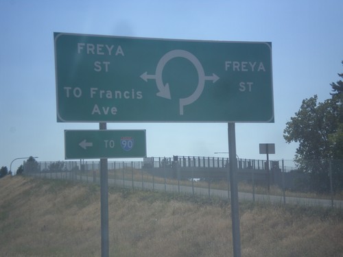
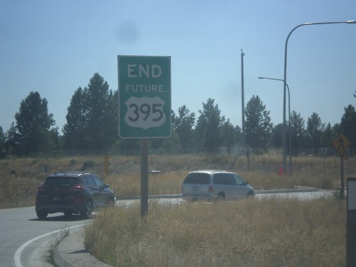
End Future US-395 South Approaching Freya St.
End Future US-395 South approaching Freya St. roundabout.
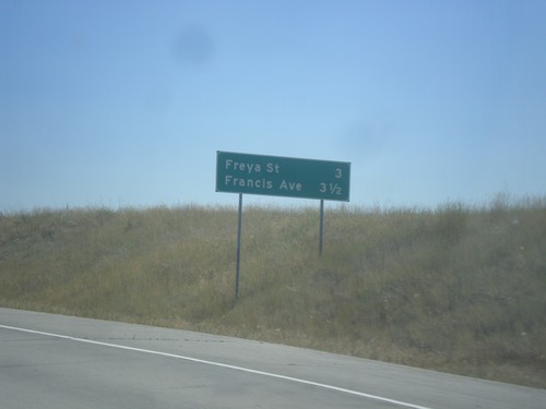
Future US-395 South - Distance Marker
Distance marker on Future US-395 south. Distance to Freya St. and Francis Ave.
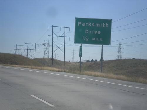
Future US-395 South - Parksmith Drive IC
Future US-395 south approaching the Parksmith Drive interchange.
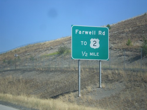
Future US-395 South - Farwell Road IC
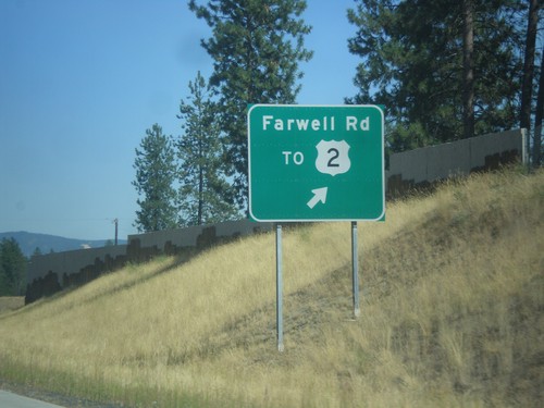
Future US-395 South approaching Farwell Road/To US-2 interchange.
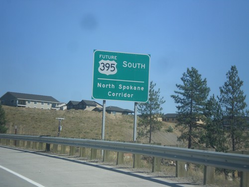
Future US-395 South - North Spokane Corridor
Future US-395 South - North Spokane Corridor. The current alignment of US-395 will be along Division St. until the completion of the North Spokane Corridor.
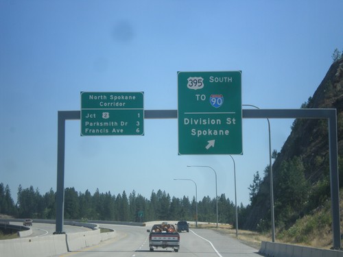
US-395 South at North Spokane Corridor
US-395 South at North Spokane Corridor. Use left lane to continue south on the freeway along the North Spokane Corridor. Use the right lane for the US-395 South/To I-90/Division St./Spokane interchange. The next three exits on the North Spokane Corridor (Future US-395) are US-2, Parksmith Drive, and Francis Ave.
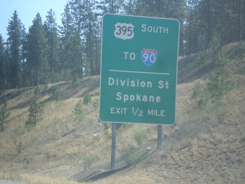
US-395 South - Division St. Interchange
US-395 South approaching US-395 South/To I-90/Division St./Spokane interchange. US-395 leaves the freeway southbound here. When the North Spokane Corridor is connected to I-90, US-395 will be rerouted away from Division St. onto the new freeway.
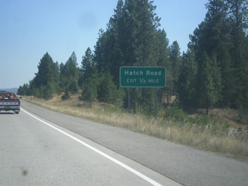
US-395 South - Hatch Road IC
US-395 south approaching Hatch Road interchange. This is the northern end of the new North Spokane Corridor, a freeway which will eventually have a direct connection to I-90.
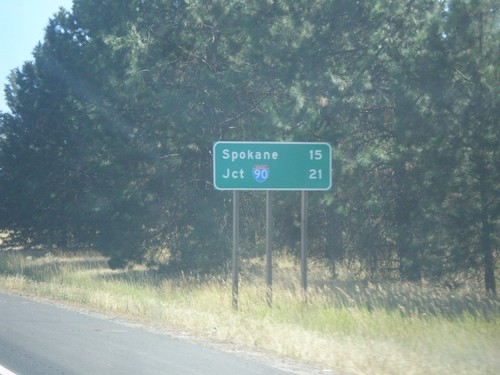
US-395 South - Distance Marker
Distance marker on US-395 south leaving Deer Park. Distance to Spokane and I-90.
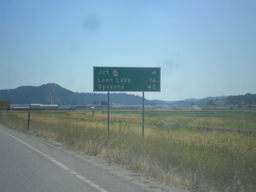
US-395 South - Distance Marker
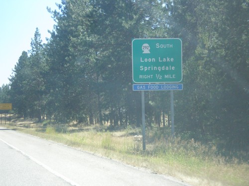
Distance marker on US-395 south leaving Chewelah. Distance to Jct. WA-231, Loon Lake, and Spokane.
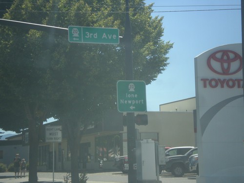
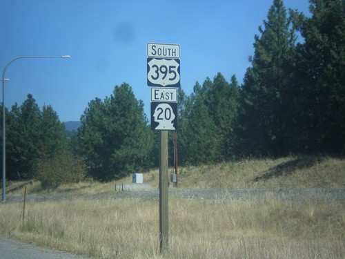
US-395 South/WA-20 East at US-395/WA-20 Split
US-395 South/WA-20 East at US-395/WA-20 Split in Colville. Turn left for WA-20 East (3rd Ave.) to Ione and Newport.
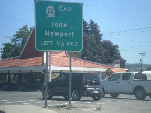
US-395 South/WA-20 East Approaching US-395/WA-20 Split
US-395 South/WA-20 East approaching US-395/WA-20 split. Use WA-20 East for Newport and Ione.
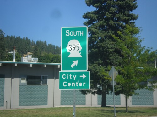
US-395 South/WA-20 East - Railroad St. Roundabout
US-395 South/WA-20 East - Railroad St. Roundabout in Colville. Merge right for Railroad St. south to (Colville) City Center. Merge left to continue on US-395 south, which is incorrectly signed as WA-395.
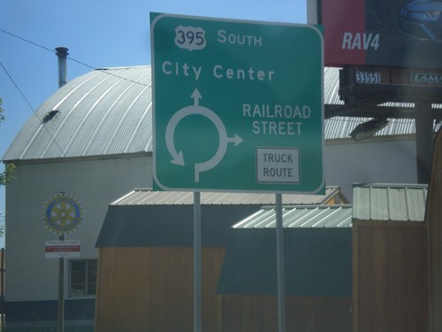
US-395 South/WA-20 East - Railroad Street Roundabout
US-395 South/WA-20 East at Railroad Street Roundabout in Colville.
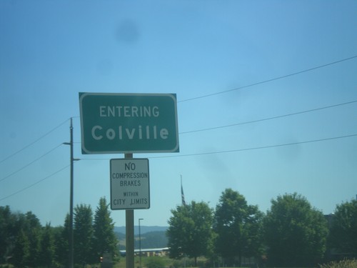
US-395 South/WA-20 East - Entering Colville
Entering Colville on US-395 South/WA-20 East. Colville is the county seat of Stevens County.
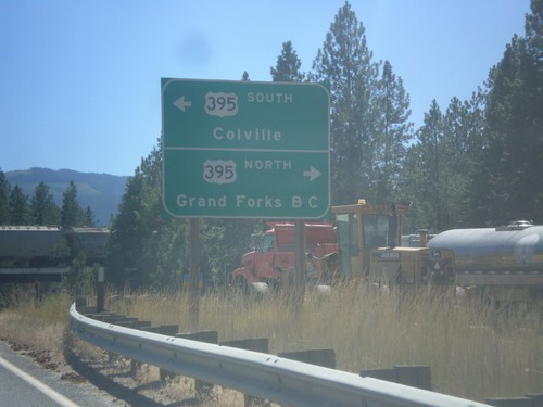
WA-25 South at US-395/WA-20
WA-25 South at US-395/WA-20 near Kettle Falls. Turn right for US-395 North/(WA-20 West) to Grand Forks, BC (Canada). Turn left for US-395 South/(WA-20 East) to Colville.
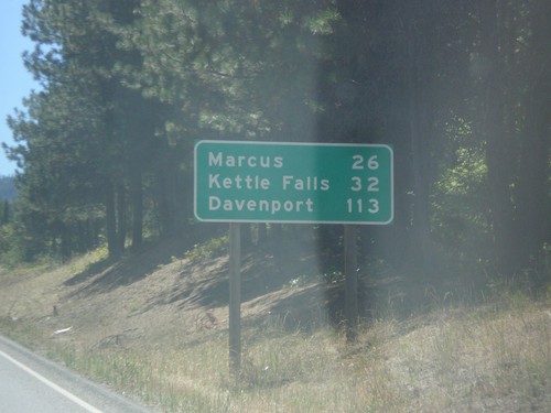
WA-25 South - Distance Marker
Distance maker on WA-25 south. Distance to Marcus, Kettle Falls, and Davenport. This is the first distance marker on WA-25 south of the US-Canada border.
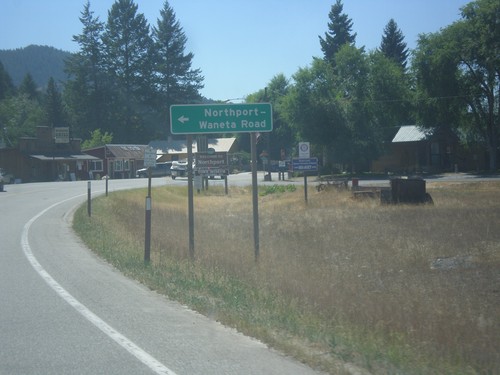
WA-25 South - Northport-Waneta Road
WA-25 South at Northport-Waneta Road. Use Northport-Waneta Road for access to Canada at the Port of Waneta.
WA-25 South - Welcome to Washington
Welcome to Washington on WA-25 south. Taken just south of the Port of Frontier border inspection facility.
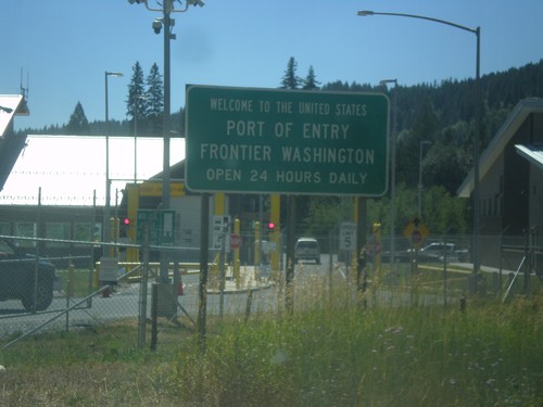
WA-25 South - Welcome To The United States
Welcome To The United States on WA-25 South. Port of Entry at Frontier Washington. Open 24 hours a day. The border facility is in the background.
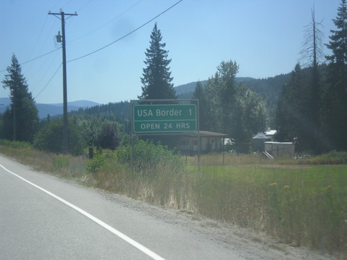
BC-22 South - Distance Marker
Distance Marker on BC-22 South. Distance to USA Border - 1 km. Border crossing at Port of Frontier is open 24 hours.
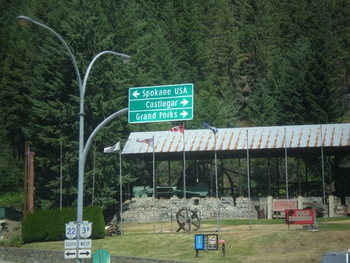
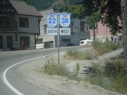
BC-22 South/BC-3B West at BC-22/BC-3B Split
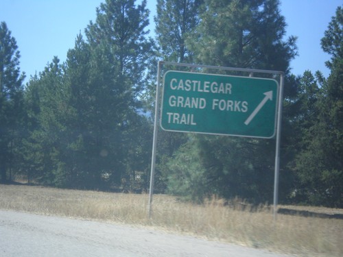
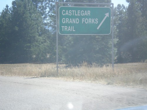
BC-22 South/BC-3B West at BC-22/BC-3B split. Turn right for BC-3B West to Grand Forks and Castlegar. Turn left for BC-22 South to Spokane USA.
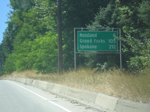
BC-22 South/BC-3B West - Distance Marker
Distance Marker on BC-22 South/BC-3B West. Distance to Rossland, Grand Forks (via BC-3B), and Spokane (Washington, via BC-22).
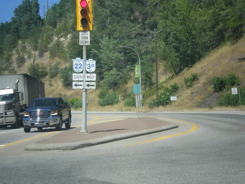
BC-3B West at BC-22 - Trail
BC-3B West at BC-22 in Trail. Turn left for BC-3B West/BC-22 South. Continue straight for BC-22 North. BC-3B west joins BC-22 south to Rossland.
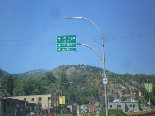
BC-3B West at BC-22 - Trail
BC-3B West at BC-22 in Trail. Use BC-22 north to Castlegar and Nelson. Use BC-22 South/BC-3B West to Warfield and Rossland.
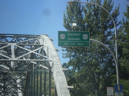
BC-3B West Approaching BC-22
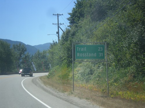
BC-3B West approaching BC-22 in Trail. Use BC-3B West/BC-22 South for Rossland and Spokane (Washington). Bridge in background of photo is the Columbia River bridge in Trail.
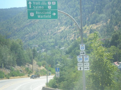
BC-22 South at BC-3B - Trail
BC-22 South at BC-3B in Trail. Turn right for BC-22 South/BC-3A West to Rossland/Warfield. Continue straight for BC-3B to BC-22A/BC-3/Trail City Centre/Salmo. BC-3B West joins BC-22A South to Rossland.
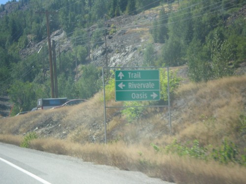
BC-22 South - Rivervale/Oasis Jct.
BC-22 South at Rivervale/Oasis Jct. Continue south on BC-22 for Trail.
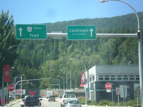
BC-3 West - BC-22 Offramp at 6th Ave.
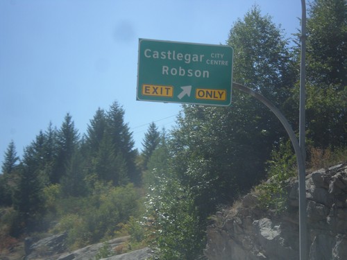
BC-3 West - BC-22 Offramp at 6th Ave. in Castlegar. Continue ahead for BC-22 south/Trail and Castlegar City Centre.
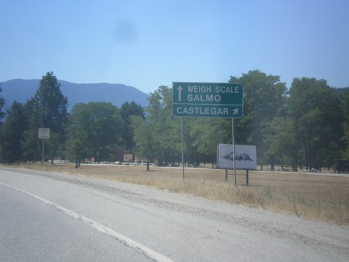
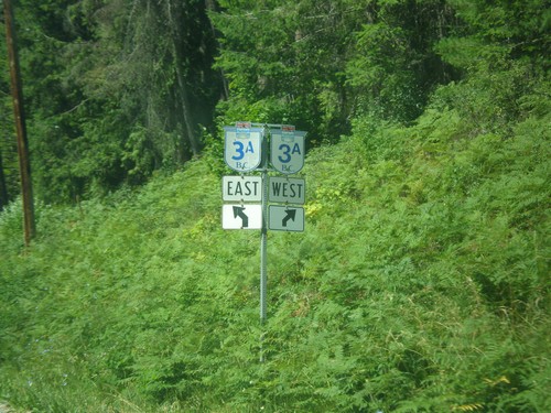
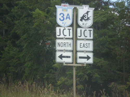
BC-3A West approaching BC-3
BC-3A West approaching BC-3. Use right lane for BC-3 West/Castlegar. Use left lane for BC-3 East/Weigh Station/Salmo.
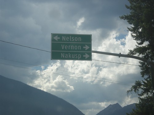
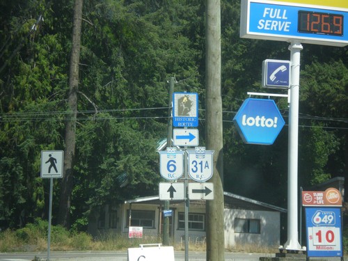
End BC-31A at BC-6
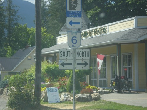
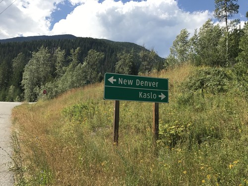
End BC-31A at BC-6 in New Denver. Use BC-6 north for Nakusp and Vernon; BC-6 south for Nelson.
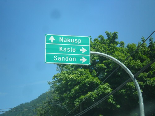
BC-6 North at BC-31A - New Denver
BC-6 North at BC-31A in New Denver. Use BC-6 north for Nakusp. Use BC-31A East to Sandon and Kaslo.
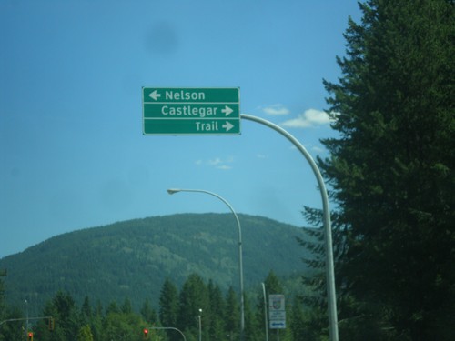
BC-6 South at BC-3A Junction
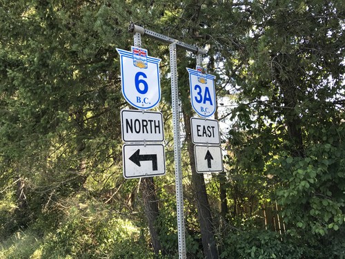
BC-6 South at BC-3A. Turn right for BC-3A west to Castlegar and Trail; turn left for BC-3A east and BC-6 south to Nelson. BC-6 south joins BC-3A east to Nelson.
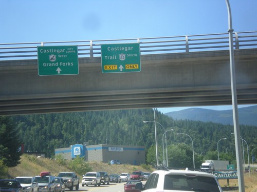
BC-3 West at BC-22 South - Castlegar
BC-3 West at BC-22 South in Castlegar. Use BC-22 south for Castlegar and Trail. Continue west on BC-3 for Castlegar City Centre and Grand Forks.
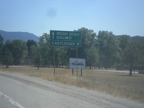
BC-3A West approaching BC-3
BC-3A West approaching BC-3. Use right lane for BC-3 West/Castlegar. Use left lane for BC-3 East/Weigh Station/Salmo.
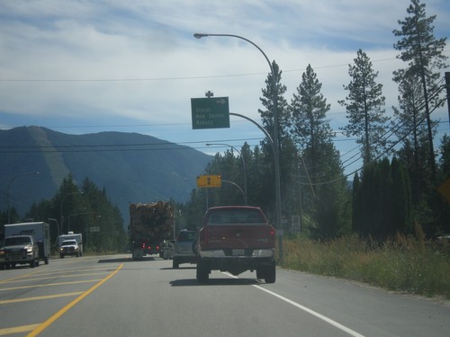
BC-3A West/BC-6 North Split
BC-3A West/BC-6 North split in South Slocan. Turn right for BC-6 north to Slocan, New Denver, and Nakusp.
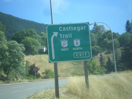
BC-3A West at BC-6 - Nelson
BC-3A West at BC-6 junction in Nelson. Exit right for BC-3A West/BC-6 North/Trail Castlegar.
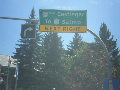
BC-3A - Downtown Nelson
BC-3A (Ward St.) at Vernon St. in Nelson. Turn right on Vernon St. for BC-3A West/Castlegar and To BC-6/Salmo.
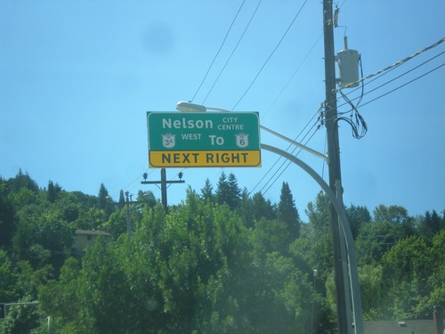
BC-3A/To BC-6 - Nelson St. Approaching Anderson St. in Nelson
BC-3A West/To BC-6/Nelson City Centre Next Right on Nelson St. approaching Anderson St. in Nelson.
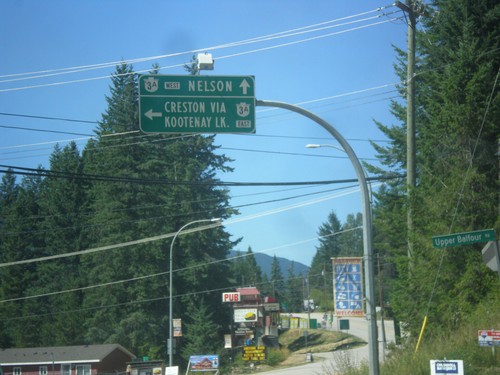
End BC-31 South at BC-3A
End BC-31 South at BC-3A in Balfour. Turn left for BC-3A East to Creston via Kootenay Lake (Ferry). Continue straight for BC-3A West to Nelson.
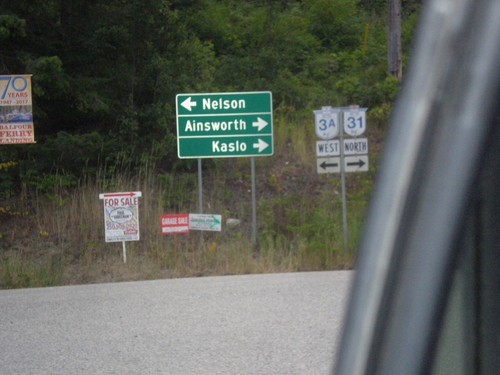
BC-3A West at BC-31
BC-3A West at BC-31 in Balfour, leaving the Kootenay Lake Ferry. Turn right for BC-31 north to Ainsworth and Kaslo. Turn left for BC-3A west to Nelson.
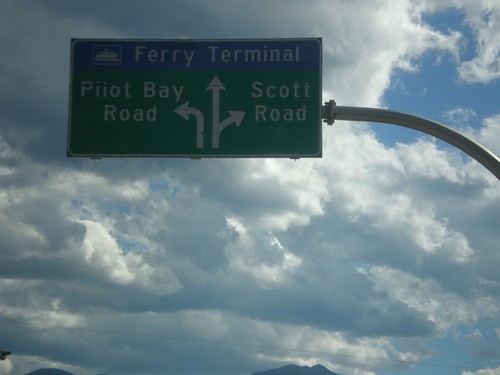
BC-3A West - Kootenay Lake Ferry
BC-3A West approaching Kootenay Lake Ferry. Use left lane for Pilot Bay Road; right lane for Scott Road. Continue in middle lane for the Kootenay Lake Ferry.
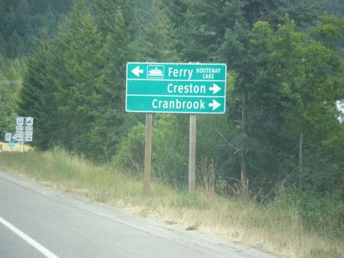
BC-3 East at BC-3A North
BC-3 East at BC-3A North in Creston. Turn left for BC-3A North to Kootenay Lake Ferry; turn right for BC-3 East to Creston and Cranbrook. BC-3A is an alternate route to BC-3 and follows Kootenay Lake and the Kootenay River west before re-joining BC-3 in Castlegar.
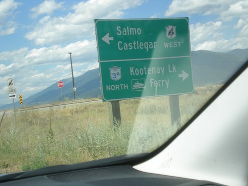
End BC-21 North at BC-3 (To BC-3A)
End BC-21 North at BC-3 (To BC-3A) in Creston. Turn left for BC-3 West to Salmo and Castlegar. Turn right for (BC-3 East), BC-3A North/Kootenay Lake Ferry.
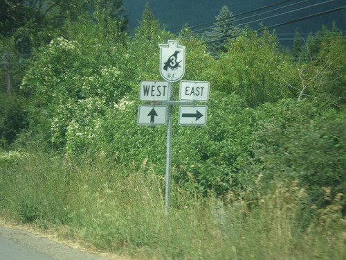
BC-21 North at Erickson Road
BC-21 North at Erickson Road. Turn right for Erickson Road east and BC-3 east. Continue north on BC-21 for BC-3 west.
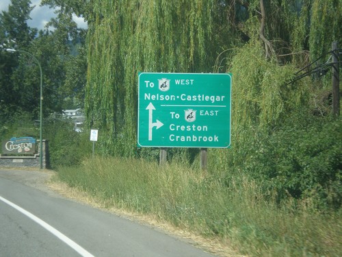
BC-21 North Approaching Erickson Road
BC-21 North approaching Erickson Road in Creston. Use Erickson Road west for BC-3 East/Creston/Cranbrook. Continue north on BC-21 for BC-3 East to Nelson and Castlegar.
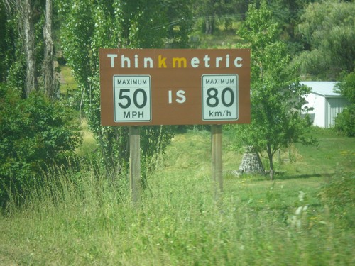
BC-21 North - Think Metric
Think Metric sign on BC-21 north, just past the Rykerts Port of Entry. 50 MPH = 80 km/h.
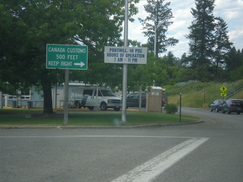
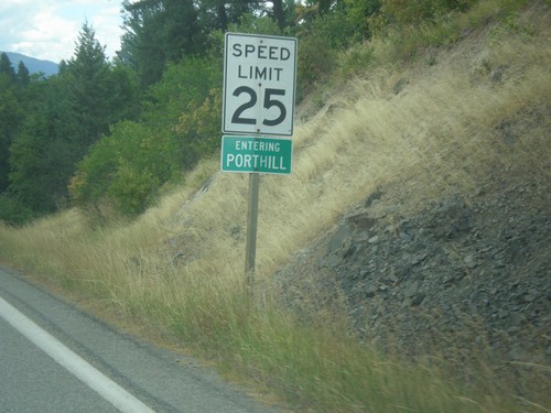
ID-1 North - Porthill Idaho Port of Entry
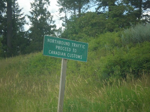
ID-1 North at Porthill Idaho Port of Entry. Merge right to continue into Canada.
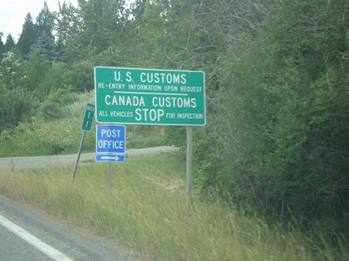
ID-1 North - Border Crossing
ID-1 north approaching US Customs and Canada Customs. Turn right for the Porthill Post Office.
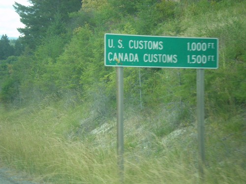
ID-1 North - Distance Marker
Distance Marker on ID-1 north at Porthill. Distance to US Customs and Canada Customs.
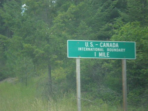
ID-1 North - US-Canada International Boundary
ID-1 North approaching US-Canada International Boundary at Porthill.
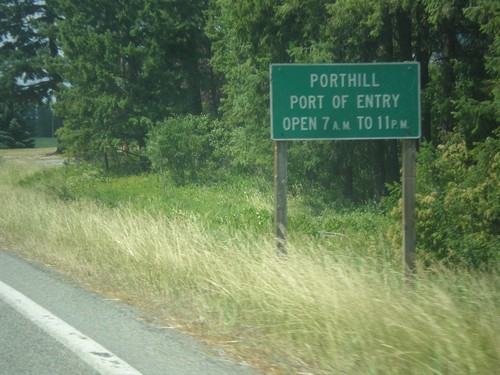
ID-1 North - Porthill Port of Entry Hours
Porthill Port of Entry Hours on ID-1 North. Porthill is not a 24 hour port of entry.
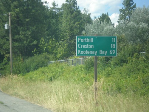
ID-1 North - Distance Marker
Distance marker on ID-1 north. Distance to Porthill, Creston (BC - Canada), and Kootenay Bay (BC- Canada). Kootenay Bay is the Kootenay Lake ferry terminal.
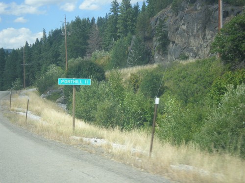
ID-1 North - Distance Marker
Distance marker on ID-1 north. Distance to Porthill. Porthill is located on the Canadian border.
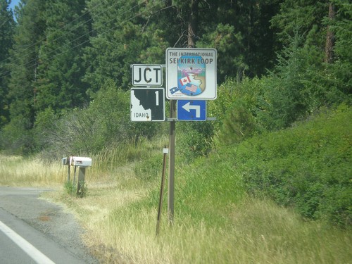
US-95 North Approaching ID-1
US-95 North approaching ID-1 in Boundary County. Use ID-1 north for the International Selkirk Loop.
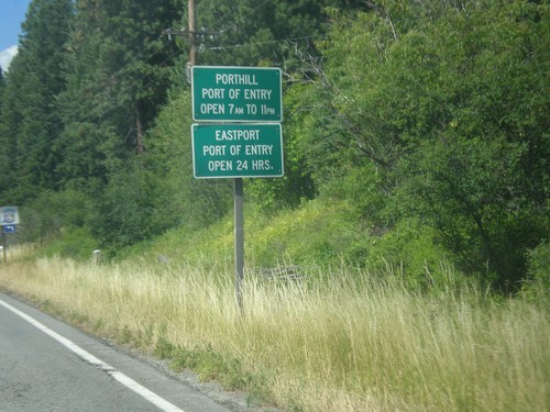
US-95 North - Idaho Ports Of Entry Hours
Customs hours approaching on US-95 north approaching ID-1 junction. Porthill Port of Entry (via ID-1) open from 7 AM - 11 PM. Eastport Port of Entry (via US-95) open 24 hours.
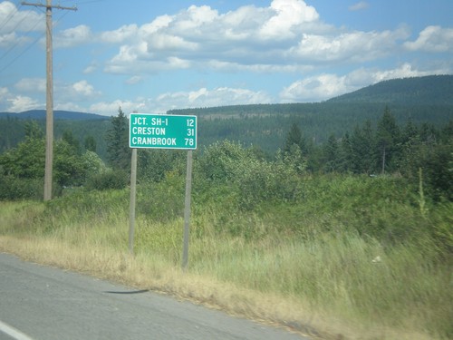
US-95 North - Distance Marker
Distance marker on US-95 north. Distance to Jct. SH-1, Creston (BC via ID-1), and Cranbrook (BC via US-95).
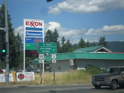
US-95 North/US-2 East at US-95/US-2 Split
US-95 North/US-2 East at US-95/US-2 split. Turn right for US-2 east to Moyie Springs and Kalispell (Montana). Continue north on US-95 for Canada.
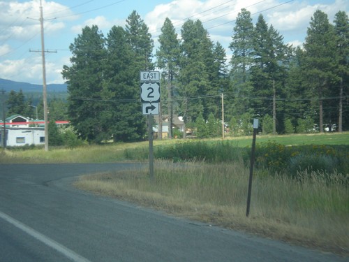
US-95 North/US-2 East approaching US-2
US-95 North/US-2 East approaching US-2. Turn right to continue east on US-2.
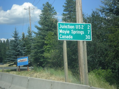
US-95 North/US-2 East - Distance Marker
Distance marker on US-95 North/US-2 East. Distance to Junction US-2, Moyie Springs (via US-2), and Canada (via US-95).
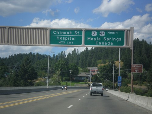
US-95 North/US-2 East - Chinook St. Jct.
US-95 North/US-2 East approaching Chinook St./Hospital. Continue on US-95 North/US-2 East for Moyie Springs (via US-2) and Canada (via US-95).
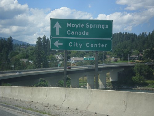
US-95 North/US-2 East at Bus. US-95 Jct.
US-95 North/US-2 East at Bus. US-95 Jct. to (Bonners Ferry) City Center. Continue ahead for Moyie Springs (via US-2) and Canada (via US-95). The Kootenai River bridge is in the background of the photo.
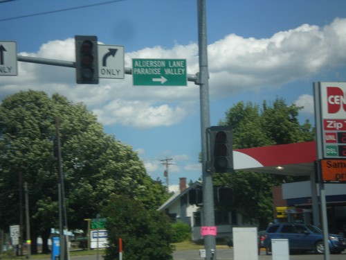
US-95 North/US-2 East - Alderson Ln
US-95 North/US-2 East at Alderson Ln. Turn right for Alderson Lake and Paradise Valley.
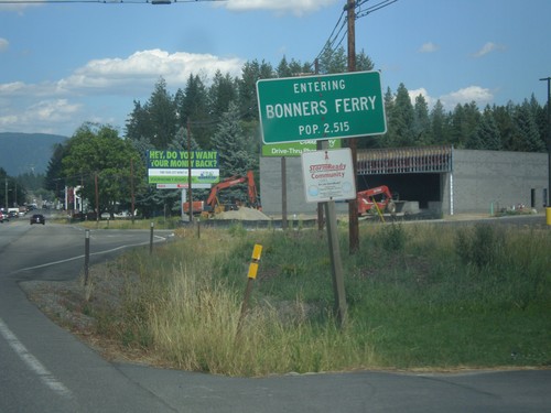
US-95 North/US-2 East - Bonners Ferry
Entering Bonners Ferry on US-95 North/US-2 East. Bonners Ferry is the county seat of Boundary County, Idaho which is the northernmost county in Idaho.
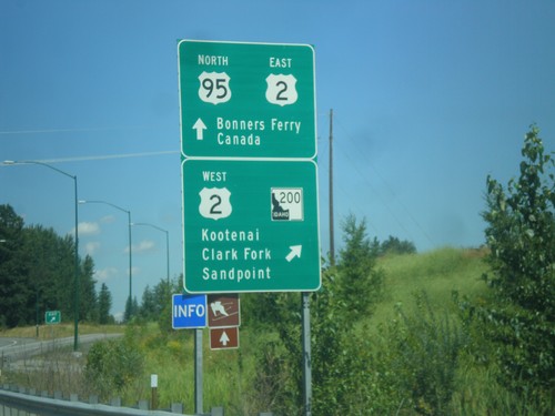
US-95 North at US-2/ID-200 Interchange
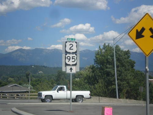
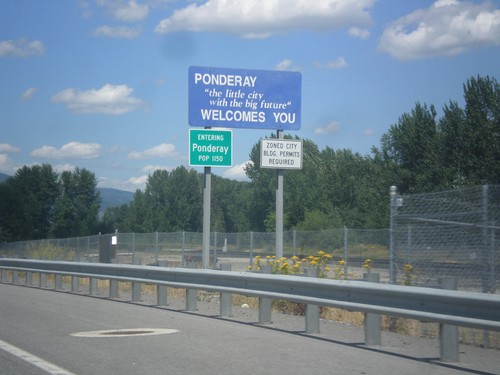
US-95 North at US-2/ID-200 interchange in Ponderay. Exit here for US-2 West/ID-200/Kootenai (via ID-200)/Clark Fork (via ID-200)/Sandpoint (via US-2). Continue ahead for US-95 North/US-2 East/Bonners Ferry/Canada. This is the northern end of the Sandpoint bypass.
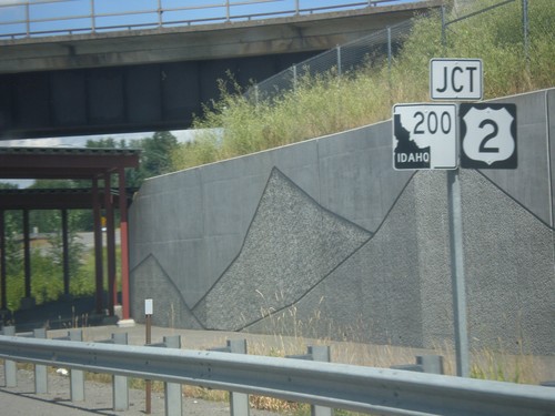
US-95 North Approaching US-2 and ID-200
US-95 North approaching US-2 and ID-200 in Ponderay. US-2 east joins US-95 north to Bonners Ferry. This is also the western end of multi-state highway 200. Highway 200 starts here as ID-200, and crosses Montana, and North Dakota before ending in Minnesota. The ID-200 shield has an inverted color scheme.
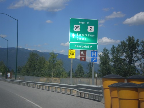
US-95 North - Sandpoint Exit
US-95 north at Sandpoint interchange. Continue north on US-95 north for US-2, Bonners Ferry, and Canada.
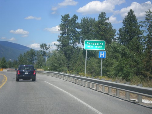
US-95 North - Sandpoint Next Right
US-95 North approaching south access to Sandpoint. Merge right for access to Sandpoint. This is the southern end of the Sandpoint bypass completed in 2012. Prior to the bypass, all US-95 traffic routed through downtown Sandpoint.
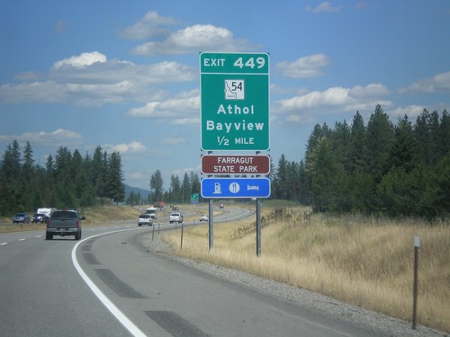
US-95 North - Exit 449
US-95 north approaching Exit 449 - ID-54/Athol/Bayview. Use Exit 449 for Farragut State Park.
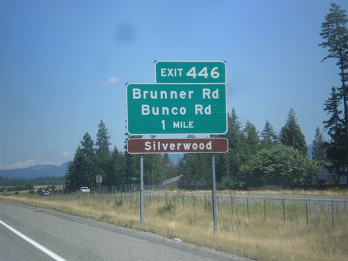
US-95 North - Exit 446
US-95 north approaching Exit 446 - Brunner Road/Bunco Road. Use Exit 446 for Silverwood theme park.
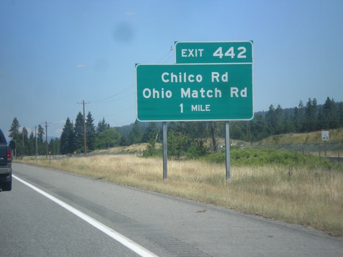
US-95 North - Exit 442
US-95 north approaching Exit 442 - Chilco Road/Ohio Match Road. This is the beginning of new US-95 alignment north of Coeur d’Alene.
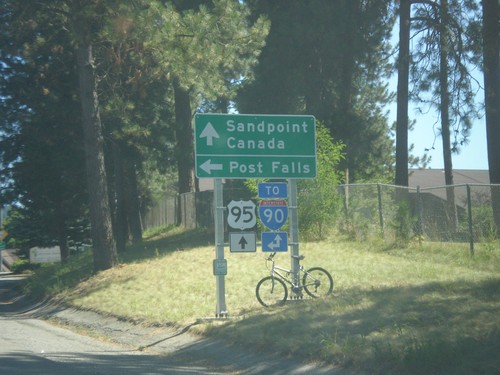
US-95 North - Northwest Blvd. West
US-95 North at Northwest Blvd. West. Use Northwest Blvd. for Post Falls and for I-90 (West). Continue north on US-95 for Sandpoint, Canada and I-90 (East).
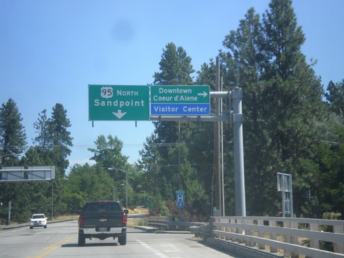
US-95 North - Northwest Blvd. East
US-95 North at Northwest Blvd to Downtown Coeur d’Alene. Continue north on US-95 for Sandpoint.
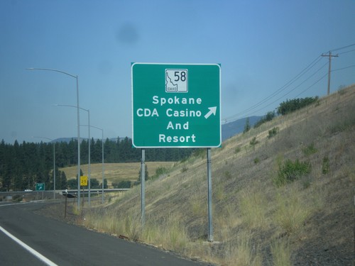
US-95 North - ID-58 Junction
US-95 North at ID-58 Junction. Use ID-58 for Spokane and CdA (Coeur d’Alene) Casino and Resort.
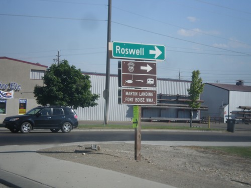
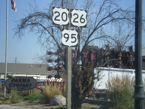
US-20/US-26 East/US-95 South - Roswell Jct.
US-20/US-26 East/US-95 South at Roswell junction (Old Highway 18) in Parma.
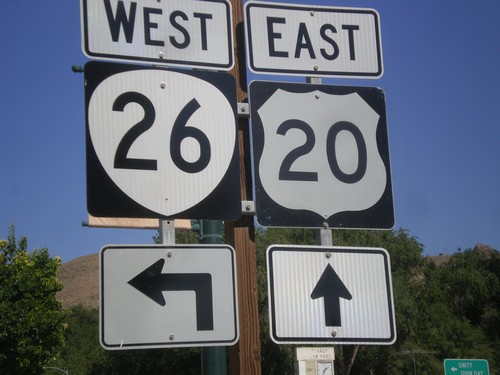
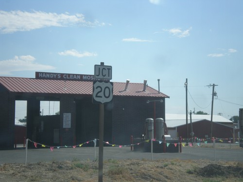
US-20 East Approaching US-26 West - Vale
US-20 east approaching US-26 in downtown Vale. The US-26 shield here has been incorrectly signed using the Oregon state highway shield. So it appears to be a US-20/OR-26 junction.
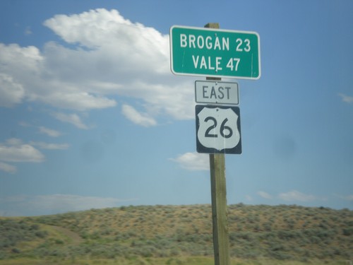
US-26 East - Distance Marker
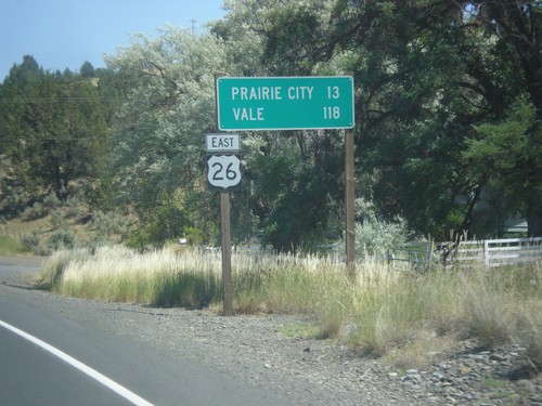
Distance Marker on US-26 East. Distance to Brogan and Vale. The text on this sign is center aligned instead of the typical format of the place names aligned to the left and the distance aligned to the right.
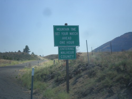
US-26 East - Malheur County / Mountain Time
Entering Malheur County / Mountain Time Zone on US-26 east. Most of Oregon is in Pacific Time, except for the northern half of Malheur County and some communities in Hells Canyon.
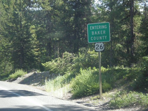
US-26 East - Entering Baker County
Entering Baker County on US-26 East at the summit of the Blue Mountains.
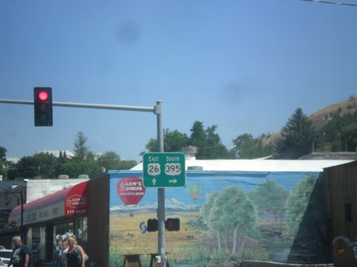
US-26 East/US-395 South Split - John Day
US-26 East/US-395 South Split in John Day. Turn right for US-395 south; continue straight for US-26 east. US-395 north joins US-26 westbound to Mount Vernon.
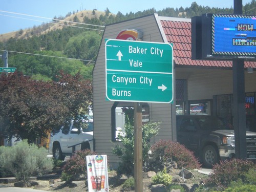
US-26 East/US-395 South Split - John Day
US-26 East/US-395 Split in John Day. Turn right for US-395 south to Canyon City and Burns. Continue east on US-26 for Baker City (via OR-7), and Vale.
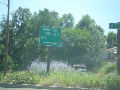
US-26 East - South Fork Road
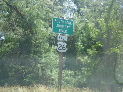
US-26 East at South Fork (John Day River) Road in Dayville. Turn right for the South Fork John Day River and Izee.
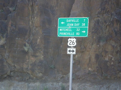
End OR-19 South at US-26
End OR-19 South at US-26 in Grant County. Turn right for US-26 West to Mitchell and Prineville (Ochoco Highway); turn left for US-26 East to Dayville and John Day (John Day Highway).
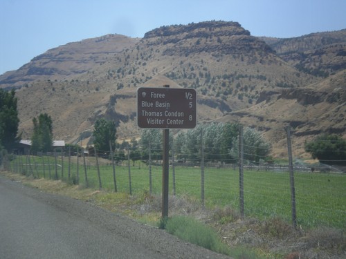
OR-19 South - John Day Fossil Beds NM Distance Marker
Distance Marker to sites in John Day Fossil Beds National Monument on OR-19 South - Foree, Blue Basin, and Thomas Condon Visitors Center.
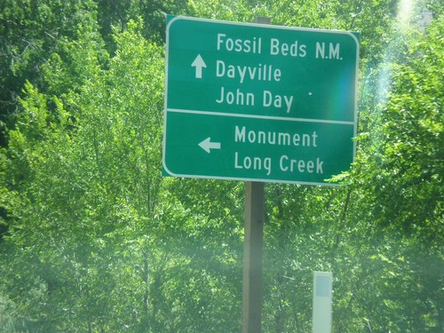
OR-19 South at OR-402 Junction
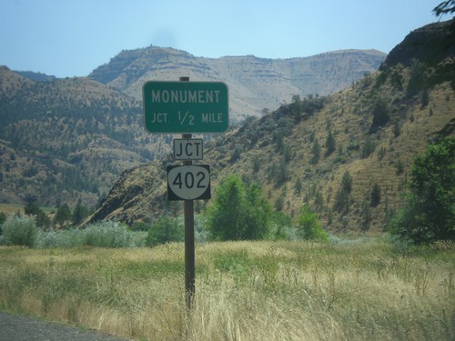
OR-19 South at OR-402 east to Monument and Long Creek. Continue south on OR-19 for (John Day) Fossil Beds National Monument, Dayville, and John Day.
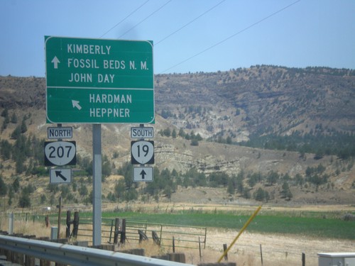
OR-19 South/OR-207 North at OR-19/OR-207 Split
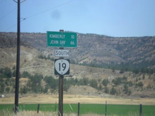
OR-19 South/OR-207 North at OR-19/OR-207 split. Use OR-207 North for Heppner and Hardman. Continue south on OR-19 for Kimberly, (John Day) Fossil Beds National Monument and John Day.
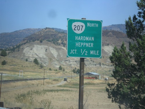
OR-19 South/OR-207 North Approaching OR-19/OR-207 Split
OR-19 South/OR-207 North approaching OR-19/OR-207 split. Use OR-207 North for Hardman and Heppner.
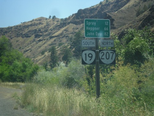
OR-19 South/OR-207 North - Distance Marker
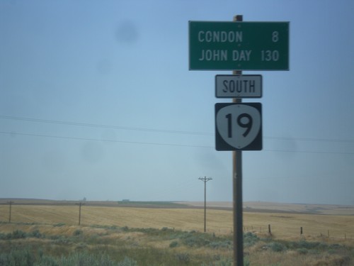
Distance Marker on OR-19 South/OR-207 North. Distance to Spray, Heppner (via OR-207) and John Day (via OR-19).
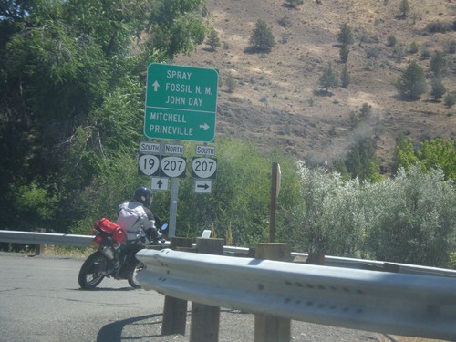
OR-19 South at OR-207
OR-19 South at OR-207 in Service Creek. Use OR-207 south for Mitchell and Prineville. Use OR-19 South/OR-207 North for Spray, (John Day) Fossil (Beds) National Monument (Sheep Rock Unit), and John Day. OR-207 north joins OR-19 south to Spray.
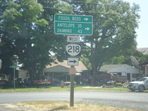
OR-19 South at OR-218 West
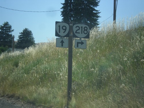
OR-19 South at OR-218 West in Fossil. Use OR-218 west for (John Day) Fossil Bends (Clarno Unit), Antelope, and Shaniko.
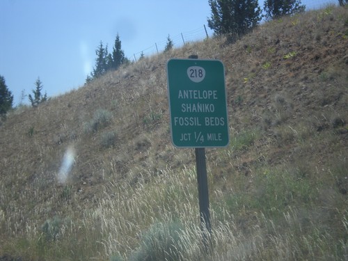
OR-19 South Approaching OR-218
OR-19 South approaching OR-218 to Antelope, Shaniko, and (John Day) Fossil Beds (Clarno Unit).
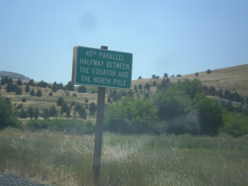
OR-19 South - 45th Parallel
45th Parallel - Halfway Between The Equator and the North Pole on OR-19 south in Fossil.
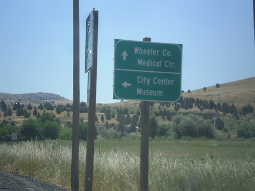
OR-19 South - First St.
OR-19 south at First St. in Fossil. Turn left for First St. to City Center and Museum. Continue south on OR-19 for Wheeler County Medical Center.
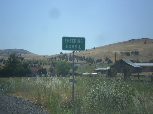
OR-19 South - Fossil
Entering Fossil on OR-19 south. Fossil is the county seat of Wheeler County, Oregon.
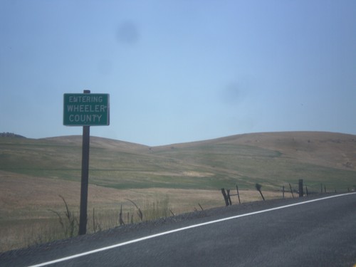
OR-19 South - Wheeler County
Entering Wheeler County on OR-205 south. Wheeler County is the least populous county in Oregon.
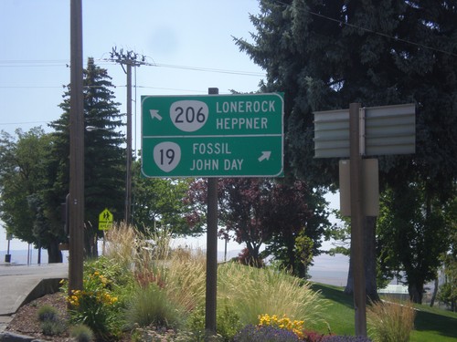
OR-19 South/OR-206 East at OR-19/OR-206 Split
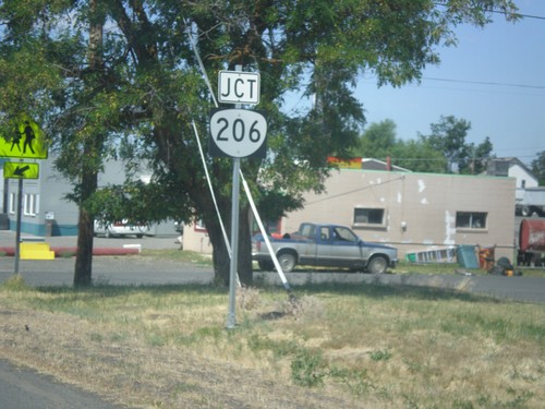
OR-19 South/OR-206 East at OR-19/OR-206 split in Condon. Turn left for OR-206 east to Lonerock and Heppner. Merge right for OR-19 south to Fossil and John Day.
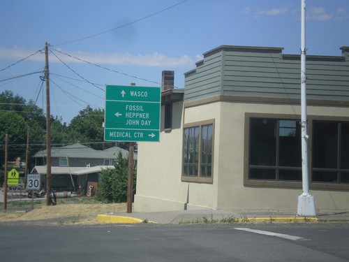
OR-19 South at OR-206 - Condon
OR-19 South at OR-206 in Condon. Continue straight for OR-206 west to Wasco. Turn left for OR-19 South/OR-206 east to Fossil, Heppner, and John Day. Turn right on Main St. for the Medical Center.
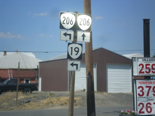
OR-19 South at OR-206 - Condon
OR-19 South at OR-206 in Condon. Continue straight for OR-206 west; turn left for OR-19 South/OR-206 east. OR-206 joins OR-19 south through Condon.
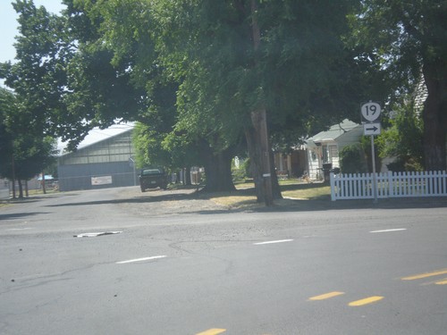
OR-19 South - Condon
OR-19 South at Washington St./Walnut St. junction in Condon. Merge left to continue south on OR-19.
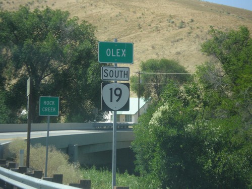
OR-19 South - Olex
Entering the community of Olex on OR-19 south. Approaching the bridge over Rock Creek.
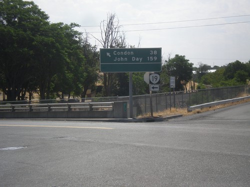
OR-19 South (Cottonwood St.) at Locust St.
OR-19 South (Cottonwood St.) at Locust St. in Arlington. Turn left to continue south on OR-19 for Condon and John Day.
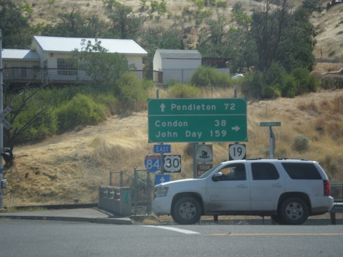
I-84 East Exit 137 Offramp at OR-19
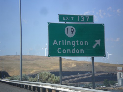
I-84 East Exit 137 offramp at OR-19 in Arlington. Turn right on OR-19 south for Condon and John Day. Continue straight for access to I-84/US-30 East to Pendleton.
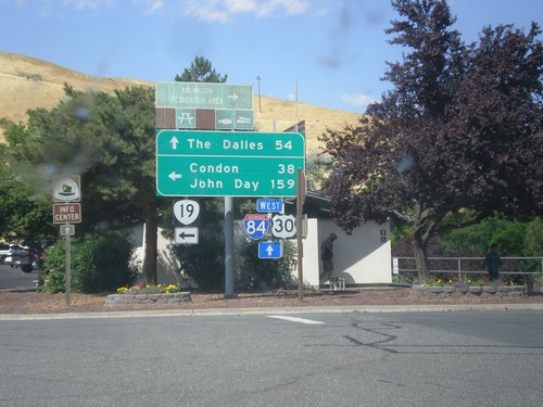
I-84 West Exit 137 Offramp at OR-19
I-84 West Exit 137 offramp at OR-19 in Arlington. Turn left on OR-19 south for Condon and John Day. Continue straight for access to I-84/US-30 West to The Dalles.
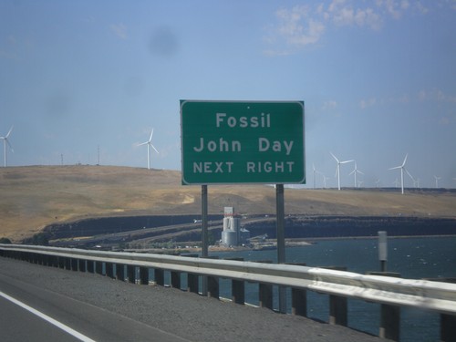
I-84 West Approaching Exit 137
I-84 West approaching Exit 137 (OR-19 South). Use OR-19 south for John Day and Fossil. The Columbia River is in the background of the photograph, as well as the windmills that dot this area of the gorge.
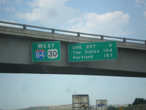
I-84/US-30 West - Distance Marker
Distance Marker on I-84/US-30 West in Stanfield. Distance to OR 207, The Dalles, and Portland.
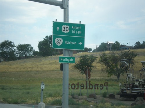
US-30 West at OR-37 North
US-30 west at OR-37 north to Holdman. Continue west on US-30 for Airport and I-84.
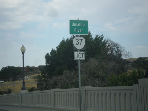
US-30 West Approaching OR-37 Jct. at Umatilla River Bridge.
US-30 West approaching OR-37 Jct. crossing the Umatilla River bridge.
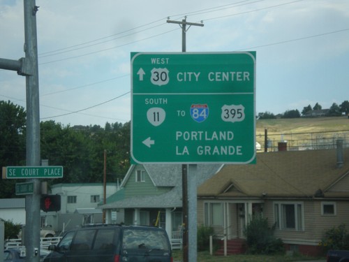
US-30 West/OR-11 South at US-30/OR-11 Split
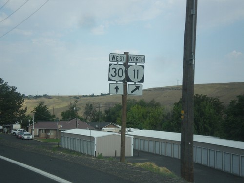
US-30 West/OR-11 South at US-30/OR-11 Split in Pendleton. Turn left for OR-11 south to I-84/US-395 to Portland and La Grande. Continue straight for US-30 West to City Center.
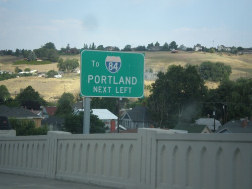
US-30 West/OR-11 South - I-84 West Next Left
US-30 West/OR-11 South approaching US-30/OR-11 Split in Pendleton. Turn left for I-84 West to Portland.
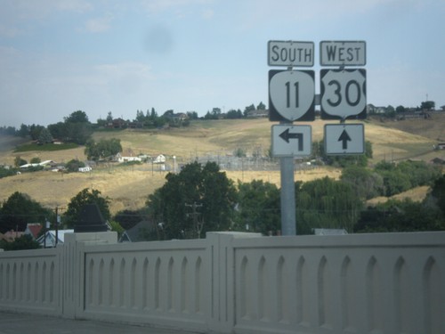
US-30 West/OR-11 South (Court St.) at US-30/OR-11 Split
US-30 West/OR-11 South (Court St.) at US-30/OR-11 split in Pendleton.
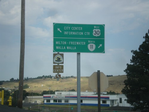
US-30 West at OR-11
US-30 West at OR-11. Use OR-11 north for Milton-Freewater and Walla Walla (Washington). Continue west on US-30 for City Center and Information Center. OR-11 south joins US-30 west for a short distance through Pendleton.
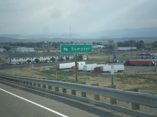
I-84 West - Exit 304 Offramp at OR-7
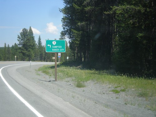
I-84 West - Exit 304 offramp at OR-7 in Baker City. Turn left on OR-7 west to Sumpter.
