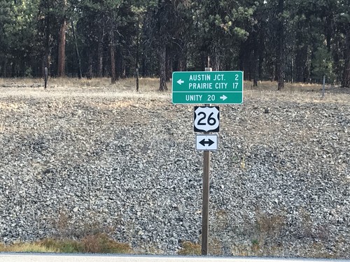
Signs From September 2017
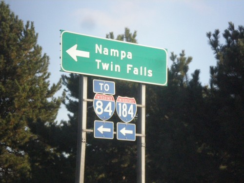
Curtis Road North at I-184 West (Exit 2) Onramp
Curtis Road North at I-184 West (Exit 2) Onramp to I-84, Nampa, and Twin Falls.
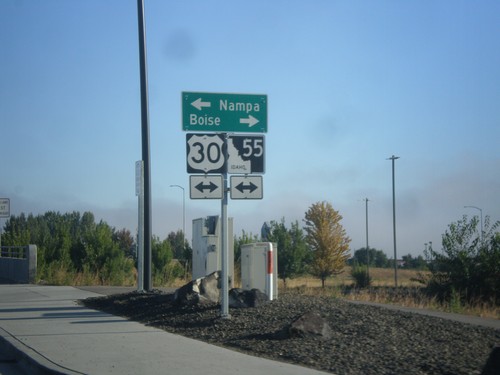
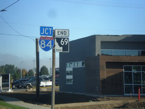
End ID-69 North at I-84/US-30/ID-55
End ID-69 North at I-84/US-30/ID-55. Turn right for (I-84)/US-30 East/ID-55 north to Boise; left for (I-84)/US-30 West/ID-55 South to Nampa.
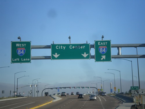
End ID-69 North at I-84/US-30/ID-55
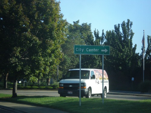
End ID-69 north at I-84/US-30/ID-55 junction. Turn right for I-84 east; left for I-84 west. Continue north for (Meridian) City Center. This interchange was recently converted into a SPUI in 2016.
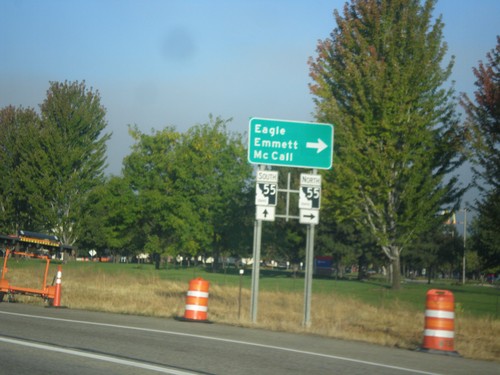
I-84 West - Exit 46 Offramp
I-84 West - Exit 46 Offramp in Meridian. Turn right on ID-55 (Eagle Road) for Eagle, Emmett, and McCall. ID-55 south joins I-84 westbound to Nampa.
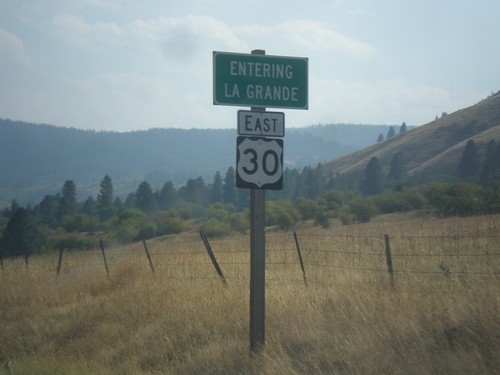
US-30 East - La Grande
Entering La Grande on US-30 east. La Grande is the county seat of Union County and home to Eastern Oregon University.
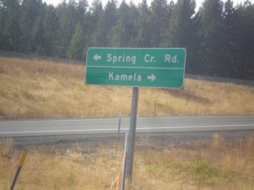
I-84 West (Exit 248) Offramp at Spring Creek Road
I-84 West (Exit 248) Offramp at Spring Creek Road. Turn right for Kamela; left for Spring Creek Road.
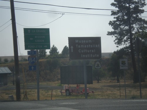
OR-331 South at Mission Road
OR-331 South at Mission Road. Turn left (east) for Misson and Gibbon; turn right (west) for Pendleton. Continue south on OR-331 for LaGrande, I-84, and the Museum-Tamastslikt Cultural Institute.
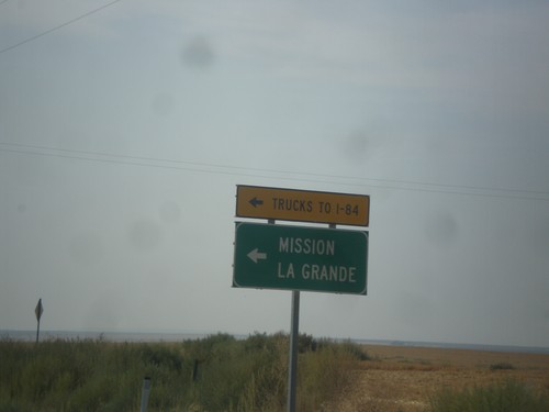
OR-11 South at OR-331
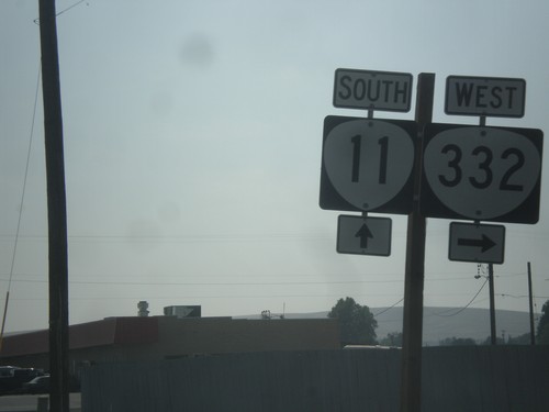
OR-11 South at OR-331 (unsigned). Use OR-331 south (Mission Highway) to Mission and LaGrande. All I-84 truck traffic use OR-331.
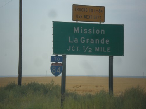
OR-11 South Approaching OR-331
OR-11 South Approaching OR-331 (Mission Highway). Use Mission Highway for Mission and LaGrande. I-84 traffic is encouraged to use the Mission Highway instead of going through Pendleton.
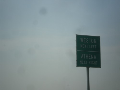
OR-11 South Approaching OR-334 and Banister Road
OR-11 South approaching (OR-334) west to Athena, and Banister Road east to Weston.
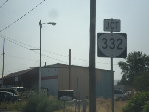
OR-11 South Approaching OR-332
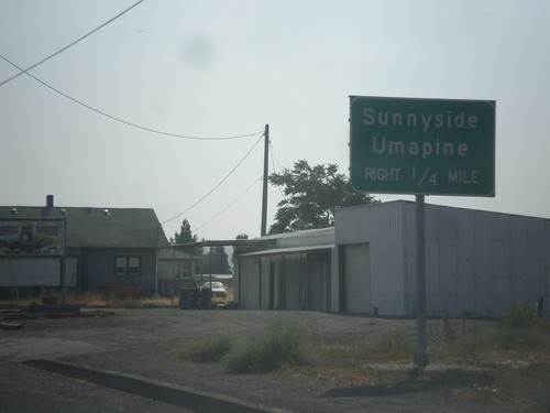
OR-11 South approaching OR-332 in Umatilla County. OR-332 was recently signed as a state highway. In prior years this was just known as the Sunnyside-Umapine Highway #332, but without any route markers.
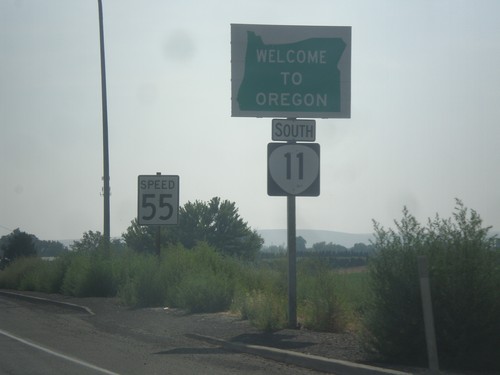
OR-11 South - Welcome To Oregon
Welcome to Oregon on OR-11 south at the Washington-Oregon state line. Also the first speed limit sign in Oregon is in the background - 55 MPH. Most Oregon speed limit signs omit the word Limit.
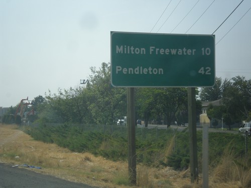
WA-125 South - Distance Marker
Distance marker on WA-125 south. Distance to Milton-Freewater (Oregon) and Pendleton (Oregon).
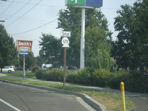
WA-125 Spur East - Walla Walla
WA-125 Spur East in Walla Walla. WA-125 Spur connects the US-12 freeway with WA-125.
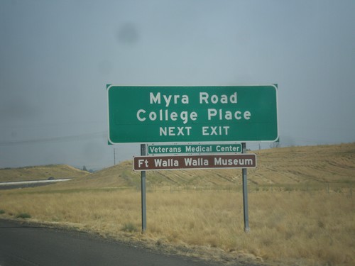
US-12 East Approaching WA-125 Jct.
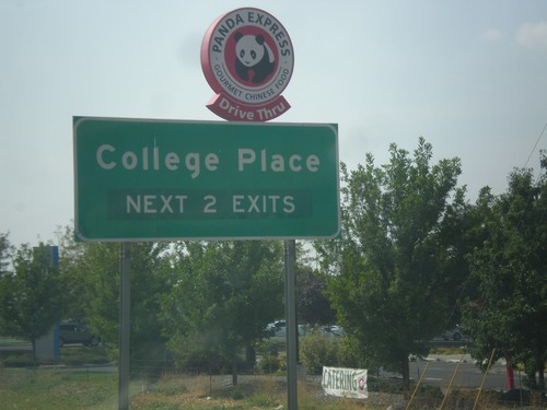
US-12 East Approaching WA-125 Jct. Use WA-125 interchange for College Place, and Myra Road.
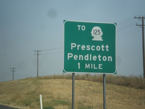
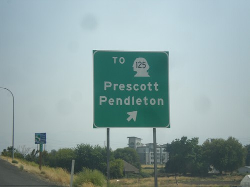
US-12 East Approaching To WA-125/Pendleton (Oregon)/Prescott.
US-12 East approaching To WA-125/Pendleton (Oregon)/Prescott.
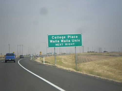
US-12 East Approaching Heritage Road
US-12 East approaching Heritage Road. Use Heritage Road for College Place and Walla Walla University.
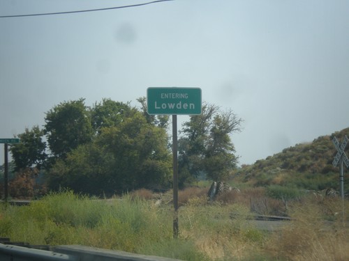
US-12 East - Entering Lowden
Entering Lowden on US-12 east. Lowden is an unincorporated community in Walla Walla County.
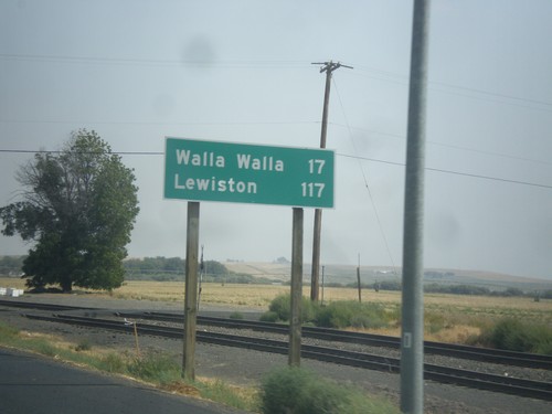
US-12 East - Distance Marker
Distance marker on US-12 east. Distance to Walla Walla and Lewiston (Idaho).
US-12 East - Distance Marker
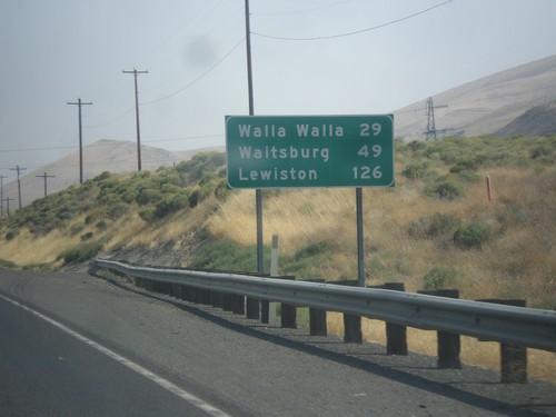
Distance marker on US-12 east. Distance to Walla Walla, Waitsburg, and Lewiston (Idaho).
US-12 West at US-730 West
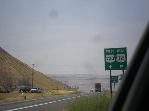
US-12 West at US-730 West in Walla Walla County. Merge right to continue west on US-12. US-730 follows the Columbia River westbound into Oregon.
US-12 East at US-730
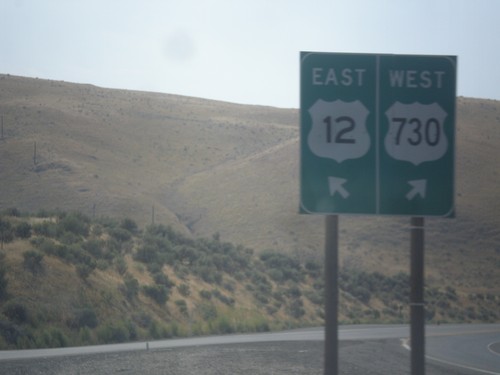
US-12 East at US-730. Merge right for US-730 west; left for US-12 east. This is the western end of US-730.
US-12 East at US-730
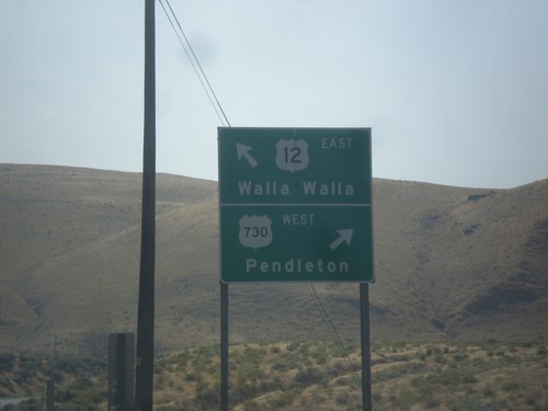
US-12 East at US-730. Use US-730 West to Pendleton (Oregon); US-12 East to Walla Walla.
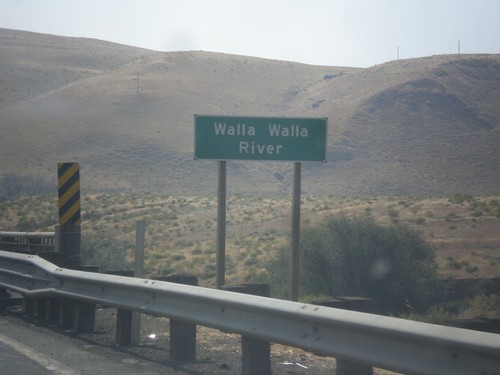
US-12 East - Walla Walla River
US-12 East at Walla Walla River bridge. The Walla Walla River flows into the Columbia River immediately west of this bridge.
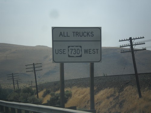
US-12 East Approaching US-730
US-12 East approaching US-730. All trucks use US-730 west, to access the Weigh Station.
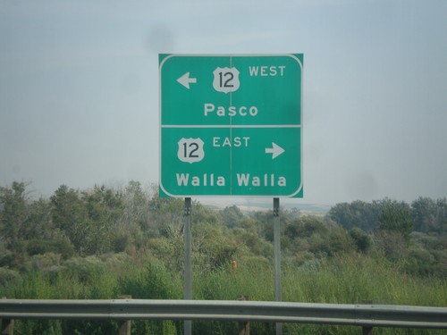
End US-730 East at US-12
End US-730 East at US-12. Turn right for US-12 east to Walla Walla; left for US-12 west to Pasco.
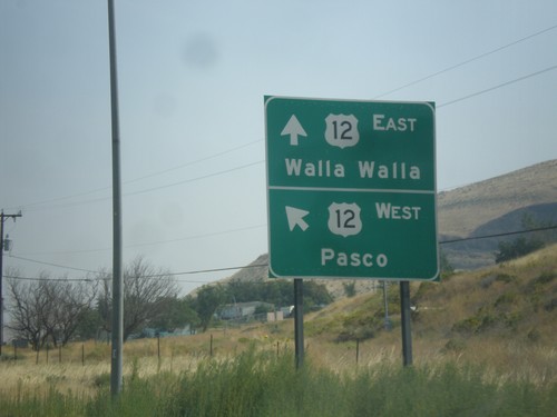
End US-730 East at US-12
End US-730 East at US-12. Merge left for US-12 west to Pasco; right for US-12 east to Walla Walla.
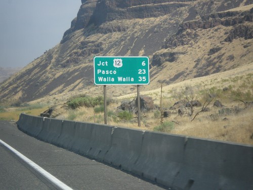
US-730 East - Distance Marker
Distance marker on US-730 east. Distance to Jct. US-12, Pasco, and Walla Walla. This is the first distance marker eastbound along US-730 east in Washington.
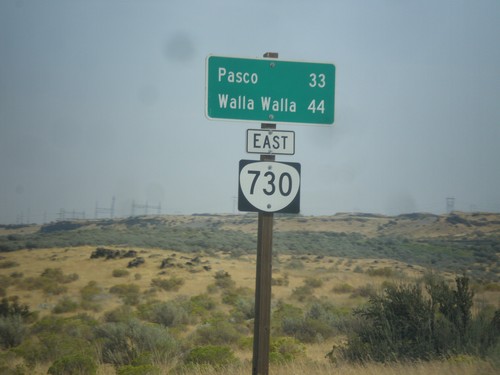
US-730 East - Distance Marker (Signed as OR-730)
Distance marker on US-730 east which is incorrectly signed as OR-730. Distance to Pasco (Washington) and Walla Walla (Washington).
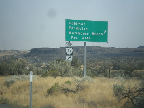
US-730 East at OR-37
US-730 East at OR-37 South at Cold Springs Junction. Use OR-37 south for Holdman, Pendleton, and Warehouse Beach Recreation Area.
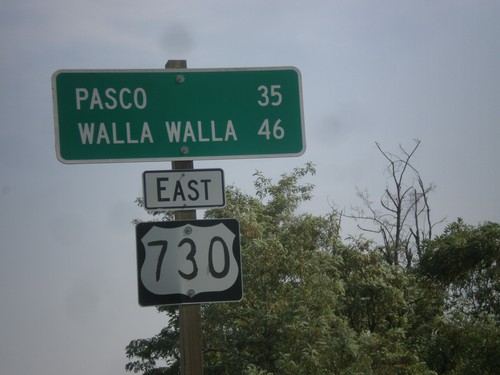
US-730 East - Distance Marker
Distance marker on US-730 east. Distance to Pasco (Washington) and Walla Walla (Washington).
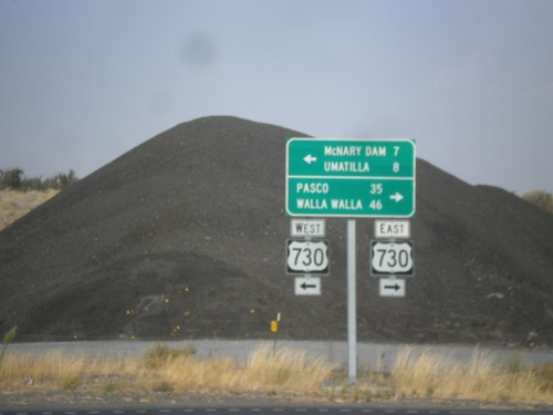
End OR-207 North at US-730
End OR-207 North at US-730 in Umatilla County. Turn left for US-730 west to McNary Dam and Umatilla; turn right for US-730 east to Pasco (Washington) and Walla Walla (Washington).
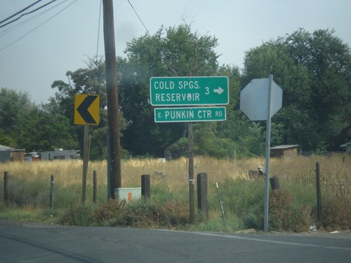
OR-207 North - Cold Springs Reservoir Jct.
OR-207 North at Punkin Center Road to Cold Springs Reservoir.
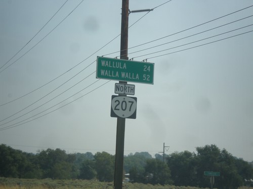
OR-207 North - Distance Marker
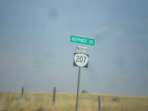
Distance marker on OR-207 north. Distance to Wallula (Washington) and Walla Walla (Washington).
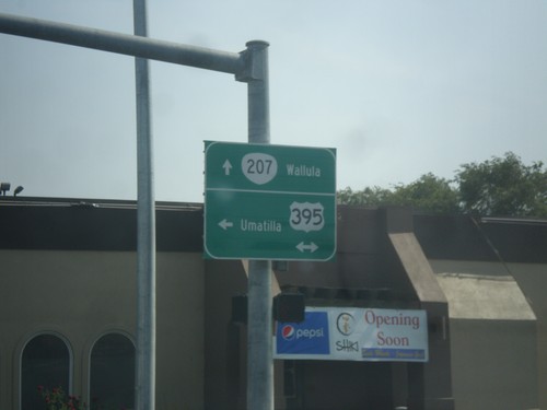
OR-207 North at US-395 - Hermiston
OR-207 North at US-395 in Hermiston. Turn left for US-395 north to Umatilla; continue straight for OR-207 North to Wallula (Washington). No destination is given for US-395 south.
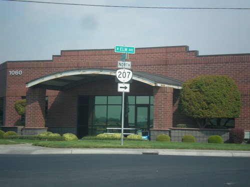
OR-207 North (NW 11th St.) at W. Elm Ave.
OR-207 North (NW 11th St.) at W. Elm Ave. in Hermiston. Turn right on Elm Ave. to continue north on OR-207.
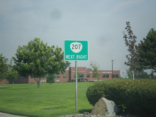
OR-207 North (NW 11th St.) Approaching Elm St.
OR-207 North (NW 11th St.) Aapproaching Elm St. in Hermiston. Turn right on Elm St. to continue north on OR-207.
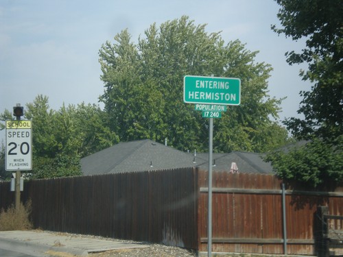
OR-207 North - Hermiston
Entering Hermiston on OR-207 north. Hermiston is the largest city in eastern Oregon.
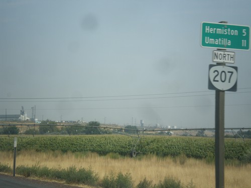
OR-207 North - Distance Marker
Distance marker on OR-207 north. Distance to Hermiston and Umatilla (via US-395).
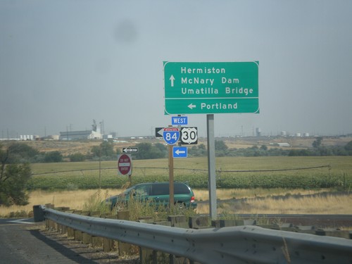
OR-207 North at I-84/US-30 West
OR-207 North at I-84/US-30 West in Umatilla County. Use I-84/US-30 west to Portland. Continue north on OR-207 for Hermiston, McNary Dam, and Umatilla Bridge.
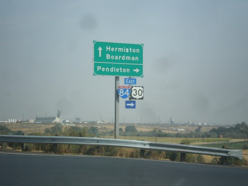
OR-207 North at I-84/US-30 East
OR-207 North at I-84/US-30 East. Use I-84/US-30 East to Pendleton; continue north on OR-207 for Hermiston and Boardman (via I-84/US-30 West).
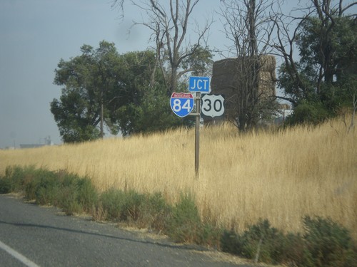
OR-207 North Approaching I-84/US-30
OR-207 North approaching I-84/US-30 (Exit 182) in Umatilla County.
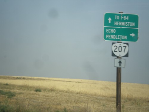
OR-207 North at Echo Jct.
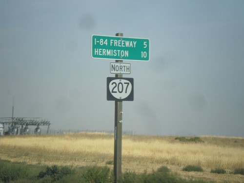
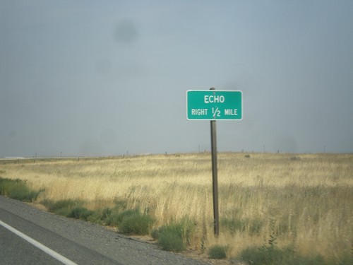
OR-207 North at Echo Jct. Turn right for Echo and Pendleton, and to continue north on the Lexington-Echo Highway #320. Continue north on OR-207 for I-84 Freeway and Hermiston. OR-207 northbound becomes the Hermiston Highway #333.
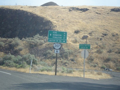
OR-207 North at Butler Creek Road
OR-207 North at Butler Creek Road in Morrow County. Continue north on OR-207 for Echo, Hermiston, and Pendleton.
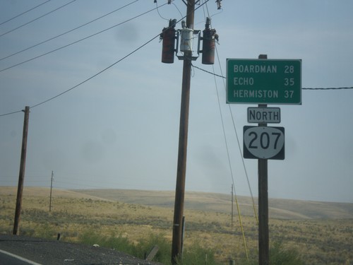
OR-207 North - Distance Marker
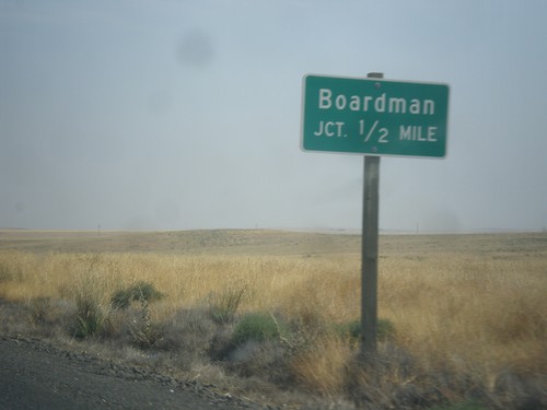
Distance marker on OR-207 north. Distance to Boardman, Echo, and Hermiston.
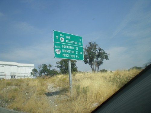
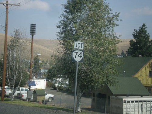
OR-74 West/OR-207 North at OR-74/OR-207 Split in Lexington
OR-74/OR-207 North at OR-74/OR-207 split in Lexington. Turn right on OR-207 North to Boardman, Hermiston, and Pendleton. Continue straight for OR-74 West to Ione and Arlington.
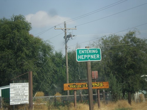
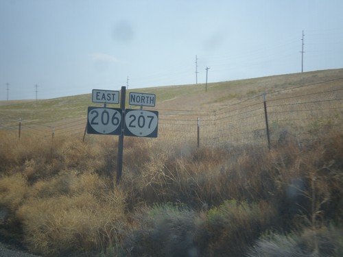
OR-207 North/OR-206 East - Heppner
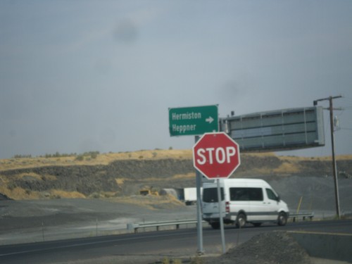
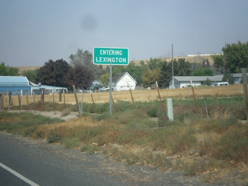
Entering Heppner on OR-207 North/OR-206 East. Heppner is the county seat of Morrow County, Oregon.
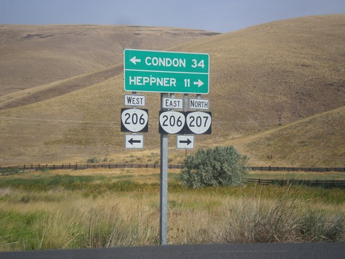
OR-207 North at OR-206
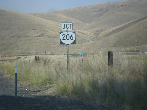
OR-207 North at OR-206 in Ruggs. Turn left for OR-206 West to Condon; turn right for OR-206 East/OR-207 North to Heppner. OR-207 joins OR-206 east to Heppner.
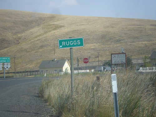
OR-207 North - Ruggs
Entering Ruggs on OR-207 north. Ruggs is a community along the junction of OR-207 and OR-206.
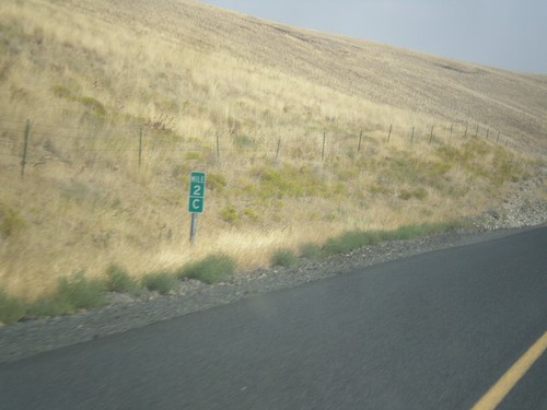
OR-207 North - Milepost
Milepost on OR-207 north - Mile 2C. Milepost 90 (B) on US-395 south. The C is because the state of Oregon maintains different internal highways along the state highway system. Some of the signed highways (like OR-207) span multiple internal highways. In this case this is the third internal highway south from the beginning of OR-207 at US-730 that belongs only to OR-207. The first (Hermiston Highway #333) is marked as an A on mileposts. The second (B) stretch is Lexington-Echo Highway #320. This stretch is the third (C) stretch (Heppner-Spray Highway #321). This type of milepost has been showing up in Oregon in the last 10 years, but not on all highways. I have seen it on US-395 and OR-207.
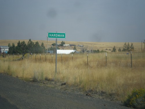
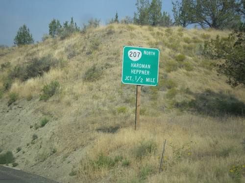
OR-207 North - Hardman
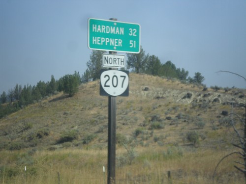
Entering the community of Hardman on OR-207 north. Hardman is a ghost town in Morrow County.
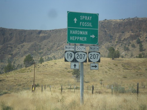
OR-19 North at OR-207 North
OR-19 North at OR-207 north near Spray. Use OR-207 north to Hardman and Heppner. Continue north on OR-19 and south on OR-207 to Spray and Fossil. OR-207 south joins OR-19 north to Service Creek.
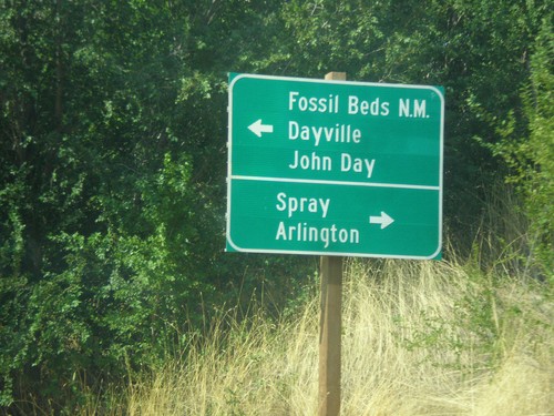
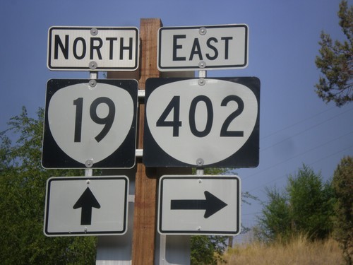
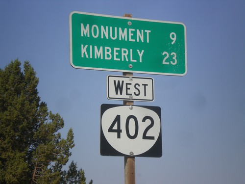
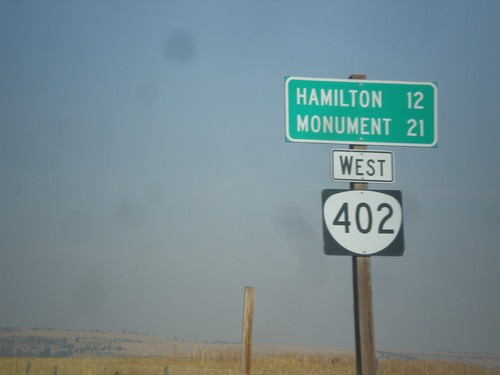
End OR-402 West at OR-19
End OR-402 West at OR-19 in Kimberly. Use OR-19 north for Spray and Arlington; OR-19 south for (John Day) Fossil Beds National Monument, Dayville, and John Day.
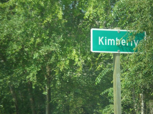
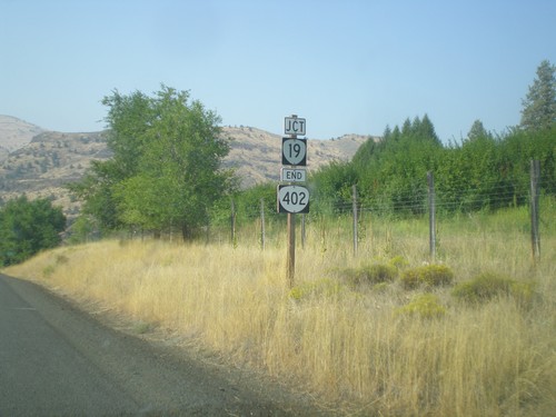
Entering Kimberly on OR-402 West
Entering Kimberly on OR-402 West. Kimberly is at the junction or OR-402 and OR-19, and is where the North Fork John Day River flows into the John Day River.
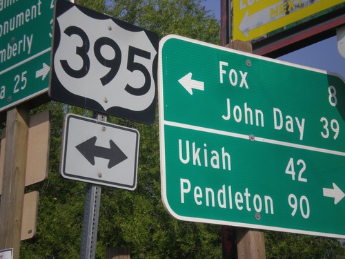
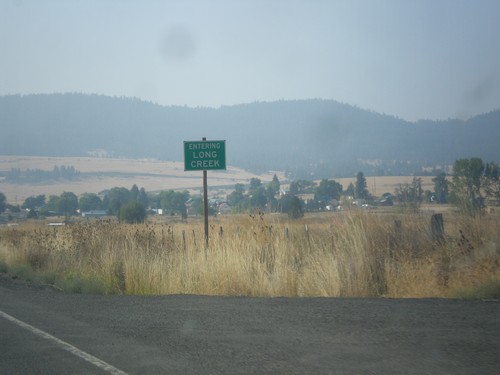
East Main St. at US-395/OR-402 in Long Creek
East Main St. at US-395/OR-402 in Long Creek. Turn left for US-395 north to Ukiah and Pendleton. Turn left for US-395 south to Fox and John Day.
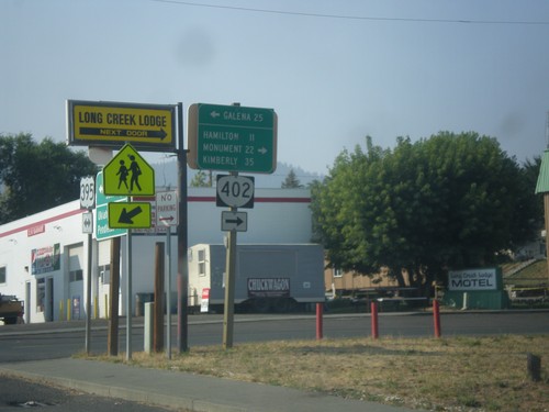
US-395 South at OR-402 West
US-395 south at OR-402 west to Hamilton, Monument, and Kimberly. Turn left for forest road east to Galena on the Middle Fork John Day River.
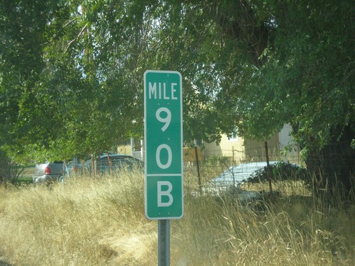
US-395 South - Mile 90 B
Milepost 90 (B) on US-395 south. The B is because the state of Oregon maintains different internal highways along the state highway system. Some of the signed highways (like US-395) span multiple internal highways. In this case this is the second internal highway south from the Washington border that belongs only to US-395. The first (Umatilla-Stanfield #54) is marked as an A on mileposts. This is the second (B) stretch - Pendleton - John Day #28). This type of milepost has been showing up in Oregon in the last 10 years, but not on all highways. I have seen it on US-395 and OR-207.
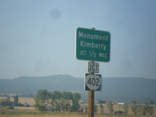
US-395 South Approaching OR-402
US-395 South approaching OR-402 in Long Creek. Use OR-402 west for Monument and Kimberly.
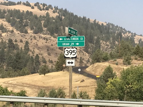
Middle Fork John Day River Road at US-395
Middle Fork John Day River Road at US-395 in Grant County. Turn left for US-395 south to Long Creek; left for US-395 north to Ukiah.
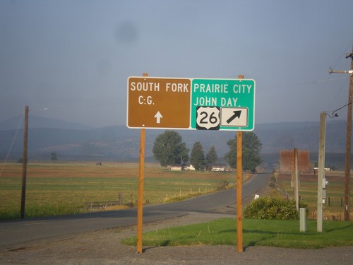
US-26 West - Burnt River Lane
US-26 West at Burnt River Lane in Unity. Merge left for South Fork (Burnt River) Campground. Merge right for US-26 west to Prairie City and John Day.
