Signs From November 2017
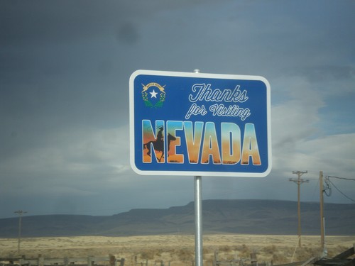
US-95 North - Leaving Nevada
Thanks for Visiting Nevada on US-95 north. This sign is posted after the Welcome to Oregon sign, inside the state of Oregon.
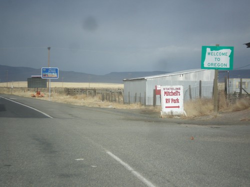
US-95 North - Welcome To Oregon
Welcome to Oregon on US-95 north. Behind the Oregon welcome sign is the leaving Nevada sign, which is inside of Oregon.
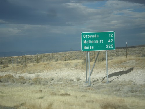
US-95 North - Distance Marker
Distance marker on US-95 north. Distance to Orovada, McDermitt, and Boise (Idaho).
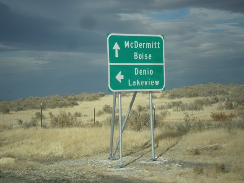
US-95 North at NV-140 West
US-95 north at NV-140 west to Denio and Lakeview (Oregon). Continue north on US-95 for McDermitt (Nevada-Oregon State Line) and Boise (Idaho).
I-80 East - Milemarker 52
Mile 52 on I-80 east. This type of mile marker appears throughout Lyon and portions of Pershing County along I-80 and are recent in 2017.
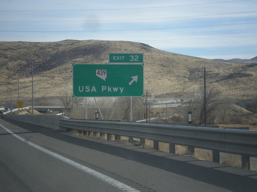
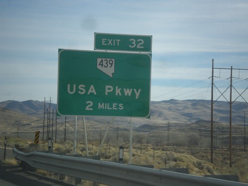
I-80 East - Exit 32
I-80 east at Exit 32 - NV-439/USA Parkway. USA Parkway was recently completed in 2017 and is a four lane highway that connects I-80 and US-50.
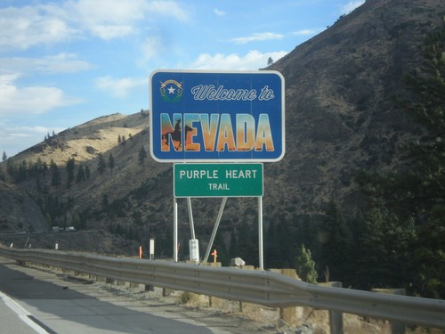
I-80 East - Welcome To Nevada
Welcome To Nevada on I-80 east at the California-Nevada state line. I-80 through Nevada is called the Purple Heart Trail. This sign is a new style of welcome sign.
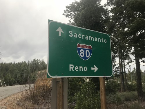
Approaching I-80 at Yuba Gap Interchange
Approaching I-80 at Yuba Gap Interchange. Use I-80 west for Sacramento; I-80 east for Reno (Nevada).
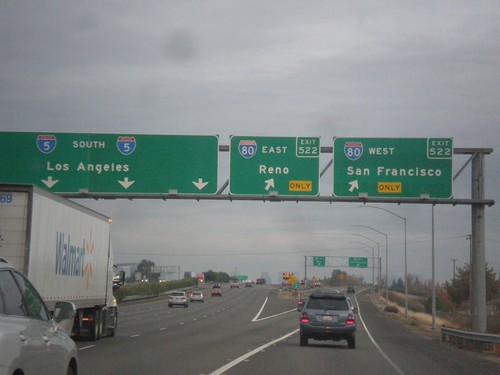
I-5 South - Exit 522
I-5 south at Exit 522 - I-80/San Francisco/Reno (Nevada). I-5 continues south to Los Angeles.
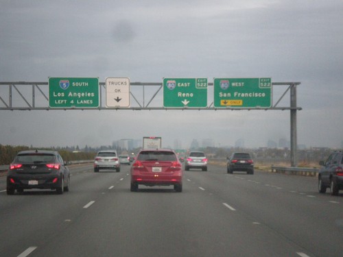
I-5 South - Exit 522
I-5 south approaching Exit 522 - I-80/Reno (Nevada)/San Francisco. Continue south along I-5 to Los Angeles.
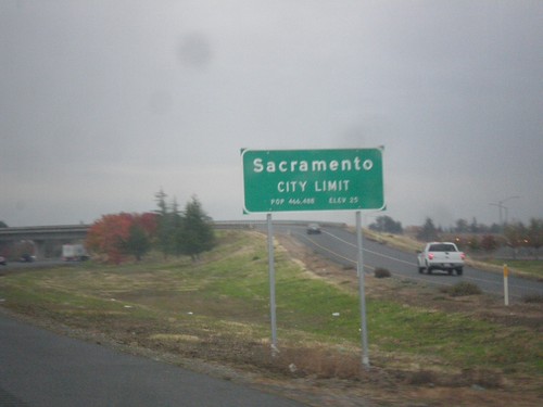
I-5 South - Entering Sacramento
Sacramento City Limit on I-5 south. Sacramento is the capital and the 6th largest city (according to 2010 census) in California.
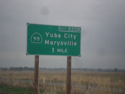
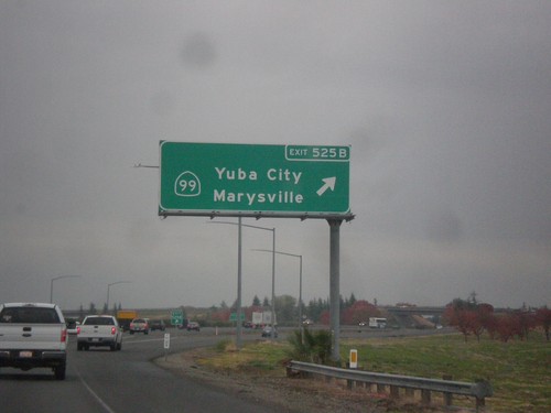
I-5 South Approaching Exit 525B
I-5 south approaching Exit 525B - CA-99 North/Yuba City/Marysville. CA-99 joins I-5 south to downtown Sacramento.
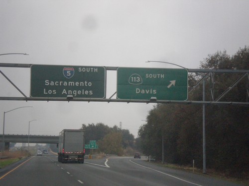
I-5 South - Exit 537
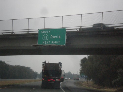
I-5 south at Exit 537 - CA-113 South/Davis. I-5 continues south towards Sacramento and Los Angeles. This is the first reference of Los Angeles as a control city along I-5 southbound.
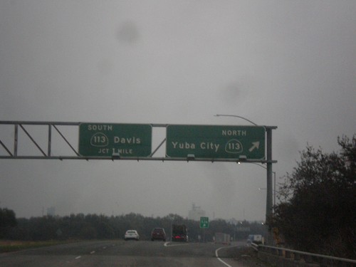
I-5 South - Exits 538 and 537
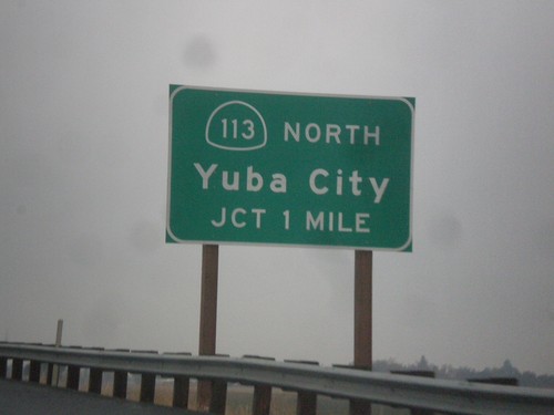
I-5 south at Exit 538 - CA-113 North/Yuba City and approaching Exit 537 - CA-113 South/Davis. CA-113 joins I-5 south for the next mile.
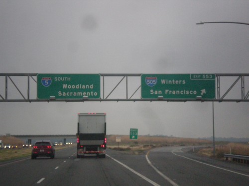
I-5 South at Exit 553
I-5 south at Exit 553 - I-505 South/Winters/San Francisco. Continue south on I-5 for Woodland and Sacramento.
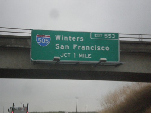
I-5 South - Exit 553
I-5 south approaching Exit 553 - I-505 South/Winters/San Francisco. I-505 is a short interstate connecting I-5 and I-80 at Vacaville.
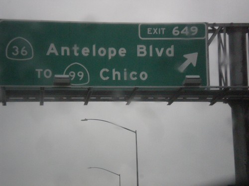
I-5 South - Exit 649
I-5 south at Exit 649 - CA-36/Antelope Blvd./To CA-99/Chico. This used to be the northern terminus of CA-99, but it was moved east of here to the CA-36 junction a few years back.
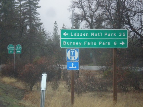
CA-299 West at CA-89
CA-299 west at CA-89 north to Burney Falls State Park, and south to Lassen National Park.
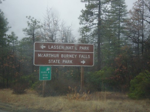
CA-299 West at CA-89
CA-299 west approaching CA-89 north to McArthur Burney Falls State Park, and south to Lassen National Park.
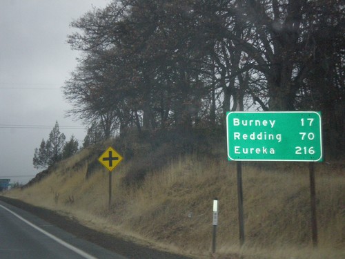
CA-299 West - Distance Marker
Distance marker on CA-299 west. Distance to Burney, Redding, and Eureka.
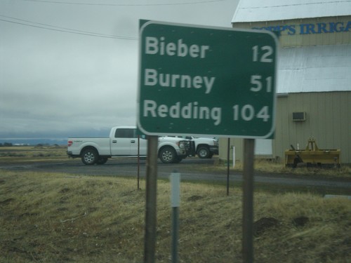
CA-299 West - Distance Marker
Distance marker on CA-299 west. Distance to Bieber, Burney, and Redding.
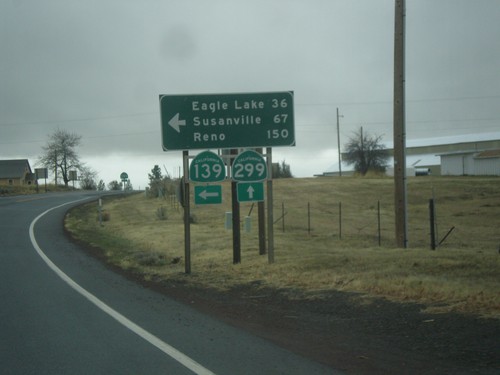
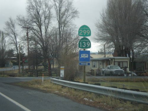
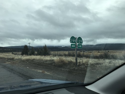
CA-139 South/CA-299 West at CA-139/CA-299 Split
CA-139 South/CA-299 West at CA-139/CA-299 Split. Turn left for CA-139 South to Eagle Lake, Susanville, and Reno (Nevada).
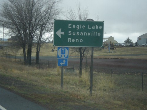
CA-139 South/CA-299 West Approaching CA-139/CA-299 Split
CA-139 South/CA-299 West Approaching CA-139/CA-299 split. Turn left for CA-139 south to Eagle Lake, Susanville, and Reno (Nevada).
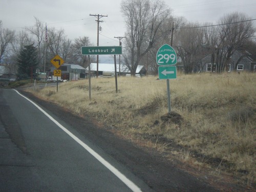
CA-139 South/CA-299 West - Lookout Jct.
CA-139 South/CA-299 West at Lookout Jct. Merge left to continue west on CA-299 (and south on CA-139).
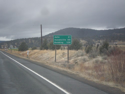
CA-139 South/CA-299 West - Distance Marker
Distance Marker on CA-139 South/CA-299 West. Distance to Adin, Susanville (via CA-139), and Redding (via CA-299).
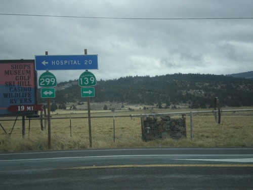
CA-139 South at CA-299
CA-139 South at CA-299. Turn left for CA-299 East and Hospital (in Alturas); turn right for CA-299 West/CA-139 South. CA-139 joins CA-299 west to Adin.
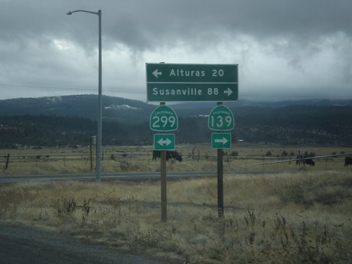
CA-139 South at CA-299
CA-139 South at CA-299. Turn left for CA-299 east to Alturas; right for CA-299 West/CA-139 South to Susanville.
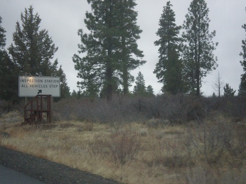
CA-139 South Approaching Inspection Station
CA-139 south approaching the Tulelake Agricultural Inspection Station.
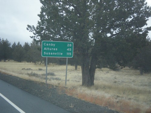
CA-139 South - Distance Marker
Distance marker on CA-139 south. Distance to Canby, Alturas, and Susanville.
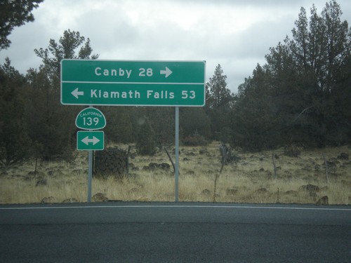
Forest Road 97 at CA-139
Forest Road 97 at CA-139 in Modoc County. Turn right for CA-139 south to Canby; left for CA-139 north to Klamath Falls (Oregon).
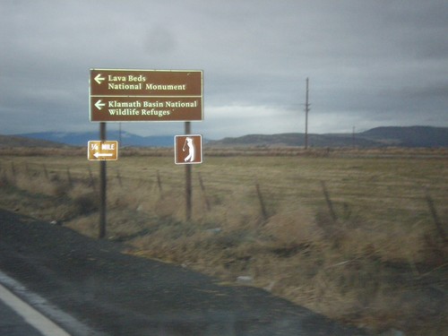
CA-161 West at Hill Road
CA-161 West at Hill Road. Turn left for Hill Road south to Lava Beds National Monument and Klamath Basin National Wildlife Refuge.
CA-161 West
CA-161 west shield. The Oregon-California line runs along CA-161 so that the north side of the highway is in Oregon.
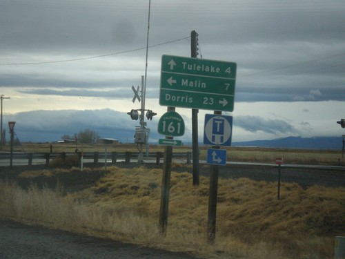
OR-39 South at CA-139 and CA-161
OR-39 south at CA-139 and CA-161. Turn right for CA-161 West to Dorris (California). Turn left on State Line Road to Malin (Oregon). Continue straight on CA-139 south to Tulelake (California). The California-Oregon state line runs along the CA-161 and State Line Road. OR-39 becomes CA-139 at the state line.
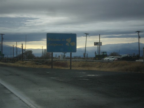
OR-39 South - Welcome To California
Welcome to California on OR-39 south. The Welcome to California sign is north of the Oregon-California line which runs along CA-161.
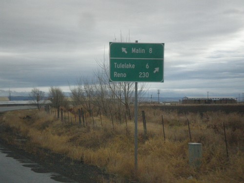
OR-39 South at Malin Jct.
OR-39 South at Malin Jct. Turn right to continue south on OR-39 for Tulelake (California) and Reno (Nevada). Continue ahead to for Malin. The Klamath Falls-Malin Highway continues towards Malin. OR-39 follows the Hatfield highway southbound.
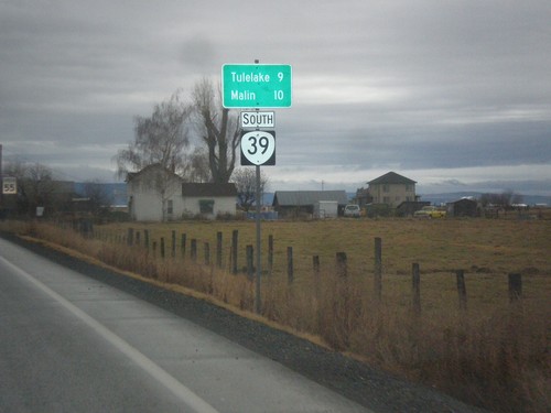
OR-39 South - Distance Marker
Distance marker on OR-39 south. Distance to Malin and Tulelake (California).
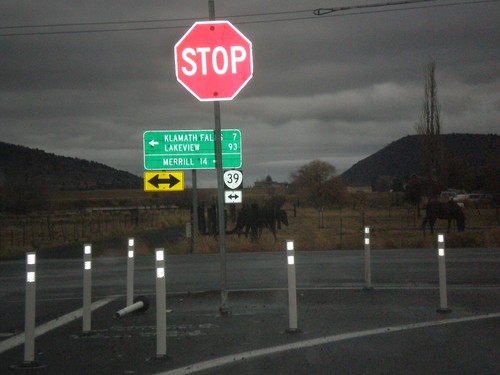
OR-140 East at OR-39
OR-140 East at OR-39 in Klamath County. Turn right for OR-39 south to Merrill. Turn left for OR-140 East (Unsigned)/OR-39 North to Klamath Falls and Lakeview.
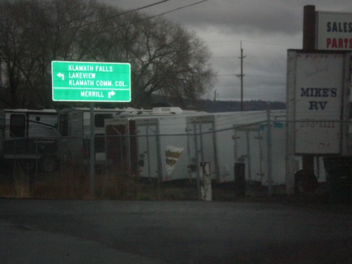
OR-140 West Approaching OR-39
OR-140 West approaching OR-39. Use OR-39 south for Merrill; use OR-39 North/OR-140 East for Klamath Falls, Lakeview, and Klamath Falls Community College. OR-140 east joins OR-39 north.
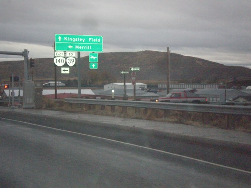
Washburn Way South at OR-140 East
Washburn Way South at OR-140 East. Use OR-140 east for OR-39 and Merrill. Continue south on Washburn Way for Kingsley Field.
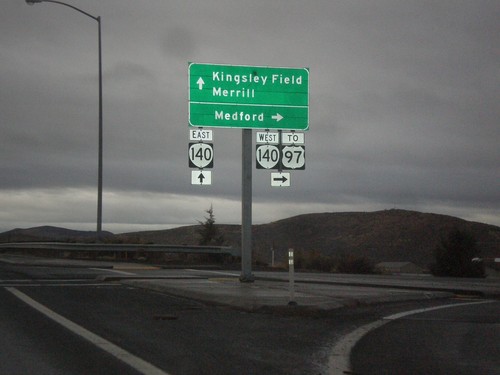
Washburn Way South at OR-140 West
Washburn Way south at OR-140 west to Medford, and US-97. Continue south on Washburn Way for Kingsley Field and Merrill.
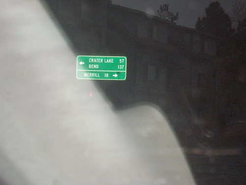
Main St. at OR-39
Main St. at OR-39 (Crater Lake Parkway) in Klamath Falls. Turn left for OR-39 north to Bend and Crater Lake (both via US-97). Turn right for OR-39 south to Merrill.
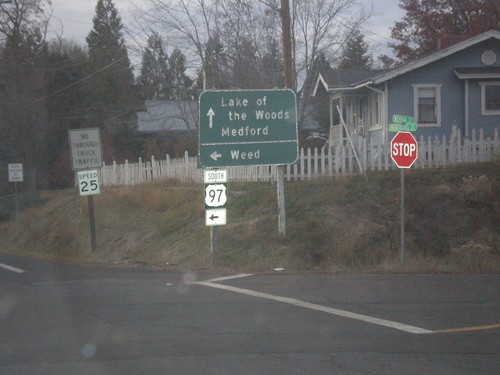
Oregon St. West at US-97 South
Oregon St. West at US-97 South to Weed (California). Continue west for Lake of the Woods and Medford (both via Lakeshore Drive and OR-140).
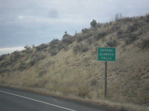
OR-39 North - Entering Klamath Falls
Entering Klamath Falls on OR-39 north. Klamath Falls is the county seat of Klamath County.
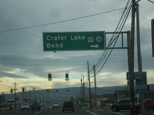
OR-39 North (6th St.) at Crater Lake Parkway
OR-39 North (6th St.) at Crater Lake Parkway. Turn right to continue north on OR-39 to US-97, Crater Lake, and Bend.
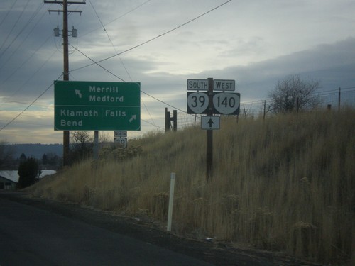
OR-140 West at OR-39
OR-140 west at OR-39 near Klamath Falls. Turn right for OR-39 north to Klamath Falls and Bend. Continue straight for OR-39 South/OR-140 West to Merrill (OR-39) and Medford (OR-140).
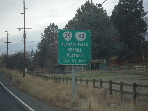
OR-140 West Approaching OR-39
OR-140 West Approaching OR-39 to Klamath Falls, Merril, and Medford. OR-140 joins OR-39 south.
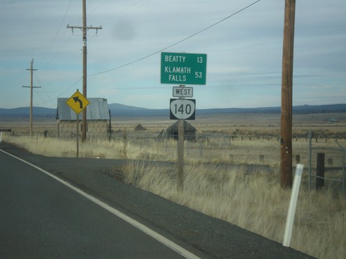
OR-140 West - Distance Marker
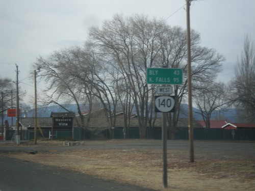
Distance Marker on OR-140 east leaving Bly. Distance to Beatty and Klamath Falls.
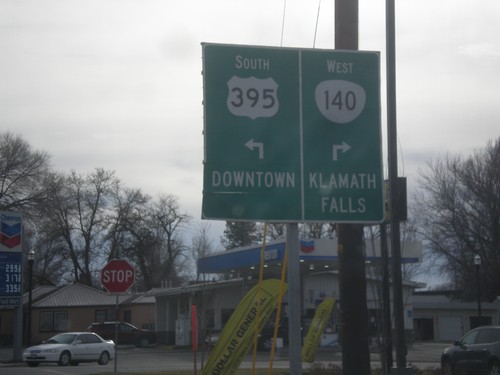
US-395 South/OR-140 West Approaching Split
US-395 South/OR-140 West approaching US-395/OR-140 split. Turn right for OR-140 west to Klamath Falls. Turn left for US-395 to Downtown (Lakeview).
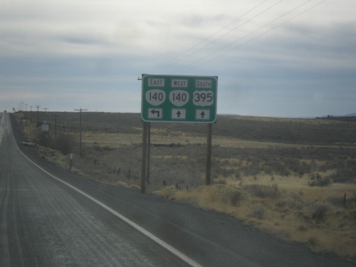
US-395 South Approaching OR-140
US-395 south approaching OR-140. OR-140 west joins US-395 south into Lakeview.
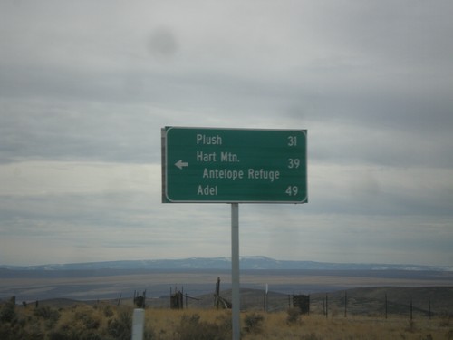
US-395 South - Hogback Road Jct.
US-395 South at Hogback Road Jct. Use Hogback Road for Plush, Hart Mountain Antelope Refuge, and Adel.
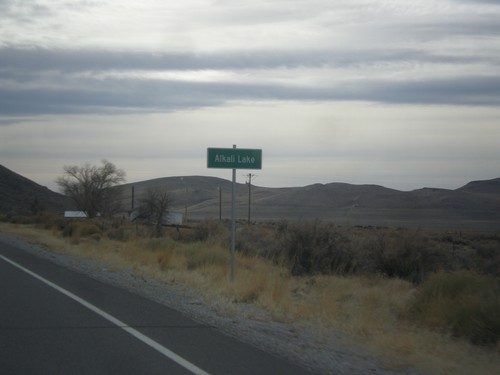
US-395 South - Alkali Lake
Entering Alkali Lake on US-395 south. Alkali Lake is home to a state rest area and a state highway maintenance station.
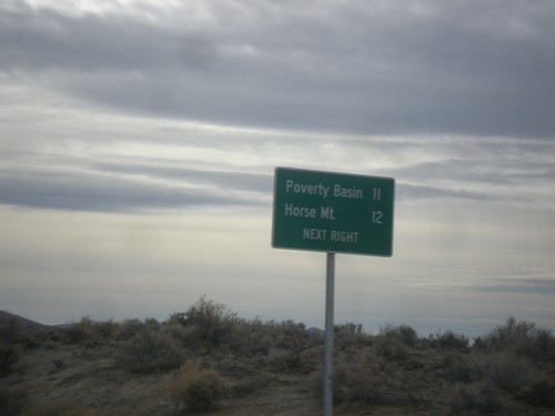
US-395 South - Horse Mountain Road
US-395 South approaching Horse Mountain Road to Horse Mountain and Poverty Basin.
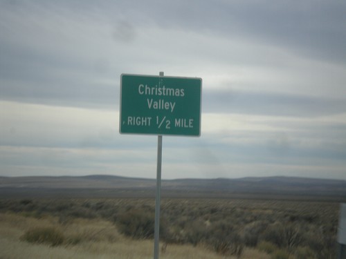
US-395 South Approaching Christmas Valley Junction
US-395 South approaching Christmas Valley junction in Lake County.
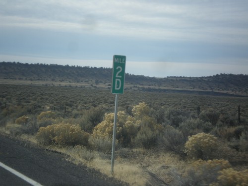
US-395 South - Milepost 2D
Milepost 2D on US-395 south. These types of mileposts have been appearing in Oregon in recent years. The letters represent the segment of the internal highway that this particular stretch is part of. In this case the D is the 4th named highway along US-395 south from the Washington line. (A=Umatilla-Stanfield, B=Pendleton-John Day, C=John Day Burns, D=Lakeview-Burns, E=Fremont).
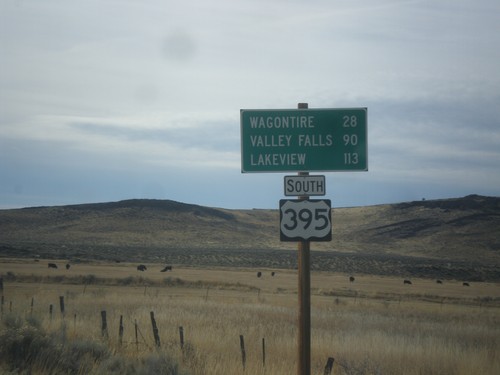
US-395 South - Distance Marker
Distance marker on US-395 south. Distance to Wagontire, Valley Falls, and Lakeview.
