Signs From February 2018
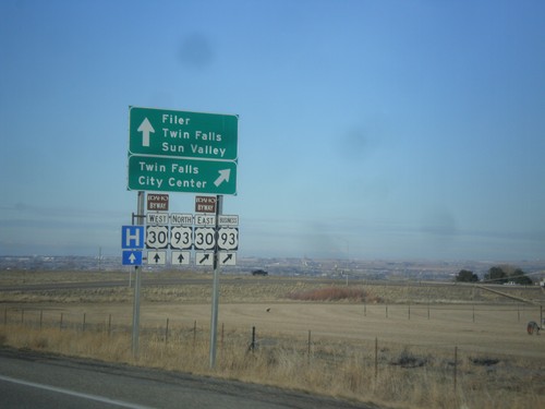
US-93 North at US-30/Bus. US-93
US-93 North at US-30/Bus. US-93 in Twin Falls County. Merge right for Bus. US-93 North/US-30 East to Twin Falls City Center. Continue under overpass for US-93 north to Twin Falls and Sun Valley and for US-30 west to Filer. US-30 is part of the Thousand Springs Scenic Byway.
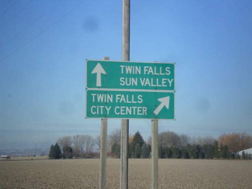
US-93 North Approaching ID-74
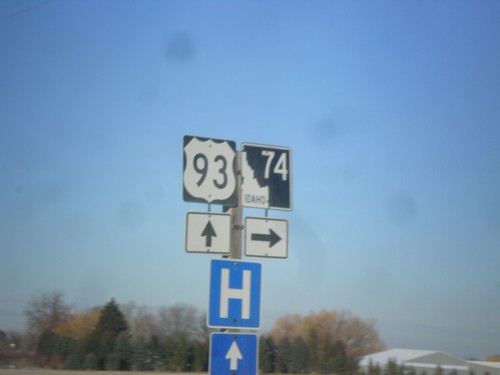
US-93 north approaching ID-74. Use ID-74 north for Twin Falls City Center. Continue north on US-93 for Twin Falls and Sun Valley.
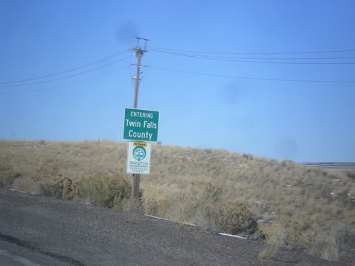
US-93 North - Entering Twin Falls County
Entering Twin Falls County on US-93 north. Taken just north of the Idaho-Nevada line.
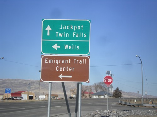
US-93 North at BL-80 and NV-233
US-93 North at BL-80 and NV-233. Turn left on BL-80/NV-233 for Wells and the Emigrant Trail Center. Continue north on US-93 for Jackpot and Twin Falls (Idaho).
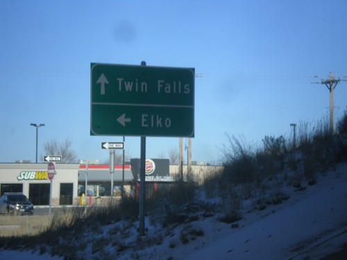
US-93 North at I-80 West
US-93 north at I-80 west (Exit 352). Turn right for I-80 west to Elko. Continue straight for US-93 north to Twin Falls (Idaho).
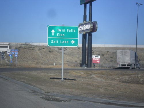
US-93 North at I-80
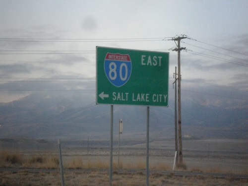
US-93 north at I-80 (Exit 352). Use I-80 east for Salt Lake. Use I-80 west for Elko. Continue north on US-93 for Twin Falls.
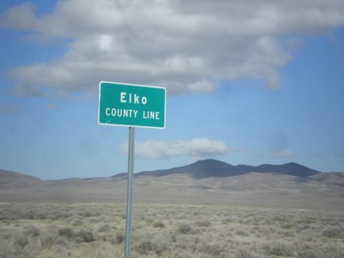
US-93 North - Elko County
Entering Elko County on US-93 north. Elko County is the fourth largest county by area in the lower 48 states.
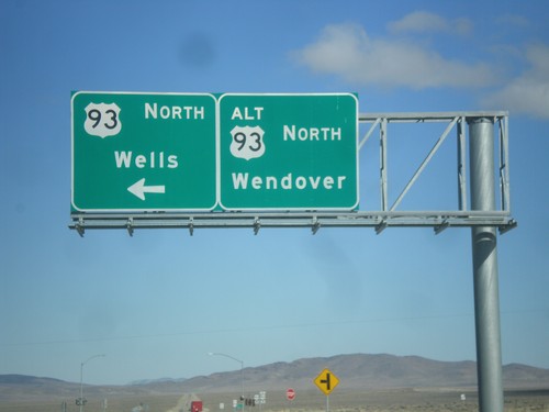
US-93 North at US-93 Alt. North
US-93 North at US-93 Alt. North. Continue straight for US-93 Alt. north to Wendover; turn left for US-93 north to Wells.
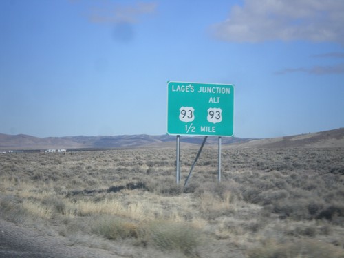
US-93 North Approaching Lages Junction
US-93 North approaching Lages Junction - US-93/Alt. US-93 Jct.
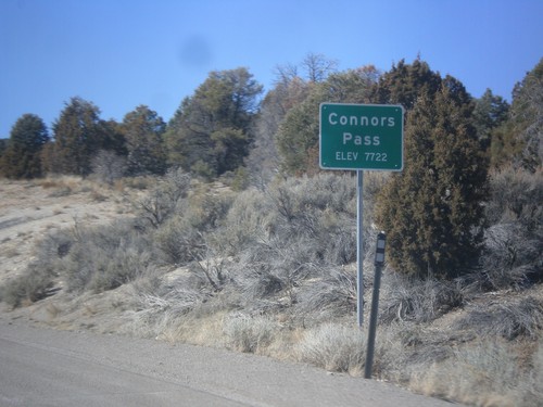
US-6/US-50 West/US-93 North - Connors Pass
US-6/US-50 West/US-93 North at Connors Pass - Elevation 7722 Feet. Connors Pass is a summit in the Schell Creek Range.
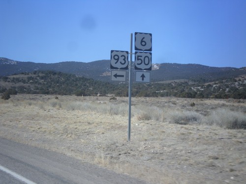
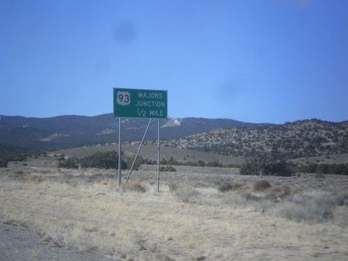
US-50/US-6 West at US-93 - Majors Junction
US-50/US-6 West at US-93 - Majors Junction. Turn left for US-93 south; continue straight for US-6/US-50 West/US-93 north.
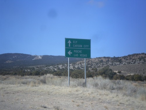
US-6/US-50 West Approaching US-93
US-6/US-50 West approaching US-93. Use US-93 south for Pioche and Las Vegas. Continue on US-6/US-50 West and US-93 North for Ely and Carson City (via US-50). US-93 joins US-6 and US-50 north to Ely.
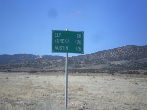
US-6/US-50 West - Distance Marker
Distance marker on US-6/US-50 west. Distance to Ely, Eureka, and Austin.
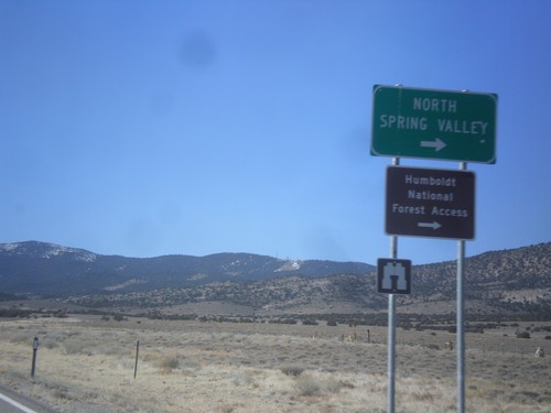
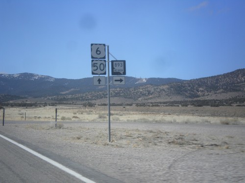
US-6/US-50 West Approaching NV-893
US-6/US-50 West approaching NV-893 to North Spring Valley and Humboldt National Forest access.
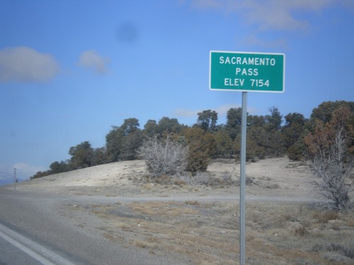
US-6/US-50 West - Sacramento Pass
Sacramento Pass on US-6/US-50 West - Elevation 7154 Feet. Sacramento Pass is a summit in the Snake Range.
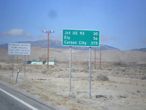
US-6/US-50 West - Distance Marker
Distance Marker on US-6/US-50 west. Distance to Jct. US-93, Ely, and Carson City (via US-50).
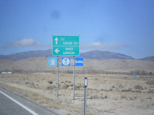
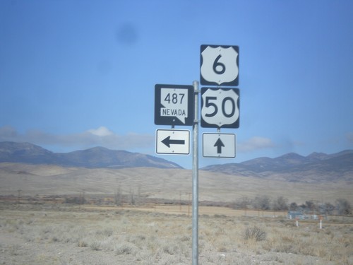
US-6/US-50 West at NV-487
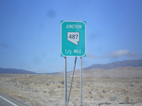
US-6/US-50 West at NV-487 east to Baker and Garrison (Utah). Continue east on US-6/US-50 for Ely and Carson City (via US-50).
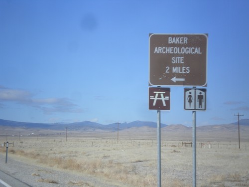
US-6/US-50 West - Baker Cut Off
US-6/US-50 West at Baker Cut Off. Turn left for Baker Archeological Site.
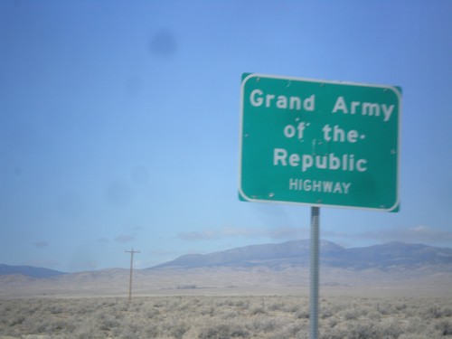
US-6/US-50 West - Grand Army of the Republic Highway
Grand Army of the Republic Highway on US-6/US-50 West. US-6 is designated as the Grand Army of the Republic Highway nationally.
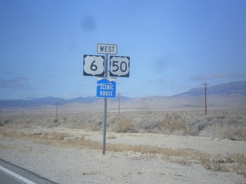
US-6/US-50 West - White Pine County
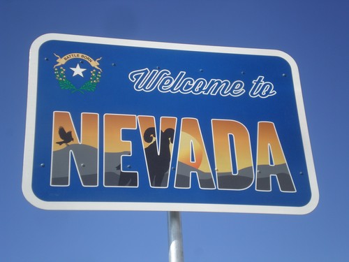
First US-6/US-50 west shields in Nevada. US-6/US-50 is part of a Nevada scenic route between the Utah-Nevada state line to Ely.
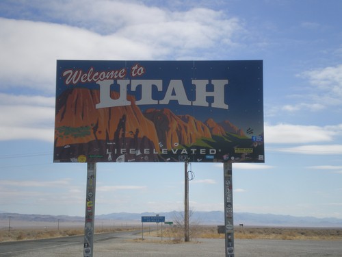
US-6/US-50 East - Welcome to Utah
Welcome to Utah on US-6/US-50 East. Taken at the Border Inn on the Utah-Nevada border.
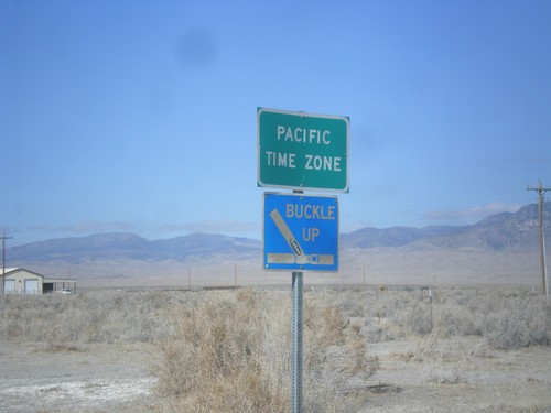
US-6/US-50 West - Pacific Time Zone
Entering Pacific Time Zone at the Nevada-Utah state line on US-6/US-50 west.
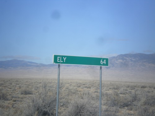
US-6/US-50 West - Distance Marker
Distance marker on US-6/US-50 West. Distance to Ely (Nevada). This is the last distance marker along US-6/US-50 west in Utah.
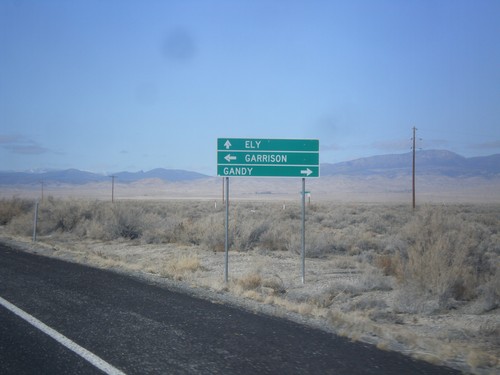
US-6/US-50 West Approaching UT-159
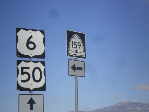
US-6/US-50 West approaching UT-159 south to Garrison. Turn right for county road north to Gandy. UT-159 parallels the Utah-Nevada border and connects with UT-21 at Garrison.
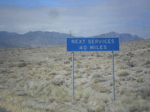
US-6/US-50 West - Next Services 40 Miles
US-6/US-50 West - Next Services 40 Miles in Millard County. The next services are at the Border Inn at the Utah-Nevada state line.
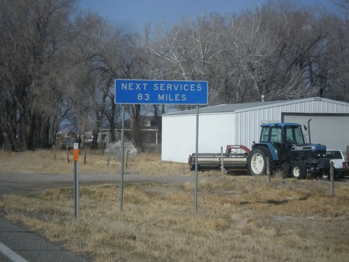
US-6/US-50 West - Next Services 83 Miles
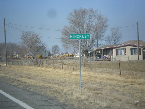
US-6/US-50 West - Next Services 83 Miles in Hinckley. The next services are at the Utah-Nevada State Line.
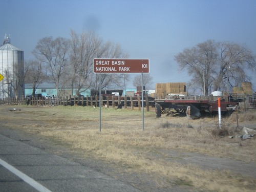
US-6/US-50 West - Distance Marker
Distance marker on US-6/US-50 west. Distance to Great Basin National Park. Great Basin National Park is in Baker, Nevada.
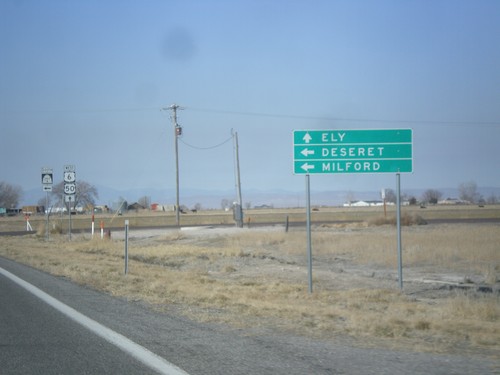
US-6/US-50 West at UT-257 South
US-6/US-50 West at UT-257 South to Milford and Deseret. Continue west on US-6/US-50 for Ely (Nevada).
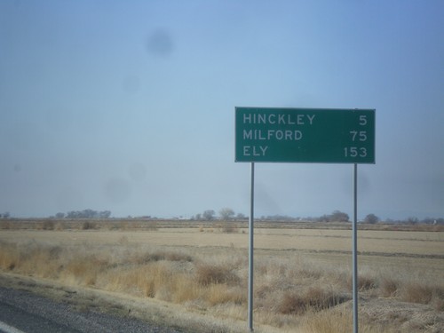
US-6/US-50 West - Distance Marker
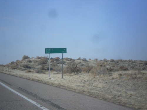
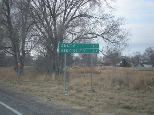
Distance marker on US-6/US-50 west. Distance to Hinckley, Milford (via UT-257), and Ely (Nevada).
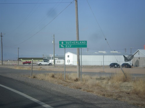
US-6/US-50 West - 1000 West
US-6/US-50 West at 1000 West to Sutherland. Merge left to continue west to US-6/US-50 to Ely (Nevada).
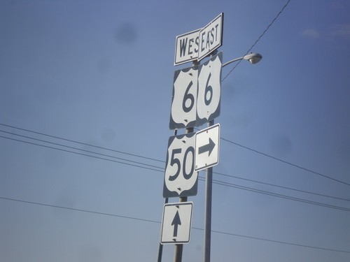
US-50 West at US-6
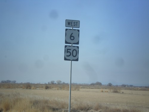
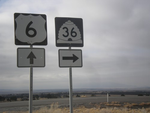
US-50 West at US-6. Turn right for US-6 east; continue straight for US-6/US-50 west.
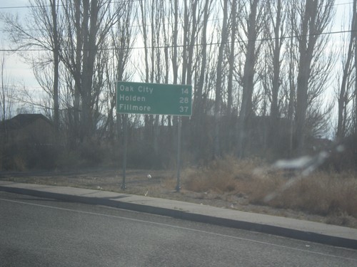
US-50 East - Distance Marker
Distance marker on US-50 east. Distance to Oak City, Holden, and Fillmore.
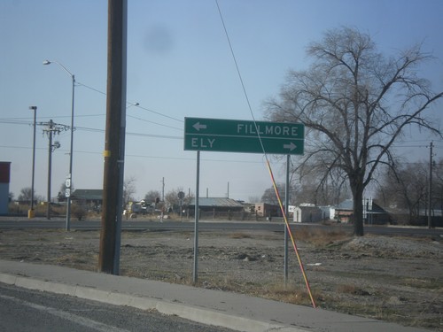
US-6 West Approaching US-50 in Delta
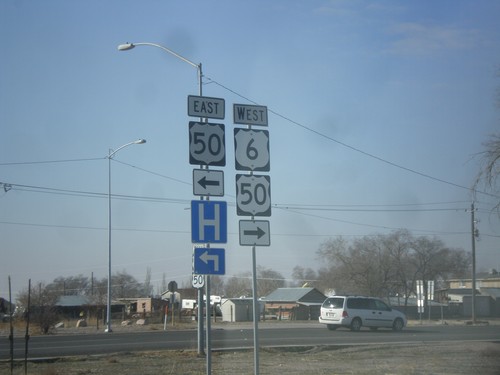
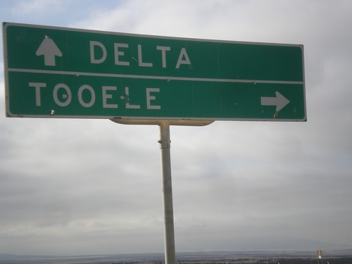
US-6 West approaching US-50 in Delta. Turn right for US-6/US-50 West to Ely (Nevada); turn left for US-50 East to Fillmore. US-50 joins US-6 westbound to Ely.
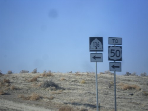
US-6 West at UT-136 To US-50 (East)
US-6 West at UT-136 To US-50 (East). For US-50 west continue west along US-6 into Delta.
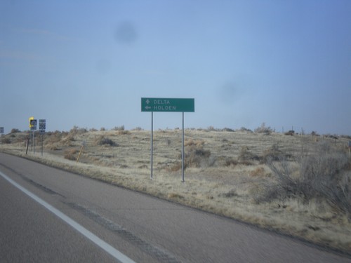
US-6 West Approaching UT-136
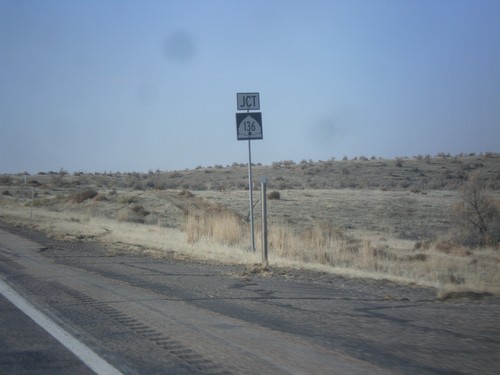
US-6 West approaching UT-136 west to Holden. Continue west on US-6 to Delta.
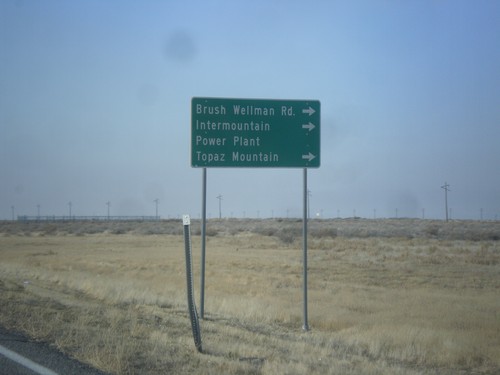
US-6 West Approaching UT-174
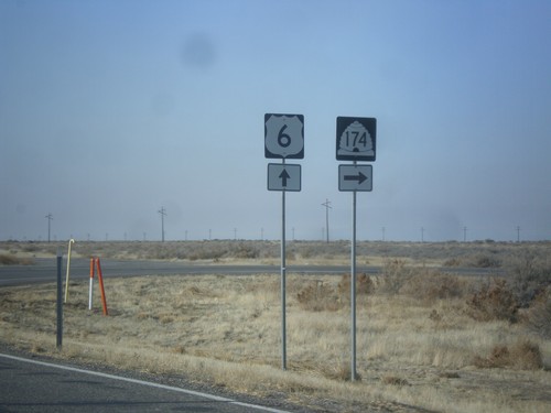
US-6 West approaching UT-174/Brush Wellman Road to Intermountain Power Plant, and Topaz Mountain.
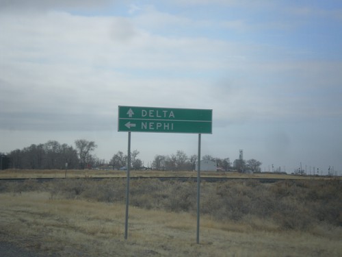
US-6 West Approaching UT-132
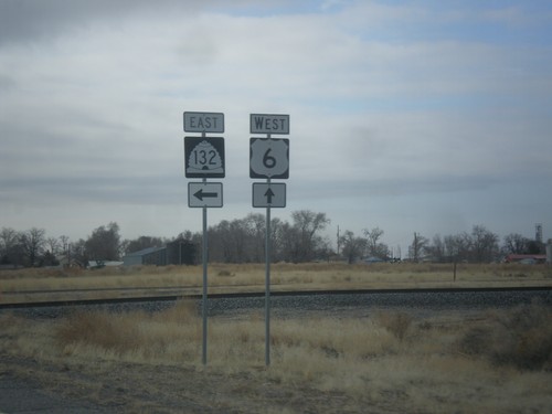
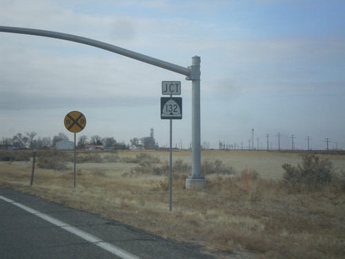
US-6 West approaching UT-132 east to Nephi. Continue west on US-6 for Delta.
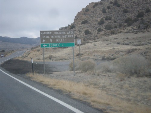
US-6 West - Bergen Jct.
US-6 West at Bergen Jct. Continue west on US-6 for National Historic Area/Tintic Mining District.
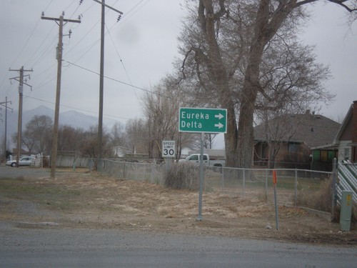
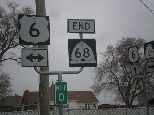
End UT-68 South at US-6
End UT-68 south at US-6 in Elberta. Turn right on US-6 west for Eureka and Delta.
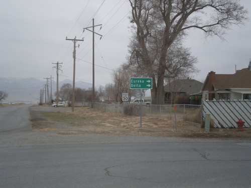
End UT-68 South at US-6
End UT-68 south at US-6 in Elberta. Turn right on US-6 west for Eureka and Delta.
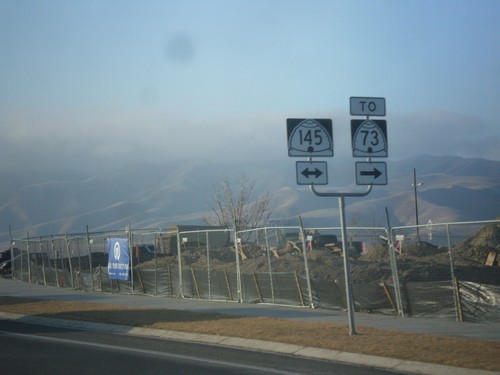
UT-68 South at UT-145 (Pioneer Crossing)
UT-68 South at UT-145 (Pioneer Crossing). Turn right on UT-145 for access to UT-73.
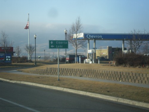
UT-68 South at West 8570 North to Lehi
UT-68 South at West 8570 North to Lehi. Continue south on UT-68 to Elberta.
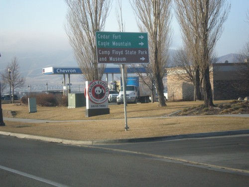
UT-68 South at West 8750 North
UT-68 South at West 8750 North to Cedar Fort, Eagle Mountain, and Camp Floyd State Park and Museum.
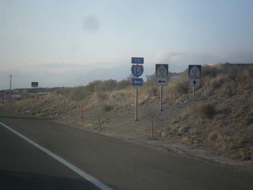
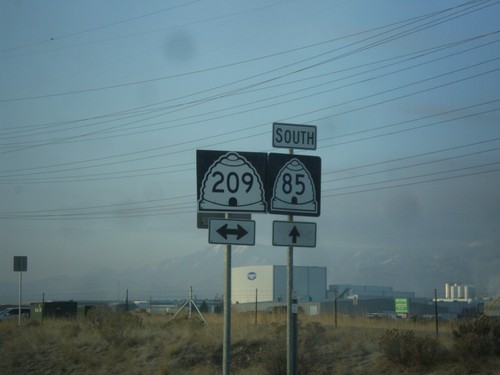
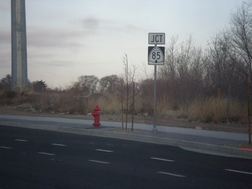
UT-68 South at UT-85 South to I-15
UT-68 South at UT-85 South to I-15. This stretch of UT-85 between UT-68 and I-15 at Lehi is the southern part of the Mountain View Corridor.
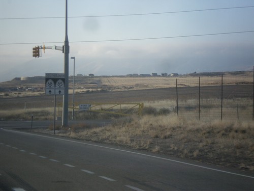
UT-68 (Redwood Road) South/UT-85 South
UT-68 (Redwood Road) South/UT-85 South at the north end of the expressway section of UT-85 between I-15 and UT-68. Continue south on UT-68/UT-85 for the southbound expressway.
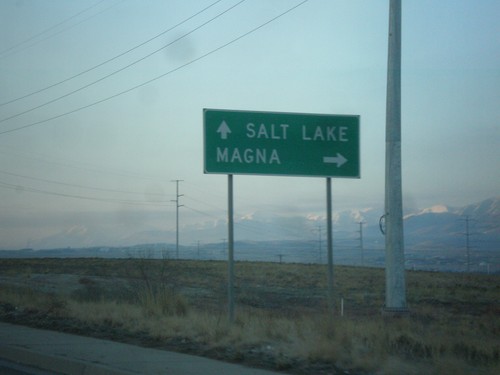
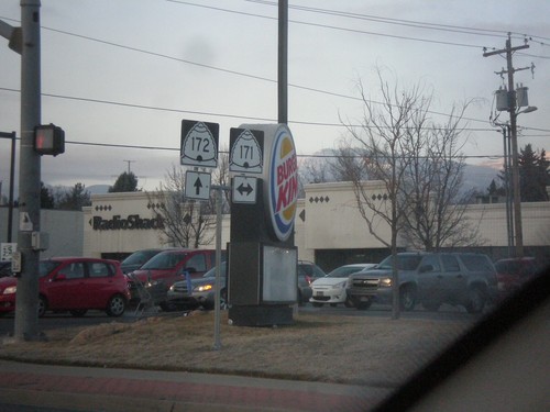
UT-172 South Approaching UT-201
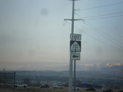
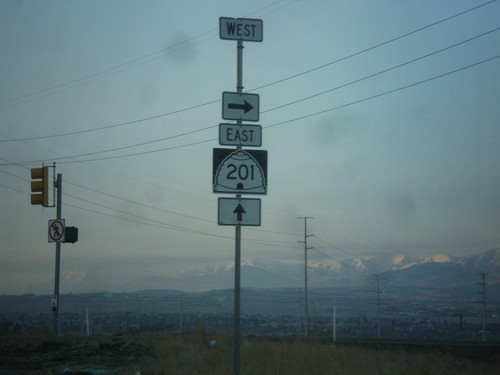
UT-172 South approaching UT-201. Use UT-201 west to Magna; UT-201 east to Salt Lake.
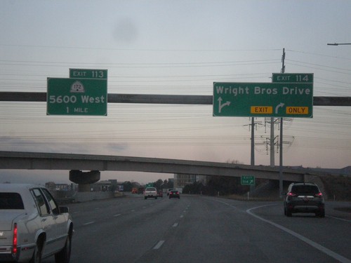
I-80 West - Exits 114 and 113
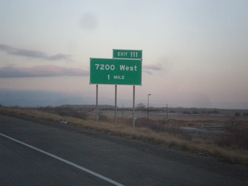
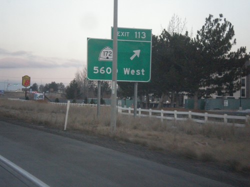
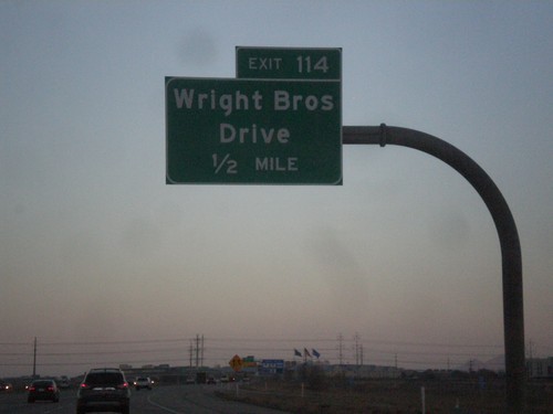
I-80 West at Exit 114 - Wright Brothers Drive and approaching Exit 113 - UT-172/5600 West.
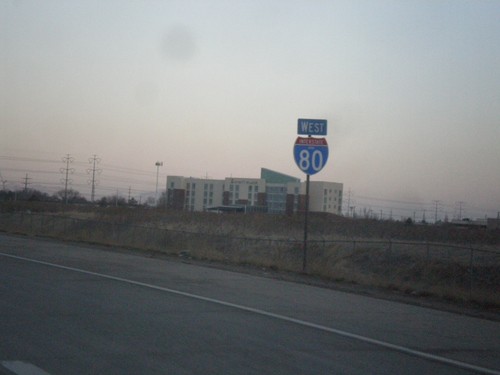
I-80 West - Salt Lake City
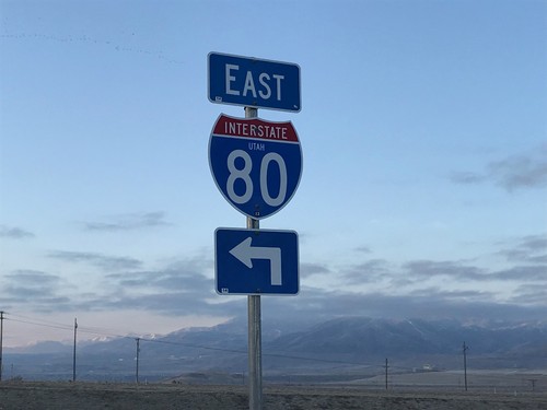
I-80 West on the western edge of Salt Lake City. The I-80 shield has the Utah state name in it.
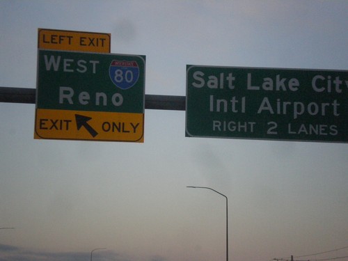
North Temple at I-80 West
North Temple at I-80 West/Reno. Continue west on North Temple for Salt Lake City Airport.
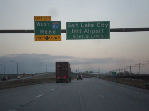
North Temple Approaching I-80 and SLC Airport Interchange
North Temple Approaching I-80 West/Reno. Continue west on North Temple to Salt Lake City Airport.
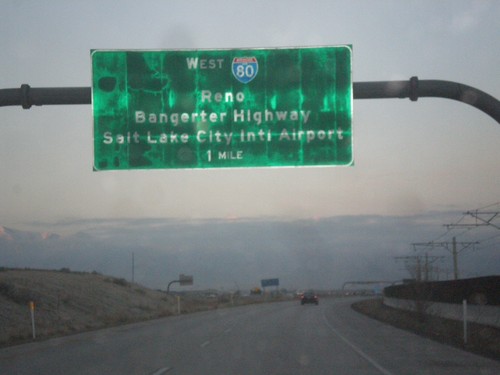
North Temple Approaching I-80
North Temple approaching I-80 West to Reno in Salt Lake City. Approaching interchange with I-80, Bangerter Highway, and Salt Lake City International Airport.
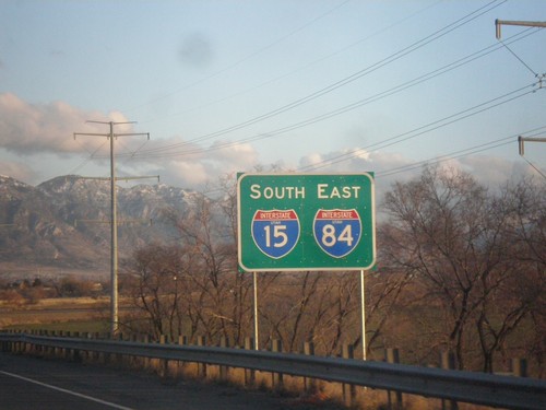
I-15 South/I-84 East - Tremonton
I-15 South/I-84 East in Tremonton. These types of signs are common along I-15/I-84 between Tremonton and Ogden.
