Signs From April 2018
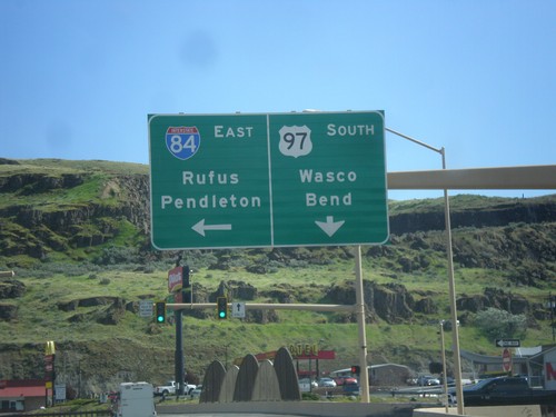
US-97 South at I-84/US-30 East (Exit 104)
US-97 south at I-84/US-30 East (Exit 104) junction. Turn left on I-84/US-30 east for Rufus and Pendleton. Continue south on US-97 for Wasco and Bend.
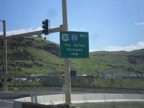
US-97 South at I-84/US-30 West
US-97 north at I-84/US-30 West (Exit 104). Turn right for I-84/US-30 west to The Dalles and Portland. The Columbia River and the hills of Washington state are in the background of this photograph.
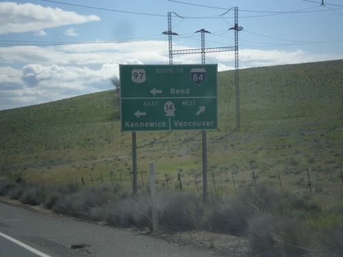
US-97 South at WA-14
Turn right for WA-14 West to Vancouver. Turn left for WA-14 East to Kennwick and US-97 South/To I-84 to Bend (Oregon). US-97 south joins WA-14 east for a short distance.
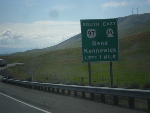
US-97 South Approaching WA-14
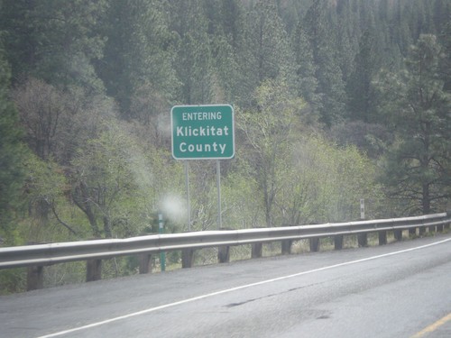
US-97 South approaching WA-14 in Klickitat County. Use US-97 South/WA-14 East to Bend (Oregon - via US-97) and Kennewick (via WA-14).
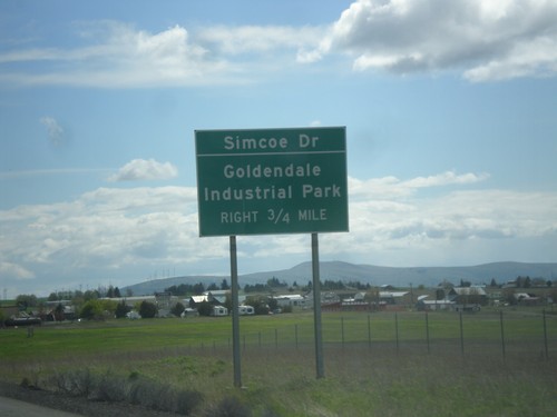
US-97 South Approaching Simcoe Road
US-97 South approaching Simcoe Road to Goldendale Industrial Park.
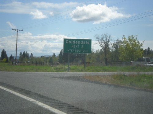
US-97 South - Goldendale Intersections
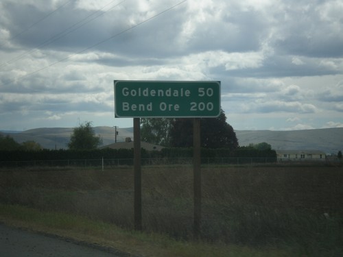
Goldendale - Next 2 Intersections on US-97 south. Goldendale is the county seat of Klickitat County.
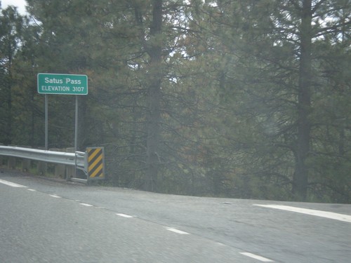
US-97 South - Satus Pass
Satus Pass - Elevation 3107 Feet on US-97 south. Satus Pass is a summit in the Simcoe Mountains.
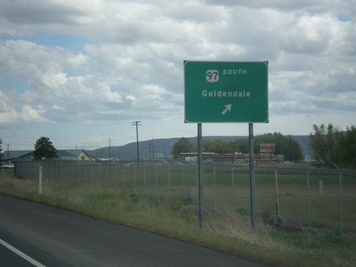
US-97 South at WA-22
US-97 South at WA-22 junction. Turn right to continue south on US-97 to Goldendale.
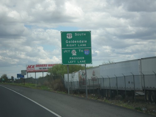
US-97 South Approaching WA-22
US-97 South approaching WA-22. Turn left on WA-22 West for Prosser and I-82. Turn right to continue south on US-97 towards Goldendale. Continue straight on the Yakima Valley Highway for WA-22 east.
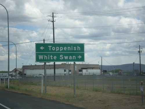
US-97 South - Fort Road Jct.
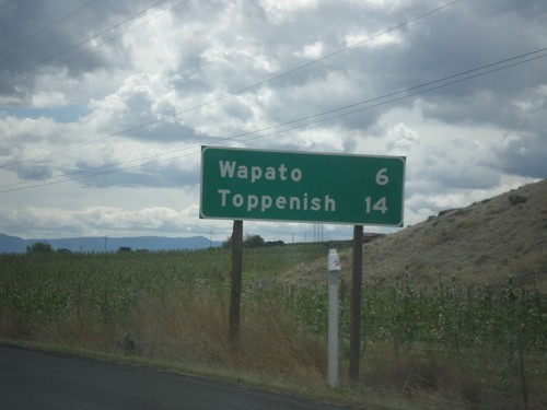
US-97 South at Fort Road Jct. Turn right for White Swan; left for Toppenish.
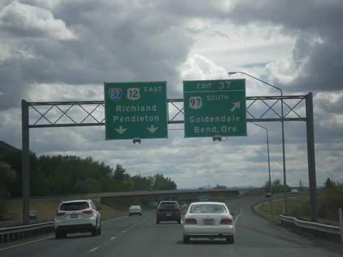
I-82 East - Exit 37
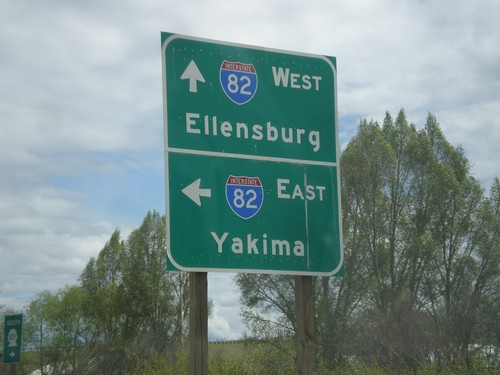
I-82 east at Exit 37 - US-97 South/Goldendale/Bend, Ore. US-97 joins I-82 west to I-90 near Ellensburg. I-82/US-12 East overhead to Richland and Pendleton (Oregon).
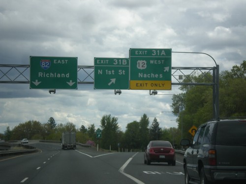
I-82 East - Exits 31A and 31B
I-82 east at Exits 31B - N 1st St. and Exit 31A - US-12 West/Naches. Continue east on I-82 for Richland. US-12 joins I-82 eastbound here to Richland.
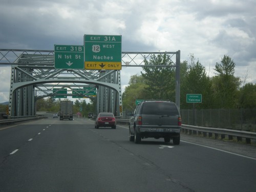
I-82 East - Exits 31B and 31A - Entering Yakima
Entering Yakima on I-82 east crossing the Yakima River bridge. Approaching Exit 31B - N 1st St. and Exit 31A - US-12 West/Naches.
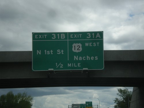
I-82 East - Exits 31B and 31A
I-82 east approaching Exit 31B - N 1st St. and approaching Exit 31A - US-12 West/Naches. US-12 joins I-82 eastbound to Richland.
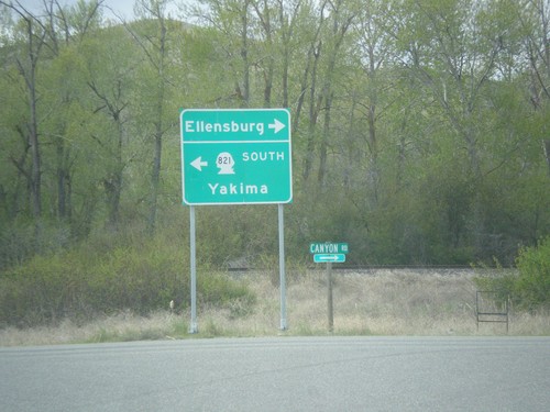
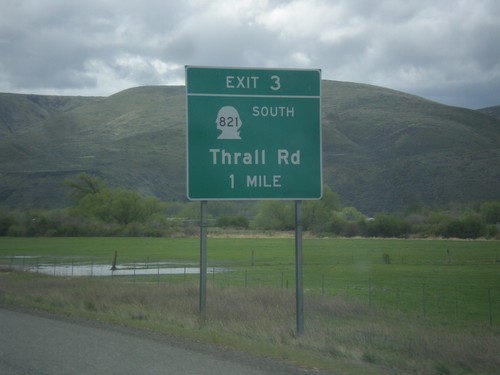
WA-821 South - Thrall Road at Canyon Road
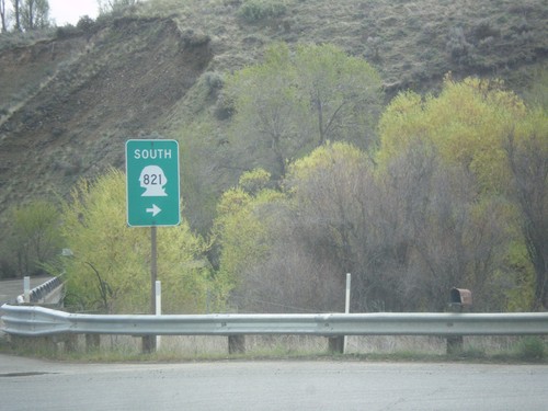
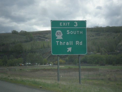
WA-821 South (Thrall Road) at Canyon Road. Turn left on Canyon Road to continue south on WA-821 and Yakima. Turn right for Ellensburg.
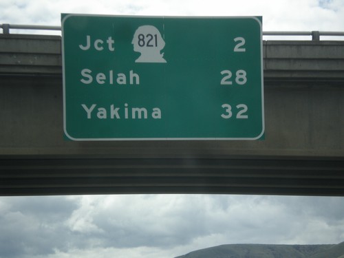
I-82 South - Distance Marker
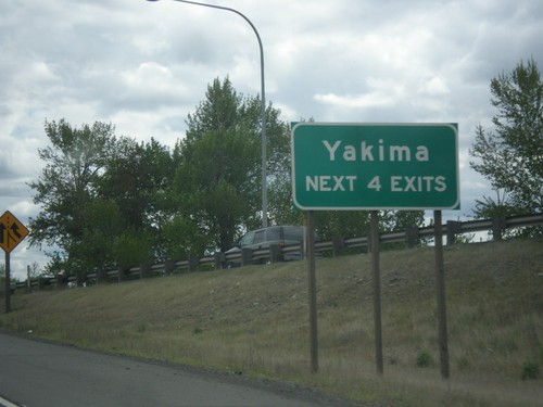
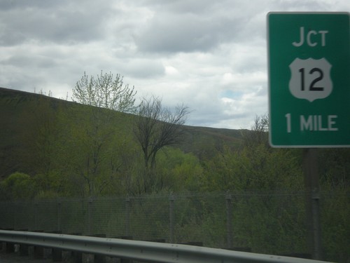
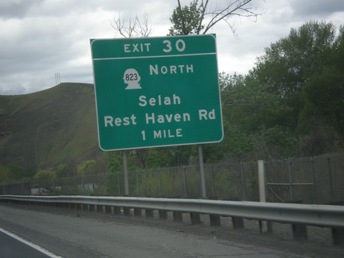
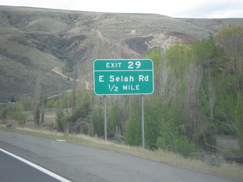
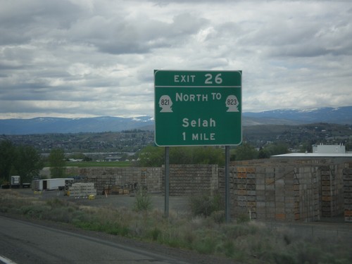
Distance marker on I-82 south. Distance to Jct. WA-821, Selah, and Yakima.
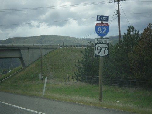
I-82 East/US-97 South - Kittitas County
I-82 East/US-97 South - Kittitas County. This is the first I-82 shield on I-82 eastbound.
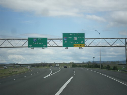
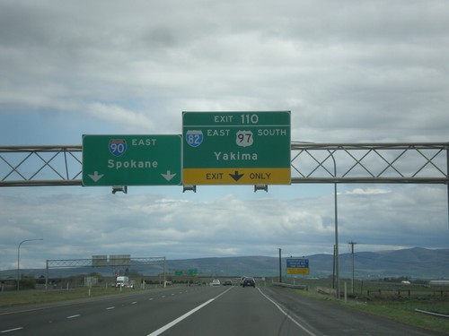
I-90 East - Exit 110
I-90 east at Exit 110 - I-82 East/US-97 South/Yakima. Continue east on I-90 for Spokane. US-97 south leaves I-90 eastbound here. This is the western end of I-82.
I-90 East - Exit 110
I-90 east approaching Exit 110 - I-82 East/US-97 South/Yakima. Continue east on I-90 for Spokane. US-97 south leaves I-90 eastbound here. This is the western end of I-82.
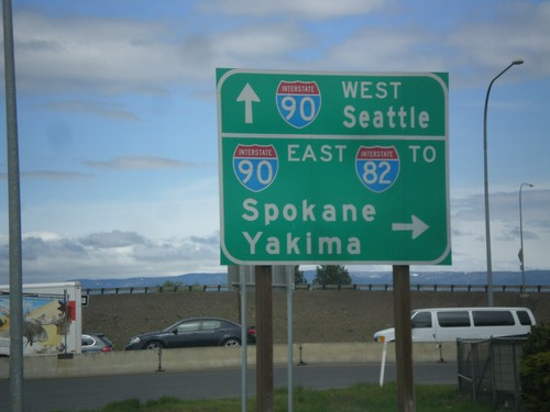
Canyon Road North at I-90
Canyon Road North at I-90 in Ellensburg. Turn right for I-90 East/To I-82/Spokane/Yakima. Continue under the freeway for I-90 West/Seattle.
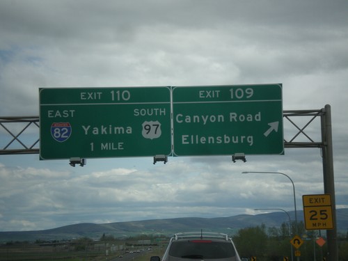
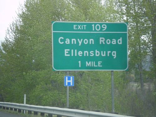
I-90 East - Exits 109 and 110
I-90 east at Exit 109 - Canyon Road/Ellensburg. Approaching Exit 110 - I-82 East/US-97 South/Yakima.
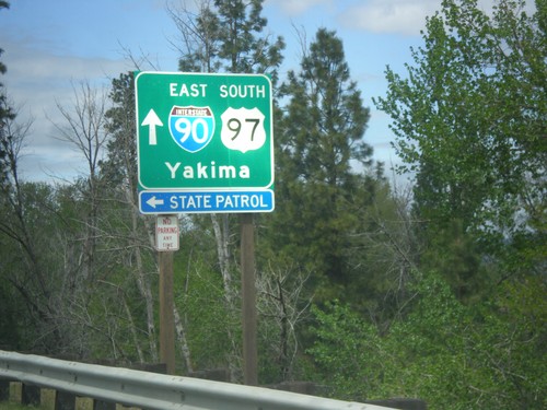
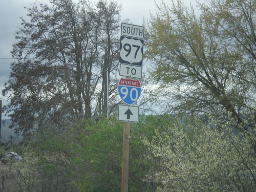
US-97 South at I-90 East
US-97 South at I-90 East towards Yakima in Ellensburg. Turn left for (Washington) State Patrol. US-97 south joins I-90 east through Ellensburg.
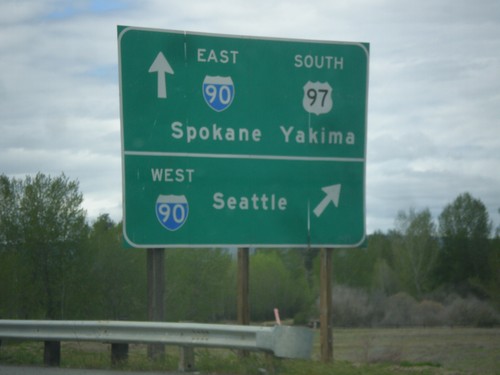
US-97 South at I-90
US-97 South at I-90 in Ellensburg. Turn right for I-90 West to Seattle. Continue over freeway for I-90 East to Spokane and US-97 South to Yakima. US-97 southbound joins I-90 east through Ellensburg.
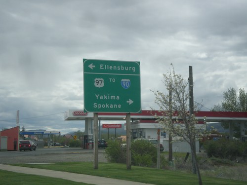
US-97 South at University Way
US-97 south at University Way in Ellensburg. Turn right on University Way for US-97 South To I-90, Yakima, and Spokane. Turn left for Ellensburg.
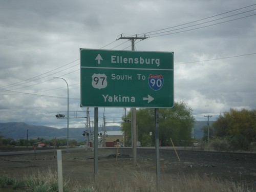
US-97 South at Faust Road
US-97 South at Faust Road in Ellensburg. Turn right to continue south on US-97 towards I-90 and Yakima. Continue straight on Old Highway 10 for Ellensburg.
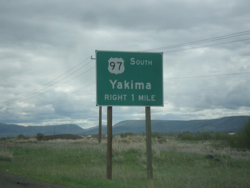
US-97 South In Ellensburg
US-97 South In Ellensburg approaching Faust Road. Turn right on Faust Road to continue south on US-97 towards Yakima.
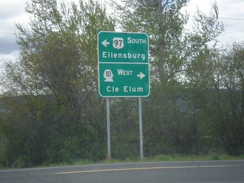
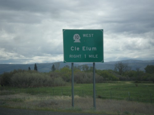
US-97 South at WA-10
US-97 South at WA-10 in Kittitas County. Turn right for WA-10 west to Cle Elum; left to continue south on US-97 to Ellensburg.
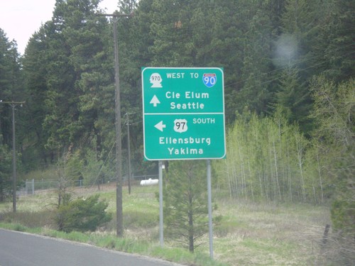
US-97 South at WA-970 (To I-90)
US-97 South at WA-970 in Kittitas County. Use WA-970 West for I-90, Cle Elum, and Seattle. Turn left to continue south on US-97 towards Ellensburg and Yakima.
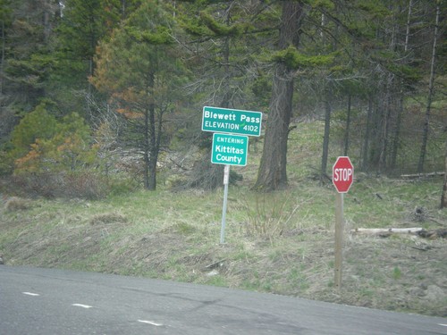
US-97 South - Blewett Pass
US-97 South at Blewett Pass - Elevation 4102 Feet. Entering Kittitas County. Blewett Pass is at the summit of the Wenatchee Mountains.
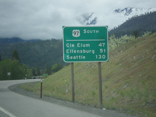
US-97 South - Distance Marker
Distance Marker on US-97 south. Distance to Cle Elum (via WA-970), Ellensburg, and Seattle (via WA-970 and I-90). This type of distance marker with the route name on top is not typical in Washington.
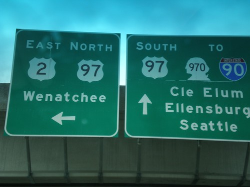
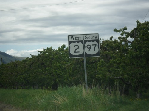
US-97 South at US-2/US-97 Jct.
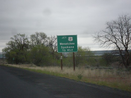
US-97 South at US-2/US-97 Jct. Continue south for US-97/To I-90/To WA-970 to Cle Elum, Ellensburg, and Seattle. Turn left for US-2 East/US-97 North onramp to Wenatchee. US-97 south leaves US-2 westbound here.
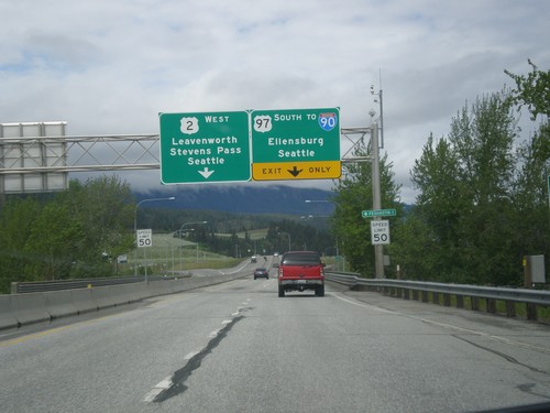
US-2 West/US-97 South At US-2/US-97 Split
US-2 West/US-97 South at the US-2/US-97 split. Use US-97 South to I-90/Ellensburg/Seattle (via Snoqualmie Pass). Use US-2 West to Leavenworth, Stevens Pass and Seattle (via Stevens Pass).
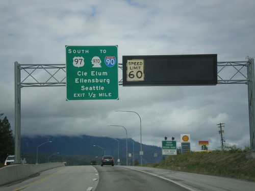
US-2 West/US-97 South Approaching US-2/US-97 Split
US-2 West/US-97 South approaching US-2/US-97 Split. Use US-97 south for WA-970/I-90 to Cle Elum, Ellensburg, and Seattle. A variable speed limit sign shows the speed as 60 MPH.
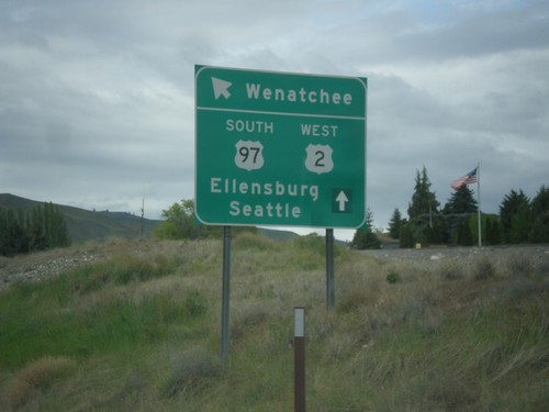
US-2 West/US-97 South at WA-285
US-2 West/US-97 South at WA-285 in Wenatchee. Merge left for (WA-285 South) to Ellensburg. Continue straight for US-2 West/US-97 South to Seattle and Ellensburg.
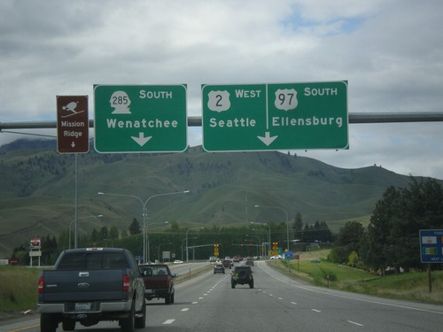
US-2 West/US-97 South Approaching WA-285
US-2 West/US-97 South approaching WA-285. Use right lane for US-2 West/US-97 South to Ellensburg and Seattle. Continue straight for WA-285 South to Wenatchee and Mission Ridge Ski Area.
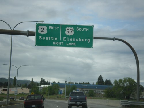
US-2 West/US-97 South Approaching WA-285
US-2 West/US-97 South approaching WA-285 in Wenatchee. Use right lane to continue on US-2 West/US-97 South to Seattle and Ellensburg.
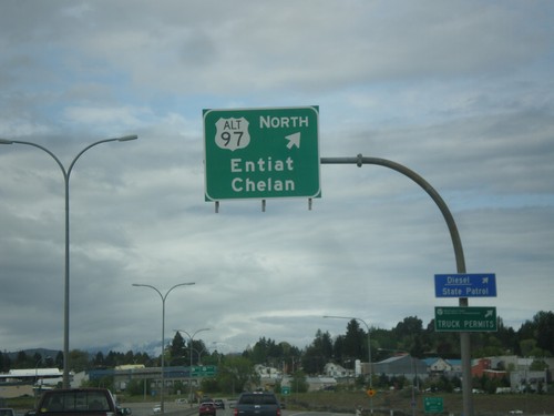
US-2 West/US-97 South at Alt. US-97 North
US-2 West/US-97 South at Alt. US-97 North to Entiat and Chelan.
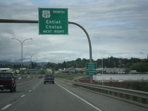
US-2 West/US-97 South Approaching US-97 Alt. North
US-2 West/US-97 South approaching US-97 Alt. North to Entiat and Chelan. Entering Chelan County and crossing the Columbia River.
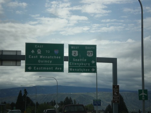
US-2 West/US-97 South at WA-28
US-2 West/US-97 South at WA-28 in Douglas County. Turn right to continue on US-2 West/US-97 South towards Ellensburg, Seattle, and Wenatchee (on the other bank of the Columbia River). Continue straight for WA-28 East to Quincy, East Wenatchee and I-90. Turn left for Eastmont Ave.
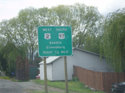
US-2 West/US-97 South Approaching WA-28
US-2 West/US-97 South approaching WA-28 in Douglas County. Use US-2 West/US-97 South for Seattle and Ellensburg.
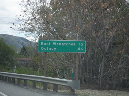
US-2 West/US-97 South - Distance Marker
Distance Marker on US-2 West/US-97 South. Distance to East Wenatchee and Quincy. Both of those cities are via WA-28.
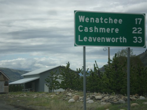
US-2 West/US-97 South - Distance Marker
Distance Marker on US-2 West/US-97 South. Distance to Wenatchee, Cashmere, and Leavenworth.
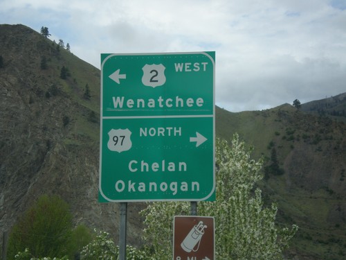
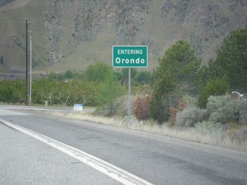
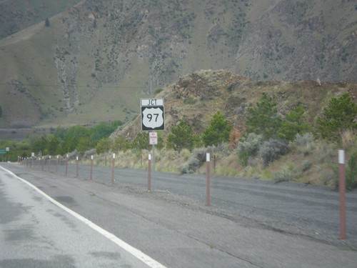
US-2 West at US-97
US-2 West at US-97 in Orondo. Turn right for US-97 north to Chelan and Okanogan. Turn left for US-2 West/(US-97 South) to Wenatchee. US-97 south joins US-2 west to Cashmere.
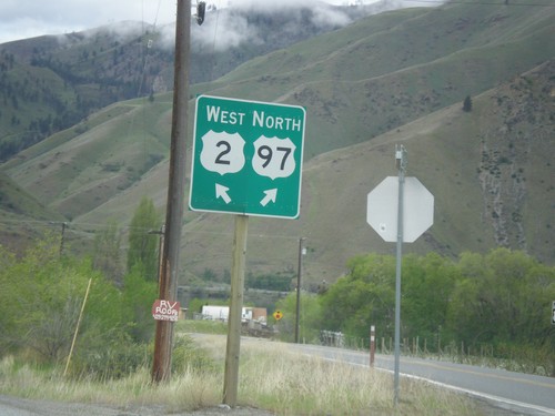
US-2 West at Connection to US-97 North
US-2 West at connection to US-97 North in Orondo. Turn right for US-97 north; left for US-2 west.
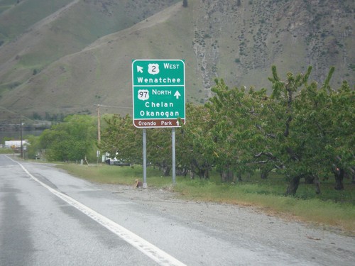
US-2 West at US-97 North
US-2 West at US-97 North. Turn right for connection to US-97 North/Chelan/Okanogan. Merge left for US-2 West towards Wenatchee.
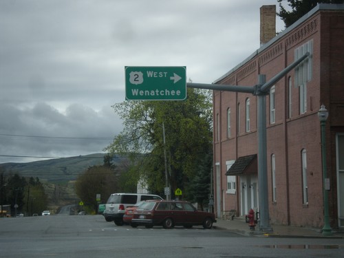
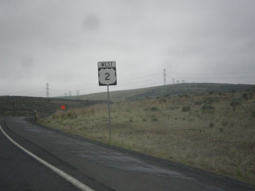
US-2 West - Waterville
US-2 west (Chelan St.) at Locust St. Turn right on Locust St. to continue west on US-2 towards Wenatchee.
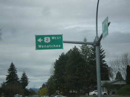
US-2 West - Waterville
US-2 west (Poplar Ave.) at Chelan St. in Waterville. Turn left on Chelan St. to continue west on US-2 towards Wenatchee.
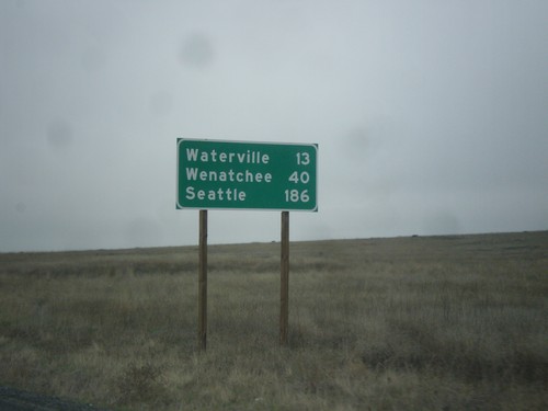
US-2 West - Distance Marker
Distance marker on US-2 west. Distance to Waterville, Wenatchee, and Seattle.
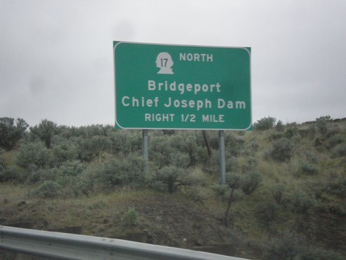
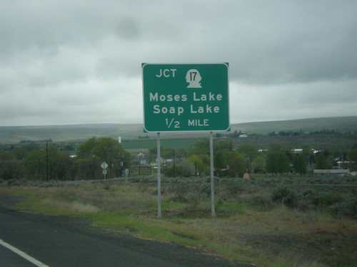
US-2 West/WA-17 North Approaching US-2/WA-17 Split
US-2 West/WA-17 North approaching US-2/WA-17 split in Douglas County. Use WA-17 north for Bridgeport and Chief Joseph Dam.
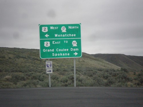
WA-17 North at US-2 - Dry Falls Junction
WA-17 North at US-2. Turn right for US-2 East/To WA-155/Grand Coulee Dam/Spokane. Turn left for US-2 West/WA-17 North/Wenatchee. WA-17 north joins US-2 westbound for about 2 miles.
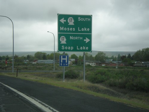
WA-28 West at WA-17 - Soap Lake
WA-28 West at WA-17 junction in Soap Lake. Turn left for WA-17 south to Moses Lake; right for WA-17 north to Soap Lake (City Center).
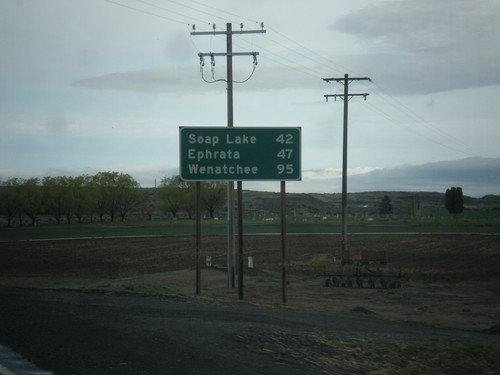
WA-28 West - Distance Marker
Distance marker on WA-28 west. Distance to Soap Lake, Ephrata, and Wenatchee.
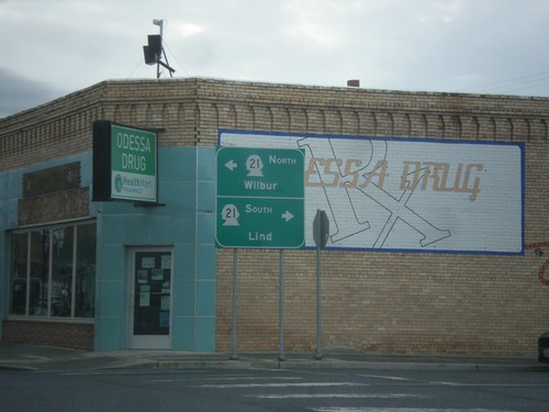
WA-28 West at WA-21 - Odessa
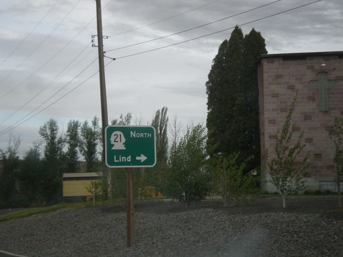
WA-28 West at WA-21 in Odessa. Turn right for WA-21 south to Lind; left for WA-21 north to Wilbur.
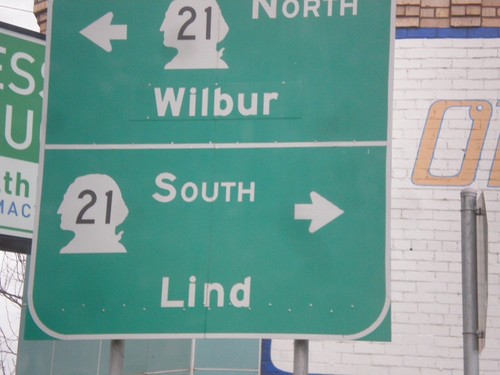
WA-28 West at WA-21 - Odessa
WA-28 West at WA-21 in Odessa. Turn right for WA-21 south to Lind; left for WA-21 north to Wilbur.
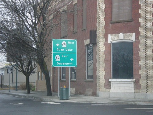
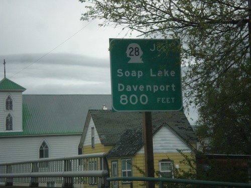
WA-21 North at WA-28 - Odessa
WA-21 North at WA-28 in Odessa. Turn right for WA-28 east to Davenport; left for WA-28 west to Soap Lake.
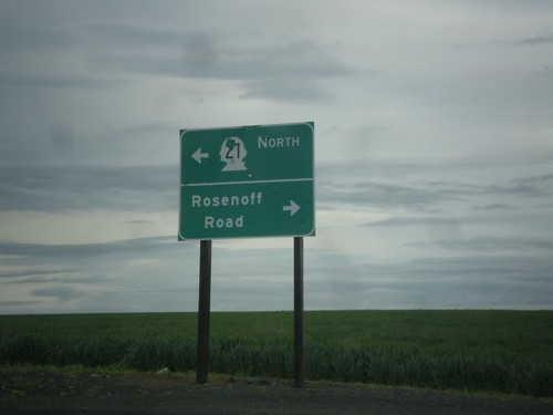
WA-21 North at Rosenoff Road
WA-21 North at Rosenoff Road. Turn right for Rosenoff Road; turn left to continue north on WA-21.
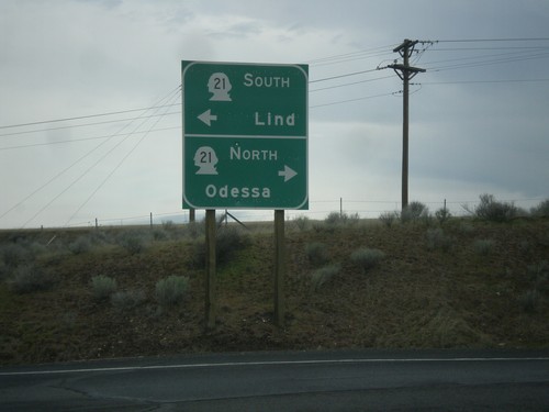
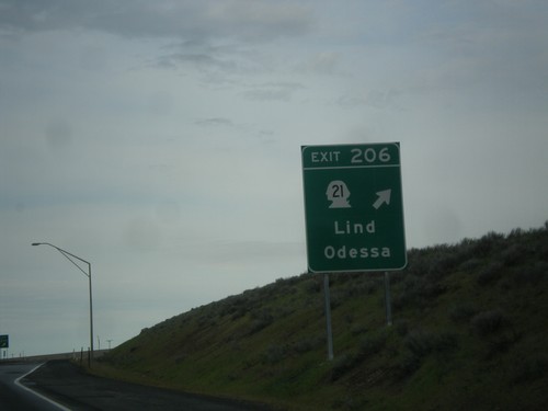
I-90 West Exit 206 Offramp at WA-21
I-90 West Exit 206 Offramp at WA-21. Use WA-21 north for Odessa; WA-21 south for Lind.
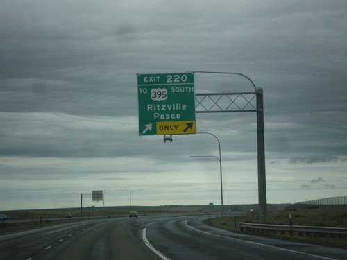
I-90 West/US-395 South - Exit 220
I-90 West/US-395 south at Exit 220 - To US-395 South/Ritzville/Pasco. US-395 south leaves I-90 westbound here.
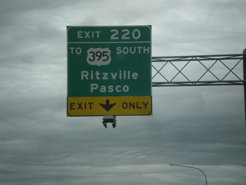
I-90 West/US-395 South - Exit 220
I-90 West/US-395 South approaching Exit 220 - To US-395 South/Ritzville/Pasco. US-395 south leaves I-90 westbound here.
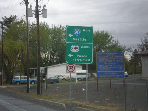
Weber Ave. West at I-90 West/US-395 South Onramp
Weber Ave. West at I-90 West/US-395 South Onramp in Ritzville. Use I-90 west for Seattle; US-395 South for Pasco/(Tri-Cities).
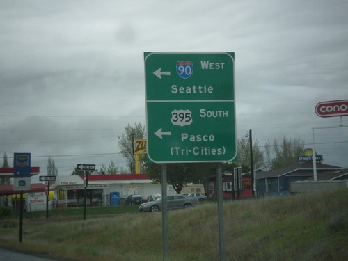
End WA-261 North at I-90 West/US-395 South
End WA-261 North at I-90 West/US-395 South in Ritzville. Turn left (on Weber St.) for onramps to I-90 West/Seattle and US-395 South/Pasco/(Tri-Cities).
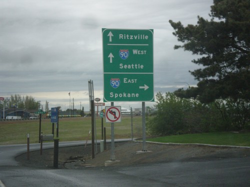
WA-261 North at I-90 East
WA-261 North at I-90 East to Spokane. Continue over the freeway for I-90 West to Seattle and Ritzville. WA-261 North ends at I-90.
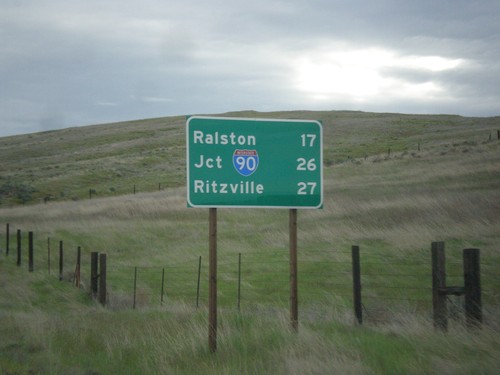
WA-261 North - Distance Marker
Distance marker on WA-261 north. Distance to Ralston, Jct. I-90, and Ritzville.
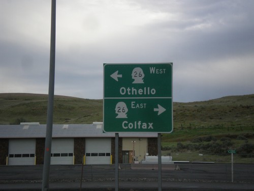
WA-260/WA-261 North at WA-26
WA-260/WA-261 North at WA-26 in Washtucna. Turn right for WA-26 east to Colfax; left for WA-26 west to Othello. This is the northern end of WA-260. WA-261 continues north towards Ritzville.
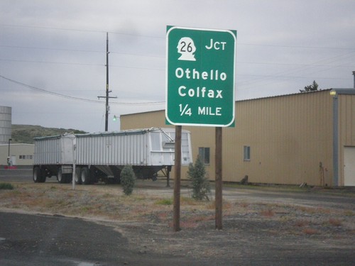
WA-260/WA-261 North Approaching WA-26
WA-260/WA-261 North approaching WA-26 to Colfax and Othello in Washtucna.
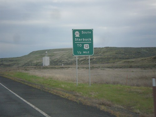
WA-260 North Approaching WA-261 South
WA-260 North Approaching WA-261 South to Starbuck and US-12. WA-261 joins WA-260 north to Washtucna.
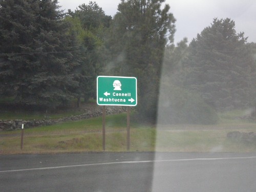
End WA-263 North at WA-260
End WA-263 North at WA-260 in Kahlotus. Turn right for WA-260 north to Washtucna; left for WA-260 south to Connell.
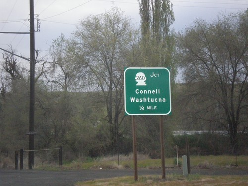
WA-263 North Approaching WA-260
WA-263 North approaching WA-260 to Connell and Washtucna in Kahlotus.
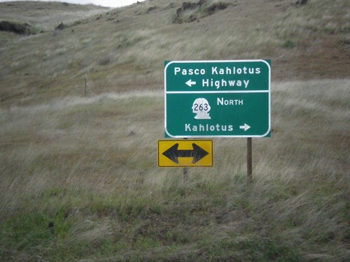
WA-263 North at Pasco Kahlotus Highway
WA-263 North at Pasco Kahlotus Highway in Franklin County. Turn left for Pasco Kahlotus Highway; right to continue north on WA-263 to Kahlotus.
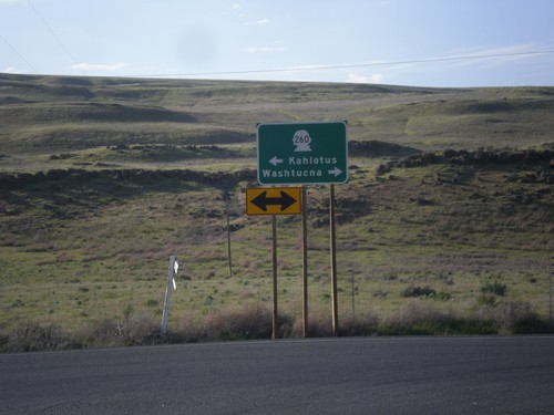
WA-261 North at WA-260
WA-261 North at WA-260 in Franklin County. Turn right for WA-260/WA-261 North to Washtucna; left for WA-261 South to Kahlotus. WA-260 joins WA-261 north to Washtucna.
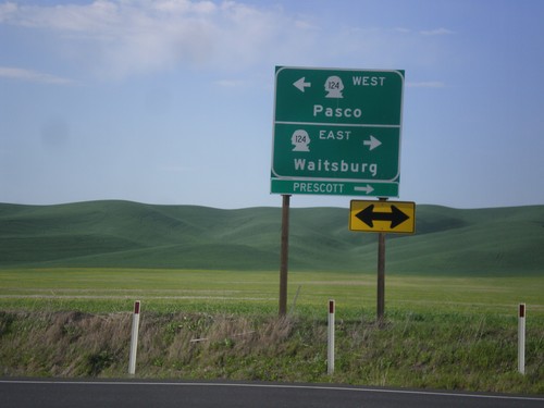
End WA-125 North at WA-124
End WA-125 North at WA-124. Turn right for WA-124 east to Waitsburg and Prescott. Turn left for WA-124 west to Pasco.
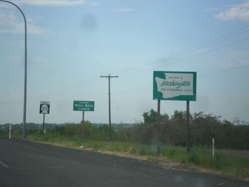
WA-125 North - Welcome To Washington
Welcome to Washington on WA-125 north. Entering Walla Walla County.
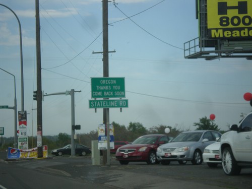
OR-11 North at Stateline Road - Leaving Oregon
OR-11 North at Stateline Road in Umatilla County. Stateline Road parallels the Oregon-Washington border. Oregon Thanks You - Come Back Soon.
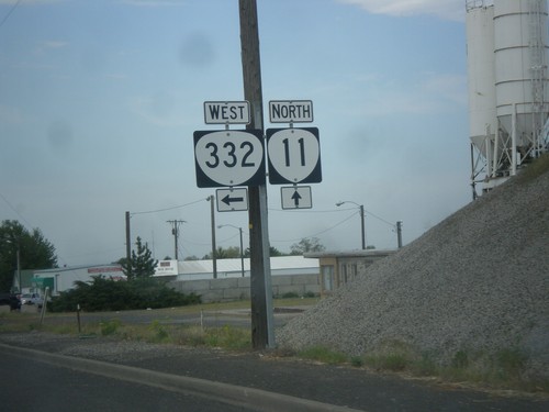
OR-11 North at OR-332 West (Sunnyside Road)
OR-11 North at OR-332 West (Sunnyside Road) in Umatilla County.
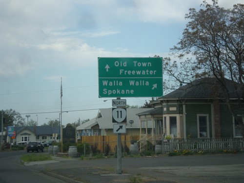
OR-11 North (Main St.) at Columbia St.
OR-11 North (Main St.) at Columbia St. Turn right on Columbia St. to continue north on OR-11 to Walla Walla (WA) and Spokane (WA). Continue straight on Main St. for Old Town Freewater.
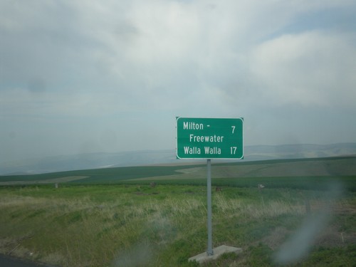
OR-11 North - Distance Marker
Distance marker on OR-11 north. Distance to Milton-Freewater and Walla Walla (Washington).
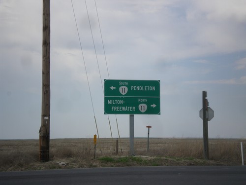
End OR-331 North at OR-11
End OR-331 North at OR-11 in Umatilla County. Turn right for OR-11 north to Milton-Freewater; turn left for OR-11 south to Pendleton.
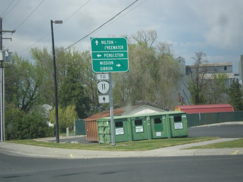
OR-331 North at Mission Road
OR-331 North at Mission Road. Turn right for Mission Road east to Mission and Gibbon. Turn left for Mission Road west to Pendleton. Continue north on OR-331 for OR-11 to Milton-Freewater.
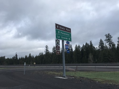
I-84 East Exit 234 Freeway Entrance
I-84 East Exit 234 Freeway Entrance. Use I-84 east for LaGrande. Continue west on Frontage Road for (Emigrant Springs) State Park and I-84 west to Pendleton.
