Javascript Is Required To Use This Page

Signs From July 2018
US-93 North - Mackay

US-93 North - Mackay

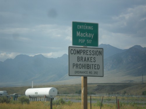
Entering Mackay on US-93 north.

US-93 North - Distance Marker

US-93 North - Distance Marker

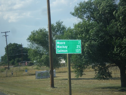
Distance marker on US-93 north. Distance to Moore, Mackay, and Salmon.

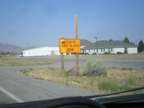
US-20 East/US-26 East/US-93 North - Road Closure Info

US-20 East/US-26 East/US-93 North - Road Closure Info

US-20 East/US-26 East/US-93 North - Road Closure Information in Carey. US-26/US-26/US-93 between Carey and Arco is open.
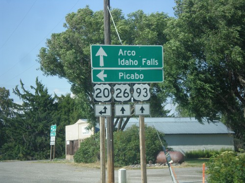
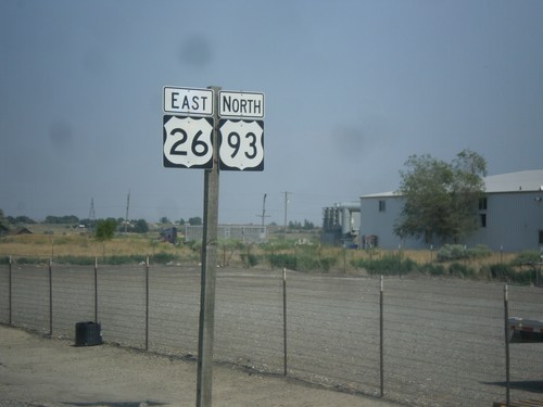
US-26 East/US-93 North at US-20

US-26 East/US-93 North at US-20

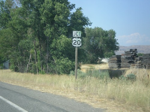
US-26 East/US-93 North at US-20 in Carey. Turn left for US-20 west to Picabo. Continue straight for US-20 East/US-26 East/US-93 North to Arco and Idaho Falls.
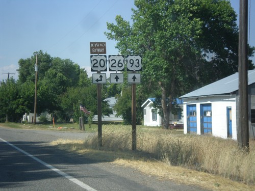
US-26 East/US-93 North at US-20

US-26 East/US-93 North at US-20

US-26 East/US-93 North at US-20 in Carey. Use US-20 for the Peaks To Craters Scenic Byway.
US-26 East/US-93 North Approaching US-20

US-26 East/US-93 North Approaching US-20

US-26 East/US-93 North approaching US-20 in Carey.

US-26 East/US-93 North - Entering Carey

US-26 East/US-93 North - Entering Carey

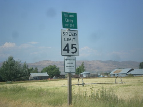
Entering Carey on US-26 East/US-93 North.

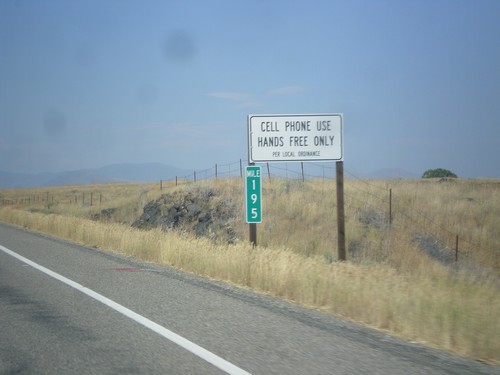
US-26 East/US-93 North - Cell Phone Use - Hands Free Only

US-26 East/US-93 North - Cell Phone Use - Hands Free Only

Cell Phone Use - Hands Free Only Per Local (Blaine County) ordinance on US-26 East/US-93 North. The state of Idaho as a whole does allow hand held cell phone use.
US-26 East/US-93 North - Blaine County

US-26 East/US-93 North - Blaine County

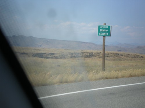
Entering Blane County on US-26 East/US-93 North.

US-26 East/US-93 North - Distance Marker

US-26 East/US-93 North - Distance Marker

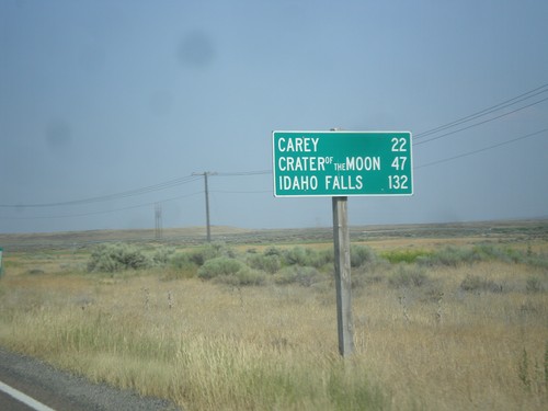
Distance Marker on US-26 East/US-93 North. Distance to Carey, Craters of the Moon, and Idaho Falls.
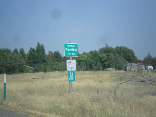
US-26 East/US-93 North - Richfield

US-26 East/US-93 North - Richfield

Entering Richfield on US-26 East/US-93 North.

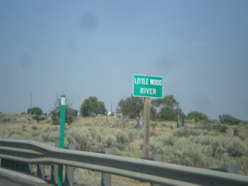
US-26 East/US-93 North - Little Wood River

US-26 East/US-93 North - Little Wood River

Little Wood River bridge on US-26 East/US-93 north.

US-93 North/US-26 East - Distance Marker

US-93 North/US-26 East - Distance Marker

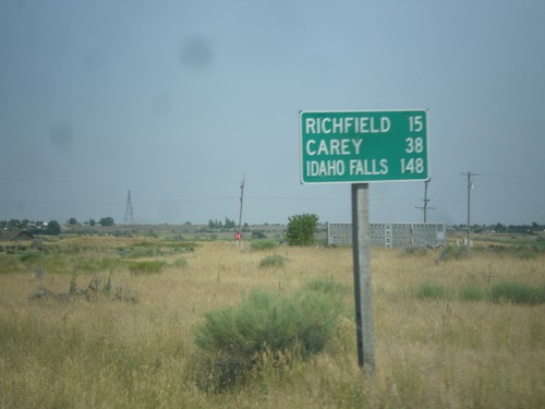
Distance Marker on US-93 North/US-26 East. Distance to Richfield, Carey, and Idaho Falls.
US-26 East/US-93 North - Shoshone

US-26 East/US-93 North - Shoshone

US-26 East/US-93 North in Shoshone

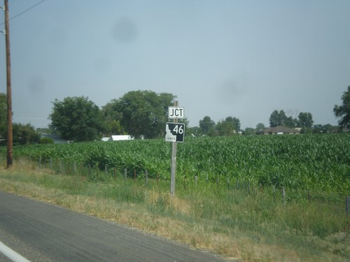
US-26 East Approaching ID-46

US-26 East Approaching ID-46

US-26 East approaching ID-46 in Gooding.

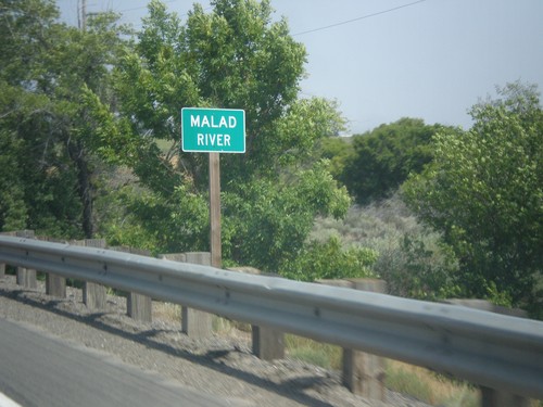
US-26 East - Malad River

US-26 East - Malad River

Malad River bridge on US-26 east.

US-26 East - Distance Marker

US-26 East - Distance Marker

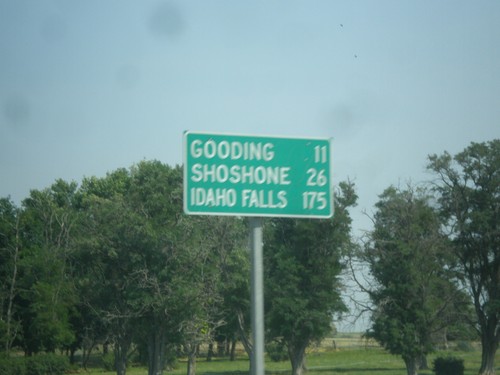
Distance Marker on US-26 east. Distance to Gooding, Shoshone, and Idaho Falls.
US-26 East - Gooding County

US-26 East - Gooding County

US-26 East in Gooding County

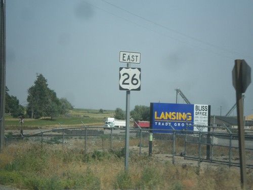
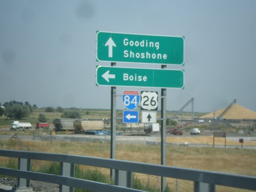
US-26 East at I-84 West Onramp (Exit 141)

US-26 East at I-84 West Onramp (Exit 141)

US-26 East at I-84 West onramp (Exit 141) to Boise. Continue ahead on US-26 east for Gooding and Shoshone. US-26 westbound joins I-84 westbound.

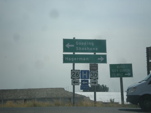
I-84 East at BL-84/US-26 Jct. - Bliss

I-84 East at BL-84/US-26 Jct. - Bliss

I-84 East at US-26 Jct. in Bliss. Turn right for BL-84/To US-30 to Hagerman and Bliss City Center. Turn left for US-26 East to Gooding and Shoshone.