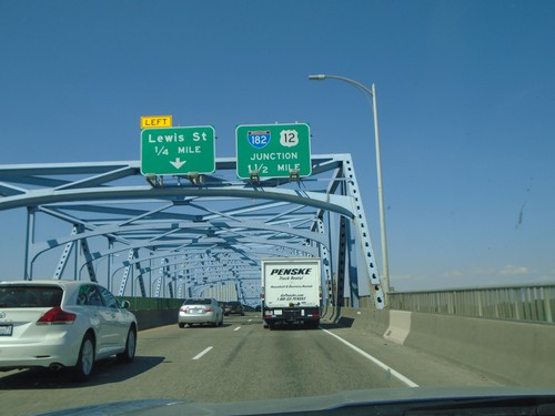
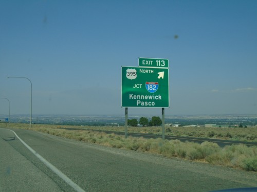
Signs From August 2018
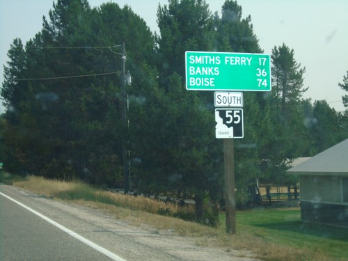
ID-55 South - Distance Marker
Distance marker on ID-55 south. Distance to Smith Ferry, Banks, and Boise.
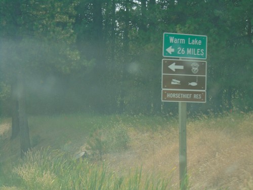
ID-55 South - Warm Lake Road
ID-55 south at Warm Lake Road Jct to Warm Lake and Horsethief Reservoir.
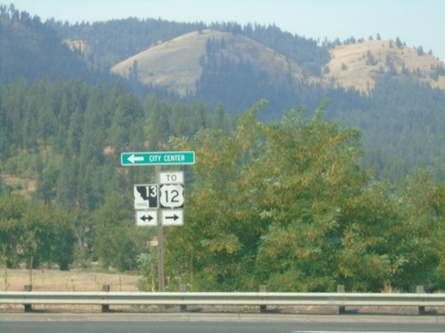
End Bus. ID-13 West at ID-13 - Kooskia
End Bus. ID-13 West at ID-13 in Kooskia. Turn right for ID-13 east to US-12 jct; left for ID-13 west to (Kooskia) City Center.
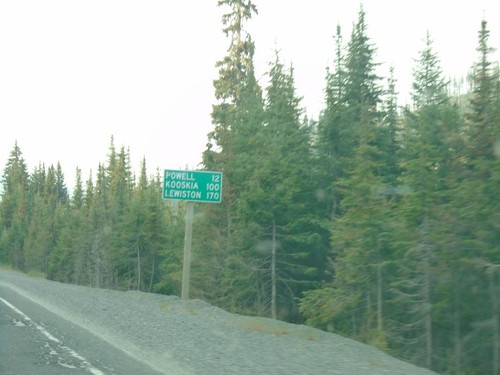
US-12 West - Distance Marker
Distance marker on US-12 west. Distance to Powell, Kooskia, and Lewiston.
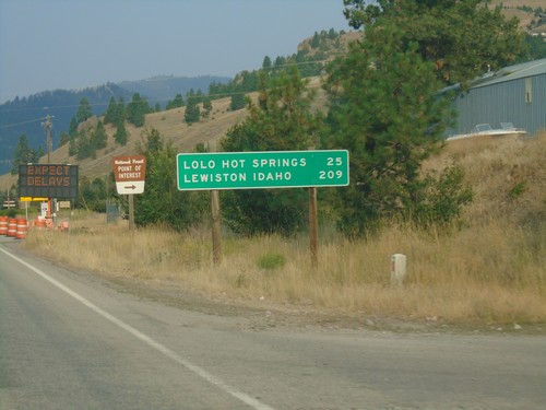
US-12 West - Distance Marker
Distance marker on US-12 west. Distance to Lolo Hot Springs and Lewiston Idaho.
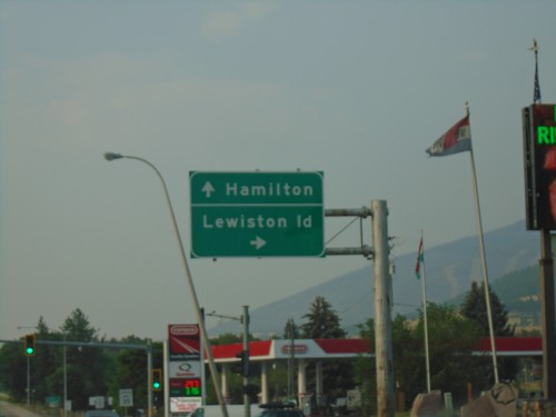
US-93 South/US-12 West at US-12 - Lolo
US-93 South/US-12 West Split in Lolo. Turn right for US-12 west to Lewiston (Idaho); continue straight for US-93 south to Hamilton.
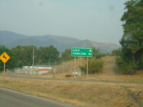
US-93 South/US-12 East - Distance Marker
Distance marker on US-93 South/US-12 East. Distance to Lolo and Hamilton.
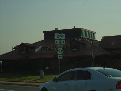
US-93 South at US-12/Bus. US-93 - Missoula
US-93 South (Reserve St.) at US-12/Bus. US-93 (Brooks St.) in Missoula.
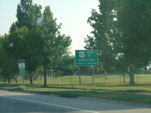
US-93 South Approaching US-12 - Missoula
US-93 South (Reserve St.) approaching US-12 (Brooks St.) in Missoula. Turn right on Brooks St. to continue south on US-93 towards Missoula. US-12 and US-93 join southbound to Lolo.
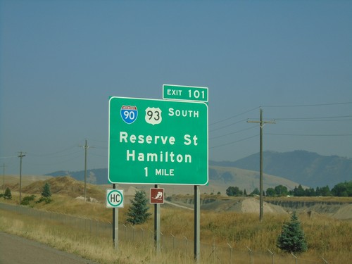
I-90 East - Exit 101
I-90 east approaching Exit 101 - BL-90/US-93/Reserve St./Hamilton. The BL-90 shield is incorrectly displayed as an I-90 shield. US-93 south leaves I-90 here.
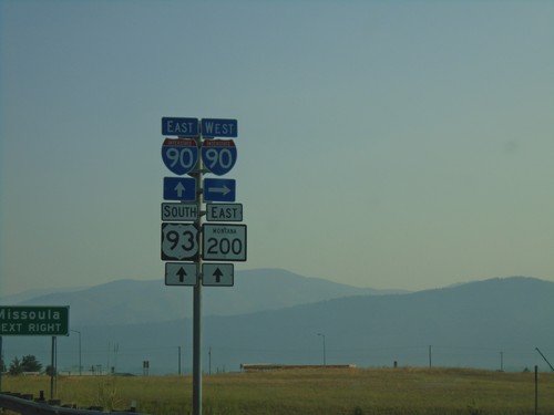
US-93 South/MT-200 East At I-90
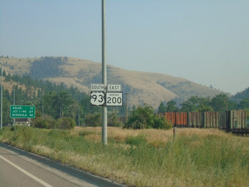
US-93 South/MT-200 East at I-90. Turn right for I-90 West; proceed over freeway for I-90 East/US-93/MT-200 East to Missoula.
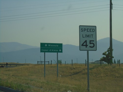
US-93 South/MT-200 East Approaching I-90
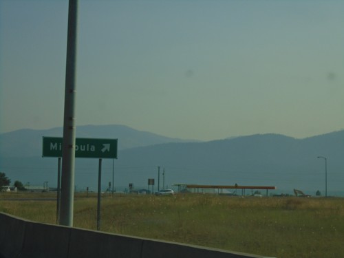
US-93 South/MT-200 East approaching I-90. Use I-90 west for Coeur d’Alene (Idaho); I-90 east for Missoula.
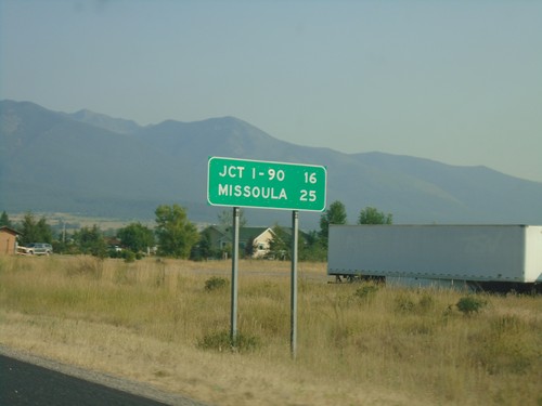
US-93 South/MT-200 East - Distance Marker
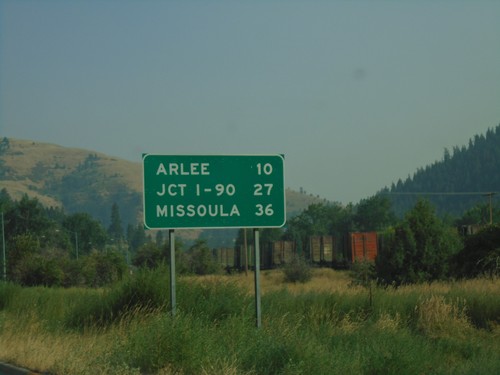
Distance Marker on US-93 South/MT-200 East. Distance to Jct I-90 and Missoula.
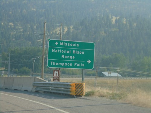
US-93 South At MT-200
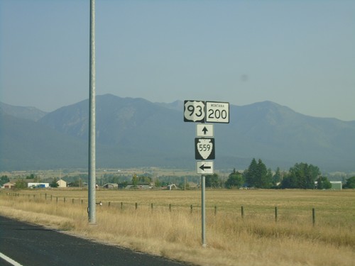
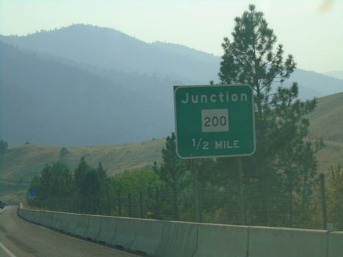
US-93 south at MT-200. Use MT-200 West for National Bison Range and Thompson Falls. Use US-93 South/MT-200 East to Missoula. MT-200 East joins US-93 south to Missoula.
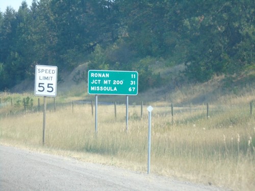
US-93 South - Distance Marker
Distance marker on US-93 south. Distance to Ronan, Jct. MT-200, and Missoula. Speed Limit 55 MPH.
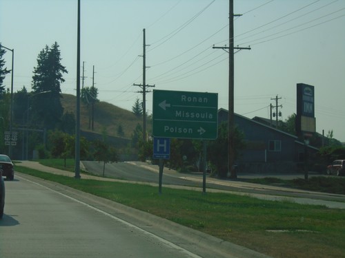
End MT-35 at US-93 - Polson
End MT-35 at US-93 in Polson. Use US-93 north for Polson; US-93 south for Ronan and Missoula.
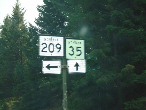
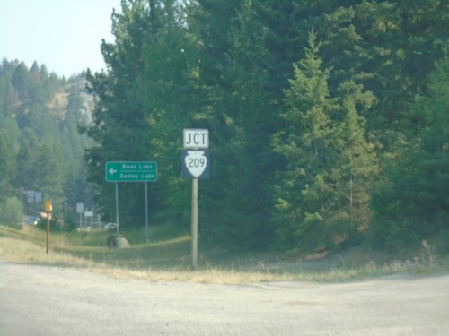
MT-35 South at MTS-209 - Bigfork
MT-35 south at MTS-209 in Bigfork. The MTS-209 shield is incorrectly displayed as a MT-209 shield.
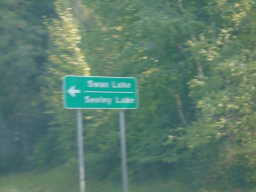
MT-35 South Approaching MTS-209
MT-35 South approaching MTS-209 in Bigfork. Use MTS-209 east for Swan Lake and Seeley Lake.
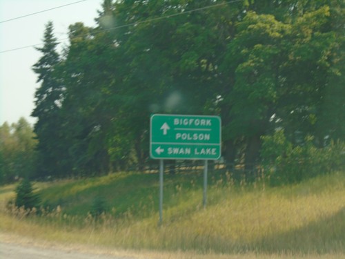
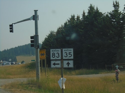
MT-35 South Approaching MT-83
MT-35 South approaching MT-83 south to Swan Lake. Continue south on MT-35 for Bigfork and Polson.
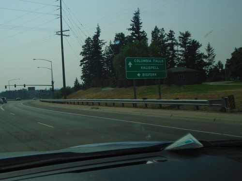
US-2 West at MTS-206 - Columbia Falls
US-2 West at MTS-206 junction in Columbia Falls. Use MTS-206 south for Bigfork; continue west on US-2 for Columbia Falls and Kalispell.
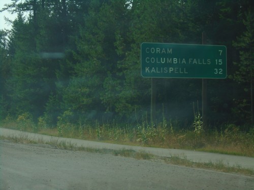
US-2 West - Distance Marker
Distance marker on US-2 west. Distance to Coram, Columbia Falls, and Kalispell.
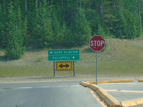
End Going To The Sun Road West at US-2
End Going To The Sun Road West at US-2 in West Glacier. Turn right on US-2 for Kalispell; left on US-2 for East Glacier.
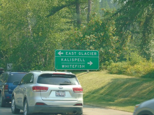
Going To The Sun Road West Approaching US-2
Going To The Sun Road West approaching US-2 in West Glacier. Turn left on US-2 east for East Glacier; right on US-2 west for Kalispell and Whitefish.
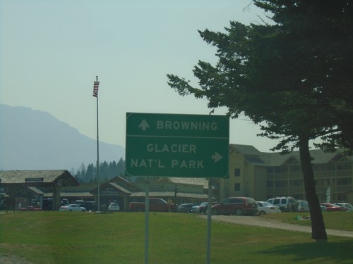
US-89 South - Going To The Sun Road Jct.
US-89 South at Going To The Sun Road Jct. in St. Mary. Turn right for Glacier National Park; continue south on US-89 for Browning.
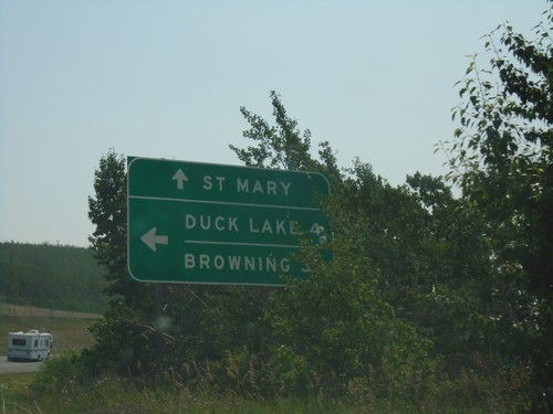
US-89 South at MTS-464
US-89 South at MTS-464. Use MTS-464 for Duck Lake and Browning; continue south on US-89 for St Mary.
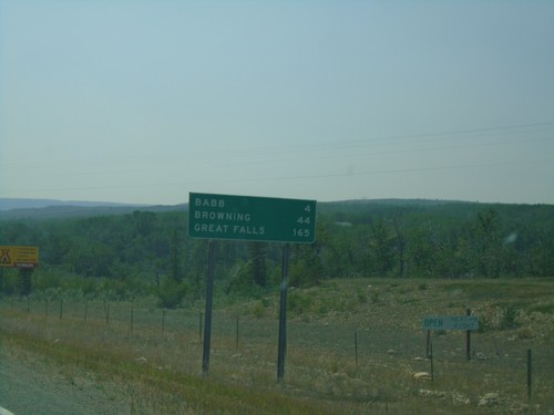
US-89 South - Distance Marker
Distance marker on US-89 south. Distance to Babb, Browning, and Great Falls.
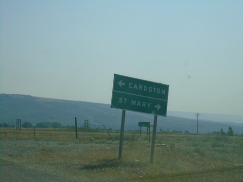
End MT-17 South at US-89
End MT-17 South at US-89 in Glacier County. Turn left for US-89 north to Cardston (Alberta); right for US-89 south to St. Mary.
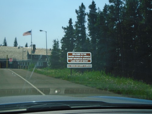
MT-17 South - Welcome To The United States
MT-17 South - Welcome To The United States of America. Chief Mountain Montana Land Port of Entry.
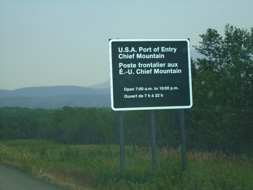
AB-6 South - Border Crossing Information
AB-6 South hours for the border crossing into the United States. U.S.A. Port of Entry - Chief Mountain open 7AM to 10PM.
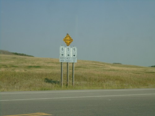
AB-6 North at AB-5 - Waterton National Park
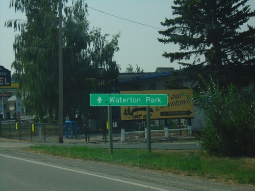
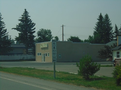
AB-6 North at AB-5 in Waterton National Park. Turn right for AB-5 north; left for AB-6 north/AB-5 south. The directional banners on the shields are bi-lingual.
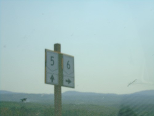
AB-5 North/AB-6 South at AB-5/AB-6 Split
AB-5 North/AB-6 South at AB-5/AB-6 split in Waterton Park. Turn right for AB-6 south; continue straight for AB-5 north.
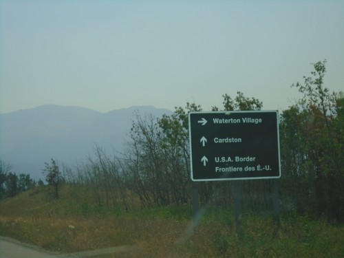
AB-6 South Approaching AB-5 - Waterton Lakes National Park
AB-6 South approaching AB-5 in Waterton Lakes National Park. Turn right for AB-5 south to Waterton Village; straight for AB-6 South/AB-5 North to Cardston and the U.S.A. Border.
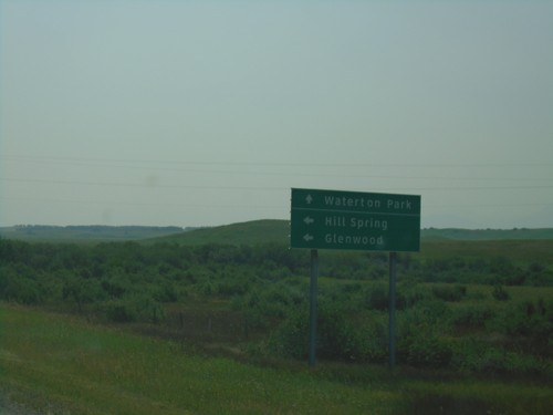
AB-6 South at AB-505
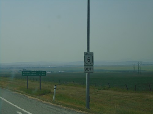
AB-6 South at AB-505 east to Hill Spring and Glenwood. Continue south on AB-6 south for Waterton Park.
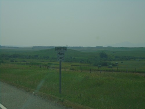
AB-6 South Approaching AB-505
AB-6 South Approaching AB-505 in the Municipal District Of Pincher Creek No. 9.
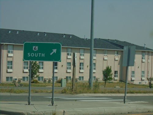
AB-6/AB-507 Roundabout - Pincher Creek
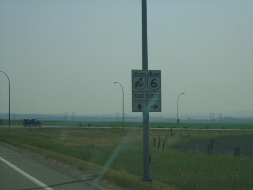
AB-6/AB-507 Roundabout in Pincher Creek. Merge right for AB-6 South.
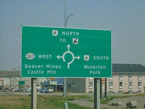
Heweston Ave. North at AB-6/AB-507 Roundabout
Heweston Ave. North at AB-6/AB-507 roundabout in Pincher Creek. Use AB-6 North for AB-3 (Crowsnest Highway); use AB-6 south for Waterton Park; use AB-507 West for Beaver Mines and Castle Mountain.
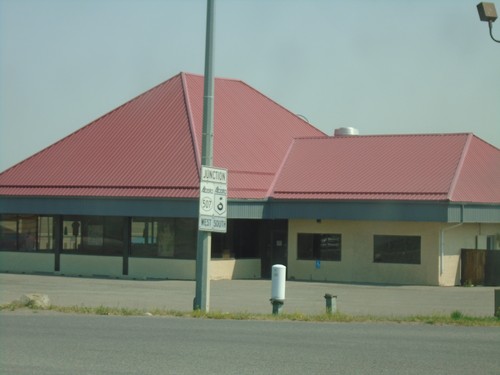
Heweston Ave. North Approaching AB-6/AB-507
Heweston Ave. North Approaching AB-6/AB-507 roundabout in Pincher Creek.
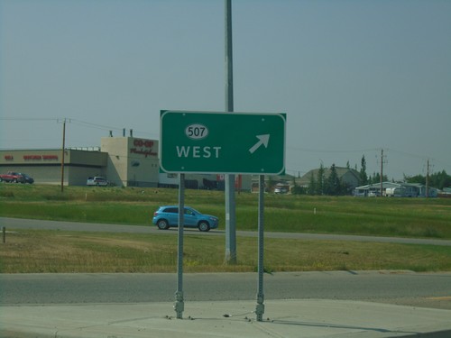
AB-6 South at AB-507 Junction
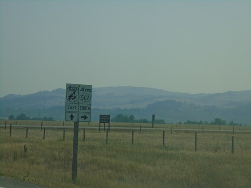
AB-6 South at AB-507 West Junction in a roundabout. Merge right for AB-507 west.
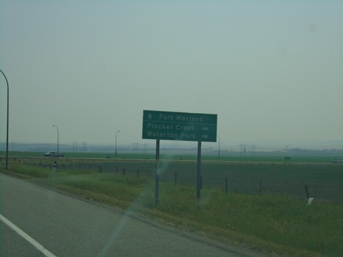
AB-3 East Approaching AB-6 South
AB-3 East Approaching AB-6 South to Pincher Creek and Waterton Park. Continue east on AB-3 for Fort Macleod.
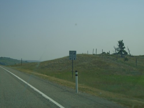
AB-3 East at AB-22 North
AB-3 East at AB-22 North junction in the Municipal District Of Pincher Creek No. 9.
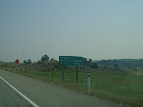
AB-3 East Approaching AB-22 North
AB-3 East approaching AB-22 North. Use AB-22 north for Longview, Black Diamond, and Turner Valley.
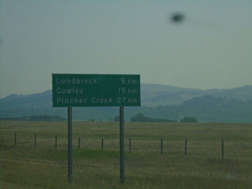
AB-3 East - Distance Marker
Distance marker on AB-3 east. Distance to Lundbreck, Cowley, and Pincher Creek.
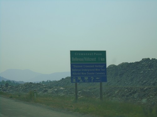
AB-3 East Approaching Bellvue/Hillcrest
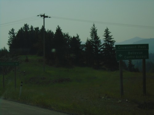
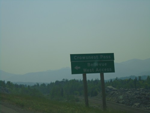
AB-3 East approaching Bellvue/Hillcrest communities in Crowsnest Pass.
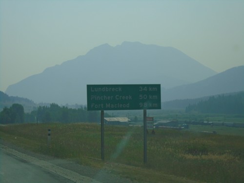
AB-3 East - Distance Marker
Distance marker on AB-3 East. Distance to Lundbreck, Pincher Creek, and Fort Macleod.
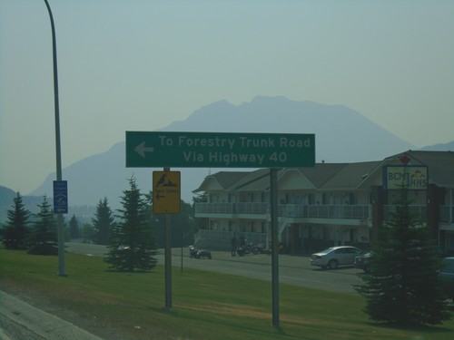
AB-3 East at AB-40 North - Coleman
AB-3 East at AB-40 North in Coleman. Use AB-40 north for Forestry Trunk Road.
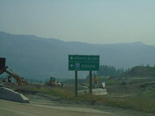
BC-3 East at BC-43 North - Sparwood
BC-3 East at BC-43 North in Sparwood. Turn left for BC-43 north to Elkford; continue east on BC-3 for the Alberta Border.
BC-3 East - Distance Marker
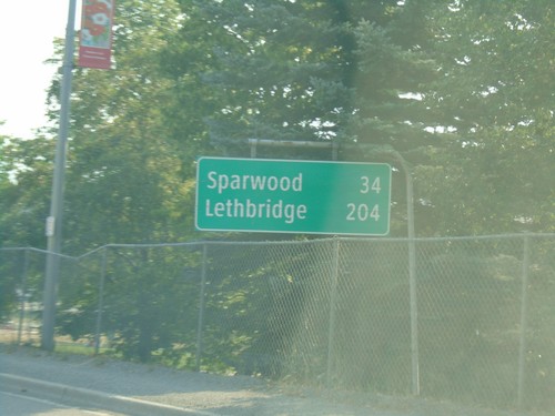
Distance marker on BC-3 east in Fernie. Distance to Sparwood and Lethbridge (Alberta).
BC-3 East - Fernie
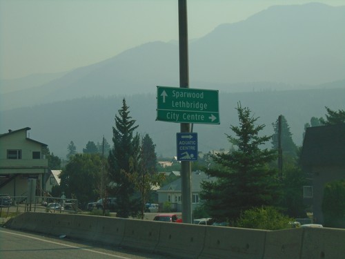
BC-3 east in Fernie. Turn right on 4th St. for (Fernie) City Centre. Continue east on BC-3 for Sparwood and Lethbridge (Alberta).
BC-3 East - Distance Marker
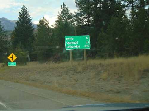
Distance marker on BC-3 east. Distance to Fernie, Sparwood, and Lethbridge (Alberta).
BC-3 East at BC-93 South
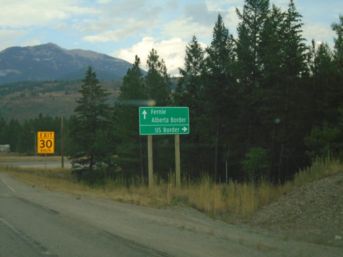
BC-3 east at BC-93 south to US Border. Continue east on BC-3 for Fernie and Alberta Border. BC-93 south leaves BC-3 east here.
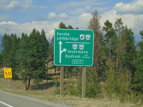
BC-3 East/BC-95 North at BC-93/BC-95 Junction
BC-3 East/BC-95 North at BC-93/BC-95 Junction. Exit for BC-93/BC-95 north to Invermere and Radium Hot Springs. Continue straight for BC-3 East/BC-93 South to Fernie and Lethbridge (Alberta). BC-93 south joins BC-3 east to Elko.
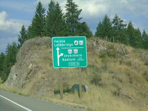
BC-3 East/BC-95 North at BC-93/BC-95
Approaching BC-3 East/BC-95 North split in 1300 metres. BC-3 East joins BC-93 South to Fernie and Lethbridge (AB). BC-95/BC-93 north to Invermere and Radium Hot Springs.
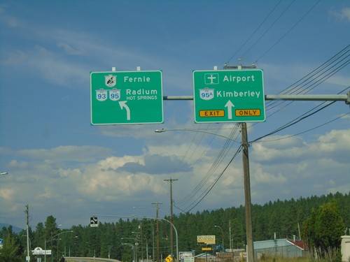
BC-3 East/BC-95 North at BC-95A
BC-3/BC-95 west to Fernie and Radium Hot Springs at BC-95A to Kimberley and Airport.
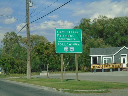
BC-3 East Approaching BC-95A
Use BC-93/BC-95 north for Fort Steele, Fairmont, and Invermere, approaching BC-95A on BC-3 east.
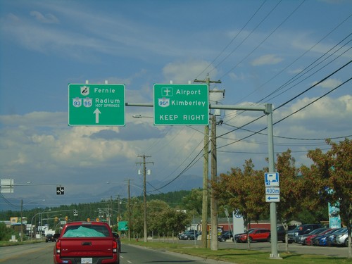
BC-3 East/BC-95 North Approaching BC-95A
BC-3 East/BC-95 North approaching BC-95A. Use BC-95A North for Kimberley and (Canadian Rockies International) Airport. Continue on BC-3 East/BC-95 North for Radium and Fernie.
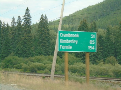
BC-3 East - Distance Marker
Distance marker on BC-3 east. Distance to Cranbrook, Kimberley, and Fernie.
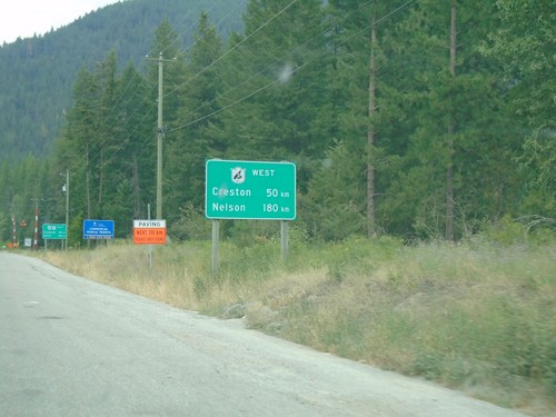
BC-95 North - Distance Marker For BC-3 West
Distance Marker For BC-3 West (Crowsnest Highway) on BC-95 north. Distance to Nelson and Creston. Many of the border crossings near the Crowsnest Highway have signs showing distance along the Crowsnest Highway.
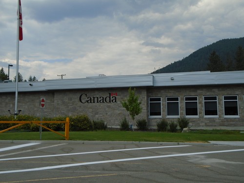
BC-95 North - Port of Kingsgate
Canada Border Services Agency Port of Kingsgate office on BC-95 north.
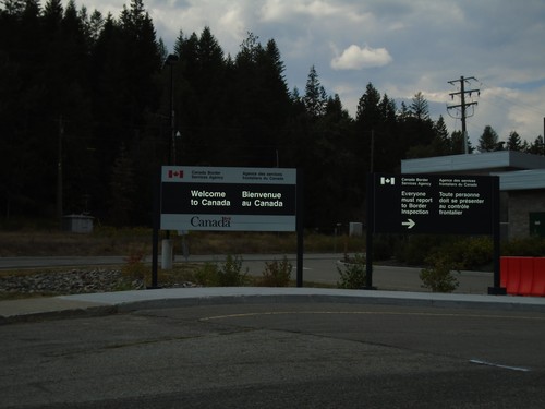
BC-95 North - Welcome To Canada
Welcome To Canada on BC-95 north. Approaching border inspection at Port of Kingsgate.
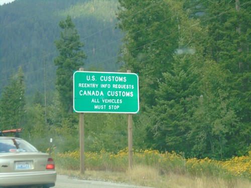
US-95 North Approaching US-Canada Border
US-95 north approaching US-Canada Border. For Reentry Information Requests turn left to access US Customs. Continue straight ahead for Canada Customs.
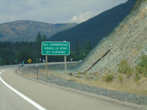
US-95 North - Commercial Vehicles Stop At Customs
US-95 North - All Commercial Vehicles Stop At Customs approaching US-Canada boundary at Eastport.
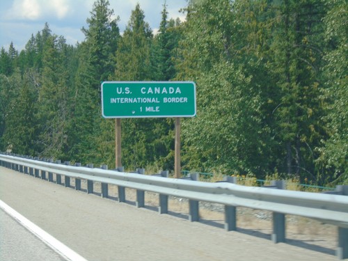
US-95 North - Approaching US-Canada International Border
US-95 north approaching US-Canada International Border in Boundary County.
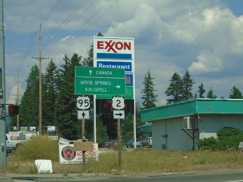
US-95 North/US-2 East at US-95/US-2 Split
US-95 North/US-2 East at US-95/US-2 split. Turn right for US-2 east to Moyie Springs and Kalispell (Montana). Continue north on US-95 for Canada.
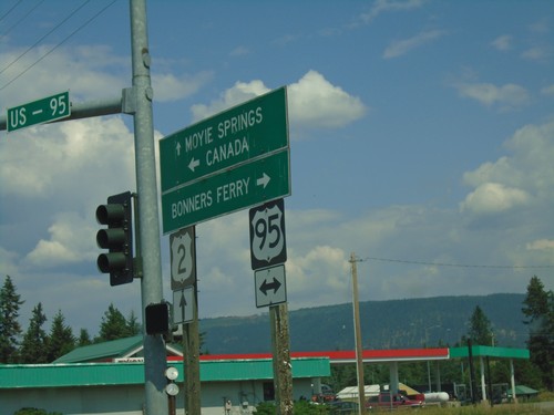
Sand Hill Road East at US-2 and US-95 Junction
Sand Hill Road East at US-2 and US-95 Junction. Turn right for US-95 south to Bonners Ferry; left for US-95 north to Canada; straight for US-2 east to Moyie Springs.
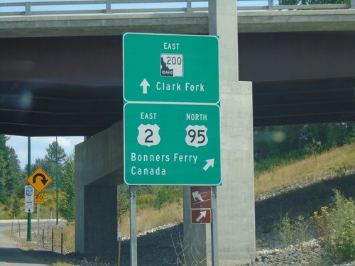
US-2 East at US-95 and ID-200
US-2 East at US-95 and ID-200. Continue straight for ID-200 East to Clark Fork. Merge right for US-2 East/US-95 North for Bonners Ferry and Canada. US-2 east joins US-95 north to Bonners Ferry.
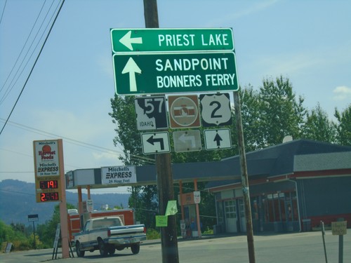
US-2 East at ID-57 North
US-2 east at ID-57 north to Priest Lake. Continue east on US-2 for Sandpoint and Bonners Ferry.
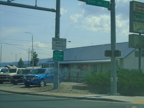
US-2 East - Entering Oldtown Idaho
US-2 East - Entering Oldtown Idaho at the Washington-Idaho state line.
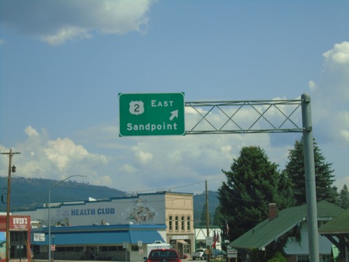
US-2 East - Newport
US-2 East in Newport. Merge right to continue east on US-2 towards Sandpoint (Idaho).
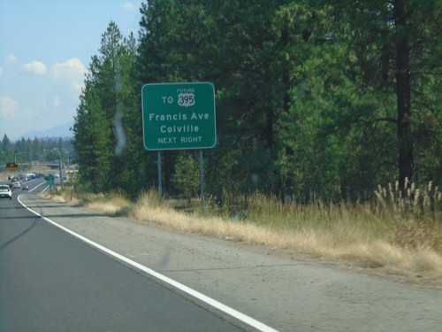
US-2 East Approaching Future US-395
US-2 East approaching Farwell Road to Future US-395/Colville/Francis Ave.
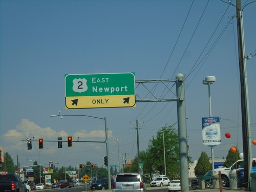
US-2 East/US-395 North at US-2/US-395 Split
US-2 East/US-395 North at US-2/US-395 split in Spokane. Turn right for US-2 East to Newport.
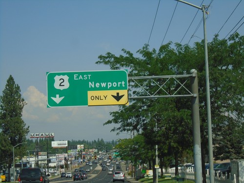
US-2 East/US-395 North Approaching US-2/US-395 Split
US-2 East/US-395 North (Division St.) approaching US-2 East to Newport.
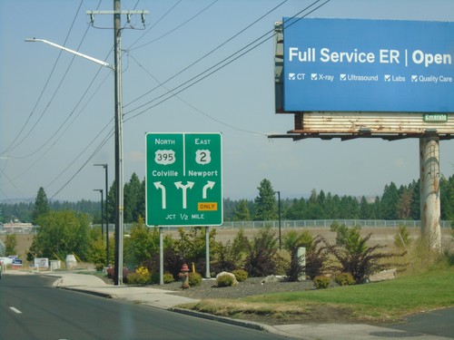
US-2 East/US-395 North Approaching US-2/US-395 Split
US-2 East/US-395 North (Division St.) approaching US-2/US-395 Split in Spokane. Use US-2 east for Newport; US-395 north for Colville.
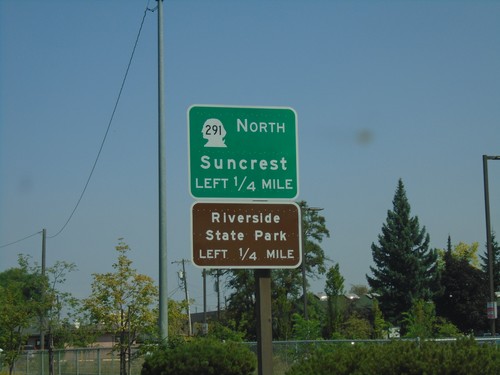
US-2 East/US-395 North Approaching WA-291
US-2 East/US-395 North (Division St.) approaching WA-291 North (Francis Ave.) to Suncrest and Riverside State Park.
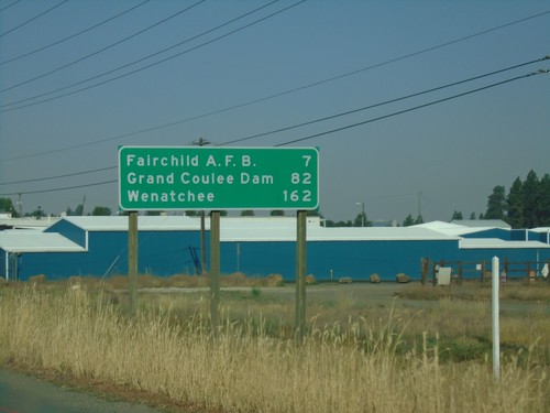
US-2 West - Distance Marker
Distance marker on US-2 west. Distance to Fairchild AFB, Grand Coulee Dam, and Wenatchee.
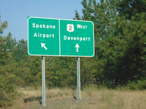
Sunset Blvd. at US-2
Sunset Blvd. west at US-2 west to Davenport. Use left lane to continue on Sunset Blvd. to the Spokane Airport.
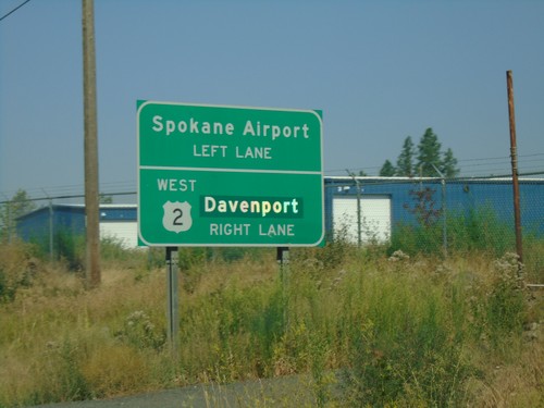
Sunset Blvd. West Approaching US-2
Sunset Blvd. West approaching US-2. Use right lane for US-2 West to Davenport; left lane for the Spokane Airport.
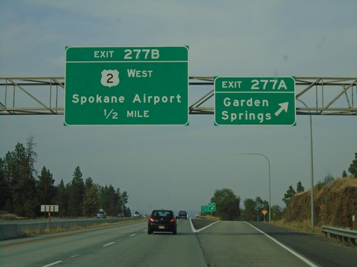
I-90 East - Exits 277A and 277B
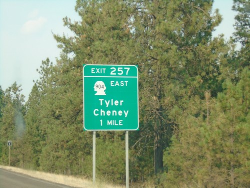
I-90 east at Exit 277A - Garden Springs. Approaching Exit 277B - US-2 West/Spokane Airport. US-2 east follows I-90 from here into downtown Spokane.
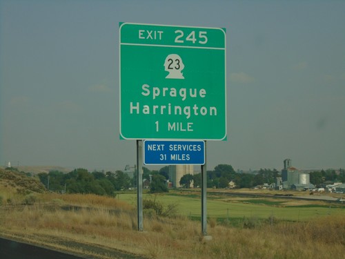
I-90 East - Exit 245
I-90 east approaching Exit 245 - WA-23/Sprague/Harrington. Next Services 31 Miles.
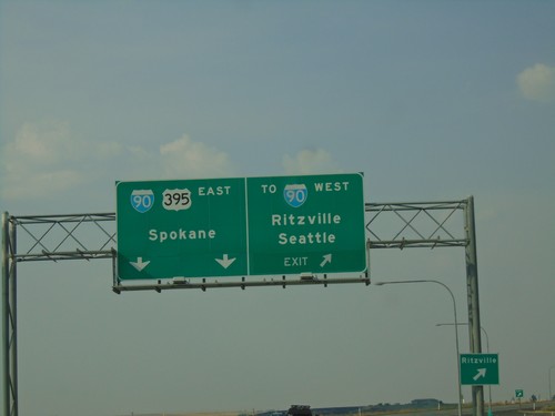
US-395 North at I-90 - Ritzville
US-395 north at I-90 in Ritzville. Exit for To I-90 West/Seattle/Ritzville. Continue on freeway for I-90 East/US-395 North/Spokane. US-395 north joins I-90 east to Spokane.
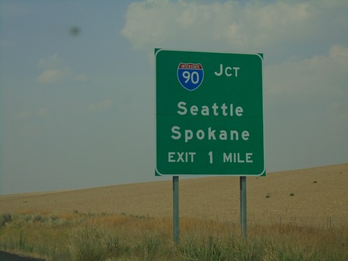
US-395 North Approaching I-90
US-395 North approaching I-90 near Ritzville. Use I-90 for Seattle and Spokane.
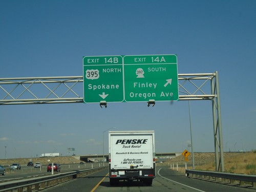
I-182 East/US-12 East - Exits 14A and 14B
I-182 East/US-12 East at Exit 14A - WA-397 South/Finley/Oregon Ave. Exit 14B - US-395 North/Spokane. US-395 northbound leaves I-182/US-12 eastbound here.
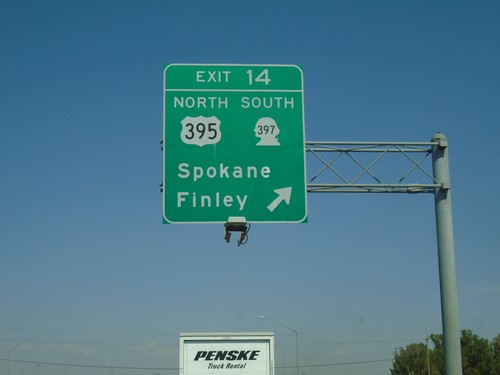
I-182 East - Exit 14
I-182/US-12 East/US-395 North - Exit 14 - US-395 North/WA-397 South/Spokane/Finley. US-395 north leaves I-182/US-12 eastbound here.
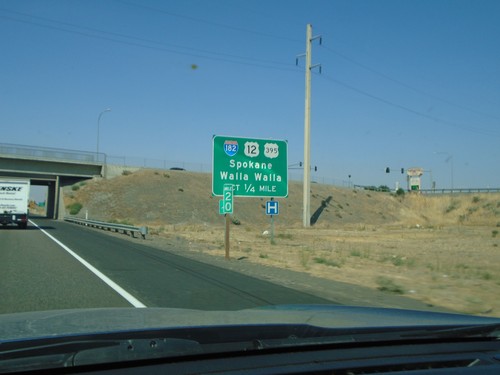
US-395 North Approaching I-182/US-12
US-395 North approaching I-182 (West)/US-12 (West) to Spokane and Walla Walla. US-395 north joins US-12 and I-182 west briefly through Pasco.
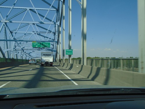
US-395 North - Entering Pasco and Franklin County
Entering Pasco and Franklin County (not signed) on US-395 north. Picture taken on the Blue Bridge over the Columbia River between Kennewick and Pasco.
