Signs From October 2018
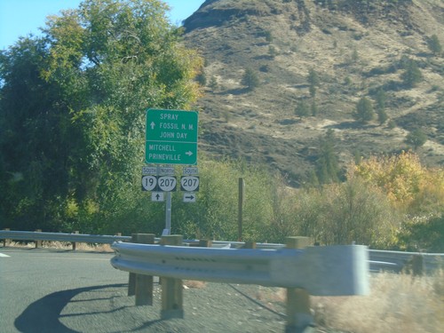
OR-19 South at OR-207
OR-19 South at OR-207 in Service Creek. Use OR-207 south for Mitchell and Prineville. Use OR-19 South/OR-207 North for Spray, (John Day) Fossil (Beds) National Monument (Sheep Rock Unit), and John Day. OR-207 north joins OR-19 south to Spray.
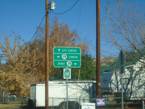
End OR-218 East at OR-19
End OR-218 East at OR-19 in Fossil. Turn left for OR-19 north to Condon; left for OR-19 south to Spray. Continue straight on Washington St. for (Fossil) City Center.
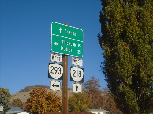
OR-218 West at OR-293 West - Antelope
OR-218 West at OR-293 West in Antelope. Turn left for OR-293 West to Willowdale and Madras; continue straight on OR-218 for Shaniko.
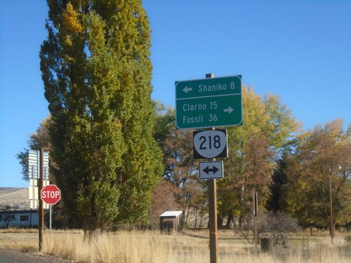
End OR-293 East at OR-218
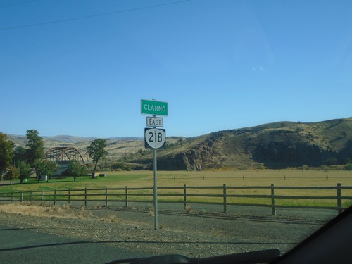
End OR-293 East at OR-218 in Antelope. Use OR-218 west to Shaniko; OR-218 east to Clarno and Fossil.
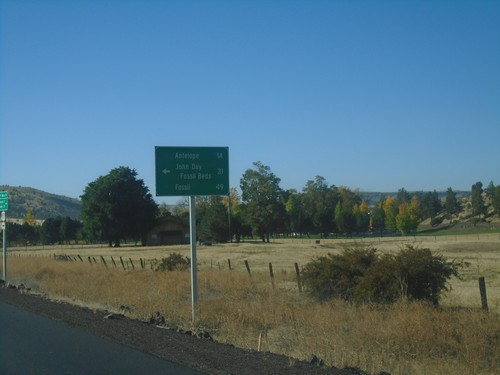
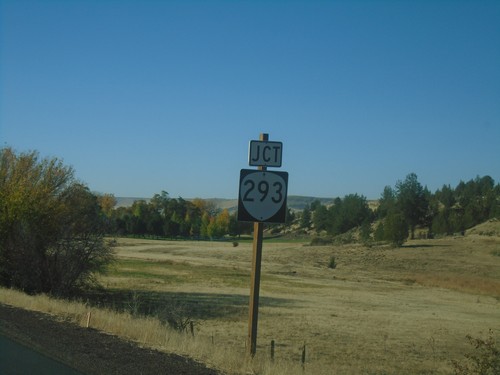
US-97 South at OR-293
US-97 south at OR-293. Use OR-293 east to Antelope, John Day Fossil Beds, and Fossil.
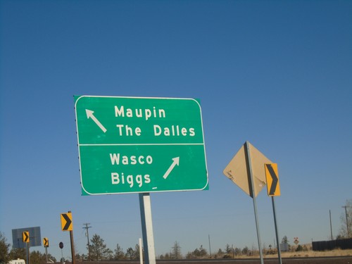
US-97 North at US-197 - Wasco County
US-97 North at US-197 in Wasco County. Use US-197 north for Maupin and The Dalles; US-97 North for Wasco and Biggs.
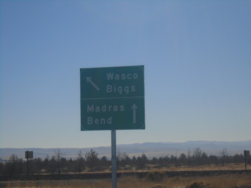
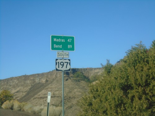
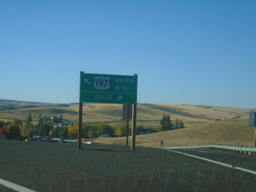
End US-197 South Approaching US-97
End US-197 South approaching US-97. Use US-97 south for Madras and Bend; US-97 north for Biggs and Wasco.
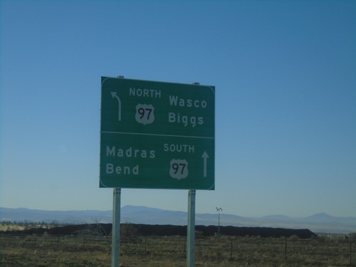
US-197 South Approaching US-197
US-197 South approaching US-197. Use US-97 north for Wasco and Biggs; US-97 south for Madras and Bend.
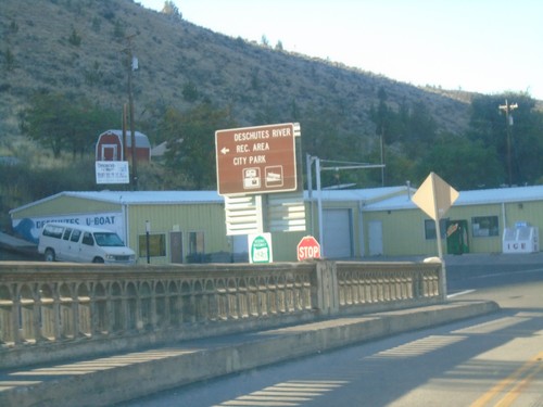
US-197 South - Deschutes River Recreation Area
US-197 South at Deschutes River Recreation Area/City Park (Bakeoven Road) junction.
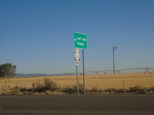
US-197 North at OR-216 West
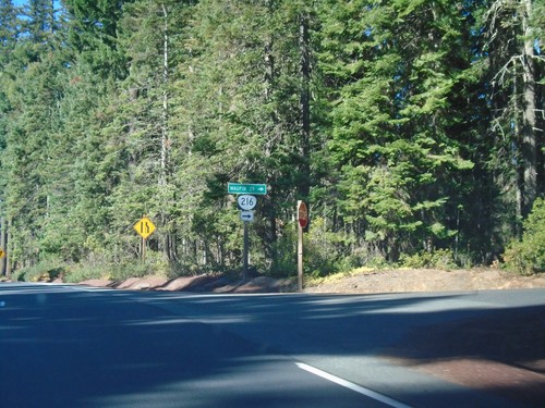
US-197 North at OR-216 West to Government Camp and Portland. OR-216 East joins US-197 North to Tygh Valley.
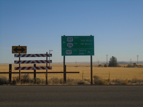
OR-216 East at US-197
OR-216 East at US-197 in Wasco County. Turn right for US-197 South to Maupin and Bend. OR-216 East joins US-197 north to Tygh Valley. Turn left for US-197 North/OR-216 East to Tygh Valley and The Dalles.
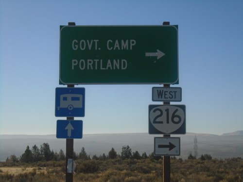
US-197 South/OR-216 West at US-197/OR-216 Split
US-197 South/OR-216 West at US-197/OR-216 Split. Turn right for OR-216 West to Government Camp and Portland.
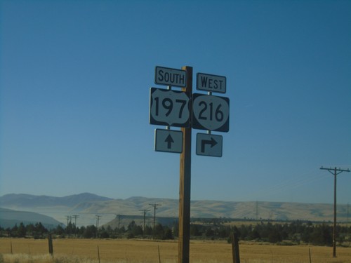
US-197 South/OR-216 West at US-197/OR-216 Split
US-197 South/OR-216 West at US-197/OR-216 Split in Wasco County.
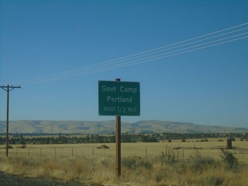
US-197 South/OR-216 West Approaching US-197/OR-216 Split
US-197 South/OR-216 West approaching US-197/OR-216 Split. Turn right for OR-216 West to Government Camp and Portland.
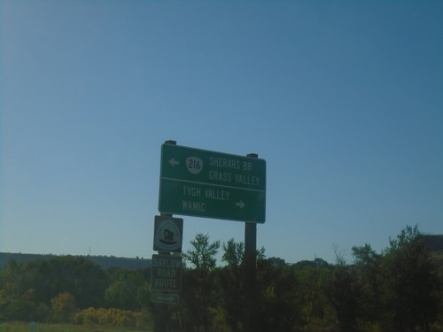
US-197 South at OR-216 East
US-197 South at OR-216 East to Sherars Bridge and Grass Valley. Turn right for Tygh Valley and Wamic. OR-216 west joins US-197 southbound.
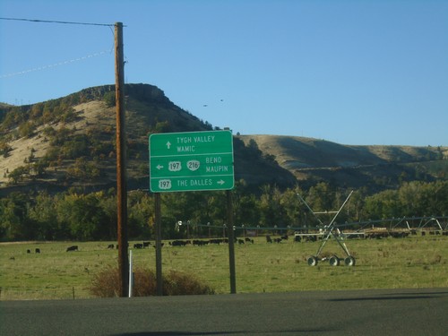
OR-216 West at US-197
OR-216 West at US-197 in Wasco County. Use US-197 north for The Dalles; turn left for US-197 South/OR-216 West for Bend and Maupin; continue straight for Tygh Valley and Wamic. OR-216 west joins US-197 southbound.
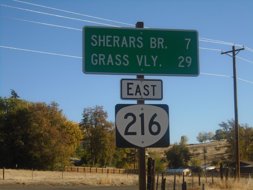
OR-216 East - Distance Marker
Distance marker on OR-216 east. Distance to Sherars Bridge and Grass Valley.
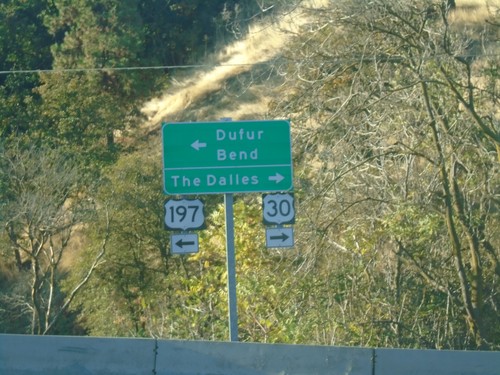
US-197 South/US-30 West at Split
US-197 South/US-30 West at US-197/US-30 split. Turn right for US-30 west to The Dalles. Turn left for US-197 south to Dufur and Bend.
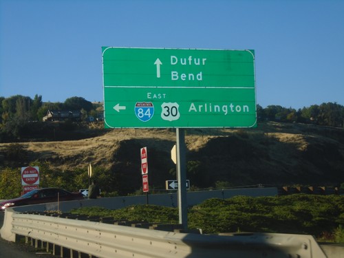
US-197 South/US-30 West at I-84 East
US-197 South/US-30 West at I-84/US-30 East to Arlington. Continue on US-197 South/US-30 West for Dufur and Bend.
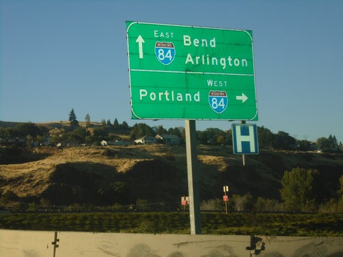
US-197 South at I-84
US-197 south at I-84 West. Use I-84 west to Portland. Continue over freeway for I-84 east to Arlington. Continue south on US-197 for Bend.
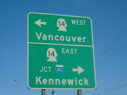
End US-197 North at WA-14
End US-197 North at WA-14. Use WA-14 west for Vancouver; WA-14 east for Kennewick.
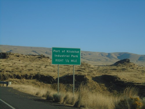
US-197 North - Port of Klickitat
US-197 north approaching Port of Klickitat/Industrial Park junction.
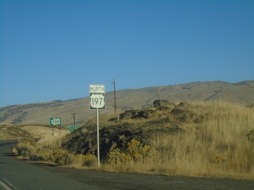
US-197 North - Welcome To Washington
First US-197 north shield in Washington. In the background is the Welcome To Washington sign.
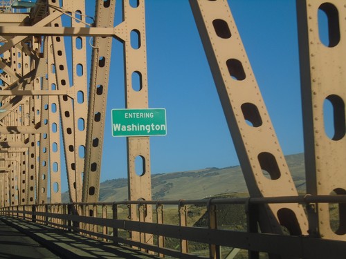
US-197 North - Entering Washington
Entering Washington on US-197 North. Taken on a bridge over the Columbia River.
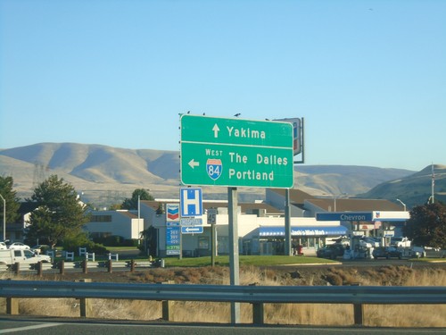
US-197 North at I-84 East
US-197 North at I-84 East to The Dalles and Portland. Continue north on US-197 for Yakima (Washington).
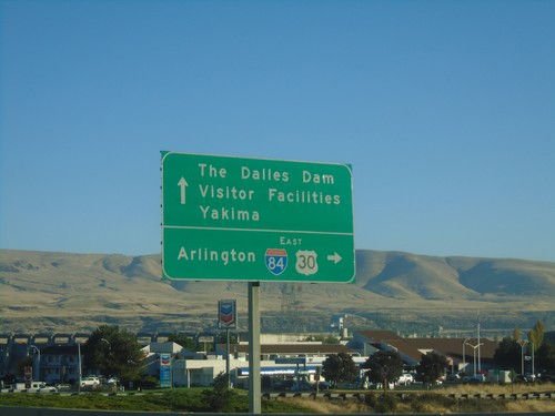
US-197 North/US-30 East at I-84 East
US-197 North/US-30 East at I-84 East to Arlington. Continue north on US-197 for The Dalles Dam Visitor Facilities and Yakima (Washington). US-30 east joins I-84 eastbound to Pendleton.
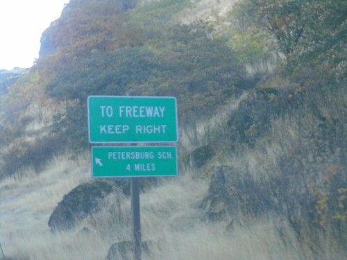
US-30 East - SE Frontage Road
US-30 East at SE Frontage Road. Turn left for the Petersburg School. Merge right for (I-84) Freeway.
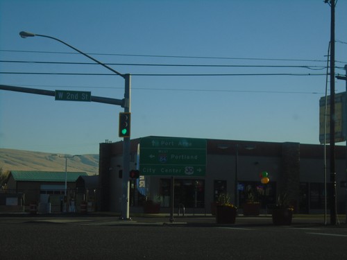
US-30 East - Webber St. at W 2nd St.
US-30 East - Webber St. at W 2nd St. Turn left for I-84 West to Portland; right for US-30 East to (The Dalles) City Center. Continue on Webber St. for Port Areas.
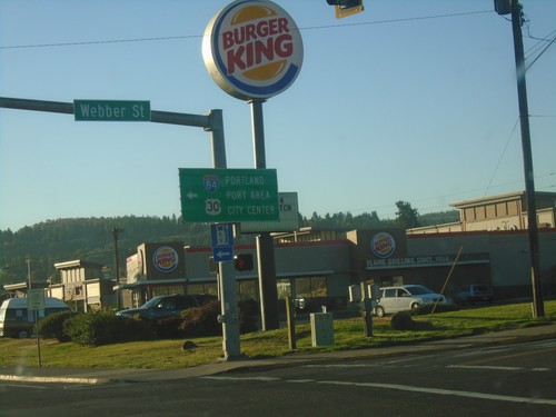
US-30 East at Webber St.
US-30 East (W 6th St.) at Webber St. in The Dalles. Turn left on Webber St. to continue east on US-30 for (The Dalles) City Center and Port Area. Also turn left for I-84 West to Portland.
US-30 West - The Dalles
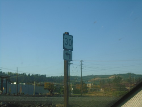
US-30 West (W 2nd St.) at Webber St. Turn left ton Webber St. to continue on US-30 west.
US-30 East at I-84 East
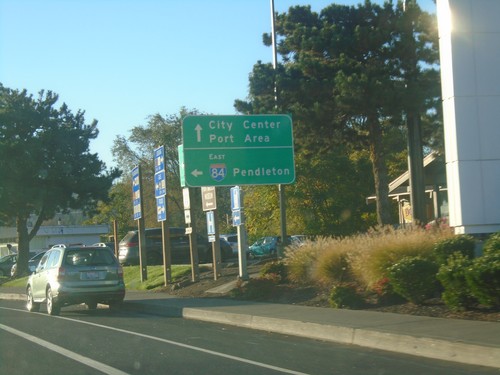
US-30 East at I-84 East to Pendleton. Continue east on US-30 for Port Areas and City Center (The Dalles).
US-30 East - Port Areas
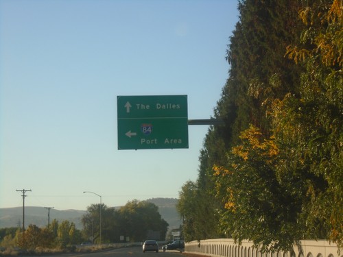
US-30 east at River Road to I-84 (Exit 82) and Port Areas. Continue east on US-30 for The Dalles.
Historic US-30 East - Wasco County
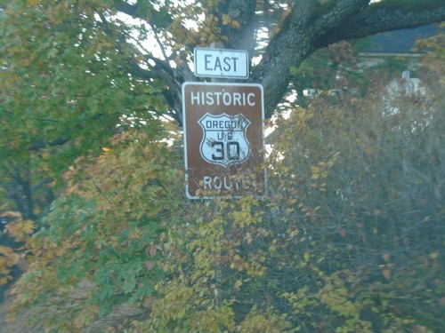
Historic US-30 East in Wasco County. US-30 is signed like this throughout the Columbia River Gorge.
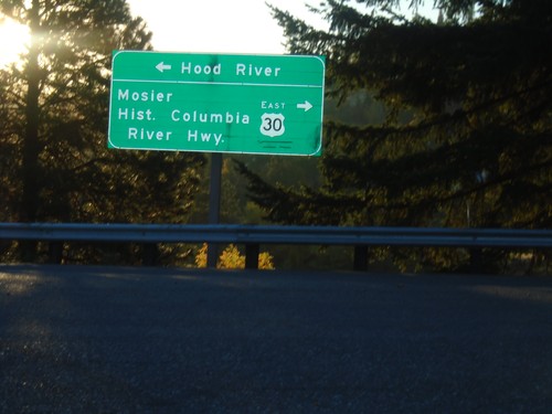
I-84 Exit 69 Offramp at US-30
I-84 Exit 69 Offramp at US-30. Turn left to return to I-84 Westbound to Hood River; turn right for US-30/Moiser/Historic Columbia River Highway.
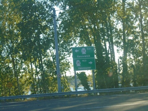
End Washougal River Road at WA-14
End Washougal River Road at WA-14. Use WA-14 west for Vancouver; WA-14 east for Kennewick.
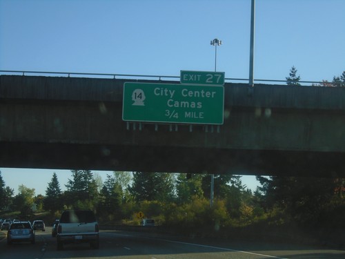
I-205 South - Exit 27
I-205 south approaching Exit 27 - WA-14/Camas/(Vancouver)City Center. WA-14 is the last exit on I-205 southbound in Washington.
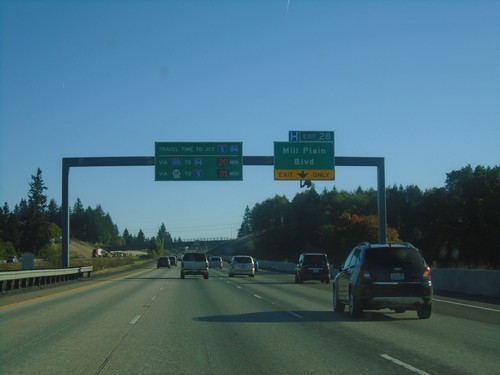
I-205 South - Exit 28
I-205 South approaching Exit 28 - Mill Plain Blvd. Travel times to I-84/I-5 Junction (Downtown Portland, Oregon). On this Saturday afternoon it was 20 minutes to I-84/I-5 via I-205 and I-84; 31 minutes via WA-14 and I-5.
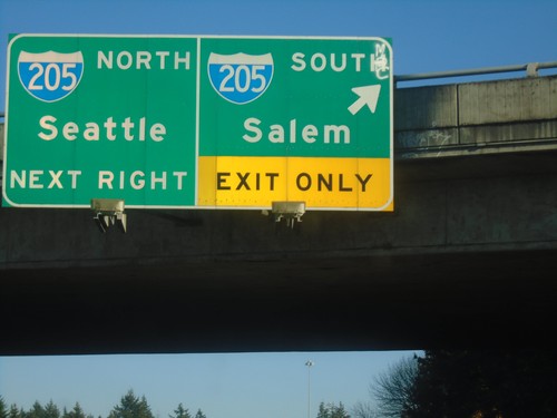
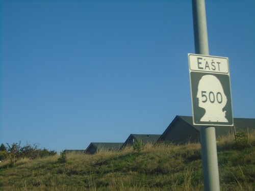
WA-500 East at I-205 - Vancouver
WA-500 East at I-205 in Vancouver. Use I-205 South for Salem (Oregon); I-205 North for Seattle.
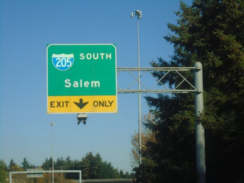
WA-500 East Approaching I-205 South
WA-500 East approaching I-205 South in Vancouver. Use I-205 South for Salem (Oregon).
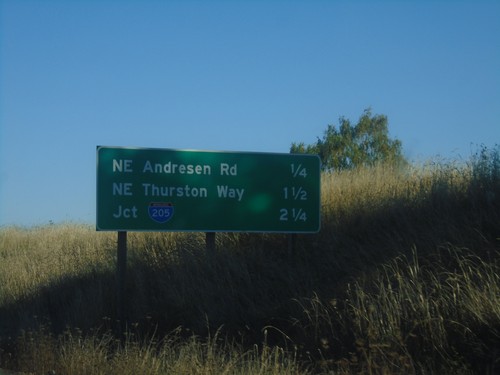
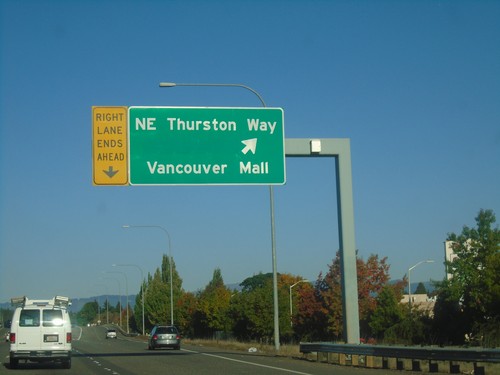
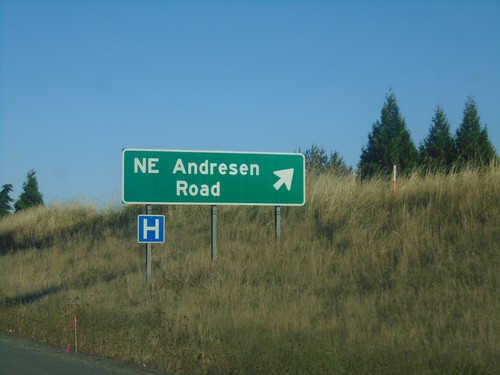
WA-500 East - Distance Marker
Distance marker on WA-500 East. Distance to NE Andresen Road, NE Thurston Way, and I-205.
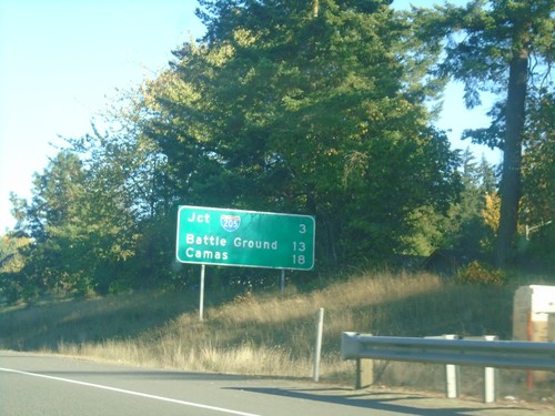
WA-500 East - Distance Marker
Distance marker on WA-500 east. Distance to I-205, Battle Ground, and Camas.
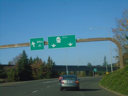
I-5 North - WA-500 East Ramps
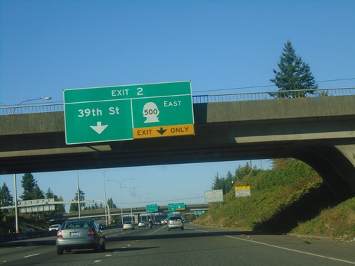
I-5 North (Exit 2) ramp to WA-500 East. Left exit for 39th St. Use right lanes for WA-500 East.
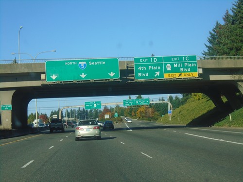
I-5 North - Exit 1C and Exit 1D
I-5 north at Exit 1C - WA-501/Mill Plain Blvd. and Exit 1D - 4th Plain Blvd. I-5 continues north to Seattle.
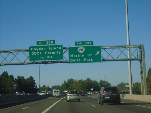
I-5 North Exits 307 and 308
I-5 north at Exit 307 - OR-99E/Delta Park/Marine Drive, and approaching Exit 308, Hayden Island/DOT Permits. Exit 308 is the last exit in Oregon on I-5.
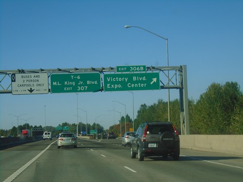
I-5 North - Exit 306B
I-5 north at Exit 306B - Victory Blvd./Expo Center. Use Exit 307 for T-6 (Terminal 6)/Martin Luther King Jr. Blvd.
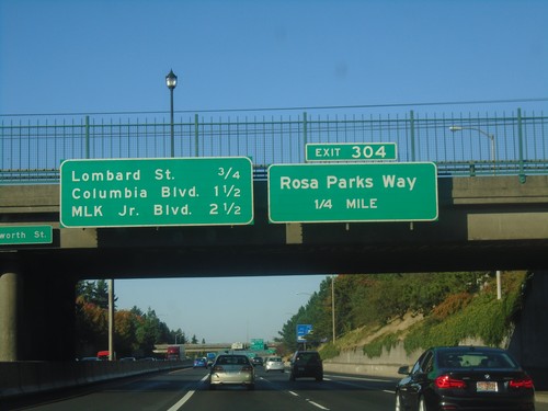
I-5 North - Exit 304
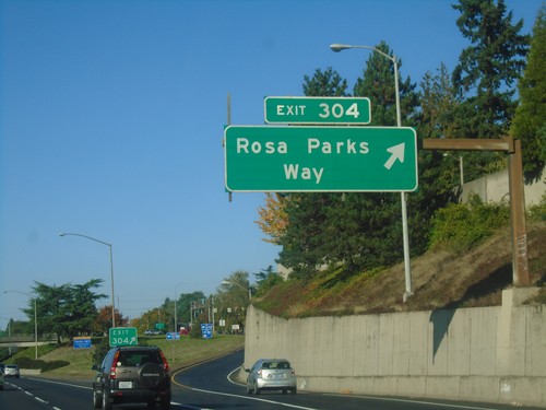
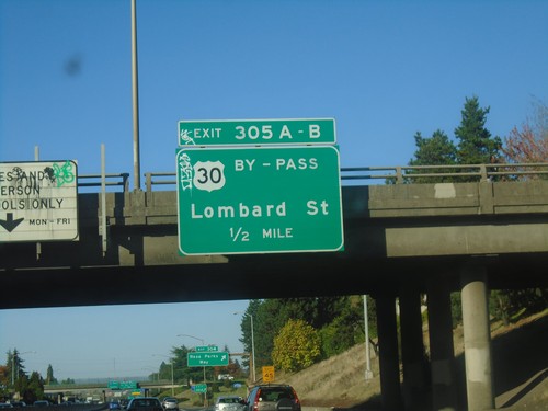
I-5 north approaching Exit 304, Rosa Parks Way. Distance marker for next three exits - Lombard Ave., Columbia Blvd., and Martin Luther King Jr Blvd.
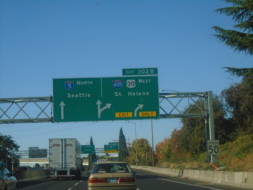
I-5 North - Exit 302B
I-5 north approaching Exit 302B - I-405 South/US-30 West/St. Helens. US-30 westbound leaves I-5 northbound here. Continue north on I-5 for Seattle.
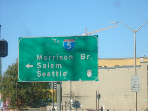
OR-99E North at Morrison St.
OR-99E North (SE Grand Ave.) at Morrison St. Turn left for I-5, Morrison Bridge, Salem (via I-5 South), and Seattle (via I-5 North).
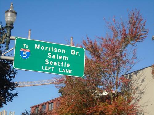
OR-99E North Approaching Morrison St.
OR-99E North (SE Grand Ave.) approaching Morrison St. west to I-5, Morrison Bridge, Salem (via I-5 South) and Seattle (via I-5 North).
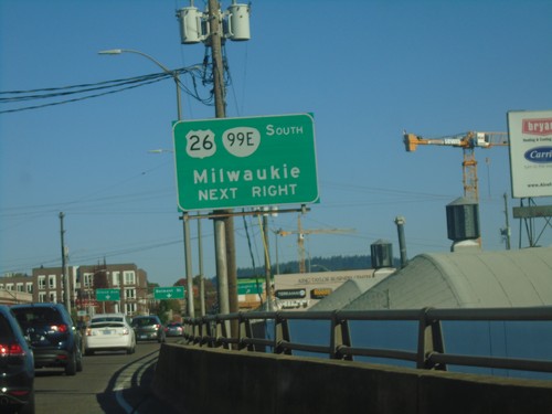
SE Belmont St. East Approaching OR-99E
SE Belmont St. East approaching OR-99E/(To) US-26 East/(MLK Blvd.) to Milwaukee.
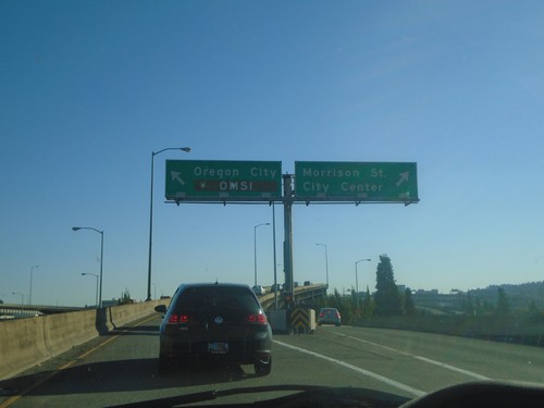
I-5 South - Exit 300B Offramp
I-5 South - Exit 300B Offramp in Portland. Use right lane for Morrison St./City Center. Use left lane for Oregon City and OMSI (Oregon Museum of Science and Industry).
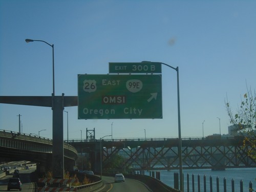
I-5 South - Exit 300B
I-5 south at Exit 300B - US-26 East/OR-99E/OMSI (Oregon Museum of Science and Industry)/Oregon City. The Willamette River is in the background.
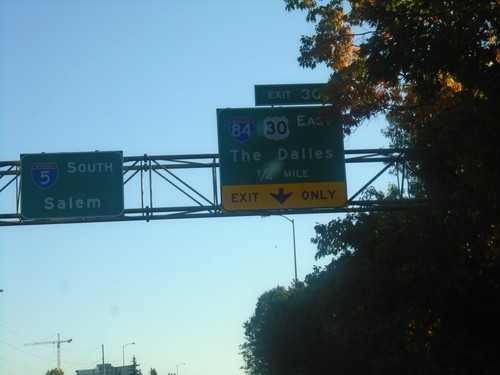
I-5 South Approaching Exit 301
I-5 South approaching Exit 301 - I-84/US-30 West/The Dalles. I-84 eastbound begins here, and ends in northeastern Utah. Continue on I-5 south for Salem.
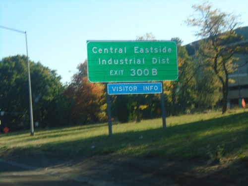
I-5 South Approaching Exit 300B
I-5 south approaching Exit 300B. Use Exit 300B for Central Eastside/Industrial District.
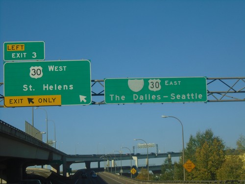
I-405 North at Exit 3
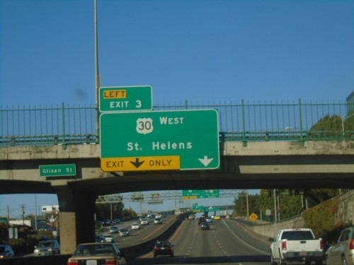
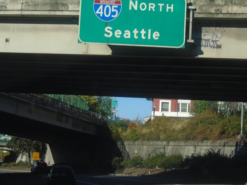
I-405 north at Exit 3 - US-30 West/St. Helens. US-30 east joins I-405 north across the Willamette River. Use I-405 North/US-30 East for The Dalles (via I-5 and I-84) and Seattle (I-5).
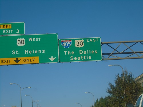
I-405 North - Exit 3
I-405 north approaching Exit 3 - US-30 West/St. Helens. Continue on I-405 North/US-30 West for Seattle (via I-5) and The Dalles (via US-30 and I-84).
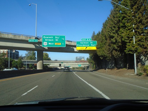
I-405 North - Exit 2A
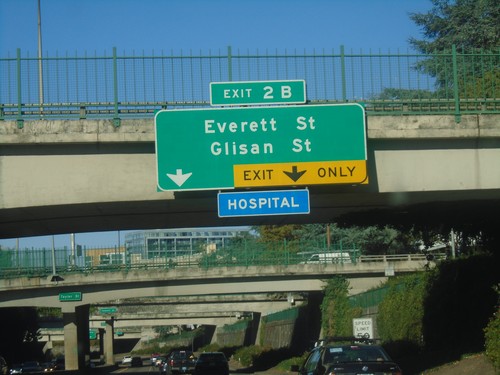
I-405 north at Exit 2A - Salmon St./Providence Park. Approaching Everett St./Glisan St. interchange, and US-30 west interchange.
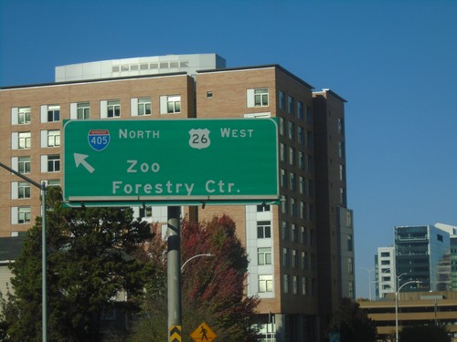
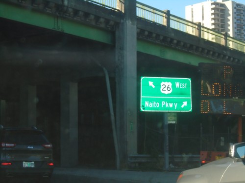
US-26 West at I-405 North - Portland
US-26 West (SW 6th Ave.) at I-405 North in Portland. Use I-405 North/US-26 West for the Zoo and Forestry Center. US-26 west joins I-405 northbound.
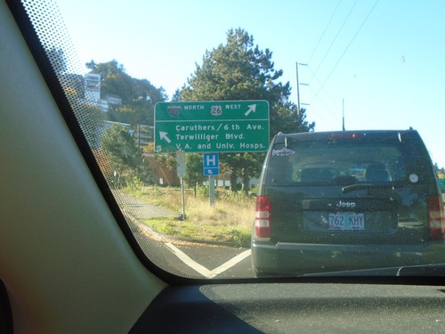
US-26 West at SW Caruthers Ave.
US-26 West at SW Caruthers Ave. Merge left for Caruthers Ave., 6th Ave, Terwilliger Blvd, VA Hospital, and University Hospital. Merge right to continue west on US-26 and for I-405 junction.
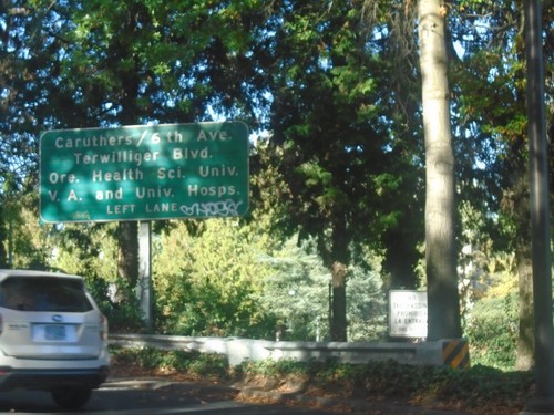
US-26 West Approaching SW Caruthers Ave
US-26 West approaching SW Caruthers Ave in Portland. use SW Caruthers Ave. for 6th Ave, Terwilliger Blvd., Oregon Health Sciences University, VA Hospital, and University Hospital.
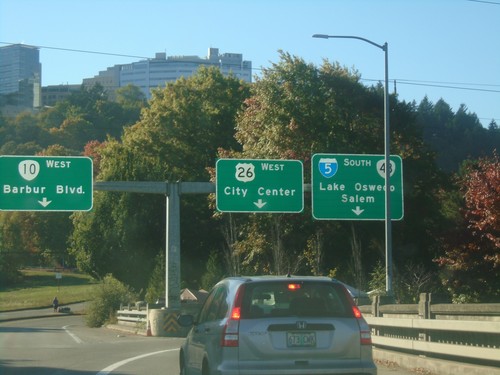
US-26 West at I-5/OR-10/OR-43 in Portland
US-26 West at I-5/OR-10/OR-43 in Portland. Use right lane for I-5 South and OR-43 to Lake Oswego (OR-43) and Salem (I-5). Use outer right lane for US-26 West to (Portland) City Center. Use left lane for OR-10 West/Barbur Blvd.
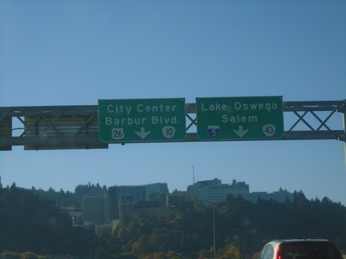
US-26 West on the Ross Island Bridge
US-26 West on the Ross Island Bridge approaching I-5, OR-10, and OR-43. Use right lane for I-5 and OR-43 to Salem (I-5) and Lake Oswego (OR-43). Use left lanes for US-26 and OR-10 to City Center (Portland - via US-26) and Barbur Blvd. (OR-10).
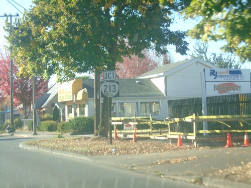
US-26 West Approaching OR-213
US-26 West (SE Powell Blvd.) approaching OR-213 (SE 82nd Ave) in Portland.
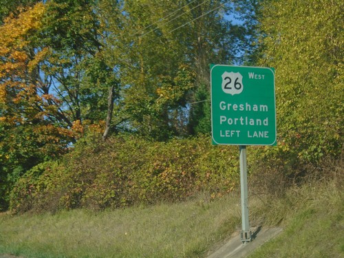
US-26 West Approaching Powell Valley Blvd.
US-26 West approaching Powell Valley Blvd. in Gresham. Use left lane (Powell Blvd.) to continue west on US-26 to Gresham and Portland.
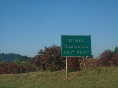
US-26 West Approaching OR-212
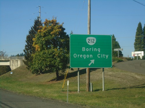
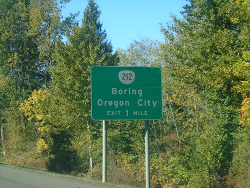
US-26 West approaching OR-212 in Clackamas County. Use OR-212 west for Damascus and Orient.
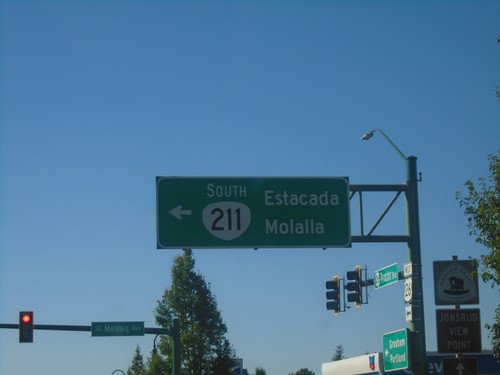
US-26 West at OR-211 South
US-26 West at OR-211 South in Sandy. Use OR-211 south for Estacada and Molalla.
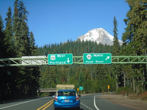
US-26 West at OR-35 North
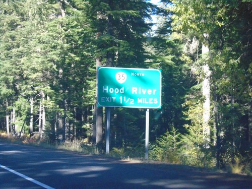
US-26 West at OR-35 North. Use OR-35 North for Hood River; US-26 West for Portland. Mount Hood is in the background of the photograph.
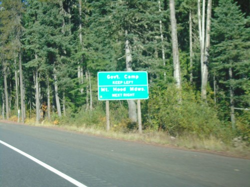
US-26 West Approaching OR-35
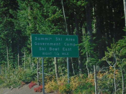
US-26 West approaching OR-35 in Clackamas County. Use OR-35 north for Mount Hood Meadows Ski Area; US-26 West for Government Camp.
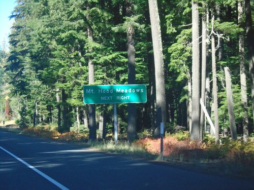
US-26 West - Mount Hood Meadows
US-26 west approaching OR-35 North. Use OR-35 north for Mount Hood Meadows Ski Area.
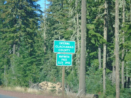
US-26 West - Clackamas County / Wapinita Pass
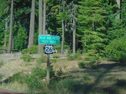
US-26 West at Clackamas County and Wapinita Pass - Elevation 3952 Feet. Wapinita Pass is at the crest of the Cascade Range.
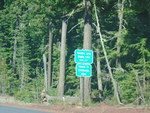
US-26 West - Timothy Lake/Olallie Lake Jct.
US-26 West approaching Timothy Lake/Olallie Lake Jct. (FS Road 42 - Skyline Road). Use FS Road 42 for access to the Clackamas River.
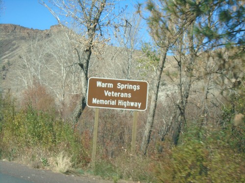
US-26 West - Warm Springs Veterans Mem. Highway
US-26 West - Warm Springs Veterans Memorial Highway. US-26 is designated the Warm Springs Veterans Memorial Highway through the Warm Springs Indian Reservation.
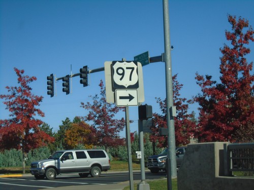
US-97 North/US-26 West at US-26/US-97 Split
US-97 North/US-26 West at US-26/US-97 Split. Turn right to continue north on US-97.
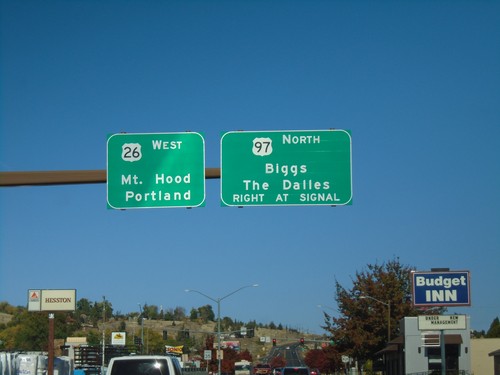
US-97 North/US-26 West Approaching US-97/US-26 Split
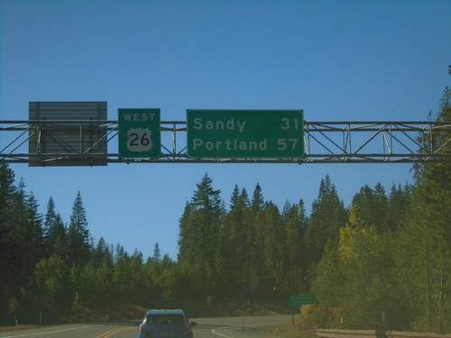
US-97 North/US-26 West Approaching US-97/US-26 split in Madras. Turn right for US-97 North to Biggs and The Dalles. Continue straight for US-26 West to Mount Hood and Portland.
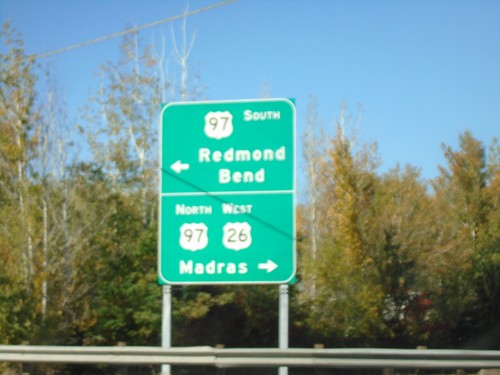
US-26 West at US-97 - Jefferson County
US-26 West at US-97 in Jefferson County. Turn left for US-97 south to Redmond and Bend; turn right for US-97 North/US-26 West to Madras. US-26 West joins US-97 North through Madras.
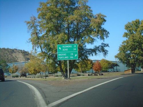
US-26 West at OR-126 - Prineville
US-26 West at OR-126 in Prineville. Turn right for US-26 west to Madras and Portland; turn left for OR-126 west to Redmond and Bend.
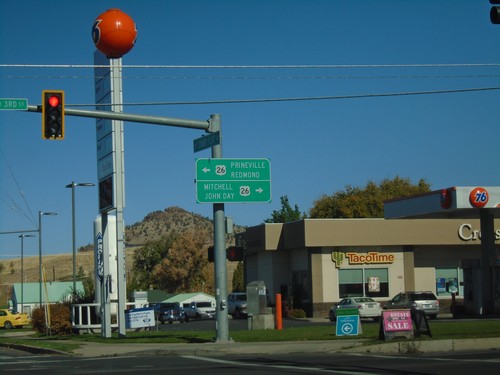
End OR-380 West at US-26
End OR-380 West at US-26 in Prineville. Use US-26 east for Mitchell and John Day; US-26 west for Prineville and Redmond (via OR-126).
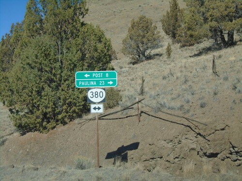
Pine Creek Road at OR-380
Pine Creek Road at OR-380. Turn left for OR-380 west to Post; right for OR-380 east to Paulina.
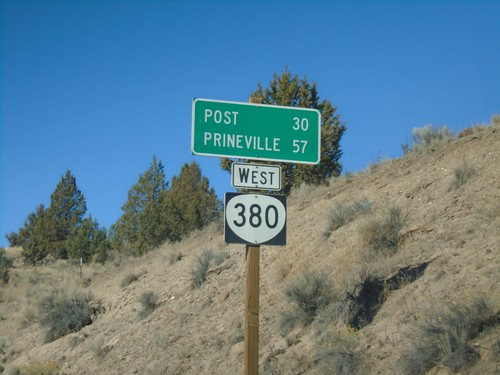
OR-380 West - Distance Marker
Distance marker on OR-380 west. Distance to Post and Prineville. This is the first OR-380 shield on OR-380 westbound.
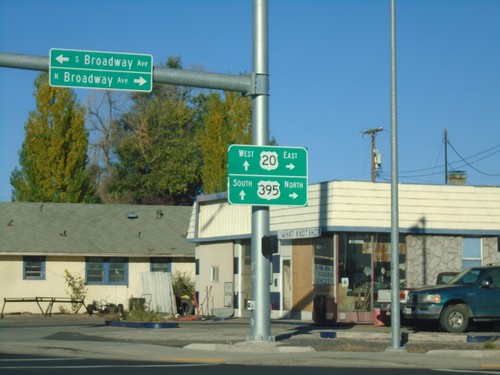
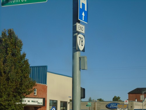
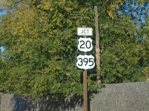
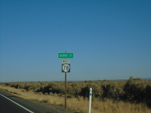
End OR-78 at US-20/US-395
End OR-78 at US-20/US-395 in Burns. Turn right for US-20 East/US-395 North; continue straight for US-20 West/US-395 South.
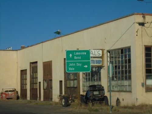
OR-78 West Approaching US-20/US-395
OR-78 West Approaching US-20/US-395 in Burns. Turn right for US-20 East/US-395 North to John Day (via US-395) and Vale (via US-20). Continue straight for US-20 West/US-395 South to Lakeview (via US-395) and Bend (via US-20).
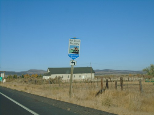
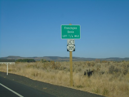
OR-78 West at OR-205 Junction
OR-78 West at OR-205 Junction. Turn left for the High Desert Discovery Scenic Byway.
OR-78 West - Princeton Post Office
OR-78 west approaching Diamond Jct. Turn left for Princeton Post Office.
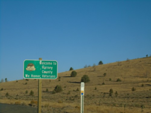
OR-78 West - Harney County
Entering Harney County on OR-78 west. Many of the eastern Oregon counties have a tagline on their county welcome sign saying “We Honor Veterans”.
