Signs From December 2018
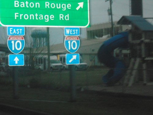
Causeway Blvd. Service Road at I-10
Causeway Blvd. Service Road at I-10 in Metairie. Use I-10 west for Baton Rouge and Frontage Road.
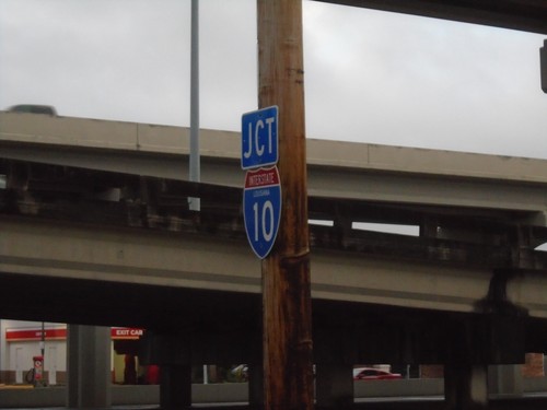
Causeway Blvd. Service Road South approaching I-10
Causeway Blvd. Service Road South approaching I-10 in Metairie.
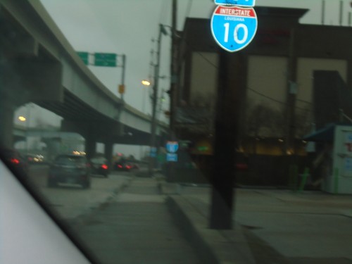
Causeway Blvd. Service Road South Approaching I-10
Causeway Blvd. Service Road South approaching I-10.
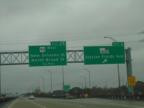
I-610 West - Exits 3 and 2B
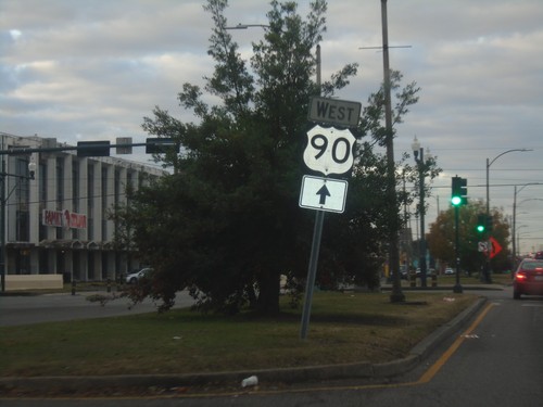
I-610 west at Exit 3 - LA-3021/Elysian Fields Ave. Approaching Exit 2B - US-90 West/New Orleans St./North Broad St.
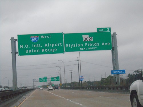
I-610 West - Exit 3
I-610 west approaching Exit 3 - LA-3021/Elysian Fields Ave. Continue west on I-610 for New Orleans International Airport and Baton Rouge.
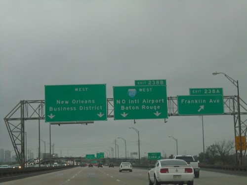
I-10 West - Exits 238A and 238B
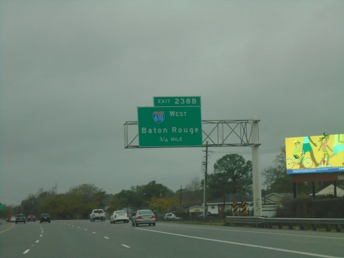
I-10 west at Exit 238B - Franklin Ave. Approaching Exit 238A - I-610 West/New Orleans International Airport/Baton Rouge. Continue west on I-10 for New Orleans Business District.
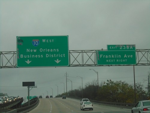
I-10 West - Exit 238A
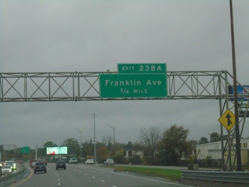
I-10 west approaching Exit 238A - Franklin Ave. Continue west on I-10 to New Orleans Business District.
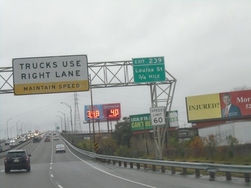
I-10 West - Exit 239
I-10 west approaching Exit 239 - Louisa Ave. Trucks Use Right Lane - Maintain Speed. Speed Limit 60.
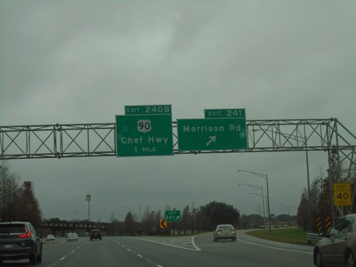
I-10 West - Exits 241 and 240B
I-10 west at Exit 241 - Morrison Road. Approaching Exit 240B - US-90/Chef Hwy.
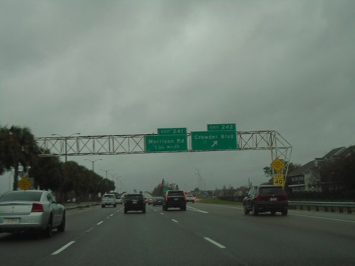
I-10 West - Exits 242 and 241
I-10 west at Exit 242 - Crowder Blvd. Approaching Exit 241 - Morrison Road.
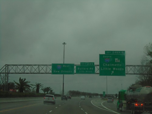
I-10 West - Exits 246A-B and 245
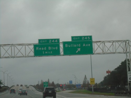
I-10 west at Exit 246A-B - I-510 South/LA-47/Chalmette/Little Woods. Approaching Exit 245 - Bullard Road. Continue west on I-10 for New Orleans.
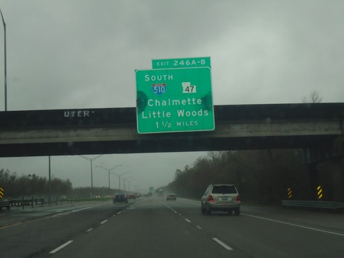
I-10 West - Exits 246A-B
I-10 west approaching Exits 246A-B - I-510 South/LA-47/Chalmette/Little Woods.
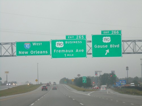
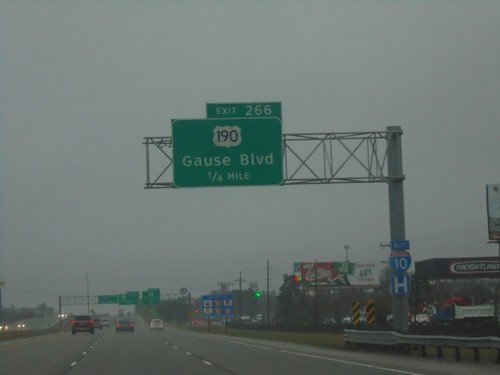
I-10 West - Exits 266 and 265
I-10 west at Exit 266 - US-190/Gause Blvd. Approaching Exit 265 - Bus. US-190/Fremaux Ave. Continue west on I-10 for New Orleans.
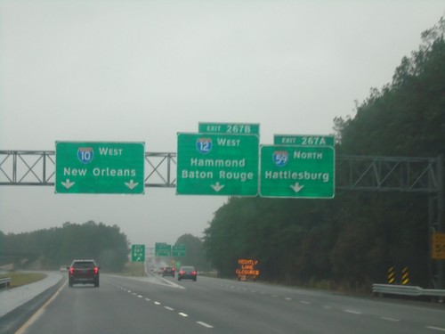
I-10 West - Exits 267B and 267A
I-10 west at Exit 267B - I-12 West/Hammond/Baton Rouge and Exit 267A - I-59 North/Hattiesburg (MS). Continue west on I-10 for New Orleans. This is the southern terminus of I-59 and the eastern terminus of I-12.
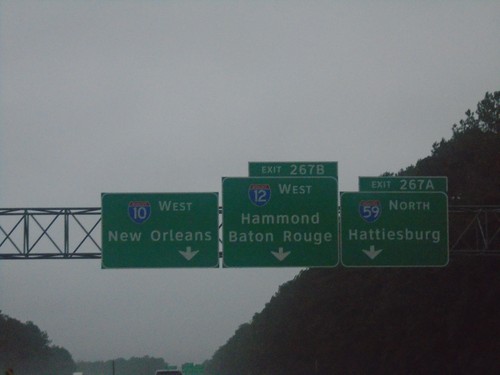
I-10 West - Exits 267A and 267B
I-10 west approaching Exit 267B - I-12 West/Hammond/Baton Rouge. Approaching Exit 267A - I-59 North/Hattiesburg (MS).
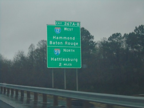
I-10 West - Exit 267A-B
I-10 West approaching Exit 267A-B - I-12 West/Hammond/Baton Rouge and I-59 North/Hattiesburg (MS).
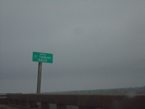
I-10 West - St. Tammany Parish
Enter St. Tammany Parish on I-10 west at the Pearl River bridge. Taken at the Mississippi-Louisiana State Line.
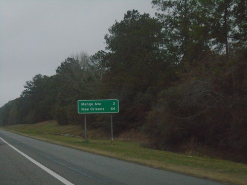
I-10 West - Distance Marker
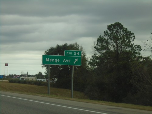
Distance marker on I-10 west. Distance to Menge Ave. and New Orleans (LA).
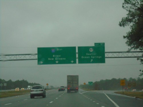
I-10 West - Exit 57
I-10 west at Exit 57 - MS-57/Gautier/Ocean Springs. Continue west on I-10 for Biloxi and New Orleans (LA).
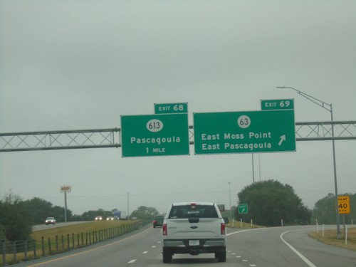
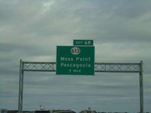
I-10 West - Exits 69 and 68
I-10 west at Exit 69 - MS-63/East Moss Point/East Pascagoula. Approaching Exit 68 - MS-613/Pascagoula.
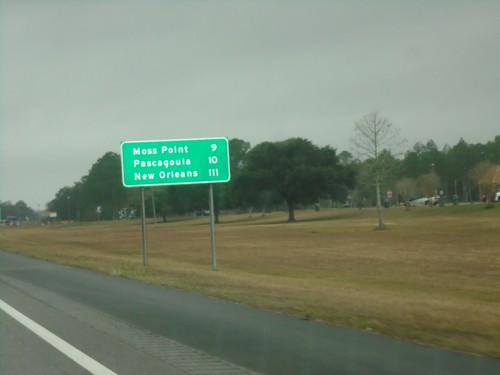
I-10 West - Distance Marker
First distance marker in Mississippi on I-10 westbound. Distance to Moss Point, Pascagoula, and New Orleans (LA).
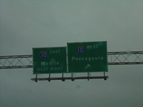
AL-193 South at I-10
AL-193 South at I-10 in Mobile. Use I-10 west for Pascagoula (MS); I-10 east for Mobile.
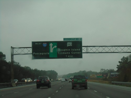
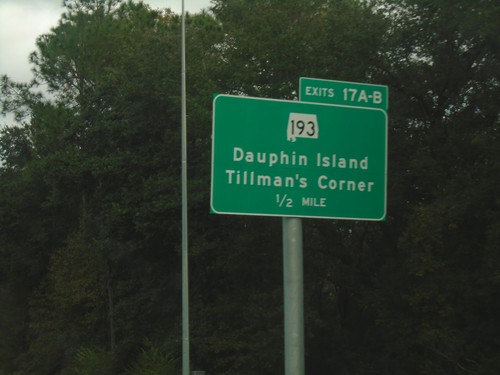
I-10 West - Exits 17A-B
I-10 west approaching Exits 17A-B - AL-193/Dauphin Island/Tillman’s Corner. Continue west on I-10 for Pascagoula (MS).
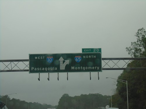
I-10 West Approaching Exit 20
I-10 west approaching Exit 20 - I-65 North/Montgomery. I-10 continues west towards Pascagoula (MS). This is the southern terminus of I-65.
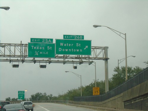
I-10 West - Exits 26B and 25A
I-10 west at Exit 26B - Water St./Downtown. Approaching Exit 25A - Texas St.
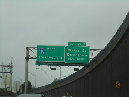
I-10 West - Exit 26B
I-10 west approaching Exit 26B - Water St./Downtown. Continue west on I-10 for Pascagoula (MS). Picture taken exiting the George Wallace Tunnel.
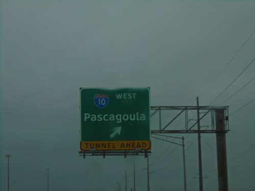
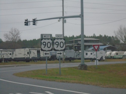
US-90/US-98 East at I-10 West - Mobile
US-90/US-98 East at I-10 West in Mobile. Use I-10 west for Pascagoula (Mississippi).
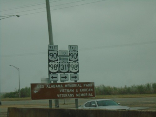
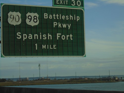
I-10 West - Exit 30 Offramp at US-90/US-98
I-10 West - Exit 30 Offramp at US-90/US-98 - Battleship Parkway. Turn left for US-90/US-98 West to USS Alabama Memorial Park/Vietnam and Korean Veterans Memorial. Turn left for US-90/US-98 East/To US-31.
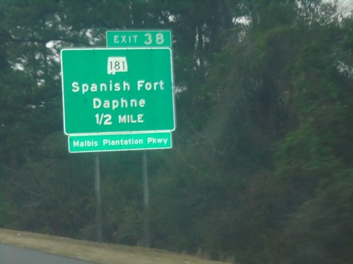
I-10 West - Exit 38
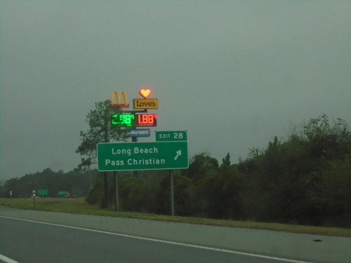
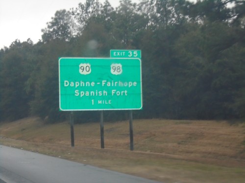
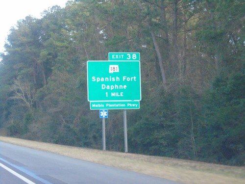
I-10 west approaching Exit 38 - AL-181/Spanish Fort/Daphne/Malbis Plantation Parkway.
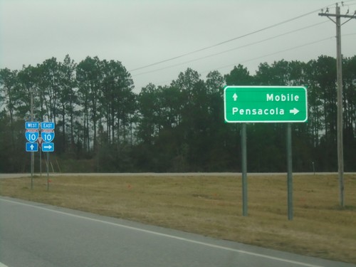
Baldwin Beach Express North at I-10
Baldwin Beach Express North at I-10 in Baldwin County. Use I-10 east for Pensacola (Florida); I-10 west for Mobile.
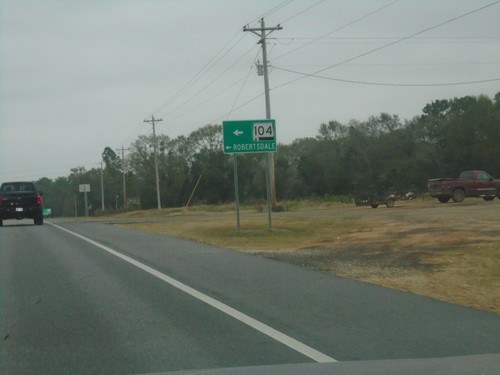
Baldwin Beach Express North at Sliver Hill Ave.
Baldwin Beach Express North at Sliver Hill Ave. Use Silver Hill Ave. west for AL-104 and Robertsdale.
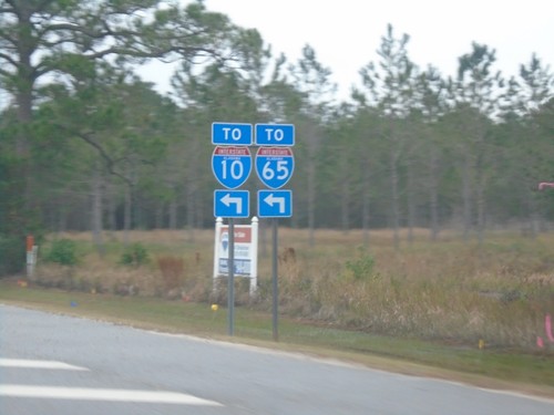
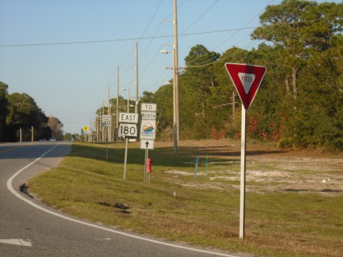
AL-180 East at Foley Beach Express
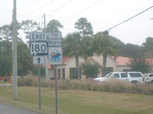
AL-180 East at Foley Beach Express. Use Foley Beach Express for access to I-10 and I-65.
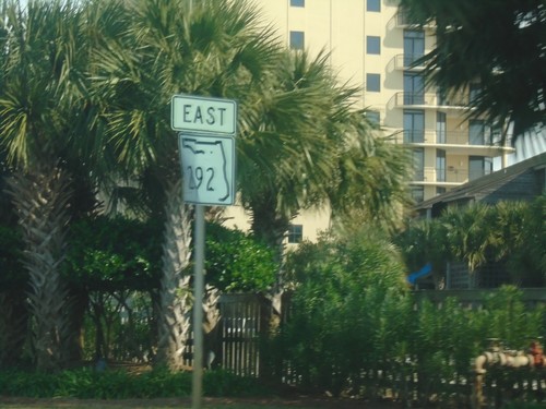
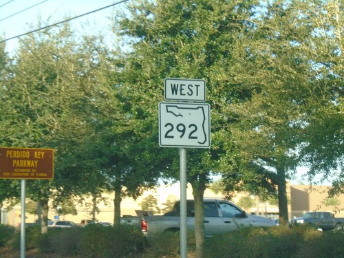
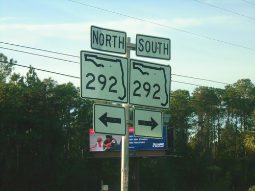
FL-292 East on Perdido Key
FL-292 East on Perdido Key, just east of the Alabama state line. This is the first FL-292 shield in Florida.
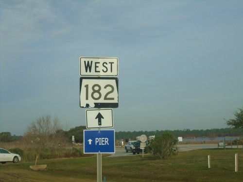
AL-182 East Approaching Gulf State Park Entrance
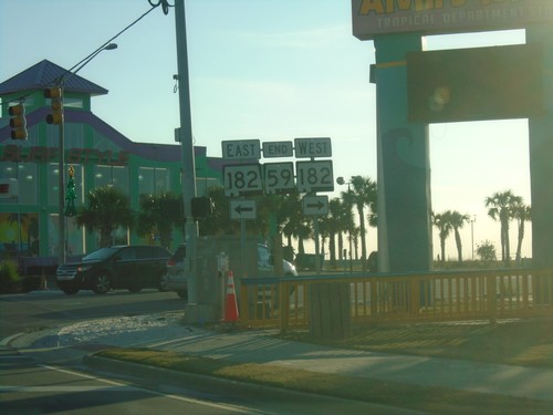
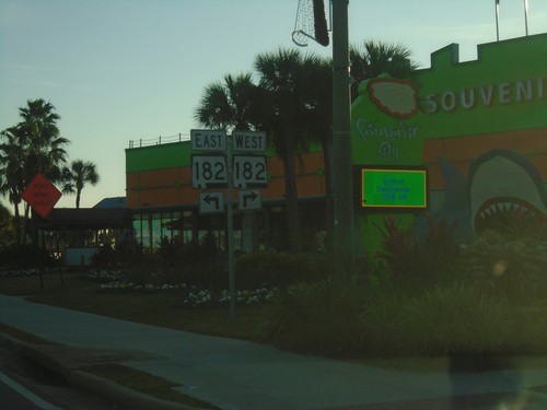
AL-182 East Approaching Gulf State Park Entrance. Continue straight for AL-182 to the Pier.
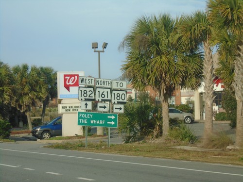
AL-182 West at AL-161 (To AL-180) - Orange Beach
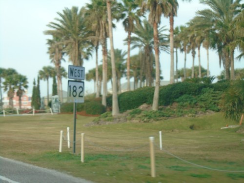
AL-182 West at AL-161 North (To AL-180) in Orange Beach. Turn right on AL-160 for Foley and The Wharf.
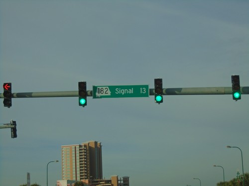
AL-182 West - Signal 13
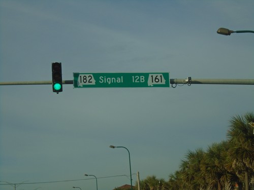
Signal 13 on AL-182 west in Orange Beach. The stop lights in Orange Beach are signed with the signal number and their milepost number. When multiple signals occur within a milepost, letters in alphabetical order are appended to the milepost.
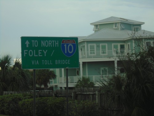
AL-182 West - Continue Straight for I-10 and Foley
AL-182 West - Continue Straight for I-10 and Foley via Toll Bridge (and AL-161).
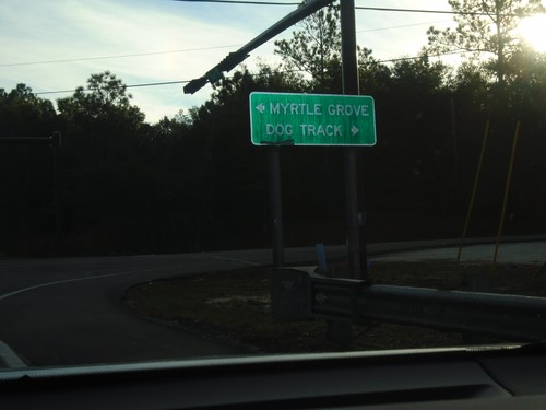
US-98 East at FL-298 and CR-297
US-98 East at FL-298 and CR-297 in Escambia County. Turn right for FL-298 East to Myrtle Grove; left for CR-297 to Dog Track.
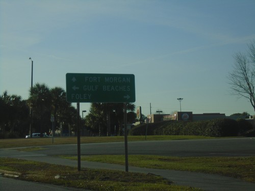
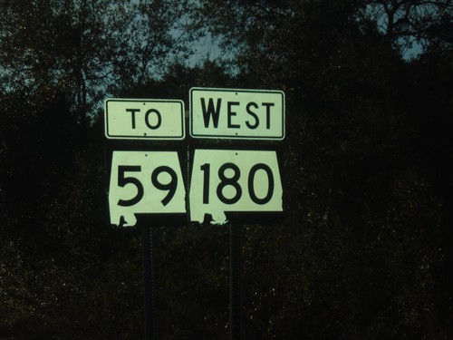
AL-180 West at AL-59
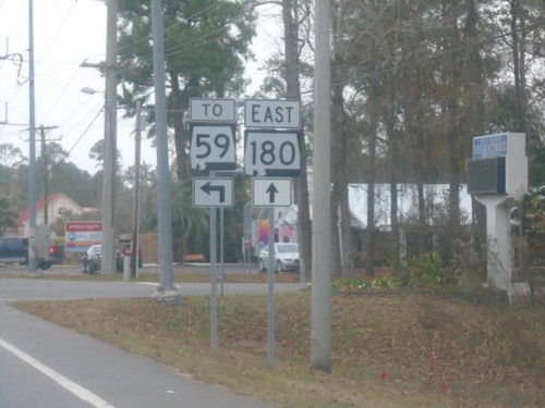
AL-180 West at AL-59 in Gulf Shores. Use AL-59 North for Foley; AL-59 south for Gulf Beaches. Continue west on AL-180 for Fort Morgan.
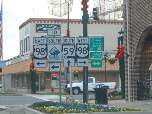
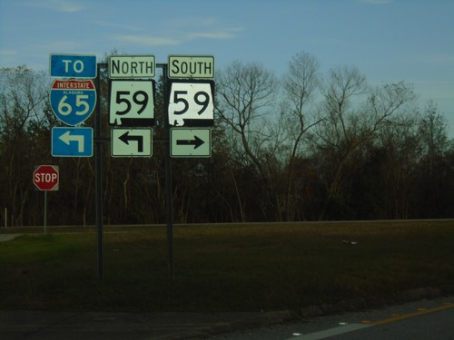
AL-59 South at US-98 - Foley
AL-59 South at US-98 in Foley. Use US-98 East for the Foley Beach Express. US-98 is the Coastal Connection Scenic Byway.
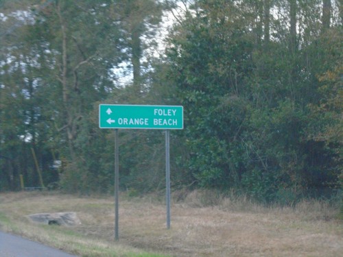
AL-59 South at Foley Beach Express
AL-59 South at Foley Beach Express to Orange Beach. Continue south on AL-59 for Foley.
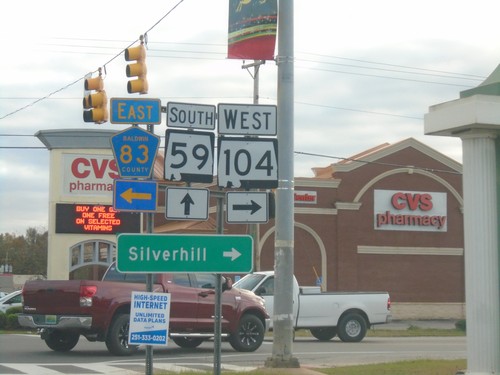
AL-59 South at AL-104/CH-83 - Robertsdale
AL-59 South at AL-104/CH-83 in Robertsdale. Turn right for AL-104 West to Silverhill; left for CR-83.
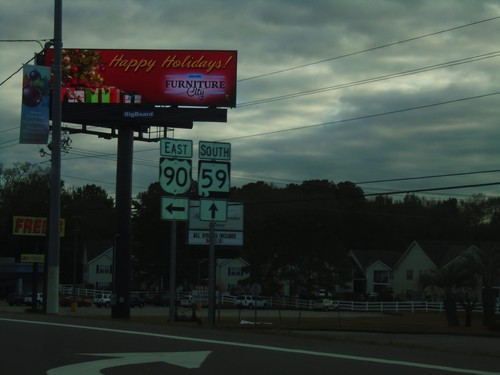
US-90 East/AL-59 South at US-90/AL-59 Split
US-90 East/AL-59 South at US-90/AL-59 Split in Robertsdale. Turn left to continue east on US-90.
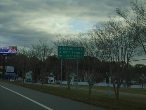
US-90 East/AL-59 South at US-90/AL-59 Split
US-90 East/AL-59 South at US-90/AL-59 Split in Robertsdale. Use US-90 East for Pensacola (Florida). Continue south on AL-59 for Robertsdale and Gulf Shores.
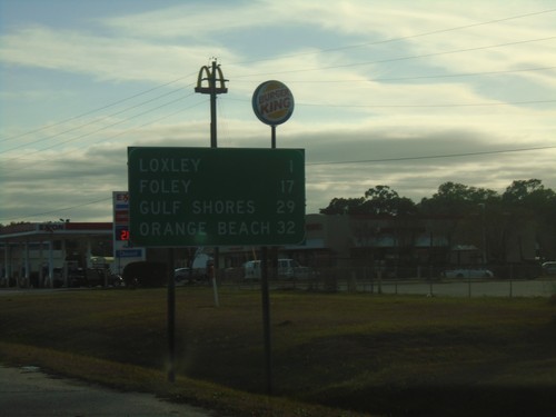
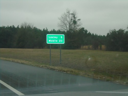
AL-59 South - Distance Marker
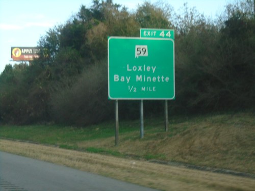
Distance marker on AL-59 south. Distance to Loxley, Foley, Gulf Shores, and Orange Beach.
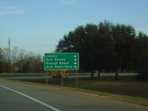
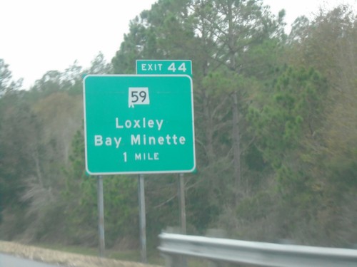
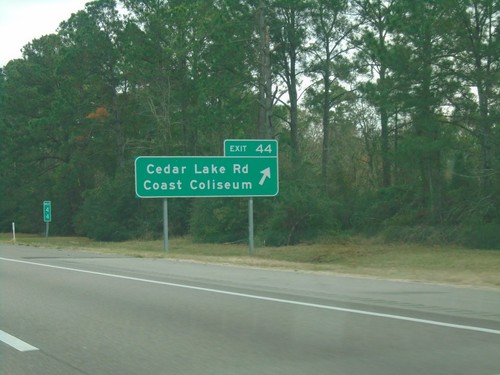
I-10 East - Exit 44 Offramp
I-10 East - Exit 44 offramp. Turn right on AL-59 for Loxley, Gulf Shores, Orange Beach, and Gulf State Park.
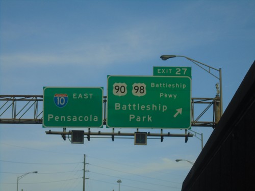
I-10 East - Exit 27
I-10 east at Exit 27 - US-90/US-98/Battleship Parkway/Battleship Park. Continue on I-10 east for Pensacola (FL).
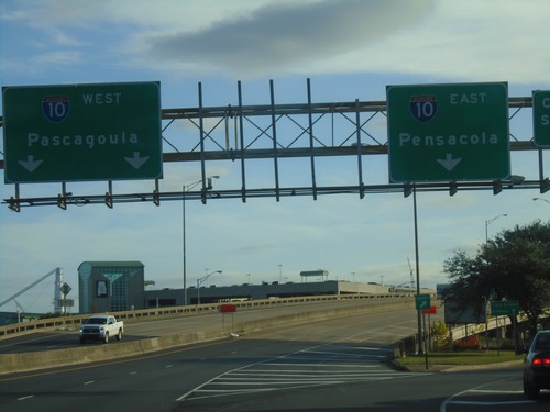
Water St. South at I-10
Water St. South at I-10 junction. Use I-10 west for Pascagoula (MS); I-10 east for Pensacola (FL).
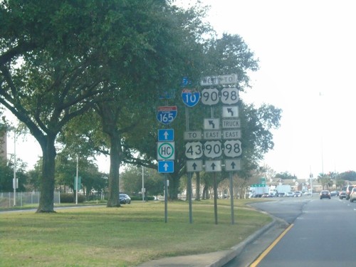
Water St. North at I-165 and US-90
Water St. North at I-165 and US-90 (Beauregard St.). Turn left for US-90 West/To I-10/To US-98. Continue straight for I-165/US-90 East/To US-43/To US-98 Truck
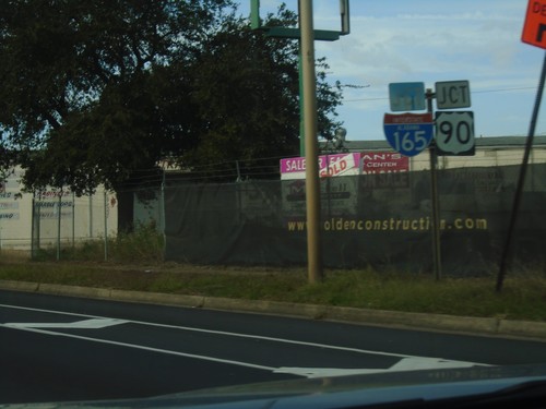
Water St. North Approaching I-165/US-90 Junction
Water St. North approaching I-165/US-90 Junction (Beauregard St.) in Mobile.
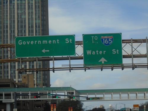
I-10 - Exit 26B Offramp at Government St.
I-10 - Exit 26B offramp at Government St. in Mobile. Continue straight on Water St. for I-165.
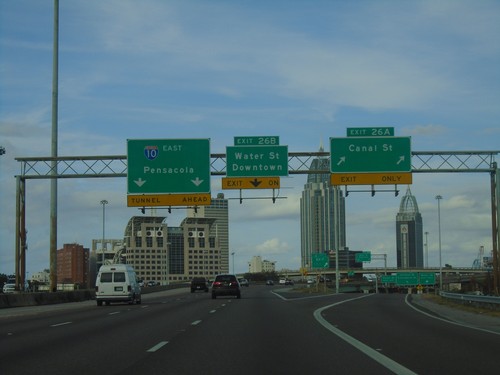
I-10 East - Exits 26A and 26B
I-10 east at Exit 26A - Canal St. Approaching Exit 26B - Water St./Downtown. I-10 continues east towards Pensacola (Florida).
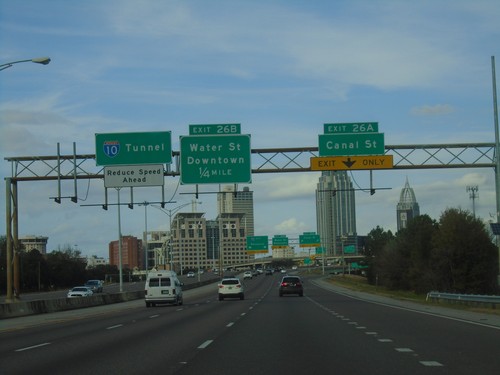
I-10 East - Exits 26A and 26B
I-10 east at Exit 26A - Canal St. Approaching Exit 26B - Water St./Downtown. I-10 continues east towards (the George Wallace) Tunnel.
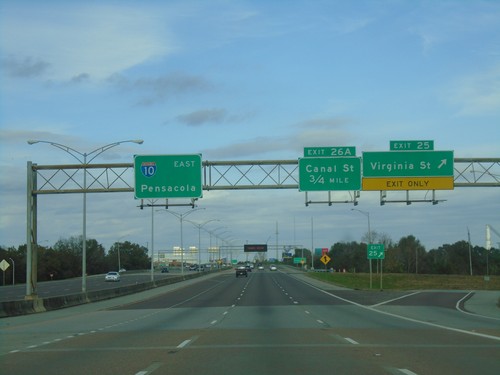
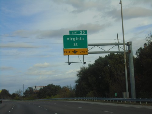
I-10 East - Exits 25 and 26A
I-10 east at Exit 25 - Virginia St. Approaching Exit 26A - Canal St. I-10 continues east towards Pensacola (Florida).
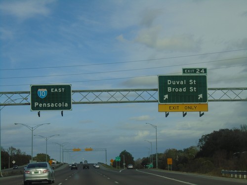
I-10 East - Exit 24
I-10 east at Exit 24 - Duval St./Broad St. I-10 continues east towards Pensacola (Florida).
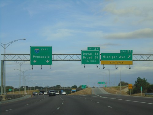
I-10 East - Exit 23
I-10 east at Exit 23 - Michigan Ave. Approaching Exit 24 - Duval St./Broad St. I-10 continues east towards Pensacola (Florida).
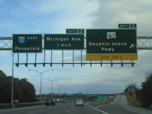
I-10 East - Exits 22 and 23
I-10 east at Exit 22 - AL-163/Dauphin Island Parkway. Approaching Exit 23 - Michigan Ave. Continue east on I-10 for Pensacola (Florida).
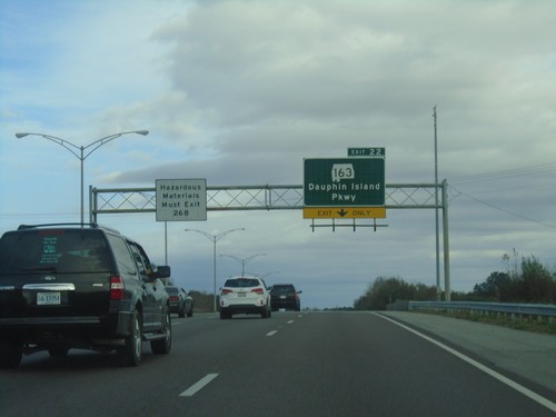
I-10 East - Exit 22
I-10 east approaching Exit 22 - AL-163/Dauphin Island Parkway. Vehicles carrying hazardous materials must exit at Exit 26B.
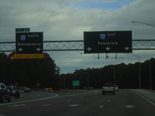
I-10 East - Exit 20
I-10 east at Exit 20 - I-65 North/Montgomery. Continue east on I-10 for Pensacola (Florida). This is the southern end of I-65.
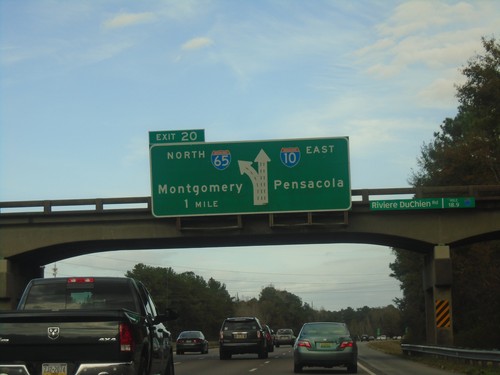
I-10 East Approaching Exit 20
I-10 East Approaching Exit 20 - I-65 North/Montgomery. Continue east on I-10 for Pensacola (Florida).
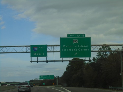
I-10 East - Exits 17A-B
I-10 east at Exits 17A-B - AL-193/Dauphin Island/Tillman’s Corner. Continue east on I-10 to Mobile.
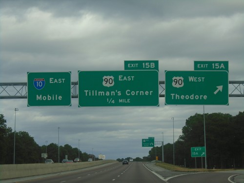
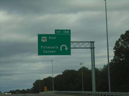
I-10 East - Exits 15A and 15B
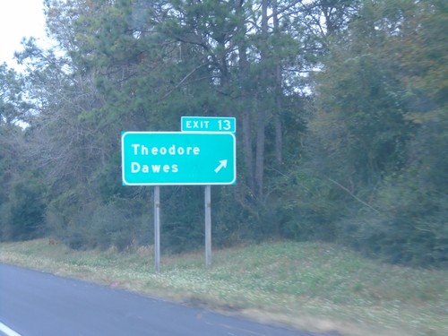
I-10 east at Exit 15A - US-90 West/Theodore. Approaching Exit 15B - US-90 East/Tillman’s Corner. Continue east on I-10 for Mobile.
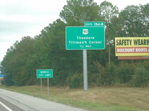
I-10 East - Exits 15A-B
I-10 East approaching Exits 15A-B - US-90/Theodore/Tillman’s Corner. Entering the city of Mobile.
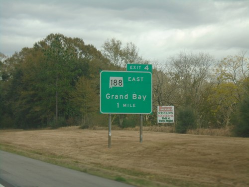
I-10 East - Exit 4
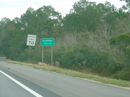
I-10 east approaching Exit 4 - AL-188 East/Grand Bay. This is the first exit in Alabama eastbound on I-10.
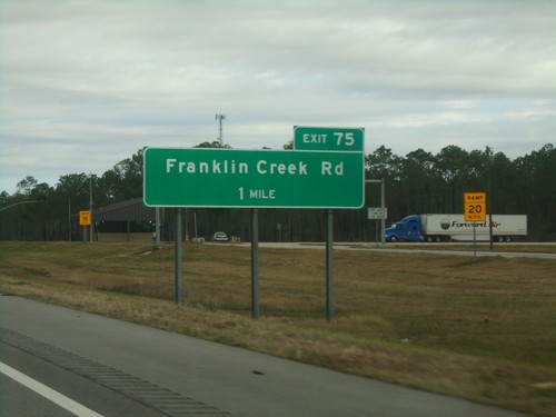
I-10 East - Exit 75
I-10 east approaching Exit 75 - Franklin Creek Road. This is the last exit on I-10 in Mississippi.
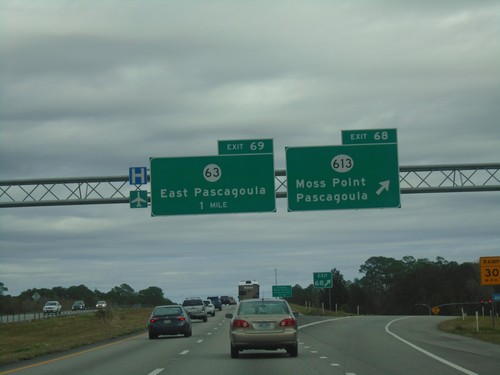
I-10 East - Exits 68 and 69
I-10 east at Exit 68 - MS-613/Moss Point/Pascagoula. Approaching Exit 69 - MS-63/East Pascagoula.
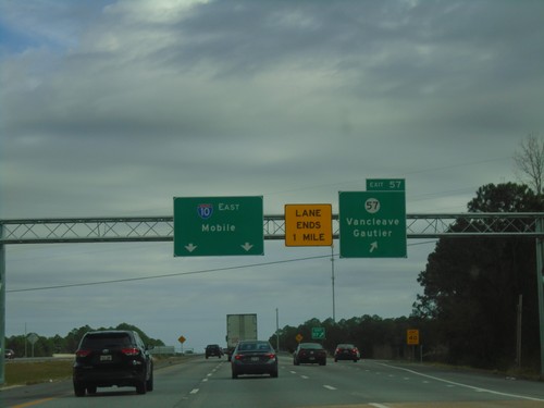
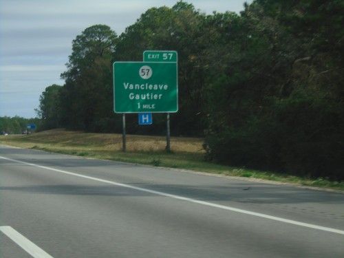
I-10 East - Exit 57
I-10 east at Exit 57 - MS-57/Vancleave/Gautier. Continue east on I-10 for Mobile (AL).
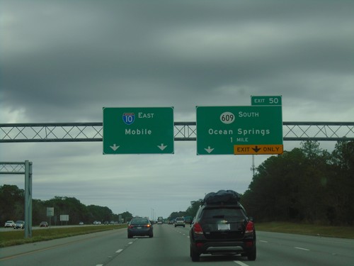
I-10 East - Exit 50
I-10 east approaching Exit 50 - MS-609 South/Ocean Springs. Continue east on I-10 for Mobile (AL).
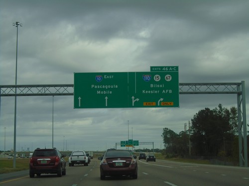
I-10 East - Exits 46A-C
I-10 East at Exits 46A-C - I-110/MS-15/MS-67/Biloxi/Kessler AFB. Continue east on I-10 for Pascagoula and Mobile (AL).
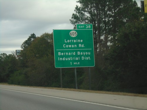
I-10 East - Exit 38
I-10 east approaching Exit 38 - MS-605/Lorraine/Cowan Road/Bernard Bayou Industrial District.
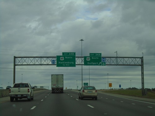
I-10 East - Exit 34
I-10 east at Exit 34A - US-49 South/Gulfport. Approaching Exit 34B - US-49 North/Hattiesburg.
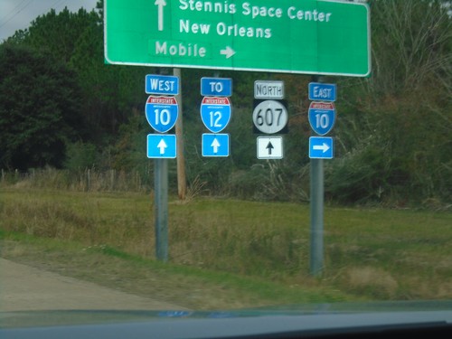
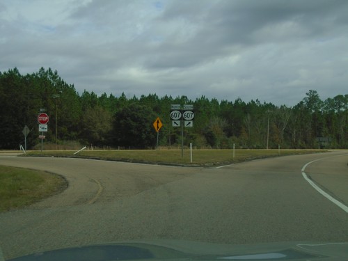
MS-607 North at I-10
MS-607 north at I-10. Use I-10 east for Mobile (AL); I-10 west for New Orleans (LA) and I-12. Continue north on MS-607 for Stennis Space Center. The I-12 shield contains the text MISSISSIPPI, but the highway never enters Mississippi.
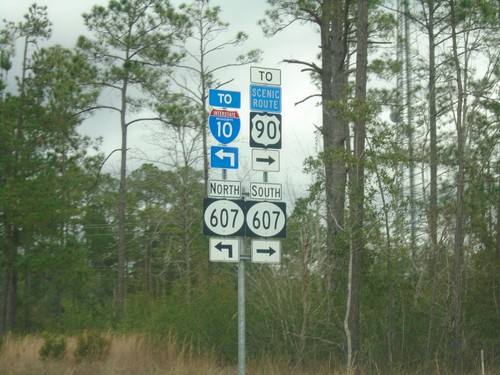
Mississippi Welcome Center Access Road at MS-607
Mississippi Welcome Center Access Road at MS-607. Turn right for MS-607 South to US-90; left for MS-607 North to I-10.
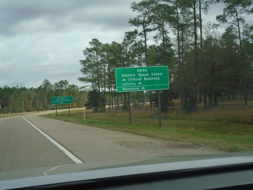
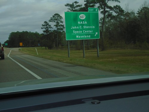
I-10 East at Exit 2 Offramp
I-10 East at Exit 2 offramp. Turn left on MS-607 North for NASA/Stennis Space Center/Official Business. Turn right for MS-607 South Stennis Space Center/Infinity/Waveland.
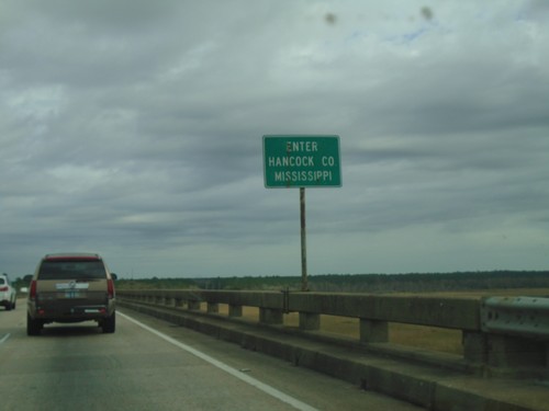
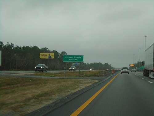
I-10 East - Enter Hancock County Mississippi
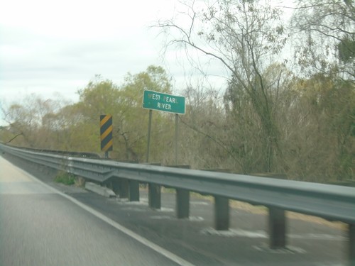
Enter Hancock County Mississippi on I-10 east. Taken on the Pearl River bridge.
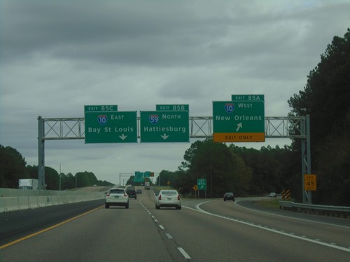
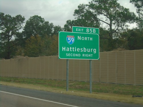
End I-12 East at I-10 and I-59 - Slidell
End I-12 East at I-10 and I-59 in Slidell. Use Exit 85A for I-10 West/New Orleans; Exit 85B for I-59 North/Hattiesburg (MS). Continue east on I-10 for Exit 85C - Bay St. Louis (MS).
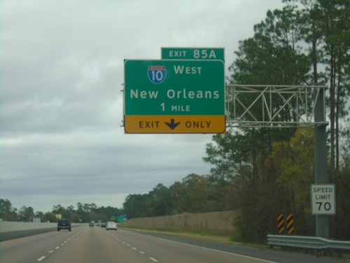
I-12 East Approaching Exit 85A
I-12 east approaching Exit 85A - I-10 West/New Orelans. Speed Limit 70 MPH.
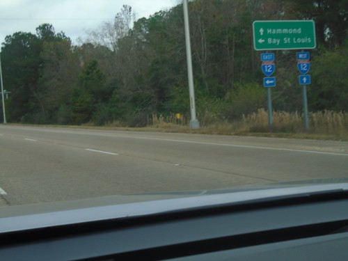
US-11 North at I-12 - Slidell
US-11 North at I-12 in Slidell. Use I-12 east for Bay St. Louis (MS); I-12 west for Hammond.
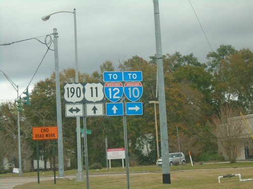
US-11 North at US-190 - Slidell
US-11 North at US-190 in Slidell. Turn right for access to I-10; straight for access to I-12.
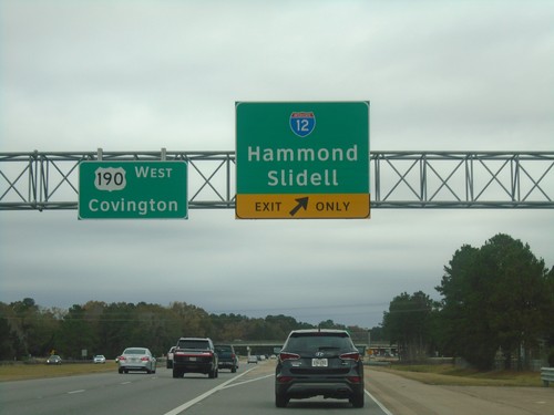
US-190 West at I-12
US-190 West at I-12 in St. Tammany Parish. Use I-12 for Hammond and Slidell. Continue west on US-190 for Covington.
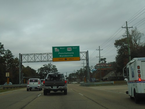
(Lake Pontchartrain) Causeway Blvd. North Approaching US-190/LA-22
(Lake Pontchartrain) Causeway Blvd. North approaching US-190/LA-22 in Mandeville. Exit for LA-22 West/US-190 East/Ponchatoula/Mandeville. US-190 West joins Causeway Blvd. northbound.
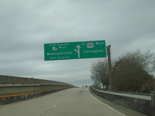
(Lake Pontchartrain) Causeway Blvd. North Approaching LA-22
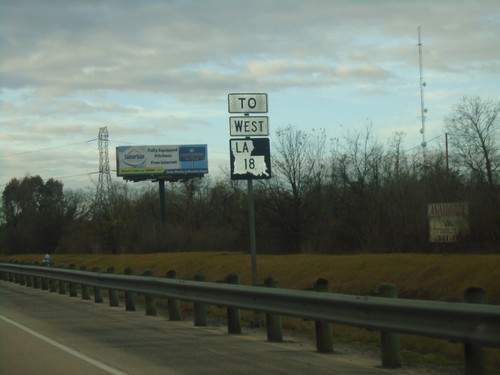
(Lake Pontchartrain) Causeway Blvd. North approaching To LA-22/To West Approach/Madisonville. Continue north on Causeway Blvd. for Covington and US-190 West.
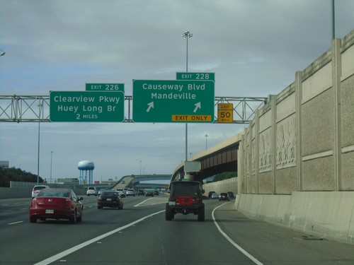
I-10 West - Exits 228 and 226
I-10 west at Exit 228 - Causeway Blvd./Mandeville. Approaching Exit 226 - Huey Long Bridge/Clearview Parkway.
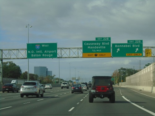
I-10 West - Exits 229 and 228
I-10 west at Exit 229 - Bonnabel Blvd. Approaching Exit 228 - Causeway Blvd./Mandeville. Continue west on I-10 for New Orleans International Airport and Baton Rouge.
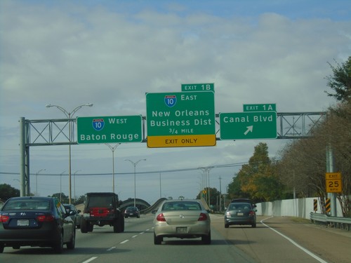
I-610 West - Exits 1A and 1B
I-610 West at Exit 1A - Canal Blvd. Approaching Exit 1B - I-10 East/New Orleans Business District. Approaching I-10 West/Baton Rouge.
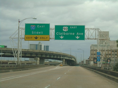
Bus. US-90 East Offramp to US-90 East
Bus. US-90 East offramp to US-90 East. Use right lanes for US-90 East/Claiborne Ave. Use left lanes for I-10 East/Slidell.
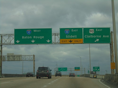
End Bus. US-90 East at I-10 - New Orleans
End Bus. US-90 East at I-10 in New Orleans. Use Exit 13B for US-90 East/Claiborne Ave. Approaching I-10 East to Slidell and I-10 West to Baton Rouge.
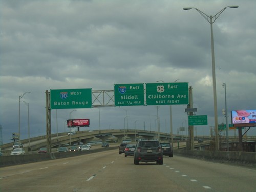
Bus. US-90 East Approaching US-90 and I-10
Bus. US-90 East approaching US-90 and I-10. Approaching US-90 East/Claiborne Ave. Approaching I-10 East to Slidell, and I-10 West to Baton Rouge.
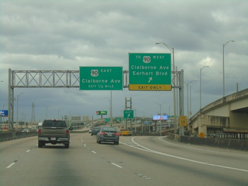
Bus. US-90 East Approaching US-90 - New Orleans
Bus. US-90 East at To US-90 West/Claiborne Ave./Earhart Blvd. Approaching US-90 East/Claiborne Ave.
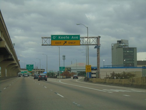
Bus. US-90 East at O'Keefe Ave. Interchange
Bus. US-90 East at O’Keefe Ave. interchange in New Orleans.
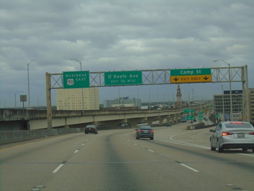
Bus. US-90 East - Camp St. and O'Keefe Ave.
Bus. US-90 East at Camp St. interchange. Approaching O’Keefe Ave interchange.
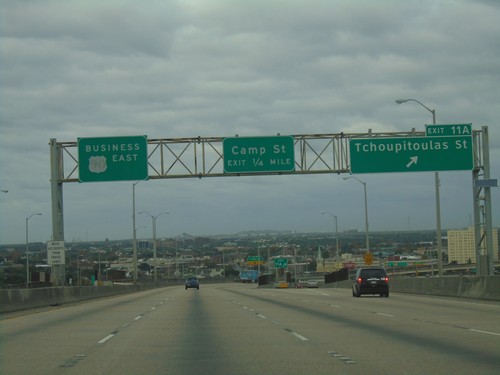
Bus. US-90 East - Exits 11A and 11B
Bus. US-90 East at Exits 11A - Tchoupitoulas St. Approaching (Exit 11B) Camp St.
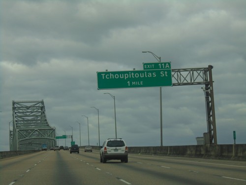
Bus. US-90 East - Exit 11A
Bus. US-90 East approaching Exit 11A - Tchoupitoulas St. Approaching the Crescent City Connection Mississippi River bridge.
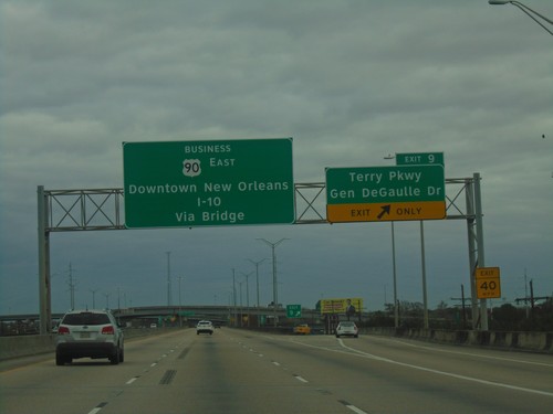
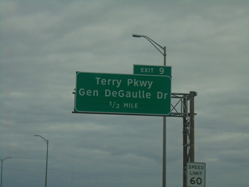
Bus. US-90 East - Exit 9
Bus. US-90 East at Exit 9 - Terry Parkway/Gen. DeGaulle Drive. Continue east on Bus. US-90 to Downtown New Orleans and I-10 via (Mississippi River) Bridge.
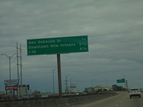
Bus. US-90 East - Distance Marker
Distance marker on Bus. US-90 East. Distance to Gen. DeGaulle Drive, Downtown New Orleans, and I-10.
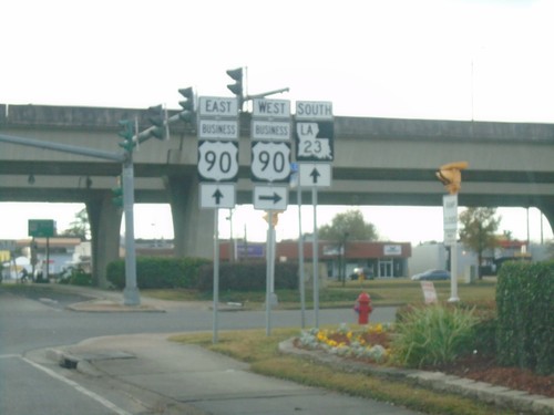
End LA-18 East at Bus. US-90 and LA-23
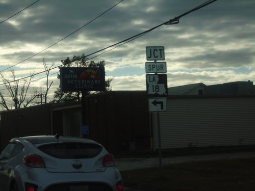
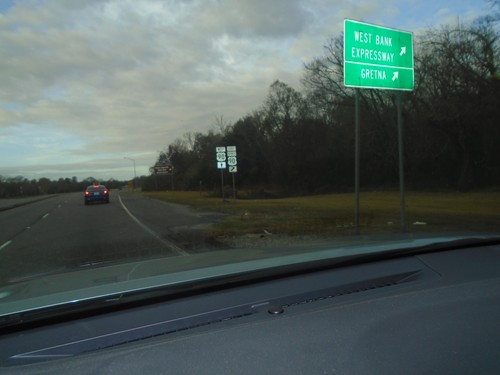
End LA-18 East (Lafayette St.) at Bus. US-90 (Westbank Expressway Frontage Road) and LA-23 in Gretna.
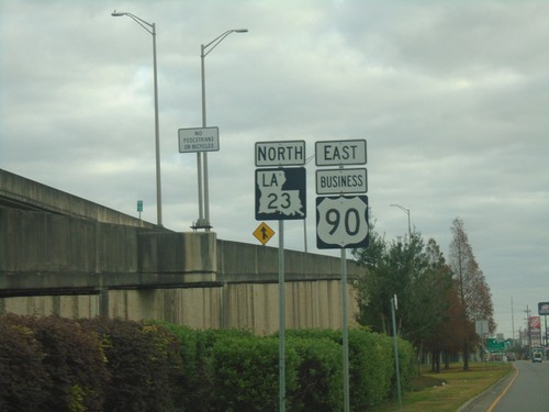
Bus. US-90 East/LA-23 North - Gretna
Bus. US-90 East/LA-23 North on Westbank Expressway Frontage Road in Gretna.
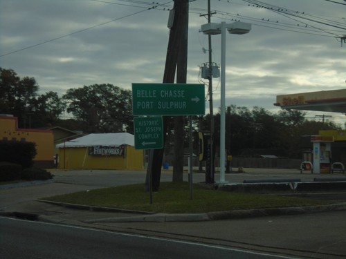
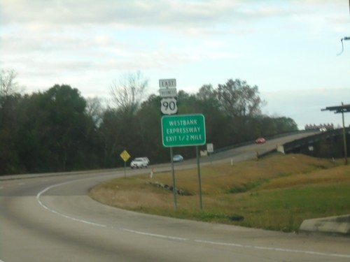
Bus. US-90 East Offramp at LA-23 South
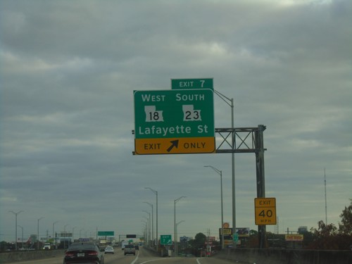
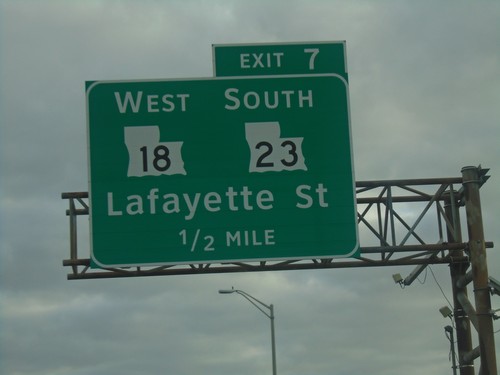
Bus. US-90 East offramp (Exit 7) at LA-23 South. Use LA-23 south for Belle Chasse and Port Sulphur.
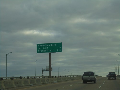
Bus. US-90 East - Next 3 Exits
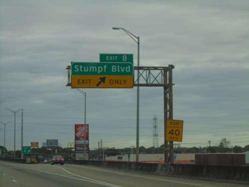
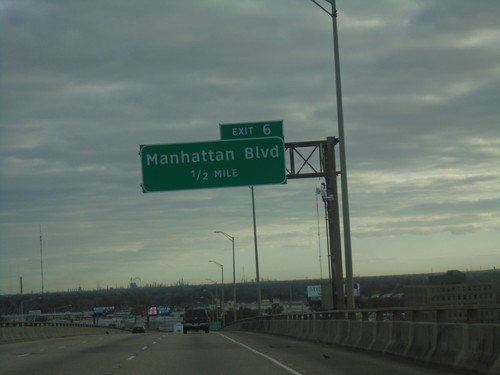
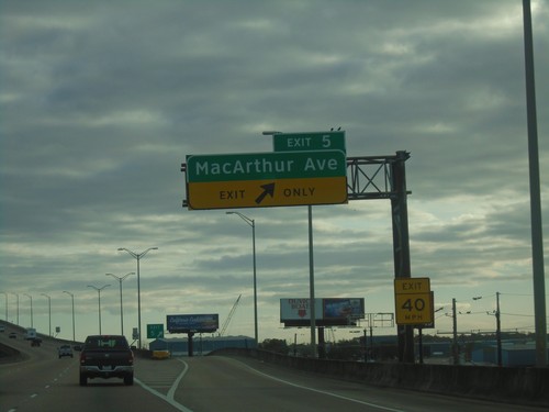
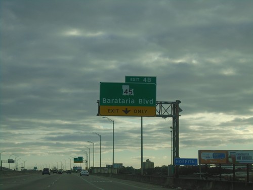
Next 3 Exits on Bus. US-90 East. Manhattan Blvd./LA-18 and LA-23/Stumpf Blvd.
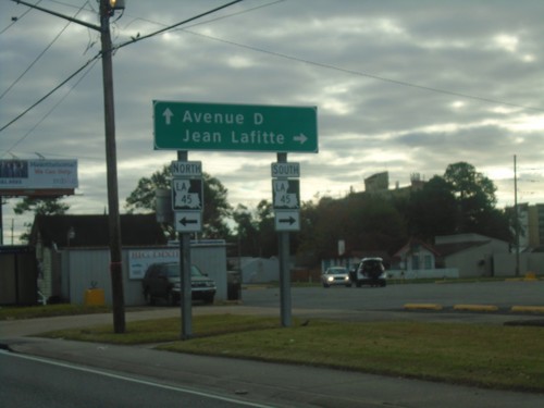
Bus. US-90 Offramp at LA-45
Bus. US-90 Offramp at LA-45. Turn right for LA-45 South to Jean Lafitte. Continue straight for Avenue D.
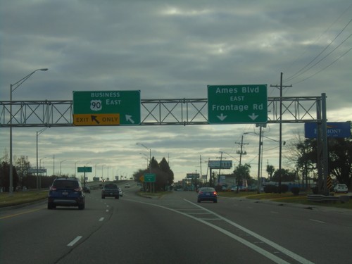
Bus. US-90 East - Begin Freeway
Begin Freeway on Bus. US-90 East. Use left lane for freeway; right lanes for Ames Blvd/East Frontage Road.
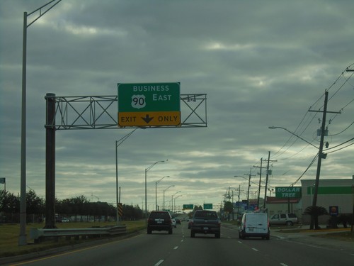
Use Left Lanes for Bus. US-90 East
Use Left Lanes for Bus. US-90 East in Jefferson Parish. Use right lane for Frontage Road. The Bus. US-90 East freeway begins here.
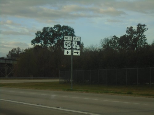
US-90 West/LA-18 West at US-90/LA-18 Split
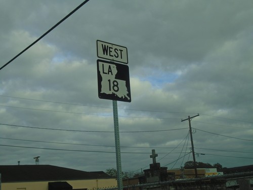
US-90 West/LA-18 West at US-90/LA-18 split in Jefferson Parish.
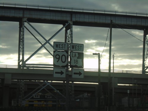
Bridge City Ave. East at US-90/LA-18
Bridge City Ave. East at US-90/LA-18. Turn right for onramp to US-90 West/LA-18 West.
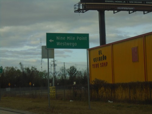
US-90 West on LA-18 East Offramp
US-90 West on LA-18 East Offramp. Turn left on LA-18 East for Nine Mile Point and Westwego.
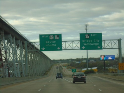
US-90 West at LA-18 Interchange
US-90 West at LA-18 East/Bridge City/Westwego. Continue west on US-90/LA-18 for Boutte and Houma.
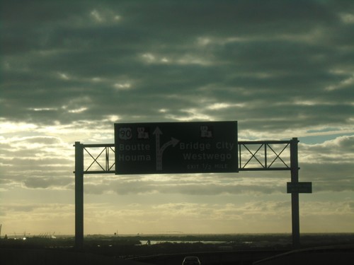
US-90 West Approaching LA-18 Interchange
US-90 West approaching LA-18 interchange. Exit for LA-18 East/Bridge City/Westwego. Continue on US-90/LA-18 West for Boutte and Houma. LA-18 west joins US-90 west.
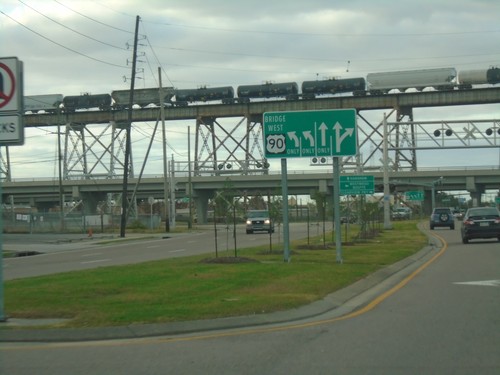
US-90 West Approaching Huey Long Bridge
US-90 West Approaching Huey Long Bridge over the Mississippi River. Use left lanes to continue west on US-90 over the bridge.
