Signs From March 2019
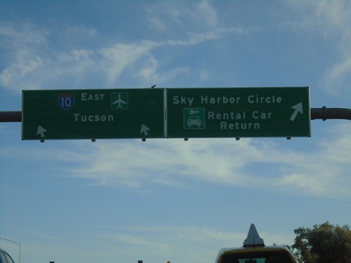
I-10 East - Exit 148 Offramp
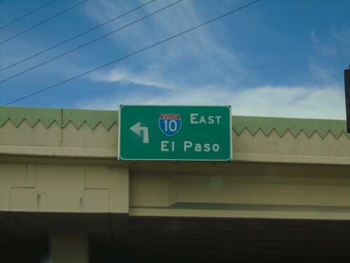
I-10 East - Exit 148 Offramp in Phoenix. Use right lane for Sky Harbor Circle/Rental Car Return. Use left lane to return to I-10 East towards Tucson.
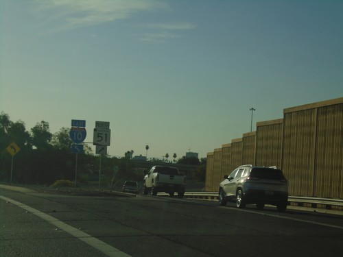
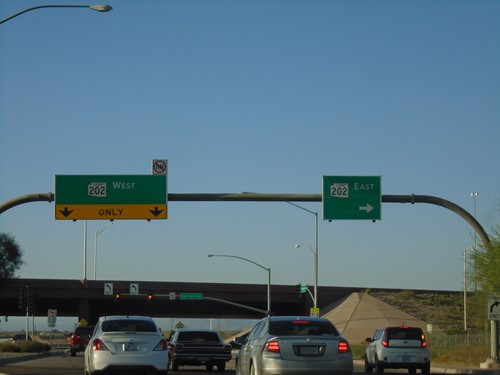
End AZ-202 Loop West at I-10/AZ-51
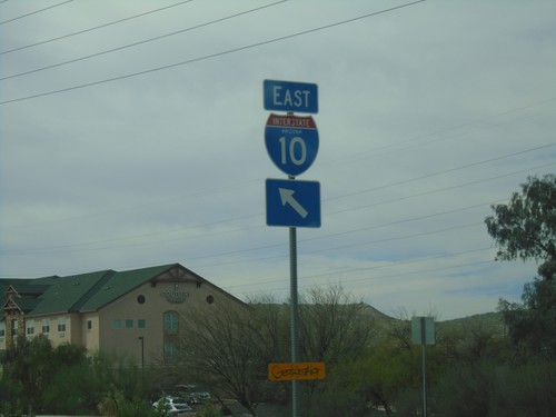
End AZ-202 Loop West at I-10/AZ-51 in Phoenix. Use right lane for AZ-51; left lane for I-10 East.
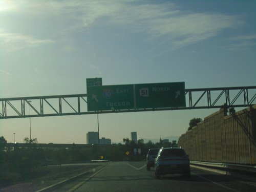
End AZ-202 Loop West at I-10 and AZ-51
End AZ-202 Loop West at I-10 and AZ-51 in Phoenix. Use right lane for AZ-51 North; left lane for I-10 East/Tucson.
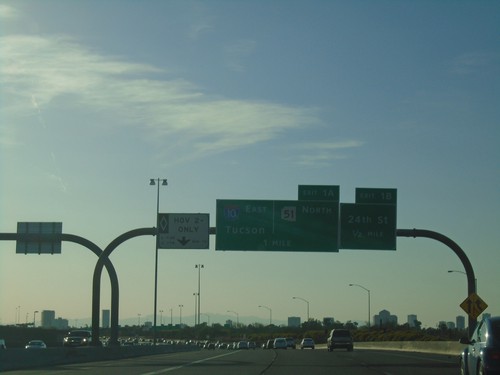
AZ-202 Loop West - Exits 1B and 1A
AZ-202 Loop West approaching Exit 1B - 24th St. Approaching Exit 1A - 1-10 East/Tucson/AZ-51 North.
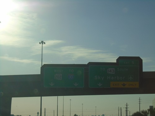
AZ-202 Loop West - Exit 5
AZ-202 Loop West at Exit 5 - To AZ-143 South/Sky Harbor Airport. Continue west on AZ-202 Loop for I-10.
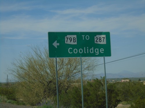
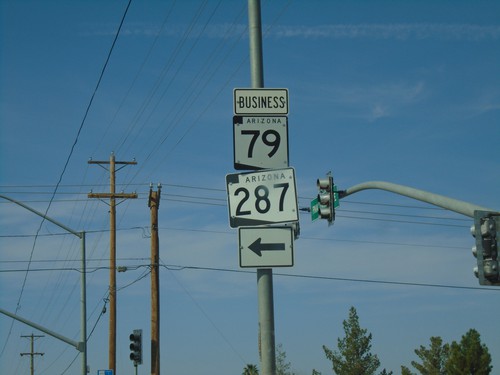
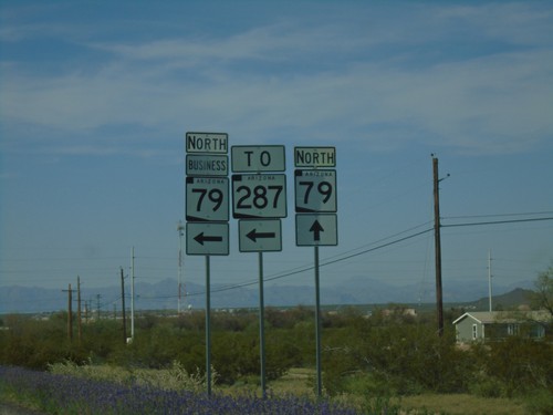
AZ-79 North at Bus. AZ-79/To AZ-287
AZ-79 North at Bus. AZ-79/To AZ-287 in Florence. Turn left for AZ-79 Bus./To AZ-287 to Coolidge.
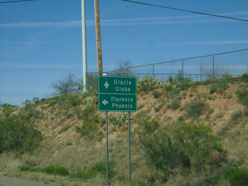
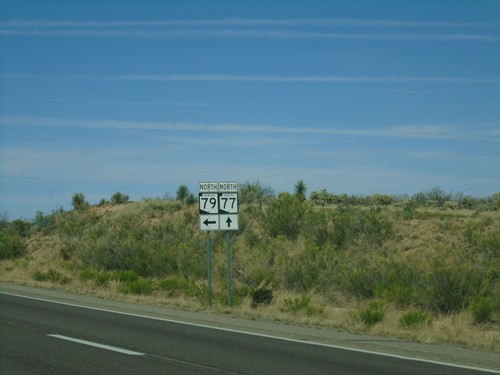
AZ-77 North at AZ-79
AZ-77 North at AZ-79. Continue north on AZ-77 to Globe and Oracle. Turn left for AZ-79 north to Florence and Phoenix.
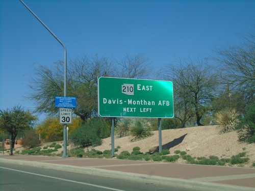
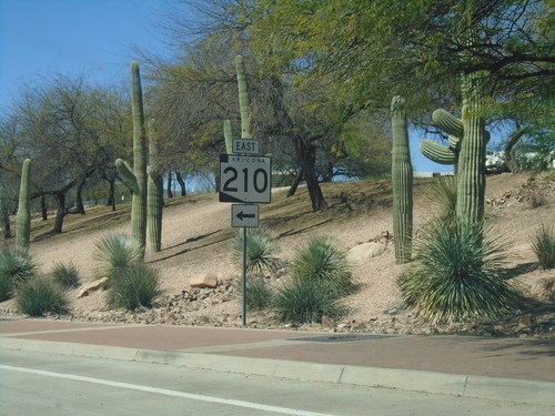
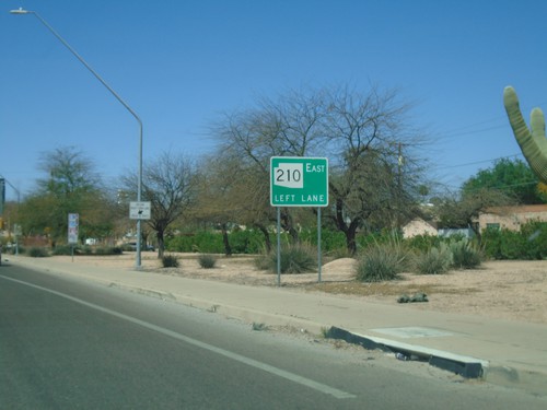
Broadway Blvd. West Approaching AZ-210
Broadway Blvd. West approaching AZ-210 East to Davis-Monthan AFB.
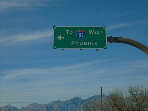
Alvernon Way North at Irvington Road
Alvernon Way North at Irvington Road in Tucson. Turn left on Irvington Road for I-10 West to Phoenix.
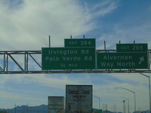
I-10 West - Exits 265 and 264
I-10 west at Exit 265 - Alvernon Way North. Approaching Exit 264 - Irvington Road/Palo Verde Road.
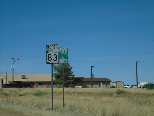
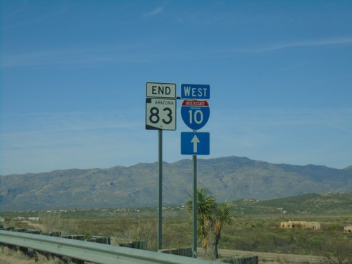
AZ-83 North - Scenic Byway
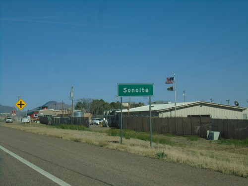
AZ-83 North and Scenic Byway sign in Sonoita. AZ-83 is part of the Patagonia-Sonoita Scenic Road.
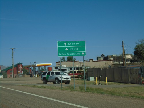
AZ-82 East Approaching AZ-83
AZ-82 east approaching AZ-83. Use AZ-83 north for I-10. Continue east on AZ-82 for SR-90. Turn right on county road for Parker Canyon Lake.
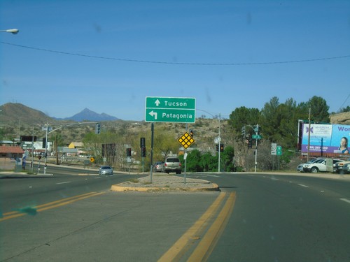
BL-19 North at AZ-82
BL-19 North at AZ-82 in Nogales. Turn left for AZ-82 east to Patagonia. Continue north on BL-19 for Tucson.
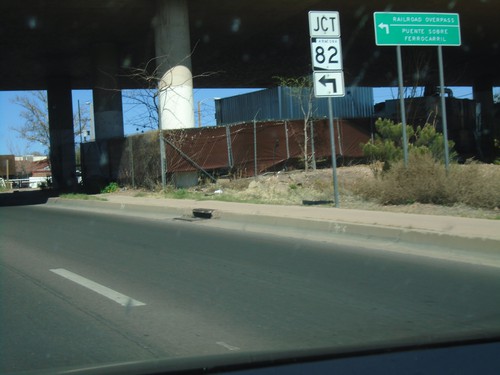
BL-19 North at AZ-82
BL-19 North at AZ-82 East to Railroad Overpass. The word railroad overpass is in both English and Spanish.
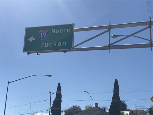
I-19 North - Crawford Ave./Sonoita Ave. Intersection
I-19 North (Crawford Ave.) at Sonoita Ave. Turn left on Sonoita Ave. for I-19 North/Tucson.
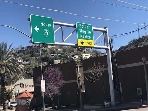
End I-19 South at BL-19/Grand Ave.
End I-19 South at BL-19/Grand Ave. in Nogales. Turn left for BL-19/Grand Ave. North. Turn right for Grand Ave. South Border Crossing to Mexico.
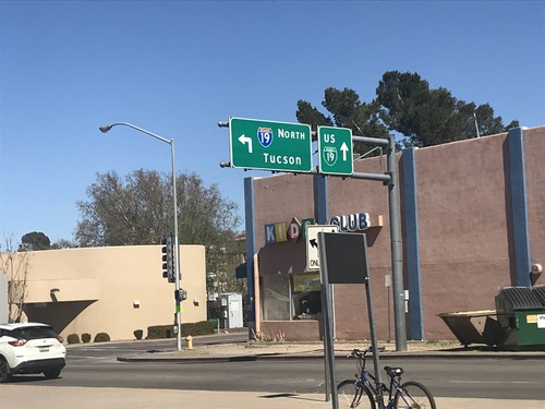
Grand Ave. North at Begin of I-19
Grand Ave. North at Begin of I-19 just north of Mexican border. Turn left for I-19 North to Tucson; continue straight for BL-19/Grand Ave. North.
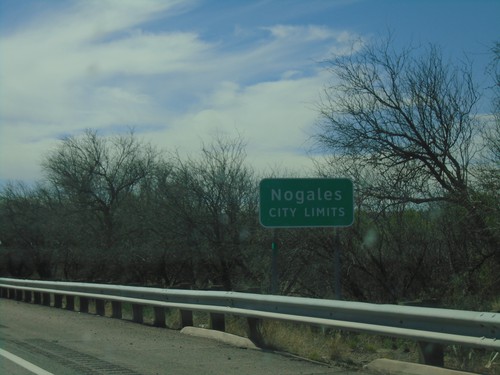
I-19 South - Nogales City Limit
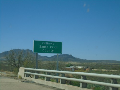
Nogales City Limit on I-19 south. Nogales is the county seat of Santa Cruz County.
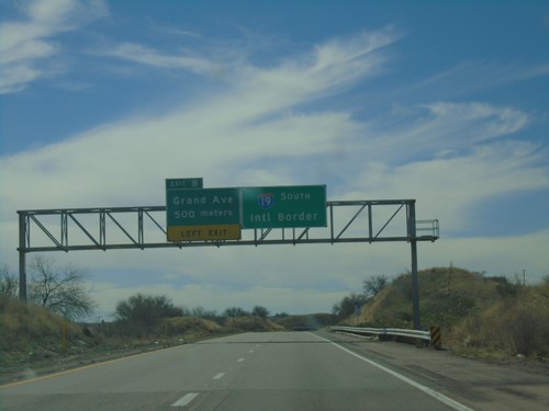
I-19 South - Exit 8
I-19 south approaching Exit 8 - Grand Ave. I-19 continues south towards the International Border with Mexico. Grand Ave. is the Nogales business loop.
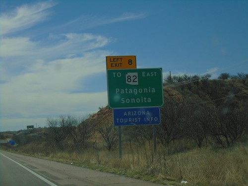
I-19 South - Use Exit 8 For AZ-82
I-19 south approaching Exit 8. Use Exit 8 To AZ-82/East/Patagonia/Sonoita.
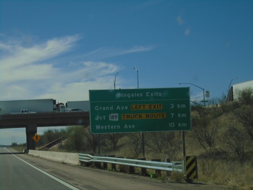
I-19 South - Nogales Exits
Nogales Exits on I-19 south. Distance to Grand Ave., AZ-189, and Western Ave.
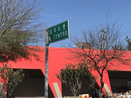
MX-15 North Approaching US Border
MX-15 North approaching US Border in Heroica Nogales. Merge left for (Nogales) Centro. Continue straight for the international border.
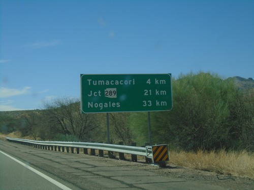
I-19 South - Distance Marker
Distance marker on I-19 south. Distance to Tumacacori, Jct. AZ-289, and Nogales.
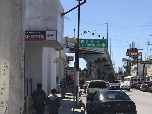
MX-15 South at Turnaround To USA
MX-15 South at turnaround To USA. Continue south on MX-15 for Hermosillo.
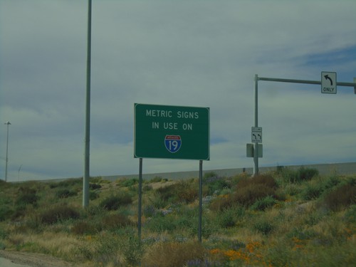
Metric Signs In Use on I-19 South
Metric Signs in Use on I-19 South. All distance markers and interchanges marked in kilometers or meters. Mileposts are signed in kilometers. There are mileposts signed as miles that are parallel to the road (signed 90 degrees to the standard signs).
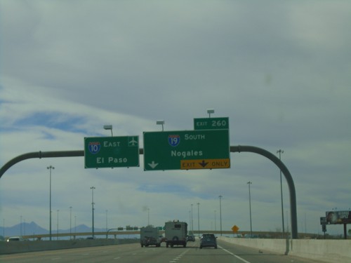
I-10 East Approaching Exit 260
I-10 east approaching Exit 260 - I-19 South/Nogales. I-10 continues east towards the Tucson Airport and El Paso (Texas).
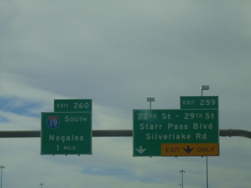
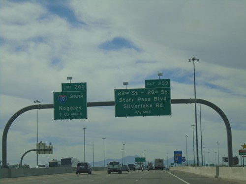
I-10 East - Exits 259 and 260
I-10 east at Exit 259 - 22nd St - 29th St/Starr Pass Blvd/Silverlake Road. Approaching Exit 260 - I-19 South/Nogales.
