Signs From April 2019
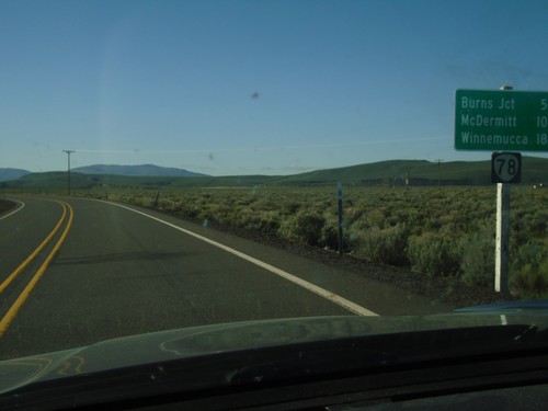
OR-78 East - Distance Marker
Distance marker on OR-78 east. Distance to Burns Jct., McDermitt (via US-95) and Winnemucca (Nevada via US-95).
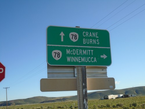
Lava Bed Road at OR-78
Lava Bed Road at OR-78. Use OR-78 east to McDermitt and Winnemucca (Nevada); OR-78 west to Crane and Burns.
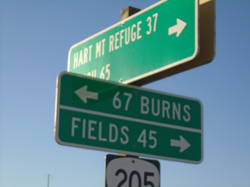
End Rock Creek Road at OR-205
End Rock Creek Road at OR-205 in Harney County. Turn right for Fields; left for Burns. Use Rock Creek Road for Hart Mountain Refuge and Plush.
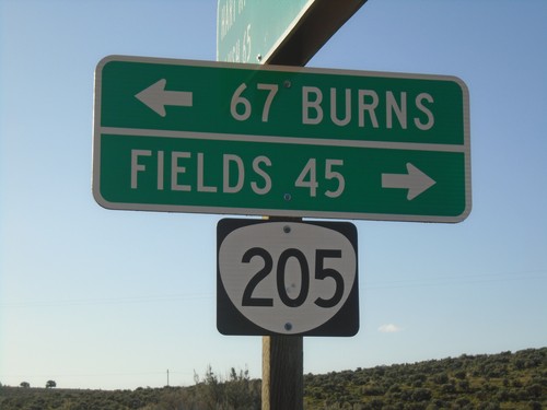
End Rock Creek Road at OR-205
End Rock Creek Road at OR-205 in Harney County. Turn right for Fields; left for Burns.
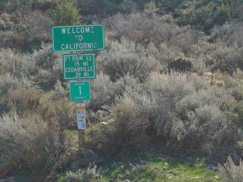
Entering California - Modoc County Highway 1
Entering California on Modoc County Highway 1 south. Distance to Fort Bidwell and Cedarville. Taken on the road between Adel, Oregon and Cedarville, California.
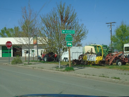
CH-1 (Main St.) at CA-299 - Cedarville
CH-1 (Main St.) at CA-299 in Cedarville. Turn left for CA-299 west to Alturas.
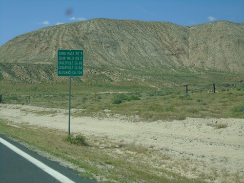
CH-447 North - Distance Marker
Distance marker on CH-447 North. Distance to Sand Pass Road, Squaw Valley Reservoir, Eagleville (California), Cedarville (California), and Alturas (California).
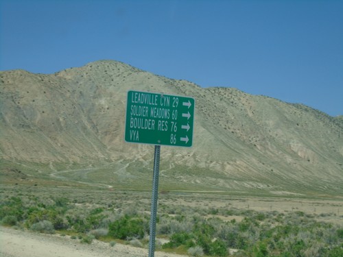
CH-447 North at CH-34
CH-447 North at CH-34 near Gerlach. Use CH-34 north for Leadville Canyon, Soldier Meadows, Boulder Reservoir, and Vya.
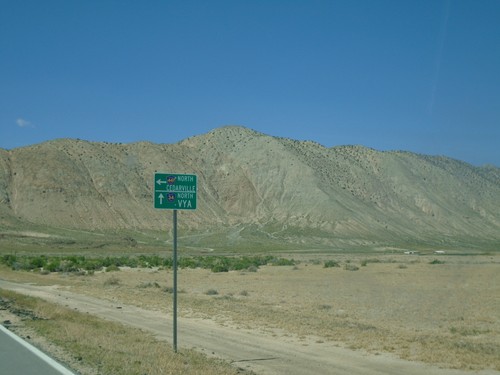
CH-447 North Approaching CH-34
CH-447 North approaching CH-34 near Gerlach. Use CH-34 north for Vya; CH-447 North for Cedarville (California).
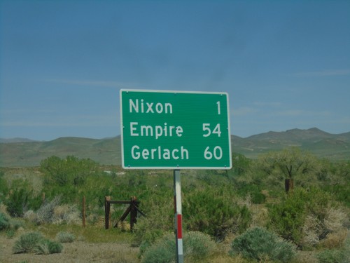
NV-447 North - Distance Marker
Distance marker on NV-447 north. Distance to Nixon, Empire and Gerlach.
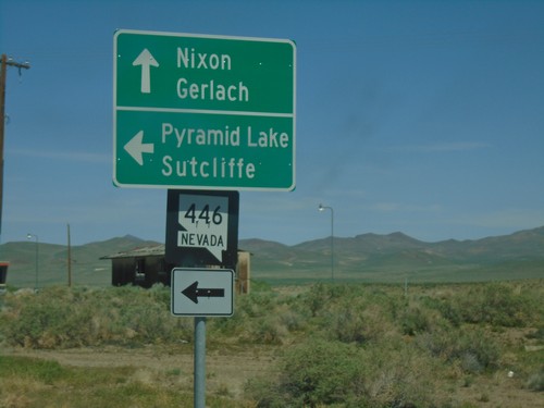
NV-447 North at NV-446
NV-447 North at NV-446 junction. Use NV-446 to Pyramid Lake and Sutcliffe. Continue north on NV-447 for Nixon and Gerlach.
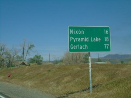
NV-447 North - Distance Marker
Distance marker on NV-447 North. Distance to Nixon, Pyramid Lake, and Gerlach.
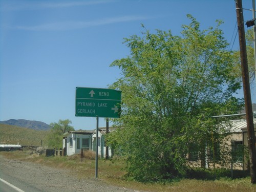
NV-427 West at NV-447 North - Wadsworth
NV-427 West at NV-447 North in Wadsworth. Use NV-447 north for Pyramid Lake and Gerlach. Continue west on NV-427 for Reno.
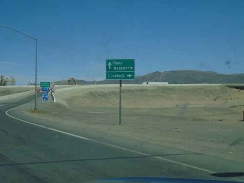
BL-80 West/NV-427 North at I-80 East
BL-80 West/NV-427 North at I-80 East to Lovelock. Continue under freeway for I-80 west to Reno; continue on NV-427 for Wadsworth.
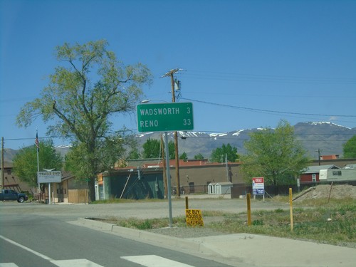
BL-80 West/NV-427 North - Distance Marker
Distance Marker on BL-80 West/NV-427 North. Distance to Wadsworth and Reno.
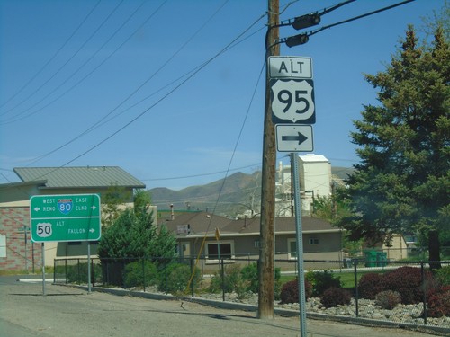
US-95 Alt. North/US-50 Alt. West at BL-80/NV-427
US-95 ALT at US-50 ALT to Fallon and BL-80/NV-427 to Reno and Elko. Turn right to continue north US-95 Alt.
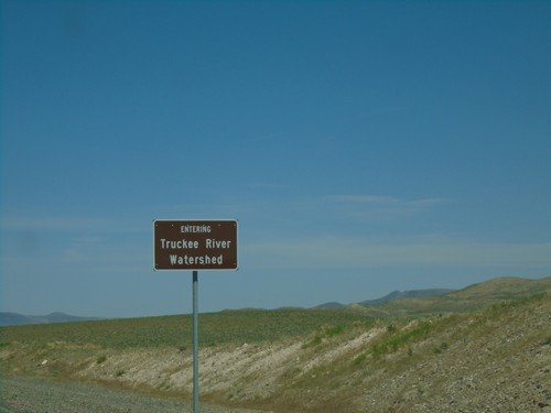
Alt. US-95 North/Alt. US-50 East - Truckee River Watershed
Entering the Truckee River Watershed on Alt. US-95 North/Alt. US-50 East. Taken at the divide in the Virginia Range. These type of watershed signs have been appearing in western Nevada.
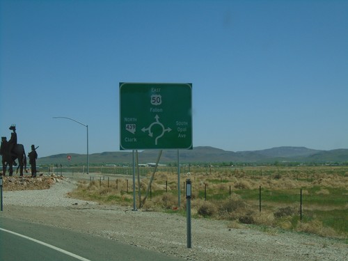
US-50 East at NV-439 Roundabout
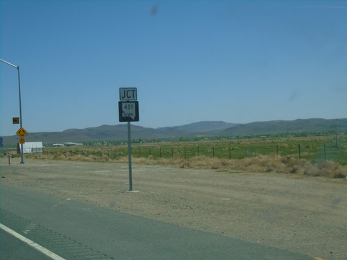
US-50 East at NV-439 (USA Parkway) Roundabout in Lyon County. Use US-50 East for Fallon; NV-439 North for Clark (I-80 Jct.); turn south for South Opal Ave.
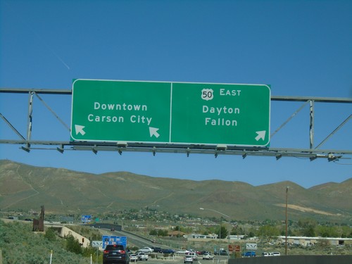
US-395 North/US-50 East on Exit 39 Offramp
US-395 North/US-50 East on Exit 39 Offramp. Use left lane for Carson City Downtown; left lane for US-50 east to Dayton and Fallon.
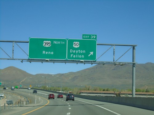
I-580 North - Exit 39
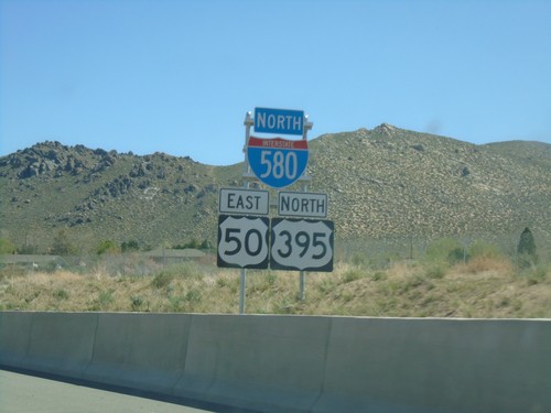
US-395 north at Exit 39 - US-50/Dayton/Fallon. Continue north on I-580/US-395 for Reno. The US-50/US-395 split ends here. The I-580 shield is not listed on the overhead.
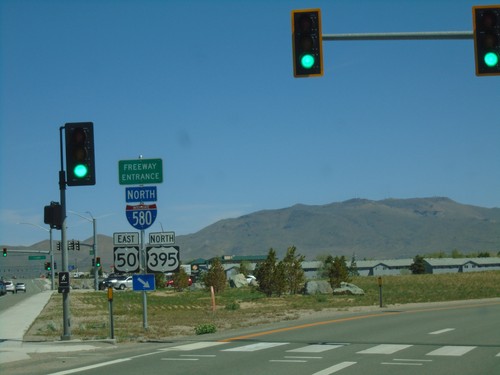
I-580/US-50/US-395 Freeway Entrance
I-580 North/US-50 East/US-395 North Freeway Entrance in Carson City. This is the southern beginning of I-580.
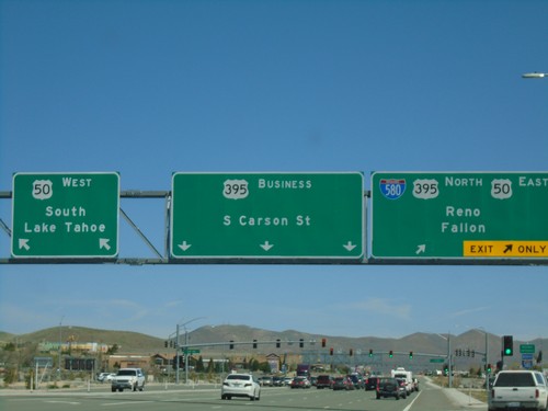
US-395 North at US-50/I-580 - Carson City
US-395 North at US-50/I-580 in Carson City. Turn left for US-50 West/South Lake Tahoe. Continue straight for Bus. US-395/S. Carson St. Merge right for I-580/US-395 North/US-50 East/Fallon/Reno.
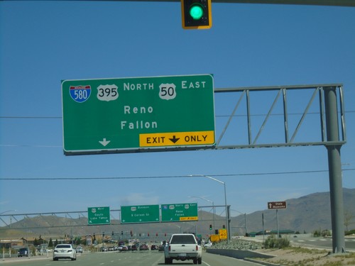
US-395 North Approaching I-580/US-50
US-395 North approaching I-580/US-50 in Carson City. Merge right for I-580/US-395 North/US-50 East/Fallon/Reno. I-580 begins here at the US-50/US-395 junction.
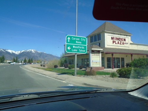
US-395 North Approaching NV-88
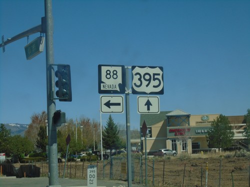
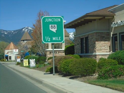
US-395 North approaching NV-88 in Minden. Use NV-88 west to Woodfords (California) and Lake Tahoe. Continue north on US-395 for Carson City and Reno.
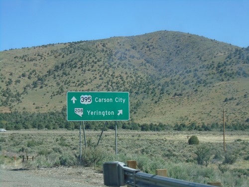
US-395 North - NV-208 Junction
US-395 north at NV-208 east to Yerrington. Continue north on US-395 for Carson City.
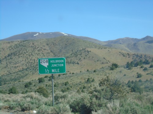
US-395 North Approaching NV-208 - Holbrook Junction
US-395 North approaching NV-208 - Holbrook Junction.
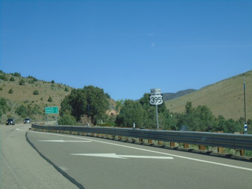
US-395 North - Topaz Lake
US-395 north shield in Topaz Lake. This is the first US-395 shield northbound in Nevada.
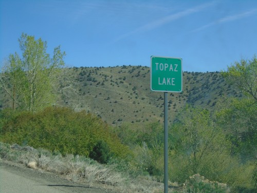
US-395 North - Topaz Lake
Entering Topaz Lake on US-395 north. Topaz Lake is a small community on the shore of Topaz Lake on the California-Nevada state line.
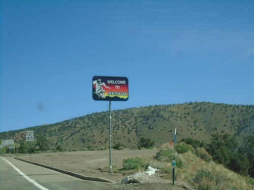
US-395 North - Welcome to Nevada
Welcome to Nevada on US-395 north. Taken at the California - Nevada state line.
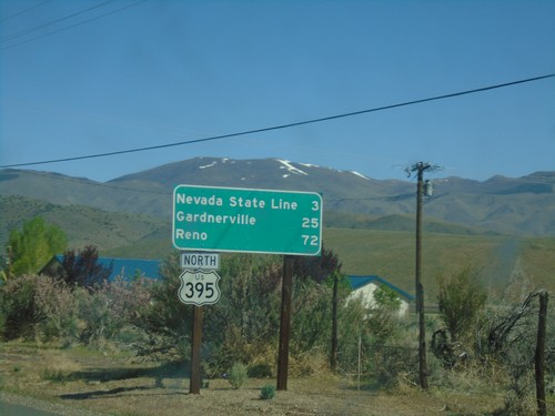
US-395 North - Distance Marker
Distance marker to Nevada State Line, Carson City, and Reno on US-395 north.
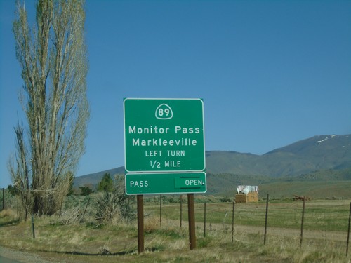
US-395 North Approaching CA-89
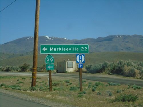
US-395 North approaching CA-89 to Markleeville and Monitor Pass. Monitor Pass was open when this picture was taken.
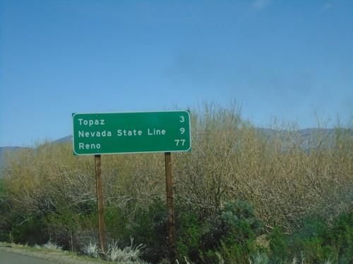
US-395 North - Distance Marker
Distance marker on US-395 north. Distance to Topaz, Nevada State Line, and Reno (Nevada).
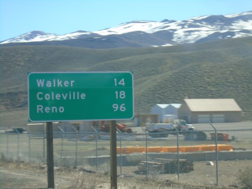
US-395 North - Distance Marker
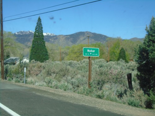
Distance maker on US-395 north. Distance to Walker, Coleville, and Reno (Nevada).
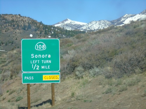
US-395 North Approaching CA-108
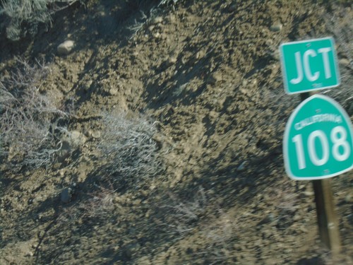
US-395 North approaching CA-108/Sonora. Sonora Pass was closed when this picture was taken.
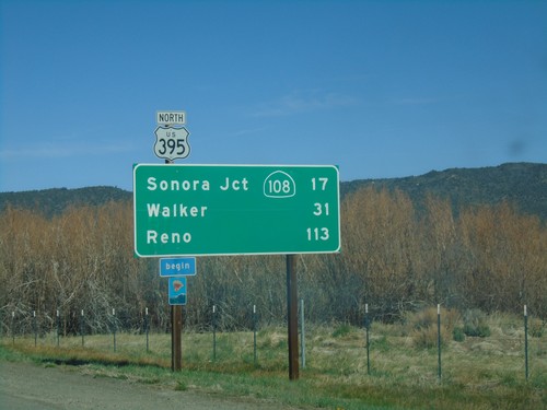
US-395 North - Distance Marker
Distance marker on US-395 north. Distance to Sonora Jct. - CA-108, Walker, and Reno (Nevada). Begin scenic route.
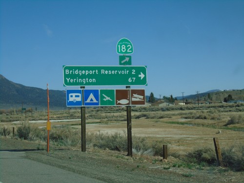
US-395 North at CA-182
US-395 north at CA-182 in Bridgeport. Turn right for Bridgeport Reservoir and Yerington (Nevada).
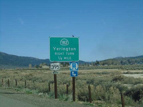
US-395 North Approaching CA-182
US-395 north approaching CA-182 north to Yerrington (Nevada). Turn left to continue north on US-395.
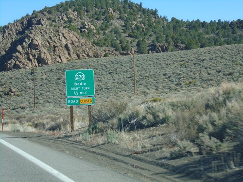
US-395 South Approaching CA-270
US-395 South Approaching CA-270 east to Bodie. CA-270 east was closed at the time this photo was taken.
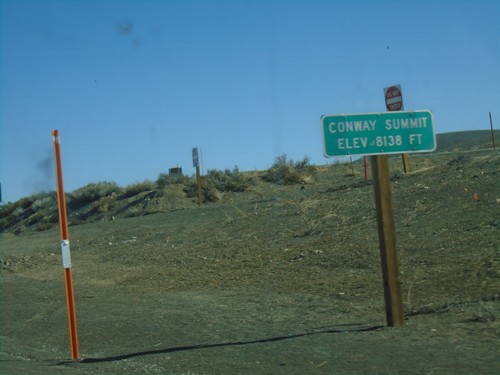
US-395 North - Conway Summit
Conway Summit - Elevation 8138 Feet on US-395 north. Conway Summit is the highest point on US-395.
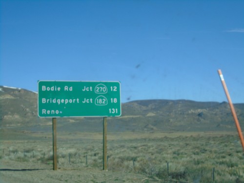
US-395 North - Distance Marker
Distance marker on US-395 north. Distance to Bodie Road - Jct. CA-270, Bridgeport - Jct. CA-182, and Reno (Nevada).
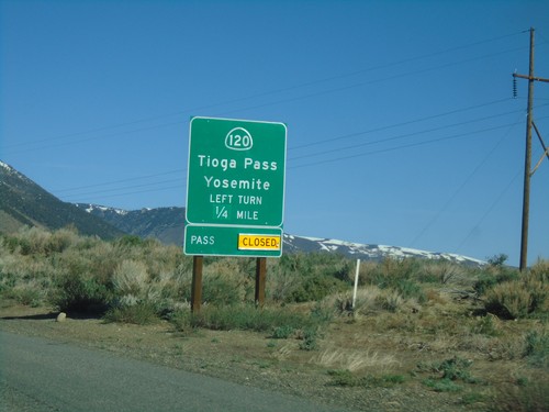
US-395 North Approaching CA-120
US-395 north approaching CA-120 east to Tioga Pass and Yosemite. Tioga Pass is closed when this picture was taken.
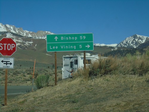
CA-120 West at US-395 North
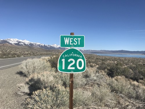
CA-120 West at US-395 North in Mono County. Turn left (across the divided highway) for US-395 south to Bishop; left for US-395 north to Lee Vining. CA-120 west joins US-395 north to Lee Vining.
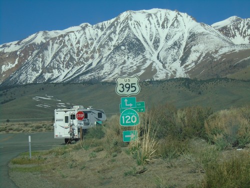
CA-120 West at US-395
CA-120 West at US-395 junction. Turn right for US-395 North/CA-120 West. CA-120 west joins US-395 north to Lee Vining.
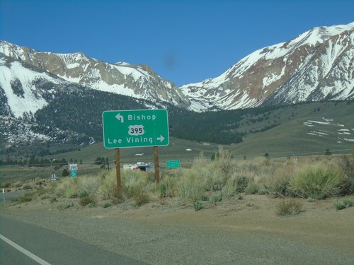
CA-120 West at US-395
CA-120 West at US-395 in Mono County. Turn left for US-395 south to Bishop; left for US-395 north/(CA-120 west) to Lee Vining. CA-120 west joins US-395 north to Lee Vining.
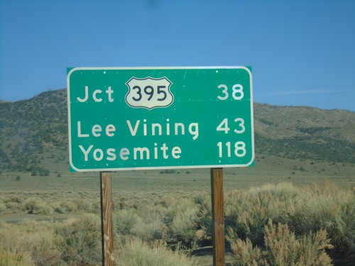
CA-120 West - Distance Marker
Distance marker on CA-120 west. Distance to Jct. US-395, Lee Vining, and Yosemite.
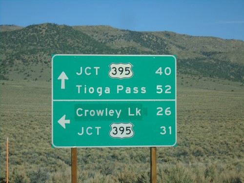
CA-120 West at Benton Crossing Road
CA-120 West at Benton Crossing Road in Mono County. Turn left for Benton Cross Road south to Crowley Lake and US-395; continue straight for CA-120 West to Tioga Pass and US-395.
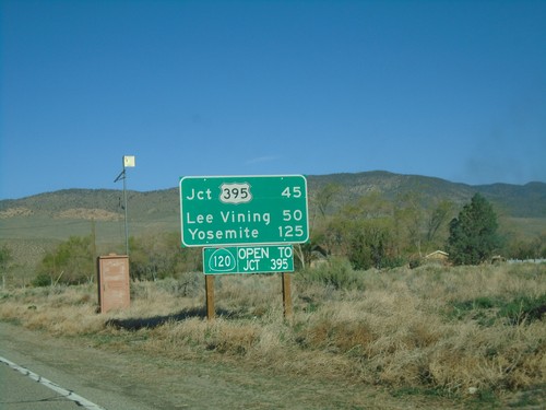
CA-120 West - Distance Marker
Distance marker on CA-120 west. Distance to US-395, Lee Vining, and Yosemite. CA-120 is open to US-395. This stretch of CA-120 is closed during the winter months.
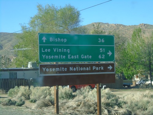
US-6 West at CA-120 West
US-6 West at CA-120 West. Use CA-120 west for Lee Vining, Yosemite East Gate, and Yosemite National Park. Continue west on US-6 for Bishop.
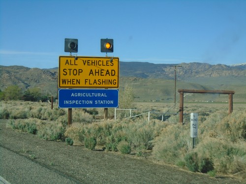
US-6 West - California State Agricultural Inspection
US-6 west approaching the California State Agricultural Inspection Station at Benton. All traffic must stop for inspection.
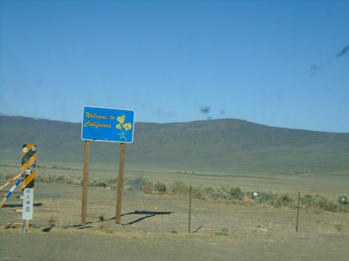
US-6 West - Welcome to California
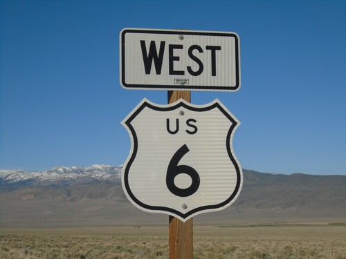
Welcome to California on US-6 west. Taken at the Nevada-California state line. The cattle guard marks the actual state line.
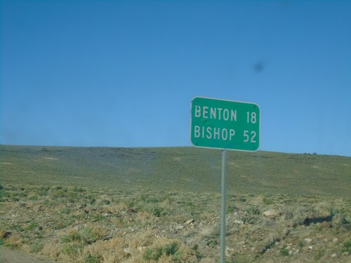
US-6 West - Distance Marker
Distance marker on US-6 west. Distance to Benton (California) and Bishop (California).
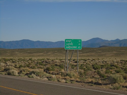
NV-360 North - Distance Marker
Distance marker on NV-360 north. Distance to Mina, Luning, and Hawthorne.
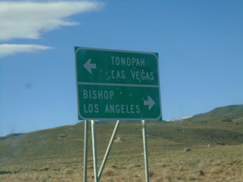
NV-360 South at US-6
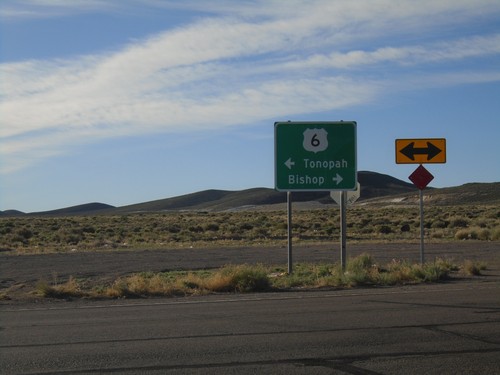
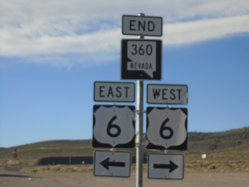
NV-360 South at US-6. Use US-6 west for Bishop (California) and Los Angeles (California). Use US-6 east for Tonopah and Las Vegas (via US-95).
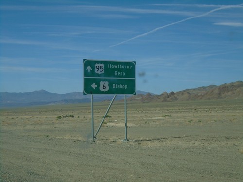
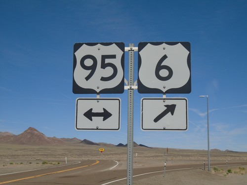
US-6 West/US-95 North at Split
US-6 West/US-95 North at US-6/US-95 split. Continue ahead for US-95 north to Hawthorne and Reno. Turn left for US-6 west to Bishop (California).
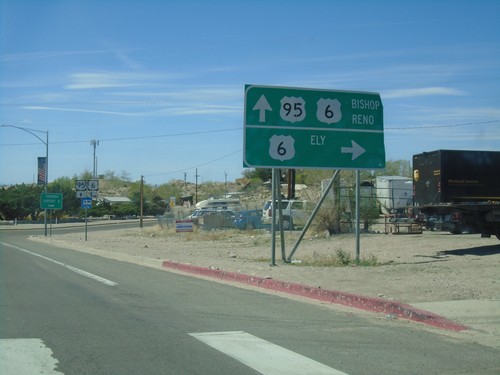
US-95 North At US-6
US-95 north at US-96. Use US-6 east for Ely. Use US-95 north/US-6 west for Bishop (California) and Reno. US-6 joins US-95 north to Coaldale Junction.
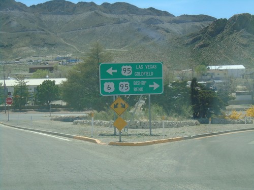
US-6 West At US-95
US-6 west at US-95. Use US-95 south for Las Vegas and Goldfield. Use US-95 north/US-6 west for Bishop (California) and Reno. US-6 joins US-95 north to Coaldale Junction.
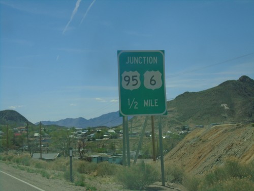
US-6 West Approaching US-95
US-6 west approaching US-95 junction in Tonopah. US-6 west joins US-95 north to Coaldale Junction.
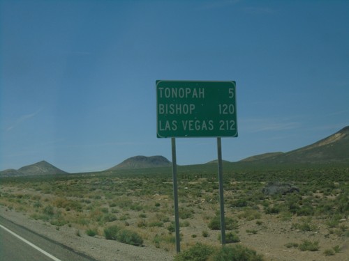
US-6 West - Distance Marker
Distance marker on US-6 west. Distance to Tonopah, Bishop (California), and Las Vegas (via US-95).
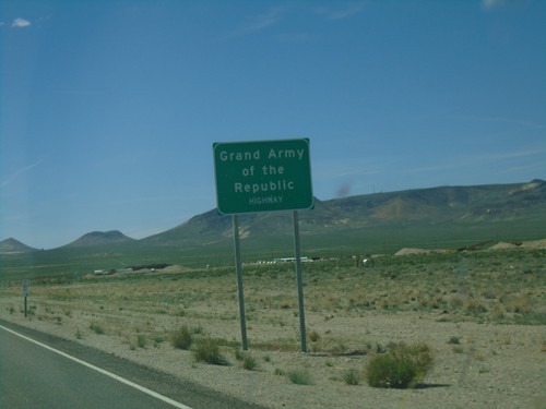
US-6 West - Grand Army of the Republic Highway
US-6 West - Grand Army of the Republic Highway in Nye County.
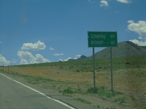
US-6 West - Distance Marker
Distance marker on US-6 west. Distance to Tonopah and Bishop (California).
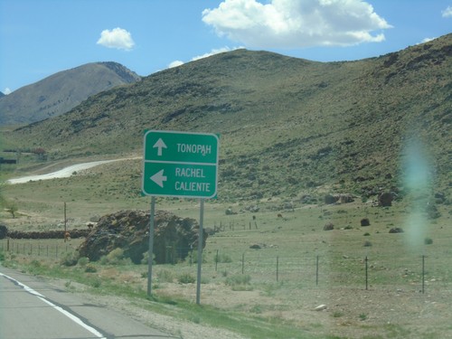
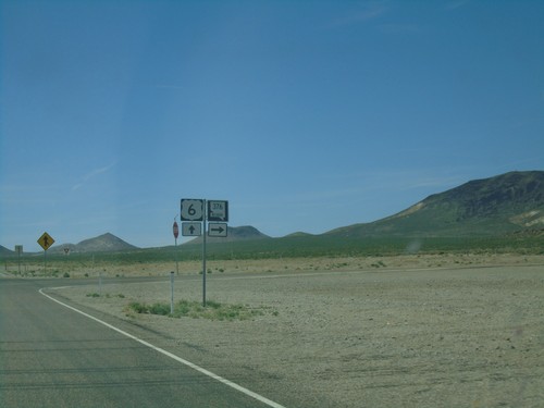
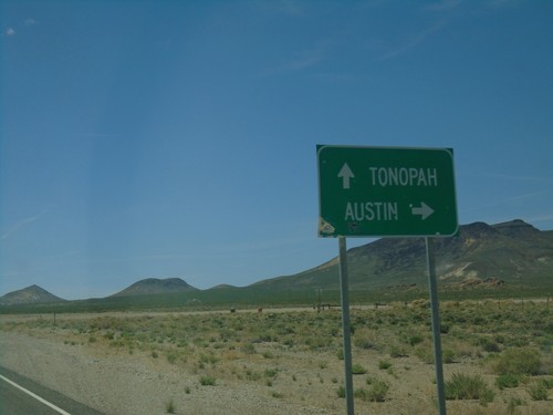
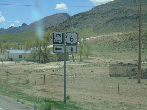
US-6 West at NV-375 South
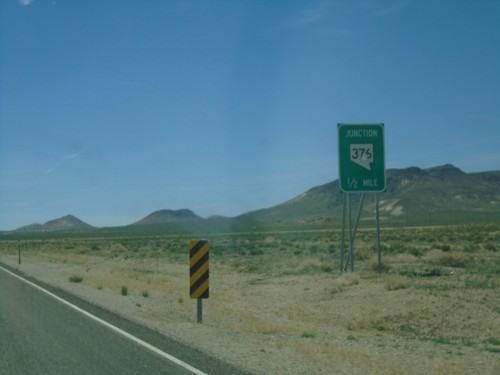
US-6 west at NV-375 south to Rachel and Caliente. Continue west on US-6 for Tonopah.
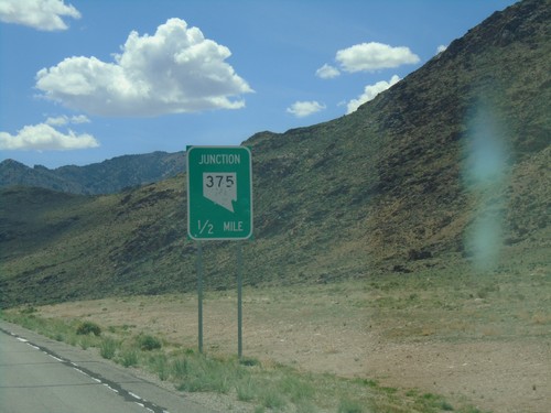
US-6 West Approaching NV-375 - Warm Springs Junction
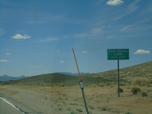
US-6 West approaching NV-375 - Warm Springs Junction.
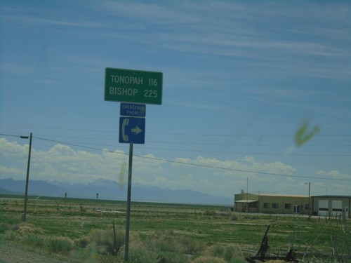
US-6 West - Distance Marker
Distance marker on US-6 west. Distance to Tonopah and Bishop (California). This is the first appearance of Bishop as a control city on US-6 westbound.
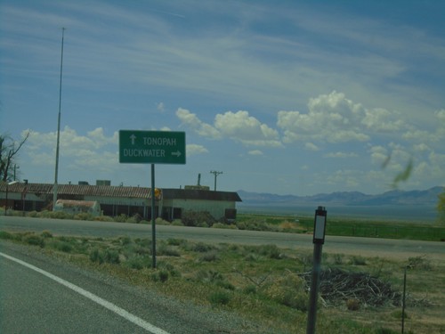
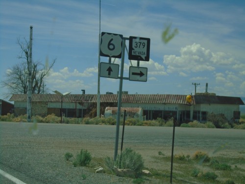
US-6 West Approaching NV-379
US-6 West approaching NV-379 north to Duckwater. Continue west on US-6 for Tonopah.
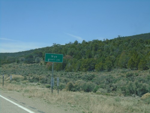
US-6 West - Nye County
Entering Nye County on US-6 West. Nye County is the largest county by area in Nevada and the third largest by area in the United States.
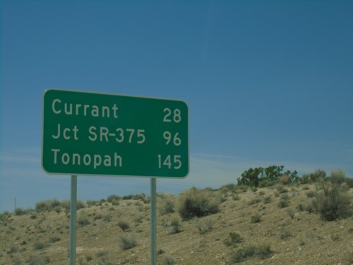
US-6 West - Distance Marker
Distance marker on US-6 West. Distance to Currant, Jct. SR-375, and Tonopah.
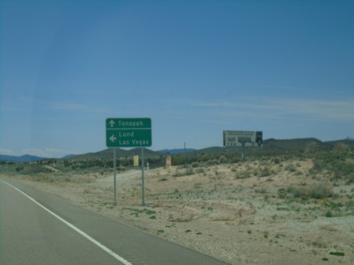
US-6 West Approaching NV-318
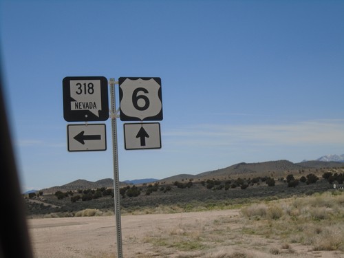
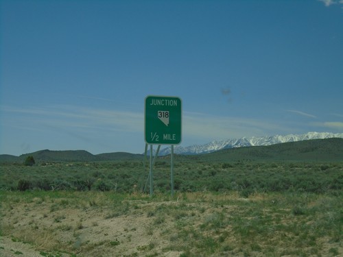
US-6 West approaching NV-318 South to Lund and Las Vegas. Continue west on US-6 for Tonopah.
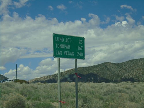
US-6 West - Distance Marker
Distance marker on US-6 west. Distance to Lund Jct., Tonopah, and Las Vegas (via NV-318).
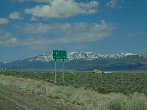
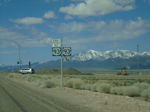
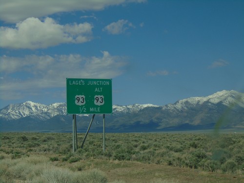
End Alt. US-95 South at US-93
End Alt. US-95 South at US-93 at Lages Station. Turn right for US-93 north to Wells; straight for US-93 south to Ely.
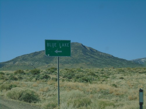
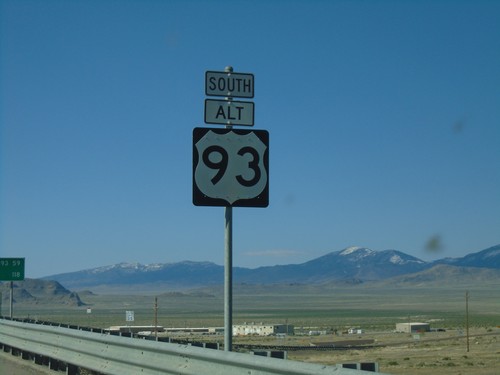
US-93 Alt. South Approaching Blue Lake Junction
US-93 Alt. South approaching Blue Lake Junction. Blue Lake is a popular spot for scuba divers.
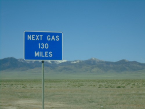
Alt. US-93 South - Next Gas 130 MPH
Next Gas 130 MPH on Alt. US-93 South. This sign is not correct, as the next gas is in McGill which is 107 miles.
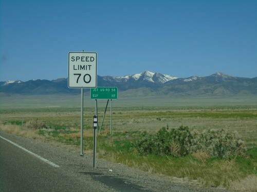
US-93 Alt South - Speed Limit 70 MPH
Speed limit 70 MPH on Alt. US-93 South leaving West Wendover. Distance marker to Jct. US-93 and Ely.
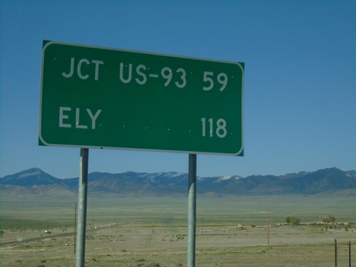
US-93 Alt. South - Distance Marker
Distance marker on US-93 Alt. South. Distance to Jct. US-93 and Ely.
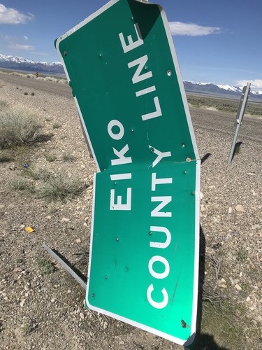
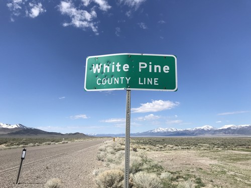
Alt. US-93 North - Elko County
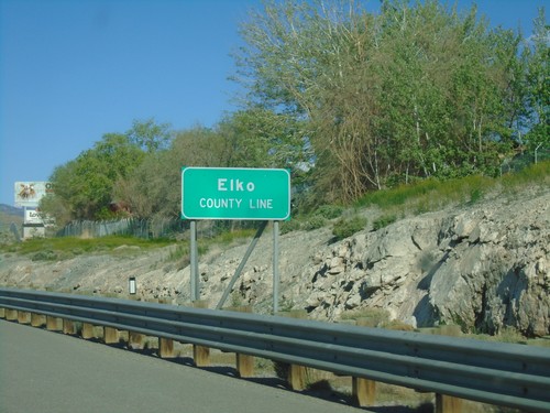
Elko County Line on Alt. US-93 North. The Elko County sign was damaged and hanging vertically from the post.
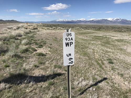
Alt. US-93 South - Postmile
Postmile marker on Alt. US-93 south at the Elko - White Pine County Line. White Pine County 5.69 - US93A.
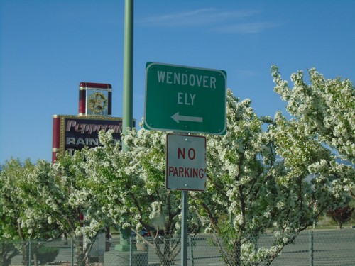
US-93 Alt. South/BL-80 East at Wendover Blvd.
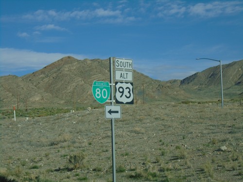
US-93 Alt. South/BL-80 East at Wendover Blvd. Turn left on Wendover Blvd. for Wendover and Ely and to continue on US-93 Alt. and BL-80.
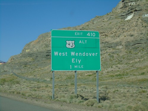
I-80 West Exit 410 (Nevada Exit)
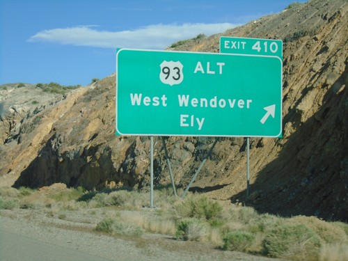
I-80 before the Utah-Nevada stateline at Exit 410 - US-93 Alt/West Wendover/Ely. Exit 410 is a Nevada Interchange
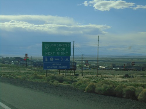
I-80 East Approaching Exit 410
I-80 east approaching Exit 410. Use Exit 410 for BL-80/Business Loop and Nevada Welcome Center.
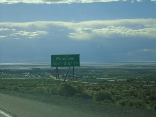
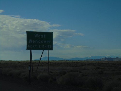
I-80 East - Wendover Next 2 Exits
I-80 East - Wendover Next 2 Exits. The salt flats are in the background of the photo.
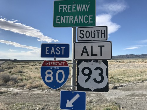
Pilot Peak Interchange at I-80 East/Alt. US-93 South
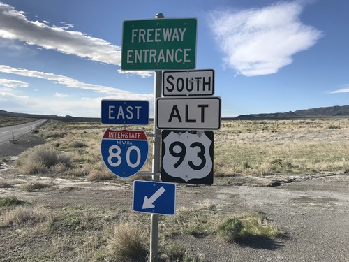
Pilot Peak interchange (Exit 398) at I-80 East/Alt. US-93 South in Elko County.
Pilot Peak Interchange at I-80 East/Alt. US-93 South
Pilot Peak interchange (Exit 398) at I-80 East/Alt. US-93 South in Elko County.
I-84 East at Exit 173 Offramp
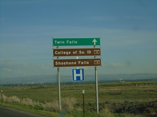
I-84 east - Exit 173 offramp. Use right lane for Twin Falls, College of Southern Idaho, and Shoshone Falls.
