Signs From June 2019
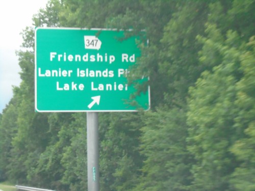
I-985 South - Exit 8
I-985 south at Exit 8 - GA-347/Friendship Road/Lanier Islands Parkway/Lake Lanier.
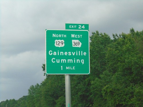
I-985 South - Exit 24
I-985 south approaching Exit 24 - US-129 North/GA-369 West/Gainesville/Cumming.
US-23 South Approaching GA-15 Connector
US-23 South approaching GA-15 Connector East/Level Grove Road.
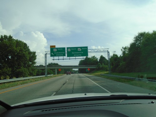
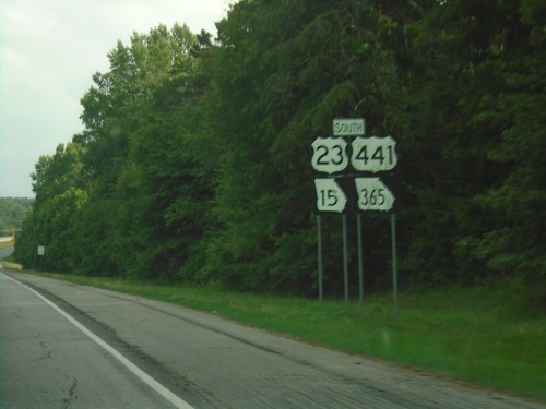
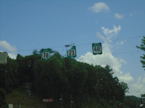
US-23/US-441 South at US-23/US-441 Split
US-23/US-441 South at US-23/US-441 split in Habersham County. Use left exit for US-441 South/Commerce/Athens. Continue south on US-23/GA-365 for Gainesville and Atlanta.
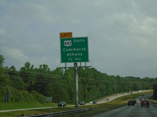
US-23/US-441 South Approaching US-23/US-441 Split
US-23/US-441 South approaching US-23/US-441 split. Use left exit for US-441 South/Commerce/Athens.
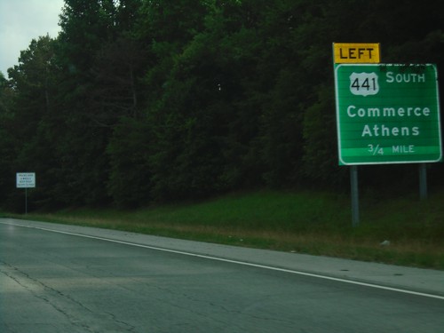
US-23/US-441 South at US-23/US-441 Split
US-23/US-441 South at US-23/US-441 split. Use left exit for US-441 South/Commerce/Athens.
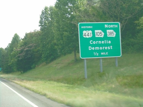
US-23/US-441 South Approaching Bus. US-441/GA-385/GA-105
US-23/US-441 South Approaching Historic Bus. US-441/GA-385 North/GA-105/Cornelia/Demorest.
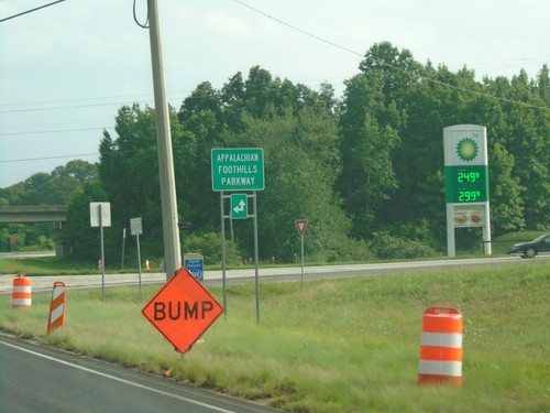
US-23/US-441 South at GA-17/GA-365/US-123
US-23/US-441 South at GA-17/GA-365/US-123 in Habersham County. Turn left or straight for the Appalachian Foothills Parkway.
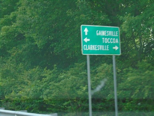
US-23/US-441 South at GA-17/GA-365/US-123
US-23/US-441 South at GA-17/GA-365/US-123 in Habersham County. Turn left for US-123 North/GA-17 South/GA-365 North for Toccoa; right for GA-17 North to Clarkesville; straight for US-23/US-441/GA-365 South for Gainesville.
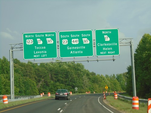
US-23/US-441 South Approaching GA-17/GA-365/US-123
US-23/US-441 South approaching GA-17/GA-365/US-123 junction. Turn left for US-123 North/GA-17 South/GA-365 North for Toccoa/Lavonia. Turn right for GA-17 North to Helen/Clarkesville. Continue south on US-23/US-441/GA-365 for Gainesville/Atlanta.
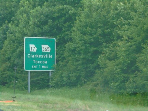
US-23/US-441 Approaching GA-17/GA-365/US-123
US-23/US-441 approaching GA-17/GA-365/US-123 junction. Use GA-17/GA-365 for Clarkesville and Toccoa.
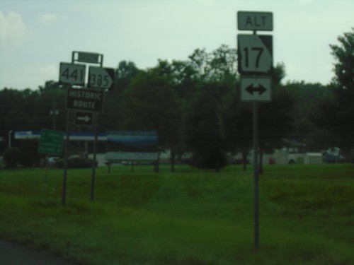
US-23/US-441/GA-15 South at Alt. GA-17/Bus. US-441/GA-385
US-23/US-441/GA-15 South at Alt. GA-17/Bus. US-441/GA-385 in Habersham County.
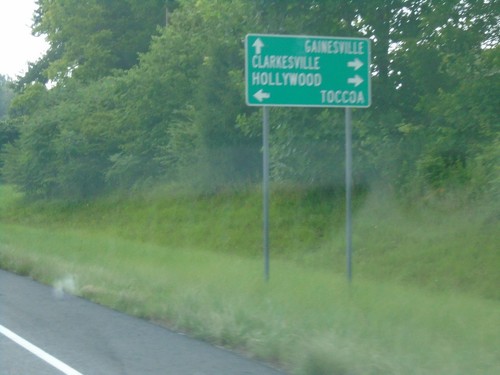
US-23/US-441/GA-15 South at Alt. GA-17/GA-385/Bus. US-441
US-23/US-441/GA-15 South at Alt. GA-17/GA-385/Bus. US-441. Turn left for Alt. GA-17 to Toccoa. Turn right for Bus. US-441/GA-385 to Hollywood and Clarkesville. Continue south on US-23/US-441/GA-15 for Gainesville.
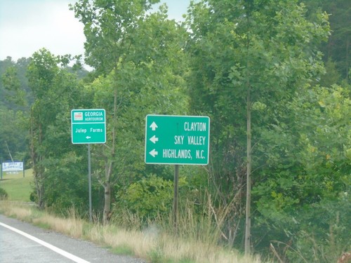
US-23 South/US-441 South at GA-246
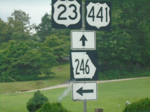
US-23 South/US-441 South at GA-246. Use GA-246 for Sky Valley and Highlands, NC. Continue south on US-23/US-441 for Clayton.
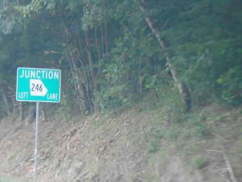
US-23 South/US-441 South Approaching GA-246
US-23 South/US-441 South approaching GA-246 in Rabun County.
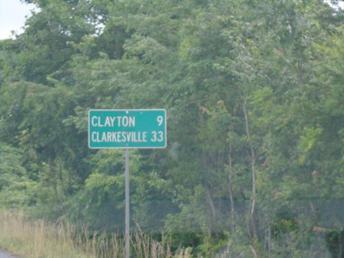
US-23 South/US-441 South - Distance Marker
Distance marker on US-23 South/US-441 South. Distance to Clayton and Clarkesville.
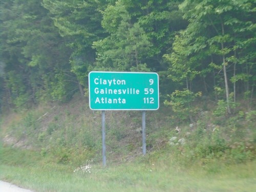
US-23 South/US-441 South - Distance Marker
Distance marker on US-23 South/US-441 South. Distance to Clayton (GA), Gainesville (GA), and Atlanta (GA).
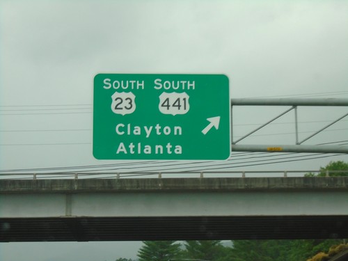
US-23 South/US-441 South/US-64 West at US-23/US-441/US-64 Split
US-23 South/US-441 South/US-64 West at US-23/US-441/US-64 Split in Franklin. Exit for US-23 South/US-441 South/Clayton (GA)/Atlanta (GA).
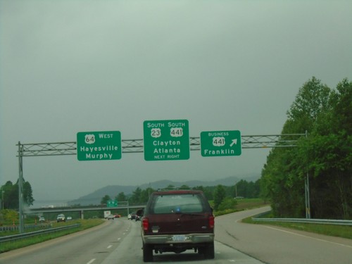
US-64 West/US-23 South/US-441 South - US-23/US-441/US-64 Split
US-64 West/US-23 South/US-441 South at US-23/US-441/US-64 Split in Franklin. First exit for Bus. US-441/Franklin. Second exit for US-23 South/US-441 South/Clayton (GA)/Atlanta (GA). Continue west on US-64 for Hayesville and Murphy.
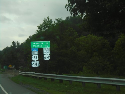
US-23 South/US-441 South/Truck US-64 West - Distance Marker
Distance Marker on US-23 South/US-441 South/Truck US-64 West. Distance to Franklin and Atlanta (GA). This route is part of the Appalachian Development Highway System.
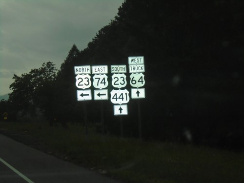
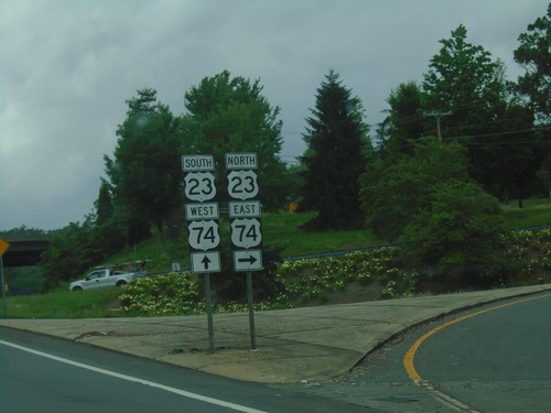
US-23 South/US-441 South at US-74 East/US-23 North
US-23 South/US-441 South at US-74 East/US-23 North onramp. Truck US-64 West follows US-23 South/US-441 South to Franklin.
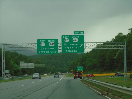
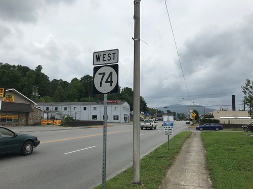
US-23 South/US-74 West - Exit 81
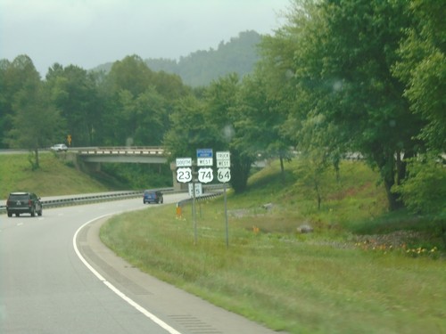
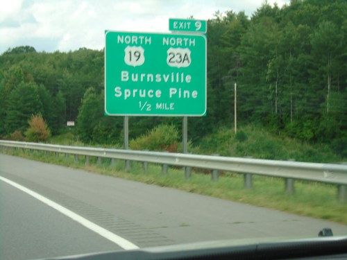
US-23 South/US-74 West at Exit 81 - US-23 South/US-441 South/Dillsboro/Franklin/Atlanta (GA). Continue ahead for US-74 West/US-441 North/Bryson City/Cherokee.
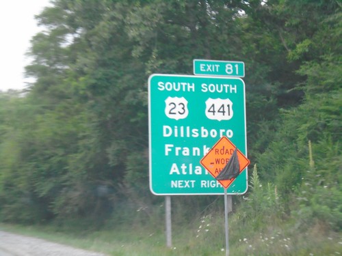
US-23 East/US-74 West - Exit 81
US-23 East/US-74 west approaching Exit 81 - US-23 South/US-441 South/Dillsboro/Franklin/Atlanta (GA). US-23 East and US-74 West split at this interchange.
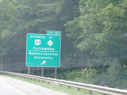
US-23 South/US-74 West - Exit 85
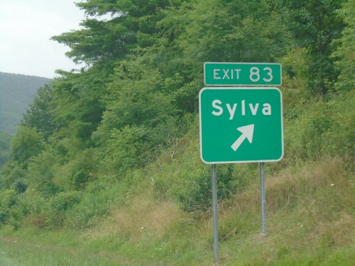
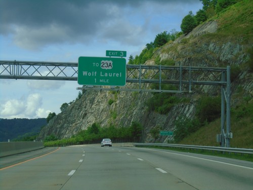
US-23 South/US-74 West at Exit 85 - Bus. US-23/To NC-107/Western Carolina University/Cullowhee.
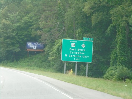
US-23 South/US-74 West - Exit 85
US-23 South/US-74 West approaching Exit 85 - Bus. US-23/To NC-107/Sylva/Cullowhee/Western Carolina University.
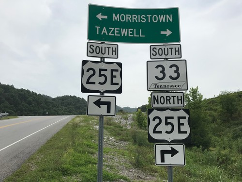
TN-33 South at US-25E
TN-33 South at US-25E in Claiborne County. Turn right for US-25E North/TN-33 South to Tazewell; left for US-25E South to Morristown.
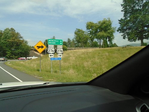
US-23 South/US-74 West Offramp at US-276
US-23 South/US-74 West offramp at US-276. Turn right for US-276 South to Waynesville and Brevard.
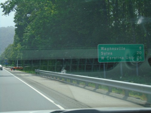
US-23 South/US-74 West - Distance Marker
Distance marker on US-23 South/US-74 West - Distance to Waynesville, Sylva, Western Carolina University.
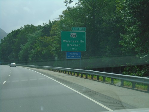
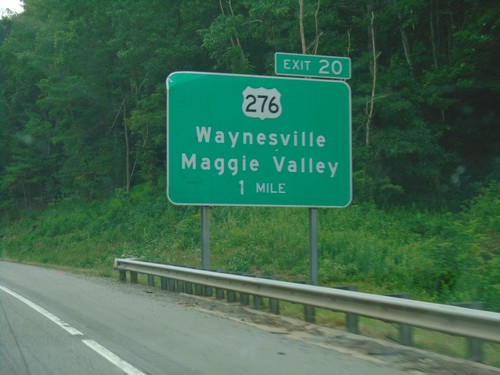
US-23 South/US-74 West - Exit 102
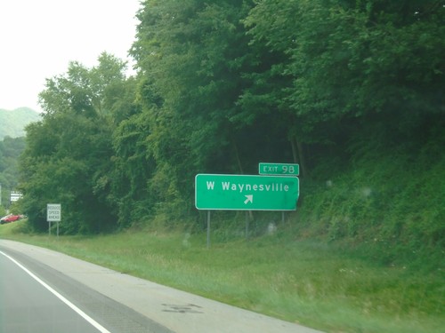
US-23 South/US-74 West approaching Exit 102 - US-276/Waynesville/Brevard.
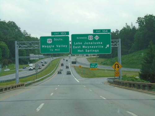
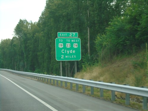
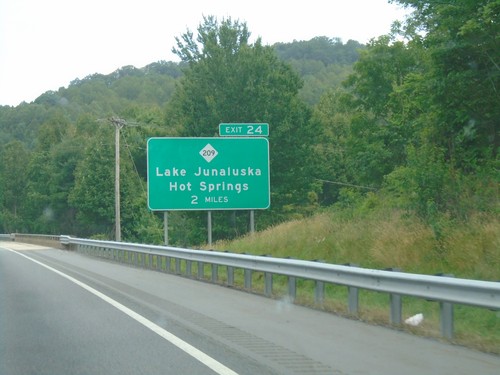
US-19/US-23 South/US-74 West - Exits 104 and 103
US-19/US-23 South/US-74 West at Exit 104 - Bus. US-23/NC-209/Lake Junaluska/East Waynesville/Hot Springs. Approaching Exit 103 - US-19 South/Maggie Valley.
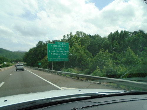
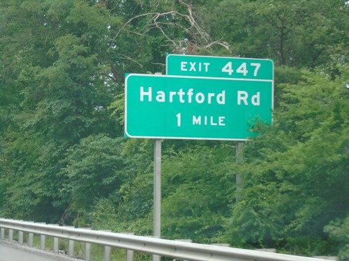
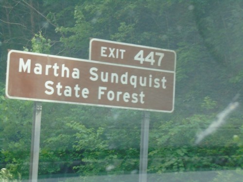
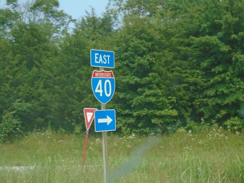
I-40 East - Exit 443
I-40 east at Exit 443 - Foothills Parkway/Gatlinburg/Great Smoky Mountains National Park.
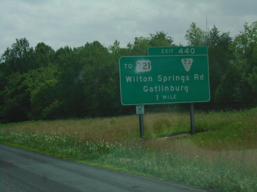
I-40 East - Exit 440
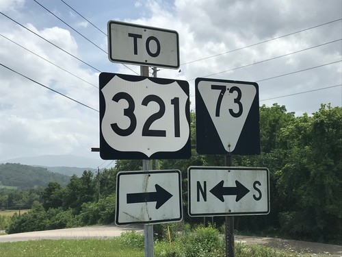
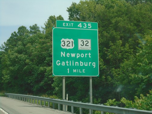
I-40 east approaching Exit 440 - To US-321/TNS-73/Wilton Springs Road/Gatlinburg.
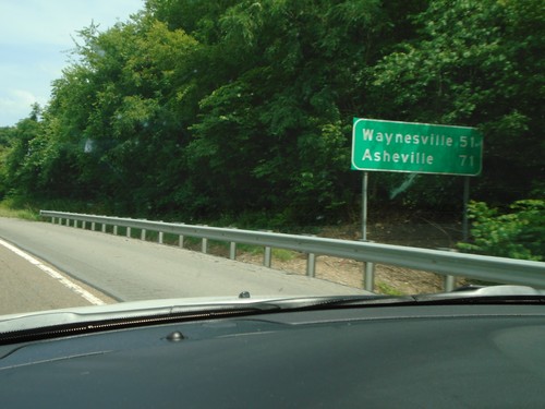
I-40 East - Distance Marker
Distance marker on I-40 east. Distance to Waynesville (NC) and Asheville (NC).
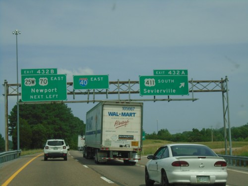
I-40 East - Exits 432A and 432B
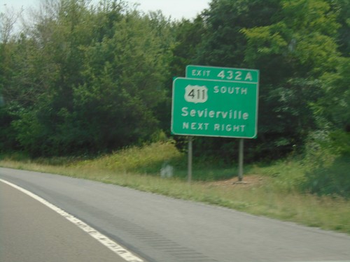
I-40 east at Exit 432A - US-411 South/Sevierville. Approaching Exit 432B - US-25W/US-70 East/Newport.
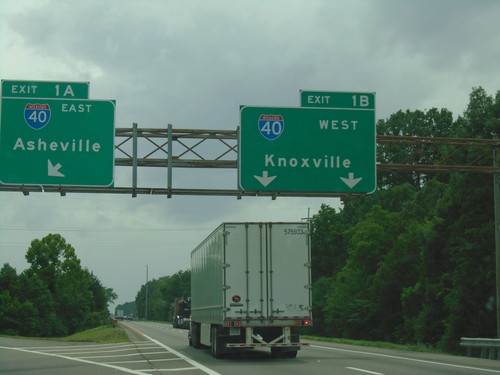
End I-81 South at I-40
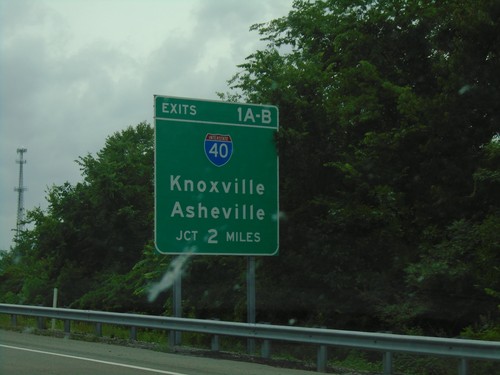
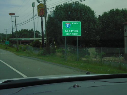
End I-81 South at I-40. Exit 1B - I-40 West/Knoxville; Exit 1A - I-40 East/Asheville (NC).
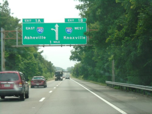
I-81 South - Exits 1A and 1B
I-81 south approaching Exit 1B - I-40 West/Knoxville. Approaching Exit 1A - I-40 East/Asheville (NC). This is the southern end of I-81.
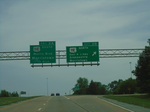
US-25E South - Exits 2B-A
US-25E South at Exit 2B - US-11E North/East A J Highway/Greeneville/Morristown. Approaching Exit 2A - US-11E South/Morris Blvd./Morristown.
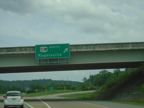
US-11W North/US-25 South at US-11W Split
US-11W North/US-25 South at US-11W Split. Exit for US-11W/Rodgersville.
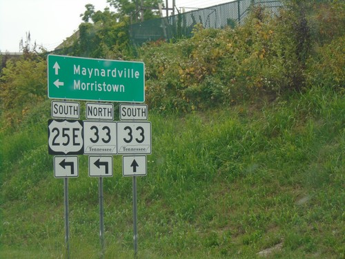
US-25E South at TN-33
US-25E South at TN-33 in Tazewell. Turn left for US-25E South/TN-33 North to Morristown. Continue straight for TN-33 South to Maynardville.
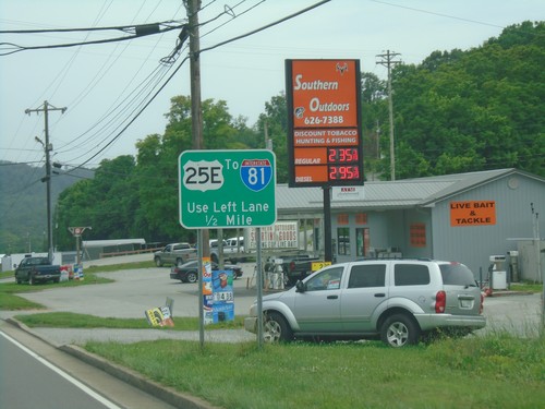
US-25E South Approaching TN-33
US-25E South Approaching TN-33 in Tazewell. Use left lane to continue south on US-25E/To I-81.
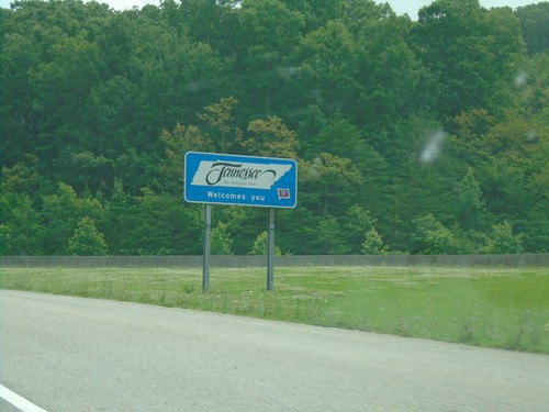
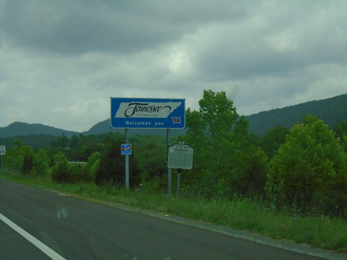
US-25E South - Welcome To Tennessee
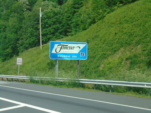
Welcome to Tennessee on US-25 South. Taken just south of the Cumberland Gap tunnel.
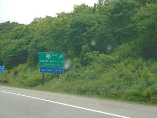
US-25E South at US-58 Interchange
US-25E South at US-58 West to Cumberland Gap, TN and Jonesville, VA. This is the western end of US-58.
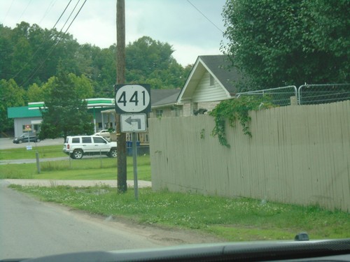
KY-441 Approaching Bellwood Road
KY-441 East (Old Pineville Pike) approaching Bellwood Road. Turn left to continue east on KY-441.
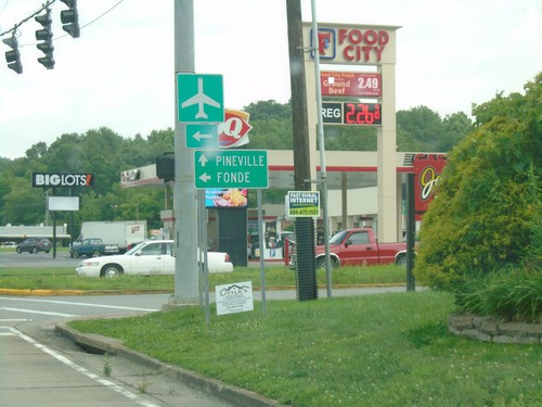
US-25E North at KY-74
US-25E North at KY-74. Use KY-74 for Fonde; continue north on US-25E for Pineville.
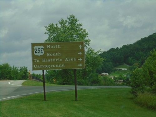
Cumberland Gap Interchange at US-25E
Cumberland Gap National Park Interchange at US-25E. Turn right for US-25E South to (Cumberland Gap) Tennessee Historic Area and Campground. Continue over freeway for US-25E North.
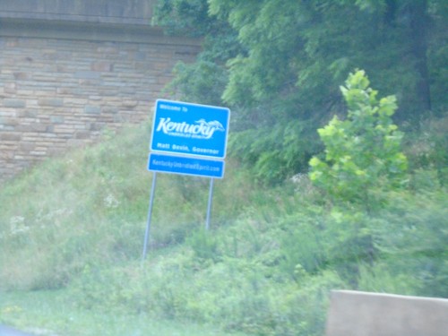
US-25E North - Welcome To Kentucky
Welcome To Kentucky on US-25E North, leaving the Cumberland Gap tunnel.
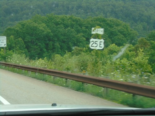
US-25E North - Claiborne County
US-25E North in Claiborne County approaching the Cumberland Gap tunnel.
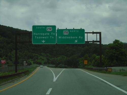
End US-58 West at US-25E
End US-58 West at US-25E. Use US-25E south for Harrogate, TN and Tazewell, TN. Use US-25E north for Middlesboro, KY.
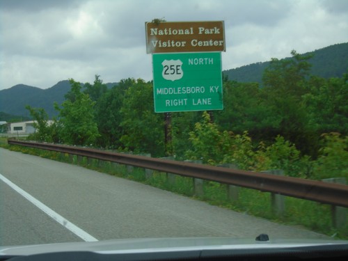
US-58 West Approaching US-25E
US-58 west approaching US-25E. Use US-25E north for Middlesboro, KY and Cumberland Gap National Park Visitors Center.
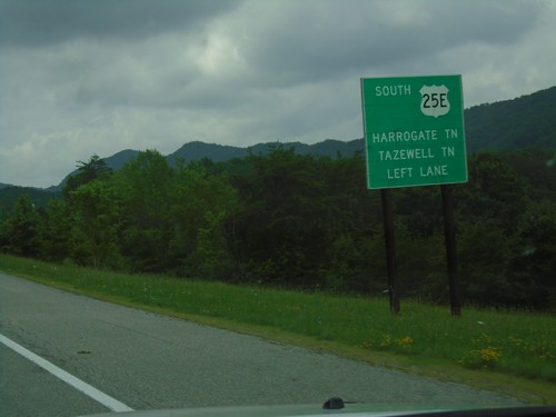
End US-58 West Approaching US-25E
End US-58 West approaching US-25E. Use US-25E South for Harrogate, TN and Tazewell, TN.
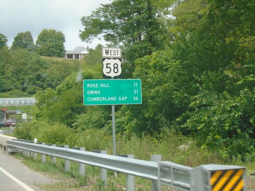
US-58 West - Distance Marker
Distance marker on US-58 west. Distance to Rose Hill, Ewing, and Cumberland Gap (TN).
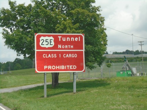
US-58 West/US-421 North - Cumberland Gap Tunnel Information
US-58 West/US-421 North - Cumberland Gap Tunnel Information. Class 1 cargo through the Cumberland Gap Tunnel on US-25E North is prohibited.

US-58 East at VA-91 - Damascus
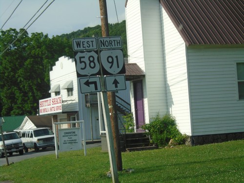
US-58 East at VA-91 in Damascus. VA-91 south joins US-58 east through Damascus.

US-23 North/US-58 West/US-421 North at US-23 Split
US-23 North/US-58 West/US-421 North at US-23 split. Turn left to continue on US-58 West/US-421 North.
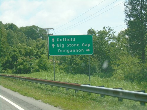
US-23/US-421 North/US-58 West Approaching VA-65
US-23/US-421 North/US-58 West Approaching VA-65 to Dungannon. Continue on US-23/US-421 North/US-58 West for Duffield and Big Stone Gap.
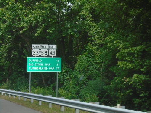
US-23 North/US-58 West/US-421 North - Distance Marker
Distance Marker on US-23 North/US-58 West/US-421 North. Distance to Duffield, Big Stone Gap, and Cumberland Gap.
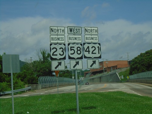
US-23 North/US-58 West/US-421 North at Bus. US-23/Bus.US-58/Bus. US-421
US-23 North/US-58 West/US-421 North at Bus. US-23/Bus.US-58/Bus. US-421 in Gate City.
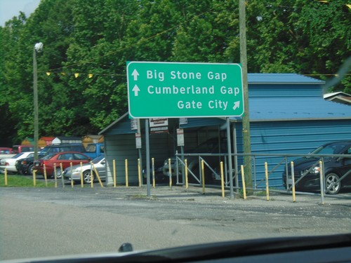
US-23/US-421 North/US-58 West at Bus. US-23/Bus. US-421/Bus. US-58
US-23/US-421 North/US-58 West at Bus. US-23/Bus. US-421/Bus. US-58 in Gate City. Use Bus. US-23/Bus. US-421/Bus. US-58 for Gate City; continue on US-23 North/US-421 North/US-58 West to Big Stone Gap and Cumberland Gap.
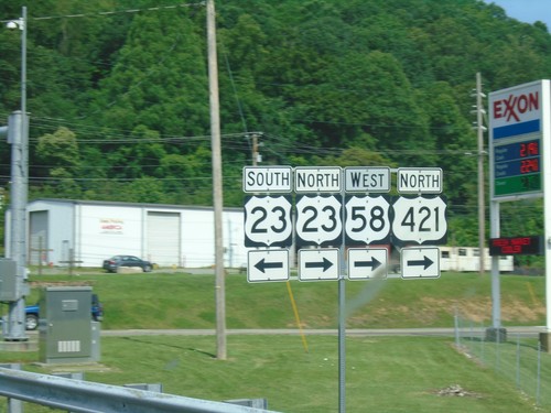
US-58 West/US-421 North at US-23
US-58 West/US-421 North at US-23 in Weber City. Turn left for US-23 south; right for US-23 North/US-421 North/US-58 West.
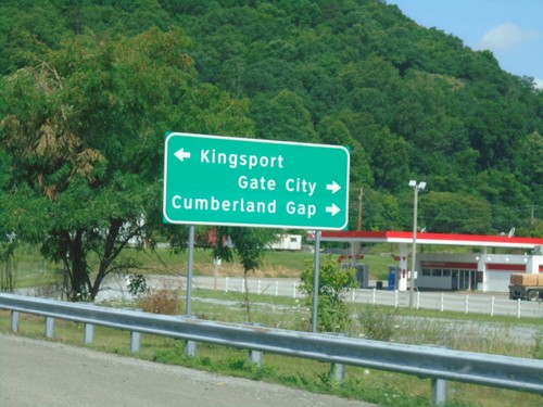
US-58 West/US-421 North at US-23
US-58 West/US-421 North at US-23 in Weber City. Turn left for US-23 south to Kingsport (TN). Turn right for US-23 North/US-58 West/US-421 North to Gate City and Cumberland Gap.
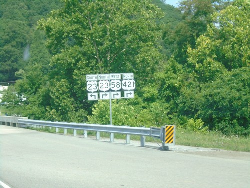
US-58 West/US-421 North Approaching US-23
US-58 West/US-421 North approaching US-23. Turn left for US-23 south; turn right for US-23 North/US-58 West/US-421 North.
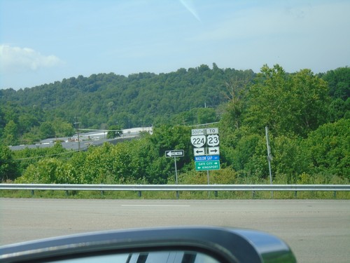
US-58 West/US-421 North at VA-224
US-58 West/US-421 North at VA-224 in Weber City. Turn left for VA-224 South to Kingsport (TN); right for US-58 West/US-421 North/To US-23 to Gate City.
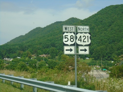
US-58 West/US-421 North Approaching VA-224
US-58 West/US-421 North Approaching VA-224 in Scott County.
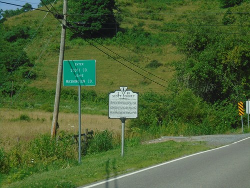
US-58 West/US-421 North - Scott County
Entering Scott County/Leaving Washington County on US-58 West/US-421 North.
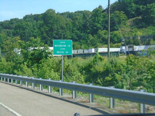
US-58 West/US-421 North - Washington County
Entering Washington County/Leaving Bristol, VA on US-58 West/US-421 North.
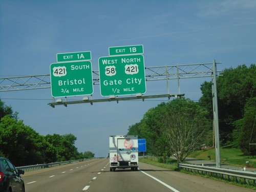
I-81 South - Exits 1A and 1B
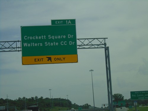
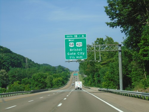
I-81 south approaching Exit 1B - US-58 West/US-421 North/Gate City. Approaching Exit 1B - US-421 South/Bristol. This is the last exit in Virginia on I-81 south.
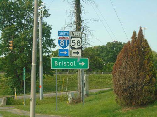
Alt. US-58 East at I-81/US-58
Alt. US-58 East at I-81/US-58 in Abingdon. Use I-81 South/US-58 West for Bristol.
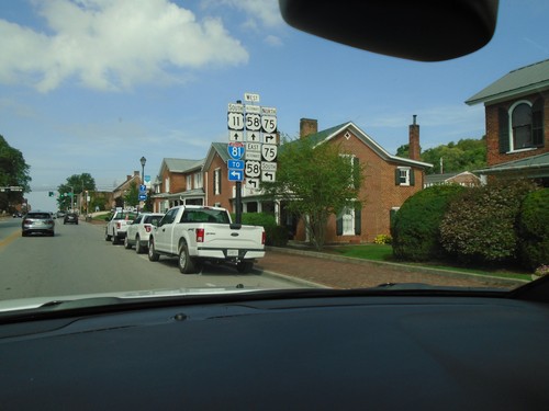
US-11/Alt. US-58 at VA-75
US-11/Alt. US-58 at VA-75 in Abingdon. Turn left for Alt. US-58 East/VA-75 South to I-81. Continue straight for US-11 South/Alt. US-58 West.
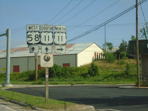
US-58 West at US-11 - Abingdon
US-58 West at US-11 in Abingdon. US-11 South joins US-58 west to I-81.
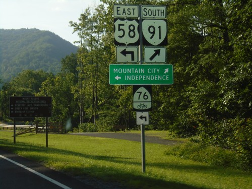
US-58 East/VA-91 South at US-58/VA-91 Split
US-58 East/VA-91 South at US-58/VA-91 split. Merge right for VA-91 South to Mountain City (TN). Turn left for US-58 east to Independence and bike route 76.
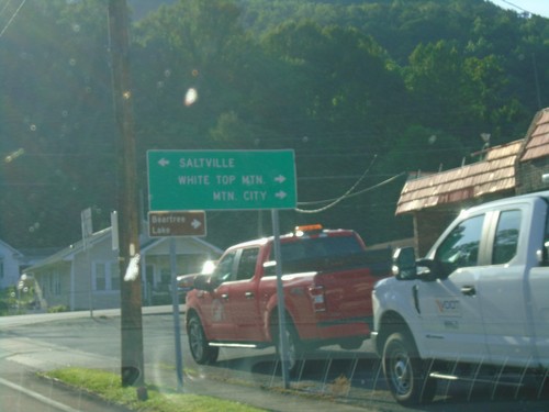
US-58 East at VA-91 - Damascus
US-58 East at VA-91 in Damascus. Turn left for VA-91 north to Saltville; turn right for US-58 East/VA-91 South to White Top Mountain and Mountain City (via VA-91).
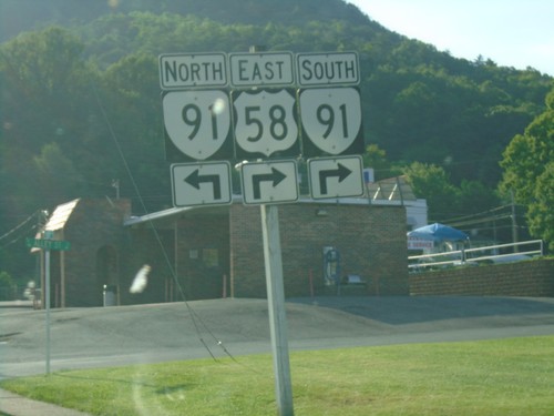
US-58 East at VA-91 in Damascus
US-58 East at VA-91 in Damascus. VA-91 south joins US-58 east through Damascus.
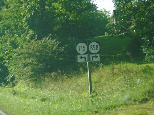
US-58 East Approaching VAS-715 and VAS-858
US-58 East Approaching VAS-715 and VAS-858 in Washington County.
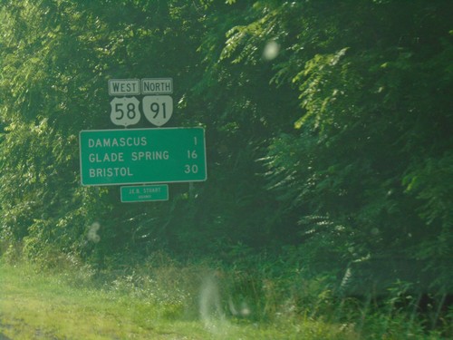
US-58 West/VA-91 North - Distance Marker
Distance Marker on US-58 West/VA-91 North. Distance to Damascus, Glade Spring, and Bristol. US-58 is the Jeb Stewart Highway.
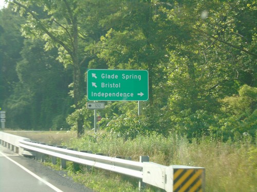
VA-91 North at VAS-1212; Approaching US-58
VA-91 north at VAS-1212. VA-91 north approaching US-58. Turn right for US-58 East to Independence; turn left for US-58 West/VA-91 North to Bristol and Glade Spring.
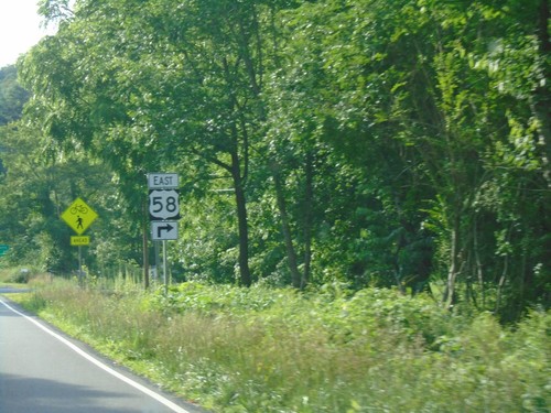
VA-91 North Approaching US-58
VA-91 North Approaching US-58 in Washington County. Turn right for US-58 East. VA-91 North joins US-58 West into Damascus.
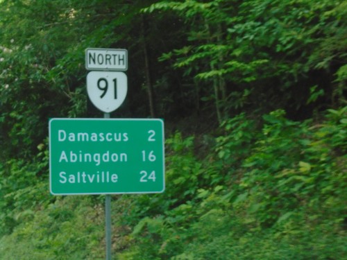
VA-91 North - Distance Marker
Distance marker on VA-91 north. Distance to Damascus, Abingdon, and Saltville.
Entering Virginia on VA-91 North
Virginia on VA-91 north. Taken at the Tennessee-Virginia State Line.
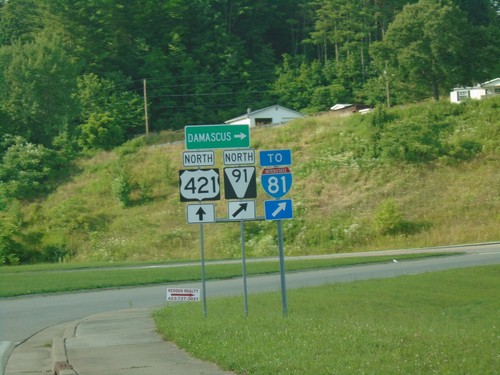
US-421 North at TNS-91 North/To I-81
US-421 North at TNS-91 North/To I-81. Use TNS-91 north for Damascus (VA).
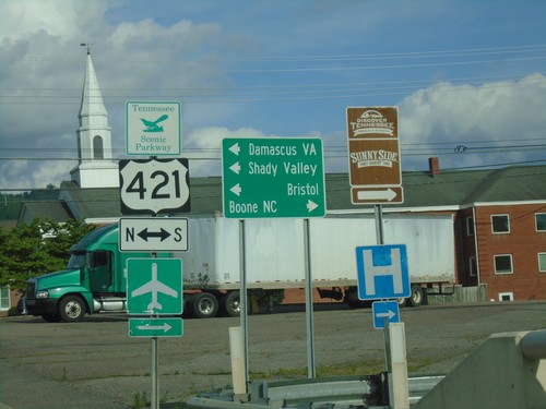
TN-67 East at US-412/TNS-418
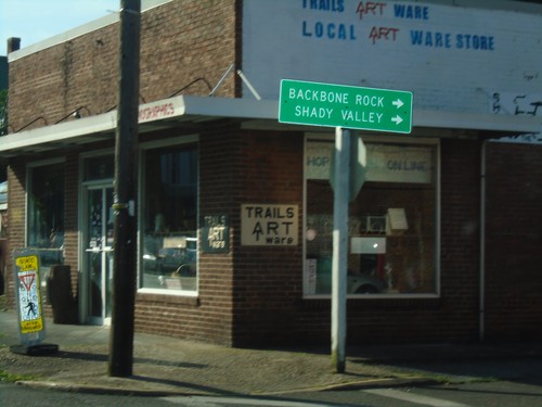
TN-67 East at US-412/TNS-418 in Mountain City. Use US-412 South/TN-67 East to Boone, NC. Use US-412 North to Damascus (VA), Bristol, and Shady Valley.
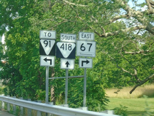
TN-67 East at US-421/TNS-418/To TNS-91
TN-67 East at US-421/TNS-418/To TNS-91 in Mountain City. Turn right to continue east on TN-67.
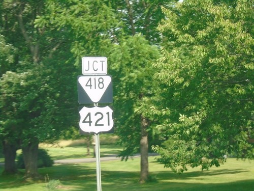
TN-67 East Approaching US-421 and TNS-418
TN-67 East Approaching US-421 and TNS-418 in Mountain City.
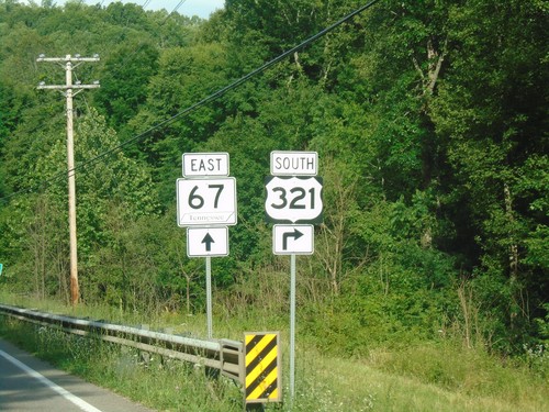
US-321 South/TN-67 East Split
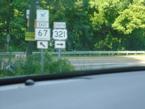
US-321 South/TN-67 East Split in Carter County. Turn right for US-321 South; continue straight for TN-67 East.
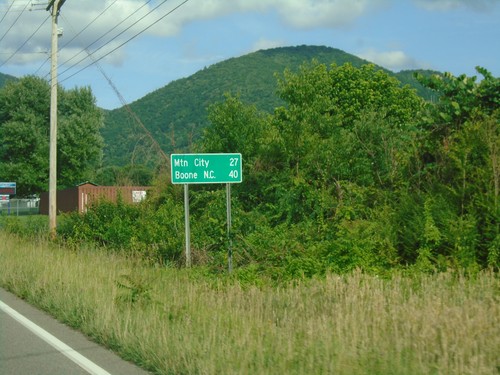
US-321 South/TN-67 - Distance Marker
Distance Marker on US-321 South/TN-67 East. Distance to Mountain City and Boone, NC.
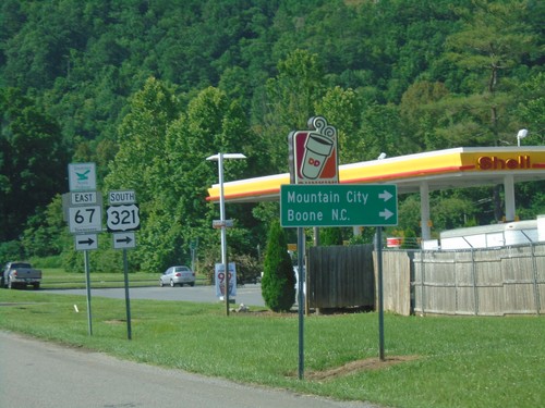
US-19E North at US-321/TN-67 - Hampton
US-19E North at US-321/TN-67 in Hampton. Turn right for US-321 South/TN-67 East to Mountain City and Boone NC. Continue straight for US-19E/US-321 North/TN-67 West.
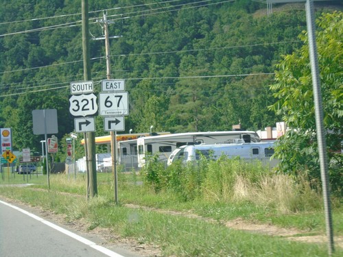
US-19E North at US-321 and TN-67
US-19E North at US-321 and TN-67 in Hampton. Turn right for US-321 South/TN-67 East. Continue straight for US-321 north. US-321 North joins US-19E northbound.
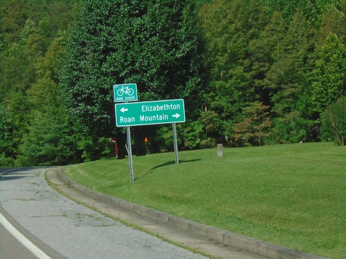
End TNS-173 North at US-19E
End TNS-173 North at US-19E. Use US-19E south for Roan Mountain; US-19E north for Elizabethton.
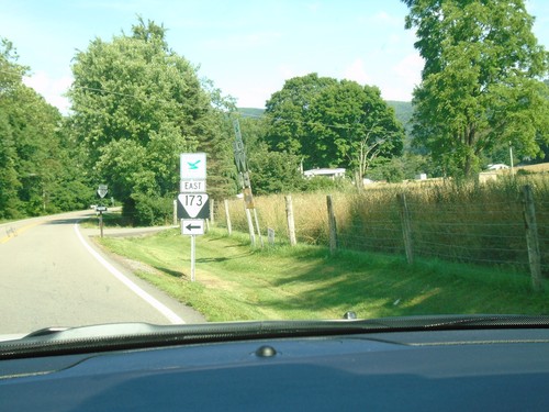
TNS-107/TNS-173 East at TNS-107/TNS-173 Split
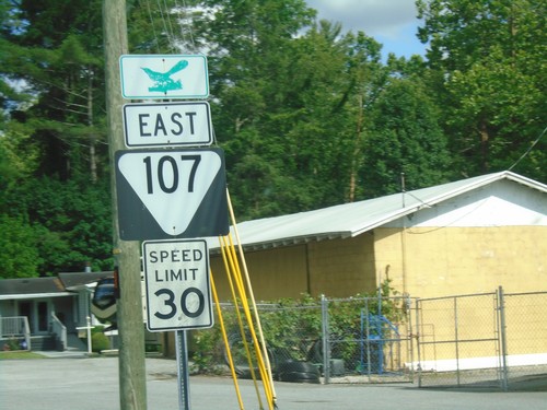
TNS-107/TNS-173 East at TNS-107/TNS-173 Split in Unicoi County
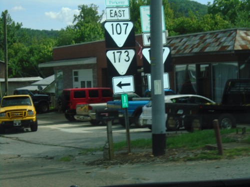
TNS-173 East at TNS-107
TNS-173 East at TNS-107. Turn left for TNS-173 East/TNS-107 East. Continue straight for TNS-107 West.
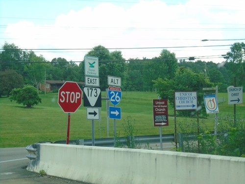
I-26 Exit 32 Offramp at TNS-173 East
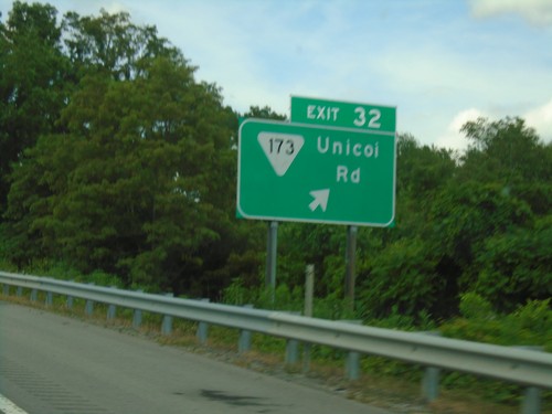
I-26 Exit 32 Offramp at TNS-173 East, a Tennessee Scenic Parkway. Use TNS-173 east for Alt. I-26 junction.
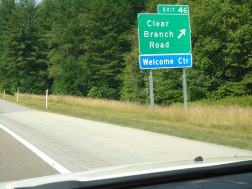
I-26 West - Exit 46
I-26 west at Exit 46 - Clear Branch Road. Use Exit 46 for the Tennessee Welcome Center.
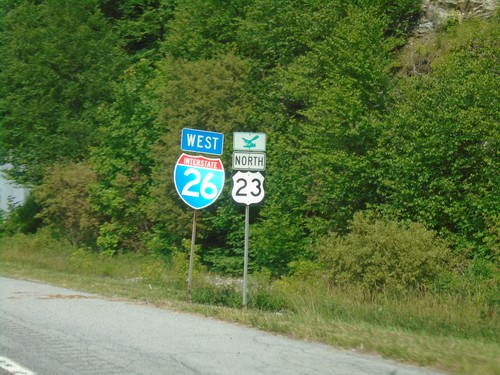
I-26 West/US-23 North - Unicoi County
I-26 West/US-23 North in Unicoi County. US-23 is a Tennessee Scenic Byway.
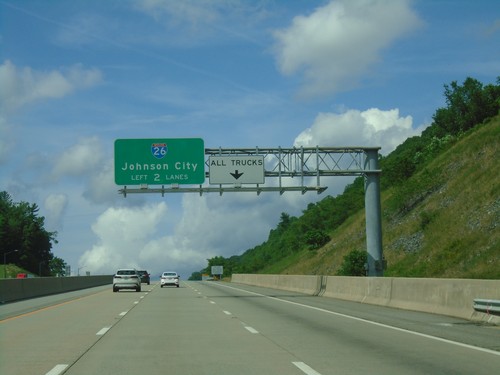
I-26 West Approaching Sams Gap
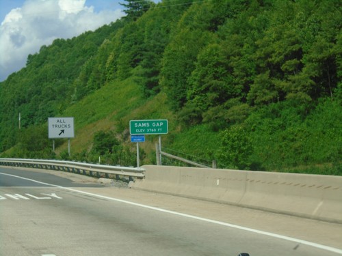
I-26 west approaching Sams Gap. Use left two lanes for I-26 West/Johnson City. Trucks use right lane for brake check area.
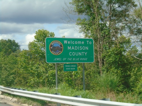
Future I-26 West - Madison County
Entering Madison County on Future I-26 West crossing Ivy Creek. Ivy Creek is part of the French Broad River Basin.
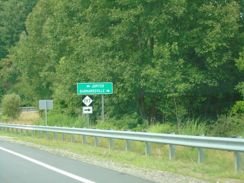
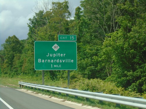
Future I-26 Exit 15 Offramp at NC-197
Future I-26 Exit 15 Offramp at NC-197. Turn right for NC-197 to Barnardsville; left for Jupiter.
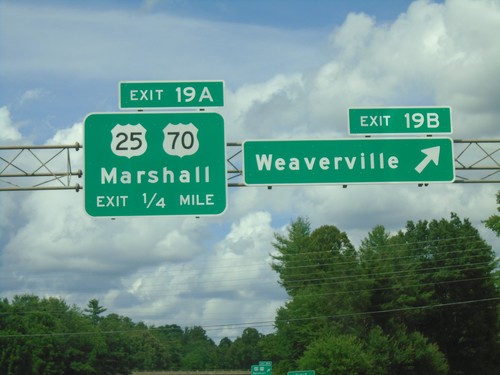
Future I-26 West - Exits 19B-A
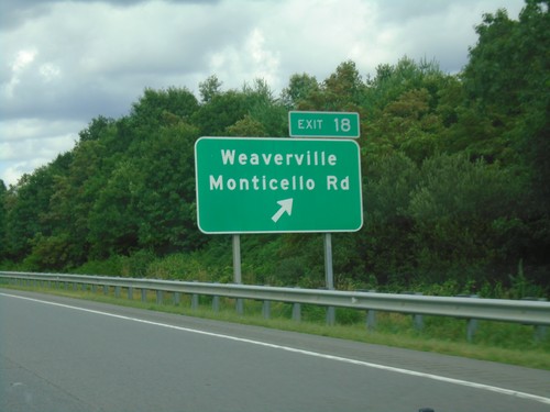
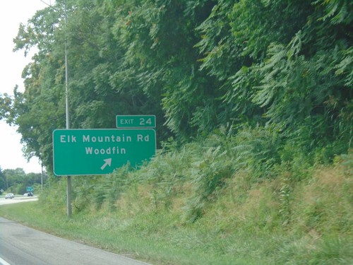
Future I-26 west at Exit 19B - Weaverville. Approaching Exit 19A - US-25/US-70/Marshall.
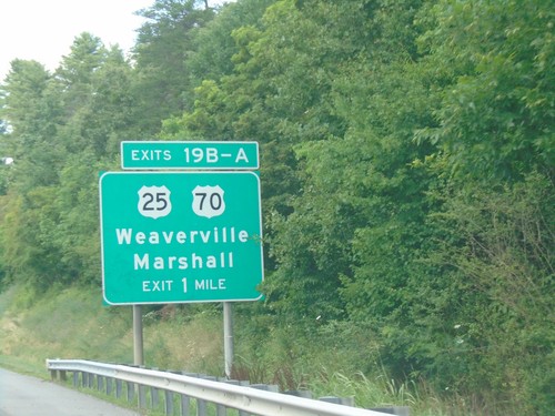
Future I-26 West - Exit 19B-A
Future I-26 West approaching Exit 19B-A - US-25/US-70/Weaverville/Marshall. US-70 west leaves Future I-26 West here.
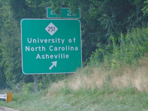
Future I-26 West - Exit 25
Future I-26 west at Exit 25 - NC-251/University of North Carolina Asheville
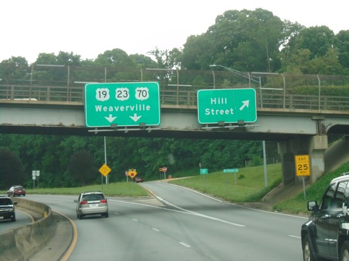
Future I-26/US-19/US-23/US-70 - Hill St. Interchange
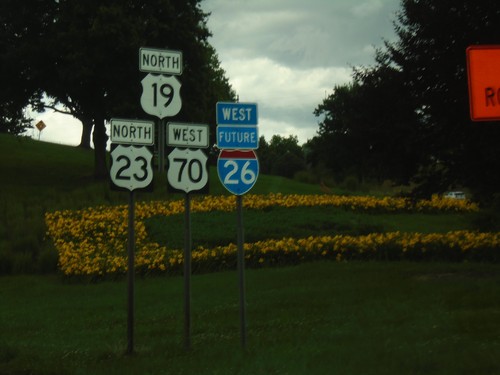
Future I-26/US-19/US-23/US-70 at Hill St. Interchange. Continue on freeway for Weaverville.
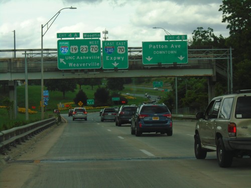
I-240 East/US-70 East at Exits 4A and 4B
I-240 East/US-70 East at Exits 4A and 4B. Exit 4A (Left) - Future I-26 West/US-19/US-23/US-70 West/UNC Asheville/Weaverville/Woodfin. Exit 4B - Patton Ave./Downtown. Continue ahead for I-240 East/US-70 East/ Expressway. I-26 becomes Future I-26 before this intersection because parts of the highway are not up to interstate standards.
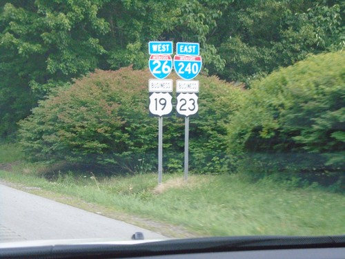
I-26 West/I-240 East/Bus. US-19/Bus. US-23 - Asheville
I-26 West/I-240 East/Bus. US-19/Bus. US-23 in Asheville.
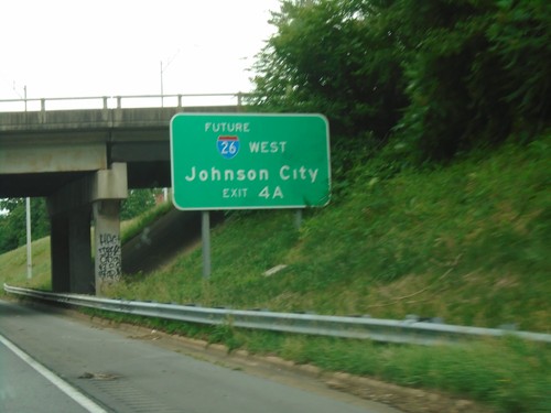
I-26 West/I-240 East - Approaching Exit 4A
I-26 West/I-240 East approaching Exit 4A - Future I-26 West/Johnson City (TN).
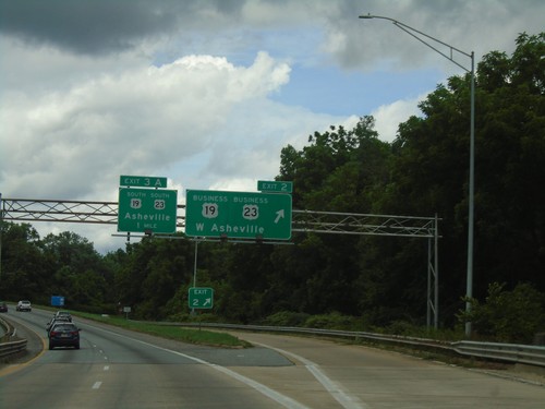
I-26 West/I-240 East - Exits 2 and 3A
I-26 West/I-240 East at Exit 2 - Bus. US-19/Bus. US-23/West Asheville. Approaching Exit 3A - US-19 South/US-23 South/Asheville.
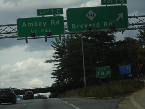
I-26 West/I-240 East - Exits 1B and 1C
I-26 West/I-240 East at Exit 1B - NC-191/Brevard Road. Approaching Exit 1C - Amboy Road.
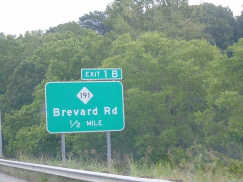
I-26 West/I-240 East - Exit 1B
I-26 West/I-240 East approaching Exit 1B - NC-191/Brevard Road. The mileposts along the I-26/I-240 overlap in Asheville use the distance from I-240. This is not usual for a primary route to use the mileposts for a loop route. However, I-26 becomes Future I-26 north of I-240.
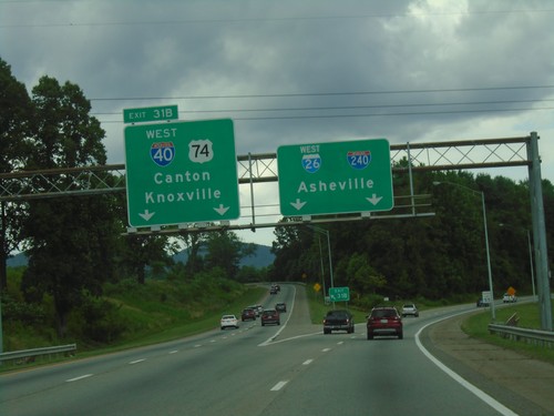
I-26 West - Exit 31B
I-26 west at Exit 31B (Left Exit) - I-40 West/US-74 West/Canton/Knoxville (TN). Continue straight for I-26 West/I-240 East/Asheville.
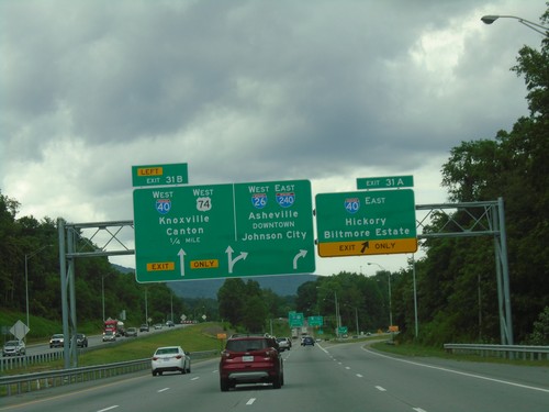
I-26 West - Exits 31A and 31B
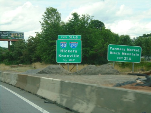
I-26 west at Exit 31A - I-40 East/Hickory/Biltmore Estate. Approaching Exit 31B - I-40 West/US-74 West/Knoxville (TN)/Canton. Continue straight for I-26 West/I-240 East/Asheville Downtown/Johnson City (TN). US-74 leaves I-26 westbound and joins I-40 westbound.
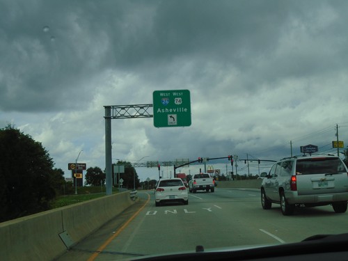
NC-280 East at I-26/US-74 West to Asheville
NC-280 East at I-26/US-74 West to Asheville. This intersection is a diverging diamond interchange, and is why the traffic is on the left.
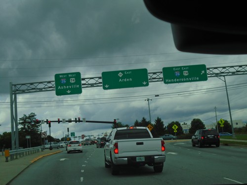
NC-280 East at I-26/US-74
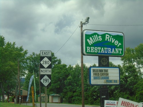
NC-280 East at I-26/US-74 in Buncombe County. Merge right for I-26 East/US-74 East/Hendersonville; merge left for I-26 West/US-74 West/Asheville; continue straight on NC-280 East for Arden.
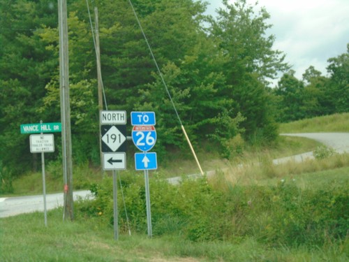
NC-280 East/NC-191 North at NC-191 Split
NC-280 East/NC-191 North at NC-191 Split. Turn left for NC-191 north; continue straight on NC-280 for I-26.
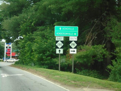
NC-280 East at NC-191 South
NC-280 East at NC-191 South. Use NC-191 south for Hendersonville; continue on NC-280 east for Asheville.
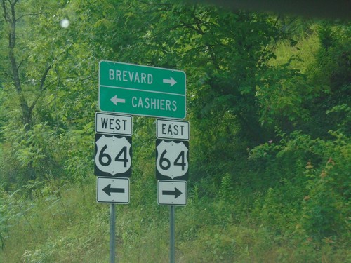
End US-178 West at US-64
End US-178 West at US-64 in Transylvania County. Use US-64 west for Cashiers; US-64 east for Brevard.
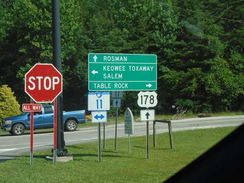
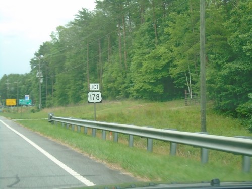
US-178 North at SC-11
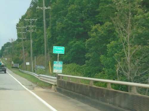
US-178 North at SC-11 in Pickens County. Turn right for SC-11 East to Table Rock; left for SC-11 West to Keowee Toxaway and Salem. Continue north on US-178 for Rosman (NC).
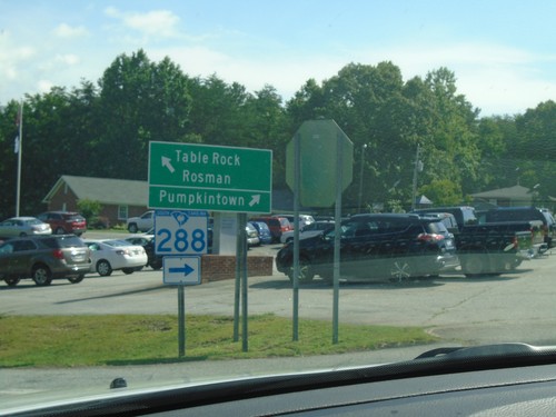
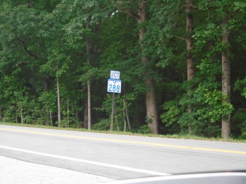
US-178 North at SC-288
US-178 North at SC-288 to Pumpkintown. Continue north on US-178 for Table Rock and Rosman (NC).
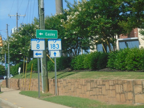
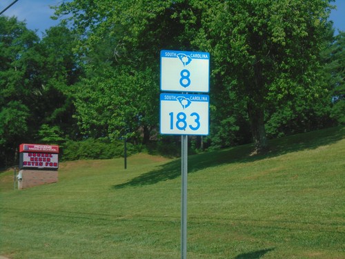
SC-8 West at SC-183 - Pickens
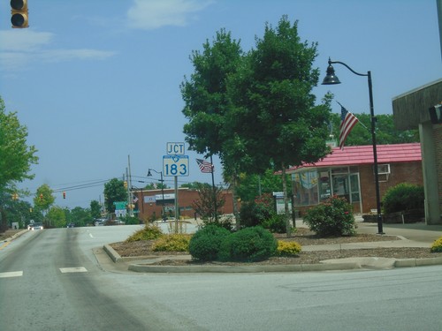
SC-8 West at SC-183 in Pickens. Turn left for SC-8 to Easley. SC-8 joins SC-183 through Pickens.
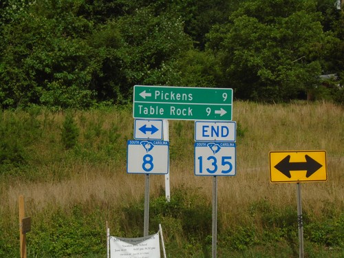
End SC-135 North at SC-8
End SC-135 North at SC-8. Turn right for SC-8 to Table Rock; left for SC-8 to Pickens.
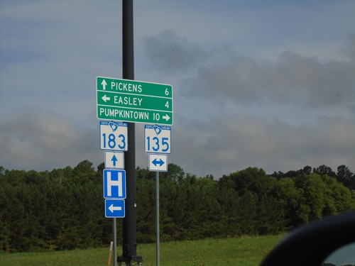
SC-183 West at SC-135
SC-183 West at SC-135 in Easley. Turn right for SC-135 North to Pumpkintown; left for SC-135 South to Easley. Continue straight on SC-183 for Pickens.
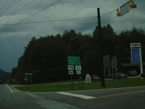
SC-11 East at US-178
SC-11 East at US-178 in Pickens County. Use US-178 West for Rosman (NC); US-178 East for Pickens. Continue east on SC-11 for Table Rock.
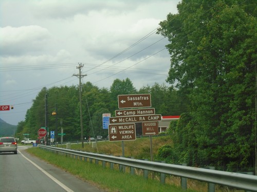
SC-11 West at US-178
SC-11 West at US-178 in Pickens County. Use US-178 West for Sassafras Mountain, Camp Hannon, and McCall RA Camp.
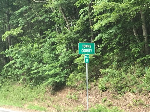
GA-180 East - Towns County
Towns County on GA-180 East at Milepost 0. The Mileposts in Georgia reset at each county line on state highways.

GA-180 Spur North - Brasstown Bald
GA-180 Spur North on road to Brasstown Bald, the highest point in Georgia.
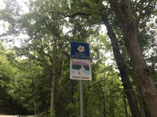
GA-180 Spur North - Georgia Scenic Byway
GA-180 Spur North - Georgia Scenic Byway and National Scenic Byway
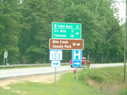
SC-11 East at SC-133
SC-11 East at SC-133 South to Six Mile, Clemson, and Mile Creek County Park. Continue east on SC-11 for Table Rock.
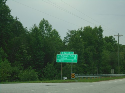
SC-11 East at SC-130 - Salem
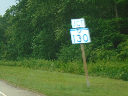
SC-11 East at SC-130 in Salem. Turn left for SC-130 north to Camp Buc, Whitewater Falls, and Cashiers (NC). Turn right for SC-130 south to Salem.
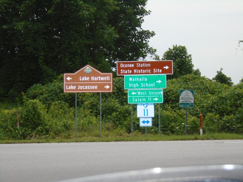
Connector from SC-183 to SC-11 at SC-11
Connector from SC-183 to SC-11 at SC-11 in Oconee County. Turn left for SC-11 west to West Union and Lake Hartwell; turn right for SC-11 east to Salem, Walhalla High School and Lake Jocassee.
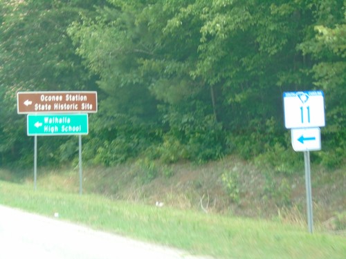
SC-183 North at SC-11 East
SC-183 North at SC-11 East to Oconee Station State Historic Park and Walhalla High School.
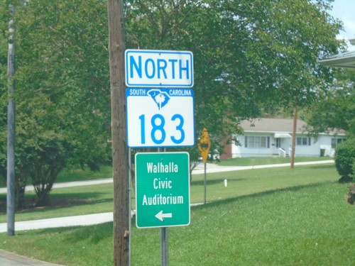
SC-183 North - Walhalla
SC-183 north in Walhalla. Turn left on North Broad St. for the Walhalla Civic Auditorium.
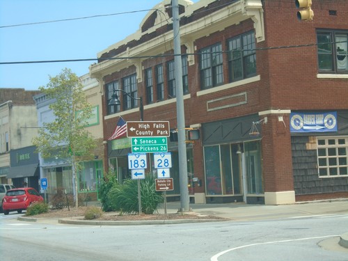
SC-28 South/SC-183 North at SC-28/SC-183 Split
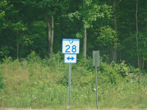
SC-28 South/SC-183 North at SC-28/SC-183 split in Walhalla. Turn left for SC-183 north to Pickens and High Rock State Park; continue straight for SC-28 south to Seneca.
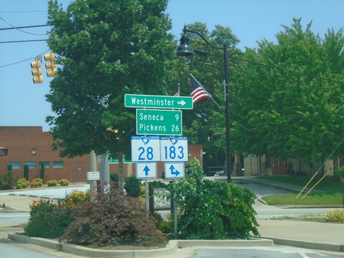
SC-28 South at SC-183 - Walhalla
SC-28 South at SC-183 in Walhalla. Turn left for SC-183 south to Westminster. Continue on SC-28 South/SC-183 North to Seneca (via SC-28) and Pickens (via SC-183).

Chattoga Ridge Road at Whetstone Road
Chattoga Ridge Road at Whetstone Road. Use Chattoga Ridge Road or Whetstone Road for SC-28. Use Whetstone Road south for Oconee State Park.
US-76 East - Chattooga River
Chattooga River on US-76 east. The Chattooga River is the boundary between Georgia and South Carolina.
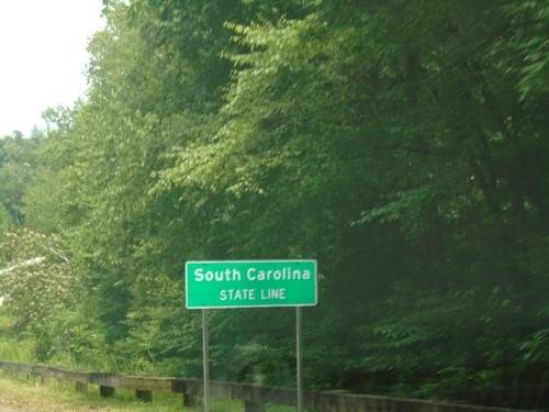
US-76 East - South Carolina
South Carolina State Line on US-76 east. Taken at the Georgia/South Carolina border.
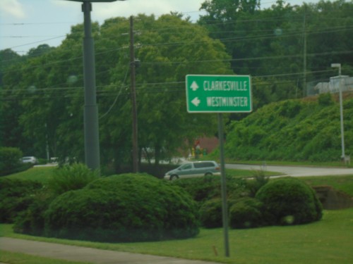
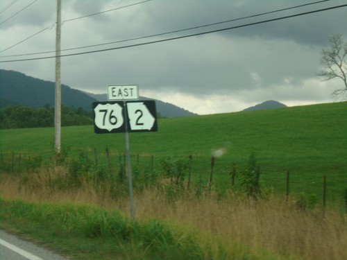
US-23/US-441/GA-15 South/US-76/GA-2 East at US-76/GA-2 Split
US-23/US-441/GA-15 South/US-76/GA-2 East at US-76/GA-2 Split in Clayton. Turn left for US-76/GA-2 East to Westminster (SC); continue south on US-441/US-23/GA-15 to Clarkesville.
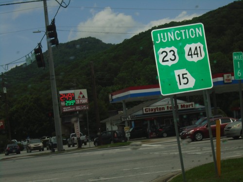
US-76/GA-2 East at US-23/US-441/GA-15 - Clayton
US-76/GA-2 East at US-23/US-441/GA-15 in Clayton. US-76/GA-2 East joins US-23/US-441/GA-15 South through Clayton.
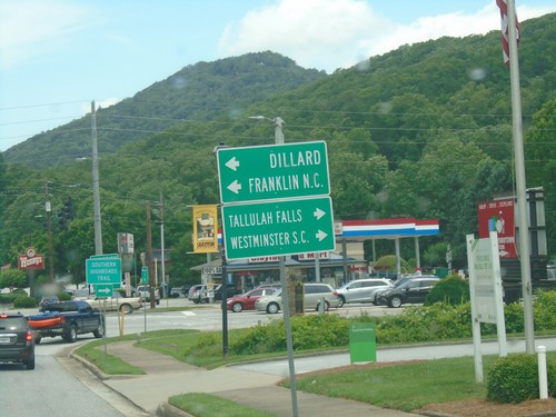
US-76/GA-2 East Approaching US-23/US-441/GA-15
US-76/GA-2 East Approaching US-23/US-441/GA-15 in Clayton. Use US-23/US-441/GA-15 north for Dillard and Franklin (NC). Use US-23/US-441/GA-15 South/US-76/GA-2 East to Tallulah Falls and Westminster (SC).
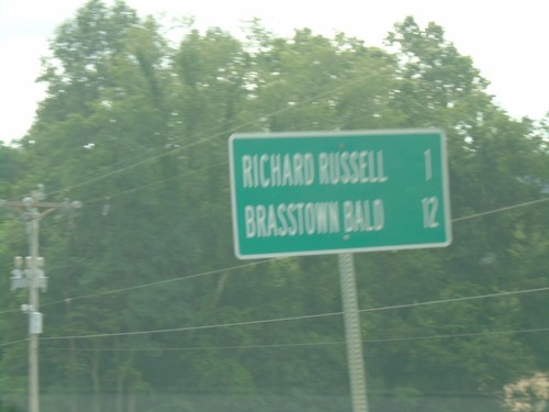
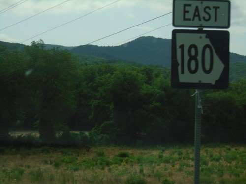
GA-180 East - Distance Marker
Distance marker on GA-180 east. Distance to Richard Russell and Brasstown Bald.
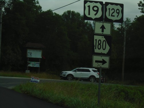
US-19/US-129/GA-11 North/GA-180 East at GA-180
US-19/US-129/GA-11 North/GA-180 East at GA-180 junction. Turn right to continue east on GA-180.
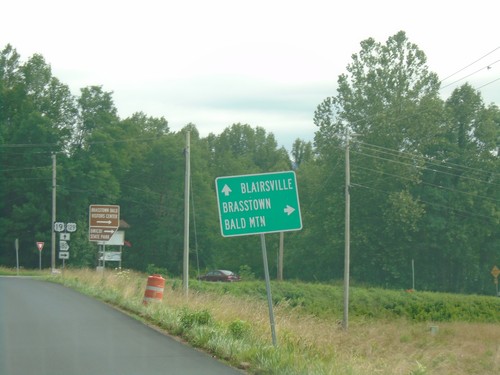
US-19/US-129/GA-11 North/GA-180 East Approaching GA-180
US-19/US-129/GA-11 North/GA-180 East approaching GA-180. Turn right to continue east on GA-180 towards Brasstown Bald. Continue straight for US-19/US-129/GA-11 North to Blairsville.
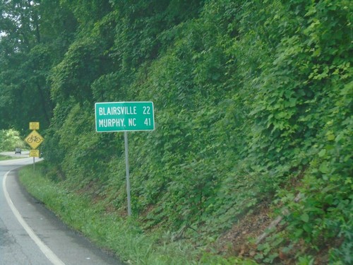
US-19/US-129/GA-11 North - Distance Marker
Distance maker on US-19/US-129/GA-11 north. Distance to Blairsville and Murphy (NC).
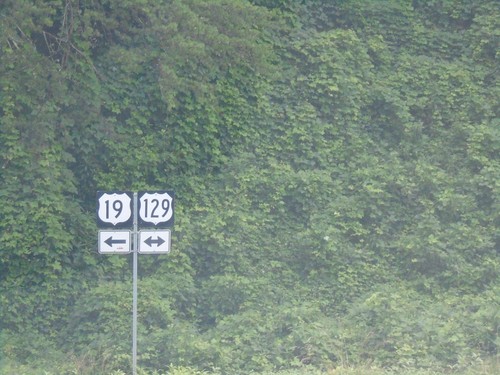
US-19/GA-9 North at US-129/GA-11 - Lumpkin County
US-19/GA-9 North at US-129 in Lumpkin County. Turn left for US-19/US-129/GA-11 North; right for US-129/GA-11 south. GA-9 north ends here.
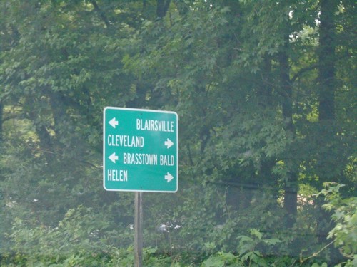
US-19/GA-9 North Approaching US-129/GA-11
US-19/GA-9 North approaching US-129/GA-11 in Lumpkin County. Turn left to continue north on US-19/US-129/GA-11 for Blairsville and Brasstown Bald; right for US-129/GA-11 south to Helen and Cleveland. GA-9 north ends here.
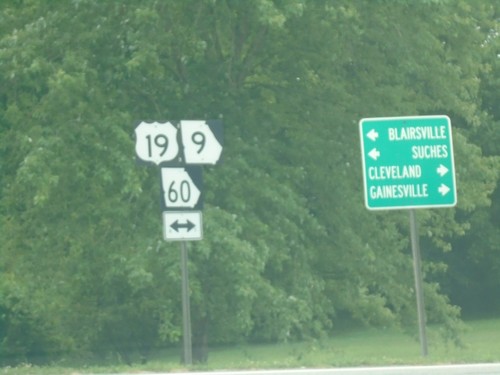
End Bus. US-19 at US-19/GA-60/GA-9 - Dahlonega
End Bus. US-19 at US-19/GA-60/GA-9 in Dahlonega. Turn right for US-19/GA-60/GA-9 South to Gainsville and Cleveland. Turn left for US-19/GA-60/GA-9 North to Blairsville and Suches.
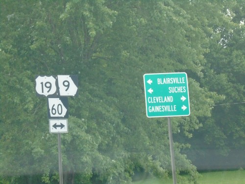
End Bus. US-19 at US-19/GA-60/GA-9 - Dahlonega
End Bus. US-19 at US-19/GA-60/GA-9 in Dahlonega. Turn right for US-19/GA-60/GA-9 South to Gainsville and Cleveland. Turn left for US-19/GA-60/GA-9 North to Blairsville and Suches.
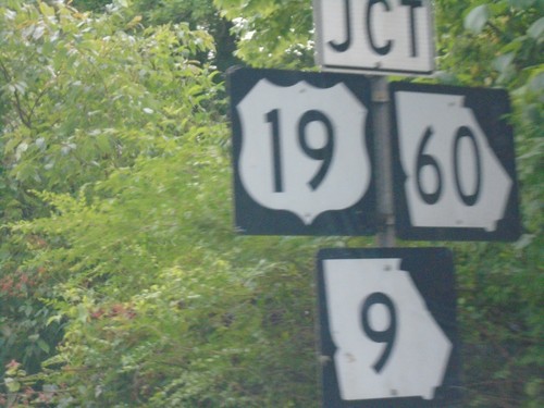
US-19/GA-60 North at GA-9 - Dahlonega
US-19/GA-60 North at GA-9 in Dahlonega. GA-9 north joins US-19/GA-60 north to Turners Corner.
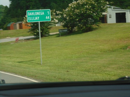
US-19/GA-60 North - Distance Marker
Distance Marker on US-19/GA-60 North. Distance to Dahlonega and Ellijay.
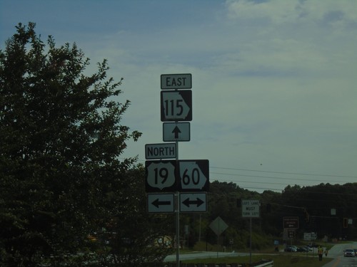
US-19/GA-400 North at GA-115 and GA-60
US-19/GA-400 North at GA-115 and GA-60 in Lumpkin County. GA-400 north ends here. Turn left for US-19 North/GA-60 North; right for GA-60 south. Continue straight for GA-115 East.
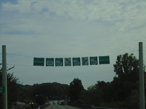
US-19 North/GA-400 North at GA-60 and GA-115
US-19 North/GA-400 North at GA-60 and GA-115. GA-400 north ends here. Turn left to continue on US-19 North and for GA-60 north to Dahlonega. Turn right for GA-60 south to Gainsville. Continue straight for GA-115.
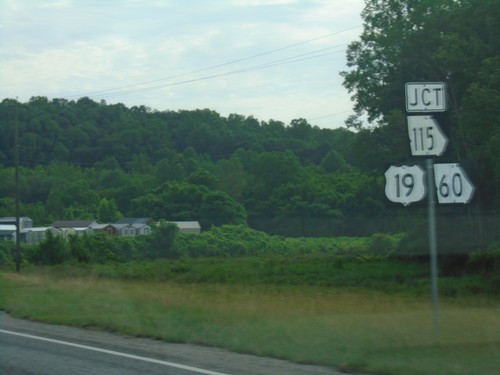
US-19 North/GA-400 North Approaching GA-115 and GA-60
US-19 North/GA-400 North approaching GA-115 and GA-60 in Lumpkin County. US-19 North joins GA-60 north through Dahlonega.
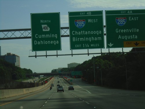
GA-400 North - Exits 4A and 4B
GA-400 North approaching Exit 4A and 4B. Exit 4A - I-285 East/Greenville (SC)/Augusta. Exit 4B - I-285 West/Chattanooga (TN)/Birmingham (AL). Continue north on GA-400 North for Dahlonega and Cumming.
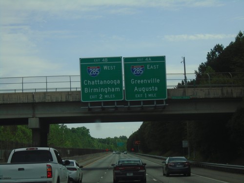
GA-400 North - Exits 4A and 4B
GA-400 north approaching Exits 4A and 4B. Exit 4A - I-285 East/Greenville (SC)/Augusta. Exit 4B - I-285 West/Chattanooga (TN)/Birmingham (AL).
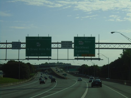
I-85 North - Exits 87 and 89
I-85 north at Exit 87 - GA-400 North/Cummings/Buckhead. Approaching Exit 89 - GA-42/N Druid Hills Road.
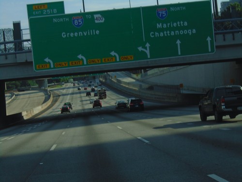
I-75/I-85 North - Exit 251B
I-75/I-85 north at I-75/I-85 Split - Exit 251B - I-85 North/To GA-400/Greenville (SC). Continue north on I-75 for Chattanooga (TN) and Marietta.
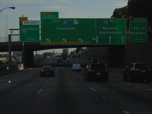
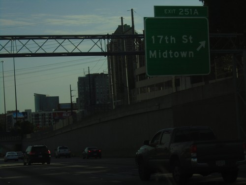
I-75/I-85 North Approaching Exits 251A and 251B
I-75/I-85 north approaching Exits 251A and 251B (I-85/I-75 split). Exit 251A - 17th St./Midtown; Exit 251B - I-85 North/To GA-400/Greenville (SC). Approaching HOV exit for I-75 north.
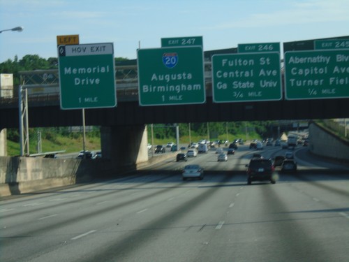
I-75 North/I-85 North - Exits 245, 246, and 247
I-75 North/I-85 North in Atlanta. Exit 245 - Abernathy Blvd./Capitol Ave./Turner Field. Exit 246 - Fulton St./Central Ave./Georgia State University. Exit 247 - I-20/Augusta/Birmingham (AL). Approaching HOV lane exit for Memorial Drive.
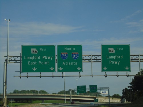
Northbound Ramp from I-85 to GA-166
Northbound Ramp from I-85 to GA-166. Use right lanes for GA-166 East/Langford Parkway; use left lanes for GA-166 West/Langford Parkway/East Point. Continue in center lanes for I-75 North/I-85 North/Atlanta.
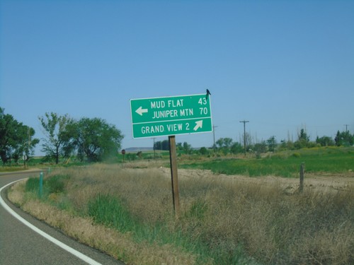
ID-78 West at Mud Flat Road
ID-78 west at Mud Flat Road to Mud Flat and Juniper Mountain. Continue west on ID-78 for Grand View.
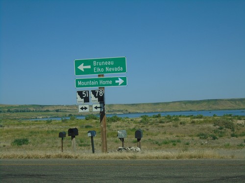
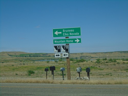
ID-78 West at ID-51
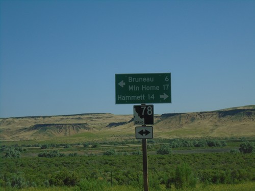
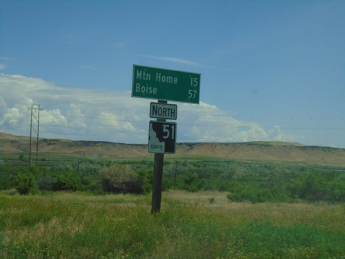
ID-78 west at ID-51. Use ID-51 north for Mountain Home. Use ID-51 South/ID-78 West for Bruneau and Elko, Nevada.
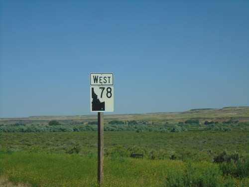
ID-78 West - Owyhee County
ID-78 west in Owyhee County. The ID-78 shield here is the new style of shields used on guide signs that have been appearing around the state. It appears the incorrect type of state highway shield was used here.
