Javascript Is Required To Use This Page

Signs From August 2019
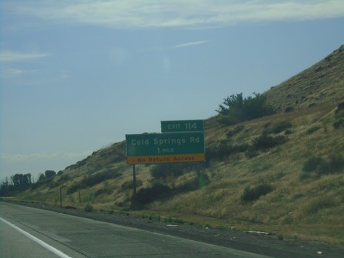
I-84 West - Exit 114

I-84 West - Exit 114

I-84 west approaching Exit 114 - Cold Springs Road.

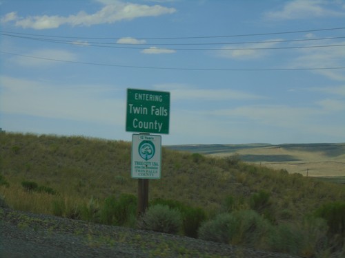
US-93 North - Entering Twin Falls County

US-93 North - Entering Twin Falls County

Entering Twin Falls County on US-93 north. Taken just north of the Idaho-Nevada line.
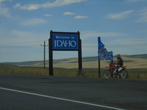
US-93 North - Welcome To Idaho

US-93 North - Welcome To Idaho

Welcome to Idaho on US-93 north.

US-93 North at BL-80 and NV-233

US-93 North at BL-80 and NV-233

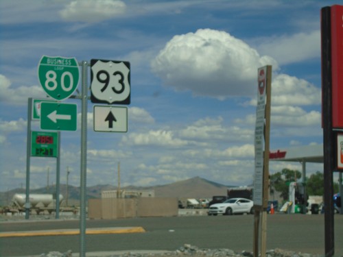
US-93 North at BL-80 and NV-233 (unsigned).

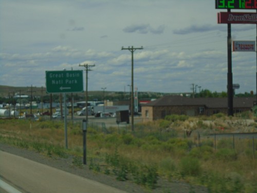
I-80 West - Exit 352A Offramp

I-80 West - Exit 352A Offramp

I-80 West - Exit 352A Offramp. Turn right on US-93 South for Great Basin National Park.
I-80 West - Exit 352A

I-80 West - Exit 352A

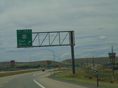
I-80 west at Exit 352A - US-93/East Wells.

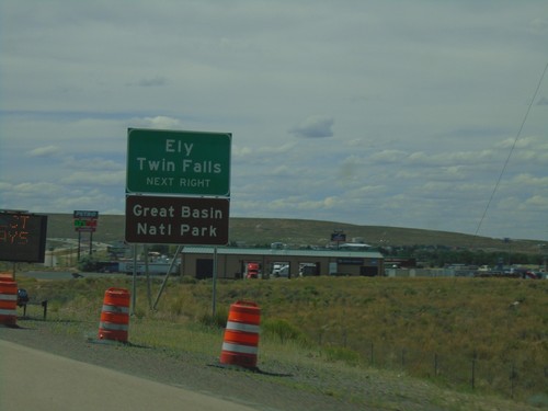
I-80 West - Exit 352A

I-80 West - Exit 352A

I-80 west approaching Exit 352A. Use Exit 352A (US-93) for Ely, Twin Falls (Idaho), and Great Basin National Park.
I-80 West - Exit 352B

I-80 West - Exit 352B

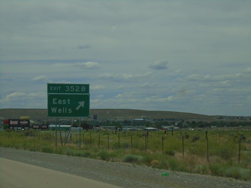
I-80 west at Exit 352B - East Wells.

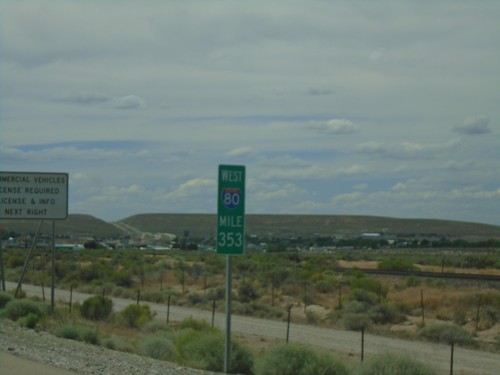
I-80 West - Mile 353

I-80 West - Mile 353

I-80 West - Mile 353. These types of mileposts with the route shield have been showing up more and more in Nevada recently.
I-80 West - Exit 352B

I-80 West - Exit 352B

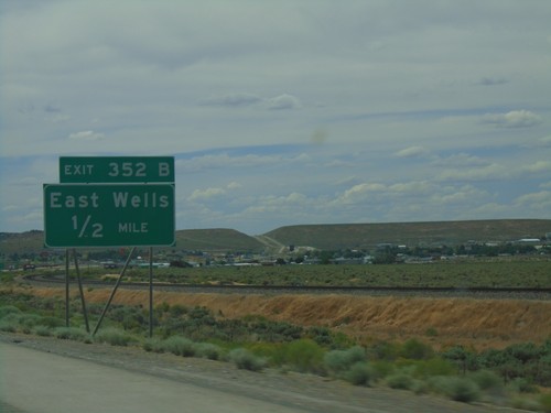
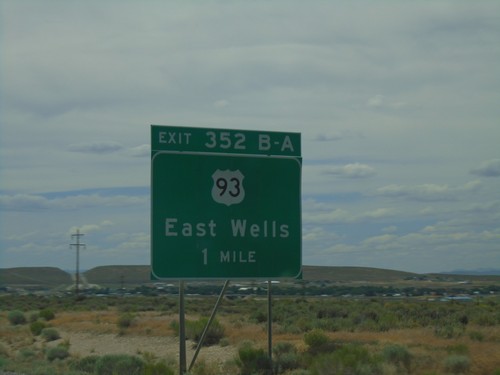
I-80 west approaching Exit 352A - East Wells.

I-80 West - Exits 352B-A

I-80 West - Exits 352B-A

I-80 west approaching Exits 352B-A - US-93/East Wells.

I-80 West - Exits 352A-B

I-80 West - Exits 352A-B

I-80 west approaching Exits 352A-B - US-93/East Wells.

I-80 West - Wells Next 3 Exits

I-80 West - Wells Next 3 Exits

I-80 west approaching Wells. Use next 3 exits for Wells.

I-80 West - Exit 360

I-80 West - Exit 360

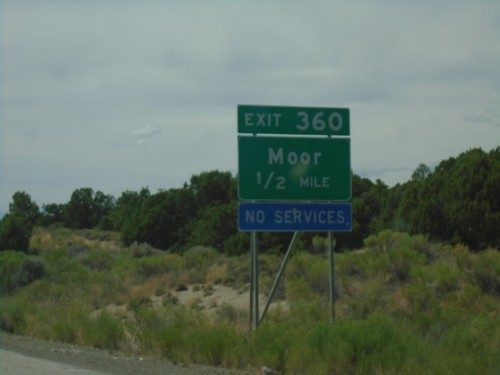
I-80 west approaching Exit 360 - Moor.

I-80 West - Exit 365

I-80 West - Exit 365

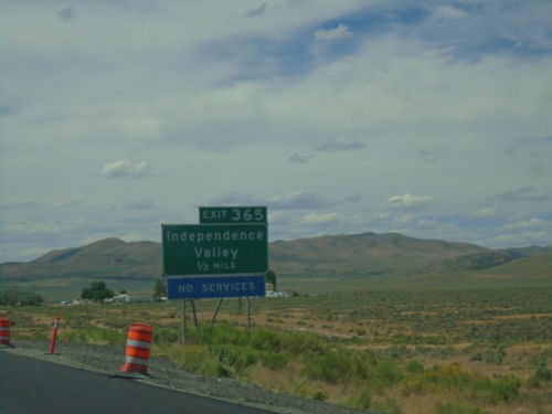
I-80 west approaching Exit 365 - Independence Valley.

I-80 West - Exit 373

I-80 West - Exit 373

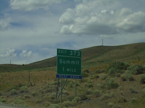
I-80 west approaching Exit 373 - Summit.

I-80 West - Exit 376

I-80 West - Exit 376

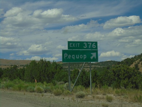
I-80 west at Exit 376 - Pequop.

I-80 West - Exit 378

I-80 West - Exit 378

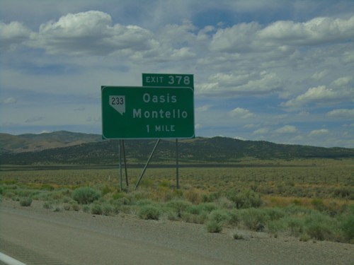
I-80 west approaching Exit 378 - NV-233/Oasis/Montello.

I-80 West - Exit 387

I-80 West - Exit 387

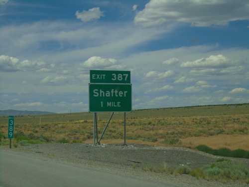
I-80 west approaching Exit 387 - Shafter. Taken at Milemarker 389.

I-80 West - Silver Zone Pass

I-80 West - Silver Zone Pass

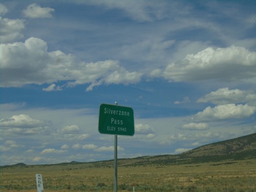
I-80 west at Silver Zone Pass. Elevation 5940 Feet.

I-80 West - Exit 398

I-80 West - Exit 398

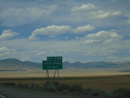
I-80 west approaching Exit 398 - Pilot Peak.

I-80 West - Exit 407

I-80 West - Exit 407

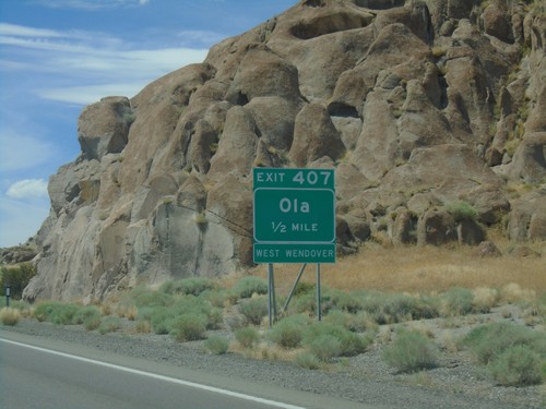
I-80 west approaching Exit 407 - Ola. Use Exit 407 for access to West Wendover.

I-80 West - Distance Marker

I-80 West - Distance Marker

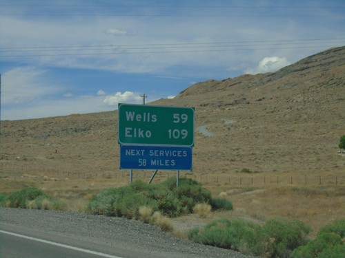
I-80 west at first distance marker in Nevada westbound. Distance to Wells and Elko. Next services 58 miles.
I-80 West - Exit 41

I-80 West - Exit 41

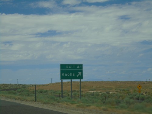
I-80 west at Exit 41 - Knolls. The next exit westbound on I-80 is 37 miles. This is the eastern edge of the salt flats along I-80.
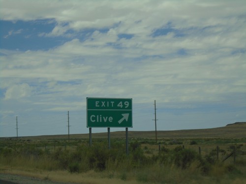
I-80 West - Exit 49

I-80 West - Exit 49

I-80 west at Exit 49 - Clive.

I-80 West - Distance Marker

I-80 West - Distance Marker

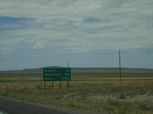
Distance marker on I-80 west. Distance to Knolls, Wendover, and Reno (NV).
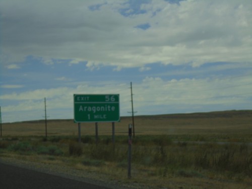
I-80 West - Exit 56

I-80 West - Exit 56

I-80 west approaching Exit 56 - Aragonite.

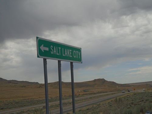
County Road at I-80 East (Exit 62)

County Road at I-80 East (Exit 62)

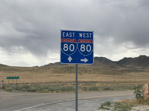
County Road at I-80 East (Exit 62) to Salt Lake City.

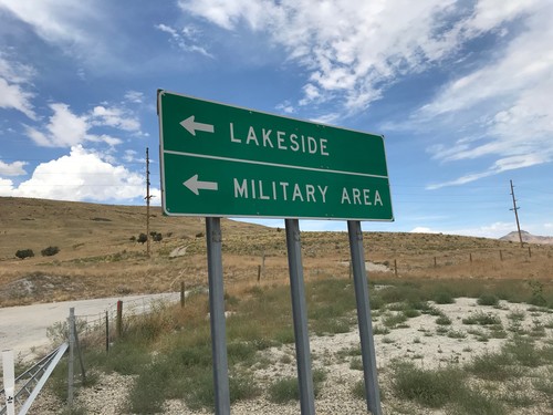
Overpass at I-80 (Exit 62)

Overpass at I-80 (Exit 62)

Overpass at I-80 (Exit 62) - Turn left for Military Area/Lakeside.

County Road at I-80 (Exit 62)

County Road at I-80 (Exit 62)

County Road at I-80 (Exit 62) in Tooele County.

I-80 West - Exit 62

I-80 West - Exit 62

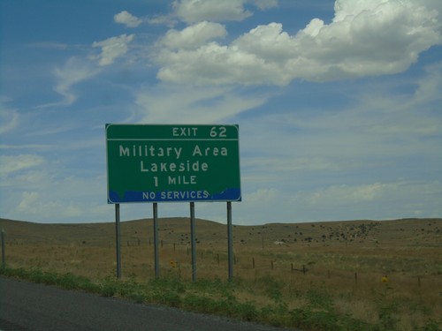
I-80 west approaching Exit 62 - Military Area/Lakeside.

I-80 West - Exit 77

I-80 West - Exit 77

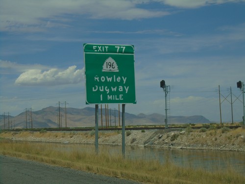
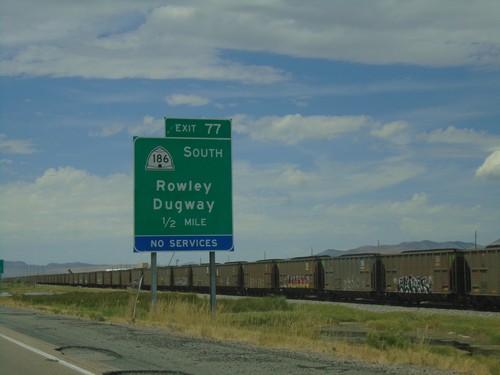
I-80 west approaching Exit 77 - UT-196 South/Rowley/Dugway. The shield is incorrectly labeled as UT-186.
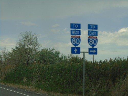
I-80 West - Exit 77

I-80 West - Exit 77

I-80 west approaching Exit 77 - UT-196/Rowley/Dugway.

I-80 West - Exit 84

I-80 West - Exit 84

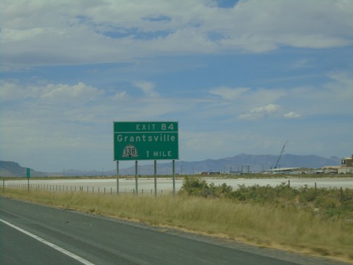
I-80 west approaching Exit 84 - UT-138/Grantsville.

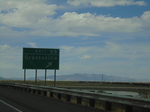
I-80 West - Exit 88

I-80 West - Exit 88

I-80 west at Exit 88 - Grantsville.

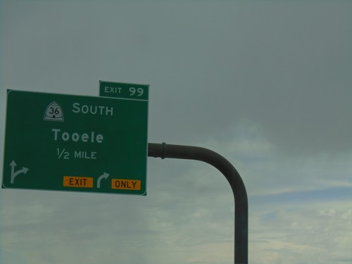
I-80 West - Exit 99

I-80 West - Exit 99

I-80 west approaching Exit 99 - UT-36 South/Tooele.

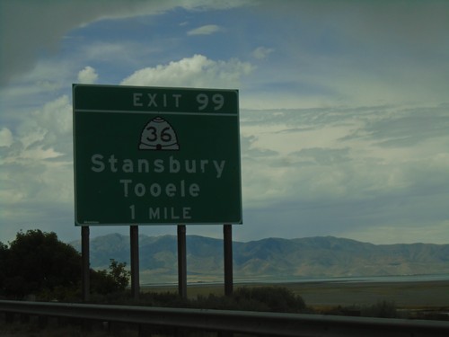
I-80 West - Exit 99

I-80 West - Exit 99

I-80 west approaching Exit 99 - UT-36/Grantsville/Tooele.

UT-201 West at UT-201 North

UT-201 West at UT-201 North

UT-201 West at UT-201 North in Salt Lake County.

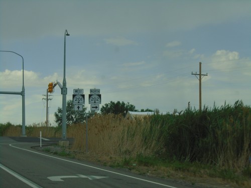
UT-201 West Approaching UT-202

UT-201 West Approaching UT-202

UT-201 West approaching UT-202. Use UT-202 north for I-80 East; use UT-201 west for I-80 West.
UT-201 West at UT-111 South

UT-201 West at UT-111 South

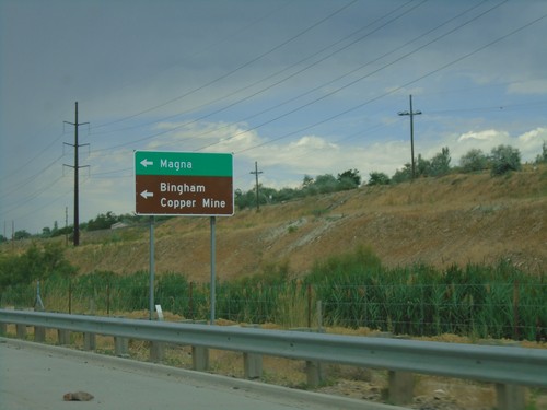
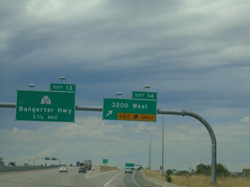
UT-201 West at UT-111 South to Bingham Copper Mine and Magna.

UT-201 West Approaching UT-111

UT-201 West Approaching UT-111

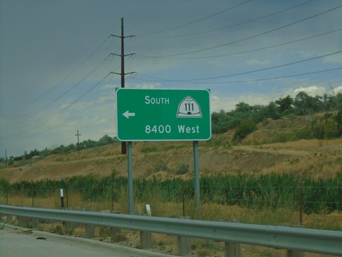
UT-201 West approaching UT-111 South/8400 West.

UT-201 West - 8000 West

UT-201 West - 8000 West

UT-201 West approaching 8000 West

UT-201 West - Salt Lake County

UT-201 West - Salt Lake County

UT-201 West in Salt Lake County

UT-201 West - 7200 West

UT-201 West - 7200 West

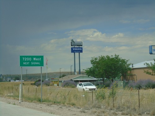
UT-201 west approaching 7200 West.

UT-201 West - End Freeway

UT-201 West - End Freeway

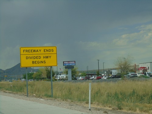
Freeway Ends/Divided Highway Begins on UT-201 west.

UT-201 West - Exit 12

UT-201 West - Exit 12

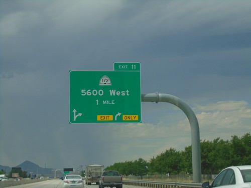
UT-201 west approaching Exit 12 - UT-172/5600 West.

UT-201 West - Exits 14 and 13

UT-201 West - Exits 14 and 13

UT-201 west at Exit 14 - 3200 West. Approaching Exit 13 - UT-154/Bangerter Highway.
UT-201 West - Exits 15A and 14

UT-201 West - Exits 15A and 14

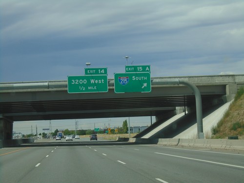
UT-201 west at Exit 15A - I-215 South. Approaching Exit 14 - 3200 West.
UT-201 West - Exits 15C-A

UT-201 West - Exits 15C-A

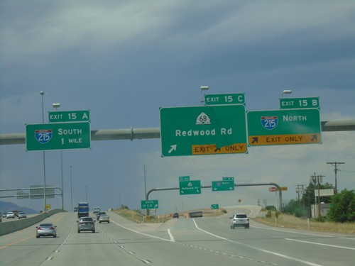
UT-201 west at Exit 15C - UT-68/Redwood Road and Exit 15B - I-215 North. Approaching Exit 15A - I-215 South.
UT-201 West - Exits 15 C-B

UT-201 West - Exits 15 C-B

UT-201 west approaching Exits 15 C-B - I-215 North/UT-68/Redwood Road.

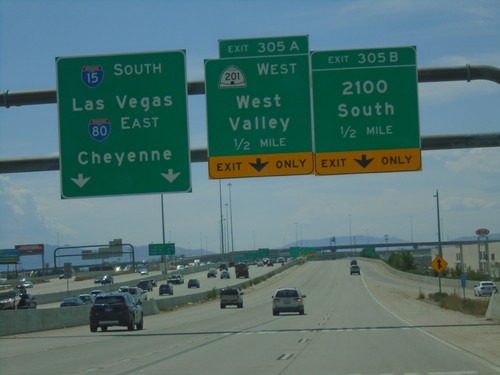
I-15 South/I-80 East Ramps at Exit 305A-B

I-15 South/I-80 East Ramps at Exit 305A-B

I-15 South/I-80 East Exit 305 A-C ramps at Exit 305A-B. Use Exit 305B - 2100 South; Exit 305A - UT-201 West/West Valley. Use left lanes for I-80 East/Cheyenne(WY)/I-15 South/Las Vegas(NV).
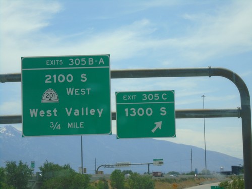
I-80 East/I-15 South - Exits 305 A-C

I-80 East/I-15 South - Exits 305 A-C

I-80 East/I-15 South Exits 305 A-C ramps at Exit 305C - 1300 South. Continue on ramp for Exits 305B-A - UT-201 West/2100 S/West Valley.
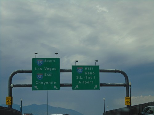
End UT-269 at I-15/I-80

End UT-269 at I-15/I-80

End UT-269 (W 600 S) at I-15/I-80 onramp. Merge right for I-80 West/S.L. Intl. Airport/Reno (NV); merge left for I-15 South/Las Vegas(NV)/I-80 East/Cheyenne(WY).
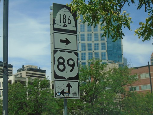
UT-186 West at US-89

UT-186 West at US-89

UT-186 West (W 400 S) at US-89 (State St.) in Salt Lake City. Turn right to continue west on UT-186; continue straight for north US-89.
UT-186 West Approaching US-89

UT-186 West Approaching US-89

UT-186 West (W 400 S) approaching US-89 (State St.).

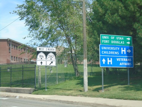
UT-186 West (Foothill Drive) at UT-282

UT-186 West (Foothill Drive) at UT-282

UT-186 West (Foothill Drive) at UT-282 to University of Utah, Fort Douglas, and the University Childrens Hospital. Continue on Foothill Drive for the Veterans Administration Hospital.
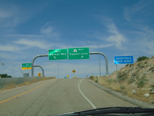
I-80 West Exit 129 Offramp

I-80 West Exit 129 Offramp

I-80 West Exit 129 offramp at UT-186. Use right lane for UT-186 West/Foothill Rive. Use left lane for West Parleys Way.
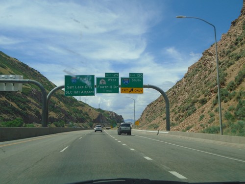
I-80 West - Exit 129

I-80 West - Exit 129

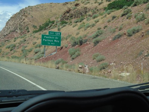
I-80 West approaching Exit 129 - Foothill Drive/Parleys Way.

I-80 West - Exits 130 and 129

I-80 West - Exits 130 and 129

I-80 west at Exit 130 - I-215 South. Approaching Exit 129 - UT-186/Foothill Drive. Continue west on I-80 for Salt Lake City/SLC International Airport.
I-80 West - Exit 131

I-80 West - Exit 131

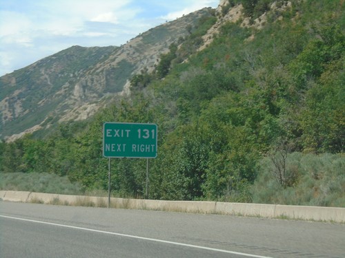
I-80 west approaching Exit 131.

I-80 West - Distance Marker

I-80 West - Distance Marker

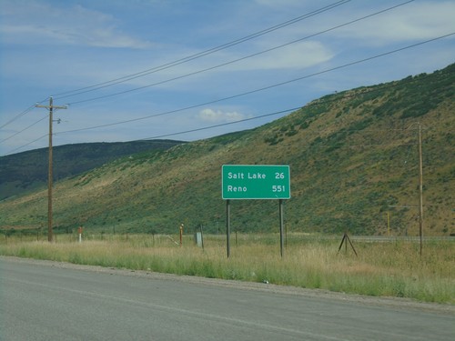
Distance marker on I-80 west. Distance to Salt Lake and Reno (Nevada).

US-40 West/US-189 North - Summit County

US-40 West/US-189 North - Summit County

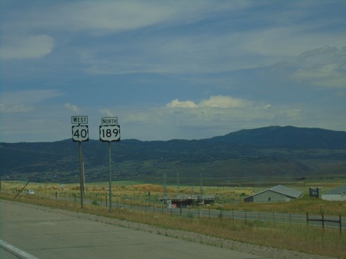
US-40 West/US-189 North in Summit County

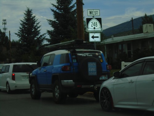
UT-248 West at US-40

UT-248 West at US-40

UT-248 West at US-40 (Exit 4) in Summit County.

UT-248 West at US-40

UT-248 West at US-40

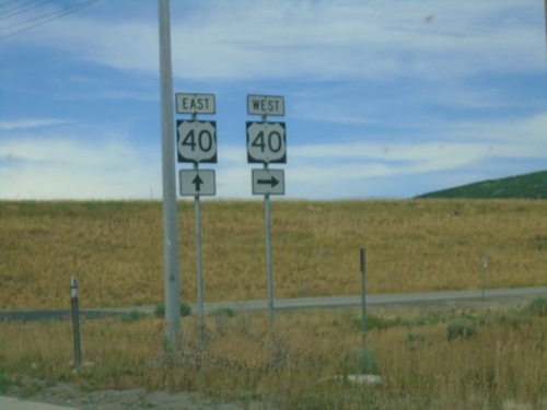
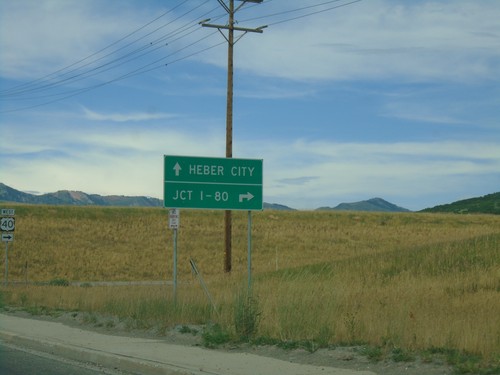
UT-248 West at US-40 in Summit County. Use US-40 west for Jct. I-80; US-40 east for Heber City.
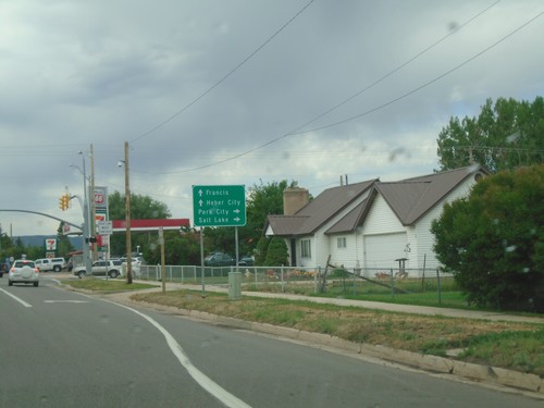
UT-248 West - Summit County

UT-248 West - Summit County

Summit County on UT-248 west.

UT-32 North at UT-248

UT-32 North at UT-248

UT-32 north at UT-248 west in Kamas.

UT-32 East Approaching UT-248 South

UT-32 East Approaching UT-248 South

UT-32 south approaching UT-248. Use UT-248 for Park City and Salt Lake. Continue south on UT-32 for Heber City and Francis.
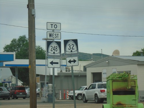
End UT-150 West at UT-32/To UT-248

End UT-150 West at UT-32/To UT-248

End UT-150 West at UT-32/To UT-248 in Kamas. Turn left for UT-32 South to UT-248.
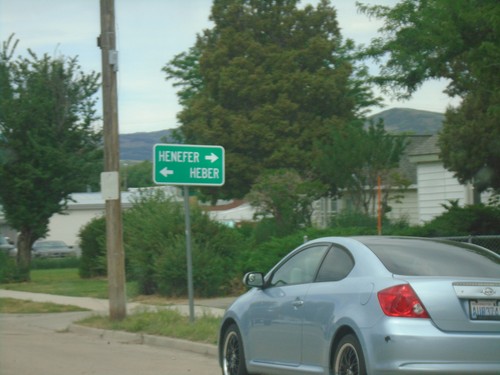
End UT-150 West at UT-32

End UT-150 West at UT-32

End UT-150 West at UT-32 in Kamas. Use UT-32 north for Henefer; UT-32 south for Heber.
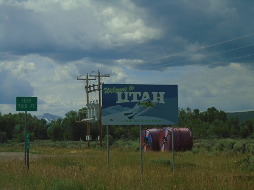
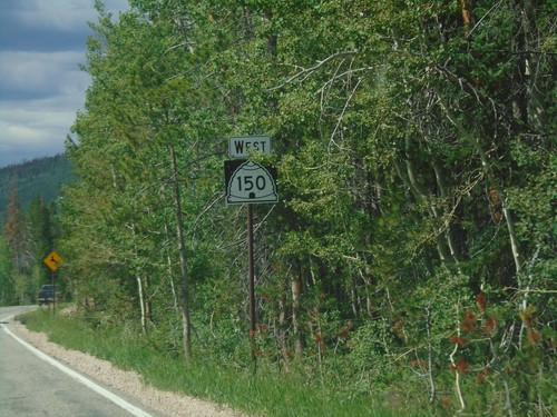
UT-150 West - Summit County

UT-150 West - Summit County

UT-150 West in Summit County

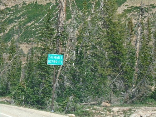
UT-150 South - Bald Mountain Pass

UT-150 South - Bald Mountain Pass

UT-150 South on (Bald Mountain Pass) Elevation 10,759 Feet.

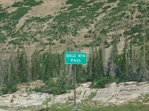
UT-150 South - Bald Mountain Pass

UT-150 South - Bald Mountain Pass

Bald Mountain Pass in the Uinta Mountains (10,715 Feet)

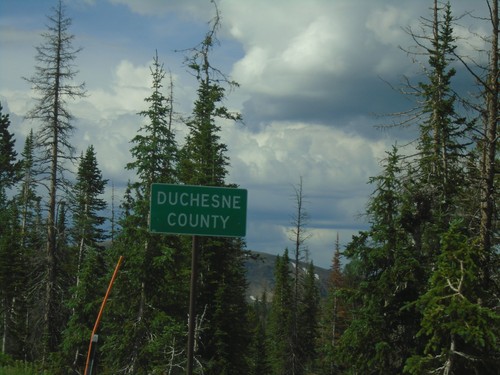
UT-150 South - Duchesne County

UT-150 South - Duchesne County

Duchesne County on UT-150 south. Taken at Hayden Pass.

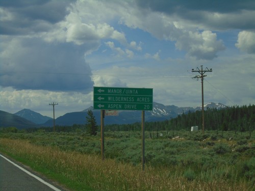
UT-150 South at Aspen Drive

UT-150 South at Aspen Drive

UT-150 south at Aspen Drive/Manor/Uinta/Wilderness Acres.

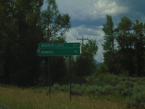
UT-150 South - Distance Marker

UT-150 South - Distance Marker

Distance marker on UT-150 south. Distance to Mirror Lake and Kamas.

UT-150 South - Welcome To Utah

UT-150 South - Welcome To Utah

Welcome To Utah on UT-150 South. Elevation 7810 Feet. The mile marker of 23.56 is from Wyoming WY-150.
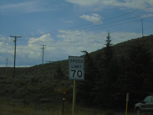
WY-150 South - Speed Limit 70 MPH

WY-150 South - Speed Limit 70 MPH

Speed Limit 70 MPH on WY-150 South

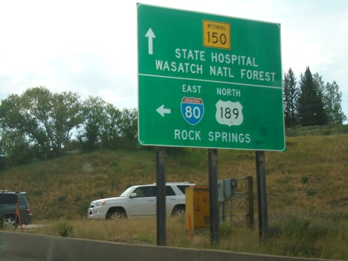
End WY-89 South at I-80 East and WY-150 South

End WY-89 South at I-80 East and WY-150 South

End WY-89 South at I-80 East and WY-150 South in Evanston. Turn left for I-80 East/US-89 North/Rock Springs. Continue south on WY-150 for (Wyoming) State Hospital and Wasatch National Forest.
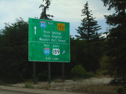
End WY-89 South at I-80/US-189/WY-150

End WY-89 South at I-80/US-189/WY-150

End WY-89 South at I-80/US-189/WY-150 in Evanston. Turn right for I-80 West/US-189 South/Salt Lake (Utah). Continue under the freeway for I-80 East/US-189 North/Rock Springs and WY-150 South/Wasatch National Forest/(Wyoming)State Hospital.
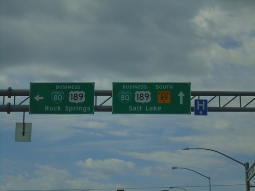
WY-89 South at BL-80/Bus. US-189

WY-89 South at BL-80/Bus. US-189

WY-89 South at BL-80/Bus. US-189. Turn left for BL-80/Bus. US-189 to Rock Springs. Continue straight for WY-89 South/BL-80/Bus. US-189 to Salt Lake.
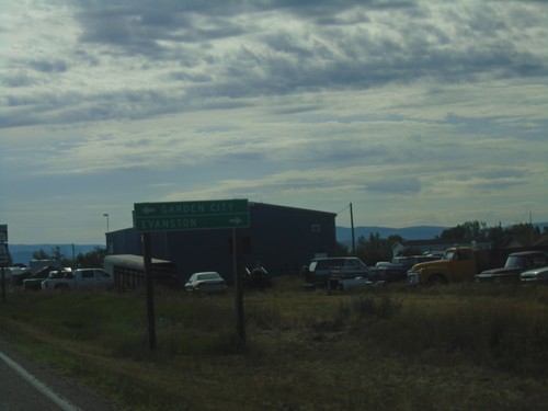
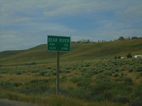
WY-89 South - Bear River

WY-89 South - Bear River

Entering Bear River on WY-89 South.

WY-89 South - Welcome To Wyoming

WY-89 South - Welcome To Wyoming

Welcome to Wyoming on WY-89 south.

UT-16 South - Distance Marker

UT-16 South - Distance Marker

Distance marker on UT-16 south. Distance to Evanston (WY).

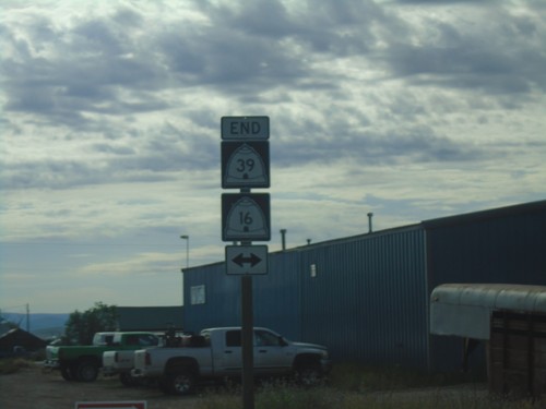
End UT-39 East at UT-16

End UT-39 East at UT-16

End UT-39 East at UT-16 in Woodruff.

End UT-39 East at UT-16

End UT-39 East at UT-16

End UT-39 East at UT-16 in Woodruff. Use UT-16 North for Garden City; UT-16 South for Evanston (WY).
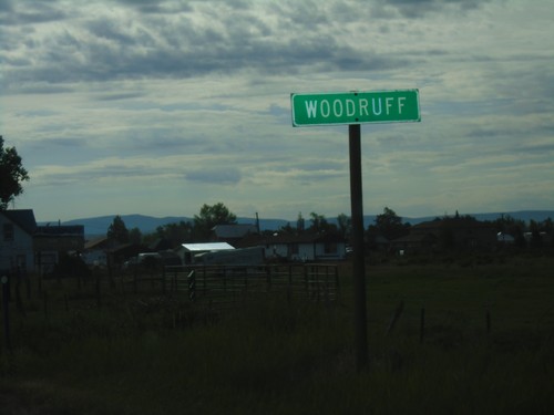
UT-39 East - Woodruff

UT-39 East - Woodruff

Entering Woodruff on UT-39 east.

UT-39 East - Rich County

UT-39 East - Rich County

Rich County on UT-39 east.

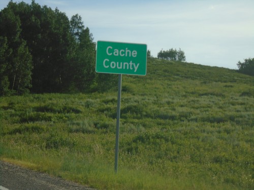
UT-39 East - Cache County

UT-39 East - Cache County

Cache County on UT-39 east.

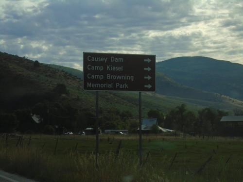
UT-39 - Recreation Areas

UT-39 - Recreation Areas

UT-39 (S 7800 East) at E 100 South. Turn right to continue east on UT-39 for Causey Dam, Camp Kiesel, Camp Browning, and Memorial Park.
UT-39 Junction in Huntsville

UT-39 Junction in Huntsville

UT-39 (S 7800 East) at E 100 South. Turn right to continue east on UT-39.
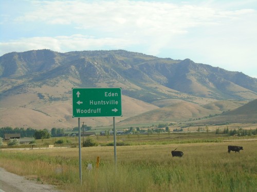
UT-39 - Huntsville

UT-39 - Huntsville

UT-39 (N 7800 East) at E 100 South. Turn left on E 100 South for Huntsville; continue straight on N 7800 East for Eden. Turn right to continue east on UT-39 towards Woodruff.
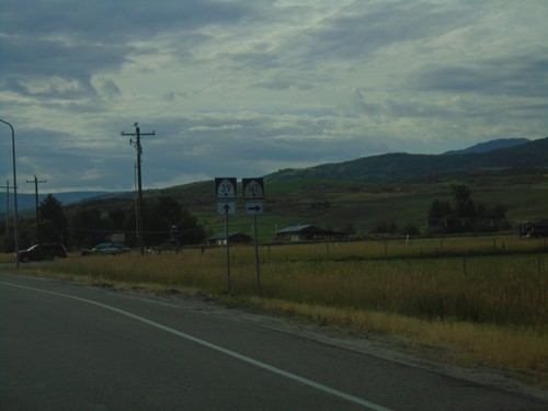
UT-39 East At UT-167 South

UT-39 East At UT-167 South

UT-39 East at UT-167 South in Weber County.

UT-39 East Approaching UT-167

UT-39 East Approaching UT-167

UT-39 East approaching UT-167 in Weber County. Turn right for UT-167 South to Mountain Green. Continue east on UT-39 for Huntsville.
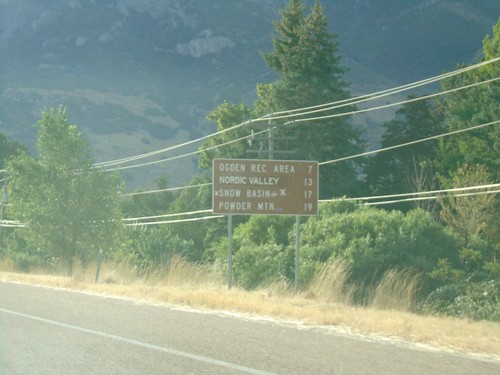
UT-39 East - Ski Areas

UT-39 East - Ski Areas

Distance to Ski Areas on UT-39 East. Distance to Ogden Recreation Area, Nordic Valley, Snow Basin, and Powder Mountain.
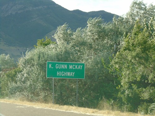
UT-39 East - K. Gunn McKay Highway

UT-39 East - K. Gunn McKay Highway

UT-39 East is called K. Gunn McKay Highway through Ogden Canyon up to Huntsville.
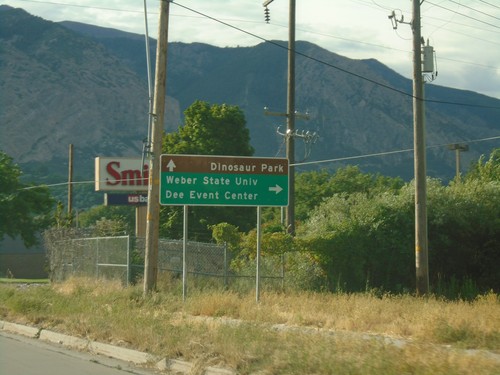
UT-39 East At UT-203

UT-39 East At UT-203

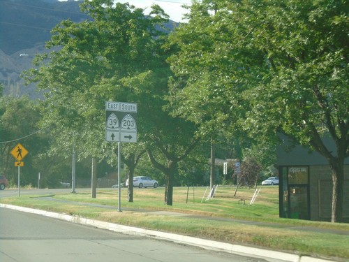
UT-39 East at UT-203 in Ogden.

UT-39 East Approaching UT-203

UT-39 East Approaching UT-203

UT-39 East approaching UT-203 in Ogden. Turn right on UT-203 for Weber State University and Dee Event Center. Continue east on UT-39 for Dinosaur Park.
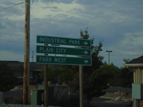
US-89 South at UT-39

US-89 South at UT-39

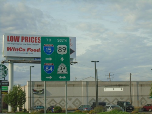
US-89 South at UT-39 in Ogden. Use UT-39 west for I-84 and I-15.

US-89 South at UT-134

US-89 South at UT-134

US-89 South at UT-134. Use UT-134 west for Industrial Park, Farr West, and Plain City.
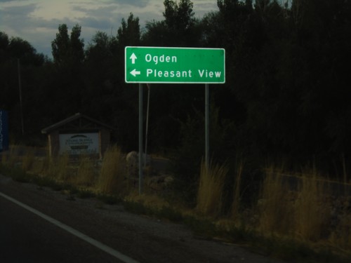
US-89 South at Pleasant View Drive

US-89 South at Pleasant View Drive

US-89 South at Pleasant View Drive. Turn left for Pleasant View; continue south on US-89 for Ogden.
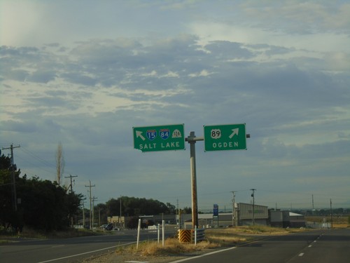
US-89 South - Weber County

US-89 South - Weber County

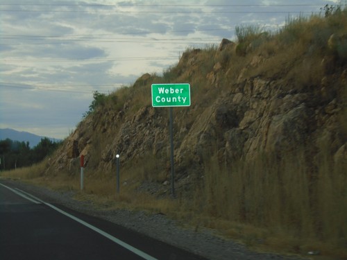
Weber County on US-89 south.

US-89 South at UT-126

US-89 South at UT-126

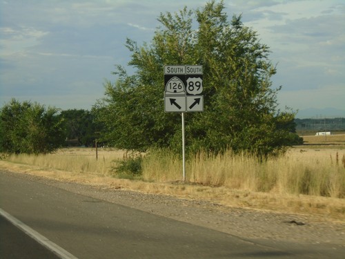
US-89 South at UT-126/To I-84/To I-15/Salt Lake. Merge right to continue south on US-89 for Ogden.
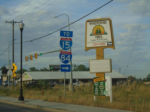
US-89 South Approaching UT-126

US-89 South Approaching UT-126

US-89 South approaching UT-126.

US-89 South at UT-315

US-89 South at UT-315

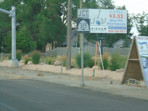
US-89 South at UT-315/To I-15/To I-84 in Willard.

US-89 South Approaching UT-315

US-89 South Approaching UT-315

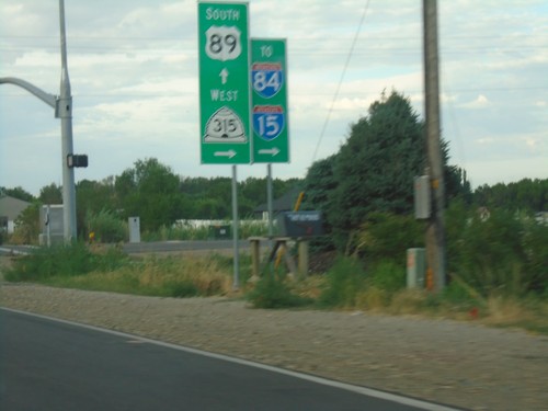
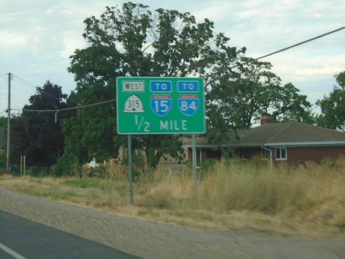
US-89 South approaching UT-315 in Willard.

US-89 South Approaching UT-315

US-89 South Approaching UT-315

US-89 South approaching UT-315/To I-84/To-15.

US-89 South - Brigham City

US-89 South - Brigham City

US-89 south in Brigham City.

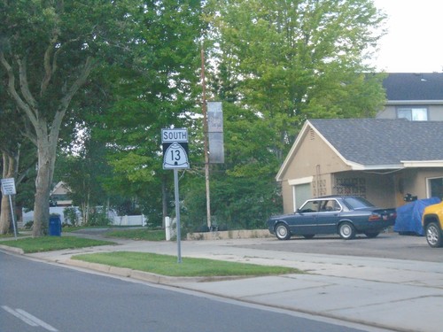
End UT-13 South at US-89/US-91

End UT-13 South at US-89/US-91

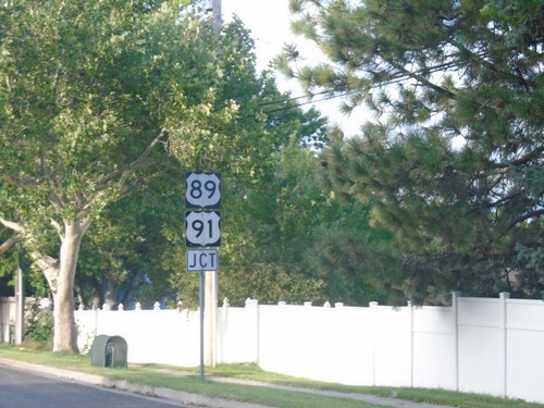
End UT-13 South at US-89/US-91. Use US-91 South/US-89 North for access to I-15 and I-84.
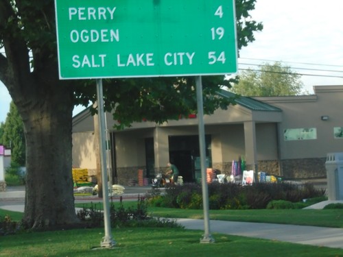
End UT-13 South Approaching US-89/US-91

End UT-13 South Approaching US-89/US-91

End UT-13 South approaching US-89/US-91 in Brigham city.

UT-13 South - Distance Marker

UT-13 South - Distance Marker

Distance marker on UT-13 south. Distance to Perry, Ogden, and Salt Lake City.
UT-13 South at UT-90

UT-13 South at UT-90

UT-13 South at UT-90 east to Logan. Continue south on UT-13 for Salt Lake City.

UT-13 South - Brigham City

UT-13 South - Brigham City

UT-13 South in Brigham City

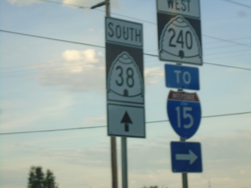
UT-38 South at UT-240 in Honeyville

UT-38 South at UT-240 in Honeyville

UT-38 South at UT-240 in Honeyville. Turn right for UT-240 West and for I-15 access.
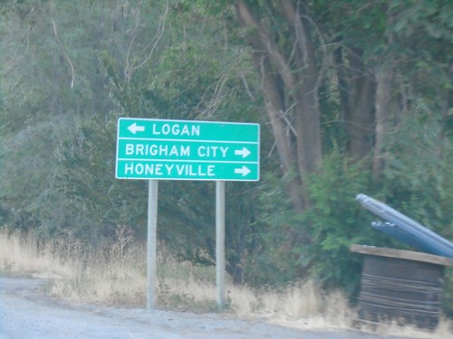
End UT-102 East at UT-38

End UT-102 East at UT-38

End UT-102 East at UT-38 in Deweyvile. Turn right for UT-38 south to Brigham City and Honeyville; left for UT-38 north to Logan.
UT-102 East - Distance Marker

UT-102 East - Distance Marker

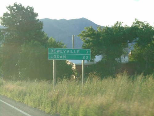
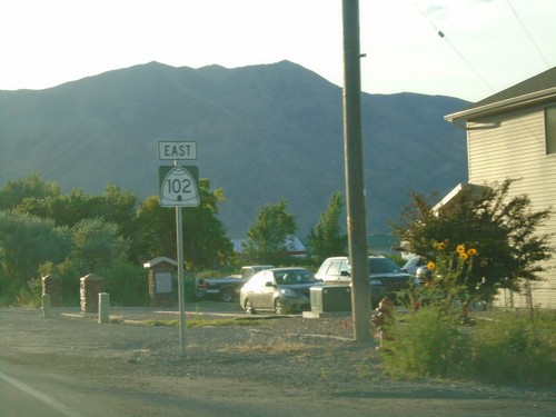
Distance marker on UT-102 East. Distance to Deweyville, and Logan.
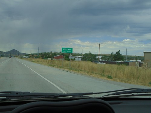
UT-102 East - Tremonton

UT-102 East - Tremonton

UT-102 East in Tremonton

UT-102 East Approaching UT-13

UT-102 East Approaching UT-13

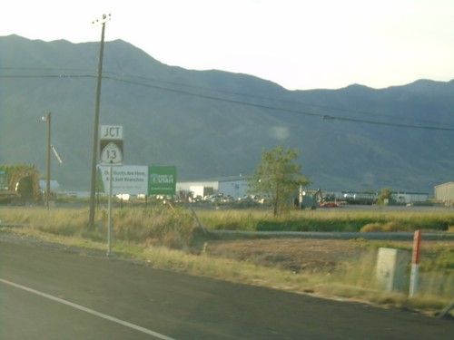
UT-102 East approaching UT-13 in Tremonton.
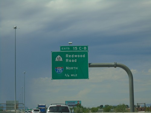
UT-102 East Approaching UT-13

UT-102 East Approaching UT-13

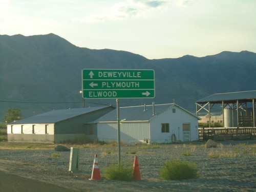
UT-102 East approaching UT-13 in Tremonton. Use UT-13 South for Elwood; UT-13 North for Plymouth; UT-102 East for Deweyville.
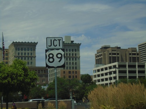
UT-102 West Approaching I-84

UT-102 West Approaching I-84

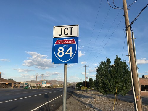
UT-102 West approaching I-84 (Exit 40) in Tremonton.