Javascript Is Required To Use This Page

Signs From September 2019
ID-51 North - Distance Marker

ID-51 North - Distance Marker

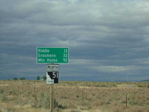
Distance marker on ID-51 north. Distance to Riddle, Grasmere, and Mountain Home. This is the first shield and distance marker along ID-51 after the stateline.
Welcome To Idaho - ID-51 North

Welcome To Idaho - ID-51 North

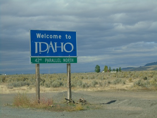
Welcome to Idaho on ID-51 north at the Idaho-Nevada state line. 42nd Parallel North.
NV-225 North - Distance Marker

NV-225 North - Distance Marker

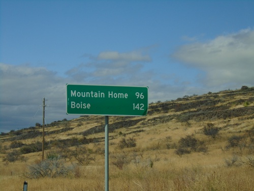
Distance marker on NV-225 north. Distance to Mountain Home (Idaho) and Boise (Idaho). This is the last distance marker northbound on NV-225 in Nevada.
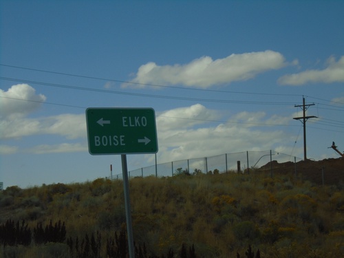
NV-225 North Approaching NV-226

NV-225 North Approaching NV-226

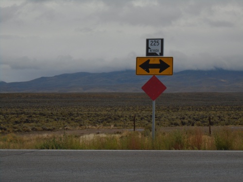
NV-225 North approaching NV-226 - Tuscarora Junction.

I-80 West - Exit 301 Offramp

I-80 West - Exit 301 Offramp

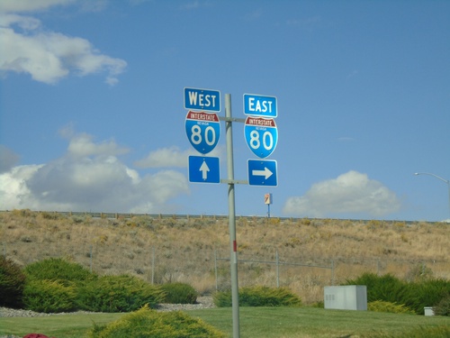
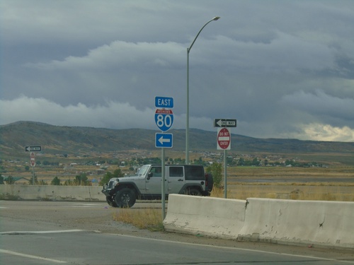
I-80 West Exit 301 offramp at NV-225. Turn left for NV-225 North to Boise (Idaho); left for NV-225 South to Elko.
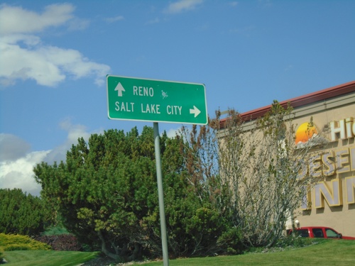
BL-80 East at I-80 West

BL-80 East at I-80 West

BL-80 East at I-80 West (Exit 303). Turn left for I-80 west to Reno.

BL-80 East at I-80

BL-80 East at I-80

BL-80 East at I-80 (Exit 303) in Elko.

BL-80 East at I-80 (Exit 303)

BL-80 East at I-80 (Exit 303)

BL-80 East at I-80 (Exit 303) in Elko. Turn right for I-80 east to Salt Lake City (UT); continue under freeway for I-80 west to Reno.
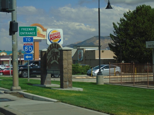
BL-80 East (Idaho St.) at Jennings Way to I-80

BL-80 East (Idaho St.) at Jennings Way to I-80

BL-80 East (Idaho St.) at Jennings Way to I-80. Turn left for Jennings Way and I-80 onramps.
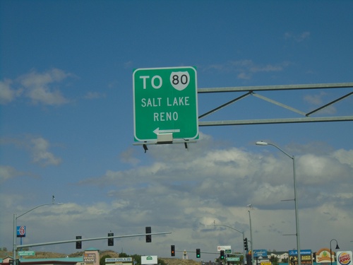
BL-80 East (Idaho St.) Approaching I-80

BL-80 East (Idaho St.) Approaching I-80

BL-80 East (Idaho St.) approaching I-80 to Salt Lake (UT) and Reno.
I-80 West Exit 303 Offramp

I-80 West Exit 303 Offramp

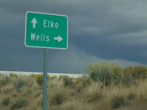
I-80 West Exit 303 Offramp at BL-80. Turn left for BL-80 (Jennings Way).

I-80 West - Exit 303

I-80 West - Exit 303

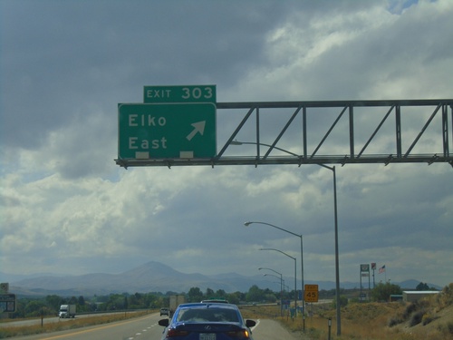
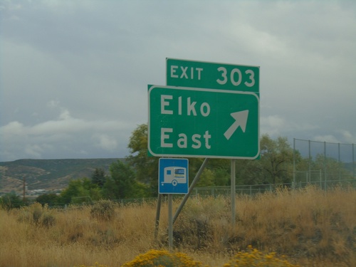
I-80 west at Exit 303 - Elko East.

I-80 West - Business Loop

I-80 West - Business Loop

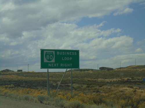
I-80 west approaching Exit 303. Use Exit 303 for BL-80 Business Loop.

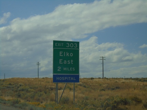
I-80 West - Exit 303

I-80 West - Exit 303

I-80 west approaching Exit 303 - Elko East.

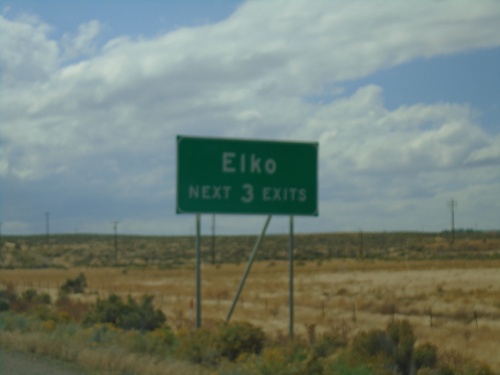
I-80 West - Elko Exits

I-80 West - Elko Exits

Elko - Next 3 Exits on I-80 west.

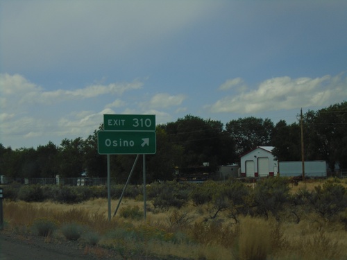
I-80 West - Exit 310

I-80 West - Exit 310

I-80 west at Exit 310 - Osino.

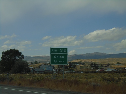
I-80 West - Exit 310

I-80 West - Exit 310

I-80 west approaching Exit 310 - Osino.

I-80 West - Check Station

I-80 West - Check Station

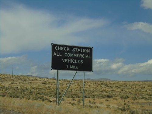
I-80 west approaching Check Station. All Commercial Vehicles Must Exit.

I-80 West - Exit 314

I-80 West - Exit 314

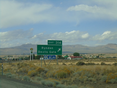
i-80 west at Exit 314 - Ryndon/Devils Gate.

I-80 West - Exit 314

I-80 West - Exit 314

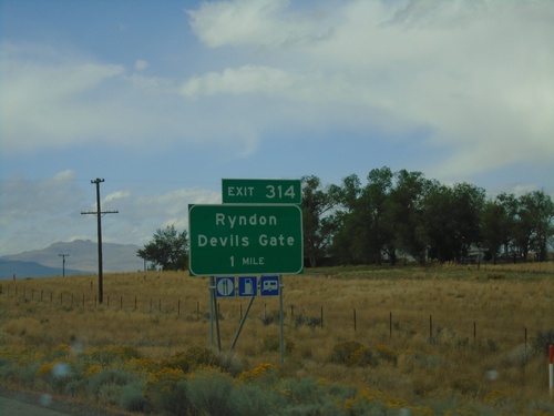
I-80 west approaching Exit 314 - Ryndon/Devils Gate

I-80 West - Exit 317

I-80 West - Exit 317

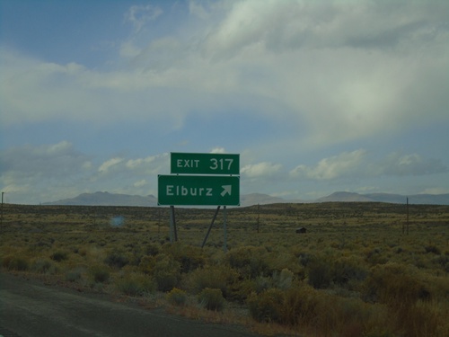
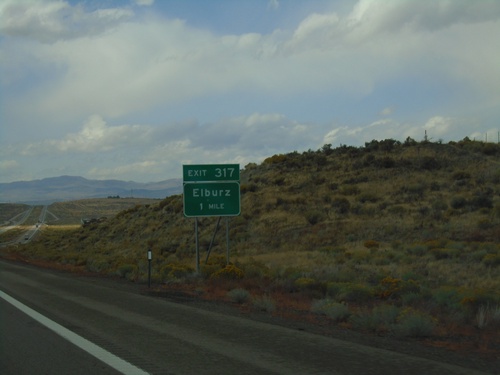
I-80 west at Exit 317 - Elburz

I-80 West Exit 317

I-80 West Exit 317

I-80 West approaching Exit 317 - Elburz

I-80 West - Distance Marker

I-80 West - Distance Marker

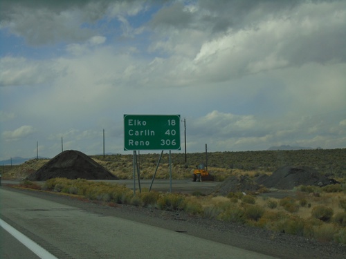
Distance marker on I-80 west. Distance to Elko, Carlin, and Reno.

End NV-229 North at I-80 West

End NV-229 North at I-80 West

End NV-229 North at I-80 West (Exit 321).

End NV-229 North at I-80 (Exit 321)

End NV-229 North at I-80 (Exit 321)

End NV-229 North at I-80 (Exit 321). Use I-80 east for Wells; I-80 west for Elko.
NV-229 North - Starr Valley Junction

NV-229 North - Starr Valley Junction

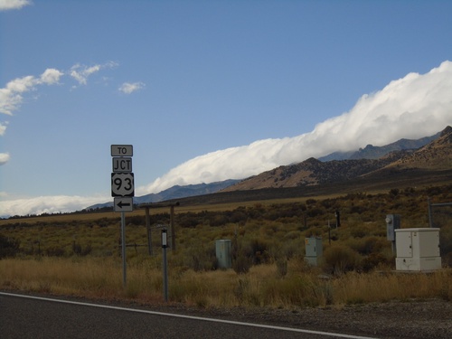
NV-229 north at Starr Valley junction

NV-229 North at Lamoille Jct.

NV-229 North at Lamoille Jct.

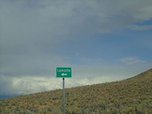
NV-229 North at Fort Halleck Road to Lamoille

NV-229 North - Secret Pass

NV-229 North - Secret Pass

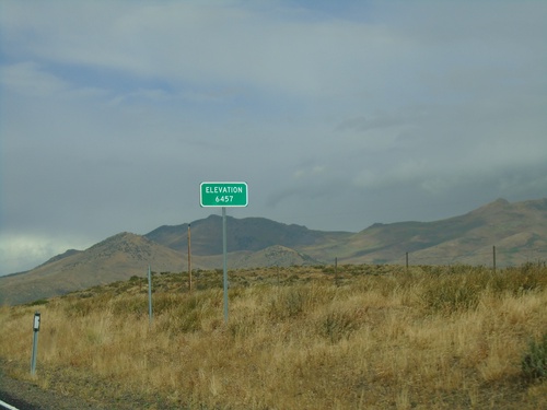
NV-229 North at Secret Pass - Elevation 6457 Feet.

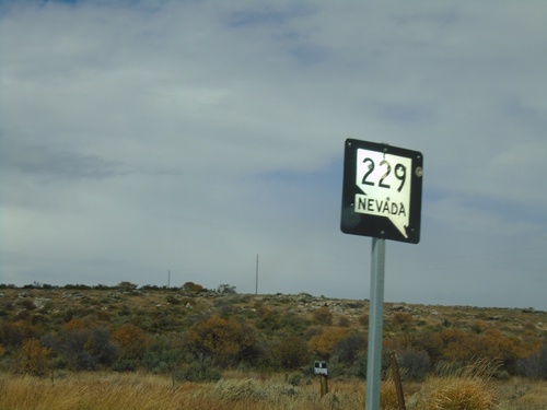
NV-229 North - Elko County

NV-229 North - Elko County

NV-229 North in Elko County

NV-229 North - North Ruby Valley Jct.

NV-229 North - North Ruby Valley Jct.

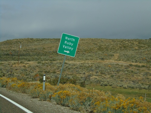
NV-229 North at North Ruby Valley junction.

NV-229 South at NV-767

NV-229 South at NV-767

NV-229 South at NV-767 in Elko County. Turn left to continue south on NV-229 and for US-93.
End NV-767 North at NV-229

End NV-767 North at NV-229

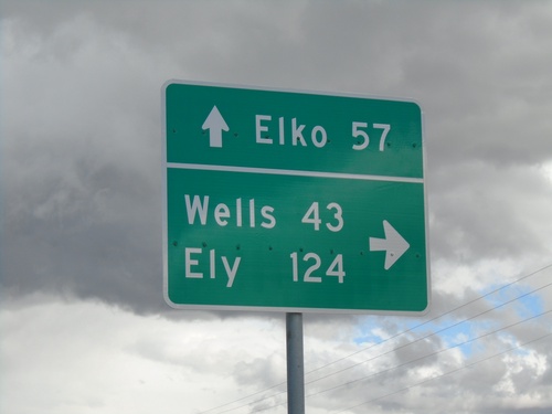
End NV-767 North at NV-229. Turn right for NV-229 South to Ely (via US-93 South) and Wells (via US-93 North). Continue straight for NV-229 North to Elko (via I-80 West).
Harrison Pass Road South at County Road

Harrison Pass Road South at County Road

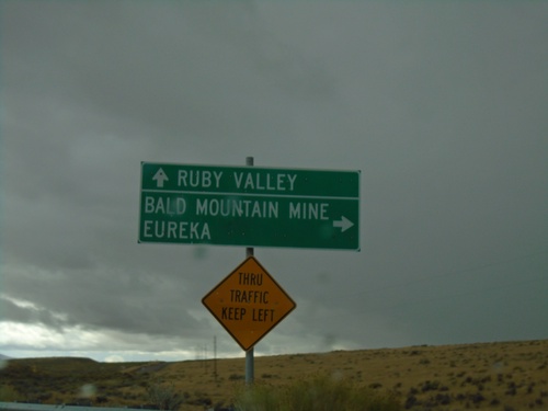
Harrison Pass Road South at County Road to Eureka and Bald Mountain Mine. Continue east for Ruby Valley.
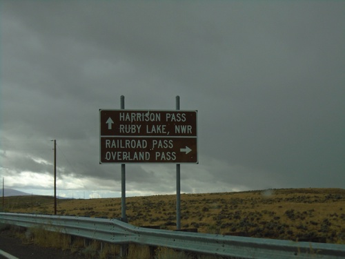
Harrison Pass Road at Railroad Pass Jct.

Harrison Pass Road at Railroad Pass Jct.

Harrison Pass Road at county road to Railroad Pass and Overland Pass. Use Harrison Pass Road for Harrison Pass and Ruby Valley NWR.
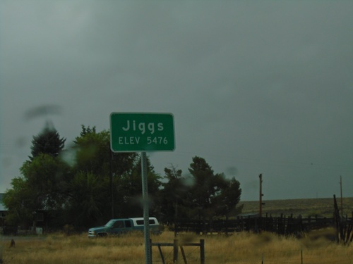
NV-228 South - Jiggs

NV-228 South - Jiggs

Entering Jiggs on NV-228 south. Elevation 5476 Feet.

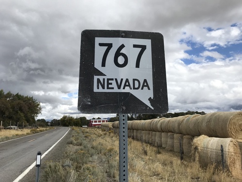
Begin NV-767 North

Begin NV-767 North

Begin NV-767 North in the Ruby Valley.

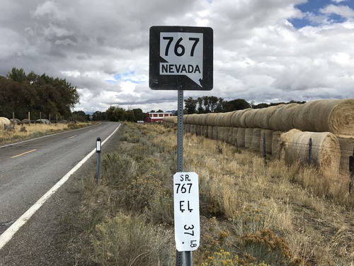
Begin NV-767 North

Begin NV-767 North

Begin NV-767 North in the Ruby Valley. Milepost 37.18 Elko County.

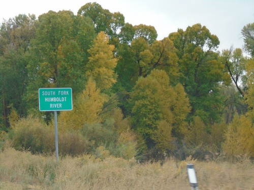
NV-228 South - South Fork Humboldt River

NV-228 South - South Fork Humboldt River

South Fork of the Humboldt River on NV-228 South.

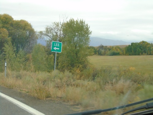
NV-228 South - Lee Jct.

NV-228 South - Lee Jct.

NV-228 South at Lee Jct.

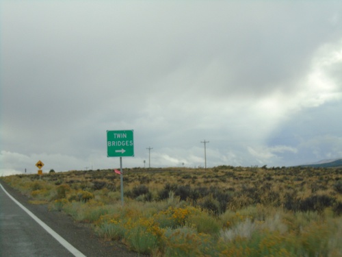
NV-228 South at Twin Bridges Jct.

NV-228 South at Twin Bridges Jct.

NV-228 South at Twin Bridges junction

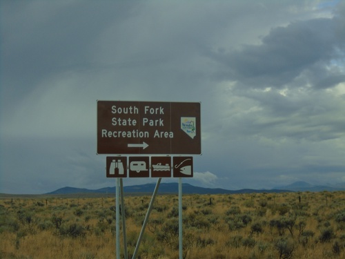
NV-228 South at South Fork State Park Recreation Area

NV-228 South at South Fork State Park Recreation Area

NV-228 South at South Fork State Park Recreation Area.
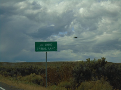
NV-228 South - South Fork Indian Reservation

NV-228 South - South Fork Indian Reservation

NV-228 - Entering Tribal Land - South Fork Indian Reservation
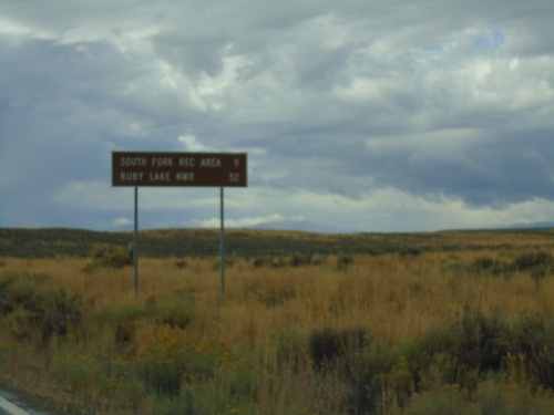
NV-228 South - Distance Marker

NV-228 South - Distance Marker

Distance marker on NV-228 south. Distance to South Fork Recreation Area and Ruby Lake NWR.
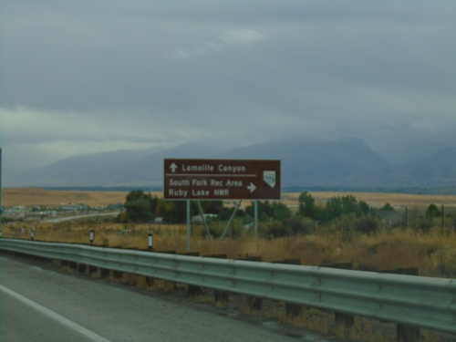
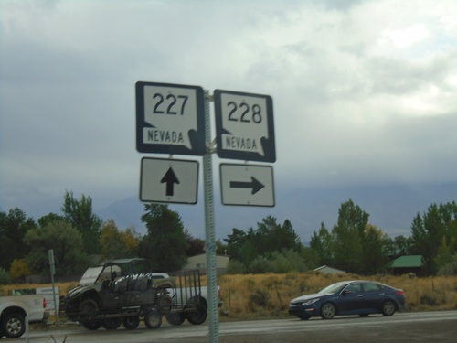
NV-227 East at NV-228

NV-227 East at NV-228

NV-227 east at NV-228 south in Spring Creek.

NV-227 East Approaching NV-228 South

NV-227 East Approaching NV-228 South

NV-227 East Approaching NV-228 South to South Fork Recreation Area and Ruby Lake NWR. Continue east on NV-226 for Lamoille Canyon.
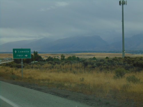
NV-227 East Approaching NV-228

NV-227 East Approaching NV-228

NV-227 east approaching NV-228 south to Jiggs. Continue east on NV-227 for Lamoille.
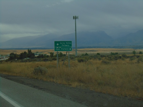
NV-227 East Approaching NV-228

NV-227 East Approaching NV-228

NV-227 East approaching NV-228 in Spring Creek. Turn right for NV-228 South/Jiggs Highway; turn left for Spring Valley Parkway.
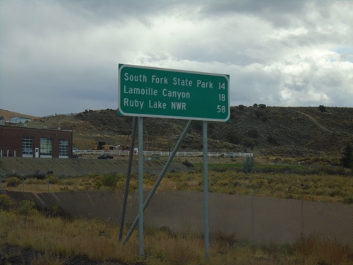
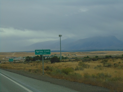
NV-227 East - Spring Creek

NV-227 East - Spring Creek

Entering Spring Creek - Elevation 5659 Feet on NV-227 East.

NV-227 South Approaching NV-228

NV-227 South Approaching NV-228

NV-227 South approaching NV-228 in Spring Creek.

NV-227 South - Distance Marker

NV-227 South - Distance Marker

Distance marker on NV-227 south. Distance to South Fork State Park (via NV-228), Lamoille, and Ruby Lake NWR (via NV-228).
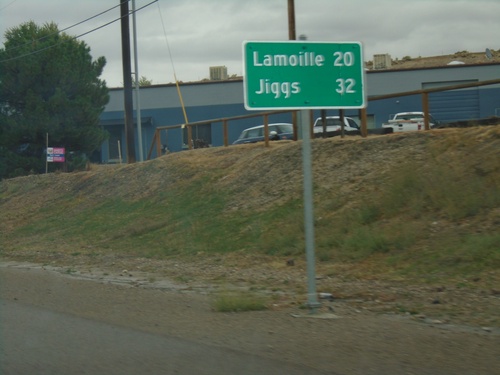
NV-227 South - Distance Marker

NV-227 South - Distance Marker

Distance marker on NV-227. Distance to Lamoille and Jiggs (via NV-228).
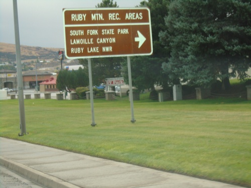
NV-227 South - Elko

NV-227 South - Elko

NV-227 (Lamoille Highway) in Elko.

BL-80 West (Jennings Way) at Idaho St.

BL-80 West (Jennings Way) at Idaho St.

BL-80 West (Jennings Way) at Idaho St. Turn right to continue west on BL-80 and for Ruby Mountain Recreation Areas: Lamoille Canyon, South Fork State Park, and Ruby Valley NWR.
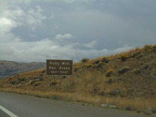
I-80 East - Exit 303

I-80 East - Exit 303

I-80 east at Exit 303 - Elko East.

I-80 East - Exit 303

I-80 East - Exit 303

I-80 east approaching Exit 303. Use Exit 303 for Ruby Mountain Recreation Areas.
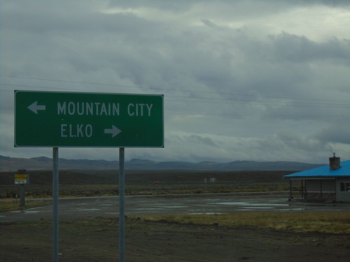
I-80 East - Exit 303

I-80 East - Exit 303

I-80 east approaching Exit 303 - Elko East.

NV-225 South at I-80 East

NV-225 South at I-80 East

NV-225 South at I-80 East (Exit 301).

NV-225 South - Adobe Summit

NV-225 South - Adobe Summit

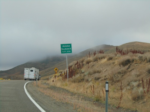
Adobe Summit - Elevation 6548 Feet on NV-225 south.

End NV-226 South at NV-225

End NV-226 South at NV-225

End NV-226 South at NV-225 - Tuscarora Junction.

End NV-226 at NV-225

End NV-226 at NV-225

End NV-226 east at NV-225 at Tuscarora Junction.

End NV-226 South at NV-225

End NV-226 South at NV-225

End NV-226 South at NV-225. Turn left on NV-225 north for Mountain City; left on NV-225 south for Elko.
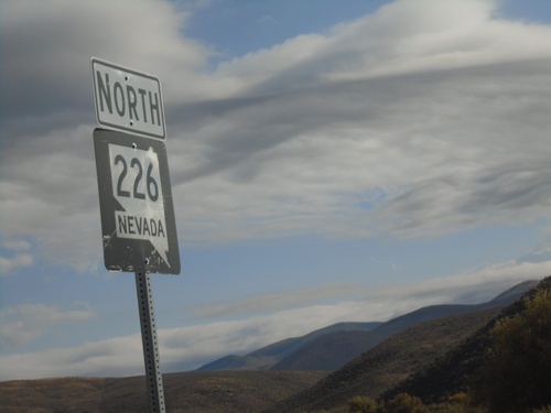
NV-226 East Approaching NV-225

NV-226 East Approaching NV-225

NV-226 East approaching NV-225 at Tuscarora Junction.

NV-226 South - Tuscarora

NV-226 South - Tuscarora

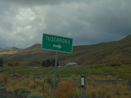
NV-226 south at Tuscarora junction.

NV-226 South - Chicken Creek Summit

NV-226 South - Chicken Creek Summit

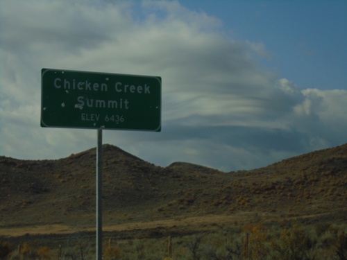
Chicken Creek Summit on NV-226 South. Elevation 6436 Feet.

End NV-226 North

End NV-226 North

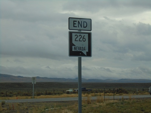
End NV-226 north. There is no END text on this sign assembly but it is posted just before the end of the pavement.
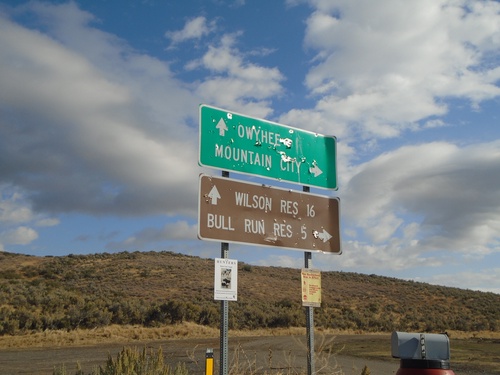
Begin NV-226 South - Elko County

Begin NV-226 South - Elko County

Begin NV-226 South in Elko County

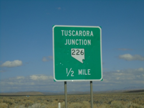
End NV-226 North

End NV-226 North

End NV-226 North in Elko County. Turn left for Owyhee and Wilson Reservoir; turn right for Mountain City and Bull Run Reservoir. Either road is unpaved.
Owyhee Road at Airport Road - Duck Valley Indian Reservation

Owyhee Road at Airport Road - Duck Valley Indian Reservation

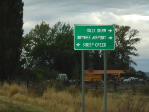
Owyhee Road at Airport Road in the Duck Valley Indian Reservation. Merge left to continue on Owyhee Road towards Sheep Creek (Reservoir). Use Airport Road for Owyhee Airport and Billy Shaw (Reservoir).
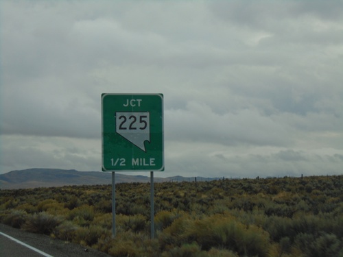
NV-225 South - Owyhee Road

NV-225 South - Owyhee Road

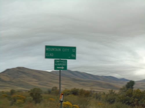
NV-225 south at Owyhee Road to Owyhee Airport. Continue on NV-225 for Mountain City and Elko.