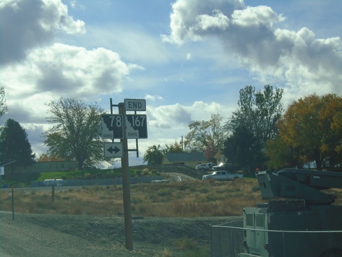
Signs From October 2019
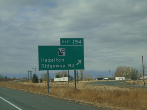
I-84 West - Exit 194
I-84 west at Exit 194 - ID-25/Ridgeway Road/Hazelton. ID-25 west leaves I-84 westbound here. The ID-25 shield is a newer style that has been appearing on guide signs recently.
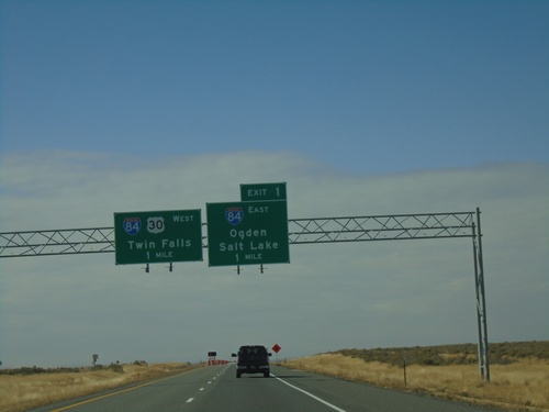
I-86 West at I-84
I-86 west at Exit 1 - I-84 East/Ogden/Salt Lake and I-84 West/US-30 West/Twin Falls. I-86 ends at I-84.
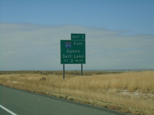
I-86 West Approaching I-84
I-86 west approaching Exit 1 - I-84 West/Ogden (Utah)/Salt Lake (Utah). This is the west end of I-86.
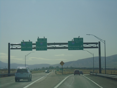
I-15 South - Exit 72 and 71
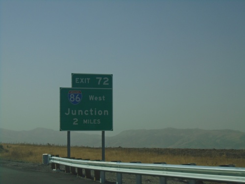
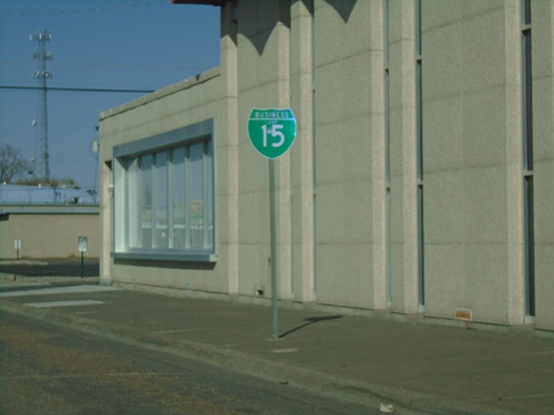
I-15 south at Exit 72 - I-86 West/Twin Falls/Chubbuck. Approaching Exit 71 - BL-15/Pocatello. Continue south on I-15 for Salt Lake. The BL-15 shield on Exit 71 is incorrectly labeled as I-15.
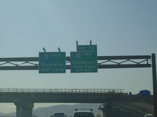
I-15 South - Exit 72
I-15 south approaching Exit 72 - I-86 West/Chubbuck/Twin Falls. Continue south on I-15 for Pocatello and Salt Lake (Utah).
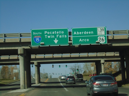
Emd BL-15 North at I-15 South/US-26 West
End BL-15 North at I-15 South (Exit 93)/US-26 West and approaching ID-39 in Blackfoot. Turn left for I-15 South to Pocatello and Twin Falls (via I-86). Continue straight for US-26 West to Arco and ID-39/Aberdeen Jct.
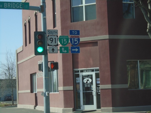
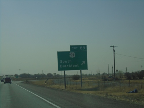
US-91 South at BL-15 - Blackfoot
US-91 South at BL-15 in Blackfoot. Turn right on Bridge St. for BL-15 North/To I-15; continue south for BL-15 South/US-91 South.
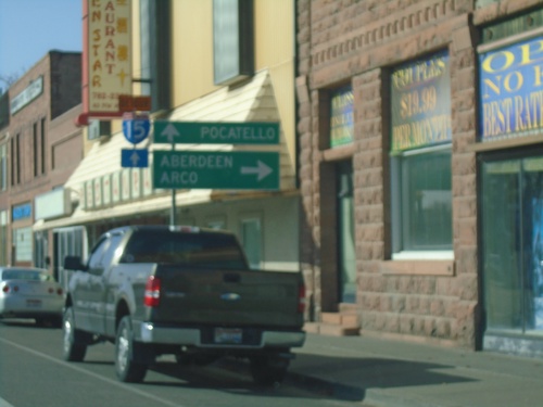
US-91 South at BL-15 - Blackfoot
US-91 South at BL-15 in Blackfoot. Turn right for BL-15 North to Aberdeen (via ID-39) and Arco (via US-26). Continue straight on US-91 South/BL-15 South for Pocatello and I-15.
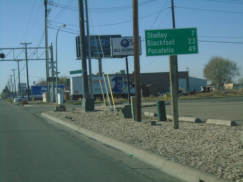
Bus. BL-15 South/US-26 West - Distance Marker
Distance marker on Bus. BL-15 South/US-26 West. Distance to Shelley (via US-91), Blackfoot, and Pocatello.
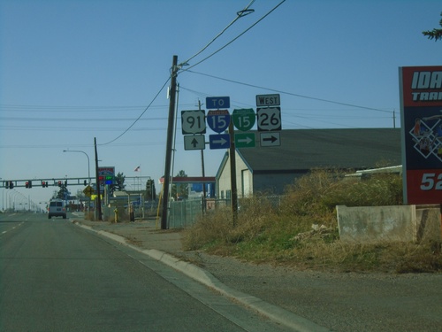
US-26 West/BL-15 South at US-91
US-26 West/BL-15 South (Yellowstone Highway) at US-91. Turn right on Sunnyside Road to continue west on US-26, BL-15 South, and for I-15. Continue straight on Yellowstone Highway for US-91. This is the beginning of US-91 southbound.
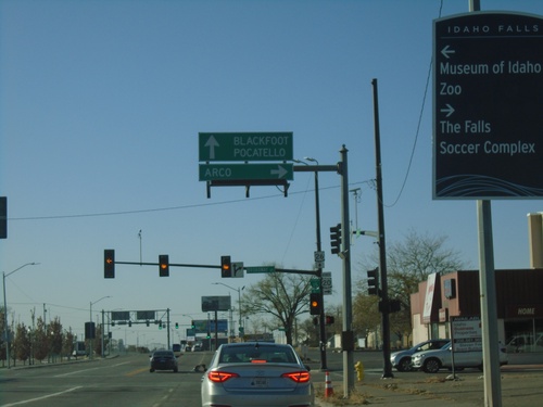
US-26 West/Bus. US-20 West at BL-15
US-26 West/Bus. US-20 West at BL-15/Bus. US-20 (Broadway) in Idaho Falls. Turn right for Bus. US-20 West/BL-15 North - Arco (via US-20). Continue straight for US-26 West/BL-15 South/Blackfoot/Pocatello.
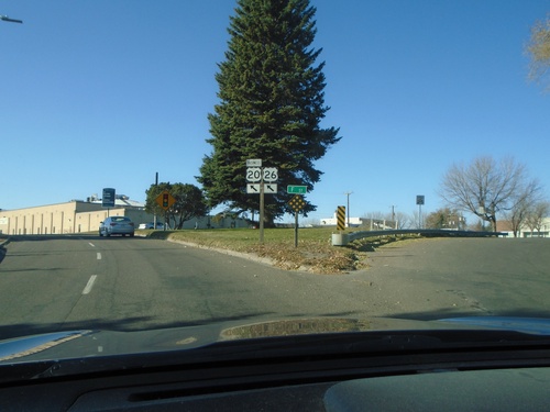
US-26 West/Bus. US-20 West - Idaho Falls
US-26 West/Bus. US-20 West at F St. in Idaho Falls. Merge left to continue on US-26 West/Bus. US-20 West.
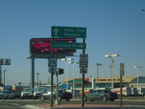
US-26 West at Bus. US-20
US-26 west at Bus. US-20 in Idaho Falls. Turn right for Bus. US-20 East/Lewisville Road. Continue straight for US-20 West/Bus. US-20 West/Idaho Falls/Pocatello.
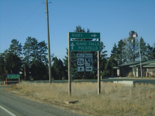
US-26 West at ID-43 North
US-26 West at ID-43 North to Rigby. Continue west on US-26 for Idaho Falls and Pocatello.
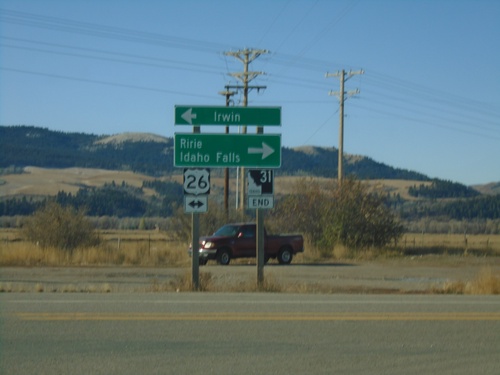
End ID-31 South at US-26
End ID-31 South at US-26 in Swan Valley. Turn left for US-26 East to Irwin; right for US-26 west to Ririe and Idaho Falls.
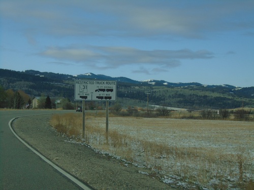
ID-33 West - Restricted Truck Route on ID-31
ID-33 West approaching ID-31. Restricted Truck Route on ID-31.
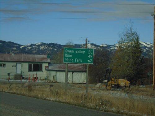
ID-31 South - Distance Marker
Distance marker on ID-31 south. Distance to Swan Valley, Ririe, and Idaho Falls.
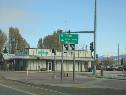
ID-33 West at ID-31 - Victor
ID-31 west at ID-31 in Victor. Turn left for ID-31 to Swan Valley and Idaho Falls (via US-26). Continue on ID-33 for Driggs.
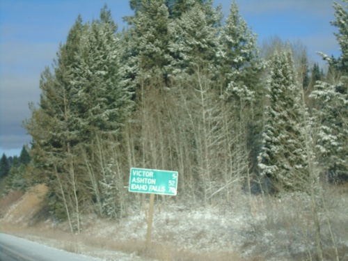
ID-33 West - Distance Marker
Distance marker on ID-33 west. Distance to Victor, Ashton, and Idaho Falls.
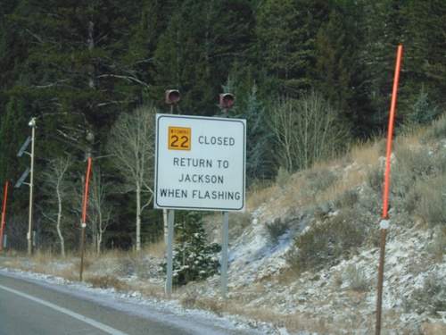
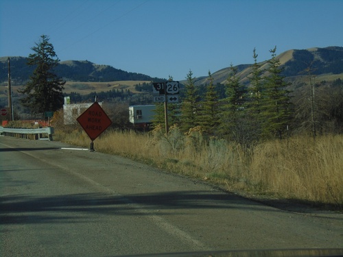
WY-22 West - Return To Jackson When Flashing
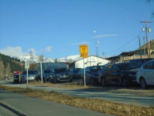
WY-22 west at the base of Teton Pass. Return to Jackson When Flashing.
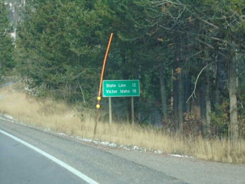
WY-22 West - Distance Marker
Distance marker on WY-22 west. Distance to (Idaho-Wyoming) State Line and Victor Idaho.
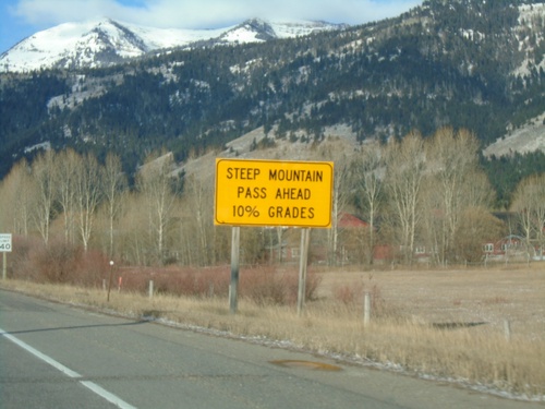
WY-22 West Approaching Teton Pass
WY-22 west approaching Teton Pass. Steep Mountain Pass Ahead - 10% Grades.
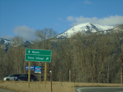
WY-22 West at WY-390 North
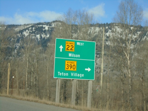
WY-22 West at WY-390 North. Turn right for WY-390 north to Teton Village; straight on WY-22 west for Wilson.
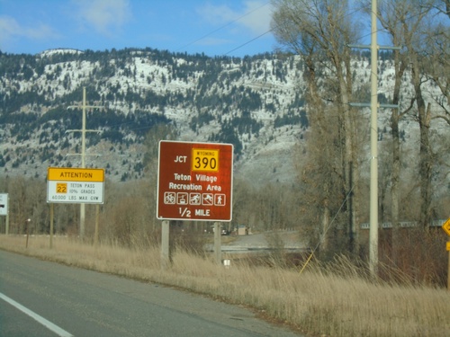
WY-22 West Approaching WY-390
WY-22 West approaching WY-390 in Wilson. Use WY-390 north for Teton Village Recreation Area.
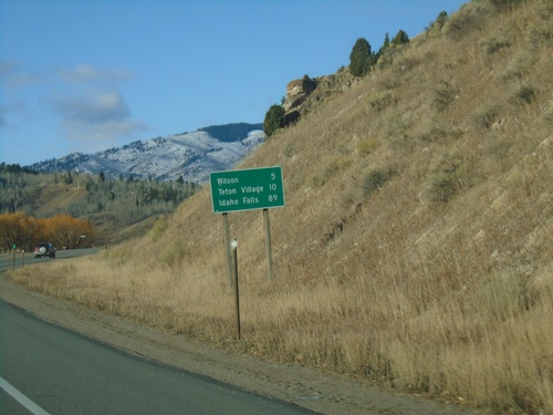
WY-22 West - Distance Marker
Distance marker on WY-22 west. Distance to Wilson, Teton Village (via WY-390) and Idaho Falls (Idaho).
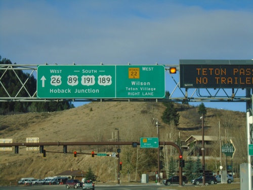
US-89/US-191/US-26/US-189 South At WY-22
US-89/US-191/US-26/US-189 South At WY-22 West to Wilson and Teton Village. Continue on US-89/US-191/US-189 South/US-26 West to Hoback Junction.
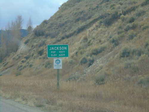
US-26 West/US-89/US-191 South - Jackson
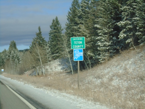
Entering Jackson on US-26 West/US-89/US-191 South. Jackson is the seat of Teton County. Elevation 6209 - Population 9577.
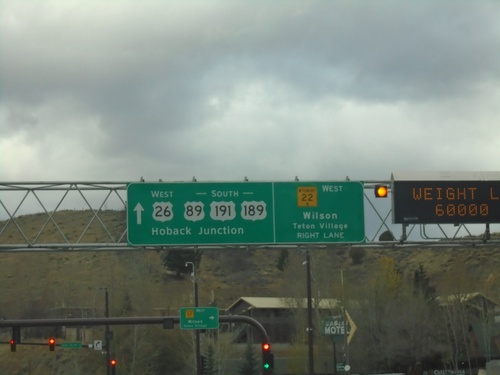
US-89/US-191/US-26/US-189 South At WY-22
US-89/US-191/US-26/US-189 South At WY-22 West to Wilson and Teton Village. Continue on US-89/US-191/US-189 South/US-26 West to Hoback Junction.
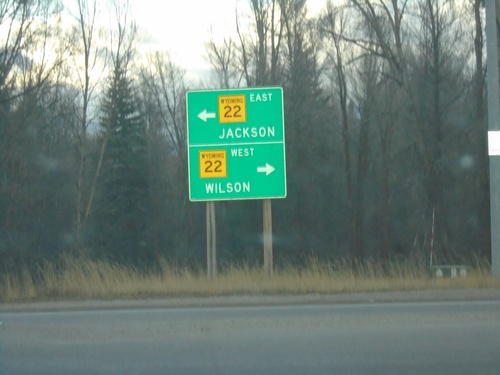
End WY-390 South at WY-22
End WY-390 south at WY-22. Turn left on WY-22 east for Jackson; left on WY-22 west for Wilson.
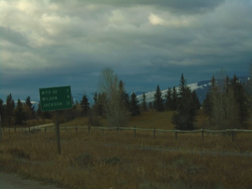
WY-390 South - Distance Marker
Distance marker on WY-390 south. Distance to WYO-22, Wilson, and Jackson.
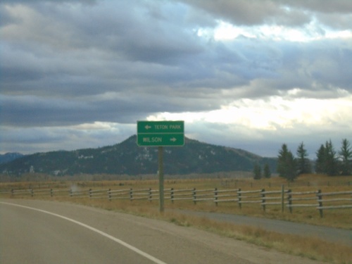
Teton Village Road Approaching WY-390
Teton Village Road approaching WY-390. Turn left for Teton (National) Park; right for Wilson.
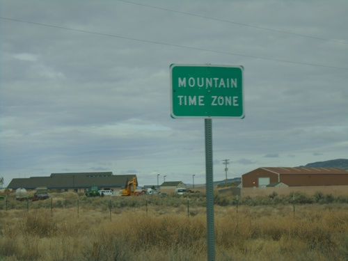
NV-225 North - Mountain Time
Entering Mountain Time Zone on NV-225 north, approaching the Idaho state line. The official time zone boundary is the Nevada-Idaho state line, but the towns of Owyhee and Mountain City, NV both observe Mountain Time.
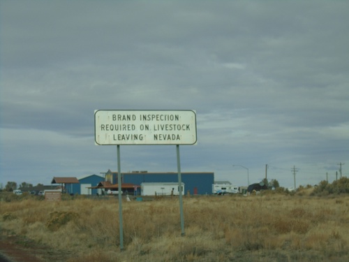
NV-225 North - Brand Inspection Required
Brand Inspection Required on Livestock Leaving Nevada on NV-225 north.
End NV-766 North
End NV-766 North in Eureka County. Turn left for Newmont Mine; continue straight for Ranches (Maggie Creek Road).
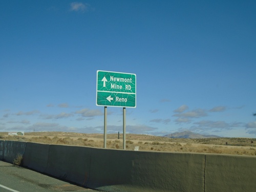
NV-766 North at I-80 West
NV-766 North at I-80 West to Reno. Continue north for NV-766/Newmont Mine Road.
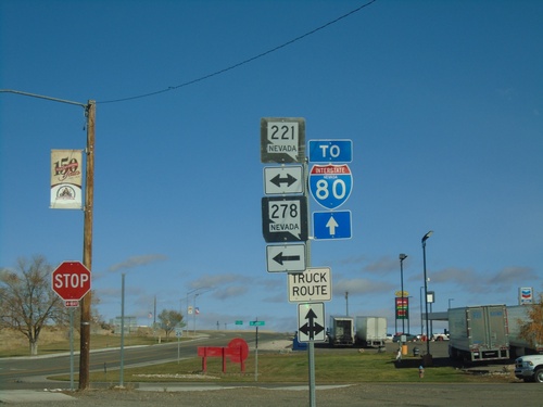
10th St. North at Chestnut St.
10th St. northbound at Chestnut St. (BL-80/NV-221) in Carlin. Use westbound Chestnut St. for NV-278. Continue north on 10th St. (NV-766) for I-80.
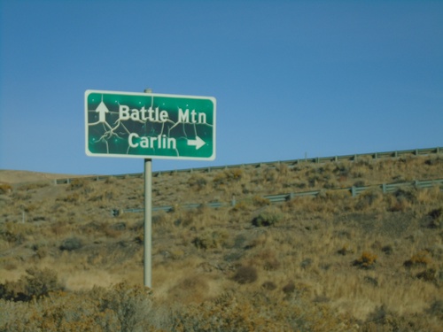
NV-306 North at I-80 (Exit 261)
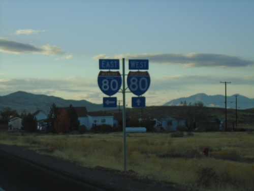
NV-306 North at I-80 (Exit 261). Use I-80 west for Battle Mountain; I-80 east for Carlin.
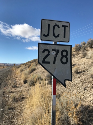
Bush St. West at NV-278
Bush St. West at NV-278 in Carlin. This is an unusual cutout style Nevada state highway shield, that looks more like the style on guide signs.
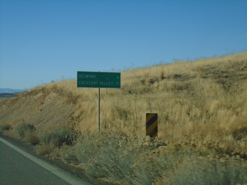
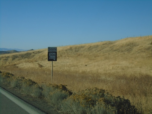
NV-306 South - Distance Marker
Distance marker on NV-306 south. Distance to Beowawe and Crescent Valley.
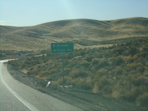
I-80 East Exit 261 Offramp at NV-306
I-80 offramp at NV-306 south to Beowawe. Turn left to return to I-80 west to Battle Mountain
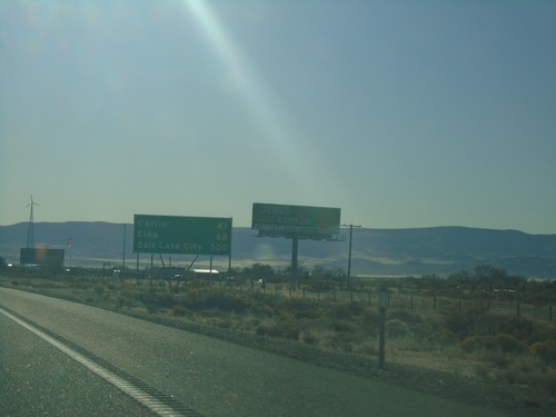
I-80 East - Distance Marker
Distance marker on I-80 east. Distance to Carlin, Elko, and Salt Lake City. This is the first appearance of Salt Lake City as a control city along I-80 east in Nevada.
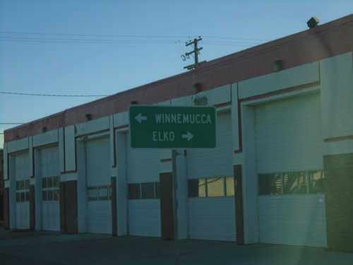
End NV-305 North at BL-80/NV-304
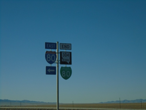
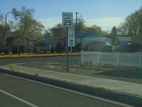
End of NV-305 at BL-80/NV-304. Turn right on BL-80/NV-304 for Elko; turn left on BL-80/NV-304 for Winnemucca.
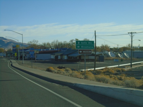
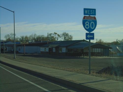
NV-305 North at I-80 West
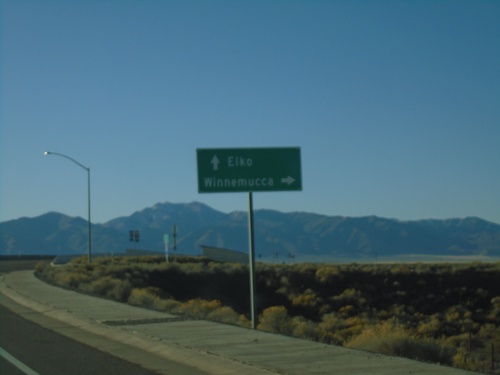
NV-305 North at I-80 West (Exit 231). Use I-80 west for Winnemucca. Continue north on NV-305 for Battle Mountain.
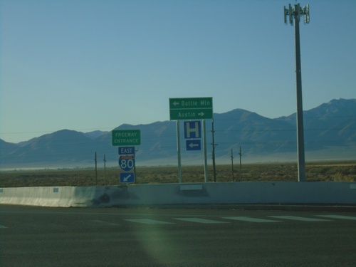
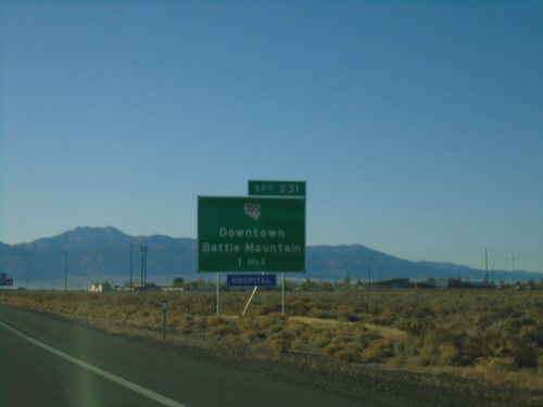
I-80 East Exit 231 Offramp at NV-305
I-80 East Exit 231 Offramp at NV-305 in Battle Mountain. Use NV-305 North for Battle Mountain; NV-305 South for Austin.
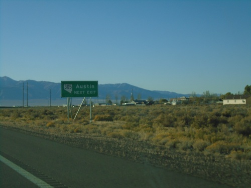
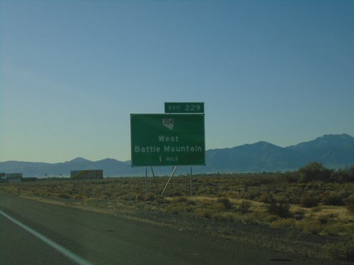
I-80 East Exit 231 - Use NV-305 For Austin
I-80 east approaching Exit 231. Use NV-305 South for Austin.
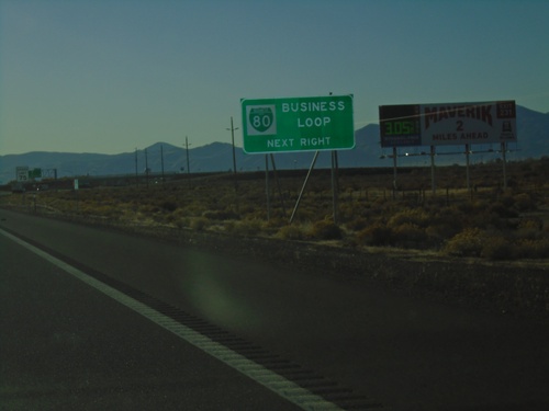
I-80 East Approaching Business Loop I-80
I-80 East approaching Business Loop I-80 in Battle Mountain.
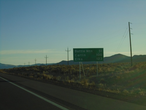
I-80 East - Distance Marker
Distance marker on I-80 west. Distance to Battle Mountain, Carlin, and Elko.
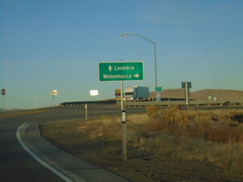
Winnemucca Blvd. West at I-80 (Exit 173)
Winnemucca Blvd. West at I-80 (Exit 173). Use I-80 West for Lovelock; I-80 East for Winnemucca.
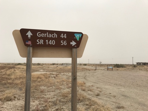
Jungo Road at Jackson Creek Ranch Road
Jungo Road West at Jackson Creek Ranch Road. Use Jackson Creek Ranch Road north for NV-140; continue on Jungo Road west for Gerlach.
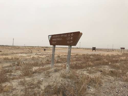
Jungo Road at County Road
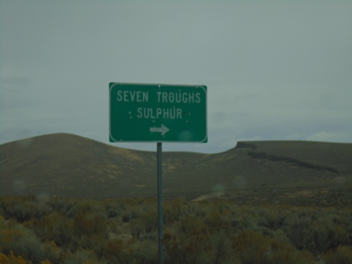
Jungo Road at County Road south to Imlay, Rabbithole, and Rosebud Spring. Taken in the ghost town of Sulphur.
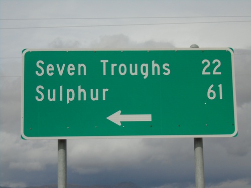
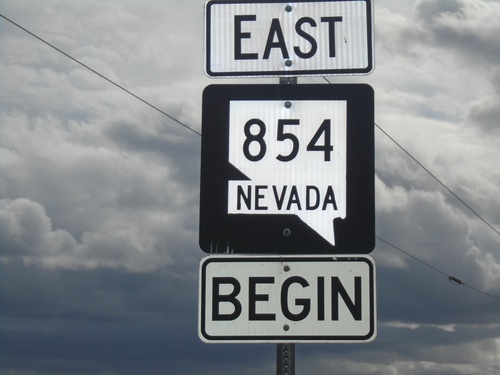
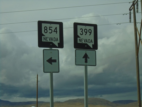
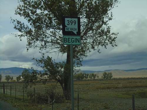
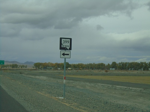
End NV-854 at NV-399
End NV-854 at NV-399 in Pershing County. Use NV-399 west for Seven Troughs and Sulphur.
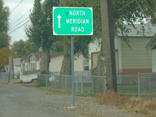
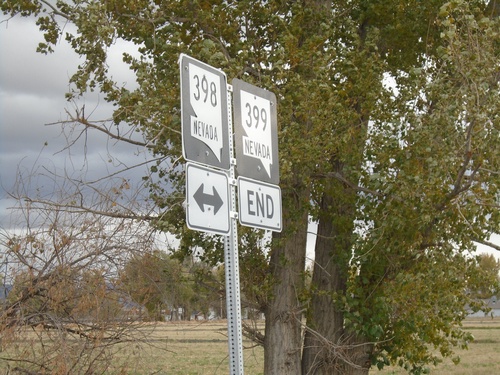
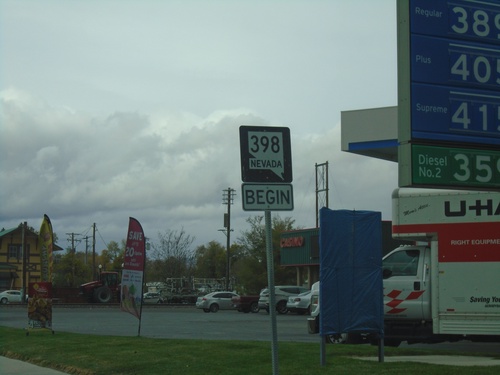
NV-398 North - North Meridian Road
NV-398 North (Central Ave.) becomes North Meridian Road after leaving Lovelock city limits.
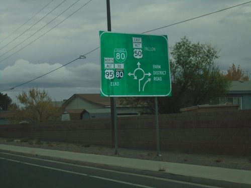
Alt. US-95 North/Alt. US-50 East/BL-80 East - Roundabout
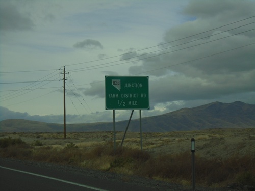
Approaching roundabout on Alt. US-95 North/Alt. US-50 East/BL-80 East. Roundabout for BL-80 East/To I-80/Alt. US-95 North/Elko; Alt. US-50 East to Fallon; (NV-828)/Farm District Road.
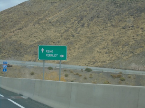
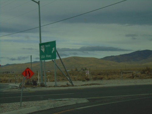
NV-439 North approaching I-80
NV-439 North approaching I-80. Use I-80 west for Reno; I-80 east for Fernley.
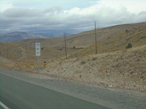
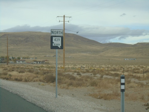
NV-439 North - Mile 1
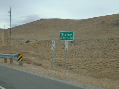
Storey County Mile 1 on NV-439 North. This type of postmile sign is being rolled out across Nevada. The new style are larger and have the route shield in it.
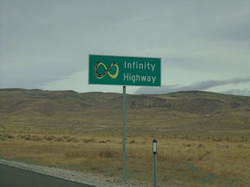
NV-439 North - Infinity Highway
Infinity Highway on NV-439 North. NV-439 North passes by the Tesla Gigafactory.
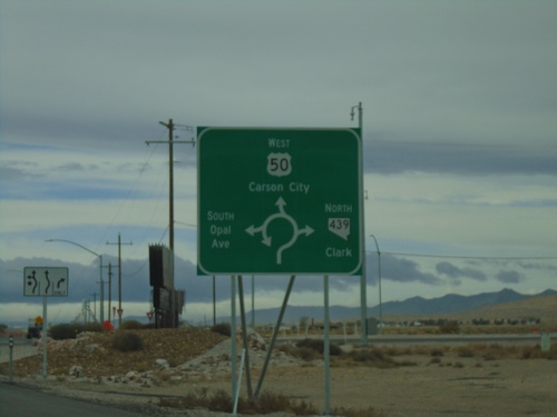
US-50 West at NV-439 Roundabout
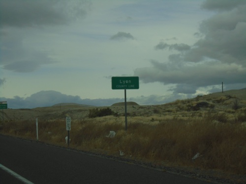
US-50 West at NV-439 roundabout in Lyon County. Use US-50 West for Carson City; use NV-439 North for Clark; South Opal Ave. also enters the roundabout here.
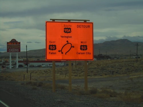
Alt. US-50 West/Alt. US-95 South - US-50
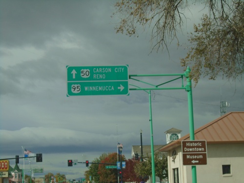
Alt. US-50 West/Alt. US-95 South at US-50. Currently there is a construction project to replace the intersection with a roundabout. Use US-50 West for Carson City; US-50 East for Fallon; Alt. US-95 South for Yerington. This is the western end of Alt. US-50.
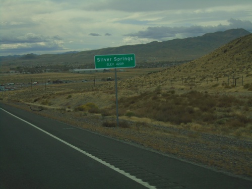
Alt. US-50 West/Alt. US-95 South - Silver Springs
Entering Silver Springs on Alt. US-50 West/Alt. US-95 South
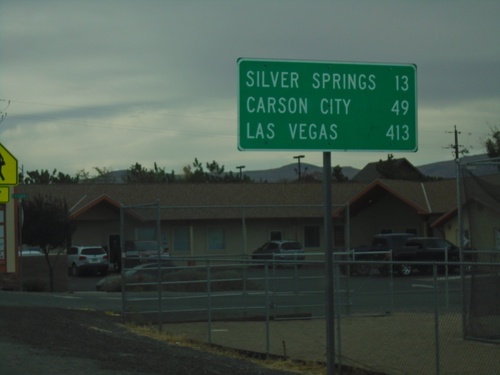
Alt. US-95 South/Alt. US-50 West - Distance Marker
Distance Marker on Alt. US-95 South/Alt. US-50 West. Distance to Silver Springs, Carson City, and Las Vegas.
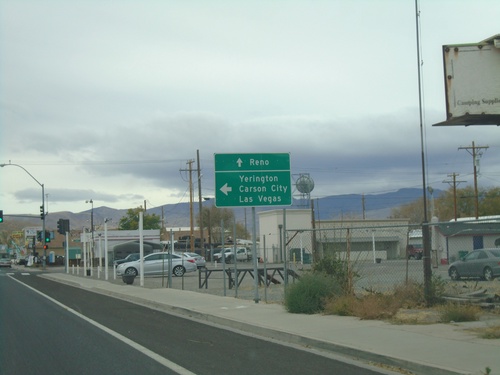
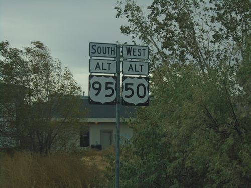
US-95 Alt. South/US-50 Alt. West at NV-427 North
US-95A South/US-50A West/BL-80 West at US-95A South to Carson City, Yerington, and Las Vegas. Use BL-80 West and NV-427 North to Reno.
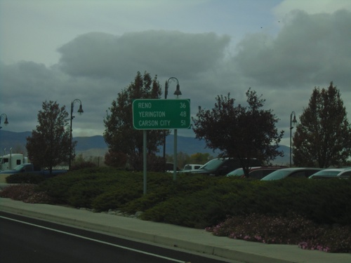
Alt. US-95 South/Alt. US-50 West/BL-80 West - Distance Marker
Distance marker on Alt. US-95 South/Alt. US-50 West/BL-80 West. Distance to Reno (via I-80), Yerington, and Carson City.
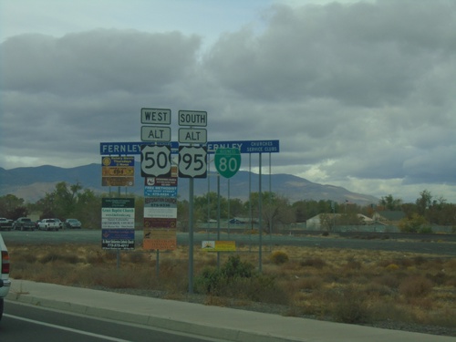
Alt. US-95 South/Alt. US-50 West/BL-80 - Fernley
Alt. US-95 South/Alt. US-50 West/BL-80 on E. Main St. in Fernley
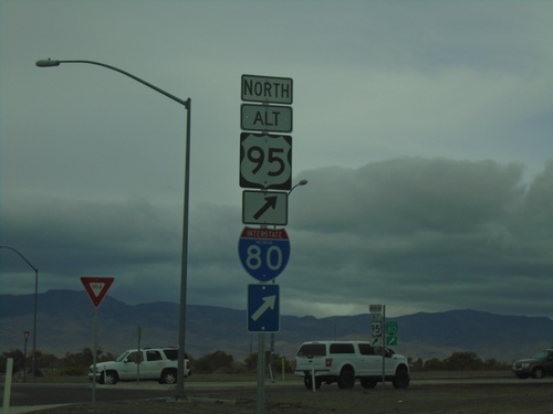
Alt. US-50 West at Alt. US-95 Roundabout
Alt. US-50 West at Alt. US-95 roundabout. Turn right for Alt. US-95 North/To I-80
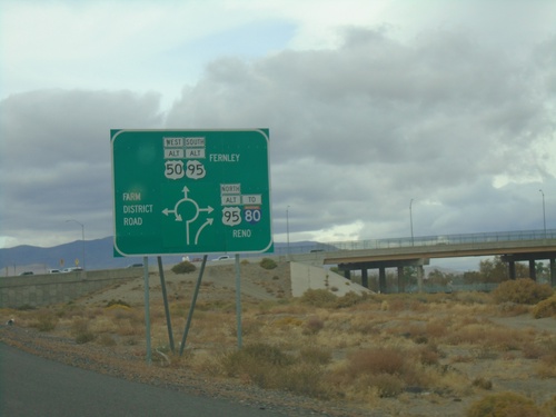
Alt. US-50 West Approaching Alt. US-95/NV-828/BL-80
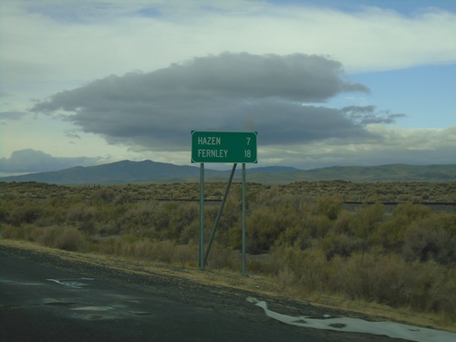
Alt. US-50 West Approaching Alt. US-95/NV-828/BL-80 roundabout in Fernley. Use Alt. US-95 North/To I-80/(BL-80) to Reno; Alt. US-95 South/Alt. US-50 West/(BL-80) to Fernley; and (NV-828) for Farm District Road.
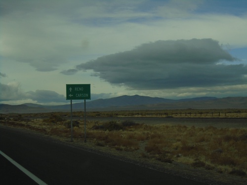
US-50 West at Alt. US-50 West
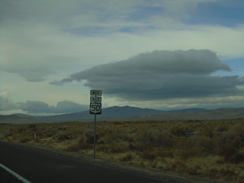
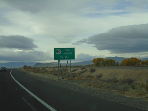
US-50 west at Alt. US-50 west. Use US-50 west for Carson (City). Continue ahead for Alt. US-50 west to Reno.
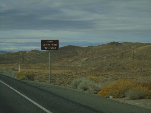
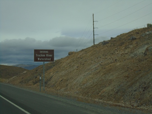
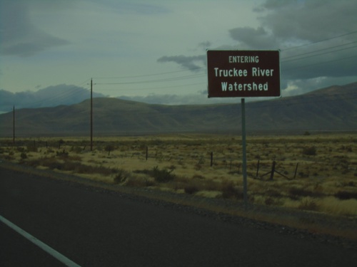
US-50 West - Entering Carson River Watershed
Entering Carson River Watershed on US-50 west. Taken at the summit of the Stillwater Range.
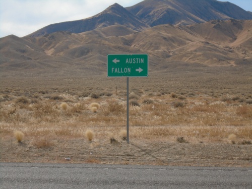
End NV-121 at US-50
Directional sign to Austin and Fallon at southern terminus of NV-121 at US-50 in Churchill County.
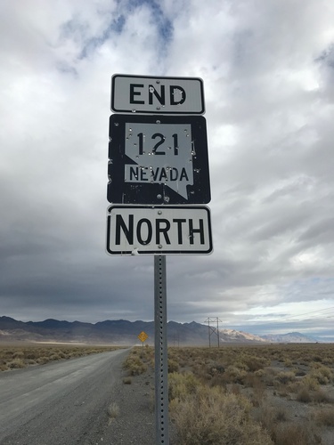
End NV-121 North - Churchill County
End NV-121 North. Unpaved road continues northbound as Dixie Valley Road
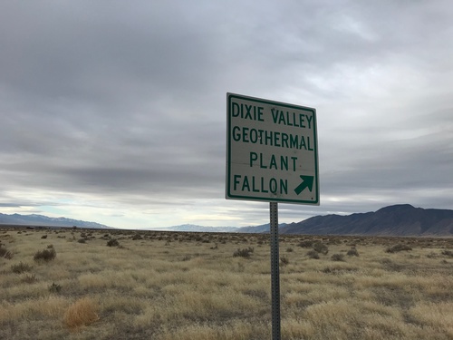
County Road at Dixie Valley Road
County road south at Dixie Valley Road. Turn right for Dixie Valley, Geothermal Plant, and Fallon.
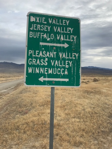
County Road From Buena Vista Valley at Dixie Valley and Pleasant Valley Junction
County Road From Buena Vista Valley at Dixie Valley and Pleasant Valley junction. Turn right for Dixie Valley, Jersey Valley, and Buffalo Valley; turn left for Pleasant Valley, Grass Valley, and Winnemucca.
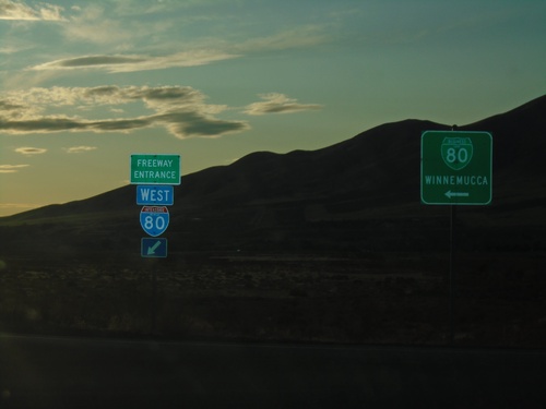
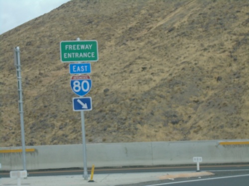
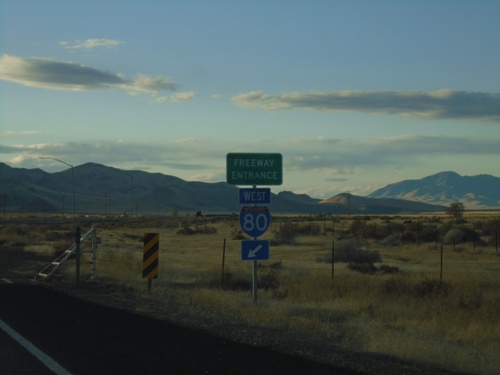
I-80 West - Exit 180 at BL-80/NV-794
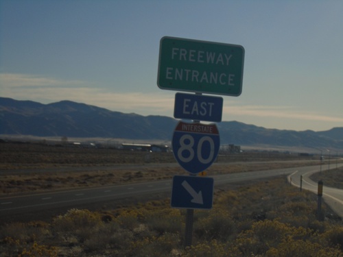
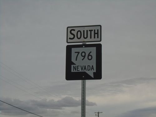
I-80 West (Exit 180) offramp at BL-80/NV-794. Turn left for BL-80/NV-794 to Winnemucca.
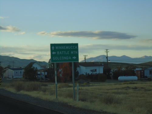
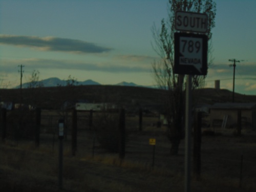
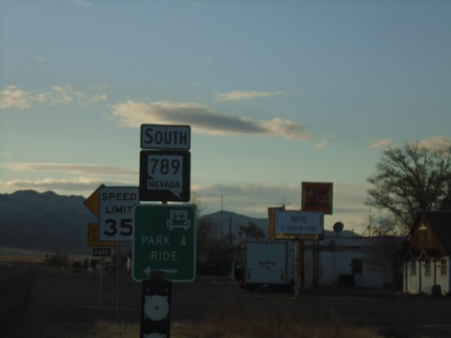
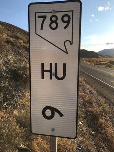
NV-789 North Approaching I-80 East
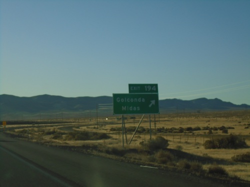
NV-789 North approaching I-80 East to Battle Mountain. Continue on NV-789 for I-80 West to Winnemucca; turn right for Golconda.
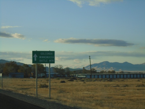
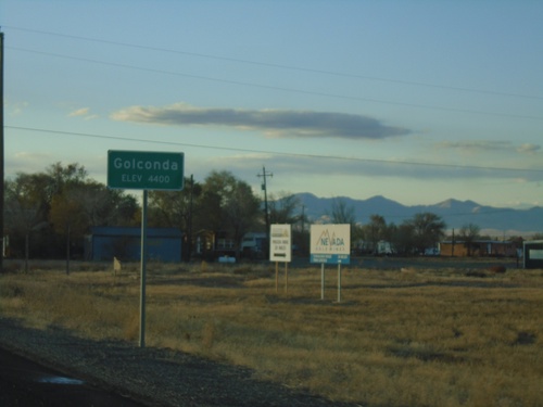
NV-789 - Golconda
NV-789 approaching Golconda. Continue straight for Golconda, Winnemucca (via I-80 west) and Battle Mountain (via I-80 east).
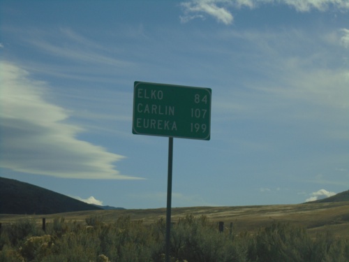
NV-225 South - Distance Marker
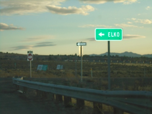
Distance marker on NV-225 south. Distance to Elko, Carlin (via I-80), and Eureka (via I-80 and NV-278).
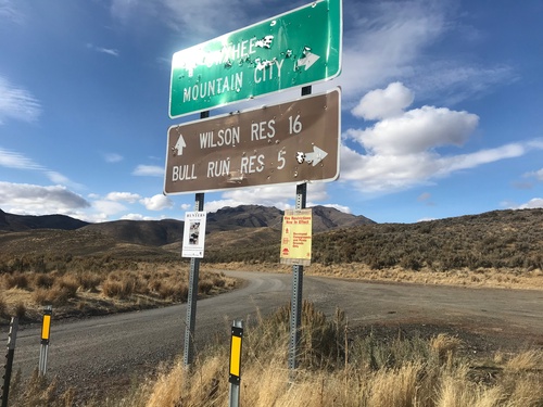
End NV-226 North
End NV-226 North in Elko County. Turn left for Owyhee and Wilson Reservoir; turn right for Mountain City and Bull Run Reservoir. Either road is unpaved.
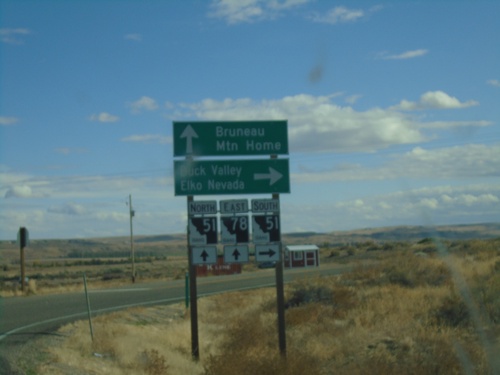
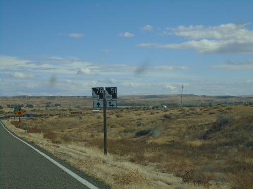
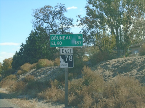
ID-78 East at ID-51
ID-78 East at ID-51 junction in Owyhee County. Continue on ID-78 East/ID-51 North for Bruneau and Mountain Home. Use ID-51 South for Duck Valley and Elko, Nevada.
