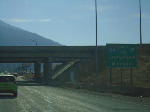
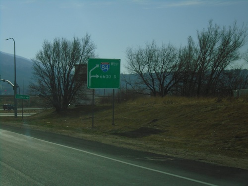
Signs From November 2019
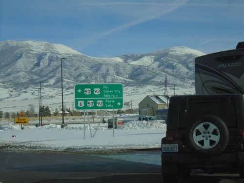
US-6 West at US-93/US-50
US-6 West at US-93/US-50. Use US-6/US-50 East/US-93 South for Pioche and Delta (Utah); use US-50 West/US-93 North for Ely, Carson City, and Twin Falls (Idaho).
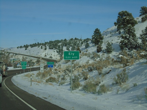
US-6 East - Ely
Entering Ely on US-6 west. Elevation 6435 Feet. Ely is the county seat of White Pine County. A US-6 postmile is in the background of the photo.
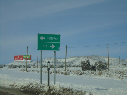
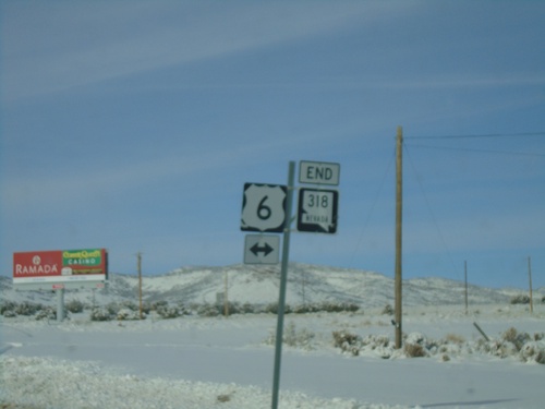
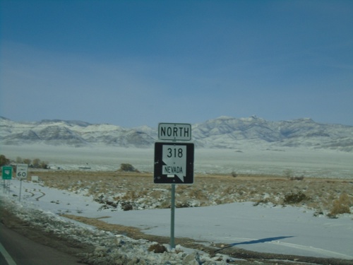
End NV-318 North at US-6
End NV-318 north at US-6 junction. Use US-6 west for Tonopah; US-6 east for Ely.
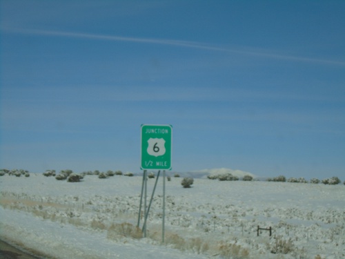
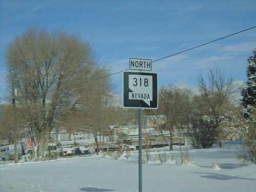
NV-318 North Approaching US-6
NV-318 North approaching US-6 in White Pine County. NV-318 northbound ends at US-6.
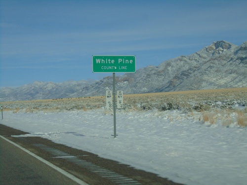
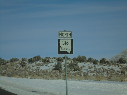
NV-318 North - White Pine County Line
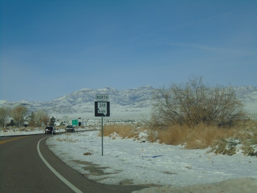
White Pine County Line on NV-318 North. The Nevada postmile markers for White Pine County and Nye County are at the bottom of the sign post.
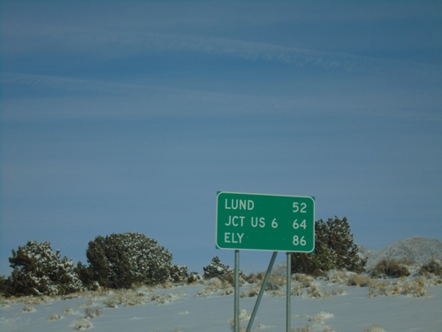
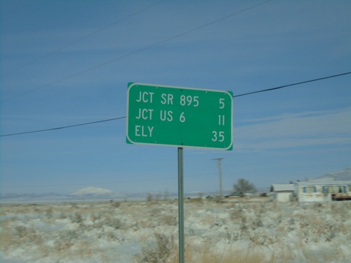
NV-318 North - Distance Marker
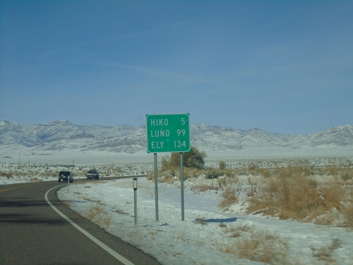
Distance marker on NV-318 north. Distance to Lund, Jct. US-6, and Ely.
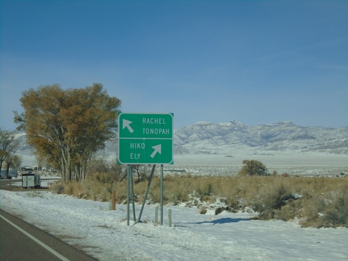
NV-318 North at NV-375
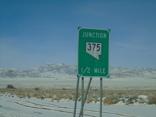
NV-318 North at NV-375. Merge right for NV-318 north to Hiko and Ely; merge left for NV-375 north to Rachel and Tonopah. This is the start of the Extraterrestrial Highway on NV-375 north.
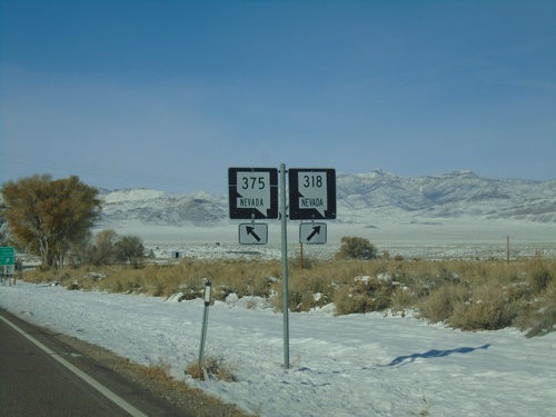
NV-318 North at NV-375
NV-318 North at NV-375 in Lincoln County. Merge left for NV-375 North; merge right for NV-318 North.
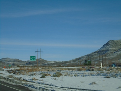
US-93 North Approaching NV-318/To NV-375
US-93 North approaching NV-318/To NV-375 in Lincoln County. The route numbers are written out in text as SR-318 and SR-375
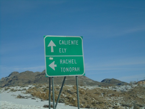
US-93 North NV-318 Jct.
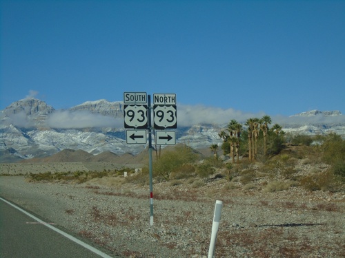
US-93 north at NV-318 junction to Rachel and Tonopah (via NV-375). Continue north on US-93 for Caliente and Ely.
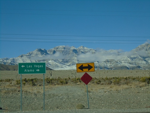
End NV-168 West at US-93
End NV-168 West at US-93. Use US-93 north to Alamo; US-93 south to Las Vegas.
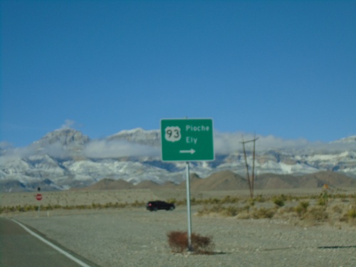
End NV-168 West at US-93
End NV-168 West at US-93 in Clark County. Use US-93 north for Pioche and Ely.
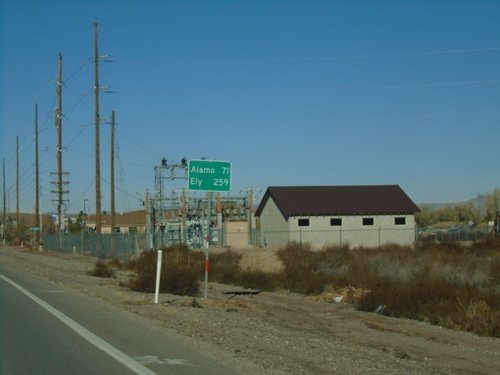
NV-168 West - Distance Marker
Distance marker on NV-168 west. Distance to Alamo and Ely (both via US-93).
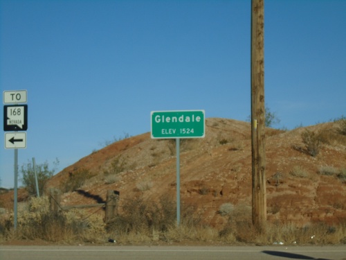
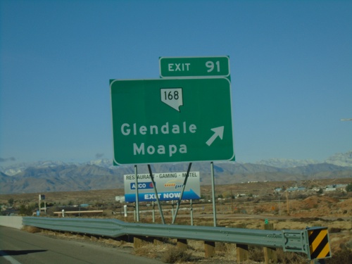
I-15 South at NV-168 - Glendale
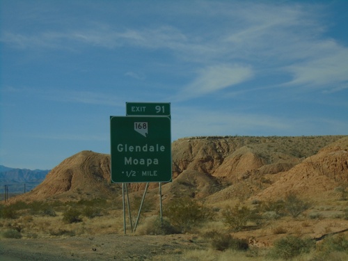
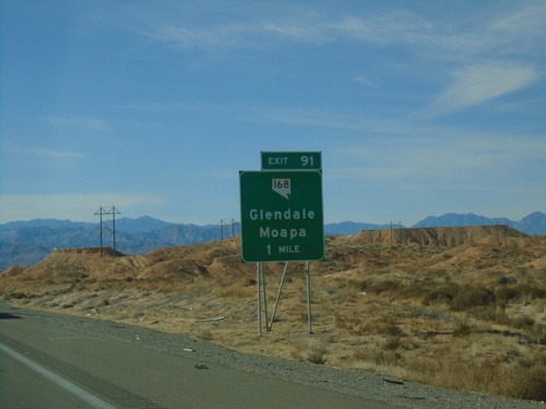
I-15 South at NV-168 (Exit 91). Entering Glendale - Elevation 1524. Turn left for NV-168.
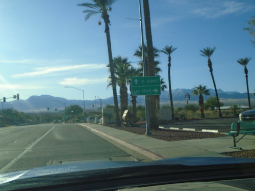
Pioneer Blvd. South Approaching I-15
Pioneer Blvd. South Approaching I-15 (Exit 122) in Mesquite. Use I-15 south for Las Vegas; I-15 north for St. George (Utah).
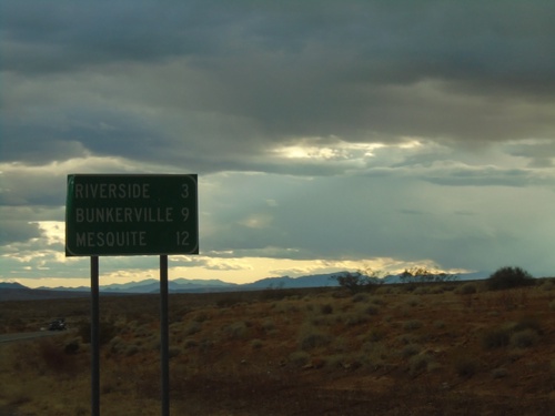
NV-170 East - Distance Marker
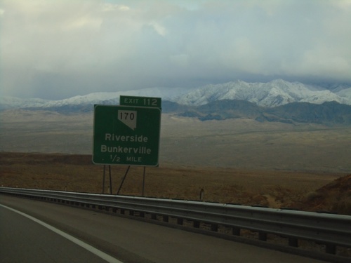
Distance marker on NV-170 east. Distance to Riverside, Bunkerville, and Mesquite.
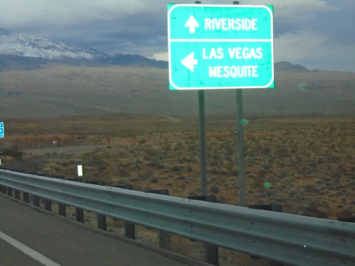
I-15 North - Exit 112 Offramp at NV-170
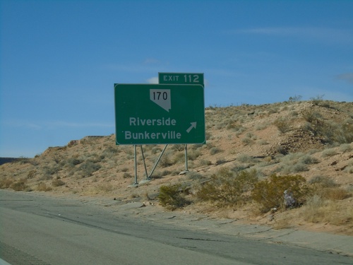
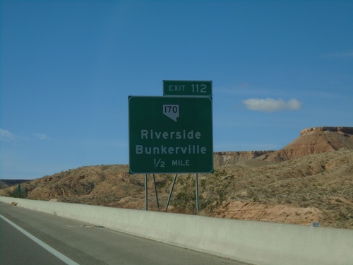
I-15 North - Exit 112 offramp at NV-170. Use NV-170 east for Riverside. Turn left to return to I-15 towards Mesquite (North) or Las Vegas (South).
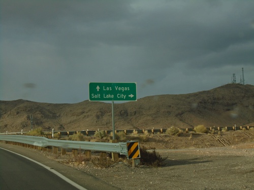
End NV-169 North at I-15
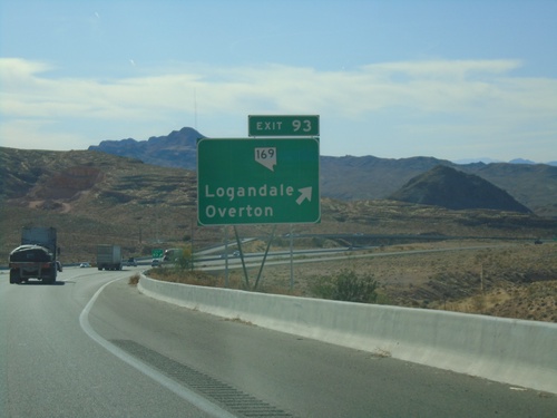
End NV-169 North at I-15 (Exit 93). Use I-15 North for Salt Lake City (Utah); I-15 South for Las Vegas.
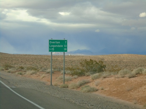
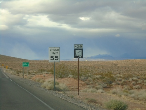
Begin NV-169 Northbound
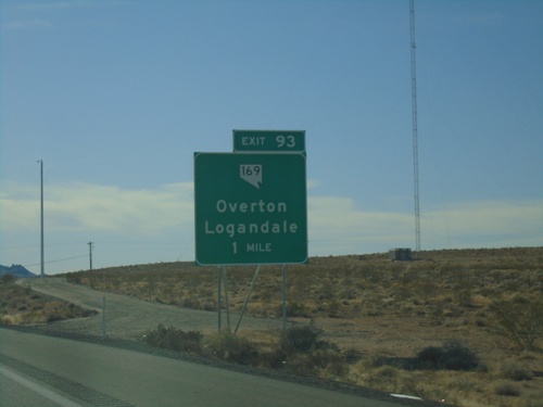
Distance marker at beginning of NV-169 northbound. Distance to Overton, Logandale, and I-15.
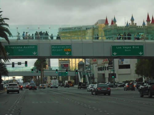
Las Vegas Blvd. South at Tropicana Ave.
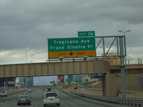
Las Vegas Blvd. South at Tropicana Ave (NV-593). Use left lane for Tropicana Ave. east. Use middle lane for McCarran International Airport. Use right lanes to continue south on Las Vegas Blvd.
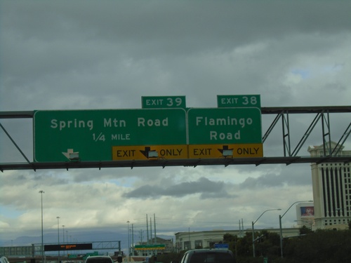
I-15 North - Exits 38 and 39
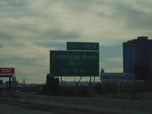
I-15 north approaching Exit 38 - Flamingo Road. Approaching Exit 39 - Spring Mountain Road.
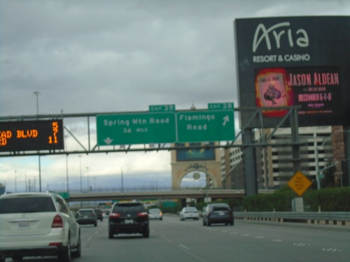
I-15 North - Exits 38 and 39
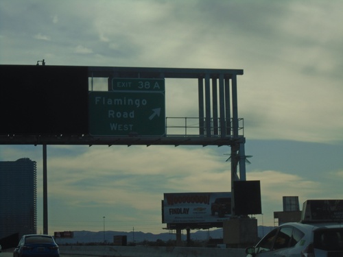
I-15 north at Exit 38 - Flamingo Road. Approaching Exit 39 - Spring Mountain Road.
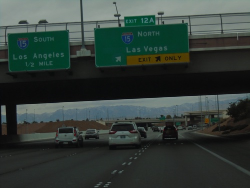
I-215 West Approaching I-15
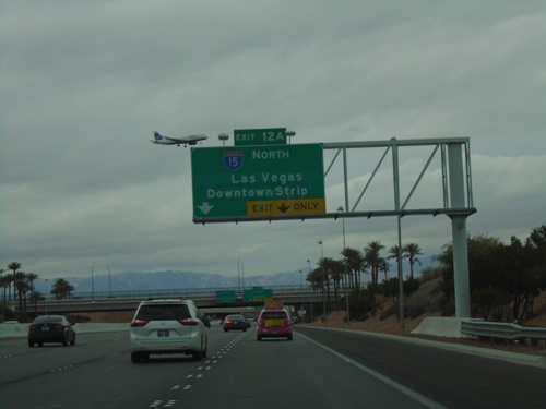
I-215 West approaching I-15. Use Exit 12A for I-15 North/Las Vegas. Approaching I-15 South/Los Angeles (California).
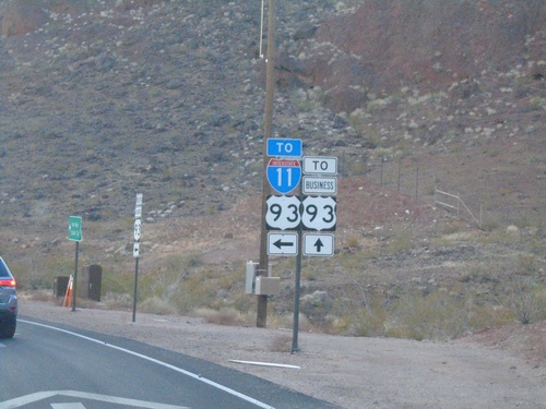
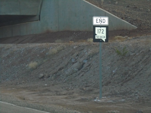
End NV-172 West at I-11/US-93/Bus. US-93
End NV-172 West at I-11/US-93/Bus. US-93 junction. Turn left for I-11/US-93 (Exit 2); continue straight for Bus. US-93
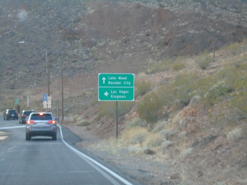
End NV-172 West at I-11/US-93/Bus. US-93
End NV-172 West at I-11/US-93/Bus. US-93. Continue straight for Bus. US-93 to Lake Mead and Boulder City. Turn left for I-11/US-93 for Las Vegas and Kingman (Arizona).
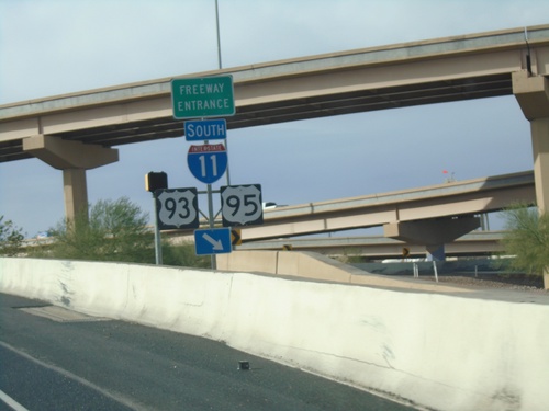
End NV-564 West at I-11/I-215
End NV-564 West at I-11/I-215 junction. Merge right for I-11/US-93/US-95 south. Continue west for I-215 west.
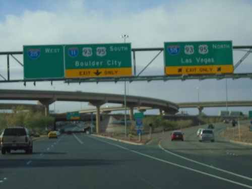
NV-564 West at I-11/I-215/I-515
Entrance ramp to I-515/US-93/US-95 North to Las Vegas and I-11/US-93/US-95 South to Boulder City. End of NV-564 (Lake Mead Pkwy) west and begin of I-215 westbound.
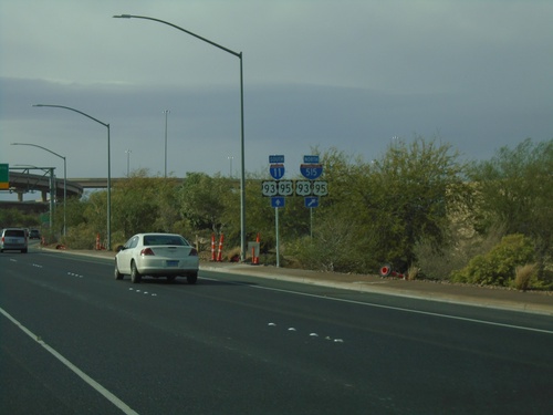
NV-564 West Approaching I-11/I-515/I-215/US-93/US-95
NV-564 West (Lake Mead Parkway) approaching I-11/I-515/I-215/US-93/US-95 in Henderson.
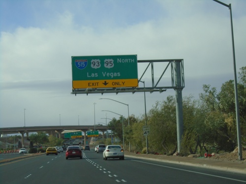
NV-564 West Approaching I-515/US-93/US-95 North
NV-564 West Approaching I-515/US-93/US-95 North to Las Vegas
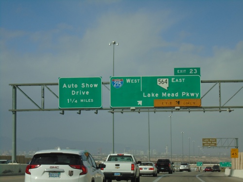
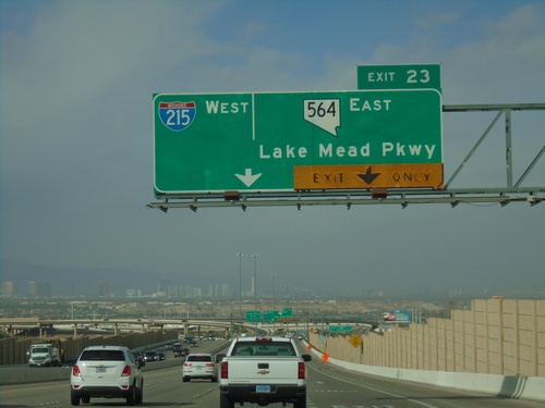
I-11 North - Exits 22 and Exit 62
I-11 north approaching Exit 22 - I-215 West/NV-564/Lake Mead Parkway. Approaching I-515 Exit 62 - Auto Show Drive. This is the north end of I-11. US-93 and US-95 join I-515 northbound. I-515 begins here northbound.
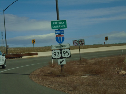
US-95 North at I-11/US-93
US-95 North at I-11/US-93 (Exit 14) in Boulder City. Merge right for I-11/US-93/US-95 north onramp. US-95 joins US-93 north to I-15 in Las Vegas.
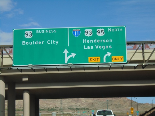
US-95 North at I-11/US-93/NV-173
US-95 North at I-11/US-93/US-95 North/Henderson/Las Vegas. Continue north for NV-173 to Bus. US-93/Boulder City.
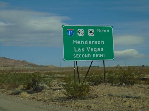
US-95 North Approaching I-11/US-93 North
US-95 North approaching I-11/US-93 North to Henderson and Las Vegas (Exit 14).
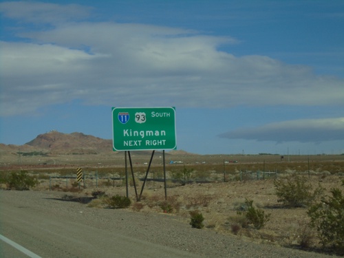
US-95 North Approaching I-11/US-93 South
US-95 North approaching I-11/US-93 South (Exit 14) to Kingman (Arizona)
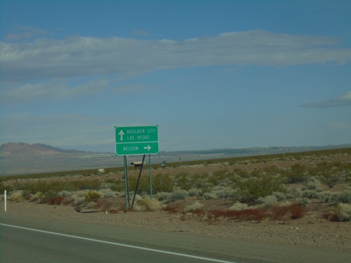
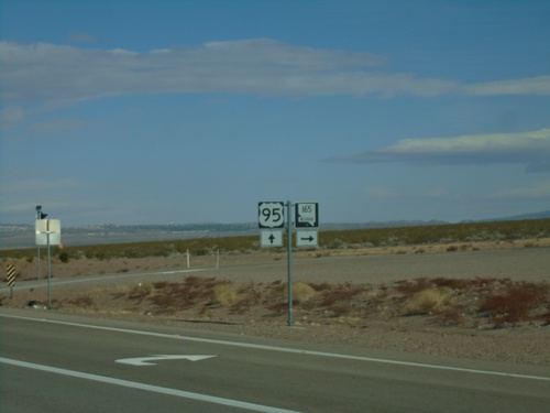
US-95 North Approaching NV-165
US-95 North approaching NV-165 east to Nelson. Continue north on US-95 for Boulder City and Las Vegas.
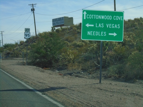
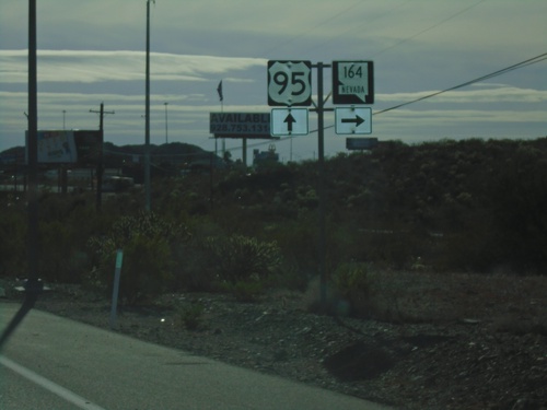
End NV-164 East at US-95
End NV-164 East at US-95 in Searchlight. Turn right for US-95 south to Needles (CA); left for US-95 north to Las Vegas. Continue straight for Cottonwood Cove Road to Cottonwood Cove.
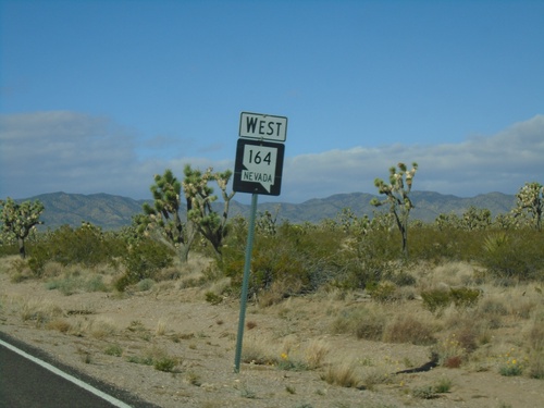
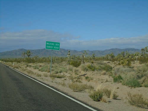
NV-164 West - Clark County
NV-164 west in Clark County. NV-164 between Searchlight and the California state line passes through a large Joshua Tree forest.
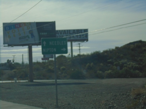
US-95 South at NV-164 West
US-95 South at NV-164 West to Nipton (California). Continue south on US-95 for Needles (California).
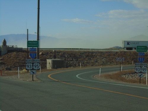
End NV-173 South at I-11/US-93/US-95 North
End NV-173 South at I-11/US-93/US-95 North (Exit 14) onramp. Roadway turns into US-95 southbound.
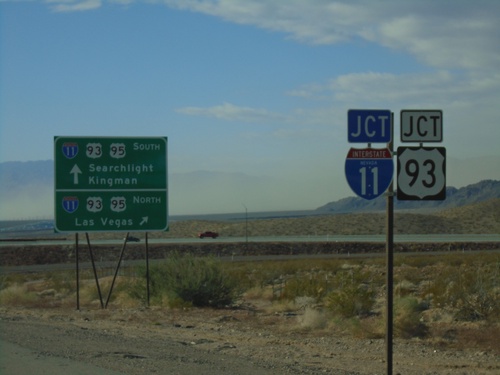
End NV-173 South at I-11/US-93/US-95
End NV-173 South at I-11/US-93/US-95 in Boulder City. Use I-11/US-93/US-95 north for Las Vegas; use I-11/US-93 South for Kingman (Arizona); use US-95 south for Searchlight.
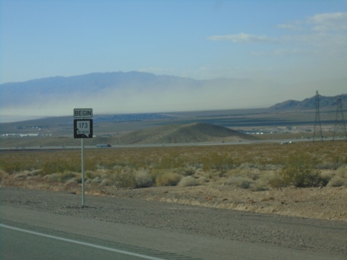
Begin NV-173 South - Boulder City
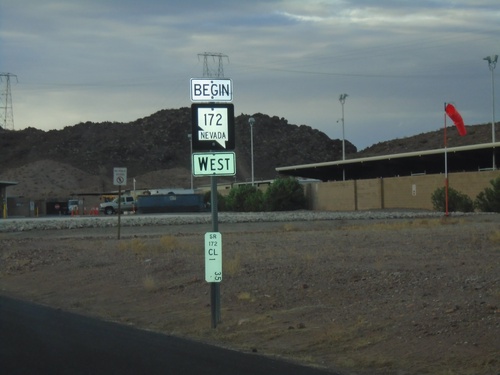
Begin NV-173 south in Boulder City. NV-173 is a short highway that follows the former route of US-95 between Bus. US-93 and I-11 in Boulder City.
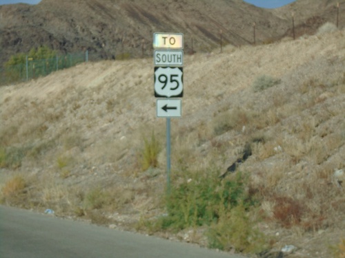
Bus. US-93 North at NV-173 to US-95 South
Bus. US-93 North at NV-173 to US-95 South in Boulder City. Turn left for access to US-95. This is the former intersection of US-93 and US-95, before being re-routed with the construction of I-11.
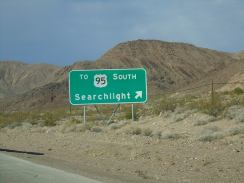
Bus. US-93 North at NV-173
Bus. US-93 North at NV-173 in Boulder City. Use exit for TO US-95 South/Searchlight. This was the former intersection of US-93 and US-95, which was moved south a short distance with the construction of I-11. A short connector highway, NV-173, connects this intersection with US-95 at I-11.
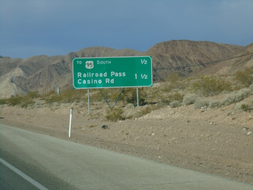
Bus. US-93 North - Distance Marker
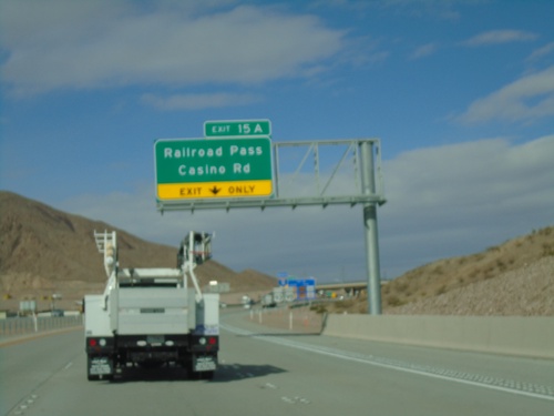
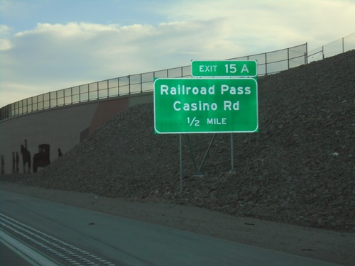
Distance marker on Bus. US-93 north in Boulder City. Distance to US-95 South and Railroad Pass Casino Road
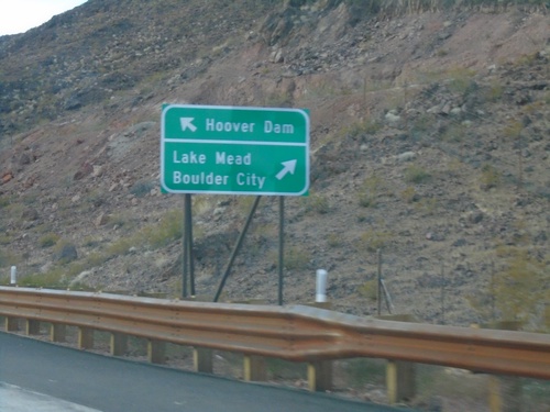
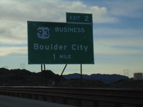
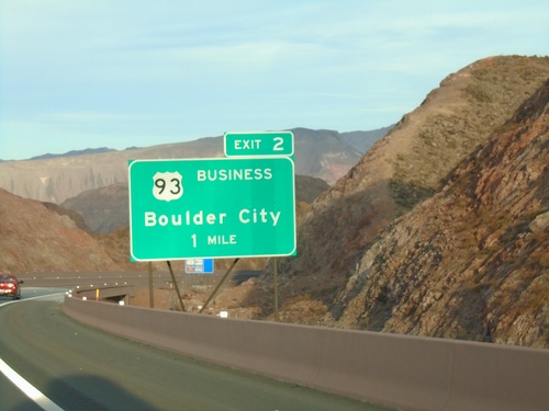
I-11 North - Exit 2 Offramp
I-11 north at Exit 2 offramp. Merge left for NV-172 to Hoover Dam. Merge right for Bus. US-93 North to Boulder City and Lake Mead.
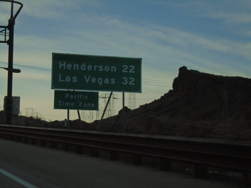
I-11 North - Distance Marker / Pacific Time
First distance marker on I-11 north in Nevada. Distance to Henderson and Las Vegas. Entering Pacific Time Zone.
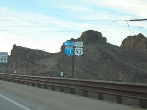
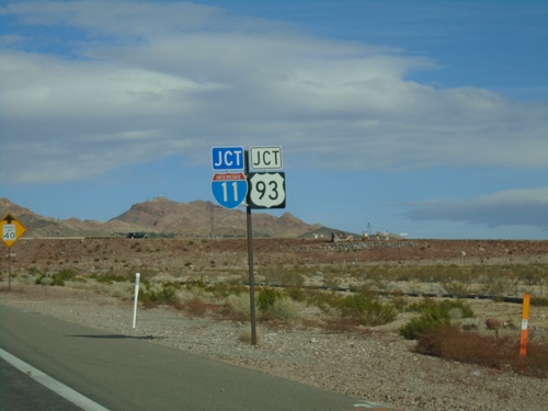
I-11 North/US-93 North
First I-11 North/US-93 North shield northbound in Nevada. This is the beginning of I-11 northbound.
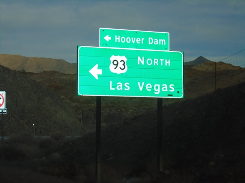
Kingman Wash Access Road at US-93 North
Kingman Wash Access Road at US-93 North to Las Vegas (Nevada) and Hoover Dam.
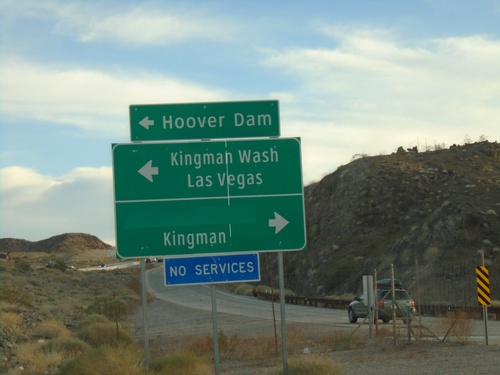
US-93 South - Exit 2 Offramp at Kingman Wash Road
US-93 South - Exit 2 offramp at Kingman Wash Road. Turn left for Kingman Wash, Hoover Dam, and Las Vegas (NV). Turn right for Kingman (via US-93 south). Access to Hoover Dam involves crossing back into Nevada to Exit 2, and then returning back to the dam.
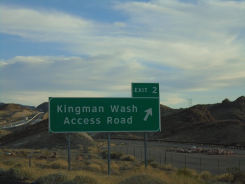
US-93 South - Exit 2
US-93 south at Exit 2 - Kingman Wash Access Road. Kingman Wash Access Road is the former route of US-93 across the Hoover Dam.
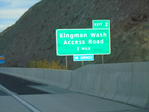
US-93 South - Exit 2
US-93 south approaching Exit 2 - Kingman Wash Access Road. Kingman Wash Access Road is the former routing of US-93. The Arizona welcome sign is partially visible in the background of the photo.
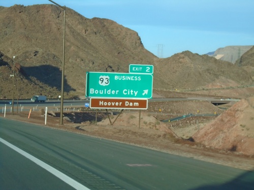
I-11 South - Exit 2
I-11 south at Exit 2 - US-93 Business/Boulder City. Access to Hoover Dam. This is the last exit on I-11 southbound in Nevada.
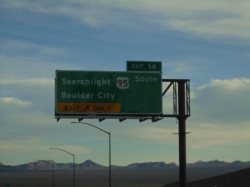
I-11 South - Exit 14
I-15 south at Exit 14 - US-95 South/Boulder City/Searchlight. US-95 south leaves I-11/US-93 here. Northbound US-95 joins US-93 north to I-15.
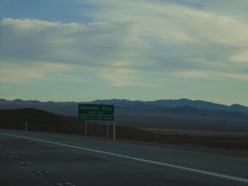
I-11 South - Boulder City Next Exit
I-11 south approaching Exit 14. Use Exit 14 for Boulder City. Next exit is 12 miles.
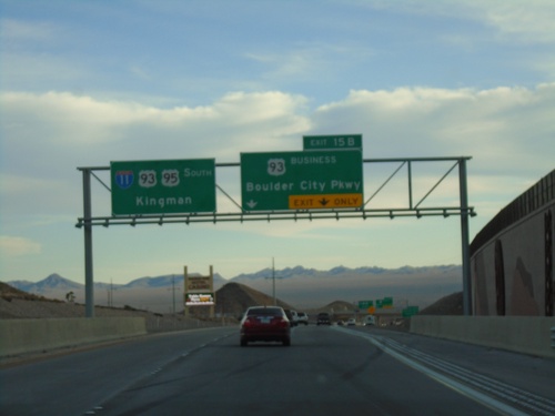
I-11 South - Exit 15B
I-11 south approaching Exit 15B - Bus. US-93/Boulder City Parkway. I-11/US-93/US-95 continues south towards Kingman (Arizona).
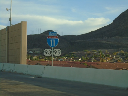
I-11/US-93/US-95 South - Henderson
I-11/US-93/US-95 South in Henderson. This is the first I-11 shield southbound and one of the few containing the text NEVADA.
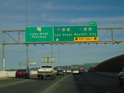
End I-215 East at I-515/I-11
End I-215 East at I-515/I-11 in Henderson. Use Exit 1 for I-11/US-93/US-95 South/Boulder City and I-515/US-93/US-95 North/Las Vegas. Roadway becomes NV-564/Lake Mead Parkway.
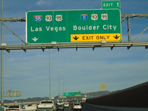
End I-215 East - Exit 1
I-215 east approaching Exit 1 - I-515/US-93/US-95/Las Vegas and I-11/US-93/US-95/Boulder City. This is the east end of I-215. The roadway continues as Lake Mead Parkway/NV-564.
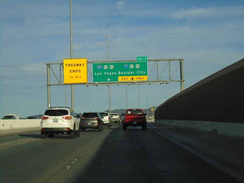
I-215 East Approaching Exit 1
I-215 east approaching Exit 1 - I-11/US-93/US-95 South/Boulder City and I-515/US-93/US-95 North/Las Vegas. Freeway ends after Exit 1 and roadway becomes NV-564/Lake Mead Parkway
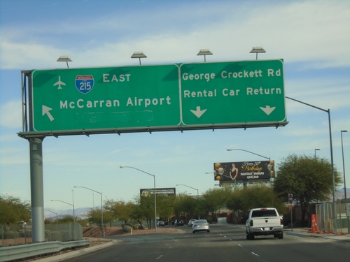
George Crockett Road East at I-215
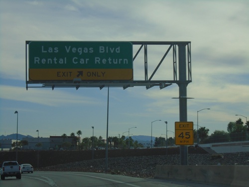
George Crockett Road East at I-215 onramp. Use I-215 East for McCarran Airport. Continue east on George Crockett Road for Rental Car Return.
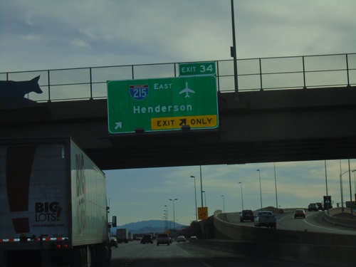
I-15 South - Exit 34
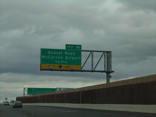
I-15 south at Exit 34 - I-215 East/Henderson. Use I-215 east for McCarran International Airport.
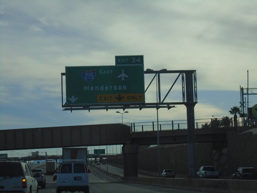
I-15 South - Exit 34
I-15 south approaching Exit 34 - I-215 East/Henderson. Use Exit 34 for the McCarran International Airport.
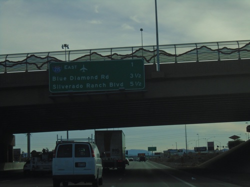
I-15 South - Next 3 Exits
Next 3 exits on I-15 south in Las Vegas area. I-215 East, Blue Diamond Road, Silverado Ranch Road
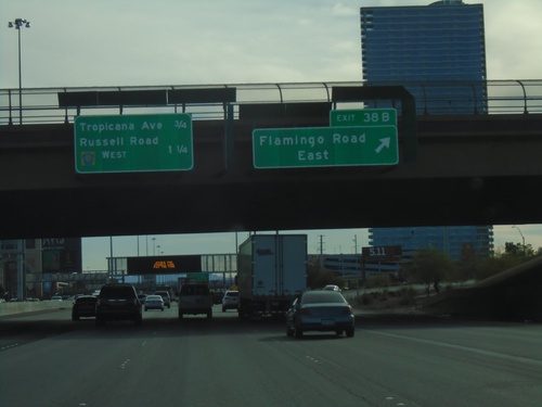
I-15 South - Exit 38B
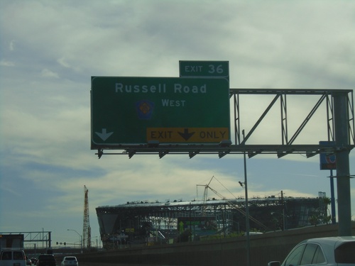
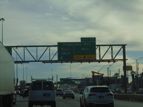
I-15 south at Exit 38B - Flamingo Road East. Approaching Tropicana Ave., and Russell Road/CR-215 West.
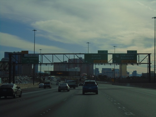
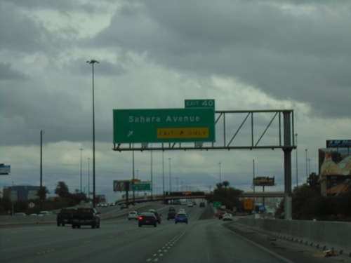
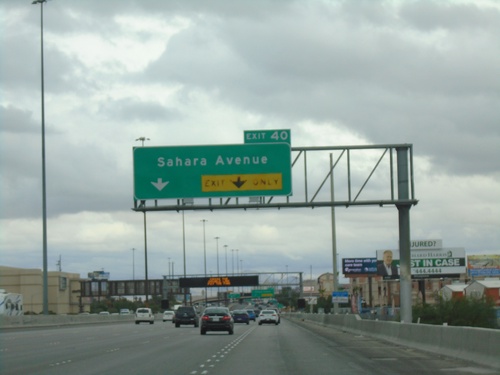
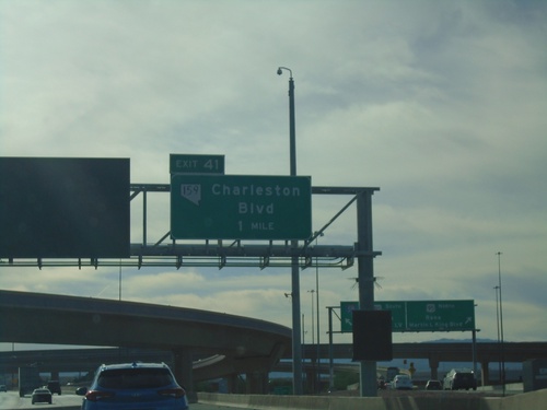
I-15 South - Exits 41, 40, and Neon Gateway
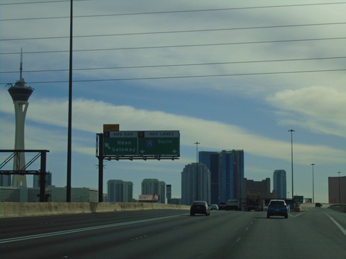
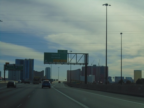
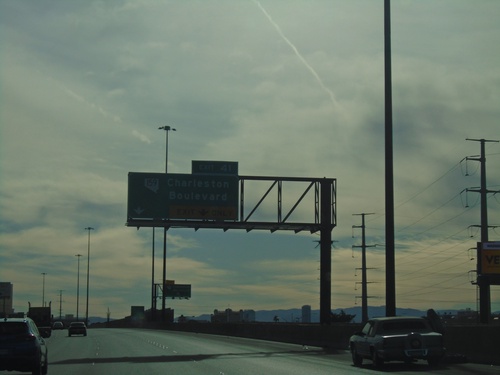
I-15 South at Exits 41 - NV-159/Charleston Blvd. Approaching Exit 40 - Sahara Ave. Approaching Neon Gateway (left HOV exit).
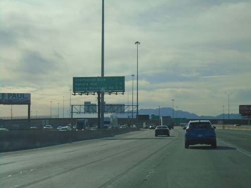
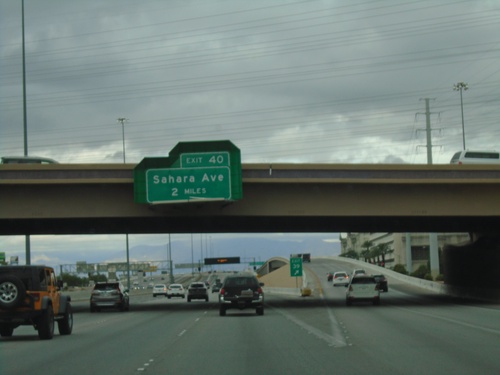
I-15 South - Las Vegas Exits
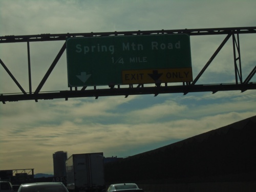
Las Vegas exits on I-15 south. Next 3 exits - Charleston Ave., Sahara Ave., Spring Mountain Road.
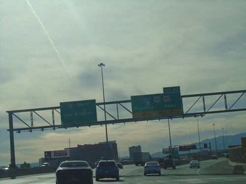
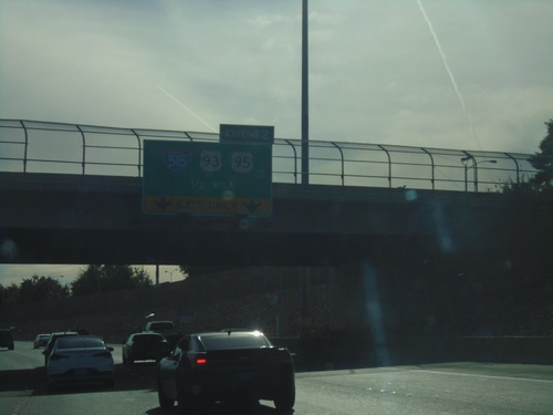
I-15 South - Exit 42
I-15 south at Exit 42 - I-515/US-93/US-95/Phoenix (AZ)/Reno. US-93 leaves I-15 southbound here. I-15 continues south to Los Angeles (CA).
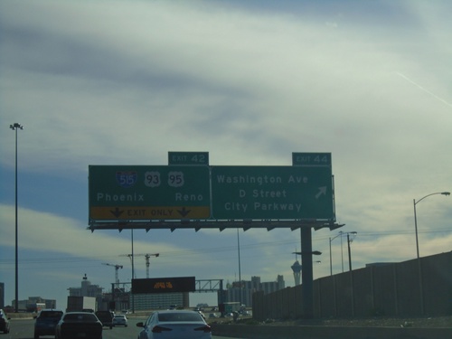
I-15 South - Exits 44 and 42
I-15 south at Exit 44 - Washington Ave./D St./City Parkway. Approaching Exit 42 - I-515/US-93/US-95.
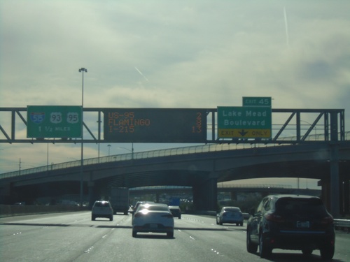
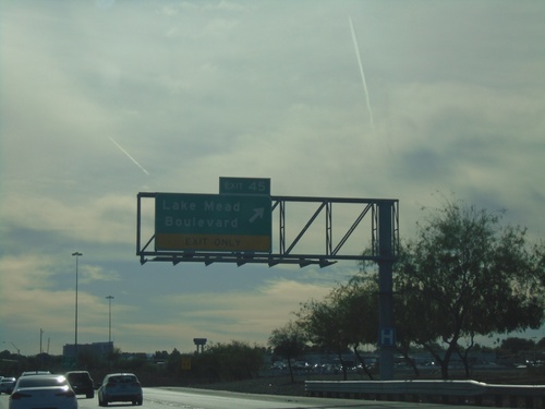
I-15 South - Exits 45 and 42
I-15 south approaching Exit 45 - Lake Mead Blvd. Approaching Exit 45 - I-515/US-93/US-95.
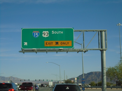
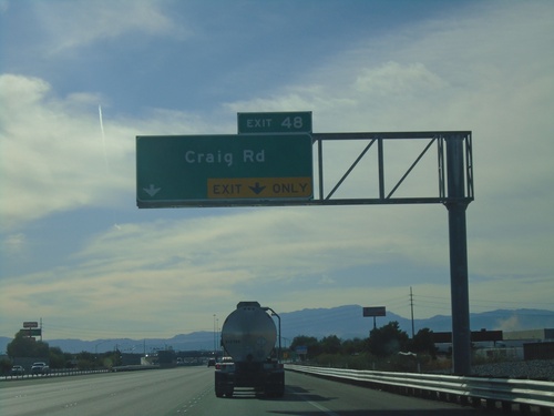
Craig Road East at I-15/US-93 South Onramp
Craig Road East (NV-573) at I-15/US-93 South onramp (Exit 48)
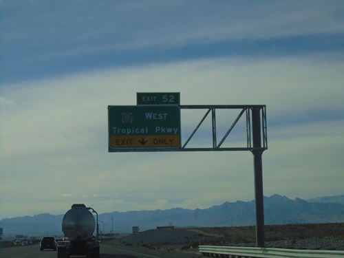
I-15 South - Exit 52
I-15 south approaching Exit 52 - CR-215/Tropical Parkway. This is the north end of the Las Vegas Beltway.
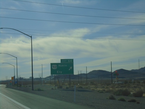
I-15 South - Exit 64
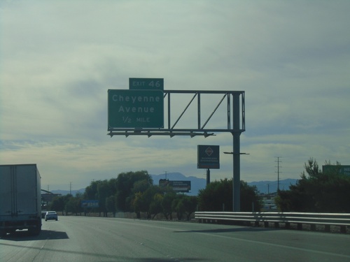
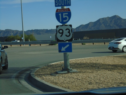
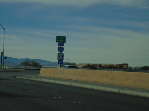
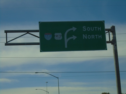
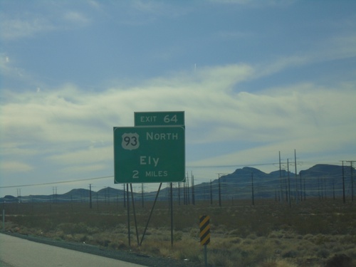
I-15 south approaching Exit 64 - US-93 North/Ely. US-93 south joins I-15 south to Las Vegas.
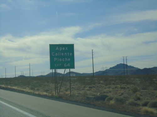
I-15 South - Exit 64
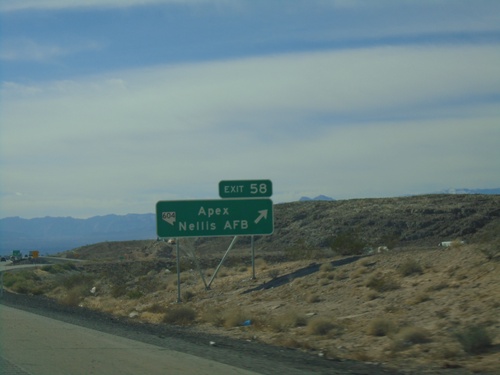
I-15 south approaching Exit 64 - US-93 North. Use Exit 64 for Apex, Caliente, and Pioche.
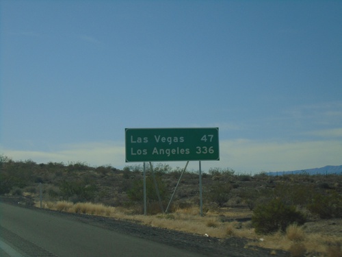
I-15 South - Distance Marker
Distance marker on I-15 south. Distance to Las Vegas and Los Angeles (CA). This is the first appearance of Los Angeles on a distance marker on I-15 southbound.
I-15 South - Distance Marker
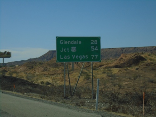
Distance marker on I-15 south. Distance to Glendale, Jct. US-93, and Las Vegas.
I-15 South - Exit 120
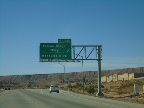
I-15 south at Exit 120 - Falcon Ridge Parkway/Mesquite Blvd. This is the southern end of the Mesquite business loop.
I-15 South - Exit 120
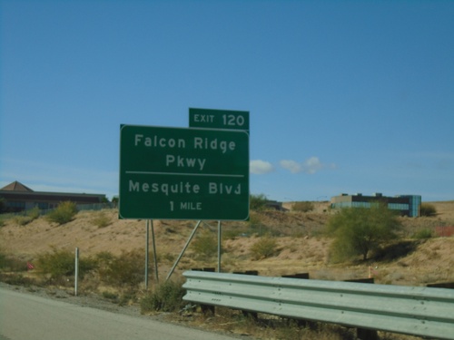
I-15 south approaching Exit 120 - Falcon Ridge Parkway/Mesquite Blvd. This is the south end of the Mesquite business loop.
I-15 South - Exit 122
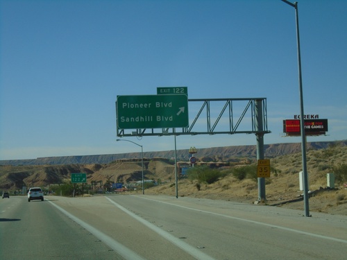
I-15 south at Exit 122 - Pioneer Blvd./Sandhill Blvd. This is the first exit in Nevada on I-15 southbound. This is also the northern end of the Mesquite Business Loop.
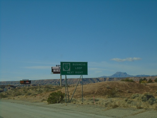
I-15 South - BL-15 Next Right
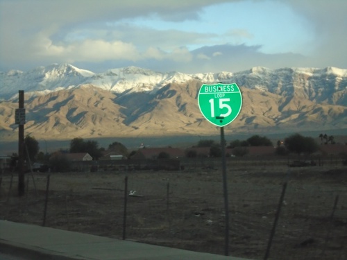
I-15 south approaching Exit 122. Use Exit 122 for BL-15 and Nevada Welcome Center. This is the north end of the Mesquite Business Loop.
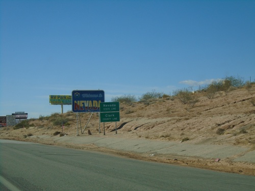
I-15 South - Welcome To Nevada
Welcome To Nevada on I-15 south. Taken at the Nevada-Arizona State Line. The green Nevada State Line sign in the foreground was placed by the Arizona DOT.
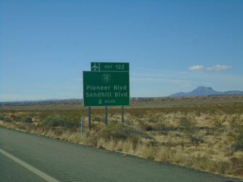
I-15 South Approaching Exit 122
I-15 south approaching Exit 122 (Nevada) - BL-15/Pioneer Blvd/Sandhill Blvd. BL-15 is not signed on the actual interchange within Nevada.
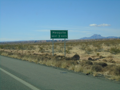
I-15 South - Mesquite Next Three Exits
Mesquite (Nevada) Next Three Exits on I-15 south. This was taken on the Arizona side of the border.
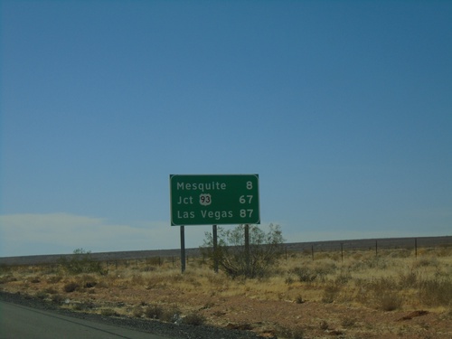
I-15 South - Distance Marker
Distance marker on I-15 south. Distance to Mesquite, Jct. US-93, and Las Vegas. All destinations are in Nevada. This is the last distance marker southbound on I-15 in Arizona.
I-15 South Approaching Exits 9 and 8
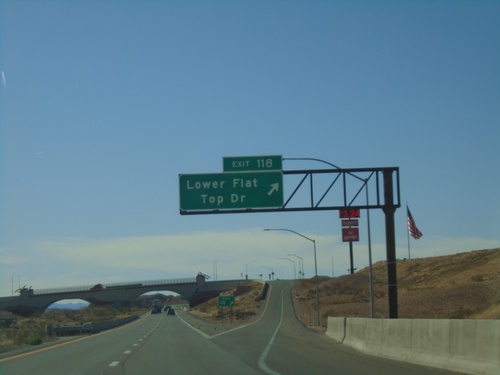
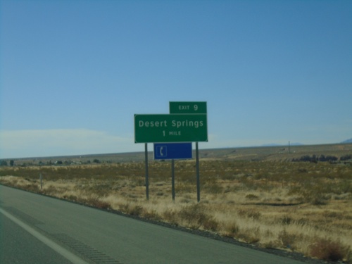
I-15 south approaching Exit 9 - Desert Springs and approaching Exit 8 - Littlefield/Beaver Dam.
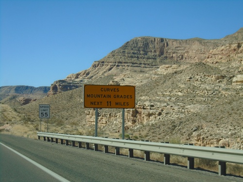
I-15 South - Curves/Mountain Grades
Entering Virgin River Gorge on I-15 south. Curves/Mountain Grades Next 11 Miles.
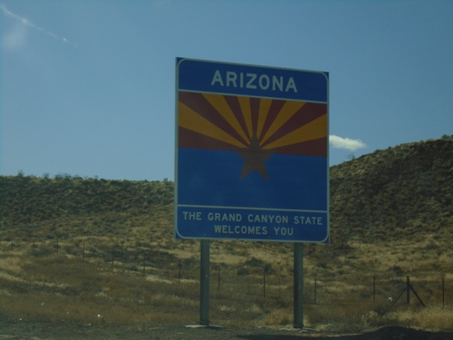
I-15 South - Welcome To Arizona
Welcome to Arizona on I-15 south at the Arizona-Utah Border. The sign reads Arizona: The Grand Canyon State Welcomes You.
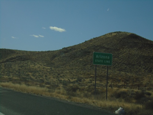
I-15 South - Arizona State Line
I-15 south - Arizona State Line. Taken at the Arizona-Utah state line.
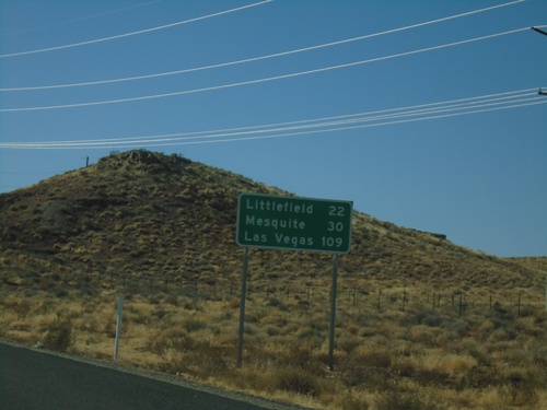
I-15 South - Distance Marker
Distance marker on I-15 south. Distance to Littlefield, Mesquite (Nevada), Las Vegas (Nevada). This is the first distance marker southbound along I-15 in Arizona.
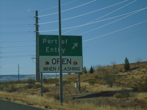
I-15 South - Port of Entry
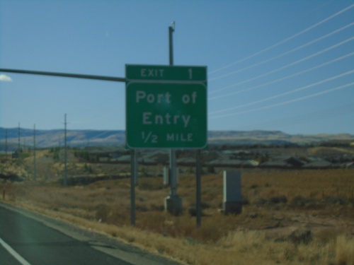
I-15 south at Port of Entry. This Port of Entry is for Arizona, although it is located across the line in Utah.
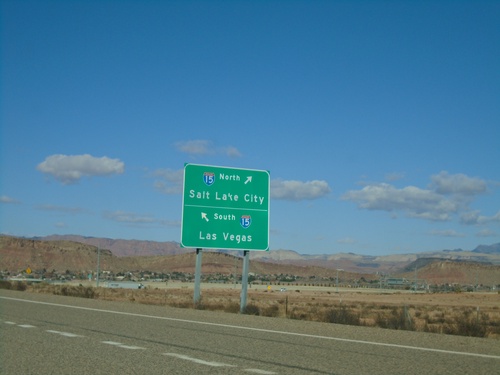
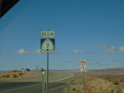
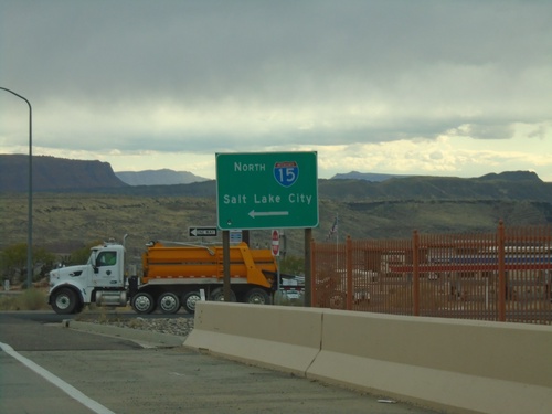
End UT-7 at I-15
End UT-7 at I-15 (Exit 2). Turn right for I-15 north to Salt Lake City; left for I-15 south to Las Vegas (Nevada). This is the western end of the Southern Parkway.
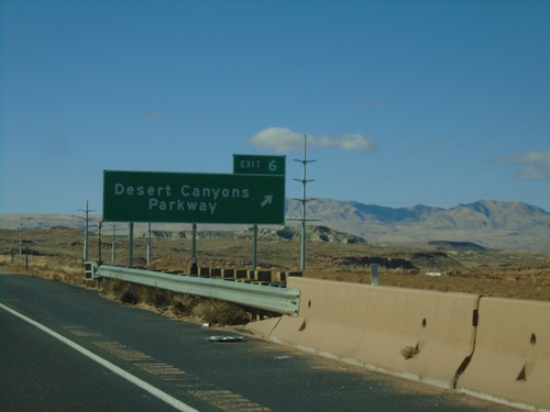
UT-7 West - Exit 6
UT-7 west at Exit 6 - Desert Canyons Parkway. UT-7 becomes a 4 lane freeway after this interchange westbound.
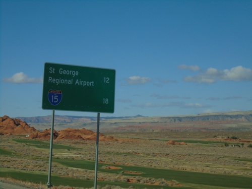
UT-7 West - Distance Marker
Distance marker on UT-7 west. Distance to St. George Regional Airport and I-15.
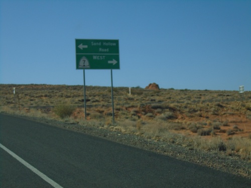
Sand Hollow Road at UT-7 West
Sand Hollow Road at UT-7 west. Turn right for UT-7 west; left to continue on Sand Hollow Road.
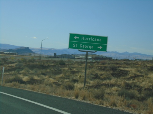
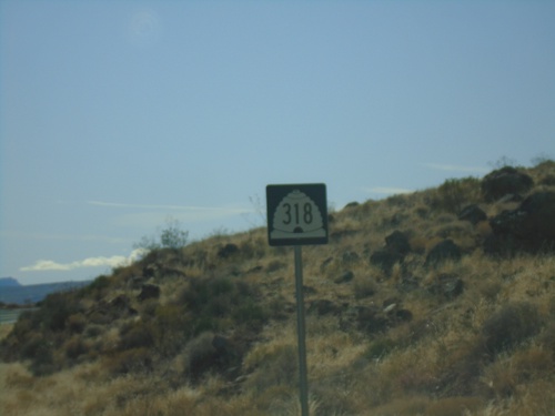
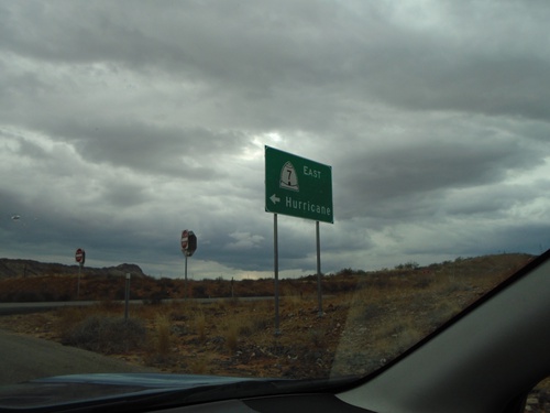
End UT-318 South at UT-9
End UT-318 South at UT-9. Turn left for UT-9 east to Hurricane; right for UT-9 west to St. George (via I-15).
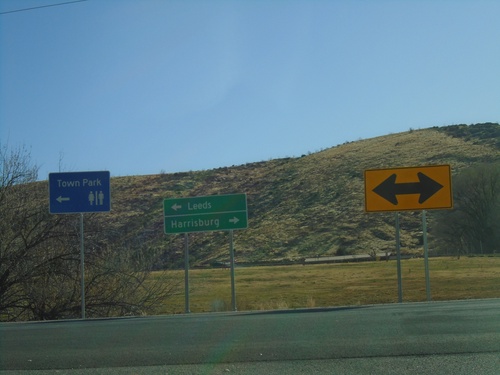
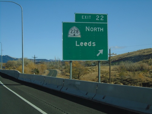
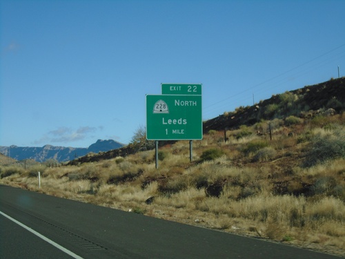
I-15 North Exit 22 at UT-228
I-15 North Exit 22 at UT-228 in Leeds. Turn left for UT-228 north to Leeds; turn right for county road south to Harrisburg.
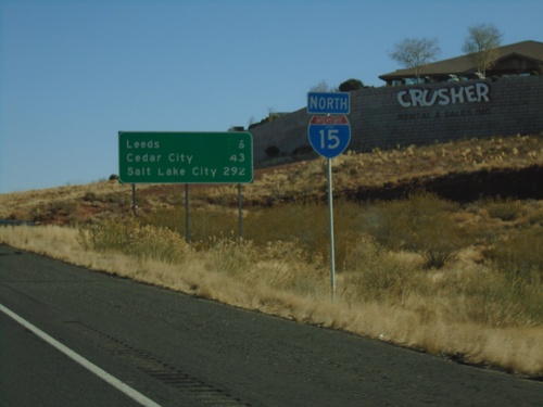
I-15 North - Distance Marker
Distance marker and I-15 shield on I-15 North. Distance to Leeds, Cedar City, and Salt Lake City.
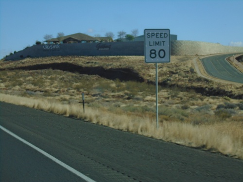
I-15 North - Speed Limit 80
Speed Limit 80 MPH on I-15 north. This is the starting of the 80 MPH zone northbound in Utah.
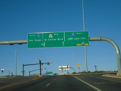
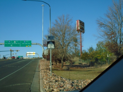
UT-34 West at I-15
UT-34 West at I-15 (Exit 8) in St. George. Turn right for I-15 North/Salt Lake City; continue west on UT-34 for St. George Blvd. Use I-15 south for Las Vegas (NV). This is a diverging diamond interchange.
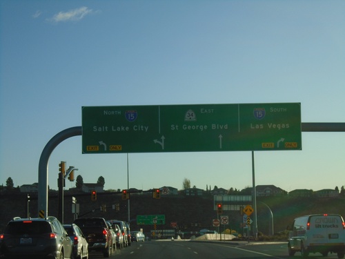
UT-34 East at I-15 (Exit 8)
UT-34 East at I-15 (Exit 8) in St. George. Use I-15 South for Las Vegas (NV), I-15 North for Salt Lake City. Continue east on UT-34 for St. George Blvd. This intersection at I-15 and UT is a diverging diamond type of interchange.
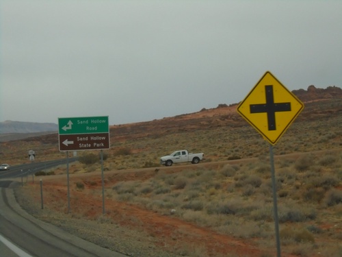
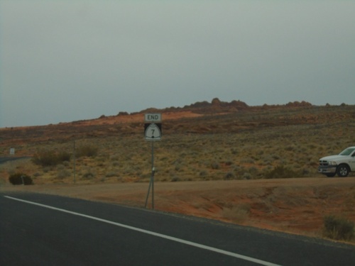
End UT-7 at Sand Hollow Road
End UT-7 (Southern Parkway) at Sand Hollow Road. Turn left on Sand Hollow Road for Sand Hollow State Park.
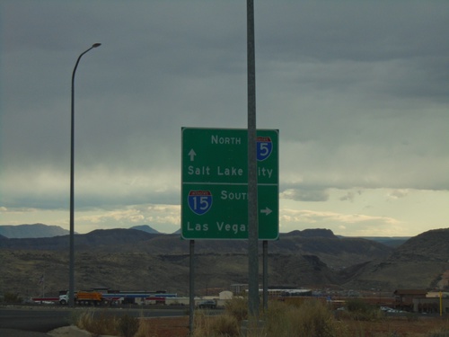
Washington Parkway at I-15
Washington Parkway at I-15 (Exit 13). Use I-15 south for Las Vegas (Nevada); I-15 north for Salt Lake City.
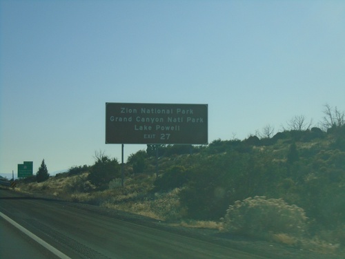
I-15 South - Exit 27
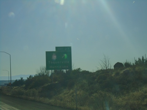
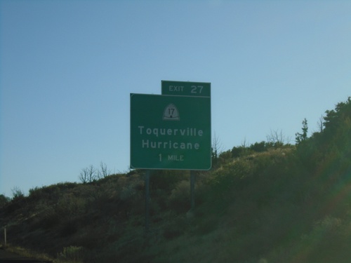
I-15 south approaching Exit 27. Use Exit 27 for Zion National Park, Grand Canyon National Park, and Lake Powell
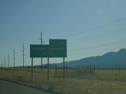
I-15 South - Exit 40
I-15 south approaching Exit 40 - Kolob Canyons. Access to the Kolob Canyons area of Zion National Park from this exit.
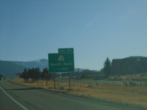
I-15 South - Exit 57
I-15 south approaching Exit 57 - UT-130/South Main. This is the south end of the Cedar City business loop.
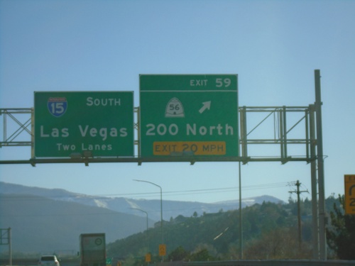
I-15 South - Exit 59
I-15 south at Exit 59 - UT-56/200 North. I-15 continues south to Las Vegas (Nevada).
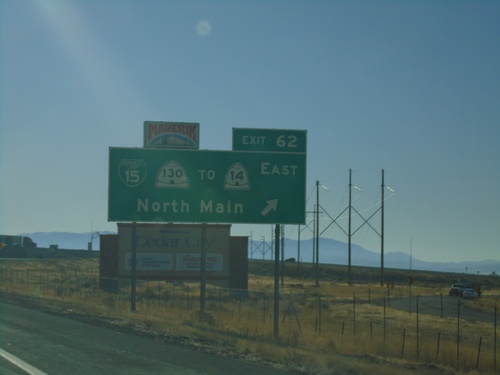
I-15 South - Exit 62
I-15 south at Exit 62 - BL-15/UT-130/To UT-14 East/North Main. This is the north end of the Cedar City business loop.
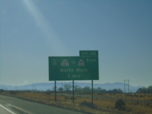
I-15 South - Exit 62
I-15 south approaching Exit 62 - BL-15/UT-130/To UT-14 East/North Main. This is the north end of the Cedar City business loop.
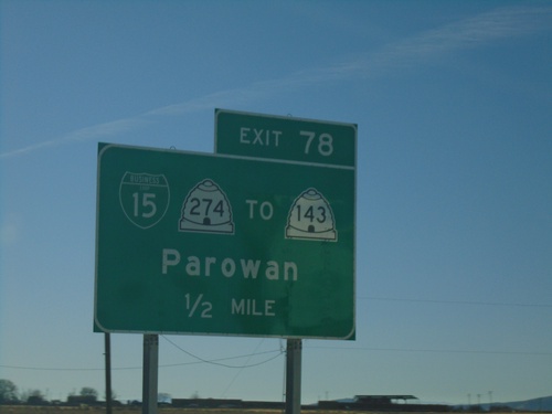
I-15 South - Exit 78
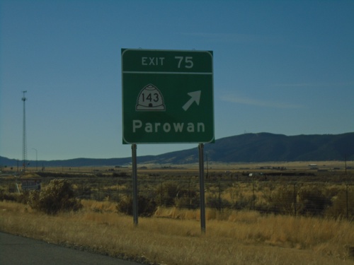
I-15 south approaching Exit 78 - BL-15/UT-274/To UT-143/Parowan. This is the northern end of the Parowan business loop.
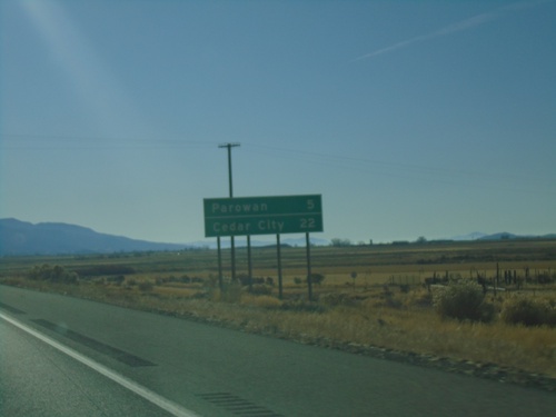
I-15 South - Distance Marker
Distance marker on I-15 south. Distance to Parowan and Cedar City. This is the older type of distance marker with horizontal lines between each destination.
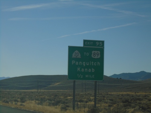
I-15 South - Exit 95
I-15 south at Exit 95 - UT-20/To US-89/Panguitch/Kanab. UT-20 is a short highway that connects I-15 with US-89.
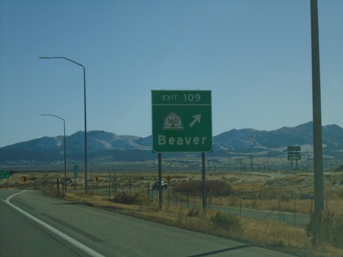
I-15 South - Exit 109
I-15 south at Exit 109 - UT-160/Beaver. This is the south end of the Beaver business loop.
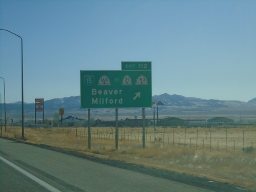
I-15 South - Exit 112
I-15 south at Exit 112 - BL-15/UT-160/To UT-21/To UT-153/Beaver/Milford. This is the northern end of the Beaver business loop.
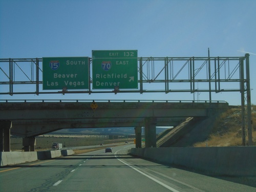
I-15 South - Exit 132
I-15 south at Exit 132 - I-70 East/Richfield/Denver(Colorado) . I-15 continues south to Beaver and Las Vegas (Nevada). This is the western end of I-70.
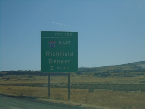
I-15 South - Exit 132
I-15 south approaching Exit 132 - I-70 East/Richfield/Denver (Colorado). This is the western terminus of I-70.
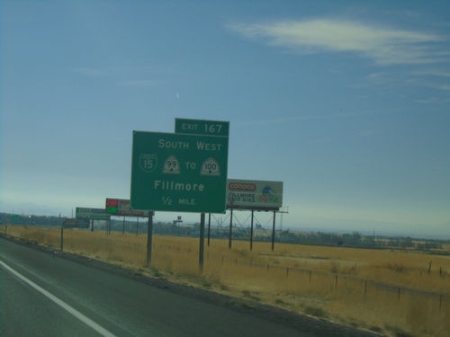
I-15 South - Exit 167
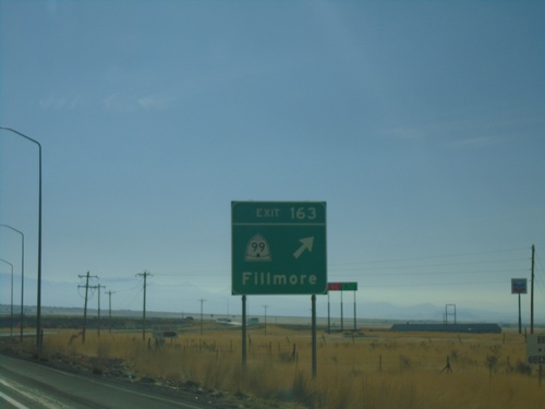
I-15 south approaching Exit 167 - Bus. I-15/UT-99 South/To UT-100 West/Fillmore
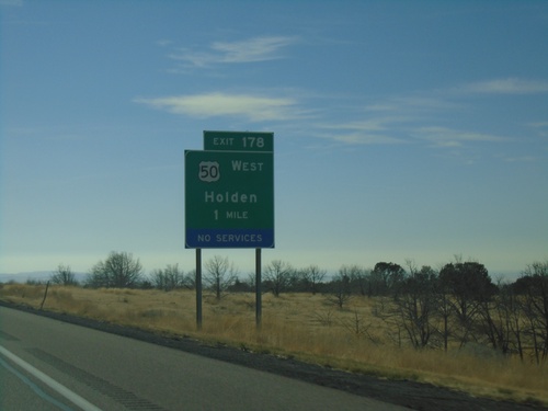
I-15 South - Exit 178
I-15 south approaching Exit 178 - US-50 West/Holden. US-50 leaves I-15 southbound here.
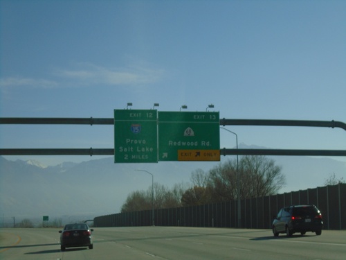
I-215 South - Exits 13 and 12
I-215 south at Exit 13 - UT-68/Redwood Road. Approaching Exit 12 - I-15/Salt Lake/Provo.
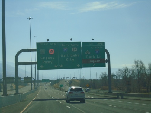
US-89 South - Exits 395 and 394 - Approaching I-15
US-89 South at Exit 395 - UT-225/To I-15 North/Park Lane/Lagoon. Approaching Exit 394 - (UT-67)/Legacy Parkway. US-89 joins I-15 southbound for Salt Lake City. Use Exit 395 for access to Lagoon Amusement Park.
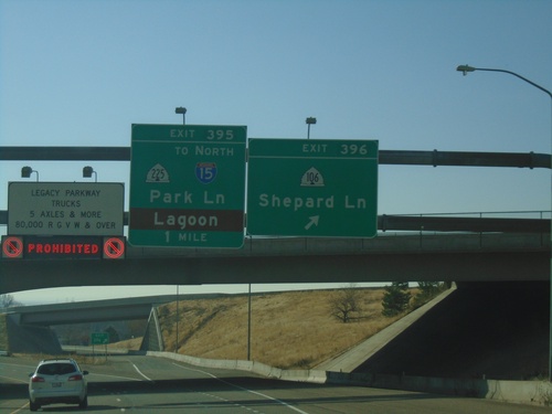
US-89 South - Exits 396 and 395
US-89 south at Exit 396 - UT-106/Shepard Lane. Approaching Exit 395 - UT-225/To I-15 North/Park Lane/Lagoon. On the left is a sign showing that trucks are prohibited on Legacy Parkway.
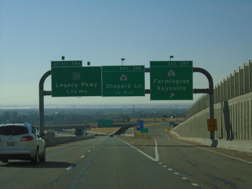
US-89 South - Exits 397, 396, and 394
US-89 South at Exit 397 - UT-273/Farmington/Kaysville. Approaching Exit 396 - UT-106/Shepard Lane. Approaching Exit 394 - (UT-67)/Legacy Parkway.
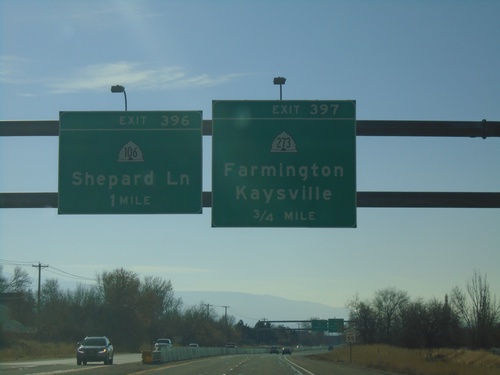
US-89 South - Exits 397 and 396
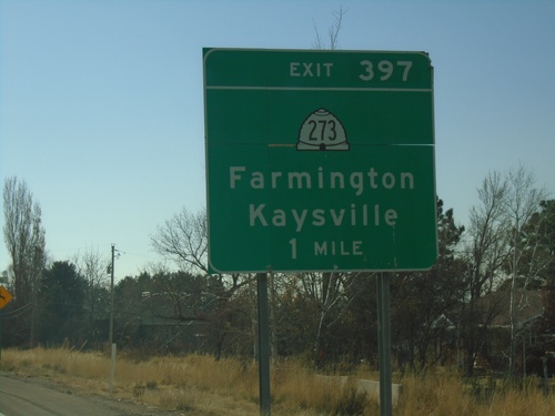
US-89 south approaching Exit 397 - UT-273/Farmington/Kaysville. Approaching Exit 396 - UT-106/Shepard Lane.
