Signs From April 2020
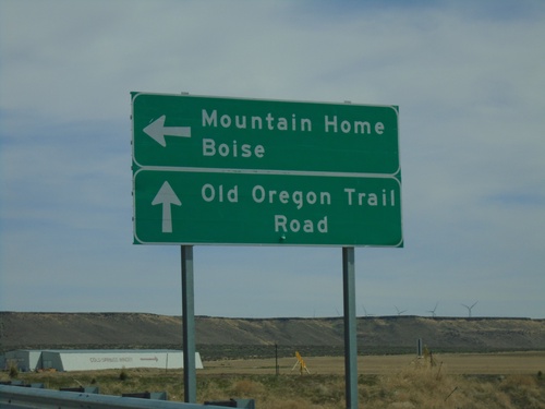
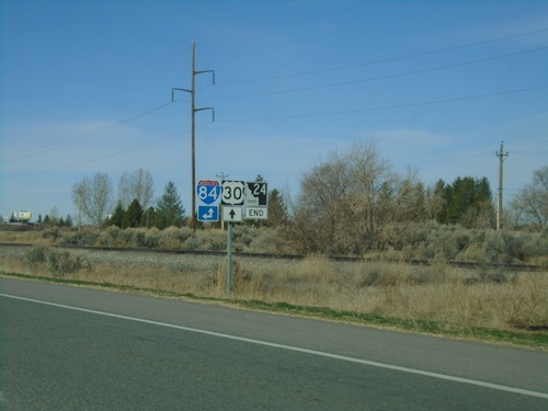
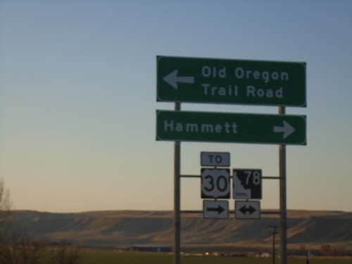
End ID-78 East at I-84 West
End ID-78 East at I-84 West. Use I-84 west for Mountain Home and Boise. Continue straight for Old Oregon Trail Road.
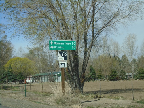
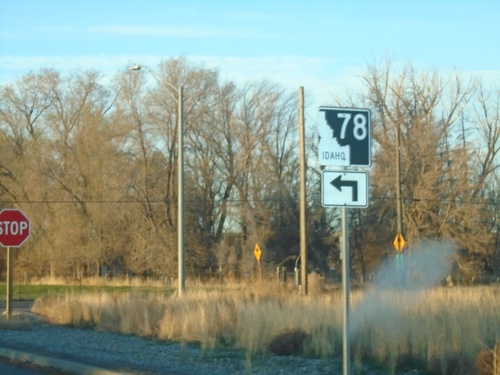
Old US-30 West Approaching ID-78
Old US-30 West approaching ID-78 in Hammett. Turn left for ID-78 west to Bruneau. Continue straight for ID-78 east to Mountain Home.
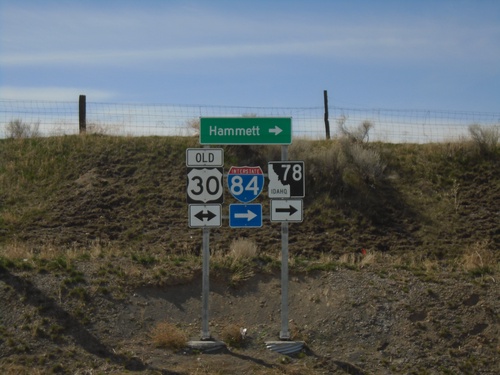
Cold Springs Road at Old US-30
Cold Springs Road at Old US-30. Turn right for ID-78, I-84, and Hammett.
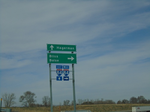
ID-46 Spur at I-84
End ID-46 Spur at I-84 (Exit 155). Use I-84 west for Bliss and Boise. Continue over freeway to continue on county road to Hagerman.
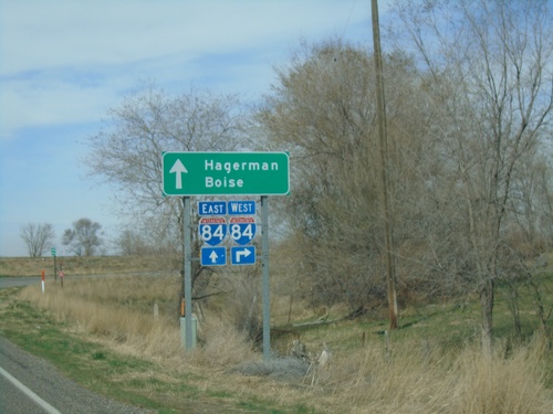
ID-46 (Spur) West at I-84
ID-46 (Spur) West at I-84 (Exit 155). Use I-84 west for Boise; continue over freeway for I-84 east and to Hagerman via East 2950 South.
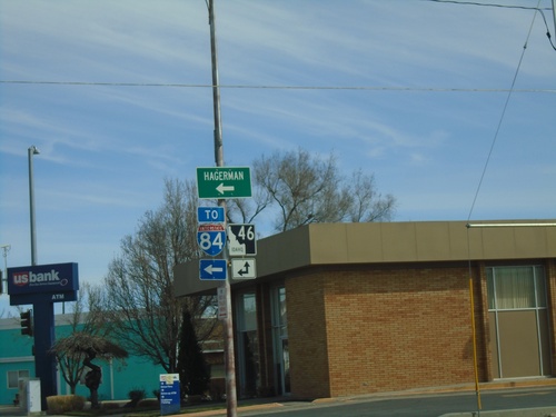
ID-46 North (Idaho St.) at ID-46 Spur to I-84
ID-46 North (Idaho St.) at ID-46 Spur (Main St.) to I-84 and Hagerman.
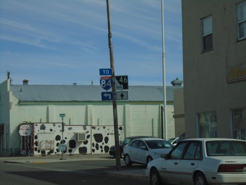
ID-46 North (Idaho St.) at ID-46 Spur to I-84
ID-46 North (Idaho St.) at ID-46 Spur (Main St.) to I-84.
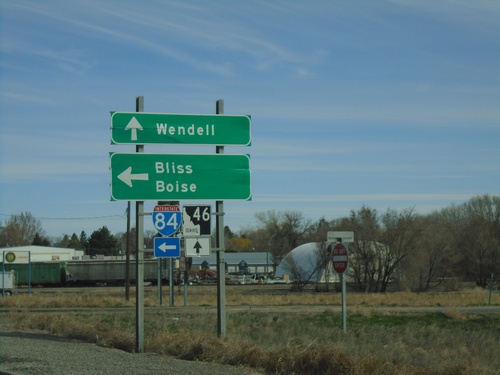
ID-46 North at I-84 West
ID-46 North at I-84 west to Boise and Bliss. Continue north on ID-46 for Wendell.
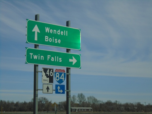
ID-46 North at I-84 Junction
ID-46 north at I-84 junction in Wendell. Use I-84 east to Twin Falls and I-84 west to Boise. Continue north on ID-46 for Wendell.
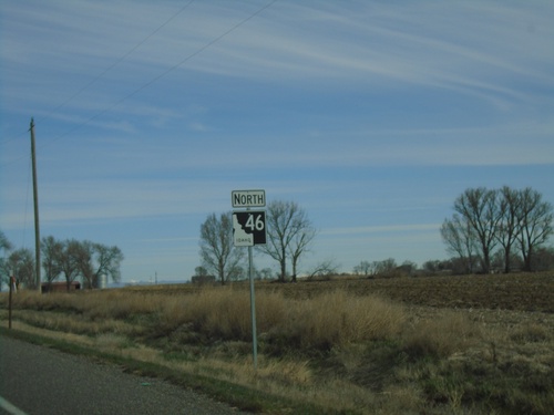
ID-46 North - Gooding County
ID-46 North in Gooding County. This is the first ID-46 shield northbound, about 10 miles north of its beginning in Buhl. The section between Wendell and Buhl was added to the state highway system in the last 5 years.
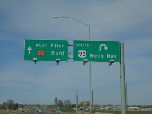
Bus. US-93 South/US-30 West at US-93 South
Bus. US-93 South/US-30 West at US-93. Exit for US-93 South to Wells, NV. Continue straight for US-30 west to Filer and Buhl.
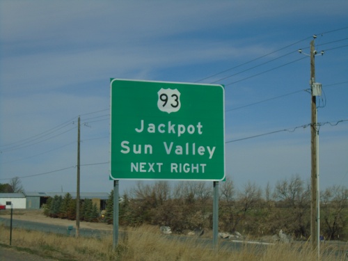
US-30 West/Bus. US-93 South at US-93 South
US-30 West/Bus. US-93 South at US-93. Use US-93 for Jackpot (NV) and Sun Valley.
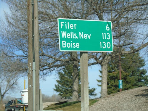
US-30 East/Bus. US-93 South - Distance Marker
Distance marker on US-30 East/Bus. US-93 South. Distance to Filer, Wells, Nev. (via US-93), and Boise.
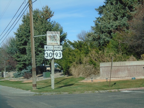
US-30 East/Bus. US-93 South - Thousand Springs Scenic Byway
US-30 East/Bus. US-93 South (Addison Ave.) - Thousand Springs Scenic Byway
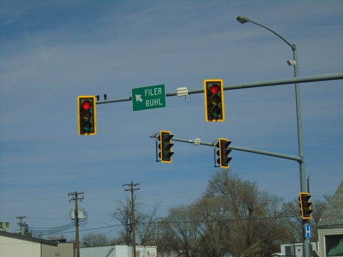
US-30 West at Bus. US-93 (Addison Ave.)
US-30 West (2nd Ave. North) at Bus. US-93 (Addison Ave.) in Twin Falls. Merge left for US-30 West and Bus. US-93 South to Filter and Buhl.
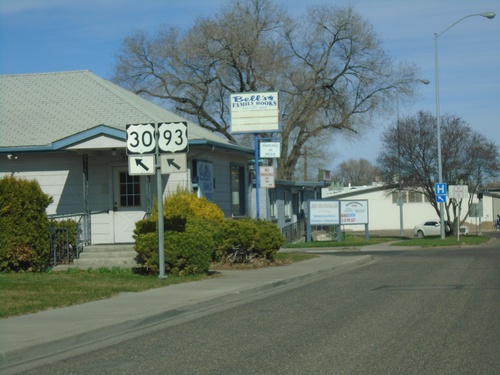
US-30 West Approaching Bus. US-93 (Addison Ave.)
US-30 West (2nd Ave. North) approaching Bus. US-93 (Addison Ave.) in Twin Falls. Merge left for US-30 West and Bus. US-93 South.
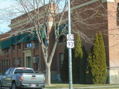
US-30 West Approaching (Bus.) US-93
US-30 West (2nd Ave. N) Approaching (Bus.) US-93 in Twin Falls. The stretch of US-93 through downtown Twin Falls was designated as Bus. US-93 when the main route was re-routed to the north and west of town. There is still plenty of old signage in town without the Business banner.
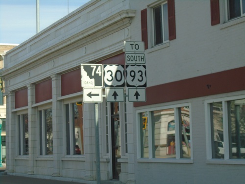
US-30 West Approaching ID-74
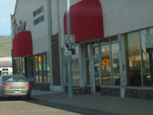
US-30 West approaching ID-74 in downtown Twin Falls. Continue on US-30 for US-93 South junction.
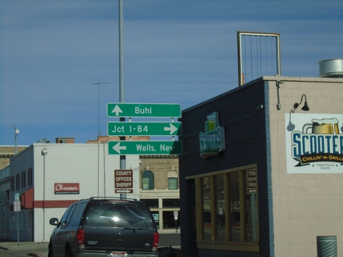
US-30 West at ID-74
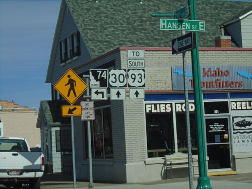
US-30 west (2nd Ave N) at ID-74 (Shoshone St E) in Twin Falls. Turn left on ID-74 south for Wells, Nev. (via US-93 south); turn right on ID-74 north for Jct. I-84 (via Bus. US-93 and US-93 North). Continue straight on US-30 West for Buhl.
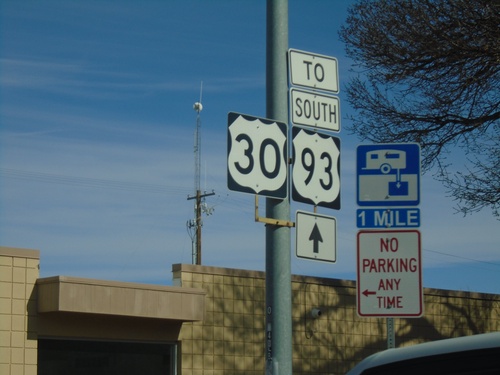
US-30 West/Bus. US-93 South - To US-93
US-30 West/Bus. US-93 South - To US-93 on Addison Ave. in Twin Falls.
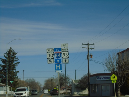
US-30 West - Blue Lakes Blvd. at 2nd Ave. E
US-30 West - Blue Lakes Blvd. at 2nd Ave. E in Twin Falls. Turn left to continue on US-30 West. Continue north on Blue Lakes Blvd. for US-93 North at I-84.
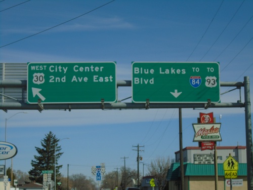
US-30 West - Blue Lakes Blvd. at 2nd Ave. E
US-30 West - Blue Lakes Blvd. at 2nd Ave. E in Twin Falls. Turn left to continue on US-30 West for City Center and 2nd Ave E. Continue north on Blue Lakes Blvd. for US-93 North at I-84.
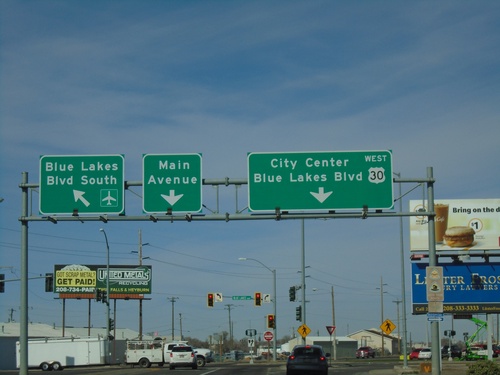
US-30 West at Blue Lakes Blvd.
US-30 west (Kimberly Road) at Blue Lakes Blvd. Use right lane to continue west on US-30/Blue Lakes Blvd. North/City Center. Use middle lane for Main Ave. Use left lane for Blue Lakes Blvd. South/Airport.
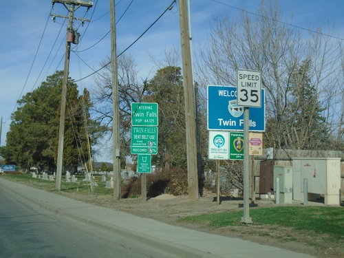
US-30 West - Twin Falls
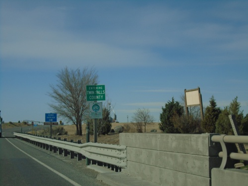
Entering Twin Falls on US-30 west. Twin Falls is the 8th largest city in Idaho (2010 Census) and the county seat of Twin Falls County. Speed Limit 35 MPH.
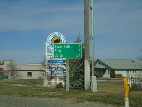
US-30 West - Distance Marker
Distance marker on US-30 west. Distance to Twin Falls, Filer, and Boise.
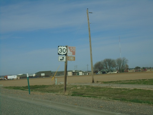
End ID-50 South at US-30
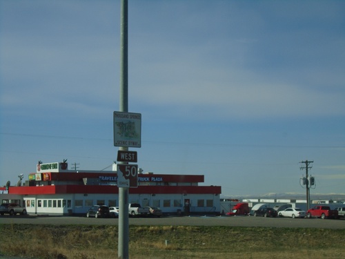
End ID-50 South at US-30 in Kimberly. The ID-50 shield is brown because it is part of the Thousand Springs Scenic Byway.
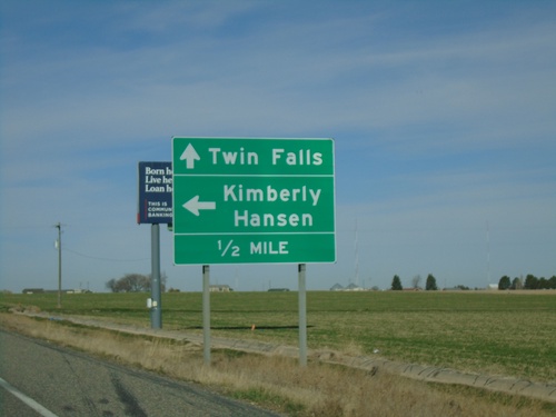
End ID-50 South at US-30
End ID-50 South at US-30. Turn left on US-30 east for Kimberly and Hansen. Continue on US-30 west for Twin Falls.
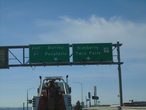
ID-50 South at I-84 East
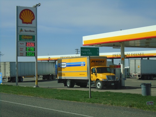
ID-50 south at I-84 east to Burley and Pocatello. Continue on ID-50 for Kimberly and Twin Falls.
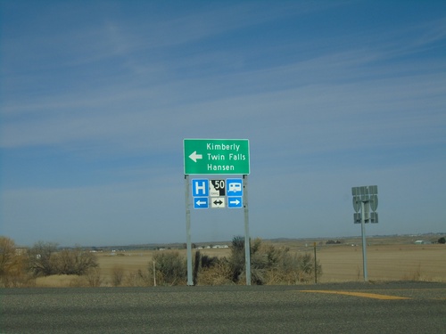
I-84 West - Exit 182 Offramp at ID-50
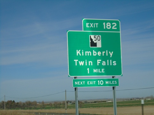
I-84 West - Exit 182 offramp at ID-50. Turn left for ID-50 west to Kimberly, Hansen, and Twin Falls.
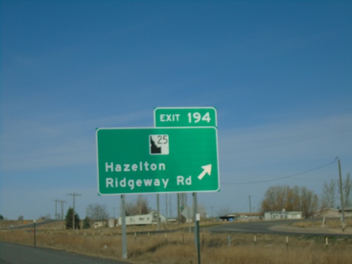
I-84 West - Exit 194
I-84 west at Exit 194 - ID-25/Ridgeway Road/Hazelton. ID-25 west leaves I-84 westbound here. The ID-25 shield is a newer style that has been appearing on guide signs recently.
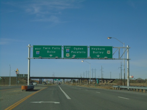
ID-24 West at I-84/US-30
End ID-24 west at I-84/US-30 junction (Exit 211). Use US-30 west for Heyburn and Burley; I-84/US-30 East for Pocatello and Ogden (Utah); I-84 West for Twin Falls and Boise.
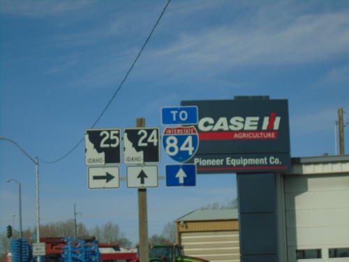
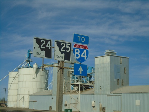
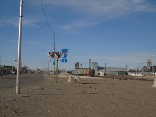
ID-24 East/ID-25 West at ID-24/ID-25 Split
ID-24 East/ID-25 West at ID-24/ID-25 Split in Rupert. Turn right to continue west on ID-25; continue straight for ID-24 to I-84.
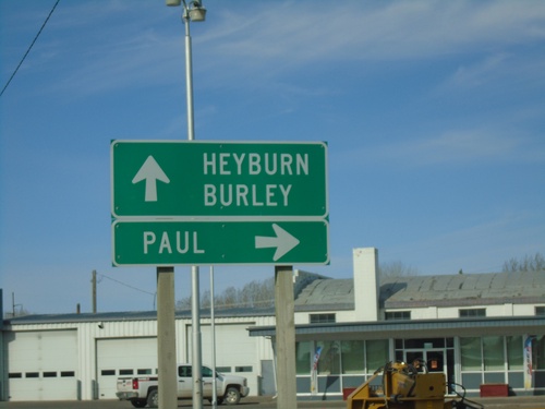
ID-24 East/ID-25 West Split in Rupert
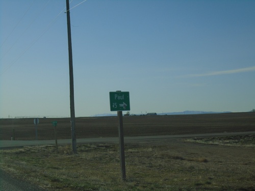
ID-24 East/ID-25 West split in Rupert. Turn right for ID-25 to Paul; continue straight on ID-24 for Heyburn and Burley.
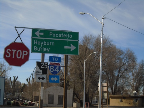
ID-24 East at ID-25 - Rupert
ID-24 East at ID-25 in Rupert. Turn left for ID-25 east to Pocatello; right for ID-24 East /ID-25 West to Burley and Heyburn. Use either direction for I-84. ID-25 joins ID-24 east through Rupert.
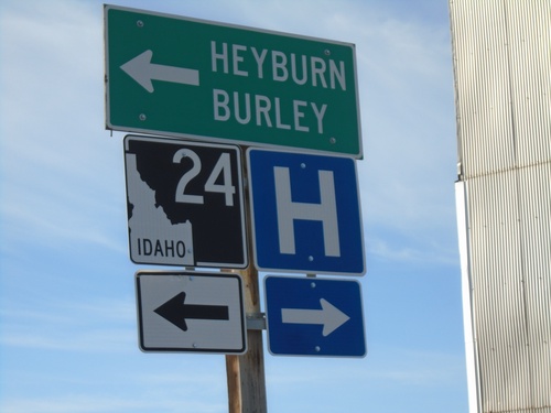
ID-24 - Rupert
ID-24 (Meridian Road) at Baseline Road in Rupert. Turn left on Baseline Road to continue east on ID-24 for Heyburn and Burley.
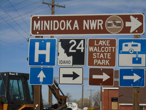
ID-24 - Rupert
ID-24 (Baseline Road) at Meridian Road in Rupert. Turn right on Meridian Road to continue on ID-24 to Minidoka NWR.
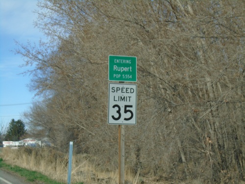
ID-24 East - Rupert
Entering Rupert on ID-24 south. Speed Limit 35 MPH. Rupert is the county seat of Minidoka County.
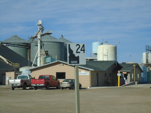
ID-24 East - Minidoka
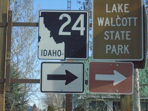
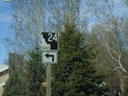
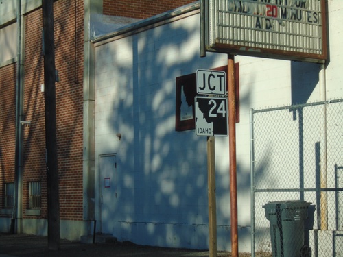
ID-24 east in Minidoka. This is the new style of Idaho state highway shield that has been showing up on Idaho highways in the last few years.
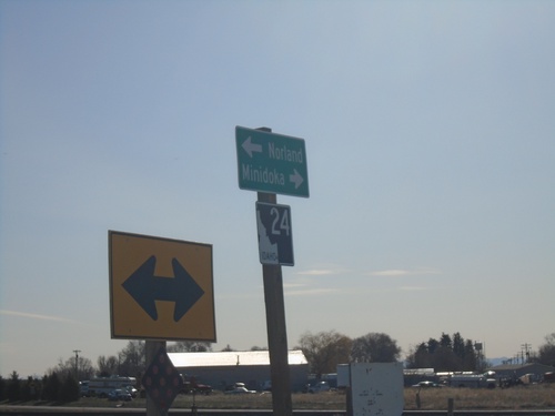
ID-24 West at Minidoka Jct.
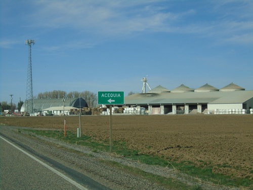
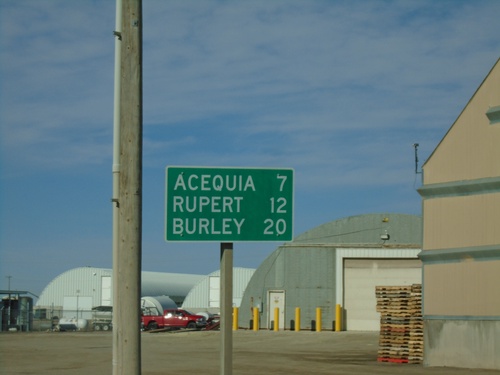
ID-24 West at Minidoka Jct. Turn right for Minidoka; left to continue east on ID-24 to Norland.
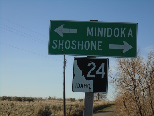
S 700 E at ID-24
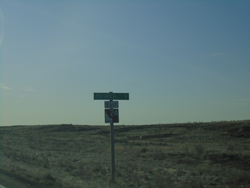
S 700 E at ID-24 near Dietrich. Use ID-24 west for Shoshone; ID-24 east for Minidoka.
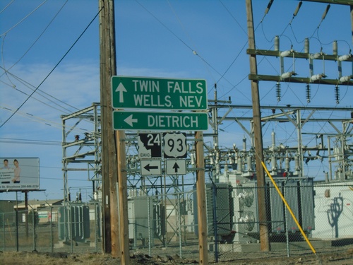
US-93 South at ID-24
US-93 South at ID-24 in Shoshone. Turn left on ID-24 for Dietrich. Continue south on US-93 for Twin Falls and Wells, Nev.
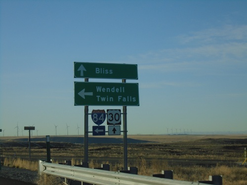
Pioneer Road at I-84/US-30/BL-84
Pioneer Road at I-84/US-30/BL-84 (Exit 137). Turn left for I-84 East to Wendell and Twin Falls; continue straight for US-30/BL-84 to Bliss.
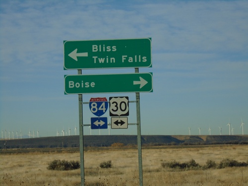
End Pioneer Road (Old US-30) at I-84
End Pioneer Road (Old US-30) at I-84 onramp. Turn right for I-84/US-26/US-30 West to Boise; turn left for I-84/US-26(East) to Twin Falls and US-30 East to Bliss.
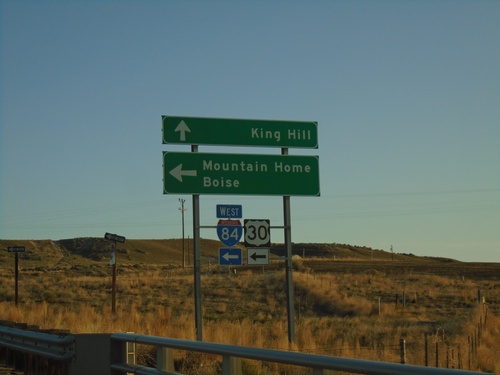
End BL-84 East at I-84/US-30
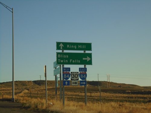
End BL-84 East at I-84/US-30 junction. Turn left on I-84/US-30 west towards Boise and Mountain Home. Continue straight ahead for Old US-30 towards King Hill.
