Signs From July 2020
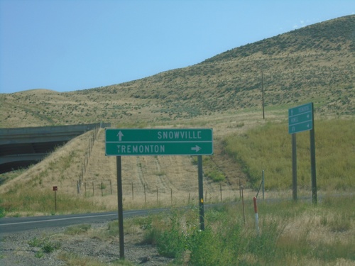
UT-83 North At I-84 (Exit 26)
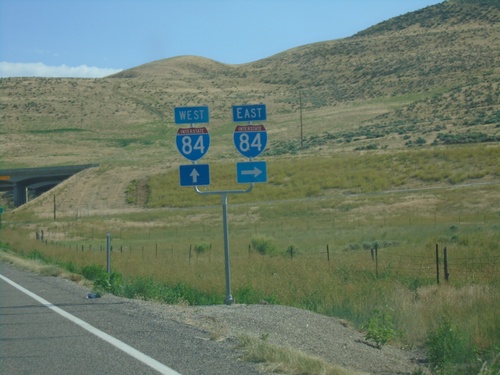
End UT-83 north at I-84. Use I-84 east to Tremonton; use I-84 west to Snowville.
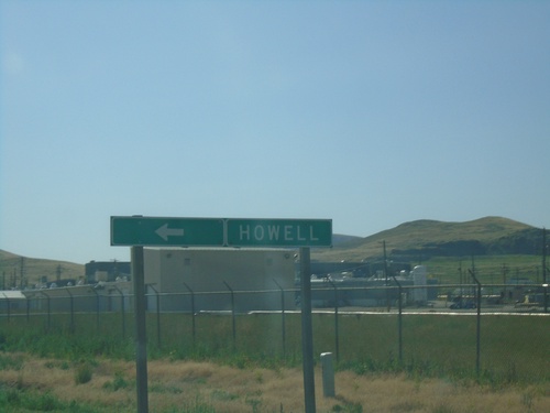
UT-83 North at Faust Valley Road
UT-83 North at Faust Valley Road. Turn left to continue north on UT-83 towards Howell.
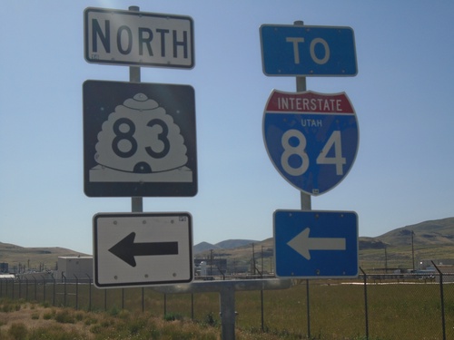
UT-83 North to I-84 - Box Elder County
UT-83 North at Faust Valley Road. Turn left to continue north on UT-83 to I-84.
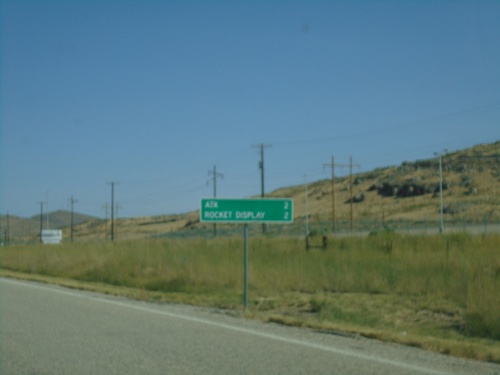
UT-83 North - Distance Marker
Distance marker on UT-83 north. Distance to ATK and Missile Display (both related to Northrup Grumman).
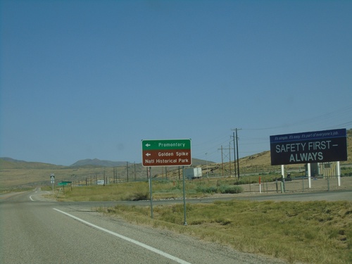
UT-83 North at Promontory Road
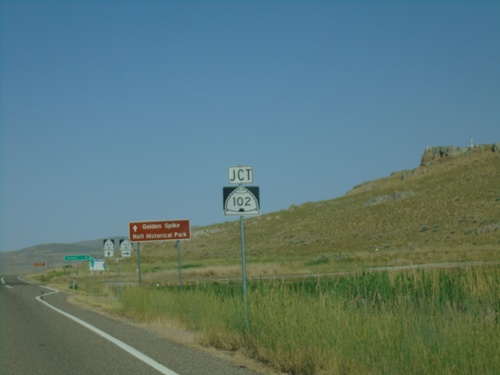
UT-83 North at Promontory Road to Promontory and Golden Spike National Historic Site.
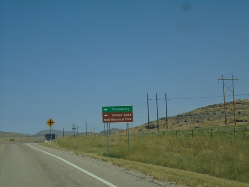
UT-83 North Approaching Promontory Road
UT-83 North approaching Promontory Road to Promontory and Golden Spike National Historic Park.
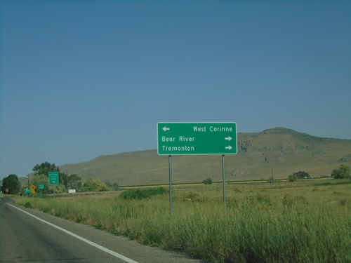
UT-83 North Approaching Iowa String Road and N 6800 W
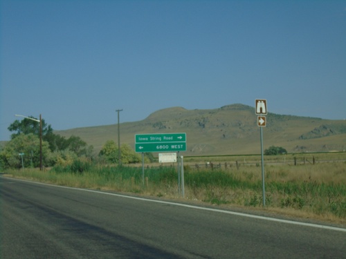
UT-83 North approaching Iowa String Road and N 6800 W. Use Iowa String Road to Bear River and Tremonton; use N 6800 W to West Corrine.
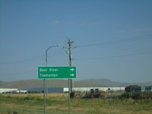
UT-13 North at UT-83
UT-13 north at UT-83. Turn right to continue north on UT-13 to Bear River and Tremonton.
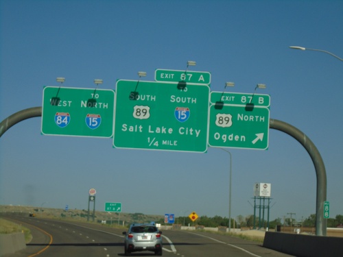
I-84 West - Exits 87A and 87B
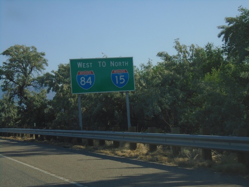
I-84 west at Exit 87B - US-89 North/Ogden. Approaching US-89 South/To I-15 South/Salt Lake City. Continue west on I-84 for I-15 north.
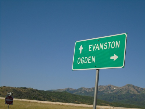
W 4300 North at I-84 (Exit 96)
W 4300 North at I-84 (Exit 96). Use I-84 west for Ogden; I-84 east for Evanston (Wyoming).
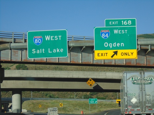
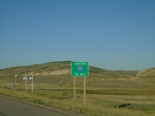
I-80 West at I-84
I-80 west at I-84 junction. Use Exit 168 for I-84 West/Ogden; continue west on I-80 for Salt Lake.
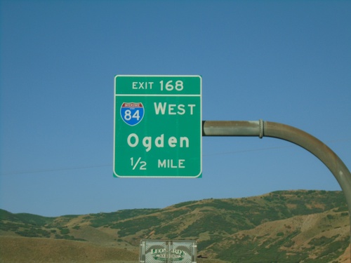
I-80 West - Exit 168
I-80 west approaching Exit 168 - I-84 West/Ogden. This is the eastern end of I-84.
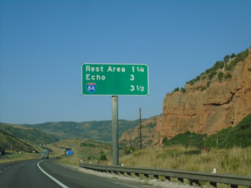
I-80 West - Distance Marker
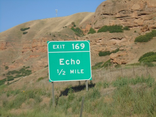
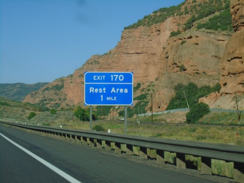
Distance marker on I-80 west for next three exits - Rest Area, Echo, and I-84.
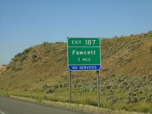
I-80 West - Exit 187
I-80 west approaching Exit 187 - Fawcett. This exit was renamed from Ranch Exit in the last few years.
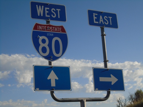
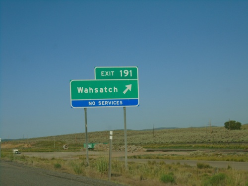
Access Road at I-80 (Exit 191)
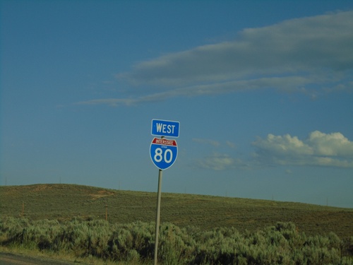
Access Road at I-80 (Exit 191 - Wahsatch). The I-80 east shield is missing.
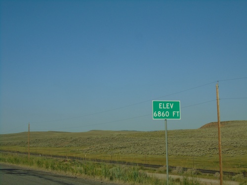
I-80 West - Elevation 6860 Feet
I-80 west Elevation 6860 Feet. Many highways entering Utah have the elevation listed at or near the state line.
I-80 West - Distance Marker
Distance marker on I-80 west. Distance to Echo, Coalville, and Salt Lake City. This is the first distance marker on I-80 westbound in Utah.
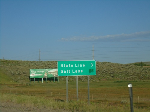
I-80 West - Distance Marker
Last distance marker on I-80 westbound in Wyoming. Distance to (Utah) State Line and Salt Lake (Utah).
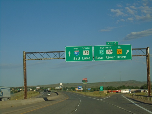
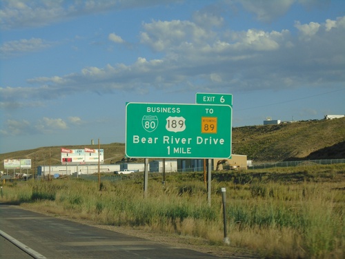
I-80 West - Exit 6
I-80 west at Exit 6 - BL-80/Business US-189/To WY-89/Bear River Drive. I-80 West/US-189 South continues towards Salt Lake (Utah). This is the eastern end of the Evanston business loop. Evanston is the last city in Wyoming along I-80 west.
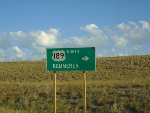
I-80 West - Exit 18 Offramp at US-189
I-80 West (Exit 18) offramp at US-189. Turn right for US-189 north to Kemmerer.
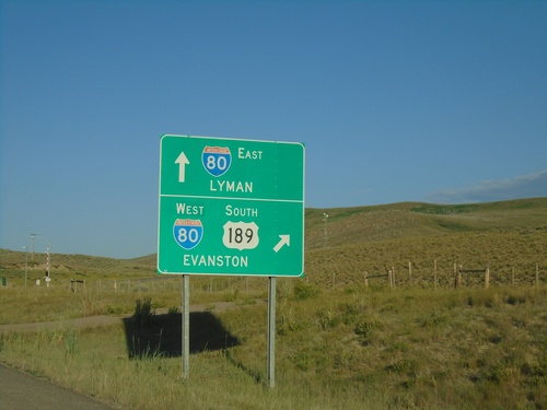
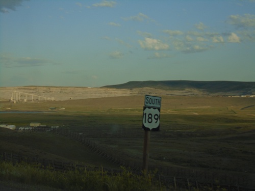
US-189 South at I-80
US-189 South at I-80 (Exit 18). Use I-80 east to Lyman; use I-80 West/US-189 South to Evanston. US-189 South joins I-80 westbound.
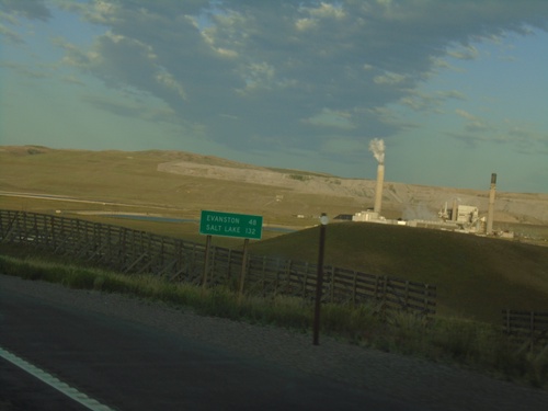
US-189 South - Distance Marker
Distance marker on US-189 south. Distance to Evanston and Salt Lake (Utah). Both destinations are via I-80 west.
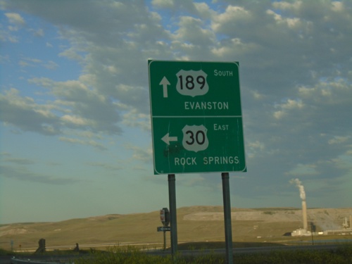
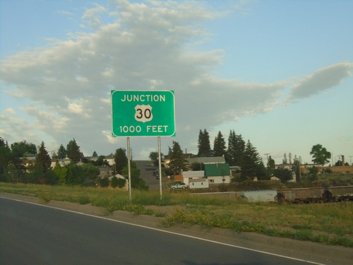
US-189 South/US-30 East at US-189/US-30 Split
US-189 South/US-30 East at US-189/US-30 Split. Turn left for US-30 East onramp to Rock Springs. Continue south on US-189 for Evanston. This is the east end of the Kemmerer US-30 Bypass.
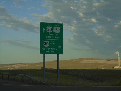
US-30 East/US-189 South at Split
US-30 East/US-189 South at US-30 By-Pass and US-30 ramps. Use US-189 South/US-30 East for Evanston. Turn right for the US-30 By-Pass West onramp for Port of Entry and Cokeville.
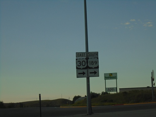
US-30 East/US-189 South - Diamondville
US-30 East/US-189 south in Diamondville. US-30 East/US-189 south turn right onto Lincoln St.
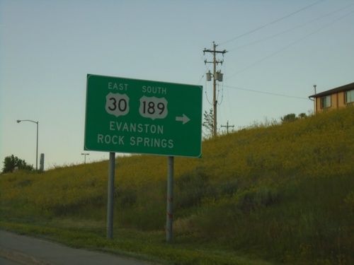
US-30 East/US-189 South - Diamondville
US-30 East/US-189 south in Diamondville. Turn right to continue on US-30 East/US-189 South. Use US-30 East/US-189 south for Evanston and Rock Springs.
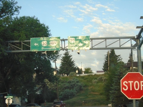
US-189 South at US-30
US-189 South at US-30 in Kemmerer. Turn right for US-30 west to Sage Junction and Port of Entry. Turn left for US-30 East/US-189 south to Diamondville. US-30 east joins US-189 south through Kemmerer and Diamondville.
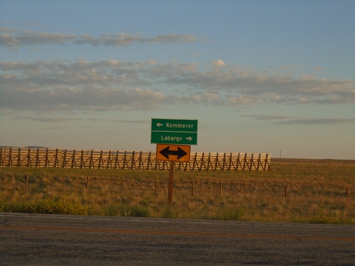
End WY-240 at US-189
End WY-240 at US-189. Use US-189 north for La Barge; US-189 south for Kemmerer. Snow fencing is in the background.
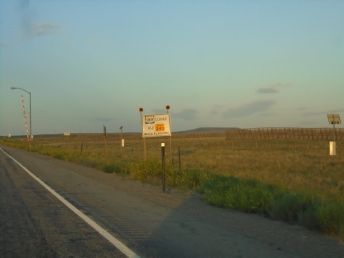
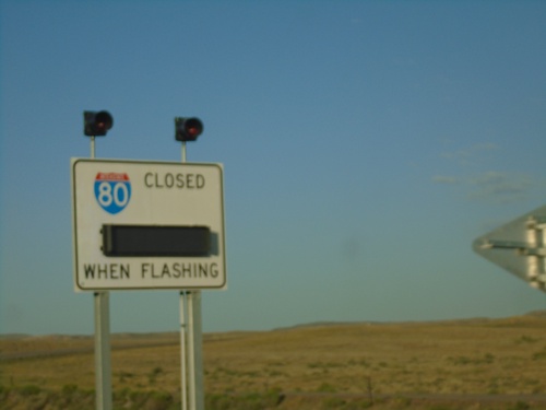
US-189 South - Road Closure Information
US-189 south approaching WY-240. When lights are flashing US-189 is closed - use WY-240.
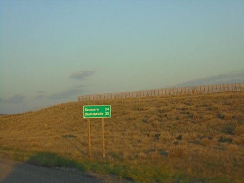
US-189 South - Distance Marker
Distance marker on US-189 south. Distance to Kemmerer and Diamondville.
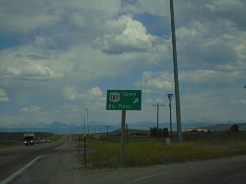
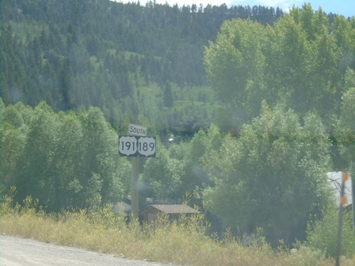
US-189/US-191 South - Daniel Junction
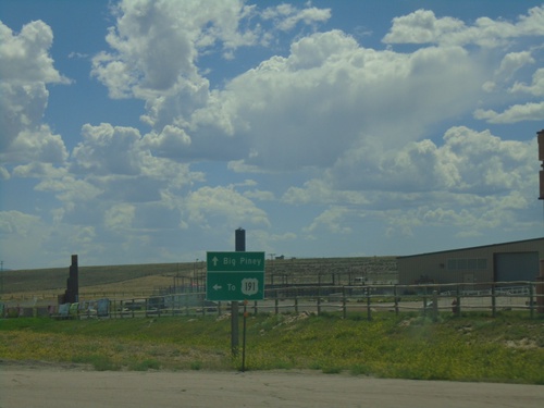
US-189/US-191 South at Daniel Junction. Turn right to continue south on US-189 to Big Piney.
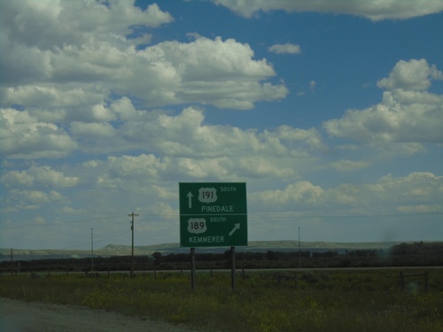
US-189/US-191 South - Daniel Junction
US-189/US-191 South at US-189/US-191 Split. Turn right for US-189 south to Kemmerer. Continue straight for US-191 south to Pinedale.
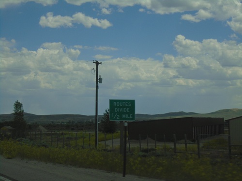
US-189/US-191 South - Routes Divide
US-189/US-191 South approaching US-189/US-191 split. Wyoming typically posts a Routes Divide sign at intersections similar to this where two co-signed highways split onto different roads.
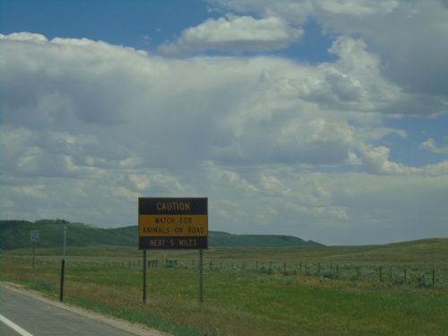
US-189 South/US-191 South - Wildlife on Roadway
Wildlife on Roadway next 5 miles on US-189/US-191 South.
US-189/US-191 South - Distance Marker
Distance marker on US-189/US-191 South. Distance to Daniel Junction and Big Piney.
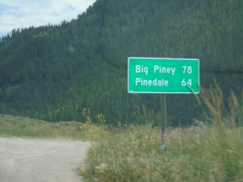
US-189/US-191 South - Distance Marker
Distance Marker on US-189/US-191 South. Distance to Pinedale (via US-191) and Big Piney (via US-189).
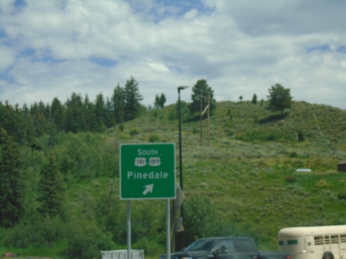
US-26 East - US-89/US-189/US-191 North in Hoback Jct. Roundabout
US-26 East - US-89/US-189/US-191 North in Hoback Jct. Roundabout. Merge right for (US-189 South/US-191 South) Pinedale.
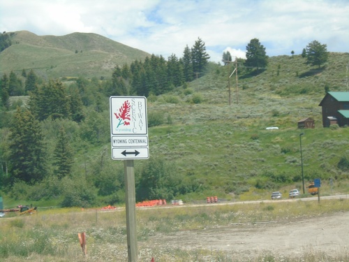
US-26 East/US-89 North Approaching US-189/US-191 - Scenic Byway
US-26 East/US-89 North approaching US-189/US-191 roundabout at Hoback Junction. Roads leading out from this junction are part of the Wyoming Centennial Scenic Byway.
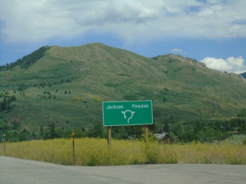
US-26 East/US-89 North Approaching US-189/US-191
US-26 East/US-89 North Approaching US-189/US-191 roundabout at Hoback Junction. Use first exit in roundabout for US-189/US-191 South to Pinedale; second exit in roundabout for US-89/US-189/US-191 North/US-26 East to Jackson.
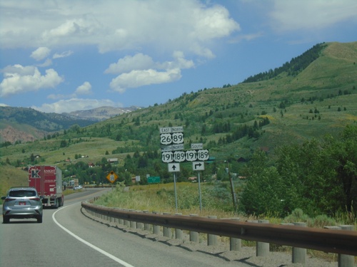
US-26 East/US-89 North Approaching US-189/US-191
US-26 East/US-89 North Approaching US-189/US-191 at Hoback Junction.
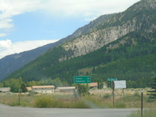
US-89 North/US-26 East - Distance Marker
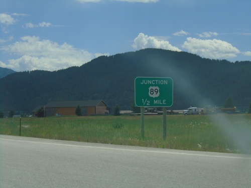
Distance marker on US-89 North/US-26 East. Distance to Jackson and Yellowstone.
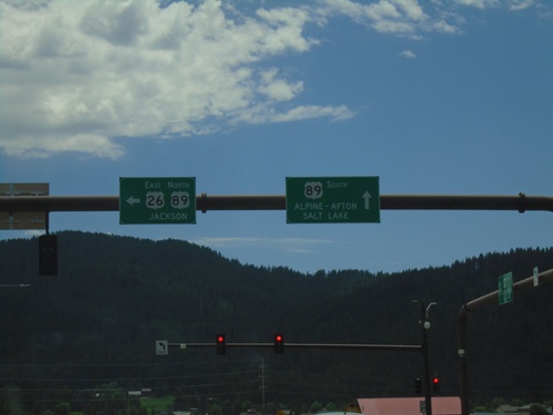
US-26 East at US-89 - Alpine Junction
US-26 East at US-89 at Alpine Junction. Turn right for US-89 South to Alpine, Afton and Salt Lake (Utah). Turn left for US-89 North/US-26 East to Jackson. US-26 joins US-89 east to Moran Jct.
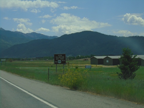
US-26 East - Use US-89 For Teton/Yellowstone Parks
US-26 East approaching US-89 in Alpine. Use US-89 North for Teton/Yellowstone Parks.
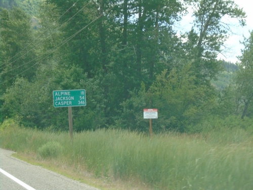
US-26 East - Distance Marker
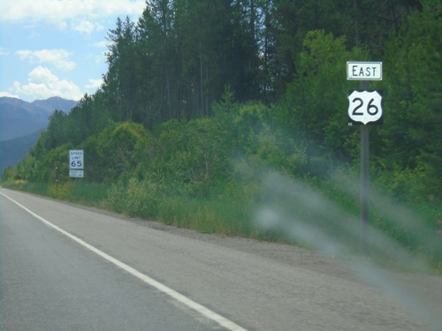
Distance marker on US-26 east. Distance to Alpine, Jackson, and Casper. All three destinations are in Wyoming.
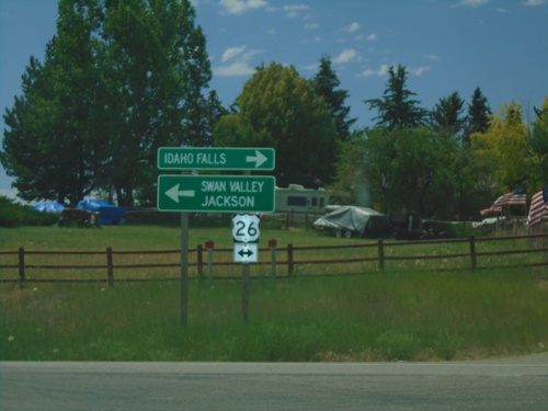
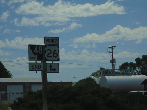
End Bus. US-26 East at US-26
End Bus. US-26 East at US-26. Turn right on US-26 West to Idaho Falls; left for US-26 East to Swan Valley and Jackson (Wyoming).
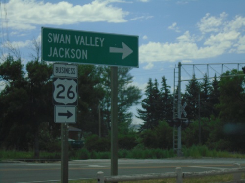
Bus. US-26 East - Ririe
Bus. US-26 East (Ririe Hwy) at N 130th East. Turn right to continue east on Bus. US-26 to Swan Valley and Jackson (Wyoming).
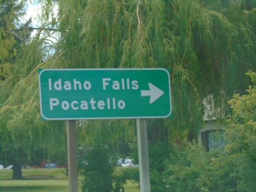
ID-48 East at Bus. US-20
ID-48 East at Bus. US-20 in Rigby. Turn right on Bus. US-20 West to Idaho Falls and Pocatello.
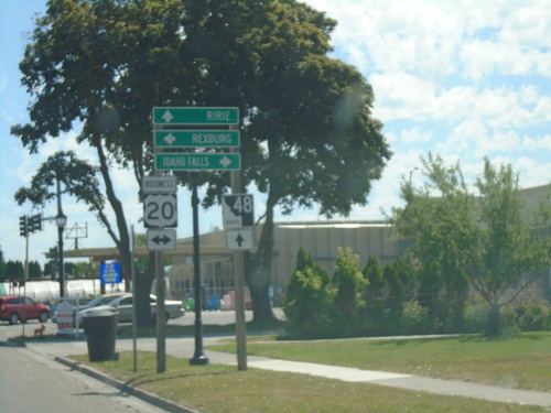
ID-48 East at Bus. US-20
ID-48 East at Bus. US-20 (State St.) in Rigby. Turn right on Bus. US-20 for Idaho Falls and left on Bus. US-20 for Rexburg. Continue straight on ID-48 for Ririe.
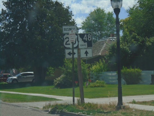
ID-48 East Approaching Bus. US-20 (State St.)
ID-48 East Approaching Bus. US-20 (State St.) in Rigby.
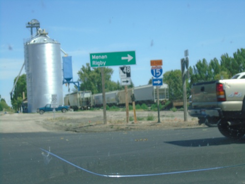
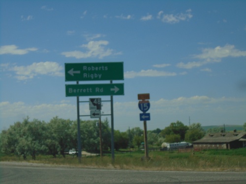
ID-48 - Roberts
ID-48 (N 2880 E) at E 650 N in Roberts. Turn right on E 650 N to continue east on ID-48 towards Menan and Rigby.
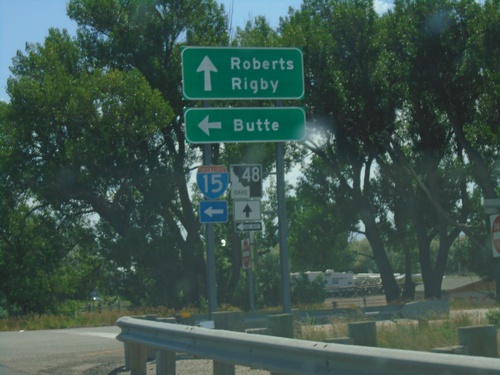
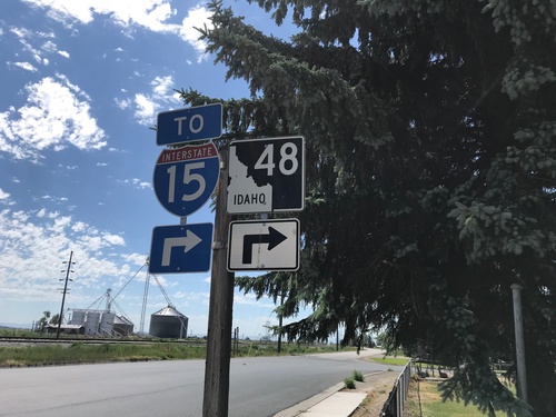
Begin ID-48 East at I-15 North
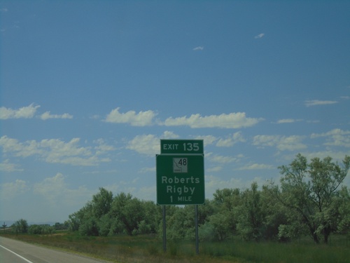
Begin ID-48 East at I-15 North in Roberts. Turn left for I-15 north to Butte (Montana); use ID-48 east for Roberts and Rigby.
