Signs From August 2020
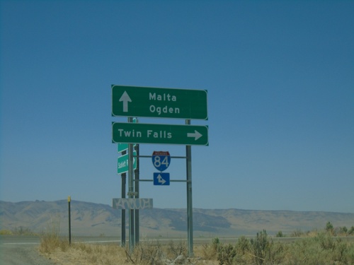
Sublett Road West at I-84
Sublett Road West at I-84 in Cassia County. Use I-84 west for Twin Falls; I-84 east for Ogden (Utah). Continue west on Sublett Road for Malta.
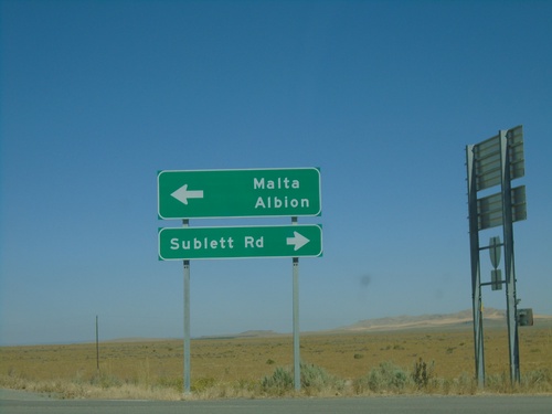
I-84 West - Exit 245 Offramp at Sublett Road
I-84 West - Exit 245 offramp at Sublett Road. Turn right for Sublett Road; left for Malta and Albion (via Sublett Road).
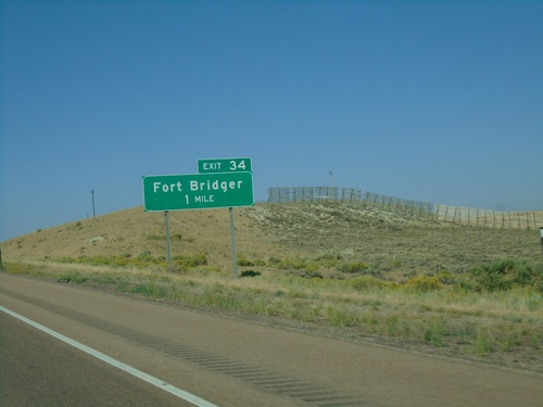
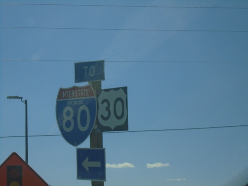
I-80 West - Exit 34
I-80 west approaching Exit 34 - Fort Bridger. This is the western end of the Bridger Valley business loop.
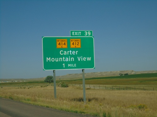
I-80 West - Exit 39
I-80 west approaching Exit 39 - WY-412/WY-414/Carter/Mountain View. The Wyoming shields on the interchange sign contain the bucking cowboy. Most Wyoming state highway shields on guide signs omit the cowboy.
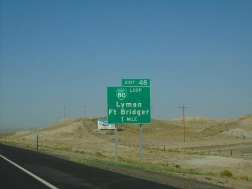
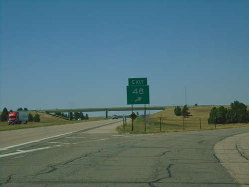
I-80 West - Exit 48
I-80 west approaching Exit 48 - BL-80/Lyman/Fort Bridger. This is the eastern end of the Bridger Valley business loop. BL-80 goes through Lyman and Fort Bridger.
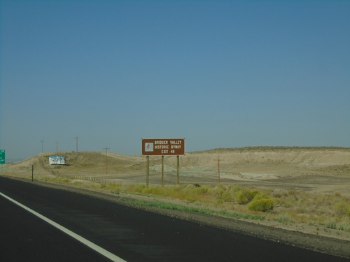
I-80 West - Bridger Valley Historic Byway
I-80 west approaching Exit 48. Use Exit 48 for the Bridger Valley Historic Byway, a Wyoming scenic byway.
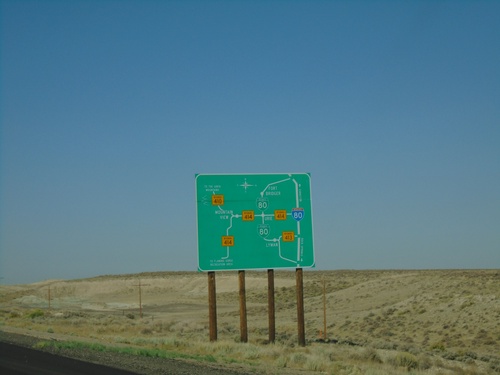
I-80 West - Bridger Valley Route Diagram
Bridger Valley route diagram on I-80 west. This sign is posted on I-80 on both entrances to the Bridger Valley on I-80, as well as at a truck parking area.
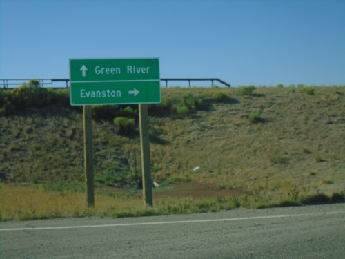
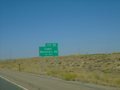
End WY-374 West at I-80 (Exit 61)
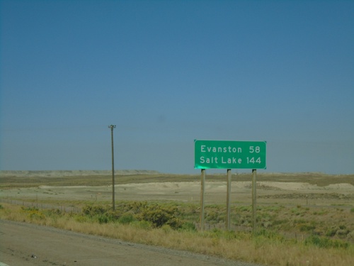
End WY-374 West at I-80 (Exit 61) in Sweetwater County. Use I-80 west to Evanston; I-80 east to Green River.
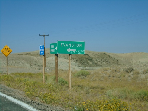
WY-374 West at I-80
WY-374 West at I-80. Turn left for access road to I-80. Use I-80 west for Evanston.
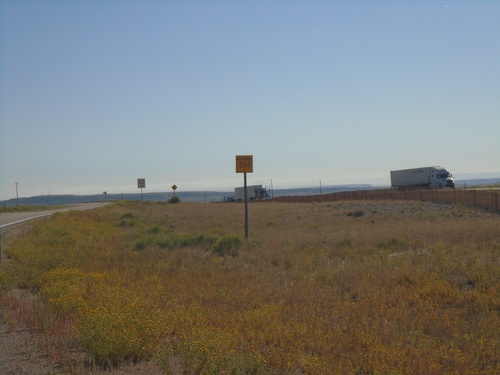
WY-374 East - Sweetwater County
First WY-374 east shield eastbound in Sweetwater County. WY-374 is a frontage road between this location (Cedar Mountain interchange at I-80) and Green River.
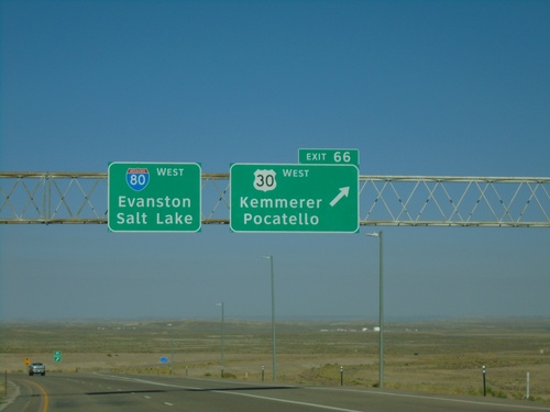
I-80 West - Exit 66
I-80 west at Exit 66 - US-30 West/Kemmerer/Pocatello. US-30 leaves I-80 here and turns towards the northwest towards Kemmerer.
End BL-80/Bus. US-30 East at I-80 (Exit 91)
End BL-80/Bus. US-30 East at I-80 (Exit 91) in Green River. Use I-80/US-30 East to Rock Springs; I-80/US-30 West to Evanston. This is the east end of the Green River business loop.
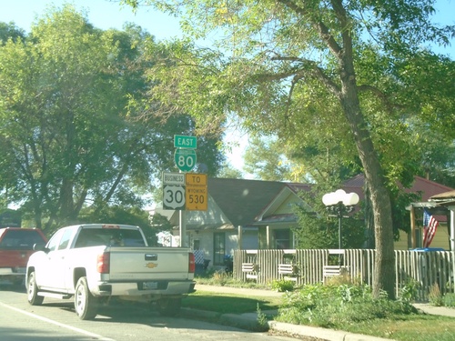
BL-80/Bus. US-30 East/To WY-530 - Green River
BL-80/Bus. US-30 East/To WY-530 on E Flaming Gorge Way in Green River
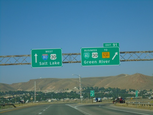
I-80 West - Exit 91
I-80 west at Exit 91 - BL-80/Bus. US-30/To WY-530/Green River. This is the eastern end of the Green River business loop. Continue west on I-80/US-30 for Salt Lake (Utah).
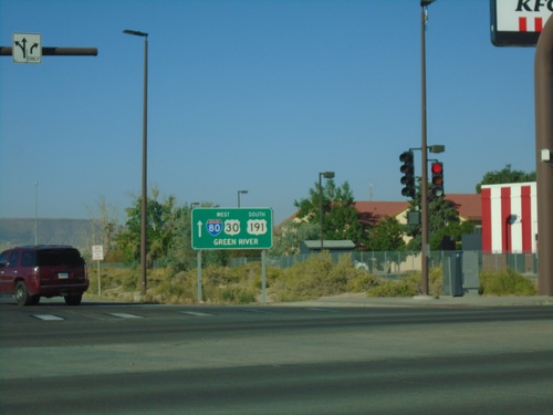
BL-80 West at I-80/US-30 West/US-191 South
BL-80 West (Dewar Drive) at I-80/US-30 West/US-191 South to Green River. This is the western end of the Rock Springs business loop.
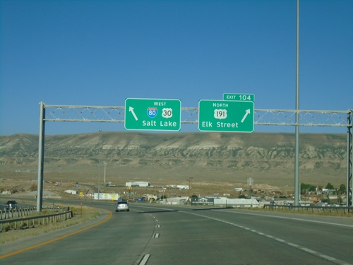
I-80 West - Exit 104
I-80 west at Exit 104 - US-191 North/Elk St. Continue straight for I-80/US-30 West (and US-191 South) to Salt Lake (Utah). US-191 south joins I-80 west through Rock Springs.
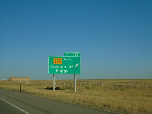
I-80 West Exit 187
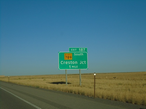
I-80 west at Exit 187 - WY-789 South/Creston Jct./Baggs. WY-789 south leaves I-80 westbound.
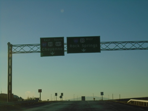
US-287 South at I-80
US-287 South/BL-80 East/Bus. US-30 East at I-80 in Rawlins. Use I-80/US-30 West for Rock Springs; I-80/US-30 East/US-287 South for Cheyenne.
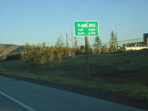
US-287 North - Rawlins
US-287 North/BL-80/US-30 West - Rawlins. Population 9259. Elevation 6755. Rawlins is the county seat of Carbon County, and is located just east of the Continental Divide.
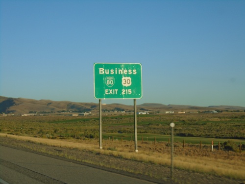
I-80 West - Exit 215
I-80 west approaching Exit 215. BL-80 and Bus. US-30, use Exit 215. This is the eastern end of the Rawlins business loop.
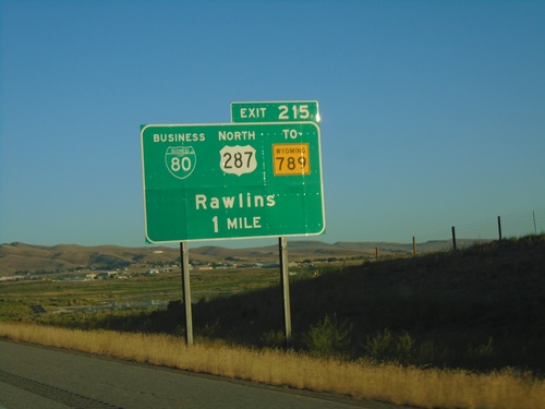
I-80 West - Exit 215
I-80 west approaching Exit 215, BL-80/US-287 North/To WY-789/Rawlins. US-287 North leaves I-80 westbound at Exit 215.
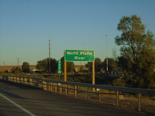
I-80 West - North Platte River
I-80 west crossing the North Platte River in Carbon County. Milemarker 229.03 in the background.
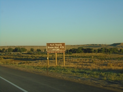
I-80 West - Exit 228
I-80 west approaching Exit 228 - Fort Steele. Use Exit 228 for Fort Steele State Historic Site.
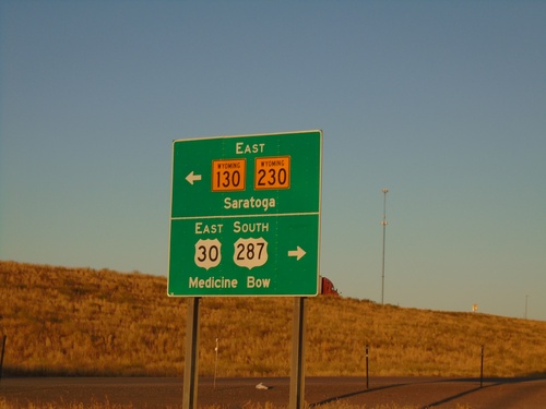
I-80 West Offramp at US-30/US-287/WY-130/WY-230
I-80 West offramp (Exit 235) at US-30/US-287/WY-130/WY-230. Use US-30 East/US-287 South to Medicine Bow. Use WY-130/WY-230 East to Saratoga. US-30 West joins I-80 westbound to Granger; US-287 North joins I-80 westbound to Rawlins.
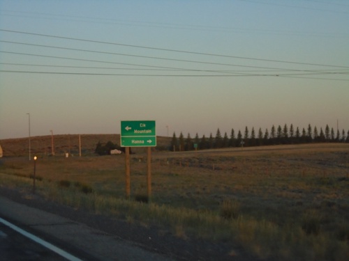
US-30 West/US-287 North At WY-72
US-30 West/US-287 North At WY-72 North to Hanna; south to Elk Mountain.
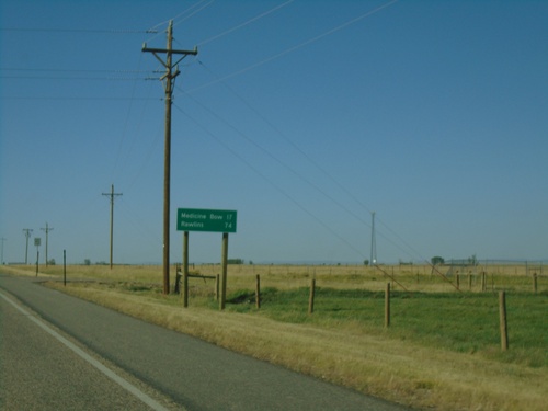
US-30 West/US-287 North - Distance Marker
Distance marker on US-30 West/US-287 North. Distance to Medicine Bow and Rawlins.
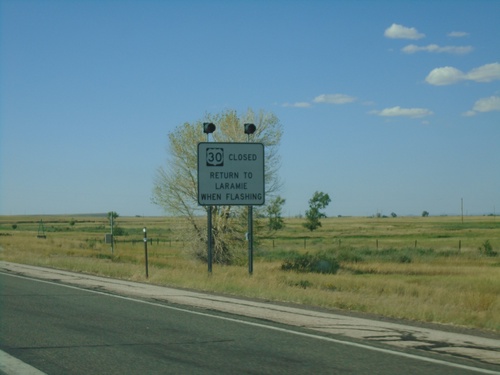
US-30 West/US-287 North - Return To Laramie When Flashing
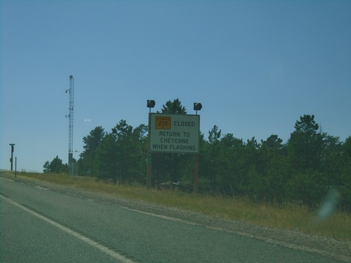
US-30 West/US-287 North - Road Closed, Return To Laramie When Flashing
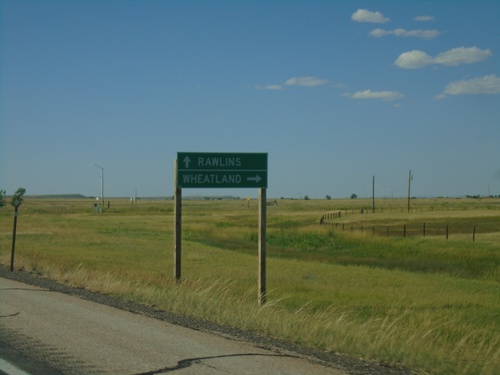
US-30 West/US-287 North At WY-34
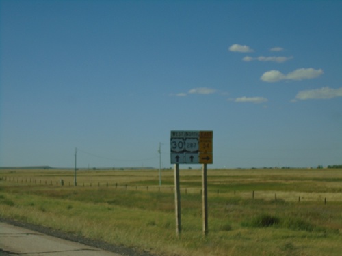
US-30 West/US-287 North at WY-34 north to Wheatland. Continue on US-30 West/US-287 North to Rawlins.
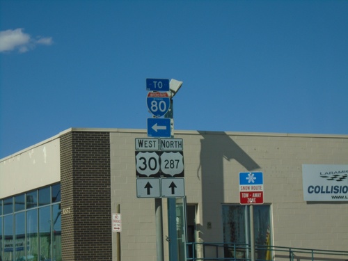
BL-80/US-30 West/US-287 North - Laramie
BL-80/US-30 West/US-287 North (3rd St.) at BL-80 West (Curtis St.). Turn left to continue on BL-80 West/To I-80.
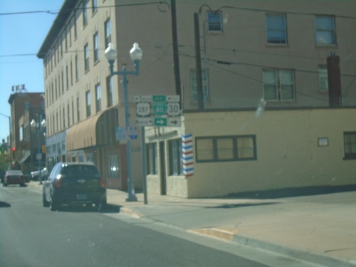
BL-80/US-30 West at US-287
BL-80/US-30 West (Grand Ave.) at US-287 (S 3rd St) in Laramie. Turn left for US-287 South; turn right for BL-80/US-30 West/US-287 North. US-287 north joins US-30 west to Rawlins.
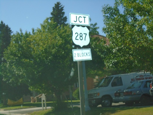
BL-80/US-30 West Approaching US-287
BL-80/US-30 West (Grand Ave) approaching US-287 (S 3rd St.) in Laramie.
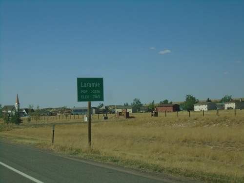
BL-80/US-30 West - Laramie
Entering Laramie on BL-80/US-30 West. Population 30816. Elevation 7165 Feet. Laramie is the third largest city in Wyoming and the home to the University of Wyoming.
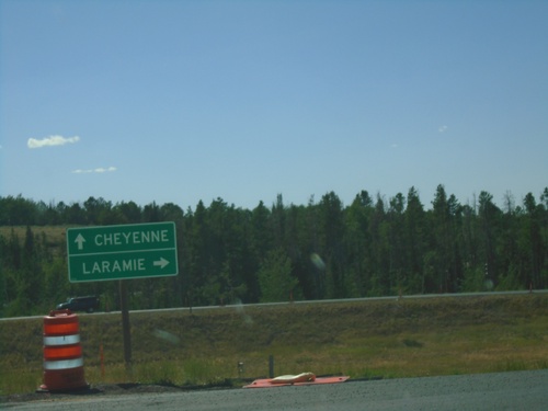
End WY-210 West at I-80/US-30
End WY-210 West (Happy Jack Road) at I-80/US-30. Use I-80/US-30 West for Laramie; I-80/US-30 East for Cheyenne.
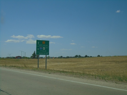
Missile Drive at Warren AFB and I-25 South
Missile Drive at Warren AFB and I-25 South in Cheyenne. Turn right to continue on Missile Drive for Warren AFB; left for I-25/US-87 South/Fort Collins (Colorado); straight for WY-210 West/Happy Jack Road.
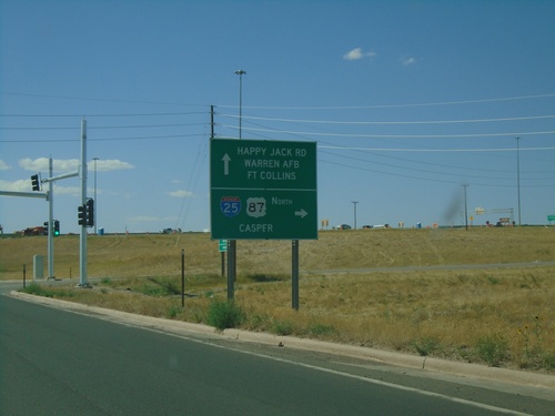
Missile Drive West at I-25/WY-210
Missile Drive West at I-25/WY-210 in Cheyenne. Turn right for I-25/US-87 North to Casper. Continue on Missile Drive for (WY-210)/Happy Jack Road, Warren AFB, and (I-25 South)/Fort Collins (Colorado).
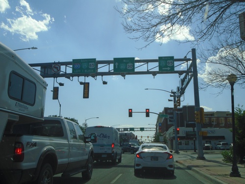
US-30/BL-80 West at I-180/US-85/BL-25
US-30/BL-80 West at I-180/US-85/BL-25 in downtown Cheyenne (W Lincolnway at Warren Ave.). Turn right on Warren Ave. for BL-25/US-85 North; continue one block and then left for I-180/US-85/BL-25 south. Continue straight on W Lincolnway for US-30/BL-80 West.
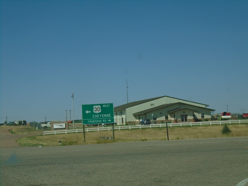
Archer Parkway at US-30 West/Frontage Road
US-30 West (Archer Parkway) at US-30 West/Frontage Road. Turn left for US-30 West to Cheyenne.
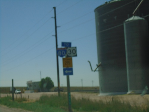
BL-80/US-30 West in Pine Bluffs
BL-80/US-30 West in Pine Bluffs. Turn left on Parson St to continue west on BL-80/US-30/To I-80/WY-215.
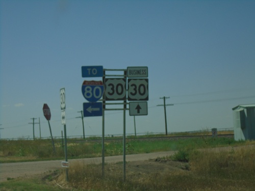
US-30 West at (NE-53B Link) To I-80
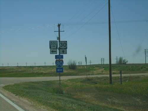
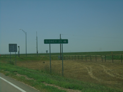
US-30 West at (NE-53B Link) To I-80. US-30 continues west towards Pine Bluffs (incorrectly signed as Bus. US-30). BL-80 begins at the Wyoming-Nebraska state line, but is not signed on the Nebraska side of the border.
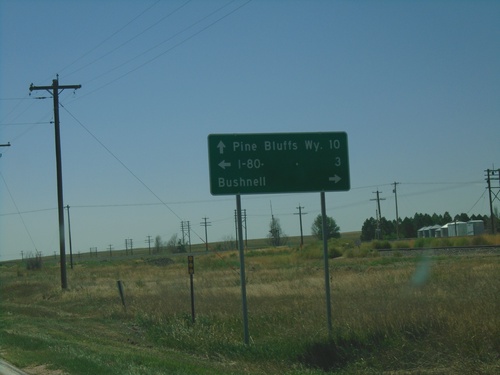
US-30 West at NE-53C Link
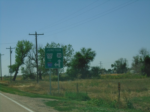
US-30 West at NE-53C Link south to I-80. Turn right on Birch St. for Bushnell. Continue west on US-30 for Pine Bluffs, WY.
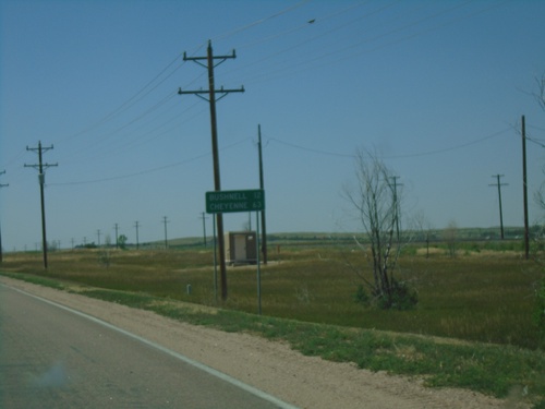
US-30 West - Distance Marker
Distance marker on US-30 west. Distance to Bushnell and Cheyenne (Wyoming).
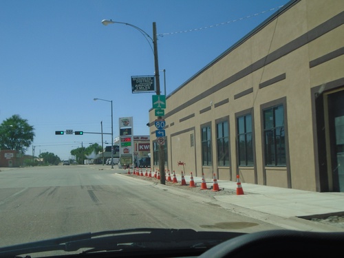
US-30 West at Chestnut Street
US-30 West at Chestnut Street in Kimball. Turn left on Chestnut Street for I-80.
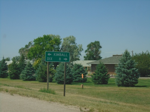
NE-53E Link North at US-30
NE-53E Link North at US-30. Turn right on US-30 for Dix; left for Kimball.
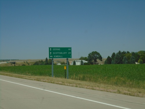
NE-71 North Approaching NE-53E Link
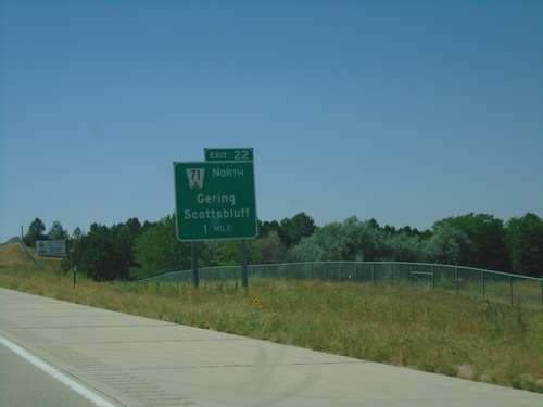
NE-71 North approaching NE-53E Link. Use NE-53E Link North for Kimball; continue north on NE-71 for Scottsbluff and Gering.
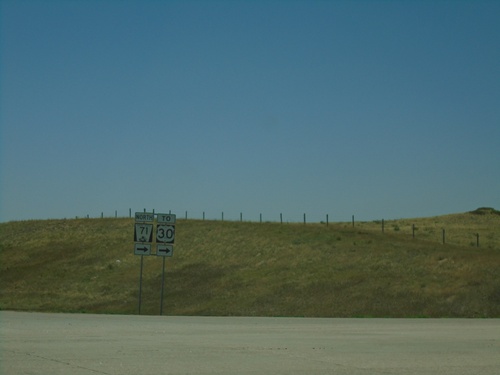
I-80 West - Exit 22 Offramp at NE-71
I-80 West - Exit 22 offramp at NE-71. Turn right for NE-71 North/To US-30.
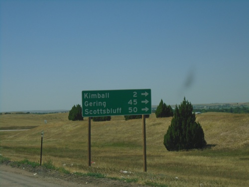
I-80 West - Exit 22 Offramp at NE-71
I-80 West - Exit 22 offramp at NE-71. Turn right on NE-71 for Kimball, Gering, and Scottsbluff.
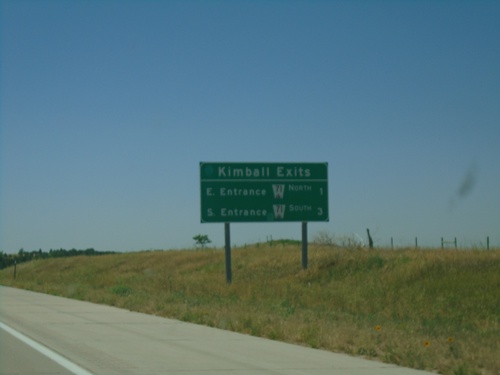
I-80 West - Kimball Exits
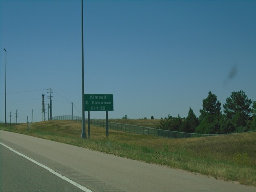
Kimball Exits on I-80 West. E Entrance - NE-71 North and W Entrance - NE-71 South.
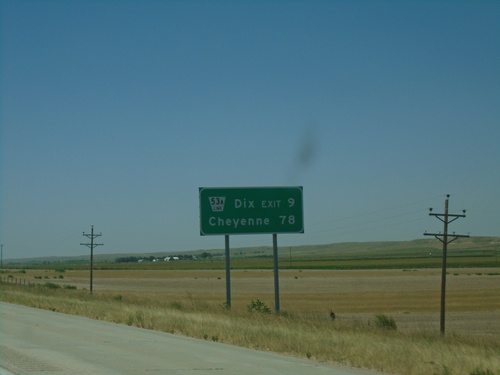
I-80 West - Distance Marker
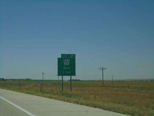
Distance marker on I-80 west. Distance to NE-53A Link - Dix Exit and Cheyenne (Wyoming).
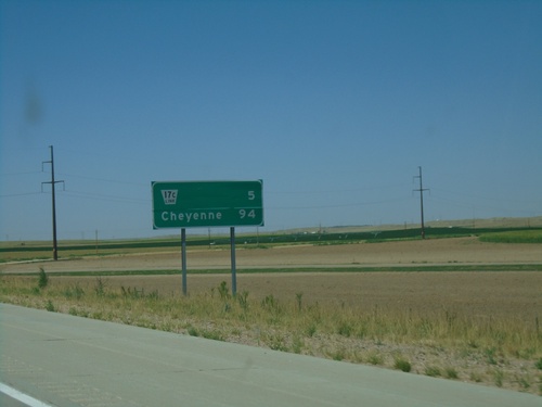
I-80 West - Distance Marker
Distance marker on I-80 west. Distance to NE-17C Link and Cheyenne (Wyoming).
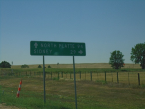
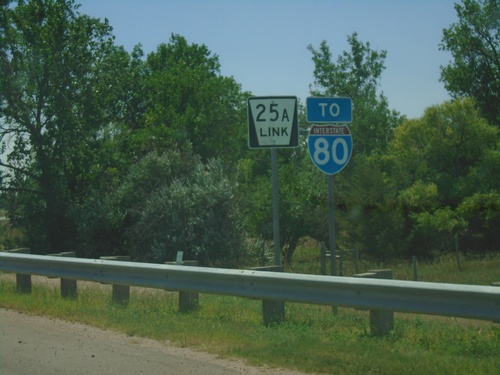
NE-25A Link South at I-80
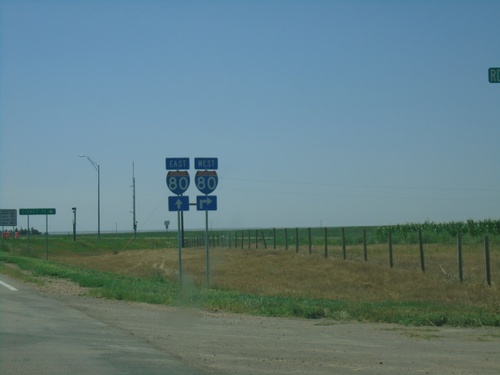
NE-25A Link South at I-80 (Exit 85). Turn right for I-80 west to Sidney; continue under freeway for I-80 east to North Platte.
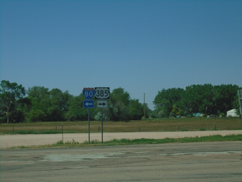
US-385 North at NE-25A Link
US-385 North at NE-25A Link in Chappell. Turn right to continue north on US-385; left for NE-25A Link south to I-80.
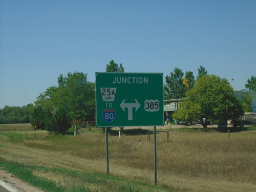
US-385 North Approaching NE-25A Link
US-385 North approaching NE-25A Link in Chappell. Turn right to continue north on US-385; left for NE-25A Link South/To I-80.
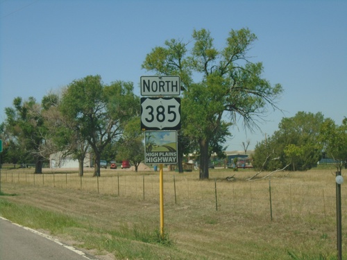
US-385 North - HIgh Plains Highway
US-385 North - High Plains Highway. US-385 is marked as the High Plains Highway from the Colorado-Nebraska line to Cheyenne Wells.
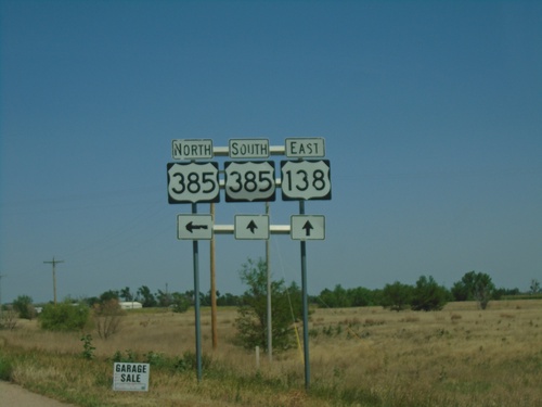
US-138 East at US-385
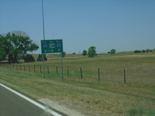
US-138 East at US-385 in Sedgwick County. Turn left for US-385 North; continue straight for US-385 South/US-138 East. US-385 joins US-138 through Julesburg.
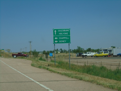
US-138 East Approaching US-385
US-138 East approaching US-385 junction. Turn left for US-385 north to Chappell and Sidney (both destinations in Nebraska). Continue on US-138 East/US-385 South for Julesburg and Holyoke.
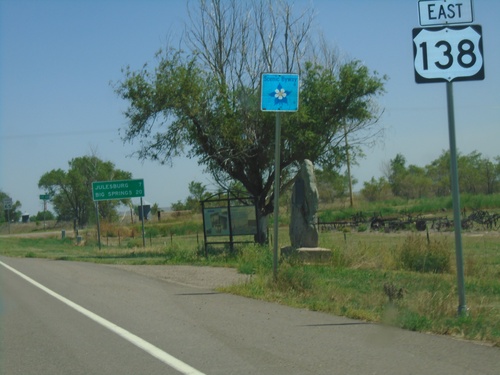
US-138 East - Distance Marker and Scenic Byway
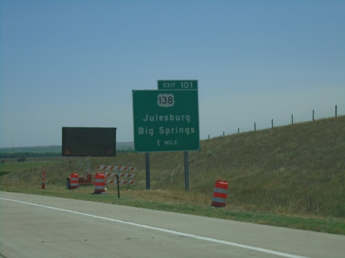
Distance marker on US-138 east. Distance to Julesburg and Big Springs (NE). US-138 is part of the South Platte River Trail Scenic Byway.
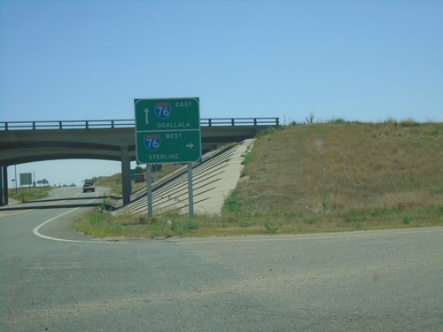
US-385 South at I-76
US-385 South at I-76 (Exit 180). Use I-76 west to Sterling; I-76 east to Ogallala (NE). This is the first (or last depending on direction) exit in Colorado on I-76.
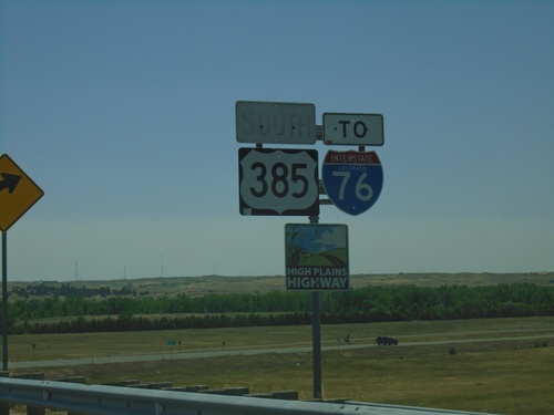
US-385 South/To I-76 - Julesburg
US-385 South/To I-76 - Julesburg. US-385 is marked as the High Plains Highway south to Cheyenne Wells.
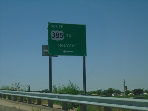
US-138 West Offramp at US-385 South
US-138 West Offramp at US-385 South in Julesburg. Turn left for US-385 south to Holyoke.
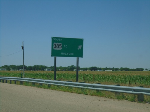
US-138 West at US-385
US-138 West at US-385 interchange. Exit for US-385 south to Holyoke. Continue straight for US-385 North/US-138 West.
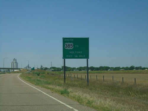
US-138 West Approaching US-385
US-138 West approaching US-385 in Julesburg. Use US-385 South for Holyoke. US-385 North joins US-138 West through Julesburg.
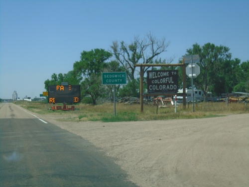
US-138 West - Entering Colorado
Welcome to Colorful Colorado - Sedgwick County on US-138 west. The electronic message board reads “Face Masks Required” (this being the COVID-19 summer of 2020).
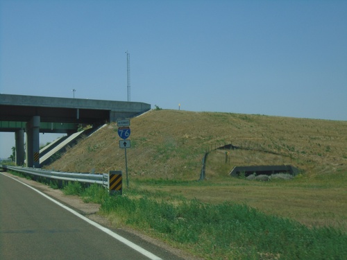
US-138 West/I-76 Alternate West
US-138 West/I-76 Alternate West passing under I-80 (Exit 101) overpass. Use US-138 west as I-76 alternate.
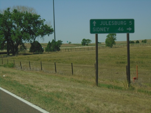
US-138 West at I-80 West (Exit 101)
US-138 West at I-80 West (Exit 101) to Sidney. Continue west on US-138 for Julesburg (CO).
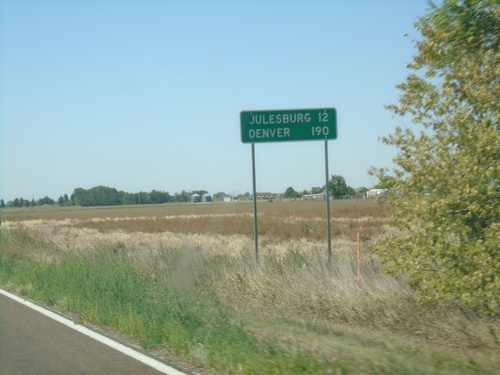
US-138 West - Distance Marker
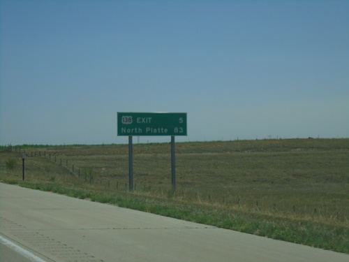
Distance marker on US-138 west. Distance to Julesburg and Denver (both in Colorado).
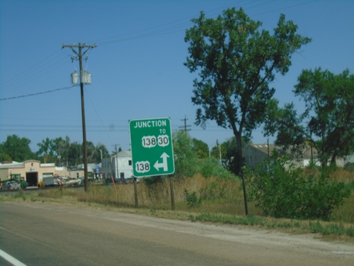
End NE-25B Link North at US-138
End NE-25B Link North at US-138 in Big Springs. Continue straight for US-138 East to US-30; turn left for US-138 West.
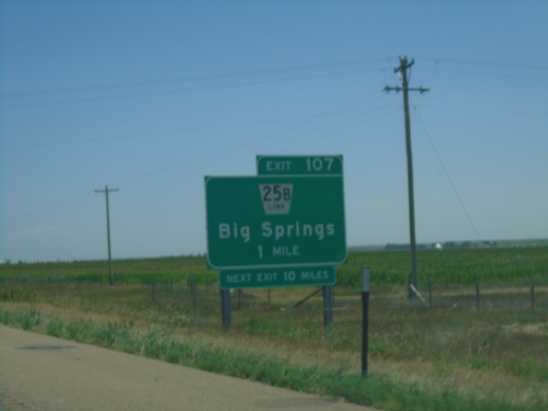
I-80 East - Exit 107
I-80 east approaching Exit 107 - NE-25B Link/Big Springs. Next exit eastbound on I-80 is 10 miles.
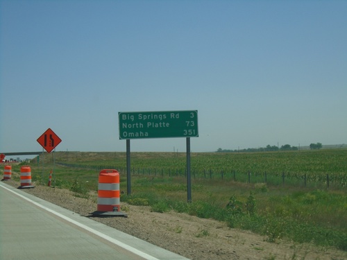
I-80 East - Distance Marker
Distance marker on I-80 east. Distance to Big Springs Road, North Platte, and Omaha.
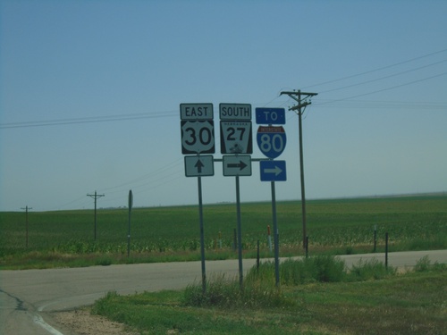
US-30 East/NE-27 South at NE-27 South/To I-80
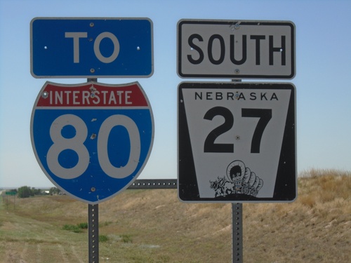
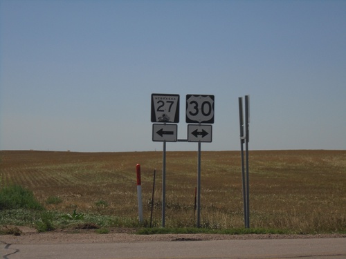
US-30 East/NE-27 South at NE-27 South/To I-80 in Deuel County.
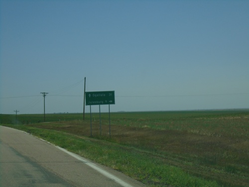
US-30 East/NE-27 South at US-30/NE-27 Split
US-30 East/NE-27 South at US-30/NE-27 split in Deuel County. Turn right for NE-27 south to Julesburg (Colorado). Continue east on US-30 for Ogallala.
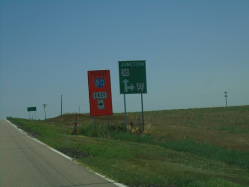
US-30 East/NE-27 South at US-30/NE-27 Split
US-30 East/NE-27 South at US-30/NE-27 split in Deuel County. Turn right for NE-27 south and for I-80 east detour. At the time this photo was taken there was construction on the I-80/I-76 interchange with a truck detour.
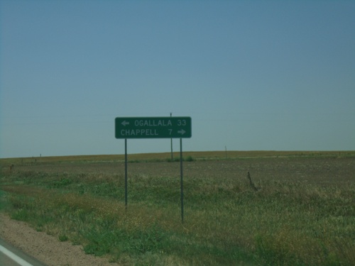
NE-27 South at US-30
NE-27 South at US-30 in Deuel County. Turn right for US-30 west to Chappell; left for US-30 east/NE-92 south to Ogallala.
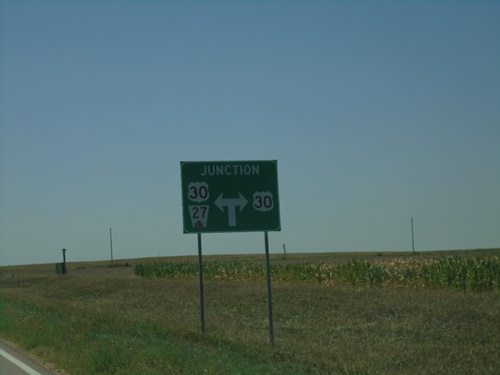
NE-27 South Approaching US-30
NE-27 South approaching US-30 in Deuel County. NE-27 south follows US-30 east briefly.
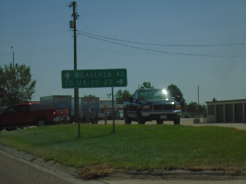
US-26 East/NE-92 East At NE-27
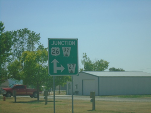
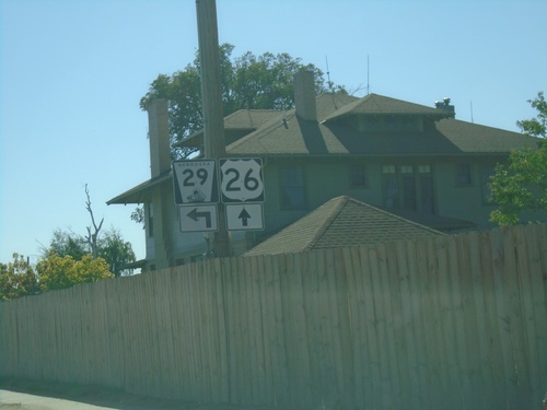
US-26 East/NE-92 East at NE-27 South in Oshkosh. Turn right for NE-27 to US-30 Jct; continue straight on US-26 East/NE-92 East for Ogallala.
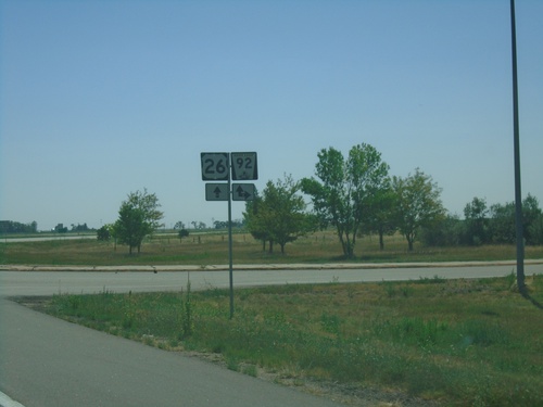
US-26 East at NE-92
US-26 East at NE-92 in Broadwater. Turn right for NE-92 West; straight for US-26/NE-92 East.
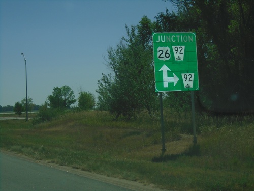
US-26 East Approaching NE-92
US-26 East approaching NE-92 in Broadwater. Turn left for NE-92 west; continue straight for US-26 East/NE-92 East. NE-92 East joins US-26 eastbound to Lewellen.
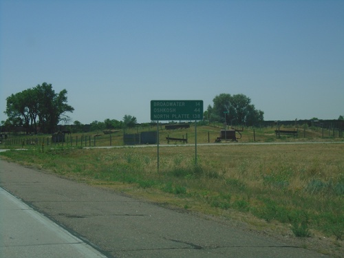
US-26 East - Distance Marker
Distance marker on US-26 east. Distance to Broadwater, Oshkosh, and North Platte (via I-80).
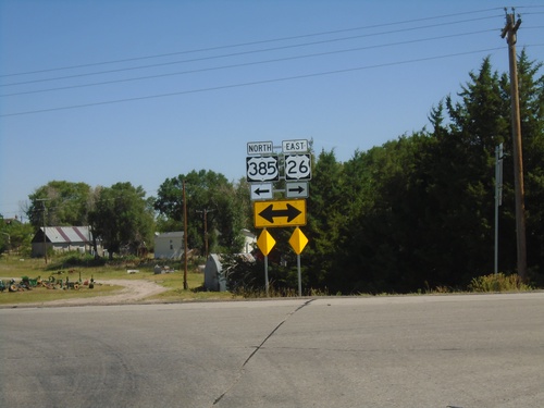
US-385 North/US-26 East at US-385/US-26 Split
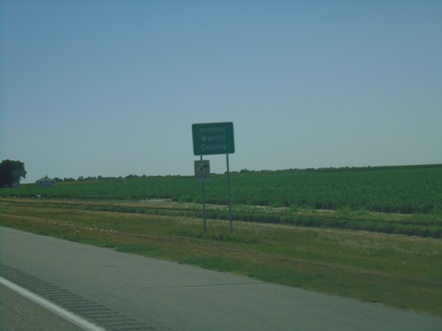
US-385 North/US-26 East at US-385/US-26 split in Morrill County.
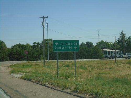
US-26 East/US-385 North Approaching US-26/US-385 Split
US-26 East/US-385 North approaching US-26/US-385 split. Turn left for US-385 North to Alliance; left for US-26 East to Oshkosh.
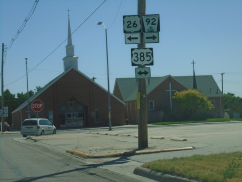
US-26/NE-92 East at NE-92/US-385
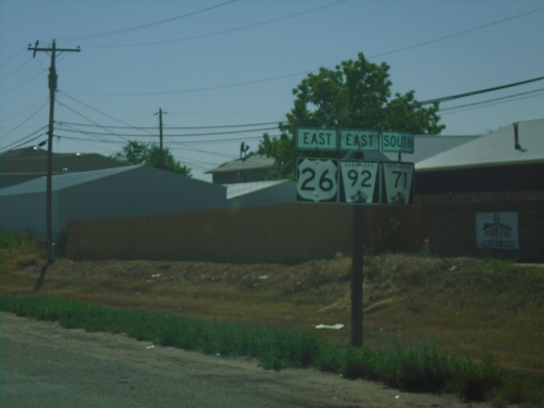
US-26/NE-92 East at NE-92 East/US-385 in Bridgeport. Turn right for US-385 South/NE-92 East; turn left for US-26 East/US-385 North. US-385 North joins US-26 East through Bridgeport.
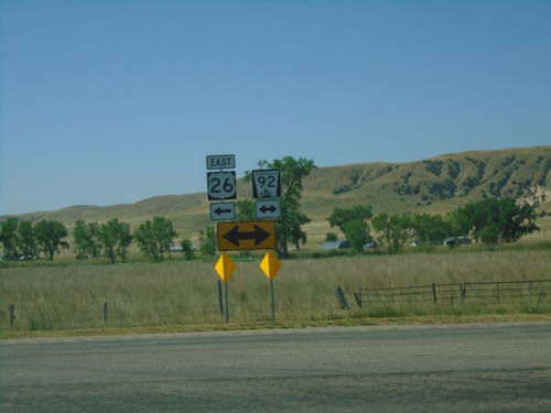
US-26 East at NE-92
US-26 East at NE-92 in Morrill County. Turn right for NE-92 West; left for US-26/NE-92 East.
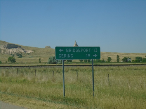
US-26 East Approaching NE-92
US-26 East approaching NE-92. Use NE-92 West for Gering; US-26/NE-92 East for Bridgeport.
US-26 East Approaching NE-92
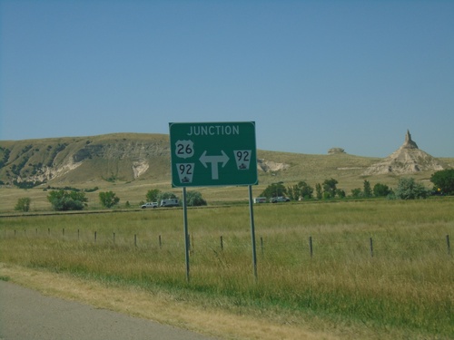
US-26 East Approaching NE-92 in Morrill County. NE-92 East joins US-26 east to Bridgeport. Chimney Rock is in the background of the photo.
US-26 East Approaching NE-62A Link
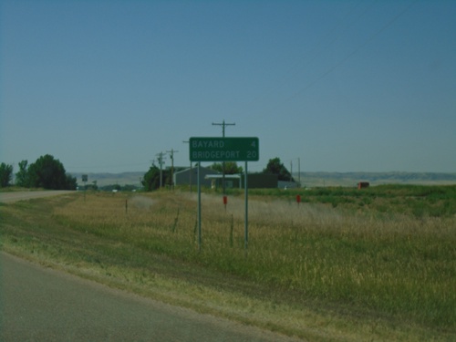
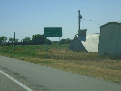
US-26 East approaching NE-62A Link. Use NE-62A Link East to Alliance (via US-385 north). Merge right to continue east on US-26 for Bayard and Bridgeport.
US-26 East Approaching NE-62A Link/To US-385
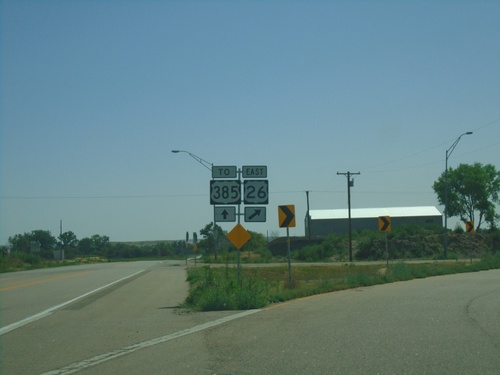
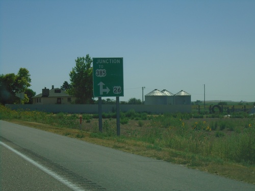
US-26 East Approaching NE-62A Link/To US-385. Turn right to continue east on US-26.
US-26 East at NE-79E Link South to NE-92
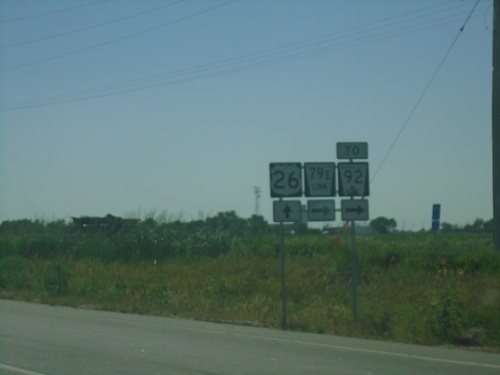
US-26 East at NE-79E Link South to NE-92 in Scotts Bluff County.
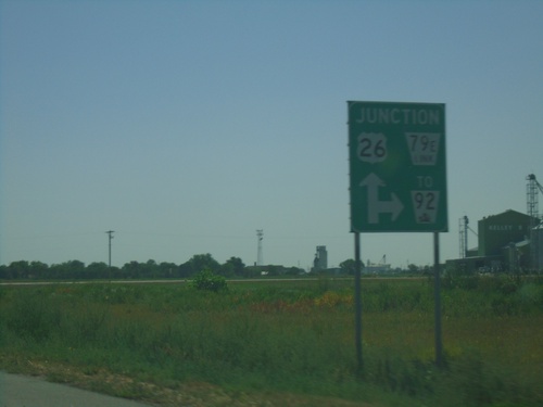
US-26 East Approaching NE-79E Link South to NE-92
US-26 East Approaching NE-79E Link South to NE-92 in Scotts Bluff County.
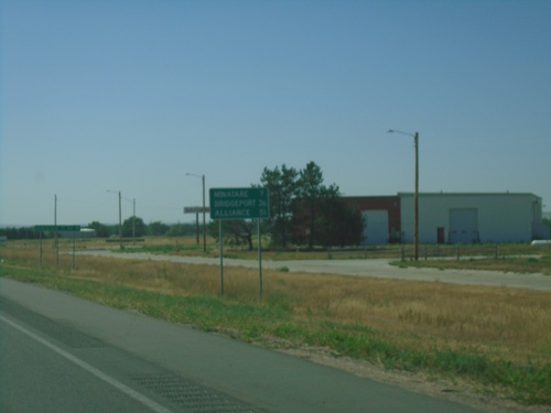
US-26 East - Distance Marker
Distance marker on US-26 east. Distance to Minitare, Bridgeport, and Alliance.
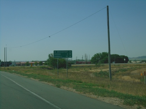
US-26/NE-92 East/NE-71 South at NE-92/NE-71
US-26/NE-92 East/NE-72 South at NE-92 East/NE-71 South to Gering and Kimball. Continue east on US-26 for Bridgeport.
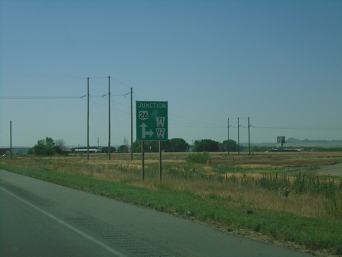
US-26/NE-92 East/NE-71 South approaching NE-92/NE-71 Junction
US-26/NE-92 East/NE-71 South approaching NE-92/NE-71 Junction in Scotts Bluff County.
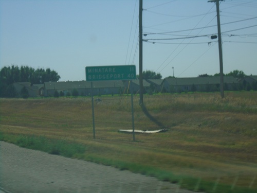
US-26/NE-92 East/NE-71 South - Distance Marker
Distance Marker on US-26/NE-92 East/NE-71 South. Distance to Minatare and Bridgeport.
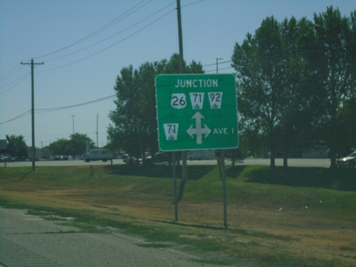
US-26/NE-92 East Approaching NE-71 North
US-26/NE-92 East approaching NE-71 North and Ave I. NE-71 South joins US-26/NE-92 east through Scottsbluff.
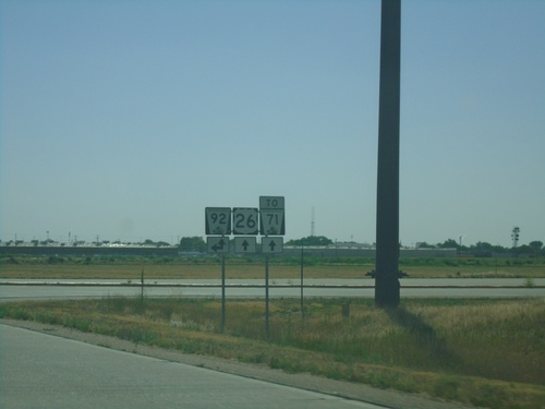
US-26 East at NE-92
US-26 East at NE-92 in Scotts Bluff County. Turn left for NE-92 West; continue straight for US-26/NE-92 East and for NE-71.
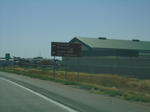
US-26 East Approaching NE-92
US-26 East approaching NE-92 in Scotts Bluff County. Use NE-92 West for Scotts Bluff National Monument and Riverside Park-Zoo.
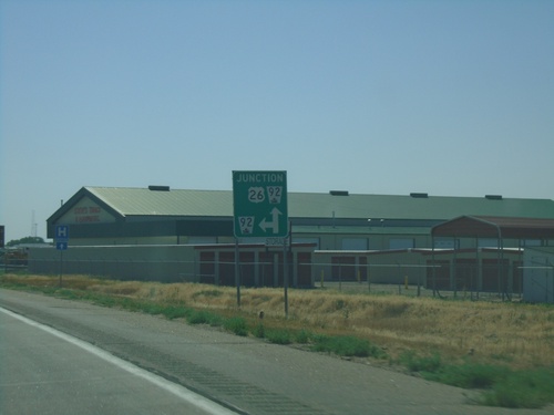
US-26 East Approaching NE-92
US-26 East approaching NE-92 in Scotts Bluff County. NE-92 east joins US-26 eastbound.
US-26 East - Distance Marker
Distance marker on US-26 east. Distance to Morrill and Scottsbluff. This is the first distance marker eastbound on US-26 in Nebraska.
US-26 East - Scotts Bluff County
US-26 East shield Scotts Bluff County. This is the first US-26 shield eastbound in Nebraska.
US-26 East - Distance Marker
Distance marker on US-26 east. Distance to (Nebraska) State Line and Scottsbluff (NE).
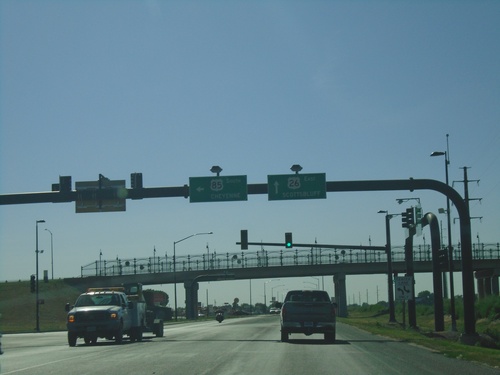
US-26 East/US-85 South at US-26/US-85 Split
US-26 East/US-85 South at US-26/US-85 Split in Torrington. Turn left for US-85 South to Cheyenne. Continue straight for US-26 East to Scottsbluff (NE).
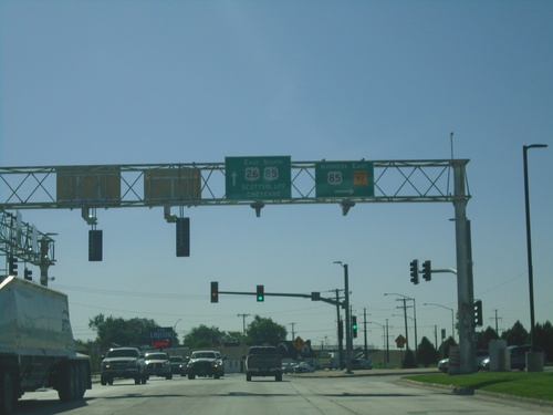
US-26 East/US-85 South at Bus. US-85/WY-92
US-26 East/US-85 South at Bus. US-85/WY-92. Turn right for Bus. US-85/WY-92. Continue on US-26 East/US-85 South for Scottsbluff (NE) and Cheyenne.
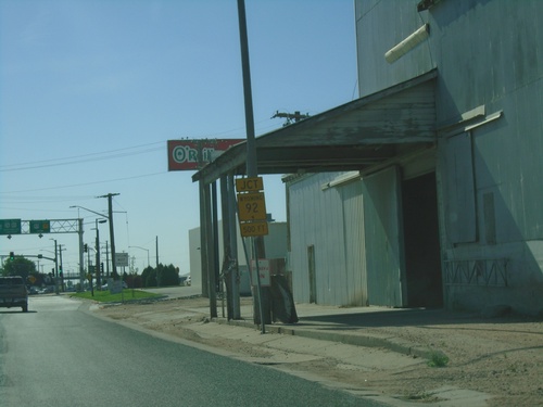
US-26 East/US-85 South Approaching WY-92/Bus. US-85
US-26 East/US-85 South Approaching WY-92/Bus. US-85 in Torrington.
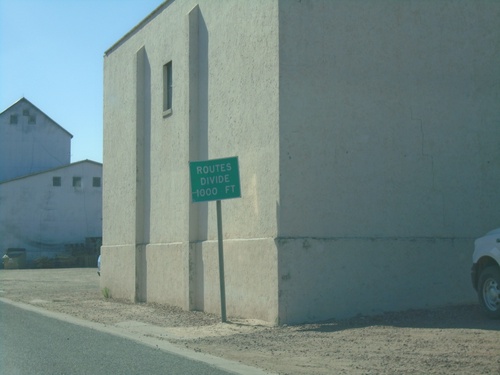
US-26 East/US-85 South - Routes Divide
US-26 East/US-85 South approaching US-26/US-85 split in Torrington.
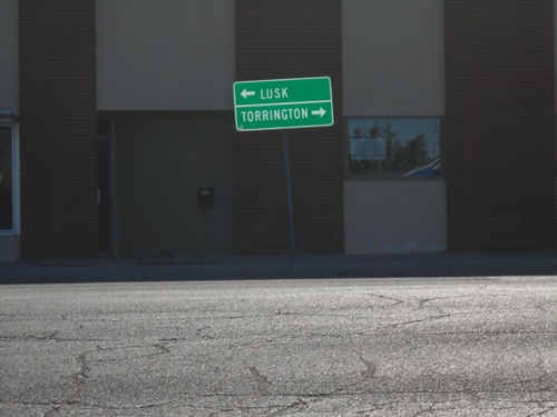
US-26 East at US-85
US-26 East at US-85 in Lingle. Turn left for US-85 North to Lusk; turn right for US-26 East/US-85 South to Torrington.
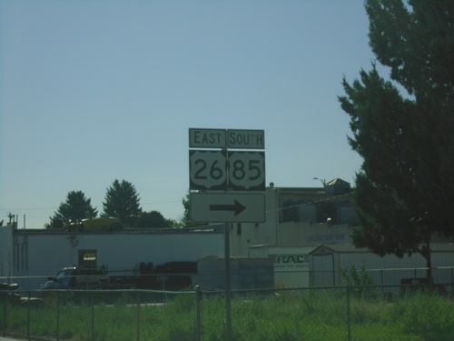
US-26 East Approaching US-85
US-26 East approaching US-85 in Lingle. Turn right for US-26 East/US-85 South. US-85 South joins US-26 West to Torrington.
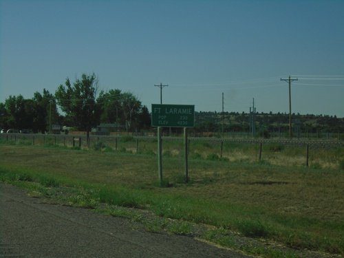
US-26 East - Fort Laramie
Entering Fort Laramie on US-26 west. Elevation 4320. Population 230. The town of Fort Laramie is adjacent to the site of the old Fort Laramie at the confluence of the Laramie River and the North Platte River.
US-26 East - Distance Marker
Distance marker on US-26 east. Distance to Gurnsey, Fort Laramie, and Torrington.
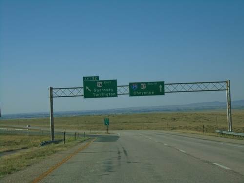
I-25 South - Exit 92
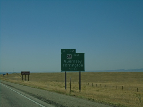
I-25 south at Exit 92 - US-26 East/Guernsey/Torrington. US-26 east leaves I-25 here, and follows the North Platte River into Nebraska.
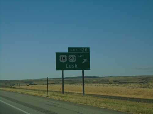
I-25 South - Exit 126
I-25 south at Exit 126 - US-18/US-20 East/Lusk. This is the western end of US-18. US-20 leaves I-25 southbound here.
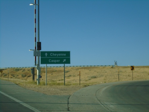
End BL-25/Bus. US-20/Bus. US-26/Bus. US-87 at I-25/US-20/US-26/US-87
End BL-25/Bus. US-20/Bus. US-26/Bus. US-87 at I-25/US-20/US-26/US-87 (Exit 135). Merge right for I-25 north to Casper; left for I-25 south to Cheyenne. This is the south end of the Douglas business loop.
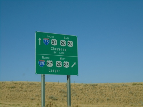
End BL-25/Bus. US-20/Bus. US-26/Bus. US-87 at I-25/US-20/US-26/US-87
End BL-25/Bus. US-20/Bus. US-26/Bus. US-87 at I-25/US-20/US-26/US-87 in Douglas (Exit 135). Merge right for I-25/US-87 North US-20/US-26 West to Casper; left for I-25/US-87 South US-20/US-26 East to Cheyenne.
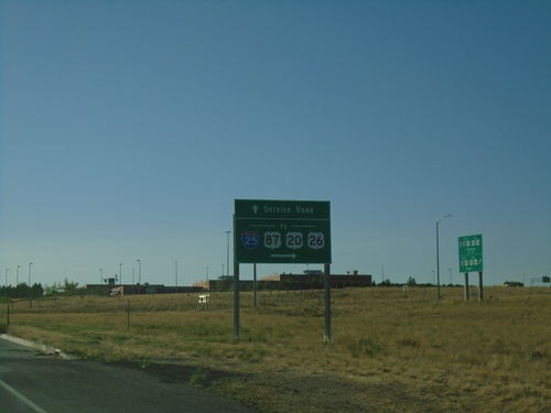
BL-25/Bus. US-20/Bus. US-26/Bus. US-87 at I-25/US-20/US-26/US-87
BL-25/Bus. US-20/Bus. US-26/Bus. US-87 at I-25/US-20/US-26/US-87 (Exit 135) in Douglas. Continue straight for Service Road.
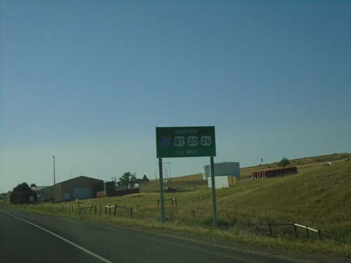
BL-25/Bus. US-20/Bus. US-26/Bus. US-87 Approaching I-25/US-20/US-26/US-87 in Douglas
BL-25/Bus. US-20/Bus. US-26/Bus. US-87 Approaching I-25/US-20/US-26/US-87 in Douglas. This is the south end of the Douglas business loop.
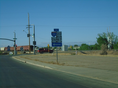
To I-25/US-20/US-26/US-87 - Douglas
To I-25/US-20/US-26/US-87 on BL-25/Bus. US-20/Bus. US-26/Bus. US-87 in Douglas. Turn left on S. Richards St. to continue southbound on the Douglas business loop.
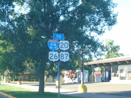
BL-25/Bus. US-20/Bus. US-26/Bus. US-87 - Douglas
BL-25/Bus. US-20/Bus. US-26/Bus. US-87/To I-25 (S 4th St.) in Douglas
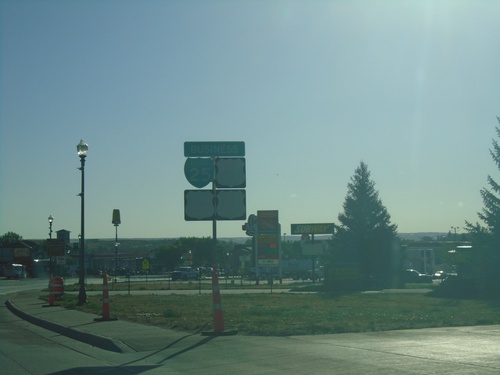
BL-25/Bus. US-20/Bus. US-26/Bus. US-87 - Douglas
Very faded shields for BL-25/Bus. US-20/Bus. US-26/Bus. US-87 (W Yellowstone Highway) in Douglas.
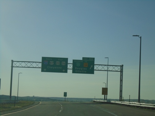
I-25 South - Exit 140
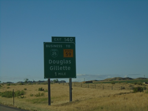
I-25 south at Exit 140 - BL-25/To WY-59/Douglas/Gillette. Continue south on I-25/US-20/US-26/US-87 to Cheyenne.
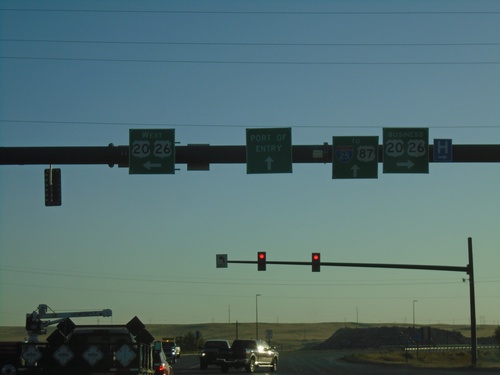
End WY-257 North at US-20/US-26 and Bus. US-20/Bus. US-26
End WY-257 North at US-20/US-26 and Bus. US-20/Bus. US-26. Continue straight for US-20/US-26 East/To I-25/US-87 to Port of Entry. Turn right for Bus. US-20/US-26 East. Turn left for US-20/US-26 West.
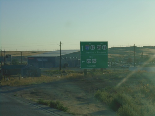
WY-257 North at US-20/US-26/Bus. US-20/Bus. US-26
WY-257 North at US-20/US-26/Bus. US-20/Bus. US-26 in Casper. Turn left for US-20/US-26 West to Shoshoni. Continue straight for US-20/US-26 East to I-25/US-87 to Sheridan and Cheyenne. Turn right for Bus. US-20/Bus. US-26 (Yellowstone Highway). WY-257 north ends here.
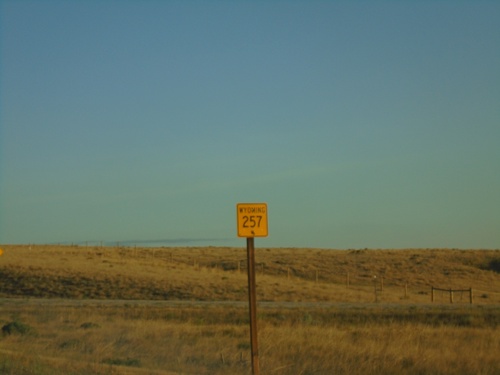
WY-257 North - Natrona County
WY-257 North in Natrona County. WY-257 is the belt line around the west side of Casper.
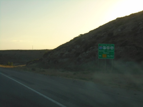
WY-220 East Approaching WY-257
WY-220 East approaching WY-257. WY-257 is a bypass around the west side of Casper. Use WY-257 north for I-25/US-20/US-26/US-87 to Sheridan (via I-25 North), Cheyenne (via I-25 South) and Shoshoni (via US-20/US-26 West).
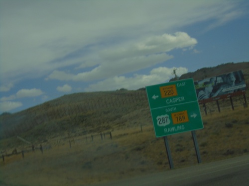
US-287 South/WY-789 South at WY-220
US-287 South/WY-789 South at WY-220 in Carbon County. Turn right to continue south on US-287/WY-789 to Rawlins; turn left for WY-220 East to Casper.
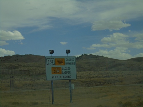
US-287/WY-789/WY-220 Closed When Lights Flashing
US-287/WY-789 Closed to Rawlins and WY-220 Closed to Casper when Lights Flashing at junction of US-287/WY-789 and WY-220.
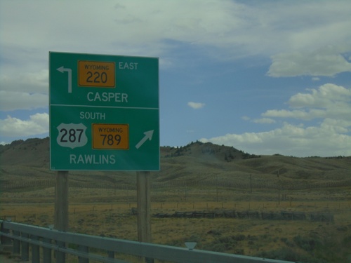
US-287/WY-789 South at WY-220
US-287/WY-789 South at WY-220 in Carbon County. Turn right to continue south on US-287/WY-789 to Rawlins. Use WY-220 East to Casper.
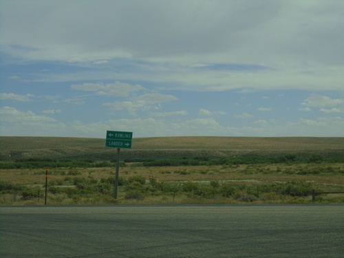
End WY-135 South at US-287/WY-789
End WY-135 South at US-287/WY-789 in Sweetwater Station. Turn left for US-287/WY-789 South to Rawlins/ left for US-287/WY-789 North to Lander.
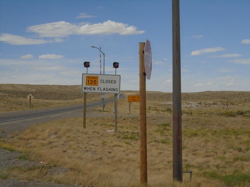
WY-135 North - Road Closed When Flashing
WY-135 North - Road Closed When Flashing at Sweetwater Junction.
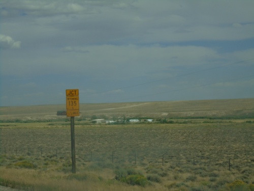
US-287/WY-789 South Approaching WY-135
US-287/WY-789 South approaching WY-135 at Sweetwater Junction.
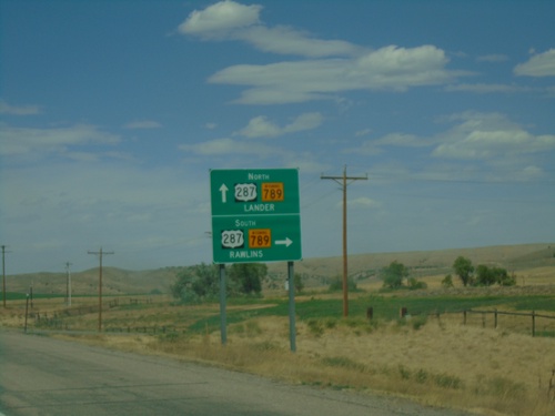
End WY-28 at US-287/WY-789
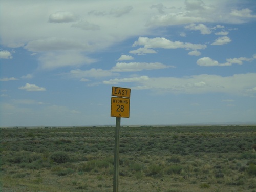
End WY-28 at US-287/WY-789. Turn right for US-287/WY-789 South to Rawlins. Continue straight for US-287/WY-789 North to Lander.
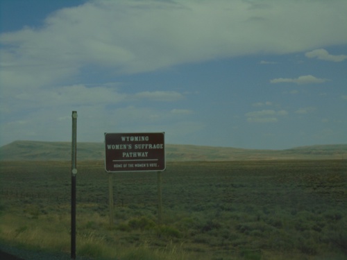
WY-28 East - Wyoming Women Suffrage Pathway
WY-28 East - Wyoming Women’s Suffrage Pathway - Home of the Woman’s Vote. The Wyoming Women’s Suffrage Pathway is a 19 mile stretch of WY-28 over South Pass commemorating the 150th anniversary of the Wyoming law allowing women the right to vote.
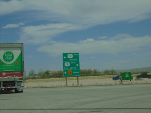
WY-28 East at US-191
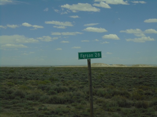
WY-28 east at US-191 in Farson. Turn left for US-191 North to Pinedale; right for US-191 South to Rock Springs. Continue straight on WY-28 East for Lander.
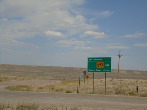
WY-372 South - Fontenelle
WY-372 South at Fontenelle junction. Turn left for Fontenelle; right to continue south on WY-372 for Green River and Farson.
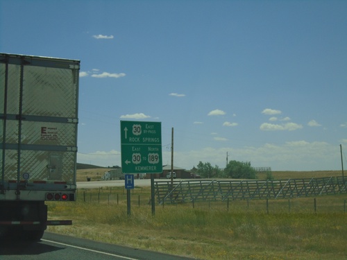
US-30 East at Bypass US-30
US-30 East at Bypass US-30 in Kemmerer. Use Bypass US-30 for Rock Springs; use US-30 for US-189 North and Kemmerer.
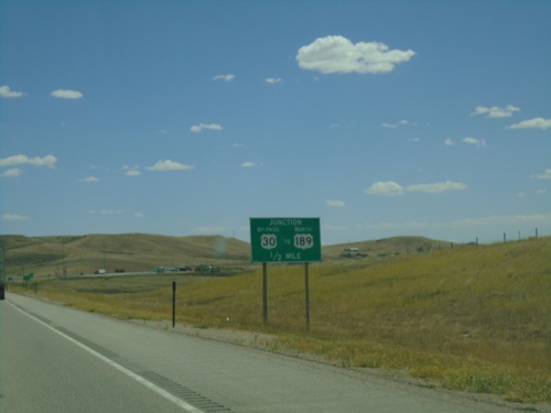
US-30 East Approaching Bypass US-30
US-30 East approaching Bypass US-30, which bypasses Kemmerer. Continue on US-30 for US-189 North.
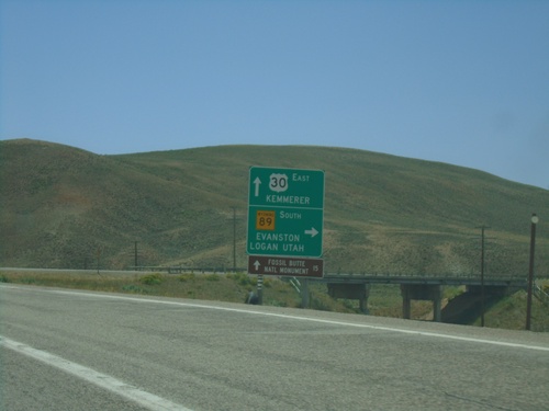
US-30 East/WY-89 South at Sage Junction
US-30 East/WY-89 South at Sage Junction. Turn right to continue south on WY-89 to Evanston (via UT-16 and UT-30) and Logan (Utah). Continue straight for US-30 east to Kemmerer and Fossil Butte National Monument.
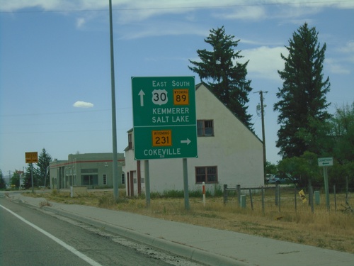
US-30 East/WY-89 South at WY-231/WY-232
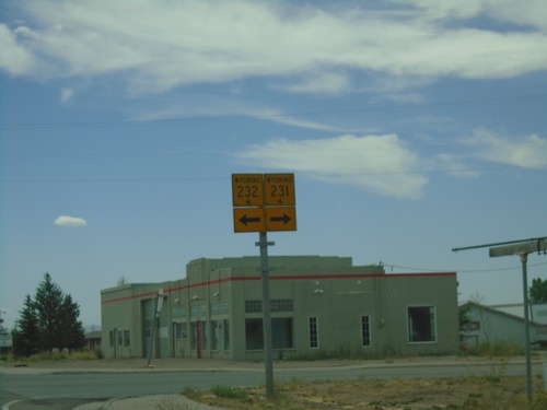
US-30 East/WY-89 South at WY-231/WY-232 in Cokeville. Turn right for WY-231 west to Cokeville. Continue straight for US-30 East/WY-89 South to Kemmerer (via US-30) and Salt Lake (Utah, via WY-89).
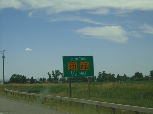
US-30 East/WY-89 South Approaching WY-231/WY-232
US-30 East/WY-89 South approaching WY-231/WY-232 in Cokeville.
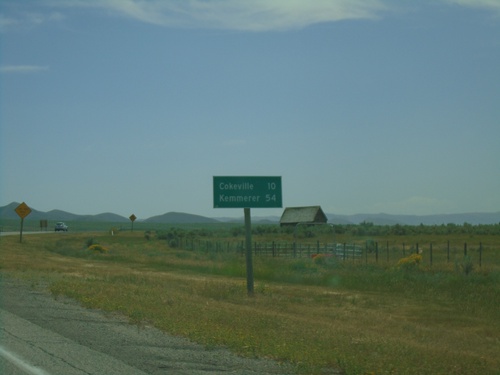
US-30 East/WY-89 South - Distance Marker
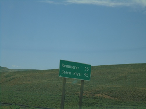
Distance marker on US-30 East/WY-89 South. Distance to Cokeville and Kemmerer. This is the first distance marker on US-30 east in Wyoming.
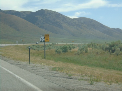
US-30 East/WY-89 South - Lincoln County
US-30 East/WY-89 South in Lincoln County. This is the first US-30 shield eastbound in Wyoming.
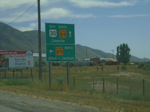
US-30 East at WY-89 - Border Junction
US-30 East at WY-89 at Border Junction. Turn left for WY-89 north to Afton and Jackson; continue straight for US-30/WY-89 South to Cokeville. WY-89 south joins US-30 east to Sage Junction.
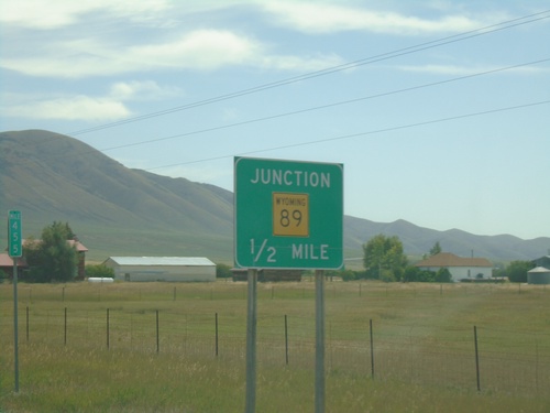
US-30 East Approaching WY-89
US-30 East approaching WY-89 at Border Junction. WY-89 south joins US-30 east to Sage Junction. While the upcoming junction is in Wyoming, this picture is in Idaho. Milemarker 455 of US-30 in Idaho is in the background.
US-30 East - Distance Marker
Distance marker on US-30 east. Distance to Border, Cokeville, and Kemmerer. All three destinations are in Wyoming.
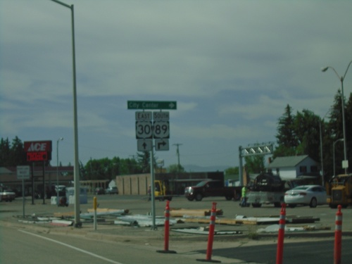
US-30 East/US-89 South at US-30/US-89 Split
US-30 East/US-89 South at US-30/US-89 split in Montpelier. Turn left for US-89 south to (Montpelier) City Center.
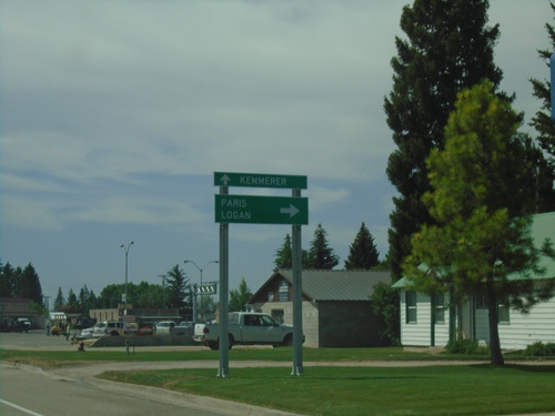
US-30 East/US-89 South at US-30/US-89 Split
US-30 East/US-89 South at US-30/US-89 split in Montpelier. Turn right on US-89 south for Paris and Logan (Utah). Continue east on US-30 for Kemmerer (Wyoming).
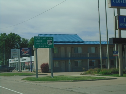
US-30 East/US-89 South approaching US-89
US-30 East/US-89 South approaching US-89/US-30 split in Montpelier. Use US-89 south for Bear Lake Area, Logan (UT), and Salt Lake (UT).
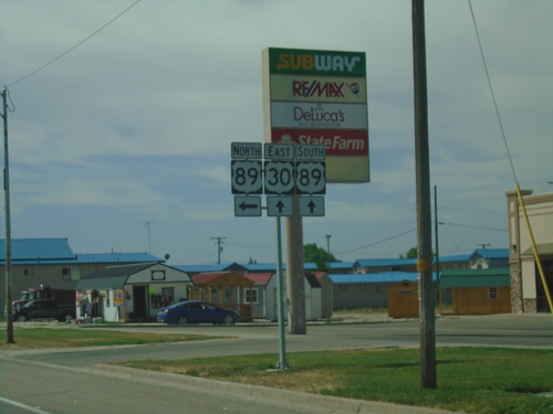
US-30 East at US-89 South - Montpelier
US-30 East at US-89 South in Montpelier. US-89 south joins US-30 east for a few blocks through Montpelier.
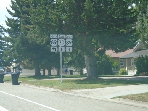
US-30 East at US-89 - Montpelier
US-30 East at US-89 in Montpelier. US-89 south joins US-30 east for a few blocks through Montpelier.
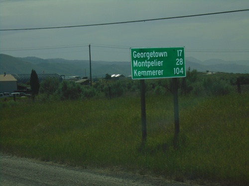
US-30 East - Distance Marker
Distance marker on US-30 east. Distance to Georgetown, Montpelier, and Kemmerer (Wyoming).
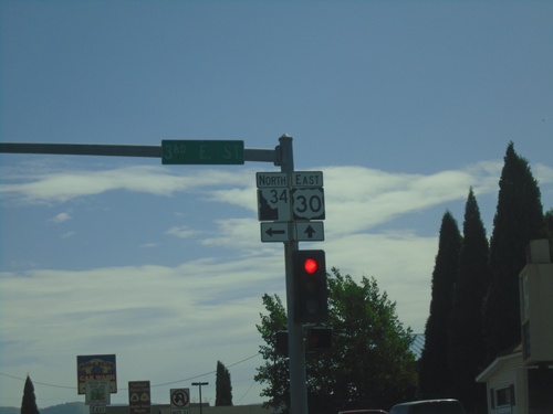
US-30 East/ID-34 North at US-30/ID-34 Split
US-30 East/ID-34 North at US-30/ID-34 split in Soda Springs. Turn left to continue north on ID-34. The ID-34 shield pictured here is the new style of Idaho state highway shield.
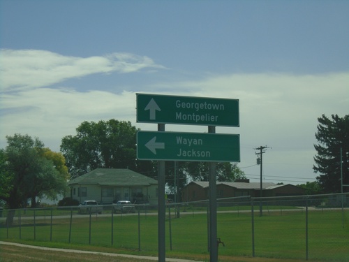
US-30 East/ID-34 North Approaching US-30/ID-34 Split
US-30 East/ID-34 North approaching US-30/ID-34 split in Soda Springs. Turn left for ID-34 north to Wayan and Jackson (Wyoming). Continue east on US-30 for Georgetown and Montpelier.
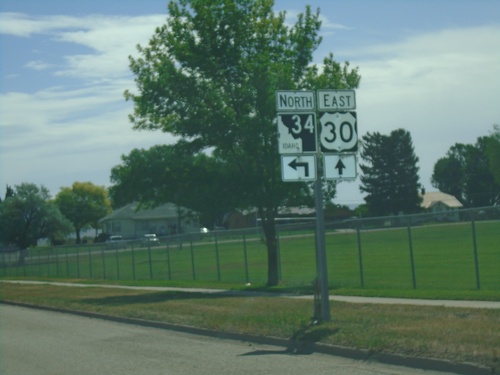
US-30 East/ID-34 North - Soda Springs
US-30 East/ID-34 North approaching US-30/ID-34 split in Soda Springs.
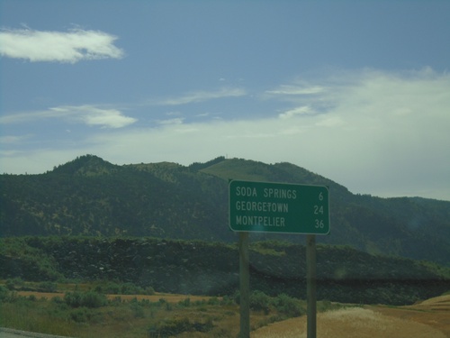
US-30 East/ID-34 North - Distance Marker
Distance marker on US-30 East/ID-34 North. Distance to Soda Springs, Georgetown, and Montpelier.
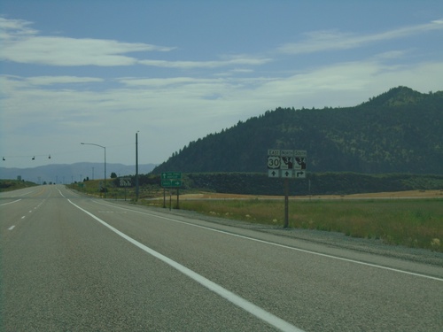
US-30 East Approaching ID-34
US-30 East approaching ID-34 in Caribou County. ID-34 joins US-30 eastbound into Soda Springs.
