Signs From October 2020
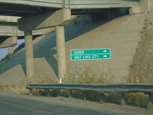
UT-13 North at I-15 South/I-84 East
UT-13 North at I-15 South/I-84 East (Exit 365) to Salt Lake City and Ogden.
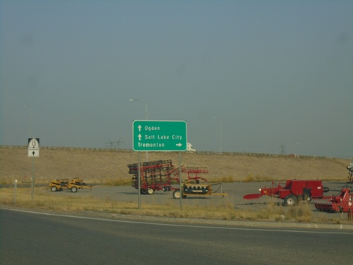
UT-13 North at I-15/I-84
UT-13 North/BL-15 North/BL-84 West at I-15/I-84 (Exit 365). Use I-15 North/I-84 West to Tremonton; I-15 South/I-84 East to Ogden and Salt Lake City.
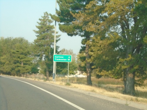
UT-13 North/BL-15 North/BL-84 West - Distance Marker
Distance Marker on UT-13 North/BL-15 North/BL-84 West. Distance to Tremonton and Corrine.
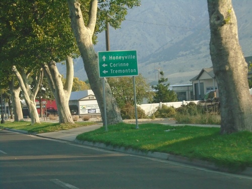
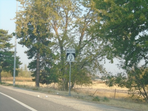
UT-13 North Approaching UT-38
UT-13 North/BL-15 North/BL-84 West approaching UT-38 in Brigham City. Use UT-38 north for Honeyville; use UT-13 North/BL-15 North/BL-84 West for Corrine and Tremonton.
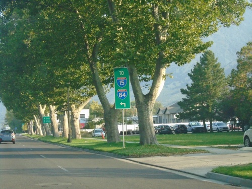
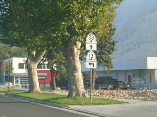
BL-15/BL-84/UT-15 North Approaching UT-38
BL-15/BL-84/UT-15 North (Main St.) approaching UT-38 in Brigham City. Merge left to continue north on UT-13 and for I-84 and I-15.
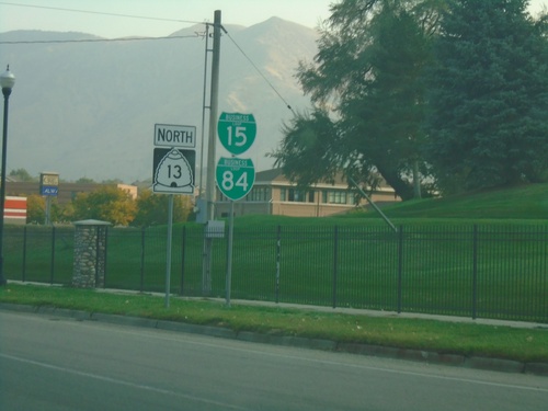
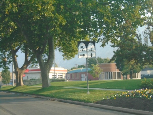
BL-15/BL-84/UT-13 North - Brigham City
BL-15 North/BL-84 West/UT-13 North (S. Main St.) in Brigham City.
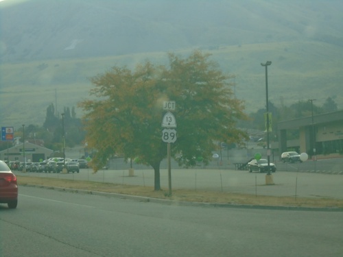
US-91 North at US-89/UT-13
US-91 north at US-89/UT-13. Use US-89 south for Perry. US-89 joins US-91 north to Logan.
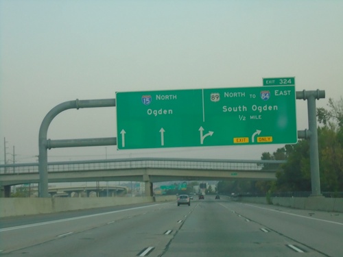
I-15 North - Exit 324
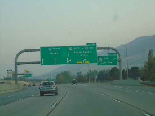
I-15 North approaching Exit 324 - US-89 North/To I-84 East/South Ogden. Continue north on I-15 to Ogden.
I-15 North - Exit 322
I-15 north at Exit 322 - UT-227 North/200 West. Approaching Exit 324 - US-89 North/To I-84 East/South Ogden. Continue north on I-15 to Ogden.
US-89 North Approaching UT-68
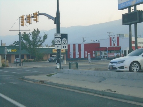
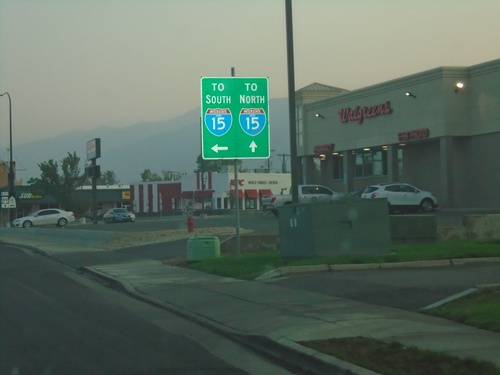
US-89 North Approaching UT-68 (W 500 S) in Bountiful. Turn left on UT-68/W 500 S for I-15 South. Continue north on US-89 for I-15 north.
400 South at I-15 (Exit 307)
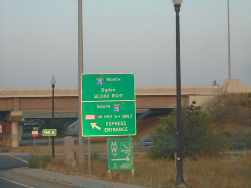
400 South at I-15 (Exit 307) in downtown Salt Lake City. Use I-15 North for Ogden. Express lane/HOV entrance for I-15 South.
I-80 East - Exit 121 and I-15 Junction
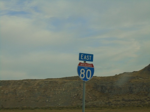
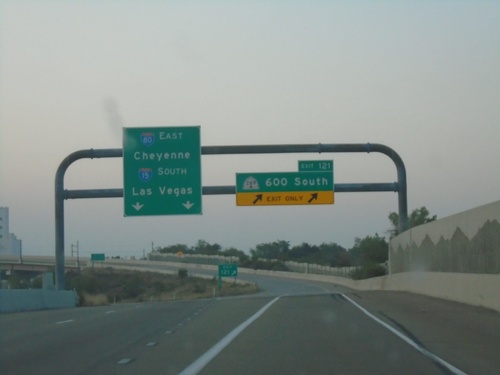
I-80 East at Exit 121 - UT-269 East/600 South. I-80 East (to Cheyenne, WY) joins I-15 South (to Las Vegas, NV) through downtown Salt Lake City.
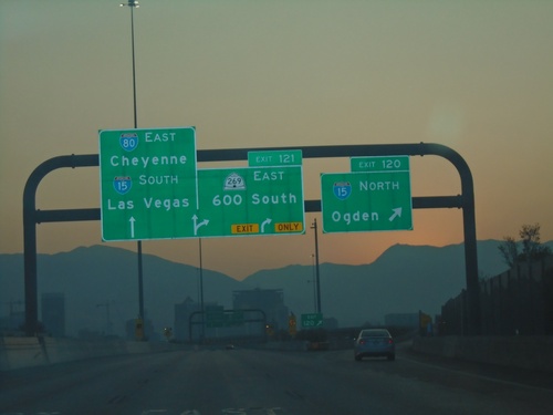
I-80 East - Exits 120 and 121
I-80 east at Exit 120 - I-15 North/Ogden. Approaching Exit 121 - UT-269 East/600 South. I-15 and I-80 join briefly through Salt Lake City. Continue on I-80 East for Cheyenne (Wyoming), and I-15 South for Las Vegas (Nevada).
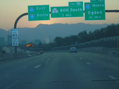
I-80 East - Exits 120 and 121
I-80 east approaching Exit 120 - I-15 North/Ogden. Also approaching Exit 121 - 600 South. Use left lanes for I-80 East and I-15 South. Speed Limit 65 MPH / Truck Speed 55 MPH.
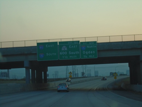
I-80 East - Exits 120 and 121
I-80 east approaching Exit 120 - I-15 North/Ogden; approaching Exit 121 - UT-269 East/600 South. Use left lanes for I-15 South and I-80 East.
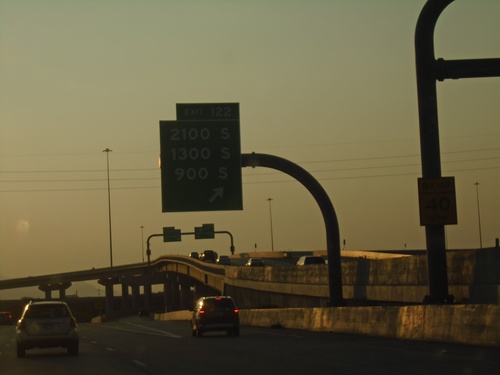
I-80 West - Exit 122
I-80 west at Exit 122 - 2100 S/1300 S/900 S. The interchange in the background is the southern I-80/I-15 interchange in Salt Lake City.
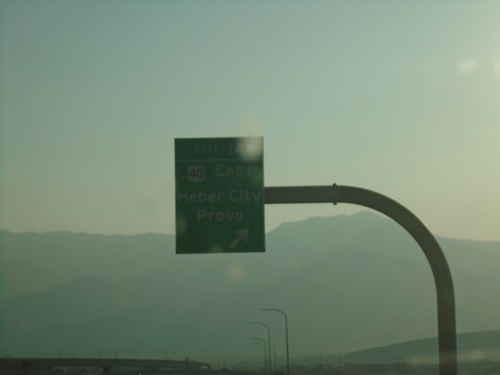
I-80 West - Exit 145
I-80 west at Exit 145 - US-40 East/Heber/Provo. This is the western end of US-40.
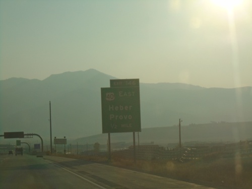
I-80 West - Exit 146
I-80 west approaching Exit 146 - US-40 East/Heber/Provo. The sky is hazy from all the western fires when this was taken. This is the western end of US-40.
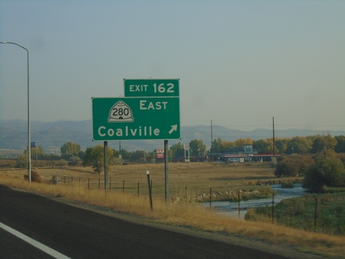
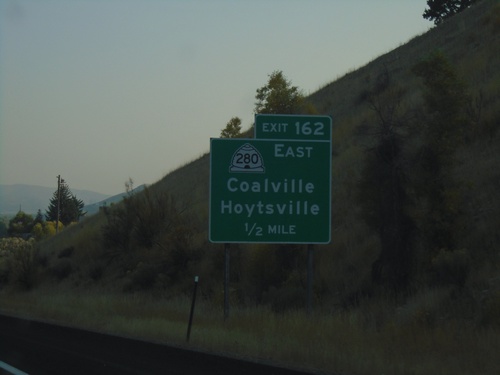
I-80 West - Exit 162
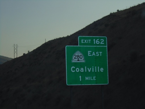
I-80 west at Exit 162 - UT-280 East/Coalville. The Weber River is in the background. Coalville is the county seat of Summit County.
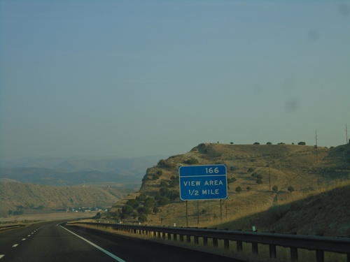
I-80 West Approaching View Area
I-80 West approaching View Area (166). Notice the exit tab area of the sign only has a number, not an EXIT text.
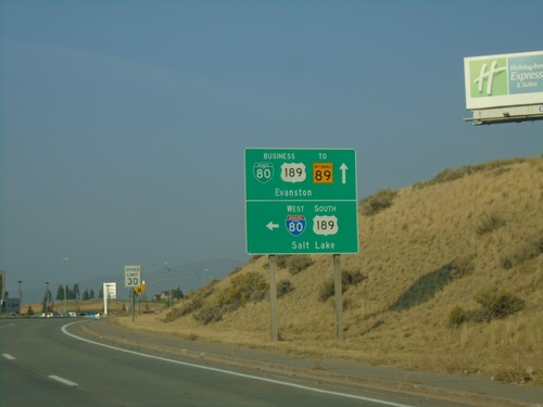
BL-80/Bus. US-189 East at I-80 West
BL-80/Bus. US-189 east at I-80 West/US-189 South (Exit 3) onramp to Salt Lake (Utah). Continue east on the business loop (Harrison Drive) for Evanston.
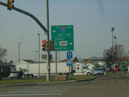
I-80 West (Exit 3) Offramp at BL-80/Bus. US-189
I-80 West (Exit 3) Offramp at BL-80/Bus. US-189 (Harrison Dr) in Evanston. Turn right for BL-80/US-189/Evanston; left on Harrison Dr for I-80 West to Salt Lake (Utah).
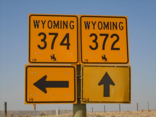
WY-372 North at WY-374
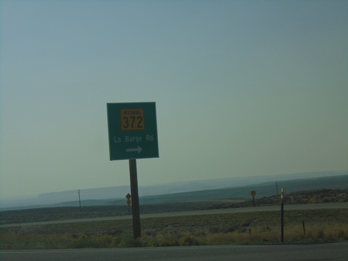
WY-374 Junction on WY-372 North (La Barge Road). WY-374 is a frontage road that runs between Green River and west of Granger. There is a gap in WY-374 between Little America and US-30.
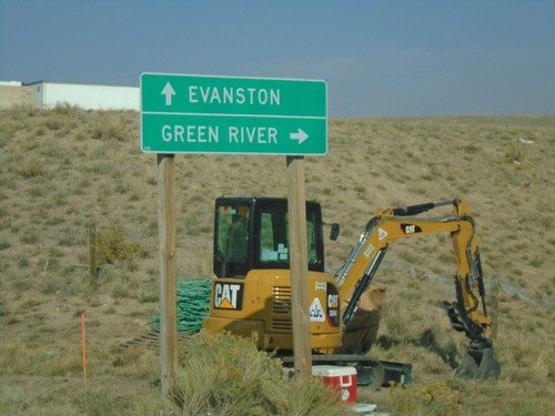
Covered Wagon Road at I-80
Covered Wagon Road at I-80 (Exit 85). Use I-80 west for Evanston; I-80 east for Green River.
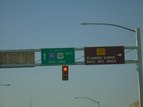
BL-80/Bus. US-30 West at WY-530
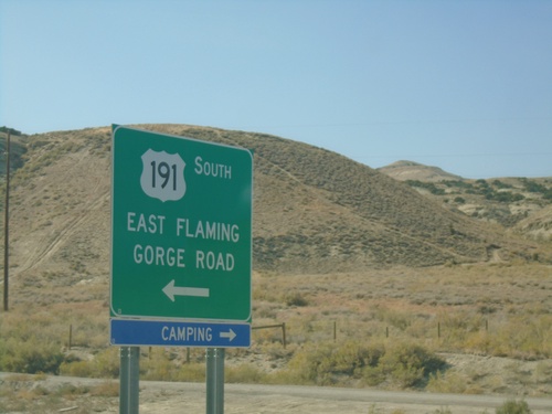
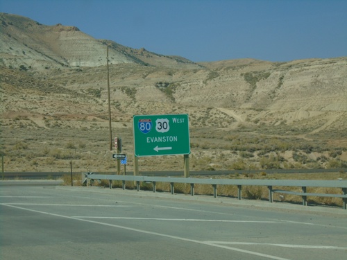
BL-80/Bus. US-30 west at WY-530. Use WY-530 south for the Flaming Gorge National Recreation Area. Continue on BL-80/Bus. US-30 west for I-80/US-30 and Salt Lake (Utah).
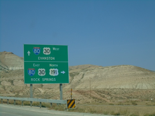
US-191 North at I-80/US-30
US-191 North at I-80/US-30 (Exit 99) in Sweetwater County. Turn right for I-80/US-30 East/US-191 North to Rock Springs. Continue over freeway for I-80/US-30 West to Evanston. US-191 north joins I-80 east to Rock Springs.
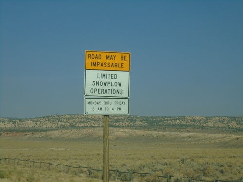
US-191 North - Snowplow Hours
US-191 North - Road May Be Impassable - Limited Snowplow Operations. Plowed Monday through Friday 8 AM to 4 PM.
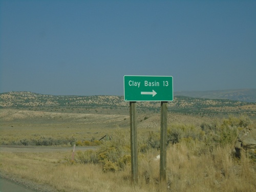
US-191 North - Clay Basin Jct.
US-191 north at Clay Basin junction. This road eventually becomes CO-318 in Colorado and provides access to the Green River at the Gates of Lodore.
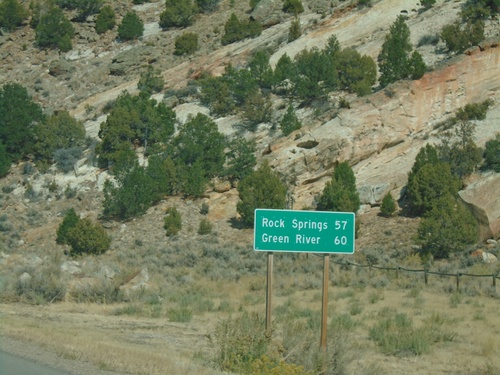
US-191 North - Distance Marker
Distance marker on US-191 north. Distance to Rock Springs and Green River. This is the first distance marker on US-191 northbound in Wyoming.
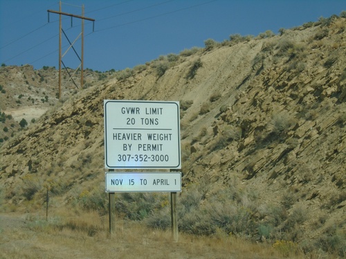
US-191 North - Weight Limits
Weight Limits on US-191 North in Wyoming. There is no Wyoming welcome sign on US-191 north (at least when this photo was taken). This was taken at the state line between Utah and Wyoming.
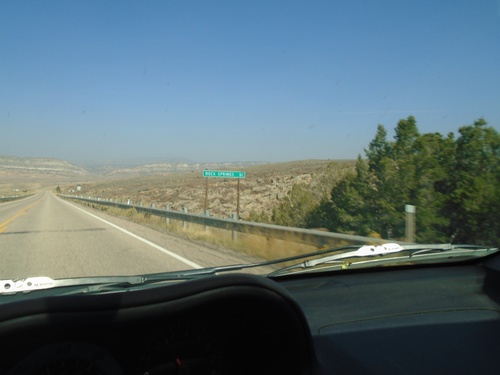
US-191 North - Distance Marker
Distance marker on US-191 north. Distance to Rock Springs (Wyoming). This is the last distance marker on US-191 north in Utah.
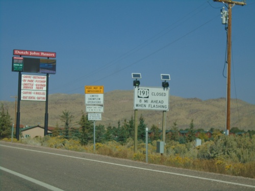
US-191 North - Winter Driving Information
Winter Driving information for US-191 north in Wyoming - 8 miles ahead.
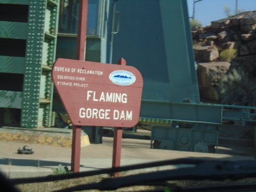
US-191 North - Flaming Gorge Dam
Flaming Gorge Dam on US-191 north. The Flaming Gorge Dam is on the Green River. Behind the dam is Flaming Gorge Reservoir which is part in Utah, and part in Wyoming.
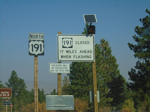
US-191 North - Daggett County
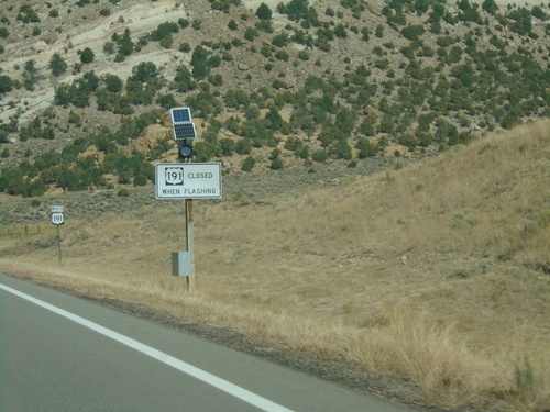
US-191 north in Daggett County. Winter closure sign for US-191 in Wyoming - 17 miles ahead. The winter closure sign appears to have been placed by the Wyoming DOT.
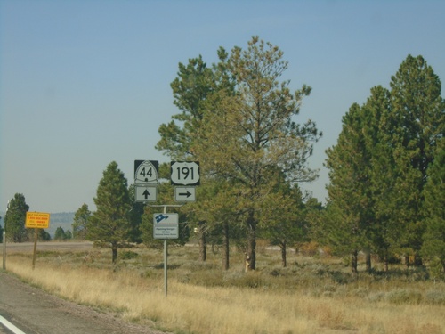
US-191 North at UT-44
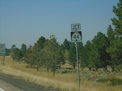
US-191 North (Flaming Gorge Uintas Scenic Byway) at UT-44 in Daggett County. Turn right to continue north on US-191.
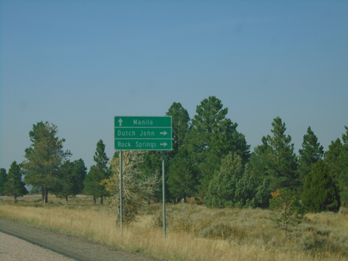
US-191 North at UT-44
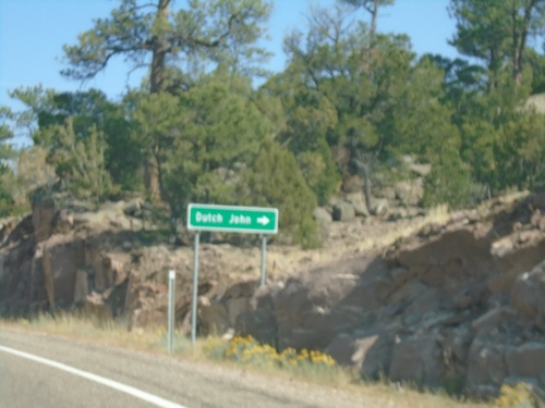
US-191 north at UT-44 junction in Daggett County. Turn right to continue on US-191 north to Dutch John and Rock Springs (Wyoming). Continue straight for UT-44 to Manila.
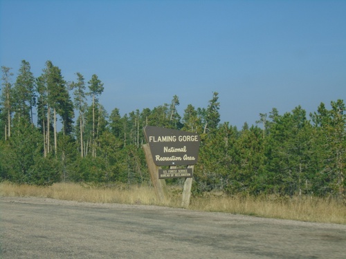
US-191 North - Flaming Gorge National Recreation Area
Entering the Flaming Gorge National Recreation Area on US-191 north.
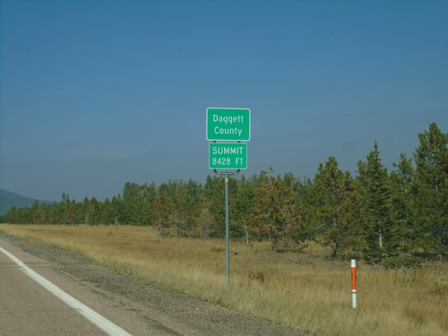
US-191 North - Daggett County
Entering Daggett County on US-191 North. Summit at Elevation 8428 Feet. Daggett County is the least populated county in Utah
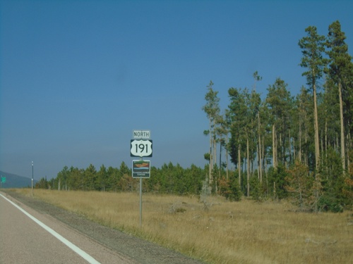
US-191 North - Flaming Gorge Uintas Scenic Byway
US-191 North - Flaming Gorge Uintas Scenic Byway in Uintah County.
US-191 North - Flaming Gorge Uintas Scenic Byway
US-191 North - Flaming Gorge Uintas Scenic Byway in Uintah County.
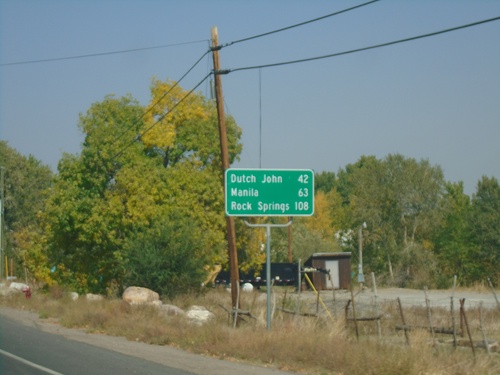
US-191 North - Distance Marker
Distance marker on US-191 north. Distance to Dutch John, Manila, and Rock Springs (Wyoming).
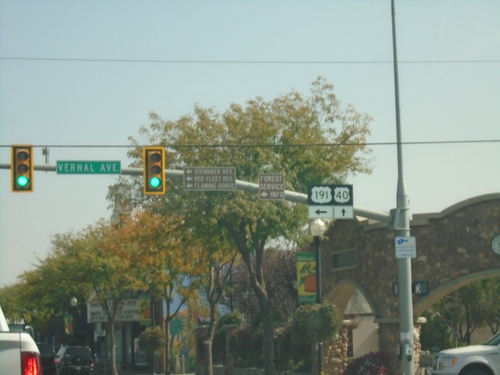
US-40 East/US-191 North at US-191 North
US-40 East/US-191 North (Main St.) at US-191 North (Vernal Ave.) to Steinaker Reservoir, Red Fleet Reservoir, and Flaming Gorge.
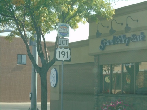
US-191 North/US-40 East Approaching US-191 North
US-191 North/US-40 East (Main St.) approaching US-191 North (Vernal Ave.) in Vernal.
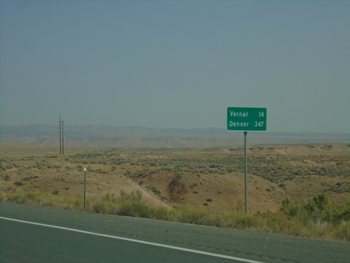
US-40 East/US-191 North - Distance Marker
Distance Marker on US-40 East/US-191 North. Distance to Vernal and Denver (Colorado).
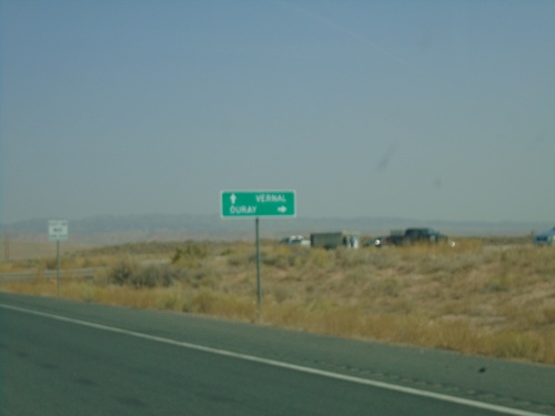
US-40 East/US-191 North at UT-88 South
US-40 East/US-191 North at UT-88 South in Uintah County. Use UT-88 south for Ouray. Continue on US-40/US-191 for Vernal.
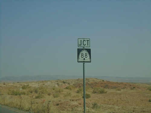
US-40 East/US-191 North Approaching UT-88
US-40 East/US-191 North approaching UT-88 in Uintah County.
US-40 East/US-191 North - Uintah County
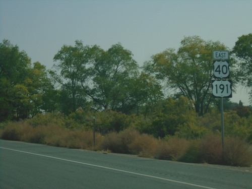
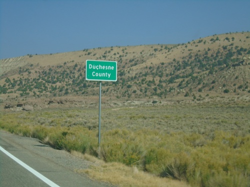
Entering Uintah County on US-40 East/US-191 North. The Uintah/Duchense county boundary also marks the boundary between the cities of Roosevelt and Ballard.
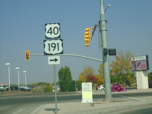
US-40 East/US-191 North at UT-121
US-40 East/US-191 North (N 200 E) at UT-121 (E 200 N). Turn right on E 200 N to continue on US-40 East/US-191 North.
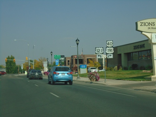
US-40 East/US-191 North Approaching UT-121
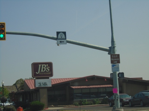
US-40 East/US-191 North approaching UT-121 in Roosevelt. The UT-121 shield is incorrectly displayed as US-121.
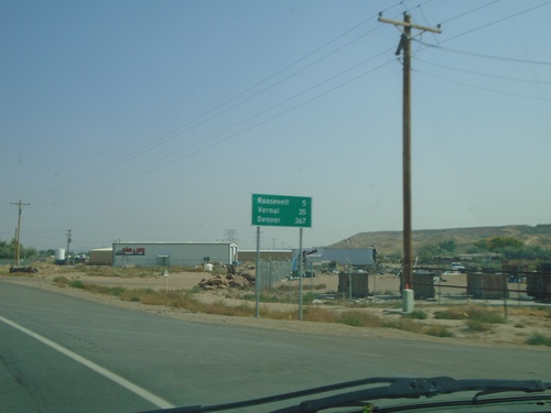
US-40 East/US-191 North - Distance Marker
Distance Marker on US-40 East/US-191 North. Distance to Roosevelt, Vernal, and Denver (Colorado).
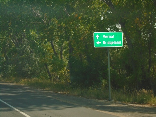
US-40 East/US-191 North - River Road
US-40 East/US-191 North at River Road west to Bridgeland. Continue on US-40 East/US-191 North to Vernal.
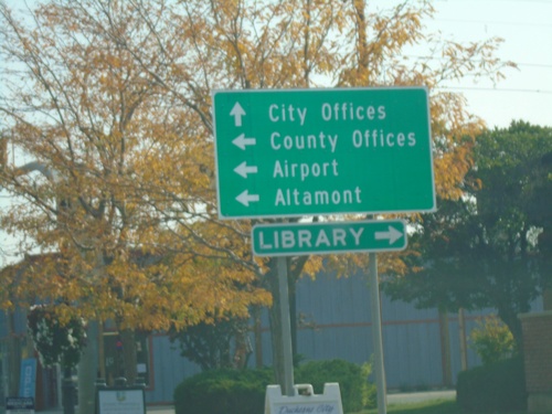
US-40 East/US-191 North at UT-87
US-40 East/US-191 North at UT-87 to County Offices, Airport, and Altamont. Turn left for Library. Continue straight for City Offices.
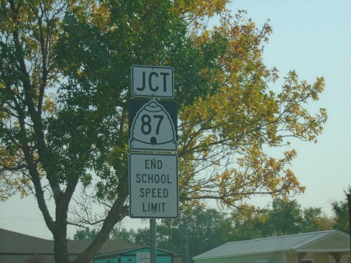
US-40 East/US-191 North Approaching UT-87
US-40 East/US-191 North (E Main St.) approaching UT-87 (Center St.) in Duchesne.
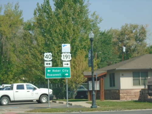
US-191 North at US-40
US-191 North at US-40 in Duchesne. Turn left for US-40 west to Heber City; turn right for US-40 East/US-191 North to Roosevelt. US-191 North joins US-40 eastbound to Vernal. Turn right to continue on the Dinosaur Diamond Byway.
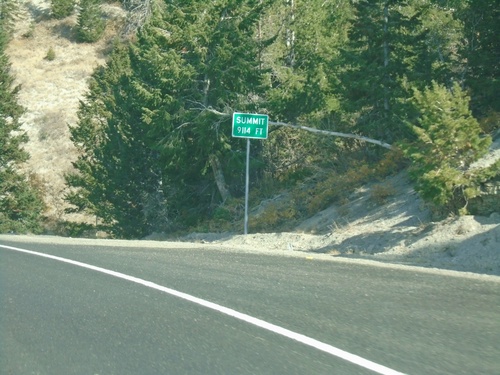
US-191 North - Elevation 9114 Feet
US-191 North - Elevation 9114 Feet. This is the summit of the divide between the Price River basin and the Duchesne River basin.
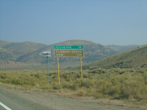
US-191 North - Distance Marker
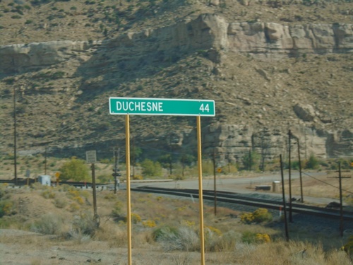
Distance marker on US-191 north. Distance to Duchesne and Flaming Gorge Dam.
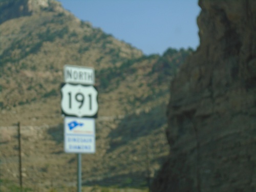
US-191 North - Dinosaur Diamond Scenic Byway
US-191 North - Dinosaur Diamond Scenic Byway in Carbon County.
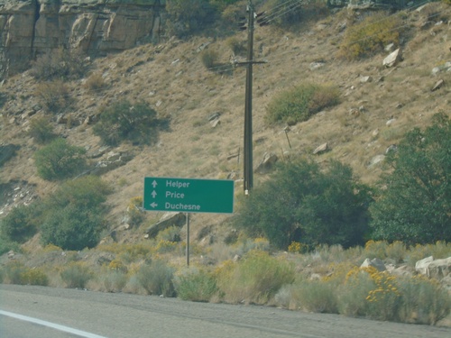
US-6 East at US-191
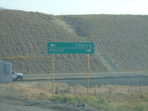
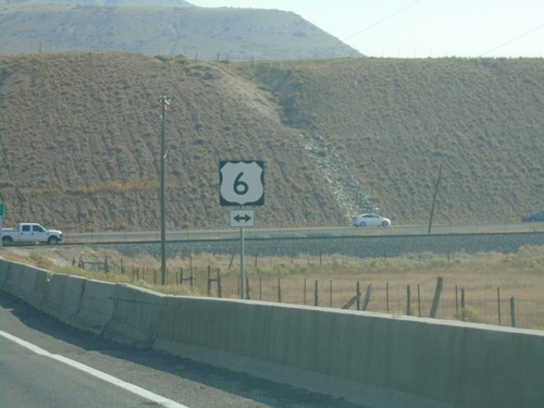
US-6 East at US-191 junction. Turn left for US-191 north to Duchesne. Continue ahead for US-6 East/US-191 South towards Helper and Price. US-191 joins US-6 east to the junction with I-70 near Green River. Thence from there US-191 follows I-70 and US-6 east to Crescent Junction.
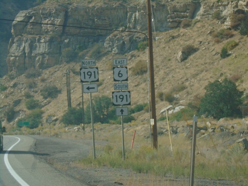
US-6 East at US-191
US-6 east at US-191. Turn left for US-191 north. US-191 south joins US-6 south to Crescent Junction.
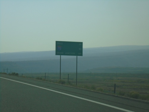
US-6 East - Distance Marker
Distance marker on US-6 east. Distance to Price, I-70 Junction, and Grand Junction (Colorado).
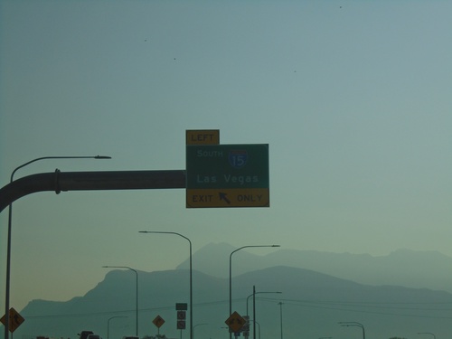
End UT-194 East at I-15
End UT-194 East at I-15 south to Las Vegas (Nevada). West 2100 North continues into Lehi.
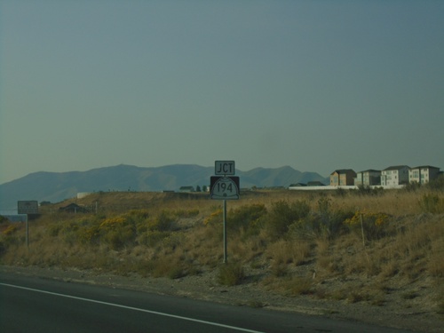
UT-68 South Approaching UT-194 East
UT-68 South approaching UT-194 East (W 2100 North). UT-194 north is an expressway connection between UT-68 and I-15 in Lehi. It will eventually connect to the Mountain View Corridor.
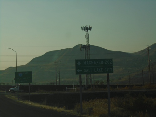
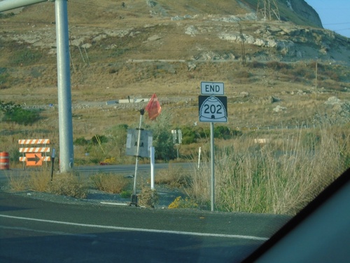
UT-202 South at I-80 East
UT-202 South at I-80 East to Salt Lake City. Continue south on UT-202 for Magna. UT-202 is spelled out on the sign as SR-202.
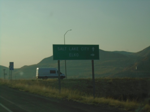
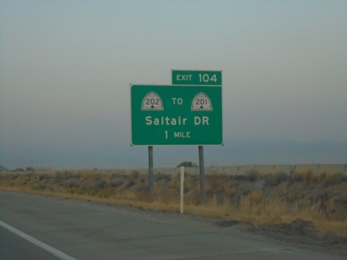
Begin UT-202 South at I-80
Begin UT-202 South at I-80 (Exit 104). Use I-80 west for Elko (Nevada); I-80 east for Salt Lake City. Elko is not typically used as a destination city on I-80 west of Salt Lake. Typically it is either Wendover, or Reno, Nevada.
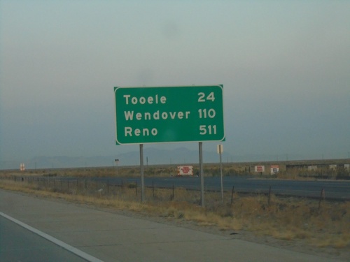
I-80 West - Distance Marker
Distance marker on I-80 west. Distance to Tooele, Wendover, and Reno (Nevada).
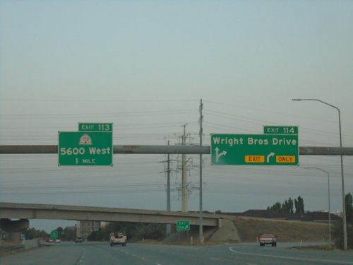
I-80 West - Exits 114 and 113
I-80 West at Exit 114 - Wright Brothers Drive and approaching Exit 113 - UT-172/5600 West.
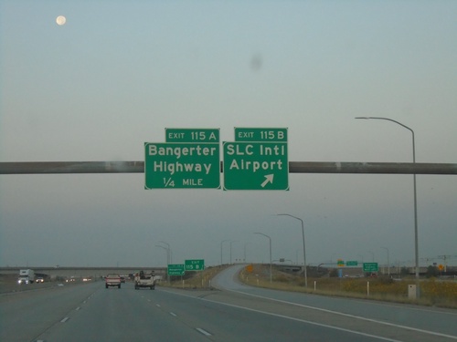
I-80 West - Exits 115B and 115A
I-80 west at Exit 115B - SLC International Airport. Approaching Exit 115A - Bangerter Highway.
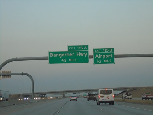
I-80 West - Exits 115B and 115A
I-80 west approaching Exit 115B - Airport and Exit 115A - Bangerter Highway.
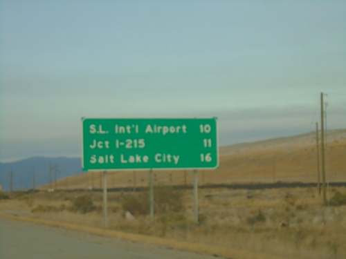
I-80 East - Distance Marker
Distance marker on I-80 east. Distance to Salt Lake International Airport, Jct. I-215, and Salt Lake City.
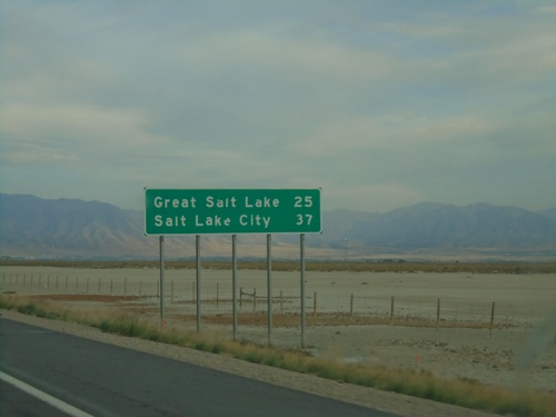
I-80 East - Distance Marker
Distance marker on I-80 East. Distance to Great Salt Lake and Salt Lake City.
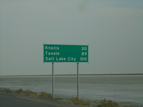
I-80 East - Distance Marker
Distance marker on I-80 east. Distance to Knolls, Tooele, and Salt Lake City.
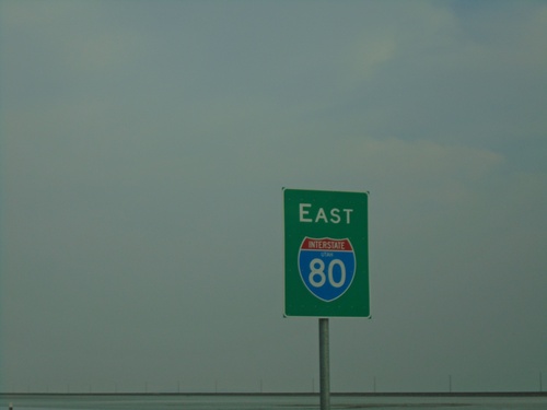
I-80 East - Tooele County
I-80 east in Tooele County, just east of the Bonneville Speedway interchange.
