Signs From December 2020
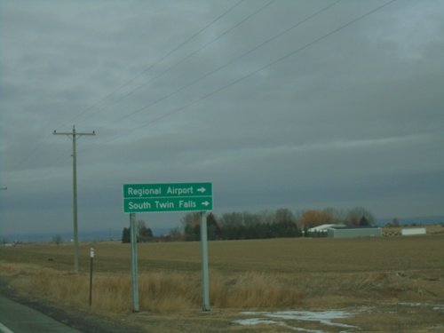
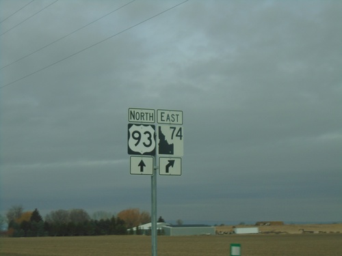
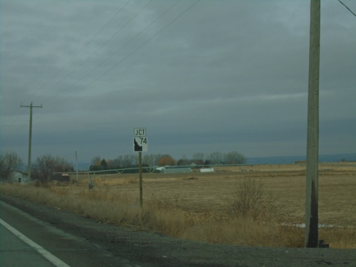
US-93 North Approaching ID-74
US-93 north approaching ID-74. Use ID-74 north for Regional Airport and South Twin Falls.
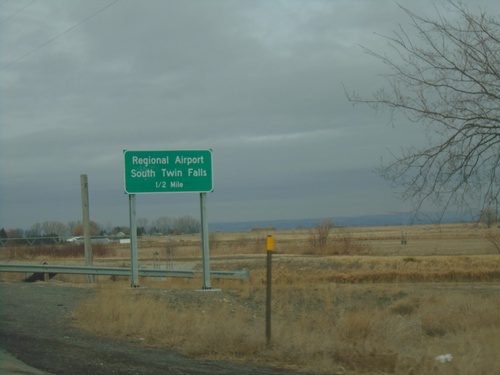
US-93 North Approaching ID-74
US-93 North approaching ID-74 in Twin Falls County. Use ID-74 north for Regional Airport and South Twin Falls.
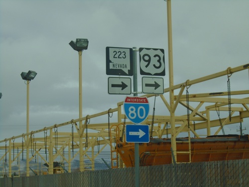
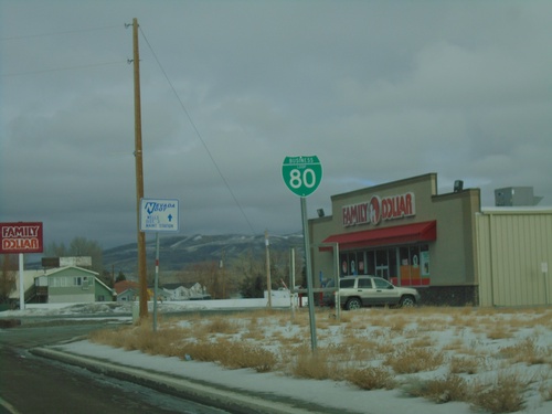
BL-80/NV-223 East At 6th St.
BL-80/NV-223 east (Humboldt Ave.) at 6th St in Wells. Turn right to continue east on BL-80/NV-223 and for I-80/US-93. This is the only NV-223 shield that I have seen in Wells. Most of the route is signed with a BL-80 shield.
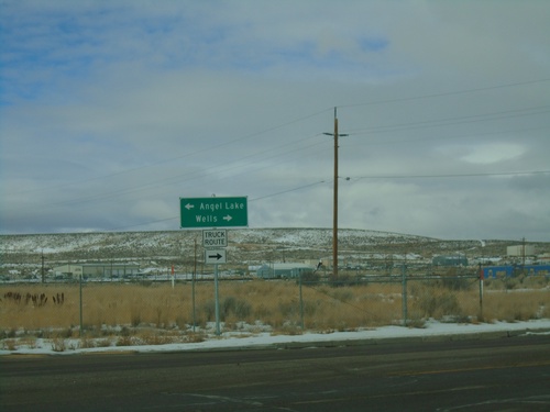
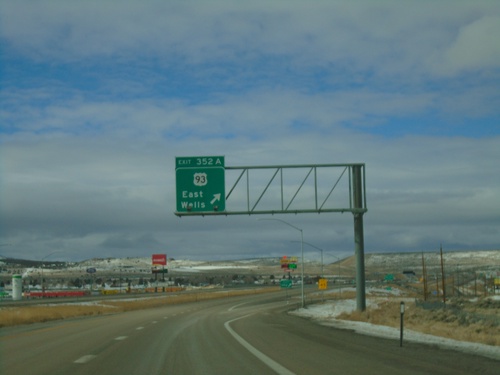
I-80 West - Exit 351 Offramp at BL-80/NV-223
I-80 West - Exit 351 Offramp at BL-80/NV-223 (Humboldt Ave.) in Wells. Turn right for BL-80 West/NV-223 to Wells; left for Angel Lake. This is the western end of the Wells business loop.
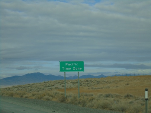
I-80 West - Pacific Time Zone
Entering Pacific Time Zone on I-80 West/Alt. US-93 North. The city of West Wendover, Nevada observes Mountain Time as it is located on the Utah border. The time zone boundary on I-80 is just west of West Wendover.
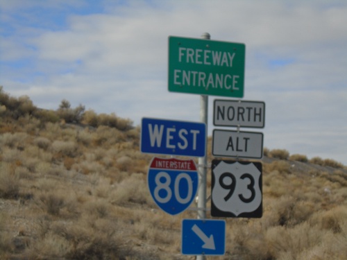
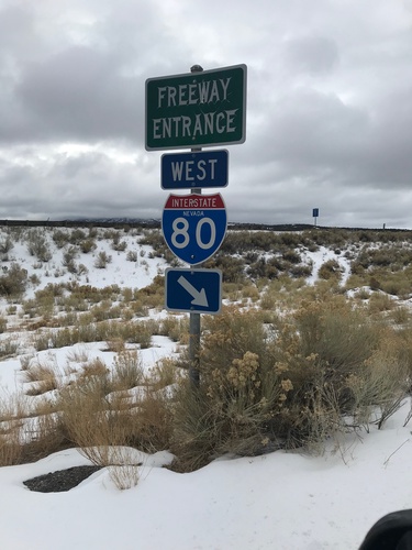
US-93 Alt/BL-80 West at I-80/US-93 Alt Onramp
US-93 Alt/BL-80 West at I-80 West/US-93 Alt. North onramp (Exit 410) - in West Wendover.
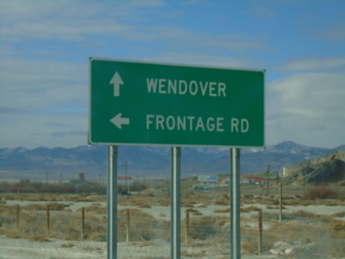
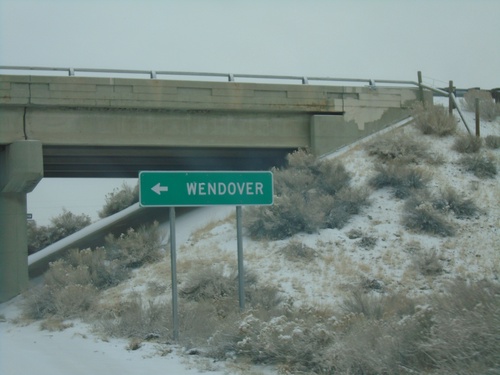
UT-58 West/BL-80 West at Frontage Road
UT-58 West/BL-80 West at Frontage Road. Continue west on UT-58/BL-80 for Wendover.
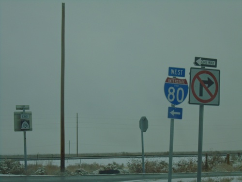
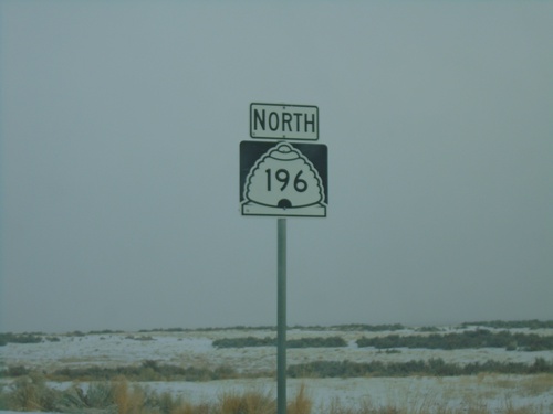
End UT-196 North at I-80 West (Exit 77)
End UT-196 North at I-80 West (Exit 77). End UT-196 shield in the background.
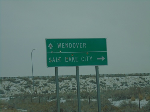
End UT-196 North at I-80
End UT-196 North at I-80 in Tooele County. Use I-80 east for Salt Lake City; I-80 west for Wendover.
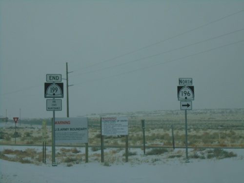
End UT-199 West at UT-196 North
End UT-199 West at UT-196 North at entrance to Dugway Proving Ground.
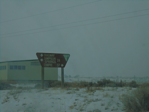
UT-199 West at Government Creek Road
UT-199 West at Government Creek Road to Simpson Springs. Continue straight for Dugway; turn right to UT-196 and Timpie.
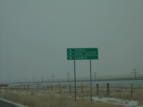
UT-36 North Approaching UT-199
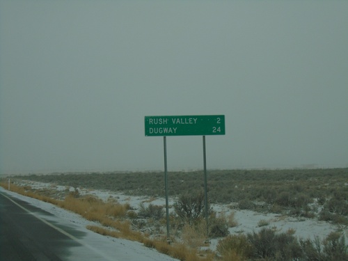
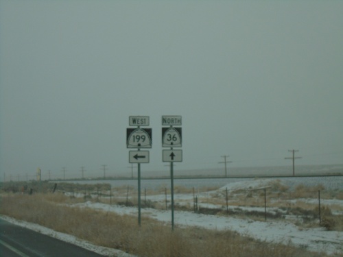
UT-36 North approaching UT-199 west to Rush Valley and Dugway. Continue north on UT-36 to Tooele.
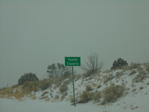
UT-36 North - Tooele County
Entering Tooele County on UT-36 north. Tooele County is the second largest county in Utah by area.
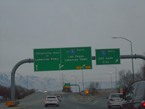
End US-189 South at I-15
US-189 South at I-15 North to Salt Lake City. Approaching ramp for I-15 South to Las Vegas (Nevada) and Lakeview Parkway. Use left lane to continue south on University Ave./To Lakeview Parkway. This is the southern end of US-189.
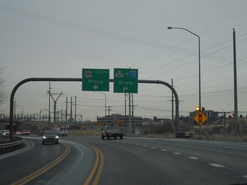
US-189 South Approaching UT-52/To I-15
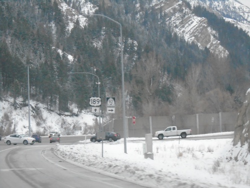
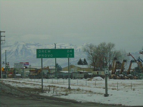
US-189 South approaching UT-52/To I-15 to Orem. Continue south on US-189 for Provo.
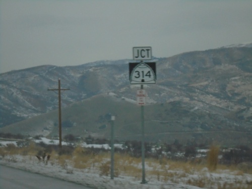
US-189 South Approaching UT-314
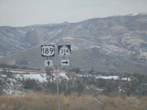
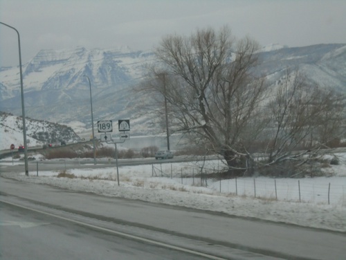
US-189 South approaching UT-314 in Wasatch County. UT-314 accesses Deer Creek State Park.
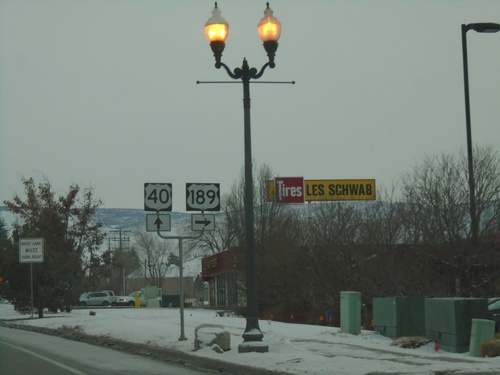
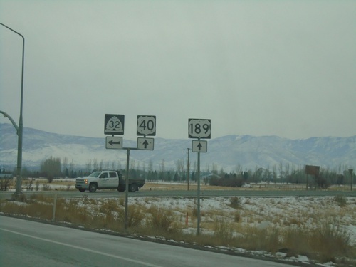
US-189 South/US-40 East at US-189/US-40 Split
US-189 South/US-40 East at US-189/US-40 split in Heber City.
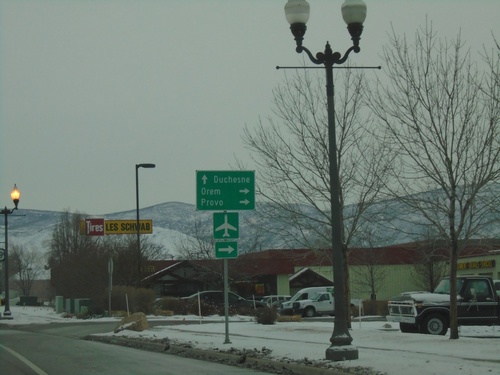
US-40 East/US-189 South at US-40/US-189 Split
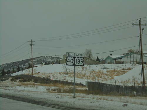
US-40 East/US-189 South at US-40/US-189 split in Heber City. Turn right to continue south on US-189 to Provo and Orem; merge left to stay on US-40 East to Duchesne.
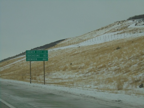
US-40 East/US-189 South - Distance Marker
Distance marker on US-40 East/US-189 South. Distance to Heber City, Duchesne, and Denver (Colorado).
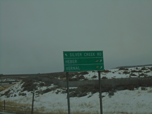
I-80 West - Exit 146 Offramp
I-80 West - Exit 146 offramp. Merge left for Silver Creek Road. Merge right for US-40 East/US-189 South/Heber/Vernal.
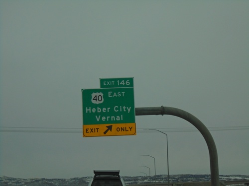
I-80 East - Exit 146
I-80 East at Exit 146 - US-40 East/Heber City/Vernal. This is the western end of US-40.
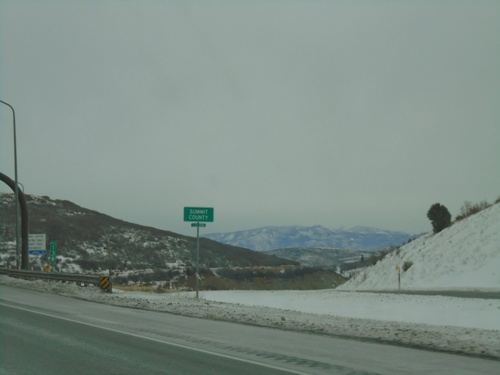
I-80 East - Summit County
Entering Summit County on I-80 East at Parleys Summit - 7120 Feet. This is the highest point along I-80 in the state of Utah.
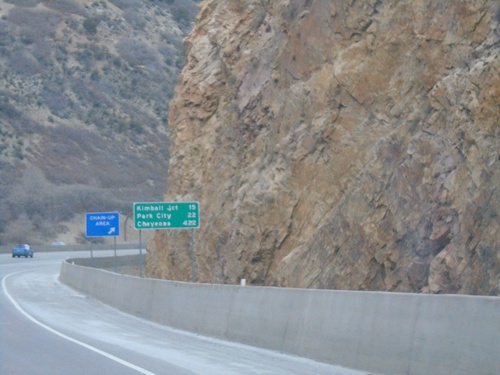
I-80 East - Distance Marker
Distance marker on I-80 east. Distance to Kimball Junction, Park City, and Cheyenne (Wyoming). This is the first distance marker eastbound out of Salt Lake City.
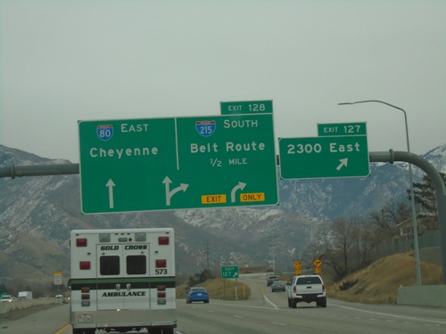
I-80 East - Exits 127 and 128
I-80 east at Exit 127 - 2300 East. Approaching Exit 128 - I-215 South/Belt Route. Continue east on I-80 for Cheyenne (Wyoming).
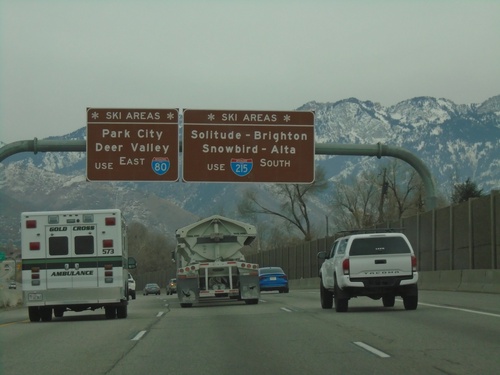
I-80 East - Ski Areas
Ski Area directions on I-80 east approaching I-215. Use I-215 South (Exit 128) for Solitude, Brighton, Snowbird, and Alta Ski Areas. Continue east on I-80 for Park City and Deer Valley Ski Areas.
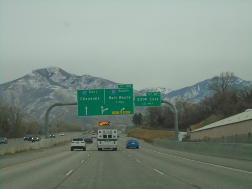
I-80 East - Exits 127 and 128
I-80 east approaching Exit 127 - 2300 East. Approaching Exit 128 - I-215 South/Belt Route. Continue east on I-80 for Cheyenne (Wyoming).
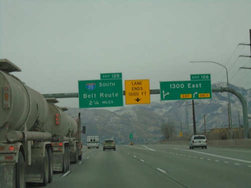
I-80 East - Exit 126 and Approaching Exit 128
I-80 east at Exit 126 - 1300 East. Approaching Exit 128 - I-215 South/Belt Route.
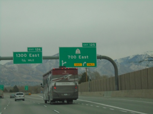
I-80 East - Exit 125. Approaching Exit 126
I-80 east at Exit 125 - UT-71/700 East. Approaching Exit 126 - 1300 East.
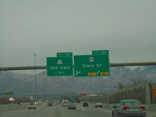
I-80 East - Exits 124, and 125
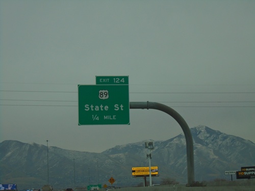
I-80 east at Exit 124 - US-89/State St. Approaching Exit 125 - UT-71/700 East.
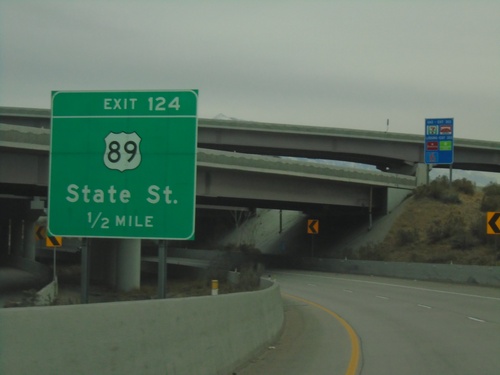
UT-201 East To I-80 East Separation - Exit 125
UT-201 East To I-80 East Separation approaching Exit 125 - US-89/State St.
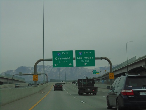
End UT-201 East at I-15 South/I-80 East
End UT-201 East at I-15 South/I-80 East in Salt Lake City. Use I-15 south for Las Vegas (Nevada); I-80 east for Cheyenne (Wyoming).
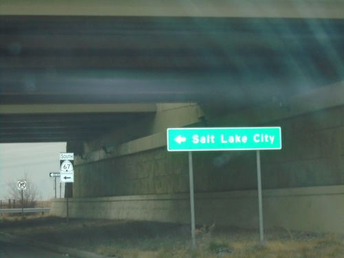
End UT-105 West at UT-67 South
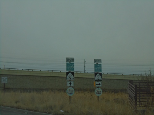
End UT-105 West (Parrish Lane) at UT-67 South (Legacy Parkway) to Salt Lake City.
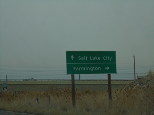
End UT-105 West at UT-67
End UT-105 West (Parrish Lane) at UT-67 (Legacy Parkway). Use UT-67 north for Farmington; UT-67 south for Salt Lake City.
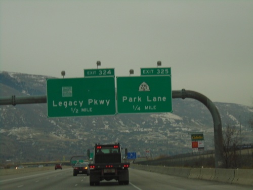
I-15 South - Exits 325 and 324
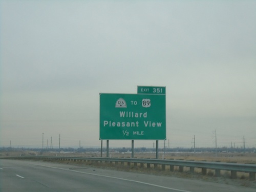
I-15 south at Exit 325 - UT-225/Park Lane. Approaching Exit 324 - (UT-67)/Legacy Parkway.
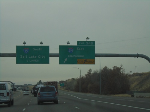
I-15 South/I-84 East Split - Exit 340
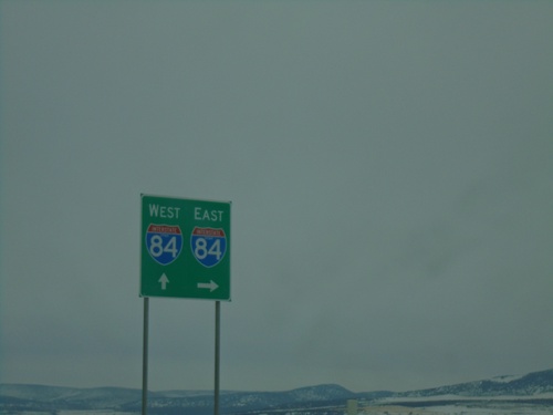
I-15 South/I-84 East split at Exit 340. Use I-84 East to Cheyenne; continue south on I-15 for Salt Lake City.
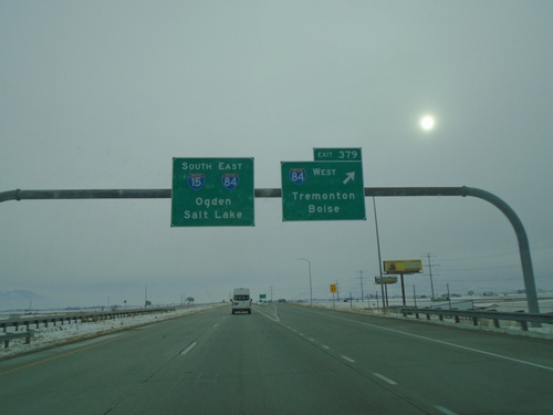
I-15 South at I-84 - Tremonton
I-15 South at I-84 in Tremonton. Use Exit 379 for I-84 West/Tremonton/Boise (Idaho). I-84 east joins I-15 southbound. Use I-15 South/I-84 East for Ogden and Salt Lake. The winter sun is glowing through the fog.
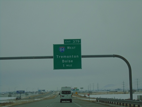
I-15 South - Exit 379
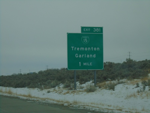
I-15 south approaching Exit 379 - I-84 West/Tremonton/Boise (Idaho). I-84 east joins I-15 southbound to Ogden.
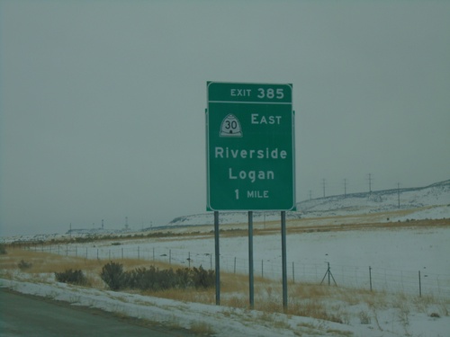
I-15 South - Exit 385
I-15 south approaching Exit 385 - UT-30 East/Riverside/Logan. This sign appears to be attached to an older, smaller sign.
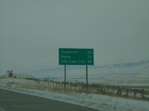
I-15 South - Distance Marker
Distance marker on I-15 south. Distance to Tremonton, Ogden, and Salt Lake City. This is the first distance marker southbound on I-15 in Utah.
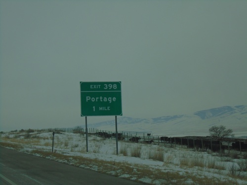
I-15 South - Exit 398
I-15 south approaching Exit 398 - Portage. This is the first exit southbound on I-15 in Utah.
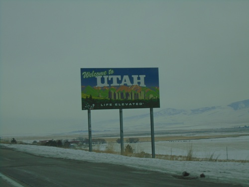
I-15 South - Welcome To Utah
Welcome to Utah - Life Elevated on I-15 south. Taken at the Idaho-Utah state line.
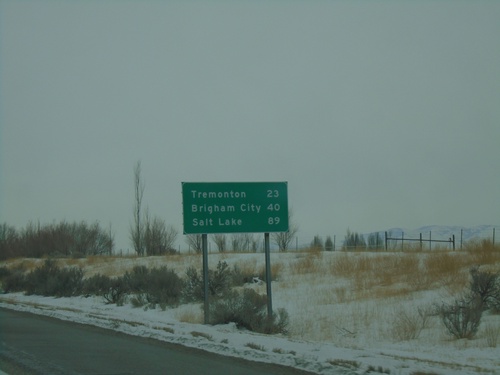
I-15 South - Distance Marker
Last distance marker in Idaho on I-15 south. Distance to Tremonton, Brigham City, and Salt Lake. All destinations listed are in Utah.
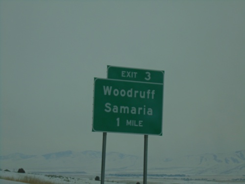
I-15 South - Exit 3
I-15 south approaching Exit 3 - Woodruff/Samaria. This is the last exit in Idaho on I-15 southbound.
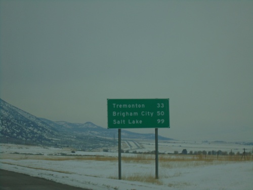
I-15 South - Distance Marker
Distance marker on I-15 south. Distance to Tremonton, Brigham City, and Salt Lake. All destinations listed are in Utah.
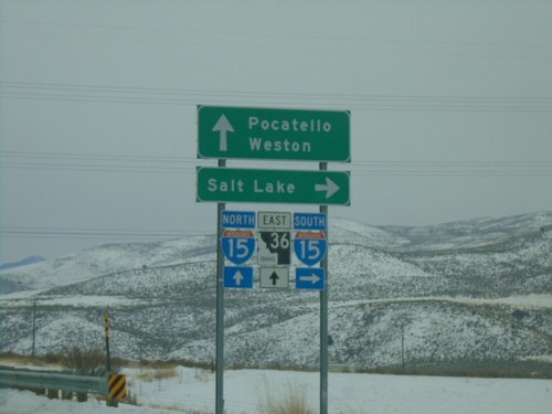
Deep Creek Road at I-15/ID-36 (Exit 17)
Deep Creek Road at I-15/ID-36 (Exit 17). Turn right for I-15 south to Salt Lake (Utah); continue over freeway for ID-36 East to Weston and for I-15 north to Pocatello.
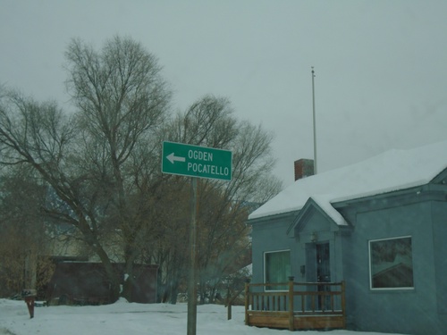
ID-38 East at South Main St.
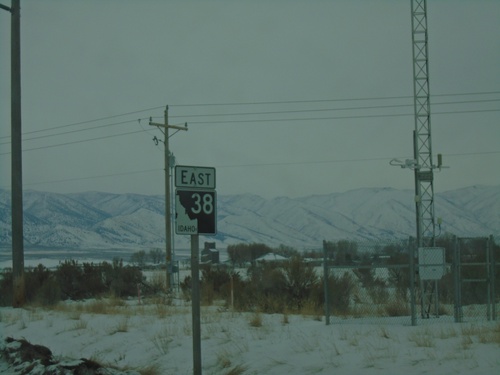
ID-38 East (90 S) at South Main St. in Malad City. Turn left on S Main St to continue east on ID-38 and for I-15 to Ogden (UT) and Pocatello.
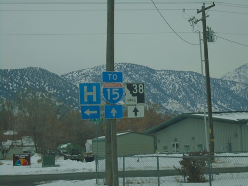
ID-38 East at 1st West - Malad City
ID-38 East at 1st West in Malad City. Turn left for Hospital - continue straight for ID-38 and I-15.
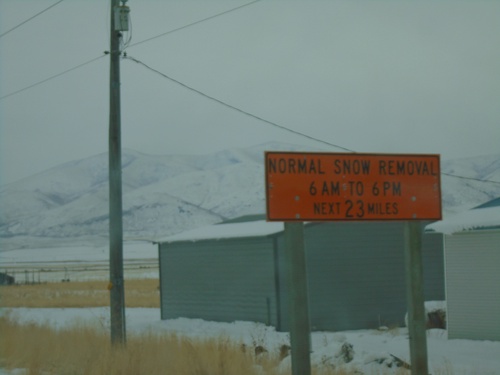
ID-38 East - Winter Maintenance
Winter maintenance hours on ID-38 between Holbrook and Malad City. Normal Snow Removal between hours of 6:00 AM and 6:00 PM.
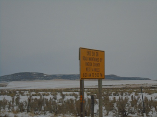
End ID-38 - Old Highway 37 Winter Maintenance
End ID-38 / Begin Old Highway 37. Road is maintained by Oneida County next 14 miles from 8:00 AM to 5:00PM.
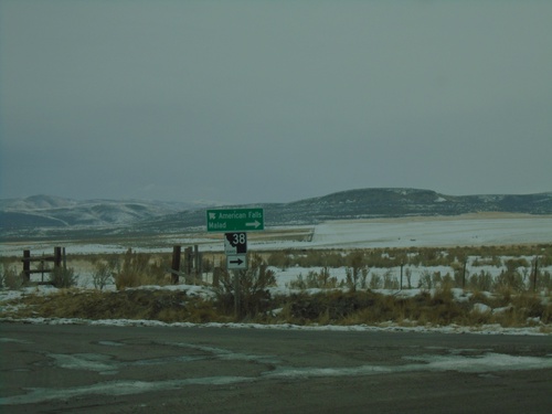
End 21000 West at ID-38 and Old Highway 37
End 21000 West at ID-38 and Old Highway 37 in Holbrook. Turn left for Old Highway 37 (to ID-37) and American Falls. Turn right for ID-38 to Malad.
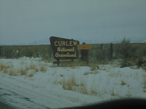
Entering Curlew National Grasslands on 23000 W
Entering Curlew National Grasslands on 23000 W near Stone, Idaho. Curlew is the only national grassland in Idaho and is administered by the Caribou-Targhee National Forest.
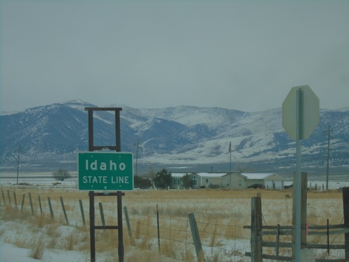
Entering Idaho on 23000 W
Idaho State Line on 23000 W (road connecting Snowville, Utah and Holbrook, Idaho).
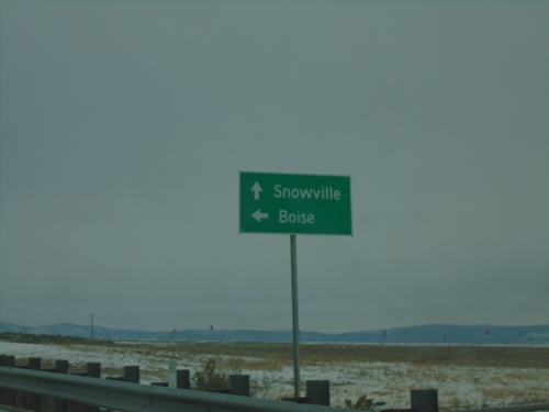
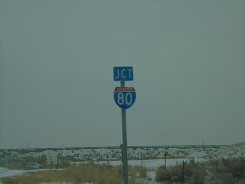
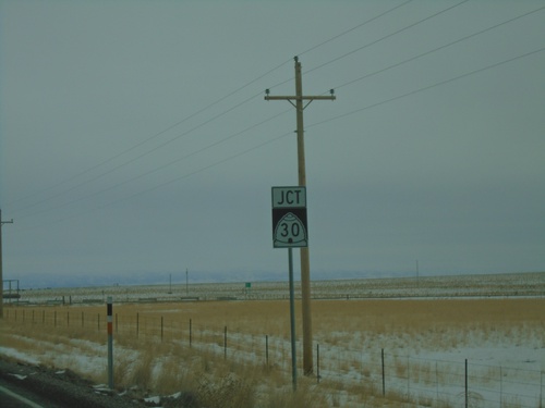
End UT-30 at I-84 West
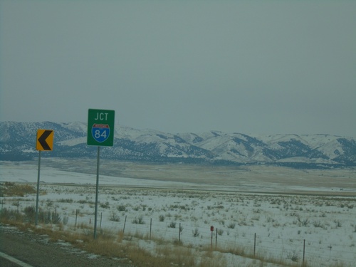
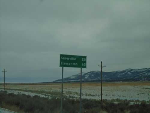
End UT-30 at I-84 West. Use I-84 west for Boise (Idaho). Continue east on county road to Snowville.
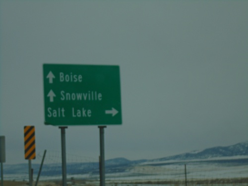
UT-30 East at I-84
UT-30 east at I-84 (Exit 5). Use I-84 west for Boise (Idaho); I-84 east for Salt Lake. Continue east on county road for Snowville. UT-30 ends here at I-84.
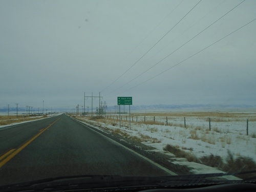
UT-30 East - Black Pine Road
UT-30 east at Black Pine Road jct. Turn north for Juniper, Sublette, and Black Pine.
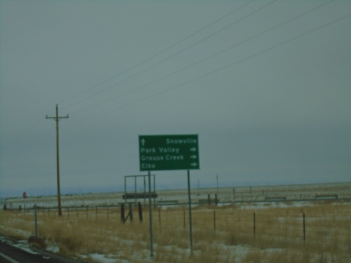
UT-42 South at UT-30
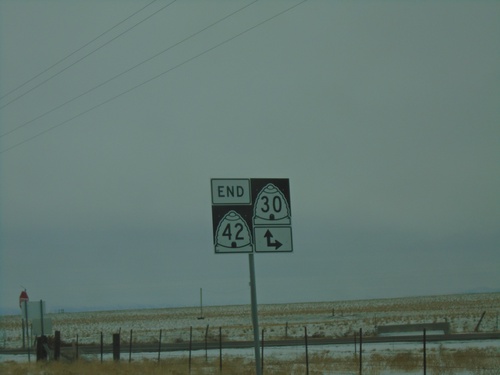
UT-42 South at UT-30 in Box Elder County. Use UT-30 west for Park Valley, Grouse Creek, and Elko (Nevada). Continue east on UT-30 for Snowville. UT-42 ends here.
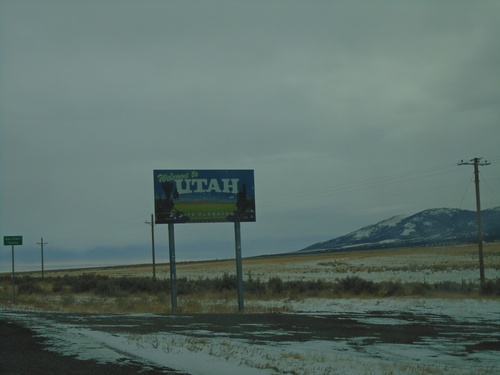
UT-42 South - Welcome To Utah
Welcome to Utah / Box Elder County at the Utah - Idaho state line on UT-42 south.
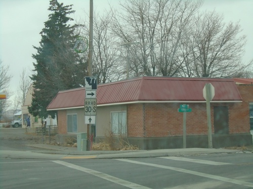
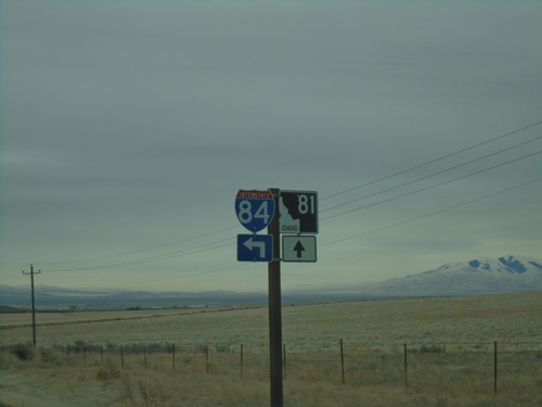
End ID-81 South at ID-77
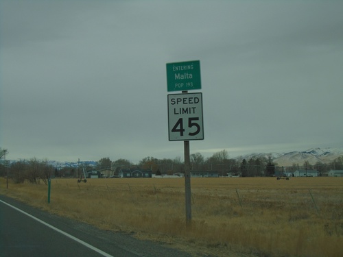
End ID-81 South at ID-77 in Malta. Turn right for ID-77 north. Roadway continues southbound as RRHD (Raft River Highway District) 30S, following the former route of US-30S to the Utah state line.
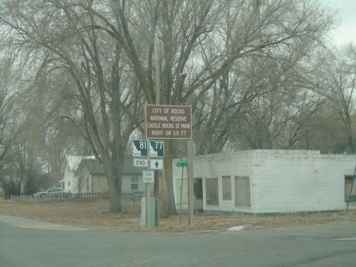
End ID-81 South at ID-77
End ID-81 South at ID-77 in Malta. Use ID-77 north for City of Rocks National Preserve and Castle Rocks State Park.
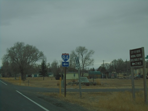
ID-81 South at 4th St. N
ID-81 South at 4th St. N in Malta. Use 4th St. N (via Sublette Road) for I-84 junction.
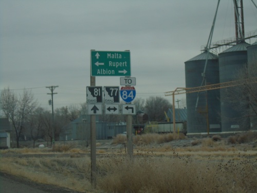
ID-81 South at ID-77
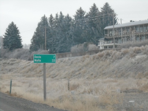
ID-81 South at ID-77 in Declo. Turn right for ID-77 south to Albion; left for ID-77 north to Rupert and I-84. Continue south on ID-81 for Malta.
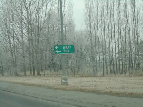
US-30/BL-84 West at ID-81
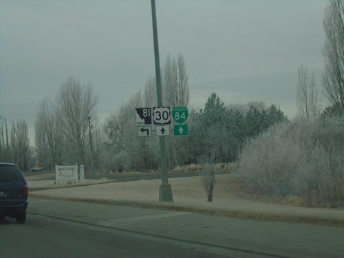
US-30/BL-84 West at ID-81 south to Declo. Continue on US-30/BL-84 for Burley.
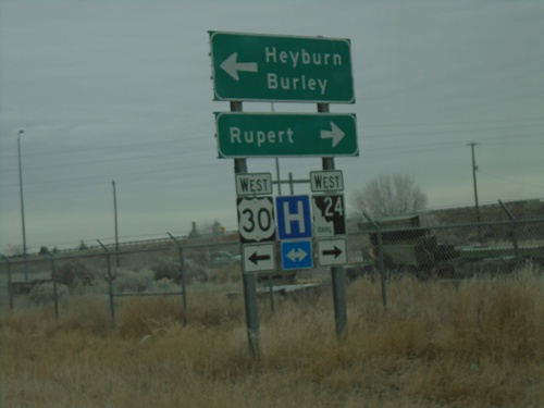
I-84 East - Exit 211 Offramp at BL-84/ID-24/US-30
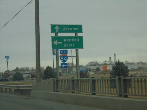
I-84 East - Exit 211 Offramp at BL-84/ID-24/US-30 in Heyburn. Turn right for ID-24 west to Rupert; left for US-30/BL-84 West to Burley and Heyburn.
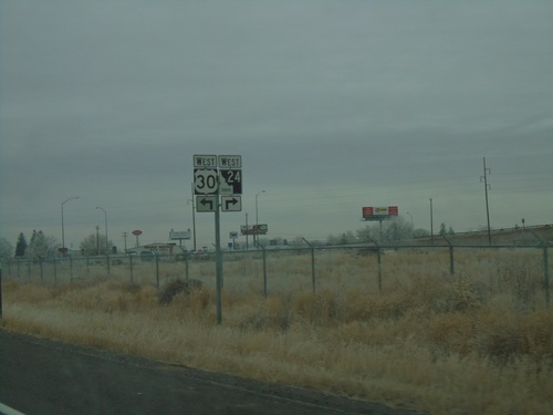
I-84 East - Exit 211 Offramp at US-30/ID-24/BL-84
I-84 East - Exit 211 Offramp at US-30/ID-24/BL-84 in Heyburn. Turn right for ID-24 West; left for US-30/BL-84 West.
