Signs From April 2021
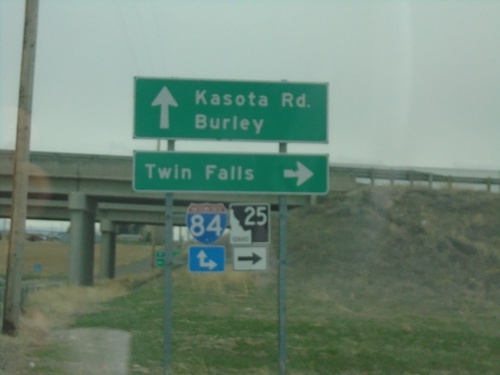
ID-25 West at I-84 (Exit 201)
ID-25 West at I-84 (Exit 201). Use I-84/ID-25 West for Twin Falls. Use I-84 East for Burley. Kasota Road continues southbound.
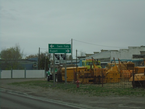
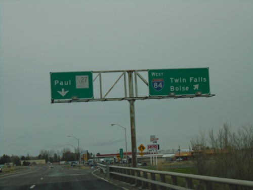
End ID-27 North at ID-25
End ID-27 North at ID-25. Use ID-25 east for Rupert; ID-25 west for Twin Falls.
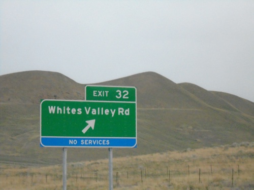
I-84 West - Exit 32
I-84 west at Exit 32 - Whites Valley Road. This interchange was renamed in 2021 from Ranch Exit.
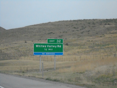
I-84 West - Exit 32
I-84 west approaching Exit 32 - Whites Valley Road. This interchange was renamed in 2021 from Ranch Exit.
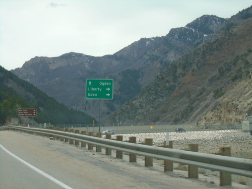
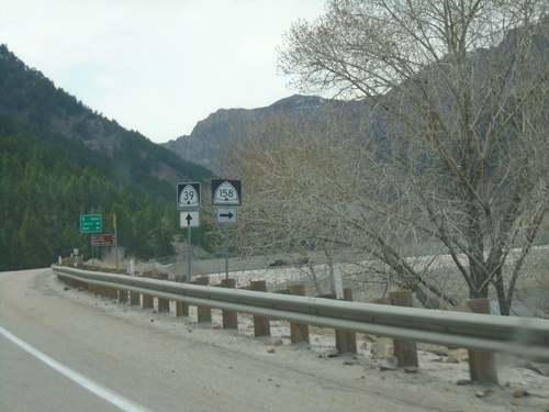
UT-39 West at UT-158 North
UT-39 West at UT-158 North to Eden and Liberty. Continue west on UT-39 for Ogden.
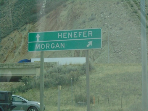
I-84 - Exit 111 Onramp
Onramp at Exit 111 (Croydon interchange). Use I-84 west for Morgan; I-84 east for Henefer.
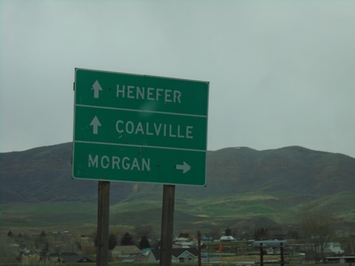
Echo Road at I-84/UT-65
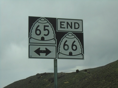
Echo Road at I-84/UT-65 (Exit 115) in Henefer. Use I-84 west for Morgan; I-84 east for Coalville. Continue on roadway for UT-65/Henefer.
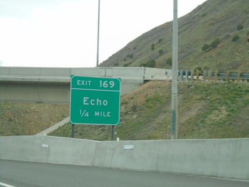
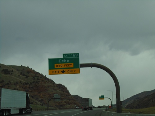
Ramp Between I-84 East and I-80 East Approaching Exit 169
Ramp between I-84 East and I-80 East approaching Exit 169 - Echo.
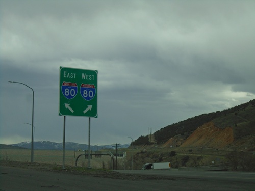
End I-84 East at I-80
End I-84 East at I-80 in Summit County. Use right lane for I-80 West; left lane for I-80 East.
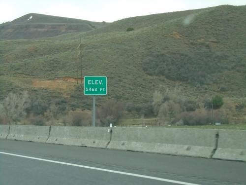
I-84 East - Elevation 5462 Feet
Elevation 5462 approaching the eastern end of I-84. There is also an elevation sign at the Idaho-Utah state line on I-84.
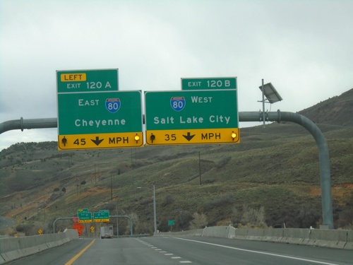
End I-84 East at I-80
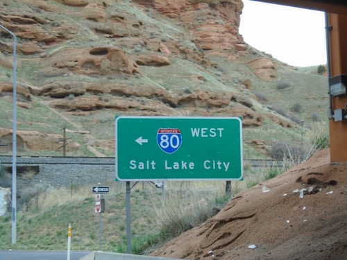
End I-84 East at I-80. Exit 120A - I-80 East/Cheyenne (Wyoming); Exit 120B - I-80 West/Salt Lake City.
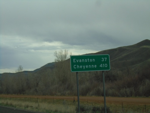
I-84 East - Distance Marker
Last distance marker on I-84 eastbound. Distance to Evanston (Wyoming) and Cheyenne (Wyoming). Both destinations via I-80 eastbound.
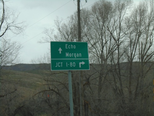
End UT-65 North at I-84 (Exit 115)
End UT-65 North at I-84 (Exit 115) in Henefer. Use I-84 East to I-80 junction (next exit). Continue over freeway for Echo (via County Road) and Morgan (via I-84 West).
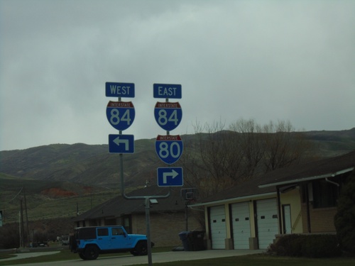
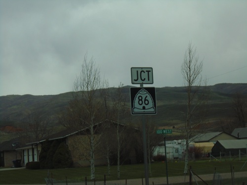
UT-65 North at UT-86 - To I-84/I-80
UT-65 North at UT-86 East (Main St.). Turn left for UT-86 West to I-84 West. Turn right to continue north on UT-65 for I-84 East and I-80.
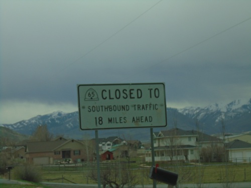
UT-66 South - Winter Closure on UT-65
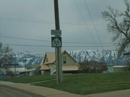
UT-65 closed to southbound traffic 16 miles ahead. Taken on UT-66 leaving Morgan. A portion of UT-65 between UT-66 and I-80 is closed during the winter months.
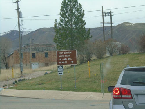
I-84 East - Exit 103 Offramp at UT-66
I-84 East - Exit 103 offramp at UT-66 in Morgan. Turn right on UT-66 for East Canyon State Park.
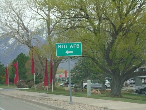
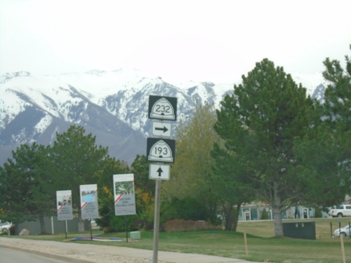
UT-193 East Approaching UT-232 (Hill Field Road)
UT-193 East approaching UT-232 (Hill Field Road). Turn left for Hill AFB south gate.
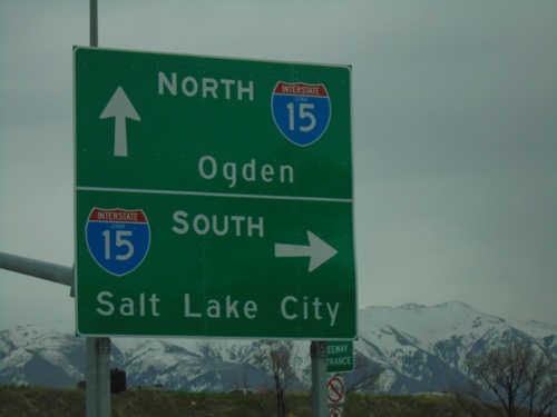
UT-103 East at I-15
UT-103 East (E 650 N) at I-15 junction (Exit 335). Turn right for I-15 South to Salt Lake City; continue under freeway for I-15 North to Ogden.
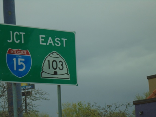
UT-126 North at UT-103 (To I-15)
UT-126 North (State St.) at UT-103 (E 650 N) in Clearfield. Turn right on UT-103 East for access to I-15 at Exit 335.
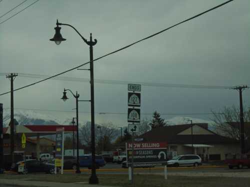
End UT-127 East at UT-108
End UT-127 East (Antelope Drive) at UT-108 (N 2000 W). Turn left on N 2000 W for UT-108 North; continue straight on Antelope Drive for UT-108 South.
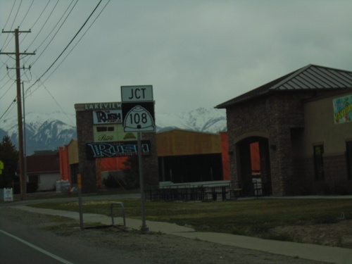
UT-127 East Approaching UT-108
UT-127 East (Antelope Drive) approaching UT-108 (N 2000 W) in Syracuse.
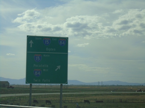
End US-91 South at I-15/I-84
US-91 south at I-15 North/Pocatello (Idaho)/I-84 West/Twin Falls (Idaho). Use I-15 South/I-84 East for Ogden. US-91 south ends here.
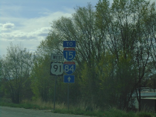
US-91 South - To I-15/I-84
US-91 South - To I-15/I-84 in Brigham City. US-91 is posted as US-91 west, which is the current direction of the roadway, although the route itself is a north-south route.
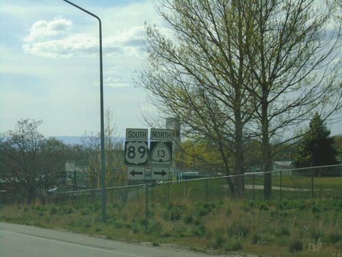
US-89/US-91 South at BL-15/UT-13/US-89 South
US-89/US-91 South at BL-15/UT-13/US-89 South (Main St.) in Brigham City. Turn left to continue south on US-89. Turn right for UT-13/(BL-15) North. US-89 separates from US-91 southbound.
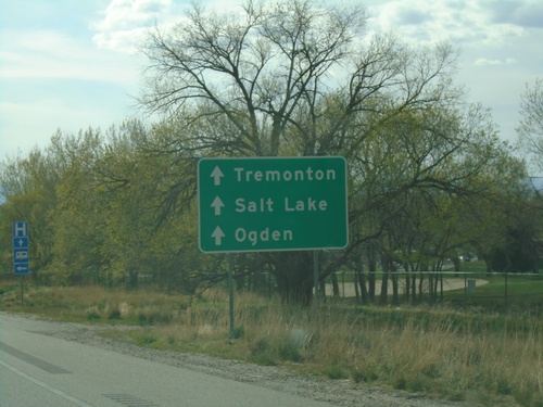
US-89/US-91 South Approaching BL-15/UT-13
US-89/US-91 South Approaching BL-15/UT-13 (Main St.) in Brigham City. Continue on US-91 South for Salt Lake/Tremonton/Ogden.
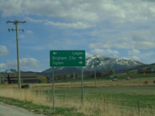
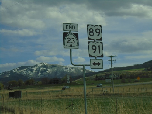
End UT-23 South at US-89/US-91
End UT-23 South at US-89/US-91 in Wellsville. Turn left for US-89/US-91 North to Logan; right for US-89/US-91 South to Brigham City and Ogden.
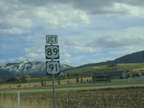
UT-23 South Approaching US-89/US-91
UT-23 South approaching US-89/US-91 in Wellsville. The is the southern terminus of UT-23.
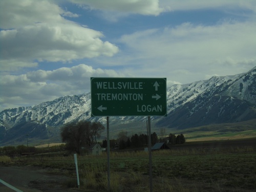
UT-23 South Approaching UT-30
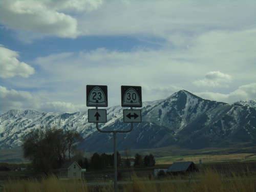
UT-23 South approaching UT-30 in Cache County. Use UT-30 west for Tremonton; UT-30 east for Logan and UT-23 south for Wellsville.
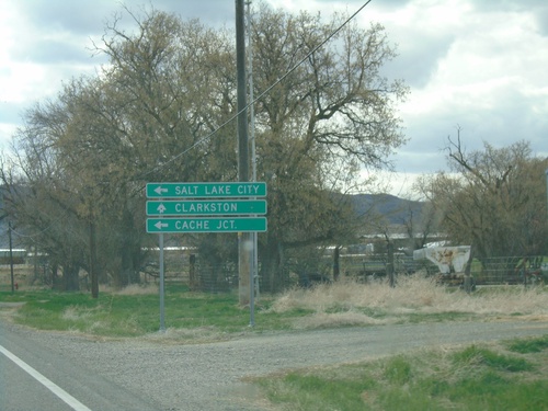
UT-23 South Approaching UT-142
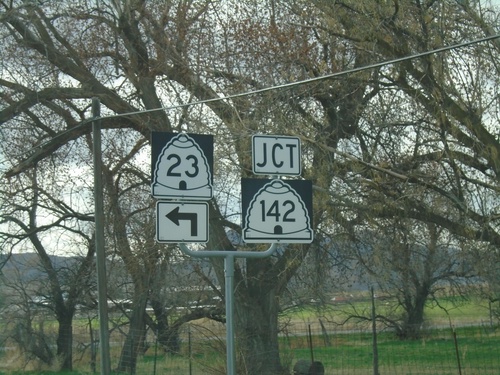
UT-23 South approaching UT-142 west to Clarkston. Turn left to continue south on UT-23 for Cache Junction and Salt Lake City.
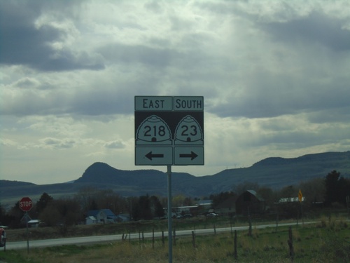
UT-23 South at UT-218
UT-23 South at UT-218 in Newton. Turn left for UT-218 East; right to continue south on UT-23.
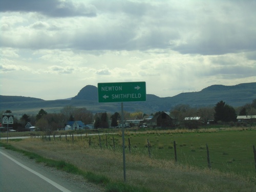
UT-23 South Approaching UT-218
UT-23 South approaching UT-218. Turn left for UT-218 East to Smithfield; right to continue on UT-23 south to Newton.
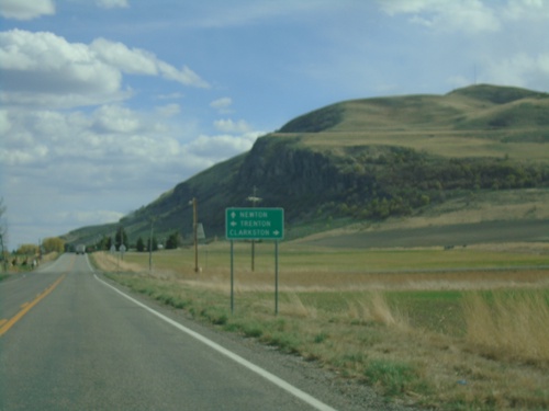
UT-23 South Approaching UT-142
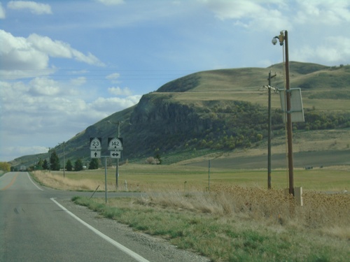
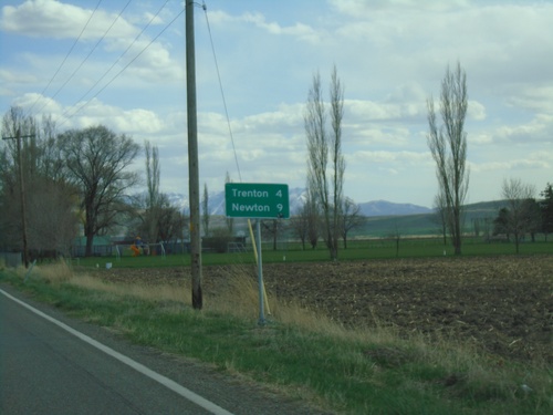
UT-23 South approaching UT-142. Turn right for UT-142 west to Clarkson; left for UT-142 east to Trenton. Continue south on UT-23 for Newton.
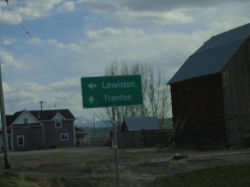
UT-23 South Approaching UT-61
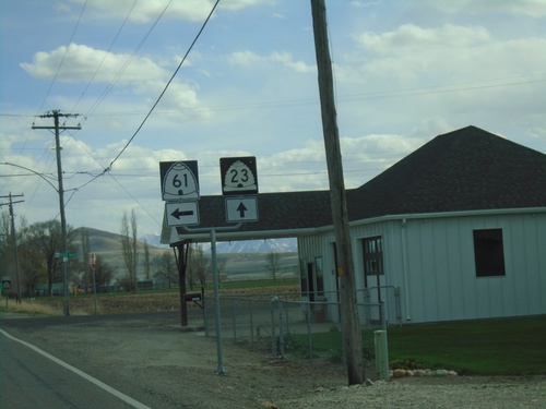
UT-23 South approaching UT-61 west to Lewiston. Continue south on UT-23 for Trenton.
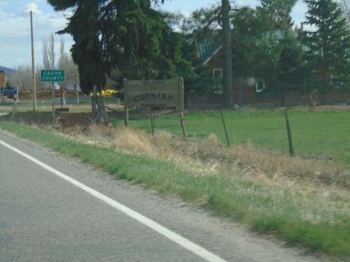
Entering Cornish and Cache County
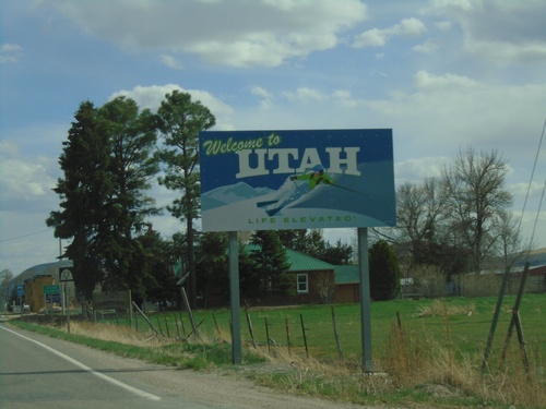
Entering city of Cornish and Cache County, Utah at the Utah-Idaho State Line
ID-36 West (Westside Highway) at Weston Canyon Road
ID-36 West (Westside Highway) at Weston Canyon Road. Turn right to continue west on ID-36 to I-15 Jct. Continue south on Westside Highway to (Weston) City Center.
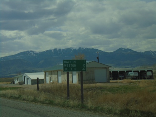
ID-36 West - Distance Marker
Distance marker on ID-36 west. Distance to Dayton, Weston, and Jct. I-15.
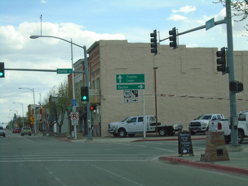
US-91 South/ID-36 West at US-91/ID-36 Split
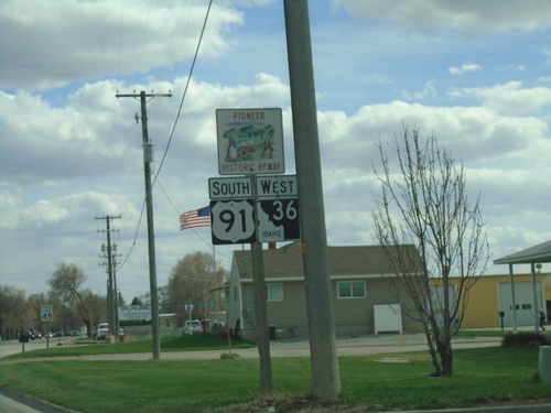
US-91 South/ID-36 West (State St.) at US-91/ID-36 (Oneida St.) Split in Preston. Turn right on ID-36 West to Dayton; continue south on US-91 for Franklin and Logan (Utah).
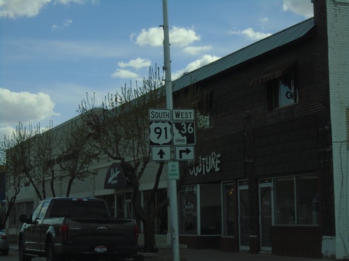
US-91 South/ID-36 West Approaching ID-36 West
US-91 South/ID-36 West (State St.) approaching ID-36 West (Oneida St.)
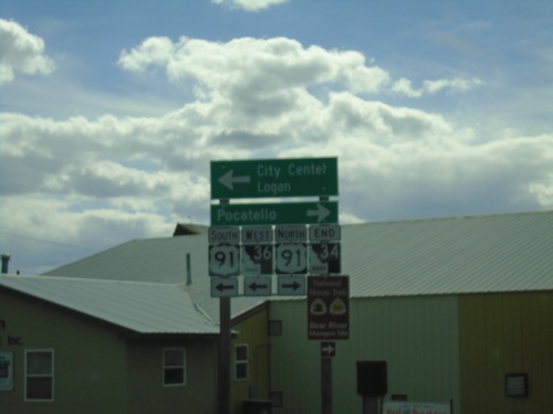
End ID-34 South at ID-36/US-91 - Preston
End ID-34 South at ID-36/US-91 in Preston. Turn right for US-91 north to Pocatello; left for US-91 South/ID-34 West to (Preston) City Center/Logan (Utah).
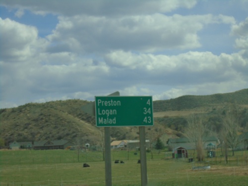
ID-34 South/ID-36 East - Distance Marker
Distance marker on ID-34 South/ID-36 East. Distance to Preston, Logan (Utah - via US-91), and Malad (via ID-36).
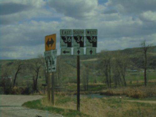
ID-34 South at ID-36
ID-34 South at ID-36 in Franklin County. Turn left for ID-36 East; continue straight for ID-34 South/ID-36 West.
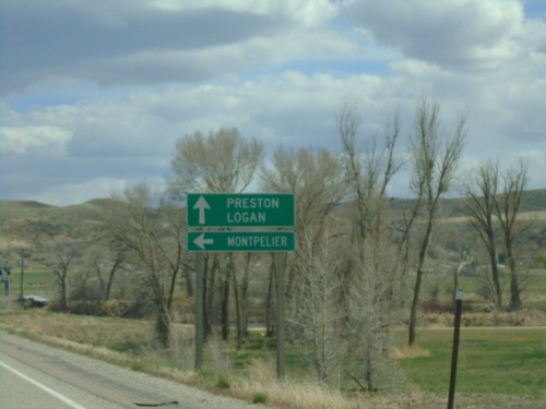
ID-34 South at ID-36
ID-34 South at ID-36 East to Montpelier. Continue south on ID-34 South/ID-36 West to Preston and Logan (Utah).
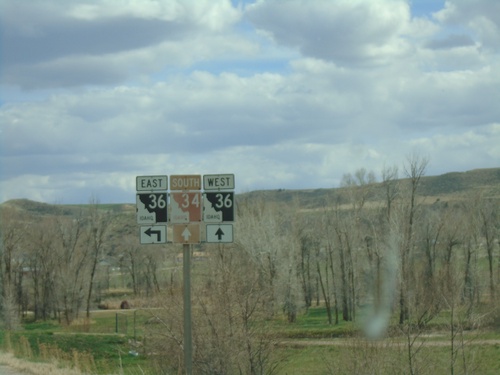
ID-34 South Approaching ID-36
ID-34 South approaching ID-36 in Franklin County. ID-34 south joins ID-36 west to Preston.
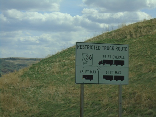
ID-34 South - ID-36 East Truck Information
ID-34 south approaching ID-36. Truck information for ID-36 east traffic.
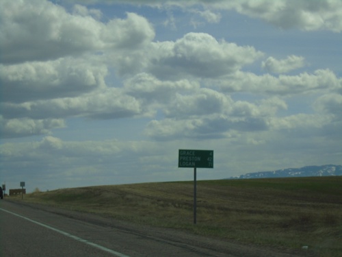
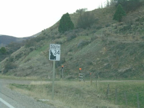
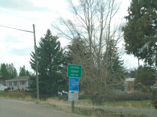
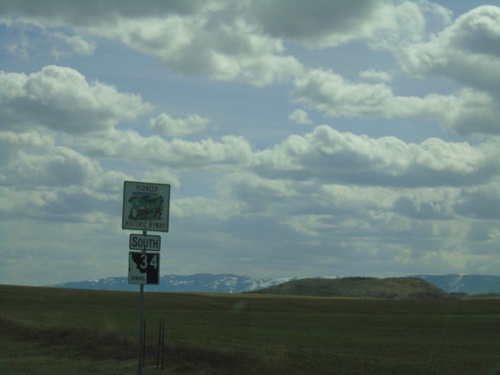
ID-34 South - Distance Marker
Distance marker on ID-34 south. Distance to Grace, Preston, and Logan (Utah).
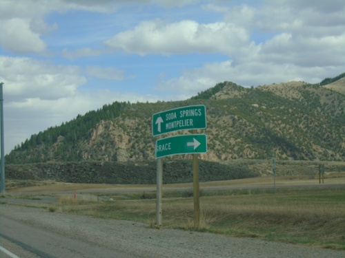
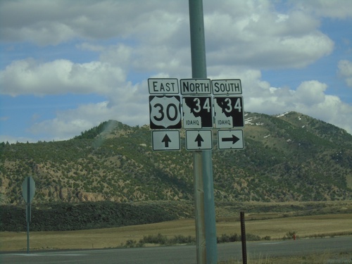
US-30 East Approaching ID-34
US-30 East approaching ID-34 south to Grace. Continue east on US-30 for Soda Springs and Montpelier. ID-34 north joins US-30 eastbound to Soda Springs.
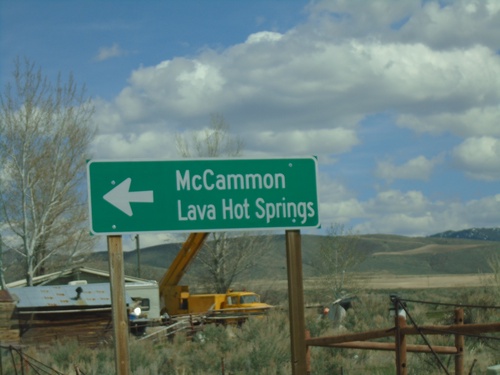
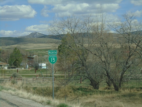
BL-15 North at Old US-91
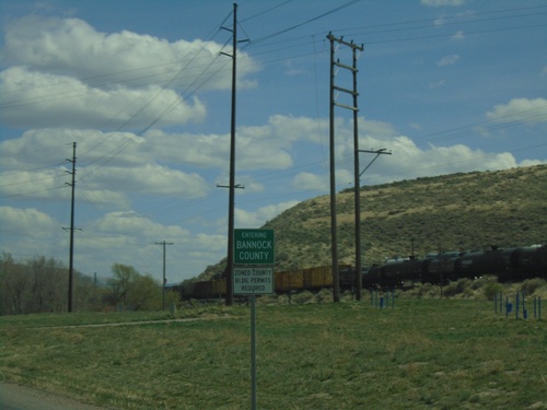
BL-15 North at Old US-91 in Bannock County. Turn left on Old US-91 to continue north on BL-15 to McCammon and Lava Hot Springs.
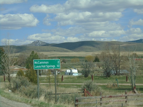
BL-15 North - Distance Marker
Distance marker on BL-15 north. Distance to McCammon and Lava Hot Springs (via US-30).
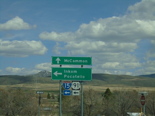
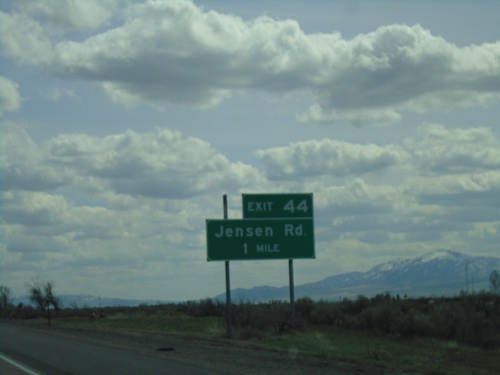
Jensen Road/BL-15 North at I-15/US-91 North (Exit 44)
Jensen Road/BL-15 North at I-15/US-91 North (Exit 44) in McCammon. Use I-15/US-91 North to Inkom and Salt Lake. Continue north on BL-15 for McCammon.
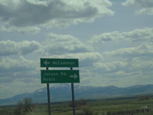
I-15/US-91 Exit 44 Onramp
I-15/US-91 Exit 44 offramp at BL-15/Jensen Road. Turn left for BL-15 North to McCammon; right for Jenson Road to Robin.
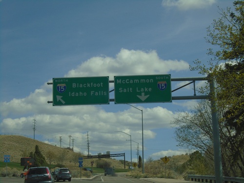
E Center St. at I-15
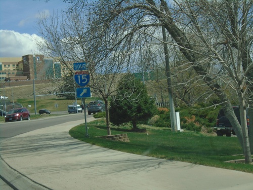
E Center St. at I-15 in Pocatello. Use I-15 south for McCammon and Salt Lake (Utah). Use I-15 north for Blackfoot and Idaho Falls.
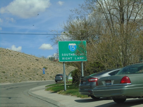
E Center St. Approaching I-15
E Center St. approaching I-15 (Exit 69) in Pocatello. Use right lane for I-15 South.
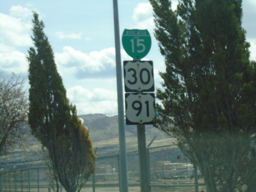
BL-15 South/US-91 South/US-30 East - Pocatello
BL-15 South/US-91 South/US-30 East (N 4th Ave) in Pocatello
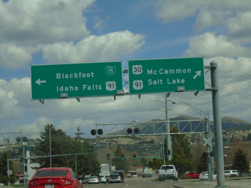
US-30 East (Oak St.) at BL-15/US-91
US-30 East (Oak St.) at BL-15/US-91 (Yellowstone Ave.) Turn right for BL-15/US-91 South/US-30 East/McCammon/Salt Lake (Utah). Turn left for BL-15/US-91 North/Blackfoot/Idaho Falls.
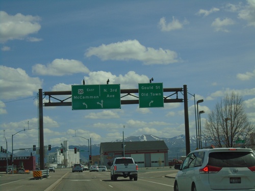
US-30 East (Garrett Way) at Gould St. and N 3rd
US-30 East (Garrett Way) at Gould St. and N 3rd Ave. in Pocatello. Turn right for Gould St./Old Town; straight for N 3rd Ave. Turn left to continue east on US-30 to McCammon.
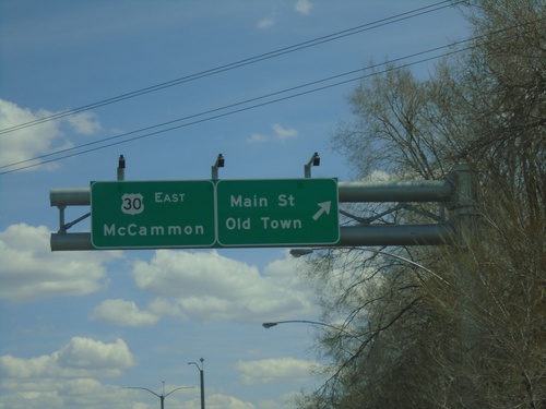
US-30 East at Main St.
US-30 East (Garrett Way) at Main St./Old Town (Pocatello). Continue on US-30 East to McCammon.
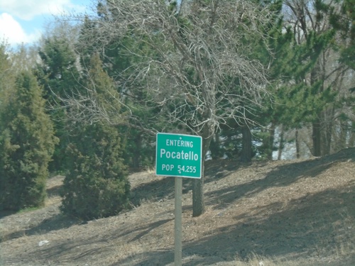
US-30 East - Pocatello
Entering Pocatello on US-30 East. Pocatello is the 5th largest city in Idaho according to the 2017 census estimate. Pocatello is also home to Idaho State University.
