Signs From July 2021
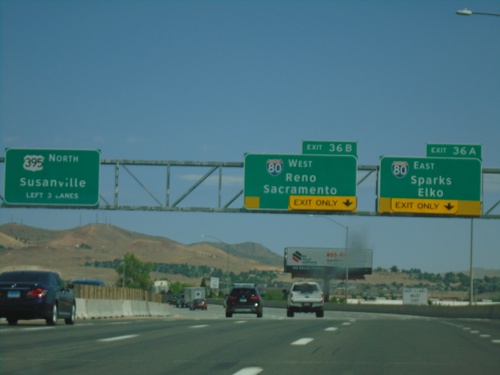
I-580/US-395 North - Exits 36A and 36B
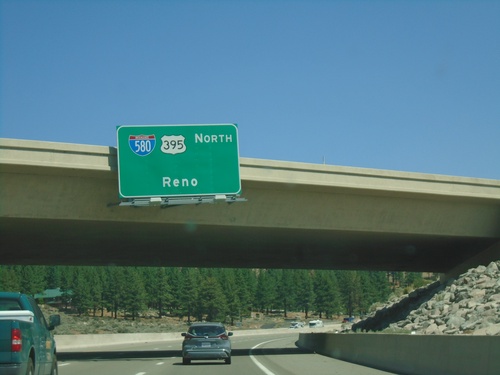
I-580/US-395 north approaching Exits 36A and 36B. Exit 36A - I-80 East/Sparks/Elko. Exit 36B - I-80 West/Reno/Sacramento (California). US-395 continues north towards Susanville (California). I-580 ends at I-80. The freeway continues as US-395.
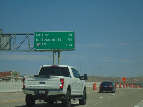
I-580 North/US-395 - Next Exits
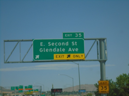
Next 3 Exits on I-580 North/US-395: Mill St., E. Second St. and I-80.
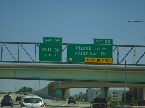
I-580/US-395 North - Exits 33 and 34
I-1580 North/US-395 north at Exit 33 - Plumb Lane/Villanova Drive. Approaching Exit 34 - Mill St. Use Plumb Lane for the Reno-Tahoe International Airport.
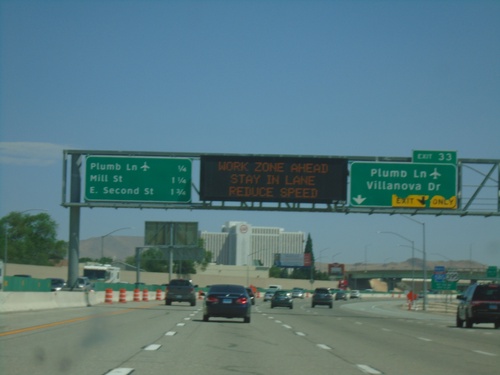
I-580/US-395 North Approaching Exit 33
I-580/US-395 north approaching Exit 33 - Plumb Lane/Villanova Drive. A distance marker showing the next three Reno exits is on the left side of the picture. The next three exits are: Plumb Lane, Mill St., and E. Second St. Use the Plumb Lane exit for the Reno-Tahoe International Airport.
I-580/US-395 North - Exit 33
I-580/US-395 North approaching Exit 33 - Plumb Lane. Use Plumb Lane for Reno-Tahoe International Airport.
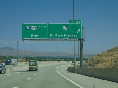
I-580 North - Exit 24
I-580/US-395 North at Exit 24 - NV-431/Mount Rose Highway. Continue north on I-580/US-395 for Reno.
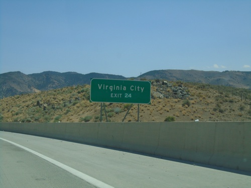
I-580 North Approaching Exit 24
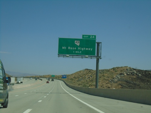
I-580/US-395 North approaching Exit 24. Use Exit 24 for Virginia City.
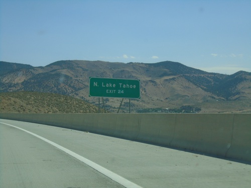
I-580 North Approaching Exit 24
I-580 North approaching Exit 2. Use Exit 24 for N. Lake Tahoe and Virginia City
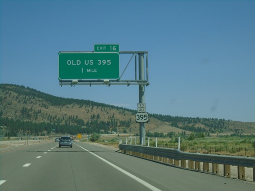
I-580 North - Exit 16
I-580/US-395 North approaching Exit 16 - Old US 395. Use Exit 16 for Alt. US-395.
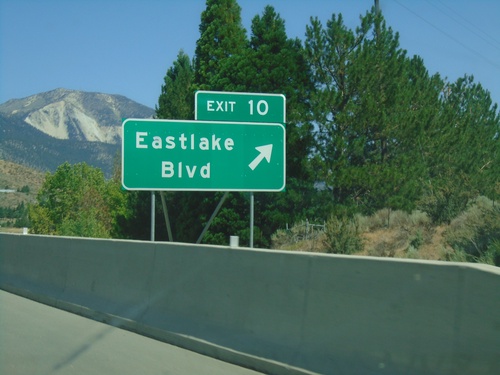
I-580 North - Exit 10
I-580/US-395 North at Exit 10 - Eastlake Blvd. This is the southern terminus of Alt. US-395. Alt. US-395 was created when the new I-580 freeway was completed. Alt. US-395 follows the old route of US-395 to Reno.
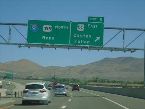
I-580 North - Exit 5
US-395 north at Exit 5 - US-50 East/Dayton/Fallon. Continue north on I-580/US-395 North for Reno. The US-50/US-395 split ends here.
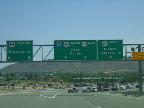
US-50 East Approaching US-395
US-50 east approaching I-580/US-395. Turn right for US-395 south for Minden and Gardnerville. Turn left for Bus. US-395/S Carson St. Continue straight for I-580 North/US-395 North/US-50 East/Reno/Fallon. US-50 joins I-580/US-395 north into Carson City.
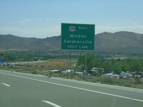
US-50 East Approaching I-580/US-395/Bus. US-395
US-50 East approaching I-580/US-395/Bus. US-395 in Carson City. Use US-395 south for Minden and Gardnerville.
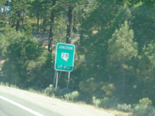
US-50 East Approaching NV-28
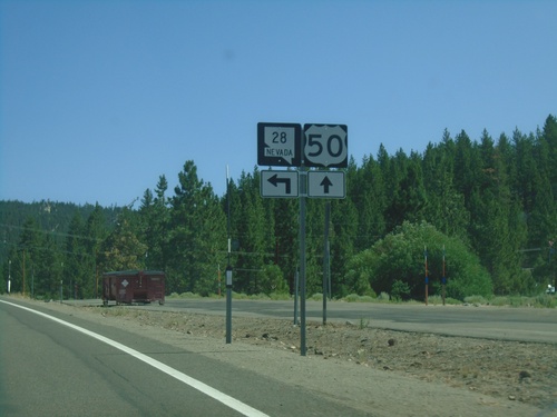
US-50 East approaching NV-28 in Douglas County. NV-28 loops around the northeast side of Lake Tahoe.
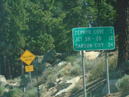
US-50 East - Distance Marker
First distance marker on US-50 east in Nevada. Distance to Zephyr Cove, Jct SR-28, and Carson City.
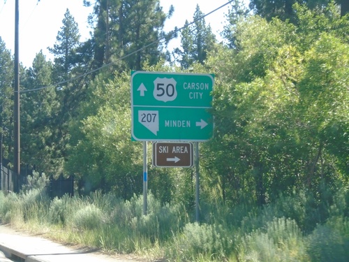
US-50 East at NV-207 East
US-50 East at NV-207 East to Minden and (Heavenly Valley) Ski Area. Continue east on US-50 for Carson City.
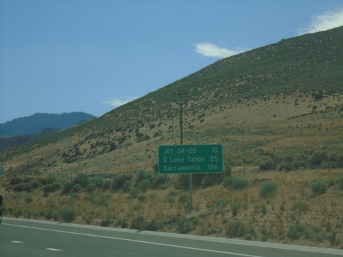
US-50 West - Distance Marker
Distance marker on US-50 west. Distance to Jct. SR-28, South Lake Tahoe (CA), and Sacramento (CA).
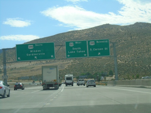
End I-580 South at US-395/US-50/Bus. US-395
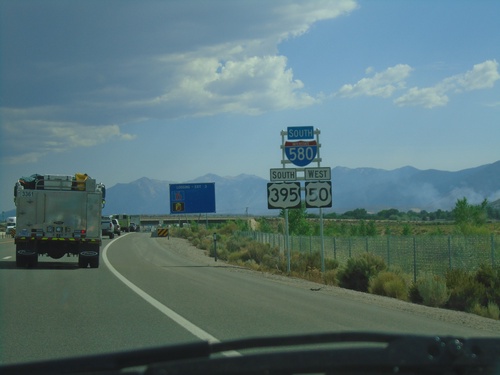
End I-580 South at US-395/US-50/Bus. US-395 in Carson City. Turn left for Bus. US-395 North/Carson City; right for US-395 South/Minden/Gardnerville. Continue straight for US-50 West/South Lake Tahoe (California).
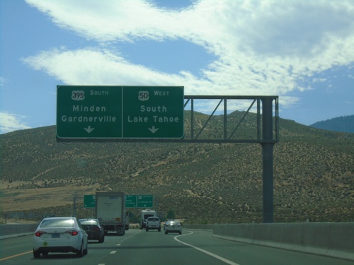
End I-580 South at US-50/US-395/Bus. US-395
End I-580 South at US-50/US-395/Bus. US-395 in Carson City. Use US-395 south for Minden/Gardnerville. Use US-50 West for South Lake Tahoe (California).
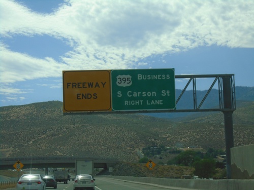
I-580 South Approaching Bus. US-395
I-580 South Approaching Bus. US-395/Carson Street. I-580 and the freeway ends at Carson St.
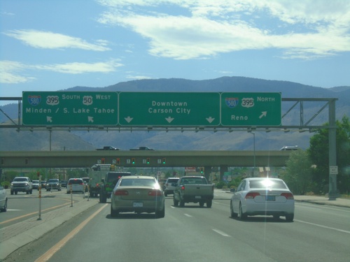
US-50 West Approaching I-580/US-395
US-50 west approaching I-580/US-395. Use I-580/US-395 north for Reno. US-50 west joins I-580/US-395 south for Minden and South Lake Tahoe (CA). Continue on William St. for Downtown Carson City.
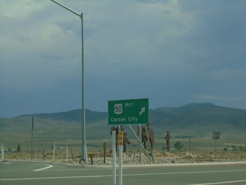
End NV-439 South at US-50
End NV-439 South at US-50 Roundabout in Lyon County. Exit roundabout for US-50 West to Carson City.
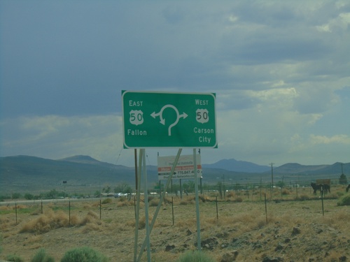
End NV-439 South at US-50 Roundabout
End NV-439 South at US-50 Roundabout in Lyon County. Use US-50 East for Fallon; US-50 West for Carson City.
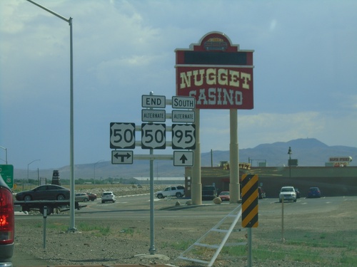
Alt. US-50 West/Alt. US-95 South at US-50
Alt. US-50 West/Alt. US-95 South at US-50. This is the western end of Alt. US-50. Normally the shields for the Alternate routes in Nevada do not spell out the text ALTERNATE - instead they usually read ALT.
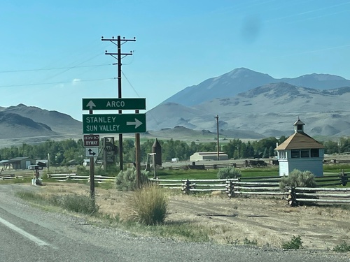
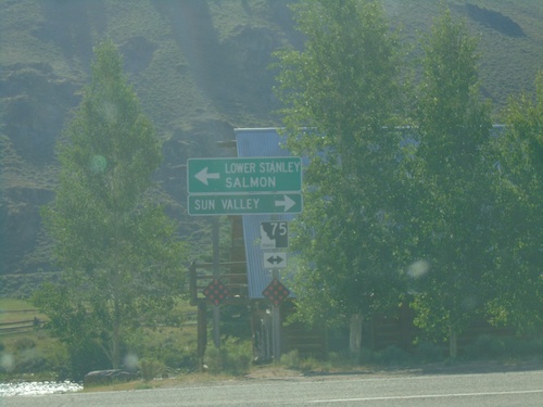
US-93 South at ID-75
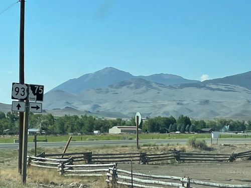
US-93 South at ID-75 in Custer County. Turn right for ID-75 south to Stanley and Sun Valley. Continue south on US-93 for Arco.
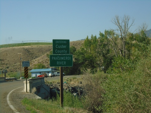
US-93 South - Custer County/Pahsimeroi River
US-93 South Entering Custer County at the Pahsimeroi River
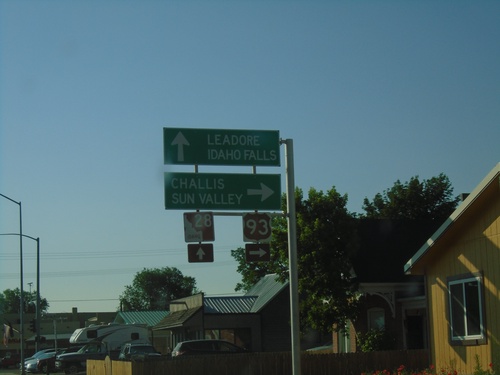
US-93 South at ID-28
US-93 south at ID-28 in Salmon. Turn right to continue south on US-93 to Challis and Sun Valley. Continue straight on Main St. for ID-28 South to Leadore and Idaho Falls.
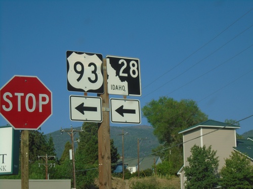
US-93 South/To ID-28 - Main St. Jct.
US-93 South/To ID-28 at Main St. in Salmon. Turn left on Main St. to continue south on US-93 and for ID-28.
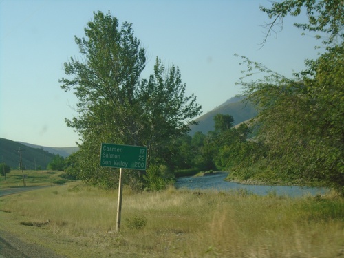
US-93 South - Distance Marker
Distance marker on US-93 south. Distance to Carmen, Salmon, and Sun Valley.
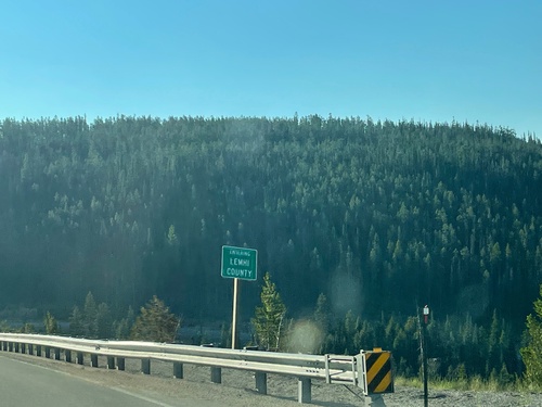
US-93 South - Lemhi County
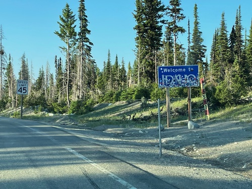
Entering Lemhi County on US-93 south. Taken at the Idaho-Montana State Line at Lost Trail Pass.
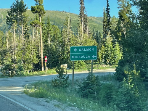
End MT-43 West at US-93 - Lost Trail Pass
End MT-43 West at US-93 at Lost Trail Pass. Turn right for US-93 north to Missoula; left for US-93 south to Salmon (Idaho). This junction is just north of the Idaho-Montana boundary.
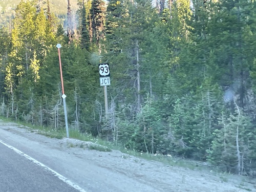
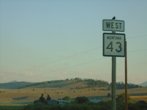
MT-43 West Approaching US-93
MT-43 West approaching US-93. This small stretch of MT-43 between Chief Joseph Pass and Lost Trail Pass is actually in Idaho. There are no markers or other signs that indicate this stretch of highway is in Idaho.
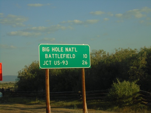
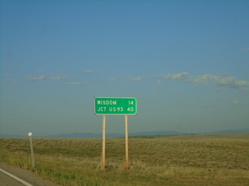
MT-43 West - Distance Marker
Distance marker on MT-43 west. Distance to Big Hole National Battlefield and Jct. US-93.
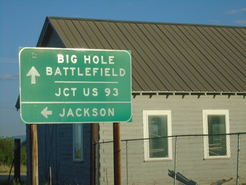
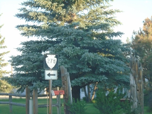
MT-43 West at MTS-278
MT-43 West at MTS-278 to Jackson. Continue west on MT-43 for Big Hole Battlefield and Jct. US-93.
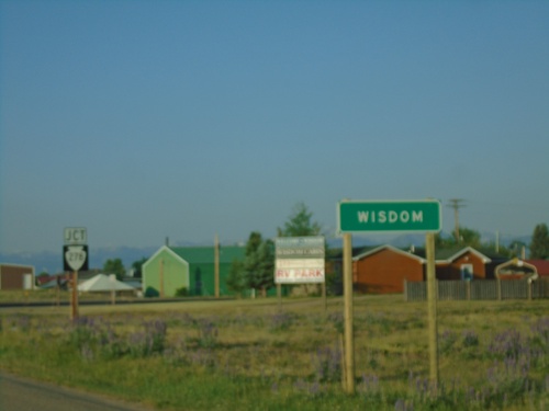
MT-43 West - Entering Wisdom and Approaching MTS-278
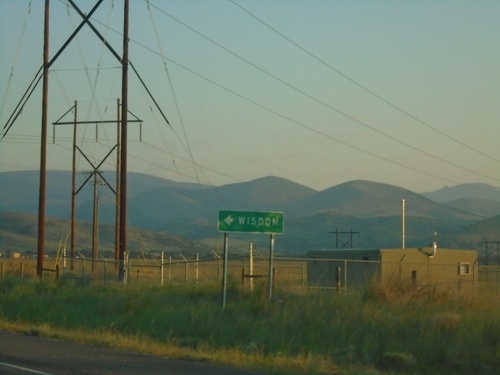
Entering Wisdom and approaching MTS-278 on MT-43 west.
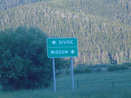
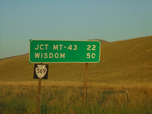
MTS-569 South at MT-43
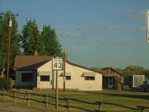
MTS-569 South at MT-43 in Deer Lodge County. Use MT-43 west for Wisdom; MT-43 east for Divide.
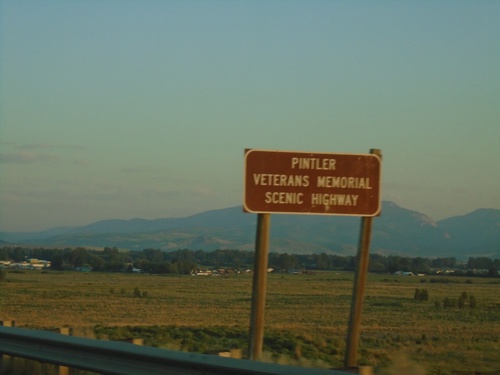
MT-1 West - Pintler Veterans Memorial Scenic Highway
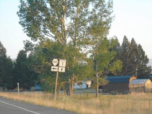
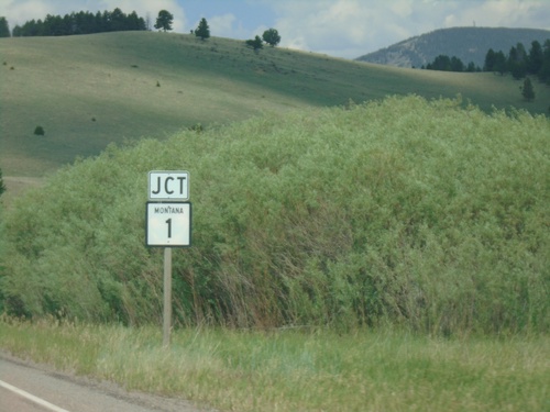
Pintler Veterans Memorial Scenic Highway on MT-1 west.
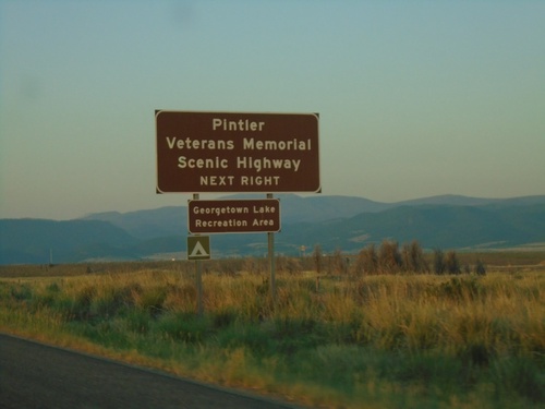
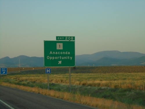
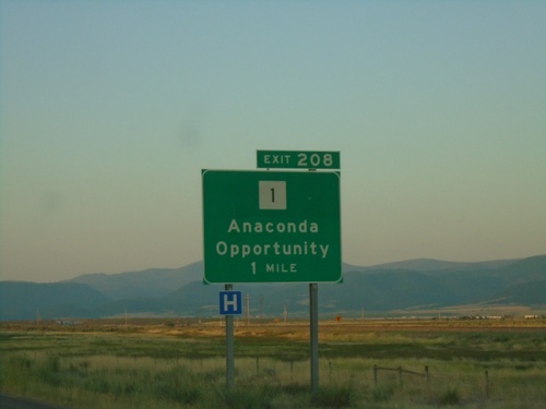
I-90 East - Exit 208
I-90 east approaching Exit 208. Use Exit 208 for the Pintler Veterans Memorial Scenic Highway and Georgetown Lake Recreation Area.
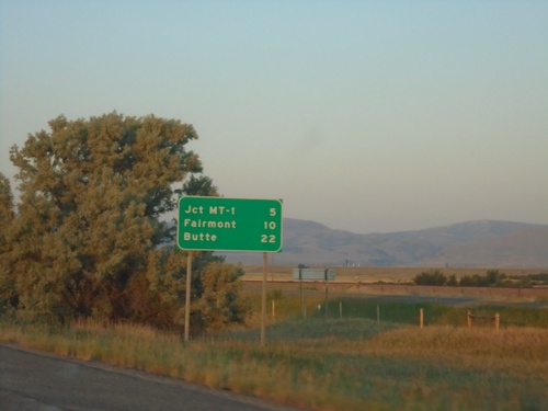
I-90 East - Distance Marker
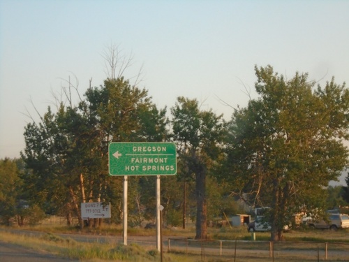
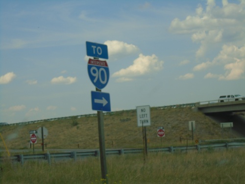
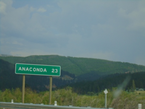
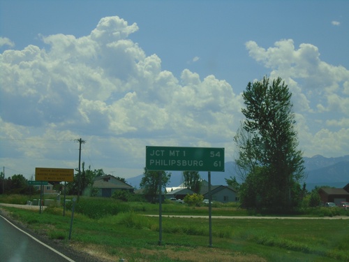
Distance marker on I-90 East. Distance to Jct. MT-1, Fairmont, and Butte.
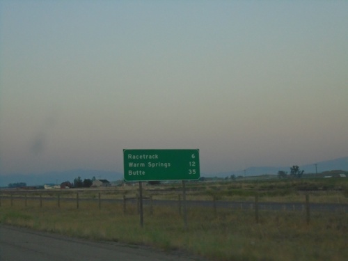
I-90 East - Distance Marker
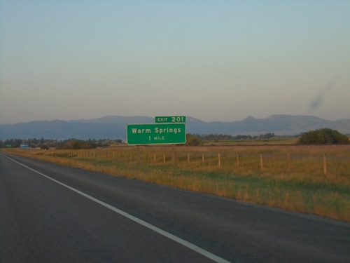
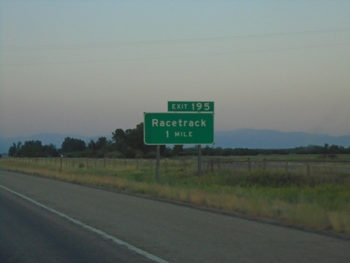
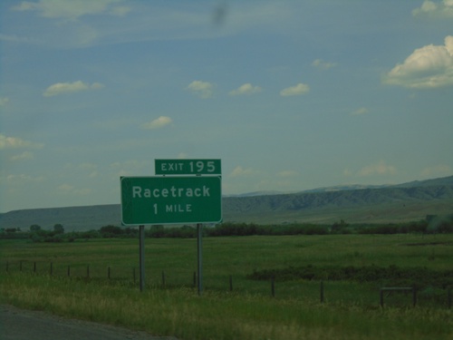
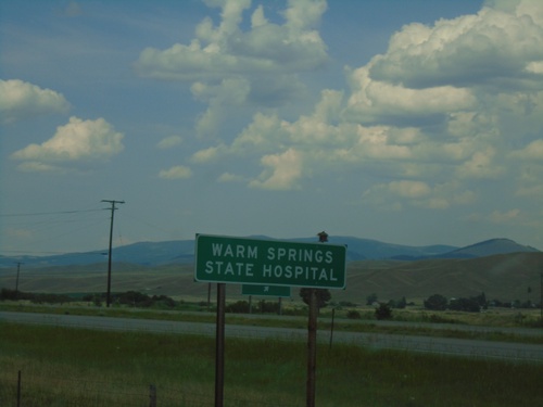
Distance marker on I-90 east. Distance to Racetrack, Warm Springs, and Butte.
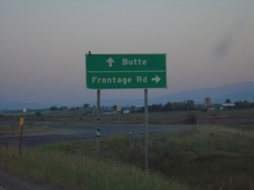
BL-90 East at Frontage Road and I-90
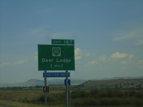
BL-90 East at Frontage Road and I-90. Turn right for Frontage Road. Continue straight for I-90 onramp (Exit 187) to Butte.
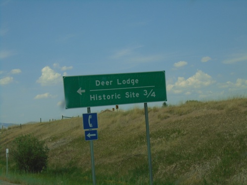
I-90 West - Exit 184 Offramp
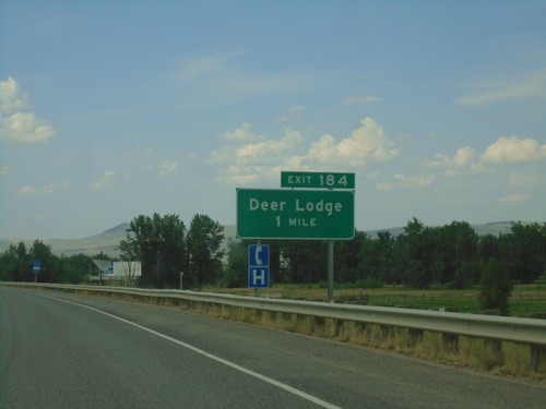
I-90 West Exit 184 offramp at BL-90. Turn left on BL-90 for Historic Site and Deer Lodge.
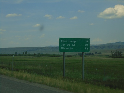
I-90 West - Distance Marker
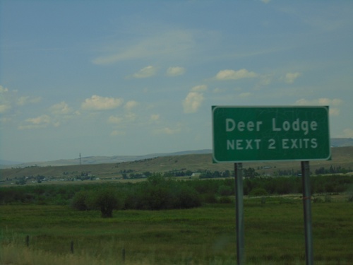
Distance marker on I-90 west. Distance to Deer Lodge, Jct. US-12, and Missoula.
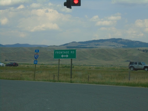
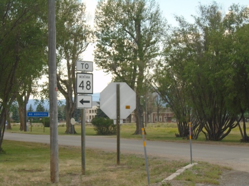
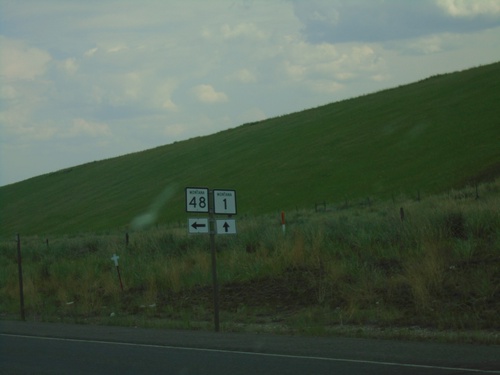
End MT-48 East at Frontage Road (To I-90)
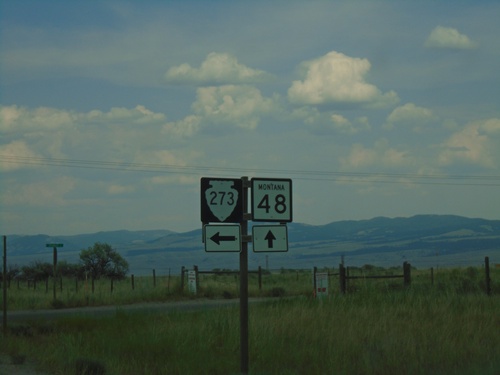
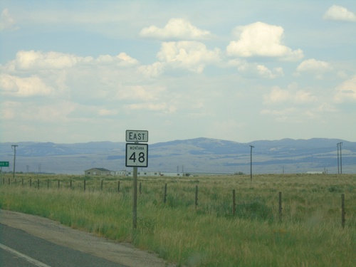
End MT-48 East at Frontage Road. Turn left on Frontage Road for I-90.
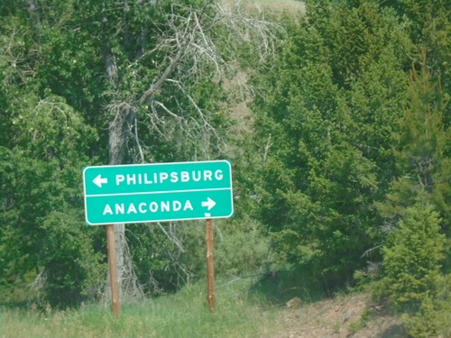
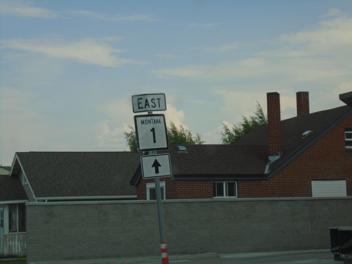
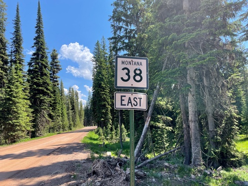
End MT-38 East at MT-1
End MT-38 East at MT-1 in Granite County. Turn left for Philipsburg; right for Anaconda.
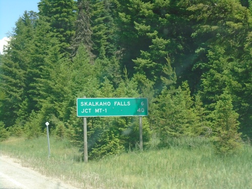
MT-38 East - Distance Marker
Distance marker on MT-38 east. Distance to Skalkaho Falls and Jct. MT-1.
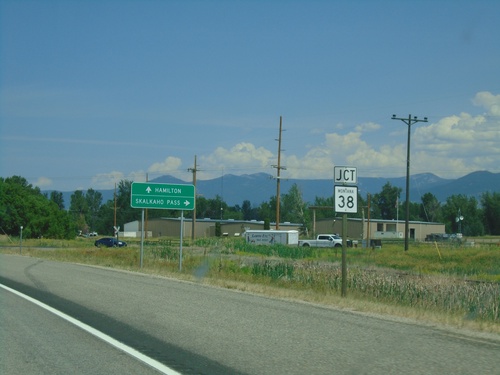
US-93 North Approaching MT-38
US-93 North approaching MT-38 east to Skalkaho Pass. Continue north on US-93 to Hamilton.
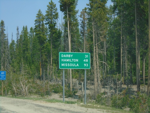
US-93 North - Distance Marker
Distance marker on US-93 north. Distance to Darby, Hamilton, and Missoula.
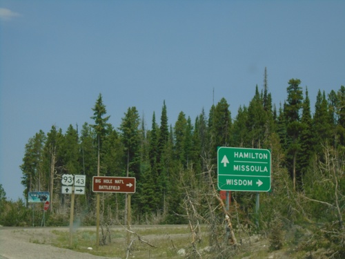
US-93 North at MT-43 - Lost Trail Pass
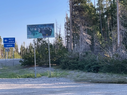
US-93 north at MT-43 East at the top of Lost Trail Pass, on the Idaho-Montana State Line. Turn right on MT-43 for Wisdom and the Big Hole National Battlefield. Continue north on US-93 for Hamilton and Missoula. The welcome to Montana sign is in the background.
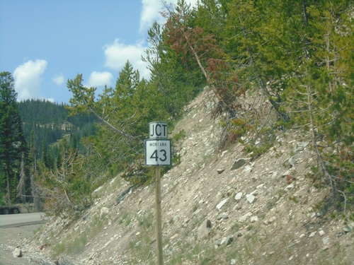
US-93 North Approaching MT-43 Junction
US-93 North approaching MT-43 Junction. The MT-43/US-93 intersection is at the top of Lost Trail Pass on the stateline with Idaho and Montana.
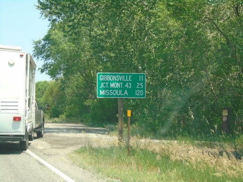
US-93 North - Distance Marker
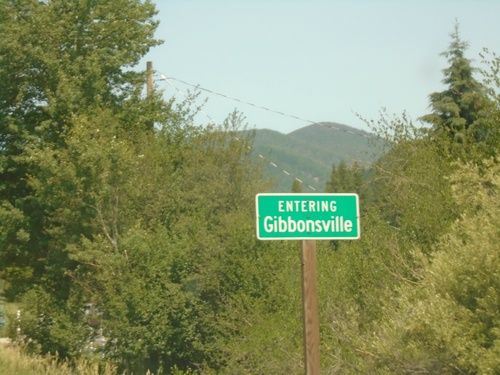
Distance marker on US-93 north. Distance to Gibbonsville, Jct. Mont. 43 (at Lost Trail Pass), and Missoula (Montana).
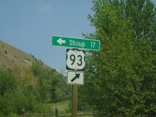
US-93 North - Shoup Jct.
US-93 north at Salmon River Road Jct. to Shoup. The Salmon River heads west here.
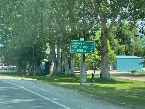
US-93 North - Distance Marker
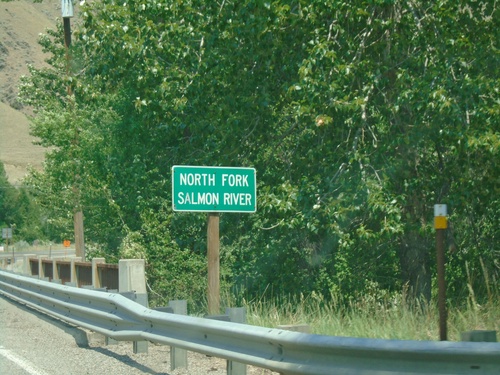
Distance marker on US-93 north. Distance to Carmen, North Fork, and Missoula (Montana).
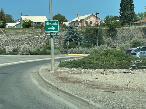
US-93 North - Salmon
US-93 North in Salmon. Turn right to continue north on US-93 towards Missoula (Montana).
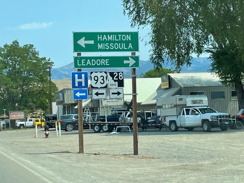
US-93 North at ID-28
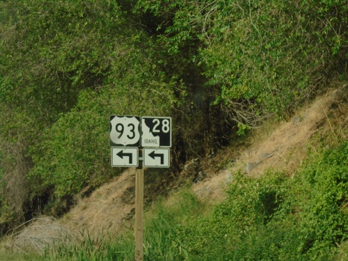
US-93 North at ID-28 south to Leadore. Turn left to continue north on US-93 to Hamilton (MT) and Missoula (MT).
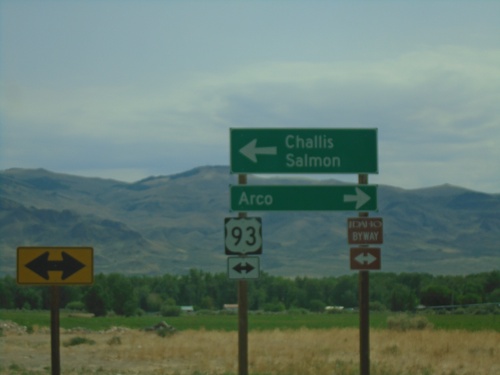
End ID-75 North at US-93
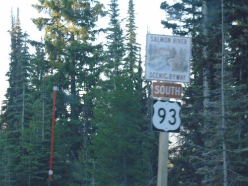
End ID-75 at US-93. Turn left for US-93 north to Challis and Salmon. Turn right for US-93 south to Arco. US-93 north is part of the Salmon River Scenic Byway; US-93 south is part of the Peaks to Craters Scenic Byway.
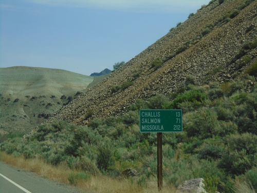
ID-75 North - Distance Marker
Distance marker on ID-75 north. Distance to Challis, Salmon, and Missoula (Montana).
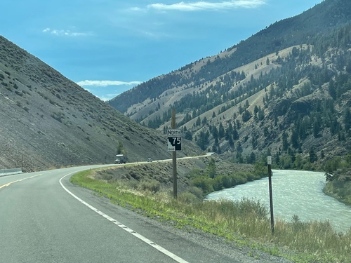
ID-75 North - Custer County
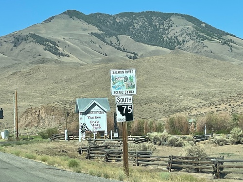
ID-75 north, just north of Clayton. The Salmon River is in the background.
