Signs From September 2021
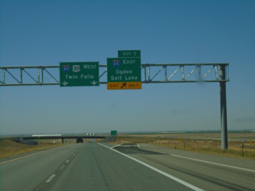
End I-86 West at I-84
End I-86 west at I-84. Merge right onto Exit 1 for I-84 East/Ogden/Salt Lake. Continue ahead for I-84/US-30 West/Twin Falls. This is the western end of I-86.
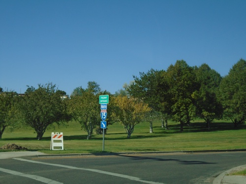
Pocatello Creek Road at I-15 North
Pocatello Creek Road at I-15 North. This type of sign assembly with the Freeway Entrance sign mounted on the shield is not very common in Idaho.
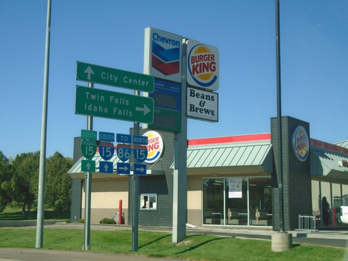
Pocatello Creek Road West at I-15
Pocatello Creek Road west at I-15. Use I-15 North for I-86, Twin Falls and Idaho Falls. Continue straight on Pocatello Creek Road for I-15 South and BL-15 to City Center.
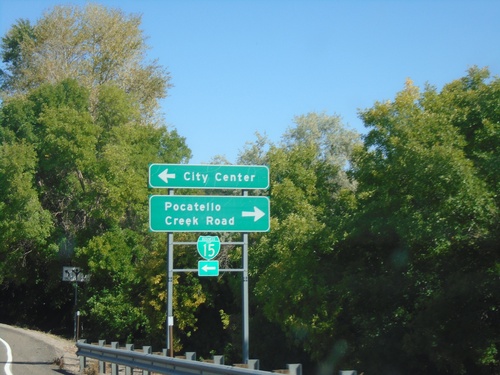
I-15 North Exit 71 Offramp
I-15 North Exit 71 Offramp at BL-15/Pocatello Creek Road. Turn right for Pocatello Creek Road; left for I-15 and City Center.
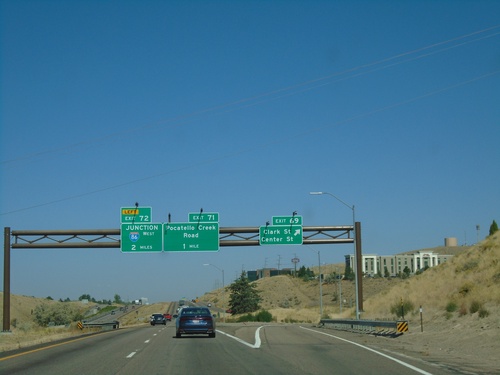
I-15 North - Exits 69, 71, and 72
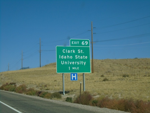
I-15 north at Exit 69 - Clark St/Center St. Approaching Exit 71 - Pocatello Creek Road, and Exit 72 - Junction I-86 West.
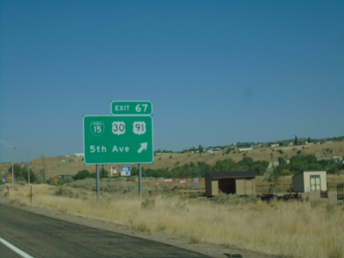
I-15 North - Exit 67
I-15 north at Exit 67 - BL-15/US-30/US-91/5th Ave. US-91 and US-30 leave I-15 northbound. This is the southern end of the Pocatello business loop.
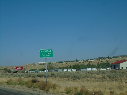
I-15 North - Pocatello City Limit
Entering Pocatello on I-15 north. Pocatello is the 6rd largest city in Idaho according to the 2020 Census.
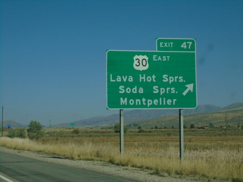
I-15 North - Exit 47
I-15 north at Exit 47 - US-30 East/Lava Hot Springs/Soda Springs/Montpelier. US-30 west joins I-15 and US-91 north to Pocatello.
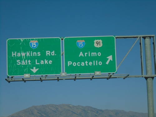
US-91 North At I-15
US-91 north approaching I-15. I-15/US-91 north to Arimo and Pocatello. Continue over overpass for I-15 South to Salt Lake (Utah) and Hawkins Road. US-91 north joins I-15 north to Pocatello.
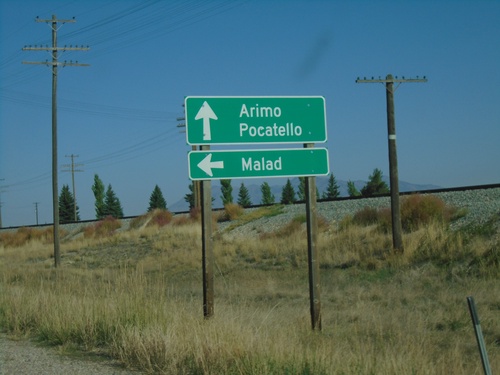
US-91 North at ID-40 West
US-91 north at ID-40 west to Malad. Continue north on US-91 for Arimo and Pocatello.
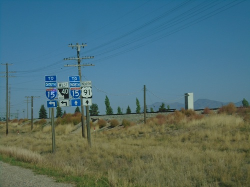
US-91 North Approaching ID-40 West
US-91 North approaching ID-40 West. Continue north on US-91 for I-15 North; use ID-40 west for I-15 south.
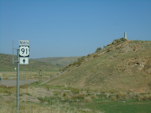
US-91 North at Oxford Highway
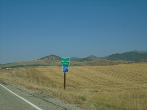
US-91 North at Oxford Highway in Bannock County. The intersection is located at Red Rock Pass which was the site of an ancient dam on prehistoric Lake Bonneville. The erosion of this dam created the catastrophic Bonneville Floods which affected much of the Snake River plain of Idaho.
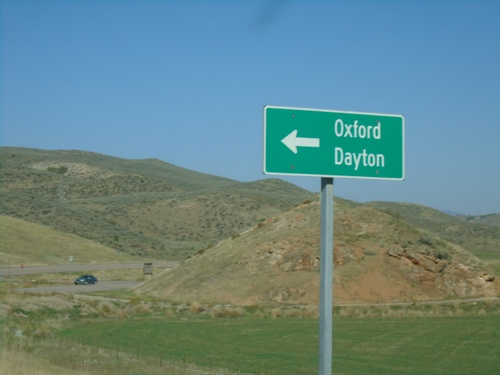
US-91 North Approaching Oxford Highway
US-91 North approaching Oxford Highway south to Oxford and Dayton.
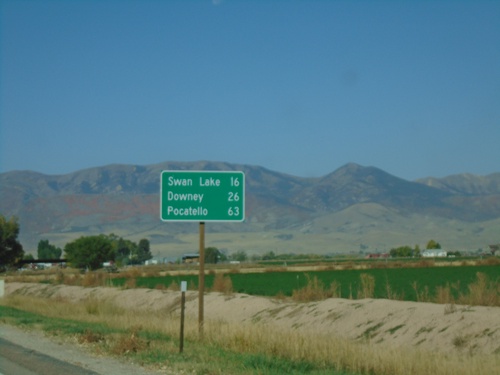
US-91 North - Distance Marker
Distance marker on US-91 north. Distance to Swan Lake, Downey, and Pocatello.
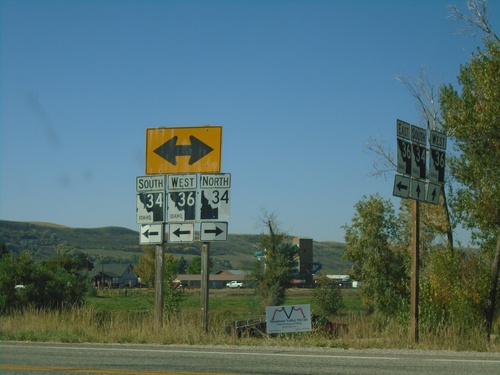
ID-36 West at ID-34 - Franklin County
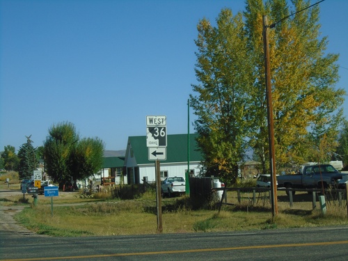
ID-36 West at ID-34 in Franklin County. Turn right for ID-34 North; turn left for ID-34 South/ID-36 West. Notice the the old and new varieties of Idaho state highway markers (ID-34 North - New, ID-34 South/ID-36 West - Old).
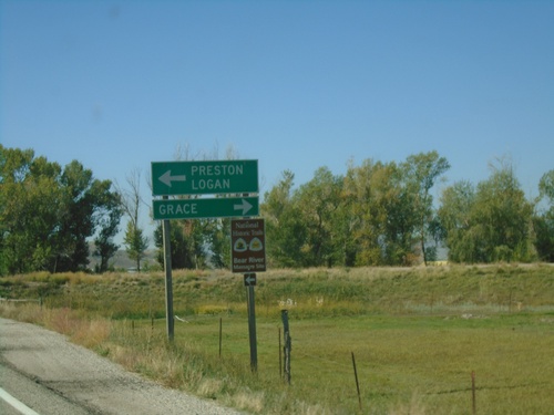
ID-36 West at ID-34 - Franklin County
ID-36 West at ID-34 in Franklin County. Use ID-34 North to Grace; ID-34 South/ID-36 West to Preston and Logan (Utah).
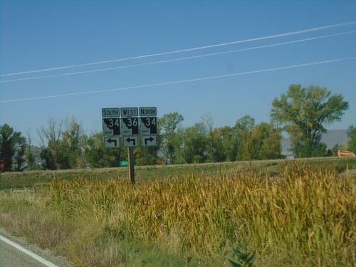
ID-36 West Approaching ID-34
ID-36 West approaching ID-34 in Franklin County. ID-36 West joins ID-34 south to Preston.
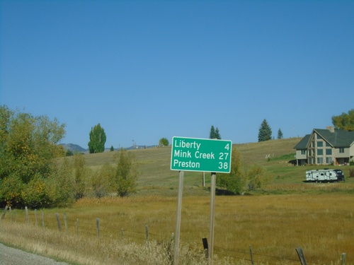
ID-36 West - Distance Marker
Distance marker on ID-36 west. Distance to Liberty, Mink Creek, and Preston.
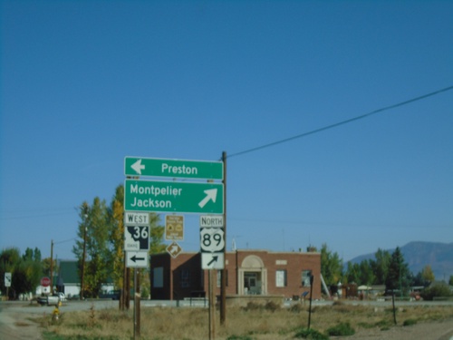
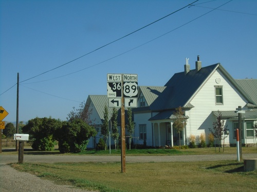
US-89 North at ID-36
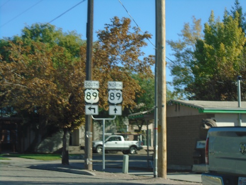
US-89 North at ID-36. Merge right to continue north on US-89 towards Montpelier and Jackson (Wyoming). Use ID-36 West for Preston.
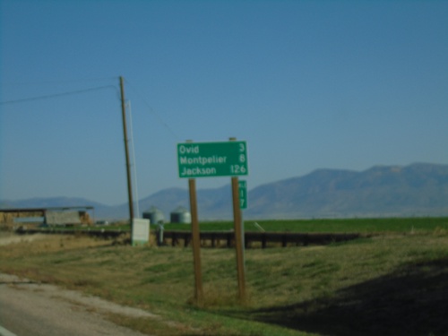
US-89 North - Distance Marker
Distance marker on US-89 north. Distance to Ovid, Montpelier, and Jackson (Wyoming).
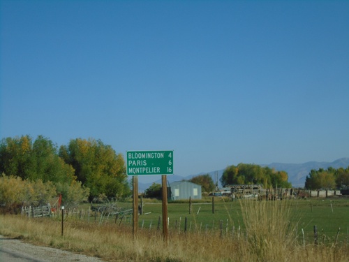
US-89 North - Distance Marker
Distance marker US-89 North. Distance to Bloomington, Paris, and Montpelier.
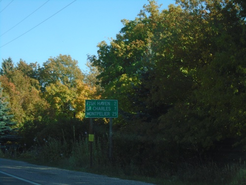
US-89 North - Distance Marker
Distance marker on US-89 north. Distance to Fish Haven, St. Charles, and Montpelier.
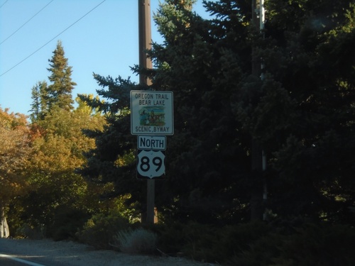
US-89 North - Oregon Trail - Bear Lake Scenic Byway
Oregon Trail - Bear Lake Scenic Byway on US-89 North
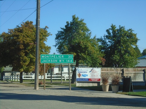
US-89 North - Distance Marker
Distance marker on US-89 North. Distance to Montpelier (Idaho) and Jackson, WY. This is the last distance marker northbound on US-89 in Utah.
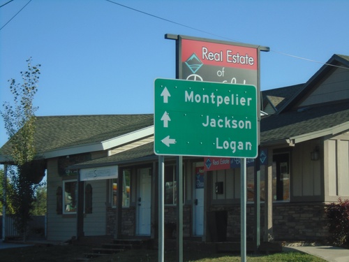
UT-30 West at US-89
UT-30 west at US-89. Use US-89 north for Montpelier (ID), and Jackson (WY). Use US-89 south for Logan.
UT-30 West Approaching UT-16
UT-30 west approaching UT-16. Use UT-16 south for Randolph, Woodruff, and Evanston (Wyoming).
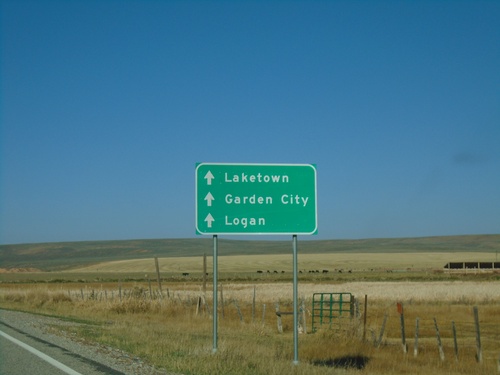
UT-30 West Approaching UT-16
UT-30 west approaching UT-16. Use UT-30 west for Laketown, Garden City, and Logan.
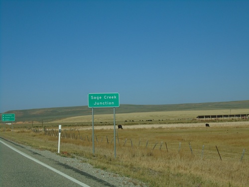
UT-30 West - Sage Creek Junction
UT-30 west at Sage Creek Junction. This is the name for the UT-30/UT-16 junction.
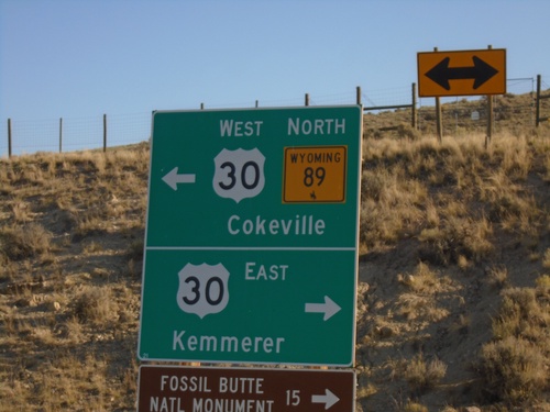
WY-89 North at US-30
WY-89 north at US-30. Use US-30 east for Kemmerer and Fossil Butte National Monument. Use US-30 West/WY-89 North for Cokeville. WY-89 North joins US-30 West to Border Junction.
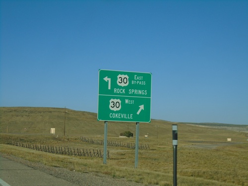
US-30 West at Bypass US-30
US-30 West at (Kemmerer) Bypass US-30. Use Bypass US-30 East for Rock Springs; use US-30 West for Cokeville.
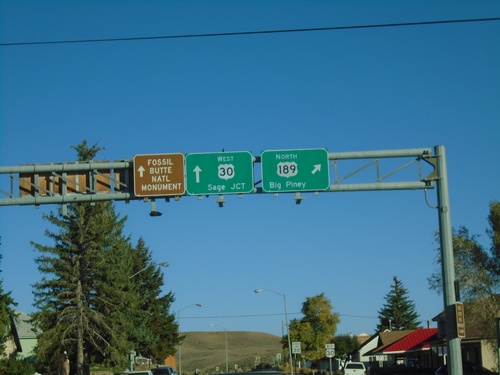
US-30 West/US-189 North at US-189/US-30 Split
US-30 West/US-189 North at US-189/US-30 split in Kemmerer. Use US-189 North for Big Piney; use US-30 West for Sage Junction and Fossil Butte National Monument.
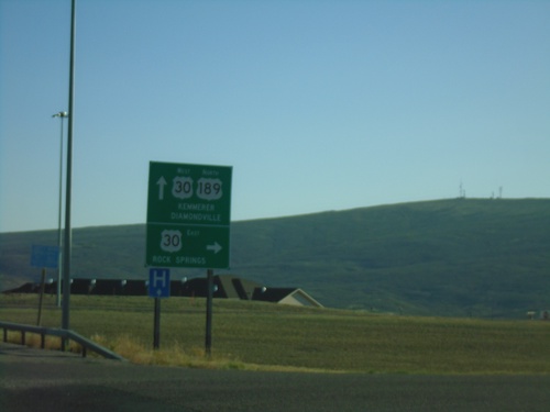
US-189 North at US-30 and US-30 Bypass
US-189 North at US-30 East to Rock Springs. Continue north on US-189/US-30 West for Kemmerer and Diamondville. US-189 North joins US-30 West to the city center of Kemmerer.
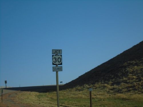
US-189 North Approaching US-30 and US-30 Bypass
US-189 North Approaching US-30 and US-30 Kemmerer Bypass
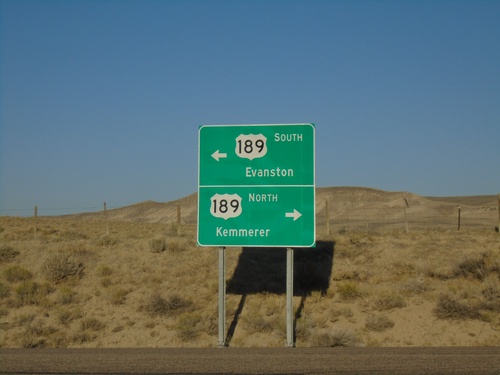
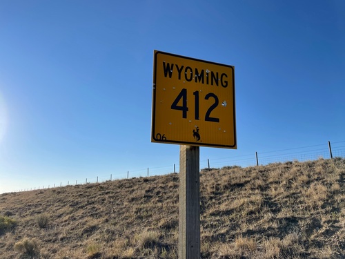
End WY-412 North at US-189
End WY-412 North at US-189 in Lincoln County. Use US-189 North to Kemmerer; US-189 South to Evanston.
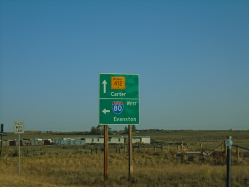
End WY-414 North at I-80/WY-412
End WY-414 North at WY-412 and I-80 West. Use I-80 West for Evanston; continue north on WY-412 for Carter.
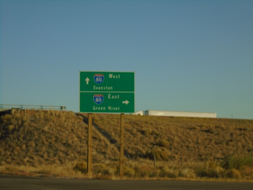
End WY-414 North at I-80/WY-412
End WY-414 North at I-80/WY-414. Use I-80 West for Evanston; I-80 East for Green River. Continue north for WY-412.
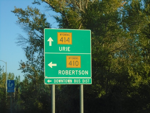
WY-414 North at WY-410 to Robertson
WY-414 north at WY-410 to Robertson and (Mountain View) Downtown Business District. Continue north on WY-414 for Urie.
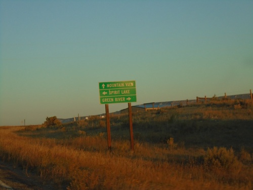
WY-414 North - McKinnon Road
WY-414 North at McKinnon Road. Turn right for Green River; left for Spirit Lake. Continue north on WY-414 for Mountain View.
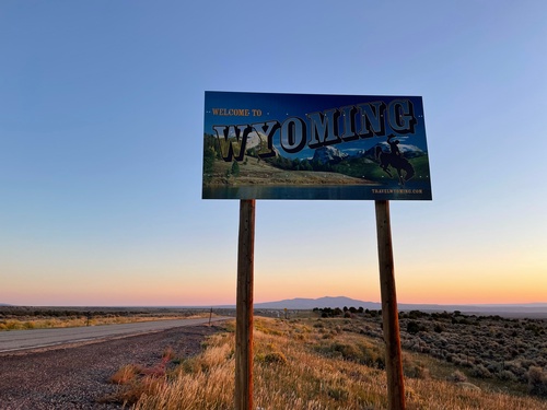
Welcome To Wyoming - WY-414 North
Welcome To Wyoming on WY-414 North. Taken at the Utah-Wyoming Line.
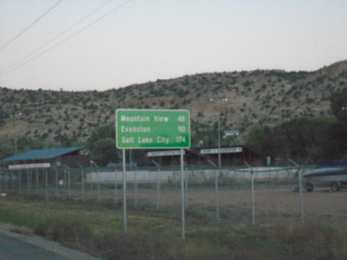
UT-43 West - Distance Marker
Distance marker on UT-43 west. Distance to Mountain View (WY), Evanston (WY), and Salt Lake City. Access to Salt Lake City via UT-43 west involves cutting through the southwest corner of Wyoming.
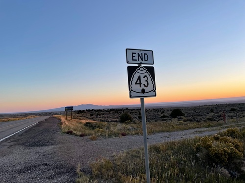
End UT-43 at Utah-Wyoming Line
End UT-43 at Utah-Wyoming State Line. UT-43 becomes WY-414 in Wyoming.
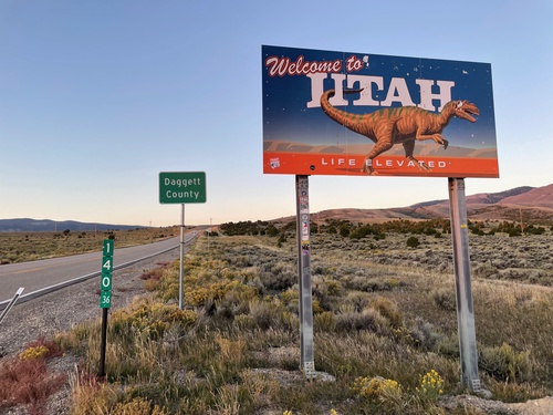
UT-43 - Welcome To Utah - Daggett County
Welcome To Utah / Daggett County on UT-43. The Wyoming milemarker is in the foreground.
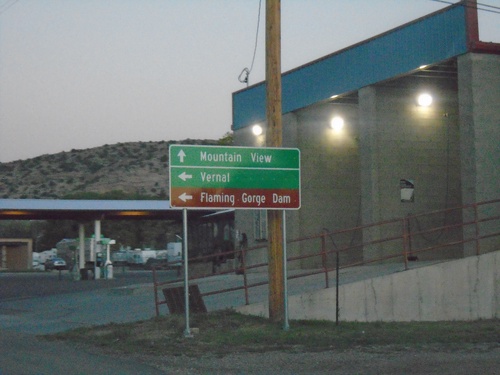
UT-43 West at UT-44
UT-43 west at UT-44 in Manila. Use UT-43 west for Mountain View (Wyoming). Use UT-44 South for Vernal and Flaming Gorge Dam.
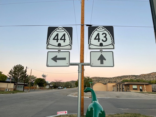
UT-43 West at UT-44
UT-43 west at UT-44 in Manila. Sinclair gasoline dinosaur in foreground of photo.
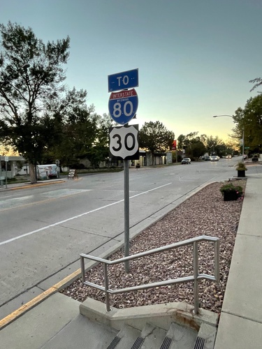
Flaming Gorge Way - To I-80/US-30
Flaming Gorge Way (BL-80/Bus. US-30) west - To I-80/US-30 in Green River.
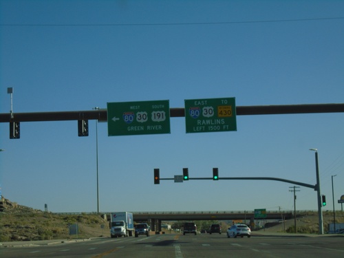
I-80 West - Exit 104 Offramp
US-191 South at I-80/US-30 (Exit 104). Use I-80/US-30 West to Green River. Use I-80/US-30 East to Rawlins.
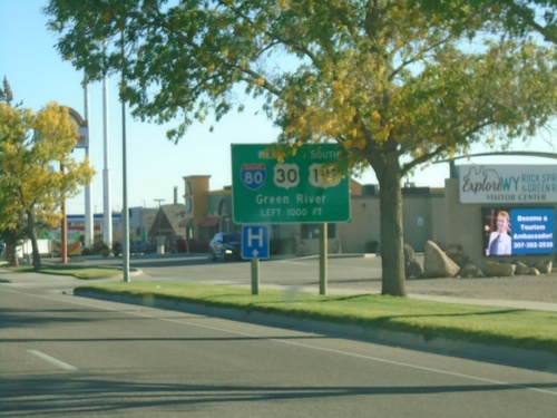
US-191 South Approaching I-80/US-191
US-191 South approaching I-80/US-191 in Rock Springs. Use I-80 West/US-30 West/US-191 South to Green River.
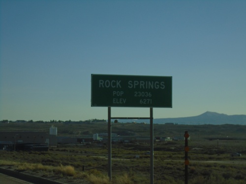
US-191 South - Rock Springs
Entering Rock Springs on US-191 south. Population 23036 / Elevation 6271 Feet. Rock Springs is the 5th largest city in Wyoming based on the 2010 census.
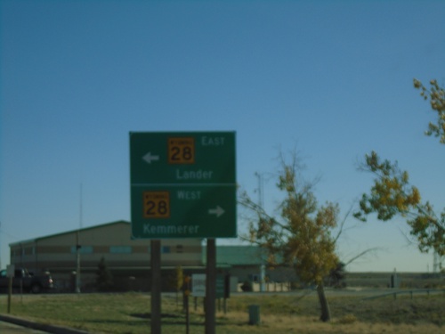
US-191 South at WY-28
US-191 South at WY-28 in Farson. Use WY-28 West for Kemmerer; WY-28 East for Lander.
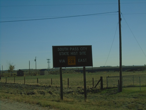
US-191 South Approaching WY-28
US-191 South approaching WY-28. Use WY-28 east for South Pass City State Historical Site.
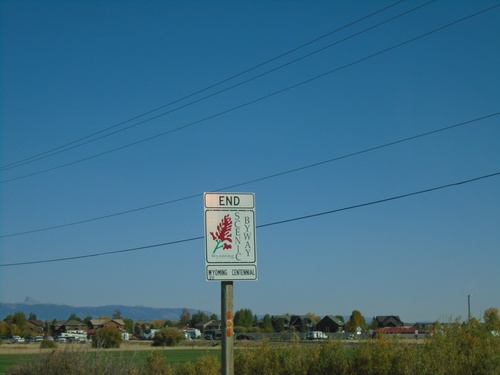
US-191 South - End Wyoming Centennial Scenic Byway
End Wyoming Centennial Scenic Byway on US-191 South. The Wyoming Centennial Scenic Byway runs between Dubois and Pinedale Wyoming. Following routes US-26, and US-191.
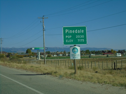
US-191 South - Pinedale
Entering Pinedale on US-191 south - Population 2030 / Elevation 7175. Pinedale is the county seat of Sublette County.
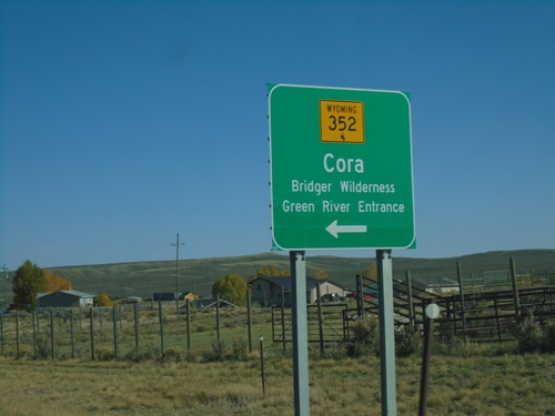
US-191 South at WY-352
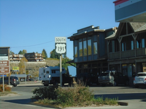
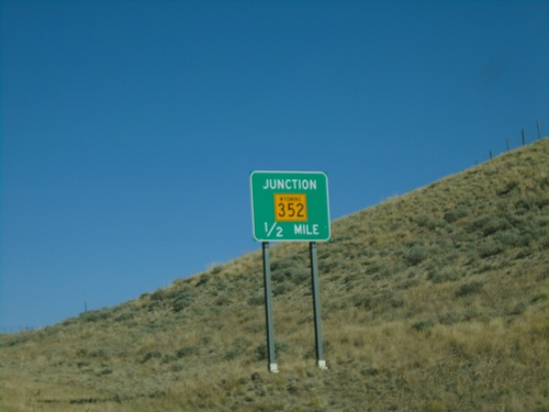
US-191 South at WY-352 North to Cora and Bridger Wilderness (Green River Entrance).
US-191 South - Distance Marker
Distance marker on US-191 south. Distance to Pinedale and Rock Springs.
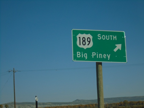
US-189/US-191 South - Daniel Junction
US-189/US-191 South at Daniel Junction. Turn right to continue south on US-189 to Big Piney.
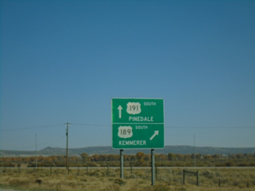
US-189/US-191 South - Daniel Junction
US-189/US-191 South at US-189/US-191 Split. Turn right for US-189 south to Kemmerer. Continue straight for US-191 south to Pinedale.
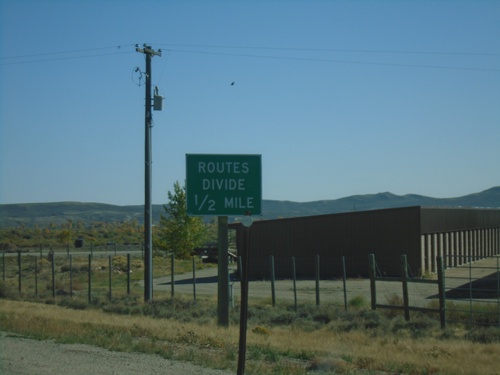
US-189/US-191 South - Routes Divide
US-189/US-191 South approaching US-189/US-191 split. Wyoming typically posts a Routes Divide sign at intersections similar to this where two co-signed highways split onto different roads.
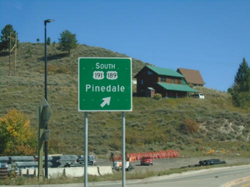
US-26/US-89/US-189/US-191 - Hoback Junction Roundabout
US-26/US-89/US-189/US-191 roundabout at Hoback Junction. Merge right for US-189/US-191 South to Pinedale.
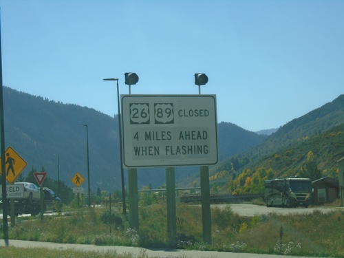
US-26 West - US-89/US-189/US-191 South at Hoback Junction - Road Closure Information
Road Closure Information at US-26 West - US-89/US-189/US-191 South in Hoback Junction. Road Closed on US-26 West/US-89 South when lights flashing.
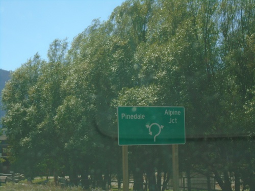
US-26 West - US-89/US-189/US-191 South - Roundabout
US-26 West - US-89/US-189/US-191 South entering roundabout at Hoback Junction. Use US-26 West/US-89 South for Alpine Jct.; use US-189/US-191 South for Pinedale.
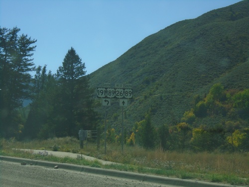
US-26 West - US-89/US-189/US-191 South Approaching Hoback Jct.
US-26 West - US-89/US-189/US-191 South approaching roundabout at Hoback Junction.
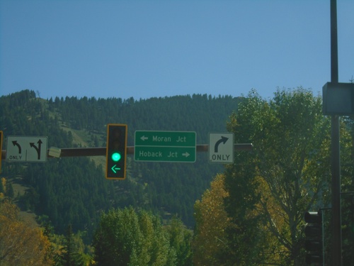
End WY-22 East at US-26/US-89/US-189/US-191
End WY-22 East at US-26/US-89/US-189/US-191 in Jackson. Turn left on US-26 East/US-89/US-189/US-191 North to Moran Jct. Turn right on US-26 West/US-89/US-189/US-191 South to Hoback Jct.
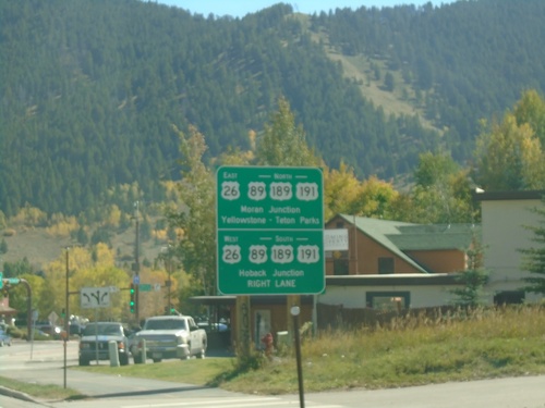
WY-22 East at US-26/US-89/US-189/US-191
End WY-22 East at US-26/US-89/US-189/US-191. Use US-26 West/US-89/US-189/US-191 South to Hoback Junction. Use US-26 East/US-89/US-189/US-191 North to Moran Junction and Yellowstone - Teton National Parks.
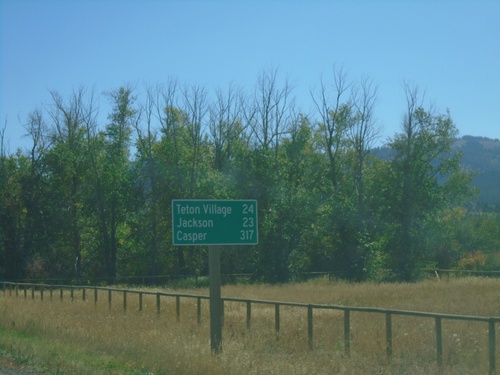
ID-33 East - Distance Marker
Last distance marker on ID-33 east in Idaho. Distance to Teton Village, Jackson, and Casper. All destinations are in Wyoming.
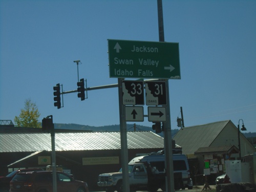
ID-33 East at ID-31
ID-33 East at ID-31 in Victor. Turn right on ID-31 south for Swan Valley and Idaho Falls. Continue straight on ID-33 for Jackson (Wyoming). Teton Scenic Byway leaves ID-33 here and follows ID-31 south.
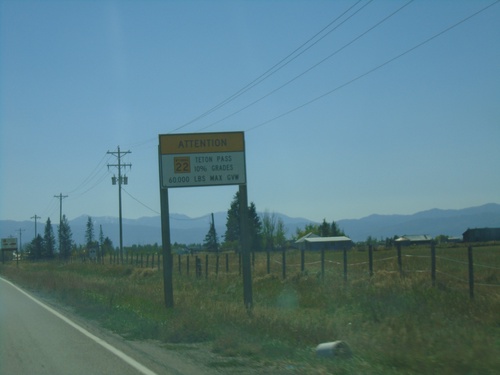
WY-22 East - Teton Pass Restrictions
Sign listing restrictions on Teton Pass in Wyoming. 60,000 lbs GVW over Teton Pass. 10% grades over Teton Pass. Sign displays WY-22 shield within Idaho.
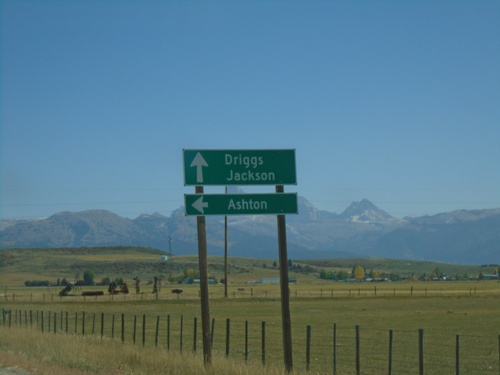
ID-33 East at ID-32
ID-33 east at ID-32 north to Ashton. Continue east on ID-33 for Driggs and Jackson (Wyoming). The Teton Mountain Range are in the background. The Teton Scenic Byway follows ID-32 south and turns east onto ID-33 east here.
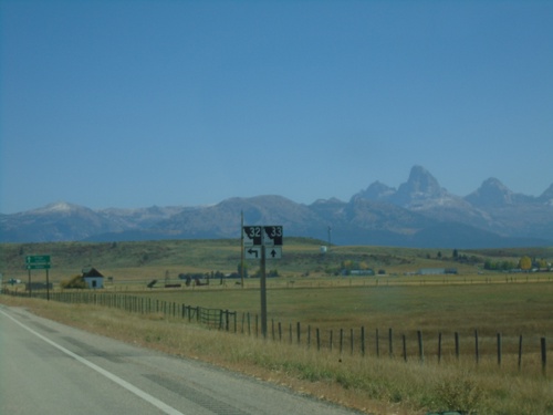
ID-33 East at ID-32 North
ID-33 East at ID-32 North. The Teton Scenic Byway joins ID-33 east here. The Teton Range is in the background of the photo.
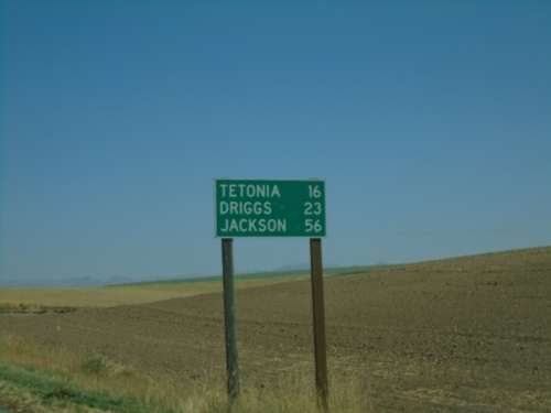
ID-33 East - Distance Marker
Distance marker on ID-33 east. Distance to Tetonia, Driggs, and Jackson (Wyoming).
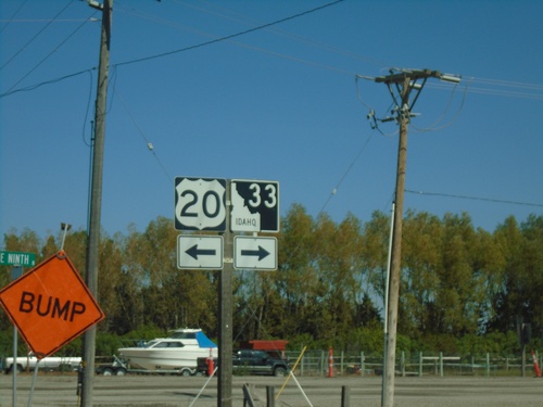
ID-33 East at US-20 Access Road
ID-33 East at US-20 access road. Turn left for US-20 access; turn right to continue on ID-33 east.
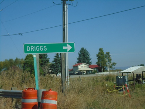
ID-33 East at US-20 Access Road
ID-33 east at access road that connects ID-33 and US-20. Turn right to continue on ID-33 east towards Driggs.
ID-33 East - Rexburg
ID-33 east (W Main St.) in downtown Rexburg. Turn left on N 2nd St. to continue on ID-33.
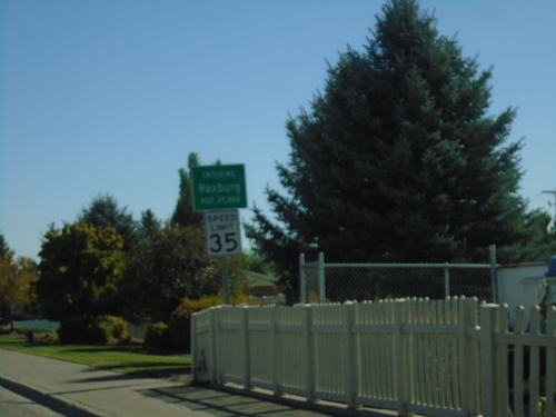
ID-33 East - Entering Rexburg
Entering Rexburg on ID-33 East (W Main St.). Rexburg is the county seat of Madison County.
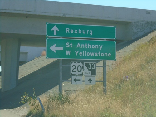
ID-33 East at US-20 East
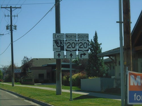
ID-33 east at US-20 east. Use US-20 east for St. Anthony and West Yellowstone (Montana). Continue east on ID-33 for downtown Rexburg.
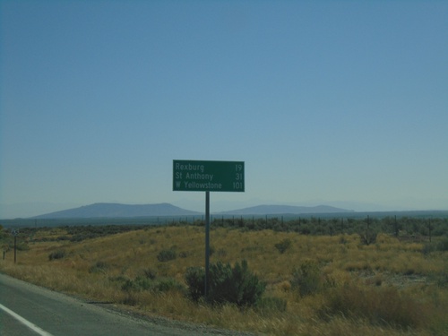
ID-33 East - Distance Marker
Distance marker on ID-33 East. Distance to Rexburg, St. Anthony (via US-20 East), and West Yellowstone (Montana via US-20 East).
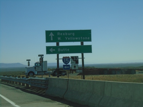
ID-33 East at I-15 North
ID-33 East at I-15 North (Exit 143). Use I-15 North for Butte (Montana). Continue east on ID-33 for Rexburg and West Yellowstone (Montana).
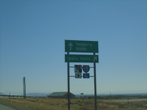
ID-33 East at I-15 South
ID-33 east at I-15 south to Idaho Falls. Continue over overpass for I-15 north onramp to Butte (Montana). Continue east on ID-33 for Rexburg.
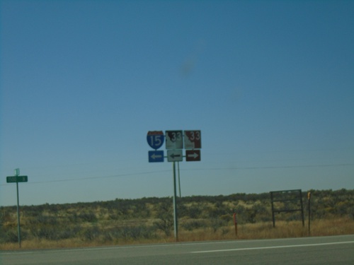
Exit of Weigh Station at ID-33/I-15 Ramps
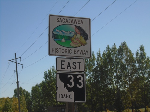
Exit of Sage Junction Weigh Station at ID-33/I-15 Ramps. Turn right for ID-33 West; left for ID-33 East and I-15 onramps (Exit 143). Notice the westbound ID-33 shield is brown, which is an older style of shield denoting a scenic or historic byway. In this case the Sacajawea Historic Byway
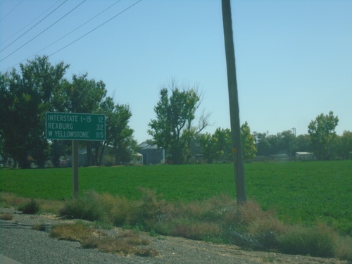
ID-33 East - Distance Marker
Distance marker on ID-33 east. Distance to I-15, Rexburg, and West Yellowstone (Montana - via US-20 East)
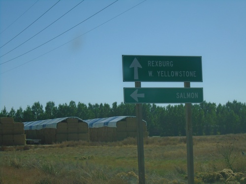
ID-33 East at ID-28
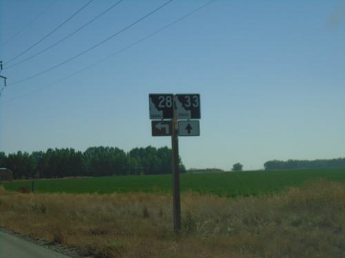
ID-33 east at ID-28 north to Salmon. Continue east on ID-33 for Rexburg and West Yellowstone (Montana). This is the southern end of ID-33. The Sacajawea Historic Byway turns from ID-28 to ID-33 east here.
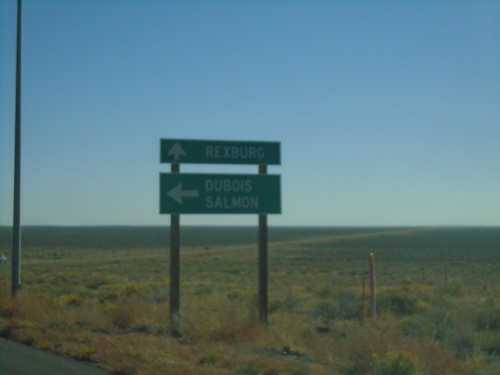
ID-33 East at ID-22 East
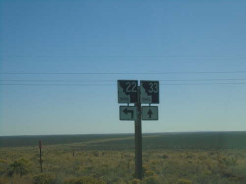
ID-33 east at ID-22 east to Dubois and Salmon (via ID-28). Continue east on ID-33 for Rexburg.
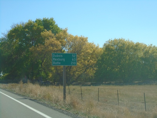
ID-33 East - Distance Marker
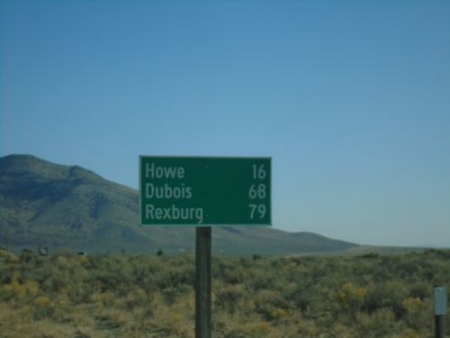
Distance marker on ID-33 east. Distance to Dubois (via ID-22), Rexburg, and Butte (Montana - via ID-22 and I-15).
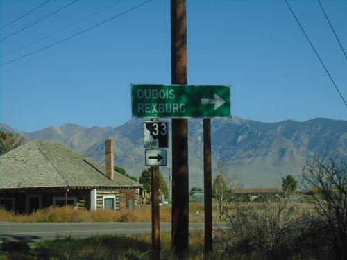
ID-33 East at Little Lost River Highway
ID-33 East at Little Lost River Highway in Howe. Turn right to continue east on ID-33 towards Dubois and Rexburg.
