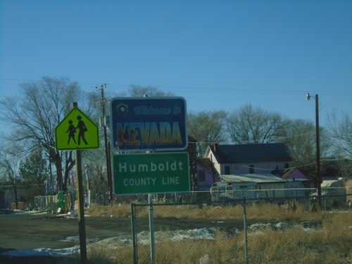
Signs From January 2022
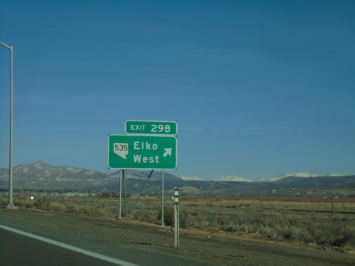
I-80 East - Exit 298
I-80 east at Exit 298 - NV-535/Elko West. The NV-535 shield was added to the Exit 298 freeway junction in 2021. Prior to that the text read Elko West without any route markers.
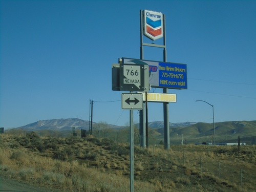
I-80 East Exit 280 Offramp at NV-766
I-80 east Exit 280 offramp at NV-766. NV-766 heads north to Newmont Gold Mine, south into Carlin.
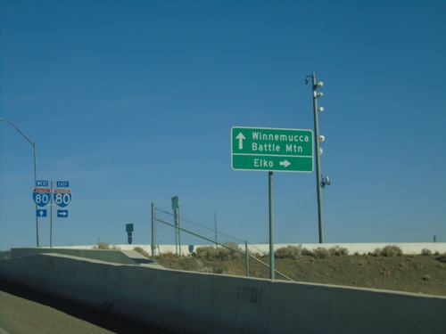
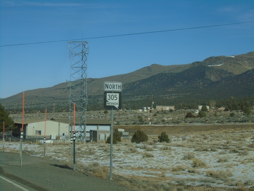
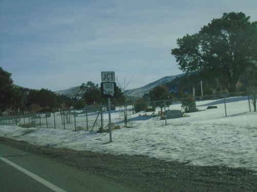
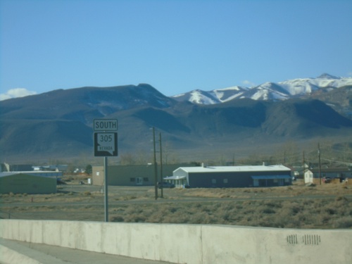
NV-305 North at I-80 - Battle Mountain
NV-305 North at I-80 in Battle Mountain. Turn right for I-80 East to Elko; continue over freeway for I-80 West to Winnemucca and for NV-305 North to Battle Mountain.
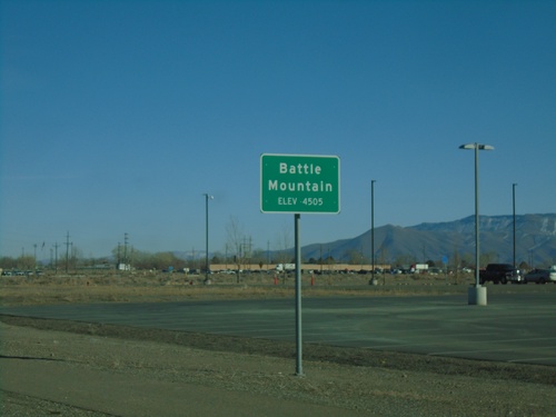
NV-305 North - Battle Mountain
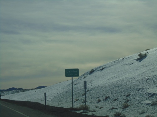
Entering Battle Mountain on NV-305 North. Elevation 4505 Feet. Battle Mountain is the unincorporated county seat of Lander County.
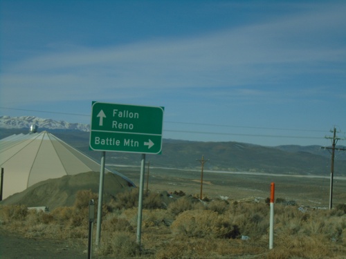
US-50 West at NV-305 North
US-50 west at NV-305 north to Battle Mountain. Continue west on US-50 for Fallon and Reno.
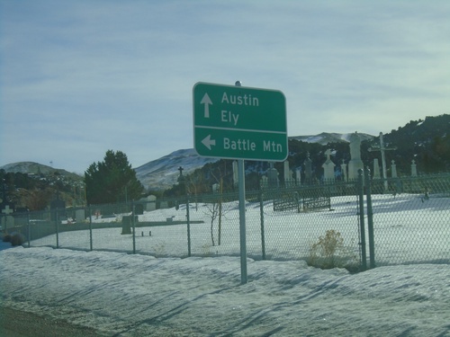
US-50 East at NV-305 North
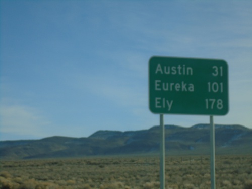
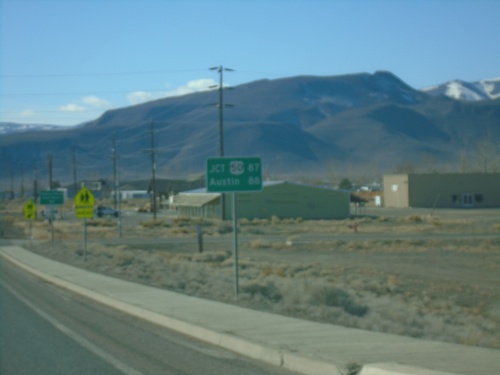
US-50 East at NV-305 north to Battle Mountain. Continue east on US-50 for Austin and Ely.
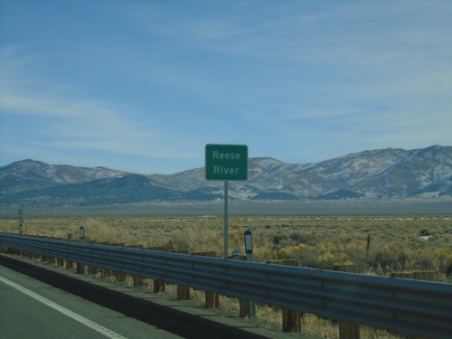
US-50 East - Reese River
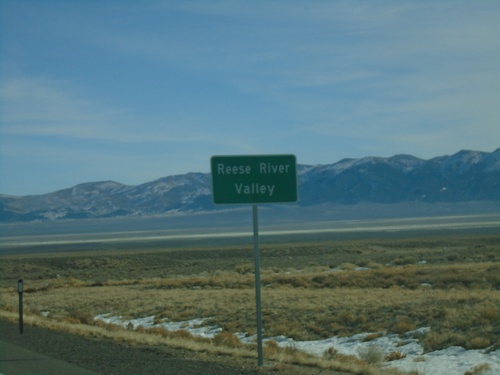
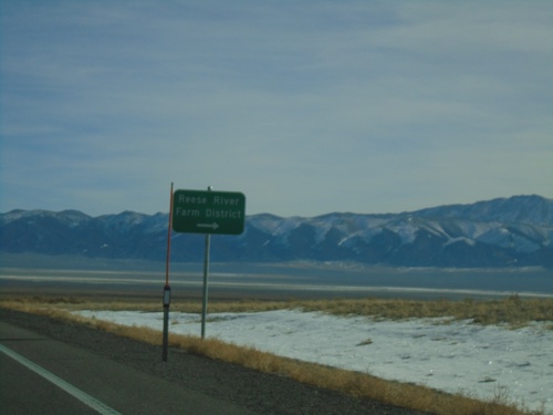
US-50 east at the Reese River in Lander County. The Reese River starts in the Toyiabe Range, south of here, and flows north to the Humboldt River near Battle Mountain.
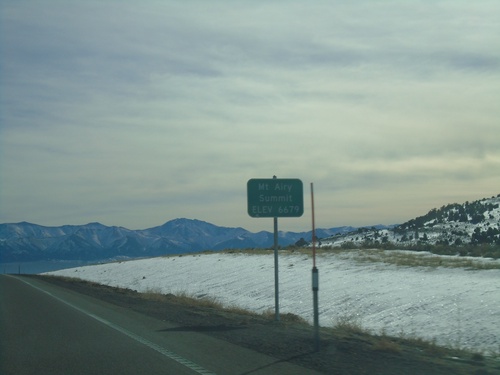
US-50 East - Mount Airy Summit
US-50 East at Mount Airy Summit - Elevation 6679 Feet. Mount Airy Summit is a pass in the Shoshone Mountains.
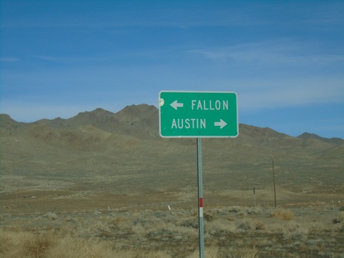
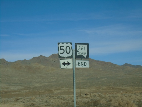
End NV-361 North at US-50
End NV-361 North at US-50 - Middlegate Junction. Use US-50 west for Fallon; US-50 east for Austin.
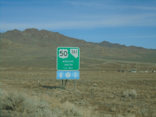
NV-361 North Approaching US-50 - Middlegate Junction
NV-361 North approaching US-50 - Middlegate Junction.
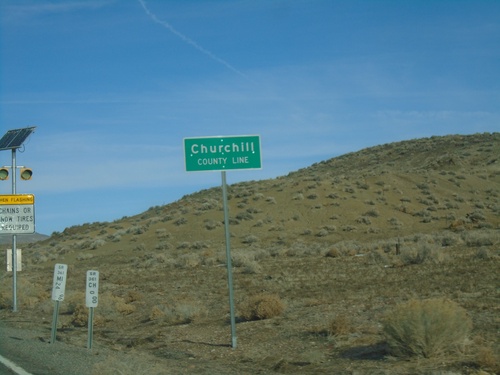
NV-361 North - Churchill County
Churchill County Line on NV-361 North. Milemarkers for both Mineral County and Churchill County are posted below the county line sign.
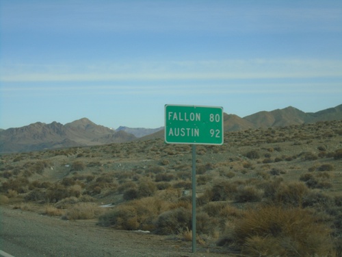
NV-361 North - Distance Marker
Distance marker on NV-361 north. Distance to Fallon (via US-50 West) and Austin (via US-50 East).
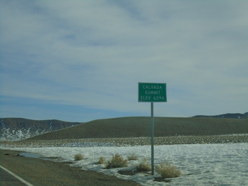
NV-361 North - Calvada Summit
Calvada Summit - Elevation 6296 Feet on NV-361 North. Calvada Summit is in the Gabbs Valley Range.
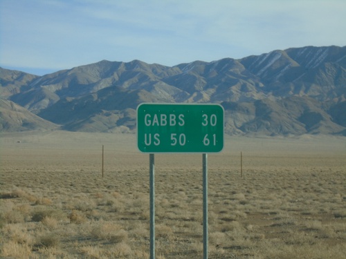
NV-361 North - Distance Marker
Distance marker on NV-361 north. Distance to Gabbs and US-50 (Middlegate Junction).
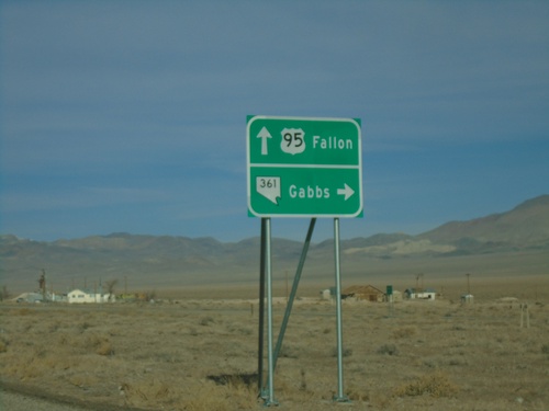
US-95 North Approaching NV-361
US-95 North approaching NV-361. Use NV-361 North for Gabbs. Continue north on US-95 for Fallon.
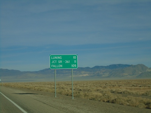
US-95 North - Distance Marker
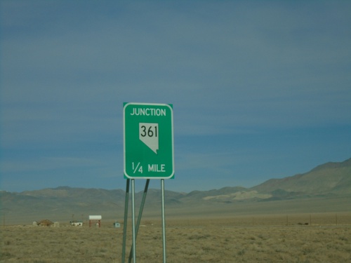
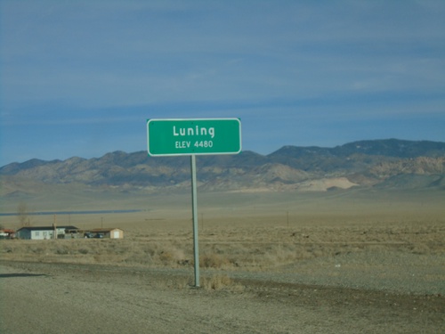
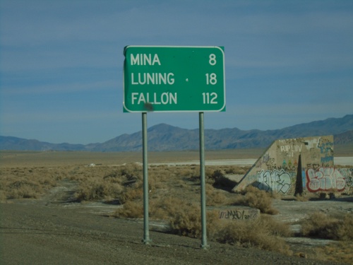
Distance marker on US-95 north. Distance to Luning, Jct. SR-361, and Fallon.
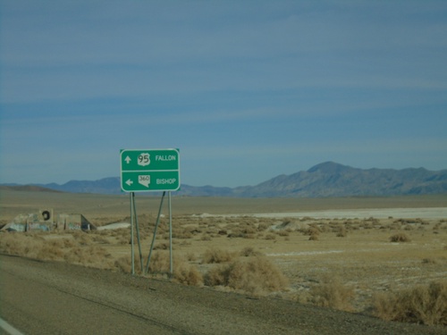
US-95 North Approaching NV-360
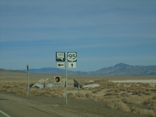
US-95 North approaching NV-360 in Mineral County. Use NV-360 West for Bishop (CA). Continue north on US-95 for Fallon.
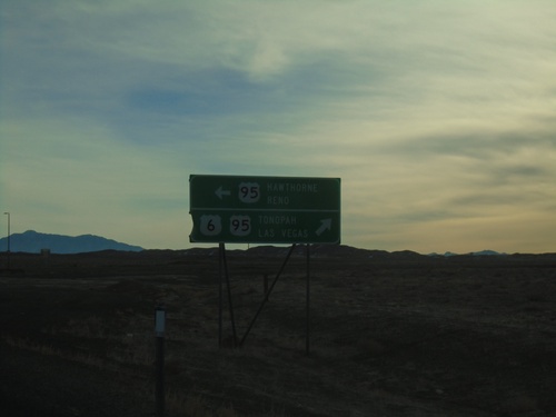
US-6 East at US-95
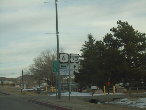
US-6 East at US-95 - Coaldale Junction. Turn left for US-95 North to Hawthorne and Reno; turn south on US-95 South/US-6 East to Tonopah and Las Vegas. US-6 east joins US-95 south to Tonopah.
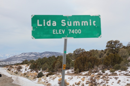
NV-266 West - Lida Summit
Lida Summit - Elevation 7400 Feet on NV-266 West. Lida Summit is located in the Palmetto Mountains.
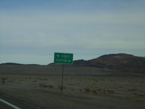
NV-264 North Approaching NV-773
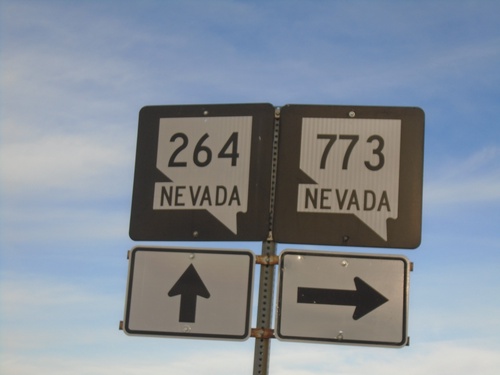
NV-264 North approaching NV-773 in Esmeralda County. Use NV-773 North for Tonopah; continue north on NV-264 for Bishop (California).
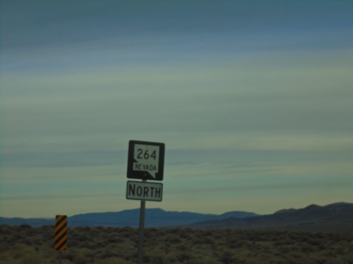
NV-264 North - Esmeralda County
NV-264 North in Esmeralda County. Taken just north of the California-Nevada State Line.
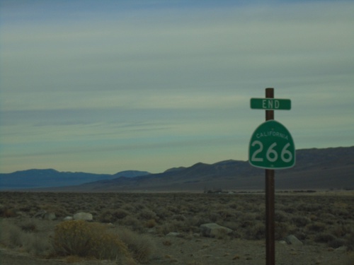
End CA-266 North
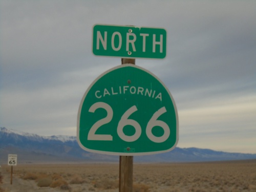
End CA-266 north at the California-Nevada State Line. CA-266 continues into Nevada as NV-264.
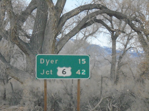
CA-266 North - Distance Marker
Distance marker on CA-266 north. Distance to Dyer (Nevada) and US-6 junction.
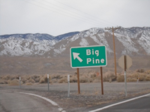
CA-266 North at CA-168 West
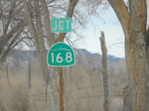
CA-266 North at CA-168 West to Big Pine. The White Mountains are in the background.
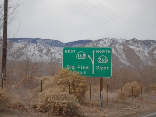
CA-266 North Approaching CA-168
CA-266 North approaching CA-168 in Mono County. Use CA-168 West to Big Pine; continue north on CA-266 for Dyer (Nevada).
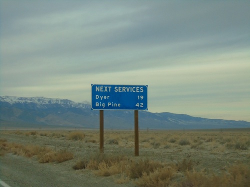
CA-266 North - Next Services
Distance to next services on CA-266 north. Dyer (Nevada) - 19 Miles. Big Pine (via CA-168) - 42 Miles.
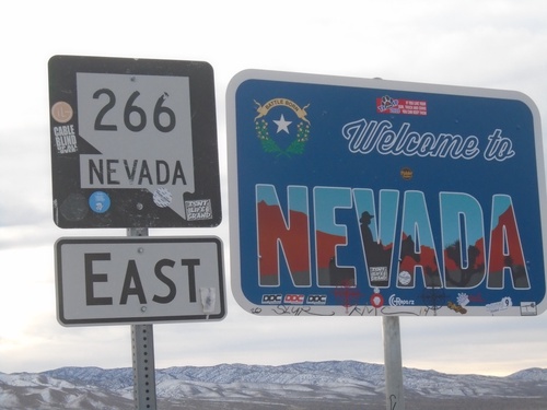
Welcome To Nevada - NV-266 East
Welcome To Nevada on NV-266 East. Taken at the California - Nevada State Line in the Fish Lake Valley.
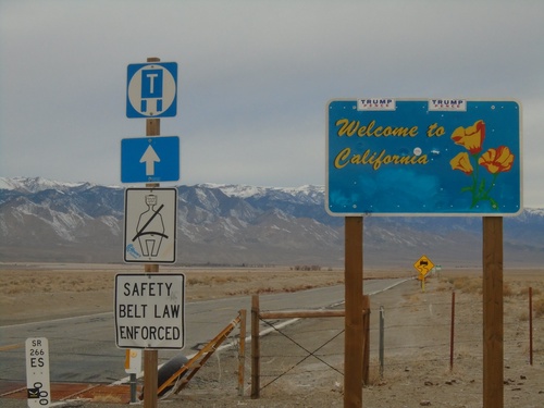
Welcome To California - CA-266 North
Welcome To California on CA-266 North. Taken at the Nevada-California State line. The mile marker for NV-266 is in the foreground. The state line is at the cattle guard.
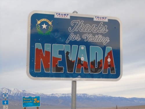
Thanks For Visiting Nevada - NV-266 West
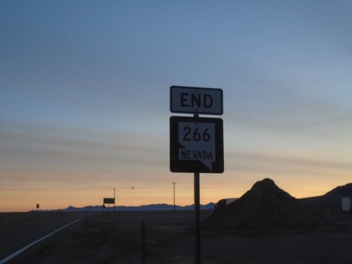
Thanks For Visiting Nevada at end of NV-266 West. The California welcome sign is visible in the background.
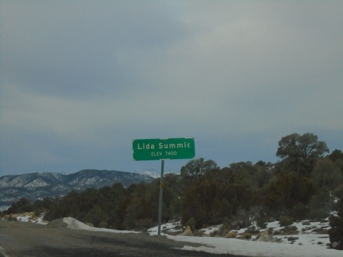
NV-266 West - Lida Summit
Lida Summit - Elevation 7400 Feet on NV-266 West. Lida Summit is located in the Palmetto Mountains.
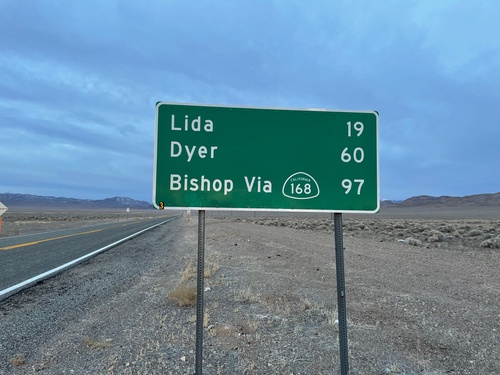
NV-266 West - Distance Marker
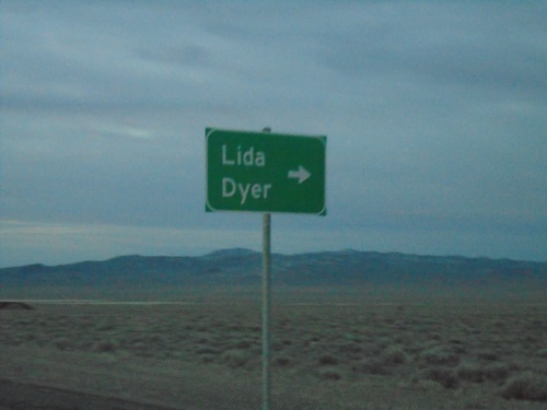
Distance marker on NV-266 west. Distance to Lida, Dyer, and Bishop (CA) via CA-168.
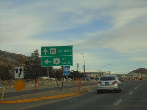
US-95 South/US-6 East at US-95/US-6 Split
US-95 South/US-6 East at US-95/US-6 split in Tonopah. Use US-6 East for Ely and Austin (via NV-376). Use US-95 South for Las Vegas.
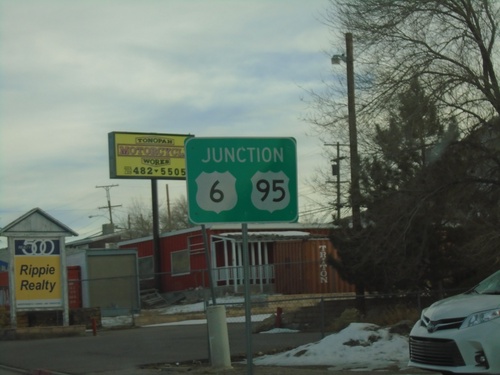
US-95 South/US-6 East Approaching US-95/US-6 Split
US-95 South/US-6 East approaching US-95/US-6 Split in Tonopah.
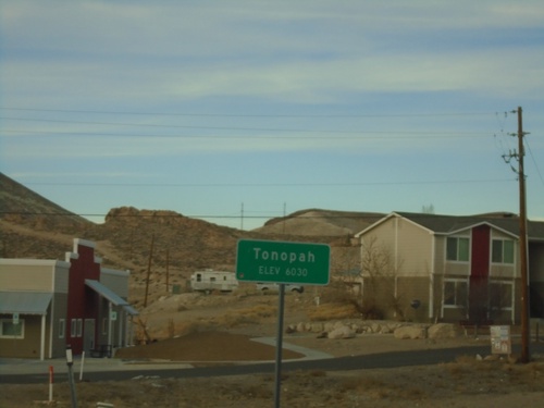
US-95 North - Tonopah
Entering Tonopah on US-95 North - Elevation 6030 Feet. Tonopah is the unincorporated county seat of Nye County.
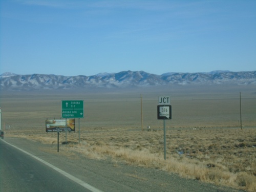
US-50 East Approaching NV-376
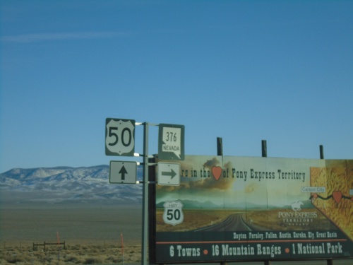
US-50 East approaching NV-376 south to Round Mountain and Tonopah. Continue east on US-50 for Eureka and Ely.
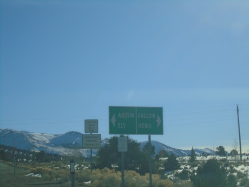
End NV-305 South at US-50
End NV-305 south at US-50. Use US-50 West to Reno and Fallon; US-50 east to Austin and Ely.
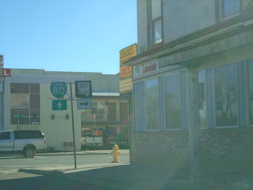
BL-80 East/NV-304 East (Front St.) at NV-305 (Broad St.)
BL-80 East/NV-304 East (Front St.) at NV-305 (Broad St.) in Battle Mountain.
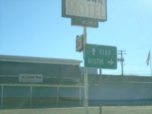
BL-80 East/NV-304 East at NV-305 South
BL-80 East/NV-304 East (Front St.) at NV-305 South (Broad St.) to Austin. Continue on BL-80/NV-304 for Elko.
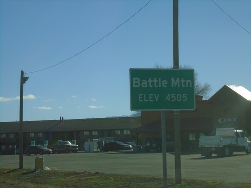
BL-80 East/NV-304 East - Entering Battle Mountain
Entering Battle Mountain (Elevation 4505 Feet) on BL-80 East/NV-304 East. Battle Mountain is the unincorporated county seat of Lander County Nevada.
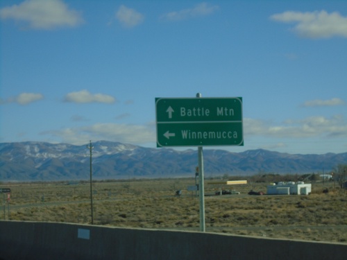
BL-80 East/NV-304 East at I-80 West
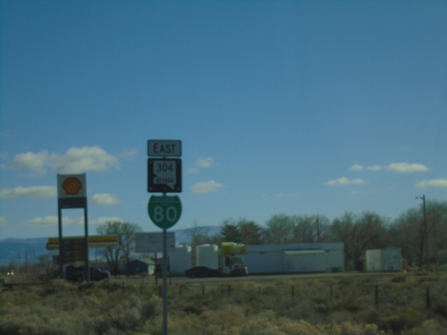
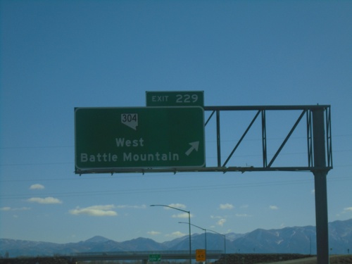
BL-80 East/NV-304 East at I-80 West (Exit 229) in Battle Mountain. Use I-80 west for Winnemucca; BL-80/NV-304 East for Battle Mountain. This is the western end of the Battle Mountain business loop.
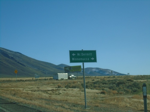
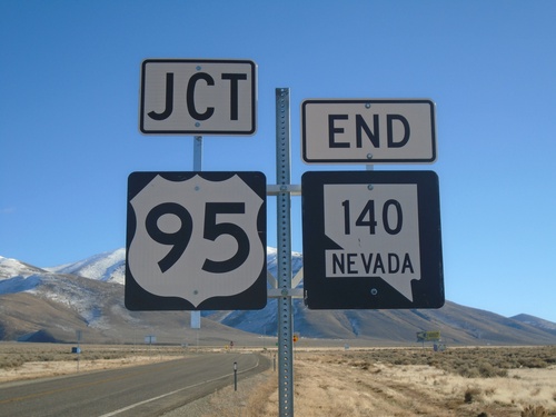
End NV-140 East at US-95
End NV-140 East at US-95. Use US-95 north for McDermitt; US-95 south for Winnemucca.
