Signs From April 2022
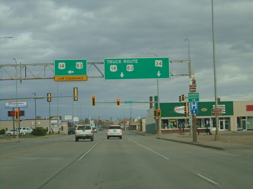
US-14/SD-34 East/US-83 North at US-14/US-83 Truck Route
US-14/SD-34 East/US-83 North (Sioux Ave.) at US-14/US-83 Truck Route (Pierre St.). Turn left on Pierre St. for US-14 East/US-83 North. Continue east on Sioux St. for SD-34/US-14 Truck/US-83 Truck. The truck route bypasses a low railroad bridge just north of this intersection.
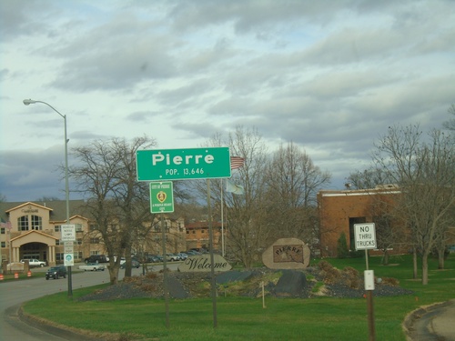
US-14/SD-34 East/US-83 North - Pierre
Entering Pierre on US-14/SD-34 East/US-83 North. Pierre is the capital of South Dakota and is the 9th largest city in the state. Pierre is pronounced PEER.
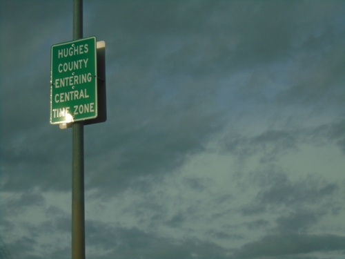
US-14/SD-34 East/US-83 North - Entering Hughes County/Central Time Zone
Entering Hughes County/Central Time Zone on US-14/SD-34 East/US-83 North. The county/time zone boundary is on the Missouri River bridge.
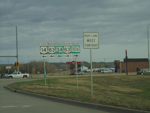
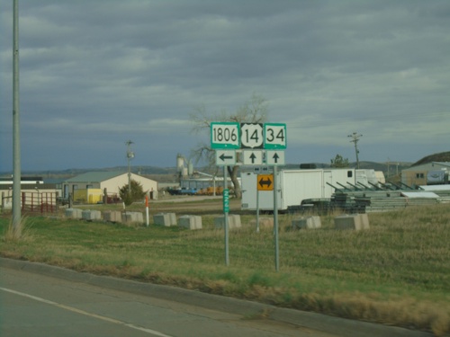
US-14/SD-34 East at US-83/SD-1806
US-14/SD-34 East at US-83/SD-1806 in Fort Pierre. Turn right for US-83 South/SD-1806 South. Turn left for US-83 North/US-14 East/SD-34 East. US-83 joins US-14/SD-34 East across the river into Pierre.
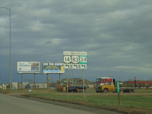
US-14/SD-34 East Approaching US-83
US-14/SD-34 East approaching US-83 in Fort Pierre. Turn left to continue east on US-14/SD-34 and for US-83 north. US-83 joins US-14/SD-34 across the Missouri River into Pierre.
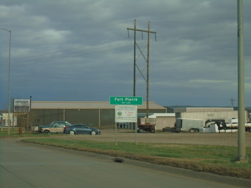
US-14/SD-34 East - Fort Pierre
Entering Fort Pierre on US-14/SD-34 East. Fort Pierre is the county seat of Stanley County, and is directly across the Missouri River from Pierre. Fort Pierre is also in Mountain Time, while across the river the city of Pierre is in Central Time.
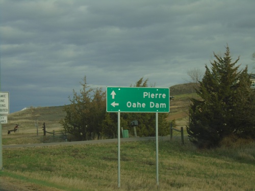
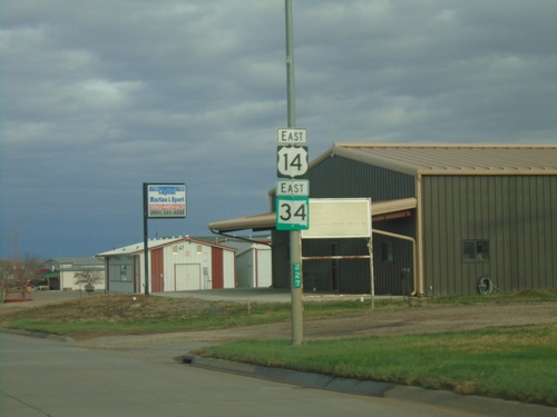
US-14/SD-34 East Approaching at SD-1806
US-14/SD-34 East approaching at SD-1806 North to Oahe Dam. Continue east on US-14/SD-34 to Pierre.
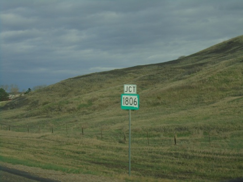
US-14/SD-34 East Approaching SD-1806
US-14/SD-34 East approaching SD-1806. SD-1806 is named for the year Lewis and Clark made their return journey through North and South Dakota.
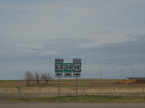
US-14 East/SD-63 North at SD-34
US-14 East/SD-63 North at SD-34 in Stanley County. Turn left for SD-34 West/SD-63 North; right for US-14/SD-34 East.
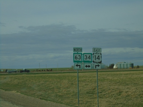
US-14 East/SD-63 North at SD-34
US-14 East/SD-63 North at SD-34 in Stanley County. SD-63 North joins SD-34 westbound; SD-34 east joins US-14 eastbound.
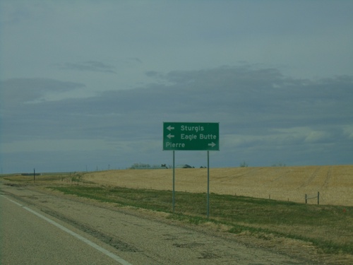
US-14 East/SD-63 North Approaching SD-34
US-14 East/SD-63 North approaching SD-34. Use US-14 East/SD-34 East to Pierre; SD-34 East/SD-64 north to Sturgis (via SD-34) and Eagle Butte (via SD-63).
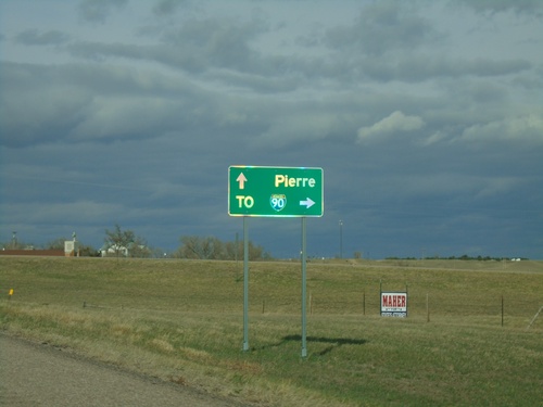
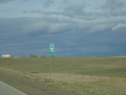
US-14 East at SD-63
US-14 East at SD-63 in Midland. Use SD-63 south to I-90 junction. Continue on US-14/SD-63 for Pierre. SD-63 north joins US-14 eastbound.
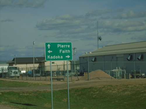
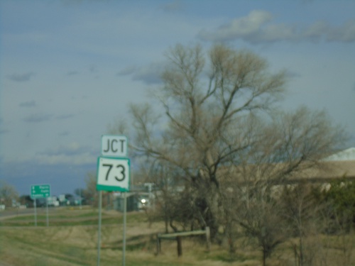
US-14 East at SD-73
US-14 East at SD-73 in Phillip. Use SD-73 south to Kadoka; SD-73 north to Faith. Continue east on US-14 for Pierre.
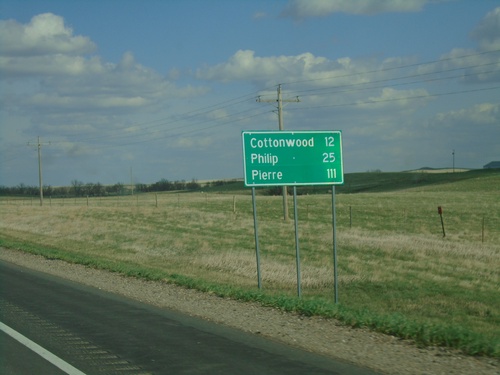
US-14 East - Distance Marker
Distance marker on US-14 east. Distance to Cottonwood, Phillip, and Pierre.
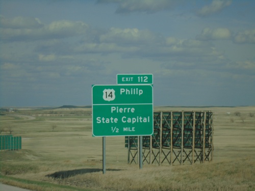
I-90 East - Exit 112
I-90 east approaching Exit 112 - US-14/Phillip/Pierre/State Capital. US-14 leaves I-90 eastbound here.
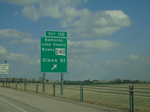
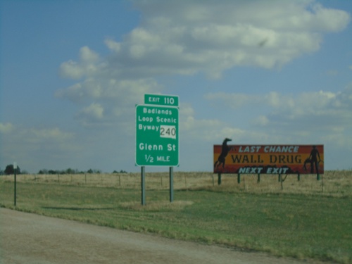
I-90 East - Exit 110
I-90 east at Exit 110 - SD-240/Badlands Loop Scenic Byway/Glenn St. This is the eastern end of the Wall business loop.
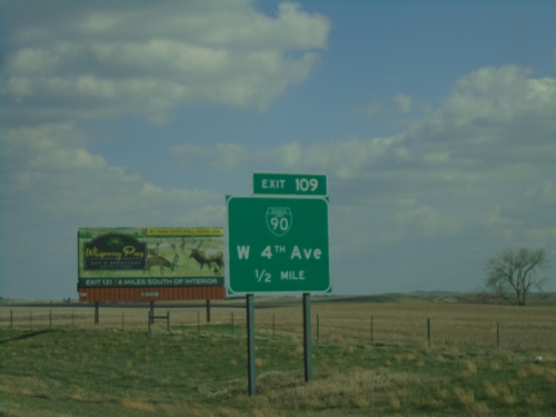
I-90 East - Exit 109
I-90 east approaching Exit 109 - BL-90/W 4th Ave. This is the western end of the Wall business loop.
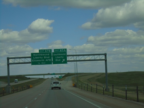
I-90 East - Exits 67A and 67B
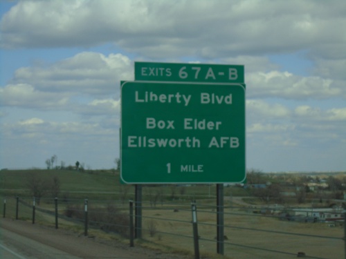
I-90 east at Exit 67A - Southbound Liberty Blvd. Approaching Exit 67B - Northbound Liberty Blvd./Ellsworth AFB.
I-90 East - Distance Marker
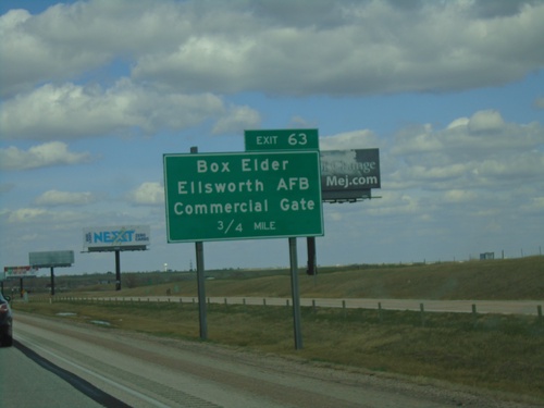
Distance marker on I-90 east. Distance to Box Elder, Ellsworth AFB, and Sioux Falls.
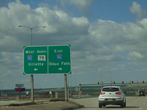
US-16 East Truck/SD-79 North at I-90/US-14
US-16 East Truck/SD-79 North at I-90/US-14 (Exit 61). Use I-90/US-14 West/SD-79 North to Gillette (Wyoming). Use I-90/US-14 East to Sioux Falls. SD-79 North joins I-90/US-14 West to Sturgis. This is the eastern end of US-16 Truck.
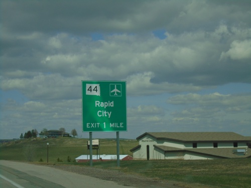
US-16 Truck East/SD-79 North Approaching SD-44
US-16 Truck East/SD-79 North approaching SD-44 to Rapid City.
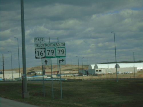
US-16 Truck East at SD-79
US-16 Truck East at SD-79 in Rapid City. SD-79 North joins US-16 Truck East to I-90.
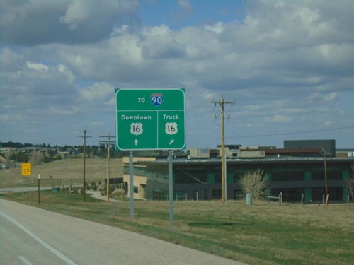
US-16 East Approaching US-16 Truck
US-16 East Approaching US-16 Truck in Rapid City. Use either US-16 or US-16 Truck for access to I-90.
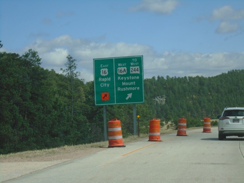
US-16 East at US-16A/To SD-244
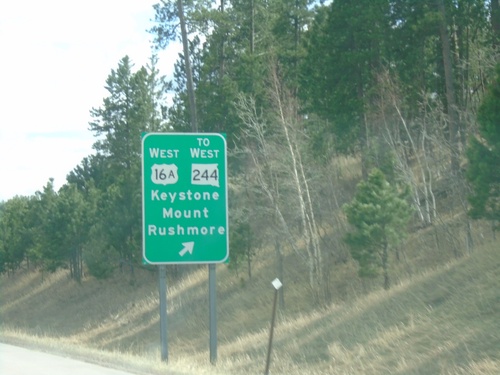
US-16 East at US-16A/To SD-244/Keystone/Mount Rushmore. Continue east on US-16 for Rapid City.
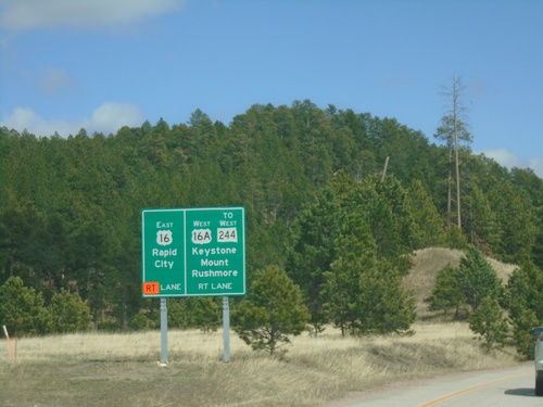
US-16 East Approaching US-16A/To SD-244
US-16 East Approaching US-16A/To SD-244 to Keystone and Mount Rushmore. Continue east on US-16 for Rapid City.
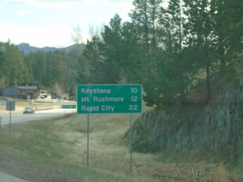
US-16 East - Distance Marker
Distance Marker on US-16 East. Distance to Keystone, Mount Rushmore, and Rapid City.
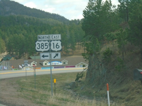
US-385 North/US-16 East at US-385/US-16 Split
US-385 North/US-16 East at US-385/US-16 split in Pennington County.
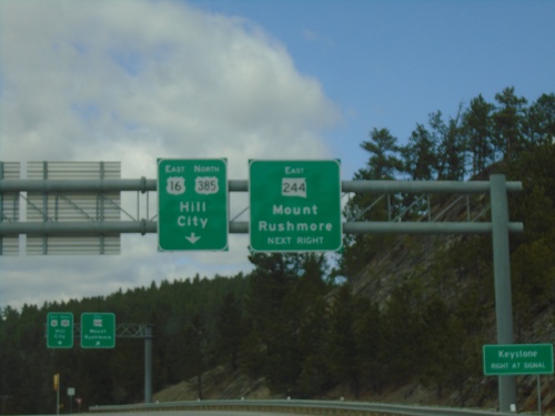
US-385 North/US-16 East at SD-244
US-385 North/US-16 East at SD-244 East to Mount Rushmore. Continue on US-385 North/US-16 East to Hill City.
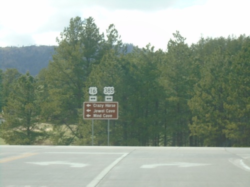
End SD-87 North at US-16/US-385
End SD-87 North at US-16/US-385. Use US-16 West/US-385 South to Crazy Horse, Jewel Cave, and Wind Cave.
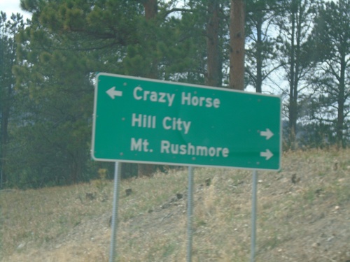
End SD-87 North at US-16/US-385
End SD-87 North at US-16/US-385 in Pennington County. Use US-16 East/US-385 North to Hill City and Mount Rushmore. Use US-16 West/US-385 South to Crazy Horse.
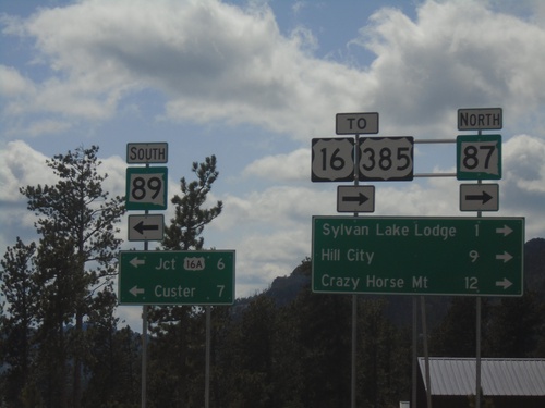
SD-87 North at SD-89
SD-87 North at SD-89 in Custer County. Use SD-89 South to Jct. US-16A and Custer. Use SD-87 North for US-16/US-385, Sylvan Lake Lodge, Hill City, and Crazy Horse Mountain.
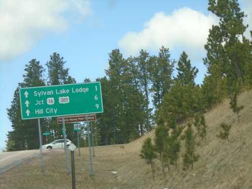
Distance Marker on SD-89 North Approaching SD-87
Distance Marker at end of SD-89 North approaching SD-87. Distance via SD-87 North to Sylvan Lake Lodge, Jct. US-16/US-385, and Hill City.
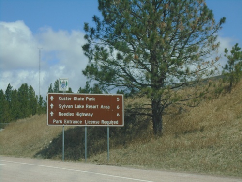
SD-89 North - Distance Marker
Distance marker on SD-89 (Sylvan Lake Road) North. Distance to Custer State Park, Sylvan Lake Resort Area, Needles Highway.
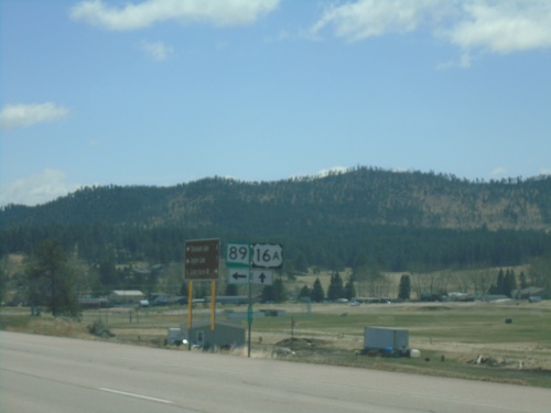
US-16A East/SD-89 North at US-16A/SD-89 Split
US-16A East/SD-89 North at US-16A/SD-89 Split in Custer.
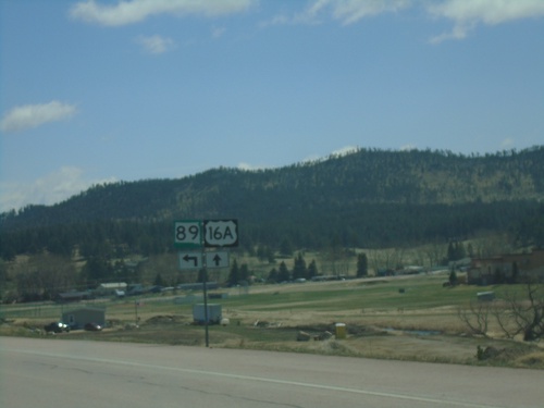
US-16A East/SD-89 North Approaching US-16A/SD-89 Split
US-16A East/SD-89 North approaching US-16A/SD-89 Split in Custer.
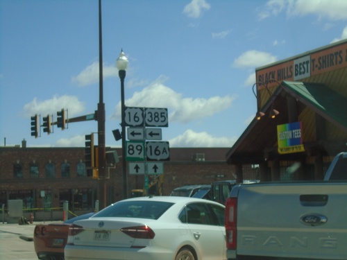
US-385 North/US-16 East/SD-89 North at US-16A
US-385 North/US-16 East/SD-89 North at US-16A in Custer. Turn left for US-385 North/US-16 East; continue straight for US-16A East/SD-89 North.
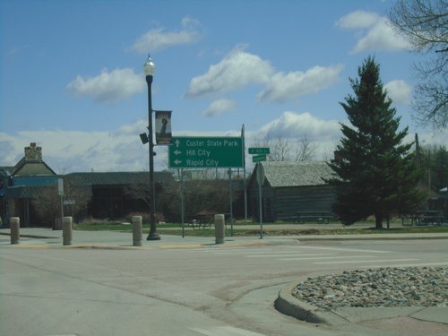
US-385/SD-89 North/US-16 East at US-16A
US-385/SD-89 North/US-16 East at US-16A in Custer. Use US-395 North/US-16 East to Hill City and Rapid City. Use US-16A East/SD-89 North to Custer State Park.
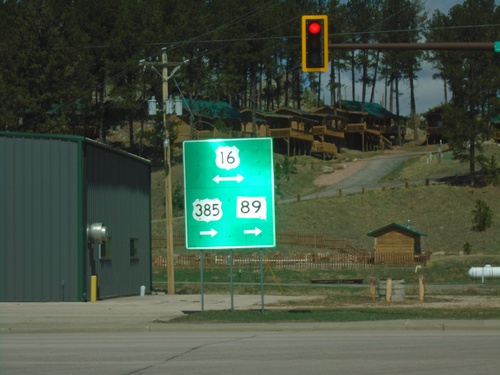
US-385/SD-89 North at US-16
US-385/SD-89 North at US-16 in Custer. US-385 north joins US-16 east through Hill City. SD-89 joins US-16 east through Custer.
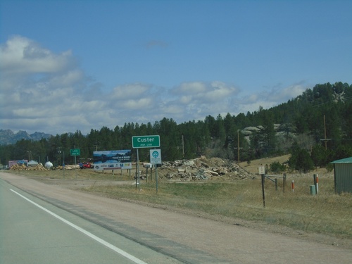
US-385/SD-89 North - Custer
Entering Custer on US-385/SD-89 North. Custer is the county seat of Custer County.
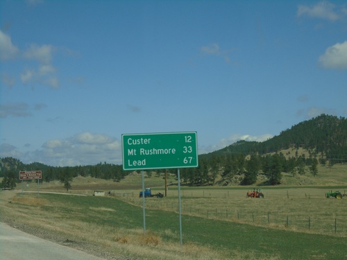
US-385/SD-89 North - Distance Marker
Distance marker on US-385/SD-89 North. Distance to Custer, Mount Rushmore, and Lead.
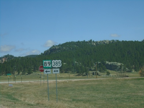
SD-89 North at US-385 - Pringle
SD-89 North at US-385 in Pringle. SD-89 joins US-385 north to Custer.
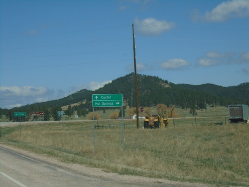
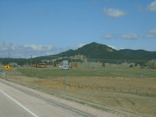
SD-89 North at US-385
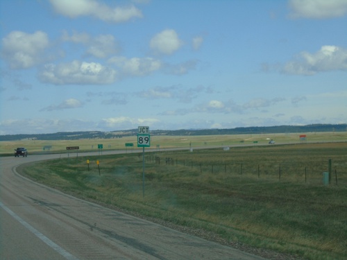
SD-89 North at US-385 in Pringle. Use US-385 south to Hot Springs; US-385/SD-89 North to Custer.
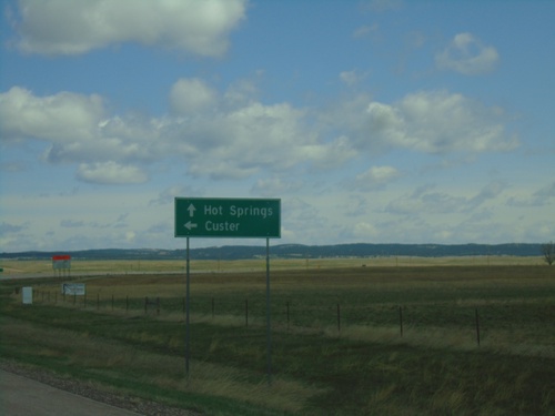
US-18 East at SD-89 North
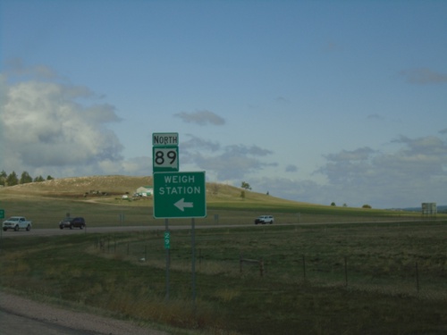
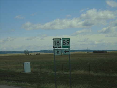
US-18 East at SD-89 North to Custer. Continue east on US-18 for Hot Springs.
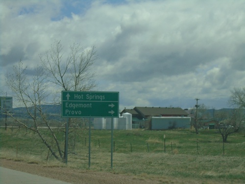
US-18 East Approaching SD-471
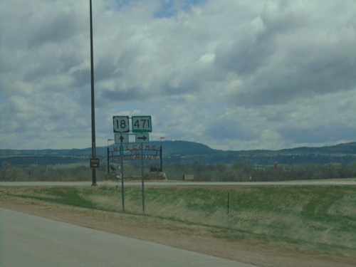
US-18 East approaching SD-471 south to Edgemont and Provo. Continue east on US-18 for Hot Springs.
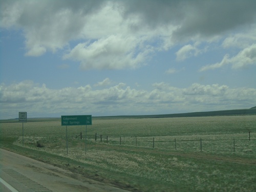
US-18 East - Distance Marker
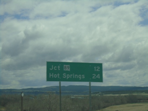
Distance marker on US-18 east. Distance to Edgemont and Hot Springs. This is the first distance marker on US-18 in South Dakota.
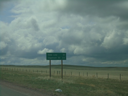
US-18 East - Distance Marker
Distance marker on US-18 east. Distance to State Line (South Dakota) and Edgemont SD.
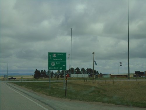
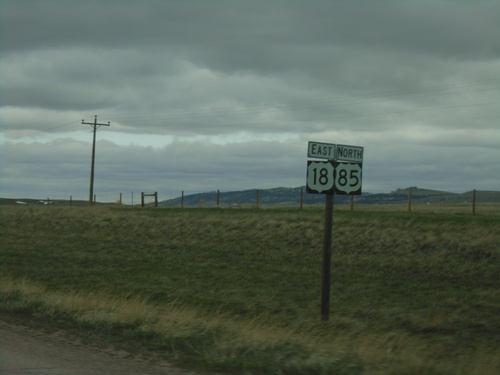
US-18 East/US-85 North - Mule Creek Junction
US-18 East/US-85 North at Mule Creek Junction. Turn right for US-18 East to Edgemont, SD. Continue north on US-85 for Newcastle.
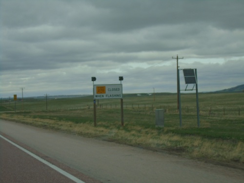
US-85 North/US-18 East Approaching WY-270
US-85 North/US-18 East approaching WY-270. WY-270 is closed when lights flashing.
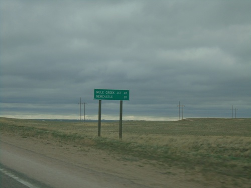
US-18 East/US-85 North - Distance Marker
Distance Marker on US-18 East/US-85 North. Distance to Mule Creek Junction and Newcastle.
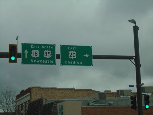
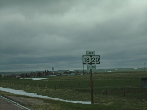
US-18/US-20 East/US-85 North at US-20
US-18/US-20 East/US-85 North at US-20 East in Lusk. Continue on US-85 North/US-18 East for Newcastle; turn right for US-20 east to Chadron (Nebraska).
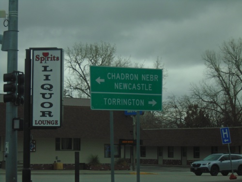
US-18/US-20 East at US-85
US-18/US-20 East at US-85 in Lusk. Use US-85 south to Torrington; US-85 North/US-20/US-18 East to Chadron, Nebraska (via US-20) and Newcastle (via US-85 North). US-85 joins US-20/US-18 East through Lusk.
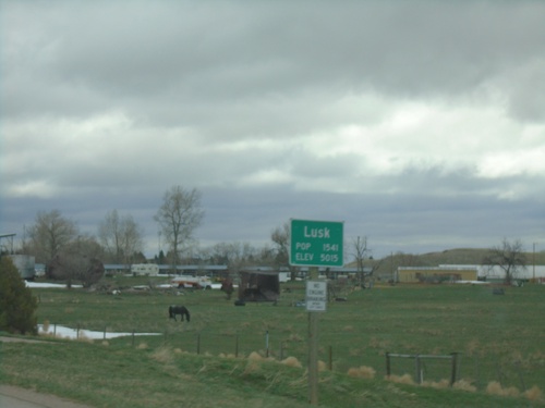
US-18/US-20 West - Lusk
Entering Lusk on US-18/US-20 West. Lusk is the county seat of Niobrara County.
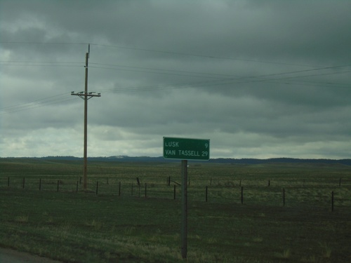
US-18/US-20 East - Distance Marker
Distance Marker on US-18/US-20 East. Distance to Lusk and Van Tassell (via US-20).
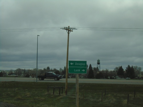
WY-270 North at US-18/US-20
WY-270 North at US-18/US-20 in Manville. Use US-18/US-20 East to Lusk; US-18/US-20 West to Douglas (via I-25).
WY-270 North - Niobrara County
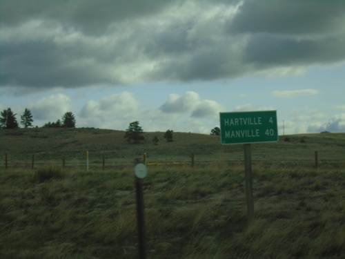
Entering Niobrara County on WY-270 North. Niobrara County is the smallest county by population in Wyoming.
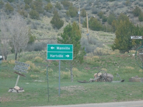
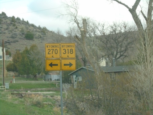
WY-270 North at WY-318
WY-270 North at WY-318 in Hartville. Turn right for WY-318 to Hartville; left to continue on WY-270 to Manville.
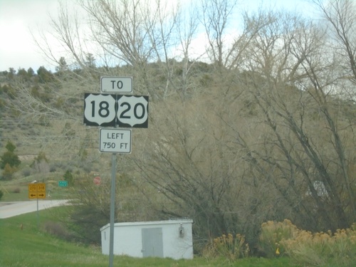
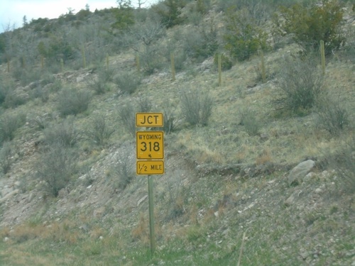
WY-270 North Approaching WY-318
WY-270 North approaching WY-318 in Hartville. Turn left to continue north on WY-318 to US-18/US-20.
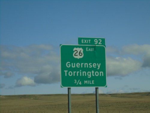
I-25 North - Exit 92
I-25 north approaching Exit 92 - US-26 East/Guernsey/Torrington. US-26 west joins I-25 north here.
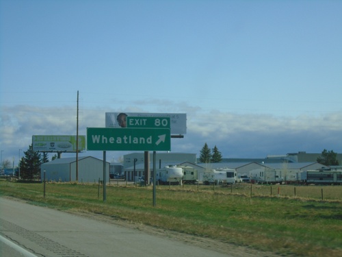
I-25 North - Exit 80
I-25 north at Exit 80 - Wheatland. This is the north end of the Wheatland business loop.
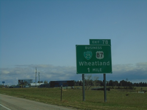
I-25 North - Exit 78
I-25 north approaching Exit 78 - BL-25/Bus. US-87/Wheatland. This is the southern end of the Wheatland business loop. Wheatland is the county seat of Platte County.
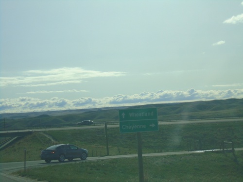
End WY-34 East at I-25
End WY-34 East at I-25 in Platte County. Use I-25 south to Cheyenne; I-25 north to Wheatland.
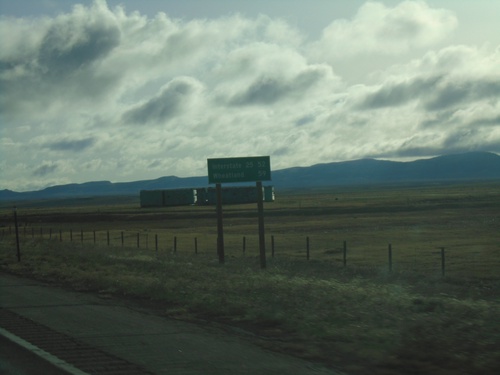
WY-34 East - Distance Marker
Distance marker on WY-34 east. Distance to I-25 and Wheatland (via I-25).
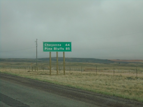
I-80 East - Distance Marker
Distance marker on I-80 east. Distance to Cheyenne and Pine Bluffs. Pine Bluffs is on the border with Nebraska.
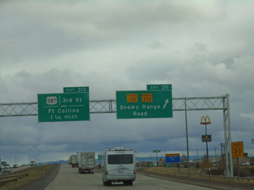
I-80 East - Exits 311 and 313
I-80 East at Exit 311 - WY-130/WY-230/Snowy Range Road. Approaching Exit 313 - US-287/3rd St./Fort Collins (Colorado).
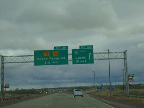
I-80 East - Exits 310 and 311
I-80 east at Exit 310 - BL-80/Curtis St. Approaching Exit 311 - WY-130/WY-230/Snowy Range Road.
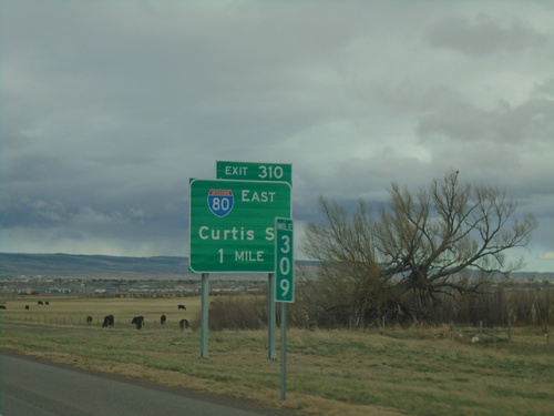
I-80 East - Exit 310
I-80 East approaching Exit 310 - BL-80/Curtis St. This is the western end of the Laramie business loop. The BL-80 shield is incorrectly displayed as an interstate shield.
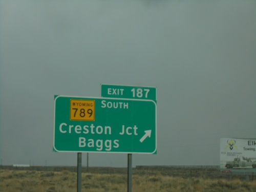
I-80 East - Exit 187
I-80 East at Exit 187 - WY-789 South/Creston Jct/Baggs. WY-789 north joins I-80/US-30 east to Rawlins.
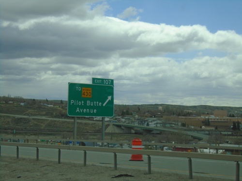
I-80 East - Exit 107
I-80 east approaching Exit 107 - To WY-430/Pilot Butte Ave. This is the eastern end of the Rock Springs business loop.
