Signs From May 2022
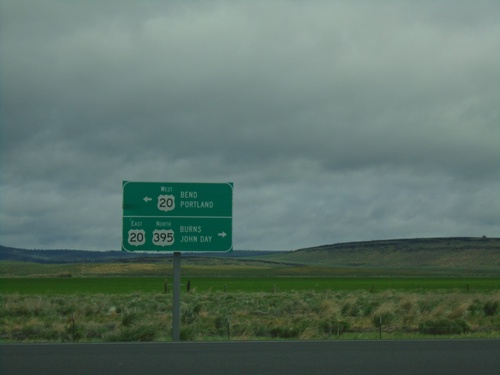
US-395 North at US-20 - Riley
US-395 North at US-20 in Riley. Use US-20 West to Bend and Portland; use US-395 North/US-20 East to Burns and John Day. US-395 North joins US-20 East to Burns.
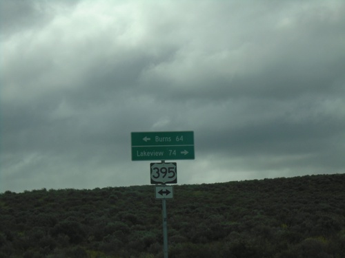
End Christmas Valley Highway at US-395
End Christmas Valley Highway at US-395 in Lake County. Use US-395 South to Lakeview; US-395 North to Burns.
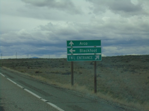
US-20 West Approaching US-26
US-20 West approaching US-26 in Butte County. Turn right for entrance to Idaho National Laboratory. Continue straight for Arco via US-20/US-26; left for US-26 East to Blackfoot.
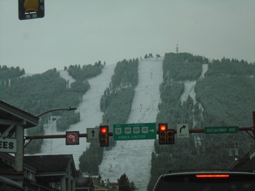
US-26 West/US-89 South/US-191 South - Jackson
Cache Drive at Broadway in Jackson. Turn right on Broadway to continue on US-26 West/US-89 South/US-191 South/US-189 South to Hoback Junction. This is the beginning of US-189 southbound.
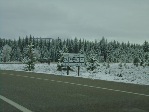
US-26 West/US-287 North at US-191/US-89 - Moran Junction
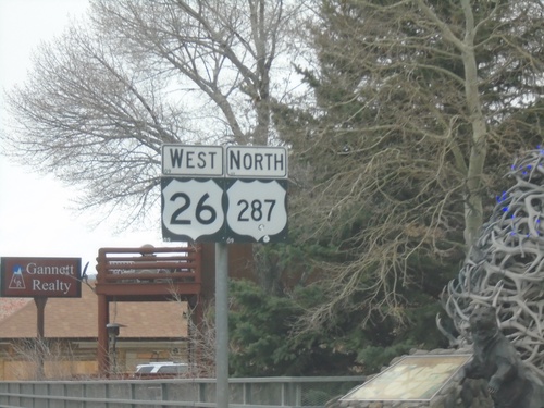
US-26 West/US-287 North at US-191/US-89 at Moran Junction. Turn right for US-89/US-191/US-287 North; straight for US-26 West/US-89 South/US-191 South.
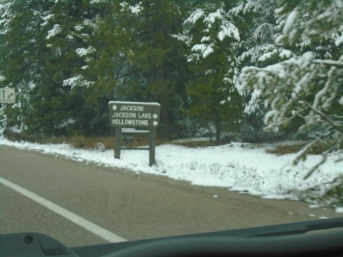
US-26 West/US-287 North Approaching US-89/US-191 at Moran Junction
US-26 West/US-287 North Approaching US-89/US-191 at Moran Junction. Turn right for US-89/US-191/US-287 North to Yellowstone and Jackson Lake. Continue straight for US-26 West/US-191 South/US-89 South to Jackson.
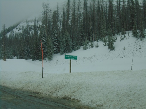
US-26 West/US-287 North - Togwotee Pass
Togwotee Pass on US-26 West/US-287 North. Elevation 9544 Feet. Togwotee Pass is on the Continental Divide.
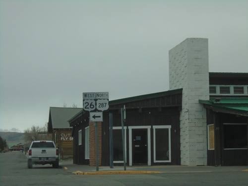
US-287 North/US-26 West - Dubois
US-287 North/US-26 West in Dubois. Turn left to continue on US-287 North/US-26 West.
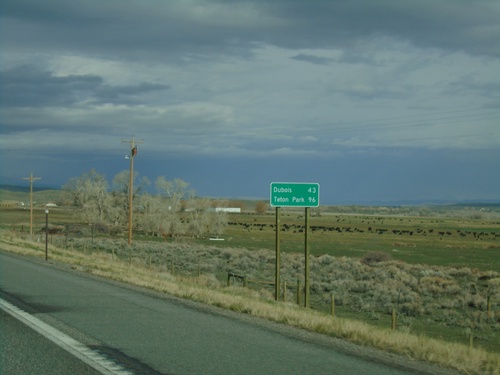
US-26 West/US-287 North - Distance Marker
Distance marker on US-26 West/US-287 North. Distance to Dubois and Teton Park.
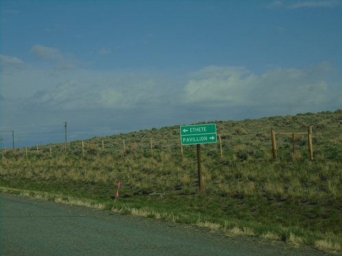
US-26 West at WY-132/WY-133
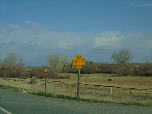
US-26 West at WY-132/WY-133 junction. Use WY-133 to Pavillion; use WY-132 to Ethete.
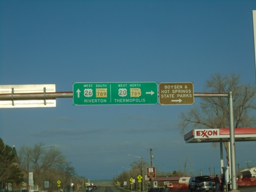
US-20/US-26 West at WY-789 - Shoshoni
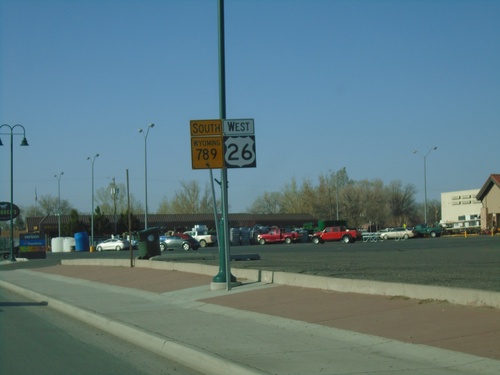
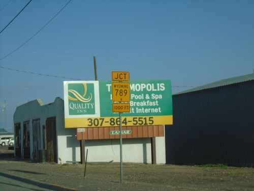
US-20/US-26 West at WY-789 in Shoshoni. Turn right for US-20 West/WY-789 North to Thermopolis, Boysen State Park, and Hot Springs State Park. Continue straight for US-26 West/WY-789 South to Riverton.
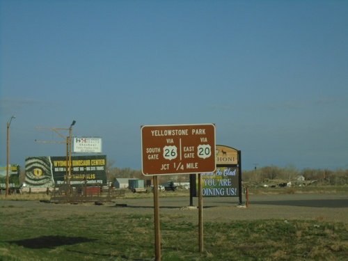
US-20/US-26 West - Yellowstone Park
US-20/US-26 West approaching US-20/US-26 split and WY-789. Use US-20 West for Yellowstone East Gate. Use US-26 West for Yellowstone South Gate.
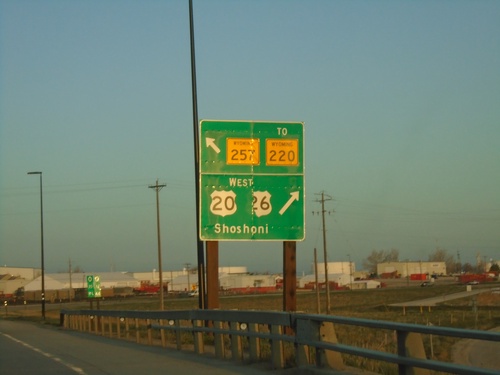
US-20/US-26 West at WY-257/To WY-220
US-20/US-26 West at WY-257/To WY-220 (Casper West Belt Loop) and Bus. US-20/Bus. US-26 (not signed). Turn right to continue west on US-20/US-26 to Shoshoni.
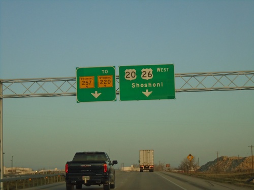
US-20/US-26 West at WY-257/To WY-220 and Bus. US-20/Bus. US-26
US-20/US-26 West at WY-257/To WY-220 and Bus. US-20/Bus. US-26 (not marked) in Casper. Use right lane to continue west on US-20/US-26 to Shoshoni. Continue straight for WY-257/To WY-220 which is the Casper West Belt Route.
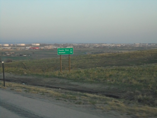
US-20/US-26 West - Distance Marker
Distance marker on US-20/US-26 West. Distance to Powder River and Shoshoni.
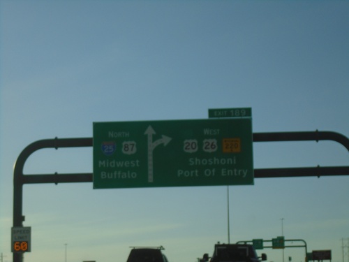
I-25 North - Exit 189
I-25 north at Exit 189 - US-20/US-26 West/To WY-220/Shoshoni/Port of Entry. Continue north on I-25/US-87 to Midwest and Buffalo. US-20/US-26 West leave I-25 northbound.
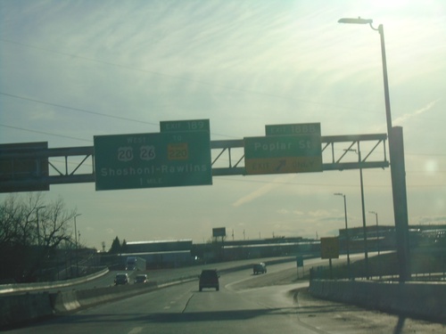
I-25 North - Exits 188B and 189
I-25 North at Exit 188B - Poplar St (WY-220). Approaching Exit 189 - US-20/US-26 West/To WY-220/Rawlins - Shoshoni. WY-220 is routed along Poplar St. but through traffic on WY-220, towards Rawlins, is encouraged to use Exit 189 and to follow US-20/US-26 and the West Casper Belt Route to bypass downtown Casper.
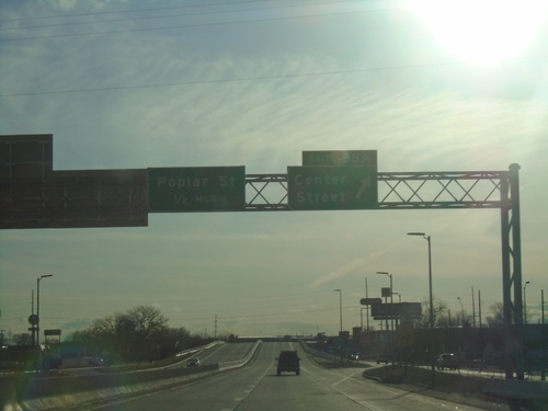
I-25 North - Exits 188A and 188B
I-25 north at Exit 188A - Center St (BL-25/Bus. US-87). Approaching Exit 188B - Poplar St (WY-220). Poplar Street used to have the WY-220 shield on the exit, until the eastern Casper bypass was completed. WY-220 traffic is encouraged to continue north on I-25 to Exit 189 and to follow US-20/US-26 and WY-257.
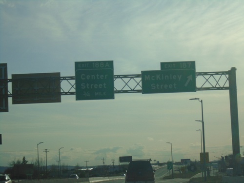
I-25 North - Exits 187 and 188A
I-25 north at Exit 187 - McKinley Street. Approaching Exit 188 - Center St.
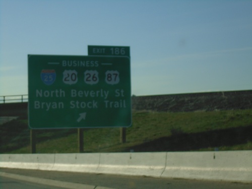
I-25 North - Exit 186
I-25 north at Exit 186 - BL-25/Bus. US-20/Bus. US-26/Bus. US-87/North Beverly Street/Bryan Stock Trail. US-20/US-26/US-87 join I-25 northbound. This is the southern end of the Casper business loop. The BL-25 shield has mistakenly been replaced with an I-25 shield.
I-25 North - Exit 185
I-25 north approaching Exit 185 - Wyoming Blvd./Evansville. Wyoming Blvd. acts as a beltway around the the eastern, southern, and western parts of Casper. Wyoming Blvd. is signed as WY-258.
I-25 North - Exit 182
I-25 north at Exit 182 - Brooks/Hat Six Road. This is the first exit northbound of the Casper metropolitan area.
I-25 North - Distance Marker
Distance marker on I-25 north. Distance to Casper and Sheridan (via I-90).
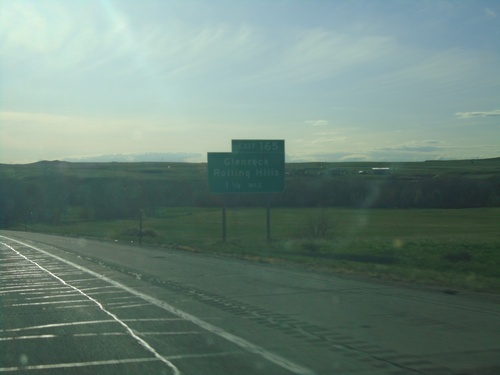
I-25 North - Exit 165
I-25 north approaching Exit 165 - Glenrock/Rolling Hills. This is the northern end of the Glenrock business loop.
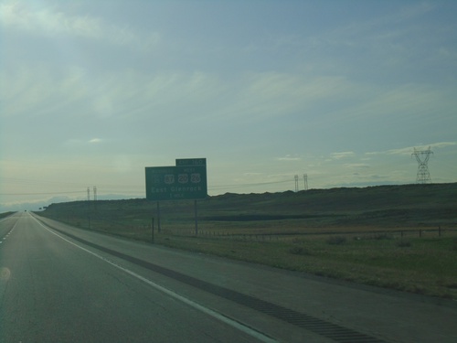
I-25 North - Exit 160
I-25 north approaching Exit 160 - BL-25/US-87 North/US-20/US-26 West/Glenrock. This is the southern end of the Glenrock business loop. US-20, US-26, and US-87 leave I-25 northbound here.
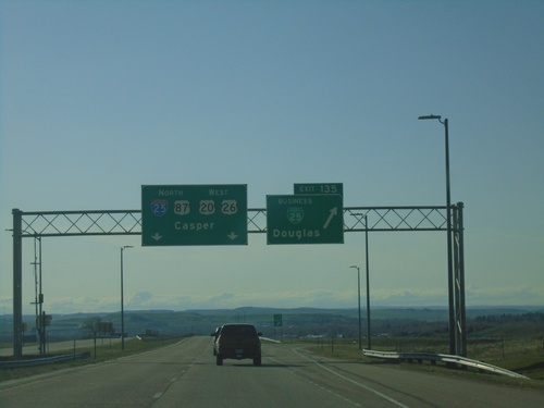
I-25 North - Exit 135
I-25 north at Exit 135 - BL-25/Douglas. Continue on I-25/US-87 North/US-20/US-26 West to Casper.
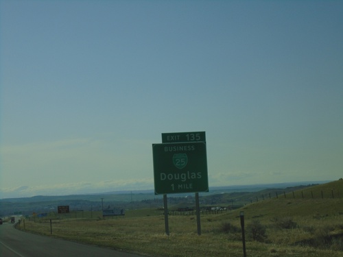
I-25 North - Exit 135
I-25 north approaching Exit 135 - BL-25/Douglas. This is the south end of the Douglas business loop.
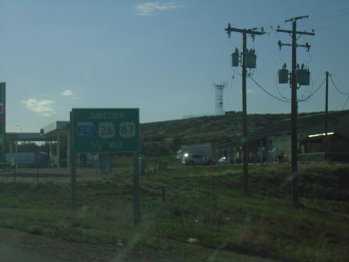
US-18/US-20 East Approaching I-25/US-26/US-87
US-18/US-20 East approaching I-25/US-26/US-87 at Orin Junction. US-20 west joins I-25/US-87 North/US-26 West to Glenrock. US-18 ends here.
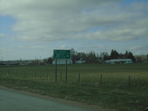
US-20 West/US-18 West at WY-270
US-20 West/US-18 West at WY-270. Use WY-270 north to Lance Creek and Manville. Use WY-270 south to Guernsey.
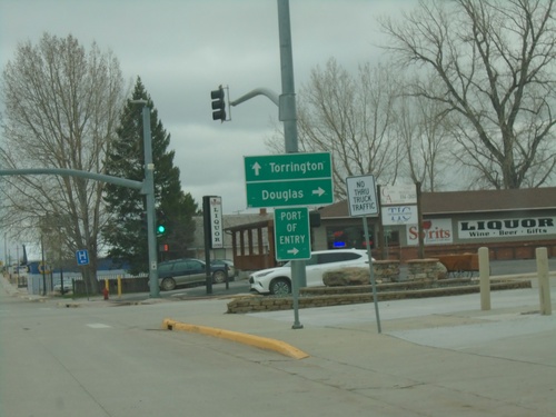
US-18 West/US-20 West/US-85 South at US-18/US-20 Junction
US-18 West/US-20 West/US-85 South at US-18/US-20 junction in Lusk. Turn right for US-18 West/US-20 West to Douglas. Continue south on US-85 for Torrington.
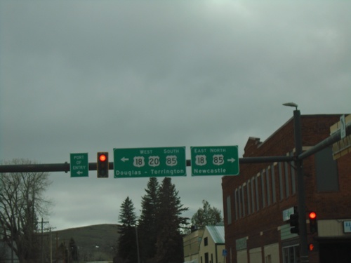
US-20 West at US-18/US-85 - Lusk
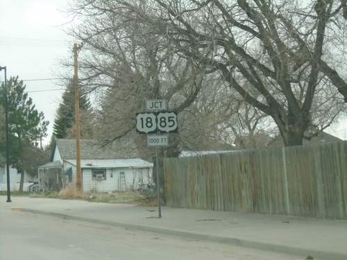
US-20 West at US-18/US-85 in Lusk. Use US-18 East/US-85 North to Newcastle. Use US-20 West/US-18-West/US-85 South to Douglas (via US-18/US-20) and Torrington (via US-85).
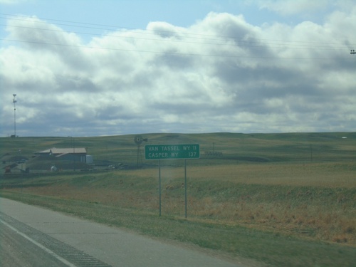
US-20 West - Distance Marker
Distance marker on US-20 west. Distance to Van Tassel, WY and Casper, WY. This is the last distance marker on US-20 westbound in Nebraska.
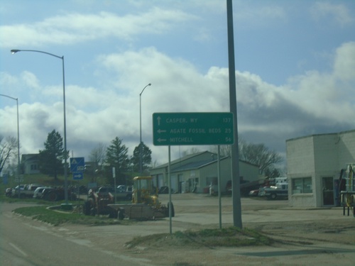
US-20 West Approaching NE-29
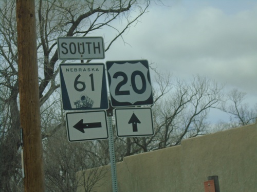
US-20 West approaching NE-29 in Harrison. Use US-20 West to Casper, WY. South NE-29 South for Agate Fossil Beds and Mitchell. This is the first appearance of Casper, WY on a distance marker or junction along US-20 in Nebraska.
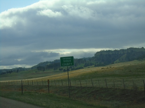
US-20 West - Sioux County
Entering Sioux County on US-20 west. Sioux County is in the northwest corner of Nebraska.
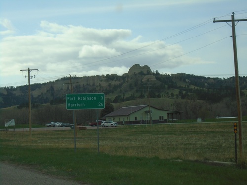
US-20 West - Distance Marker
Distance marker on US-20 west. Distance to Fort Robinson and Harrison. The Red Cloud Buttes are in the background.
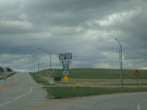
US-20 West/NE-71 South/NE-2 East at NE-71/NE-2
US-20 West/NE-71 South/NE-2 East at NE-71/NE-2 in Crawford.
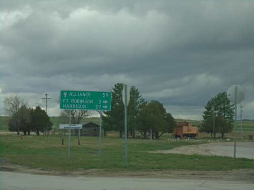
US-20 West/NE-71 South/NE-2 East at NE-71/NE-2
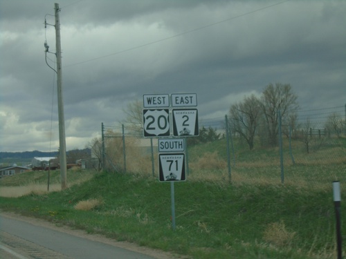
US-20 West/NE-71 South/NE-2 East at NE-71/NE-2 in Crawford. Use NE-71 South/NE-2 East to Alliance; use US-20 West for Fort Robinson and Harrison.
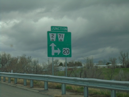
US-20 West/NE-2 East/NE-71 South at NE-2/NE-71
US-20 West/NE-2 East/NE-71 South at NE-2/NE-71 in Crawford.
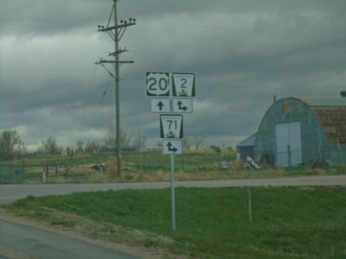
US-20 West at NE-2/NE-71
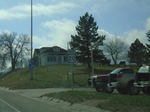
US-20 West at NE-2/NE-71 in Crawford. NE-2 East/NE-71 South joins US-20 through Crawford.
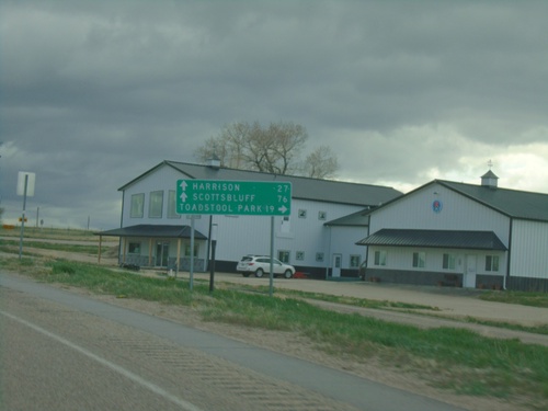
US-20 West Approaching NE-2/NE-71
US-20 West approaching NE-2/NE-71 in Crawford. Use NE-2 West/NE-71 South to Toadstool Park. Continue on US-20 West/NE-2 East/NE-71 South to Harrison (via US-20), and Scotts Bluff (via NE-71/NE-2).
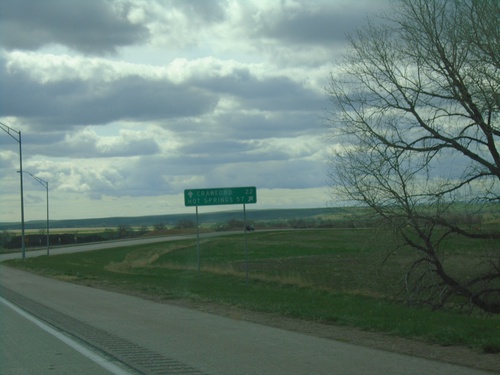
US-20 West/US-385 North at US-20/US-385 Split
US-20 West/US-385 North at US-20/US-385 split in Dawes County. Use US-385 North to Hot Springs, SD; continue west on US-20 for Crawford.
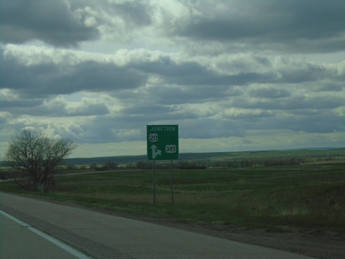
US-20 West/US-385 North Approaching US-20/US-385 Split
US-20 West/US-385 North approaching US-20/US-385 split in Dawes County.
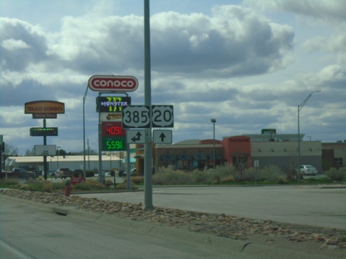
US-20 West at US-385 - Chadron
US-20 West at US-385 in Chadron. US-385 North joins US-20 west through Chadron.
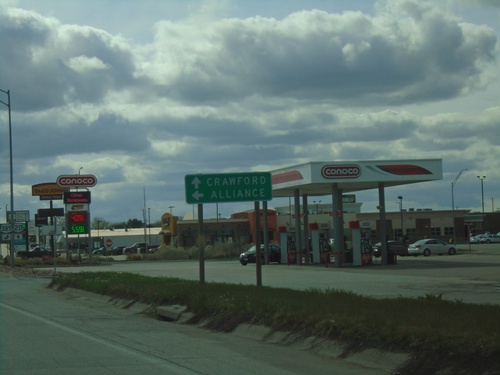
US-20 West Approaching US-385 South to Alliance
US-20 West approaching US-385 South to Alliance. Continue on US-20 west to Crawford. US-385 North joins US-20 westbound.
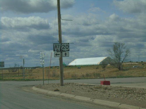
US-20 West/NE-87 South at US-20/NE-87 Split
US-20 West/NE-87 South at US-20/NE-87 split in Hay Springs.
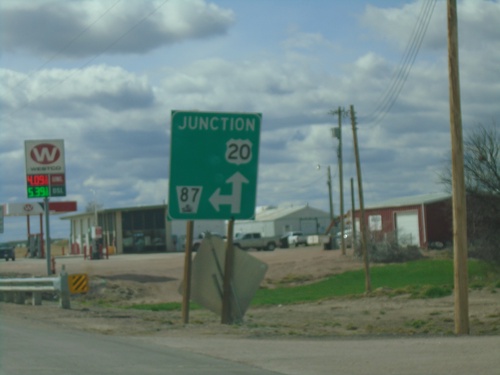
US-20 West/NE-87 South at US-20/NE-87 Split
US-20 West/NE-87 South at US-20/NE-87 split in Hay Springs.
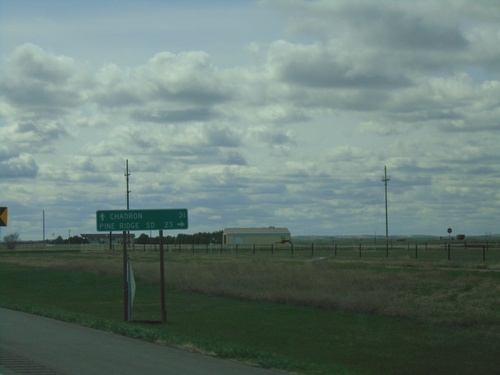
US-20 West at NE-87
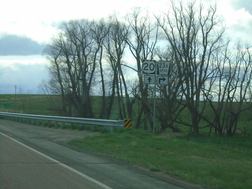
US-20 West at NE-87 in Sheridan County. Use NE-87 North to Pine Ridge, SD. Continue west on US-20 to Chadron. NE-87 South joins US-20 West to Hay Springs.
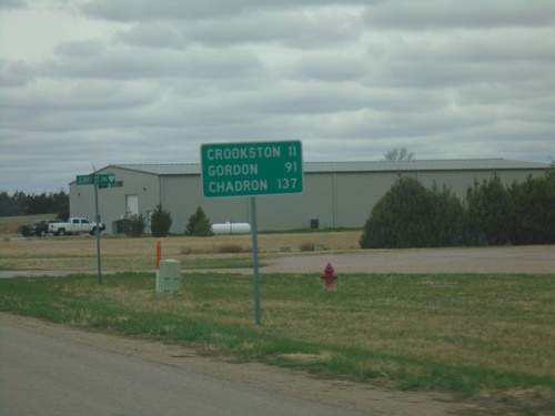
US-20 West - Distance Marker
Distance marker on US-20 west. Distance to Crookston, Gordon, and Chadron.
US-20 West/US-83 North - Valentine
Entering Valentine on US-20 West/US-83 North. Valentine is the county seat of Cherry County.
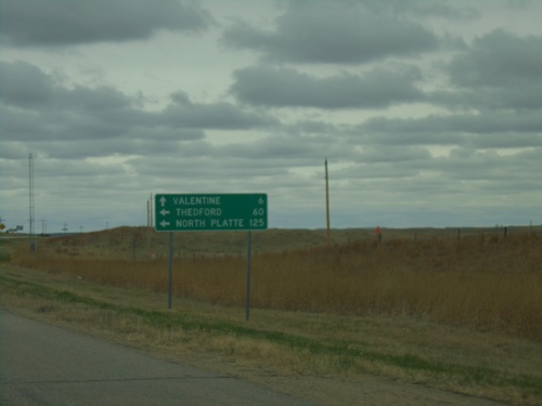
US-20 West at US-83
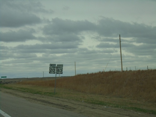
US-20 West at US-83 in Cherry County. Use US-83 south to North Platte and Thedford. Continue on US-20 West/US-83 North to Valentine.
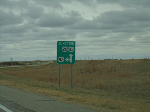
US-20 West Approaching US-83
US-20 West approaching US-83 in Cherry County. US-83 North joins US-20 West to Valentine.
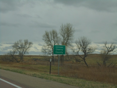
US-20 West - Cherry County
Entering Cherry County on US-20 West. Cherry County is the largest county by area in Nebraska.
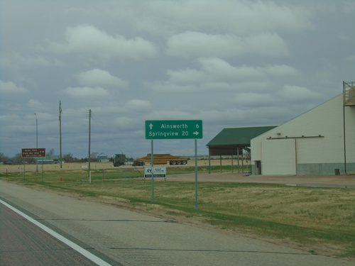
US-20 West/US-183 North/NE-7 South at US-183 North
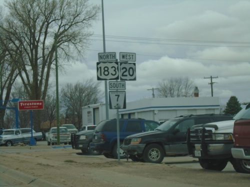
US-20 West/US-183 North/NE-7 South at US-183 North in Brown County. Use US-183 North to Springview. Continue on US-20 West/NE-7 South to Ainsworth.
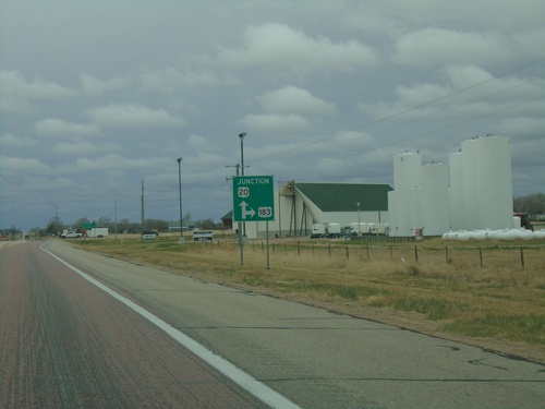
US-20 West/US-183 North/NE-7 South at at US-183 North
US-20 West/US-183 North/NE-7 South at at US-183 North in Brown County.
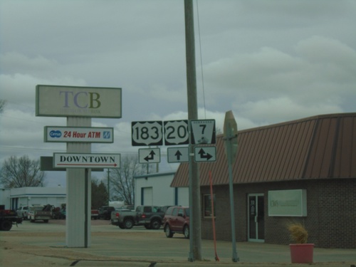
US-20 West at US-183/NE-7
US-20 West at US-183 and NE-7 in Bassett. Turn right for NE-7 North; left for US-183 South. US-183 North and NE-7 South joins US-20 westbound.
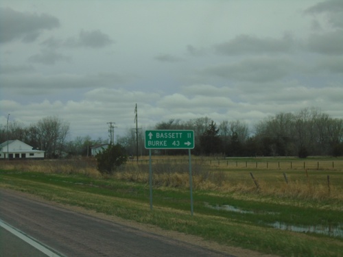
US-20 West at NE-137 North
US-20 West at NE-137 North to Burke (South Dakota). Continue west on US-20 to Bassett.
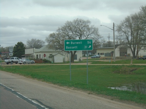
US-20 West at NE-11 - Atkinson
US-20 West at NE-11 in Atkinson. Use NE-11 South to Burwell. Continue west on US-20 to Bassett. NE-11 North joins US-20 west through Atkinson.
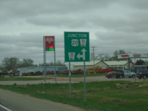
US-20 West Approaching NE-11
US-20 West approaching NE-11 in Atkinson. NE-11 North joins US-20 West through Atkinson.
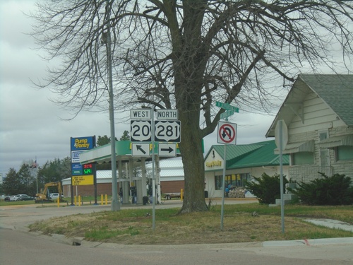
US-20 West/US-281 North at US-20/US-281 Split
US-20 West/US-281 North at US-20/US-281 split in O’Neill.
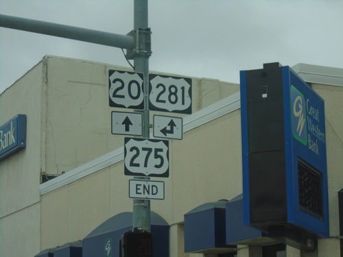
US-20 West/End US-275 West at US-281
US-20 West/End US-275 West at US-281 in O’Neill. US-281 North joins US-20 West through O’Neill.
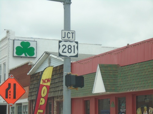
US-20/US-275 West Approaching US-281
US-20/US-275 West approaching US-281 in O’Neill. This is the western terminus of US-275.
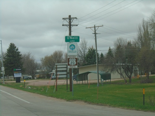
US-20/US-275 West - O'Neill
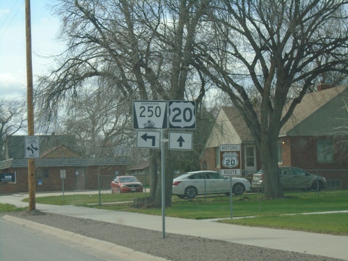
Entering O’Neill on US-20/US-275 West. O’Neill is the county seat of Holt County. A historic US-20 route marker is also displayed below the city limit sign. This marker is seen along US-20 in central and western Nebraska.
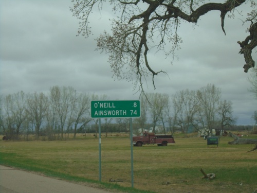
US-20/US-275 West - Distance Marker
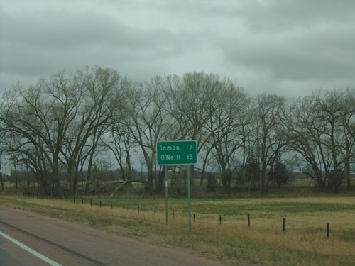
Distance Marker on US-20/US-275 West. Distance to O’Neill and Ainsworth. O’Neill has been the control city from Sioux City, Iowa on US-20 westbound. Ainsworth is the control city west from O’Neill to Ainsworth.
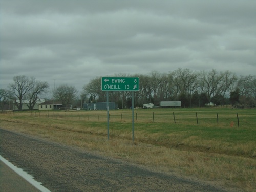
US-20 West Approaching US-275
US-20 West approaching US-275 in Holt County. Use US-275 East to Ewing; use US-20/US-275 West to O’Neill.
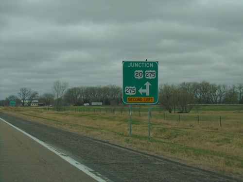
US-20 West Approaching US-275
US-20 West approaching US-275 in Holt County. US-275 West joins US-20 west to O’Neill.
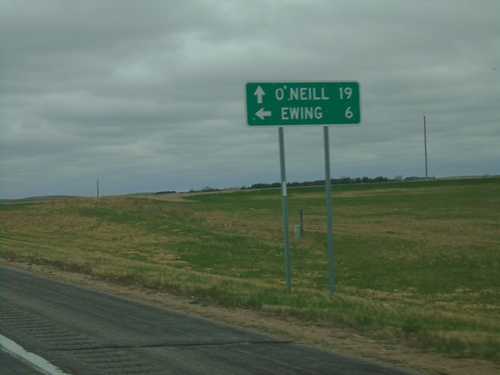
US-20 West at NE-45B Link South
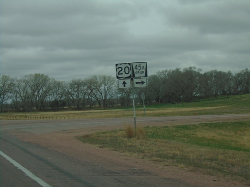
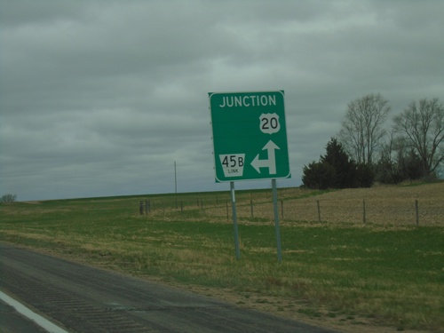
US-20 West at NE-45B Link South to Ewing. Continue west on US-20 for O’Neill.
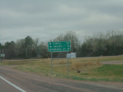
US-20 West at NE-14
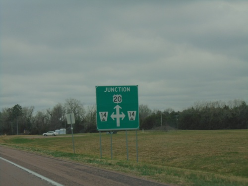
US-20 West at NE-14 in Antelope County. Use NE-14 north to Niobrara; NE-14 south to Neligh. Continue west on US-20 to O’Neill.
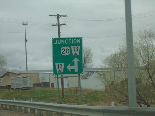
US-20 West Approaching NE-13
US-20 West approaching NE-13 in Plainview. NE-13 north joins US-20 westbound.
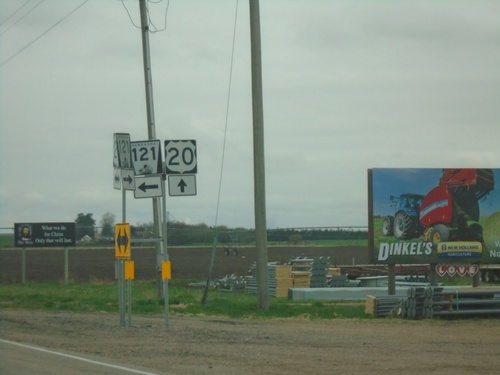
US-20 West/NE-121 South at US-20/NE-121 Split
US-20 West/NE-121 South at US-20/NE-121 split in Osmond.
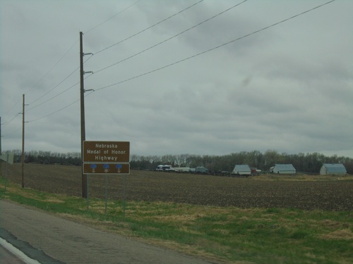
US-20 West - Nebraska Medal of Honor Highway
Nebraska Medal of Honor Highway on US-20 west. US-20 is designated as a Medal of Honor highway. Each state along US-20 has designated its stretch of US-20 as a Medal of Honor highway. The signs across each state look similar.
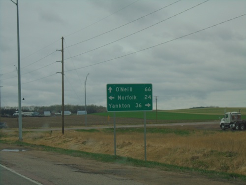
US-20 West at US-81
US-20 West at US-81 in Pierce County. Use US-81 north to Yankton (SD); US-81 south to Norfolk. Continue east on US-20 to O’Neill.
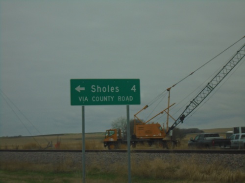
US-20 West - Sholes Junction
US-20 West - Sholes via County Road. Sholes is not connected to the state highway system, and it appears the state is calling out that the connection to Sholes is only via a county road.
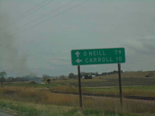
US-20 West at NE-57
US-20 West at NE-57 in Cedar County. Use NE-57 south to Carroll. Use US-20 west for O’Neill. NE-57 north joins US-20 westbound.
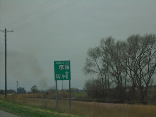
US-20 West Approaching NE-57
US-20 West approaching NE-57 in Cedar County. NE-57 north joins US-20 westbound.
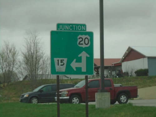
US-20 West/NE-15 South Approaching US-20/NE-15 Split
US-20 West/NE-15 South approaching US-20/NE-15 Split in Laurel.
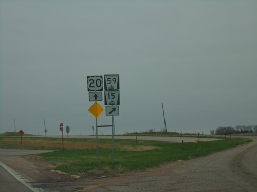
US-20 West at NE-15/NE-59
US-20 West at NE-15/NE-59 in Cedar County. NE-15 south joins US-20 westbound.
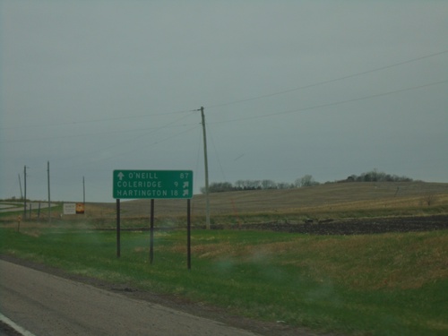
US-20 West at NE-15/NE-59
US-20 West at NE-15/NE-59 to Coleridge and Hartington. Continue west on US-20 to O’Neill.
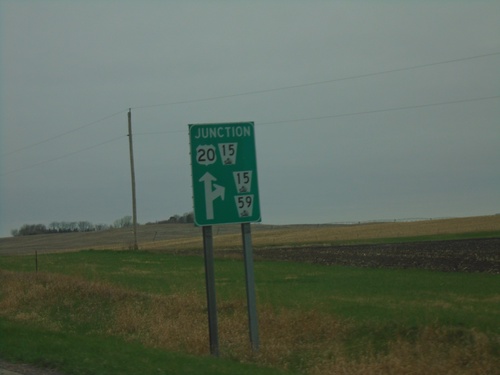
US-20 West Approaching NE-15 and NE-59
US-20 West approaching NE-15 and NE-59 in Cedar County. NE-15 South joins US-20 westbound.
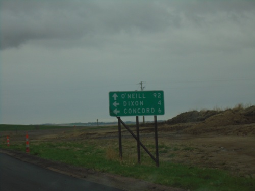
US-20 West at NE-116 South
US-20 West at NE-116 South to Dixon and Concord. Continue on US-20 west for O’Neill.
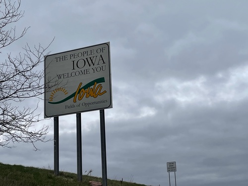
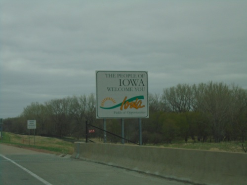
I-29 South - Welcome To Iowa
The People of Iowa Welcome You on I-29 south. At the end of the Big Sioux River bridge at the South Dakota - Iowa state line.
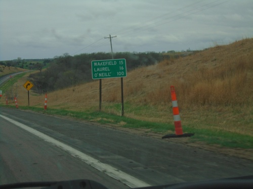
US-20 West/NE-9 South - Distance Marker
Distance Marker on US-20 West/NE-9 South. Distance to Wakefield (via NE-9 South), Laurel, and O’Neill.
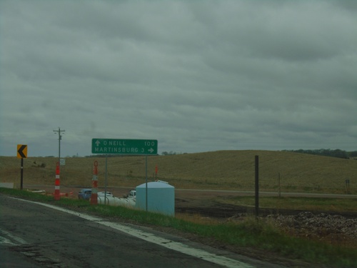
US-20 West at NE-9
US-20 West at NE-9 in Dixon County. Use NE-9 north to Martinsburg. Continue west on US-20 to O’Neill. NE-9 south joins US-20 westbound.
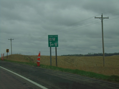
US-20 West Approaching NE-9
US-20 West approaching NE-9 in Dixon County. NE-9 south joins US-20 westbound.
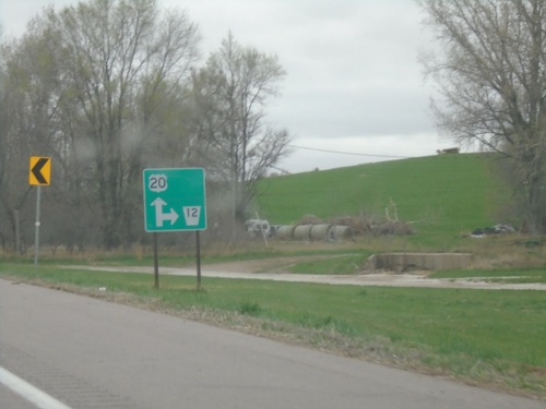
US-20 West Approaching NE-12
US-20 West approaching NE-12. The NE-12 shield is missing the covered wagon logo.
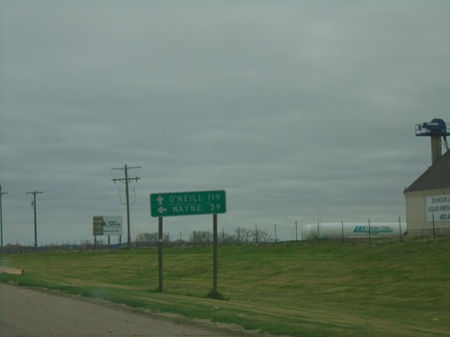
US-20 West Approaching NE-110
US-20 West approaching NE-110. Use NE-110 South to Wayne; continue west on US-20 to O’Neill.
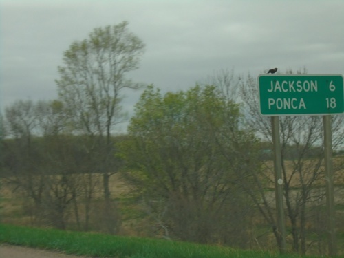
US-20 West - Distance Marker
Distance marker on US-20 west. Distance to Jackson and Ponca. This is the first distance marker westbound on US-20 in Nebraska.
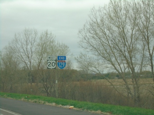
US-20 West/End I-129 - South Sioux City
US-20 West/End I-129 in South Sioux City. The freeway ends here westbound.
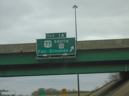
I-129 West/US-20 West/US-75 South - Exit 1A
I-129 West/US-20 West/US-75 South at Exit 1A - US-77 South/US-75/Fair Grounds. US-75 leaves US-20 westbound here.
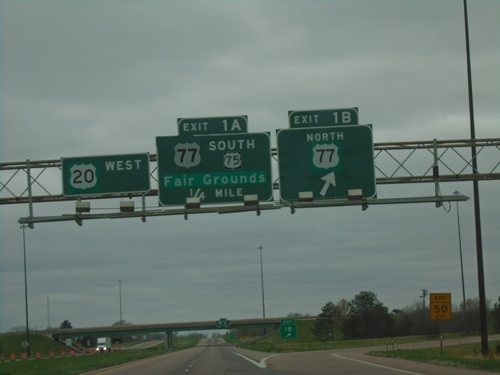
I-129 West/US-20 West/US-75 South at Exits 1B and 1A
I-129 West/US-20 West/US-75 South at Exit 1B - US-77 North and Exit 1A - US-77 South/US-75/Fair Grounds. US-20 continues westbound. US-75 south leaves US-20 west here.
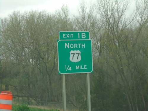
I-129 West/US-20 West/US-75 South - Exit 1B
I-129 West/US-20 West/US-75 South approaching Exit 1B - US-77 North.
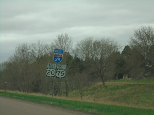
I-129 West/US-20 West/US-75 South - South Sioux City
I-129 West/US-20 West/US-75 South - South Sioux City. This sign assembly is incorrect as it shows I-129 as I-29 and it also uses the state name of IOWA, even though it is placed inside of Nebraska.
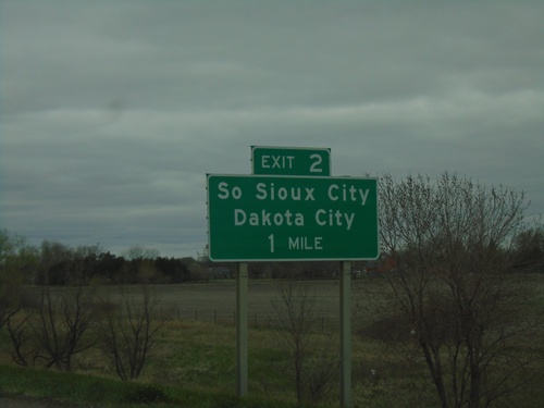
I-129/US-20 West/US-75 South - Exit 2
I-129/US-20 West/US-75 South approaching Exit 2 - South Sioux City/Dakota City.
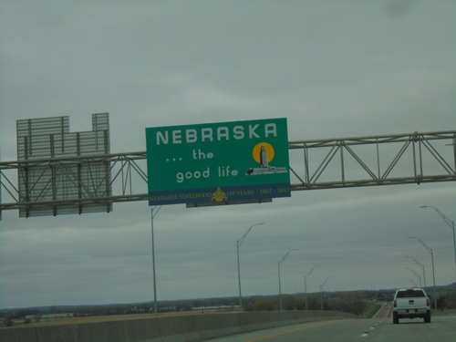
I-129 West/US-20-West/US-75 South - Welcome To Nebraska
Welcome To Nebraska on I-129 West/US-20-West/US-75 South. Taken on the bridge over the Missouri River on the Iowa-Nebraska state line.
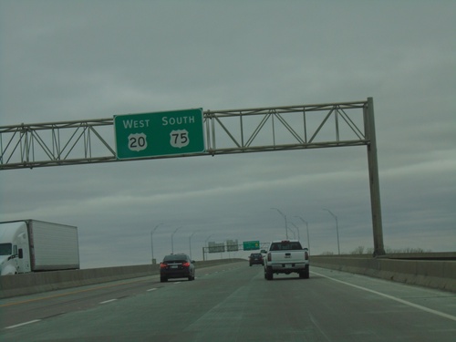
US-20 West/US-75 South - Approaching Missouri River Bridge
(I-129 West)/US-20 West/US-75 South approaching the Missouri River bridge
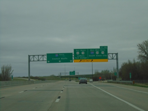
I-29 South - Exit 144
I-29 south at Exit 144 - I-129 West/US-20 West/US-75 South/South Sioux City (NE)/US-20 East/US-75 North/LeMars/Fort Dodge. I-29 continues southbound to Council Bluffs.
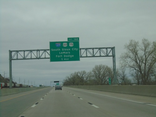
I-29 South - Exit 144
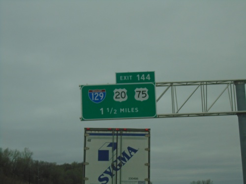
I-29 south approaching Exit 144 - I-129/US-20/US-75/South Sioux City (NE)/LeMars/Fort Dodge.
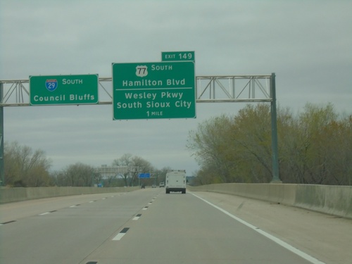
I-29 South - Exit 149
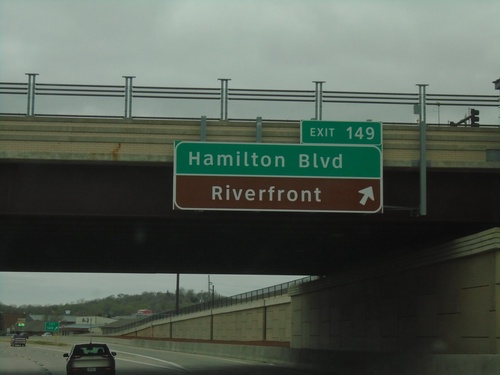
I-29 south approaching Exit 149 - US-77 South/Hamilton Blvd/Wesley Parkway/South Sioux City (NE). I-29 continues south to Council Bluffs.
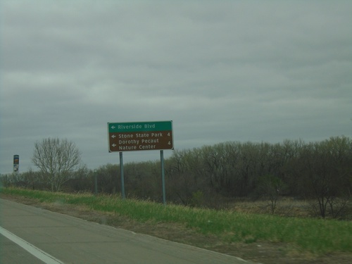
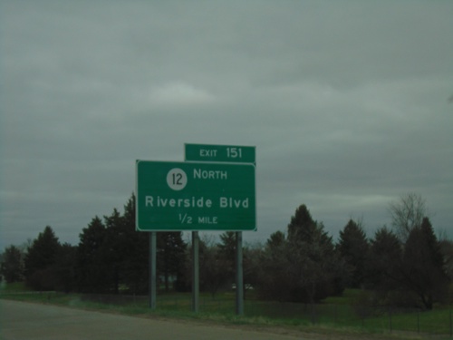
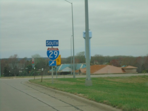
I-29 South Exit 151 Offramp at IA-12
I-29 South Exit 151 offramp at IA-12. Turn left on IA-12 north for Riverside Blvd., Stone State Park, Dorothy Peanut Nature Center.
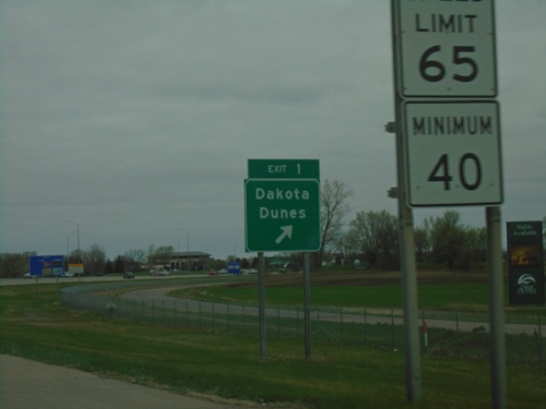
I-29 North - Exit 1
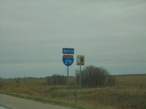
I-29 north at Exit 1 - Dakota Dunes. This is the first exit in South Dakota on I-29 northbound.
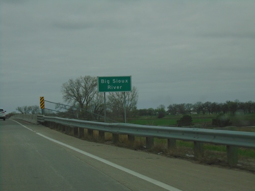
I-29 North - Big Sioux River
I-29 north at the Big Sioux River. The Big Sioux River marks the state line between Iowa and South Dakota.
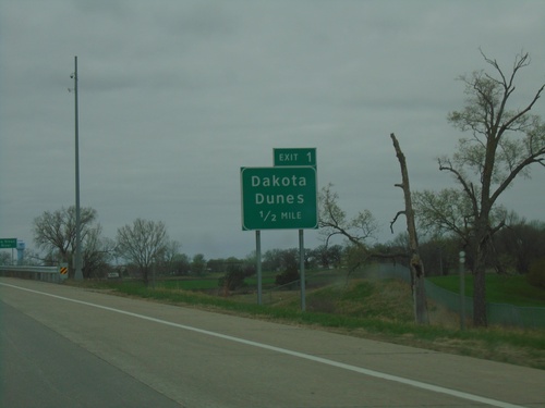
I-29 North - South Dakota Exit 1
I-29 North - Exit 1 (South Dakota) - Dakota Dunes. Approaching the South Dakota state line.
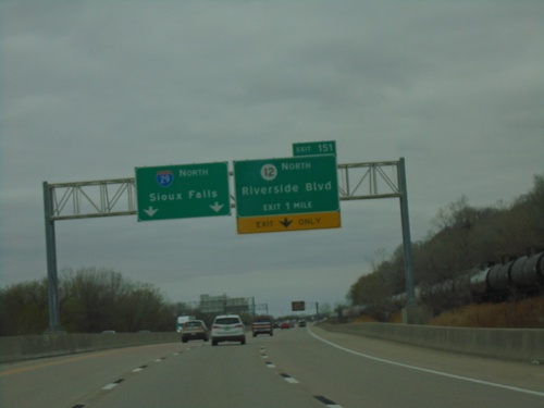
I-29 North - Exit 151
I-29 North approaching Exit 151 - IA-12 North/Riverside Blvd. Continue north on I-29 to Sioux Falls (SD). This is the last exit in Iowa northbound.
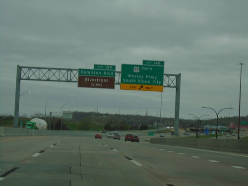
I-29 North - Exits 148 and 149
I-29 north at Exit 148 - US-77 South/Wesley Parkway/South Sioux City (NE). Approaching Exit 149 - Hamilton Blvd./Riverfront.
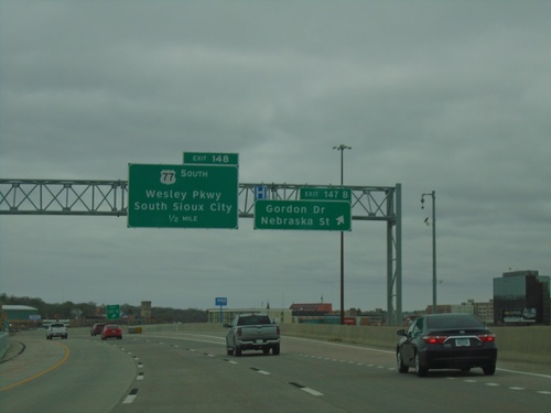
I-29 North - Exits 147B and 148
I-29 North at Exits 147B - Gordon Drive/Nebraska St and approaching Exit 148 - US-77 South/Wesley Parkway/South Sioux City (NE).
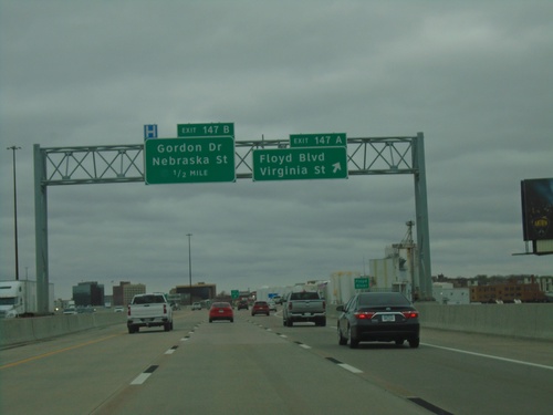
I-29 North - Exits 147A and 147B
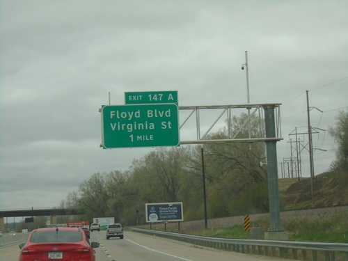
I-29 north at Exit 147A - Floyd Blvd/Virginia St. Approaching Exit 147B - Gordon Drive/Nebraska St.
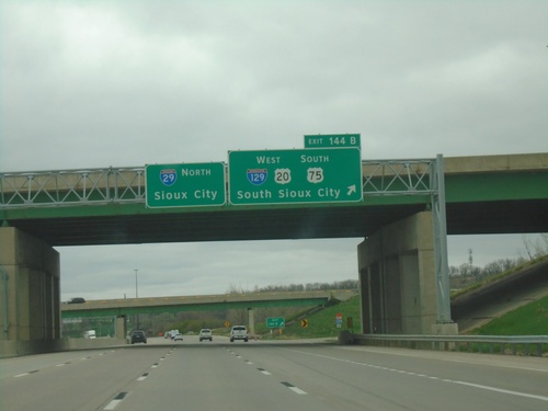
I-29 North - Exit 144B
I-29 north at Exit 144B - I-129 West/US-20 West/US-75 South/South Sioux City (NE). Continue north on I-29 for Sioux City.
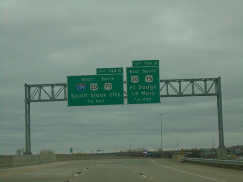
I-29 North - Exits 144A and 144B
I-29 north approaching Exit 144A - US-20 East/US-75 North/Fort Dodge/Le Mars. Approaching Exit 144B - I-129 West/US-20 West/US-75 South/South Sioux City (NE).
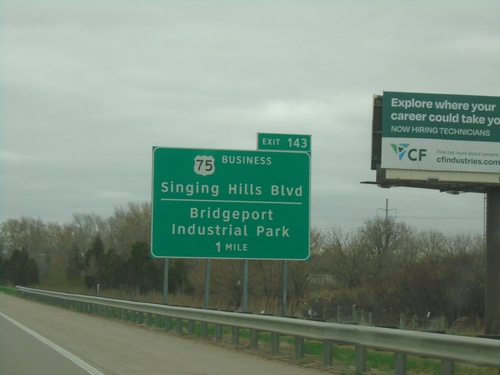
I-29 North - Exit 143
I-29 north approaching Exit 143 - Bus. US-75/Singing Hills Blvd/Bridgeport Industrial Park.
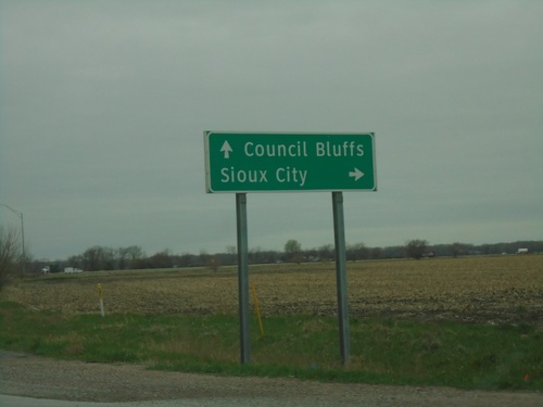
IA-175 West at I-29 (Exit 112)
IA-175 West at I-29 (Exit 112). Use I-29 north to Sioux City; I-29 south to Council Bluffs.
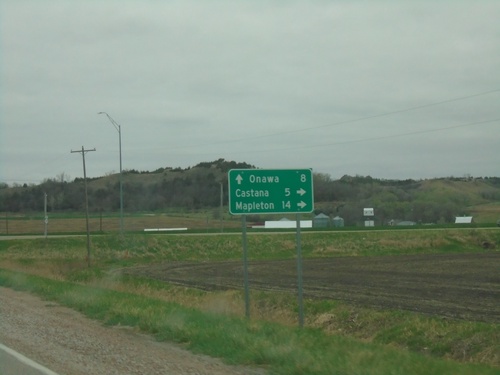
End IA-37 at IA-175
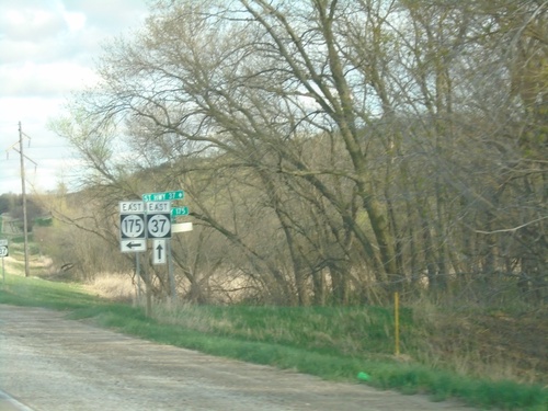
End IA-37 at IA-175 in Monona County. Use IA-175 east to Castana and Mapleton. Use IA-175 west to Onawa.
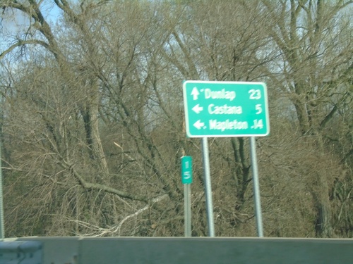
IA-175 East at IA-37
IA-175 East at IA-37 in Monona County. Use IA-37 East to Dunlap; IA-175 East to Castana and Mapleton.
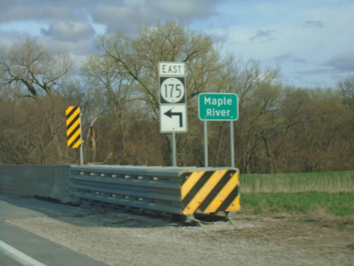
IA-175 East at IA-37 Junction and Maple River Bridge
IA-175 East at IA-37 Junction bridge over Maple River.
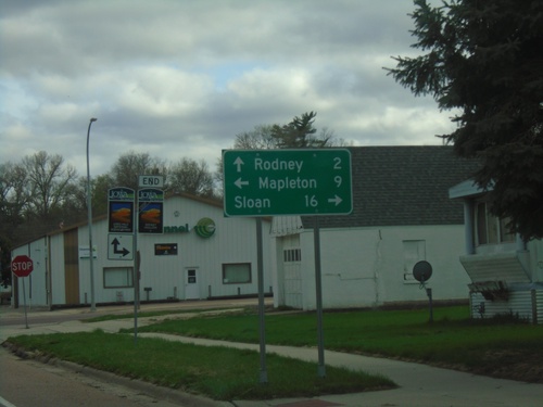
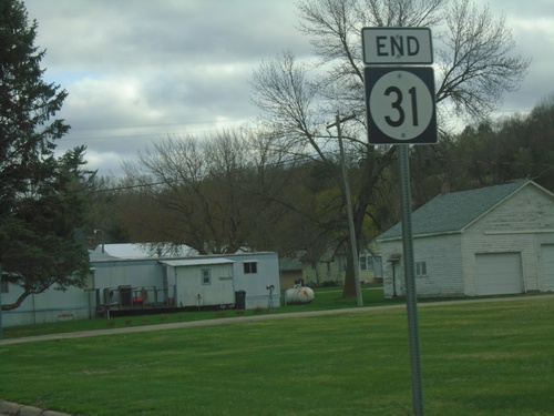
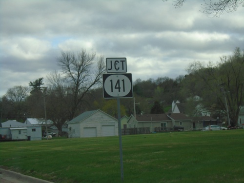
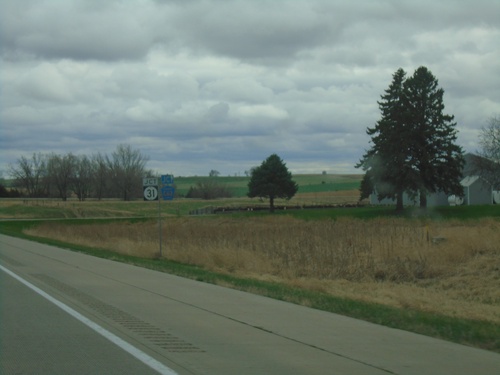
End IA-31 South at IA-141 and CH-L12
End IA-31 South at IA-141 and CH-L12 in Smithland. Use IA-141 west to Sloan; IA-141 east to Mapleton; and CH-L12 South to Rodney. The signs in the background indicate routes of the Loess Hills National Scenic Byway.
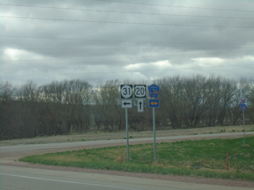
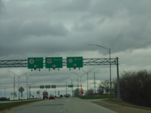
US-20 East/IA-31 South at US-20/IA-31 Split and CH-L36
US-20 East/IA-31 South at US-20/IA-31 split and CH-L36 in Correctionville.
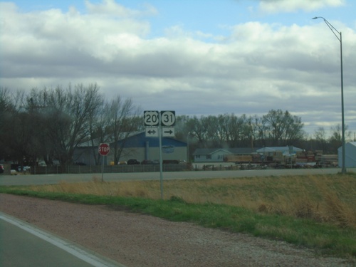
IA-31 South at US-20
IA-31 South at US-20 in Correctionville. IA-31 South joins US-20 westbound briefly.
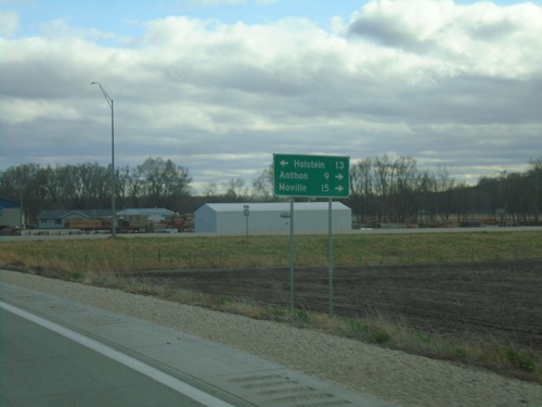
IA-31 South at US-20 - Correctionville
IA-31 South at US-20 in Correctionville. Use US-20 West to Holstein; US-20 East to Anthon and Molville. IA-31 South joins US-20 briefly eastbound.
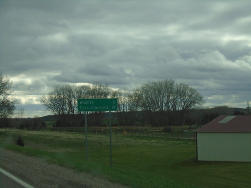
IA-31 South - Distance Marker
Distance marker on IA-31 south. Distance to Washta and Correctionville.
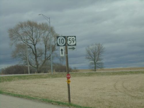
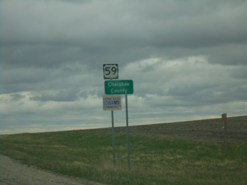
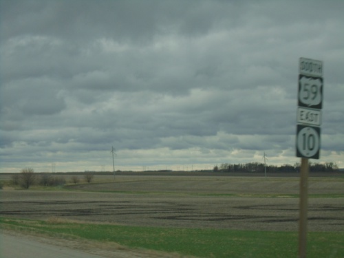
US-59 South/IA-10 East at US-59/IA-10 Split
US-59 South/IA-10 East at US-59/IA-10 split in O’Brien County.
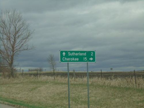
US-59 South/IA-10 East Approaching US-59/IA-10 Split
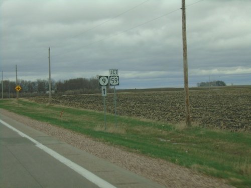
US-59 South/IA-10 East approaching US-59/IA-10 Split in O’Brien County. Use US-59 south to Cherokee; US-59 north to Sutherland.
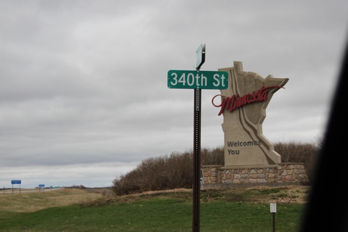
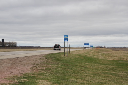
Welcome To Minnesota - MN-60 East
Welcome To Minnesota on MN-60 East. Taken at the Iowa-Minnesota line. 340th St. where this picture is taken runs along the state line.
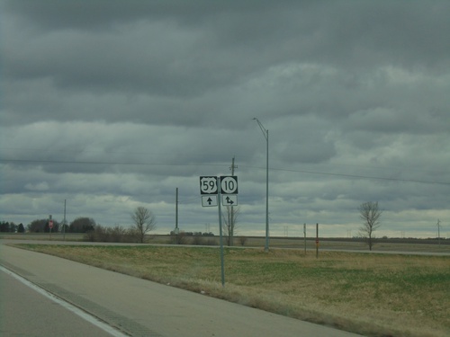
US-59 South at IA-10 - O'Brien County
US-59 South at IA-10 in O’Brien County. IA-10 East joins US-59 Southbound.
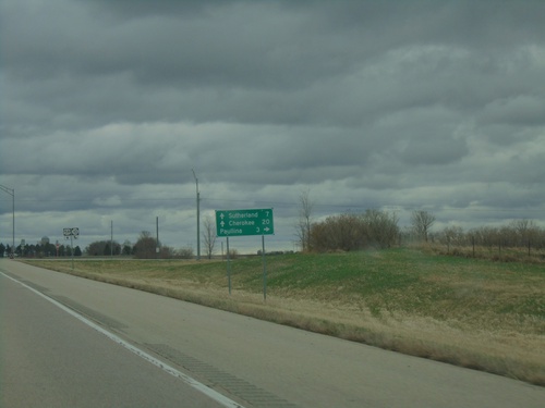
US-59 South Approaching IA-10
US-59 South approaching IA-10 in O’Brien County. Use IA-10 West to Paulina. IA-10 East joins US-59 south. Use IA-10/US-59 for Southerland and Cherokee.
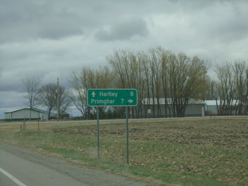
US-18 East/US-59 South At US-18/US-59 Split
US-18 East/US-59 South At US-18/US-59 split in O’Brien County. Use US-59 south to Primghar; use US-18 east to Hartley.
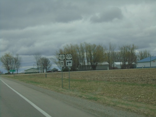
US-18 East/US-59 South Approaching US-18/US-59 Split
US-18 East/US-59 South approaching US-18/US-59 split in O’Brien County.
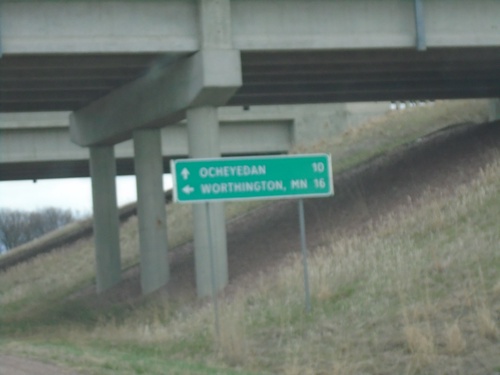
IA-9 East at IA-60 North
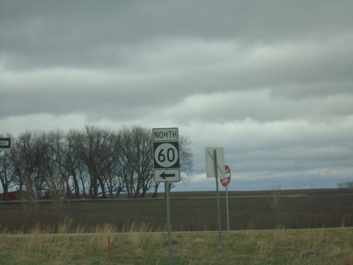
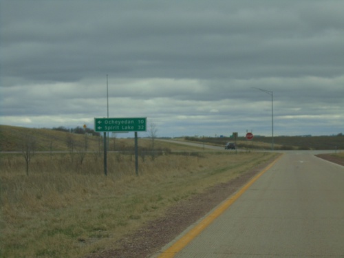
IA-9 East at IA-60 North onramp. Use IA-60 north to Worthington, MN. Continue east on IA-9 for Ocheyedan.
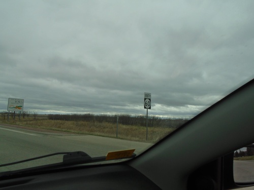
IA-60 South - Iowa/Minnesota State Line
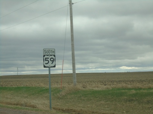
IA-60 South at the Iowa/Minnesota State Line. The Iowa welcome sign can be sign in the background.
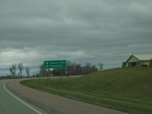
US-59 South/MN-60 West Split
US-59 South/MN-60 West split in Nobles County. Turn left for US-59 South to Cherokee (IA); continue straight on MN-60 West to Sioux City (IA).
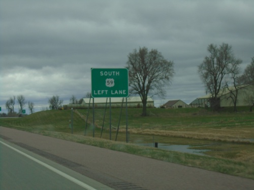
US-59 South/MN-60 West Approaching US-59/MN-60 Split
US-59 South/MN-60 West approaching US-59/MN-60 split in Nobles County. Use left lane for US-59 south. MN-60 continues west on divided highway.
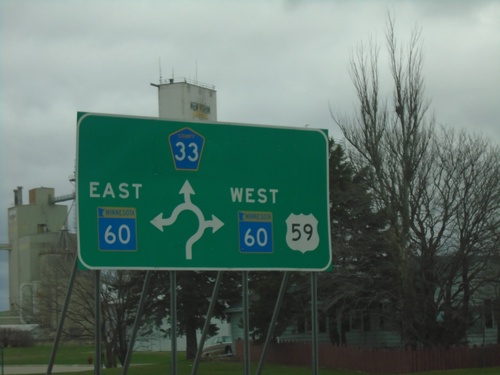
US-59 South/BL-90 West at MN-60/CH-33 - Roundabout
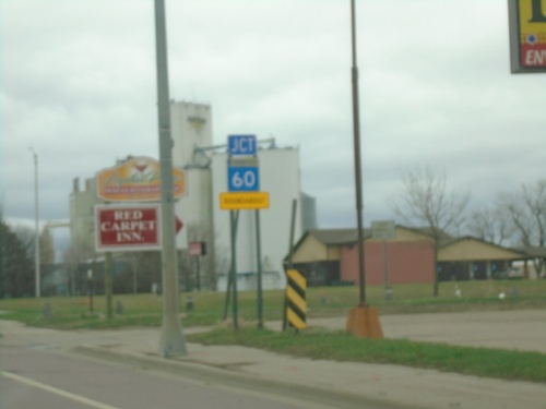
US-59 South/BL-90 West at MN-60/CH-33 roundabout in Worthington. US-59 South joins MN-60 Westbound. BL-90 East joins MN-60 Eastbound.
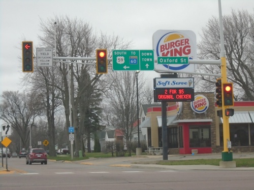
US-59 South at BL-90/To MN-60
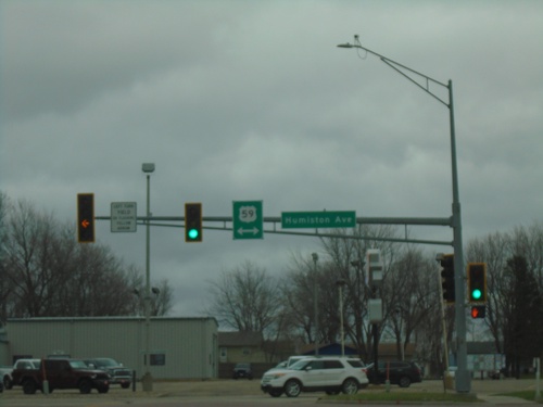
US-59 South (Humiston Ave.) at BL-90/To MN-60 (Oxford St.). Turn left on Oxford St. to continue south on US-59 South and to MN-60. Continue straight for Downtown (Worthington).
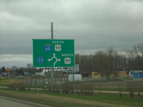
MN-60 West at US-59 and CH-33
MN-60 West at US-59 and CH-33 roundabout in Worthington. US-59 South joins MN-60 westbound.
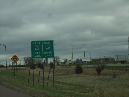
I-90 East - Exit 45 Offramp at BL-90/MN-60 Roundabout
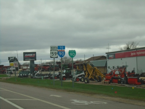
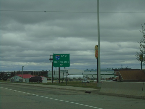
I-90 East - Exit 45 offramp at BL-90/MN-60 roundabout in Worthington. Use right lane for MN-60 West/(BL-90 West); left lane for MN-60 East.
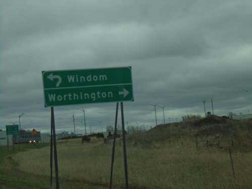
I-90 East - Exit 45 Offramp at MN-60/BL-90 Roundabout
I-90 East - Exit 45 Offramp at MN-60/BL-90 roundabout. Use BL-90 West/MN-60 South to Worthington; MN-60 north to Windom.
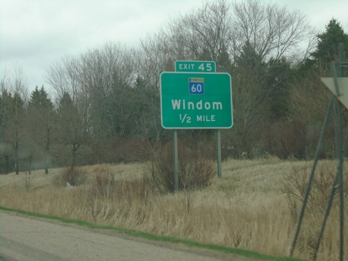
I-90 East - Exit 45
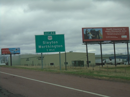
I-90 east approaching Exit 45 - MN-60/Windom. This is the eastern end of the Worthington business loop.
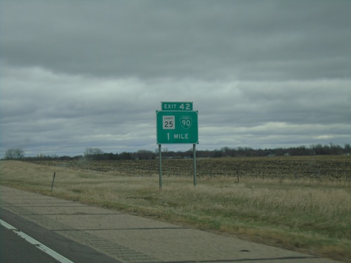
I-90 East - Exit 42
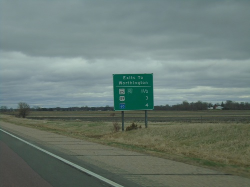
I-90 East approaching Exit 42 - BL-90/CH-25. This is the west end of the Worthington business loop.
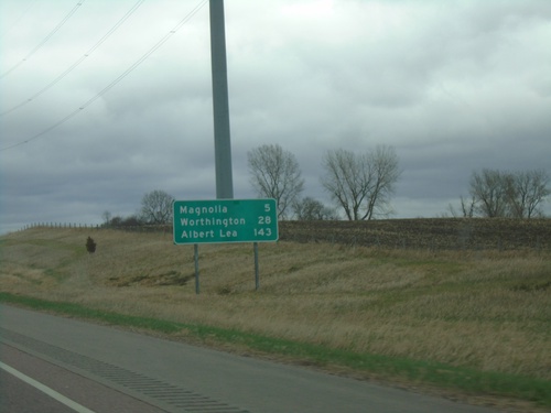
I-90 East - Distance Marker
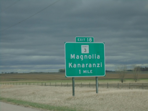
Distance marker on I-90 east. Distance to Magnolia, Worthington, and Albert Lea.
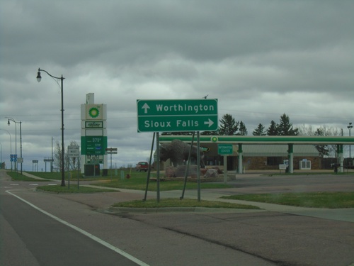
US-75 South Approaching I-90
US-75 South approaching I-90 in Luverne. Use I-90 west to Sioux Falls (South Dakota); I-90 east to Worthington.
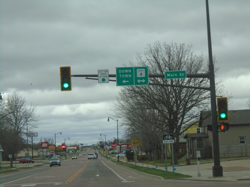
US-75 South at Rock County 4 / Main St
US-75 South at Rock County 4 / Main St in Luverne. Turn left on Main St./CH-4 for Downtown (Luverne).
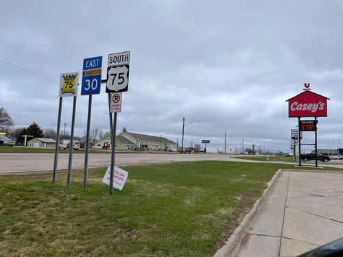
US-75 South/MN-30 East - Pipestone
US-75 South/MN-30 East - Pipestone. The Highway 75 King of Trails Scenic Byway marker is also posted on this sign assembly.
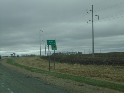
US-75 South - Rock County
Rock County on US-75 South. Rock County is in the southwestern corner of Minnesota.
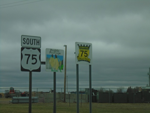
US-75 South - Pipestone
US-75 South - Highway 75 King of Trails Scenic Byway and Prairie Passage Route.
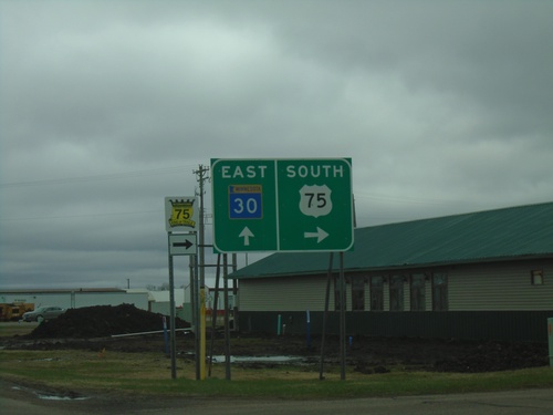
US-75 South/MN-30 West at US-75/MN-30 Split
US-75 South/MN-30 West at US-75/MN-30 split in Pipestone.
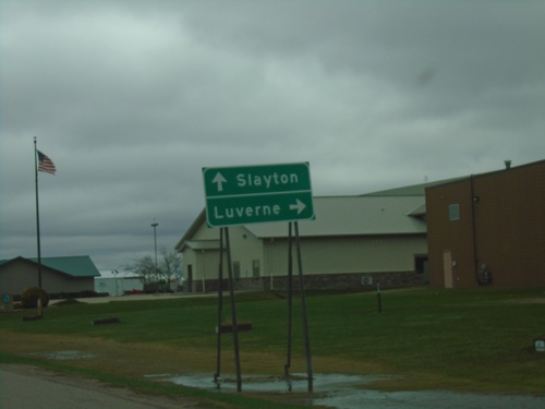
US-75 South/MN-30 East Approaching US-75/MN-30 Split
US-75 South/MN-30 East approaching US-75/MN-30 split in Pipestone. Use US-75 South for Luverne; MN-30 East for Slayton.
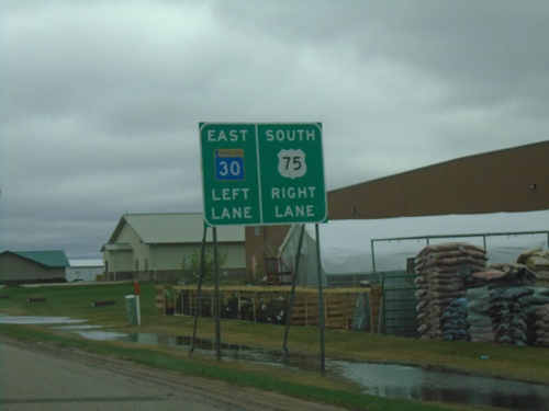
MN-30 East/US-75 South Approaching MN-30/US-75 Split
MN-30 East/US-75 South approaching MN-30/US-75 Split in Pipestone. Use left lane for MN-30 East; right lane for US-75 South.
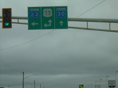
MN-30 East/MN-23 North at US-75
MN-30 East/MN-23 North at US-75 in Pipestone. Turn left for US-75 North/MN-23 North. Continue straight for MN-30 East/US-75 South. US-75 South joins MN-30 East through Pipestone.
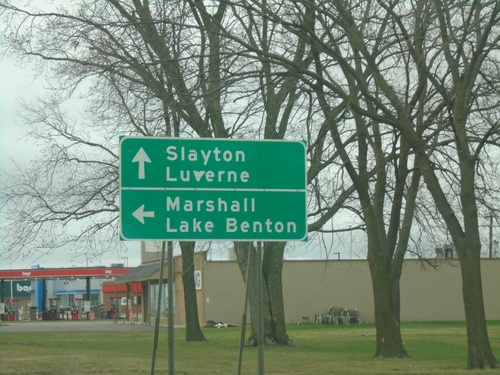
MN-30 East/MN-23 North Approaching US-75/MN-23 North
MN-30 East/MN-23 North approaching US-75/MN-23 North in Pipestone. Use US-75/MN-23 North for Marshall and Lake Benton. Use US-75 South/MN-30 East for Slayton and Luverne. US-75 South joins MN-30 East through Pipestone.
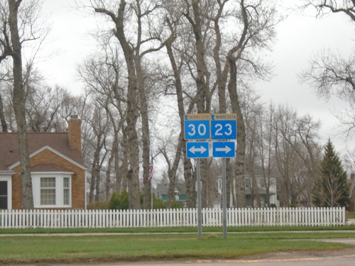
MN-23 North at MN-30
MN-23 North at MN-30 in Pipestone. MN-23 north joins MN-30 east through Pipestone.
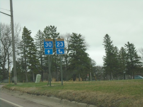
MN-30 East Approaching MN-23
MN-30 East Approaching MN-23 South. MN-23 joins MN-30 through Pipestone.
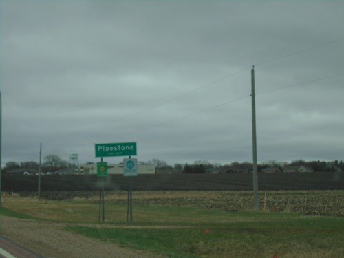
MN-30 East - Pipestone
Entering Pipestone on MN-30 east. Pipestone is the count seat of Pipestone County.
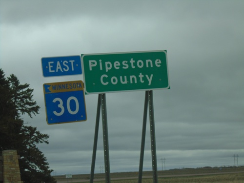
MN-30 East - Pipestone County
MN-30 East - Pipestone County. At the South Dakota-Minnesota State Line.

MN-30 East - Pipestone County
MN-30 East - Pipestone County. At the South Dakota-Minnesota State Line.
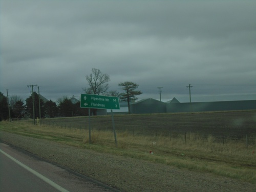
SD-34 East Approaching SD-34
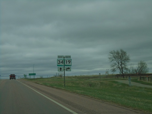
SD-34 East approaching SD-13 north to Flandreau. Continue east on SD-34 for Pipestone, MN.
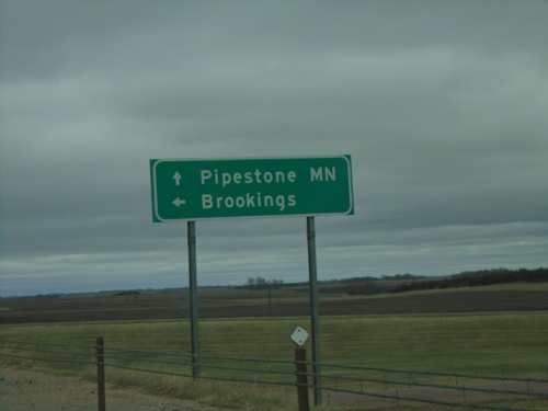
SD-34 East at I-29 North
SD-34 East at I-29 North to Brookings. Continue east on SD-34 for Pipestone, MN.
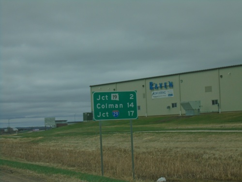
SD-34 East - Distance Marker
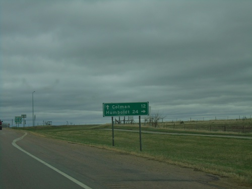
Distance marker on SD-34 east. Distance to Jct SD-19, Colman, and Jct. I-29.
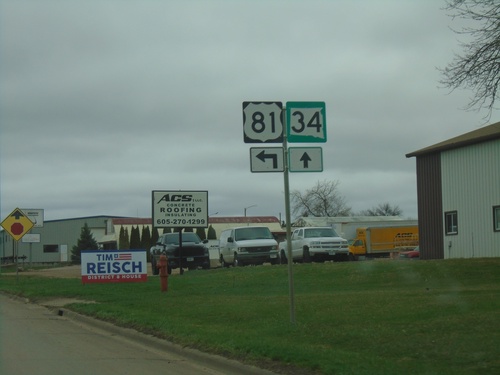
US-81 North/SD-34 East at US-81/SD-34 Split in Madison
US-81 North/SD-34 East at US-81/SD-34 Split in Madison
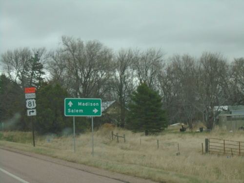
SD-34 East Approaching US-81
SD-34 East approaching US-81 in Miner County. Use US-81 south to Salem. US-81 North joins SD-34 East to Madison.
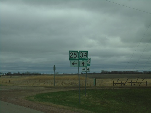
SD-34 East/SD-25 South at SD-34/SD-25 Split
SD-34 East/SD-25 South at SD-34/SD-25 split in Miner County.
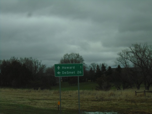
SD-34 East/SD-25 North at SD-34/SD-25 Split
SD-34 East/SD-25 North at SD-34/SD-25 split in Miner County. Use SD-25 North to De Smet; SD-34 East to Howard.
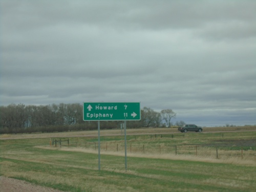
SD-34 East at SD-25 South
SD-34 East at SD-25 South to Epiphany. Continue on SD-34 East/SD-25 North to Howard. SD-25 North joins SD-34 eastbound.
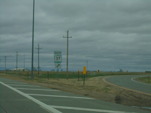
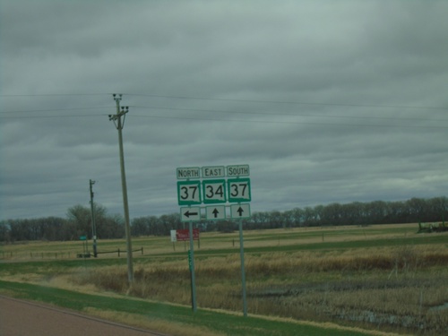
SD-34 East/SD-37 South at SD-34/SD-37 Split
SD-34 East/SD-37 South at SD-34/SD-37 split in Sanborn County.
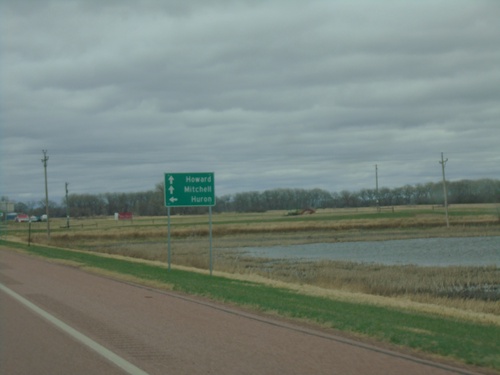
SD-34 East Approaching SD-37
SD-34 East approaching SD-37 in Sanborn County. Use SD-37 North to Huron. Continue on SD-34 East/SD-37 south for Howard and Mitchell. SD-37 South joins SD-34 East.
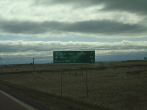
SD-34 East Approaching SD-45
SD-34 East approaching SD-45. Use SD-45 south for Gann Valley; SD-45 north for Miller. Continue east on SD-34 for Wessington Springs.
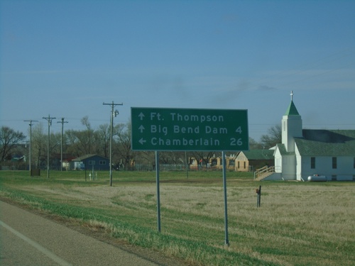
SD-34 East/SD-47 South Approaching SD-34/SD-47 Split
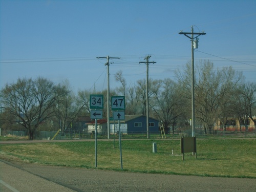
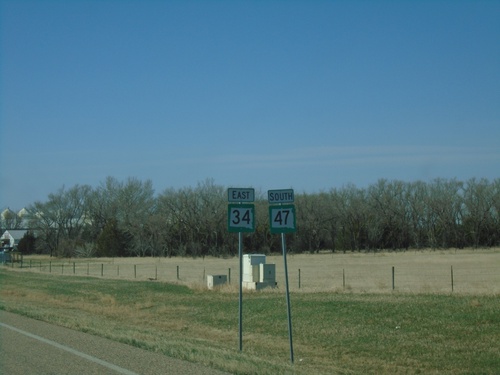
SD-34 East/SD-47 South approaching SD-34/SD-47 split in Fort Thompson. Continue south on SD-47 for Fort Thompson and Big Bend Dam. Turn left for SD-34 east to Chamberlain.
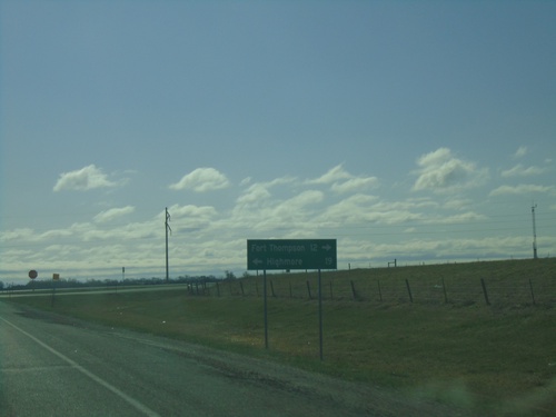
SD-34 East at SD-47 - Hyde County
SD-34 East at SD-47 in Hyde County. Use SD-47 north for Highmore; SD-34 East/SD-47 South for Fort Thompson. SD-47 South joins SD-34 East to Fort Thompson.
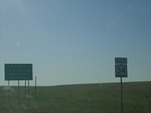
SD-34 East - Crow Creek Reservation
Entering Crow Creek/Hunkpati Oyate Reservation on SD-34 north. The Crow Creek Reservation is home to the Crow Creek Sioux Tribe.
