Javascript Is Required To Use This Page

Signs From July 2022
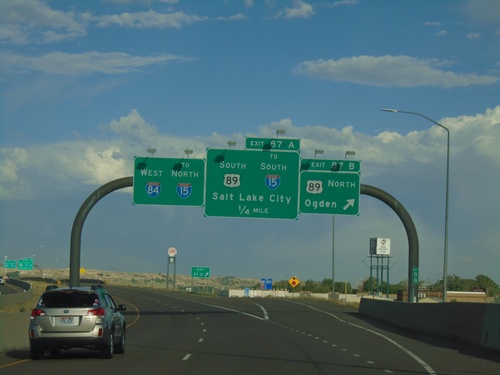
I-84 West - Exits 87A and 87B

I-84 West - Exits 87A and 87B

I-84 west at Exit 87B - US-89 North/Ogden. Approaching US-89 South/To I-15 South/Salt Lake City. Continue west on I-84 for I-15 north.
I-80 West - Distance Marker

I-80 West - Distance Marker

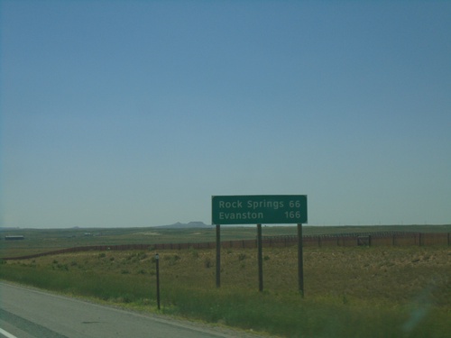
Distance marker on I-80 west. Distance to Rock Springs and Evanston.

I-80 West - Exit 235

I-80 West - Exit 235

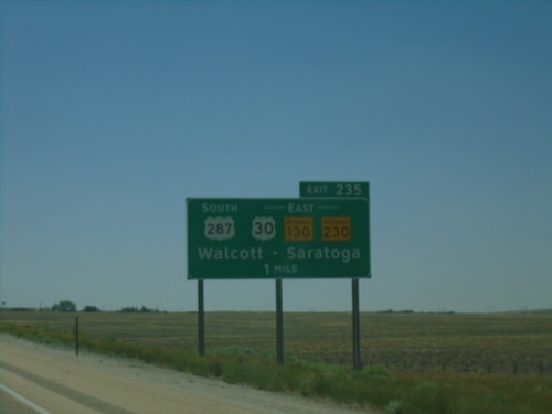
I-80 west approaching Exit 235 - US-287 South/US-30/WY-130/WY-230 East/Walcott/Saratoga.
I-80 West - Exit 238

I-80 West - Exit 238

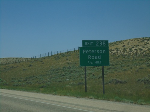
I-80 west approaching Exit 238 - Peterson Road

I-80 West - Exit 267

I-80 West - Exit 267

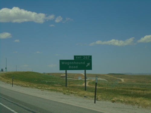
I-80 west approaching Exit 267 - Wagonhound Road.

I-80 West - Exit 267

I-80 West - Exit 267

I-80 west at Exit 267 - Wagonhound Road.

I-80 West - Exit 272

I-80 West - Exit 272

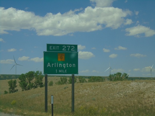
I-80 west approaching Exit 272 - WY-13/Arlington

I-80 West - Exit 290

I-80 West - Exit 290

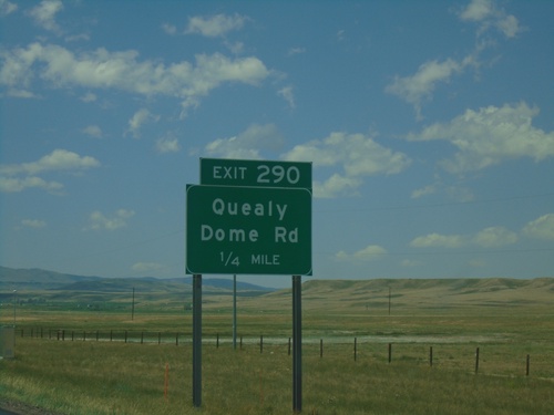
I-80 west approaching Exit 290 - Quealy Dome Road.

BL-80 East - Laramie

BL-80 East - Laramie

BL-80 East on Curtis St. in Laramie

I-80 West Exits 311/Exit 310

I-80 West Exits 311/Exit 310

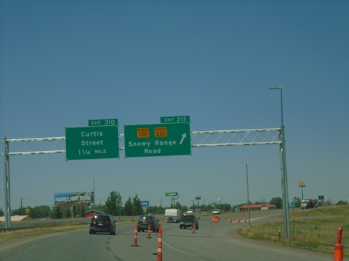
I-80 west at Exit 311 - WY-130/WY-230/Snowy Range Road. Approaching Exit 310 - Curtis St.
I-80 West - Exit 313 Offramp at US-287

I-80 West - Exit 313 Offramp at US-287

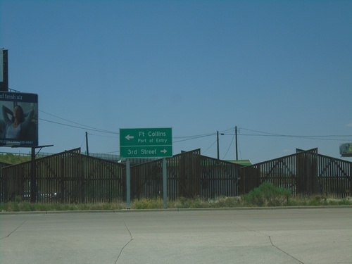
I-80 West Exit 313 Offramp at US-287 in Laramie. Turn right for US-287 North/3rd St. Turn left for US-287 South/Fort Collins (Colorado)/Port of Entry.
I-80 West - Exit 313 Offramp at US-287

I-80 West - Exit 313 Offramp at US-287

I-80 West Exit 313 Offramp at US-287 in Laramie.

I-25 North - Exits 8D and 8B

I-25 North - Exits 8D and 8B

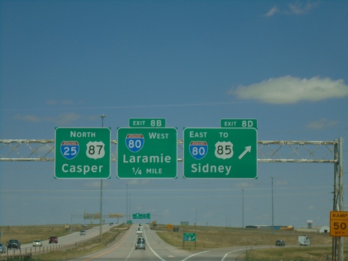
I-25 North at Exit 8D - I-80 East/To US-85/Sidney (Nebraska). Approaching Exit 8B - I-80 West/Laramie. I-25/US-87 continues north to Casper.
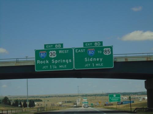
I-25 North - Exits 8B and 8D

I-25 North - Exits 8B and 8D

I-25 north approaching Exit 8B - I-80/US-30 West/Rock Springs. Approaching Exit 8D - I-80 East/To US-85/Sidney (Nebraska).
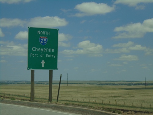
I-25 North - Exit 7

I-25 North - Exit 7

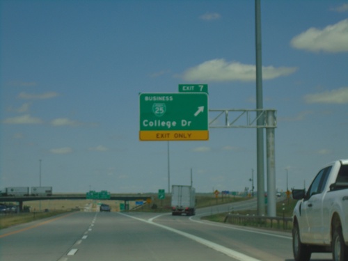
I-25 north at Exit 7 - BL-25/College Drive.

I-25 North - Exit 7

I-25 North - Exit 7

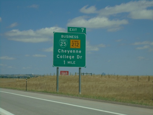
I-25 north approaching Exit 7 - BL-25/WY-212/College Drive.

High Plains Road Roundabout At I-25 Onramp

High Plains Road Roundabout At I-25 Onramp

High Plains Road Roundabout at I-25 (Exit 4) onramp at I-25 North/Cheyenne/Port of Entry.
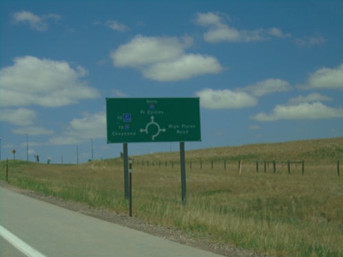
I-25 South - Exit 4 Offramp

I-25 South - Exit 4 Offramp

I-25 South Exit 4 offramp approaching roundabout. Use roundabout for access to West High Plains Road, I-25 South/Fort Collins, Welcome Center, and I-25 North/Cheyenne.
I-25 South - Exit 4

I-25 South - Exit 4

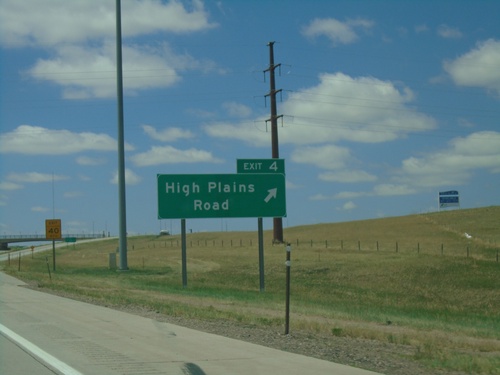
I-25 south at Exit 4 - High Plains Road.

I-25 South - Exit 4

I-25 South - Exit 4

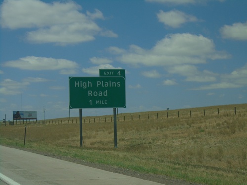
I-25 south approaching Exit 4 - High Plains Road.

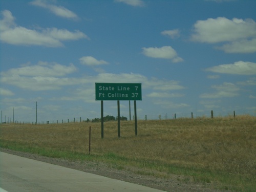
I-25 South - Distance Marker

I-25 South - Distance Marker

Distance marker on I-25 south. Distance to State Line (Colorado) and Fort Collins (Colorado).
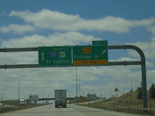
I-25 South - Exit 7

I-25 South - Exit 7

I-25 south at Exit 7 - WY-212/College Drive. I-25/US-87 continues south towards Fort Collins (Colorado).
I-80 West - Exit 359A

I-80 West - Exit 359A

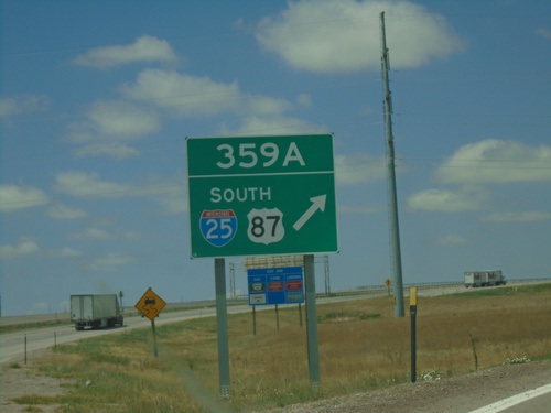
I-80 West at Exit 359A - I-25/US-87 South.

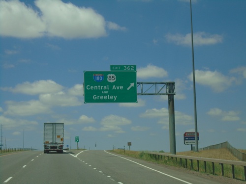
I-80 West - Exit 362

I-80 West - Exit 362

I-80 west at Exit 362 - I-180/US-85/Central Ave./Greeley. I-180 in Cheyenne is the rare interstate highway that is not a freeway, rather a city street with stoplights.
I-80 West - Exit 364

I-80 West - Exit 364

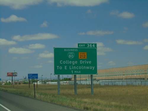
I-80 west approaching Exit 364 - BL-80/WY-212/College Drive/To E Lincolnway.

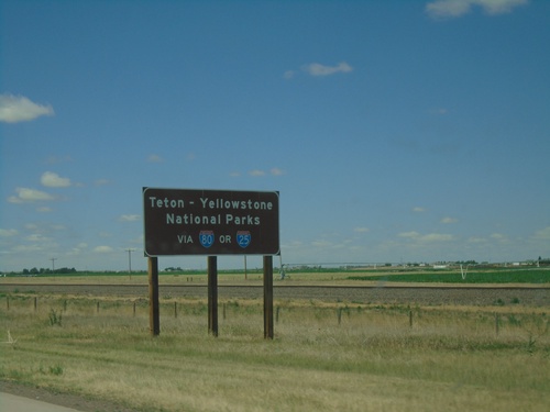
I-80 West - Teton - Yellowstone National Parks

I-80 West - Teton - Yellowstone National Parks

Teton - Yellowstone National Parks via I-80 or I-25. Taken on I-80 west near Pine Bluffs. All major highways entering Wyoming have similar directions to Teton and Yellowstone National Parks.
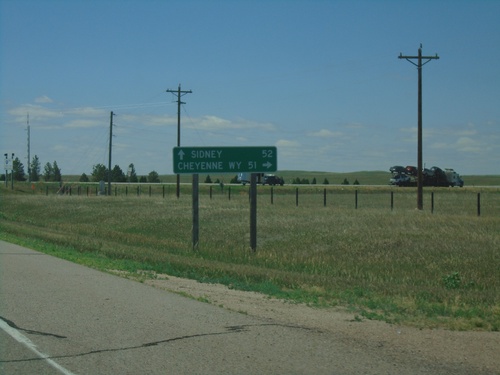
I-80 West - Milemarker 6

I-80 West - Milemarker 6

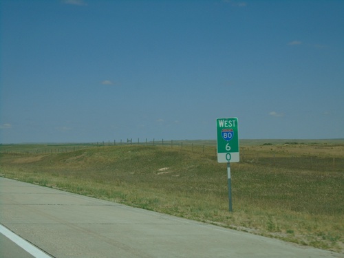
Milemarker 6 on I-80 West in Kimball County, Nebraska.

End NE-53C Link South at I-80 East

End NE-53C Link South at I-80 East

End NE-53C Link South at I-80 East to Sidney.

NE-53C Link South at I-80

NE-53C Link South at I-80

NE-53C Link South at I-80 (Exit 8)

NE-53C Link South Approaching I-80

NE-53C Link South Approaching I-80

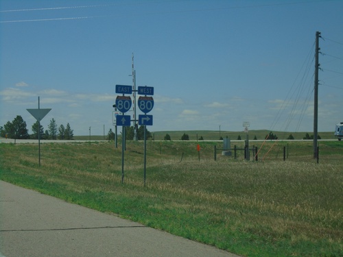
NE-53C Link South approaching I-80. Use I-80 west to Cheyenne, WY; I-80 east to Sidney.
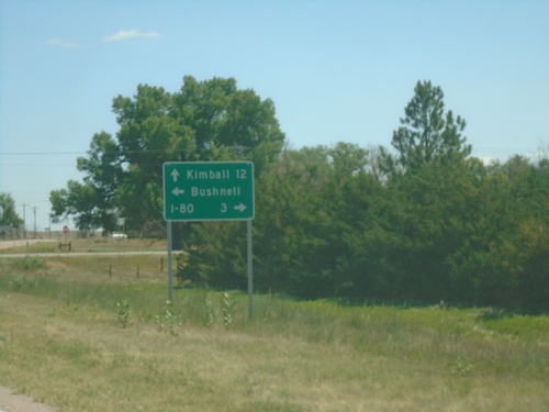
NE-53C Link South - Distance Marker

NE-53C Link South - Distance Marker

Distance Marker on NE-53C Link South. Distance to I-80.

US-30 East at NE-53C Link South - Bushnell

US-30 East at NE-53C Link South - Bushnell

US-30 East at NE-53C Link South in Bushnell. Use NE-53C Link for I-80; continue east on US-30 for Kimball. Turn left for Bushnell.
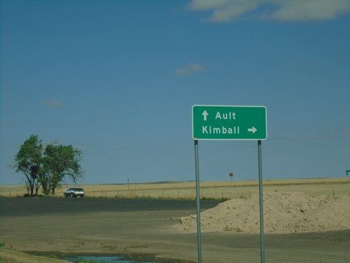
US-30 East Approaching NE-53C Link South

US-30 East Approaching NE-53C Link South

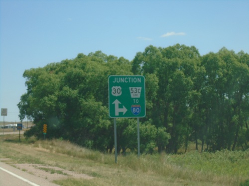
US-30 East approaching NE-53C Link South to I-80

US-30 East at NE-53C Link South

US-30 East at NE-53C Link South

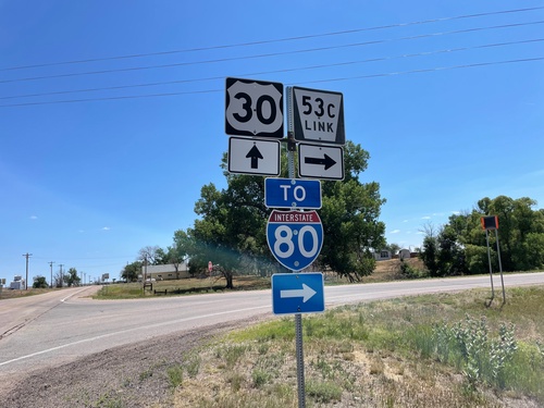
US-30 East at NE-53C Link South to I-80

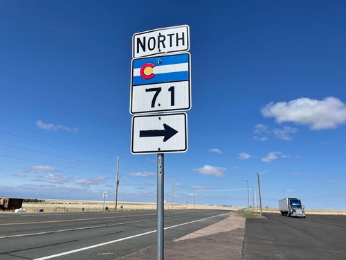
CO-14 West/CO-71 North at CO-71 North

CO-14 West/CO-71 North at CO-71 North

CO-14 West/CO-71 North at CO-71 North. Turn right on CO-71 north for Kimball (Nebraska). Continue west on CO-14 for Ault.
CO-14 West - Pawnee National Grasslands

CO-14 West - Pawnee National Grasslands

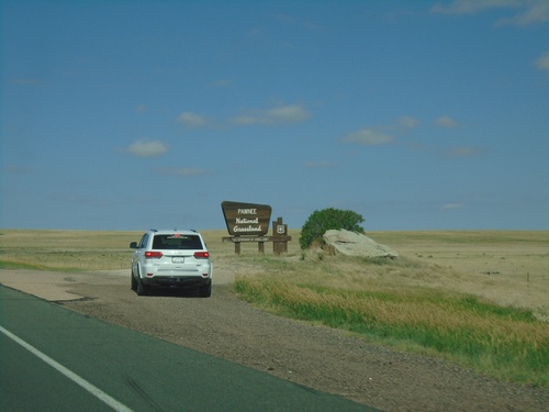
Entering Pawnee National Grasslands on CO-14 West.

CO-14 West - Weld County

CO-14 West - Weld County

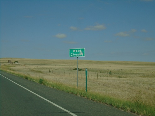
Entering Weld County on CO-14 west.

CO-14 West/CO-71 North at CO-14/CO-71 Split

CO-14 West/CO-71 North at CO-14/CO-71 Split

CO-14 West/CO-71 North at CO-14/CO-71 Split in Weld County. Turn right to continue north on CO-71.
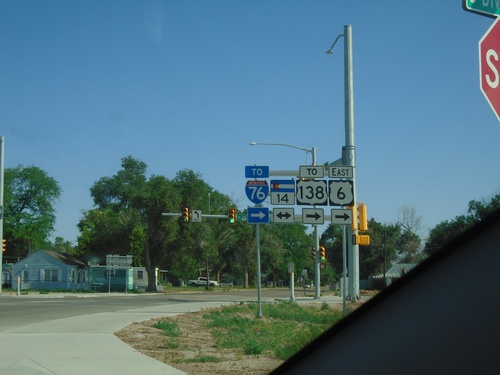
CO-14 West - Distance Marker

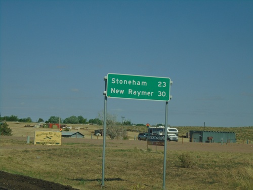
CO-14 West - Distance Marker

Distance marker on CO-14 west. Distance to Stoneham and New Raymer.

CO-14 West - Distance Marker

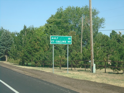
CO-14 West - Distance Marker

Distance marker on CO-14 west. Distance to Ault and Fort Collins.

BL-76/US-6 East at CO-14

BL-76/US-6 East at CO-14

BL-76/US-6 East at CO-14 in Sterling. Turn left for CO-14 West; right for BL-76/US-6/CO-14 East To US-138/To I-76.
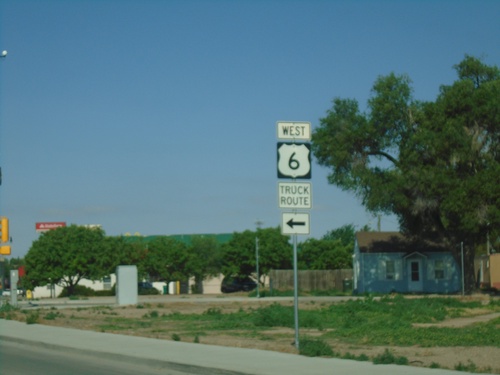
BL-76/US-6/CO-14 West at BL-76/US-6 and CO-14 Split

BL-76/US-6/CO-14 West at BL-76/US-6 and CO-14 Split

BL-76/US-6/CO-14 West at BL-76/US-6 and CO-14 Split in Sterling.
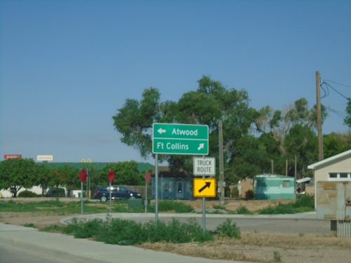
BL-76/US-6/CO-14 West Approaching BL-76/US-6 and CO-14 Split

BL-76/US-6/CO-14 West Approaching BL-76/US-6 and CO-14 Split

BL-76/US-6/CO-14 West Approaching BL-76/US-6 and CO-14 Split in Sterling. Continue on CO-14 West to Fort Collins; BL-76/US-6 West to Atwood.
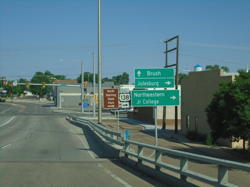
BL-76/US-6 West at CO-14 and US-138

BL-76/US-6 West at CO-14 and US-138

BL-76/US-6 West at CO-14 and US-138 in Sterling. Turn right for US-138 East to Julesburg. Continue straight for BL-76/US-6/CO-14 East to Brush. Both CO-14 and US-138 begin at this intersection.
BL-76/US-6 West at Front St

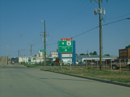
BL-76/US-6 West at Front St

BL-76/US-6 West at Front St ramp in Sterling.

BL-76/US-6 West - To US-138/CO-14

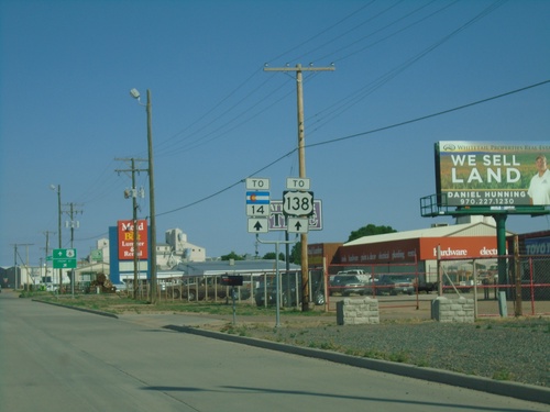
BL-76/US-6 West - To US-138/CO-14

BL-76/US-6 West - To US-138/CO-14 in Sterling.

BL-76/US-6 West - Sterling

BL-76/US-6 West - Sterling

(BL-76)/US-6 West/To US-138/To CO-14 in Sterling

US-6 West at I-76

US-6 West at I-76

US-6 West at I-76 (Exit 125) in Sterling.

US-6 West at CO-61 South.  Approaching I-76

US-6 West at CO-61 South. Approaching I-76

US-6 West at CO-61 South and approaching I-76.

US-6 West at CO-61 South

US-6 West at CO-61 South

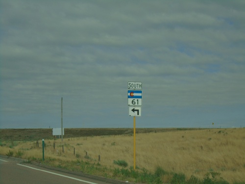
US-6 West at CO-61 South in Sterling

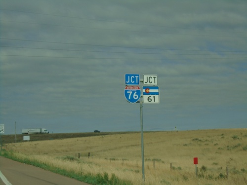
US-6 West Approaching I-76 and CO-61

US-6 West Approaching I-76 and CO-61

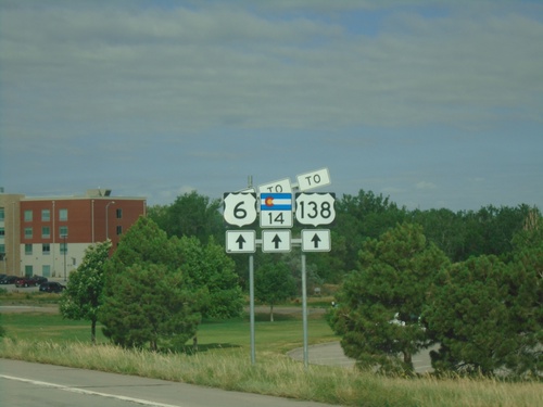
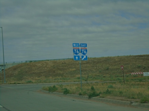
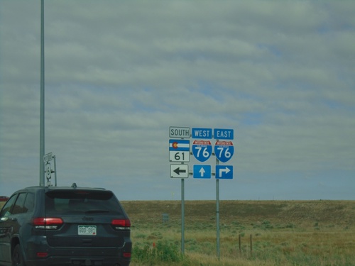
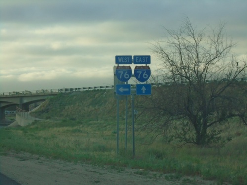
US-6 West approaching I-76 and CO-61. I-76 and CO-61 are signed together on this assembly, but they are at two separate intersections.
US-6 West - Distance Marker

US-6 West - Distance Marker

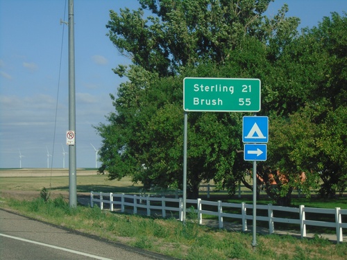
Distance marker on US-6. Distance to Sterling and Brush.

US-6 West - To CO-55

US-6 West - To CO-55

US-6 West approaching Logan Street in Fleming. Use Logan Street north to CO-55.

US-6 West - Logan County

US-6 West - Logan County

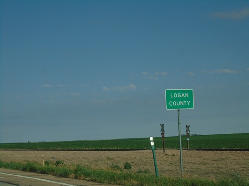
Entering Logan County on US-6 West.

US-6 West at CO-59

US-6 West at CO-59

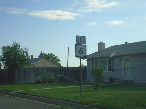
US-6 West at CO-59 in Haxtun. Turn right for Haxtun Municipal Park.

US-6 West Approaching CO-59

US-6 West Approaching CO-59

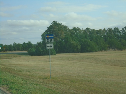
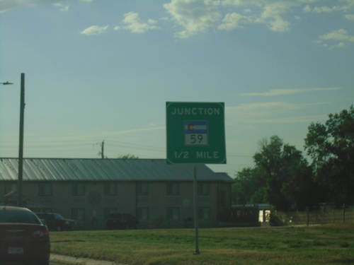
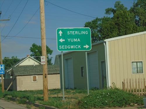
US-6 West approaching CO-59 in Haxtun. Use CO-59 North to Sedgwick; CO-59 South to Yuma. Continue west on US-6 for Sterling.
CO-59 North at US-6

CO-59 North at US-6

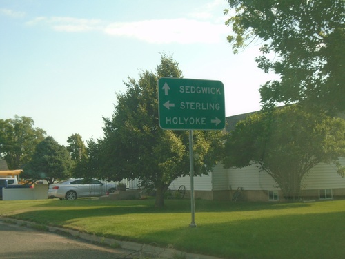
CO-59 North at US-6 in Haxtun. Use US-6 West for Sterling; US-6 East for Holyoke. Continue north on CO-59 for Sedgwick.
CO-59 North Approaching US-6

CO-59 North Approaching US-6

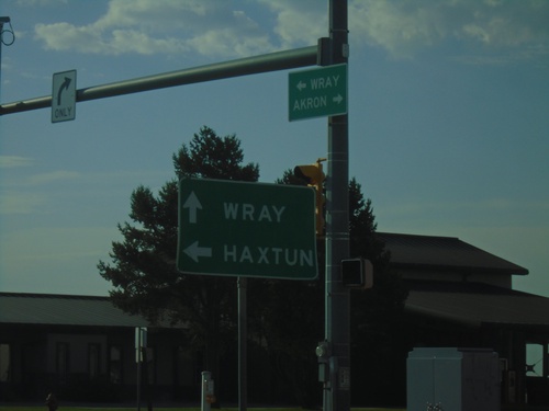
CO-59 North approaching US-6 in Haxtun.

CO-59 North - Haxtun

CO-59 North - Haxtun

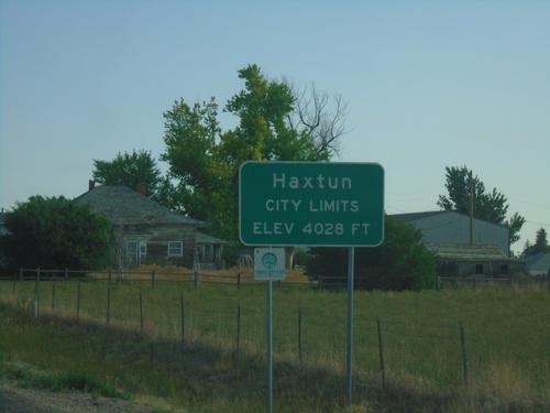
Entering Haxtun on CO-59 north. Elevation 4028 Feet.

CO-59 North - Phillips County

CO-59 North - Phillips County

Entering Phillips County on CO-59 North.

CO-59 North - Yuma County

CO-59 North - Yuma County

CO-59 North in Yuma County approaching sharp turn.

CO-59 North - Distance Marker

CO-59 North - Distance Marker

Distance marker on CO-59 north. Distance to Haxtun.

US-34 East at CO-59

US-34 East at CO-59

US-34 East at CO-59 in Yuma. Use CO-59 North to Haxtun. Continue east on US-34 for Wray.
US-34 East Approaching CO-59

US-34 East Approaching CO-59

US-34 East approaching CO-59 in Yuma

US-34 East - Yuma

US-34 East - Yuma

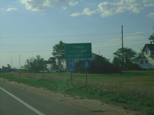
Entering Yuma on US-34 East. Elevation 4132 Feet.

US-34 East - Yuma County

US-34 East - Yuma County

Entering Yuma County on US-34 East.

US-34 East - Distance Marker

US-34 East - Distance Marker

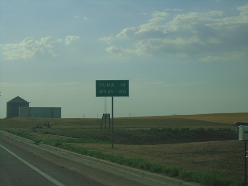
Distance marker on US-34 east. Distance to Yuma and Wray.

US-34 East at CO-61 North

US-34 East at CO-61 North

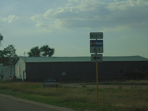
US-34 East at CO-61 North in Otis.

US-34 East - Otis

US-34 East - Otis

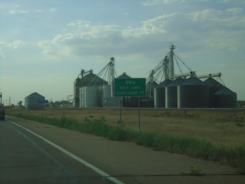
Entering Otis on US-34 East. Elevation 4335 Feet.

US-34 East at CO-63

US-34 East at CO-63

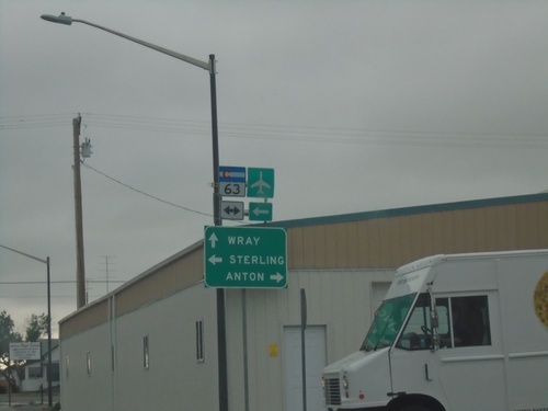
US-34 East at CO-63 in Akron. Use CO-63 North to Sterling; use CO-63 South to Anton. Continue east on US-34 to Wray.
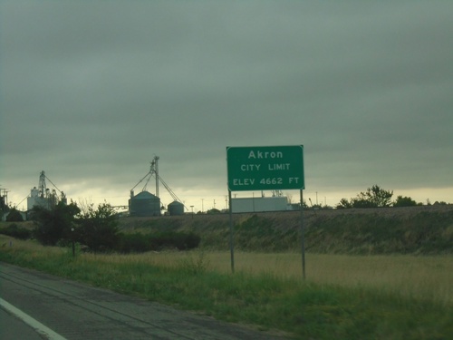
US-34 East - Akron

US-34 East - Akron

Entering Akron on US-34 East. Akron is the county seat of Washington County, Colorado. Elevation 4662 Feet.
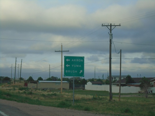
US-34 East - Washington County

US-34 East - Washington County

Entering Washington County on US-34 East

BL-76 West at US-34

BL-76 West at US-34

BL-76 West at US-34. Use US-34 east to Akron and Yuma; BL-76/US-34 West to Brush.
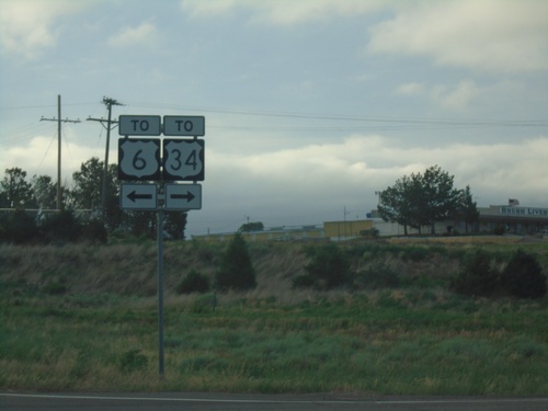
BL-76 West at US-34 - Morgan County

BL-76 West at US-34 - Morgan County

BL-76 West at US-34 in Morgan County

BL-76 West/To US-34

BL-76 West/To US-34

BL-76 West/To US-34 in Morgan County.

I-76 East Exit 92 Offramp at BL-76/US-6/To US-34

I-76 East Exit 92 Offramp at BL-76/US-6/To US-34

I-76 East Exit 92 offramp at BL-76/US-6/To US-34 in Morgan County. Turn left for BL-76/US-6 East; right for BL-76 West/To US-34. The sign incorrectly shows To US-6, instead of just US-6.
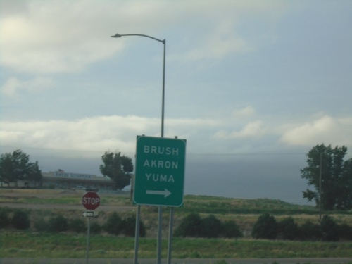
I-76 East - Exit 92 Offramp at BL-76/US-6

I-76 East - Exit 92 Offramp at BL-76/US-6

I-76 East - Exit 92 Offramp at BL-76/US-6 in Morgan County. Turn left for BL-76/US-6 East; right for BL-76 West to Brush, Akron, and Yuma.
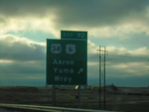
I-76 East - Exit 92

I-76 East - Exit 92

I-76 east at Exit 92 - (To)US-34/US-6/Yuma/Wray/Akron. US-6 leaves I-76 eastbound here.
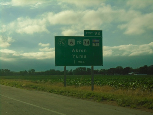
I-76 East - Exit 92

I-76 East - Exit 92

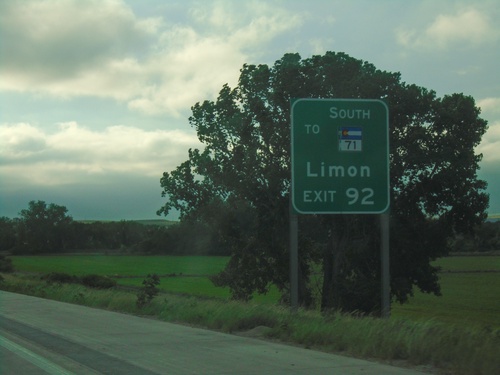
I-76 east approaching Exit 92. Use Exit 92 for CO-71 South to Limon.

I-76 East - Exit 92

I-76 East - Exit 92

I-76 east approaching Exit 92 - BL-76/US-6/To US-34/To CO-71/Akron/Yuma. US-6 east leaves I-76 eastbound at Exit 92.
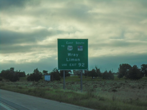
I-76 East - Exit 90

I-76 East - Exit 90

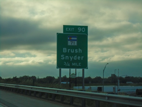
I-76 east approaching CO-71/Brush/Snyder.

I-76 East - US-34 East and CO-71 South Traffic - Use Exit 92

I-76 East - US-34 East and CO-71 South Traffic - Use Exit 92

I-76 East - US-34 East to Wray and CO-71 South to Limon Traffic - Use Exit 92.
I-76 East - Exit 89

I-76 East - Exit 89

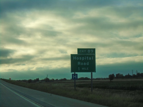
I-76 east approaching Exit 89 - Hospital Road.

I-76 East - Exit 86

I-76 East - Exit 86

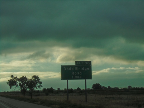
I-76 east approaching Exit 86 - Dodd Bridge Road.

I-76 East - Exit 82

I-76 East - Exit 82

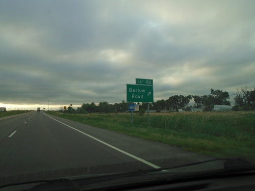
I-76 east at Exit 82 - Barlow Road.

CO-52 North at I-76

CO-52 North at I-76

CO-52 North at I-76 (Exit 80) in Fort Morgan.

I-76 East - Exit 80 Offramp at CO-52

I-76 East - Exit 80 Offramp at CO-52

I-76 East - Exit 80 offramp at CO-52 in Fort Morgan.

I-76 East - Exit 80 Offramp at CO-52

I-76 East - Exit 80 Offramp at CO-52

I-76 East - Exit 80 offramp at CO-52 in Fort Morgan. Turn right for Fort Morgan; left for New Raymer.
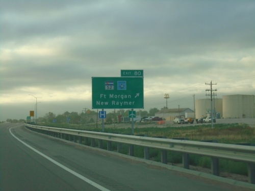
I-76 East - Exit 80

I-76 East - Exit 80

I-76 east at Exit 80 - CO-52/Fort Morgan/New Raymer. CO-52 East is part of the Pawnee Pioneer Trails scenic byway.
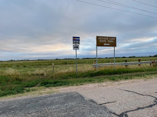
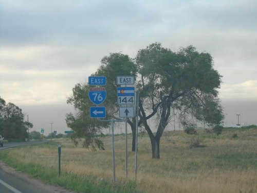
CO-144 East at I-76 East

CO-144 East at I-76 East

CO-144 East at I-76 East in Log Lane Village.

CO-144 East Approaching I-76

CO-144 East Approaching I-76

CO-144 East approaching I-76 in Log Lane Village

CO-144 East - Distance Marker

CO-144 East - Distance Marker

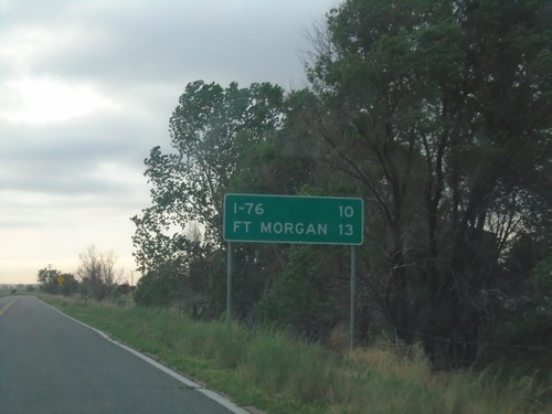
Distance marker on CO-144 East. Distance to I-76 and Fort Morgan.

CO-144 East - Jackson Lake State Park Jct.

CO-144 East - Jackson Lake State Park Jct.

CO-144 East at Jackson Lake State Park Jct. Turn right to continue east on CO-144.
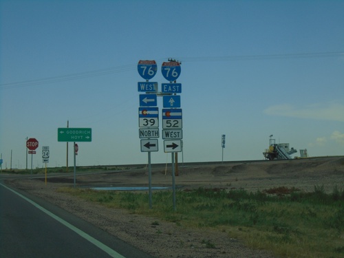
US-6 East at CO-52/CO-39

US-6 East at CO-52/CO-39

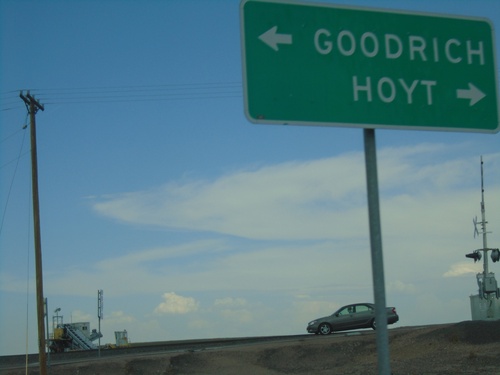
US-6 East at CO-52 West to Hoyt and CO-39 North to Goodrich.

US-6 East at CO-39/CO-52

US-6 East at CO-39/CO-52

US-6 East at CO-39/CO-52 in Morgan County. Turn right for CO-52 West; left for CO-39 North to I-76 West. Continue east on US-6 for I-76 East.
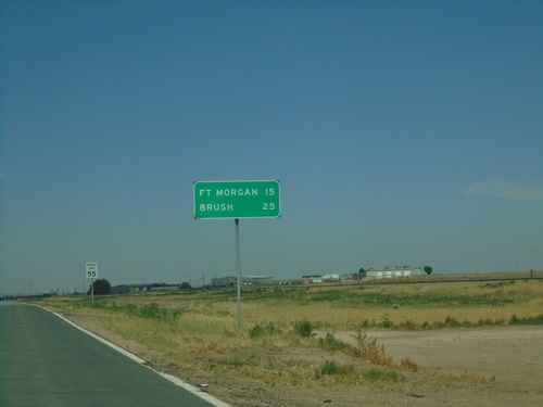
US-6 East - Distance Marker

US-6 East - Distance Marker

Distance marker on US-6 east, leaving Wiggins. Distance to Fort Morgan and Brush.
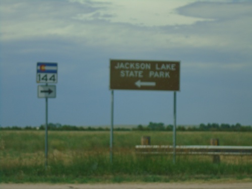
CO-144 East - Jackson Lake State Park Jct.

CO-144 East - Jackson Lake State Park Jct.

CO-144 East at Jackson Lake State Park Jct. Turn right to continue east on CO-144.
CO-144 East - Distance Marker

CO-144 East - Distance Marker

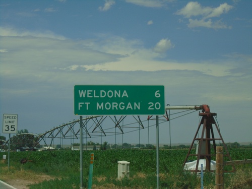
Distance marker on CO-144 east. Distance to Weldona and Fort Morgan.

CO-144 West - Distance Marker

CO-144 West - Distance Marker

Distance marker on CO-144 west. Distance to Orchard and Jct. US-34.

CO-39 North - Morgan County

CO-39 North - Morgan County

CO-39 North in Morgan County

CO-39 North at US-34 West

CO-39 North at US-34 West

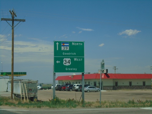
CO-39 North at US-34 West to Greeley. Continue north on CO-39 to Goodrich.

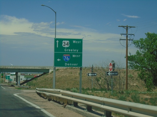
CO-39 North at I-76 West.  Approaching US-34 West

CO-39 North at I-76 West. Approaching US-34 West

CO-39 North at I-76 West to Denver. Approaching US-34 West to Greeley.
CO-39/To I-76 East

CO-39/To I-76 East

To I-76 East (via CO-39) in Morgan County.

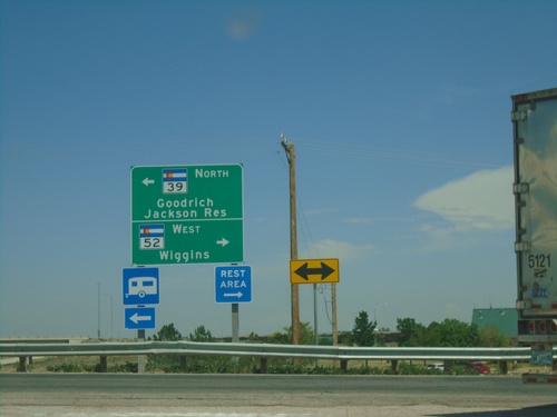
I-76 East - Exit 66A Offramp at CO-39/CO-52

I-76 East - Exit 66A Offramp at CO-39/CO-52

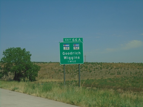
I-76 East - Exit 66A Offramp at CO-39/CO-52. Turn left for CO-39 North to Goodrich and Jackson Reservoir. Turn right for CO-52 West to Wiggins.
I-76 East - Exit 66A

I-76 East - Exit 66A

I-76 east approaching Exit 66A - CO-52/CO-39/Goodrich/Wiggins

I-76 East - Morgan County

I-76 East - Morgan County

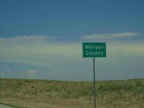
Morgan County on I-76 east.

I-76 East - Exit 60

I-76 East - Exit 60

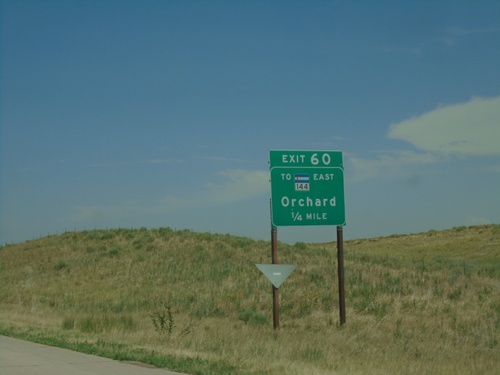
I-76 east approaching Exit 60 - To CO-144 East/Orchard.

I-76 East - Exit 57

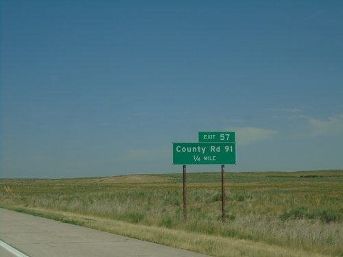
I-76 East - Exit 57

I-76 east approaching Exit 57 - County Road 91

I-76 East - Exit 48

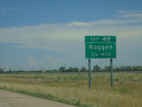
I-76 East - Exit 48

I-76 east approaching Exit 48 - Roggen

I-76 East - Exit 39

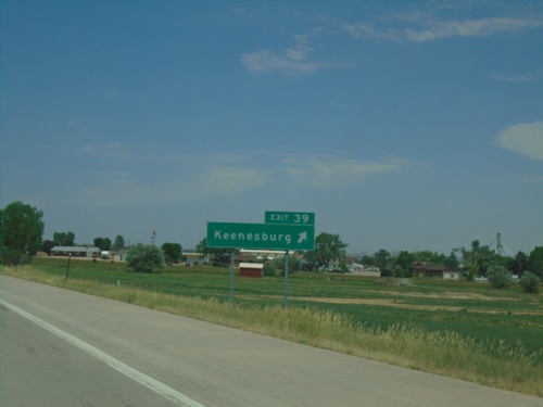
I-76 East - Exit 39

I-76 east at Exit 39 - Keenesburg

I-76 East - Exit 34

I-76 East - Exit 34

I-76 approaching Exit 34 - Kersey Road.

I-76 East - Exit 31

I-76 East - Exit 31

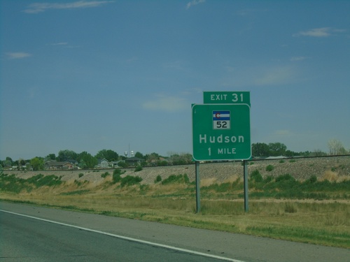
I-76 east approaching Exit 31 - CO-52/Hudson

I-76 East - Weld County

I-76 East - Weld County

Entering Weld County on I-76 East.

I-76 East - Exit 25

I-76 East - Exit 25

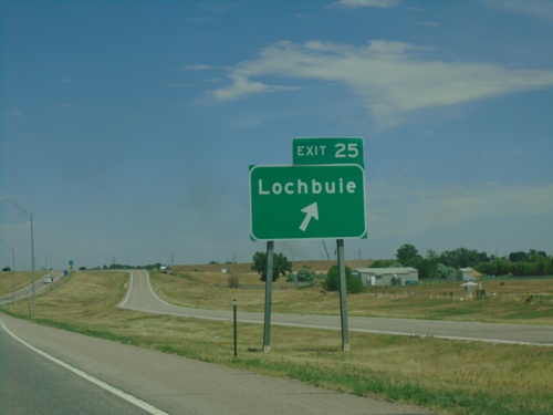
I-76 east approaching Exit 25 - Lochbuie.

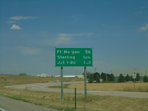
I-76 East - Distance Marker

I-76 East - Distance Marker

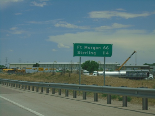
Distance marker on I-76 east. Distance to Fort Morgan, Sterling, and I-80 (in Nebraska).
I-76 East - Exit 22

I-76 East - Exit 22

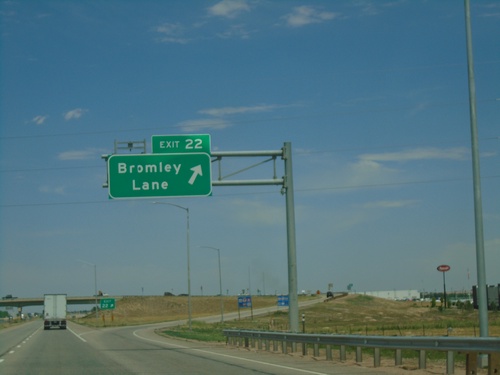
I-76 east at Exit 22 - Bromley Lane.

I-76 East - Exit 21

I-76 East - Exit 21

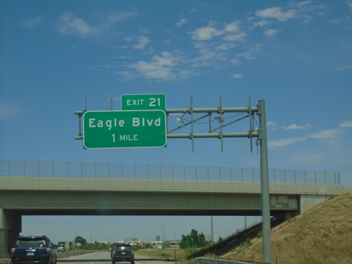
I-76 east approaching Exit 21 - Eagle Blvd

I-76 East - Exit 20

I-76 East - Exit 20

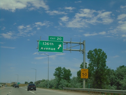
I-76 east at Exit 20 - 136th Ave.

I-76 East - Exit 16

I-76 East - Exit 16

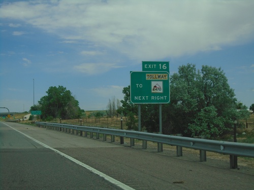
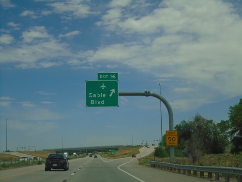
I-76 east at Exit 16 - Sable Blvd. Use Exit 16 for the Denver International Airport.
I-76 East - Exit 16

I-76 East - Exit 16

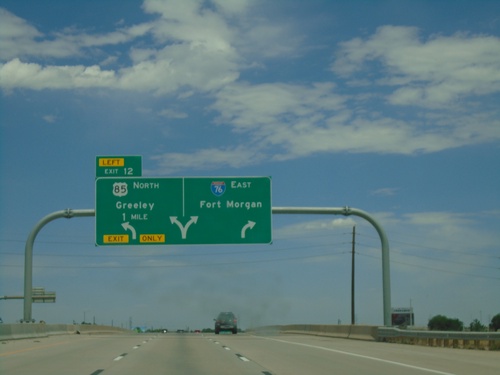
I-76 east approaching Exit 16. Use Exit 16 for E-470/Tollway.

I-76 East - Distance Marker

I-76 East - Distance Marker

Distance marker on I-76 east. Distance to Fort Morgan and Sterling.

I-76 East - Exit 12

I-76 East - Exit 12

I-76 east approaching Exit 12 - US-85 North/Greeley. Use right lanes to continue east on I-76 to Fort Morgan.
I-76 East - Exit 12

I-76 East - Exit 12

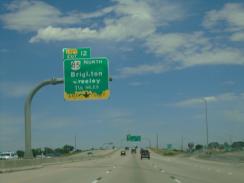
I-76 east approaching Exit 12 - US-85 North/Brighton/Greeley. Exit 12 is a left exit. US-85 north leaves I-76/US-6 Eastbound.
I-76 East - Exit 11

I-76 East - Exit 11

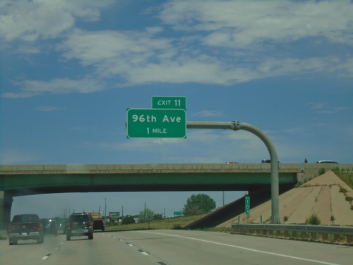
I-76 east approaching Exit 11 - 96th Ave.

I-76 East - Exit 10

I-76 East - Exit 10

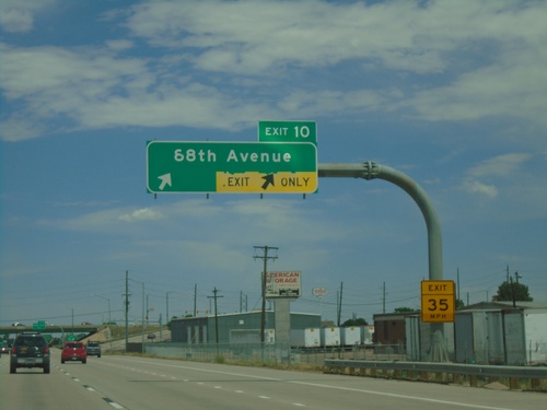
I-76 east approaching Exit 10 - 88th Ave.

I-76 East - Exit 8

I-76 East - Exit 8

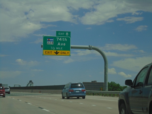
I-76 east approaching Exit 8 - CO-224/74th Ave.

I-76 East - Exit 6

I-76 East - Exit 6

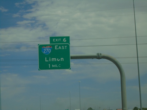
I-76 east at Exit 6 - I-270 East/Limon. Continue east on I-76 for Fort Morgan.

I-76 East - Exit 6

I-76 East - Exit 6

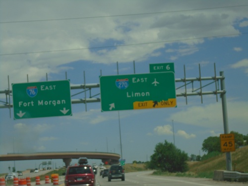
I-76 east approaching Exit 6 - I-270 East/Limon.

I-76 East - Exit 5

I-76 East - Exit 5

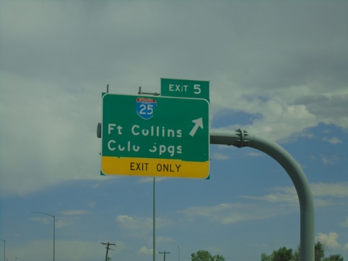
I-76 east at Exit 5 - I-25/Fort Collins/Colorado Springs.

I-76 East - Exit 4

I-76 East - Exit 4

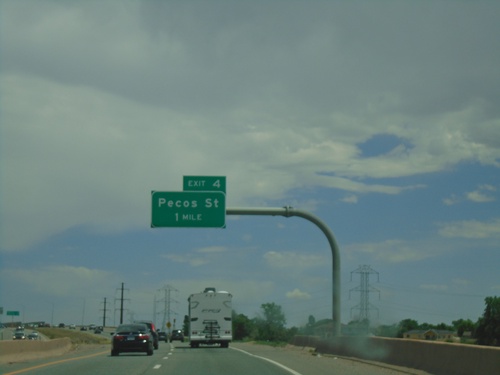
I-76 east approaching Exit 4 - Pecos St.

I-76 East - Exit 1B

I-76 East - Exit 1B

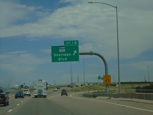
I-76 east at Exit 1B - CO-95/Sheridan Blvd.

I-76 East - Arvada

I-76 East - Arvada

I-76 east in Arvada. This is the first I-76 shield eastbound.

I-70 East - Exit 269B

I-70 East - Exit 269B

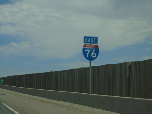
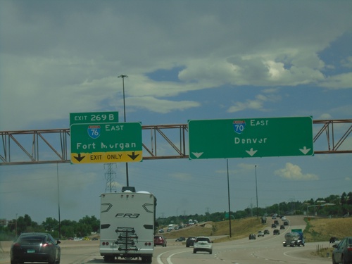
I-70 east at Exit 269B - I-76 East/Fort Morgan. Continue on I-70 East to Denver. This is the beginning of I-76 eastbound.
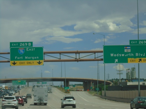
I-70 East - Exit 269B

I-70 East - Exit 269B

I-70 east at Exit 269A - CO-121/Wadsworth Blvd. Approaching Exit 269B - I-76 East/Fort Morgan. This is the western end of I-76.
I-70 East - Exit 267

I-70 East - Exit 267

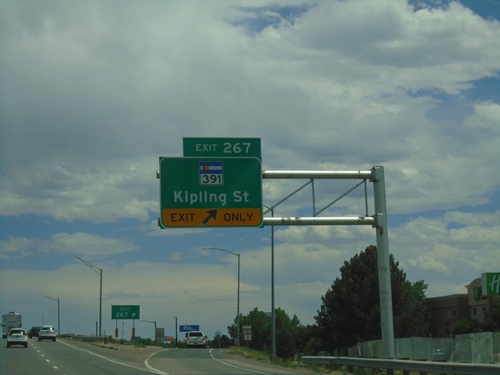
I-70 east at Exit 267 - CO-391/Kipling St.

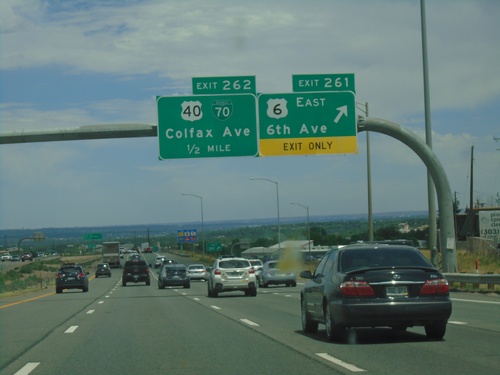
I-70 East - Exits 261 and 262

I-70 East - Exits 261 and 262

I-70 East at Exit 261 - US-6 East/6th Ave. Approaching Exit 262 - BL-70/US-40/Colfax Ave.
I-70 East - Exit 260

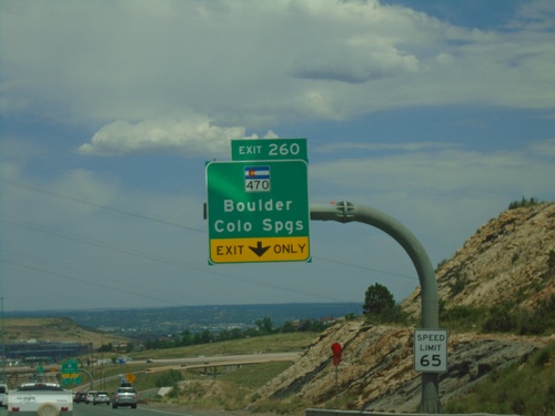
I-70 East - Exit 260

I-70 east at Exit 260 - CO-470/Boulder/Colorado Springs.

I-70 East - Exit 260

I-70 East - Exit 260

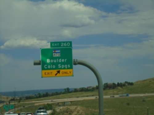
I-70 east approaching Exit 260 - CO-470/Boulder/Colorado Springs. CO-470 is part of the beltway around the Denver area.
I-70 East - Exit 232

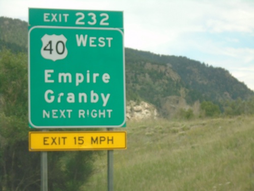
I-70 East - Exit 232

I-70 east at Exit 232 - US-40 West/Empire/Granby. US-40 east joins I-70/US-6 eastbound.
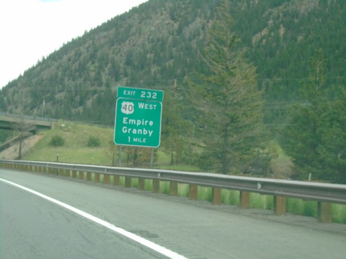
I-70 East - Exit 232

I-70 East - Exit 232

I-70 east approaching Exit 232 - US-40 West/Empire/Granby. US-40 east joins I-70 east to Golden.
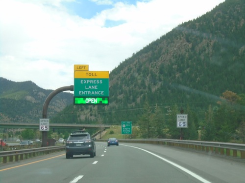
I-70 East - Express Toll Lanes

I-70 East - Express Toll Lanes

I-70 East approaching entrance Express Toll Lanes. This lane is the left most lane and runs to US-6 junction above Golden.
I-70 East - Exit 226

I-70 East - Exit 226

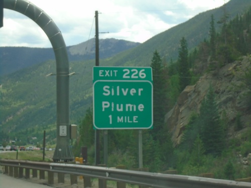
I-70 east approaching Exit 226 - Silver Plume.

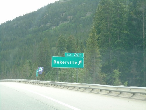
I-70 East - Exit 221

I-70 East - Exit 221

I-70 east at Exit 221 - Bakerville

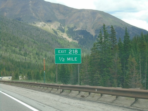
I-70 East - Exit 218

I-70 East - Exit 218

I-70 east approaching Exit 218

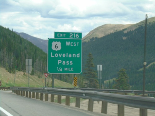
I-70 East - Exit 216

I-70 East - Exit 216

I-70 east approaching Exit 216 - US-6 West/Loveland Pass. US-6 East joins I-70 East through Idaho Springs.
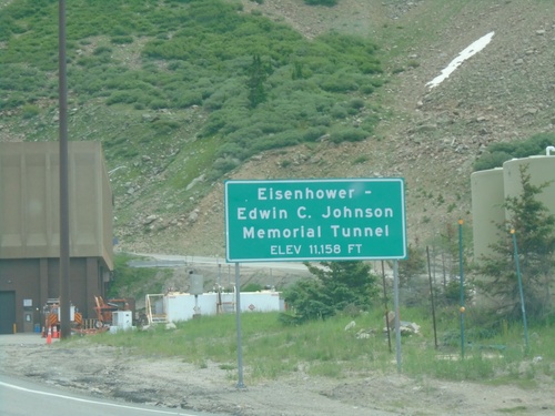
I-70 East - Eisenhower Tunnel

I-70 East - Eisenhower Tunnel

I-70 East - Eisenhower-Edwin C. Johnson Memorial Tunnel. Elevation 11,158 Feet.
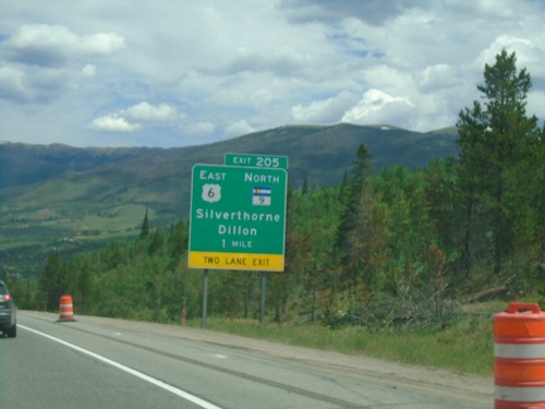
I-70 East - Exit 205

I-70 East - Exit 205

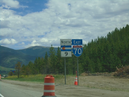
I-70/US-6 East/CO-9 North at Exit 205 - US-6 East/CO-9 North/Silverthorne/Dillon. US-6 East and CO-9 North leave I-70 eastbound here.
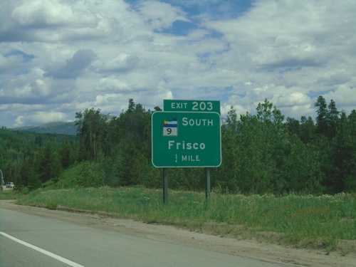
I-70 East/CO-9 North - Frisco

I-70 East/CO-9 North - Frisco

I-70 East/CO-9 North in Frisco

I-70 East - Exit 203

I-70 East - Exit 203

I-70 east approaching Exit 203 - CO-9 South/Frisco. CO-9 North joins I-70/US-6 Eastbound.
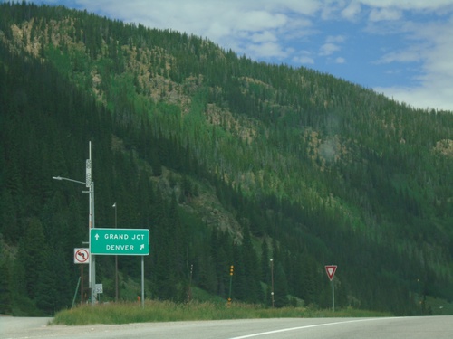
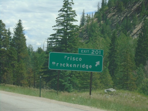
I-70 East - Exit 201

I-70 East - Exit 201

I-70 east at Exit 201 - Frisco/Breckenridge

I-70 East - Exit 198

I-70 East - Exit 198

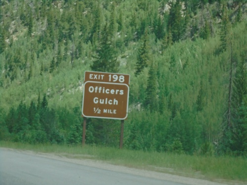
I-70 east approaching Exit 198 - Officers Gulch.

End CO-91 North at I-70/US-6

End CO-91 North at I-70/US-6

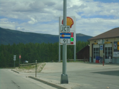
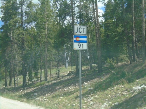
End CO-91 North at I-70/US-6 (Exit 195) in Summit County. Use I-70/US-6 West to Grand Junction; I-70/US-6 East to Denver.
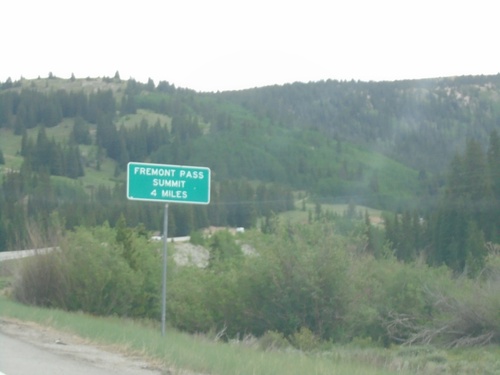
CO-91 North - Fremont Pass Summit - 4 Miles

CO-91 North - Fremont Pass Summit - 4 Miles

CO-91 North - Fremont Pass Summit - 4 Miles in Lake County.
US-24 West Approaching CO-91

US-24 West Approaching CO-91

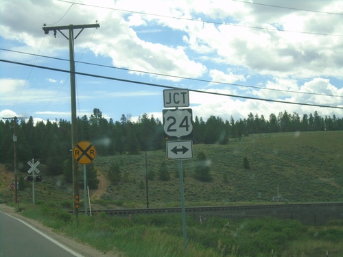
US-24 West approaching CO-91 in Leadville.

US-24 West/To CO-91/To I-70 - Leadville

US-24 West/To CO-91/To I-70 - Leadville

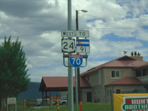
US-24 West/To CO-91/To I-70 in Leadville

End CO-300 West at US-24

End CO-300 West at US-24

End CO-300 West at US-24 in Lake County.

CO-300 West Approaching US-24

CO-300 West Approaching US-24

CO-300 West approaching US-24 in Lake County.

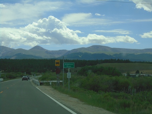
CO-300 East - Arkansas River

CO-300 East - Arkansas River

CO-300 east crossing the Arkansas River. This is near the headwaters of the Arkansas River. The Mosquito Range is in the background.
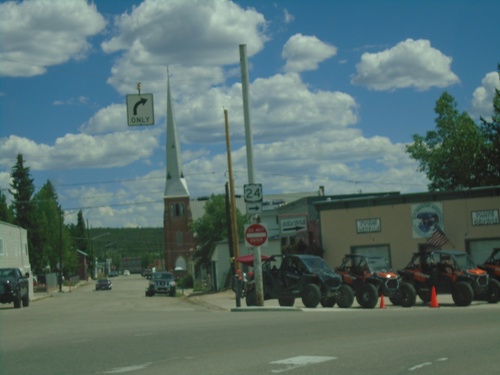
US-24 East - Leadville

US-24 East - Leadville

US-24 east - Poplar St. at E 9th St. in Leadville. Turn right on E 9th St. to continue east on US-24.
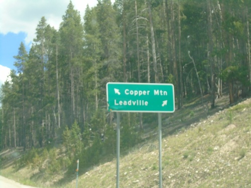
US-24 East at CO-91 North

US-24 East at CO-91 North

US-24 East at CO-91 North in Leadville. Use CO-91 north to Copper Mountain; US-24 East to Leadville.
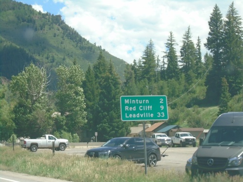
US-24 East Approaching CO-91

US-24 East Approaching CO-91

US-24 East approaching CO-91 in Leadville.

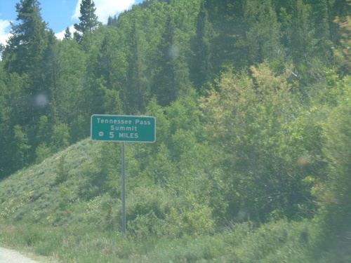
US-24 East - Tennessee Pass Summit 5 Miles

US-24 East - Tennessee Pass Summit 5 Miles

US-24 East - Tennessee Pass Summit - 5 Miles.

US-24 East - Distance Marker

US-24 East - Distance Marker

Distance marker on US-24 east. Distance to Minturn, Red Cliff, and Leadville. This is the first distance marker eastbound on US-24.
I-70 East Exit 171 Offramp at US-24/US-6

I-70 East Exit 171 Offramp at US-24/US-6

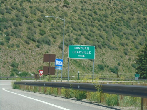
I-70 East Exit 171 offramp at US-24/US-6. Turn right for US-24 East to Leadville and Minturn. Turn left for US-6 West.
I-70 East - Exit 171

I-70 East - Exit 171

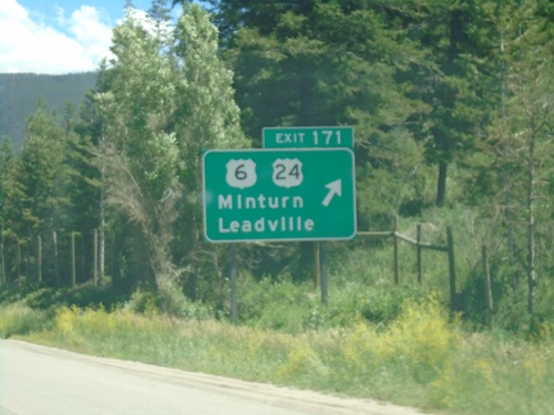
I-70 east at US-6/US-24/Minturn/Leadville. This is the western beginning of US-24.
I-70 East - Exit 171

I-70 East - Exit 171

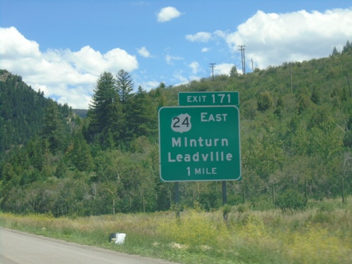
I-70 east approaching Exit 171 - US-24 East/Minturn/Leadville.

I-70 East - Exit 168

I-70 East - Exit 168

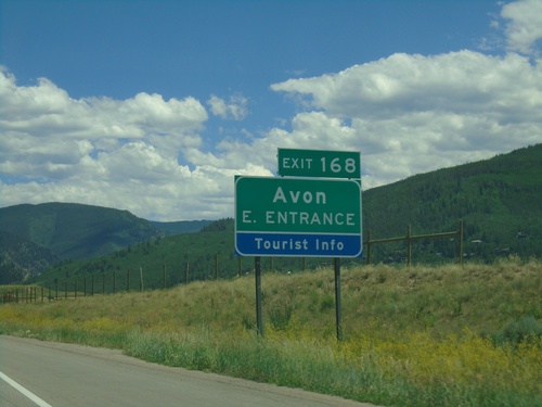
I-70 east at Exit 168 - Avon East Entrance

I-70 East - Exit 167

I-70 East - Exit 167

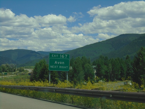
I-70 east at Exit 167 - Avon

I-70 East - Exit 163

I-70 East - Exit 163

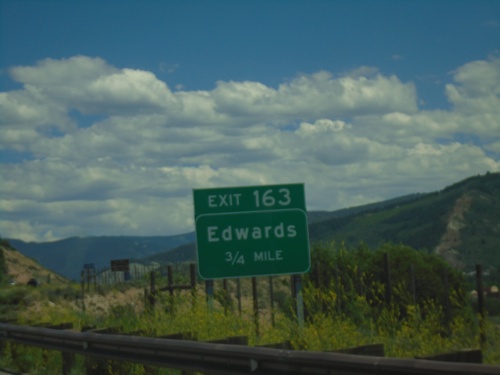
I-70 east approaching Exit 163 - Edwards

I-70 East - Exit 157

I-70 East - Exit 157

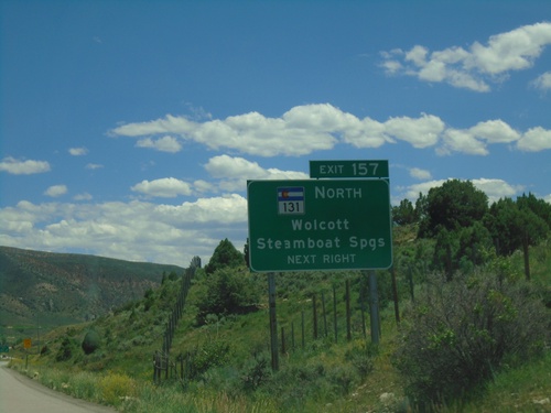
I-70 east at Exit 157 - CO-131 North/Wolcott/Steamboat Springs.

I-70 East - Exit 157

I-70 East - Exit 157

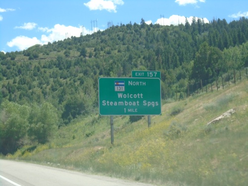
I-70 east approaching Exit 157 - CO-131 North/Wolcott/Steamboat Springs.

I-70 East - Exit 147

I-70 East - Exit 147

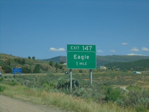
I-70 east approaching Exit 147 - Eagle

I-70 East - Exit 140

I-70 East - Exit 140

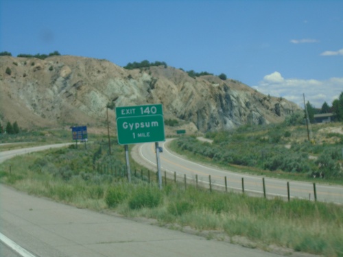
I-70 east approaching Exit 140 - Gypsum

I-70 East - Exit 133

I-70 East - Exit 133

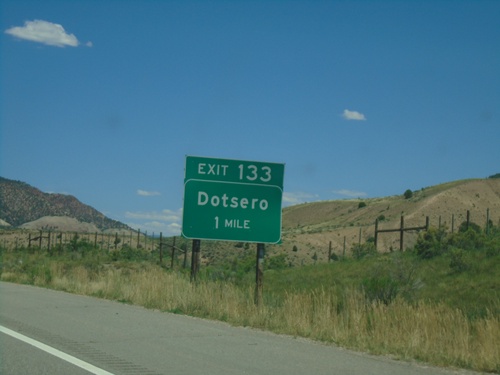
I-70 east approaching Exit 133 - Dotsero.

I-70 East - Eagle County

I-70 East - Eagle County

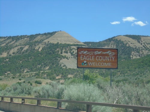
Entering Eagle County on I-70 East.

I-70 East - Exit 129

I-70 East - Exit 129

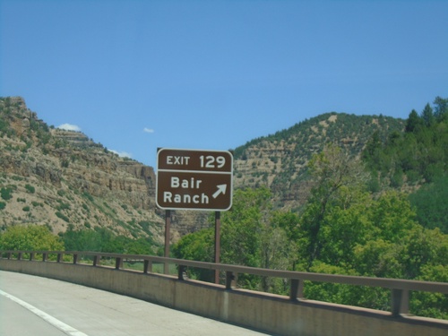
I-70 east at Exit 129 - Bair Ranch

I-70 East - Exit 125

I-70 East - Exit 125

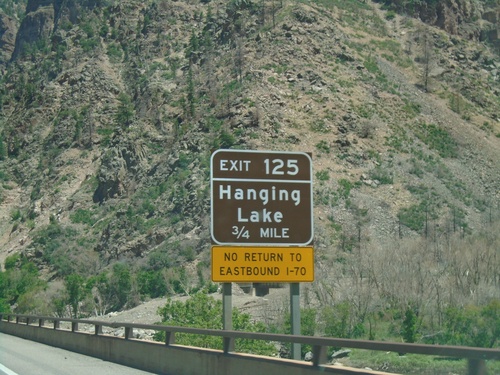
I-70 east approaching Exit 125 - Hanging Lake

I-70 East - Exit 121

I-70 East - Exit 121

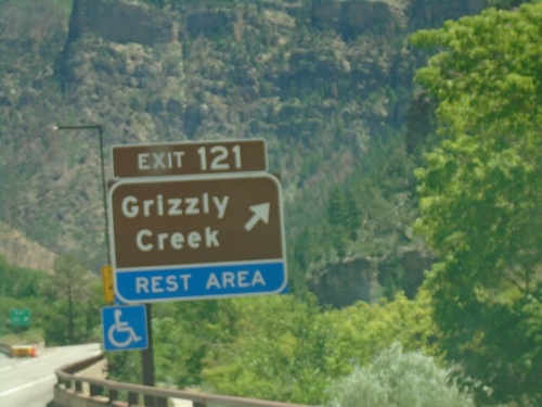
I-70 east approaching Exit 121 - Grizzly Creek and Rest Area.

I-70 East - Exit 119

I-70 East - Exit 119

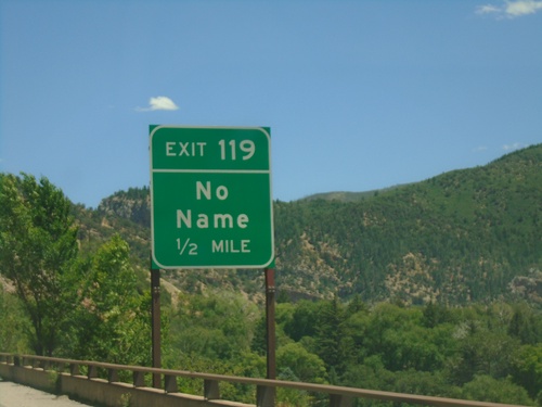
I-70 east approaching Exit 119 - No Name

I-70 East - Exit 116

I-70 East - Exit 116

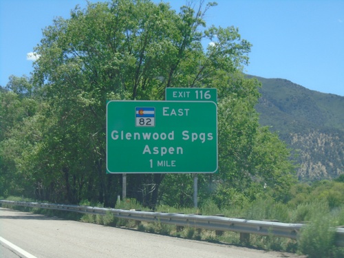
I-70 east approaching Exit 116 - CO-82 East/Glenwood Springs/Aspen.

I-70 East - Exit 114

I-70 East - Exit 114

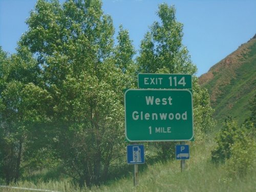
I-70 east approaching Exit 114 - West Glenwood. This is the west entrance to Glenwood Springs.
I-70 East - Exit 111

I-70 East - Exit 111

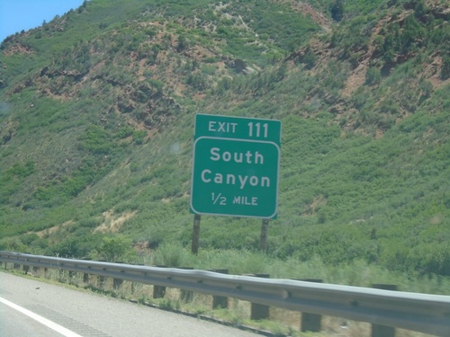
I-70 east approaching Exit 111 - South Canyon.

I-70 East - Exit 109

I-70 East - Exit 109

I-70 east at Exit 109 - Canyon Creek.

I-70 East - Exit 105

I-70 East - Exit 105

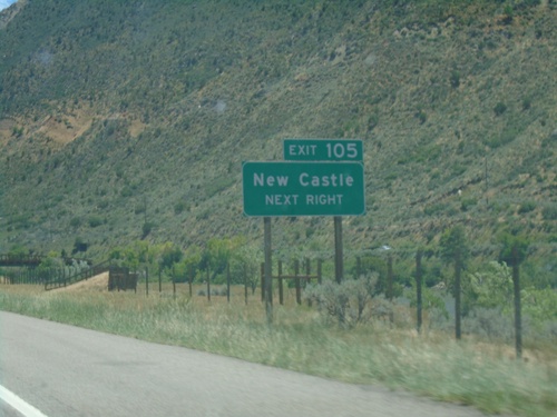
I-70 east at Exit 105 - New Castle.

I-70 East - Exit 97

I-70 East - Exit 97

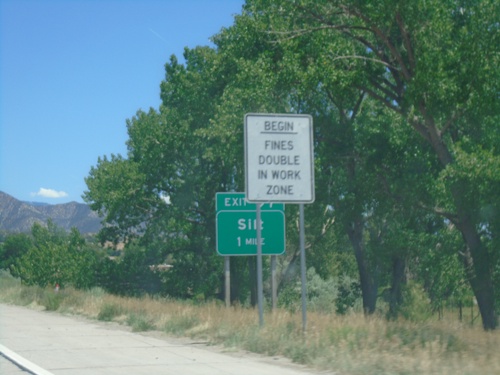
I-70 east approaching Exit 97 - Silt.

I-70 East - Exit 94

I-70 East - Exit 94

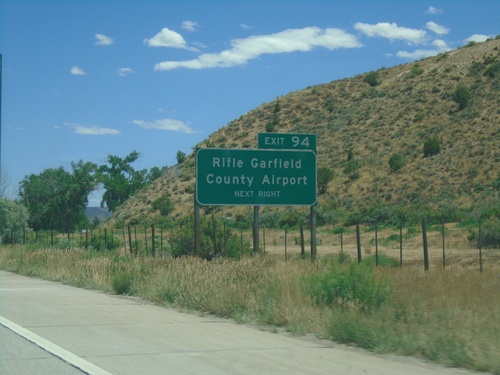
I-70 east approaching Exit 94 - Rifle Garfield County Airport.

I-70 East - Exit 90

I-70 East - Exit 90

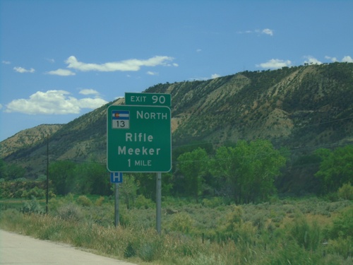
I-70 east approaching Exit 90 - CO-13 North/Rifle/Meeker.

I-70 East - Exit 87

I-70 East - Exit 87

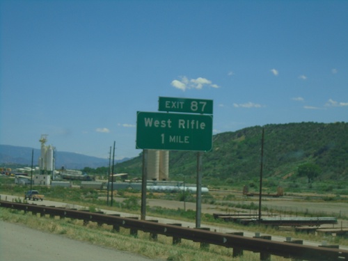
I-70 East approaching Exit 87 - West Rifle

I-70 East - Exit 81

I-70 East - Exit 81

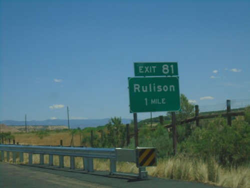
I-70 east approaching Exit 81 - Rulison

I-70 East - Exit 74

I-70 East - Exit 74

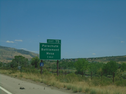
I-70 east approaching Exit 74 - Parachute/Battlement Mesa

I-70 East - Exit 72

I-70 East - Exit 72

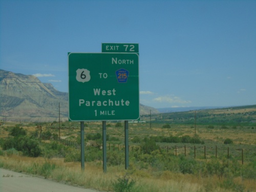
I-70 east approaching Exit 72 - US-6/To CH-215 North/West Parachute.

I-70 East - Garfield County

I-70 East - Garfield County

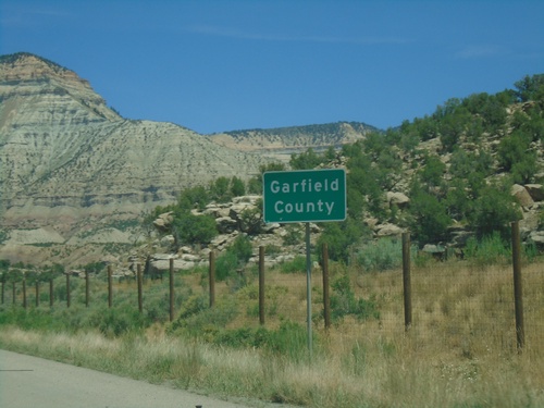
Entering Garfield County on I-70 east.

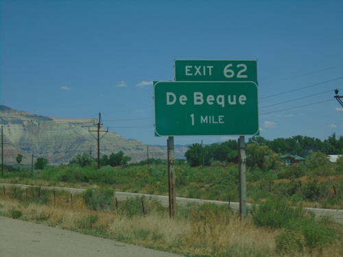
I-70 East - Exit 62

I-70 East - Exit 62

I-70 east approaching Exit 62 - De Beque

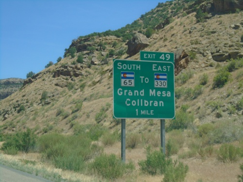
I-70 East - Exit 49

I-70 East - Exit 49

I-70 east approaching Exit 49 - CO-65 South/To CO-330 East/Grand Mesa/Colbran.

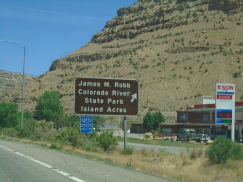
I-70 East - Exit 47

I-70 East - Exit 47

I-70 East (Exit 47) - James M Robb Colorado River State Park - Island Acres

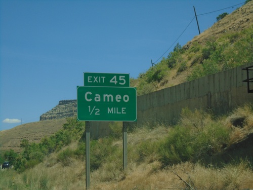
I-70 East - Exit 45

I-70 East - Exit 45

I-70 east approaching Exit 45 - Cameo

I-70 East - Exit 42

I-70 East - Exit 42

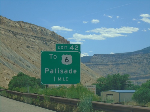
I-70 east approaching Exit 42 - To US-6/Palisade.

I-70 East - Exit 37

I-70 East - Exit 37

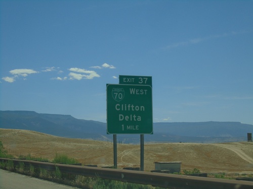
I-70 east approaching Exit 37 - BL-70/Clifton/Delta. This is the eastern end of the Grand Junction business loop.
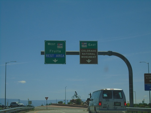
I-70 East Exit 19 Offramp at CO-340

I-70 East Exit 19 Offramp at CO-340

I-70 East Exit 19 Offramp at CO-340 in Fruita. Use CO-340 West to Fruita and Rest Area. Use CO-340 East to Colorado National Monument.
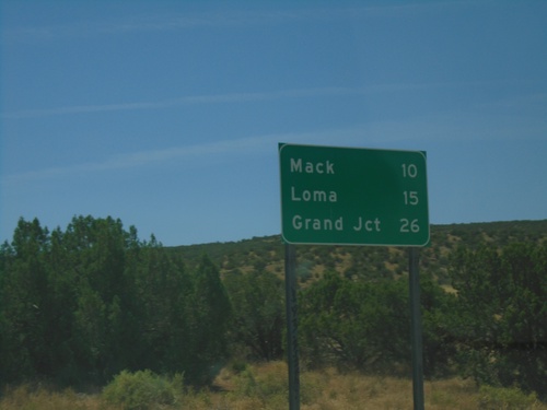
I-70 East - Distance Marker

I-70 East - Distance Marker

Distance marker on I-70 east. Distance to Mack, Loma, and Grand Junction. This is the first distance marker in Colorado on I-70 east.
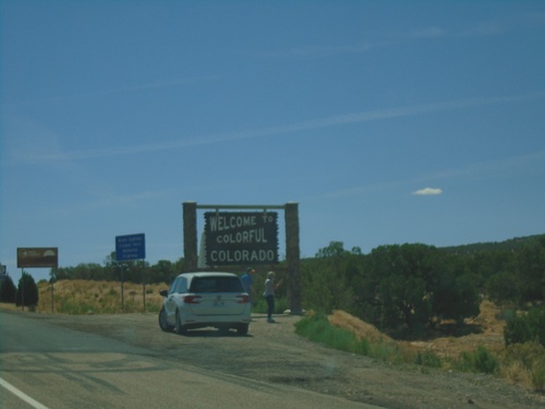
I-70 East - Mesa County

I-70 East - Mesa County

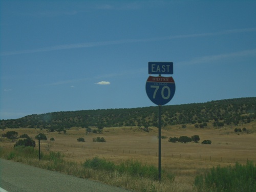
First I-70 reassurance marker eastbound in Colorado.

I-70 East - Entering Colorado

I-70 East - Entering Colorado

Welcome to colorful Colorado on I-70 east. Taken at the Utah-Colorado line.
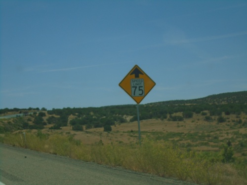
I-70 East - Speed Reduced to 75 MPH

I-70 East - Speed Reduced to 75 MPH

I-70 East - Speed reduced to 75 MPH ahead. Approaching the Utah-Colorado State Line. The Speed Limit on I-70 in Utah is 80 MPH.
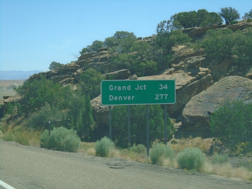
I-70 East - Distance Marker

I-70 East - Distance Marker

Distance marker on I-70 west. Distance to Grand Junction and Denver. This is the last distance marker along I-70 in Utah.
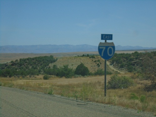
I-70 East - Grand County

I-70 East - Grand County

I-70 east in Grand County. This is the last I-70 reassurance marker in Utah.
I-70 East - Exit 221

I-70 East - Exit 221

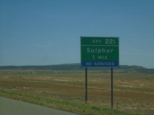
I-70 east approaching Exit 221 - Sulphur.

Yellowcat Road at I-70 - Grand County

Yellowcat Road at I-70 - Grand County

Yellowcat Road at I-70 in Grand County.

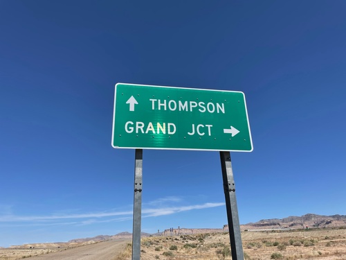
Yellowcat Road at I-70 - Grand County

Yellowcat Road at I-70 - Grand County

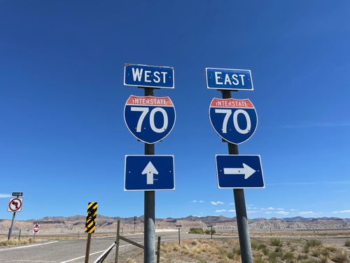
Yellowcat Road at I-70 in Grand County. Use I-70 East for Grand Junction (Colorado); I-70 East for Thompson.
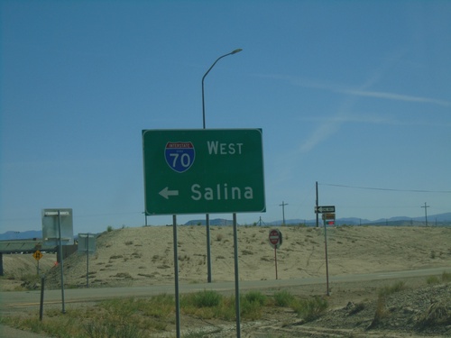
BL-70/UT-19 East at I-70 West

BL-70/UT-19 East at I-70 West

BL-70/UT-19 East at I-70 West to Salina.

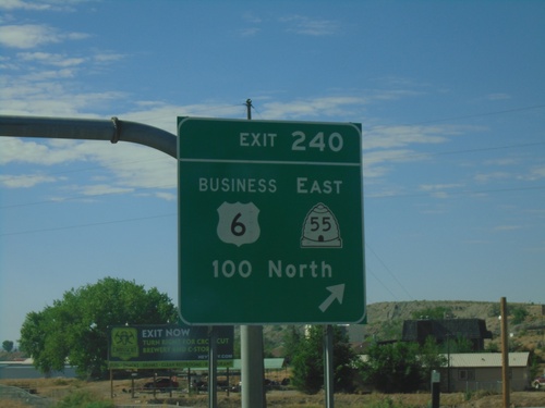
US-6 East/US-191 South - Exit 240

US-6 East/US-191 South - Exit 240

US-6 East/US-191 South at Exit 240 - Business Loop US-6/UT-55 East/100 North. This is the western end of the Price business loop.
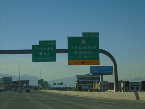
I-15 South - Exits 284 and 283

I-15 South - Exits 284 and 283

I-15 south approaching Exit 284 - UT-92/Timpanogos Highway. Approaching Exit 283 - Triumph Blvd.
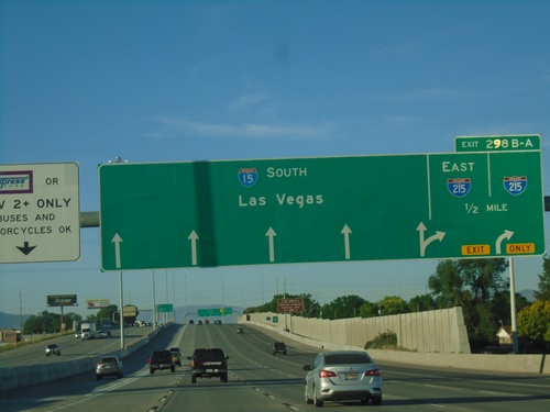
I-15 South Approaching Exit 298B-A

I-15 South Approaching Exit 298B-A

I-15 South approaching Exit 298B-A - I-215. Continue south on I-15 for Las Vegas (Nevada). I-215 is the Salt Lake City area belt route, and this is the southern part of the loop.
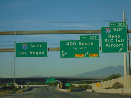
I-15 South Exits 308 and 307

I-15 South Exits 308 and 307

I-15 south at Exit 308 - I-80 West/Reno (Nevada)/SLC International Airport. I-15 south approaching Exit 307 - 400 South. Continue on I-15 south to Las Vegas (Nevada). I-80 joins I-15 through downtown Salt Lake City.
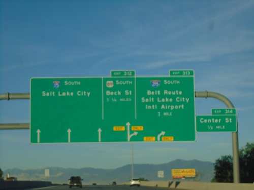
I-15 South - Exits 312, 313 and 314

I-15 South - Exits 312, 313 and 314

I-15 South approaching Exit 314 - Center St. Approaching Exit 313 - I-215 South/Belt Route/Salt Lake City International Airport. Approaching Exit 312 - US-89 South/Beck St. Continue south on I-15 to Salt Lake City.