Signs From May 2023
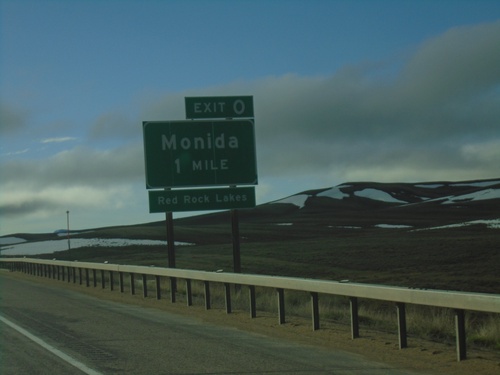
I-15 South - Exit 0
I-15 south approaching Exit 0 - Monida. Use Exit 0 for access to the Red Rock Lakes. This is the last exit in Montana on I-15 southbound. Monida is located at Monida Pass on the Continental Divide.
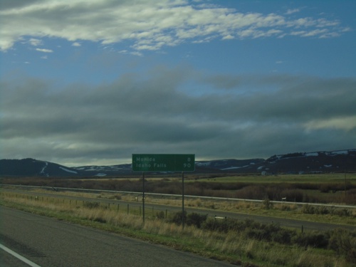
I-15 South - Distance Marker
Last distance marker in Montana on I-15 south. Distance to Monida and Idaho Falls (Idaho).
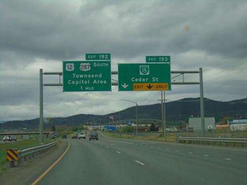
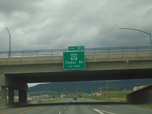
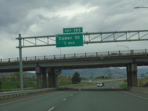
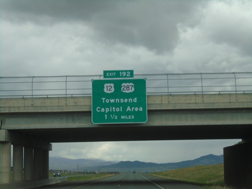
I-15 South - Exits 193 and 192
I-15 south at Exit 193 - BL-15/Cedar St. Approaching Exit 192 - US-12/US-287 South/Townsend/Capital Area.
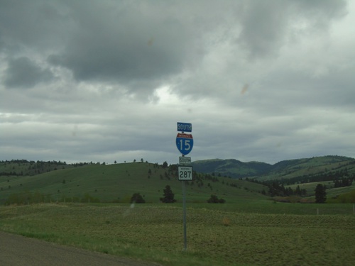
I-15 South/US-287 South - Lewis and Clark County
The US-287 shield is incorrectly displayed as a MT-287 shield. There is an actual MT-287, in southwestern Montana.
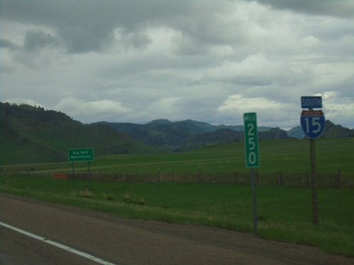
I-15 South - Big Belt Mountains
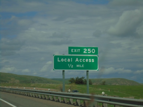
I-15 south at Milemarker 250. In the background of the picture is a sign indicating the name of the mountains in the background - Big Belt Mountains.
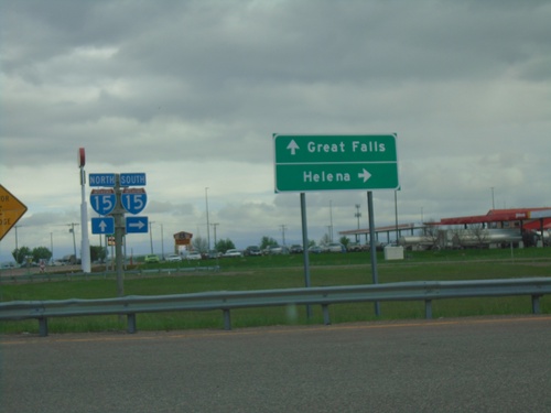
Airport Drive at I-15
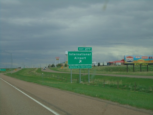
Airport Drive at I-15 (Exit 277). Turn right for I-15 south to Helena; continue over freeway for I-15 north to Great Falls.
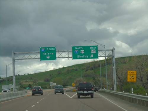
BL-15 South/US-89/MT-3 North/MT-200 West at I-15
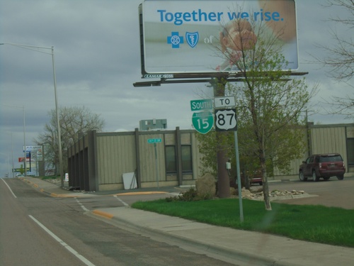
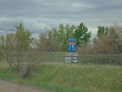
BL-15 South/US-89/MT-3 North/MT-200 West at I-15 junction. Merge right for I-15/US-89 North/MT-200 West to Shelby. Use I-15 south for Helena. MT-3 northbound and BL-15 southbound end here.
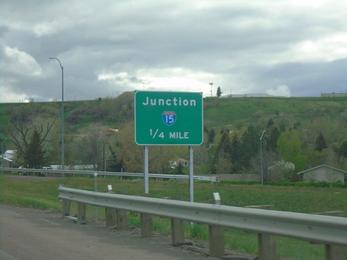
BL-15 South/US-89/MT-3 North/MT-200 West Approaching I-15
BL-15 South/US-89/MT-3 North/MT-200 West approaching I-15 on 10th Ave. South.
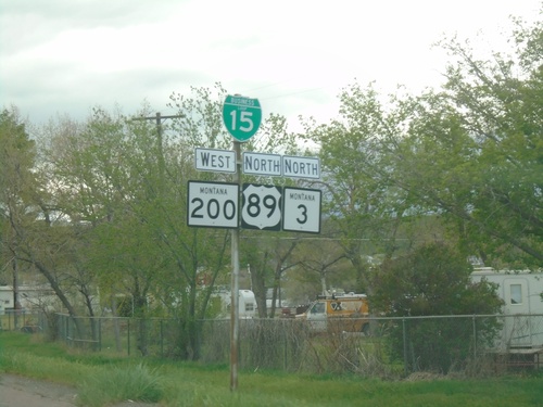
BL-15 South/US-89 North/MT-3/MT-200 West - Great Falls
BL-15 South/US-89 North/MT-3/MT-200 West in Great Falls at beginning of freeway.
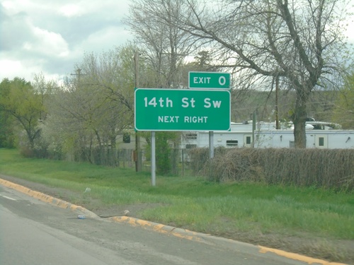
BL-15 South/US-89/MT-3 North/MT-200 West Approaching Exit 0
BL-15 South/US-89/MT-3 North/MT-200 West approaching Exit 0 - 14th St SW.
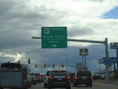
US-87/US-89/MT-3 North/MT-200 West at US-87 North Split
US-87/US-89/MT-3 North/MT-200 West (10th Ave. South) at US-87 North Split (15th St. South). Turn right to continue north on US-87 to Black Eagle and Havre.
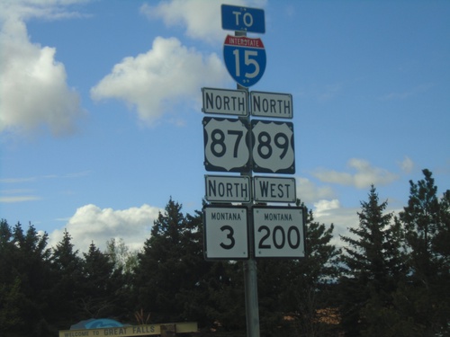
US-87/US-89/MT-3 North/MT-200 West to I-15
US-87/US-89/MT-3 North/MT-200 West to I-15 along 10th Ave. South in Great Falls.
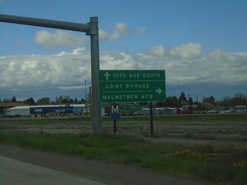
US-87/US-89/MT-3 North/MT-200 West at US-87 Bypass
US-87/US-89/MT-3 North/MT-200 West at US-87 Bypass (57th St. South). Turn right for Malmstrom AFB. Continue straight for US-87/US-89/MT-3 North/MT-200 West (10th Ave South).
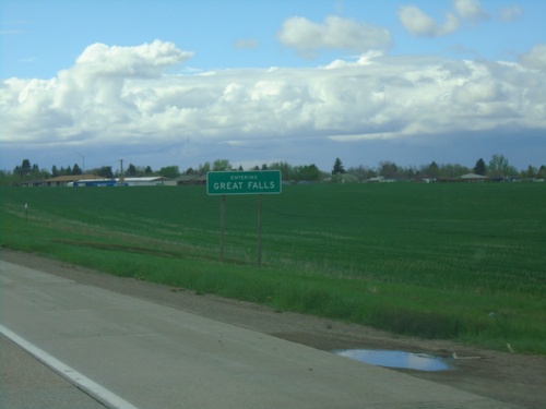
US-87/US-89/MT-3 North/MT-200 West - Great Falls
Entering Great Falls on US-87/US-89/MT-3 North/MT-200 West. Great Falls is the 3rd largest city in Montana.
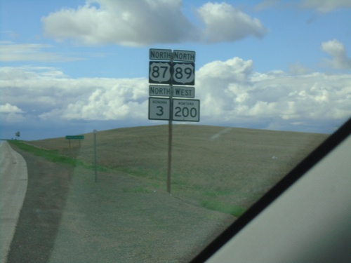
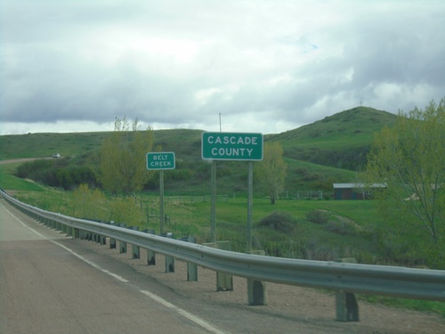
US-87/US-89/MT-3 North/MT-200 West - Cascade County
US-87/US-89/MT-3 North/MT-200 West in Cascade County, just south of Malmstrom Air Force Base.
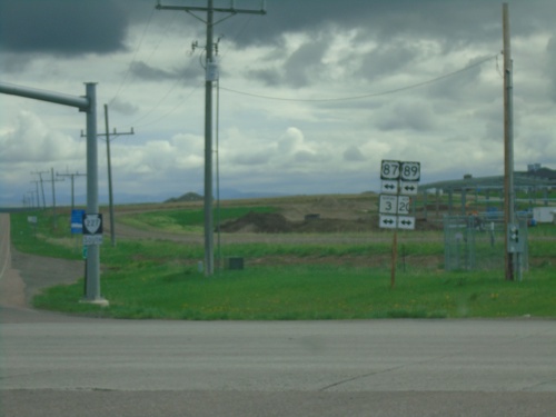
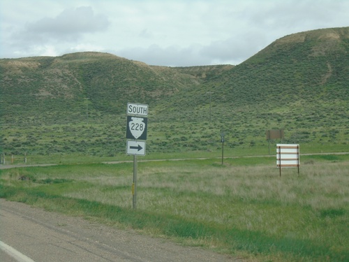
End MTS-228 South at US-87/US-89/MT-200/MT-3 and MTS-227
End MTS-228 South at US-87/US-89/MT-200/MT-3 and MTS-227. The main cross street at this intersection is US-87/US-89/MT-200/MT-3. Continue straight for MTS-227 south.
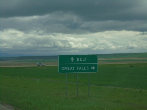
MTS-228 South at MTS-331
MTS-228 South at MTS-331 in Cascade County. Turn right to continue south on MTS-228 to Great Falls. Continue straight for MTS-331 south to Belt.
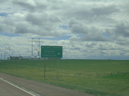
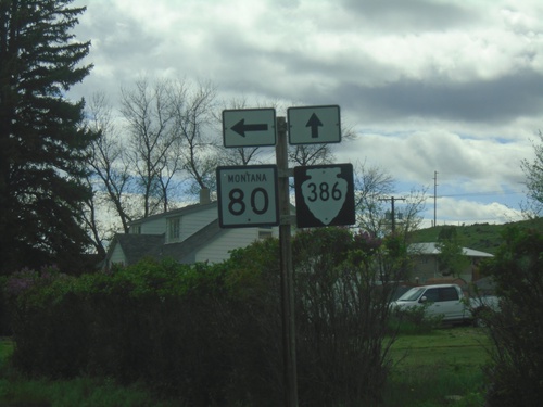
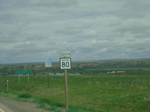
US-87 South at MT-80 and MTS-223
US-87 South at MT-80 and MTS-223. Use MT-80 for Fort Benton; use MTS-223 for Chester and Tiber Dam.
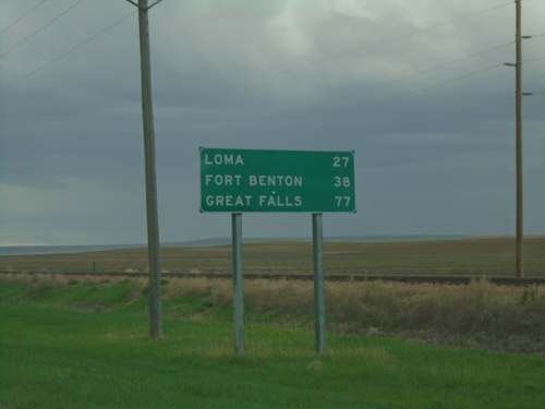
US-87 South - Distance Marker
Distance marker on US-87 south. Distance to Loma, Fort Benton, and Great Falls.
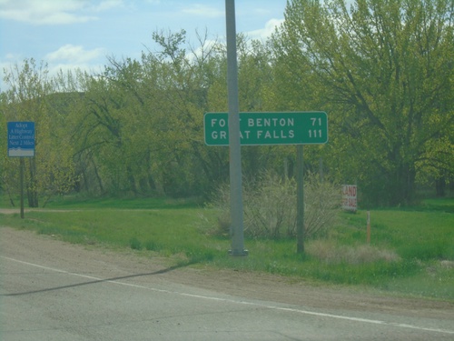
US-87 South - Distance Marker
Distance marker on US-87 southbound . Distance to Fort Benton and Great Falls.
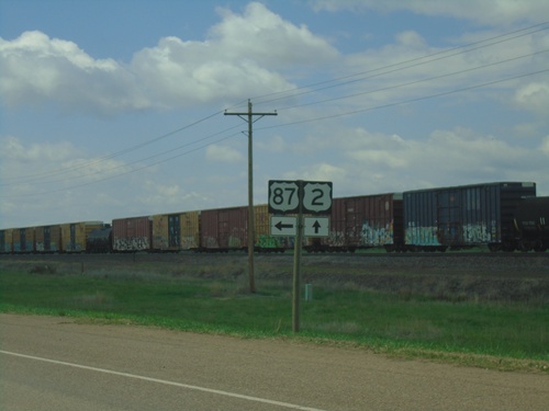
US-2 West at US-87
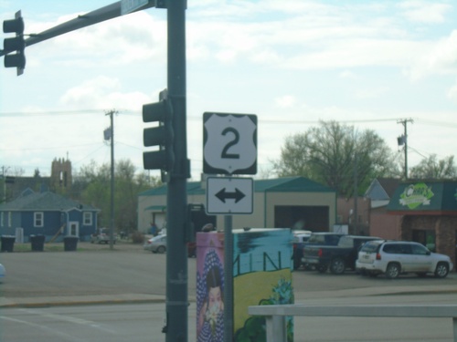
US-2 West at US-87 just west of Havre. This is the northern beginning of US-87. The southern end of US-87 is Port Lavaca Texas.
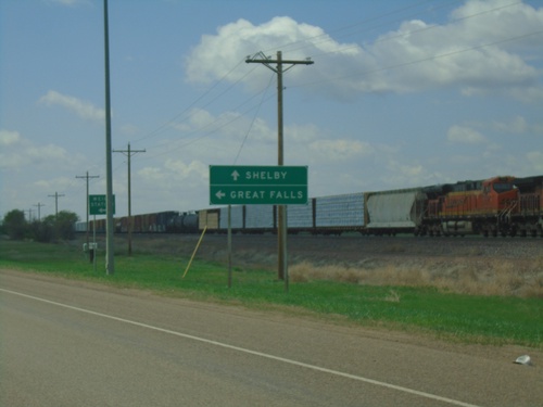
US-2 West at US-87 South
US-2 west approaching US-87 south. Use US-87 south for Great Falls; continue west on US-2 for Shelby.
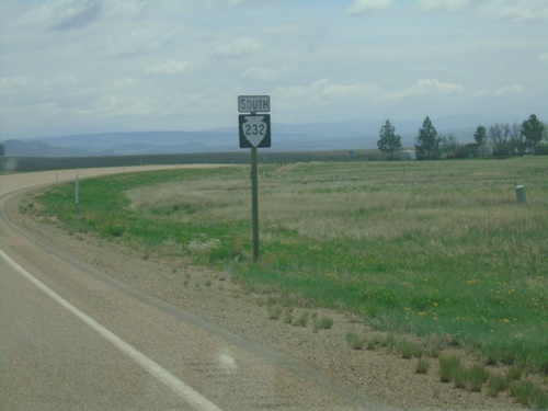
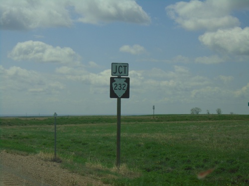
MTS-232 South - Hill County
MTS-232 south into Hill County. The highway starts to descend to the Milk River here. In the far background is the Bears Paw Mountains.
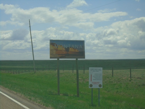
MTS-233 South - Welcome To Montana
Welcome To Montana on MTS-233 south, taken just south of the US/Canada boundary.
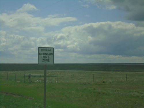
MTS-233 South - Entering Mountain Time Zone
Entering Mountain Time Zone on MTS-233 south. Taken south of the US/Canada boundary.
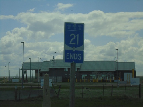
End SK-21 South at United States Boundary
End SK-21 South at the United States Boundary. The Port of Willow Creek US border station is in the background. The stone obelisk marking the boundary is behind and to the left of the SK-21 marker.
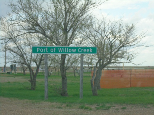
SK-21 South - Port of Willow Creek
Entering Port of Willow Creek on SK-21 southbound. Port of Willow Creek is the name of the port of entry on both sides of the United States and Canada border.
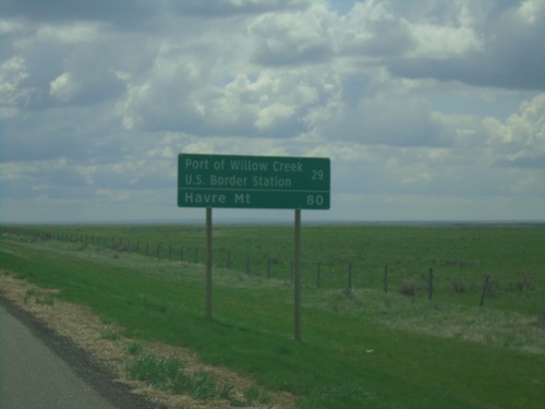
SK-21 South - Distance Marker
Distance marker on SK-21 south. Distance to Port of Willow Creek US Border Station and Havre, MT (United States).
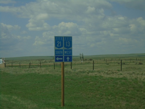
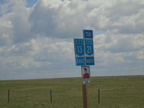
SK-13 West/SK-21 South at SK-13/SK-21 Split
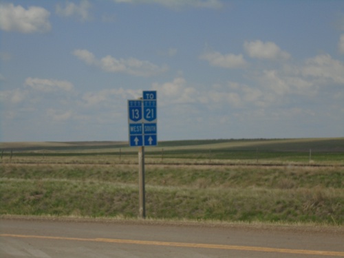
SK-13 West/SK-21 South at SK-13/SK-21 split in RM of Reno No. 51.
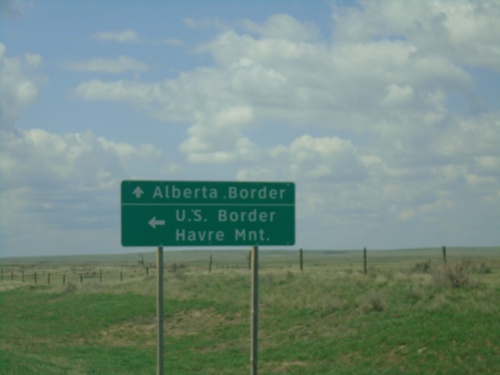
SK-13 West/SK-21 South Approaching SK-13/SK-21 Split
SK-13 West/SK-21 South approaching SK-13/SK-21 split. Use SK-13 west to the Alberta Border; use SK-21 south for the US Border and Havre, Montana.
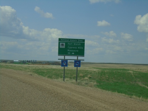
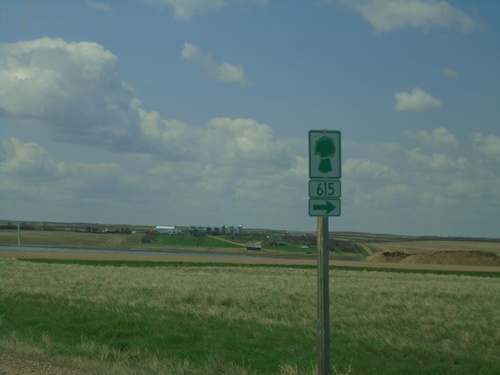
SK-13 West/SK-21 South Approaching SK-615
SK-13 West/SK-21 South approaching SK-615 to Fort Walsh/Cypress Hills Massacre.
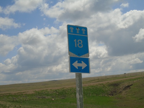
Township Road Eastbound Approaching SK-18
Township Road Eastbound approaching SK-18 in RM Reno No. 51.
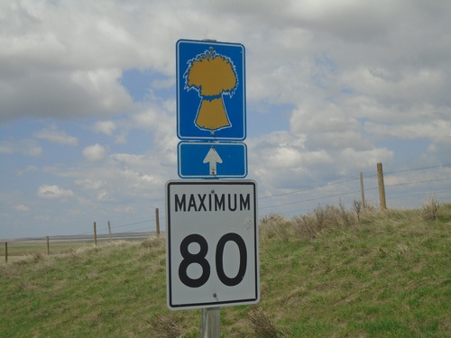
Township Road 32 West - Maximum 80 km/h
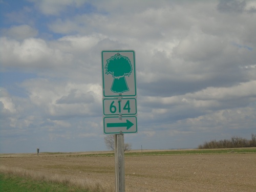
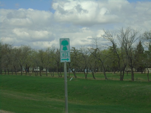
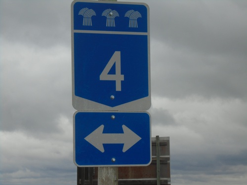
Speed Limit 80 km/h on Township Road 32 West. I believe the wheat symbol indicates the road is a Grid Road.
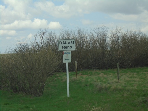
SK-18 West- Entering RM #51 Reno
Entering Reno Rural Municipality #51 on SK-18 west. Reno #51 is in the southwest corner of Saskatchewan.
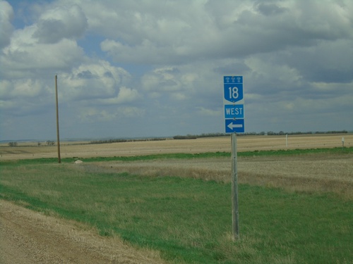
SK-18 West - Claydon
SK-18 West at Claydon junction. SK-18 makes 90 angle turn to the south. Turn left to continue west on SK-18.
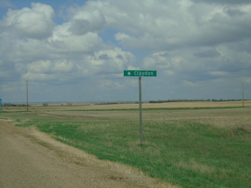
SK-18 West - Claydon
SK-18 west at Claydon junction. SK-18 makes a 90 degree turn to the south; continue straight on roadway for Claydon.
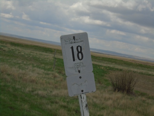
SK-614 South at SK-18
A very old and faded SK-18 shield on SK-614 South at SK-18. This type of black and white marker is an older style before the shields were blue and white.
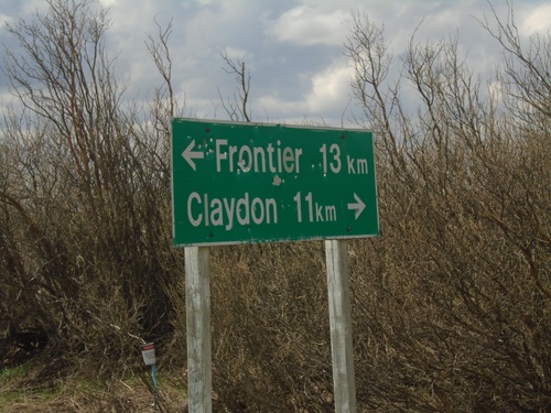
SK-614 South at SK-18
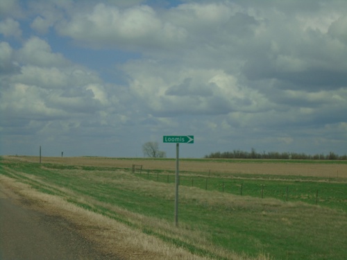
SK-614 South at SK-18 near Loomis. Use SK-18 west for Claydon; SK-18 east for Frontier. Distance units are marked with the text km, which is different than the other distance markers in southern Saskatchewan.
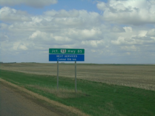
SK-18 West - Distance Marker
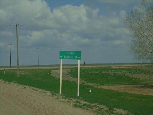
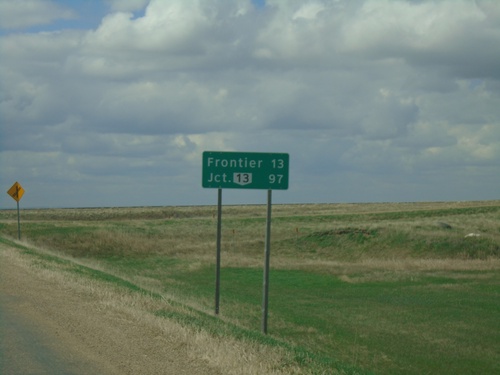
Distance marker on SK-18 west. Distance to Junction SK-13. Next Services in Consul - 106km.
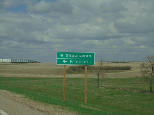
SK-37 North/SK-18 West Approaching SK-37/SK-18 Split
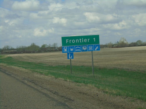
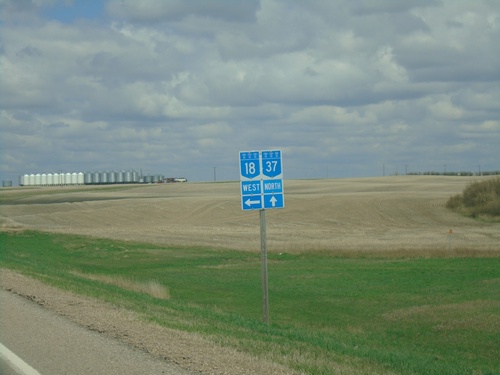
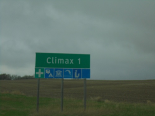
SK-37 North/SK-18 West approaching SK-37/SK-18 split in Climax. Use SK-37 north to Shaunavon; SK-18 west to Frontier.
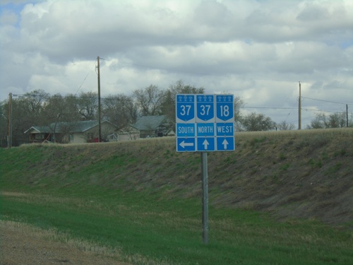
SK-18 West at SK-37 - Climax
SK-18 West at SK-37 in Climax. SK-37 North follows SK-18 West through Climax.
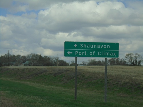
SK-18 West at SK-37
SK-18 West at SK-37 south to Port of Climax. Continue on SK-18 West/SK-37 North to Shaunavon. SK-37 joins SK-18 westbound through Climax.
SK-4 North Approaching SK-18
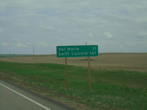
SK-4 North approaching SK-18 in RM of Val Marie No. 17. Use SK-18 west to Climax; SK-4 North/SK-18 East to Val Marie and Swift Current.
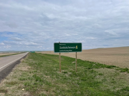
SK-4 North - Welcome to Saskatchewan
Welcome to Saskatchewan - Land of the Living Skies on SK-4 North. Taken at the exit to the Port of Monchy.
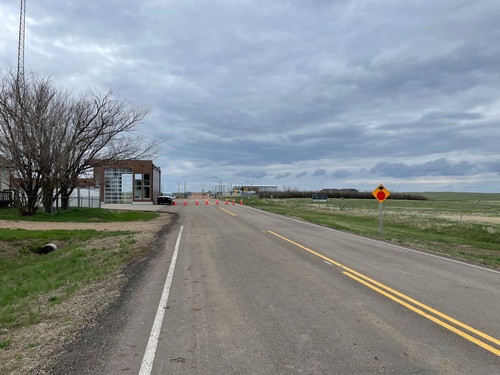
SK-4 South - Stop Ahead
SK-4 South approaching Port of Morgan at the US/Canada Border. Both Ports of Entry are closed when this was taken, because it was on a weekend. Canada Port of Monchy building is on the left side, the US Port of Morgan buildings are in the background.
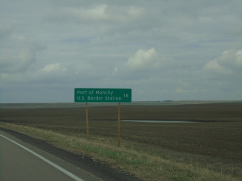
SK-4 South - Distance Marker
Distance marker on SK-4 south. Distance to Port of Monchy U.S. Border Station.
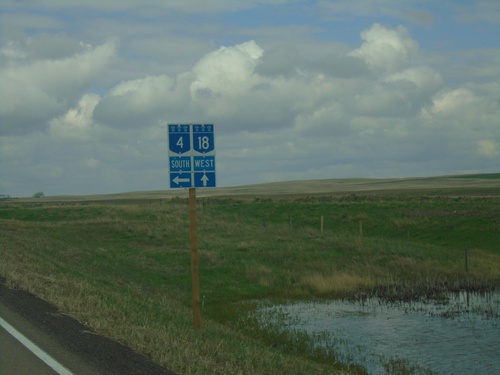
SK-4 South/SK-18 West at SK-4/SK-18 Split
SK-4 South/SK-18 West at SK-4/SK-18 split in RM of Val Marie No. 17.
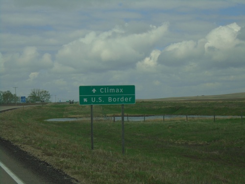
SK-4 South/SK-18 West at SK-4/SK-18 Split
SK-4 South/SK-18 West at SK-4/SK-18 Split. Use SK-4 south for U.S. Border; SK-18 West to Climax.
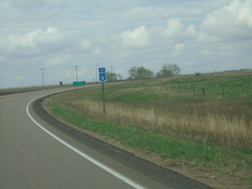
SK-4 South/SK-18 West Approaching SK-4/SK-18 Split
SK-4 South/SK-18 West Approaching SK-4/SK-18 Split in RM of Val Marie No. 17.
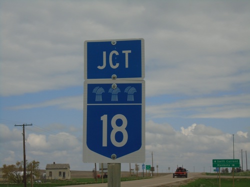
SK-4 North/SK-18 East Approaching SK-4/SK-18 Split
SK-4 North/SK-18 East approaching SK-4/SK-18 split in Val Marie.
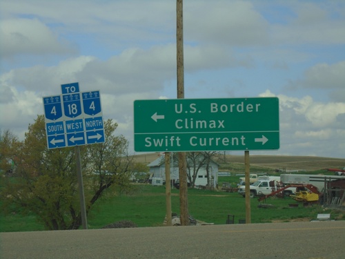
SK-18 West at SK-4 - Val Marie
SK-18 West at SK-4 in Val Marie. Turn right for SK-4 North to Swift Current; turn left for SK-4 South/SK-18 West to U.S. Border and Climax.
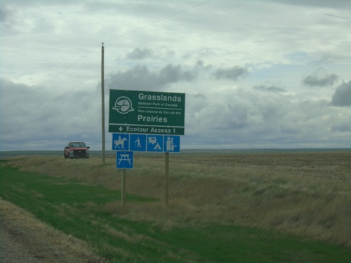
SK-18 East Approaching Grasslands National Park
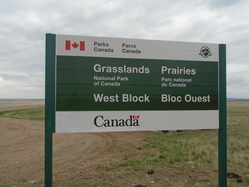
SK-18 East approaching Grasslands National Park - West Block junction.
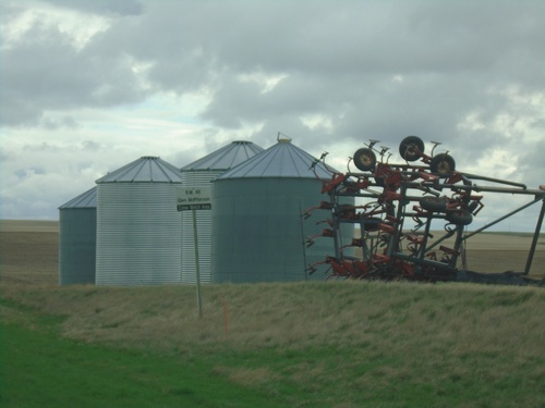
SK-18 East - RM of Glen McPherson No. 46
Entering RM of Glen McPherson No. 46 on SK-18 east. RM of Glen McPherson No. 46 is the least populated rural municipality in Saskatchewan.
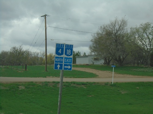
SK-4 North/SK-18 East at SK-4/SK-18 Split
SK-4 North/SK-18 East at SK-4/SK-18 split in Val Marie. Turn right for SK-18 East; continue straight for SK-4 north.
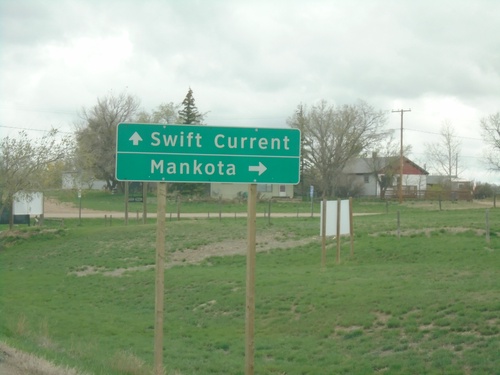
SK-4 North/SK-18 East Approaching SK-4/SK-18 Split
SK-4 North/SK-18 East approaching SK-4/SK-18 split in Val Marie. Use SK-4 north for Swift Current; SK-18 east for Mankota.
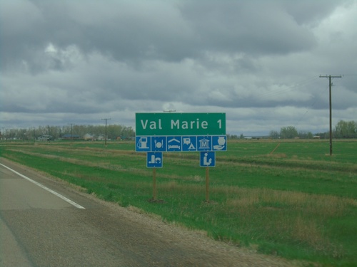
SK-4 North/SK-18 East Approaching Val Marie
Approaching Val Marie on SK-4 North/SK-18 East. Val Marie is home to the visitor center for Grasslands National Park.
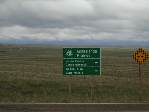
End SK-607 North at SK-4/SK-18
End SK-607 North at SK-4/SK-18 in RM of Val Marie No. 17. Use SK-4 North/SK-18 East for access to Grassland National Park Visitor Center and 70 Mile Butte.
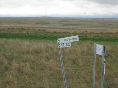
Fingerboard at SK-4/SK-18 at SK-607 Junction
Fingerboard at SK-4/SK-18 at SK-607 junction. Unclear on the meaning of this sign, but they are located at several junctions along the highways in southern Saskatchewan.
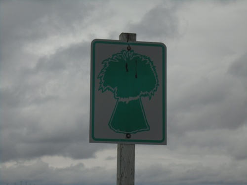
SK-607 South - Val Marie No. 17
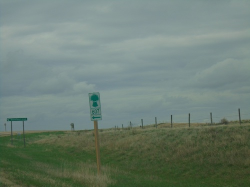
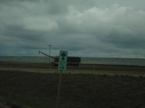
SK-607 South in Val Marie No. 17. The number tab is missing from this assembly.
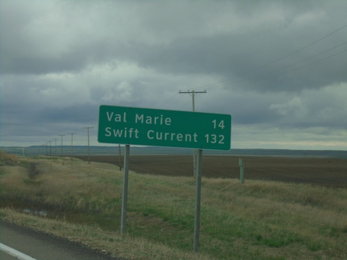
SK-4 North/SK-18 East - Distance Marker
Distance Marker on SK-4 North/SK-18 East. Distance to Val Marie and Swift Current.
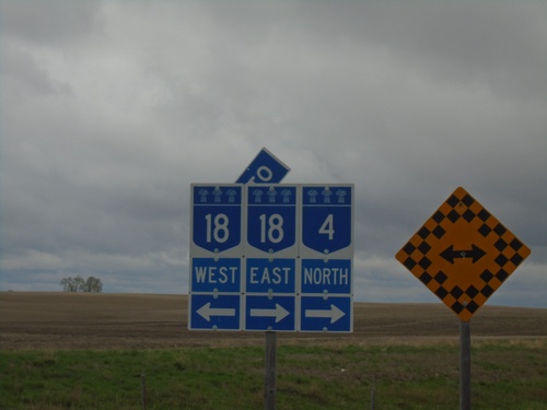
SK-4 North at SK-18
SK-4 North at SK-18 in RM of Val Marie #17. SK-4 North joins SK-18 East to Val Marie.
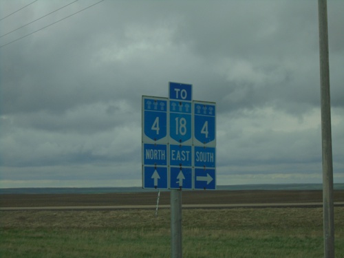
SK-18 East at SK-4
SK-18 East at SK-4 junction. Turn right for SK-4 south; continue straight for SK-4 North/SK-18 East.
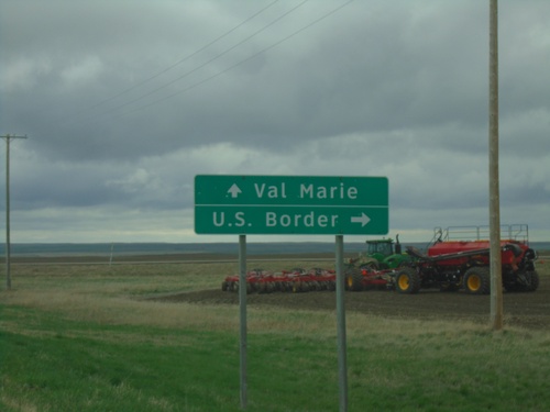
SK-18 East Approaching SK-4
SK-18 East approaching SK-4 south to US Border. Continue on SK-4 North/SK-18 East to Val Marie.
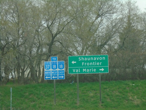
SK-37 North at SK-18
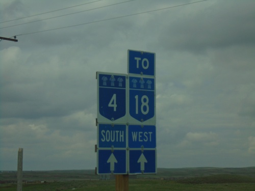
SK-37 North at SK-18 in Climax. Use SK-18 East to Val Marie; use SK-18 West/SK-37 North to Frontier and Shaunavon. Overlapping routes in Saskatchewan are sign as “TO”, as if there is not a continuity in the route.
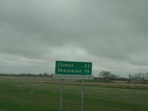
SK-37 North - Distance Marker
Distance marker on SK-37 north. Distance to Climax and Shaunavon. Distances and Speed are in Metric Units.
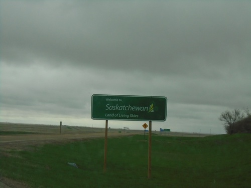
SK-37 North - Welcome to Saskatchewan
Welcome to Saskatchewan - Land of the Living Skies on SK-37 North.
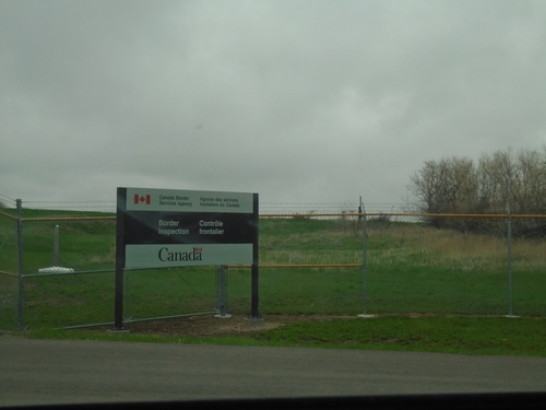
End MTS-241 North at Canadian Border
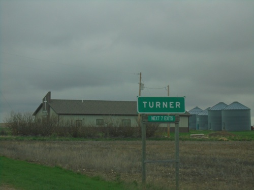
Approaching Canada Customs (Port of Climax) at north end of MTS-241 North. The Port of Turner (US)/Port of Climax(Canada) facility is a joint inspection station. The advance signage for the border inspection is on the United States side of the border. The white border marker in the background of the photo indicates the actual border.
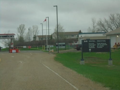
MTS-241 Approaching Canadian Border
Approaching Canadian Border at Port of Climax on MTS-241 north. Port of Turner (US) and Port of Climax (Canada) are in a shared building. The actual border is at the gate in the background of the photo.
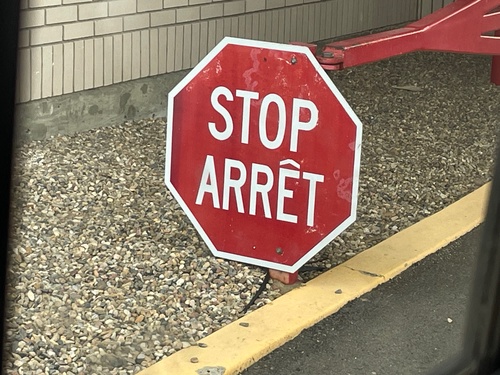
Stop Sign at Canada Customs Inspection
Stop/Arrêt Sign at Canada Customs Inspection at the Port of Climax at the beginning of SK-37.
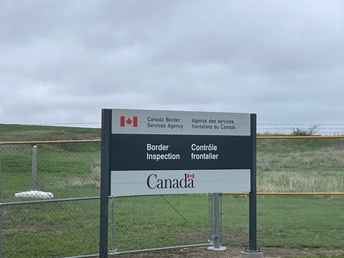
End MTS-241 North at Canadian Border
Approaching Canada Customs (Port of Climax) at north end of MTS-241 North. The Port of Turner (US)/Port of Climax(Canada) facility is a joint inspection station. The advance signage for the border inspection is on the United States side of the border. The white border marker in the background of the photo indicates the actual border.
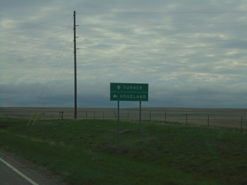
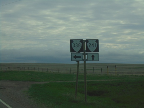
MTS-241 North Approaching MTS-338
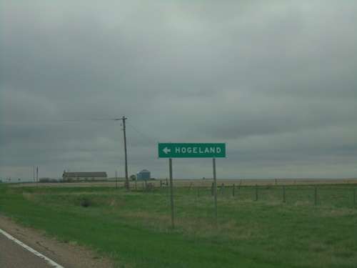
MTS-241 North approaching MTS-338 in Blaine County. Use MTS-338 north to Hogeland. Continue north on MTS-241 to Turner.
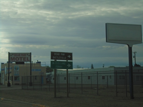
US-2 East at MTS-240 South
US-2 East at MTS-240 South to McClelland Ferry and Bear Paw Battlefield. The McClelland Ferry crosses the Missouri River south of Chinook.
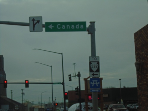
US-2 East at MTS-232
US-2 East at MTS-232 in Havre. Use MTS-232 north to Canada. MTS-232 is shown here with a TO banner on the shield, although the signage along the route through Havre seems to indicate it is part of the state highway system.
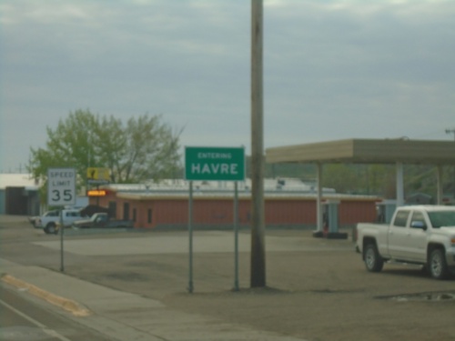
US-2 East - Entering Havre
Entering Havre on US-2 east. Havre is the county seat of Hill County and the 10th biggest city in Montana (2020 Census).
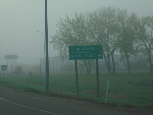
US-2 East at US-87 Junction
US-2 East at US-87 south to Great Falls. Continue east on US-2 for Havre.
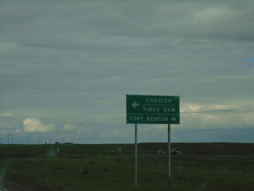
US-87 North at MT-80/MTS-223
US-87 north at MT-80 to Fort Benton and MTS-223 to Chester and Tiber Dam.
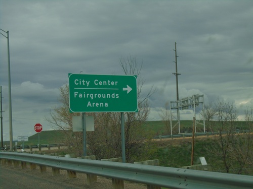
I-15 North Exit 280 Offramp
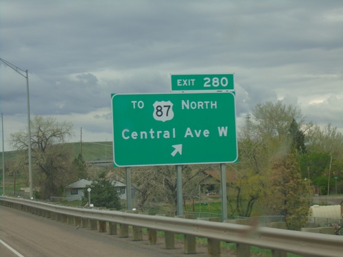
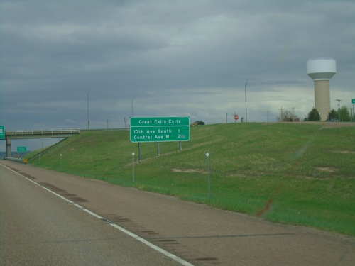
I-15 North Exit 280 offramp at BL-15/Central Ave West. Turn right on BL-15 South for (Great Falls)City Center/Fairgrounds/Arena.
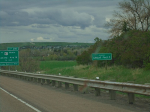
I-15 North - Entering Great Falls
Entering Great Falls on I-15 North. Great Falls is the 3rd largest city in Montana and the county seat of Cascade County.
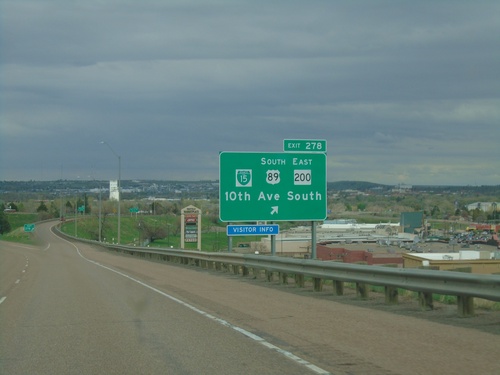
I-15 North - Exit 278
I-15 North at Exit 278 - BL-15/US-89 South/MT-200 East/10th Ave. South. US-89 North/MT-200 West join I-15 northbound.
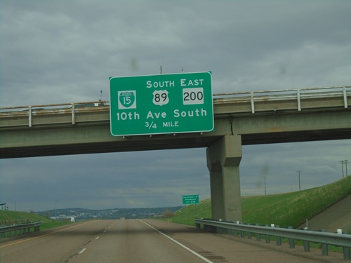
I-15 North - Exit 278
I-15 north approaching Exit 278 - BL-15/US-89 South/MT-200 East/10th Ave. South. US-89 North/MT-200 West join I-15 northbound to Vaughn.
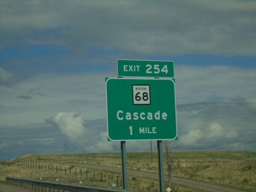
I-15 North - Exit 254
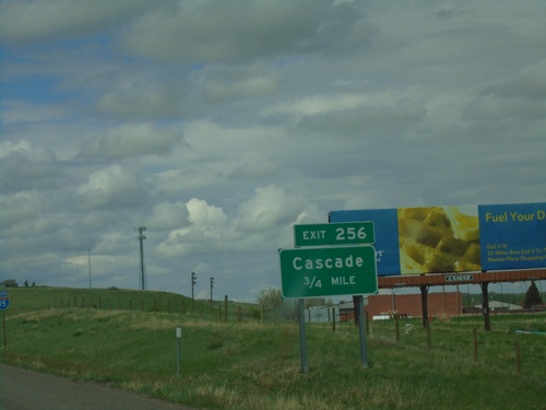
I-15 north approaching Exit 254 - MT-68/Cascade. The MT-68 shield has the full Montana state highway shield with the state name and the black outline. Normally on freeway signs the state route markers are just simple white squares.
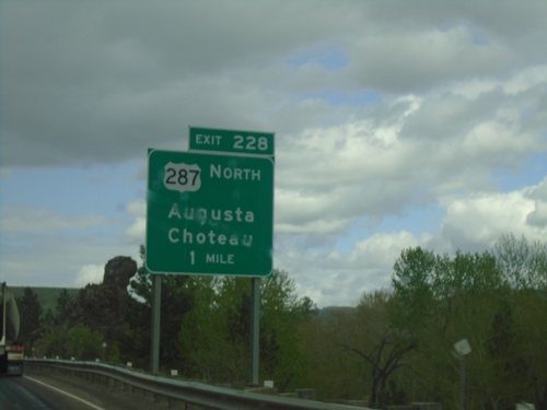
I-15 North - Exit 228
I-15 north approaching Exit 228 - US-287 North/Augusta/Choteau. US-287 leaves I-15 northbound here.
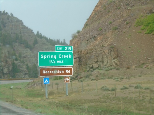
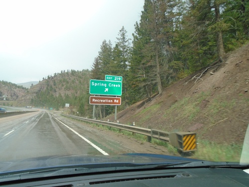
I-15 North - Exit 219
I-15 north approaching Exit 219 - Spring Creek. Access to Recreation Road that follows the Missouri River.
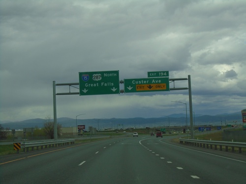
I-15 North - Exit 194
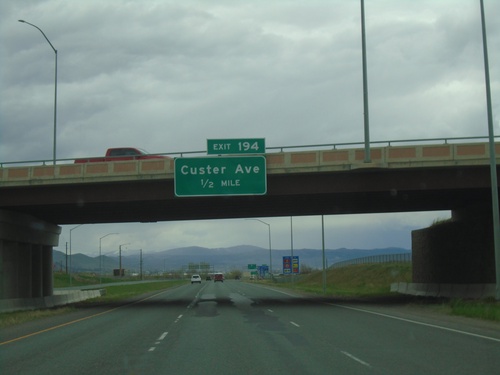
I-15 north at Exit 194 - Custer Ave. Continue north on I-15/US-287 North for Great Falls.
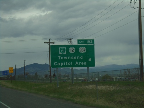
I-15 North - Exit 192
I-15 north at Exit 192 - BL-15/US-12/US-287/Townsend/Capitol Area. US-287 joins I-15 northbound.
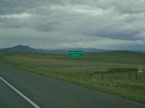
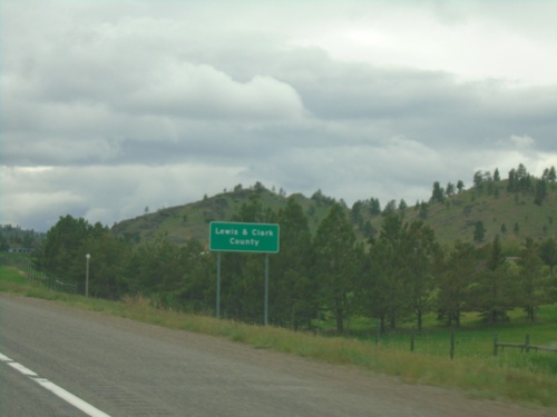
I-15 North - Lewis and Clark County
Entering Lewis and Clark County on I-15 north. Lewis and Clark County is home to Helena, the Montana state capital.
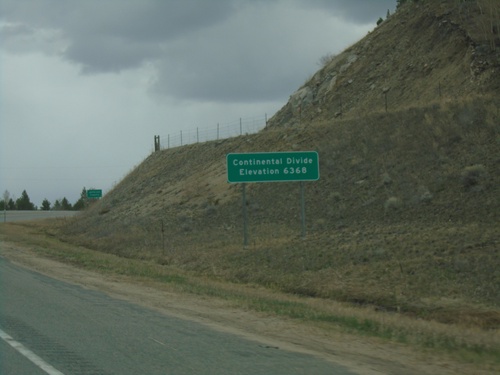
I-15 North - Elk Park Pass
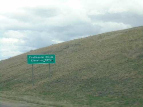
I-15 north at Elk Park Pass (Continental Divide). Elevation 6368 Feet. This is also the county boundary between Silver Bow and Jefferson County. Water north of this point flows into the Gulf of Mexico.
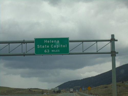
I-15 North - Distance Marker
Distance marker on I-15 north. Distance to Helena - State Capitol. A similar sign is located just south of Great Falls on I-15.
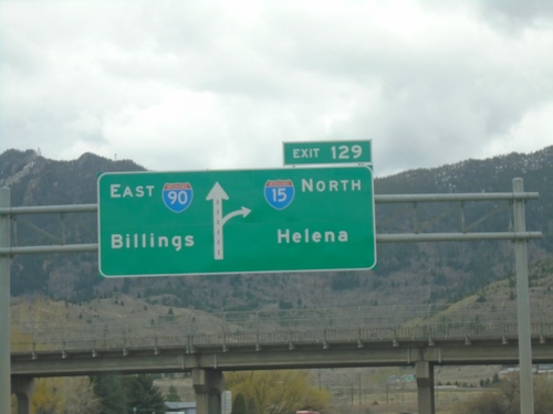
I-15 North/I-90 East - Exit 129
I-15 North/I-90 East approaching Exit 129 - I-15 North/Helena. Continue east on I-90 for Billings.
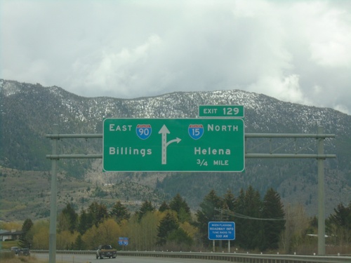
I-15 North/I-90 East - Exit 129
I-15 North/I-90 East approaching Exit 129 - I-15 North/Helena. Continue east on I-90 for Billings.
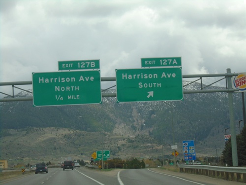
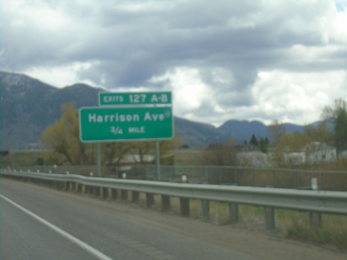
I-15 North/I-90 East - Exit 127A-B
I-15 North/I-90 East at Exit 127A - Harrison Ave. South. Approaching Exit 127B - Harrison Ave. North.
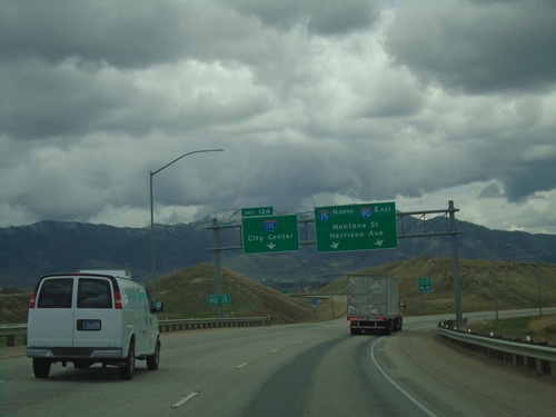
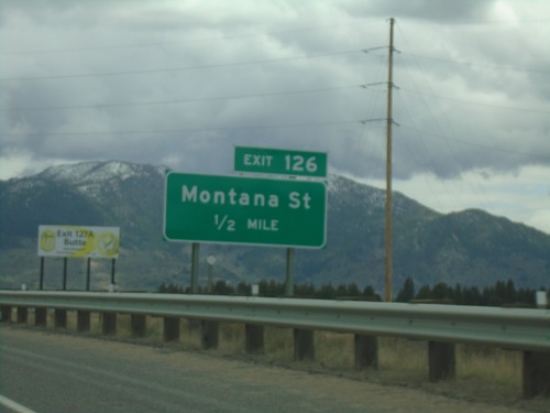
I-15 North/I-90 East - Exit 124
I-15 North/I-90 East at Exit 124 - I-115/(Butte)City Center. Continue on I-15 North/I-90 East towards Montana St. and Harrison Ave.
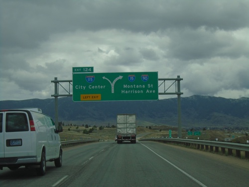
I-15 North/I-90 East - Exit 124
I-15 North/I-90 East at Exit 124 - I-115/(Butte)City Center. Continue on I-15 North/I-90 East to Montana St. and Harrison Ave.
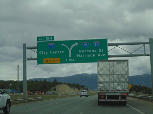
I-15 North/I-90 East - Exit 124
I-15 North/I-90 East approaching Exit 124 - I-115/(Butte)City Center. Continue on I-15 North/I-90 East for Montana St. and Harrison Ave. (next two exits in Butte).
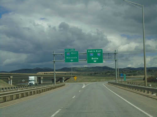
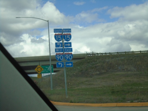
I-15 North - Exit 121
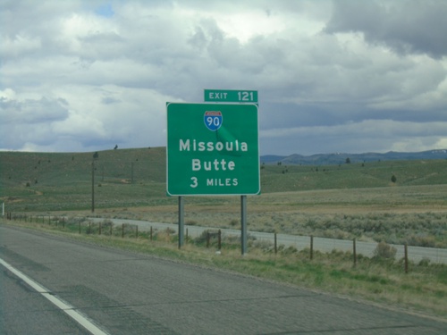
I-15 north at Exit 121 - I-90 West/Missoula. Use right lanes to continue on I-15 North/I-90 East/Butte.
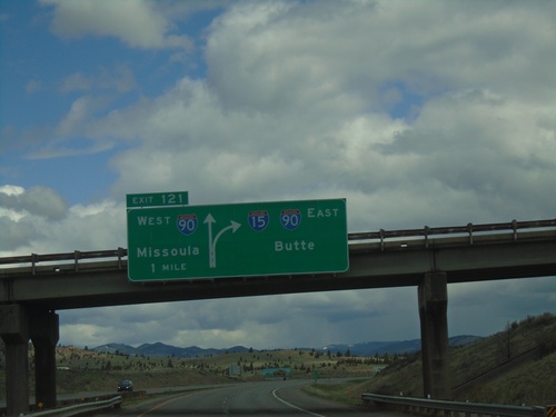
I-15 North - Exit 121
I-15 north approaching Exit 121 - I-90 West/Missoula and I-15 North/I-90 East/Butte. I-90 East joins I-15 northbound through Butte.
