Signs From July 2023
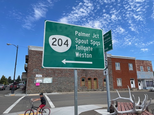
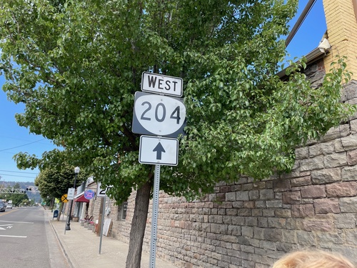
OR-82 East at OR-204 West
OR-82 East at OR-204 West in Elgin. Use OR-204 west to Palmer Junction, Spout Springs, Tollgate, and Weston.
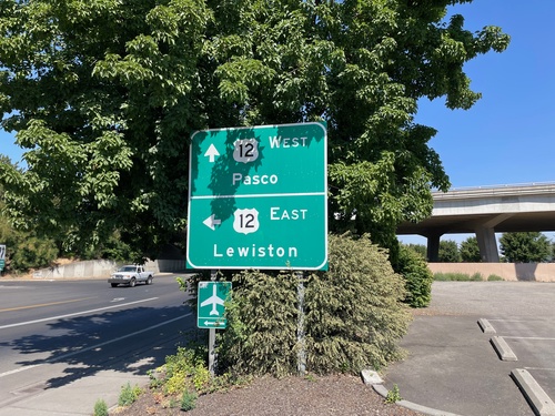
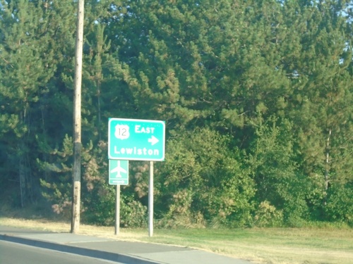
2nd Ave. North at US-12
2nd Ave. North at US-12 in Walla Walla. Use US-12 West to Pasco; US-12 East to Lewiston (Idaho).
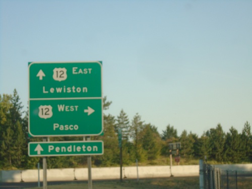
2nd Ave. Southbound at US-12
2nd Ave. southbound at US-12 in Walla Walla. Turn right for US-12 West to Pasco. Continue under freeway for US-12 East to Lewiston (Idaho). Continue on 2nd Ave. through downtown Walla Walla to access WA-125 to Pendleton (Oregon).
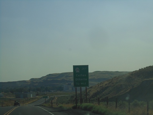
WA-261 South Approaching WA-26 and WA-260
WA-261 South approaching WA-26 and WA-260. Use WA-26 to Colfax and Othello.
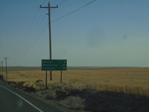
WA-261 South - Distance Marker
Distance marker on WA-261 south. Distance to Ralston, Washtucna, and Kahlotus.
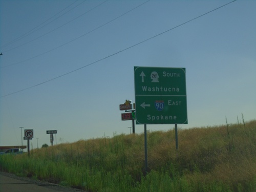
WA-261 South at I-90 East
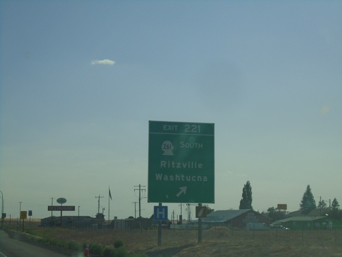
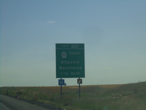
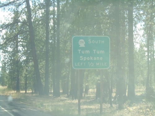
WA-261 South at I-90 East (Exit 221) to Spokane. Continue south on WA-261 to Washtucna.
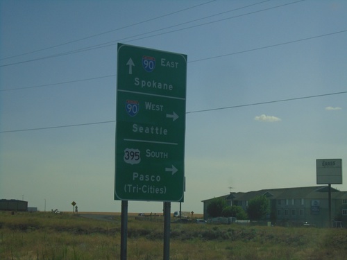
Division St. South at I-90/US-395/WA-261
Division St. South at I-90/US-395/WA-261 in Ritzville. Turn right for I-90 West/Seattle and US-395 South/Pasco (Tri-Cities). Continue under freeway for I-90 East to Spokane. WA-261 southbound begins here.
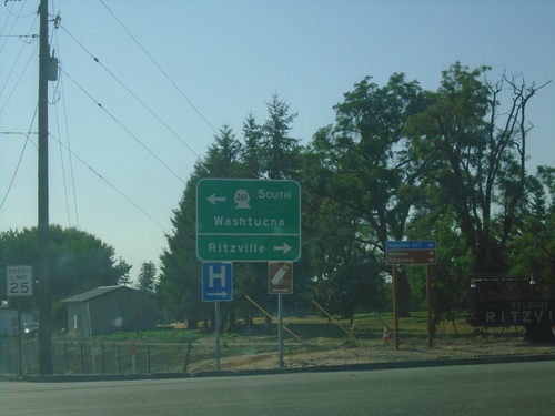
I-90 West - Exit 221 Offramp
I-90 West - Exit 221 Offramp at WA-261. Turn right for Ritzville; left for WA-261 south to Washtucna.
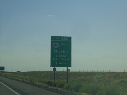
I-90 West - Exit 220
I-90 west approaching Exit 220 - US-395 South/Ritzville/Pasco (Tri-Cities). This sign is in advance of Exit 221 as well. US-395 south leaves I-90 at Exit 220.
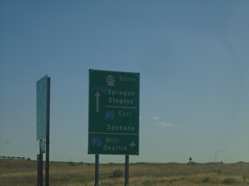
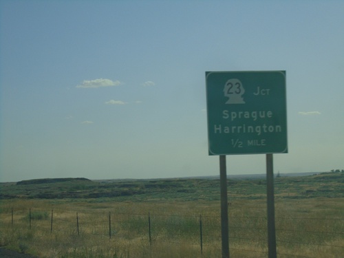
WA-23 East at I-90 Junction
WA-23 East at I-90 Junction (Exit 245). Turn right for I-90 West to Seattle. Continue under freeway for I-90 East to Spokane. Continue south on WA-23 for Sprague and Steptoe.
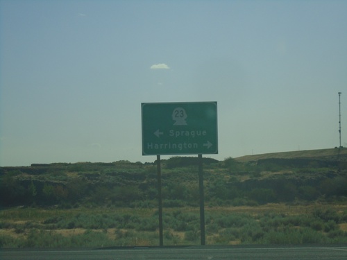
End WA-231 South at WA-23
End WA-231 south at WA-23. Use WA-23 west to Harrington; WA-23 east to Sprague.
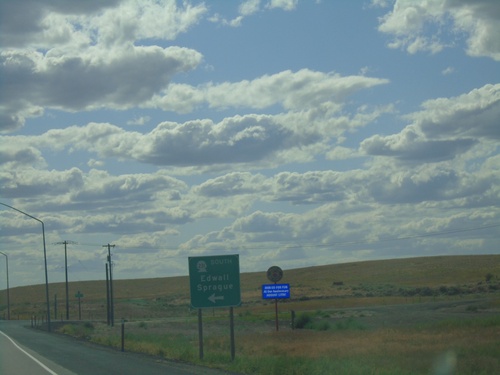
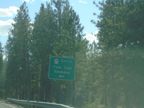
US-2 West/WA-231 South at US-2/WA-231 Split
US-2 West/WA-231 South at US-2/WA-231 split in Lincoln County. Use WA-231 south for Edwall and Sprague.
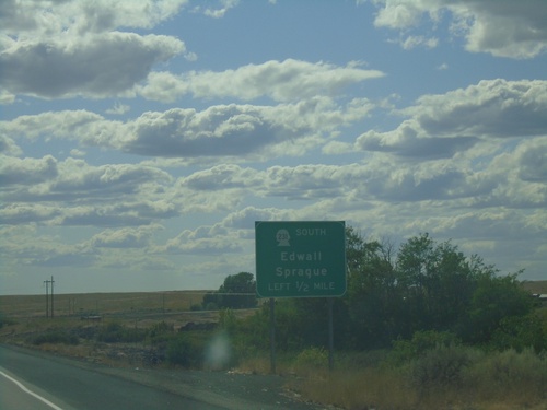
US-2 West/WA-231 South Approaching US-2/WA-231 Split
US-2 West/WA-231 South approaching US-2/WA-231 Split in Lincoln County. Use WA-231 south for Edwall and Sprague.
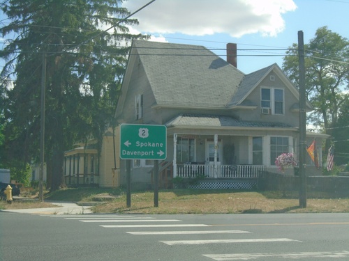
WA-231 South at US-2
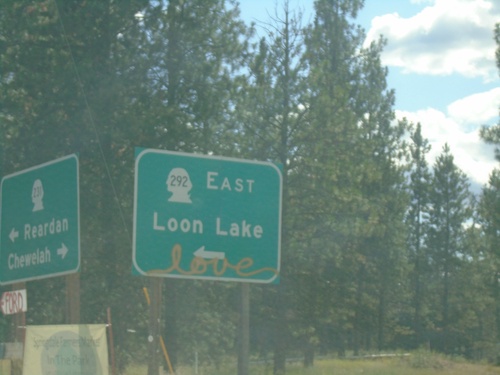
WA-231 South at US-2 in Reardan. Use US-2 west for Davenport; US-2 east for Spokane. WA-231 south joins US-2 westbound.
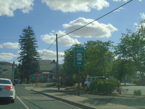
WA-231 South Approaching US-2
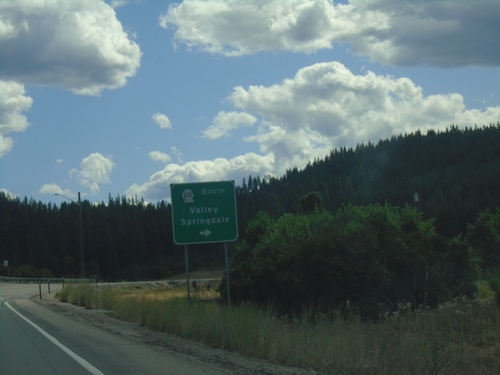
WA-231 South approaching US-2 in Reardan. Turn right on US-2 west to continue south on WA-231. WA-231 south joins US-2 west through Reardan.
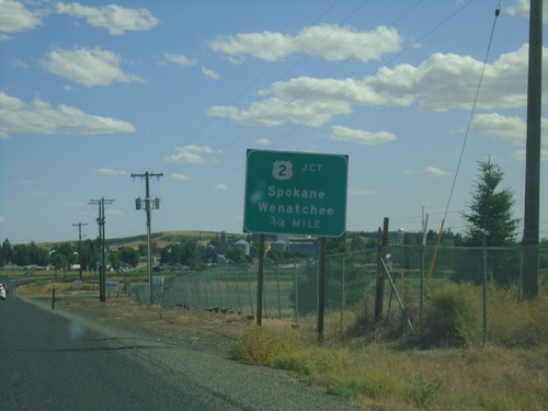
WA-231 South Approaching US-2
WA-231 South approaching US-2 in Reardan. Use US-2 for Spokane and Wenatchee.
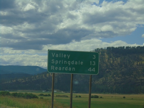
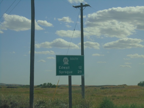
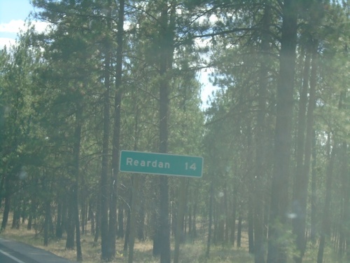
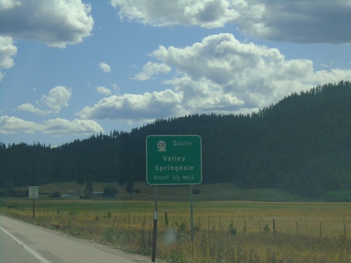
WA-231 South - Distance Marker
Distance marker on WA-231 south. Distance to Valley, Springdale, Reardan.
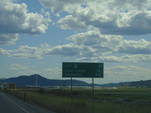
US-395 South - Distance Marker
Distance marker on US-395 south leaving Chewelah. Distance to Jct. WA-231, Loon Lake, and Spokane.
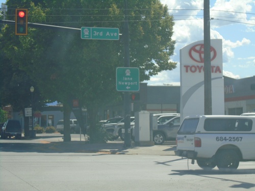
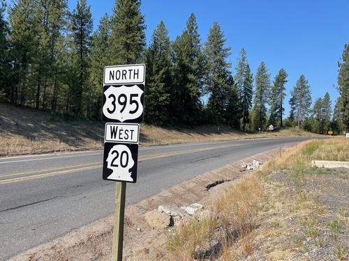
US-395 South/WA-20 East at US-395/WA-20 Split
US-395 South/WA-20 East at US-395/WA-20 Split in Colville. Turn left for WA-20 East (3rd Ave.) to Ione and Newport.
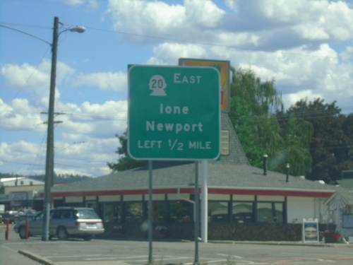
US-395 South/WA-20 East Approaching US-395/WA-20 Split
US-395 South/WA-20 East approaching US-395/WA-20 split. Use WA-20 East for Newport and Ione.
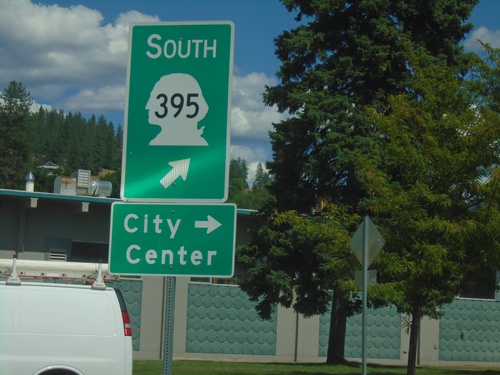
US-395 South/WA-20 East - Railroad St. Roundabout
US-395 South/WA-20 East - Railroad St. Roundabout in Colville. Merge right for Railroad St. south to (Colville) City Center. Merge left to continue on US-395 south, which is incorrectly signed as WA-395.
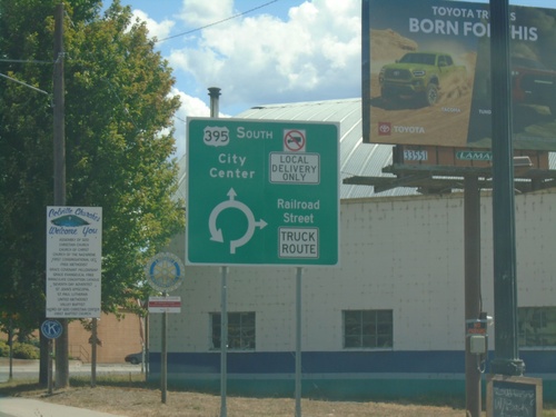
US-395 South/WA-20 East - Railroad St. Junction
US-395 South/WA-20 East at Railroad St. roundabout in Colville. Use Railroad St. southbound for Truck Route. Continue on US-395 South/(WA-20 East) for City Center.
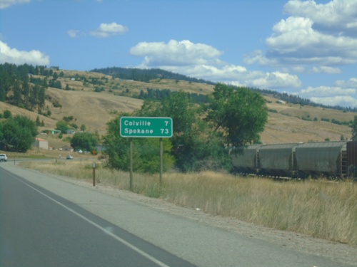
US-395 South/WA-20 East - Distance Marker
Distance Marker on US-395 South/WA-20 East. Distance to Colville and Spokane.
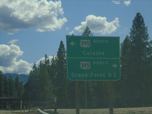
WA-25 South at US-395/WA-20
WA-25 South at US-395/WA-20 near Kettle Falls. Turn right for US-395 North/(WA-20 West) to Grand Forks, BC (Canada). Turn left for US-395 South/(WA-20 East) to Colville.
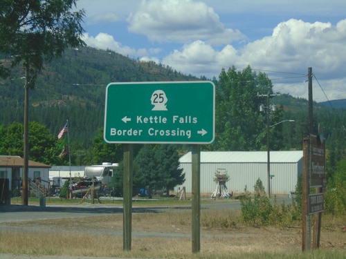
End Northport-Waneta Road at WA-25
End Northport-Waneta Road at WA-25 in Northport. Turn right on WA-25 North to (Port of Patterson) Border Crossing. Turn left on WA-25 South to Kettle Falls.
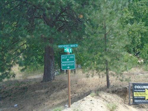
Northport-Waneta Road South at Deep Lake-Boundary Road
Northport-Waneta Road South at Deep Lake-Boundary Road. Turn right to continue south on Northport-Waneta Road to Northport. Turn left for Deep Lake-Boundary Road to Deep Lake.
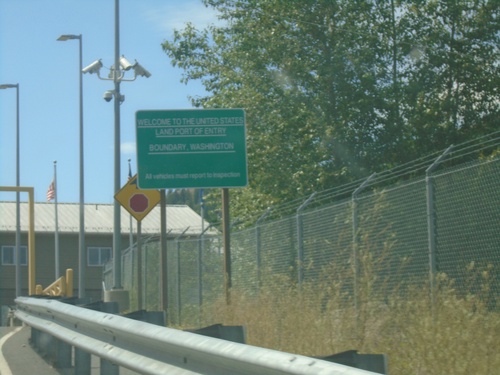
Welcome To The United States - Port of Boundary
Welcome to the United States - Land Port of Entry - Boundary, Washington. Approaching border station on Northport-Waneta Road southbound.
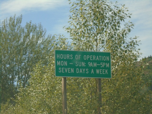
Entering United States - Port of Boundary
Entering the United States at the Port of Boundary. Hours of Operation Mon-Sun 9AM-5PM - Seven Days a Week. The actual port facilities are about a quarter mile to the south up a hill.
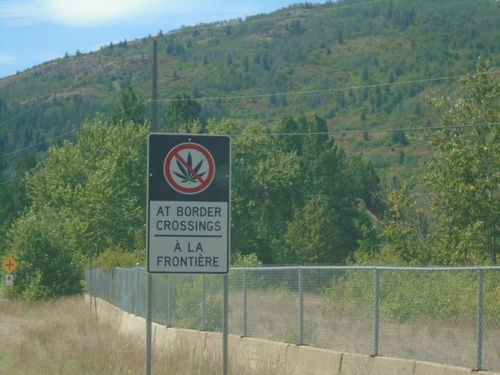
BC-22A South - No Cannabis at Border Crossings
BC-22A South - Bilingual No Cannabis at Border Crossings sign approaching US/Canada border. While Cannabis is legal in Canada, and legal in the US State of Washington on the other side of the border, it is illegal at the US federal level.
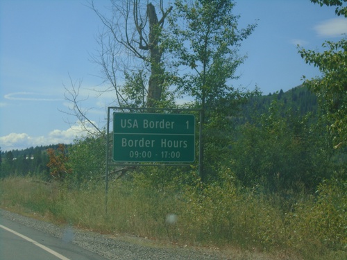
BC-22A South - Distance Marker
Distance marker on BC-22A south. USA Border 1km - Border Hours 09:00 - 17:00. Approaching Port of Waneta (Canada) and Port of Boundary (US).
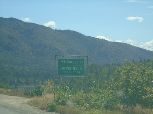
BC-22A South - Distance Marker
Distance marker on BC-22A south. Distance to USA Border. Border hours at Port of Boundary are 09:00 to 17:00.
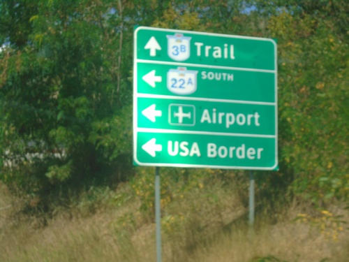
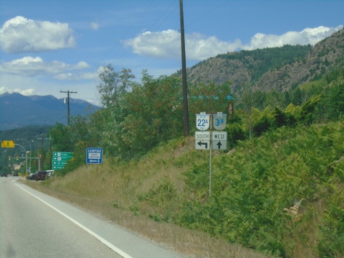
BC-3B West at BC-22A South
BC-3B West at BC-22A South in Trail. Use BC-22A south to (Trail Regional) Airport and USA Border (Port of Boundary). Continue west on BC-3B for Trail.
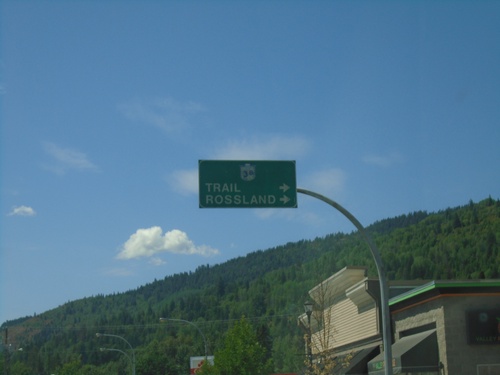
BC-3B West - Fruitvale
BC-3B West in Fruitvale. Turn right to continue on BC-3B to Trail and Rossland.
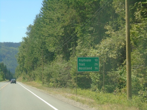
BC-3B West - Distance Marker
Distance marker on BC-3B West. Distance to Fruitvale, Trail, and Rossland.
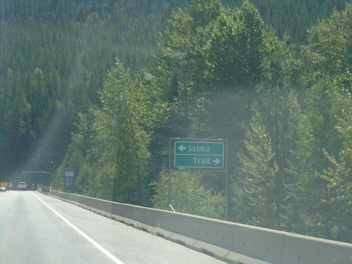
BC-3 East Approaching BC-3B
BC-3 East approaching BC-3B in Central Kootenay Regional District. Turn left for BC-3 East to Salmo; right for BC-3B West to Trail.
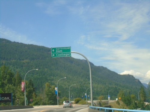
Robson Road at Columbia Ave - Castlegar
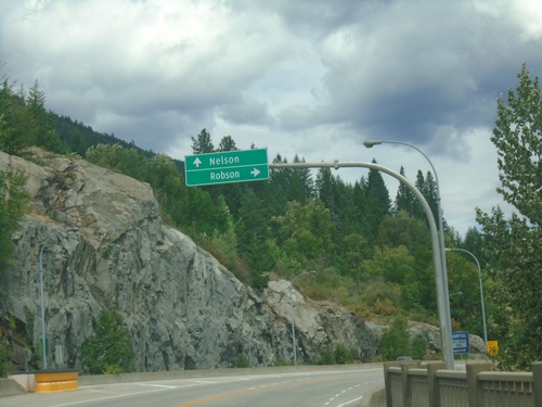
Robson Road at Columbia Ave at the end of the Columbia River Bridge. Turn left for (Columbia Ave.) to Castlegar. Continue straight for Hugh Keenleyside Dam. The Hugh Keenleyside Dam is on the Columbia River creating the Arrow Lakes.
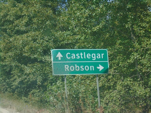
Robson Access Road East at Broadwater Road
Robson Access Road East at Broadwater Road. Turn right for Robson; continue straight for Castlegar.
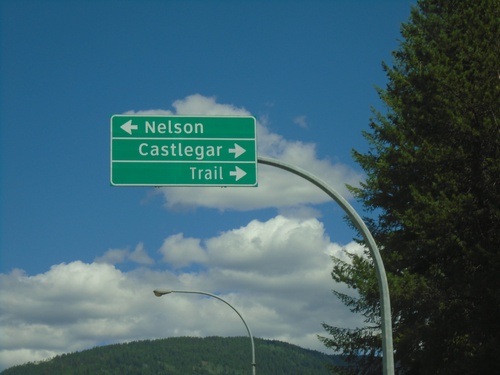
BC-6 South at BC-3A Junction
BC-6 South at BC-3A. Turn right for BC-3A west to Castlegar and Trail; turn left for BC-3A east and BC-6 south to Nelson. BC-6 south joins BC-3A east to Nelson.
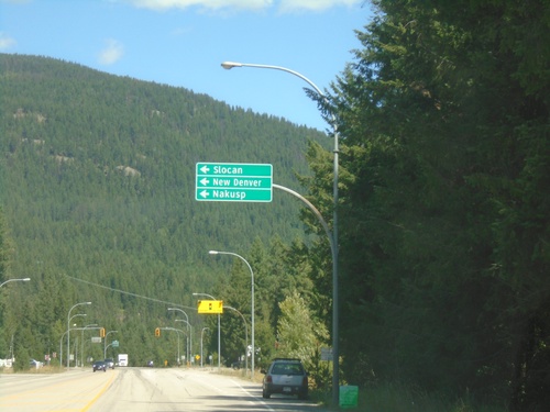
BC-3A East at BC-6 - South Slocan
BC-3A East at BC-6 in South Slocan. Turn left for BC-6 north to Slocan, New Denver, and Nakusp.
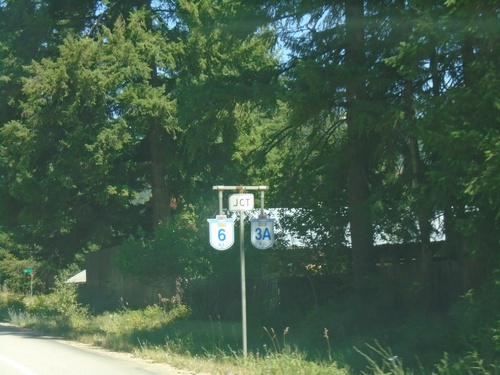
BC-3A East Approaching BC-6
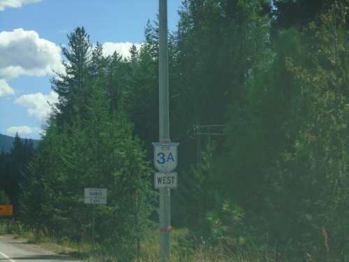
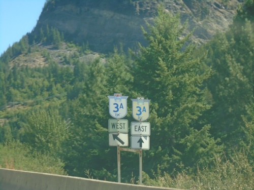
BC-3A East approaching BC-6 in South Slocan. BC-6 South joins BC-3A eastbound to Nelson.
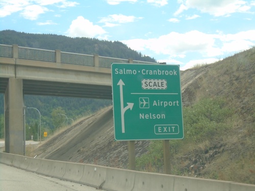
BC-3 East at BC-3A Interchange
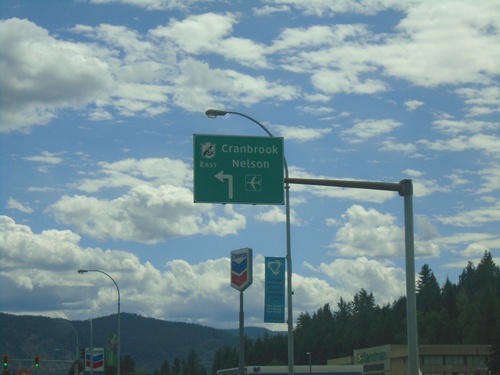
BC-3 East at BC-3A interchange in Castlegar. Use BC-3A for Airport and Nelson. Continue east on BC-3 for Cranbrook and Salmo.
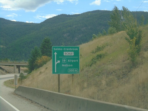
BC-3 East Approaching BC-3A Interchange
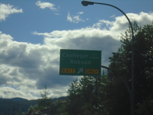
BC-3 East approaching BC-3A interchange. Exit for (BC-3A)/Airport/Nelson. Continue on BC-3 for Salmo-Cranbrook.
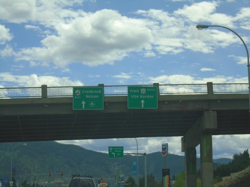
Begin BC-22 South at BC-3 East
Begin BC-22 South at BC-3 East. Use left lane for BC-3 East/Cranbrook/Nelson. Continue south for BC-22/Trail/USA Border.
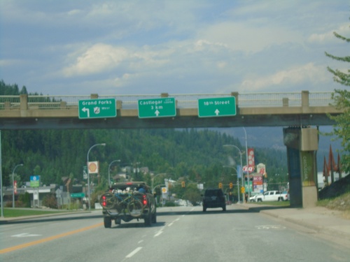
End BC-22 North at BC-3 West
End BC-22 North at BC-3 West in Castlegar. Use BC-3 West to Grand Forks. Use middle lanes for Castlegar City Centre (via Columbia Ave.). Use right lane for 18th St.
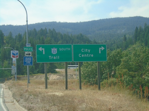
BC-3 East Offramp at BC-22
BC-3 East Offramp at BC-22 (Columbia Ave.) in Castlegar. Turn left for BC-22 south to Trail; right for (Castlegar) City Centre.
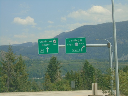
BC-3 East Approaching BC-22 - Castlegar
BC-3 East Approaching BC-22 in Castlegar. Exit for BC-22 South/Castlegar/Trail. Continue on BC-3 East for Cranbrook and Nelson.
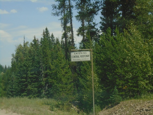
BC-3 East - Central Kootenay Regional District
Entering Central Kootenay Regional District on BC-3 east.
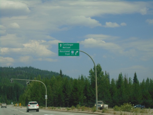
BC-3 East at BC-3B
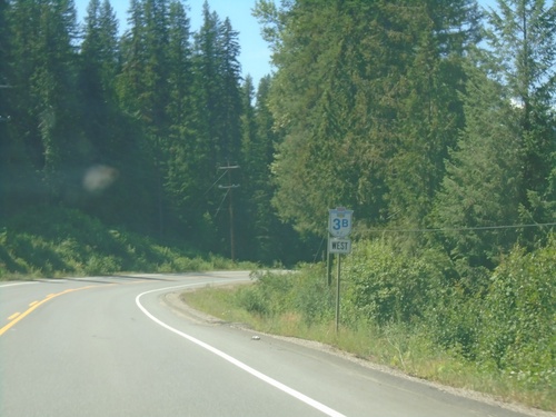
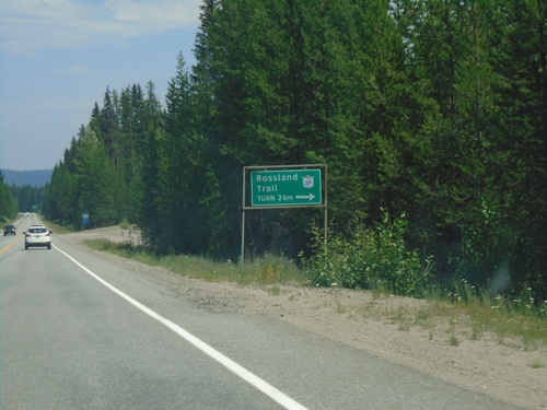
BC-3 East at BC-3B Junction. Use BC-3B east for Rossland and Trail. Continue east on BC-3 for Castlegar and Nelson. BC-3B rejoins BC-3 near Salmo.
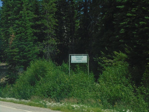
BC-3 East - Paulson Summit
Paulson Summit - Elevation 1535m. Paulson Summit, also called Bonanza Pass is in the Monashee Mountains.
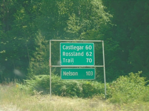
BC-3 East - Distance Marker
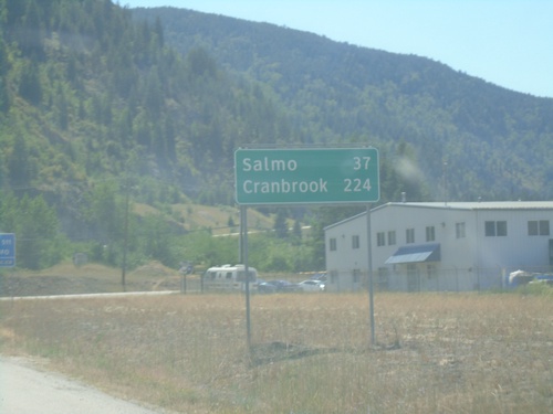
Distance marker on BC-3 east. Distance to Castlegar, Rossland, Trail, and Nelson.
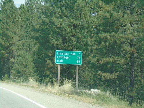
BC-3 East - Distance Marker
Distance marker on BC-3 east. Distance to Christina Lake, Castlegar, and Trail.
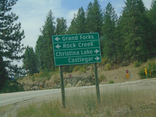
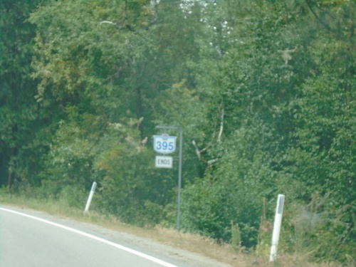
End BC-395 North at BC-3
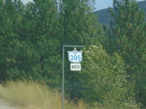
End BC-395 North at BC-3. Use BC-3 west for Grand Forks and Rock Creek. Use BC-3 east for Castlegar and Christina Lake.
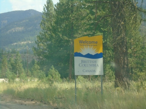
BC-395 - Welcome To British Columbia
Welcome to British Columbia Canada on BC-395 North. Taken just north of the US/Canada border.
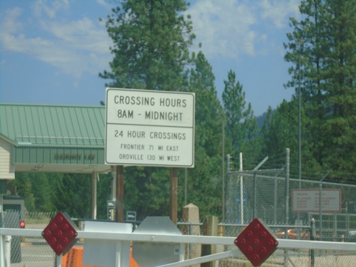
End US-395 North at the Canada Border
End US-395 North at the Canada Border. The fence in the background marks the border. The border crossing hours are 8AM to Midnight. Neighboring 24 hour ports of entry are listed - Port of Frontier (via WA-25) and Port of Oroville (via US-97).
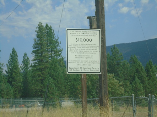
US-395 North - Currency Export Information
Information about exporting over $10,000 USD in currency - approaching the US/Canada Border.
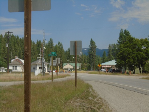
End of US-395 North at the US/Canada Border
End of US-395 North at the US/Canada Border. The Port of Laurier on the United States side is to the left; the Port of Cascade on the Canadian side is straight ahead.
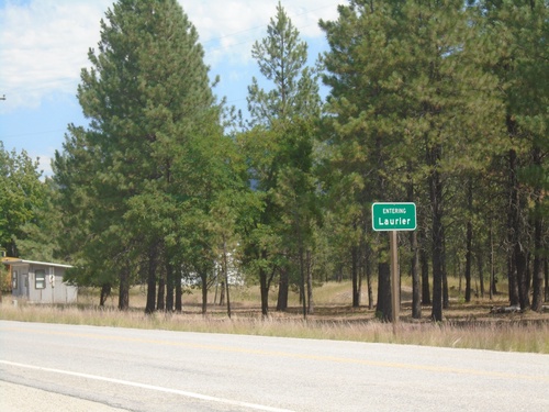
US-395 North - Laurier
Entering Laurier on US-395 North approaching the Canadian border. This is the northern terminus of US-395.
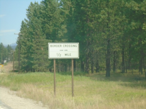
US-395 North - Border Crossing
US-395 north approaching Border Crossing. Hours 8AM - 8PM. The United States side is Port of Laurier, the Canadian side is Port of Cascade.
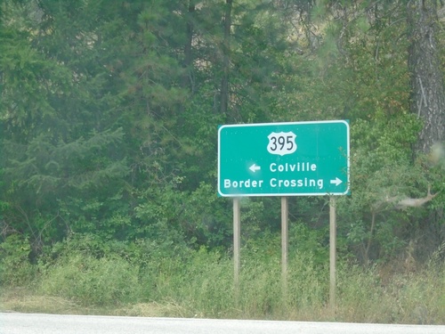
Main St. at US-395 - Orient
Main St. at US-395 in Orient. Use US-395 north to Border Crossing; US-395 south to Colville.
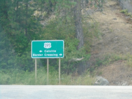
Northport-Flat Creek Road at US-395
Northport-Flat Creek Road at US-395 in Ferry County. Use US-395 north to Border Crossing; US-395 south to Colville.
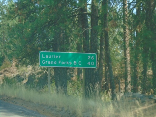
US-395 North - Distance Marker
Distance marker on US-395 north. Distance to Laurier and Grand Forks, BC. Laurier is settlement at the US/Canada Border.
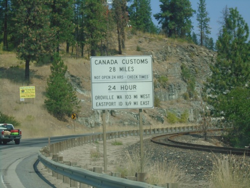
US-395 North - Border Crossing Hours
Border Crossing information on US-395 North. Port of Laurier on US-395 north is not a 24 hour port of entry. For 24 hour port of entries, use Port of Oroville (to the west on US-97) or Port of Eastport, Idaho (to the east on US-95). This sign is typical on highways leading to ports of entry not open 24 hours in Washington.
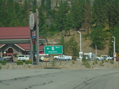
US-395 North/WA-20 West at US-395/WA-20 Split
US-395 North/WA-20 West at US-395/WA-20 split in Ferry County. Use WA-20 west to Republic.
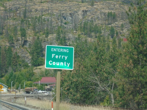
US-395 North/WA-20 West - Ferry County
Entering Ferry County at the foot of the Columbia River bridge on US-395 North/WA-20 West.
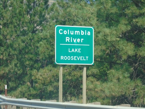
US-395 North/WA-20 West - Columbia River
US-395 North/WA-20 West at Columbia River/Lake Roosevelt Bridge. Lake Roosevelt is created by the Grand Coulee Dam.
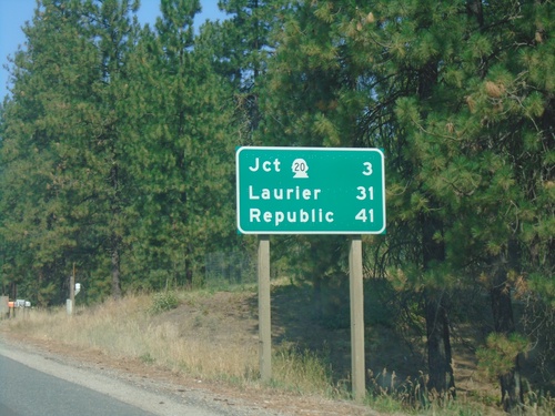
US-395 North/WA-20 West - Distance Marker
Distance Marker on US-395 North/WA-20 West. Distance to WA-20, Laurier (via US-395), and Republic (via WA-20).
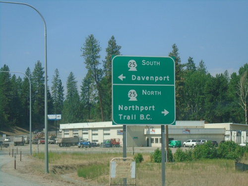
US-395 North/WA-20 West at WA-25
US-395 North/WA-20 West at WA-25. Use WA-25 north to Northport and Trail, BC. Use WA-25 south for Davenport.
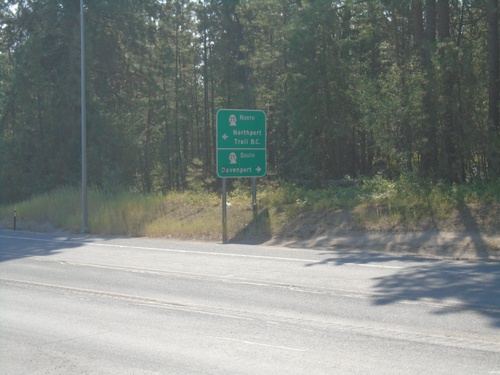
US-395 South at WA-25
US-395 South at WA-25 in Kettle Falls. Use WA-25 north to Northport and Trail, BC. Use WA-25 south for Davenport.
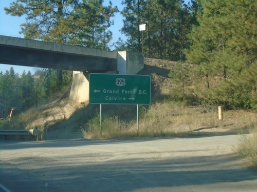
WA-25 North at US-395
WA-25 North at US-395 in Kettle Falls. Use US-395 north to Grand Forks, BC; use US-395 south to Colville.
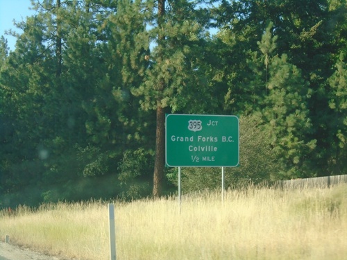
WA-25 North Approaching US-395
WA-25 North approaching US-395 in Kettle Falls. Use US-395 for Grand Forks, BC and Colville.
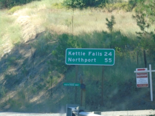
WA-25 North - Distance Marker
Distance marker on WA-25 north. Distance to Kettle Falls and Northport.
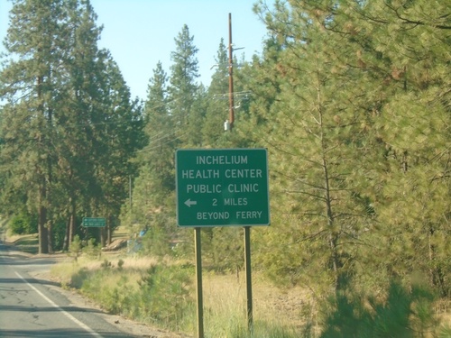
WA-25 North Approaching Gifford Ferry
WA-25 North approaching Gifford Ferry dock. Use the Gifford Ferry for the Inchelium Health Center Public Clinic.
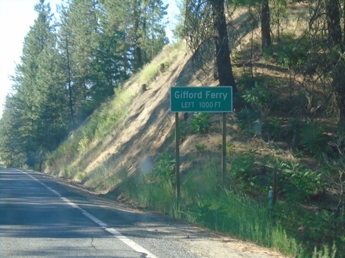
WA-25 North Approaching Gifford Ferry
WA-25 North approaching Gifford Ferry. The Gifford Ferry crosses the Columbia River between Gifford and Inchelium.
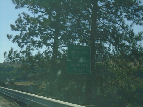
WA-25 North - Stevens County/Spokane River
Entering Stevens County on WA-25 north, crossing the Spokane River.
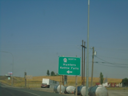
US-2 East at WA-25 North
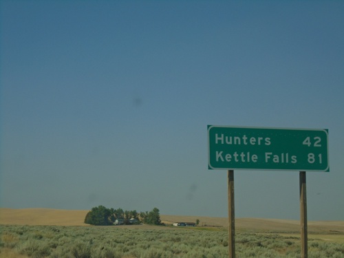
US-2 East at WA-25 North in Davenport. Use WA-25 north for Hunters and Kettle Falls.
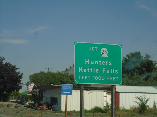
US-2 East Approaching WA-25 North
US-2 East approaching WA-25 North in Davenport. Use WA-25 north to Hunters and Kettle Falls.
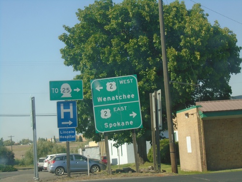
End WA-28 East at US-2
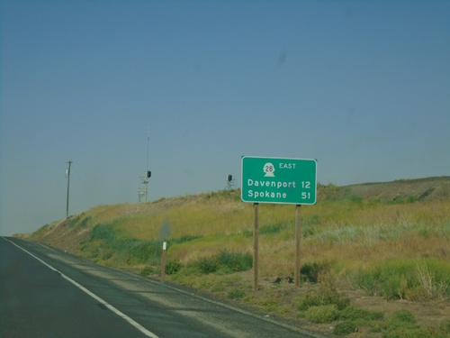
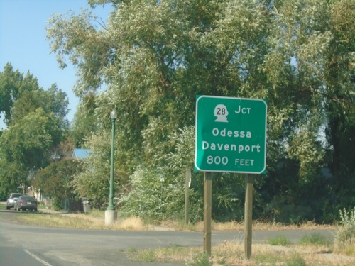
End WA-28 East at US-2 in Davenport. Use US-2 west to Wenatchee; US-2 east to Spokane and WA-25.
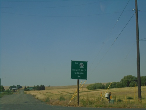
Coal Creek Road North at WA-23
Coal Creek Road North at WA-23 in Harrington. Use WA-23 north to WA-28/Davenport/Odessa.
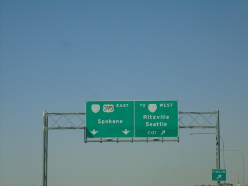
US-395 North at I-90 - Ritzville
US-395 north at I-90 in Ritzville. Exit for To I-90 West/Seattle/Ritzville. Continue on freeway for I-90 East/US-395 North/Spokane. US-395 north joins I-90 east to Spokane.
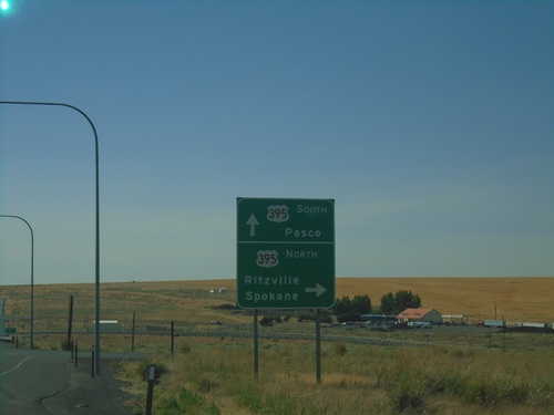
WA-26 West at US-395
WA-26 West at US-395. Use US-395 north to Ritzville and Spokane; US-395 south to Pasco.
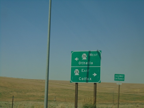
US-395 North Offramp To WA-26
US-395 North offramp to WA-26. Use WA-26 west to Othello; WA-26 east to Colfax.
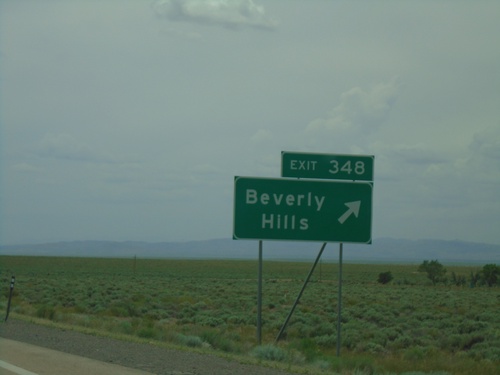
I-80 West - Exit 348
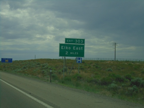
I-80 West at Exit 348 - Beverly Hills. This exit was formerly titled Crested Acres.
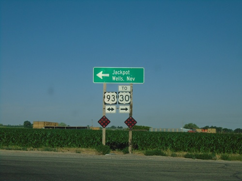
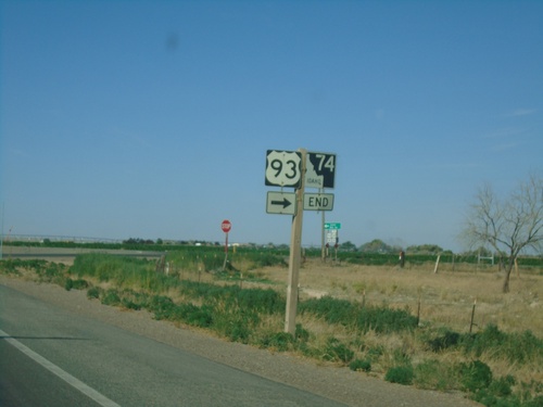
End ID-74 South at US-93
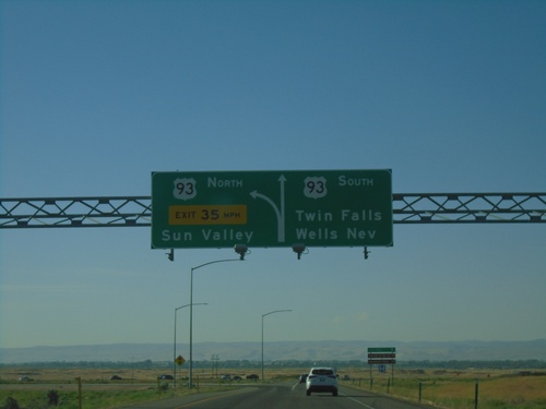
End ID-74 South at US-93. Turn left for US-93 south to Jackpot (Nevada) and Wells, Nev. Turn right for US-93 North to US-30.
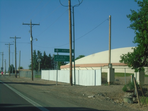
ID-74 South Approaching E 3600 N
ID-74 South (Washington St.) approaching E 3600 N. Turn right to continue south on ID-74 to Jct. US-93 and Jackpot (Nevada). Continue south on Washington St. to (Magic Valley Regional) Airport.
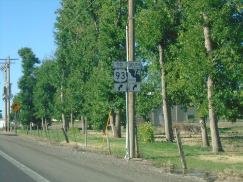
Washington St. South Approaching E 3600 N
Washington St. South approaching E 3600 N. Turn right on E 3600 North to continue south on ID-74/To US-93.
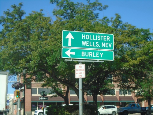
ID-74 South at US-30 East
ID-74 South (Shoshone St.) at US-30 East (2nd Ave. South) to Burley. Continue south on ID-74 for Hollister and Wells, Nev.
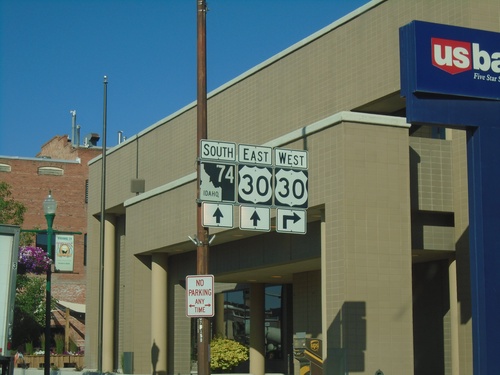
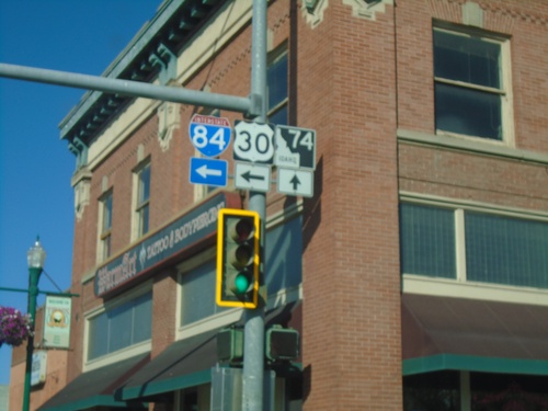
Shoshone St. South at ID-74 and US-30
Shoshone St. South at ID-74 and US-30 in Twin Falls. Turn right on 2nd Ave. North for US-30 West. Continue south one block for US-30 East. ID-74 southbound begins here.
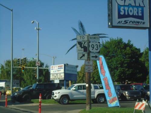
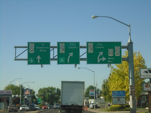
Business US-93 South (Blue Lakes) at Shoshone St. (To ID-74)
Business US-93 South (Blue Lakes) at Shoshone St. (To ID-74). Turn hard right to continue south on Bus. US-93. Turn right for Shoshone St. to ID-74.
