Signs From September 2023
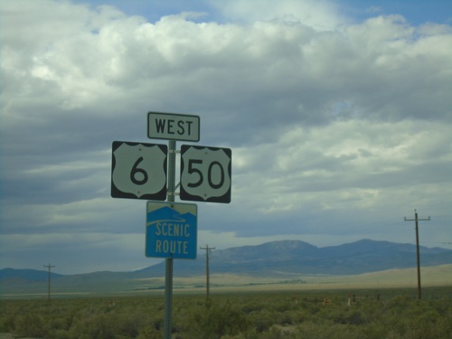
US-6/US-50 West - White Pine County
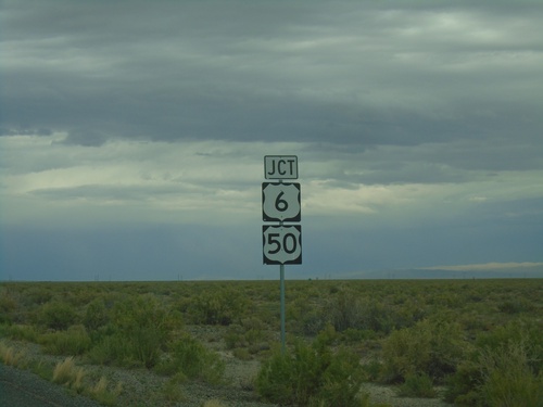
First US-6/US-50 west shields in Nevada. US-6/US-50 is part of a Nevada scenic route between the Utah-Nevada state line to Ely.
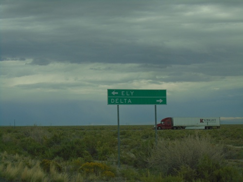
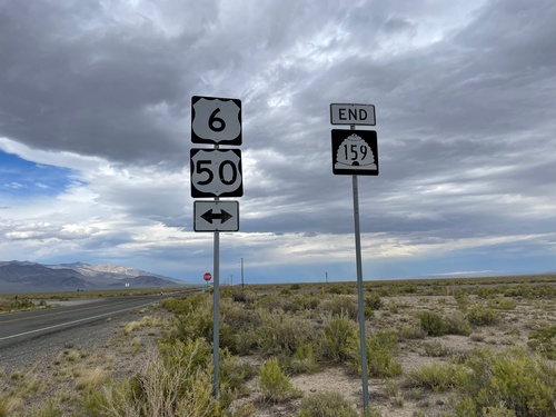
End UT-159 North at US-6/US-50
End UT-159 North at US-6/US-50 in Millard County. Use US-6/US-50 East to Delta; US-6/US-50 West to Ely (Nevada).
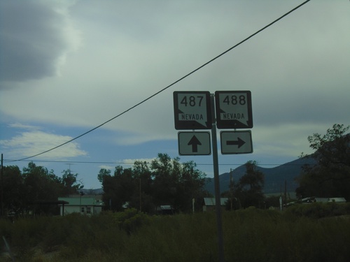
NV-487 South at NV-488
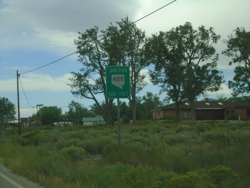
NV-487 south at NV-488 in Baker. NV-488 connects Baker with Great Basin National Park.
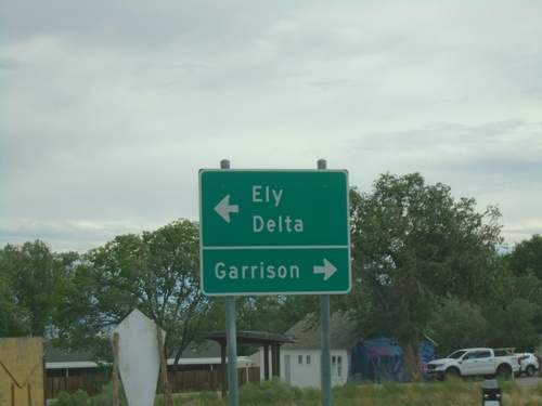
End NV-488 East at NV-487
End NV-488 East at NV-487 in Baker. Use NV-487 south for Garrison (Utah). Use NV-487 north for Delta (Utah) and Ely.
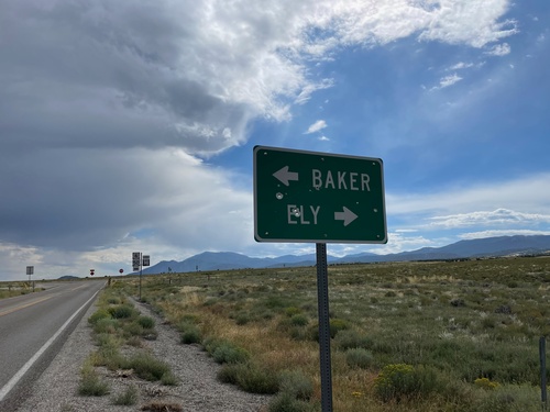
End NV-893 South at US-6/US-50
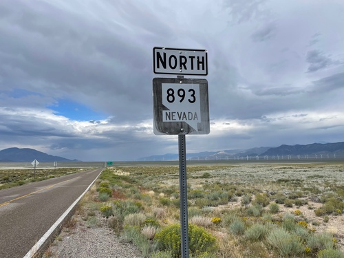
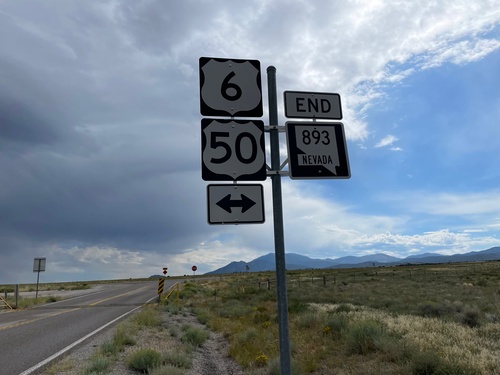
End NV-893 South at US-6/US-50 in White Pine County. Use US-6/US-50 East to Baker; US-6/US-50 West to Ely.
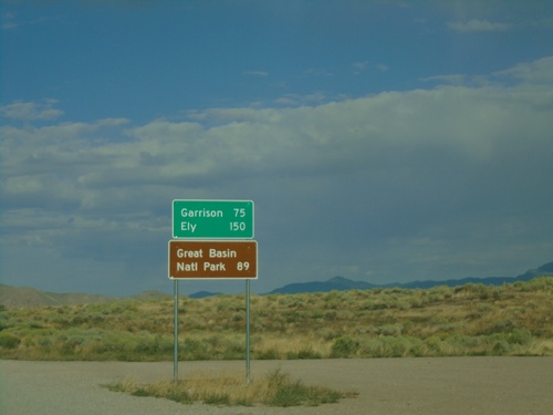
UT-21 West - Distance Marker
Distance marker on UT-21 west. Distance to Garrison, Ely (Nevada) and Great Basin National Park (Nevada).
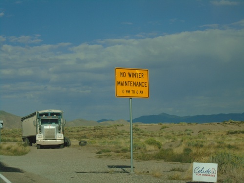
UT-21 West - Winter Maintenance Hours
Winter Maintenance Hours on UT-21 west. Highway is not maintained between 10PM and 6AM.
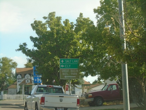
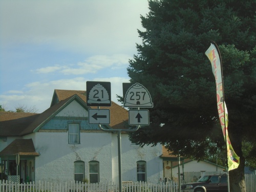
UT-21 West at UT-257
UT-21 West at UT-257 in Milford. Turn left to continue on UT-21 west to Ely (Nevada) and Great Basin National Park. Continue north on UT-257 for Salt Lake.
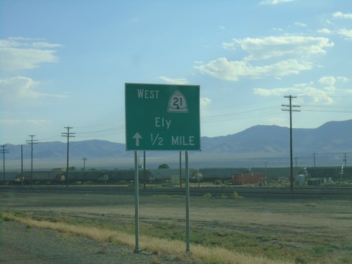
UT-21 West - Milford
UT-21 west in Milford. Continue west on UT-21 for Ely (Nevada). The 1/2 mile specifies the junction with where UT-21 traffic needs to turn.
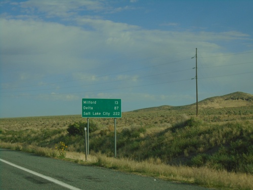
UT-21 West - Distance Marker
Distance marker on UT-21 West. Distance to Milford, Delta, and Salt Lake City.
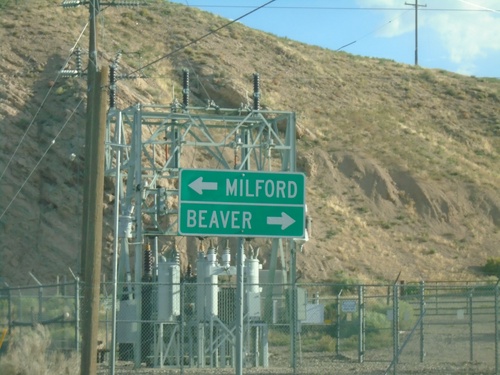
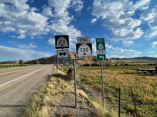
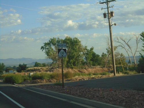
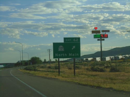
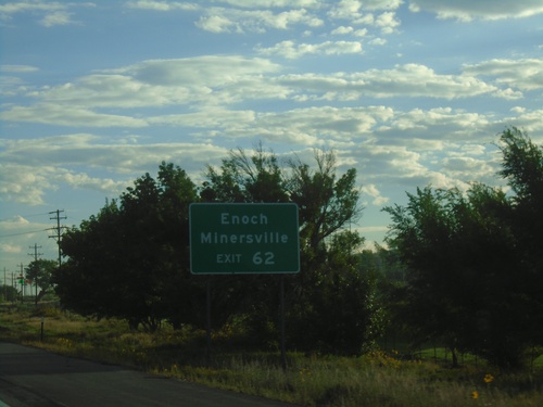
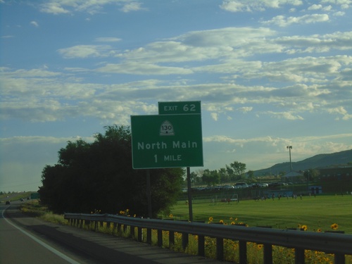
End UT-130 North at UT-21
End UT-130 North at UT-21 in Minersville. Use UT-21 West to Milford; UT-21 East to Beaver.
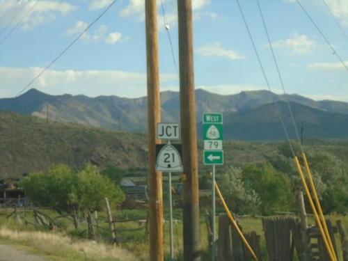
UT-130 North Approaching UT-21
UT-130 North approaching UT-21 in Minersville. Use UT-21 west for US Bicycle Route 79.
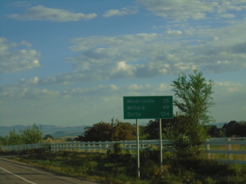
UT-130 North - Distance Marker
Distance marker on UT-130 north. Distance to Minersville, Milford, and Delta.
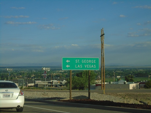
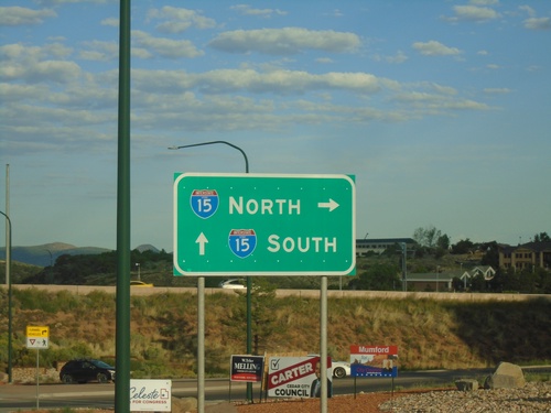
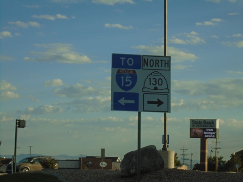
UT-130/BL-15 North at I-15 South
UT-130/BL-15 North at I-15 South. Use I-15 south for St. George and Las Vegas (Nevada). This is the northern end of the Cedar City business loop.
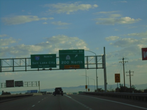
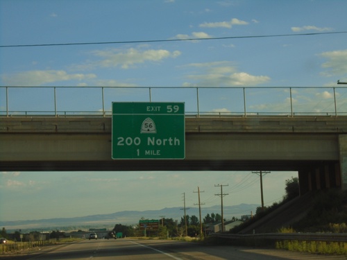
I-15 North - Exit 59
I-15 north at Exit 59 - UT-56/200 North. I-15 continues north towards Salt Lake City.
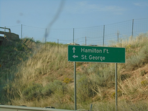
County Road at I-15 South (Exit 51)
County Road at I-15 South (Exit 51). Use I-15 south to St. George; continue north on county road to Hamilton Fort.
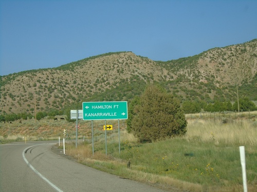
I-15 North - Exit 51 Offramp
I-15 north Exit 51 offramp at county road junction. Turn left for Hamilton Fort; right for Kanarraville.
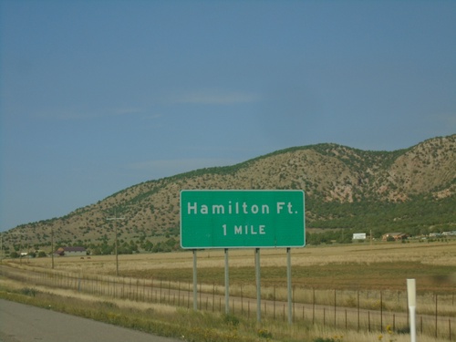
I-15 North - Exit 51
I-15 north approaching Exit 51 - Hamilton Fort. The exit number tab is missing from this sign assembly.
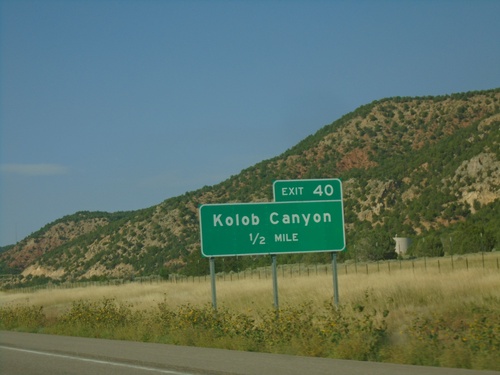
I-15 North - Exit 40
I-15 north approaching Exit 40 - Kolob Canyon. Exit 40 provides access to the Kolob Canyons section of Zion National Park.
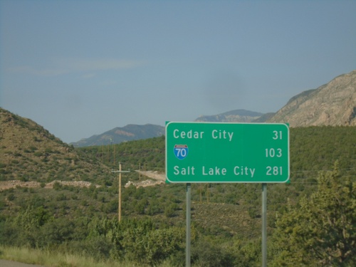
I-15 North - Distance Marker
Distance marker on I-15 north. Distance to Cedar City, I-70 Junction, and Salt Lake City.
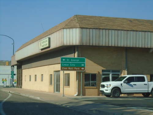
UT-59 West Approaching UT-9
UT-59 West approaching UT-9 in Hurricane. Use UT-9 west for St. George; UT-9 east for Cedar City and Zion National Park.
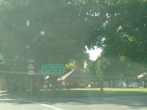
UT-59 West - Hurricane
UT-59 west in Hurricane (E 100 S at Main St.). Turn right to continue west on UT-59 for St. George and Cedar City.
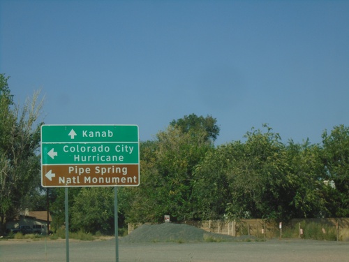
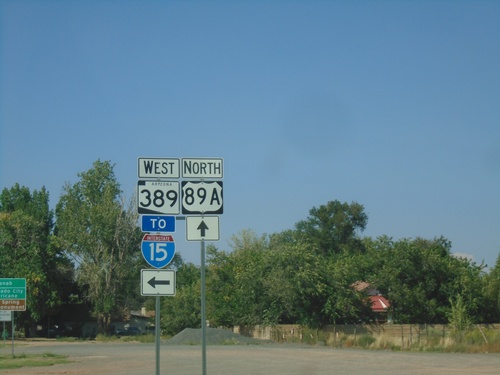
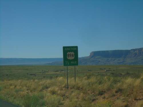
US-89A North at AZ-389
US-89A North at AZ-389 in Fredonia. Continue north on US-89A for Kanab (Utah). Use AZ-389 West to Colorado City, Hurricane (Utah) and Pipe Spring National Monument.
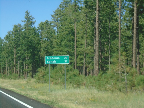
US-89A North - Distance Marker
Distance marker on US-89A North. Distance to Fredonia and Kanab (Utah).
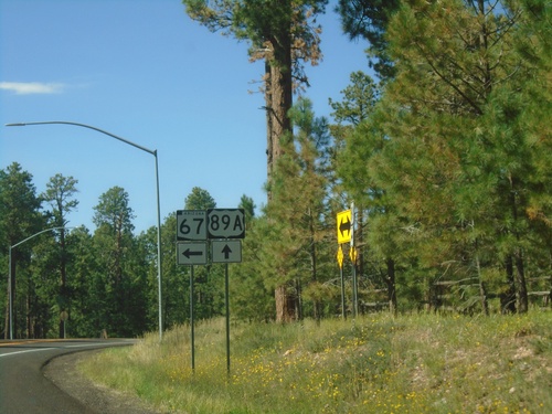
US-89A North at AZ-67
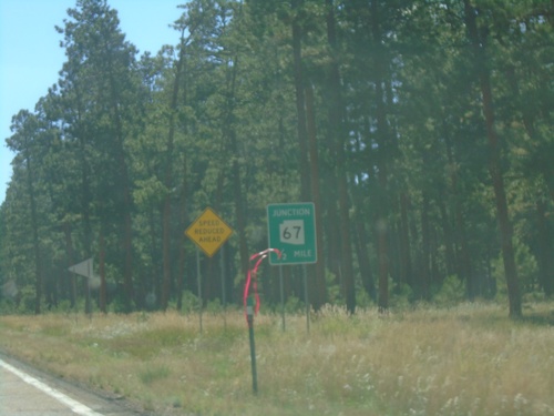
US-89A North at AZ-67 in Jacob Lake. AZ-67 provides access to the North Rim of the Grand Canyon.
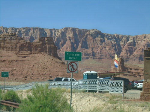
US-89A North - Colorado River
Colorado River (Navajo Bridge) on US-89A north. Elevation 3537 Feet. The Vermillion Cliffs are in the background. The next road crossing of the Colorado River south of here is US-93 below Hoover Dam. Between the Navajo Bridge and Hoover Dam lies the Grand Canyon and Lake Mead.
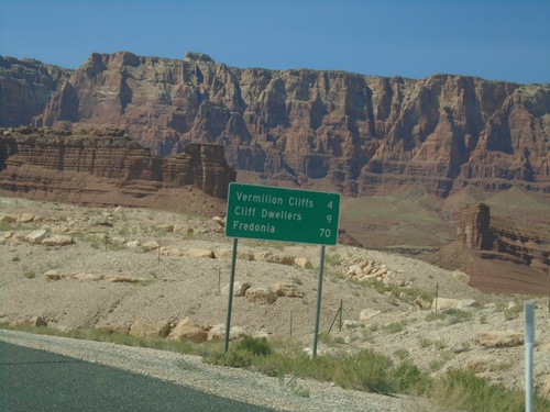
US-89A North - Distance Marker
Distance marker on US-89A North to Vermillion Cliffs, Cliff Dwellers, and Fredonia. Approaching Navajo Bridge where US-89A crosses the Colorado River.
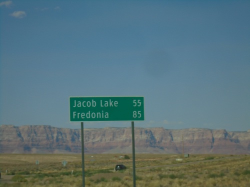
US-89A North - Distance Marker
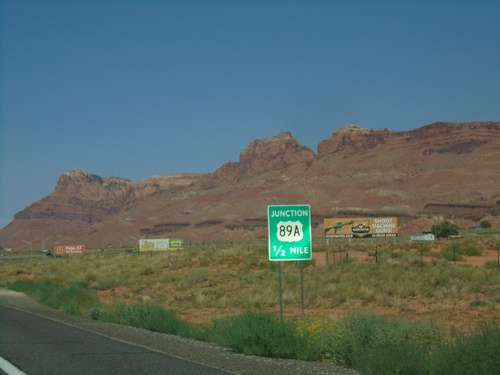
Distance marker on US-89A north. Distance to Jacob Lake and Fredonia. The Vermilion Cliffs are in the background.
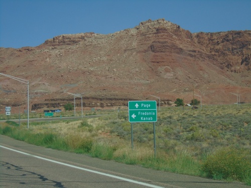
US-89 North at US-89A
US-89 North at US-89A. Use US-89A North to Fredonia and Kanab (Utah). Continue north on US-89 for Page. US-89 and US-89A re-join in Kanab. The shortest travel time between this junction and Kanab would actually be using US-89.
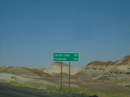
US-89 North - Distance Marker
Distance marker on US-89 north. Distance to Jacob Lake and Fredonia. Both of those destinations are via US-89A.
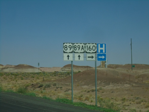
US-89 North at US-160
US-89 North at US-160 near Tuba City. US-89A is also displayed here, but without the TO banner.
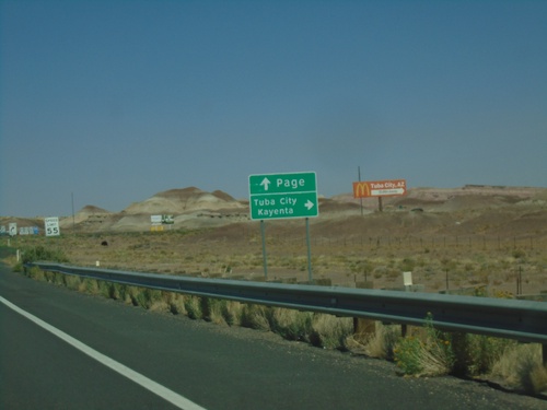
US-89 North Approaching US-160
US-89 North approaching US-160 near Tuba City. Use US-160 East to Tuba City and Kayenta. Continue north on US-89 for Page.
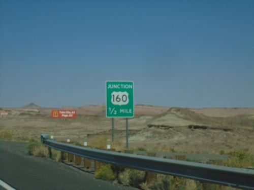
US-89 North Approaching US-160
US-89 North approaching US-160 in Coconino County. This is the western end of US-160.
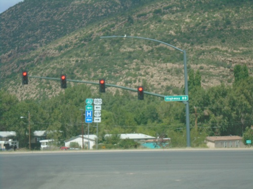
BL-40/US-180 West at US-89 - Flagstaff
BL-40/US-180 West at US-89 in Flagstaff. Turn left to continue on BL-40/US-180; turn right for US-89 North. This is the southern terminus of US-89.
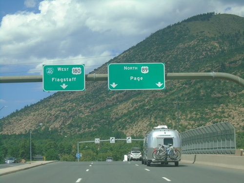
BL-40/US-180 West at US-89
BL-40/US-180 West at US-89 in Flagstaff. Use left lanes to continue west on BL-40/US-180 to Flagstaff. Use right lanes for US-89 North to Page.
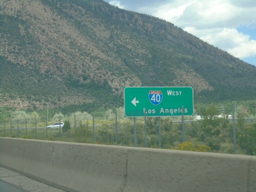
BL-40/US-180 East at I-40 West (Exit 201)
BL-40/US-180 East at I-40 West (Exit 201) in Flagstaff. Use I-40 west for Los Angeles (California).
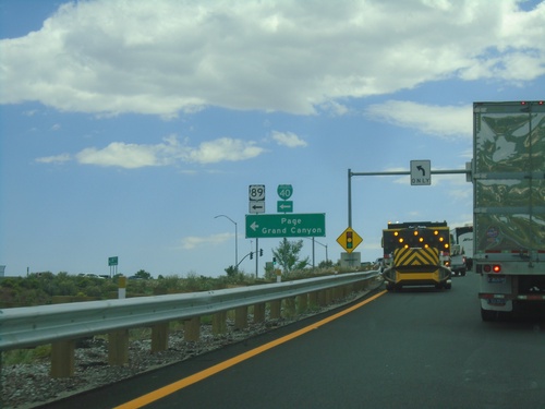
I-40 East - Exit 201 Offramp
I-40 East - Exit 201 offramp at BL-40/(To)US-89 to Page and Grand Canyon.
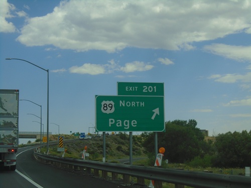
I-40 East - Exit 201
I-40 east at Exit 201 - US-89 North/Page. This is the southern end of US-89, and the eastern end of the Flagstaff business loop.
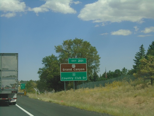
I-40 East - Exit 201
I-40 east approaching Exit 201. Use Exit 201 for US-89 North to Grand Canyon and BL-40/Country Club Drive.
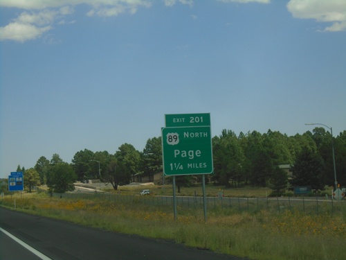
I-40 East - Exit 201
I-40 east approaching Exit 201 - US-89 North/Page. This is the eastern end of the Flagstaff business loop.
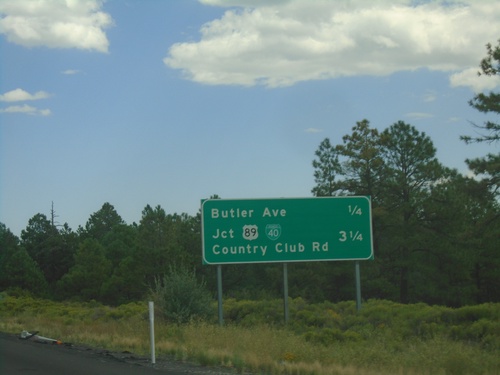
I-40 East - Flagstaff Exits
Next exits on I-40 east. Approaching Butler Ave. and BL-40/US-89/Country Club Road.
I-40 East - Distance Marker
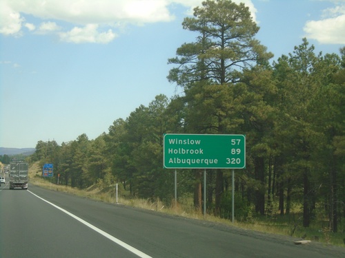
Distance marker on I-40 east. Distance to Winslow, Holbrook, and Albuquerque (New Mexico).
I-40 East - Exit 195
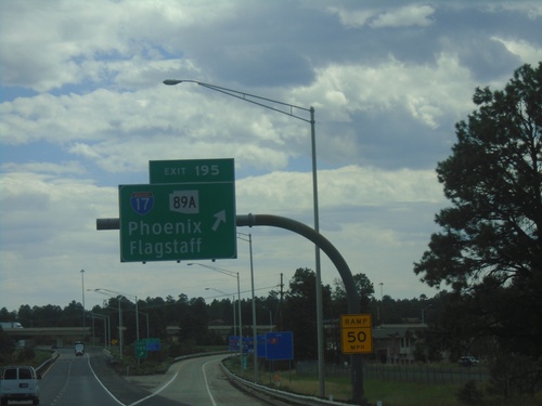
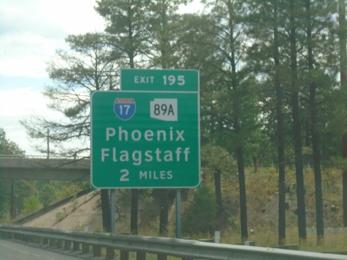
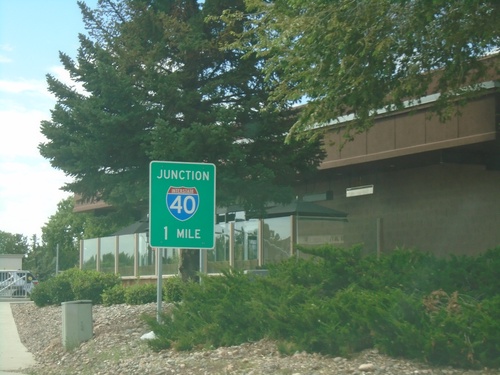
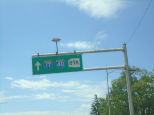
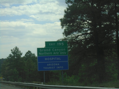
I-40 east approaching Exit 195. Use Exit 195 - I-17/AZ-89A North for Northern Arizona University and Grand Canyon.
I-40 East - Flagstaff
Entering Flagstaff on I-40 east. Flagstaff is the county seat of Coconino County.
Flagstaff Ranch Road at I-40 East
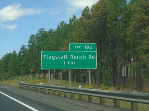
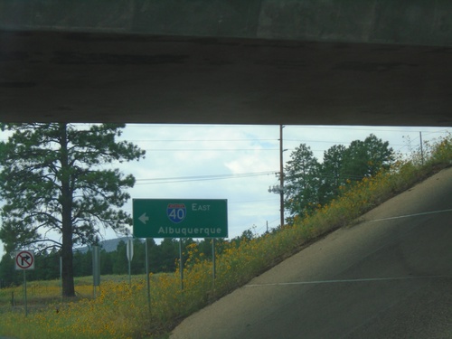
Flagstaff Ranch Road at I-40 East (Exit 192) onramp. Use I-40 east to Albuquerque (New Mexico).
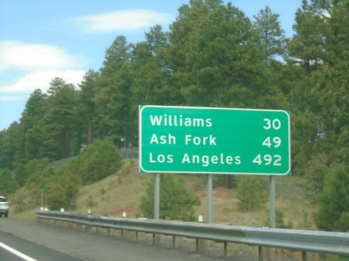
I-40 West - Distance Marker
Distance marker on I-40 west. Distance to Williams, Ash Fork, and Los Angeles (California).
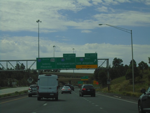
Begin I-17 Southbound - Exit 340A-B
Beginning of I-17 southbound at Exit 340B - I-40 West/Los Angeles (California); Exit 340A - I-40 East/Albuquerque (New Mexico). Continue south on I-17/AZ-89A for Sedona and Phoenix.
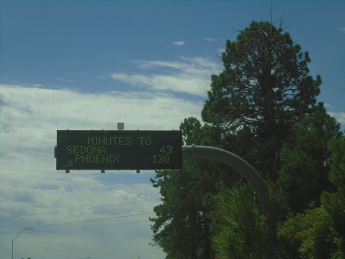
Travel Time on AZ-89A South Approaching I-17
Travel Time on AZ-89A South approaching I-17. Time estimates for Sedona (via AZ-89A) and Phoenix (via I-17).
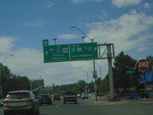
BL-40 West at AZ-89A - Flagstaff
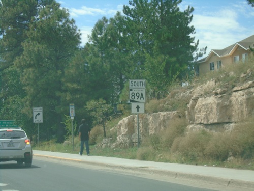
BL-40 West (Milton Road) at AZ-89A. Turn right to continue west on BL-40 to I-40 West/Historic US-66/Los Angeles (California). Continue straight for AZ-89A south to I-17/I-40/Sedona/Phoenix.
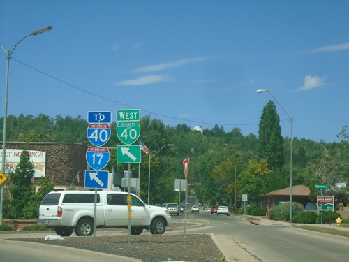
BL-40 West - Flagstaff
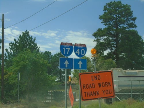
BL-40 west at transition from Route 66 to Milton Road. Merge left to continue on BL-40 West to I-17 and I-40.
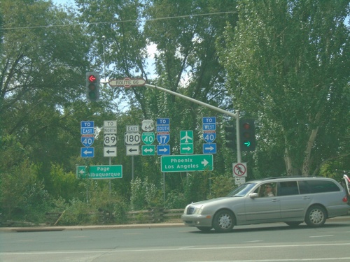
US-180 East at BL-40 in Flagstaff
US-180 East at BL-40 in Flagstaff. Turn left for US-180 East/BL-40 East/To I-40 East/To US-89/Page/Albuquerque (New Mexico). Turn right for BL-40 West/To I-40 West/To I-17/Phoenix/Los Angeles (California).
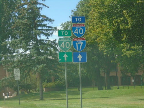
US-180 East/To I-17/To I-40/To BL-40 - Flagstaff
US-180 East/To I-17/To I-40/To BL-40 on Humphreys St in Flagstaff.
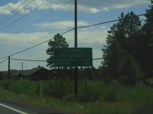
US-180 East - Flagstaff
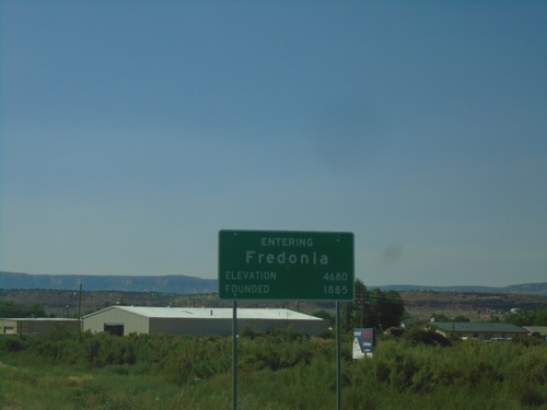
Entering Flagstaff on US-180 east. Elevation 6906 Feet; Founded 1882. Flagstaff is the county seat of Coconino County.
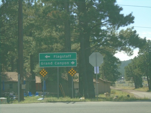
Arizona Snowbowl Road at US-180
Arizona Snowbowl Road at US-180 in Coconino County. Use US-180 west to Grand Canyon; US-180 east to Flagstaff.
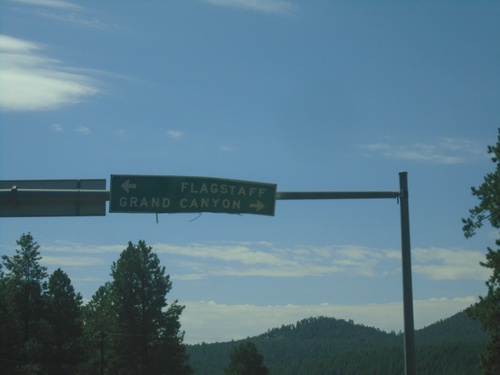
Arizona Snow Bowl Road at US-180
Arizona Snowbowl Road at US-180. Use US-180 west to Grand Canyon; US-180 east to Flagstaff.
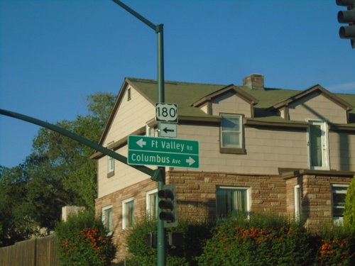
US-180 West - Humphreys St at Fort Valley Road
US-180 West - Humphreys St at Fort Valley Road and Columbus Ave. Turn left on Fort Valley Road to continue west on US-180.
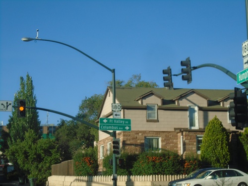
US-180 West - Humphreys St at Fort Valley Road
US-180 West - Humphreys St at Fort Valley Road and Columbus Ave. Turn left on Fort Valley Road to continue west on US-180.
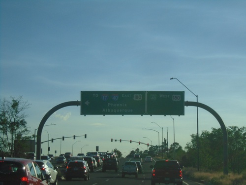
End US-89 South at US-180/BL-40
End US-89 South at US-180/BL-40 in Flagstaff. BL-40/US-180 continues westbound into Flagstaff. Turn left for BL-40/US-180 East to I-40 and I-17 to Phoenix and Albuquerque.
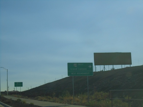
US-89 South Approaching AZ-64 Roundabout
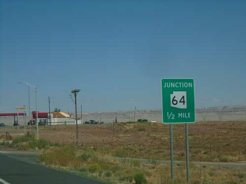
US-89 south approaching AZ-64 West to Grand Canyon (South Rim) at next roundabout.
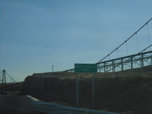
US-89 South - Little Colorado River Bridge
US-89 South crossing Little Colorado River Bridge in Cameron.
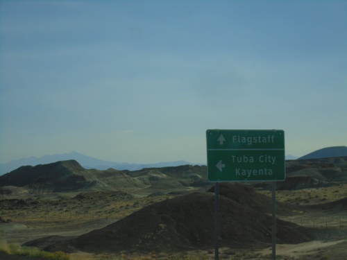
US-89 South at US-160
US-89 south to Flagstaff approaching US-160 East to Tuba City and Kayenta. This is the western end of US-160.
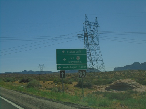
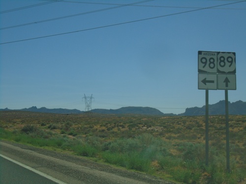
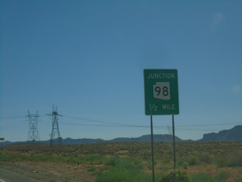
US-89 South at AZ-98 East
US-89 south at AZ-98 East. Use AZ-98 East to Jct. US-160/Kayenta and Antelope Point. Continue south on US-89 for Flagstaff.
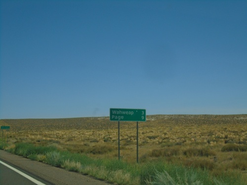
US-89 South - Distance Marker
Distance marker on US-89 south. Distance to Wahweap and Page. This is the first distance marker on US-89 southbound in Arizona.
US-89 South - Coconino County
First US-89 shield southbound in Arizona - just south of the Arizona/Utah Line.
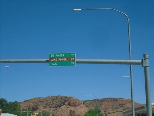
US-89 South - Distance Marker
Distance marker on US-89 south. Distance to Big Water, Lake Powell, and Page (Arizona).
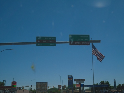
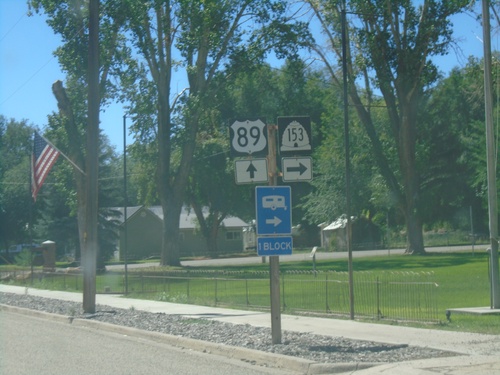
US-89 South at US-89A
US-89 South at US-89A in Kanab. Continue straight for US-89A south to Fredonia (Arizona), Jacob Lake (Arizona), and Grand Canyon (North Rim). Turn left to continue south on US-89 to Big Water, Page (Arizona) and Lake Powell.
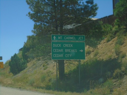
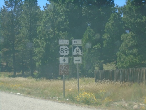
US-89 South at UT-14
UT-89 south at UT-14 west to Duck Creek, Cedar Breaks (National Monument), and Cedar City. Continue south on US-89 for Mt. Carmel Junction.
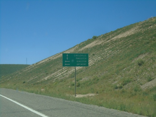
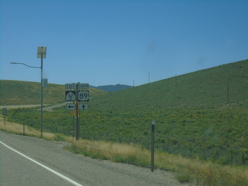
US-89 South at UT-62 East
US-89 South at UT-62 East to Antimony and Kingston. Continue south on US-89 for Circleville and Panguitch.
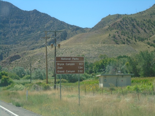
US-89 South - Distance Marker for National Parks
Distance Marker for National Parks on US-89 South. Distance to Bryce Canyon, Zion, and Grand Canyon (South Rim).
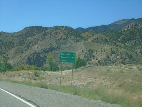
US-89 South - Distance Marker
Distance marker on US-89 south. Distance to Marysvale, Panguitch, and Kanab.
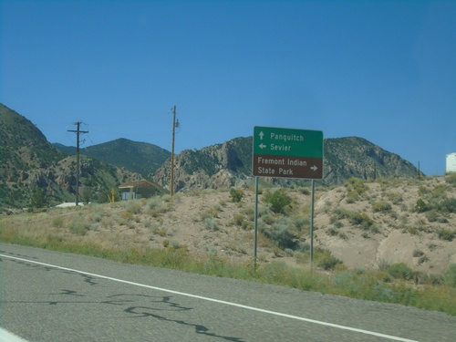
US-89 South - Sevier Highway
US-89 South at Sevier Highway junction. Use Sevier Highway west to Fremont Indian State Park; east to Sevier. Continue south on US-89 for Panguitch.
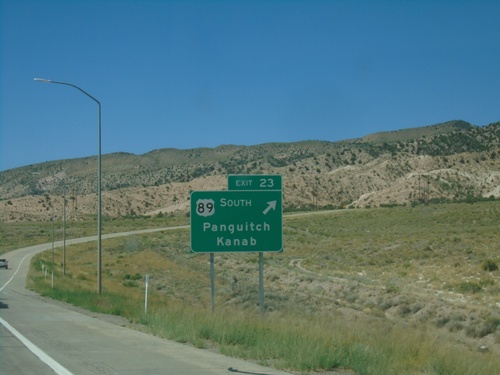
I-70 West - Exit 23
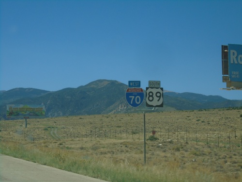
I-70 west at Exit 23 - US-89 South/Panguitch/Kanab. US-89 south leaves I-70 westbound here.
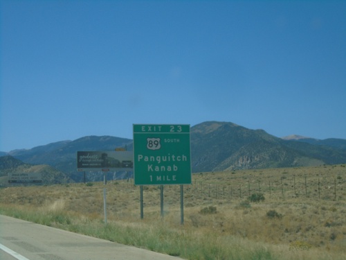
I-70 West - Exit 23
I-70 west approaching Exit 23 - US-89 South/Panguitch/Kanab. US-89 leaves I-70 westbound here.
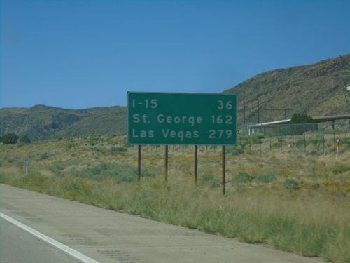
I-70 West - Distance Marker
Distance marker on I-70 west. Distance to I-15, St. George, and Las Vegas (Nevada). The last two destinations are via I-15 south.
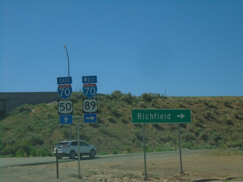
US-89 South/US-50 East at I-70
US-89 South/US-50 East at I-70 (Exit 56). US-89 south joins I-70 westbound; US-50 east joins I-70 westbound. Use I-70 West/US-89 south to Richfield.
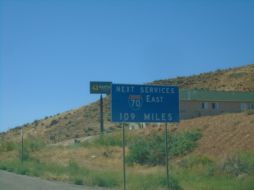
US-89 South/US-50 East Approaching I-70
US-89 South/US-50 East approaching I-70. Next services eastbound on I-70 is 109 miles, in Green River.
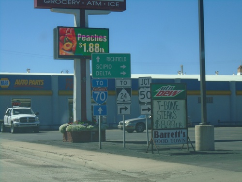
US-89 South at US-50/To UT-24/To I-70
US-89 south at US-50 in Salina. Use US-50 west for UT-24, Scipio and Delta. Continue south on US-89 to I-70 and Richfield. US-89 south joins US-50 east through Salina.
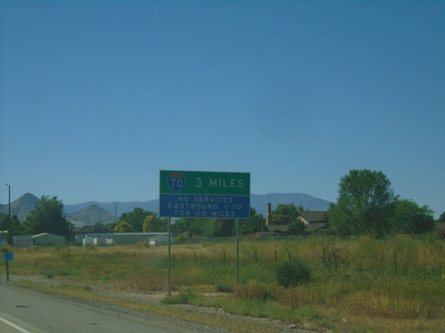
I-70 Information on US-89 South
US-89 south approaching Salina. Salina is where US-89 joins I-70. Next services eastbound on I-70 is 110 miles in Green River.
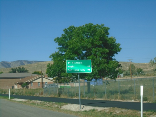
US-89 South Approaching UT-28
US-89 South approaching UT-28 in Gunnison. Use UT-28 north to Nephi and Salt Lake County. Turn left for US-89 south to Richfield.
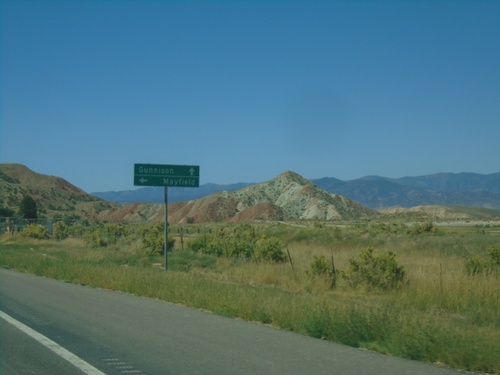
US-89 South Approaching UT-137
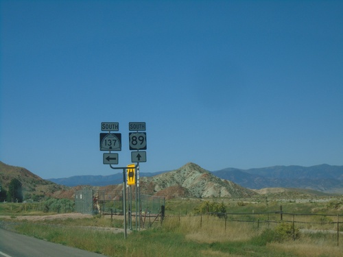
US-89 South approaching UT-137 south to Mayfield. Continue south on US-89 for Gunnison.
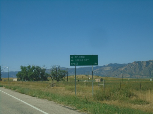
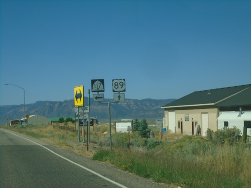
US-89 South at UT-117
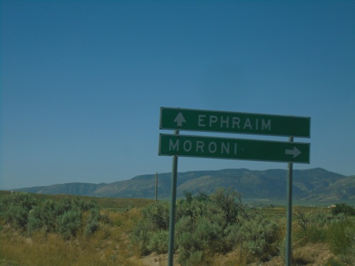
US-89 South at UT-117. Use UT-117 west to Wales; UT-117 east to Spring City. Continue south on US-89 to Ephraim.
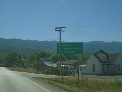
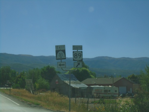
US-89 South Approaching UT-31
US-89 South approaching UT-31 in Fairview. Use UT-31 east for Fairview Canyon and Huntington. Continue south on US-89 for Richfield.
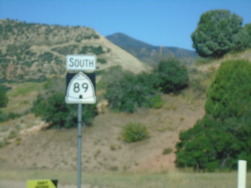
US-89 South - Utah County
US-89 South in Utah County, just south of US-6. The US-89 shield here is incorrectly marked using a Utah state highway shield.
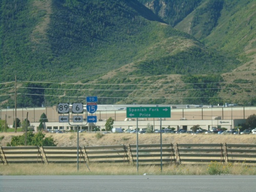
US-89 South at US-6
US-89 South at US-6/To I-15. Use US-6 East/US-89 South to Price; US-6 West To I-15 and Spanish Fork.
