Signs From March 2024
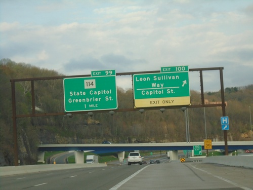
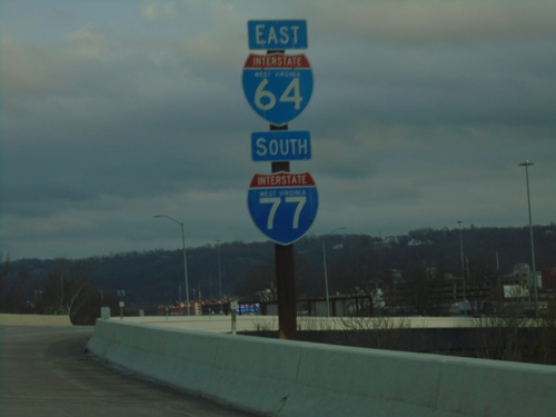
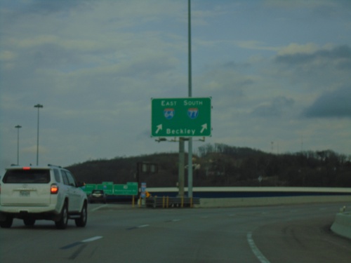
I-64 East/I-77 South - Exits 100 and 99
I-64 East/I-77 South at Exit 100 - Leon Sullivan Way/Capitol St. Approaching Exit 99 - WV-114/State Capitol/Greenbrier St.
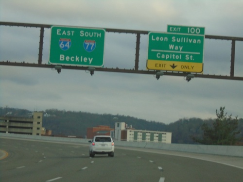
I-64 East/I-77 South - Exit 100
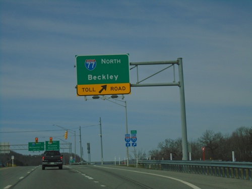
I-64 East/I-77 South at Exit 100 - Leon Sullivan Way/Capitol St. I-64 East/I-77 South continues towards Beckley.
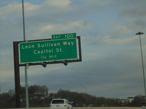
I-64 East/I-77 South - Exit 100
I-64 East/I-77 South approaching Exit 100 - Leon Sullivan Way/Capitol St.
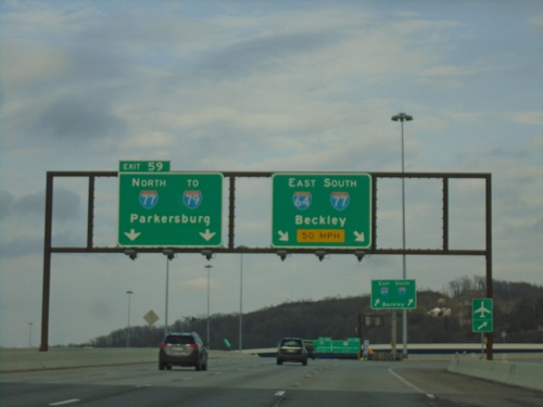
I-64 East - Exit 59
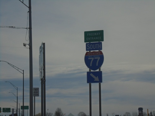
I-64 East at Exit 59 - I-77 North/To I-79/Parkersburg. Use right lanes for I-64 East/I-77 South/Beckley. I-77 South joins I-64 eastbound to Beckley.
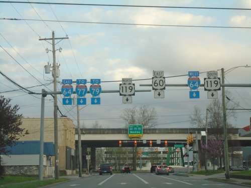
US-60 East Approaching I-64/US-119
US-60 East (Lee St.) approaching I-64/US-119 in Charleston. Use right lane for I-64 West and US-119 South (Pennsylvania St.). Use left lanes for US-119 North, I-64 East/To I-77/I-79. Continue straight on Lee St. for US-60.
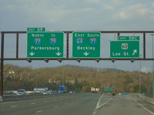
I-64 East - Exits 58C and 59
I-64 East at Exit 58C - US-60/Lee St. Approaching Exit 59 - I-77 North/To I-79/Parkersburg. Continue east on I-64 East/I-77 South to Beckley.
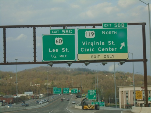
I-64 East - Exits 58B, and 59C
I-64 East at Exit 58B - US-119 North/Virginia St./Civic Center. Approaching Exit 59C - US-60/Lee St.
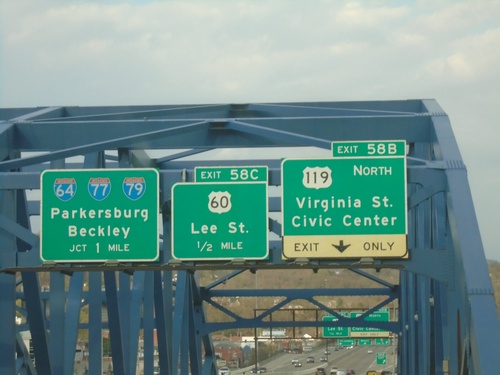
I-64 East - Exits 58B, 58C, and Exit 59
I-64 East - Exits 58B - US-119 North/Virginia St./Civic Center. Approaching Exit 59C - US-60/Lee St. Approaching I-64/I-77/I-79/Parkersburg/Beckley. Taken on the bridge over the Kanawah River.
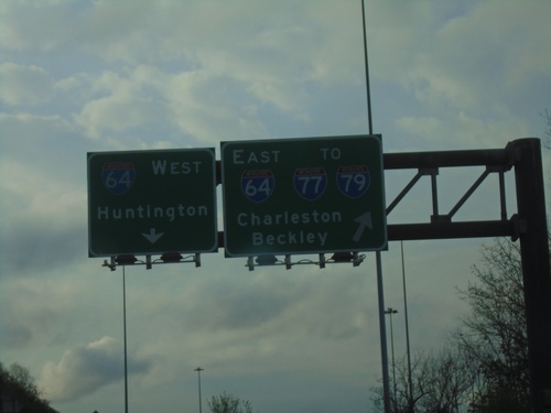
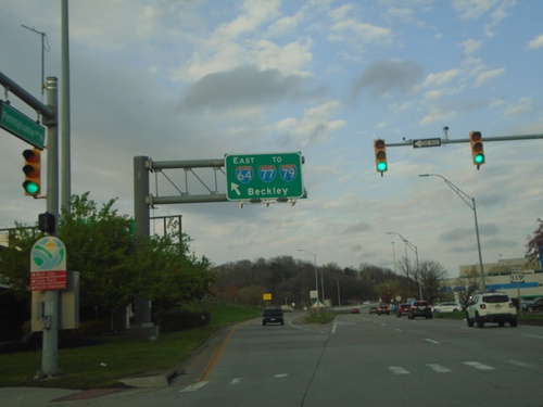
US-119 North at I-64 - Charleston
US-119 North at I-64 in Charleston. Use left lane for I-64 West/Huntington. Right lane for I-64 East/To I-77/To I-79/Charleston/Beckley. US-119 joins I-64 eastbound.
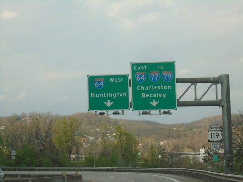
US-119 North at I-64
US-119 North at I-64. Use right lanes for I-64 East/To I-77/To I-79/Charleston/Beckley. Use left lane for I-64 West to Huntington. US-119 north joins I-64 east.
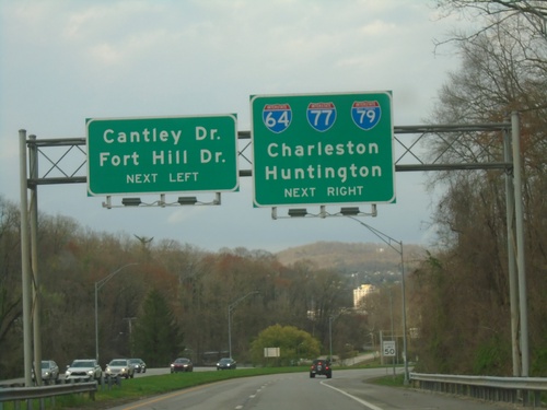
US-119 North Approaching I-64/To I-77/To I-79
US-119 North Approaching I-64/To I-77/To I-79 in Charleston. Continue in left lane for Cantley Drive/Fort Hill Drive. Use right lanes for US-119 North/I-64/To I-77/To I-79/Charleston/Huntington.
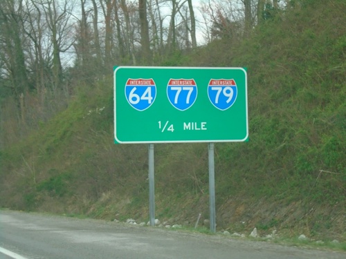
US-119 North Approaching I-64/(To)I-77/(To) I-79
US-119 North approaching I-64/(To)I-77/(To) I-79 in Charleston.
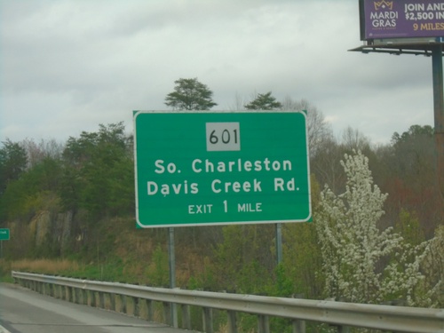
US-119 North Approaching WV-601
US-119 North approaching WV-601/South Charleston/Davis Creek Road interchange.
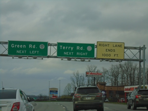
US-119 North at Green Road/Terry Road
US-119 North at Green Road (WVCR-214/8) and Terry Road. The Terry Road sign has a blank county highway shield.
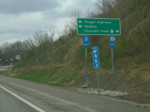
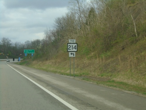
US-119 North at Yeager Highway Junction
US-119 North at Yeager Highway junction. Turn left To WV-214, Yeager Highway, and Yawkey. Turn right for WVCR-119/6 / Starlight Road. Blue mile marker is used for Appalachian Corridor highways. US-119 is part of Corridor G.
US-119 North - Kanawah County
Kanawah County on US-119 North. Kanawah County is the largest county in West Virginia and is home to the state capitol, Charleston.
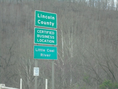
US-119 North - Lincoln County
Lincoln County on US-119 North crossing the Little Coal River. The highway briefly enters Lincoln County and then re-enters Boone County.
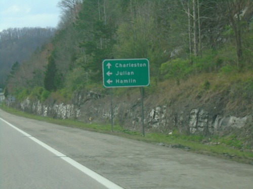
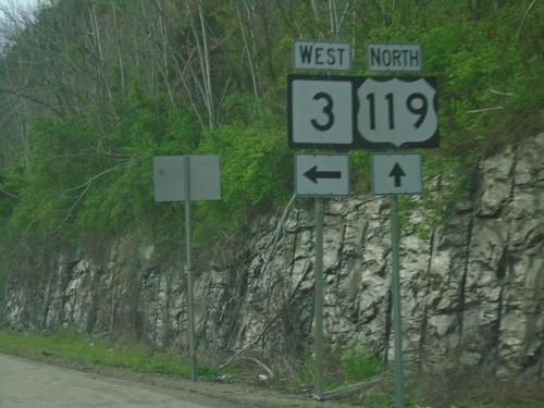
US-119 North/WV-3 West at US-119/WV-3 Split
US-119 North/WV-3 West at US-119/WV-3 split in Julian. Use WV-3 west to Julian and Hamlin. Continue north on US-119 to Charleston.
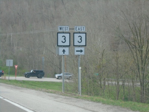
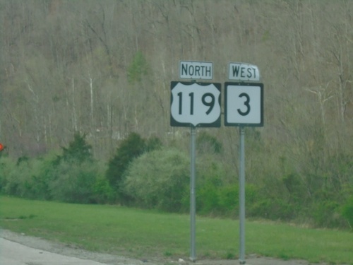
US-119 North at WV-3 East
US-119 North at WV-3 East in Boone County. WV-3 West joins US-119 northbound.
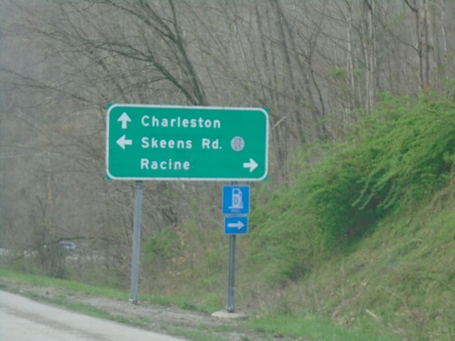
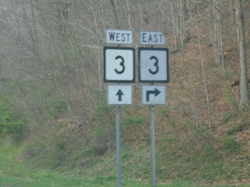
US-119 North Approaching WV-3
US-119 North approaching WV-3 East to Racine and WVCR-119/65 - Skeens Road. Continue on US-119 North/WV-3 West to Charleston.
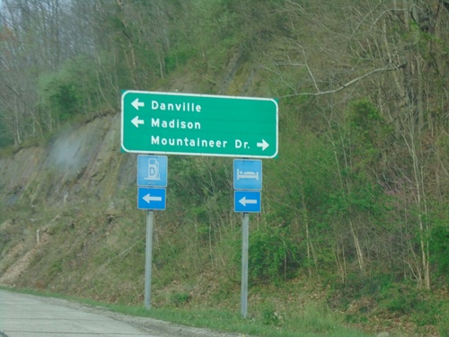
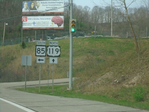
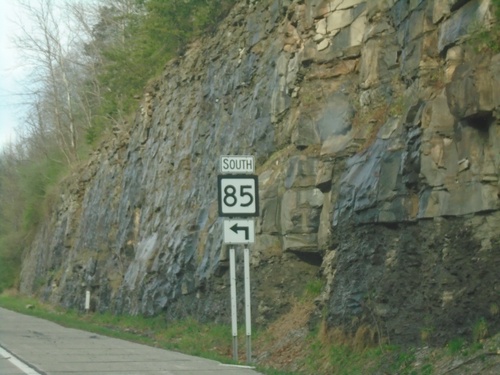
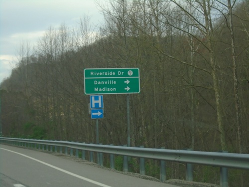
US-119 North at WV-85 South
US-119 North at WV-85 South to Danville and Madison. Turn right for Mountaineer Drive.
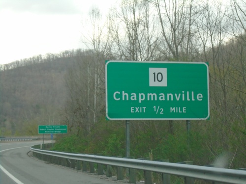
US-119 North approaching Chapmanville Interchange
US-119 North approaching WV-10/Chapmanville interchange
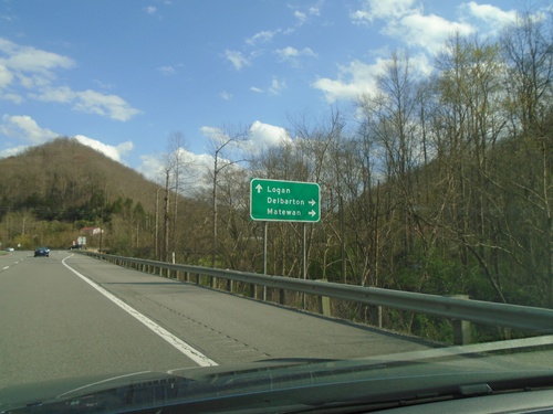
US-119 North/WV-65 South at US-119/WV-65 Split
US-119 North/WV-65 South at US-119/WV-65 Split. Use WV-65 south to Delbarton and Matewan. Continue north on US-119 to Logan.
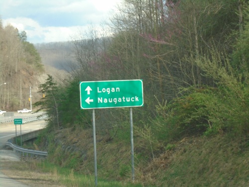
US-119 North at WV-65 North
US-119 North at WV-65 North to Naugatuck. Continue north on US-119/WV-65 South to Logan.
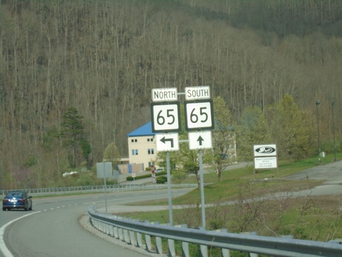
US-119 North at WV-65
US-119 North at WV-65 in Mingo County. Turn left for WA-65 North; WA-65 South joins US-119 northbound briefly.
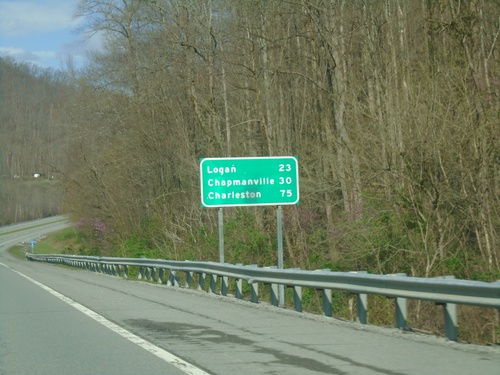
US-119 North - Distance Marker
Distance marker on US-119 North. Distance to Logan, Chapmanville, and Charleston.
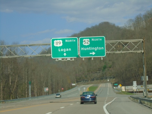
US-52/US-119 North at US-52/US-119 Split
US-52/US-119 North at US-52/US-119 split. Use US-52 North to Huntington; US-119 North to Logan.
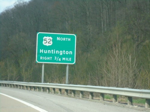
US-52/US-119 North Approaching US-52/US-119 Split
US-52/US-119 North approaching US-52/US-119 Split. Exit for US-52 North/Huntington.
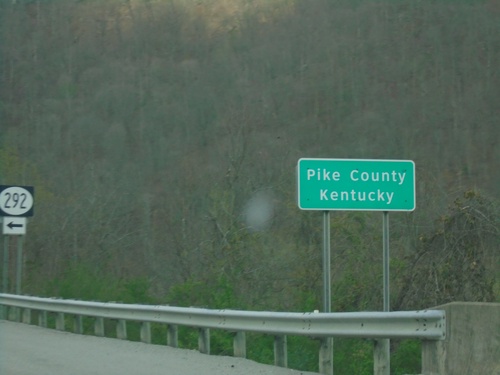
US-52/US-119 North - Pike County Kentucky
US-52/US-119 North - Pike County Kentucky. Approaching KY-292.
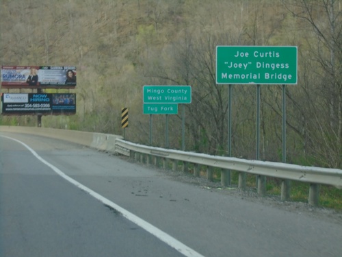
US-119/US-52 - Entering Mingo County West Virginia
Entering Mingo County West Virginia on US-119/US-52 north. At the Kentucky/West Virginia State Line crossing the Tug Fork.
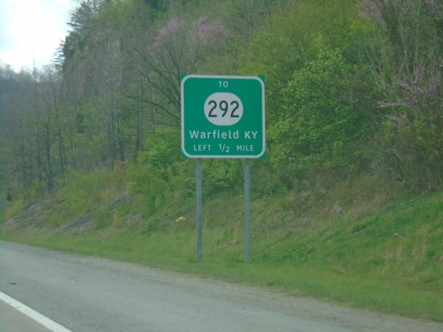
US-52/US-119 North Approaching KY-292
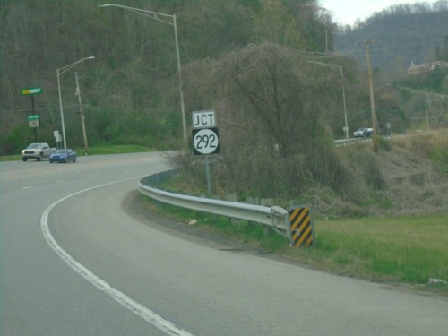
US-52/US-119 North approaching To KY-292/Warfield, KY. US-52/US-119 crosses the West Virginia/Kentucky State Line a few times immediately north of Williamson, WV.
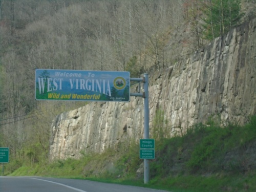
US-119/US-52 North - Welcome To West Virginia
Welcome To West Virginia/Wild and Wonderful on US-119/US-52 North. Entering Mingo County.
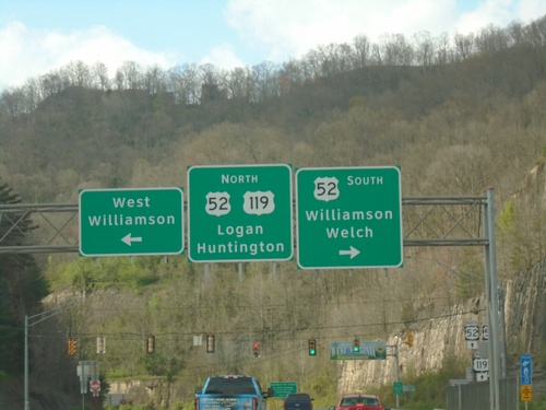
US-119 North at US-52 - Williamson
US-119 North at US-52 in Williamson, at the Kentucky-West Virginia State Line. Use US-52 South to Williamson/Welch. Turn left for West Williamson. Continue north on US-119/US-52 to Logan and Huntington.
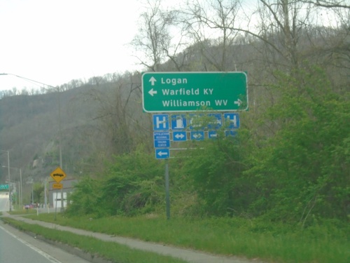
US-119/KY-292 North at US-119/KY-292 Split
US-119/KY-292 North at US-119/KY-292 Split in South Williamson. Turn right for bridge to Williamson, WV. Turn left to continue north on KY-292 to Warfield, KY. Continue straight on US-119 for Logan, WV.
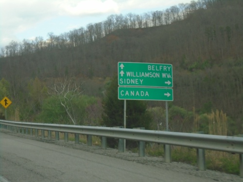
US-119 North at KY-3220
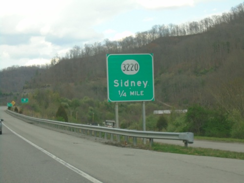
US-119 North at KY-3220 to Canada and Sidney. Continue north on US-119 to Belfry and Williamson, WV.
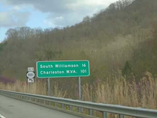
US-119 North at KY-881
US-119 North at KY-881 junction. Distance marker on US-119 North to South Williamson, and Charleston (WV).
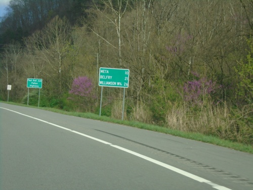
US-119 North - Distance Marker
Distance marker on US-119 north. Distance to Meta, Belfry, and Williamson, WV.
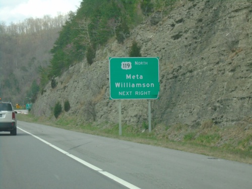
US-23/US-119 North/US-460/KY-80 West at US-119 North
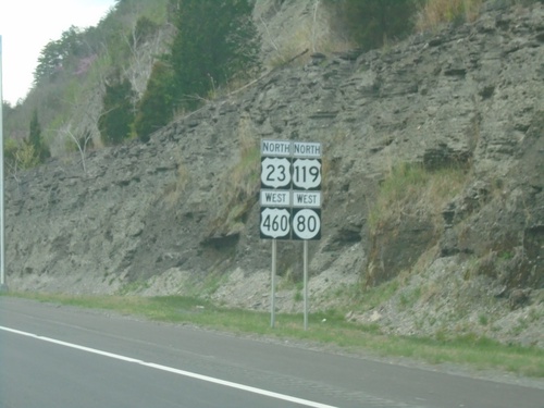
US-23/US-119 North/US-460/KY-80 West at US-119 North to Meta and Williamson (WV).
US-23/US-119 North/US-460/KY-80 West at KY-3495
US-23/US-119 North/US-460/KY-80 West at KY-3495 in Pikeville.
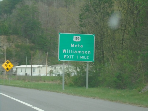
US-23/US-119 North/US-460/KY-80 West Approaching US-119 North
US-23/US-119 North/US-460/KY-80 West approaching US-119 North to Meta and Williamson (WV).
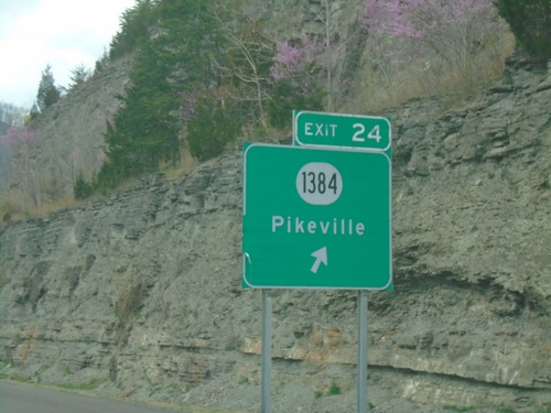
US-23/US-119 North/US-460/KY-80 West - Exit 24
US-23/US-119 North/US-460/KY-80 West at Exit 24 - KY-1384/Pikeville.
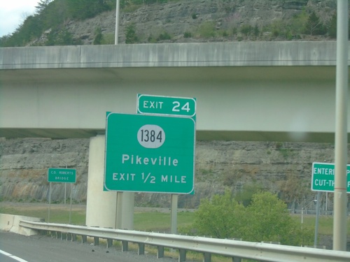
US-23/US-119 North/US-460/KY-80 West Approaching Exit 24
US-23/US-119 North/US-460/KY-80 West approaching Exit 24 - KY-1384/Pikeville.
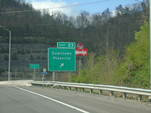
US-23/US-119 North/US-460/KY-80 West/KY-1426 East Approaching Exit 23
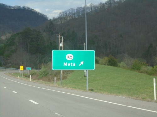
US-23/US-119 North/US-460/KY-80 West/KY-1426 East at Exit 23 - Downtown Pikeville. KY-1426 leaves the freeway here.
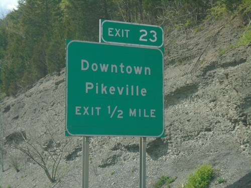
US-23/US-119 North/US-460/KY-80 West/KY-1426 East Approaching Exit 23
US-23/US-119 North/US-460/KY-80 West/KY-1426 East approaching Exit 23 - Downtown Pikeville.
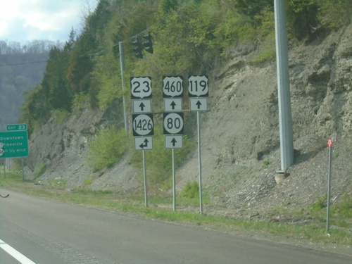
US-23/US-119 North/US-460/KY-80 West at KY-1426
US-23/US-119 North/US-460/KY-80 West at KY-1426 in Pikeville. KY-1426 joins the roadway northbound.
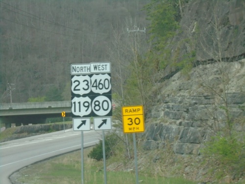
US-460/KY-80 West at US-23/US-119
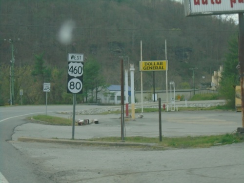
US-460/KY-80 West at US-23/US-119. Merge right for US-460/KY-80 West/US-23/US-119/North.
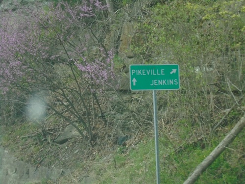
US-460/KY-80 West at US-23/US-119
US-460/KY-80 West at US-23/US-119 in Pike County. Use US-23/US-119 North/US-460/KY-80 West to Pikeville; US-23/US-119 South to Jenkins.
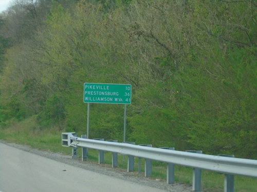
US-460/KY-80 West - Distance Marker
Distance Marker on US-460/KY-80 West. Distance to Pikeville, Prestonsburg, and Williamson, WV.
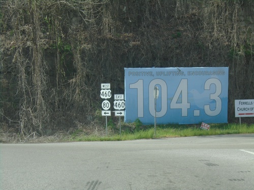
KY-80 West at US-460/KY-80 Junction
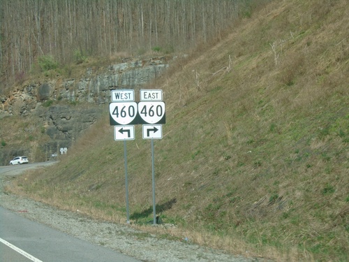
KY-80 West at US-460/KY-80 Junction in Belcher. Turn right for US-460 East; turn left for KY-80/US-460 West.
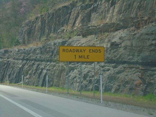
KY-3174 West Approaching KY-80
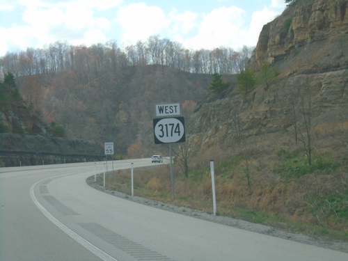
KY-3174 West approaching KY-80. Roadway Ends in 1 mile. All traffic has to exit the expressway here.
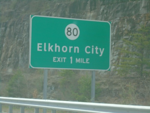
KY-3174 West Approaching KY-80
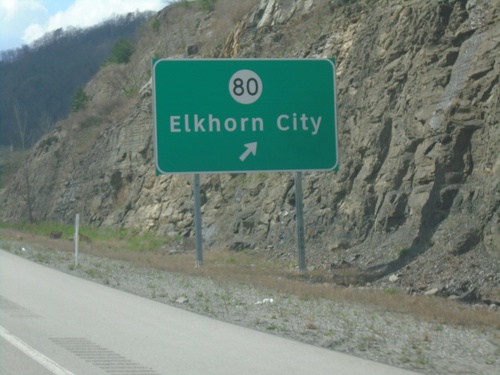
KY-3174 West approaching KY-80/Elkhorn City exit. The KY-80 interchange is the current end of the expressway.
KY-3174 West - Pike County
Entering Pike County on KY-3174 west. At the Kentucky/Virginia State Line.
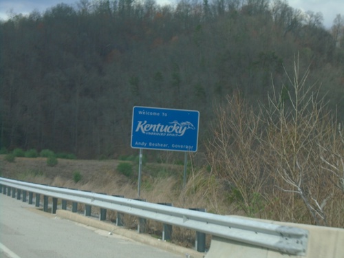
KY-3174 West - Welcome To Kentucky
Welcome To Kentucky on KY-3174 West. Taken at the Virginia/Kentucky State Line.
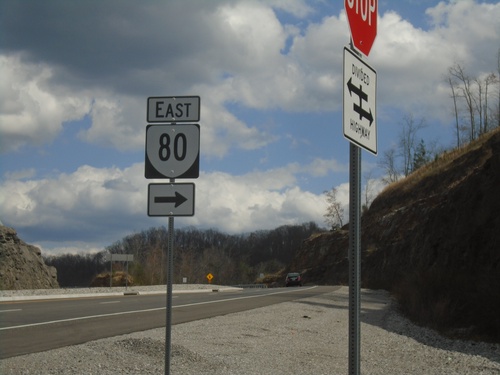
VA-460 East at Breaks Park Road (To) VA-80 East
VA-460 East at Breaks Park Road (To) VA-80 East in Buchanan County.
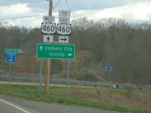
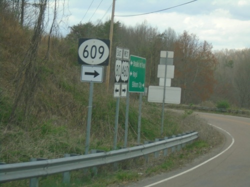
VA-80 East at VAS-609/To US-460 East
VA-80 East at VAS-609/To US-460 East to Grundy. Continue north on Breaks Park Road (signed as VA-80 and US-460) to Elkhorn City (KY). The stretch of highway between this intersection and with VA-460 (future US-460) is signed as VA-80.
VA-80 West Approaching VAS-609
VA-80 West approaching VAS-609 near Breaks. VA-80 traffic exit here to continue west on VA-80.
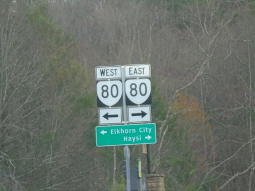
Breaks Interstate Park Road (VAS-702) at VA-80
Breaks Interstate Park Road (VAS-702) at VA-80. Use VA-80 east to Haysi; VA-80 west to Elkhorn City (KY).
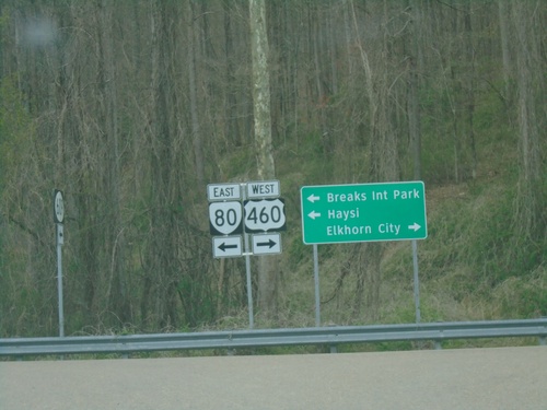
VA-80 East/VAS-609 West at Breaks Park Road
VA-80 East/VAS-609 West at Breaks Park Road. Turn left to continue east on VA-80 to Breaks Interstate Park and Haysi. Turn right for access to VA-460, which will be the eventual route of US-460 to Elkhorn City (KY).
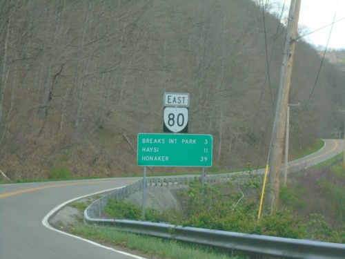
VA-80 East - Distance Marker
Distance marker on VA-80 east. Distance to Breaks Interstate Park, Haysi, and Honaker.
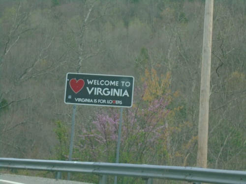
VA-80 East - Welcome To Virginia
Welcome To Virginia - Virginia Is For Lovers on VA-80 East. Taken at the Kentucky/Virginia State Line.
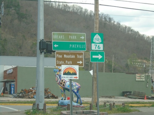
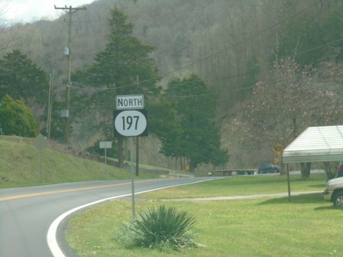
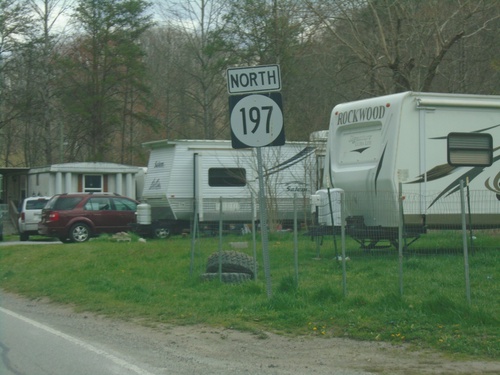
End KY-197 East at KY-80
End KY-197 East at KY-80 in Elkhorn City. Use KY-80 east to Breaks Interstate Park and Pine Mountain Trail State Park. Use KY-80 west to Pikeville. KY-80 west is part of US Bicycle Route 76.
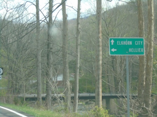
KY-197 East Approaching KY-195
KY-197 East Approaching KY-195 to Hellier. Continue east on KY-197 to Elkhorn City.
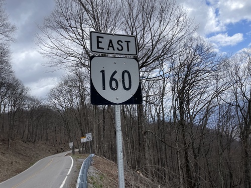
VA-160 East - Wise County
VA-160 East in Wise County. First reassurance marker on VA-160 in Virginia.
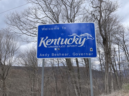
KY-160 West - Welcome To Kentucky
Welcome to Kentucky - Unbridled Spirit on KY-160 West. At the Virginia/Kentucky State Line.
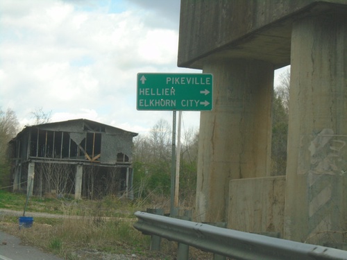
KY-805 East Approaching KY-197
KY-805 East approaching KY-197 to Hellier and Elkhorn City. Continue east on KY-805 to Pikeville.
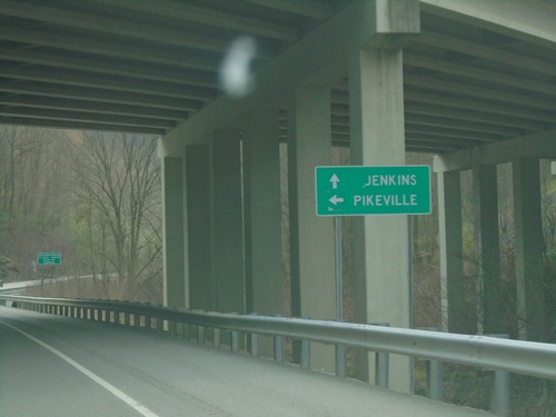
KY-805 East at US-23/US-119 North
KY-805 East at US-23/US-119 North to Pikeville. Continue on KY-805 east to Jenkins.
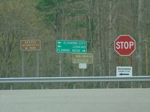
US-23/US-119 Ramp at KY-805
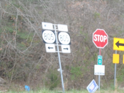
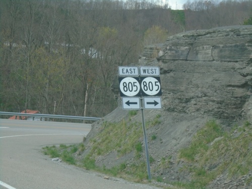
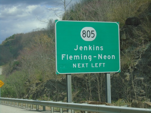
US-23/US-119 Ramp at KY-805. Use KY-805 West to Fleming-Neon; use KY-805 East to Jenkins, Elkhorn City, and Breaks Interstate Park.
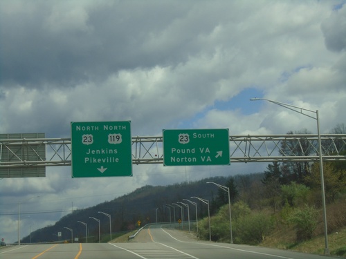
US-119 North at US-23 - Payne Gap
US-119 North at US-23 at Payne Gap. Use US-23 south to Pound, VA and Norton, VA. Use US-23 North/US-119 North to Jenkins and Pikeville.
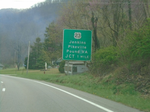
US-119 North Approaching US-23
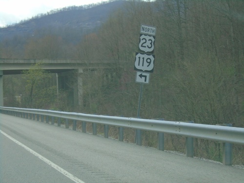
US-119 North approaching US-23 at Payne Gap. Use US-23 for Jenkins, Pikeville, and Pound, VA. US-119 north joins US-23 northbound.
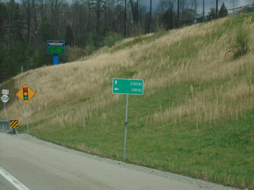
US-119 North Approaching KY-2023
US-119 North approaching KY-2023. Use KY-2023 to Ermine; continue north on US-119 to Jenkins.
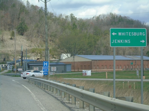
US-119 North at KY-15
US-119 North at KY-15. Use KY-15 west to Whitesburg; turn right to continue north on US-119 to Jenkins.
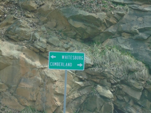
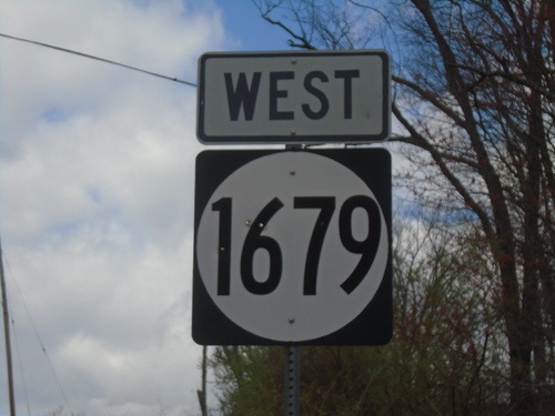
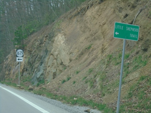
End KY-1679 East at US-119
End KY-1679 East at US-119. Use US-119 South to Cumberland; US-119 North to Whitesburg.
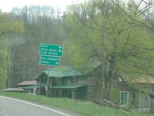
US-119 North Approaching KY-806
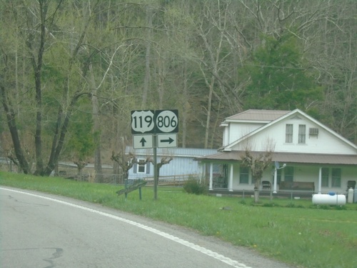
US-119 North approaching KY-806 to Eolia, Arlie Boggs Elementary School and Eolia Community Center.
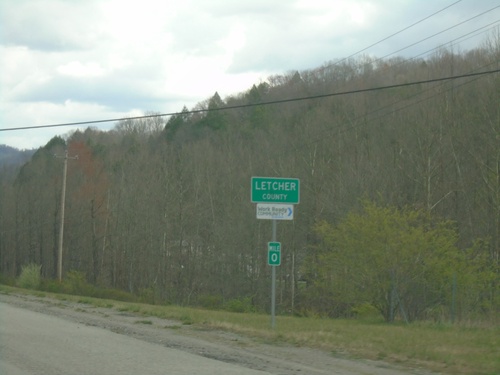
US-119 North - Letcher County
Entering Letcher County on US-119 North. The mile markers in Kentucky reset at county lines, on non interstate highways.
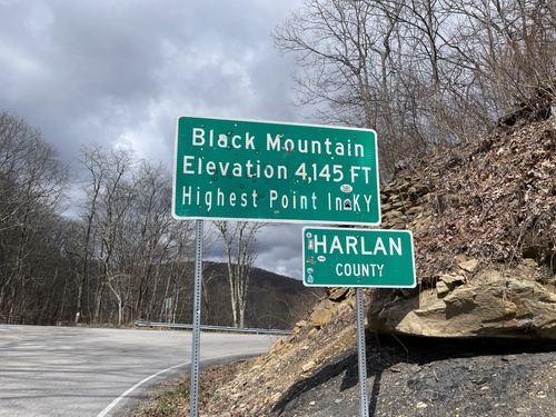
KY-160 West - Harlan County / Black Mountain
KY-160 West at the Kentucky/Virginia State Line. Black Mountain Elevation 4,145 Feet - Highest Point in Kentucky. Entering Harlan County. The actual high point is about 1.5 miles to the south via a trail.
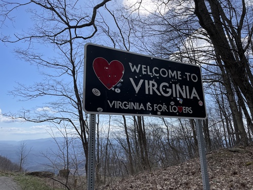
VA-160 East - Welcome To Virginia
Welcome To Virginia - Virginia Is For Lovers on VA-160 East. Taken at the Kentucky/Virginia State Line.
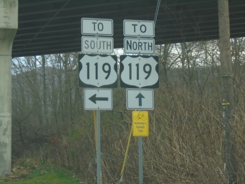
KY-160 East at US-119 in Cumberland
KY-160 East at US-119 in Cumberland. The KY-160/US-119 junction is an interchange, however US-119 is not an expressway through Cumberland.
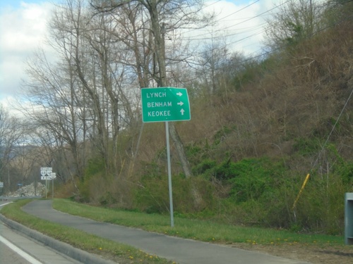
VA-68 West at VA-160
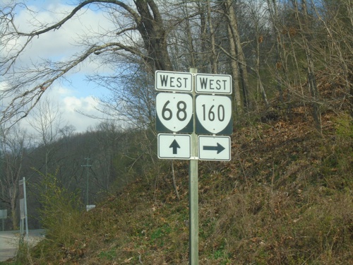
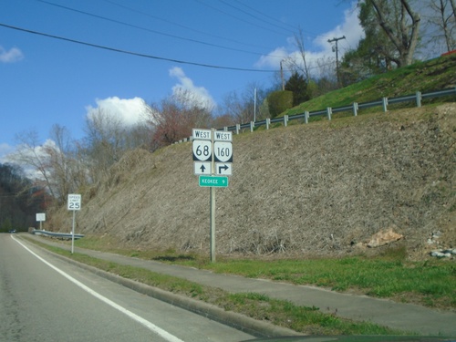
VA-68 West at VA-160. Continue west on VA-68 to Keokee; use VA-160 West to Lynch (KY) and Benham (KY).
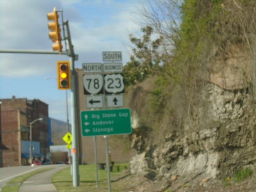
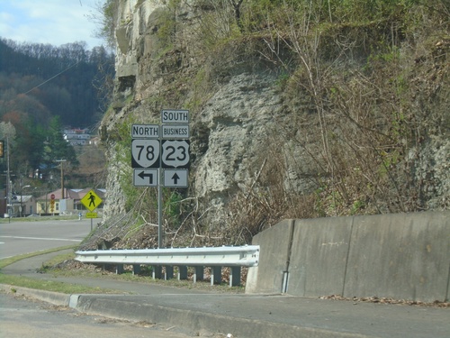
Bus. US-23 South at VA-78 North
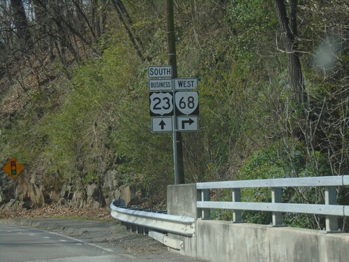
Bus. US-23 South at VA-78 North in Norton. Use VA-78 North to Andover and Stonega. Continue south on Bus. US-23 for Big Stone Gap.
Bus. US-23 South - Distance Marker
Distance Marker on Bus. US-23 South. Distance to Appalachia and Big Stone Gap.
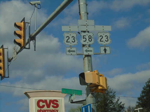
Bus. US-23 South (Park Ave) at 11th St.
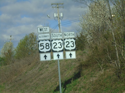
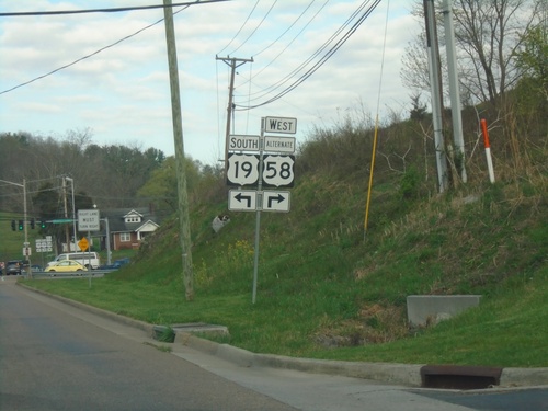
Bus. US-23 South (Park Ave) at 11th St in Norton. Sign assembly contains old cut-out style shields for Bus. US-23, US-23, and Alt. US-58. The banners on the signs are faded. Turn left on 11th St. for access to US-23 and Alt. US-58. Continue straight on Park Ave. for Bus. US-23 South
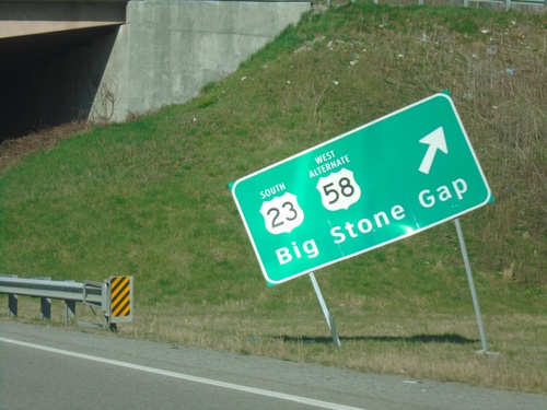
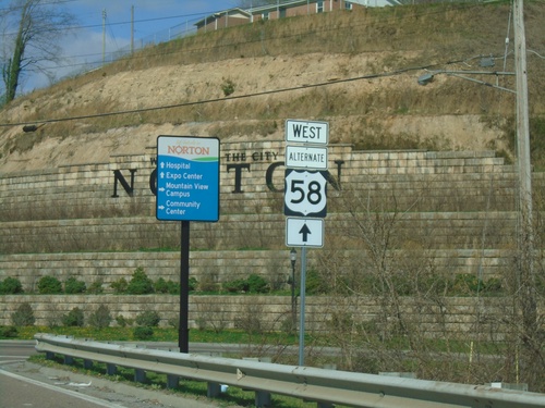
Alt. US-58 West at US-23 South
Alt. US-58 West at US-23 South to Big Stone Gap. Continue straight for Bus. US-23.
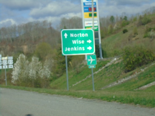
Alt. US-58 West at US-23/Bus. US-23
Alt. US-58 West at US-23/Bus. US-23. Use US-23 north to Wise and Jenkins. Continue under freeway for Bus. US-23 South to Norton. Alt. US-58 West joins US-23 southbound.
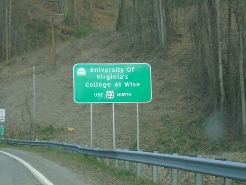
Alt. US-58 West - University of Virginia's College at Wise
Alt. US-58 West - For access to University of Virginia’s College at Wise use US-23 north.
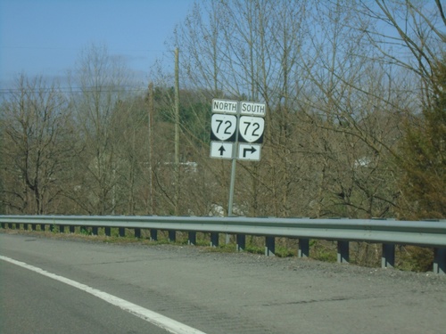
Alt. US-58 West Approaching Exit 2
Alt. US-58 West approaching Exit 2. Use Exit 2 for VA-72 South. Continue on freeway for access to VA-72 North, although confusingly VA-72 shares no concurrency with Alt. US-58 West.
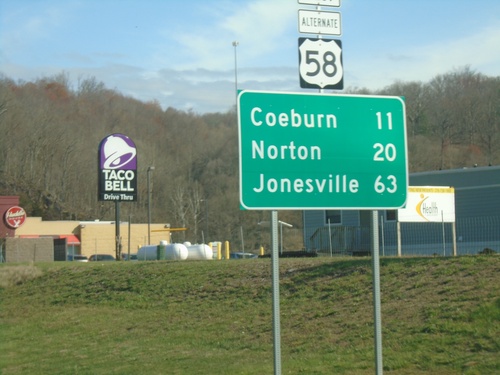
US-58 Alt. West - Distance Marker
Distance marker on US-58 Alt. West. Distance to Coeburn, Norton, and Jonesville.
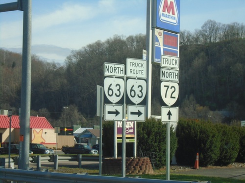
Alt. US-58 West at VA-63 - St. Paul
Alt. US-58 West at VA-63 in St. Paul. Turn right on Wise St. for VA-63/Truck Route VA-63. For truck route to VA-72, continue west on Alt. US-58.
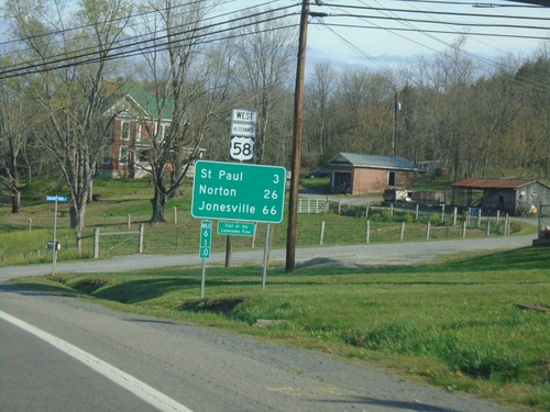
Alt. US-58 West - Distance Marker
Distance marker on Alt. US-58 West. Distance to St Paul, Norton, and Jonesville.
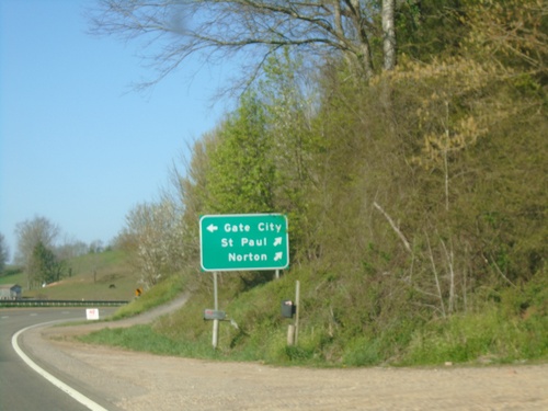
Alt. US-58 West/VA-71 South at Split
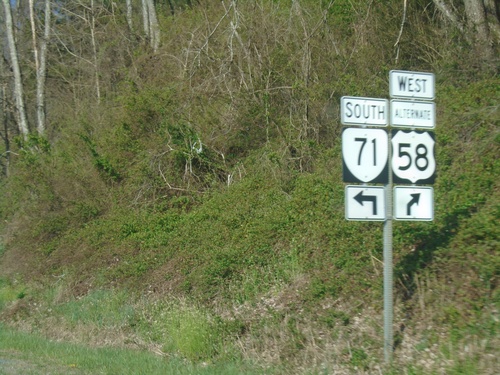
Alt. US-58 West/VA-71 South at Alt. US-58/VA-71 split. Use VA-71 south to Gate City; use Alt. US-58 West to St. Paul and Norton.
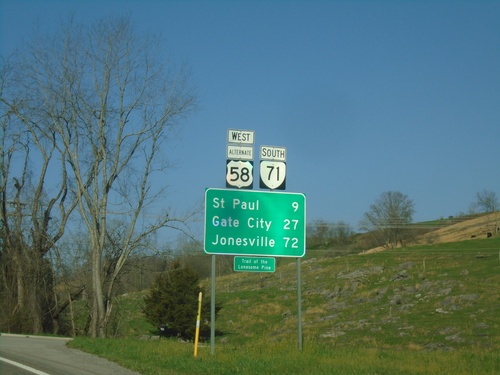
Alt. US-58 West/VA-71 South - Distance Marker
Distance Marker on Alt. US-58 West/VA-71 South. Distance to St. Paul, Gate City, and Jonesville.
Alt. US-58 West at VA-71
Alt. US-58 West at VA-71. Use VA-71 North to Lebanon. Continue west on Alt. US-58 West/VA-71 South to Gate City and Norton.
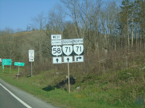
Alt. US-58 West Approaching VA-71
Alt. US-58 West approaching VA-71. VA-71 South joins Alt. US-58 westbound.
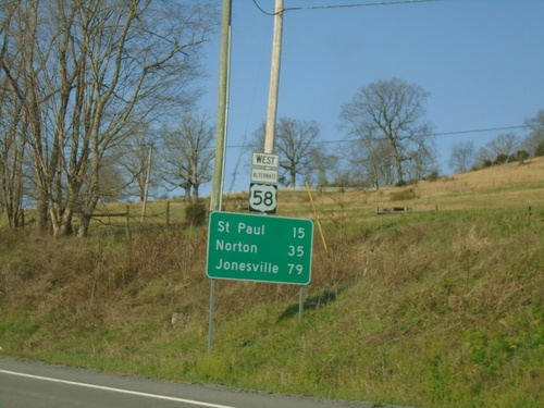
Alt. US-58 West - Distance Marker
Distance marker on Alt. US-58 West. Distance to St. Paul, Norton, and Jonesville.
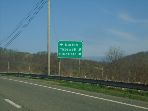
US-19 North/Alt. US-58 West at Split
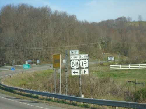
US-19 North/Alt. US-58 West at US-19/Alt. US-58 split. Continue north on US-19 for Tazewell and Bluefield. Use Alt. US-58 West to Norton.
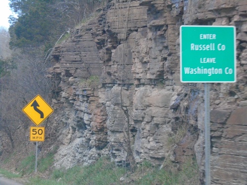
US-19 North/Alt. US-58 West - Enter Russell County
Enter Russell County/Leave Washington County on US-19 North/Alt. US-58 West at Little Moccasin Gap.
US-19 North/Alt. US-58 West - Distance Marker
Distance Marker on US-19 North/Alt. US-58 West. Distance to Hansonville, Norton, and Bluefield.
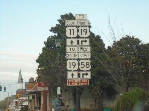
US-11 South/Alt. US-58 West (Main St.) at Alt. US-58/To US-19
US-11 South/Alt. US-58 West (Main St.) at Alt. US-58/To US-19 (Russell Road NW)
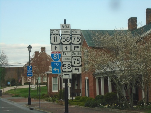
US-11/Alt. US-58 at VA-75
US-11/Alt. US-58 at VA-75 in Abingdon. Turn left for Alt. US-58 East/VA-75 South to I-81. Continue straight for US-11 South/Alt. US-58 West.
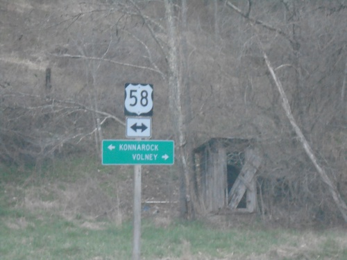
VAS-751 North (Sturgill Road) at US-58
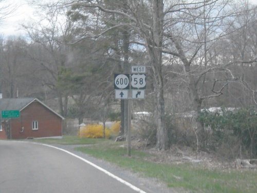
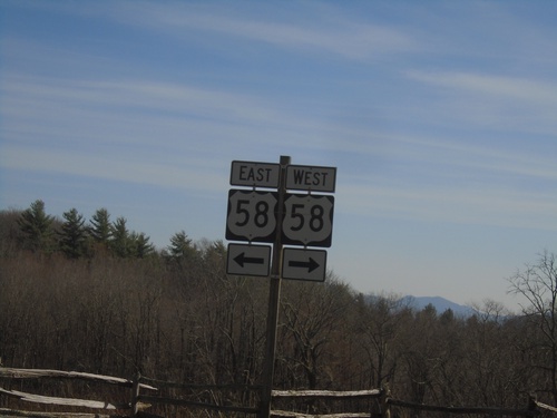
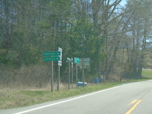
VAS-751 North (Sturgill Road) at US-58. Use US-58 east to Volney; west to Konnarock.
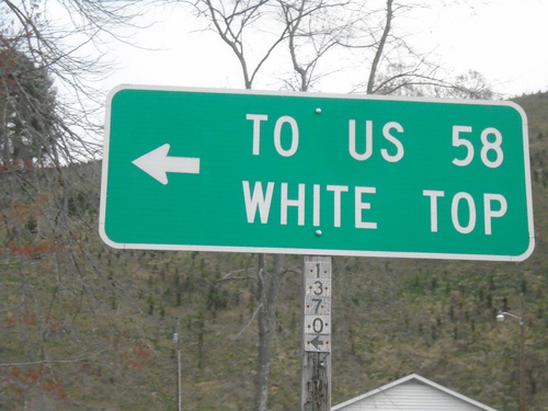
NC-194 South at Helton Creek Road (SR-1370)
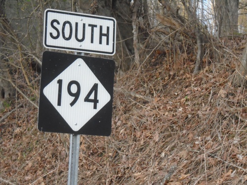
NC-194 South at Helton Creek Road (SR-1370) to White Top and US-58
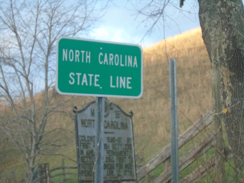
NC-194 South - North Carolina State Line
North Carolina State Line on NC-194 South. Taken at the North Carolina/Virginia State Line.
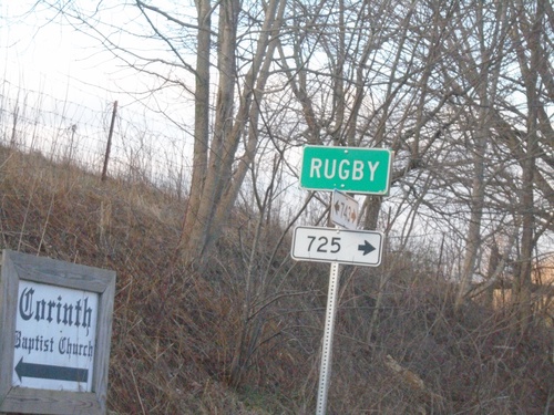
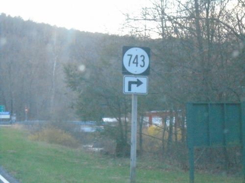
VAS-743 South at VAS-725 - Rugby
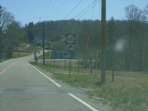
VAS-743 South at VAS-725 in Rugby. These smaller rectangular numbers also denote Virginia State Secondary Highways.
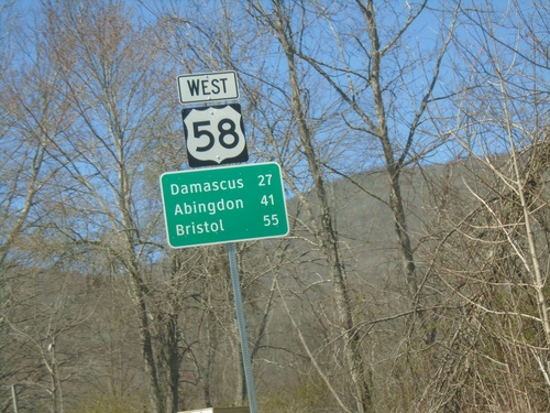
US-58 West - Distance Marker
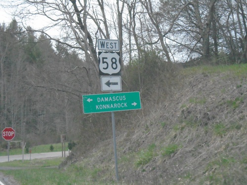
Distance marker on US-58 west. Distance to Damascus, Abingdon, and Bristol.
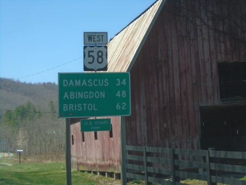
US-58 West - Distance Marker
Distance marker on US-58 west. Distance to Damascus, Abingdon, and Bristol.
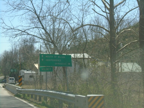
VA-16 South at US-58
VA-16 South at US-58. Use US-58 West to Damascus; US-58 East/VA-16 South to Mouth of Wilson and Independence.
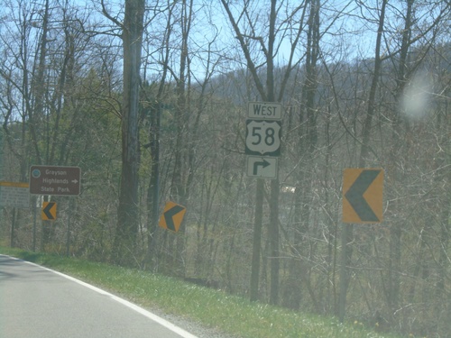
VA-16 South Approaching US-58
VA-16 South Approaching US-58 in Volney. Use US-58 West for Grayson Highlands State Park.
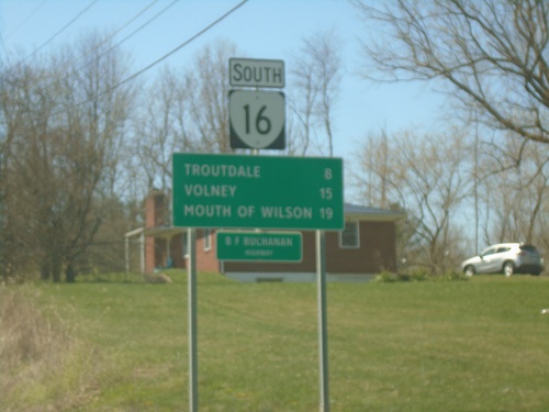
VA-16 South - Distance Marker
Distance marker on VA-16 south. Distance to Troutdale, Volney, and Mouth of Wilson.
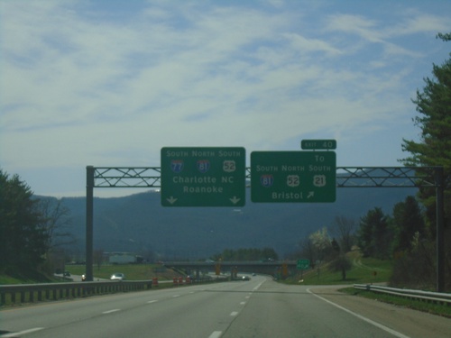
I-77 South - Exit 40
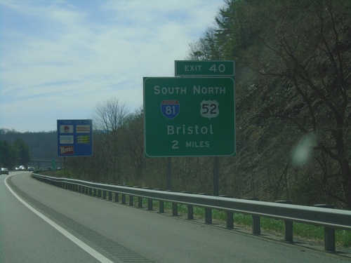
I-77 south at Exit 40 - I-81 South/US-52 North/To US-21/Bristol. Use left lanes for I-77 South/I-81 North/US-52 South/Charlotte, NC/Roanoke. I-77 South joins I-81 northbound.
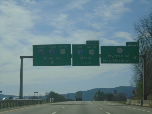
I-77 South - Exits 41 and 40
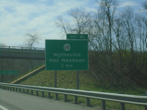
I-77 south at Exit 41 - VAS-610/Wytheville/Max Meadows. Approaching Exit 40 - I-81 South/US-52 North/Bristol. Use left lanes for I-81 North/I-77 South/US-52 South/Roanoke.
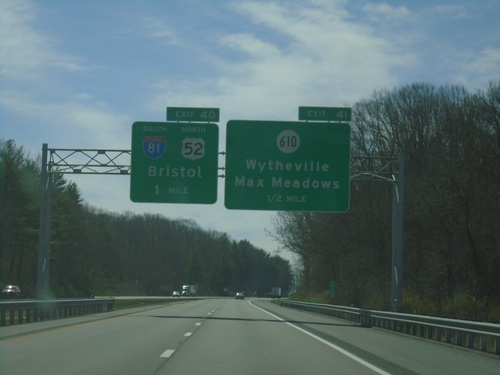
I-77 South - Exits 41 and 40
I-77 south approaching Exit 41 - VAS-610/Wytheville/Max Meadows. Approaching Exit 40 - I-81 South/US-52 North/Bristol.
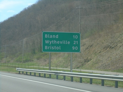
I-77 South - Distance Marker
Distance marker on I-77 south. Distance to Bland, Wytheville, and Bristol (via I-81 south).
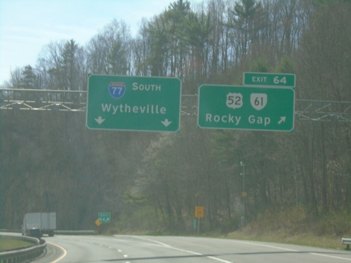
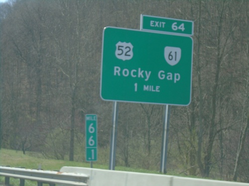
I-77 South - Exit 64
I-77 south at Exit 64 - US-52/VA-61/Rocky Gap. I-77 continues southbound towards Wytheville.
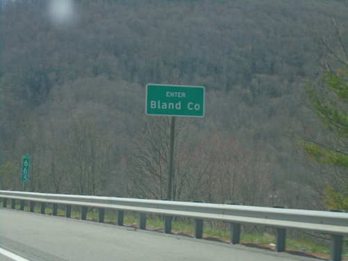
I-77 South - Bland County
Enter Bland County on I-77 south. Just south of the East River Mountain Tunnel that marks the state line between Virginia and West Virginia.
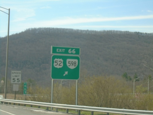
I-77 South - Exit 66
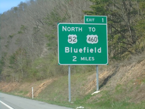
I-77 South at Exit 66 - US-52/VA-598. This is the first exit in Virginia southbound on I-77. US-52 leaves I-77 southbound.
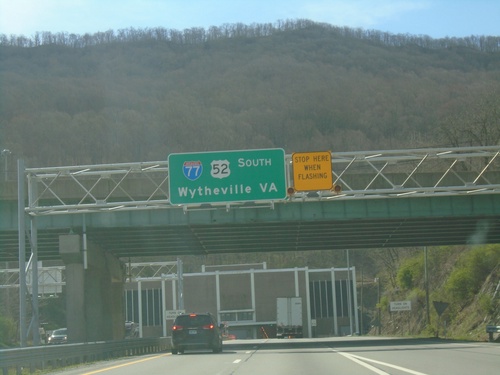
I-77 South Approaching East River Mountain Tunnel
I-77/US-52 South - Wytheville, VA approaching East River Mountain Tunnel.
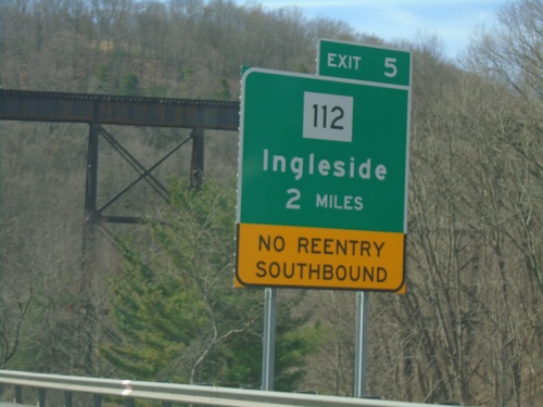
I-77 South - Exit 5
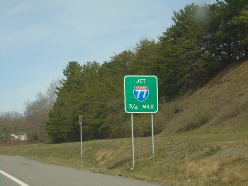
I-77 south approaching Exit 5 - WV-112/Ingleside. No re-entry to I-77 southbound at Exit 5.
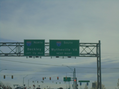
US-460 East Approaching I-77
US-460 East approaching I-77 in Princeton. Use I-77 South to Wytheville, VA. Use I-77 North to Beckley.
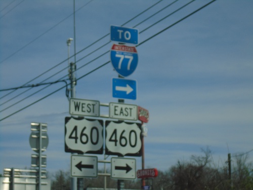
Ambrose Lane (WVCR-27/3) North at US-460
Ambrose Lane (WVCR-27/3) North at US-460. Use US-460 East to I-77.
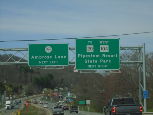
US-460 West Approaching WV-104 and WVCR-27/3
US-460 West approaching WV-104 and WVCR-27/3 in Princeton. Use WV-104 West to WV-20/Pipestem Resort State Park. Use WVCR-27/3 to Ambrose Lane.
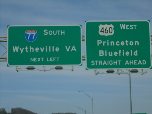
US-460 West Approaching I-77 South
US-460 West Approaching I-77 South to Wytheville, VA. Continue west on US-460 for Princeton and Bluefield.
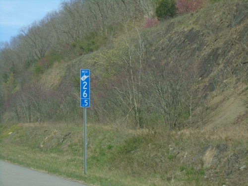
US-460 - Corridor Q Milemarker
Corridor Q Milemarker 26.5 on US-460 West. All of the Appalachian Development Highway System corridors in West Virginia have this type of mile marker style.
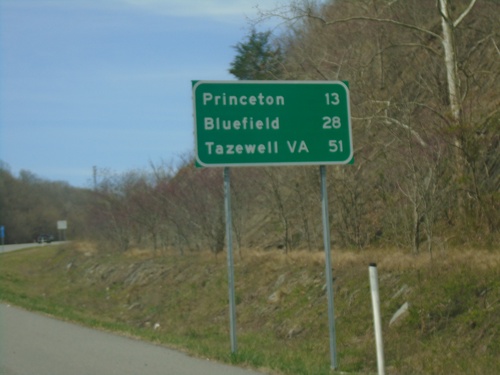
US-460 West - Distance Marker
Distance marker on US-460 west. Distance to Princeton, Bluefield, and Tazewell, VA.
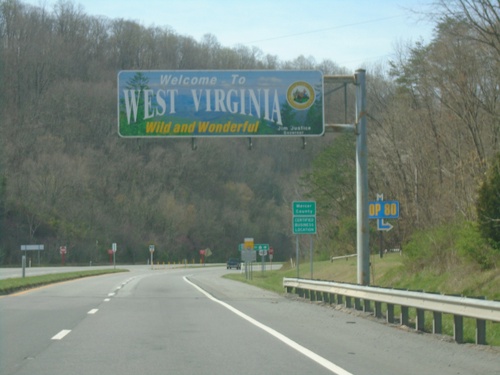
US-460 West - Entering West Virginia
Welcome To West Virginia - Wild and Wonderful on US-460 West. Taken at the Virginia/West Virginia State Line.
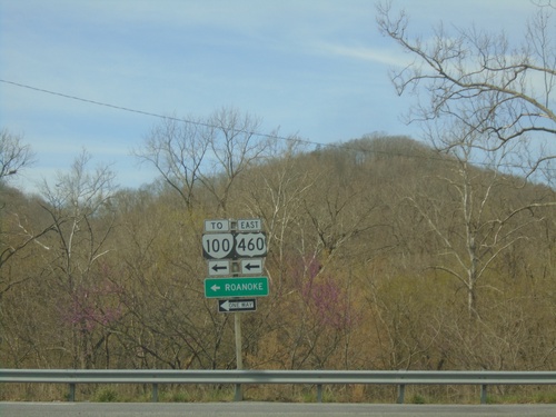
End US-219 South at US-460/To VA-100
End US-219 South at US-460/To VA-100. Use US-460 East to Roanoke. US-460 is part of Corridor Q.
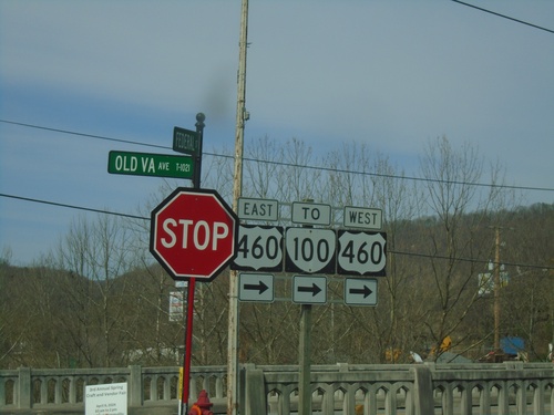
US-219 - Rich Creek
US-219 at Old Virginia St. in Rich Creek. Turn right to continue south on US-219, and for US-460/VA-100 junction.
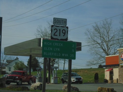
US-219 South - Distance Marker
Distance marker on US-219 south. Distance to Rich Creek, Glen Lyn, and Bluefield, WV.
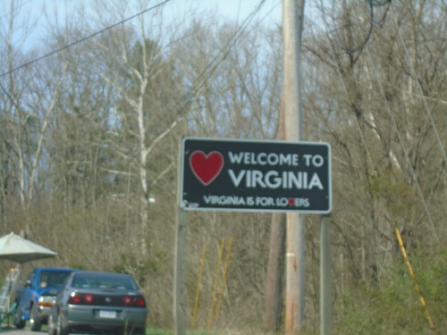
US-219 South - Welcome To Virginia
Welcome to Virginia - Virginia Is For Lovers on US-219 South. Taken at the Virginia/West Virginia State Line.
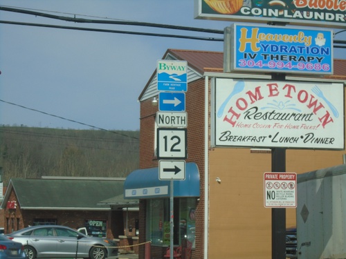
US-219 South at WV-12
US-219 South at WV-12 North in Peterstown. WV-12 is part of the Farm Heritage Road Scenic Byway.
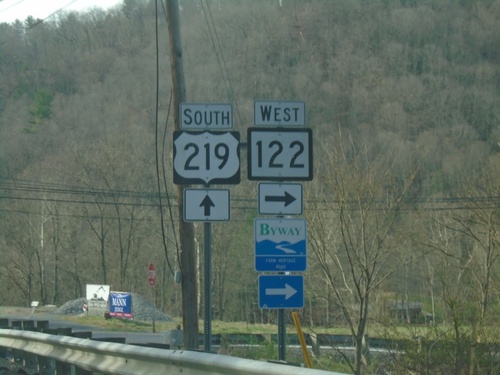
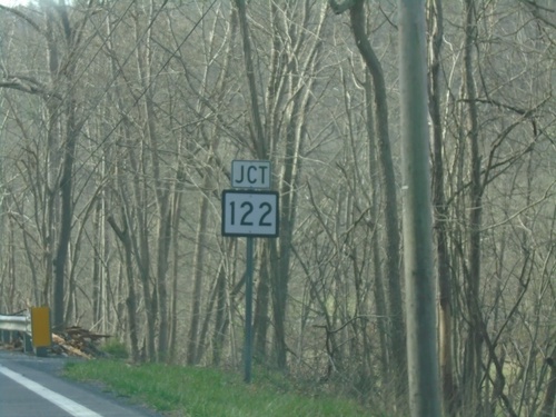
US-219 South at WV-122
US-219 South at WV-122 in Monroe County. WV-122 is part of the Farm Heritage Road Scenic Byway.
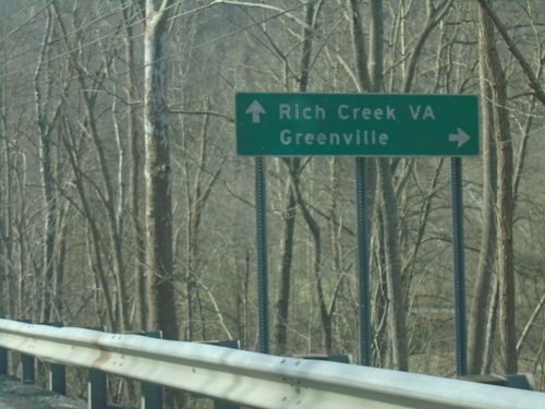
US-219 South at WV-122
US-219 South at WV-122 west to Greenville. Continue south on US-219 for Rich Creek, VA.
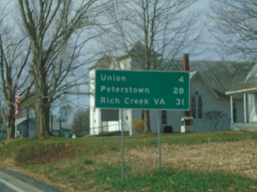
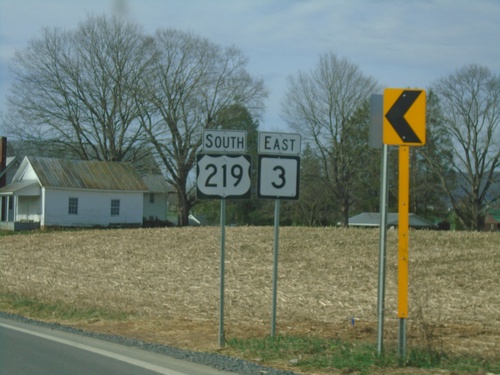
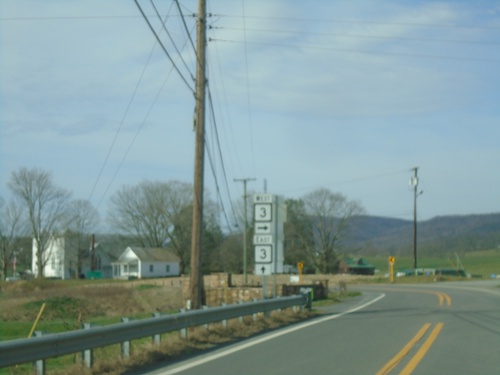
US-219 South/WV-3 East - Distance Marker
Distance Marker on US-219 South/WV-3 East. Distance to Union, Peterstown, and Rich Creek, VA.
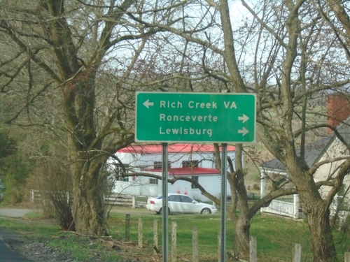
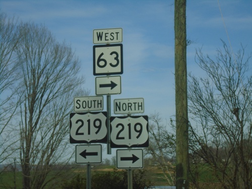
WV-63 West Approaching US-219
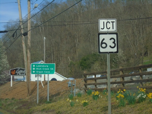
WV-63 West approaching US-219 in Organ Cave. Use US-219 North/WA-63 West to Ronceverte and Lewisburg; use US-219 South to Rich Creek, VA.
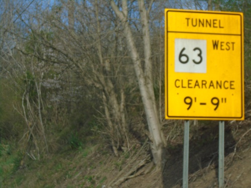
US-60 West Approaching WV-63 - Height Restrictions
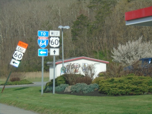
US-60 West approaching WV-63 in Caldwell. WV-63 westbound has a one lane tunnel with height restrictions.
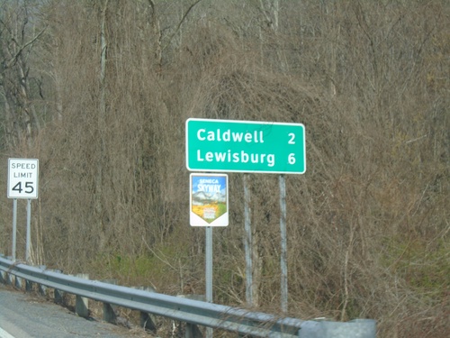
US-60 West - Distance Marker
Distance marker on US-60 west. Distance to Caldwell and Lewisburg. US-60 is part of the Seneca Skyway Mountain Ride.
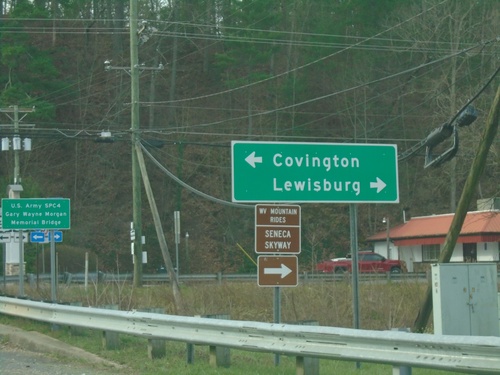
End WV-92 at US-60
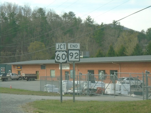
End WV-92 at US-60 in White Sulphur Springs. Use US-60 west to Lewisburg; US-60 east to Covington (VA).
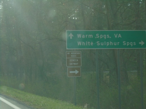
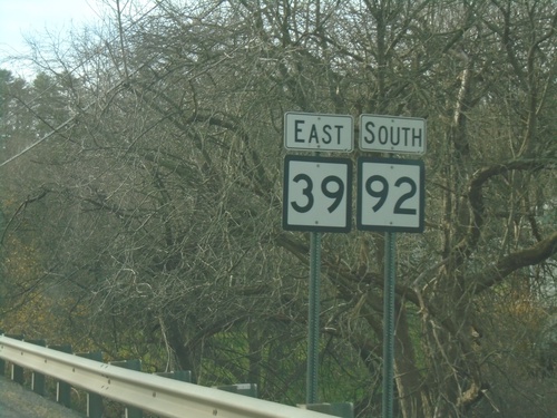
WV-39 East/WV-92 South Split
WV-39 East/WV-92 South split. Use WV-39 East to Warm Springs, VA. Use WV-92 South to White Sulphur Springs.
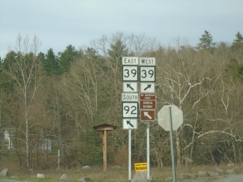
WV-92 South at WV-39 - Minnehaha Springs
WV-92 South at WV-39 in Minnehaha Springs. WV-39 East joins WV-92 southbound.
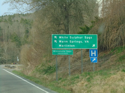
WV-92 South at WV-39 - Minnehaha Springs
WV-92 South at WV-39 in Minnehaha Springs. Use WV-39 West to Marlinton; WV-39 East/WV-92 South to White Sulphur Springs, and Warm Springs (VA).
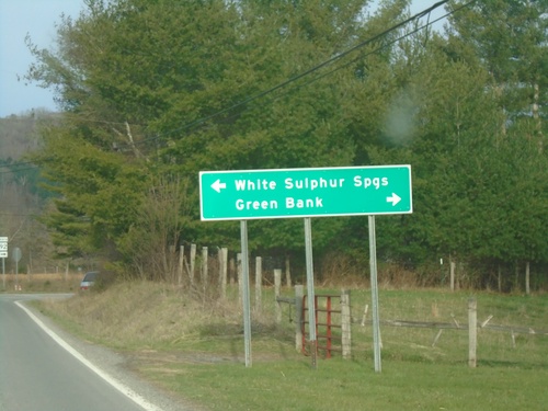
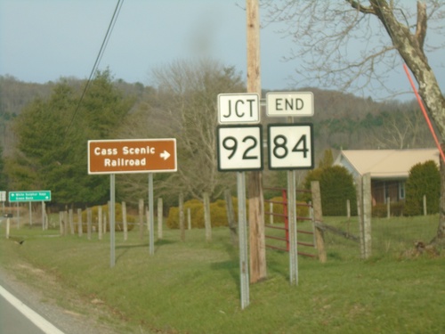
End WV-84 West at WV-92
End WV-84 West at WV-92 in Frost. Use WV-92 north to Green Bank; WV-92 south to White Sulphur Springs.
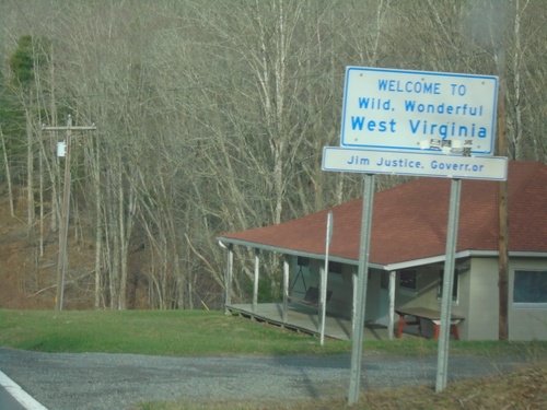
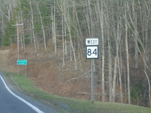
WV-84 West - Welcome To Wild, Wonderful West Virginia
Welcome To Wild, Wonderful West Virginia on WV-84 west.
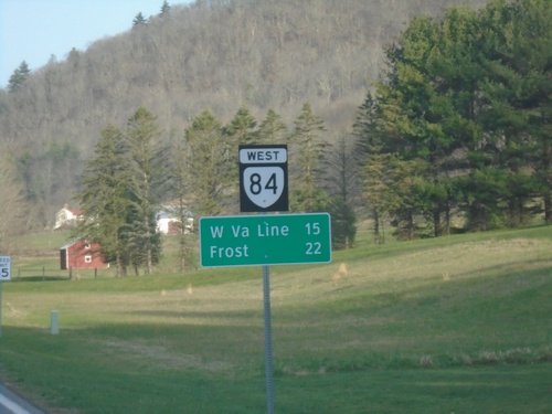
VA-84 West - Distance Marker
Distance marker on VA-84 west. Distance to West Virginia Line and Frost, WV.
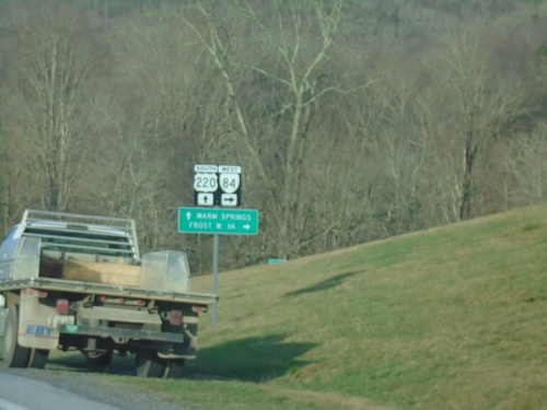
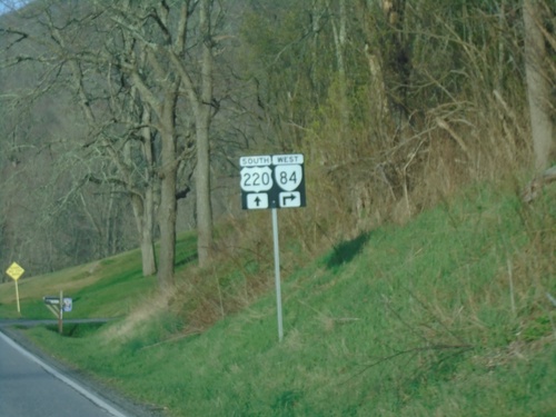
US-220 South at VA-84 West
US-220 South at VA-84 West to Frost, WV. Continue south on US-220 for Warm Springs.
US-220 South - Virginia
Entering Virginia on US-220 South. Taken at the Virginia/West Virginia State Line.
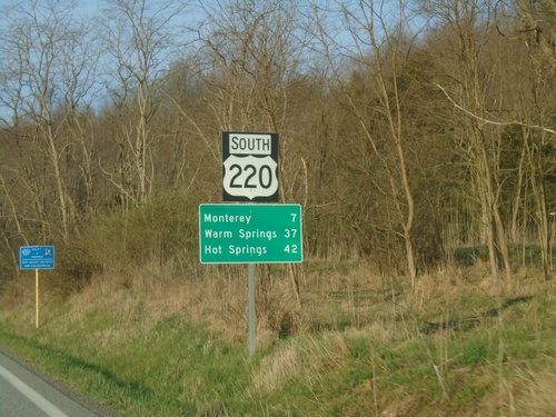
US-220 South - Distance Marker
Distance marker on US-220 south. Distance to Monterey, Warm Springs, and Hot Springs. This is the first distance marker southbound in Virginia. Most of the highway shields in Highland County seem to have a combined shield and banner into one assembly.
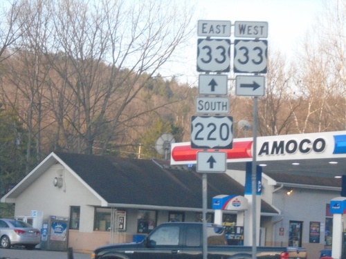
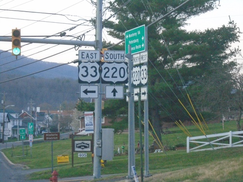
US-220 South at US-33
US-220 South at US-33 in Franklin. US-33 East joins US-220 South through Franklin.
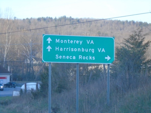
US-220 South Approaching US-33
US-220 South approaching US-33 in Franklin. Use US-33 west to Seneca Rocks. Use US-33 West/US-220 South to Monterey, VA (via US-220) and Harrisonburg, VA (via US-33).
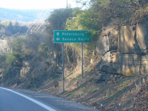
US-33 West/US-220 North Approaching US-33/US-220 Split
US-33 West/US-220 North approaching US-33/US-220 Split in Franklin. Use US-33 for Seneca Rocks; US-220 for Petersburg.
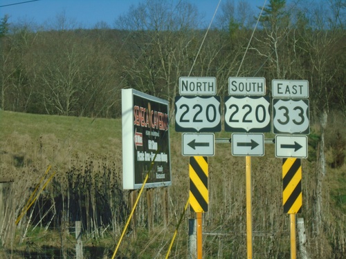
US-33 East at US-220
US-33 East at US-220 in Franklin. US-33 East joins US-220 South through Franklin.
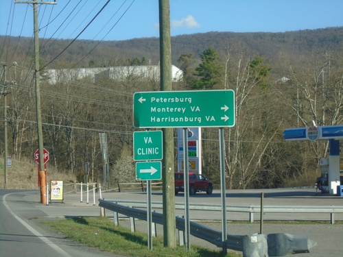
US-33 East Approaching US-220
US-33 East approaching US-220 in Franklin. Use US-220 north to Petersburg; US-220 South/US-33 East to Monterey, VA (via US-220) and Harrisonburg, VA (via US-33).
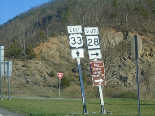
US-33 East/WV-28 South at US-33/WV-28 Split
US-33 East/WV-28 South at US-33/WV-28 split at Judy Gap. Use WV-28 south for the Scenic Skyway Mountain Rides route.
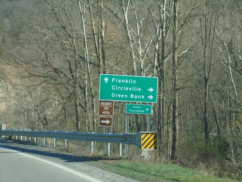
US-33 East/WV-28 South at US-33/WV-28 Split
US-33 East/WV-28 South at US-33/WV-28 Split at Judy Gap. Use WV-28 south to Circleville and Greenbank; use US-33 east to Franklin.
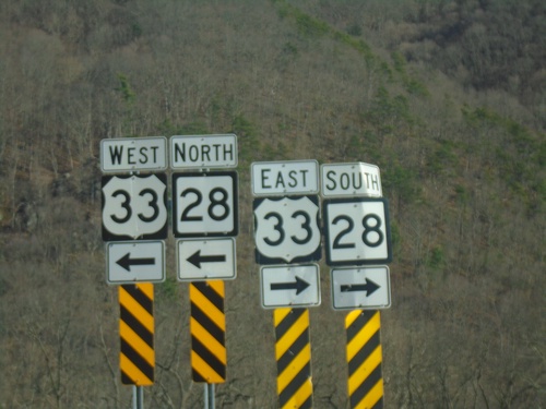
End Briery Gap Road (WVCR-33/4) at US-33/WV-28
End Briery Gap Road (WVCR-33/4) at US-33/WV-28 near Judy Gap.
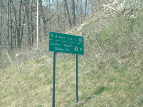
Briery Gap Road at Lower Timber Ridge Road
Briery Gap Road (WVCR-33/4) at Lower Timber Ridge Road (WVCR-6).
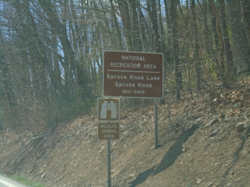
US-33 East/WV-28 South Approaching WVCR-33/4
US-33 East/WV-28 South approaching WVCR-33/4 to Spruce Knob and Spruce Knob Lake National Recreation Areas. Spruce Knob is the highest point in West Virginia.
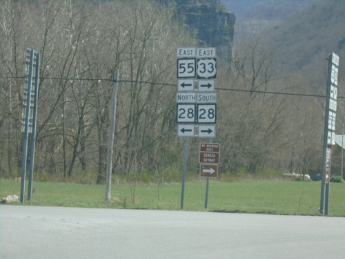
US-33/WV-55 East at WV-28 - Seneca Rocks
US-33/WV-55 East at WV-28 in Seneca Rocks. Turn left for WV-55 East/WV-28 North; turn right for US-33 East/WV-28 South.
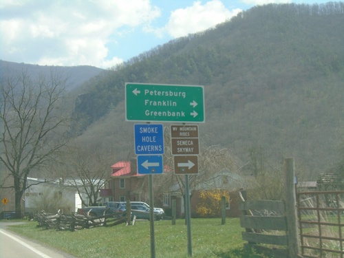
US-33/WV-55 East at WV-28 - Seneca Rocks
US-33/WV-55 East at WV-28 in Seneca Rocks. Use WV-55 East/WV-28 North to Petersburg; US-33 East/WV-28 South to Franklin and Greenbank. US-33 East/WV-28 South is part of the Seneca Skyway Mountain Rides route.
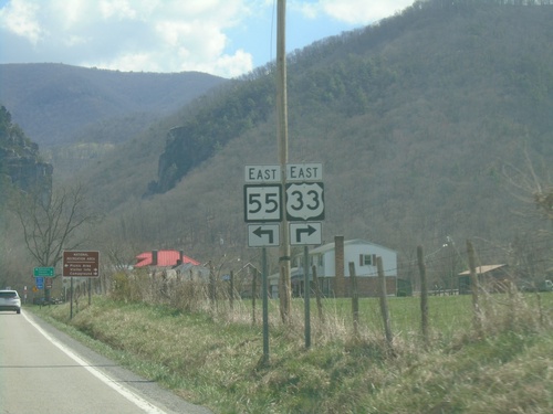
US-33/WV-55 East Approaching WV-28
US-33/WV-55 East approaching WV-28 in Seneca Rocks. Turn right to continue east on US-33; turn left to continue east on WV-55.
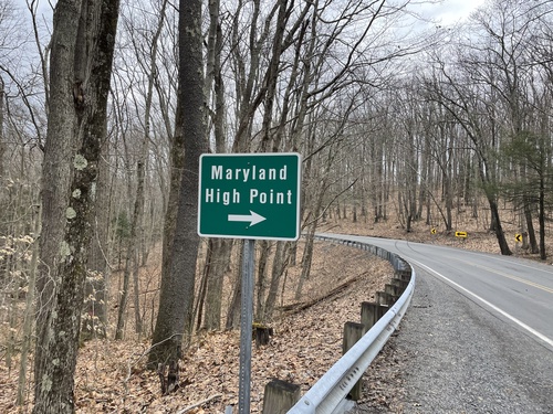
US-219 - Maryland High Point (Trailhead)
US-219 North at trailhead to Maryland High Point (Hoye Crest).
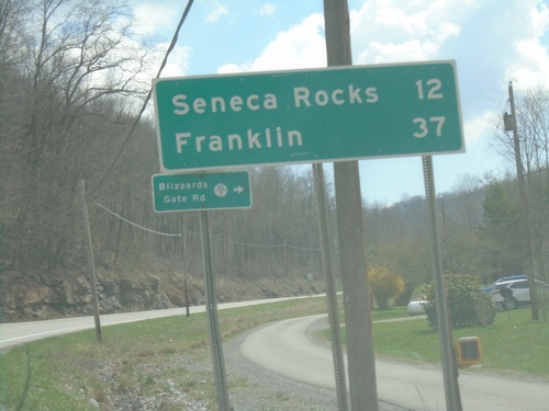
US-33/WV-55 East - Distance Marker and WVCR-33/3 Junction
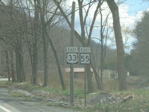
Distance Marker on US-33/WV-55 East. Distance to Seneca Rocks and Franklin. Junction with WVCR-33/3 / Blizzards Gate Road.
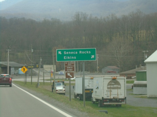
End WV-32 South at US-33/WV-55
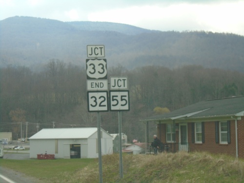
End WV-32 South at US-33/WV-55. Use US-33/WV-55 East to Seneca Rocks; US-33/WV-55 West to Elkins.
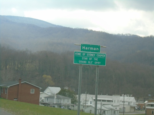
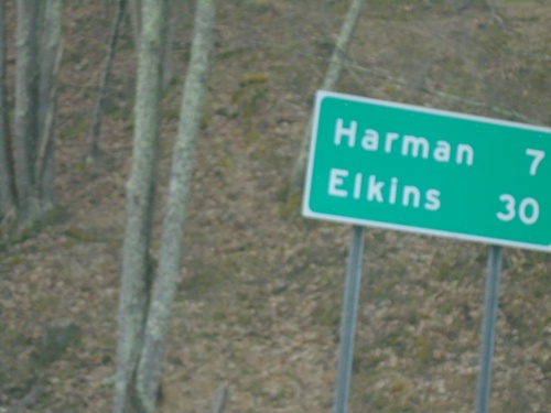
WV-32 South - Harman
Entering Harman on WV-32 South. Home of Stoney Cooper, Star of the Grand Ole Opry.
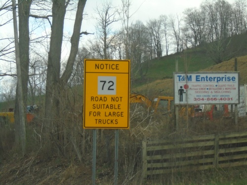
WV-72 Warning on WV-32 South
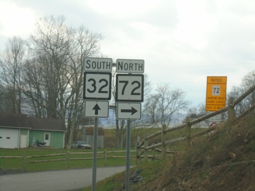
WV-32 South Approaching WV-72. Warning sign for WV-72 traffic: Road Not Suitable for Large Trucks.
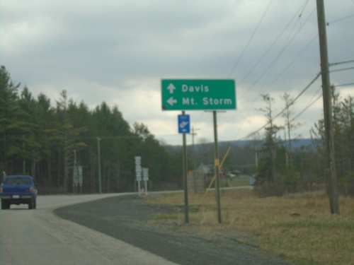
US-48 East/WV-32 South at US-48/WV-93
US-48 East/WV-32 South at US-48/WV-93 to Mount Storm. Continue south on WV-32 to Davis.
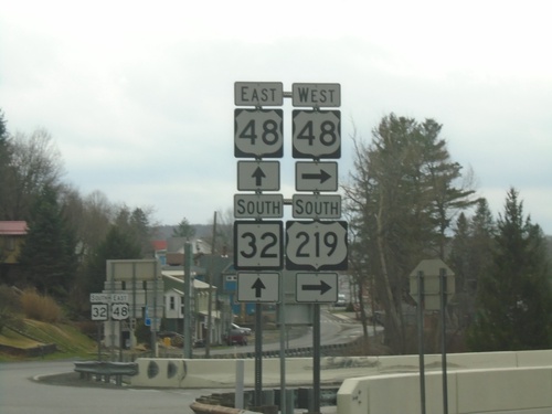
US-219 South at US-48/WV-32
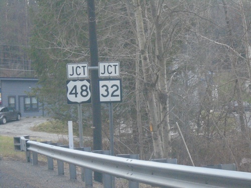
US-219 South at US-48/WV-32 in Thomas. Turn right for US-48 West/US-219 South. Continue straight for US-48 East/WV-32 South.
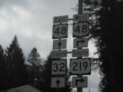
US-219 South at US-48/WV-32
US-219 South at US-48/WV-32 in Thomas. Turn right for US-48 West/US-219 South. Continue straight for US-48 East/WV-32 South.
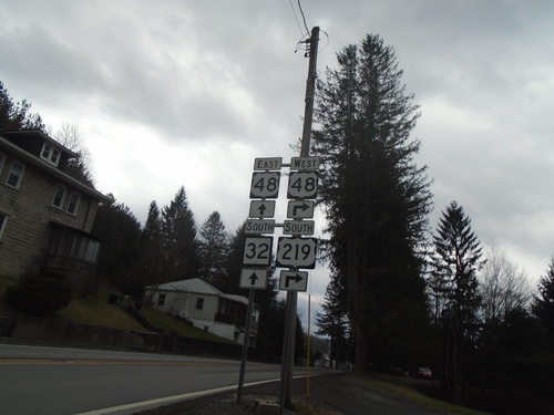
US-219 South at US-48/WV-32
US-219 South at US-48/WV-32 in Thomas. Turn right for US-48 West/US-219 South. Continue straight for US-48 East/WV-32 South.
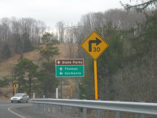
US-219 South at WV-90
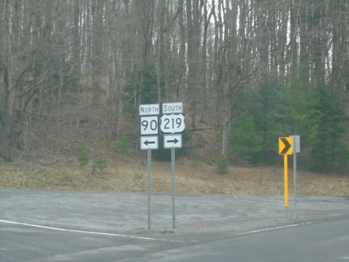
US-219 South at WV-90 east to Gormania. Continue south on US-219 for Thomas and State Parks.
US-219 South - Preston County
Preston County on US-219 south. Taken at the West Virginia/Maryland State Line.
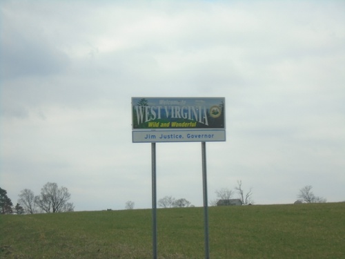
US-219 South - Welcome To West Virginia
Welcome To West Virginia - Wild and Wonderful. Jim Justice, Governor. On US-219 south at the Maryland/West Virginia state line.
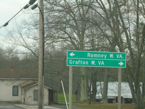
US-219 South at US-50
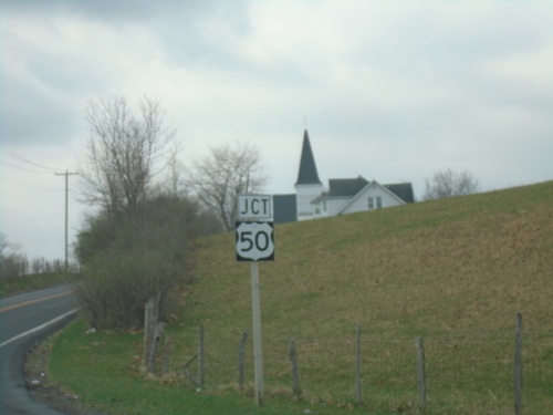
US-219 South at US-50 at Red House. Turn right on US-50 West to Grafton, WV; turn left on US-50 east to Romney, WV.
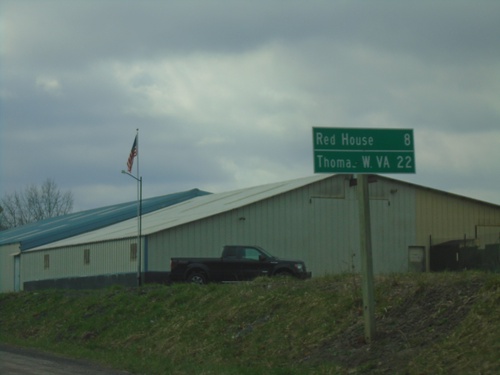
US-219 South - Distance Marker
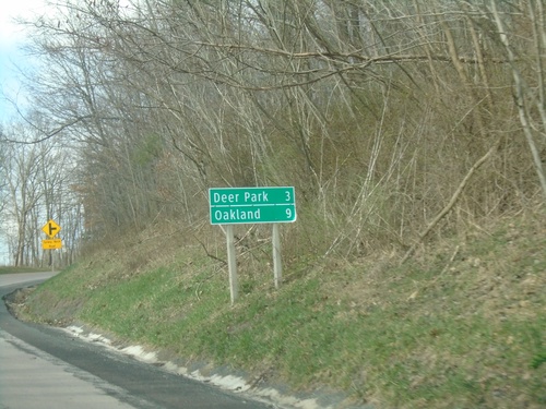
Distance marker on US-219 south. Distance to Red House and Thomas, WV.
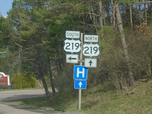
End MD-135 West at US-219
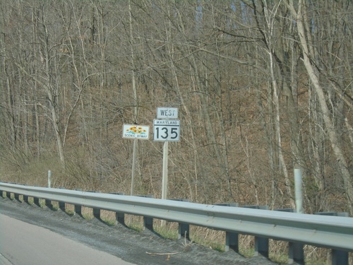
End MD-135 West at US-219 in Oakland. Turn left for US-219 south; continue straight for US-219 north.
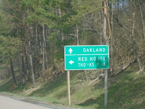
End MD-135 West at US-219
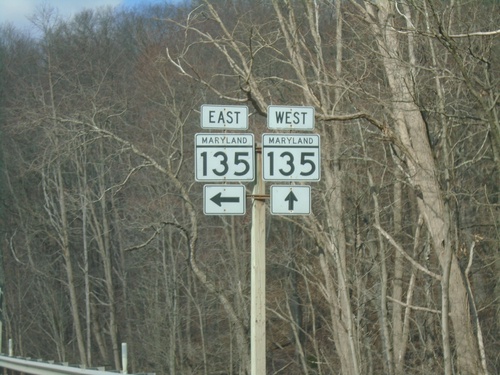
End MD-135 West at US-219 in Oakland. Use US-219 north to Oakland; US-219 south to Red House and Thomas, WV.
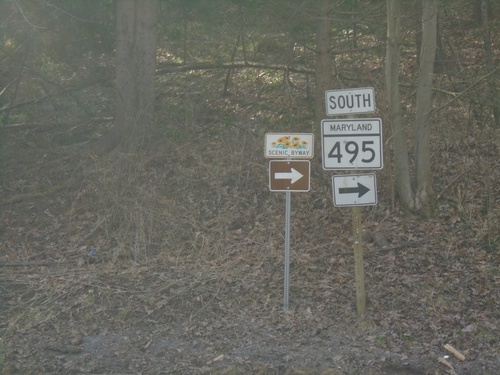
MD-495 South at Swanton Hill Road
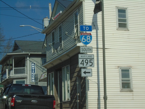
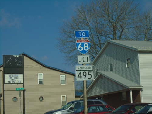
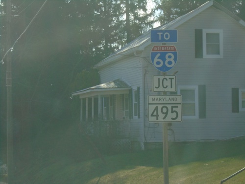
MD-495 South at Swanton Hill Road. Turn right to continue south on MD-495 (Maryland Mountain Scenic Byway).
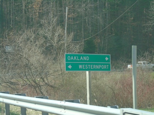
MD-495 South at Swanton Hill Road
MD-495 South at Swanton Hill Road. Turn left for Swanton Hill Road east to Westernport; right for MD-495 south to Oakland.
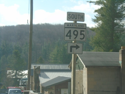
MD-495 South at Swanton Hill Road
MD-495 South at Swanton Hill Road. Turn right to continue south on MD-495.
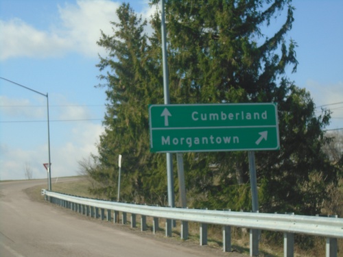
MD-495 South at I-68/US-40/US-219
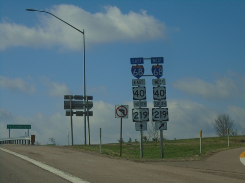
MD-495 South at I-68/US-40/US-219. Merge right for I-68/US-40 West/US-219 South to Morgantown (WV). Continue over freeway for I-68/US-40 East/US-219 North to Cumberland.
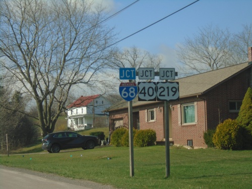
MD-495 South Approaching I-68/US-40/US-219
MD-495 South approaching I-68/US-40/US-219 in Grantsville.
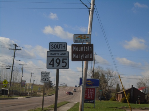
MD-495 South - Maryland Mountain Scenic Byway
MD-495 South - Maryland Mountain Scenic Byway in Grantsville.
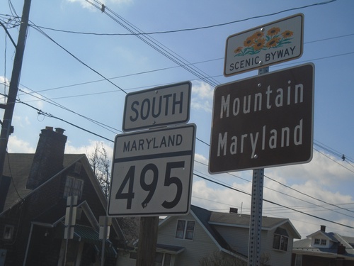
MD-495 South - Maryland Mountain Scenic Byway
MD-495 South - Maryland Mountain Scenic Byway in Grantsville.
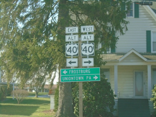
End MD-669 South at US-40 Alternate
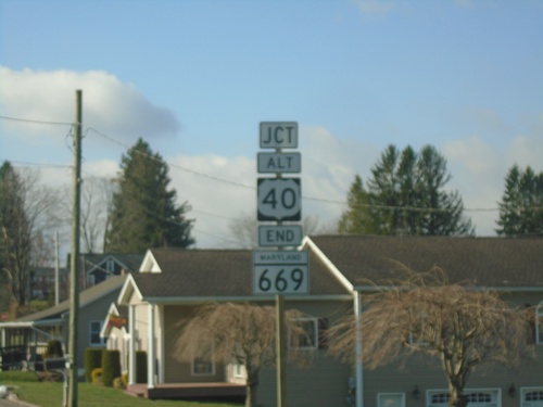
End MD-669 South at US-40 Alternate in Grantsville. Use US-40 ALT west to Uniontown, PA; use US-40 ALT east to Frostburg.
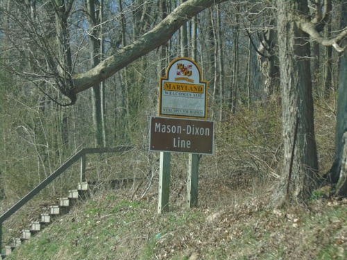
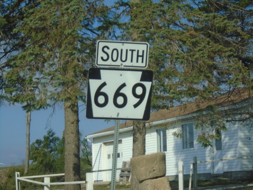
MD-669 South - Maryland Welcomes You
Maryland Welcomes You on MD-669 South. At the Maryland/Pennsylvania state line. This boundary is the Mason-Dixon Line.
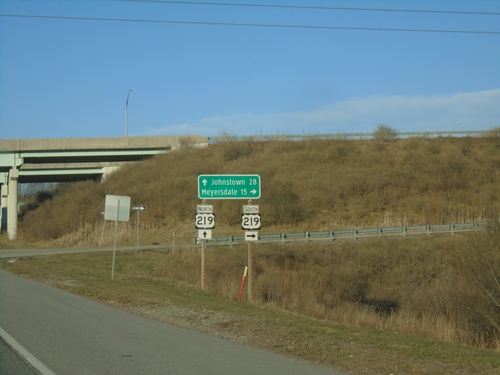
PA-281 North at US-219 Interchange
PA-281 North at US-219 interchange. Use US-219 South to Meyersdale; US-219 North to Johnstown.
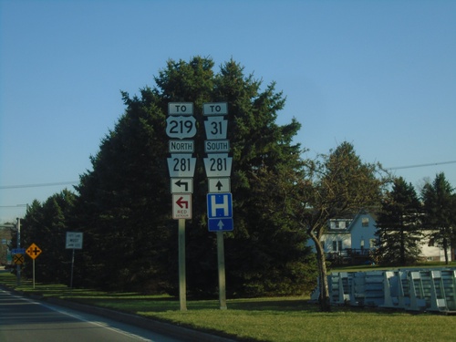
Pleasant Ave. at PA-281 - Somerset
Pleasant Ave. at PA-281 in Somerset. Use PA-281 south to PA-31; use PA-281 north to US-219.
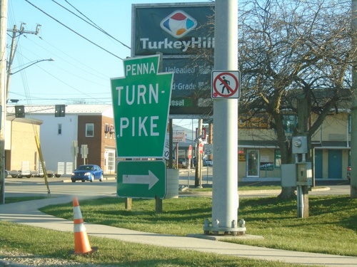
Pennsylvania Turnpike Entrance - Somerset Interchange
PA-601 at Pennsylvania Turnpike Entrance - Somerset Interchange (Exit 110).
Pennsylvania Turnpike (Exit 110) Ramp Approaching PA-601
Pennsylvania Turnpike (Somerset Interchange / Exit 110) ramp approaching PA-601. Use PA-601 south to PA-31 West/PA-281 South. Continue straight for PA-31 East/PA-281 North.
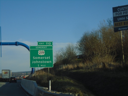
I-70/I-76 East - Somerset Interchange
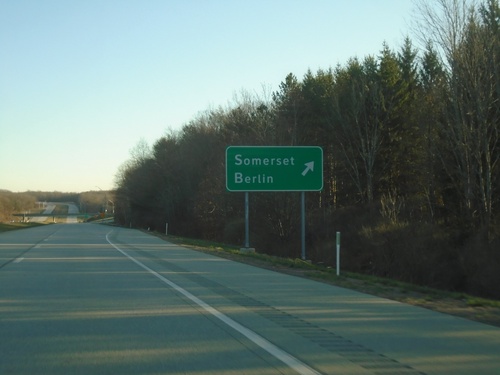
I-70/I-76 East approaching Exit 110 (Somerset Interchange) - US-219/Somerset/Johnstown.
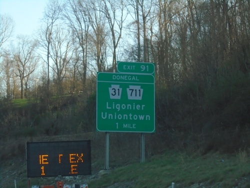
I-70/I-76 East - Donegal Interchange
I-70/I-76 East approaching Exit 91 (Donegal Interchange) - PA-31/PA-711/Ligonier/Uniontown.
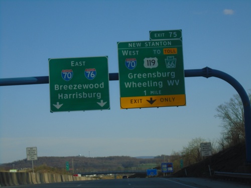
I-76 East - New Stanton Interchange
I-76 east approaching Exit 75 (New Stanton Interchange) - I-70/To US-119/To Toll PA-66/Greensburg/Wheeling, WV. I-70/I-76 continue eastbound to Breezewood and Harrisburg.
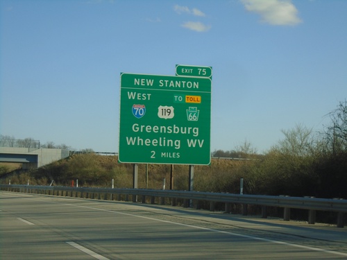
I-76 East - New Stanton Interchange
I-76 East approaching Exit 75 (New Stanton Interchange) - I-70/To US-119/To Toll PA-66/Greensburg/Wheeling, WV. I-70 joins I-76 eastbound to Breezewood.
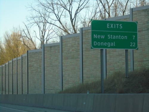
I-76 (Pennsylvania Turnpike) - Next Exits
Distance marker on I-76/Pennsylvania Turnpike. Distance to New Stanton and Donegal exits.
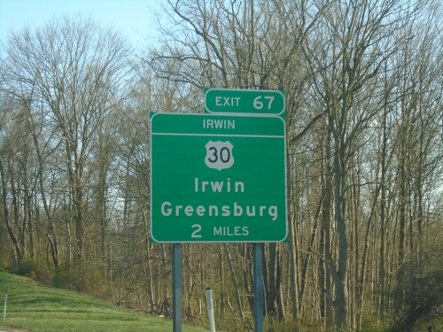
I-76 East - Exit 67 (Irwin Interchange)
I-76 East approaching Exit 67 (Irwin Interchange) - US-30/Irwin/Greensburg.
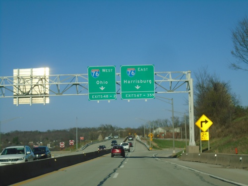
Transition from I-376 to Pennsylvania Turnpike
Transition from I-376 to Pennsylvania Turnpike. Use right lane for I-76 East to Harrisburg (Exits 67-359). Use left lane for I-76 East to Ohio (Exits 48-2).
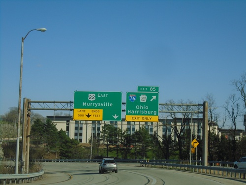
End I-376 East at I-76 (Exit 85) and US-22
End I-376 East at I-76 (Exit 85) and US-22. Use Exit 85 for I-76/Pennsylvania Turnpike/Ohio/Harrisburg. Continue on freeway for US-22 East to Murrysville.
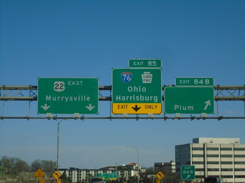
I-376 East - Exits 84B and 85
I-376 Eat at Exit 84B - Plum. Approaching I-76/Pennsylvania Turnpike/Ohio/Harrisburg. Continue straight on freeway for US-22 East/Murrysville.
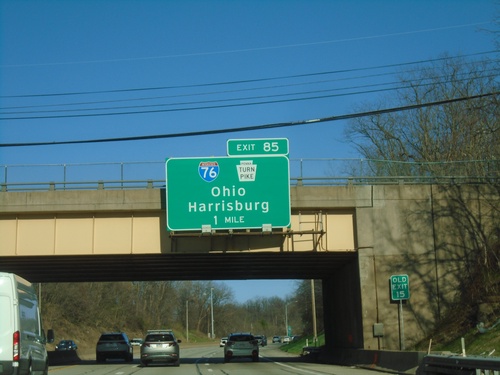
I-376 East Approaching Exit 85
I-376 east approaching Exit 85 - I-76/Pennsylvania Turnpike/Ohio/Harrisburg.
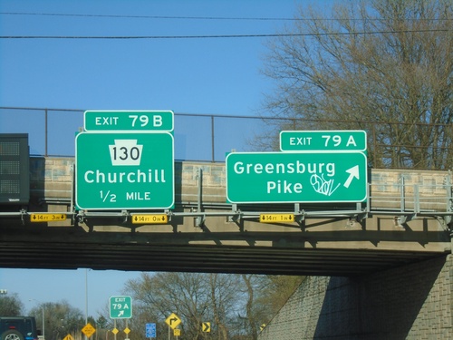
I-376 East - Exit 79A and 78B
I-376 east at Exit 79A - Greensburg Pike. Approaching Exit 78B - PA-130/Churchill.
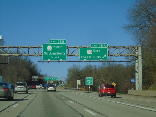
I-376 East - Exits 70A and 70B
I-376 East at Exit 70A - US-30 East/Forest Hills. Approaching Exit 70B - PA-8/Wilkinsburg. US-30 eastbound leaves I-376 here.
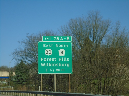
I-376 East - Exit 78
I-376 East approaching Exit 78A-B - US-30 East/PA-8 North/Forest Hills/Wilkinsburg.
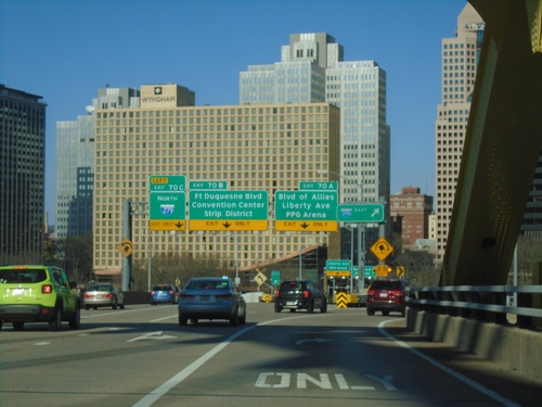
I-376 East - Exits 70A, 70B, and 70C
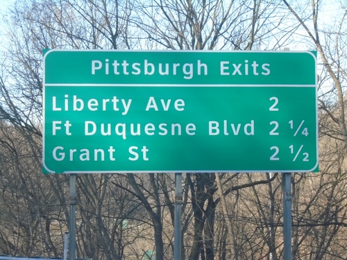
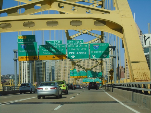
I-376 East at Exit 70A - Blvd. of Allies/Liberty Ave./PPG Arena, 70B - Ft. Duquesne Blvd/Convention Center/Strip District, and 70C - I-279 North. I-376 exits to the right. Picture taken at the end of the Fort Pitt Bridge with the Pittsburgh skyline in the background.
I-376 East - Exits 70A, 70B, and 70C
I-376 east approaching Exit 70A - Blvd. of Allies/Liberty Ave./PPG Arena. Approaching Exit 70B - Fort Duquesne Blvd./Convention Center/Strip District. Approaching Exit 70C - I-279 North/North Shore. Picture taken on the Fort Pitt Bridge with the Pittsburgh skyline in the background.
I-376 East - Exits 69B and 69C
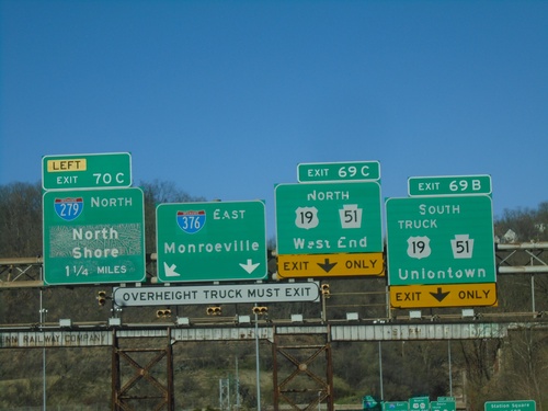
I-376 east at Exit 69B - US-19 Truck South/PA-51 South/Uniontown, and Exit 69C - US-19/PA-51 North/West End. Approaching Exit 70C - I-279 North/North Shore. Continue east on I-376 for Monroeville.
I-376 East - Exit 69B-C
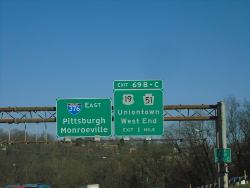
I-376 East approaching Exit 69B-C - US-19/PA-51/Uniontown/West End. Continue east on I-376 for Pittsburgh and Monroeville.
I-376 East - Exit 67
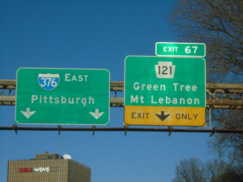
I-376 east at Exit 67 - PA-121/Green Tree/Mt Lebanon. Continue east on I-376 to Pittsburgh.
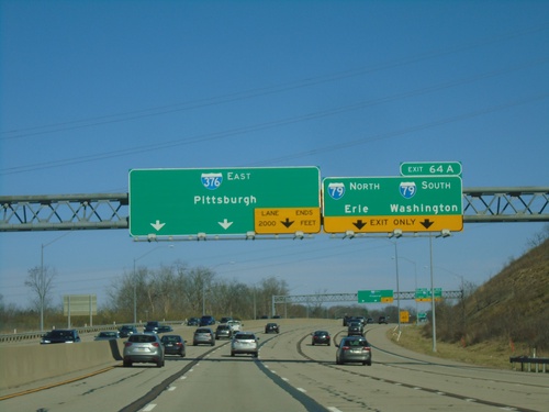
I-376 East - Exit 64A
I-376 East at Exit 64A - I-79 North/Erie and I-79 South/Washington. Continue east on I-376 to Pittsburgh.
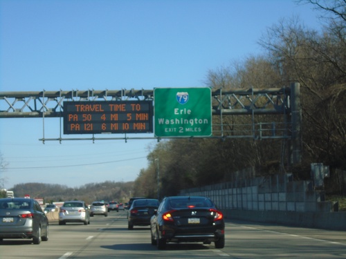
I-376 East - Exit 64
I-376 east approaching Exit 64 - I-79/Erie/Washington. A Pittsburgh area travel time display is part of the sign assembly.
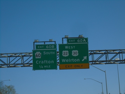
I-376 East - Exits 60A and 60B
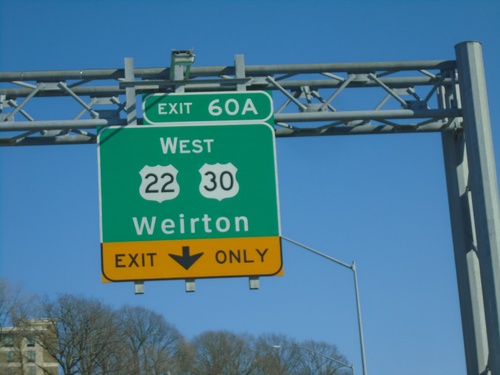
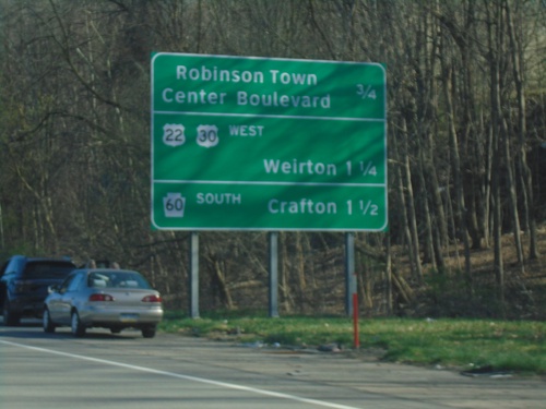
I-376 east at Exit 60A - US-22/US-30 West/Weirton (WV). Approaching Exit 60B - PA-60 South/Crafton.
