Javascript Is Required To Use This Page

Signs From November 2024
I-90 East - Exit 174

I-90 East - Exit 174

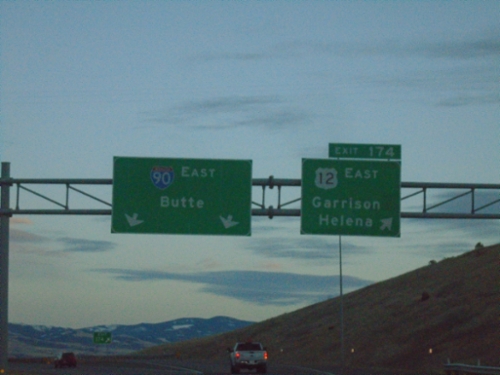
I-90 east at Exit 174 - US-12 East/Garrison/Helena. Continue east on I-90 to Butte. US-12 east leaves I-90 eastbound here.
I-90 East - Exit 174

I-90 East - Exit 174

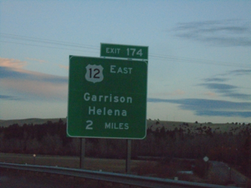
I-90 east approaching Exit 174 - US-12 East/Garrison/Helena. US-12 east leaves I-90 eastbound here.
I-90 East - Exit 166

I-90 East - Exit 166

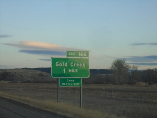
I-90 east approaching Exit 166 - Gold Creek. Access to Camp Mak-a-Dream.

I-90 East - Exit 162

I-90 East - Exit 162

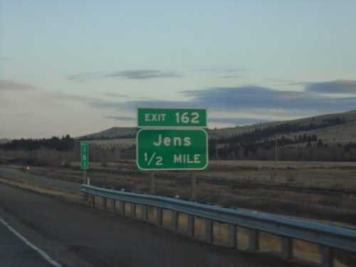
I-90 east approaching Exit 162 - Jens.

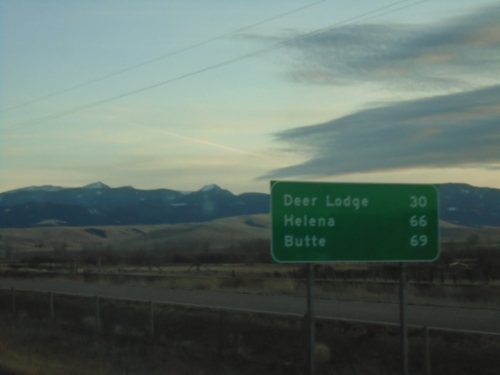
I-90 East - Distance Marker

I-90 East - Distance Marker

Distance marker on I-90 east. Distance to Deer Lodge, Helena (via US-12) and Butte (via I-90).
I-90 East - Exit 153

I-90 East - Exit 153

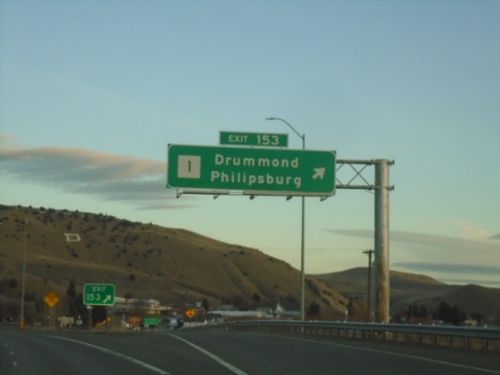
I-90 east at Exit 153 - MT-1/Drummond/Phillipsburg.

I-90 East - Exit 153

I-90 East - Exit 153

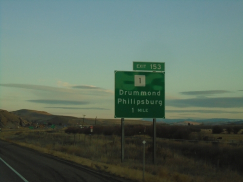
I-90 east approaching Exit 153 - MT-1/Drummond/Phillipsburg.

I-90 East - Exit 138

I-90 East - Exit 138

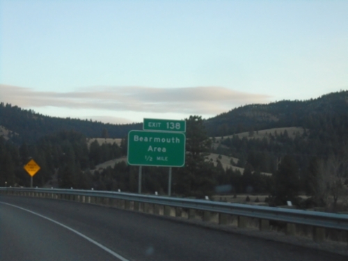
I-90 east approaching Exit 138 - Bearmouth Area.

I-90 East - Granite County

I-90 East - Granite County

Entering Granite County on I-90 East.

I-90 East - Exit 130

I-90 East - Exit 130

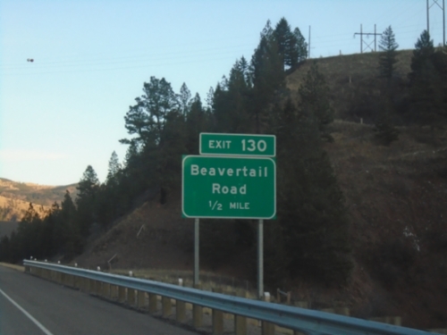
I-90 east approaching Exit 130 - Beavertail Road.

I-90 East - Exit 126

I-90 East - Exit 126

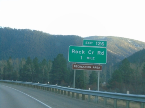
I-90 east approaching Exit 126 - Rock Creek Road.

I-90 East - Exit 120

I-90 East - Exit 120

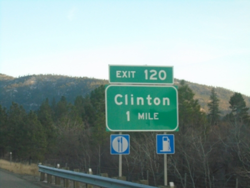
I-90 east approaching Exit 120 - Clinton.

I-90 East - Exit 113

I-90 East - Exit 113

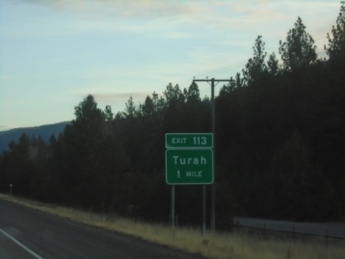
I-90 east approaching Exit 113 - Turah.

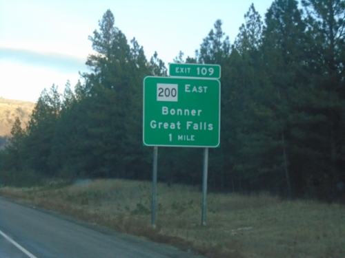
I-90 East - Exit 109

I-90 East - Exit 109

I-90 east approaching Exit 109 - MT-200 East/Bonner/Great Falls. MT-200 leaves I-90 eastbound here.
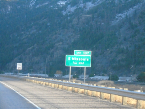
I-90 East - Exit 107

I-90 East - Exit 107

I-90 east approaching Exit 107 - East Missoula.

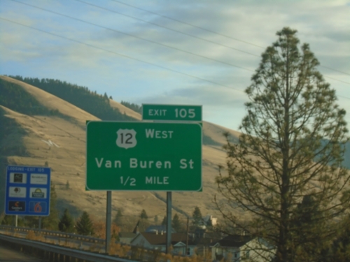
I-90 East - Exit 105

I-90 East - Exit 105

I-90 east approaching Exit 105 - US-12 West/Van Buren St. US-12 east joins I-90 eastbound to Garrison.
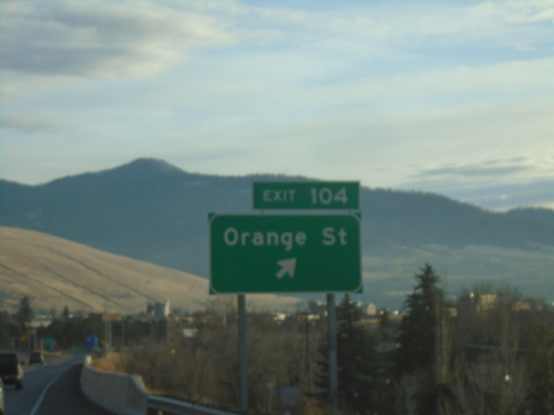
I-90 East - Exit 104

I-90 East - Exit 104

I-90 east at Exit 104 - Orange St.

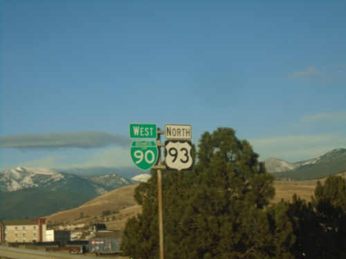
US-93 North/BL-90 West at I-90/MT-200

US-93 North/BL-90 West at I-90/MT-200

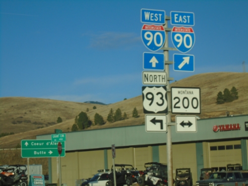
US-93 North/BL-90 West at I-90/MT-200 (Exit 101). Use I-90/MT-200 East to Butte; use I-90/MT-200 West/US-93 North to Coeur d’Alene.
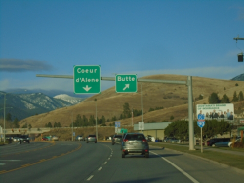
US-93 North/BL-90 West Approaching I-90

US-93 North/BL-90 West Approaching I-90

US-93 North/BL-90 West (Reserve St.) approaching I-90/MT-200. Use I-90/MT-200 East to Butte; I-90/MT-200 West to Coeur d’Alene (Idaho). US-93 north joins westbound I-90/MT-200.
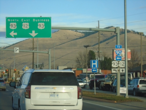
US-93 North/BL-90 West - Missoula

US-93 North/BL-90 West - Missoula

US-93 North/BL-90 West along Reserve St. in Missoula

US-12 East/US-93 North at US-12/US-93 Split

US-12 East/US-93 North at US-12/US-93 Split

US-12 East/US-93 North (Brooks St.) at Reserve St. Use Reserve St. north for US-93 North and I-90 access; continue on Brooks St. for US-12 East/Bus. US-93 North.
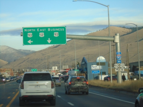
US-93 North/US-12 East at US-12/US-93 Spilt

US-93 North/US-12 East at US-12/US-93 Spilt

US-93 North/US-12 East (Brooks St.) at Reserve St. Use Reserve St. north for US-93 North and for I-90. Continue on Brooks St. for US-12 East and Bus. US-93 North.
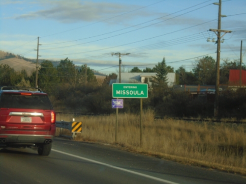
US-12 East/US-93 North - Entering Missoula

US-12 East/US-93 North - Entering Missoula

Entering Missoula on US-12 East/US-93 North. Missoula is the 2nd largest city in Montana.
US-12 East at US-93 in Lolo

US-12 East at US-93 in Lolo

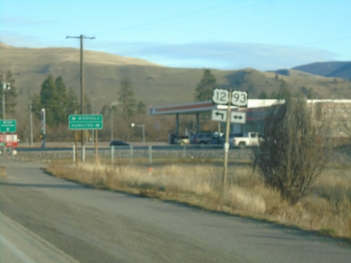
US-12 East at US-93 in Lolo. Use US-93 South to Hamilton; US-12 East/US-93 North to Missoula. US-93 North joins US-12 East to Missoula.
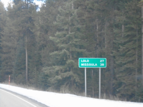
US-12 East - Distance Marker

US-12 East - Distance Marker

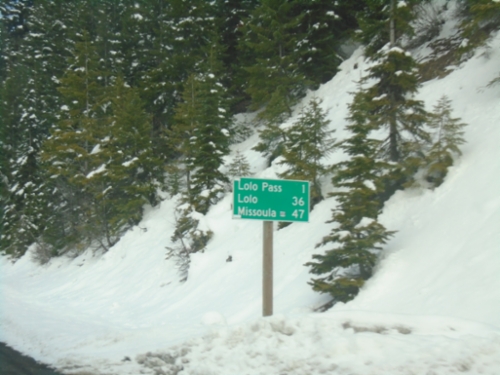
Distance marker on US-12 east. Distance to Lolo and Missoula.

US-12 East - Welcome To Montana

US-12 East - Welcome To Montana

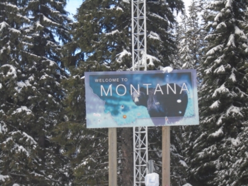
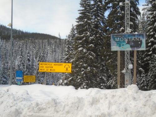
Welcome To Montana on US-12 east at Lolo Pass. Motorcycle Advisory - Use Caution Next 32 Miles.
US-12 East - Welcome To Montana

US-12 East - Welcome To Montana

Welcome To Montana on US-12 east at Lolo Pass.

US-12 East - Distance Marker

US-12 East - Distance Marker

Last distance marker in Idaho on US-12 east. Distance to Lolo Pass, Lolo (Montana), and Missoula (Montana).
US-12 East - Lolo Pass Chain-Up Area

US-12 East - Lolo Pass Chain-Up Area

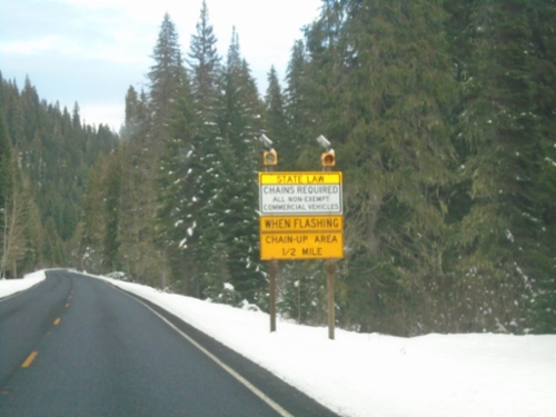
US-12 east approaching Chain-Up Area on approach to Lolo Pass.

US-12 East Approaching Powell Junction

US-12 East Approaching Powell Junction

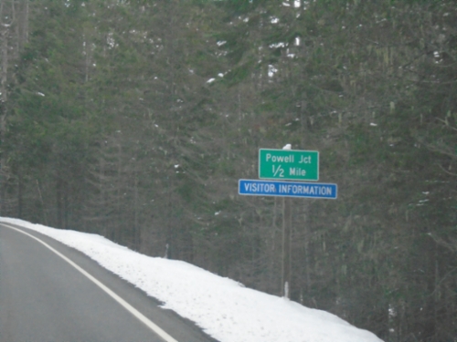
US-12 East approaching Powell Junction.

US-12 East - Nez Perce Trail

US-12 East - Nez Perce Trail

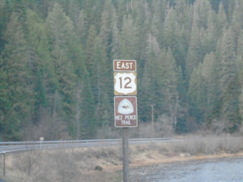
US-12 East - Nez Perce Trail. The Lochsa River is in the background. The US-12 shield is the old style Idaho scenic byway shield, which was brown instead of black.
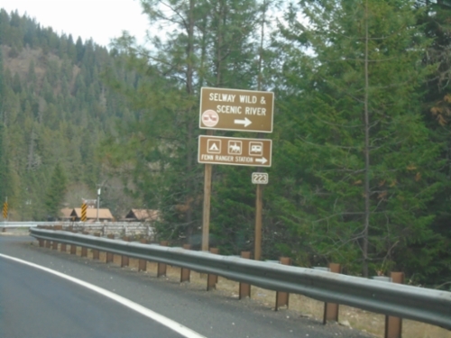
US-12 East - Selway Road Junction

US-12 East - Selway Road Junction

US-12 East at Selway Road (FS 223) Junction to Selway Wild and Scenic River.
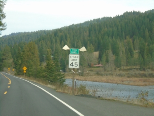
US-12 East - Lowell

US-12 East - Lowell

Entering Lowell on US-12 east. Lowell is where the Lochsa and Selway Rivers combine to form the Clearwater River.
US-12 East - Syringa

US-12 East - Syringa

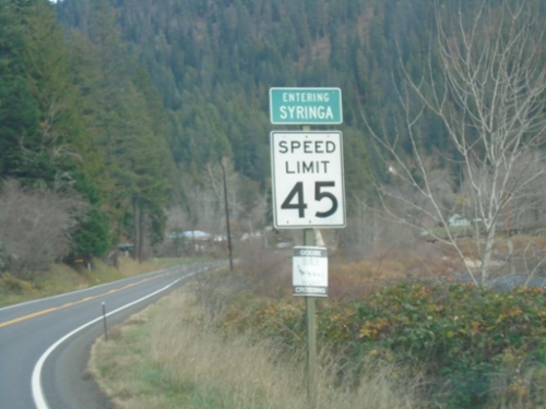
Entering Syringa on US-12 east. Syringa is the Idaho state flower.

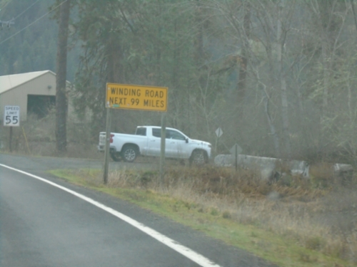
US-12 East - Winding Road

US-12 East - Winding Road

Winding Road Next 99 Miles on US-12 east. The next 99 miles are following the Clearwater and Lochsa River up to Lolo Pass.
ID-13 North - Stites

ID-13 North - Stites

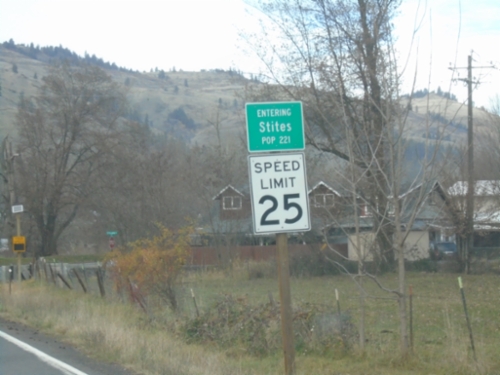
Entering Stites on ID-13 North. Population 221.

ID-13 - Northwest Passage Scenic Byway

ID-13 - Northwest Passage Scenic Byway

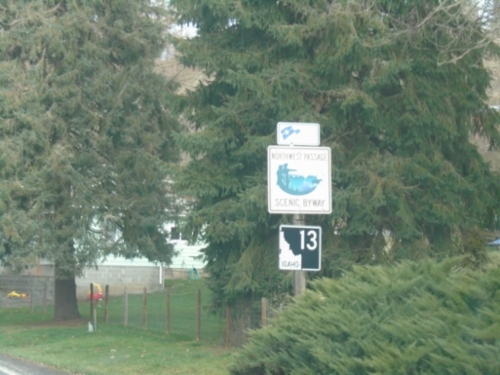
ID-13 - Northwest Passage Scenic Byway in Harpster.

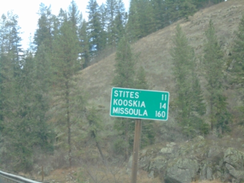
ID-13 North - Distance Marker

ID-13 North - Distance Marker

Distance marker on ID-13 north. Distance to Stites, Kooskia, and Missoula (Montana).
ID-13 North at ID-14

ID-13 North at ID-14

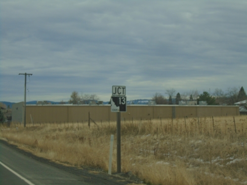
ID-13 North at ID-14 in Idaho County.

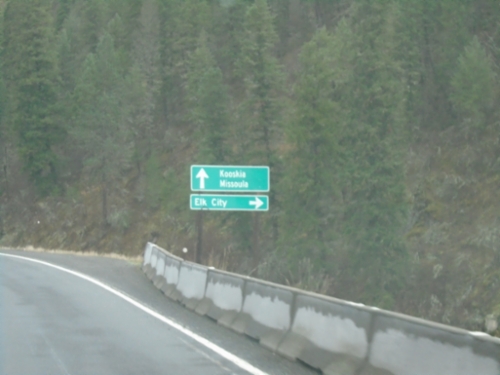
ID-13 North at ID-14

ID-13 North at ID-14

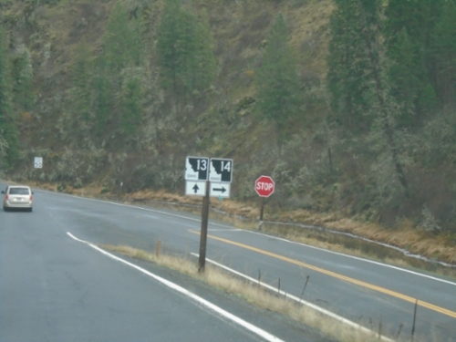
ID-13 North at ID-14 to Elk City. Continue north on ID-13 to Kooskia and Missoula (Montana).
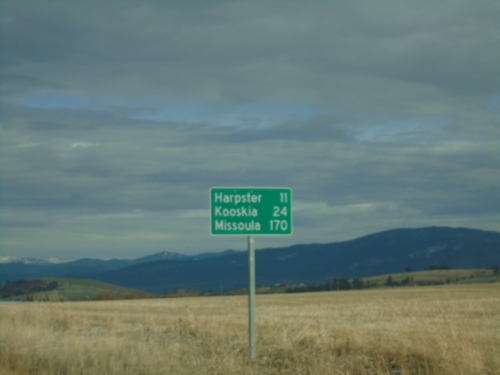
ID-13 North - Distance Marker

ID-13 North - Distance Marker

Distance marker on ID-13 north. Distance to Harpster, Kooskia, and Missoula (Montana).
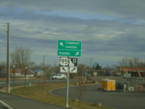
ID-13 - Grangeville

ID-13 - Grangeville

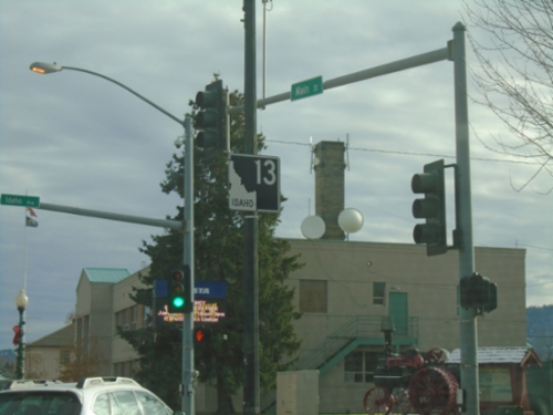
ID-13 North in Grangeville.

US-95 North at ID-13

US-95 North at ID-13

US-95 North at ID-13 in Grangeville. Use ID-13 to Kooskia; continue north on US-95 to Craigmont and Lewiston.
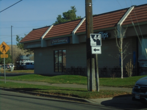
US-95 North Approaching ID-13

US-95 North Approaching ID-13

US-95 North approaching ID-13 in Grangeville.

End ID-55 North at US-95

End ID-55 North at US-95

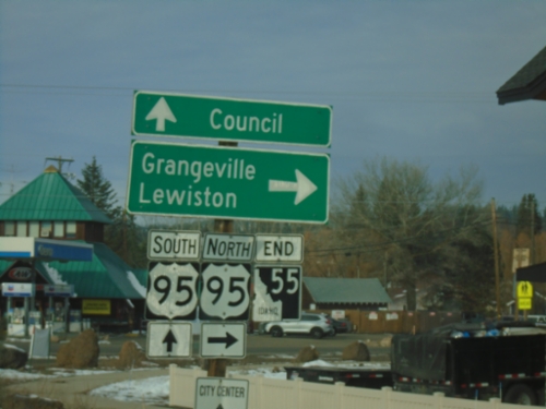
End ID-55 at US-95 south to Council, and north to Grangeville and Lewiston.

ID-44 West - Glenwood St. at State St.

ID-44 West - Glenwood St. at State St.

ID-44 West - Glenwood St. at State Street in Garden City . Turn left on State St. to continue west on ID-44.
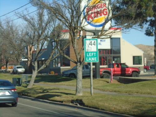
ID-44 West Approaching State St.

ID-44 West Approaching State St.

ID-44 West (Glenwood St.) approaching State St. Use left lanes to continue west on ID-44.
ID-44 West - To ID-55

ID-44 West - To ID-55

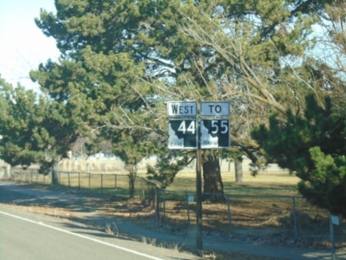
ID-44 west to ID-55 on Glenwood St. North

ID-51 North/ID-78 East - Bruneau

ID-51 North/ID-78 East - Bruneau

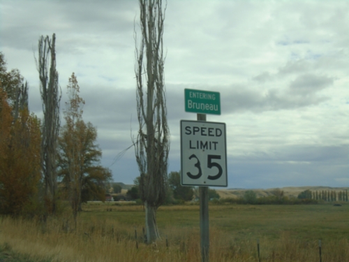
Entering Bruneau on ID-51 North/ID-78 East.

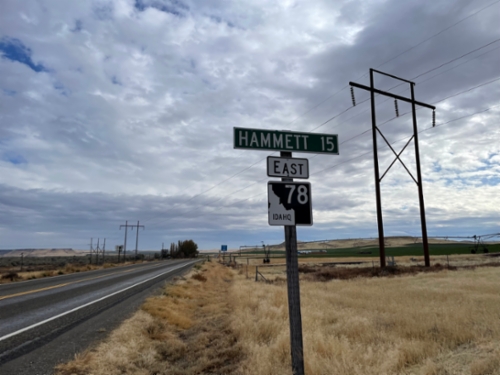
ID-78 East - Distance Marker

ID-78 East - Distance Marker

Distance marker on ID-78 East. Distance to Hammett.

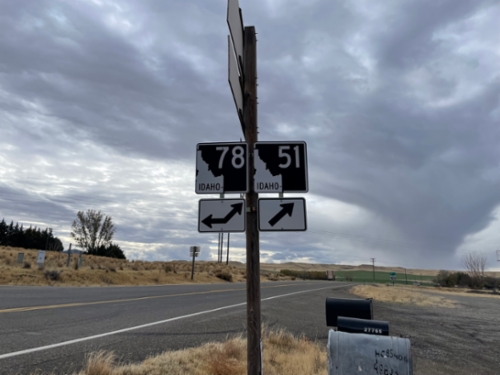
ID-78 West at ID-51

ID-78 West at ID-51

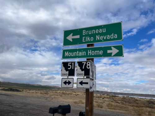
ID-78 west at ID-51. Use ID-51 north for Mountain Home. Use ID-51 South/ID-78 West for Bruneau and Elko, Nevada.
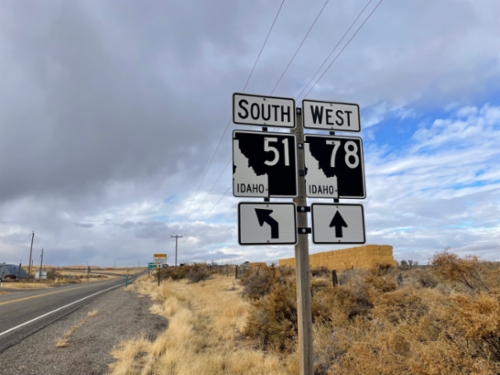
ID-51 South at ID-78

ID-51 South at ID-78

ID-51 south at ID-78. ID-78 joins ID-51 southbound through Bruneau.

ID-78 West/ID-51 South Split

ID-78 West/ID-51 South Split

ID-78 West/ID-51 South split in Owyhee County.

Simco Road South at I-84 East

Simco Road South at I-84 East

Simco Road South at I-84 east (Exit 74)

Vista Ave. North at I-84

Vista Ave. North at I-84

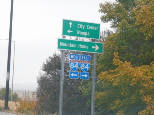
Vista Ave. North at I-84 (Exit 53). Use I-84 East to Mountain Home; I-84 West to Nampa. Continue north on Vista Ave. to (Boise) City Center.

Simco Road North at I-84

Simco Road North at I-84

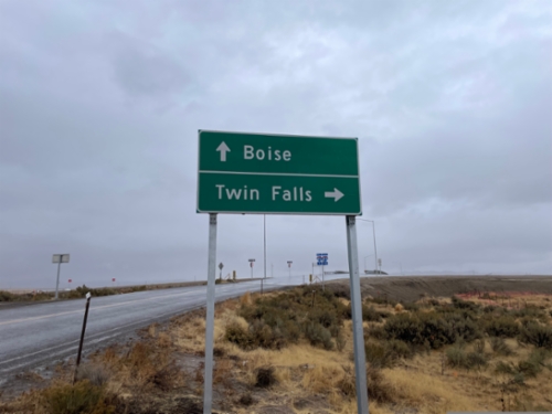
Simco Road North at I-84. Turn right for I-84 east to Twin Falls. Proceed over freeway for I-84 west to Boise.