Signs From June 2026
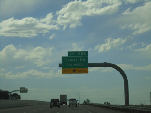
I-70 West - Exit 286
I-70 west approaching Exit 286 - Tower Road.
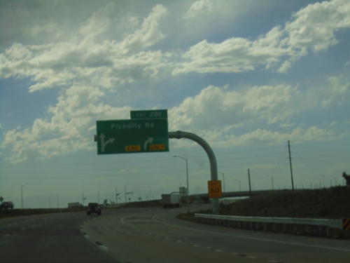
I-70 West - Exit 288
I-70 west at Exit 288 - Picadilly Road.
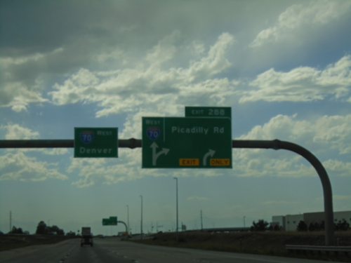
I-70 West - Exit 288
I-70 west approaching Exit 288 - Picadilly Road. This interchange was recently built, replacing the old Colfax Ave. interchange. Continue west on I-70 to Denver.
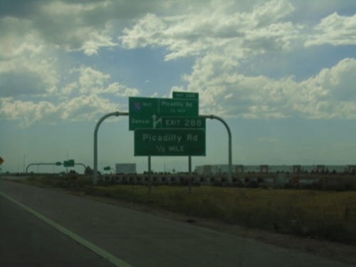
I-70 West - Exit 288
I-70 west approaching Exit 288 - Picadilly Road. This interchange was recently built, replacing the old Colfax Ave. interchange. The onramp on the right side of the photo is traffic from the I-70/E-470 interchange.
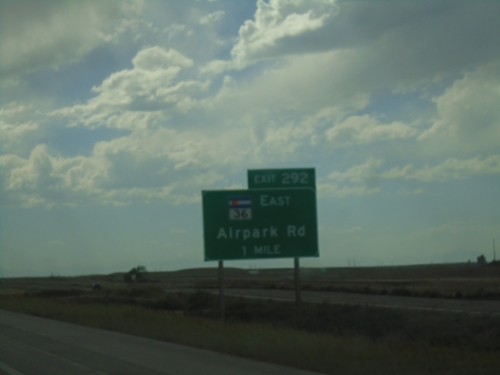
I-70 West - Exit 292
I-70 west approaching Exit 292 - CO-36/Airpark Road
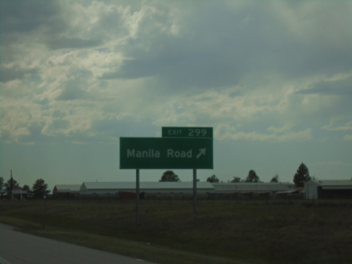
I-70 West - Exit 299
I-70 west at Exit 299 - Manila Road
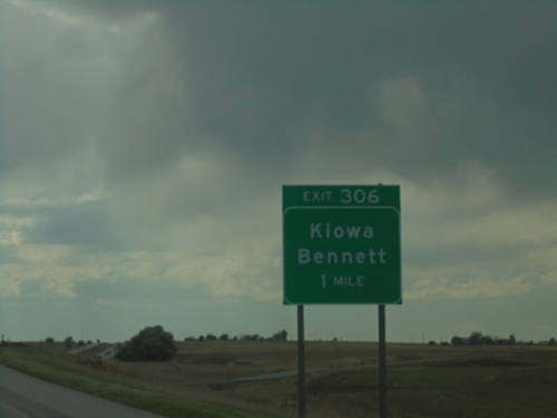
I-70 West - Exit 306
I-70 west approaching Exit 306 - Kiowa/Bennett
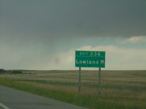
I-70 West - Exit 336
I-70 west at Exit 336 - Lowland
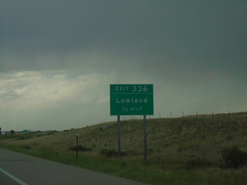
I-70 West - Exit 336
I-70 west approaching Exit 336 - Lowland.
I-70 West - Exit 354
I-70 west approaching Exit 354. Exit 354 does not have any named destinations.
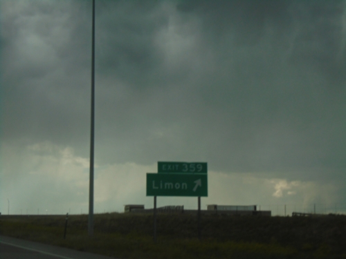
I-70 West - Exit 359
I-70 west at Exit 359 - Limon
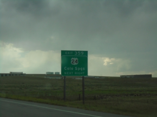
I-70 West - Exit 359
I-70 west approaching Exit 359. Use Exit 359 for US-24 West to Colorado Springs.
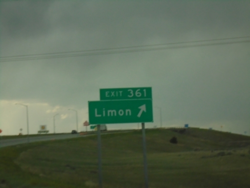
I-70 West - Exit 361
I-70 west at Exit 361 - Limon
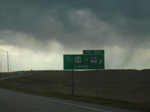
I-70 West - Exit 363
I-70 west at Exit 363 - BL-70/US-24/To CO-71/Limon. US-24 leaves I-70 here westbound.
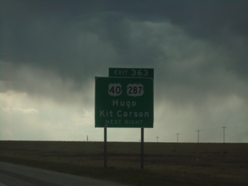
I-70 West - Exit 363
I-70 west approaching Exit 363. Use Exit 363 for US-40/US-287/Hugo/Kit Carson.
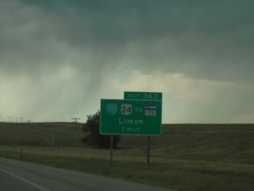
I-70 West - Exit 363
I-70 west approaching Exit 363 - BL-70/US-24/To CO-71/Limon
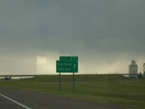
I-70 West - Exit 371
I-70 west at Exit 371 - Genoa/Hugo
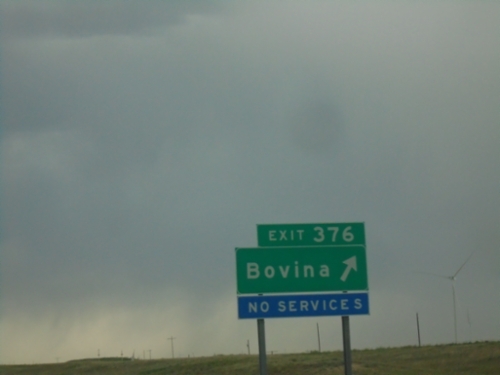
I-70 West - Exit 376
I-70 west at Exit 376 - Bovina.
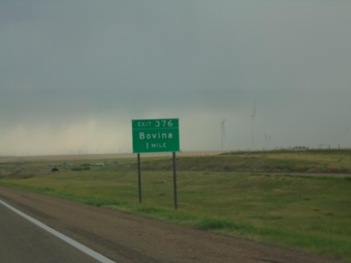
I-70 West - Exit 376
I-70 west approaching Exit 376 - Bovina
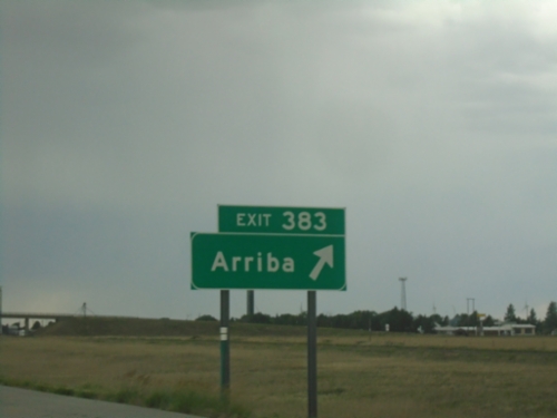
I-70 West - Exit 383
I-70 west at Exit 383 - Arriba
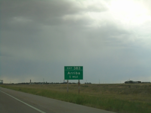
I-70 West - Exit 383
I-70 west approaching Exit 383 - Arriba
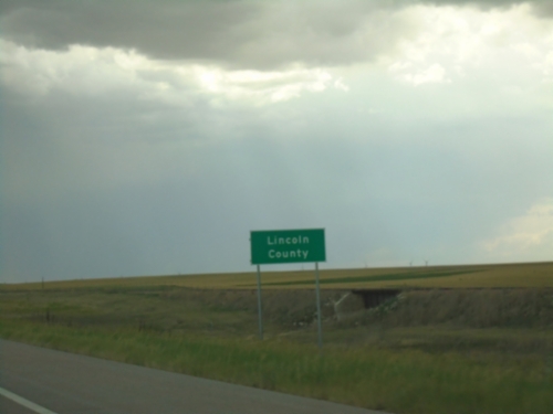
I-70 - Lincoln County
Entering Lincoln County on I-70 west.
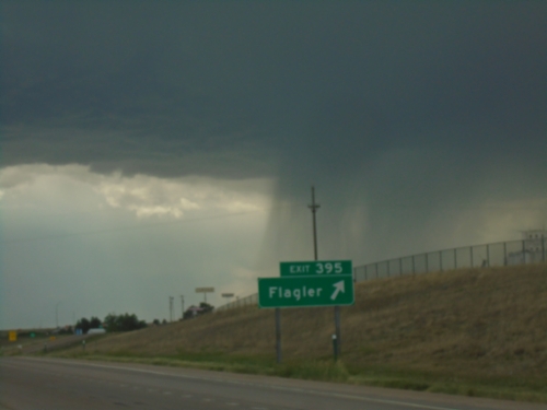
I-70 West - Exit 395
I-70 west at Exit 395 - Flagler. A thunderstorm is in the background of the photograph. This day ended up having Severe Thunderstorms all over eastern Colorado and western Kansas, with most of that area also being under a Tornado Watch.
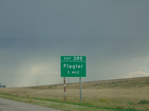
I-70 West - Exit 395
I-70 west approaching Exit 395 - Flagler
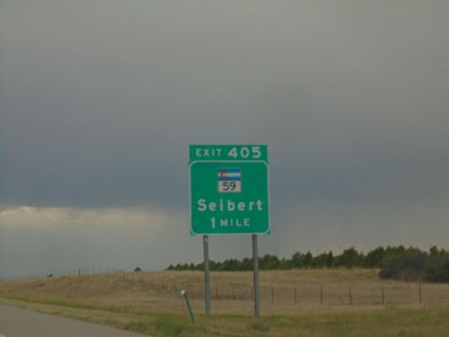
I-70 West - Exit 405
I-70 west approaching Exit 405 - CO-59/Seibert.
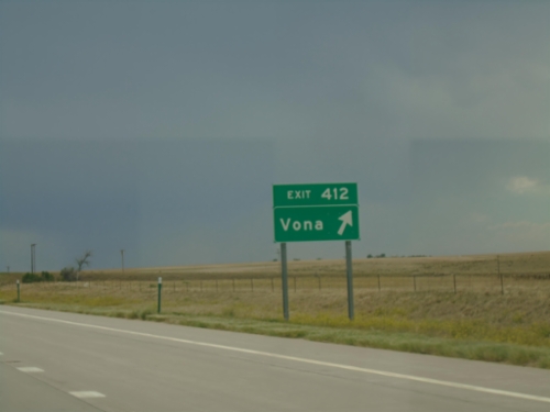
I-70 West - Exit 412
I-70 west at Exit 412 - Vona
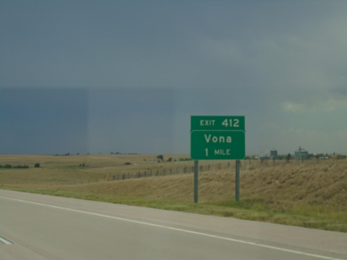
I-70 West - Exit 412
I-70 west approaching Exit 412 - Vona
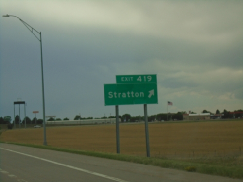
I-70 West - Exit 419
I-70 west at Exit 419 - Stratton.
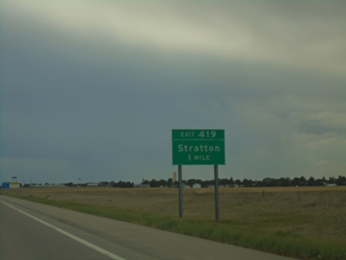
I-70 West - Exit 419
I-70 west approaching Exit 419 - Stratton.
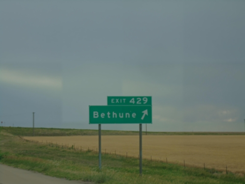
I-70 West - Exit 429
I-70 west at Exit 429 - Bethune.
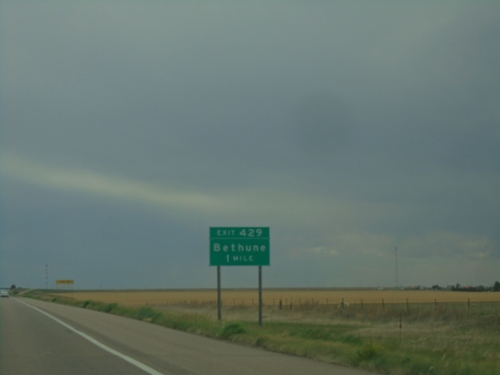
I-70 West - Exit 429
I-70 west approaching Exit 429 - Bethune.
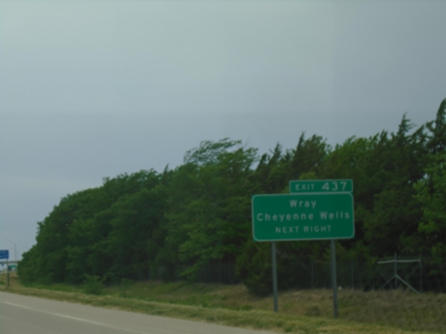
I-70 West - Exit 437
I-70 west approaching Exit 437. Use Exit 437 for Cheyenne Wells and Wray (both via US-385).
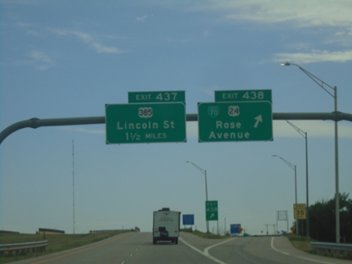
I-70 West - Exits 438 and 437
I-70 west at Exit 438 - BL-70/US-24/Rose Ave. Approaching Exit 437 - US-385/Lincoln St. US-24 west leaves I-70 westbound here in Burlington and rejoins I-70 in Seibert.
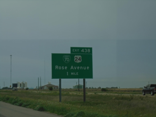
I-70 - Exit 438
I-70 approaching Exit 438 - BL-70/US-24/Rose Ave.
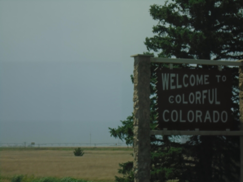
I-70 West - Welcome To Colorado
Welcome to Colorful Colorado on I-70 west. At the Kansas/Colorado State Line.
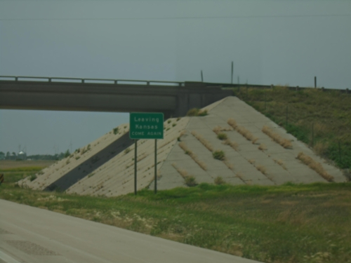
I-70 West - Leaving Kansas
Leaving Kansas - Come Again on I-70 west. At the Kansas/Colorado state line.
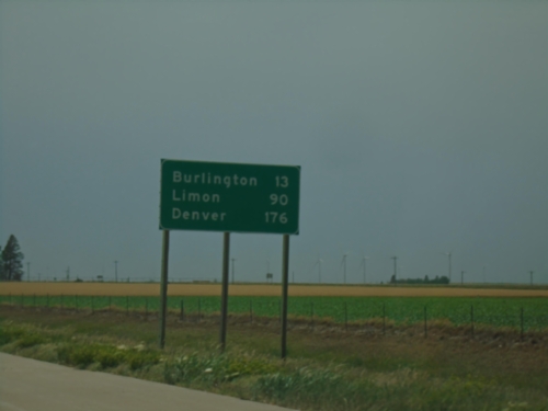
I-70 West - Distance Marker
Last distance marker on I-70 west in Kansas. Distance to Burlington, Limon, and Denver. All destinations on sign are in Colorado.
I-70 West - Speed Limit
Speed Limit 70 MPH / Minimum 40 MPH on I-70 West.
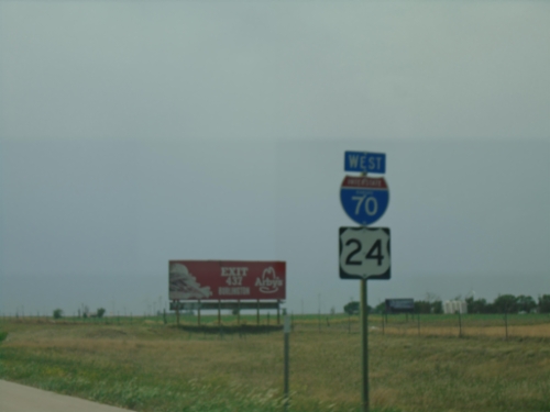
I-70/US-24 West - Sherman County
I-70/US-24 West in Sherman County. This is the last I-70 shield westbound in Kansas.
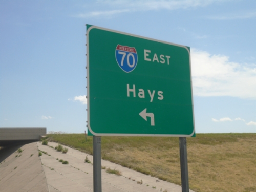
KS-267 South Approaching I-70 East
KS-267 North at I-70/US-24 West to Hays.
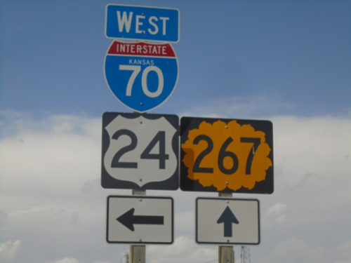
KS-267 North at I-70/US-24 West
KS-267 North at I-70/US-24 West in Sherman County.
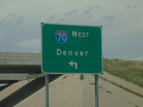
KS-267 North at I-70 West
KS-267 North at I-70 West to Denver (Colorado)
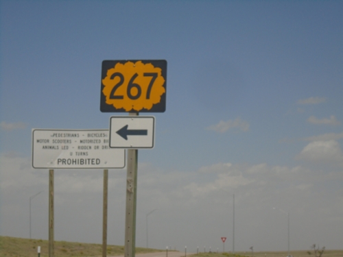
I-70 Exit 1 Offramp at KS-267
I-70 Exit 1 Offramp at KS-267 in Sherman County.
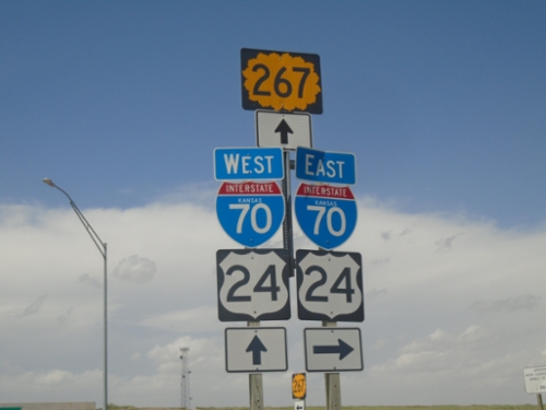
County Road 3 at I-70/US-24 and KS-267
County Road 3 at I-70/US-24 and KS-267. Turn right for I-70 East/US-24 East; continue under freeway for I-70 West/US-24 West and KS-267.
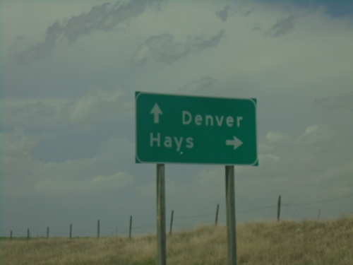
County Road 3 North at I-70/US-24 and KS-267
County Road 3 North at I-70/US-24 and KS-267. Use I-70/US-24 East to Hays; I-70/US-24 West to Denver, Colorado.
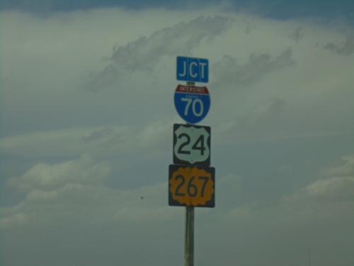
County Road 3 North Approaching I-70 (Exit 1)
County Road 3 North approaching I-70/US-24/KS-267 (Exit 1)
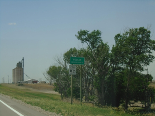
US-40 West - Weskan
Weskan - Unincorporated on US-40 west.
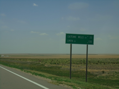
US-40 West - Distance Marker
Distance marker on US-40 west. Distance to Cheyenne Wells, Colorado and Limon, Colorado.
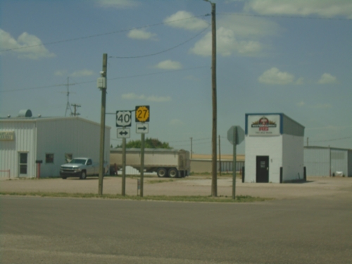
KS-27 North at US-40 - Sharon Springs
KS-27 North at US-40 in Sharon Springs. KS-27 North joins US-40 East through Sharon Springs.
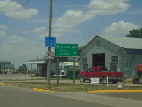
KS-27 North Approaching US-40
KS-27 North Approaching US-40 in Sharon Springs. Use US-40 West to Cheyenne Wells (Colorado); US-40 East to Oakley; KS-27 North to Goodland. KS-27 North joins US-40 East through Sharon Springs.
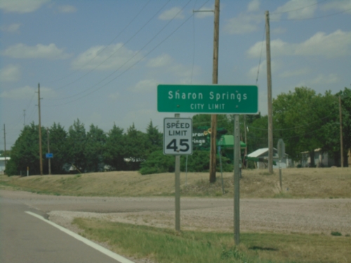
KS-27 North - Sharon Springs
Sharon Springs City Limit on KS-27 North. Sharon Springs is the county seat of Wallace County.
KS-27 North - Wallace County
Wallace County Line on KS-27 North.
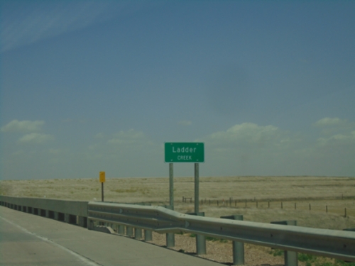
KS-27 North - Ladder Creek
Ladder Creek on KS-27 North. Ladder Creek is a tributary of the Smoky Hill River.
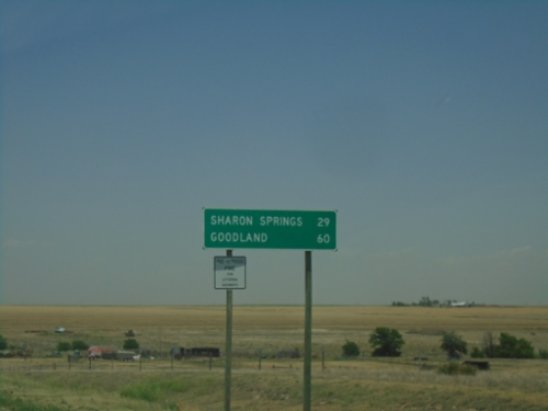
KS-27 North - Distance Marker
Distance marker on KS-27 North. Distance to Sharon Springs and Goodland.
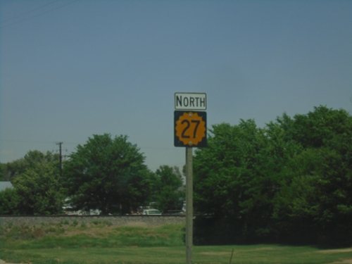
KS-27 North - Tribune
KS-27 north in Tribune.
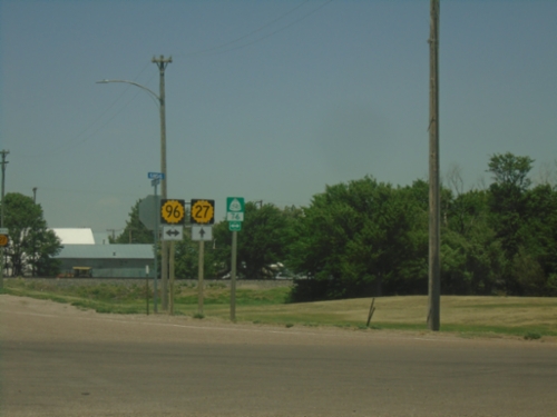
KS-27 North at KS-96
KS-27 North at KS-96 in Tribune. US Bicycle Route 76 follows KS-96.
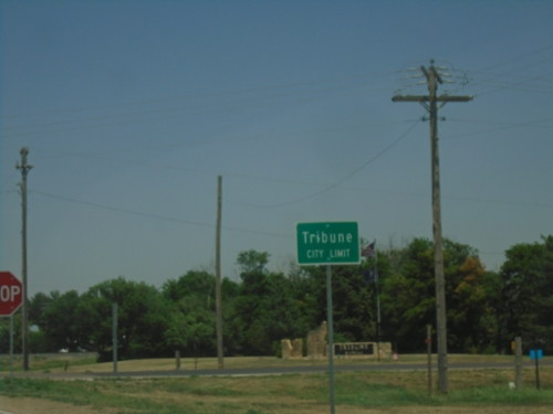
KS-27 North - Tribune
Tribune City Limit on KS-27 North.
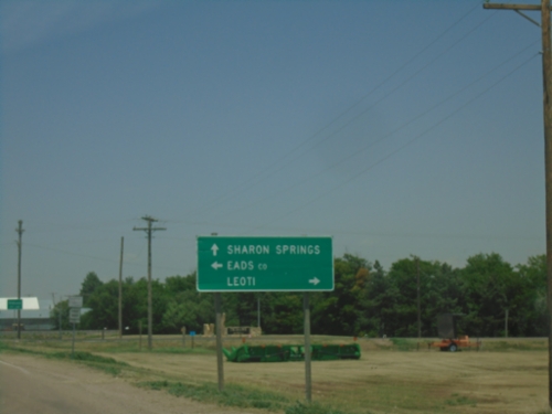
KS-27 North Approaching KS-96
KS-27 North approaching KS-96 in Tribune. Use KS-96 West to Eads, Colorado; KS-96 East to Leoti. Continue north on KS-27 for Sharon Springs.
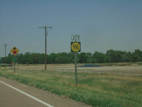
KS-27 North Approaching KS-96
KS-27 North approaching KS-96 in Tribune.
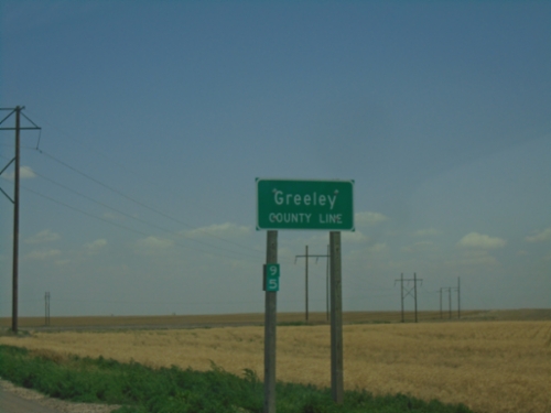
KS-27 North - Greeley County
Greeley County Line on KS-27 North. Milemarker 95.
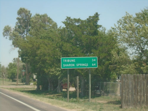
KS-27 North - Distance Marker
Distance marker on KS-27 North. Distance to Tribune and Sharon Springs.
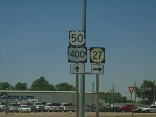
US-50/US-400 East/KS-27 North at KS-27 North
US-50/US-400 East/KS-27 North at KS-27 North in Syracuse.
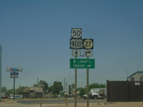
US-50/US-400 West/KS-27 North at KS-27 North
US-50/US-400 West/KS-27 North at KS-27 North in Syracuse. Turn right on KS-27 North to Tribune; continue west on US-50/US-400 for Lamar, Colorado.
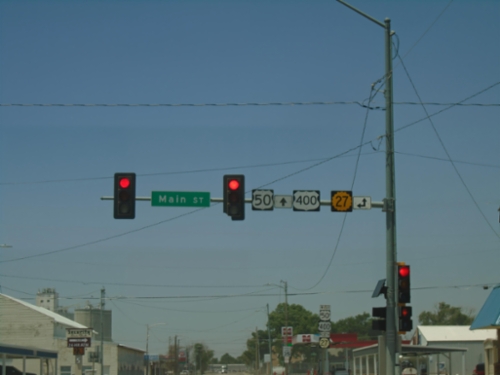
US-50/US-400 West at KS-27
US-50/US-400 West at KS-27 (Main St.) in Syracuse.
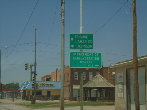
US-50/US-400 West at KS-27
US-50/US-400 West (Ave. A) at KS-27 (Main Street) in Syracuse. Use KS-27 South to Johnson City. Continue west on US-50/US-400/KS-27 North to Lamar, Colorado (via US-50/US-400) and Tribune (via KS-27). Turn right on Main Street for the Department of Transportation area Headquarters.
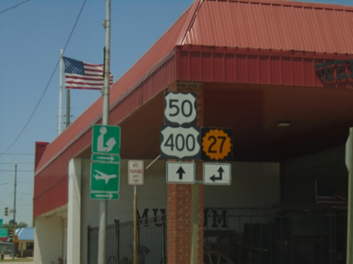
US-50/US-400 West at KS-27
US-50/US-400 West (Ave. A) at KS-27 (Main St.) in Syracuse.
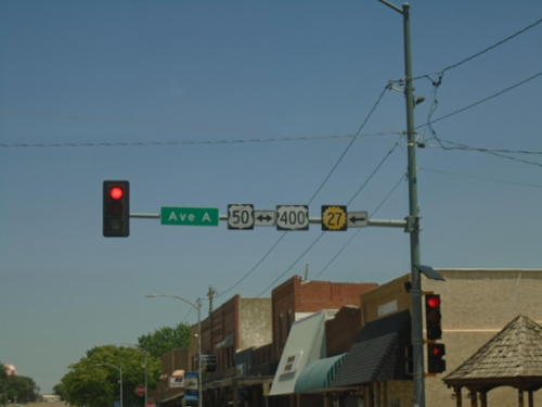
KS-27 North at US-50/US-400
KS-27 North at US-50/US-400 (Ave. A) in Syracuse. Turn left to continue north on KS-27.
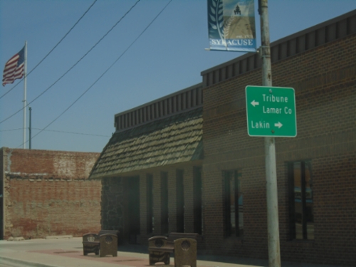
KS-27 North at US-50/US-400
KS-27 North at US-50/US-400 in Syracuse. Use US-50/US-400 East to Lakin. Use US-50/US-400 West to Lamar, Colorado and KS-27 North to Tribune.
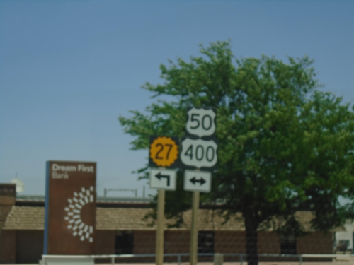
KS-27 North at US-50/US-400
KS-27 North at US-50/US-400 in Syracuse. KS-27 North joins US-50/US-500 West through Syracuse.
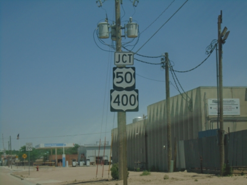
KS-27 North approaching US-50/US-400
KS-27 North Approaching US-50/US-400 in Syracuse.
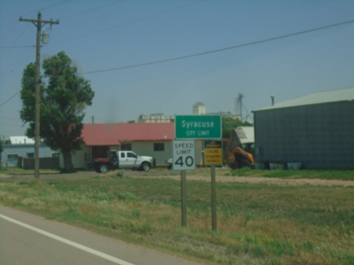
KS-27 North - Syracuse
Syracuse City Limit on KS-27 North. Syracuse is the county seat of Hamilton County.
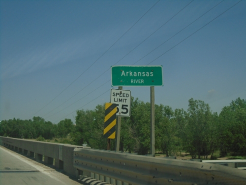
KS-27 North - Arkansas River
Arkansas River bridge on KS-27 North.
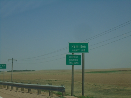
KS-27 North - Hamilton County Line / Mountain Time Zone
Hamilton County Line / Entering Mountain Time Zone on KS-27 North. Four counties in western Kansas are on Mountain Time Zone, the rest of the counties in Kansas are on Central Time Zone.
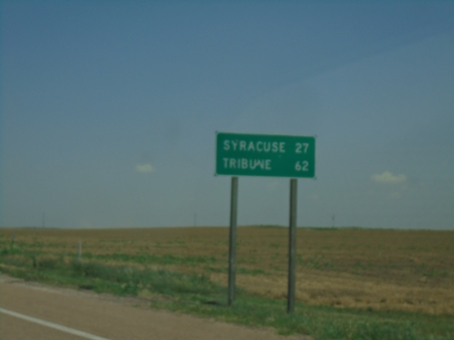
KS-27 North - Distance Marker
Distance marker on KS-27 north. Distance to Syracuse and Tribune.
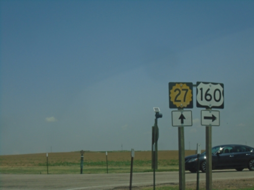
US-160 East/KS-27 North at US-160 East
US-160 East/KS-27 North at US-160 East in Johnson City.
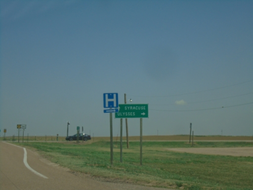
US-160 East/KS-27 North Split in Johnson City
US-160 East/KS-27 North split in Johnson City. Use KS-27 North to Syracuse; use US-160 West to Ulysses.
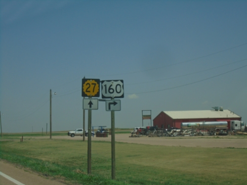
US-160 East/KS-27 North at US-160 East
US-160 East/KS-27 North at US-160 East in Johnson City.
US-160 East/KS-27 North - Johnson City
Johnson City Urban Boundary on US-160 East/KS-27 North.
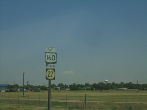
US-160 East/KS-27 North - Johnson City
US-160 East/KS-27 North in Johnson City
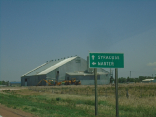
KS-27 North at US-160
KS-27 North at US-160 in Johnson City. Use US-160 West to Manter; continue on KS-27 North/US-160 East to Syracuse.
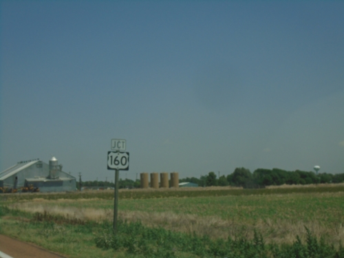
KS-27 North Approaching US-160
KS-27 North approaching US-160 in Johnson City. KS-27 North joins US-160 East through Johnson City.
KS-27 North - Stanton County
Stanton County Line on KS-27 North.
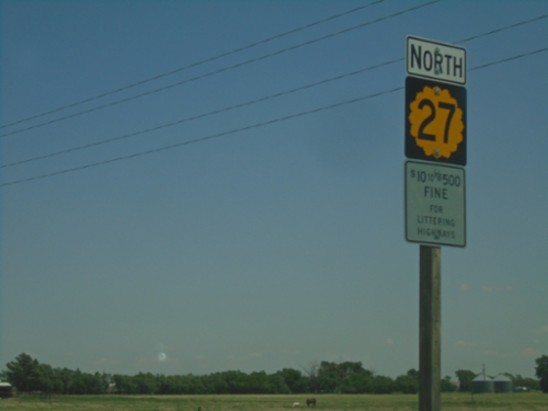
KS-27 North - Richfield
KS-27 North in Richfield. $10 to $500 Fine for Littering Highways.
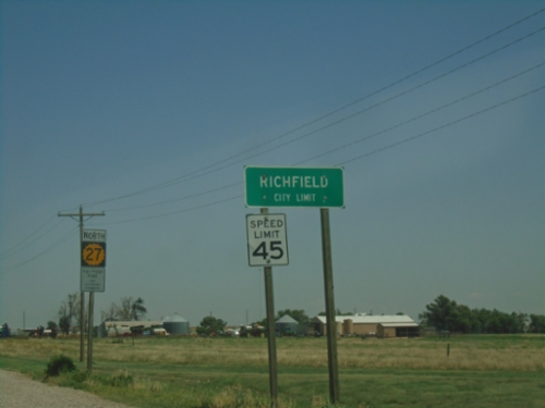
KS-27 North - Richfield
Richfield City Limit on KS-27 North.
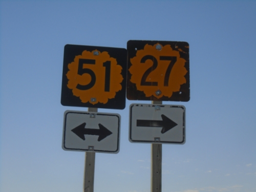
KS-27 South at KS-51
KS-27 South at KS-51 in Richfield. KS-51 West joins KS-27 southbound.
KS-27 North/KS-51 East at KS-27/KS-51 Split
KS-27 North/KS-51 East at KS-27/KS-51 split. Use KS-27 North to Johnson City; KS-51 East to Hugoton.
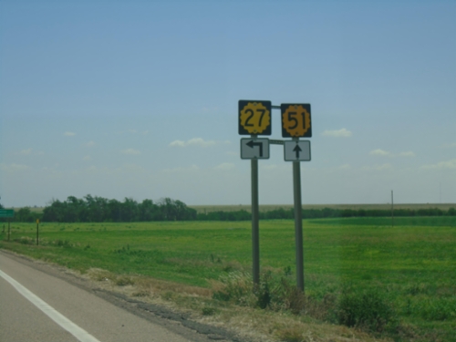
KS-27 North/KS-51 East Approaching KS-27/KS-51 Split
KS-27 North/KS-51 East approaching KS-27/KS-51 split in Richfield.
KS-27 North/KS-51 East - Distance Marker
Distance Marker on KS-27 North/KS-51 East. Distance to Richfield and Johnson City.
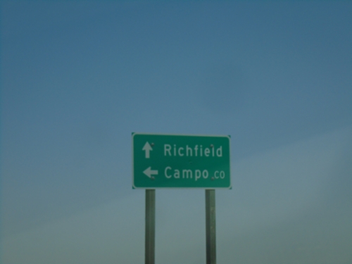
KS-21 North at KS-51
KS-27 North at KS-51 in Morton County. Use KS-51 West to Campo, Colorado. Continue on KS-27 North/KS-51 East to Richfield.
KS-27 North Approaching KS-51
KS-27 North approaching KS-51 in Morton County.
KS-27 North - Cimarron River
Cimarron River bridge on KS-27 North.
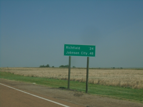
KS-27 North - Distance Marker
Distance marker on KS-27 north. Distance to Richfield and Johnson City.
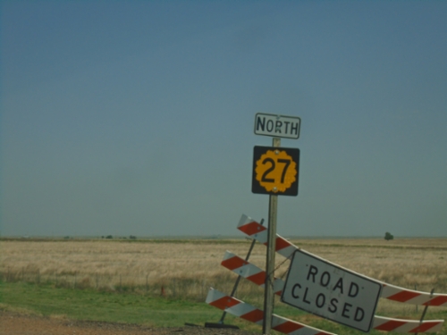
KS-27 North - Morton County
KS-27 North in Morton County
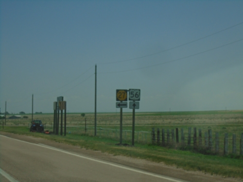
US-56 East at KS-27
US-56 East at KS-27 North in Morton County.
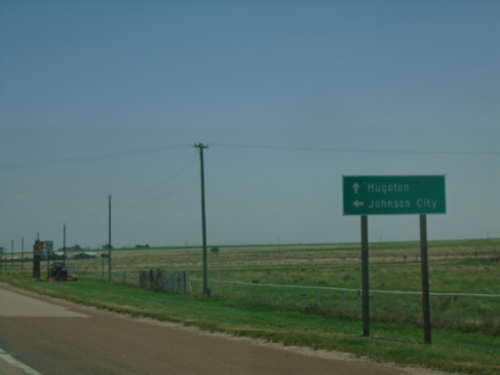
US-56 East at KS-27
US-56 East at KS-27 in Morton County. Turn left for KS-27 North to Johnson City; continue east on US-56 for Hugoton.
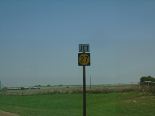
US-56 East Approaching KS-27
US-56 East approaching KS-27 in Morton County.
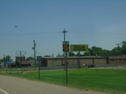
US-56 East - To KS-27
To KS-27 on US-56 East in Elkhart.
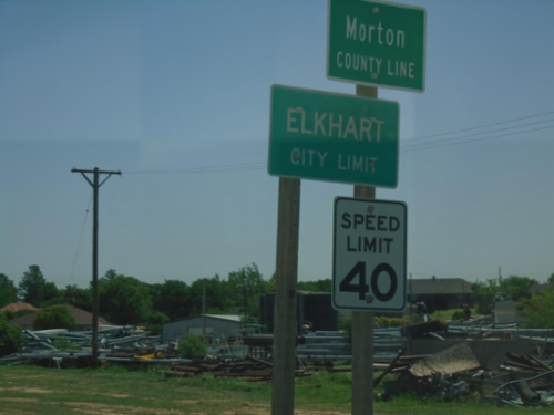
US-56 East - Entering Kansas
US-56 East - Morton County Line / Elkhart City Limit at the Oklahoma/Kansas State Line.
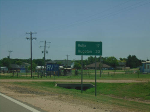
US-56 East - Distance Marker
Distance marker on US-56 east. This is the last distance marker in Oklahoma on US-56. Distance to Rolla and Hugoton (both destinations in Kansas).
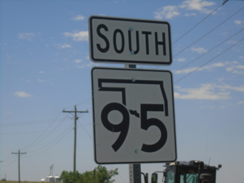
OK-95 South - Texas County
OK-95 south in Texas County.
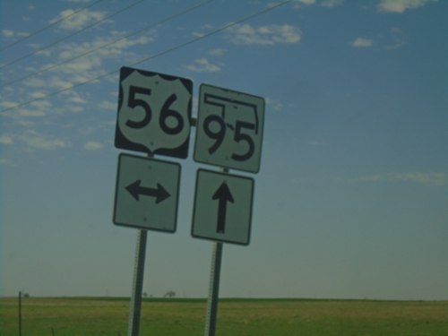
County Road South at US-56/OK-95
County Road South at US-56/OK-95 in Texas County.
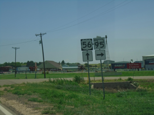
US-56 East at OK-95 South
US-56 East at OK-95 South in Texas County.
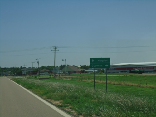
US-56 East Approaching OK-95
US-56 East approaching OK-95. Use OK-95 south to Guymon; continue east on US-56 to Hugoton, KS.
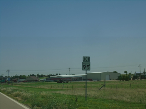
US-56 East Approaching OK-95
US-56 East approaching OK-95 South in Texas County.
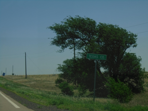
US-56 East - Texas County
Texas County, Oklahoma on US-56 east.
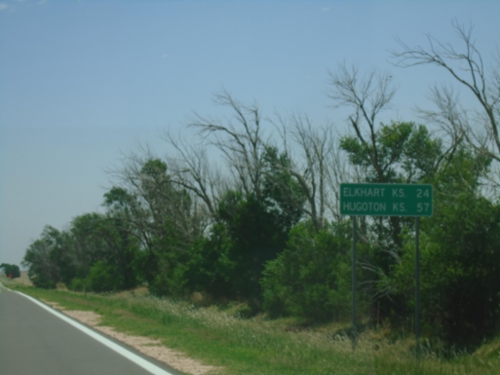
US-56 East - Distance Marker
Distance marker on US-56 east. Distance to Elkhart, KS and Hugoton, KS.
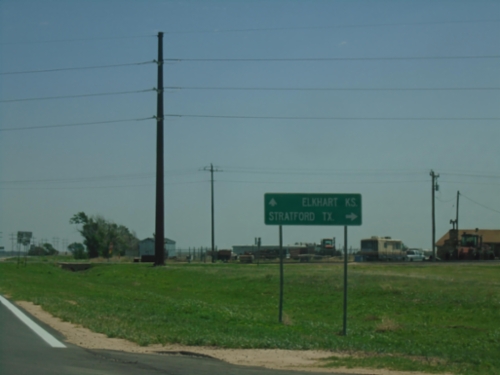
US-56 East at OK-171 South
US-56 East at OK-171 South to Stratford, Texas. Continue east on US-56 to Elkhart, Kansas.
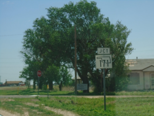
US-56 East Approaching OK-171
US-56 East approaching OK-171 in Keyes.
US-56 East - Keyes
Entering Keyes on US-56 East.
US-56 East - Distance Marker
Distance marker on US-56 East. Distance to Keyes and Elkhart, Kansas.
US-56 East - Cimarron County
US-56 east in Cimarron County
US-64/US-412/OK-3 East - Cimarron County
US-64/US-412/OK-3 East in Cimarron County
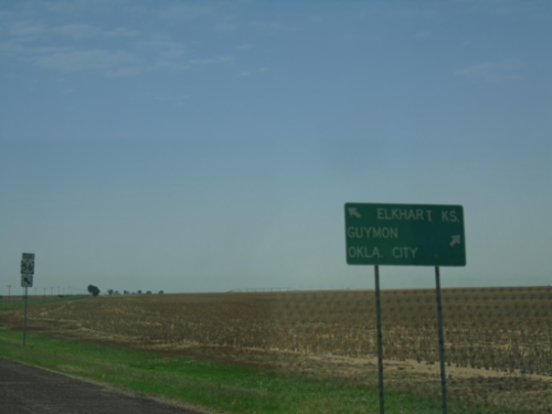
US-56/US-64/US-412/OK-3 East at US-56 East
US-56/US-64/US-412/OK-3 East at US-56 East in Cimarron County. Use US-56 East for Elkhart, Kansas; use US-64/US-412/OK-3 East for Guymon and Oklahoma City.
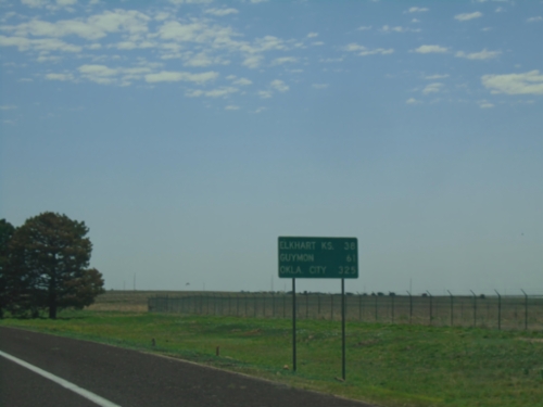
US-56/US-64/US-412/OK-3 East - Distance Marker
Distance Marker on US-56/US-64/US-412/OK-3 East. Distance to Elkhart, KS (via US-56), Guymon, and Oklahoma City.
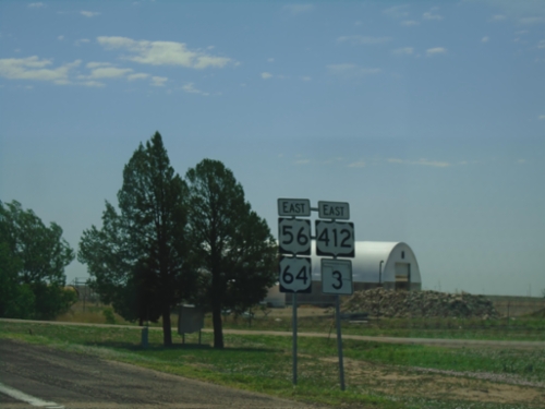
US-56/US-64/US-412/OK-3 East - Boise City
US-56/US-64/US-412/OK-3 East in Boise City
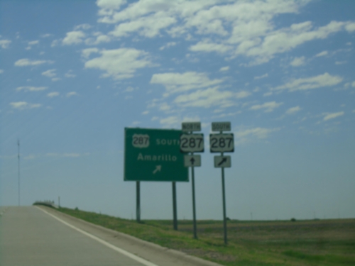
US-56/US-64/US-412/OK-3 East at US-287 South
US-56/US-64/US-412/OK-3 East at US-287 South to Amarillo, Texas.
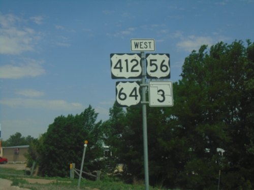
US-56/US-64/US-412/OK-3 West - Boise City
US-56/US-64/US-412/OK-3 West in Boise City
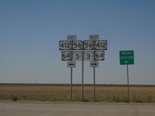
US-287 South/OK-3 East Offramp at US-56/US-64/US-412
US-287 South/OK-3 East Offramp at US-56/US-64/US-412 in Boise City. Turn left for US-56/US-64/US-412/OK-3 East; turn right for US-56/US-64/US-412/OK-3 West.
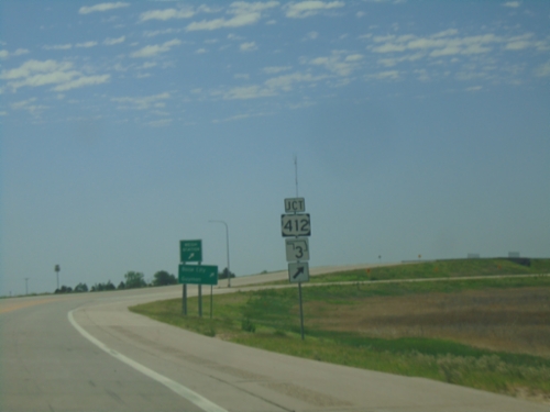
US-287 South/OK-3 East at US-56/US-64/US-412
US-287 South/OK-3 East at US-56/US-64/US-412 interchange. Exit for US-412/OK-3 (in addition to US-56/US-64).
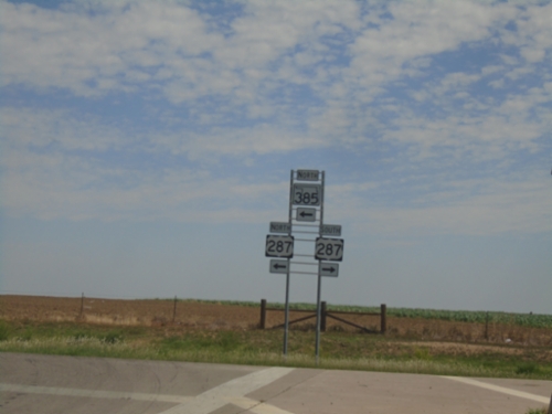
US-385 North/OK-3 West at US-287
US-385 North/OK-3 West at US-287 in Boise City. Turn left to continue north on US-385/OK-3 which joins US-287 into Colorado. The US-385 shield is incorrectly shown as OK-385.
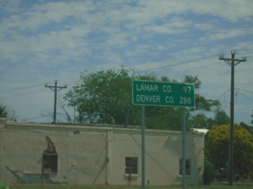
US-385 North/OK-3 West - Distance Marker
Distance Marker on US-385 North/OK-3 West. Distance to Lamar, Colorado and Denver, Colorado.
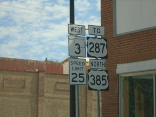
OK-3 West/US-385 North/To US-287 - Boise City
OK-3 West/US-385 North/To US-287 on N. Cimarron Ave. in Boise City. Speed Limit 25.
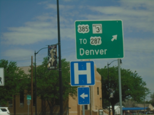
Boise City Roundabout - North Exit
Boise City Roundabout - Junction of US-56/US-64/US-385/US-412/OK-3/OK-325 at north exit of roundabout. Exit roundabout for US-385 North/OK-3 West/To US-287/Denver (Colorado). The center of the roundabout is the Cimarron County Courthouse.
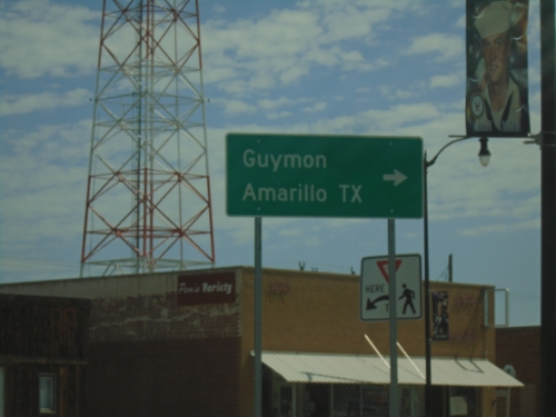
US-56/US-64/US-412 East/US-385 North at OK-3/OK-325
US-56/US-64/US-412 East/US-385 North at OK-3/OK-325 in downtown Boise City. Turn right for US-56/US-64/US-412/OK-3 East to Guymon and Amarillo, Texas.
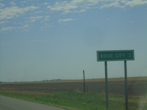
US-56/US-64/US-412 East/US-385 North - Distance Marker
Distance marker on US-56/US-64/US-412 East/US-385 North. Distance to Boise City.
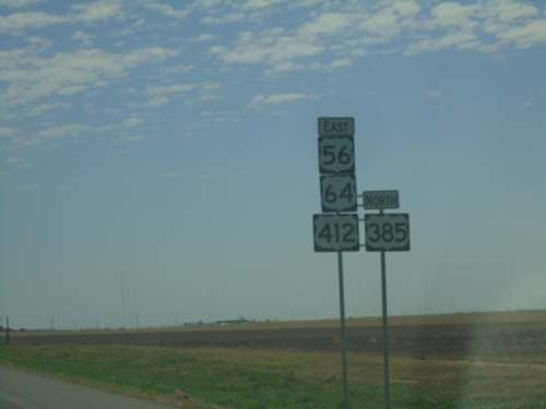
US-56/US-64/US-412 East/US-385 North
US-56/US-64/US-412 East/US-385 North in Cimarron County.
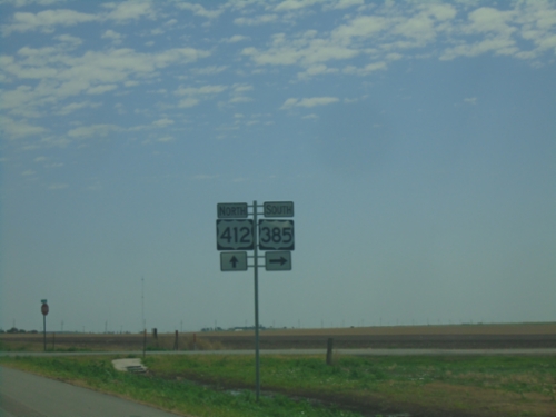
US-56/US-64/US-412 East at US-385
US-56/US-64/US-412 East at US-385 in Cimarron County. Turn right for US-385 South. US-385 North joins US-56/US-64/US-412 East. Only US-412 is shown as the current highway.
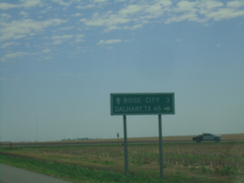
US-56/US-64/US-412 East Approaching US-385
US-56/US-64/US-412 East approaching US-385 south to Dalhart, Texas. Continue on US-56/US-64/US-412 East to Boise City.
US-56/US-64/US-412 East - Distance Marker
Distance Marker on US-56/US-64/US-412 East. Distance to Boise City and Guymon.
US-56/US-64/US-412 East - Felt
US-56/US-64/US-412 East in Felt
US-56/US-64/US-412 East at NS-13 Road
US-56/US-64/US-412 East at NS-13 Road. Use NS-13 Road North to Kenton. Continue on US-56/US-64/US-412 East to Boise City.
US-56/US-64/(US-412) East - Cimarron County
US-56/US-64 East in Cimarron County. US-412 is missing from the sign assembly.
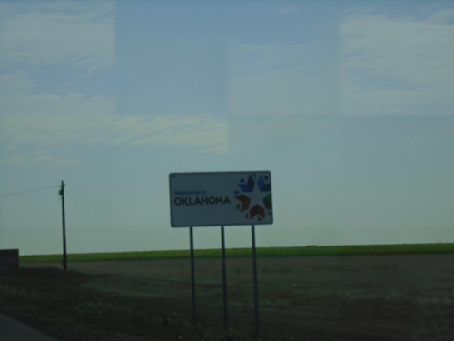
US-56/US-64/US-412 East - Oklahoma
Welcome to Oklahoma on US-56/US-64/US-412 East.
US-56/US-64/US-412 East - Cimarron County
Cimarron County on US-56/US-64/US-412 East. Taken at the New Mexico-Oklahoma State Line.
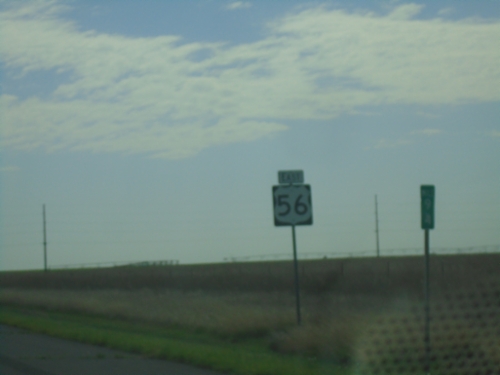
US-56/(US-64)/(US-412) East - Union County
US-56 East - Union County. US-64 and US-412 are omitted from this shield assembly.
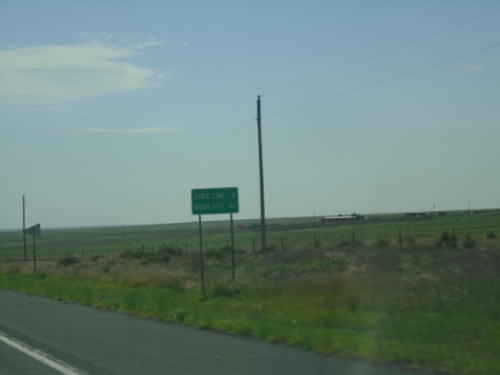
US-56/US-64/US-412 East - Distance Marker
Distance Marker on US-56/US-64/US-412 East. Distance to (Oklahoma) State Line and Boise City (Oklahoma).
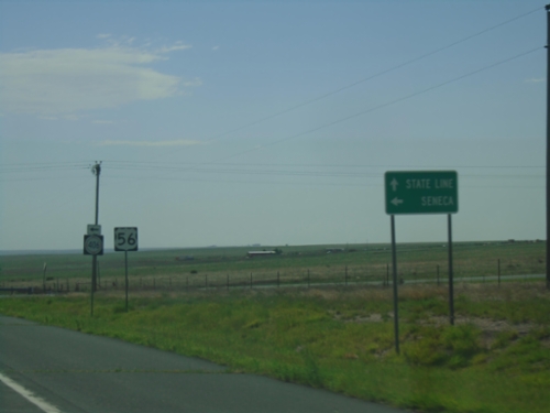
US-56/US-64/US-412 East at NM-406
US-56/US-64/US-412 East approaching NM-406 in Union County. Use NM-406 North to Seneca; continue on US-56/US-64/US-412 East to (Oklahoma) State Line. Only US-56 is shown for the current highway.
US-56/US-64/US-412 East - Distance Marker
Distance Marker on US-56/US-64/US-412 East. Distance to NM-406 and (Oklahoma) State Line
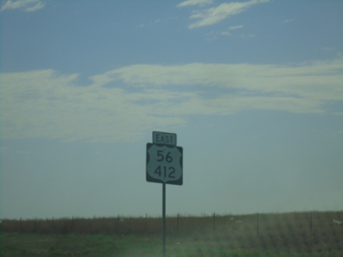
US-56/(US-64)/US-412 East - Union County
US-56/US-412 shield in Union County. This stretch of highway also carries US-64 which is omitted from this shield. There are several instances of this shield along US-56/US-412 in New Mexico.
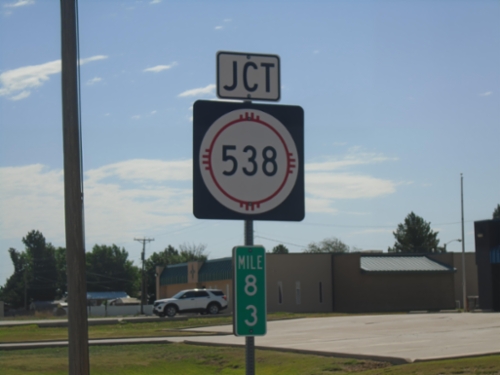
US-56/US-64/US-412 East at NM-538
US-56/US-64/US-412 East at NM-538 in Clayton. Mile 83.
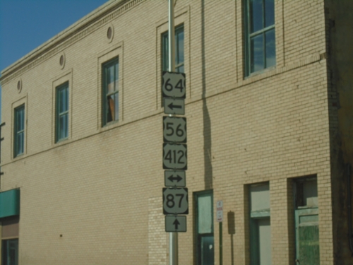
US-64 East/US-87 South at US-56/US-412
US-64 East/US-87 South at US-56/US-412 in Clayton. US-64 and US-87 split here - turn left for US-64 East - continue straight for US-87 South.
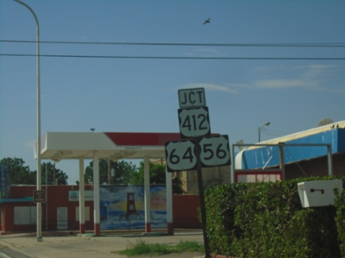
US-64 East/US-87 South at US-56/US-412
US-64 East/US-87 South at US-56/US-412. Turn left to continue east on US-64, which joins US-56/US-412. Continue straight to continue south on US-87.
US-64 East/US-87 South Approaching NM-370
US-64 East/US-87 South approaching NM-370 in Clayton.
US-64 East/US-87 South - Distance Marker
Distance marker on US-64 East/US-87 South. Distance to Clayton and Boise City (Oklahoma).
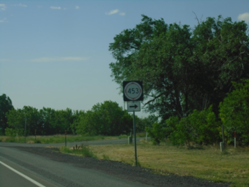
US-64 East/US-87 South at NM-453
US-64 East/US-87 South at NM-453 in Grenville.
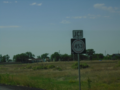
US-64 East/US-87 South Approaching NM-453
US-64 East/US-87 South approaching NM-453 in Grenville.
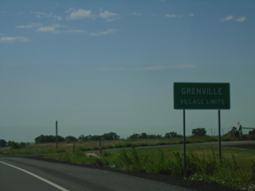
US-64 East/US-87 South - Grenville
Grenville Village Limit on US-64 East/US-87 South.
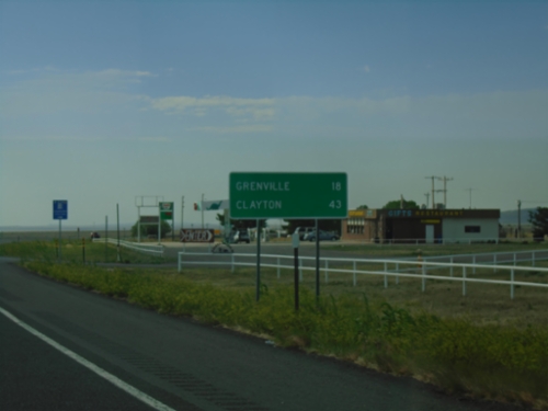
US-64 East/US-87 South - Distance Marker
Distance marker on US-64 East/US-87 South. Distance to Grenville and Clayton.
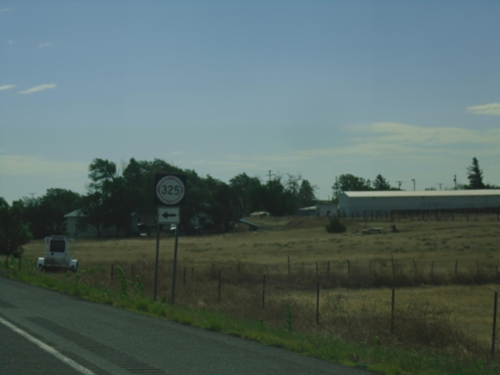
US-64 East/US-87 South at NM-325
US-64 East/US-87 South at NM-325 in Des Moines.
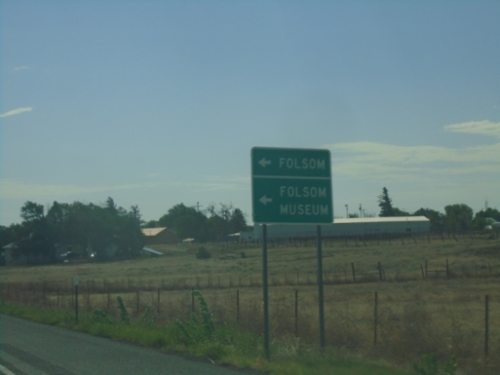
US-64 East/US-87 South at NM-325
US-64 East/US-87 South at NM-325 to Folsom and Folsom Museum.
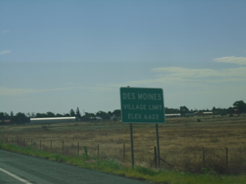
US-64 East/US-87 South - Des Moines
Des Moines Village Limit - Elevation 6622 on US-64 East/US-87 South.
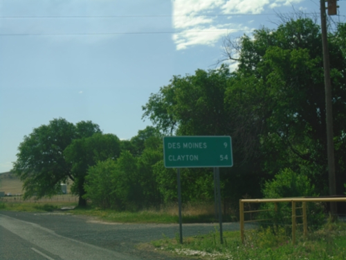
US-64 East/US-87 South - Distance Marker
Distance Marker on US-64 East/US-87 South. Distance to Des Moines and Clayton.
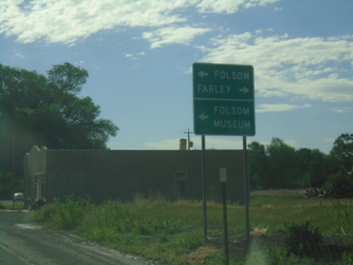
US-64/US-87 East Approaching NM-325
US-64/US-87 East approaching NM-325 north to Folsom and Folsom Museum (in Folsom). Turn right for the county road to Farley.
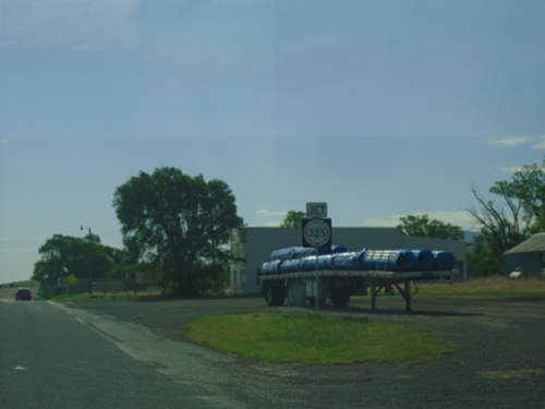
US-64/US-87 East Approaching NM-325
US-64/US-87 East approaching NM-325 in Capulin.
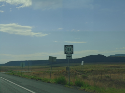
US-64 East/US-87 South at NM-193
US-64 East/US-87 South at NM-193 in Colfax County.
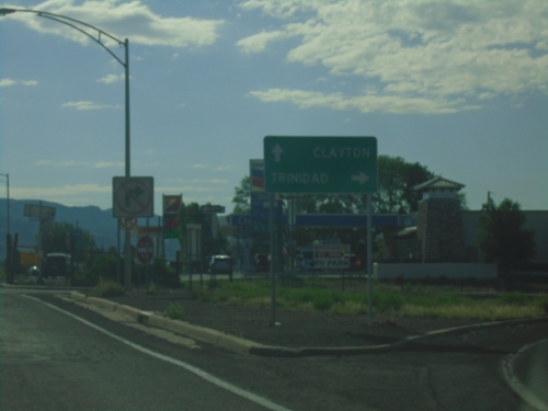
US-64 East/US-87 South at I-25 North
US-64 East/US-87 South at I-25 North (Exit 451) to Trinidad (Colorado). Continue on US-64 East/US-87 South to Clayton.
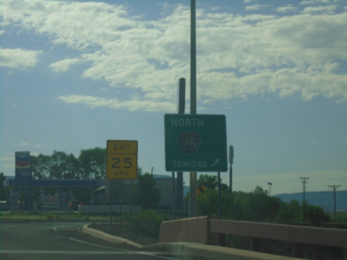
US-64 East/US-87 South at I-25 North
US-64 East/US-87 South at I-25 north to Trinidad (Colorado).
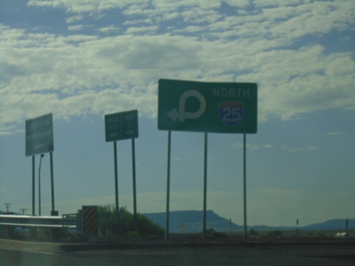
US-64 East at I-25 (Exit 451)
US-64 East at I-25 (Exit 451) in Raton. Use right lane for I-25 North.
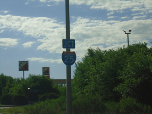
US-64 East Approaching I-25
US-64 East approaching I-25 (Exit 451) in Raton.
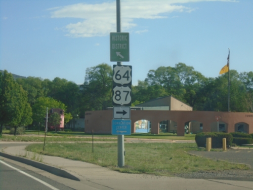
BL-25 North/US-64 East at US-64 East
BL-25 North/US-64 East (2nd St.) at US-64 East (Clayton Road) (To)US-87 in Raton.
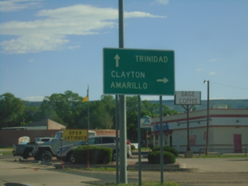
BL-25 North/US-64 East at US-64
BL-25 North/US-64 East (2nd St.) at US-64 (Clayton Road) junction. Turn right to continue east on US-64 to Clayton and Amarillo (Texas). Continue north on BL-25 to Trinidad (Colorado).
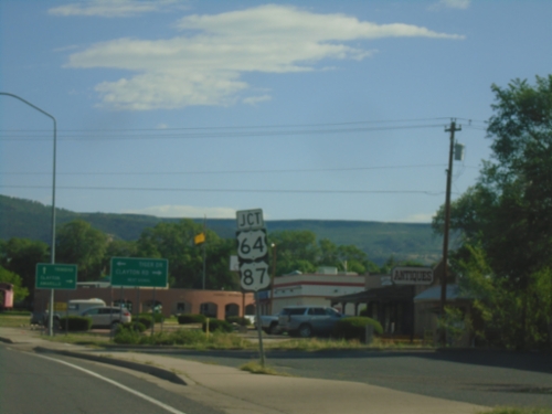
BL-25 North (2nd St.) Approaching US-64/(To)US-87
BL-25 North (2nd St.) Approaching US-64/(To)US-87 (Clayton Road) in Raton.
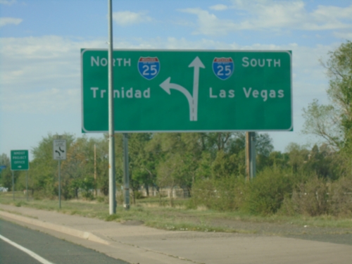
BL-25 South/US-64 West Approaching I-25
BL-25 South/US-64 West (2nd St.) approaching I-25 in Raton. Use I-25 south to Las Vegas; I-25 north to Trinidad (Colorado).
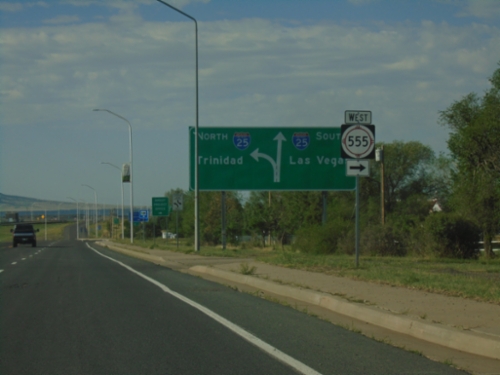
BL-25 South/US-64 West at NM-555 / Approaching I-25
BL-25 South/US-64 West (2nd St.) at NM-555 West. Approaching I-25 South to Las Vegas and North to Trinidad (Colorado).
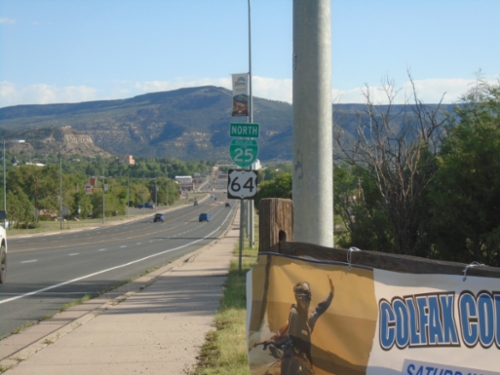
BL-25 North/US-64 East - Raton
BL-25 North/US-64 East (2nd St.) in Raton
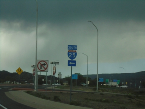
BL-25 North/US-64 East at I-25 South
BL-25 North/US-64 East (2nd St.) at I-25 South
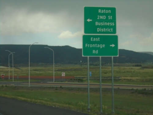
I-25 North - Exit 450 Offramp
I-25 North on Exit 450 Offramp. Turn left for BL-25 North/US-64 East to Raton/2nd St./Business District. Turn right for East Frontage Road.
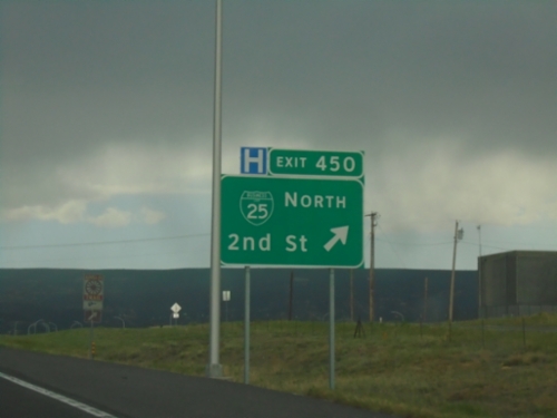
I-25 North - Exit 450
I-25 north at Exit 450 - BL-25 North/2nd St. US-64 East leaves I-25 here.
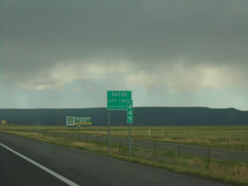
I-25 North - Entering Raton
Raton City Limit - Elevation 6279 Feet on I-25 North. Mile 449.
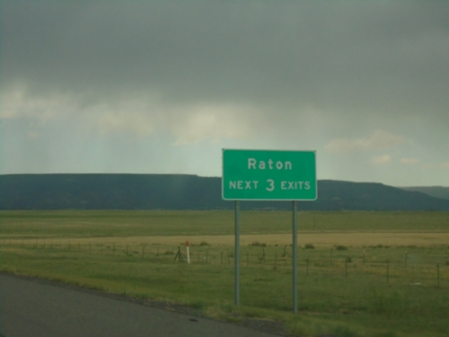
I-25 North - Raton
Raton Next 3 Exits on I-25 North.
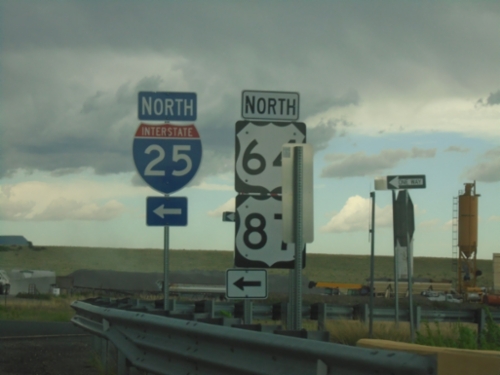
US-64 East at I-25 North
US-64 East at I-25 North (Exit 446) interchange. US-64 joins I-25 northbound to Raton. US-87 is listed here, although I-25 doesn’t reach US-87 until Raton.
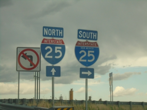
US-64 East at I-25
US-64 East at I-25 (Exit 446) interchange.
US-64 East Approaching I-25
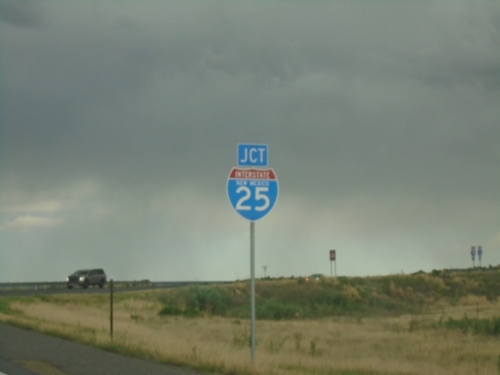
US-64 East Approaching I-25 (Exit 446) interchange.
US-64 - Distance Marker
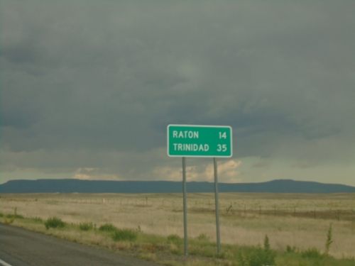
Distance marker on US-64. Distance to Raton and Trinidad (Colorado).
US-64 East at NM-445 South
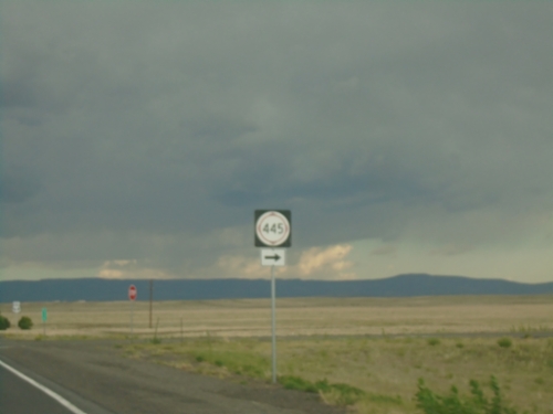
US-64 East at NM-445 South in Colfax County.
US-64 East Approaching NM-445
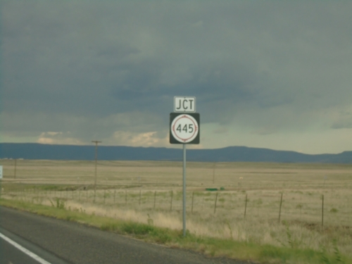
US-64 East approaching NM-445 in Colfax County.
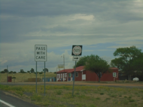
US-64 East at NM-505
US-64 East at NM-505 in Colfax County.
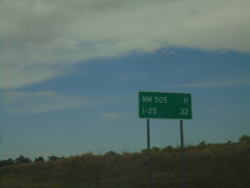
US-64 East - Distance Marker
Distance marker on US-64 east. Distance to NM-505 Junction and I-25 Junction.
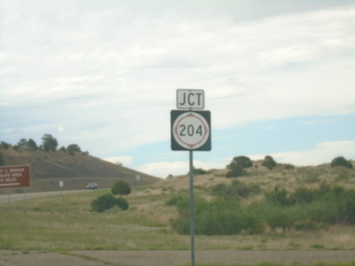
US-64 East at NM-204 Junction
US-64 East at NM-204 Junction to Philmont Scout Ranch
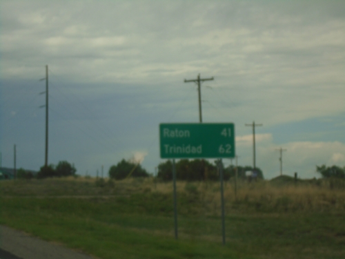
US-64 East - Distance Marker
Distance marker on US-64 East. Distance to Raton and Trinidad (Colorado).
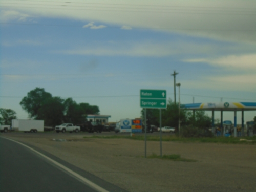
US-64 East at NM-58 East
US-64 East at NM-58 East in Cimarron. Use NM-58 East to Springer; continue east on US-64 to Raton.
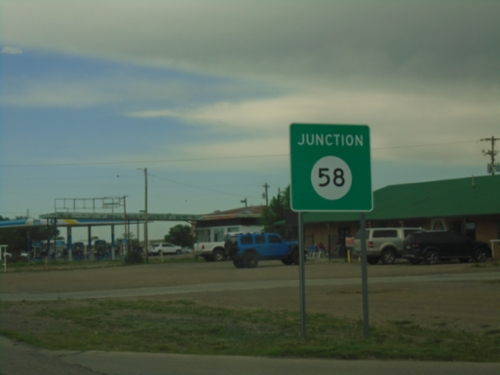
US-64 East Approaching NM-58
US-64 East approaching NM-58 in Cimarron.
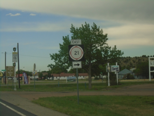
US-64 East at NM-21 East
US-64 East at NM-21 East in Cimarron.
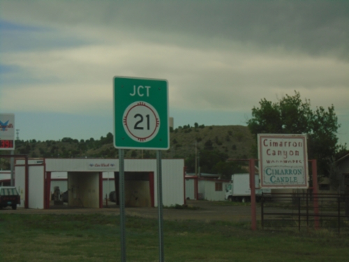
US-64 East Approaching NM-21
US-64 East approaching NM-21 in Cimarron.
US-64 East - Cimarron
Cimarron Village Limit - Elevation 6430 Feet on US-64 east.
US-64 East - Ute Park
US-64 East at Ute Park Fire Department junction. Continue east on US-64 for Cimarron and Raton.
US-64 East - Distance Marker
Distance marker on US-64 east. Distance to Cimarron and Raton.
US-64 East - Eagle Nest
US-64 East in Eagle Nest.
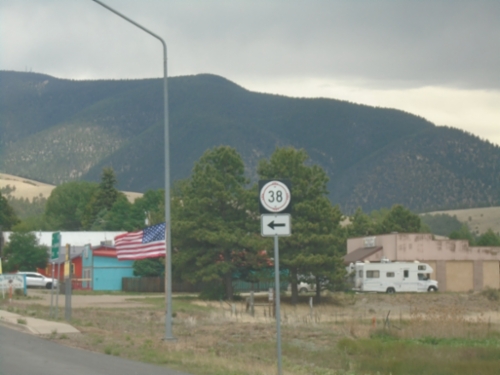
US-64 East at NM-38
US-64 East at NM-38 in Eagle Nest.
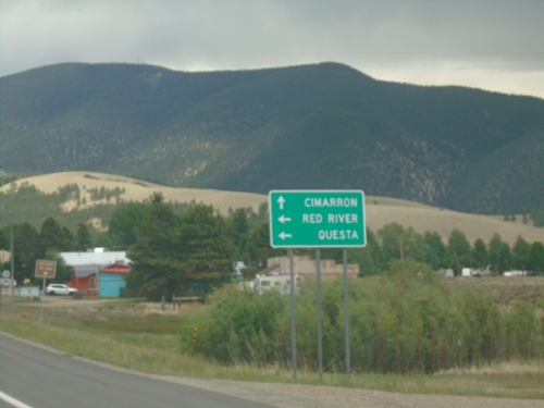
US-64 East at NM-38
US-64 East at NM-38 in Eagle Nest. Use NM-38 West to Red River and Questa. Use US-64 East to Cimarron.
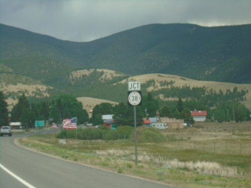
US-64 East Approaching NM-38
US-64 East approaching NM-38 in Eagle Nest.
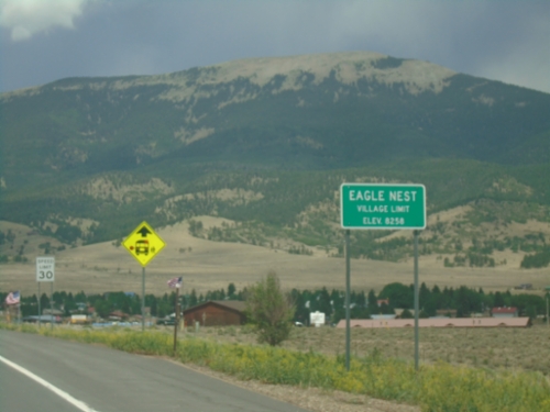
US-64 East - Eagle Nest
Eagle Nest Village Limit on US-64 East. Elevation 8258 Feet.
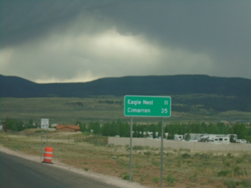
US-64 East - Distance Marker
Distance marker on US-64 east. Distance to Eagle Nest and Cimarron.
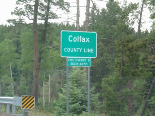
US-64 East - Colfax County Line
Colfax County Line on US-64 east at Palo Flechado Pass between Taos and Angel Fire.
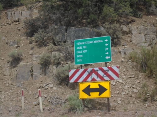
End NM-585 at US-64
End NM-585 at US-64. Use US-64 East to Vietnam Veterans Memorial, Angel Fire, Eagle Nest, and Raton; use US-64 West to Taos.
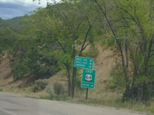
End NM-585 East at US-64
End NM-585 East at US-64. Use US-64 East to Raton, Angel Fire, Eagle Nest, and Cimarron.
NM-585 East Approaching US-64
NM-585 East (Paseo Del Cañon East) approaching US-64 in Taos.
Paseo Del Cañon East at NM-68
Paseo Del Cañon East at NM-68 (Paseo Del Pueblo Sur) in Taos. Continue straight for NM-585/Paseo Del Cañon West.
NM-68 South at NM-240 West
NM-68 South (Paseo Del Pueblo Sur) at NM-240 West (Camino De La Placita) in Taos.
NM-150 South at US-64/NM-522
NM-150 South at US-64/NM-522 in El Prado.

NM-150 South Approaching US-64/NM-522
NM-150 South approaching US-64/NM-522 in El Prado.
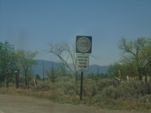
NM-150 South - Taos County
NM-150 South in Taos County
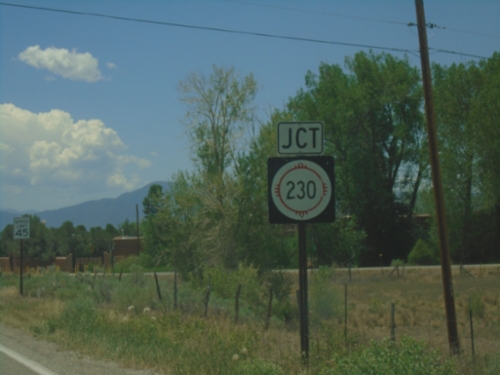
NM-150 South Approaching NM-230
NM-150 South approaching NM-230 in Taos County.
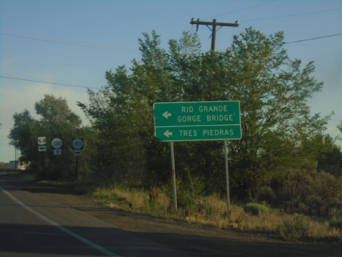
US-64 West at NM-150/NM-522
US-64 west at NM-150/NM-522 junction. Use US-64 for Tres Piedras and Rio Grande Gorge Bridge.
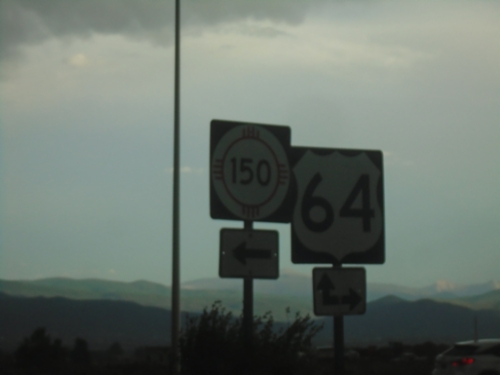
End NM-522 South at US-64 and NM-150
End NM-522 South at US-64 and NM-150 in El Prado.
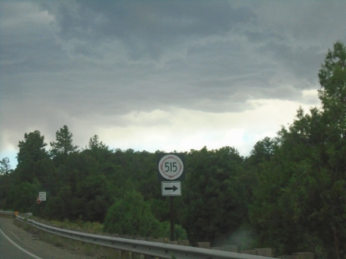
NM-522 South at NM-515
NM-522 South at NM-515 in Taos County.
NM-522 South - Questa
NM-522 south in Questa
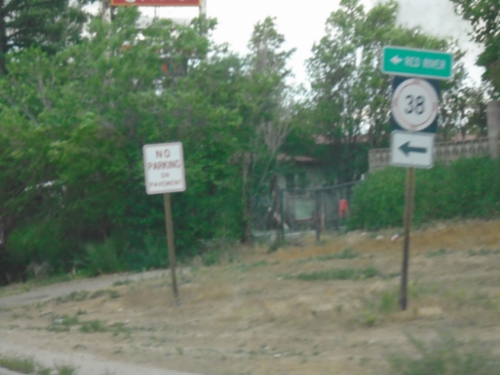
NM-522 South at NM-38
NM-522 South at NM-38 in Questa. Use NM-38 East to Red River.
NM-522 South - Questa
NM-522 south in Questa
NM-522 South - Questa
Questa Village Limits - Elevation 7500 Feet.
NM-522 South at NM-378
NM-522 South at NM-378 to Rio Grande National Monument and Wild Rivers.
NM-522 South - El Rito
Entering El Rito on NM-522 south.
NM-522 South - Distance Marker
Distance marker on NM-522 south to Questa and Taos.
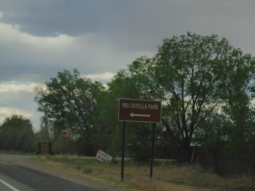
NM-522 South at NM-196
NM-522 South at NM-196 to Rio Costilla Park.
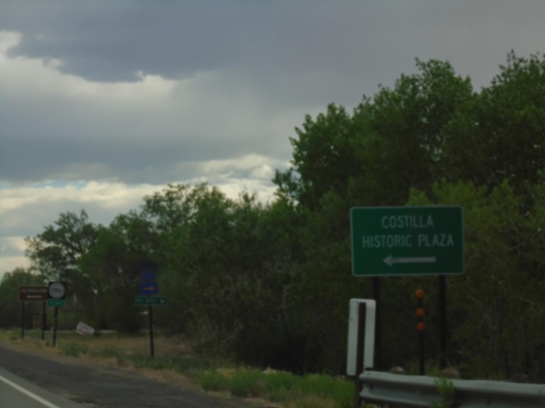
NM-522 South Approaching NM-196
NM-522 South approaching NM-196 to Costilla Historic Plaza.
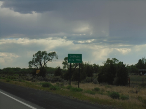
NM-522 South - Costilla
Entering Costilla - Elevation 7770 on NM-522 South.
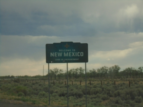
NM-522 South - Welcome To New Mexico
Welcome To New Mexico - Land of Enchantment on NM-522 South. Taken at the Colorado/New Mexico State Line.
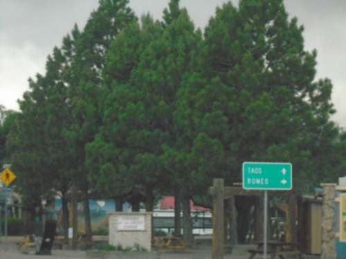
CO-159 South at CO-142
CO-159 South at CO-142 in San Luis. Use CO-142 west to Romeo; continue south on CO-152 to Taos (New Mexico).
CO-159 South Approaching CO-142
CO-159 South approaching CO-142 in San Luis.
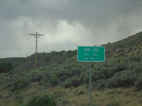
CO-159 South - San Luis
San Luis City Limits - Elevation 7965 Feet. San Luis is the county seat of Costilla County. San Luis is the oldest continuously occupied town in Colorado.
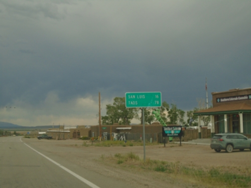
CO-159 South - Distance Marker
Distance marker on CO-159 south. Distance to San Luis and Taos (New Mexico).
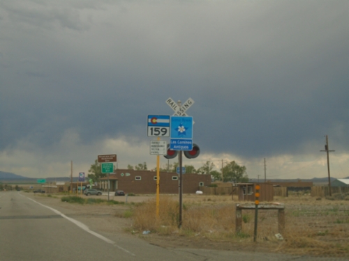
CO-159 South - Fort Garland
CO-159 South / Los Caminos Antiguos Scenic and Historic Byway in Fort Garland.
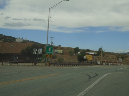
US-160 East at CO-159
US-160 East at CO-159 in Fort Garland.
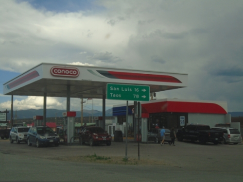
US-160 East at CO-159 South
US-160 East at CO-159 South in Fort Garland. Use CO-159 south to San Luis and Taos (New Mexico).
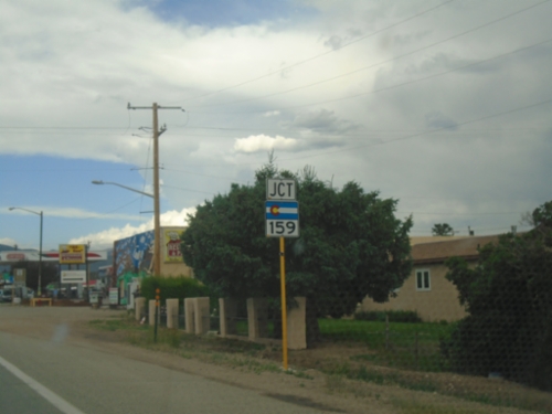
US-160 East Approaching CO-159
US-160 East approaching CO-159 in Fort Garland.
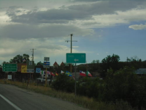
US-160 West Approaching CO-159
US-160 West approaching CO-159 in Fort Garland. Use CO-159 South to Taos (New Mexico), San Luis, and Fort Garland State Museum. Continue west on US-160 for Alamosa.
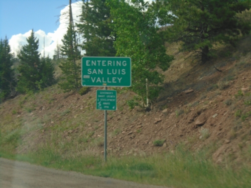
US-160 West - San Luis Valley
Entering the San Luis Valley on US-160 West at North La Veta Pass. San Luis Valley is considered the largest alpine valley in the world.
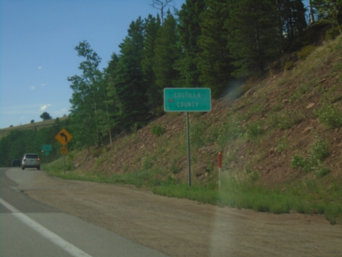
US-160 West - Costilla County
Costilla County on US-160 West at North La Veta Pass in the Sangre de Cristo Mountain Range.
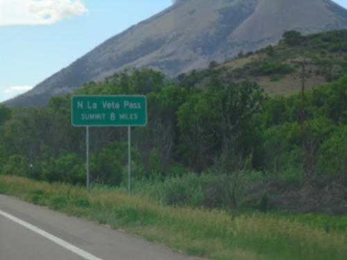
US-160 West Approaching North La Veta Pass
US-160 West - North La Veta Pass Summit 8 Miles. North La Veta Pass crosses the Sangre de Cristo Mountain Range.
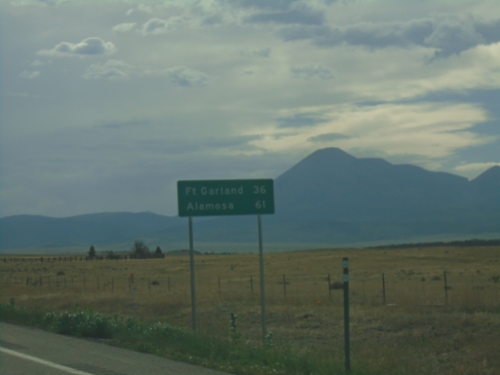
US-160 West - Distance Marker
Distance marker on US-160 west. Distance to Fort Garland and Alamosa.
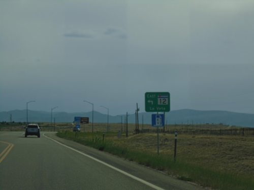
US-160 West at CO-160 East
US-160 West at CO-160 East to La Veta
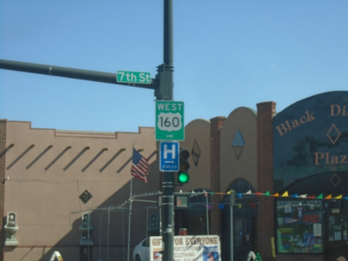
US-160 West/BL-25 South at US-160 West
US-160 West/BL-25 South (Main Street) at US-160 West (7th St.) in Walsenburg.
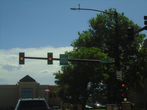
US-160 West at BL-25
US-160 West (E 5th St.) at BL-25 (Main Street) in Walsenburg. Turn left on Main Street to continue west on US-160.
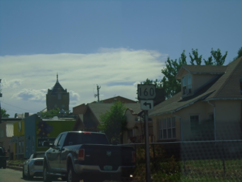
US-160 West Approaching BL-25
US-160 West (E 5th St) approaching BL-25 (Main Street) in Walsenburg. Turn left on Main St. to continue west on US-160.
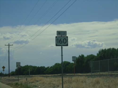
US-160 West - Walsenburg
US-160 west in Walsenburg.
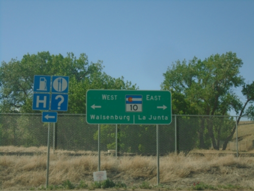
I-25 South at CO-10/US-160 (Exit 50)
I-25 South at CO-10/US-160 (Exit 50) in Walsenburg. Use CO-10 East to La Junta. Use US-160 West to Walsenburg. US-160 is absent from the sign assembly, and it shows CO-10 west going into Walsenburg.
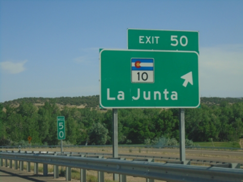
I-25 South - Exit 50
I-25 south at Exit 50 - CO-10/La Junta. US-160 joins I-25 south here to Trinidad.
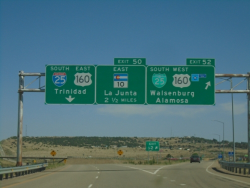
I-25 South - Exits 52 and 50
I-25 south at Exit 52 - BL-25 South/US-160 West/Walsenburg/Alamosa. Approaching Exit 50 - CO-10 East/La Junta. US-160 actually joins I-25 at Exit 50, but this is a quicker route from the north into Walsenburg. Continue south on I-25/US-160 East for Trinidad.
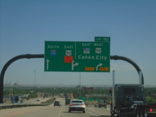
I-25 South - Exit 101
I-25 south at Exit 101 - US-50 West/CO-47 East/Cañon City. US-50 East joins I-25 South through Pueblo.
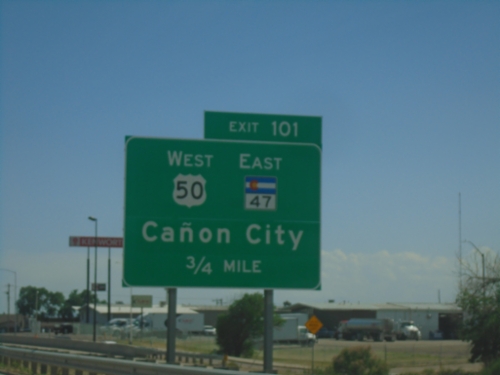
I-25 South - Exit 101
I-25 south approaching Exit 101 - US-50 West/CO-47 East/Cañon City. US-50 East joins I-25 Southbound through Pueblo.
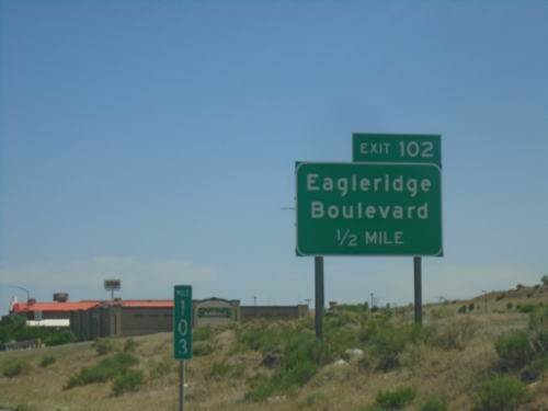
I-25 South - Exit 102
I-25 south approaching Exit 102 - Eagleridge Blvd.
I-25 Frontage Road Approaching I-25 South
I-25 Frontage Road approaching I-25 South (Exit 104).
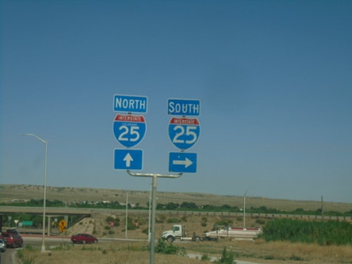
Drew Dix Parkway East Approaching I-25 Frontage Road
Drew Dix Parkway East approaching I-25 Frontage Road
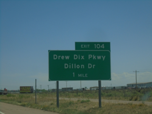
I-25 South - Exit 104
I-25 south approaching Exit 104 - Drew Dix Parkway/Dillon Drive.
I-25 South - Exit 106
I-25 south at Exit 106 - Porter Draw
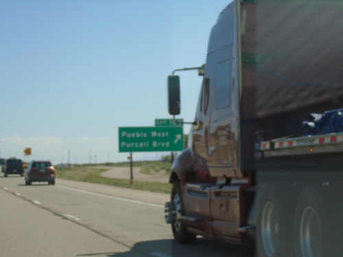
I-25 South - Exit 108
I-25 south at Exit 108 - Pueblo West/Purcell Blvd.
I-25 South - Exit 110
I-25 south approaching Exit 110 - Piñon.
I-25 South - Exit 116
I-25 south approaching Exit 116 - County Line Road.
I-25 South - Exit 119
I-25 south approaching Exit 119 - Rancho Colorado Blvd.
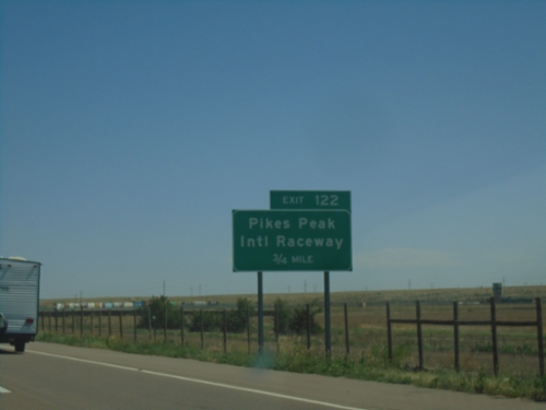
I-25 South - Exit 122
I-25 south approaching Exit 122 - Pikes Peak International Raceway.
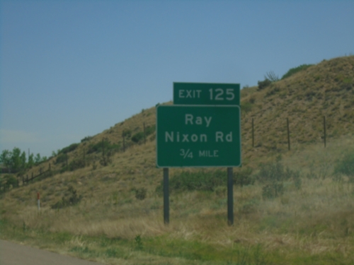
I-25 South - Exit 125
I-25 south approaching Exit 125 - Ray Nixon Road.
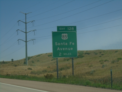
I-25 South - Exit 128
I-25 south approaching Exit 128 - US-85/Santa Fe Ave. US-85 joins I-25 southbound.
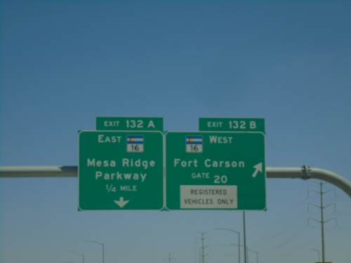
I-25 South - Exits 132A and 132B
I-25 south at Exit 132B - CO-16 West/Fort Carson Gate 20. Approaching Exit 132A - CO-16 East/Mesa Ridge Parkway.
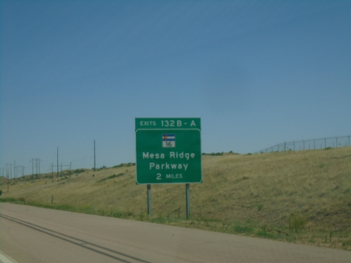
I-25 South - Exits 132B-A
I-25 South at Exits 132B-A - CO-16/Mesa Ridge Parkway.
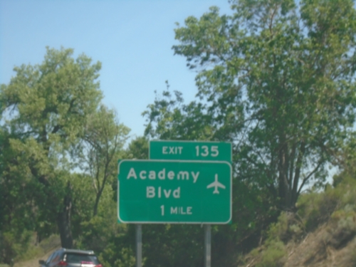
I-25 South - Exit 135
I-25 south approaching Exit 135 - Academy Blvd. Use Academy Blvd. for access to the Colorado Springs Airport.
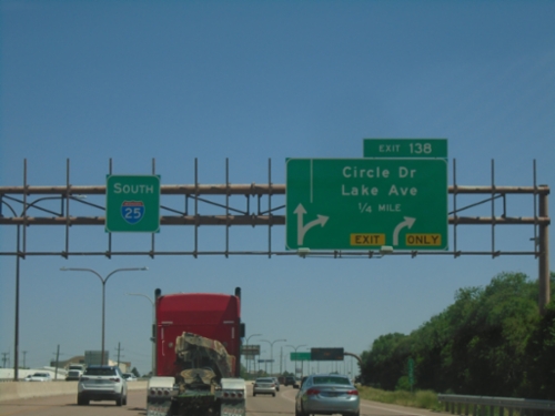
I-25 South - Exit 138
I-25 South approaching Exit 138 - Circle Drive/Lake Ave.
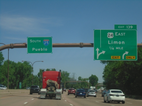
I-25 South - Exit 139
I-25 south approaching Exit 139 - US-24 East/Limon. I-25 continues south to Pueblo.
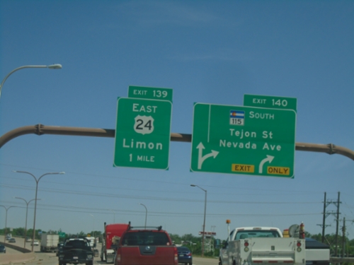
I-25 South/US-24 East - Exits 140 and 139
I-25 South/US-24 East at Exit 140 - CO-115 South/Tejon St./Nevada Ave. Approaching Exit 139 - US-24 East/Limon.
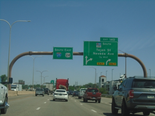
I-25 South - Exit 140
I-25 South/US-24 East approaching Exit 140 - CO-115 South/Tejon St./Nevada Ave.
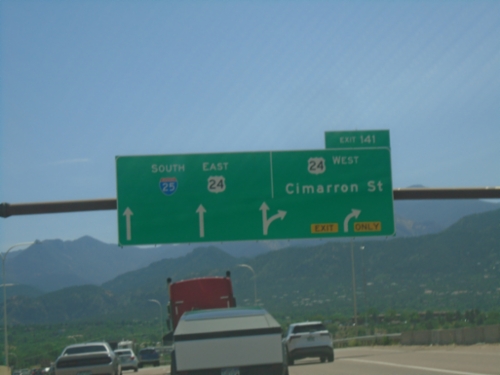
I-25 South - Exit 141
I-25 south at Exit 141 - US-24 West/Cimarron St. US-24 East joins I-25 Southbound.
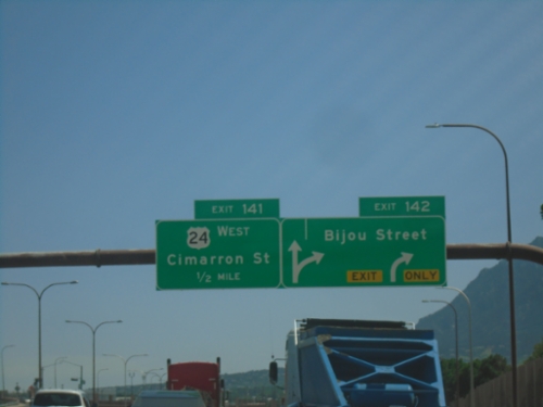
I-25 South - Exits 142 and 141
I-25 south at Exit 142 - Bijou St. Approaching Exit 141 - US-24 West/Cimarron St.
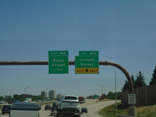
I-25 South - Exits 143 and 142
I-25 south at Exit 143 - Uintah Street. Approaching Exit 142 - Bijou Street.
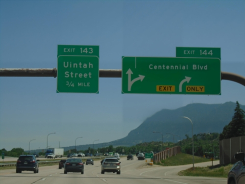
I-25 South - Exits 144 and 143
I-25 south at Exit 144 - Centennial Blvd. Approaching Exit 143 - Uintah Street.
I-25 South - Exit 144
I-25 south approaching Exit 144 - Centennial Blvd.
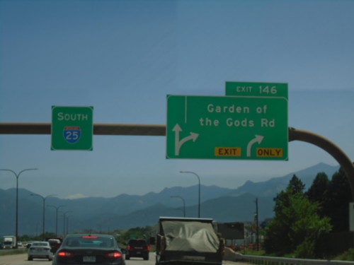
I-25 South - Exit 146
I-25 south at Exit 146 - Garden of the Gods Road.
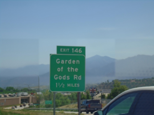
I-25 South - Exit 146
I-25 South approaching Exit 146 - Garden of the Gods Road.
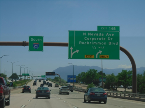
I-25 South - Exit 148
I-25 south approaching Exit 148 - N. Nevada Ave./Corporate Drive/Rockrimmon Blvd.
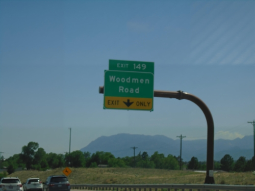
I-25 South - Exit 149
I-25 south at Exit 149 - Woodmen Road.
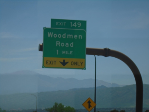
I-25 South - Exit 149
I-25 south approaching Exit 149 - Woodman Road.
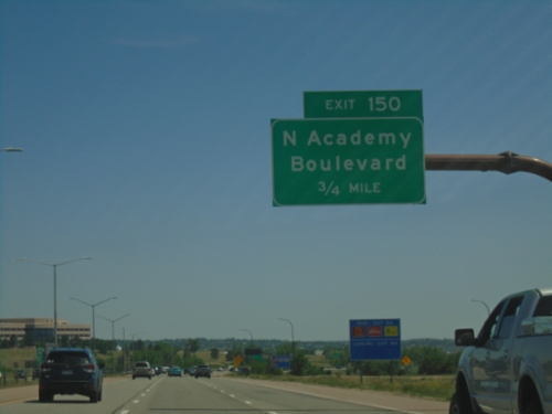
I-25 South - Exit 150
I-25 south approaching Exit 150 - N Academy Blvd. Use Exit 150 for access to the United States Air Force Academy.
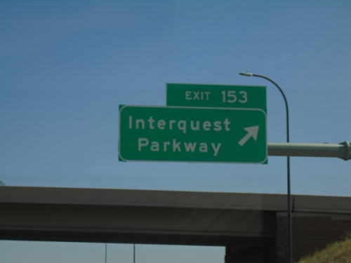
I-25 South - Exit 153
I-25 south at Exit 153 - Interquest Parkway.
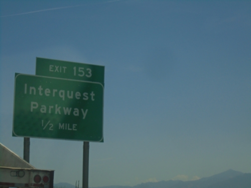
I-25 South - Exit 153
I-25 south approaching Exit 153 - Interquest Parkway.
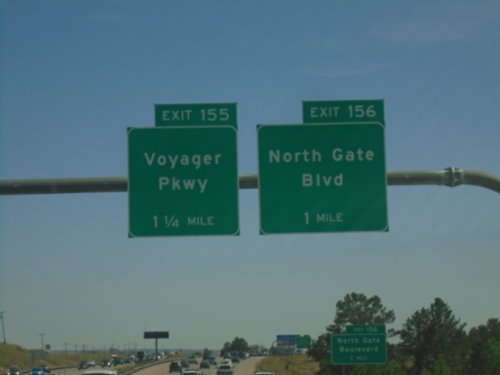
I-25 South - Exits 156 and 155
I-25 south at Exit 156 - North Gate Blvd. Approaching Exit 155 - Voyager Parkway. Use Exit 156 for the United States Air Force Academy.
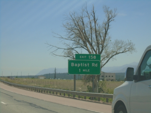
I-25 South - Exit 158
I-25 south approaching Exit 158 - Baptist Road.
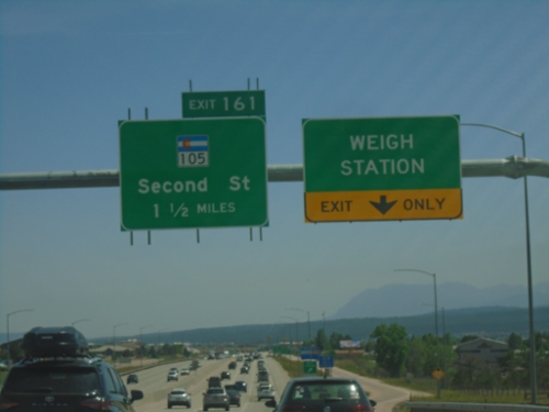
I-25 South - Weigh Station and Exit 161
I-25 south at Monument Weigh Station. Approaching Exit 161 - CO-105/Second St.
I-25 South - El Paso County
Entering El Paso County on I-25 South. El Paso County is the largest county in Colorado by population.
I-25 South - Exit 163
I-25 south approaching Exit 163 - County Line Road.
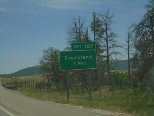
I-25 South - Exit 167
I-25 south approaching Exit 167 - Greenland
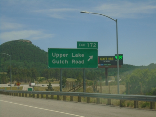
I-25 South - Exit 172
I-25 south at Exit 172 - Upper Lake Gulch Road.
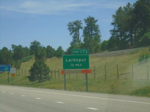
I-25 South - Exit 173
I-25 south approaching Exit 173 - Larkspur
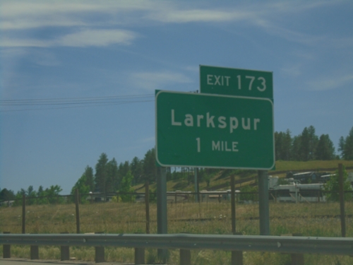
I-25 South - Exit 173
I-25 south approaching Exit 173 - Larkspur.
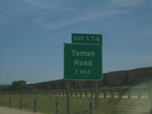
I-25 South - Exit 174
I-25 south approaching Exit 174 - Tomah Road.
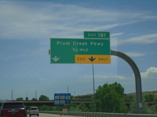
I-25 South - Exit 181
I-25 south approaching Exit 181 - Plum Creek Parkway.
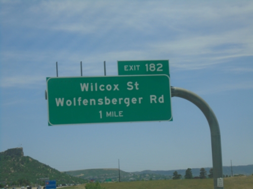
I-25 South - Exit 182
I-25 south approaching Exit 182 - Wilcox St./Wolfensberger Road.
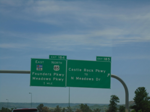
I-25 South - Exits 185 and 184
I-25 south at Exit 185 - Castle Rock Parkway/To N. Meadows Drive. Approaching Exit 184 - US-85 North/CO-86 East/Founders Parkway/Meadows Parkway. US-85 joins I-25/US-87 southbound.
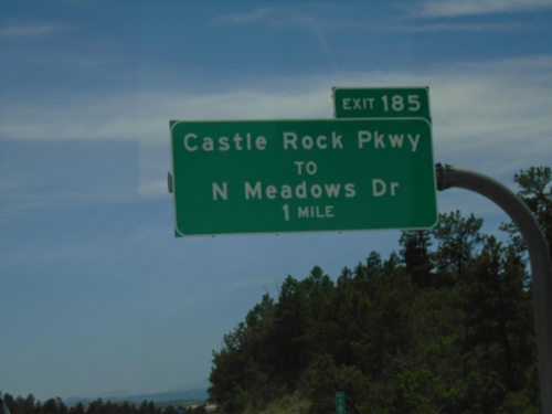
I-25 South - Exit 185
I-25 south approaching Exit 185 - Castle Rock Parkway/To N Meadows Drive.
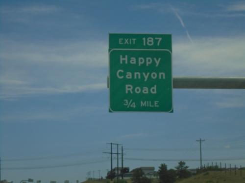
I-25 South - Exit 187
I-25 south approaching Exit 187 - Happy Canyon Road.
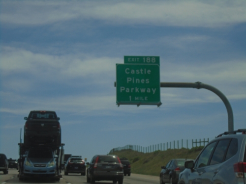
I-25 South - Exit 188
I-25 south approaching Exit 188 - Castle Pines Parkway.
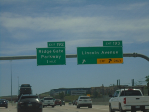
I-25 South - Exits 193 and 192
I-25 South at Exit 193 - Lincoln Ave. Approaching Exit 192 - Ridge Gate Parkway.
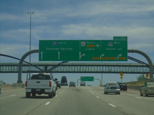
I-25 South - Exit 194
I-25 south at Exit 194 - E-470 North - Toll/Limon and CO-470 West/Grand Junction. E-470/CO-470 is a beltway around the Denver area. This is the southern point on the beltway. Continue south on I-25 to Colorado Springs.
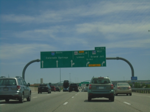
I-25 South - Exit 194
I-25 south approaching Exit 194 - E-470 North Toll/Limon and CO-470 West/Grand Junction. Continue south on I-25 for Colorado Springs.
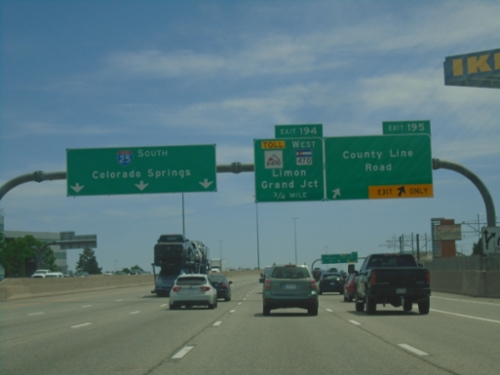
I-25 South - Exits 195 and 194
I-25 south at Exit 195 - County Line Road. Approaching Exit 194 - E-470 Toll/CO-470 West/Limon/Grand Junction. I-25 continues south to Colorado Springs.
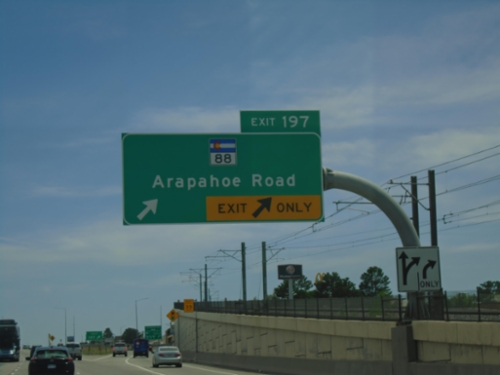
I-25 South - Exit 197
I-25 south at Exit 197 - CO-88/Arapahoe Road.
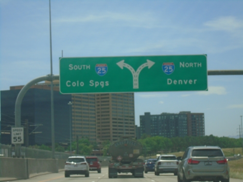
End I-225 South at I-25
End I-225 South at I-25 in Denver. Use I-25 South to Colorado Springs; I-25 North to Denver.
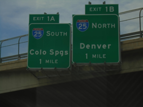
I-225 South Approaching I-25
I-225 South approaching Exit 1A - I-25 South/Colorado Springs, and Exit 1B - I-25 north/Denver. This is the southern end of I-225.
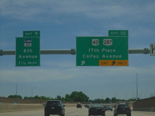
I-225 South - Exit 10 and 9
I-225 South at Exit 10 - US-40/US-287/17th Place/Colfax Ave. Approaching Exit 9 - CO-30/6th Ave.
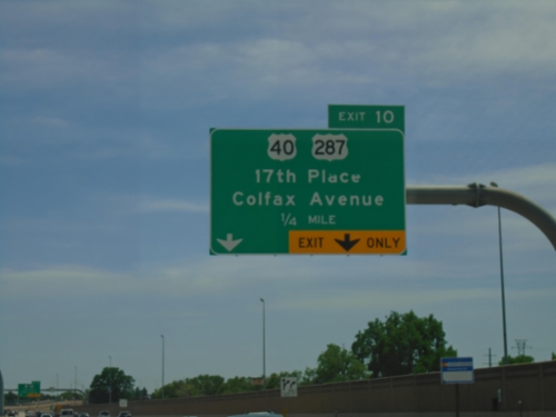
I-225 South - Exit 10
I-225 south approaching Exit 10 - US-40/US-287/17th Place/Colfax Ave.
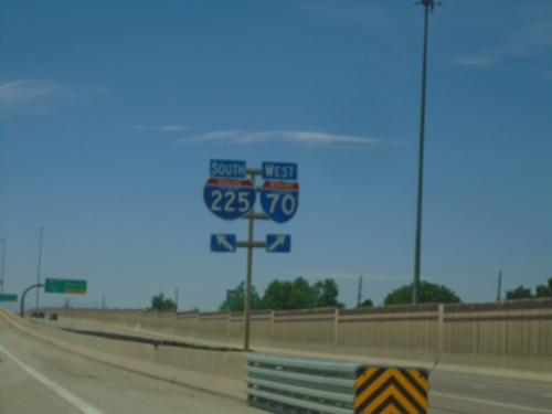
I-70 West/I-225 South Separation - Aurora
I-70 West/I-225 South Separation in Aurora. Merge right for I-70 West; left for I-225 South.
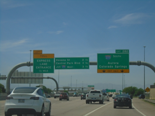
I-70 West - Exit 282
I-70 west approaching Exit 282 - I-225 South/Aurora/Colorado Springs. Continue on I-70 for Havana St., Central Park Blvd., and Jct. I-270 West. Use left lane for Toll Express Lane Entrance.
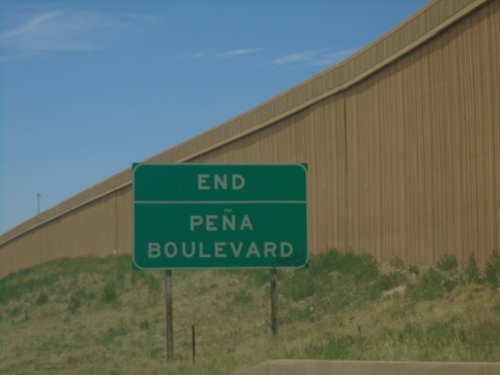
End Peña Blvd at I-70
End Peña Blvd at I-70 in Aurora.
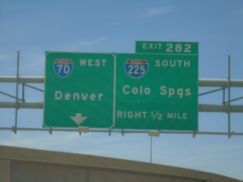
Peña Blvd West Approaching I-70 and I-225
Peña Blvd West approaching I-70 and I-225. Use right lane for Exit 282 - I-225 South to Colorado Springs. Use left lane for I-70 West to Denver.
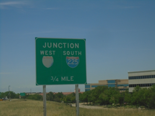
Peña Blvd West Approaching I-70/I-225
Peña Blvd West approaching I-70 West/I-225 South junction in Aurora.
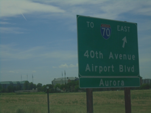
Peña Blvd. West at 40th Ave Interchange
Peña Blvd. West at 40th Ave/Airport Blvd./To I-70 East interchange. Westbound I-70 traffic continue on Peña Blvd.