Signs From California
US-97 North - Siskiyou County
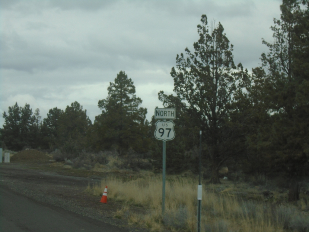
US-97 North in Siskiyou County. This is the last US-97 shield in California northbound.
Taken 02-15-2026
 Dorris
Siskiyou County
California
United States
Dorris
Siskiyou County
California
United States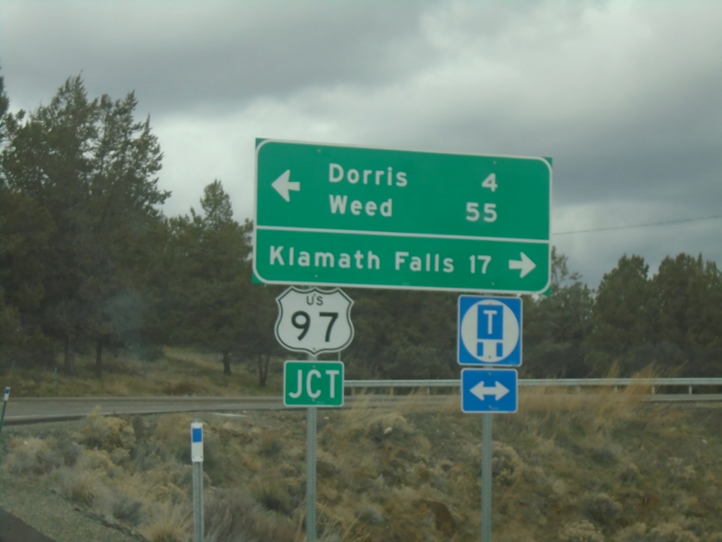
End CA-161 West at US-97
End CA-161 West at US-97 in Siskiyou County. Turn left for US-97 South to Dorris and Weed; right for US-97 North to Klamath Falls (Oregon).
Taken 02-15-2026
 Dorris
Siskiyou County
California
United States
Dorris
Siskiyou County
California
United States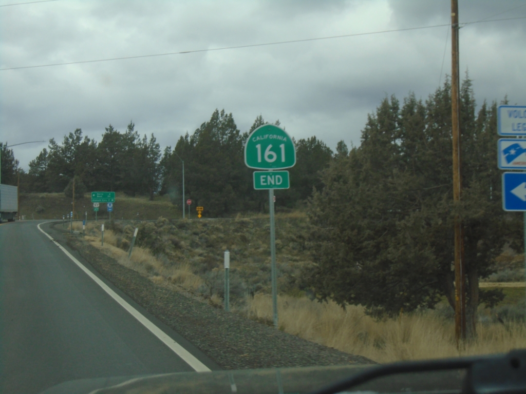
End CA-161 West Approaching US-97
End CA-161 West approaching US-97 in Siskiyou County.
Taken 02-15-2026
Dorris
Siskiyou County
California
United States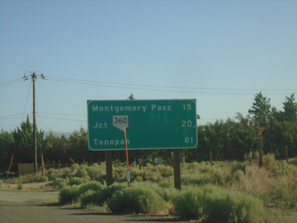
US-6 East - Distance Marker
Distance marker on US-6 east. Distance to Montgomery Pass (NV), Jct NV-360, Tonopah (NV).
Taken 07-22-2025
 Benton
Mono County
California
United States
Benton
Mono County
California
United States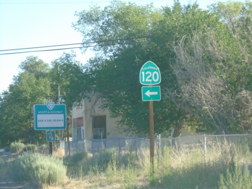
US-6 East at CA-120
US-6 East at CA-120 West in Benton.
Taken 07-22-2025
 Benton
Mono County
California
United States
Benton
Mono County
California
United States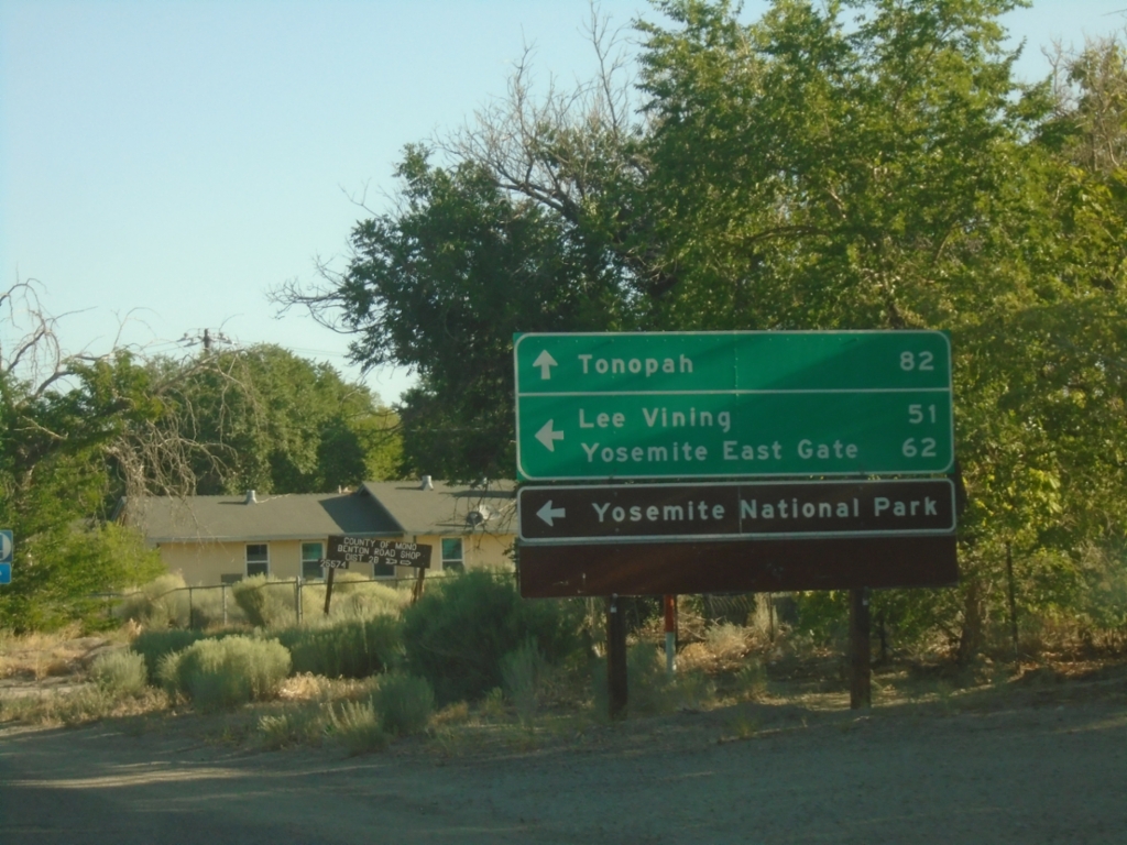
US-6 East Approaching CA-120
US-6 East approaching CA-120 west to Lee Vining, Yosemite East Gate and Yosemite National Park. Continue east on US-6 to Tonopah (Nevada).
Taken 07-22-2025
Benton
Mono County
California
United States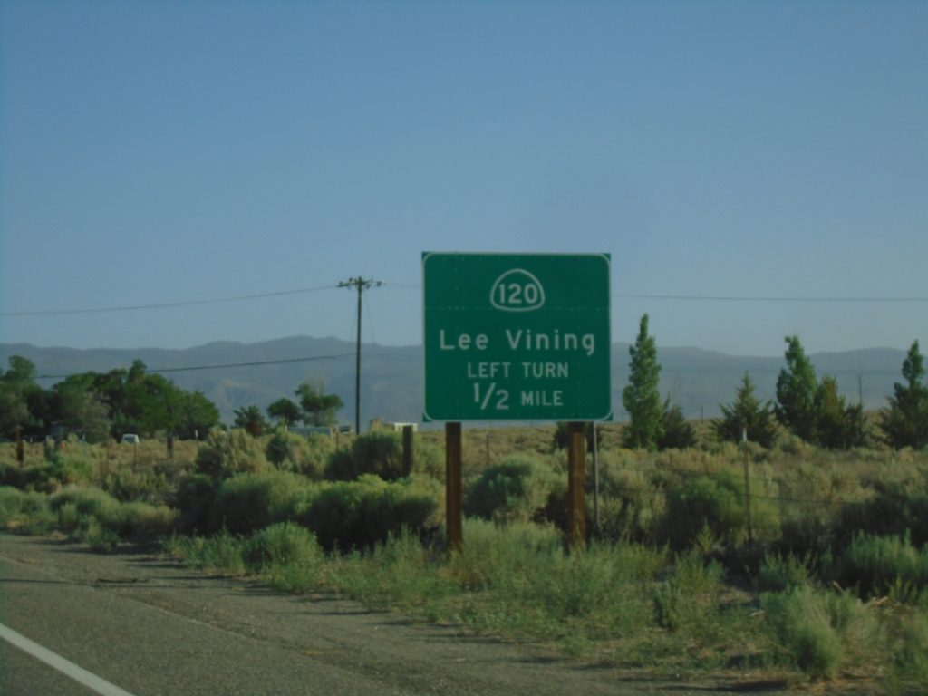
US-6 East Approaching CA-120
US-6 East approaching CA-120 East to Lee Vining.
Taken 07-22-2025
Bishop
Mono County
California
United States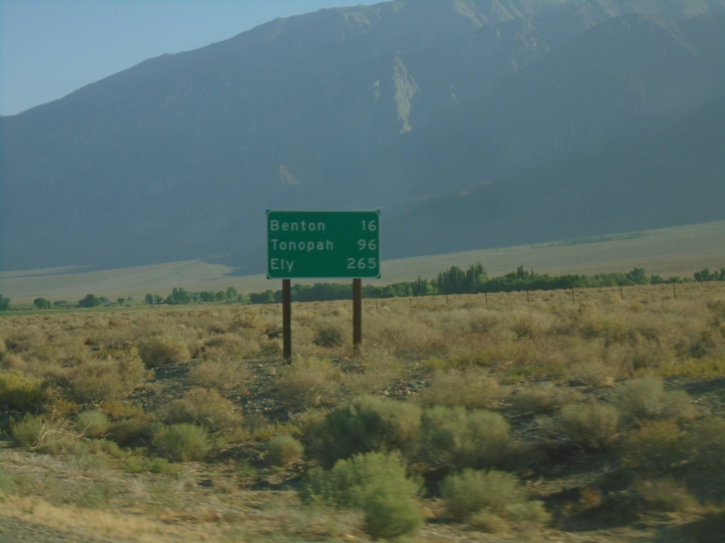
US-6 East - Distance Marker
Distance marker on US-6 east. Distance to Benton, Tonopah (NV), and Ely (NV).
Taken 07-22-2025
Bishop
Mono County
California
United States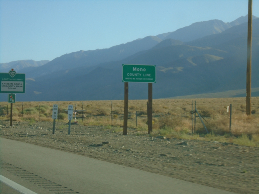
US-6 East - Mono County
Mono County Line on US-6 East.
Taken 07-22-2025
Chalfant
Mono County
California
United States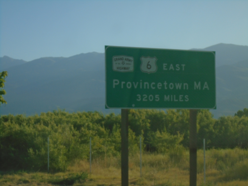
US-6 East - Distance Marker
Distance marker on US-6 east. Distance to eastern terminus in Provincetown, MA - 3205 miles. US-6 is the Grand Army of the Republic Highway.
Taken 07-22-2025
Bishop
Inyo County
California
United States