Signs From California
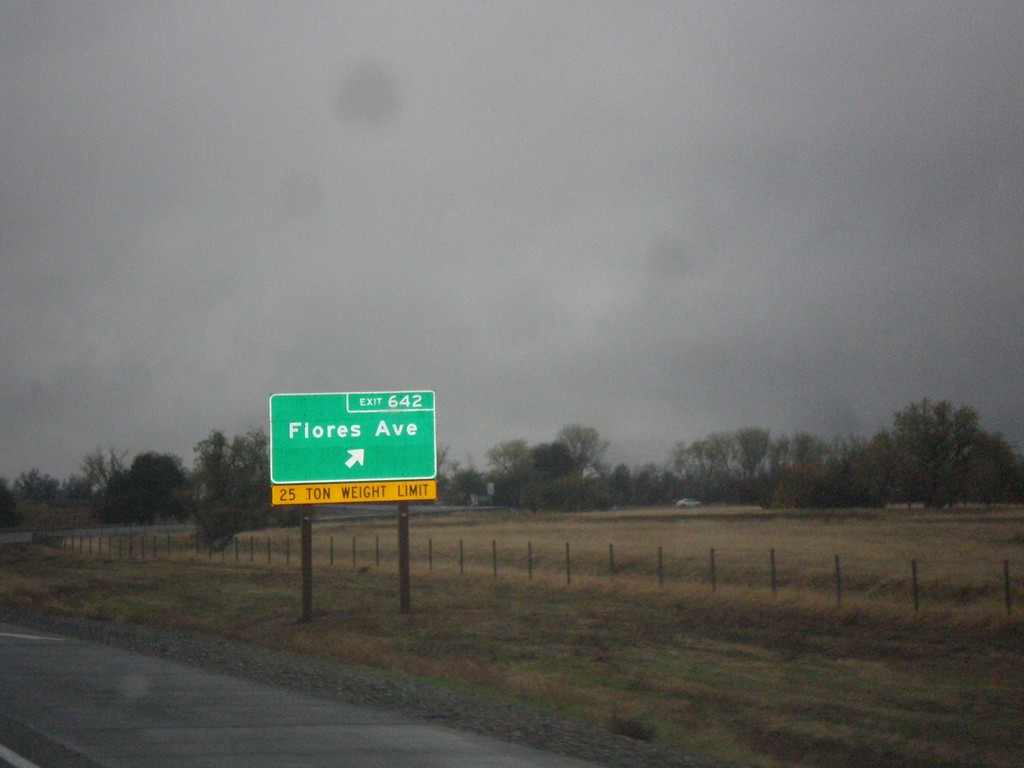
I-5 South - Exit 642
I-5 south at Exit 642 - Flores Ave.
Taken 11-20-2017
 Red Bluff
Tehama County
California
United States
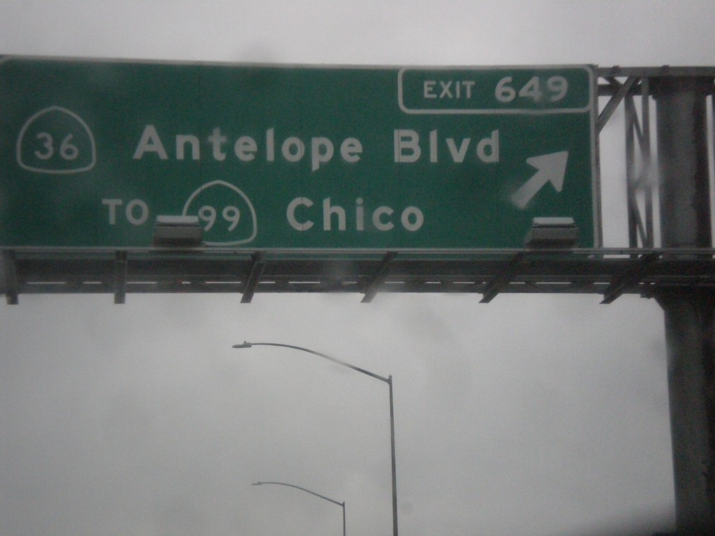
I-5 South - Exit 649
I-5 south at Exit 649 - CA-36/Antelope Blvd./To CA-99/Chico. This used to be the northern terminus of CA-99, but it was moved east of here to the CA-36 junction a few years back.
Taken 11-20-2017


 Red Bluff
Tehama County
California
United States
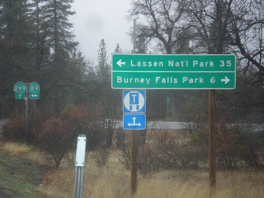
CA-299 West at CA-89
CA-299 west at CA-89 north to Burney Falls State Park, and south to Lassen National Park.
Taken 11-20-2017

 Cassel
Shasta County
California
United States
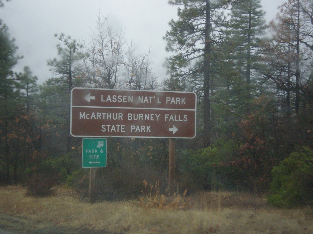
CA-299 West at CA-89
CA-299 west approaching CA-89 north to McArthur Burney Falls State Park, and south to Lassen National Park.
Taken 11-20-2017

 Cassel
Shasta County
California
United States
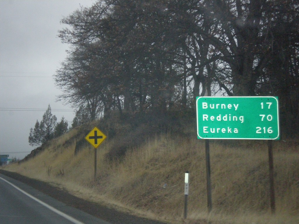
CA-299 West - Distance Marker
Distance marker on CA-299 west. Distance to Burney, Redding, and Eureka.
Taken 11-20-2017
 Fall River Mills
Shasta County
California
United States
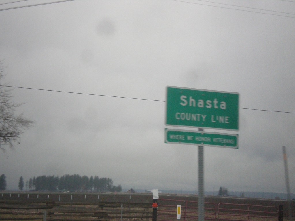
CA-299 West - Shasta County Line
Shasta County Line on CA-299 West.
Taken 11-20-2017
 McArthur
Shasta County
California
United States
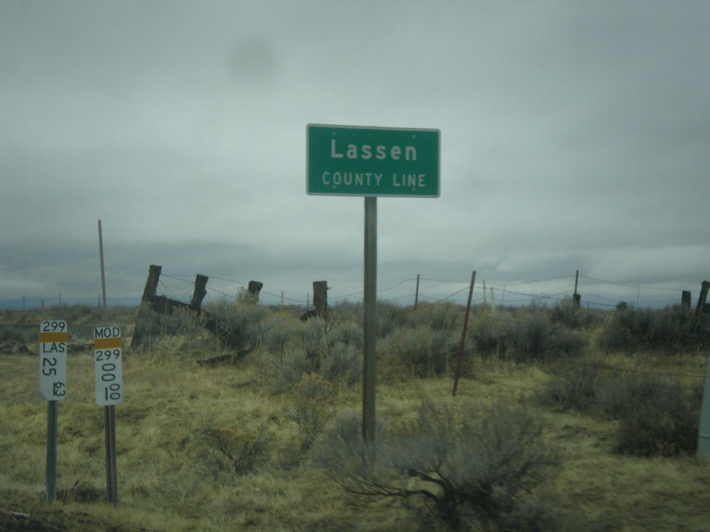
CA-299 West - Lassen County Line
Lassen County Line on CA-299 west.
Taken 11-20-2017
 Adin
Modoc County
California
United States
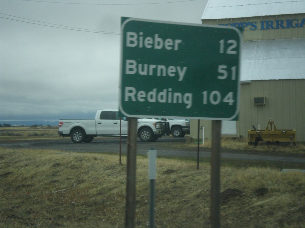
CA-299 West - Distance Marker
Distance marker on CA-299 west. Distance to Bieber, Burney, and Redding.
Taken 11-20-2017
 Adin
Modoc County
California
United States
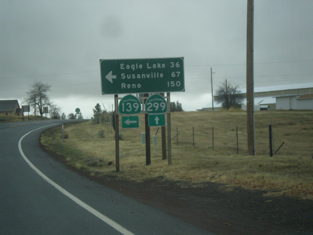
CA-139 South/CA-299 West at CA-139/CA-299 Split
CA-139 South/CA-299 West at CA-139/CA-299 Split. Turn left for CA-139 South to Eagle Lake, Susanville, and Reno (Nevada).
Taken 11-20-2017

 Adin
Modoc County
California
United States
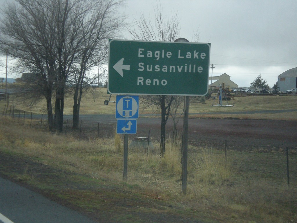
CA-139 South/CA-299 West Approaching CA-139/CA-299 Split
CA-139 South/CA-299 West Approaching CA-139/CA-299 split. Turn left for CA-139 south to Eagle Lake, Susanville, and Reno (Nevada).
Taken 11-20-2017

 Adin
Modoc County
California
United States