Signs From California
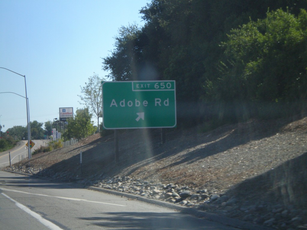
I-5 South - Exit 650
I-5 south at Exit 650 - Adobe Road.
Taken 09-25-2010
 Red Bluff
Tehama County
California
United States
Red Bluff
Tehama County
California
United States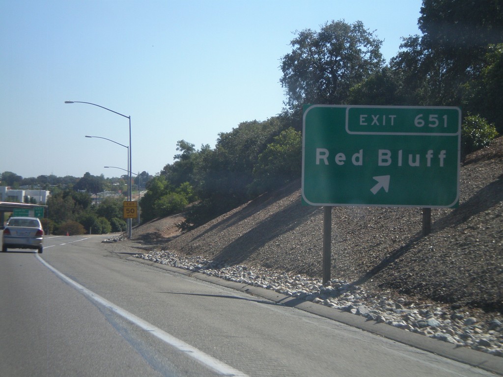
I-5 South - Exit 651
I-5 south at Exit 651 - Red Bluff.
Taken 09-25-2010
Red Bluff
Tehama County
California
United States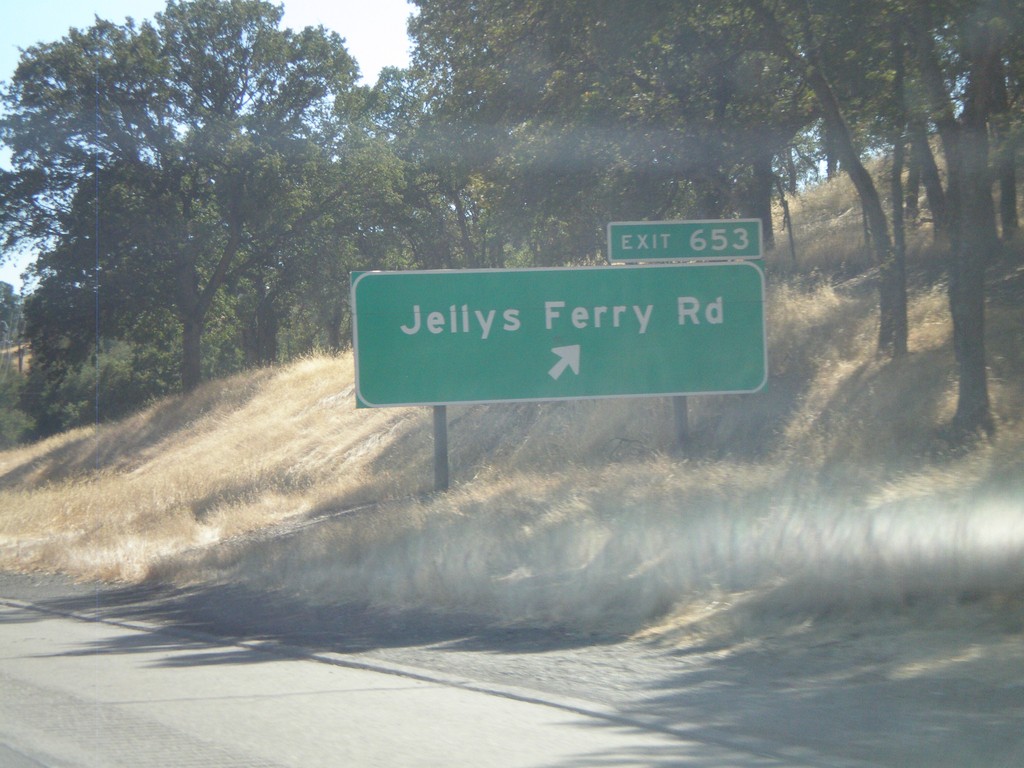
I-5 South - Exit 653
I-5 south at Exit 653 - Jellys Ferry Road.
Taken 09-25-2010
Red Bluff
Tehama County
California
United States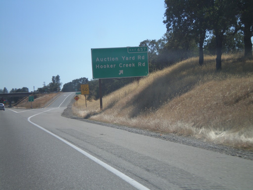
I-5 South - Exit 657
I-5 south at Exit 657 - Auction Yard Road/Hooker Creek Road.
Taken 09-25-2010
Cottonwood
Tehama County
California
United States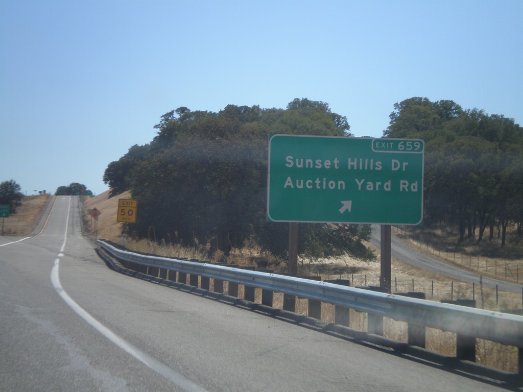
I-5 South - Exit 659
I-5 south at Exit 659 - Sunset Hills Drive/Auction Yard Road.
Taken 09-25-2010
Cottonwood
Tehama County
California
United States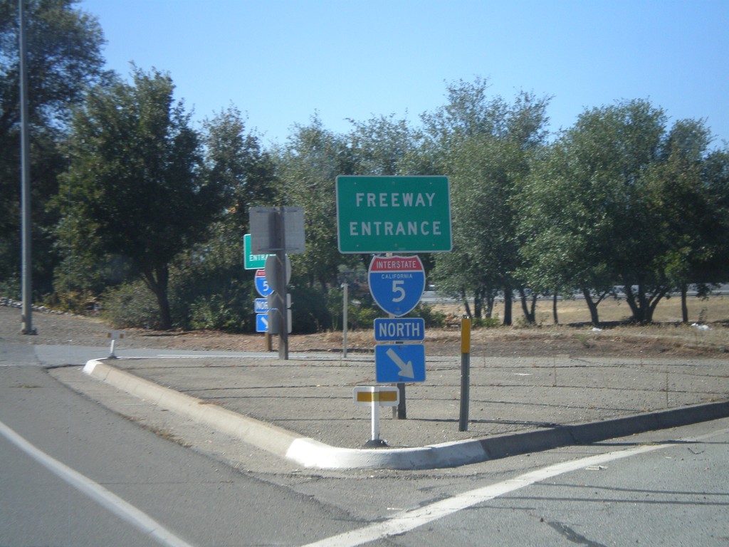
Gas Point Road West at I-5 North
Gas Point Road West at I-5 North onramp (Exit 664).
Taken 09-25-2010
Cottonwood
Shasta County
California
United States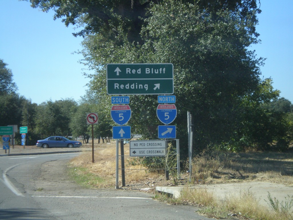
Gas Point Road at I-5 North
Gas Point Road at I-5 North (Exit 664). Use I-5 north for Redding. Use I-5 south for Red Bluff.
Taken 09-25-2010
Cottonwood
Shasta County
California
United States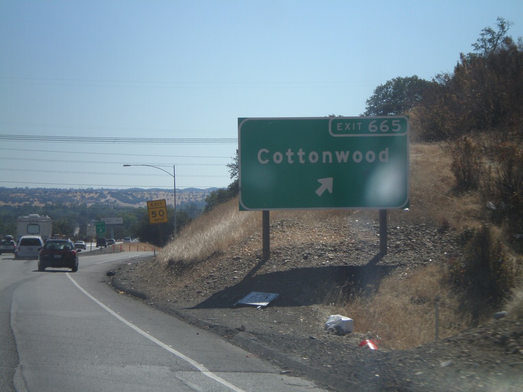
I-5 South - Exit 665
I-5 south at Exit 665 - Cottonwood.
Taken 09-25-2010
Cottonwood
Shasta County
California
United States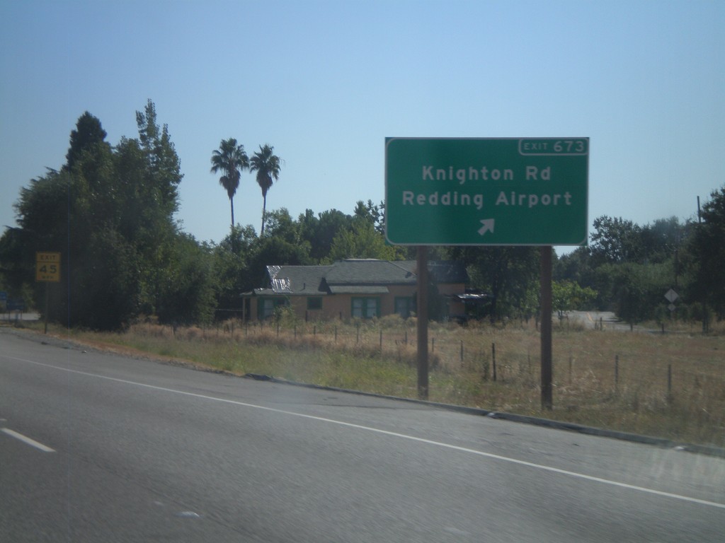
I-5 South - Exit 673
I-5 south at Exit 673 - Knighton Road/Redding Airport.
Taken 09-25-2010
Redding
Shasta County
California
United States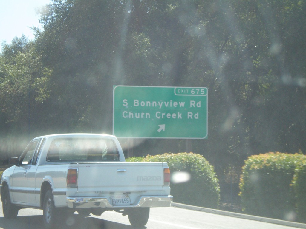
I-5 South - Exit 675
I-5 south at Exit 675 - South Bonnyview Road/Churn Creek Road.
Taken 09-25-2010
Redding
Shasta County
California
United States