Signs From California
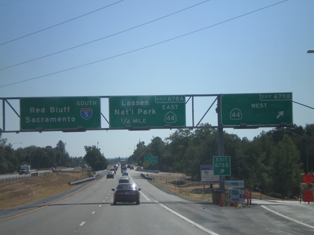
I-5 South - Exits 678B and 678A
I-5 south at Exit 678B - CA-44 West. Approaching Exit 678A - CA-44 East/Lassen National Park. I-5 continues south towards Red Bluff and Sacramento.
Taken 09-25-2010

 Redding
Shasta County
California
United States
Redding
Shasta County
California
United States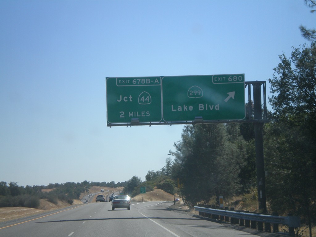
I-5 South - Exits 680 and 678B-A
I-5 south at Exit 680 - CA-299/Lake Blvd. Approaching Exit 678B-A - CA-44 Jct. CA-299 is the northern most east-west highway that connects the coast with Nevada in California.
Taken 09-25-2010
 Redding
Shasta County
California
United States
Redding
Shasta County
California
United States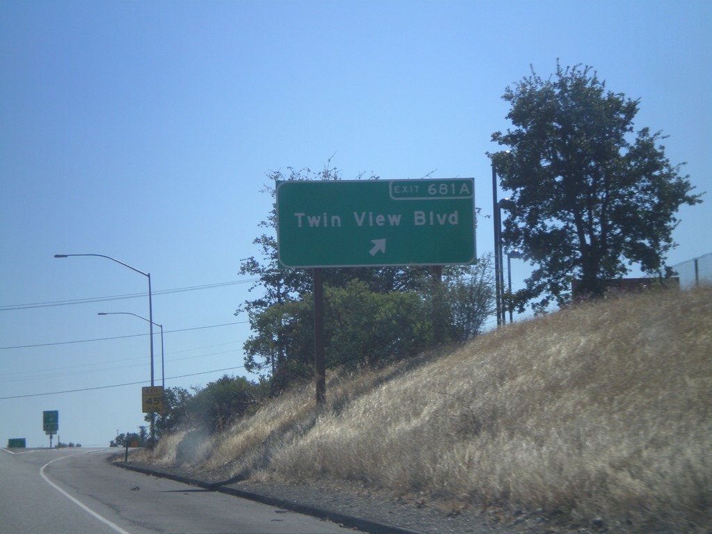
I-5 South - Exit 681A
I-5 south at Exit 681A - Twin View Blvd.
Taken 09-25-2010
Redding
Shasta County
California
United States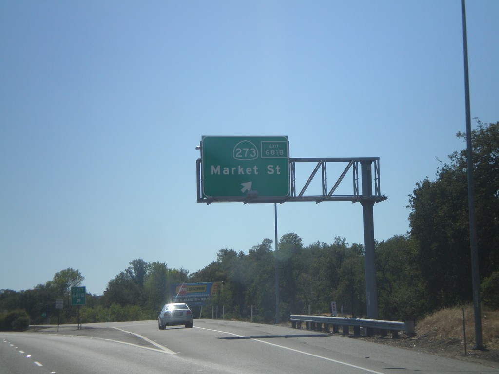
I-5 South - Exit 681B
I-5 south at Exit 681B - CA-273/Market St. CA-273 is a business loop of sorts, paralleling the west side of I-5 through Redding and Anderson.
Taken 09-25-2010
 Redding
Shasta County
California
United States
Redding
Shasta County
California
United States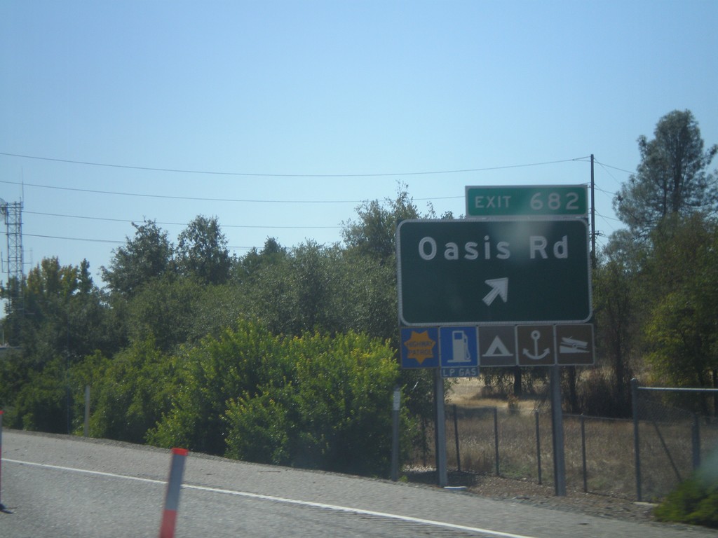
I-5 South - Exit 682
I-5 south at Exit 682 - Oasis Road.
Taken 09-25-2010
Shasta Lake
Shasta County
California
United States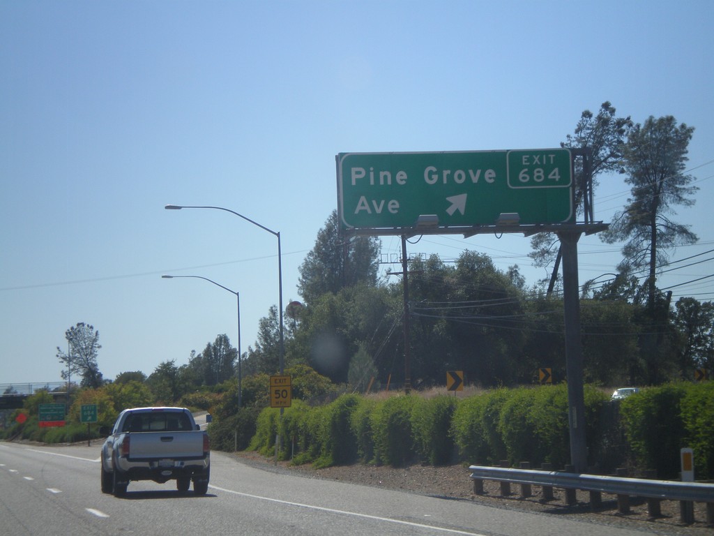
I-5 South - Exit 684
I-5 south at Exit 684 - Pine Grove Ave.
Taken 09-25-2010
Shasta Lake
Shasta County
California
United States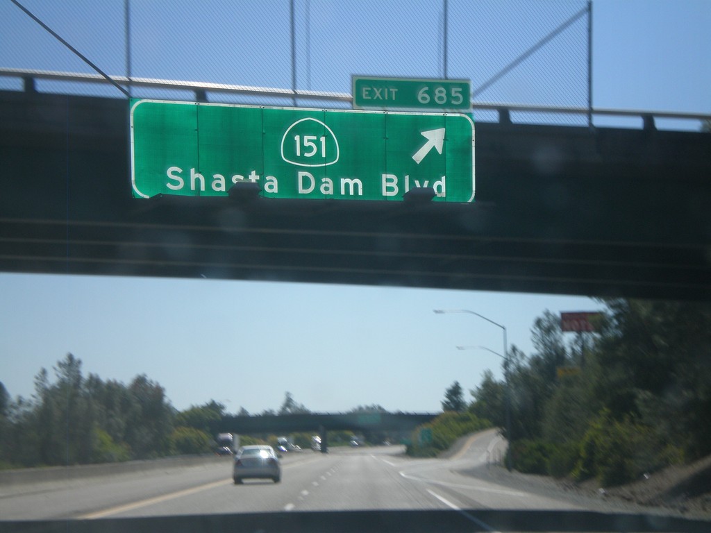
I-5 South - Exit 685
I-5 south at Exit 685 - CA-151/Shasta Dam Blvd.
Taken 09-25-2010
 Redding
Shasta County
California
United States
Redding
Shasta County
California
United States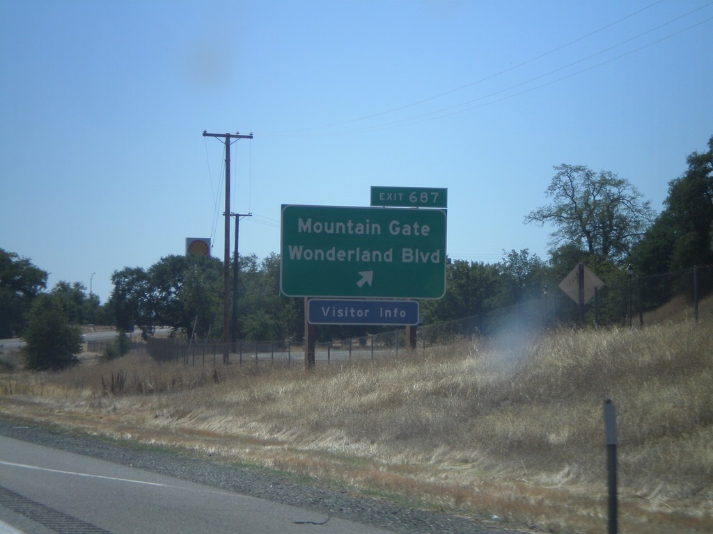
I-5 South - Exit 697
I-5 south at Exit 697 - Mountain Gate/Wonderland Blvd.
Taken 09-25-2010
Redding
Shasta County
California
United States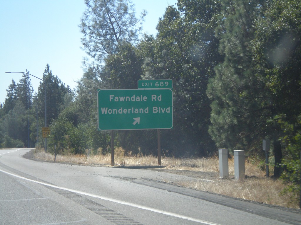
I-5 South - Exit 689
I-5 south at Exit 689 - Fawndale Road/Wonderland Blvd.
Taken 09-25-2010
Redding
Shasta County
California
United States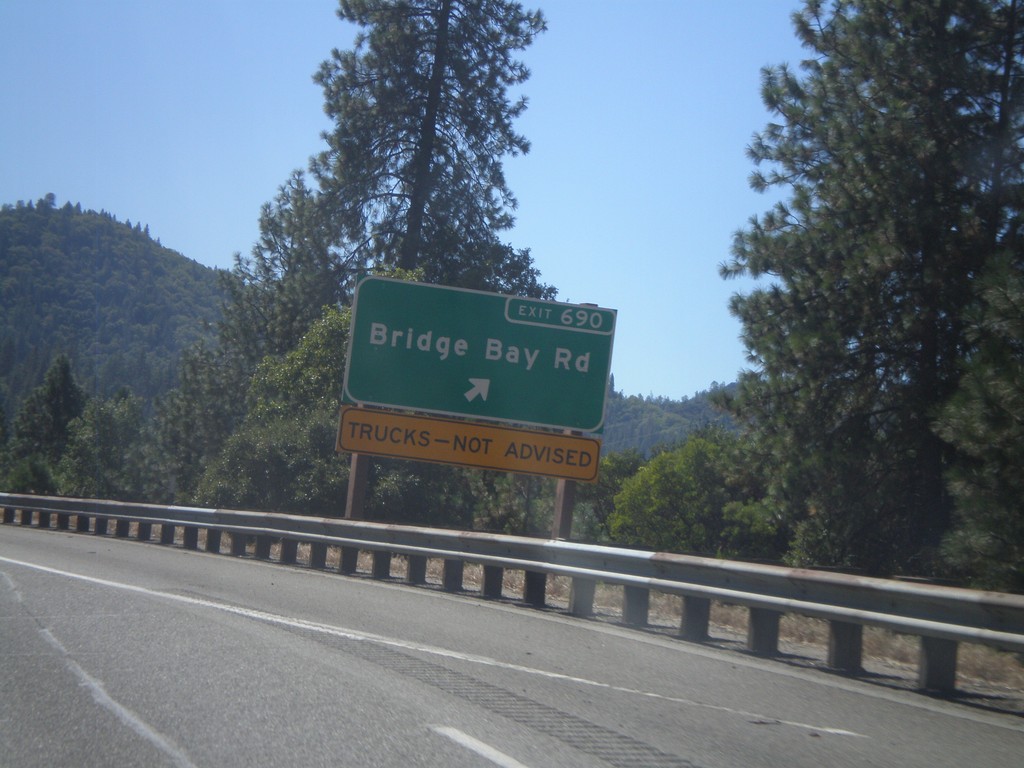
I-5 South - Exit 690
I-5 south at Exit 690 - Bridge Bay Road. Trucks not advised on Bridge Bay Road.
Taken 09-25-2010
Redding
Shasta County
California
United States