Signs From California
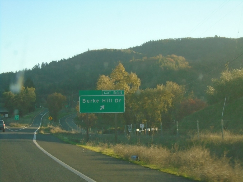
US-101 South - Exit 544
US-101 south at Exit 544 - Burke Hill Road.
Taken 11-21-2021
 Ukiah
Mendocino County
California
United States
Ukiah
Mendocino County
California
United States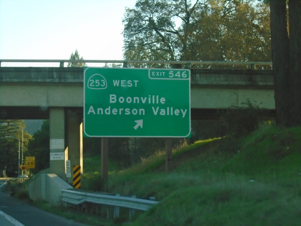
US-101 South - Exit 546
US-101 south at Exit 546 - CA-253 West/Boonville/Anderson Valley.
Taken 11-21-2021
 Ukiah
Mendocino County
California
United States
Ukiah
Mendocino County
California
United States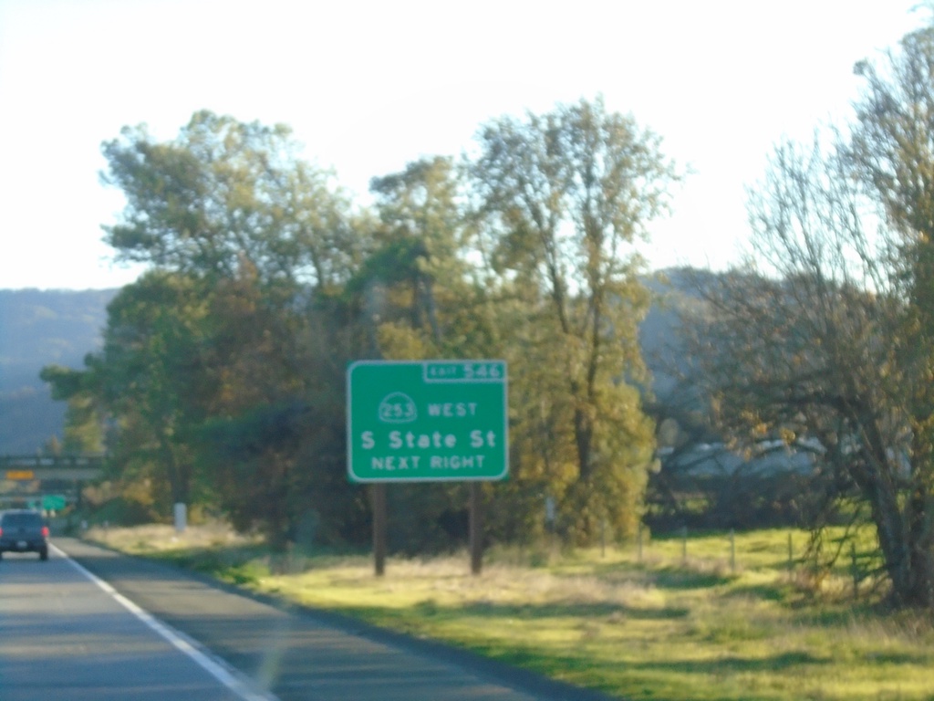
US-101 South Approaching Exit 546
US-101 south approaching Exit 546. Use Exit 546 to South State St. and CA-253 West.
Taken 11-21-2021
Ukiah
Mendocino County
California
United States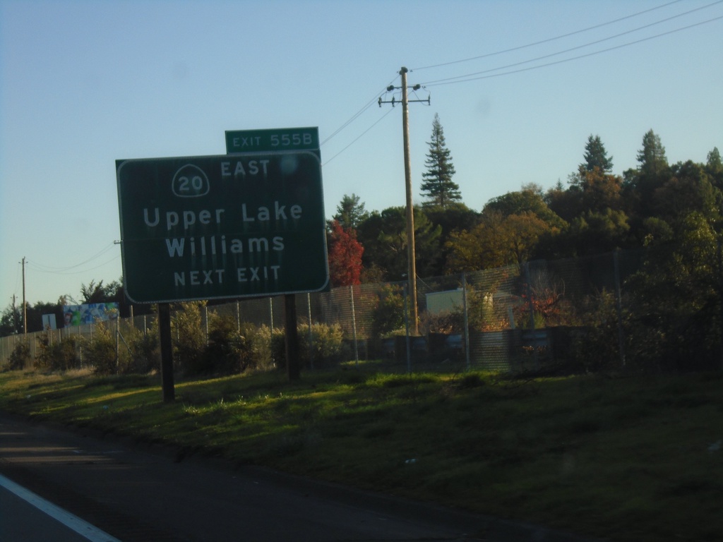
US-101 South - Exit 555B
US-101 south approaching Exit 555B - CA-20 East/Upper Lake/Williams.
Taken 11-21-2021
 Redwood Valley
Mendocino County
California
United States
Redwood Valley
Mendocino County
California
United States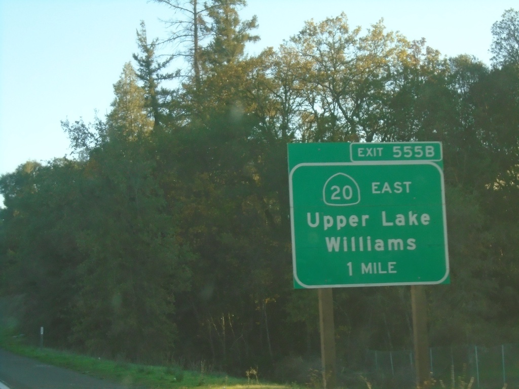
US-101 South - Exit 555B
US-101 south approaching Exit 555B - CA-20 East/Upper Lake/Willams
Taken 11-21-2021
Redwood Valley
Mendocino County
California
United States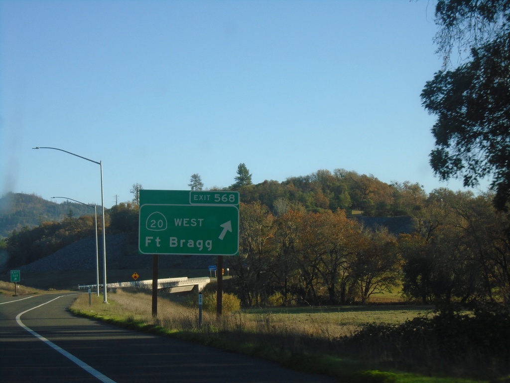
US-101 South - Exit 568
US-101 south at Exit 568 - CA-20 West/Fort Bragg. CA-20 joins US-101 south to Calpella. This is the southern end of the Willits bypass.
Taken 11-21-2021
Willits
Mendocino County
California
United States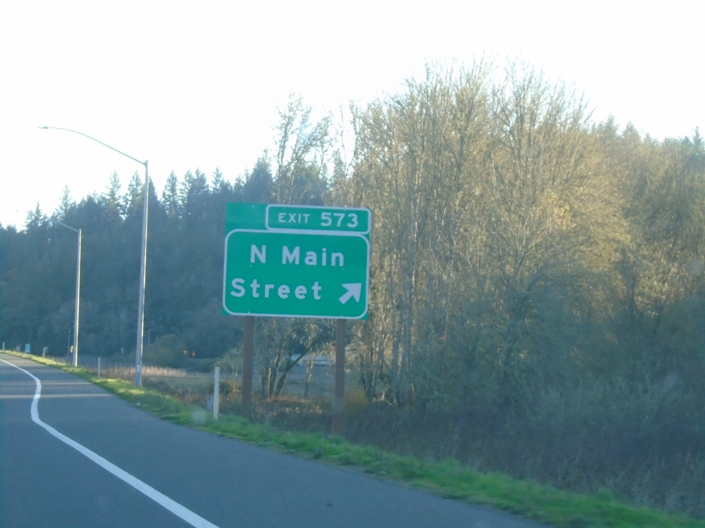
US-101 South - Exit 573
US-101 south at Exit 573 - North Main St. This is the northern end of the Willits Bypass, completed in 2016.
Taken 11-21-2021
Willits
Mendocino County
California
United States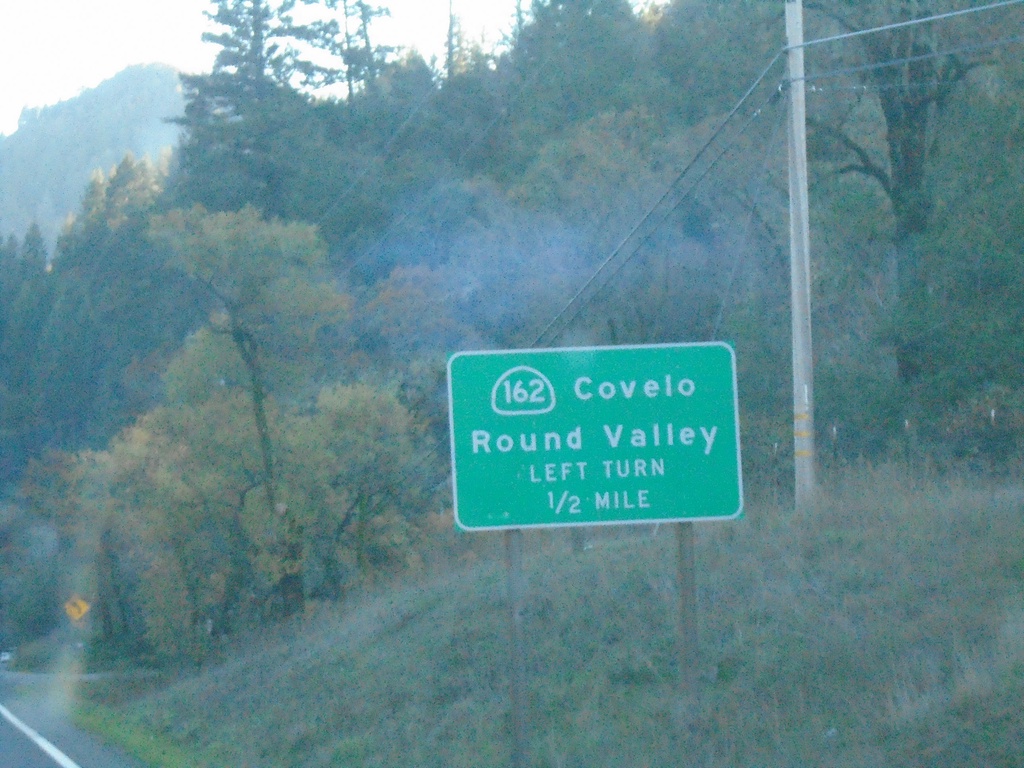
US-101 South Approaching CA-162
US-101 south approaching CA-162 east to Covelo and Round Valley.
Taken 11-21-2021
 Willits
Mendocino County
California
United States
Willits
Mendocino County
California
United States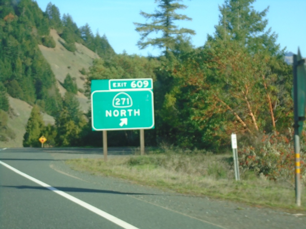
US-101 South - Exit 609
US-101 south at Exit 609 - CA-271 North.. This is the southern terminus of CA-271.
Taken 11-21-2021
 Leggett
Mendocino County
California
United States
Leggett
Mendocino County
California
United States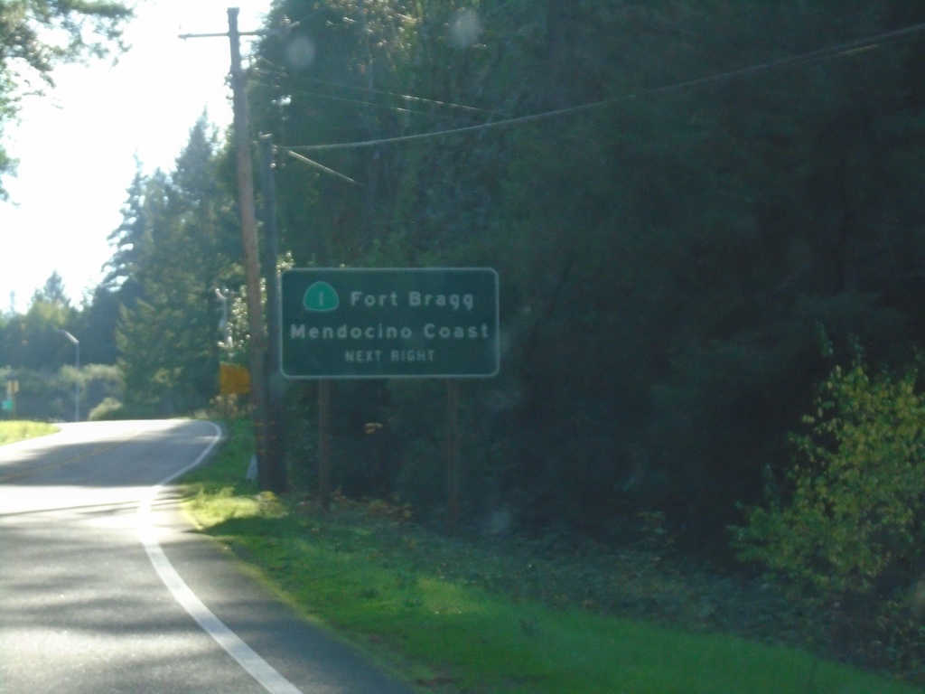
US-101 South Approaching CA-1
US-101 south approaching CA-1/Fort Bragg/Mendocino Coast.
Taken 11-21-2021
 Leggett
Mendocino County
California
United States
Leggett
Mendocino County
California
United States