Signs From California
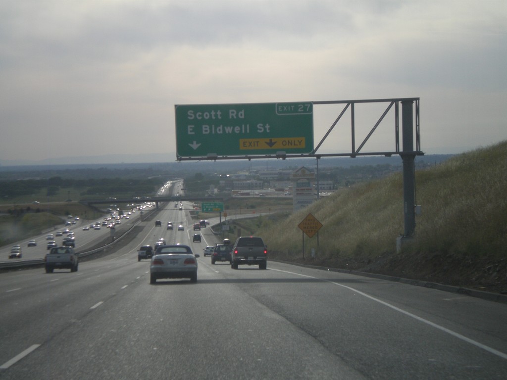
US-50 West - Exit 27
US-50 west at Exit 27 - Scott Road/E Bidwell St
Taken 04-15-2010
 Folsom
Sacramento County
California
United States
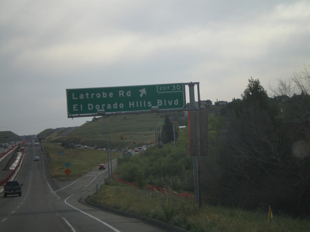
US-50 West - Exit 30
US-50 west at Exit 30 - Latrobe Road/El Dorado Hills Blvd.
Taken 04-15-2010
 El Dorado Hills
El Dorado County
California
United States
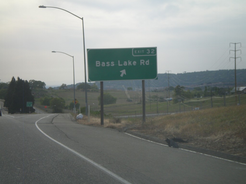
US-50 West - Exit 32
US-50 west at Exit 32 - Bass Lake Road
Taken 04-15-2010
 Cameron Park
El Dorado County
California
United States
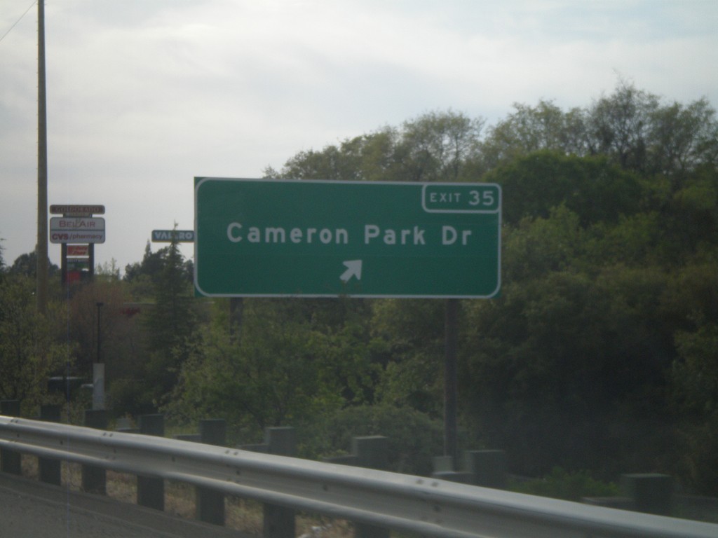
US-50 West - Exit 35
US-50 west at Exit 35 - Cameron Park Drive.
Taken 04-15-2010
 Cameron Park
El Dorado County
California
United States
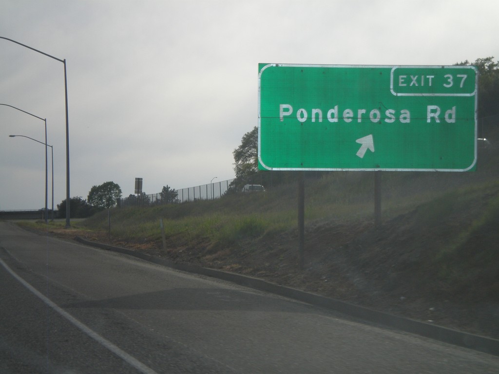
US-50 West - Exit 37
US-50 west at Exit 37 - Ponderosa Road.
Taken 04-15-2010
 Shingle Springs
El Dorado County
California
United States
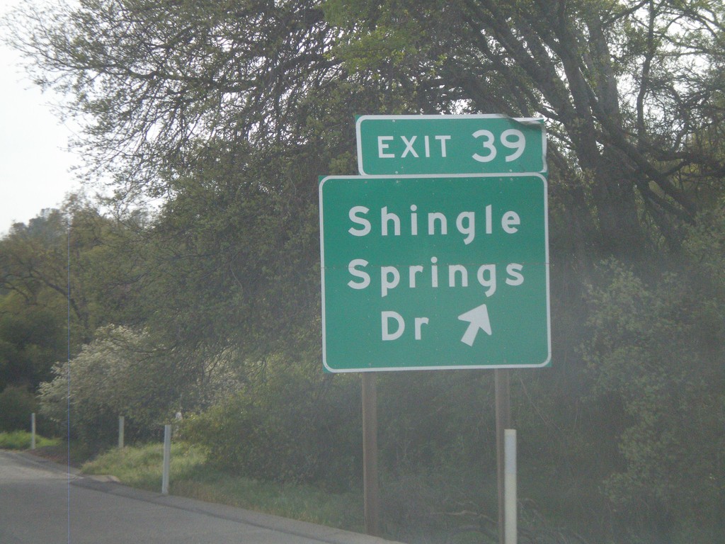
US-50 West - Exit 39
US-50 west at Exit 39 - Shingle Springs Drive.
Taken 04-15-2010
 Shingle Springs
El Dorado County
California
United States
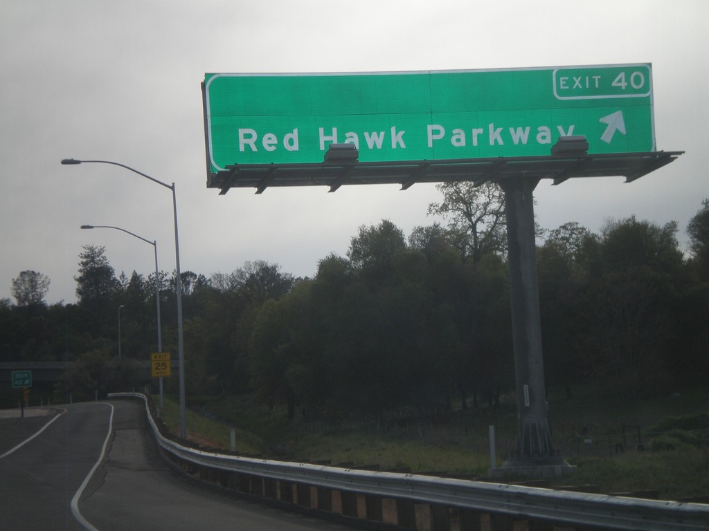
US-50 West - Exit 40
US-50 west at Exit 40 - Red Hawk Parkway.
Taken 04-15-2010
 Placerville
El Dorado County
California
United States
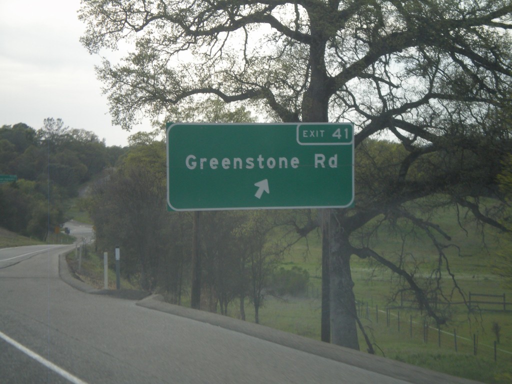
US-50 West - Exit 41
US-50 west approaching Exit 41 - Greenstone Road.
Taken 04-15-2010
 Placerville
El Dorado County
California
United States
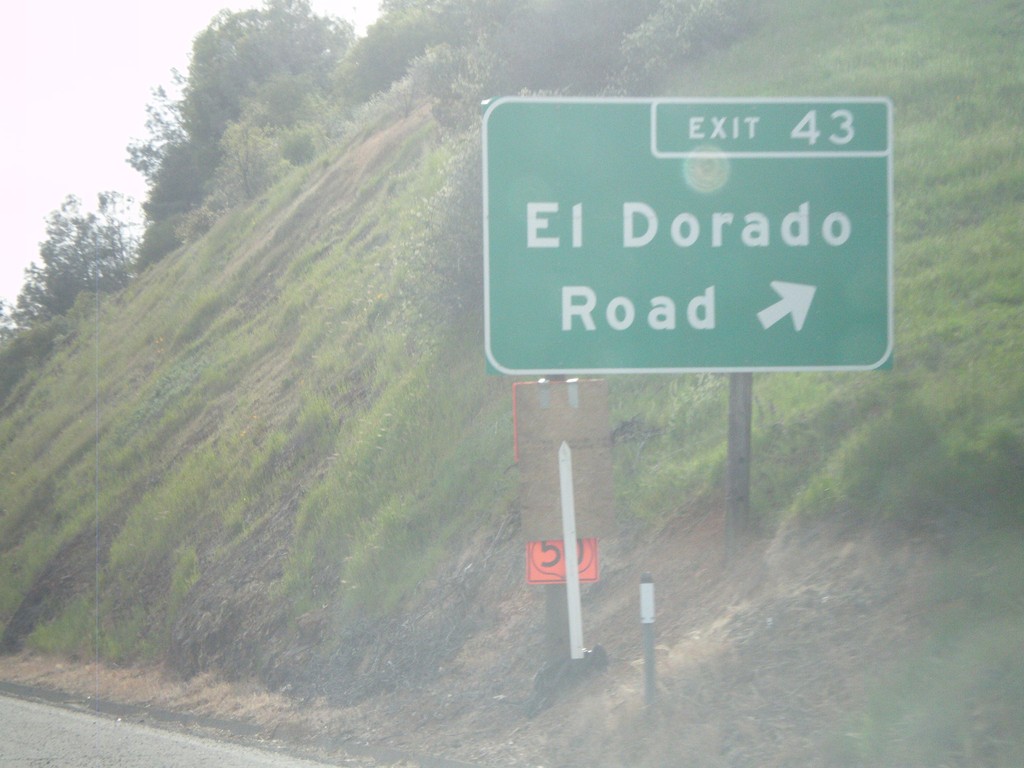
US-50 West - Exit 43
US-50 west at Exit 43 - El Dorado Road
Taken 04-15-2010
 Placerville
El Dorado County
California
United States
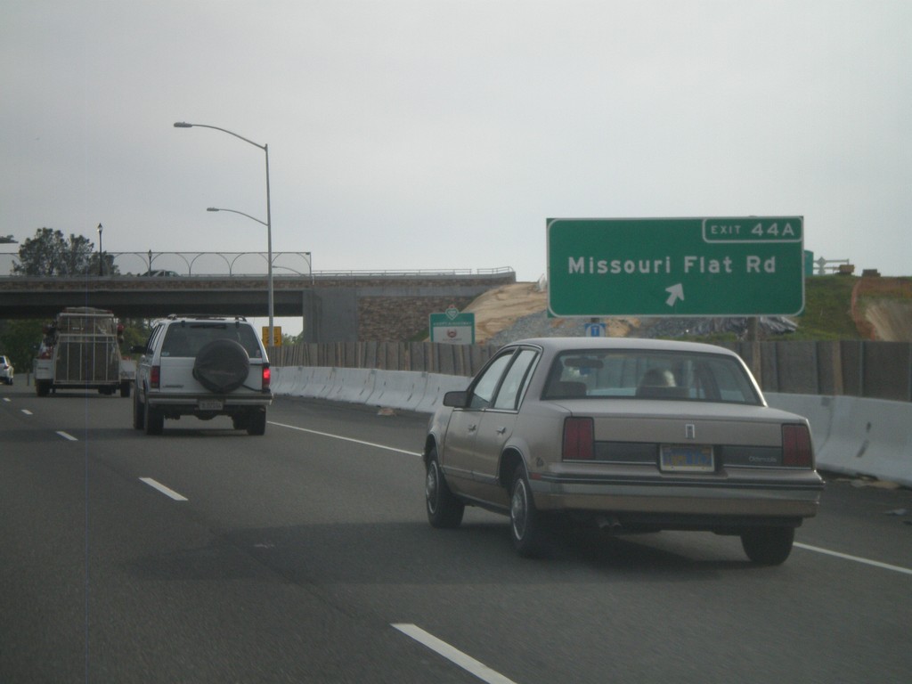
US-50 West - Exit 44A
US-50 west at Exit 44A - Missouri Flat Road.
Taken 04-15-2010
 Placerville
El Dorado County
California
United States