Signs From California
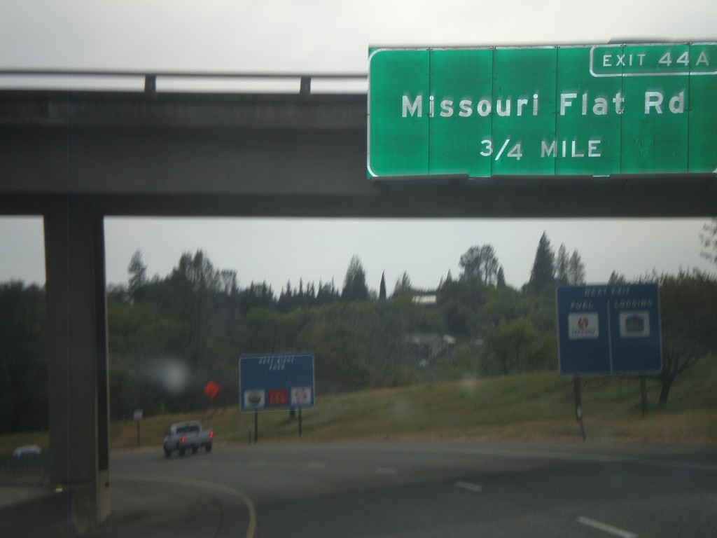
US-50 West Approaching Exit 44A
US-50 west approaching Exit 44A - Missouri Flat Road
Taken 04-15-2010
 Placerville
El Dorado County
California
United States
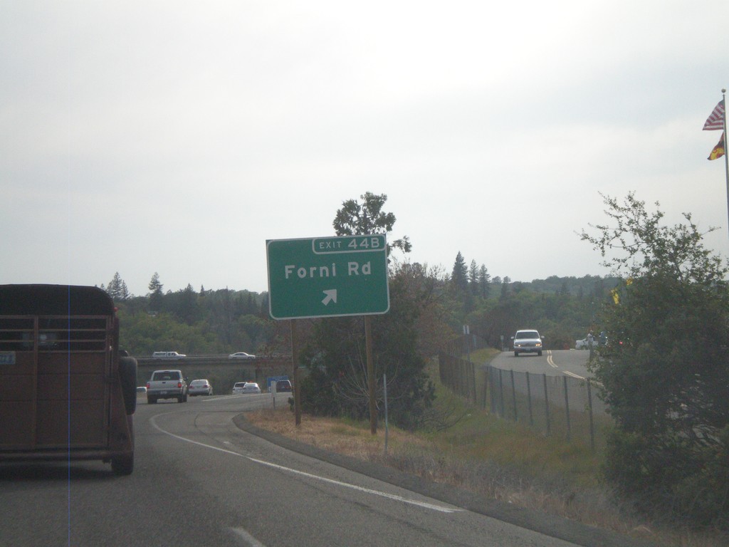
US-50 West - Exit 44B
US-50 west at Exit 44B - Forni Road
Taken 04-15-2010
 Placerville
El Dorado County
California
United States
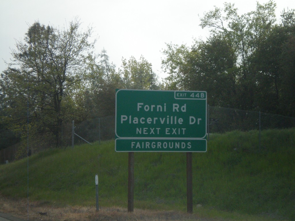
US-50 West Approaching Exit 44B
US-50 west approaching Exit 44B - Forni Road/Placerville Drive. Use Exit 44B for the El Dorado County Fairgrounds.
Taken 04-15-2010
 Placerville
El Dorado County
California
United States
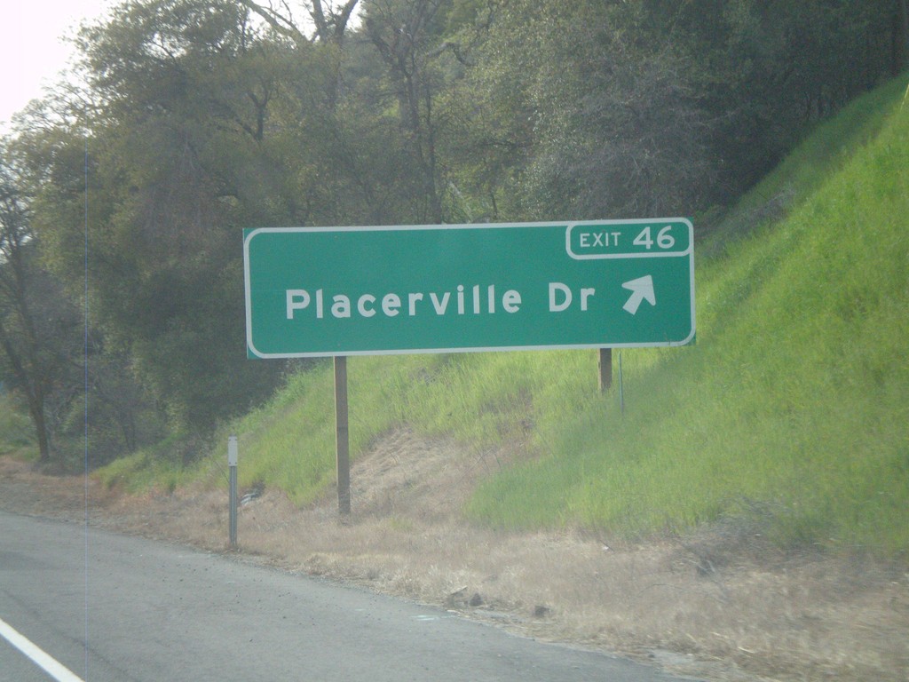
US-50 West - Exit 46
US-50 west at Exit 46 - Placerville Drive.
Taken 04-15-2010
 Placerville
El Dorado County
California
United States
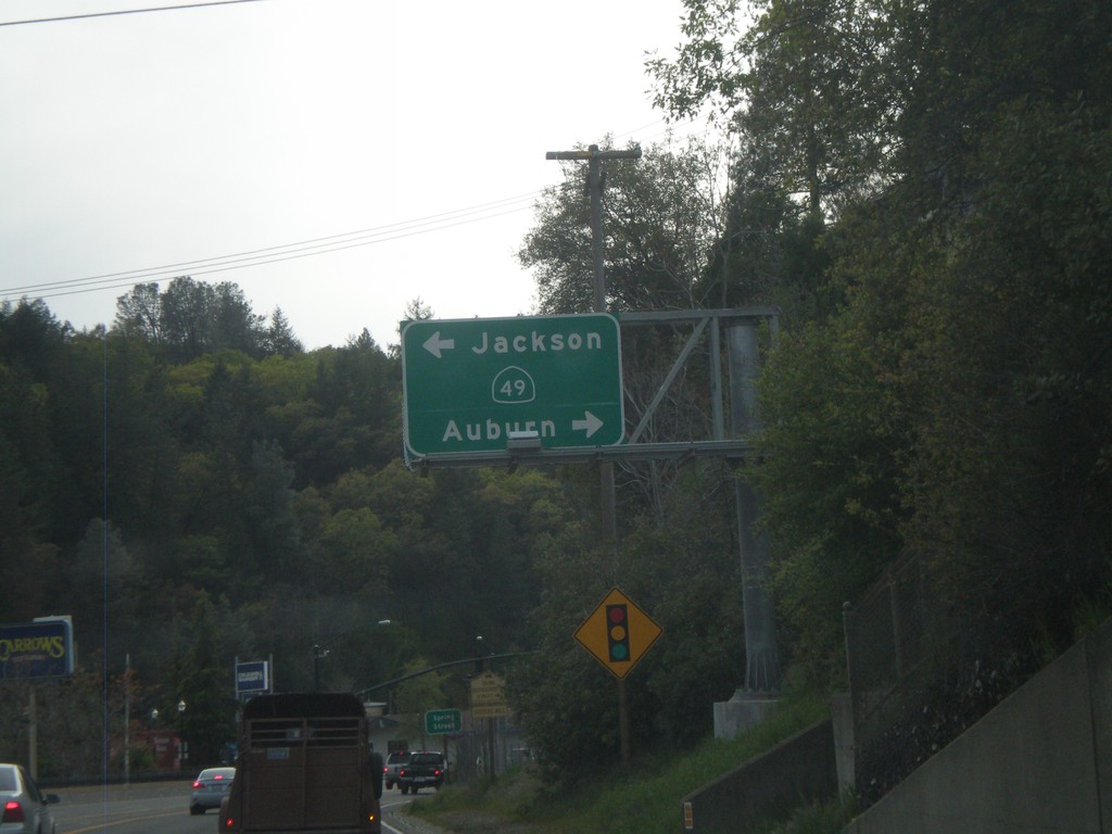
US-50 West at CA-49
US-50 west at CA-49. Use CA-49 north for Auburn; south for Jackson. US-50 through downtown Placerville is a surface street.
Taken 04-15-2010

 Placerville
El Dorado County
California
United States
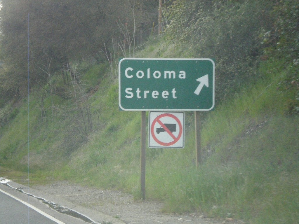
US-50 West at Coloma St.
US-50 west at Coloma St. exit.
Taken 04-15-2010

 Placerville
El Dorado County
California
United States
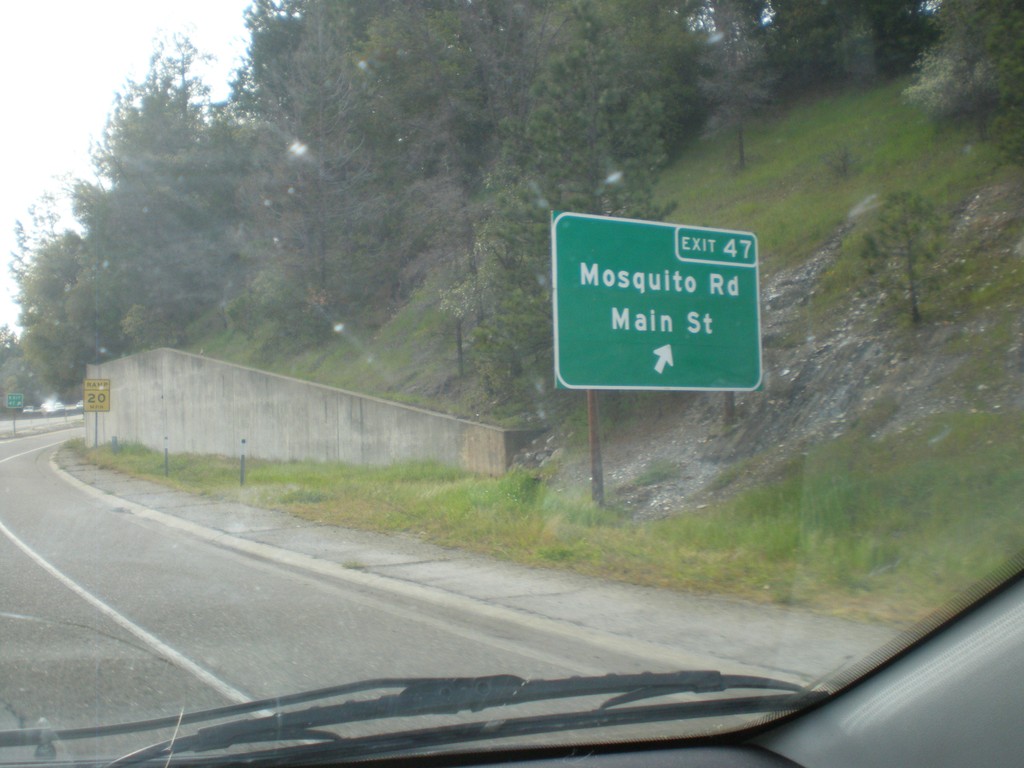
US-50 West - Exit 47
US-50 west at Exit 47 - Mosquito Road/Main St.
Taken 04-15-2010
 Placerville
El Dorado County
California
United States
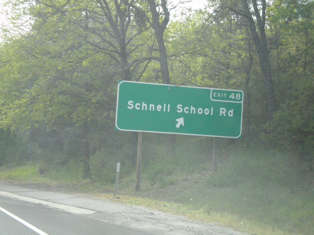
US-50 West - Exit 48
US-50 west at Exit 48 - Schnell School Road.
Taken 04-15-2010
 Placerville
El Dorado County
California
United States
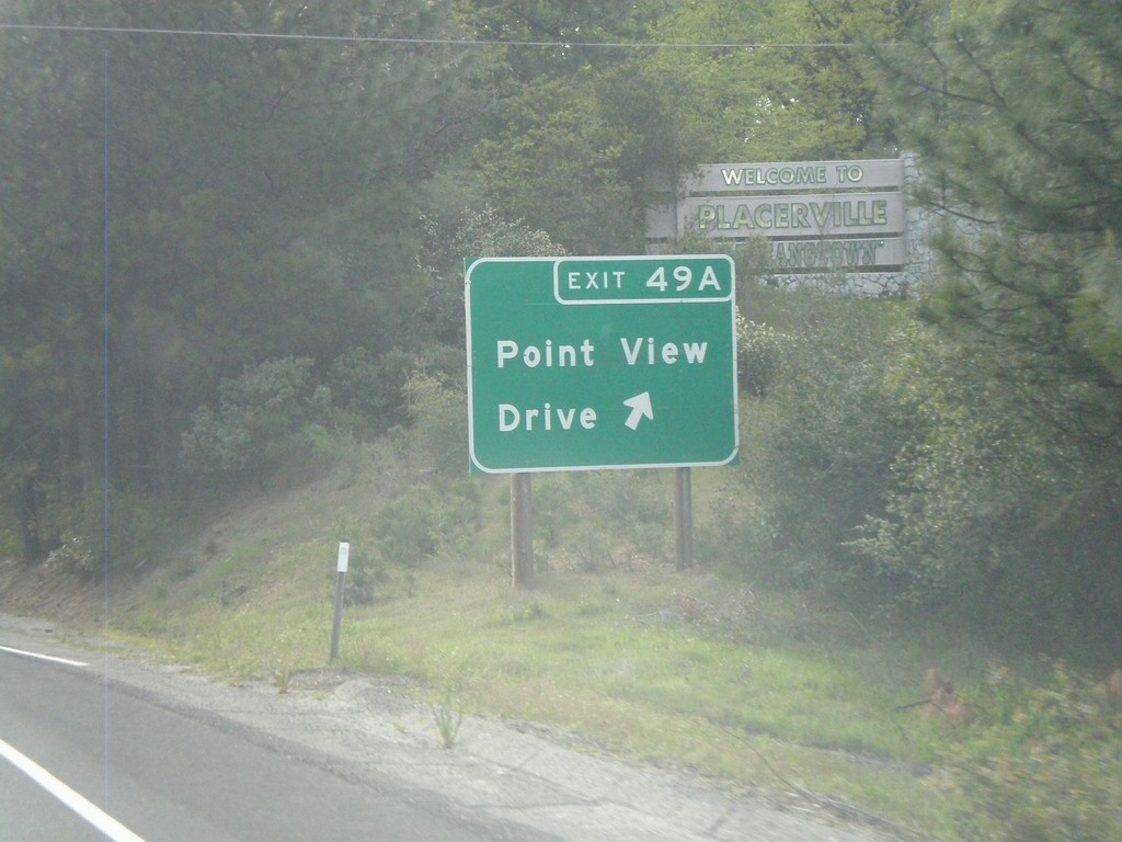
US-50 West - Exit 49A
US-50 west at Exit 49A - Point View Drive.
Taken 04-15-2010
 Placerville
El Dorado County
California
United States
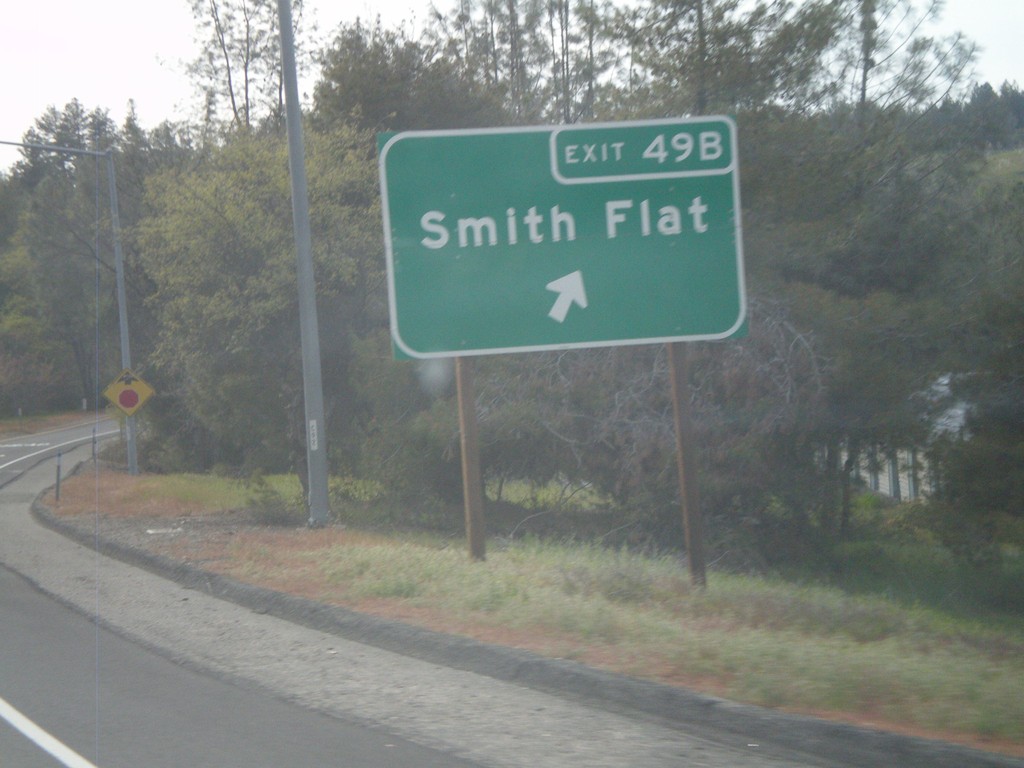
US-50 West - Exit 49B
US-50 west at Exit 49B - Smith Flat
Taken 04-15-2010
 Placerville
El Dorado County
California
United States