Signs From California
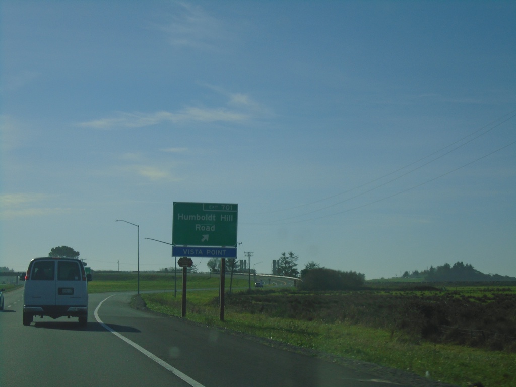
US-101 South - Exit 701
US-101 south Exit 701 - Humboldt Hill Road
Taken 11-21-2021
 Eureka
Humboldt County
California
United States
Eureka
Humboldt County
California
United States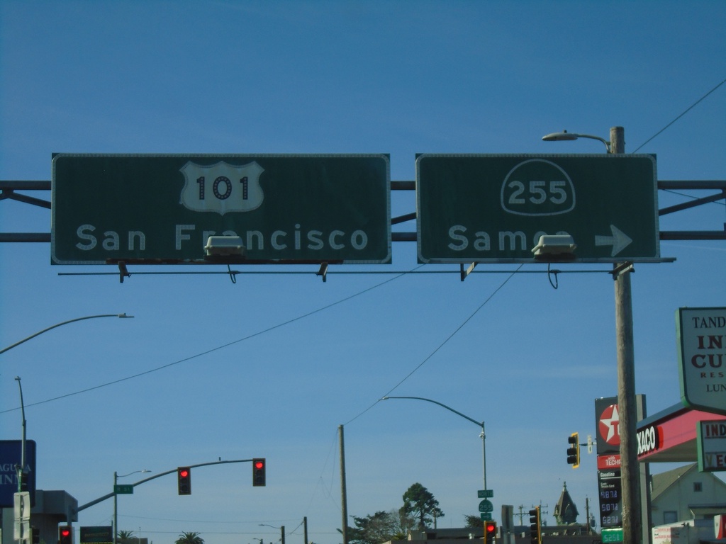
US-101 South At CA-255
US-101 south (4th St.) at CA-255/Samoa in downtown Eureka. Continue on US-101 for San Francisco.
Taken 11-21-2021
 Eureka
Humboldt County
California
United States
Eureka
Humboldt County
California
United States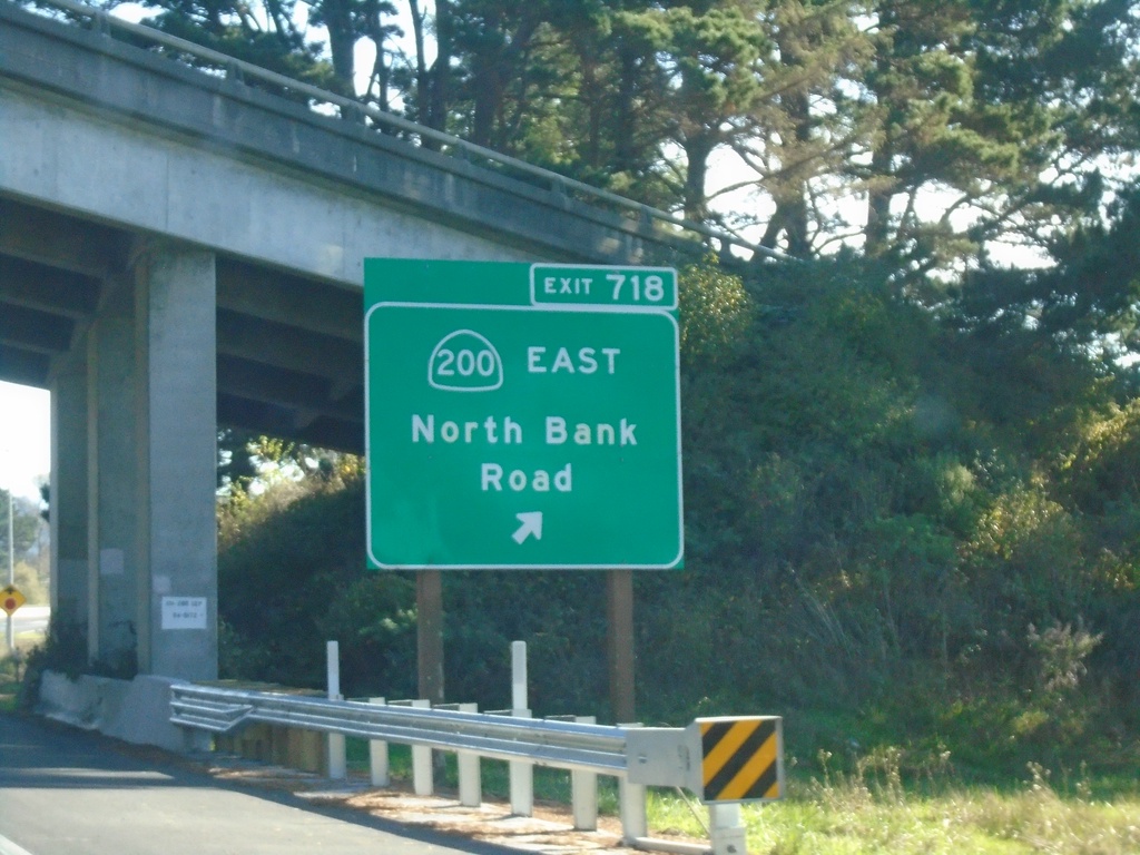
US-101 South - Exit 718
US-101 south Exit 718 - CA-200 East/North Bank Road
Taken 11-21-2021
 McKinleyville
Humboldt County
California
United States
McKinleyville
Humboldt County
California
United States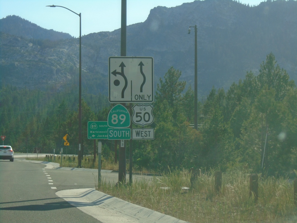
US-50 West/CA-89 South at US-50/CA-89 Split
US-50 West/CA-89 south at US-50/CA-89 split roundabout.
Taken 07-09-2021

 South Lake Tahoe
El Dorado County
California
United States
South Lake Tahoe
El Dorado County
California
United States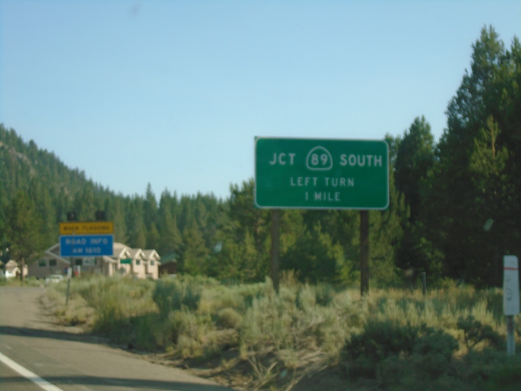
US-50 West/CA-89 South Approaching CA-89
US-50 west/CA-89 south approaching CA-89/US-50 split.
Taken 07-09-2021
South Lake Tahoe
El Dorado County
California
United States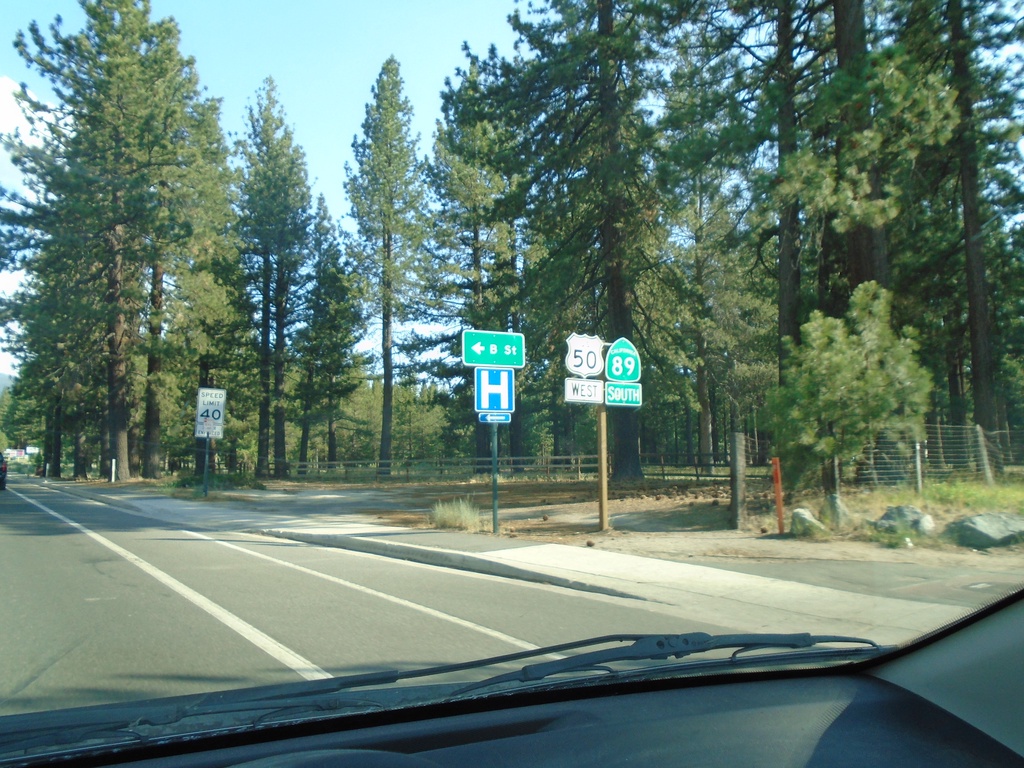
US-50 West/CA-89 South - South Lake Tahoe
US-50 West/CA-89 South in South Lake Tahoe at B St.
Taken 07-09-2021
South Lake Tahoe
El Dorado County
California
United States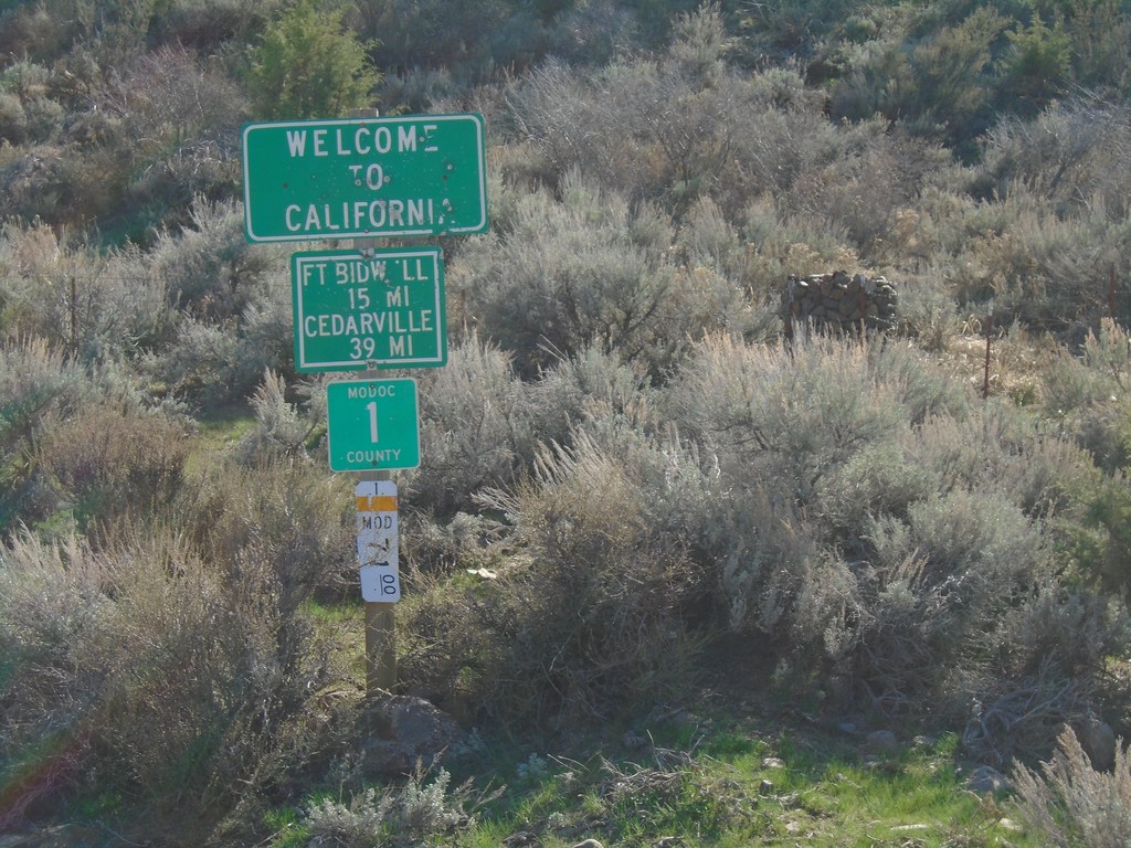
Entering California - Modoc County Highway 1
Entering California on Modoc County Highway 1 south. Distance to Fort Bidwell and Cedarville. Taken on the road between Adel, Oregon and Cedarville, California.
Taken 04-27-2019
 Adel
Modoc County
California
United States
Adel
Modoc County
California
United States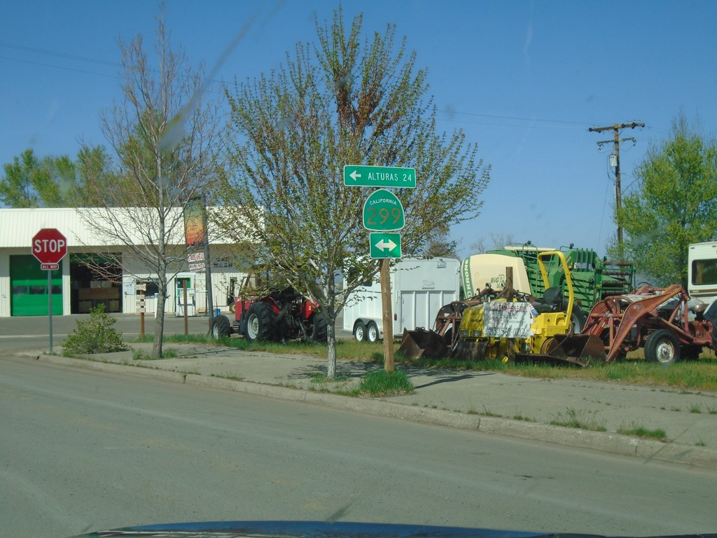
CH-1 (Main St.) at CA-299 - Cedarville
CH-1 (Main St.) at CA-299 in Cedarville. Turn left for CA-299 west to Alturas.
Taken 04-27-2019
 Alturas
Modoc County
California
United States
Alturas
Modoc County
California
United States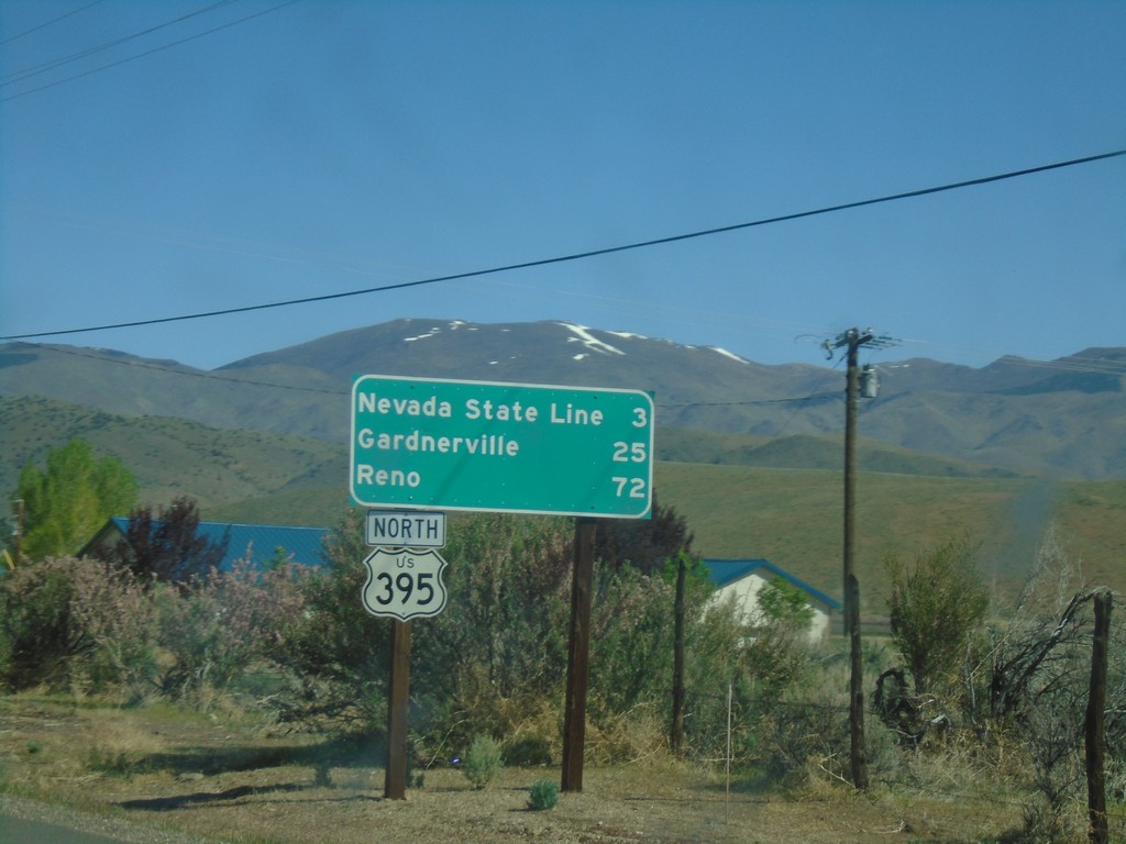
US-395 North - Distance Marker
Distance marker to Nevada State Line, Carson City, and Reno on US-395 north.
Taken 04-27-2019
 Coleville
Mono County
California
United States
Coleville
Mono County
California
United States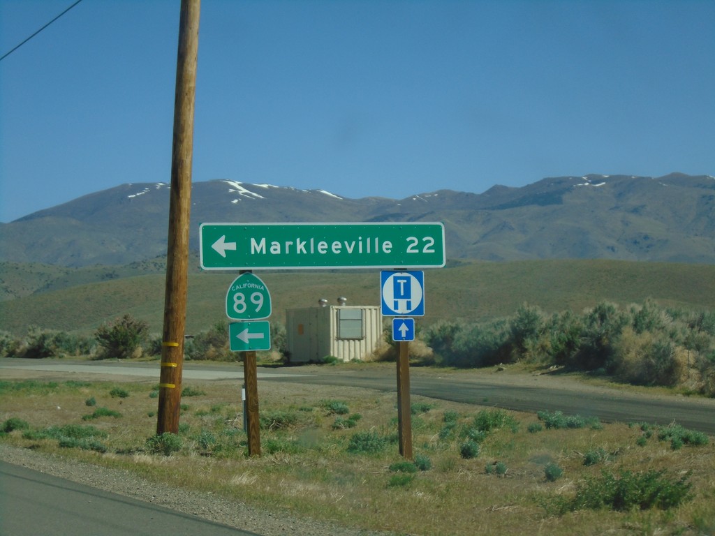
US-395 North at CA-89
US-395 North at CA-89 North. Turn left on CA-89 for Markleeville.
Taken 04-27-2019
Coleville
Mono County
California
United States