Signs From Colorado
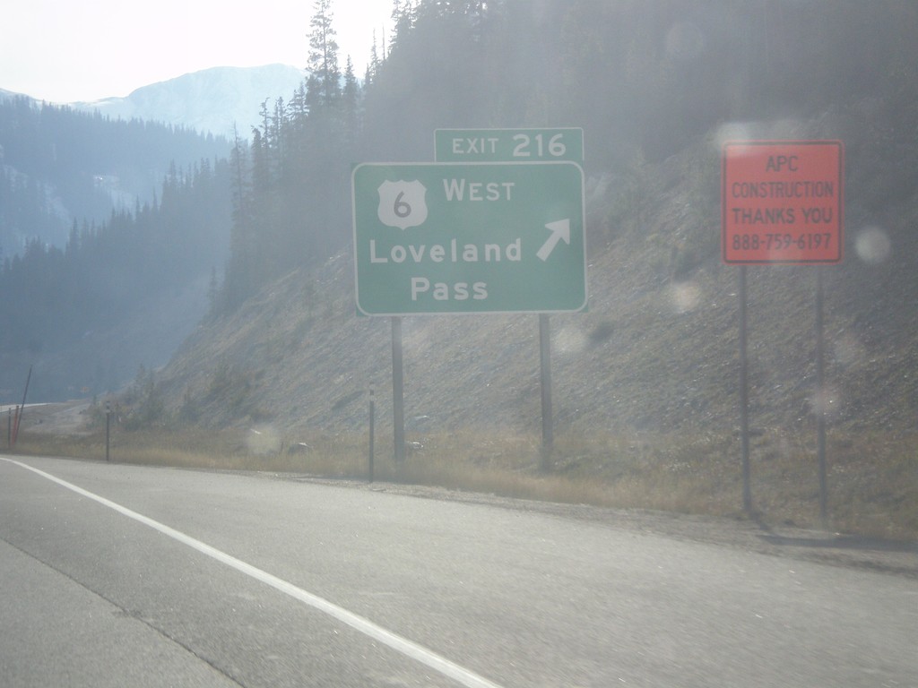
I-70 West - Exit 216
I-70 west at Exit 216 - US-6 West/Loveland Pass. US-6 leaves I-70 westbound here, and crosses Loveland Pass, while I-70 enters the Eisenhower Tunnel. This is the last exit before the Eisenhower Tunnel.
Taken 10-08-2016

 Keystone
Summit County
Colorado
United States
Keystone
Summit County
Colorado
United States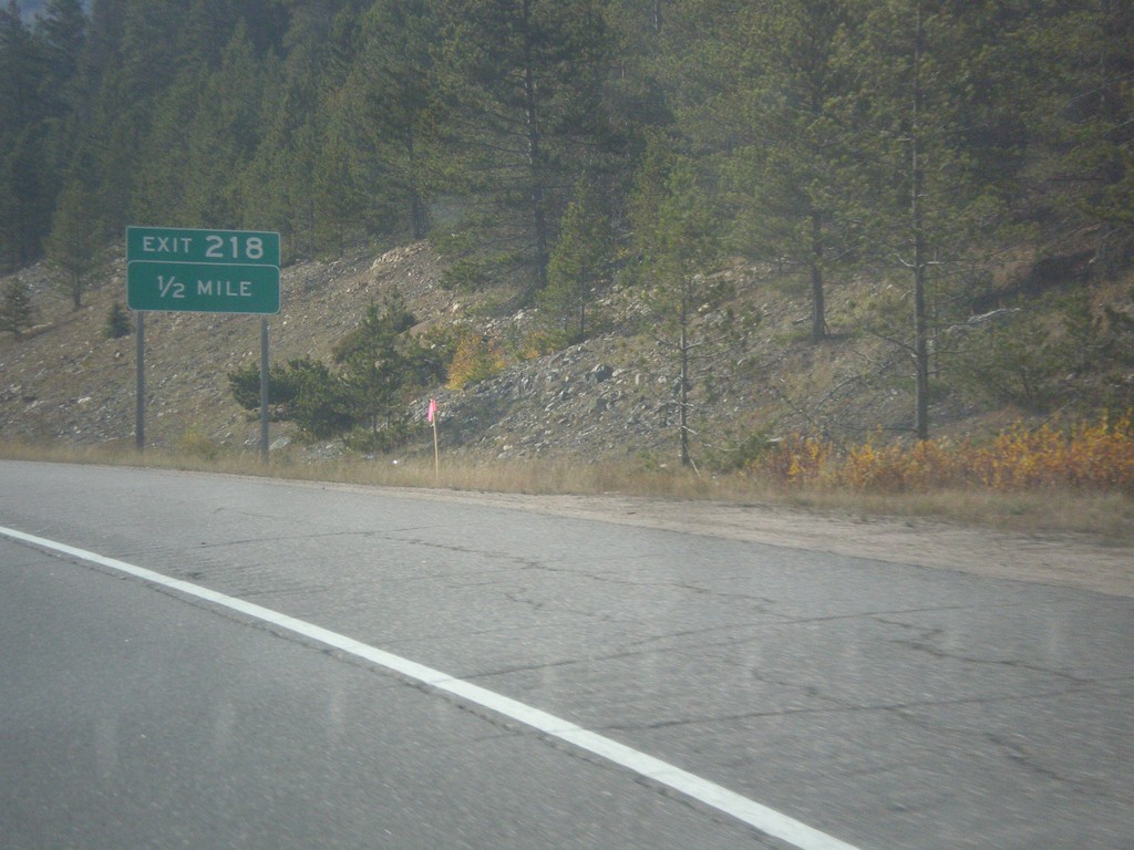
I-70 West - Exit 218
I-70 west approaching Exit 218.
Taken 10-08-2016
Dillon
Clear Creek County
Colorado
United States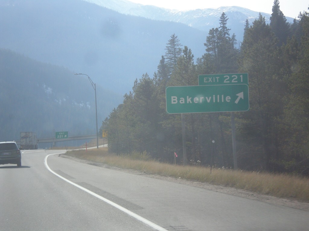
I-70 West - Exit 221
I-70 west at Exit 221 - Bakerville.
Taken 10-08-2016
Silver Plume
Clear Creek County
Colorado
United States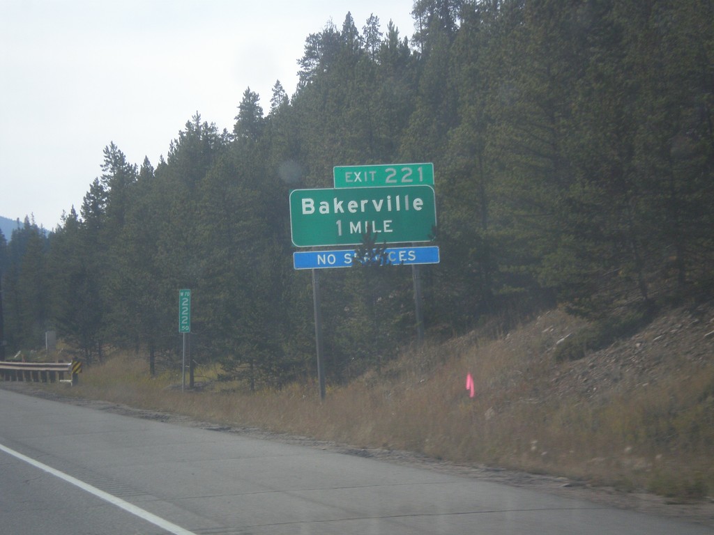
I-70 West - Exit 221
I-70 west approaching Exit 221 - Bakerville.
Taken 10-08-2016
Silver Plume
Clear Creek County
Colorado
United States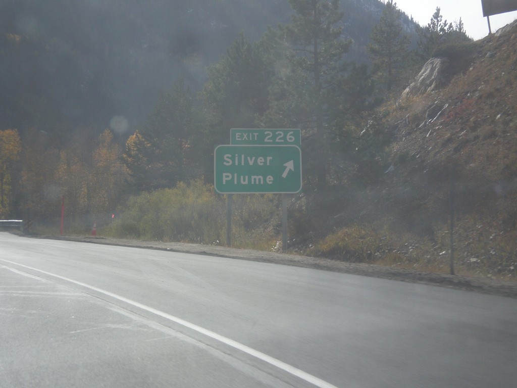
I-70 West - Exit 226
I-70 west at Exit 226 - Silver Plume.
Taken 10-08-2016
Silver Plume
Clear Creek County
Colorado
United States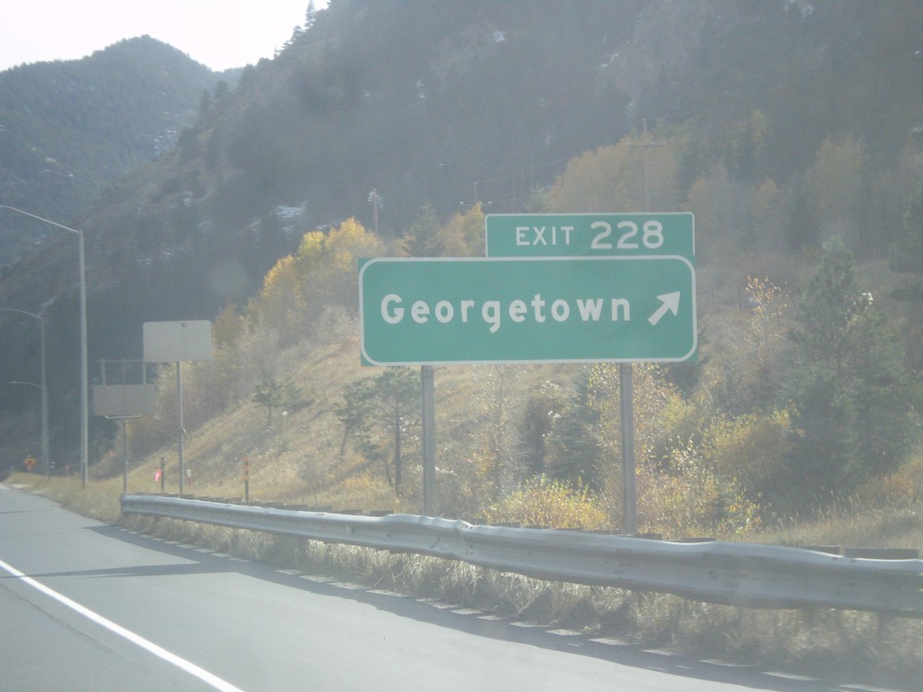
I-70 West - Exit 228
I-70 west at Exit 228 - Georgetown.
Taken 10-08-2016
Georgetown
Clear Creek County
Colorado
United States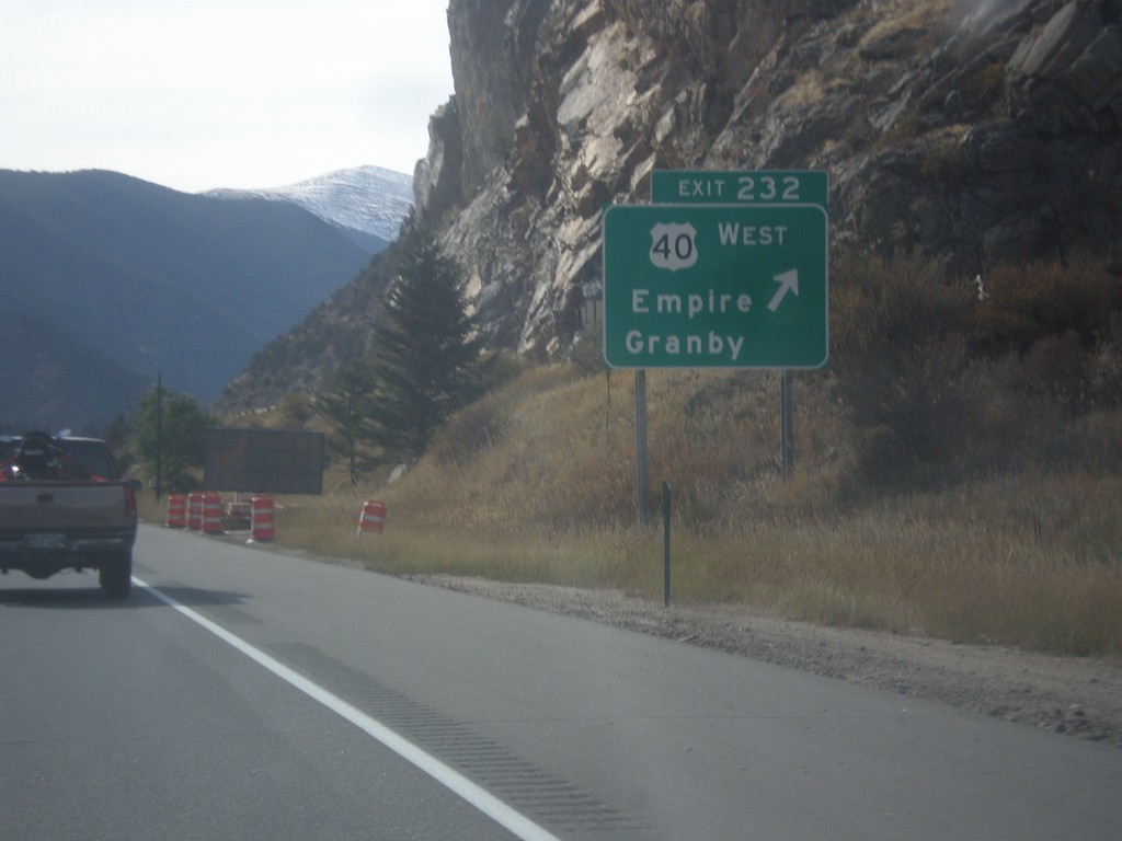
I-70 West - Exit 232
I-70 west at Exit 232 - US-40 West/Empire/Granby. US-40 leaves I-70 westbound, and begins climb to Berthoud Pass.
Taken 10-08-2016
 Empire
Clear Creek County
Colorado
United States
Empire
Clear Creek County
Colorado
United States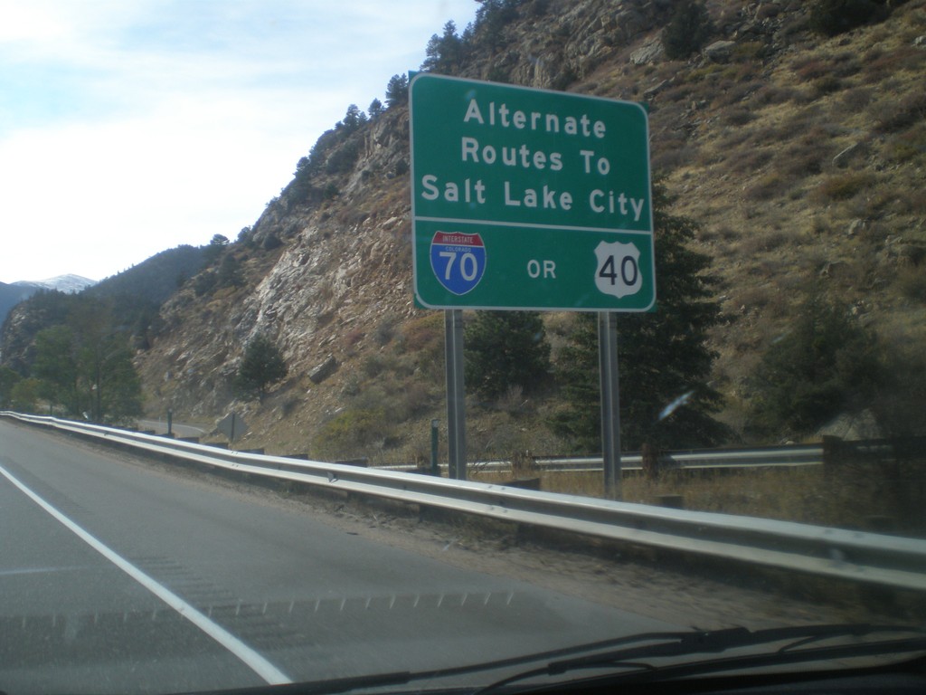
I-70 West - Routes to Salt Lake City
I-70 west approaching Exit 232 - US-40 West. Alternate routes to Salt Lake City via either US-40 West (and I-80) or I-70 West (and US-191/US-89/I-15).
Taken 10-08-2016
Idaho Springs
Clear Creek County
Colorado
United States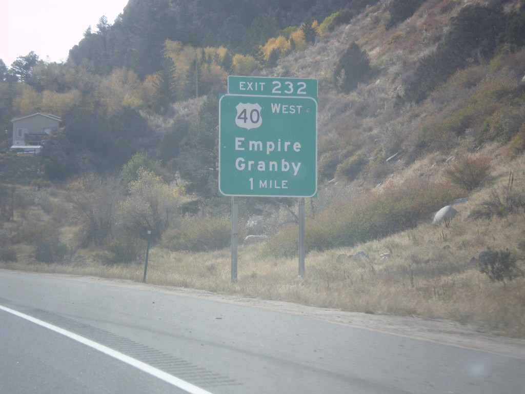
I-70 West - Exit 232
I-70 west approaching Exit 232 - US-40 West/Empire/Granby.
Taken 10-08-2016
Downieville-Lawson-Dumont
Clear Creek County
Colorado
United States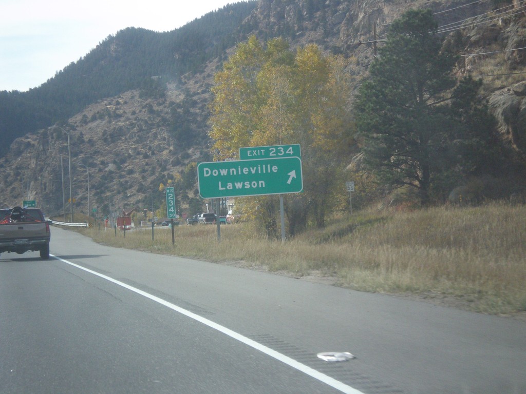
I-70 West - Exit 234
I-70 west at Exit 234 - Downieville/Lawson.
Taken 10-08-2016
Downieville-Lawson-Dumont
Clear Creek County
Colorado
United States