Signs From Idaho
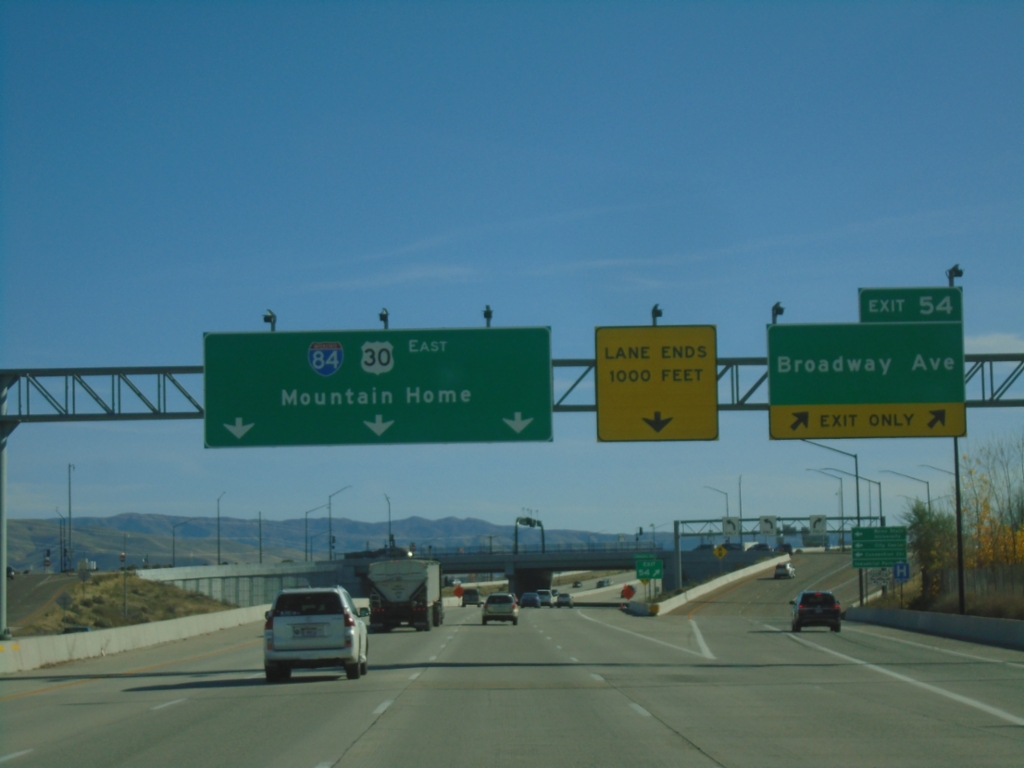
I-84 East - Exit 54
I-84 east at Exit 54 - Broadway Ave. I-84/US-30 continues east to Mountain Home. US-20 and US-26 join I-84 eastbound here.
Taken 11-09-2025


 Boise
Ada County
Idaho
United States
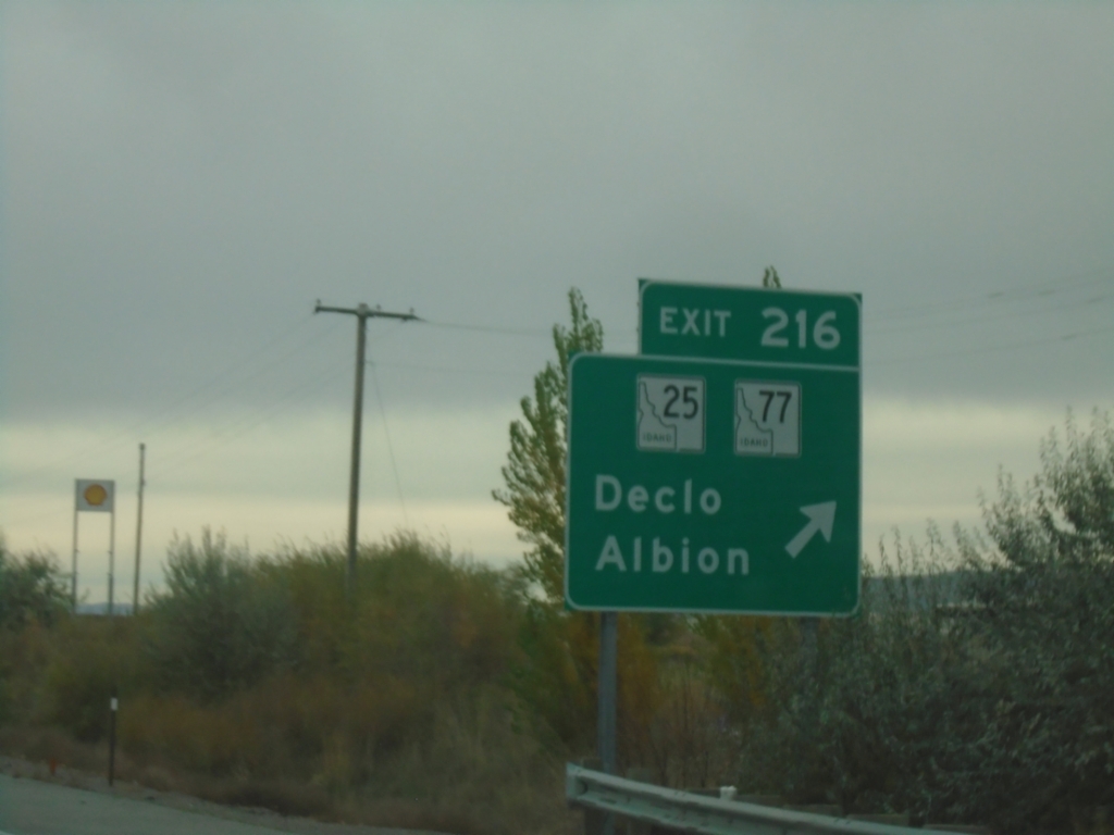
I-84 East - Exit 216
I-84 east at Exit 216 - ID-25/ID-77/Declo/Albion.
Taken 10-25-2025


 Rupert
Minidoka County
Idaho
United States
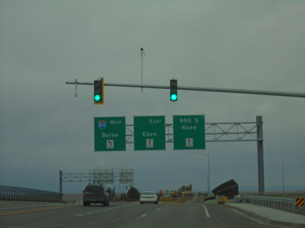
ID-50 East at I-84 (Exit 182)
ID-50 East at I-84 (Exit 182). Turn left for I-84 West to Boise; continue straight for (ID-50 East) to Eden and 990 South Road.
Taken 10-25-2025

 Eden
Jerome County
Idaho
United States
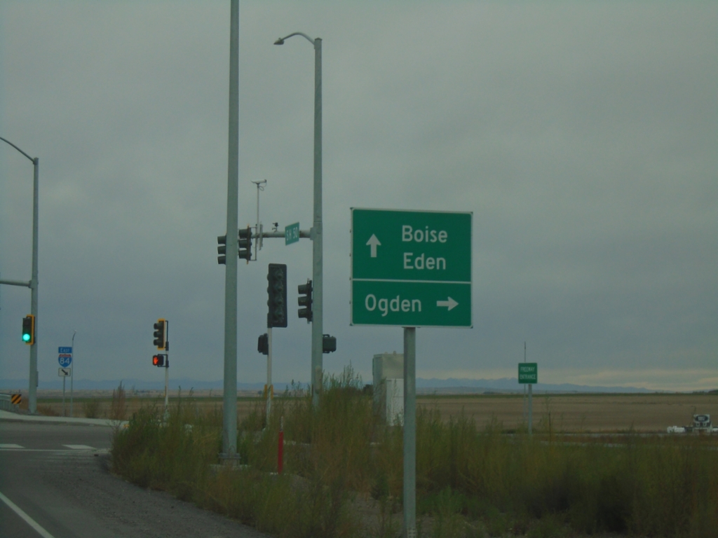
ID-50 North at I-84 East
ID-50 North at I-84 East to Ogden (Utah). Use I-84 West to Boise; ID-50 north to Eden.
Taken 10-25-2025

 Jerome County
Idaho
United States
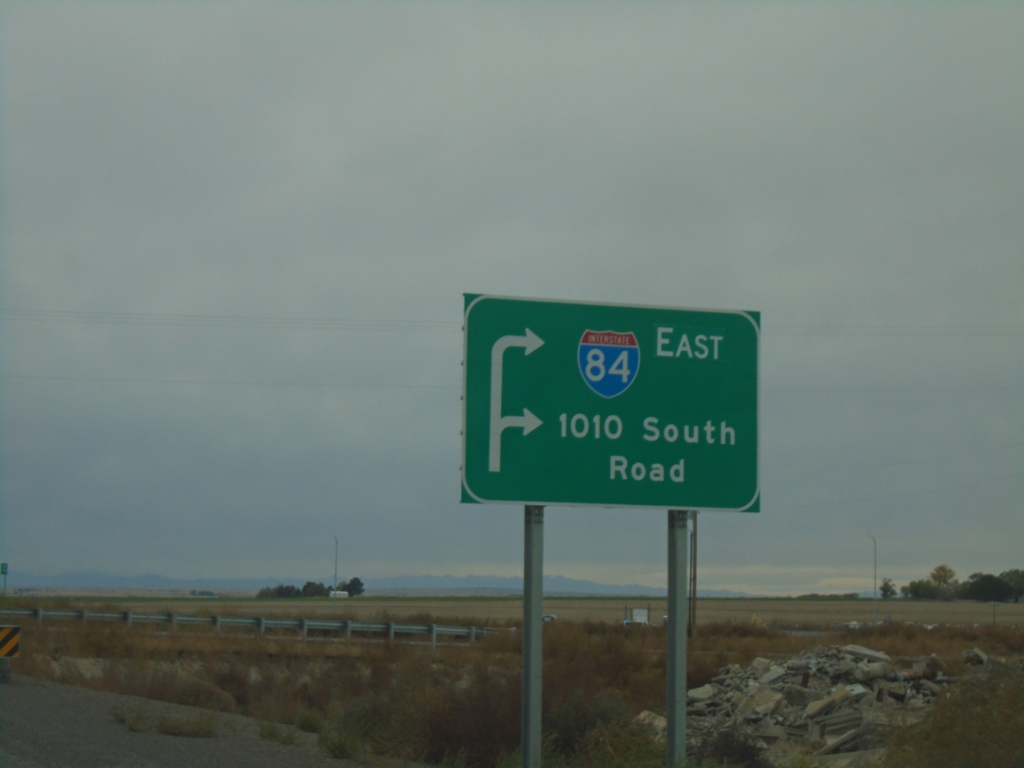
ID-50 North Approaching I-84
ID-50 North approaching I-84 East; at 1010 South Road.
Taken 10-25-2025

 Jerome County
Idaho
United States
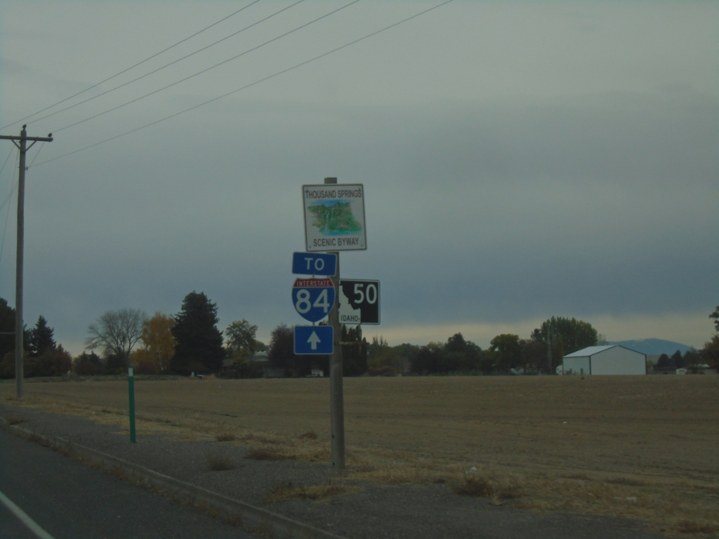
ID-50 - Twin Falls County
ID-50/To I-84 in Twin Falls County. ID-50 is part of the Thousand Springs Scenic Byway.
Taken 10-25-2025

 Kimberly
Twin Falls County
Idaho
United States
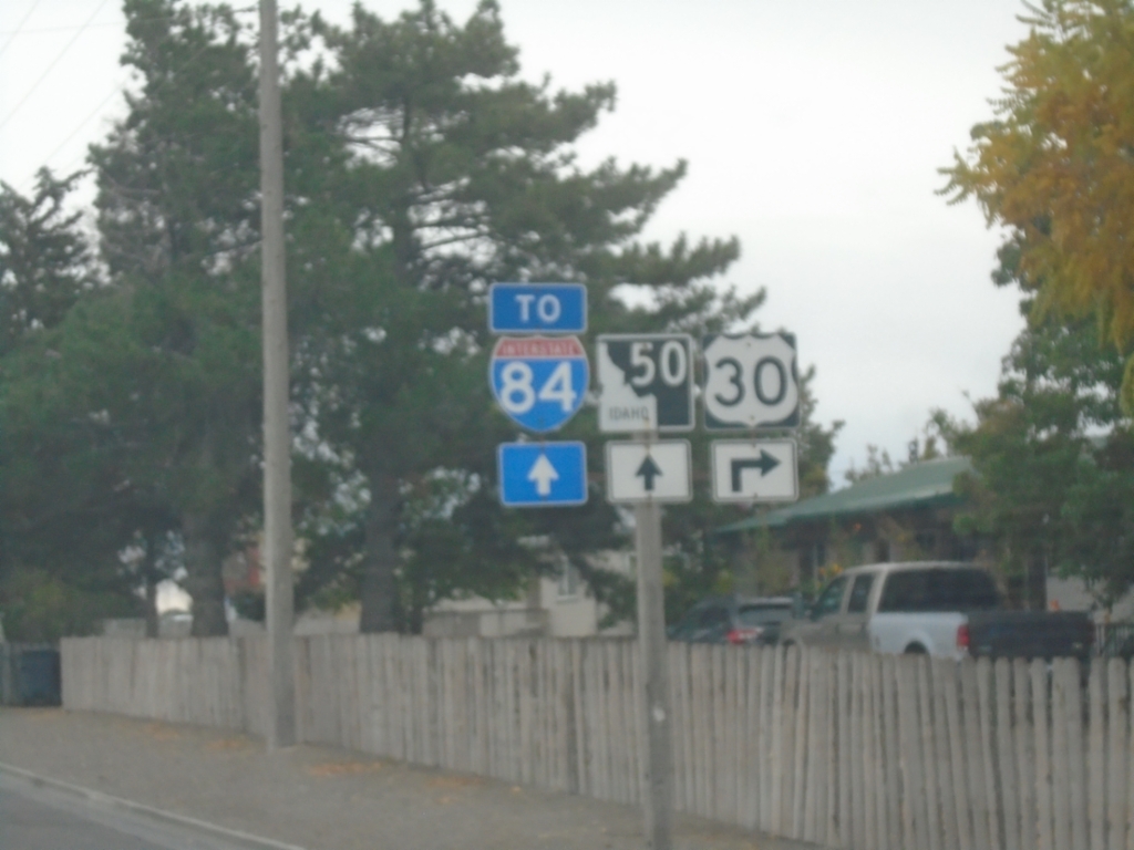
US-30 East Approaching ID-50
US-30 east approaching ID-50 to I-84.
Taken 10-25-2025


 Kimberly
Twin Falls County
Idaho
United States
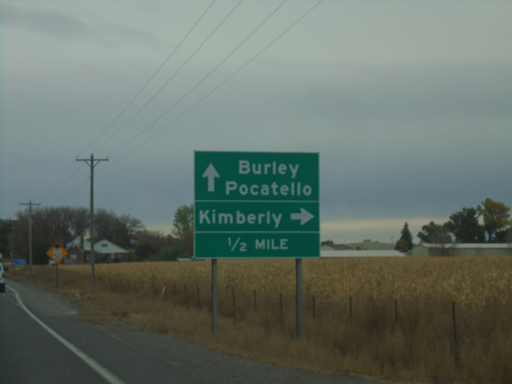
US-30 East Approaching ID-50
US-30 East approaching ID-50. Turn right for US-30 east to Kimberly; continue straight for ID-50 to Burley and Pocatello.
Taken 10-25-2025

 Kimberly
Twin Falls County
Idaho
United States
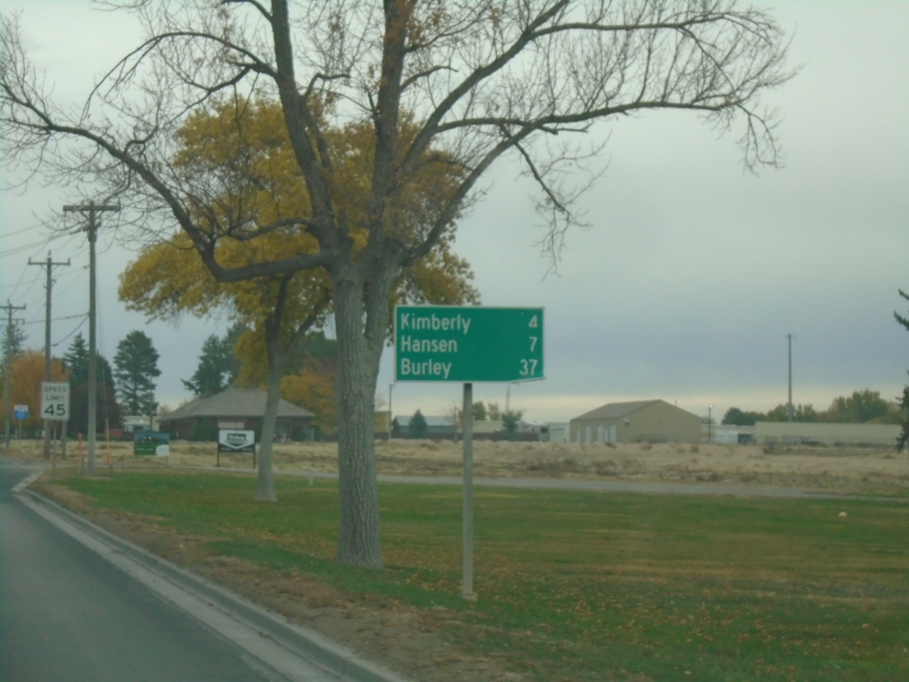
US-30 East - Distance Marker
Distance marker on US-30 east. Distance to Kimberly, Hanson, and Burley.
Taken 10-25-2025
 Twin Falls
 County
Idaho
United States
Twin Falls
Twin Falls County
Idaho
United States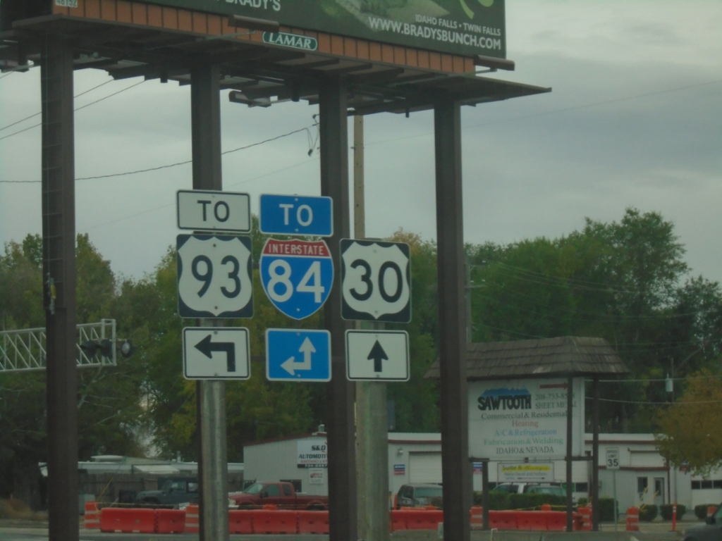
US-30 East at Blue Lakes Blvd.
US-30 East at Blue Lakes Blvd. in Twin Falls. Use Blue Lakes Blvd. north to US-93 and I-84. Continue east on US-30 (Kimberly Road) to I-84.
Taken 10-25-2025


 Twin Falls
 County
Idaho
United States
Twin Falls
Twin Falls County
Idaho
United States