Signs From Idaho
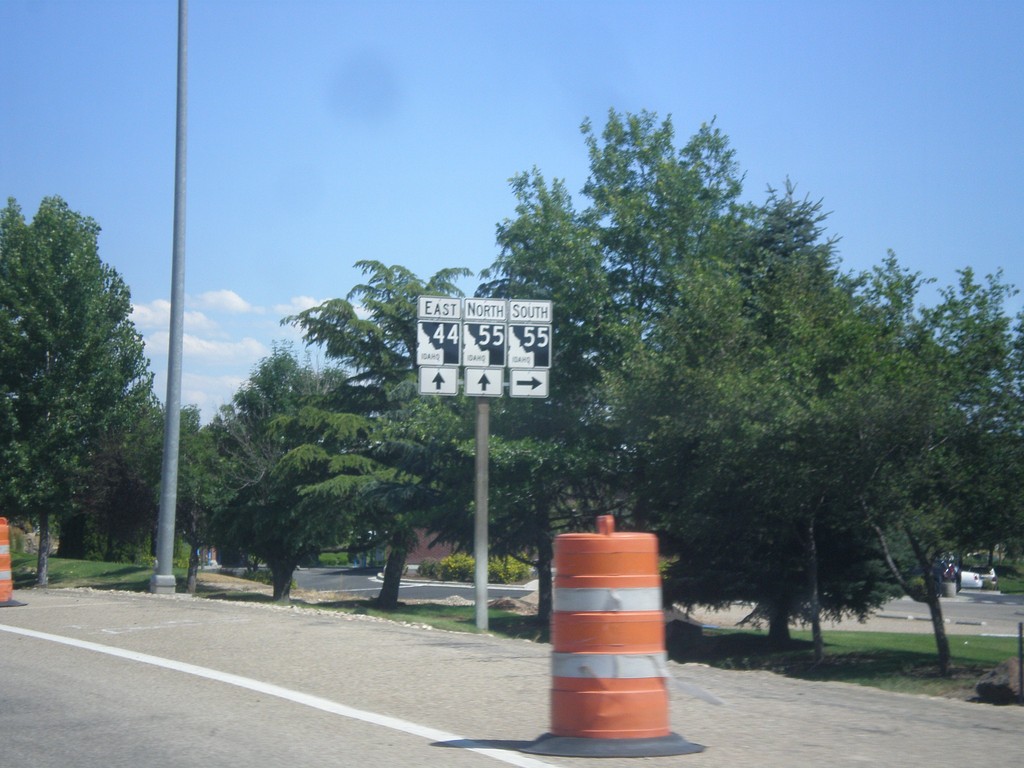
ID-44 West at ID-55
ID-44 west at ID-55. Turn right for ID-55 south; continue straight for ID-55 north/ID-44 east. ID-55 joins ID-44 through Eagle.
Taken 07-15-2013

 Eagle
Ada County
Idaho
United States
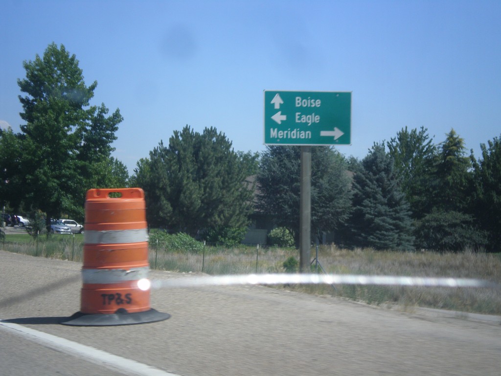
ID-44 East at ID-55
ID-44 east (State St.) at ID-55. Turn right on ID-55 (Eagle Road) for Meridian. Turn left on Eagle Road for Eagle (downtown). Continue straight on ID-44/ID-55 for Boise. ID-55 follows ID-44 through Eagle.
Taken 07-15-2013

 Eagle
Ada County
Idaho
United States
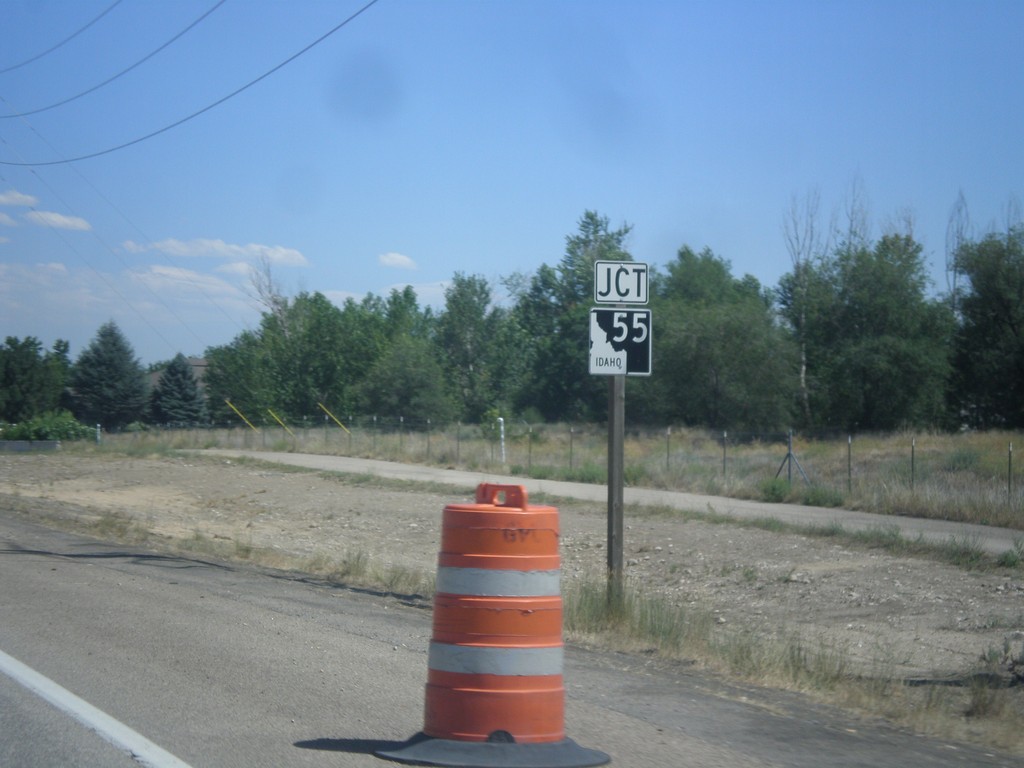
ID-44 East Approaching ID-55
ID-44 east approaching ID-55 in Eagle.
Taken 07-15-2013

 Eagle
Ada County
Idaho
United States
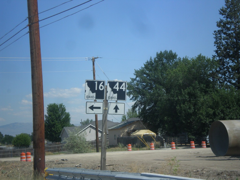
ID-44 East at ID-16
ID-44 east at ID-16 in Star.
Taken 07-15-2013

 Eagle
Ada County
Idaho
United States
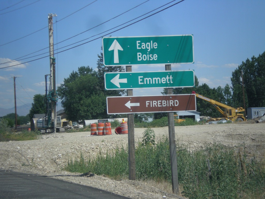
ID-44 East Approaching ID-16
ID-44 east approaching ID-16. Turn left on ID-16 north of Emmett and Firebird Raceway. Continue east on ID-44 for Eagle and Boise.
Taken 07-15-2013

 Eagle
Ada County
Idaho
United States
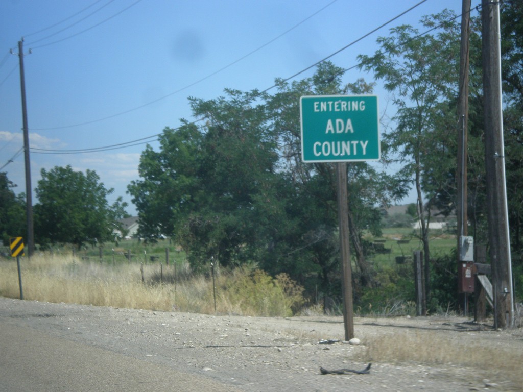
ID-44 East - Entering Ada County
Entering Ada County on ID-44 east. Ada County is home to Boise, the capital of Idaho, and is the most populous county in the state.
Taken 07-15-2013
 Star
Canyon County
Idaho
United States
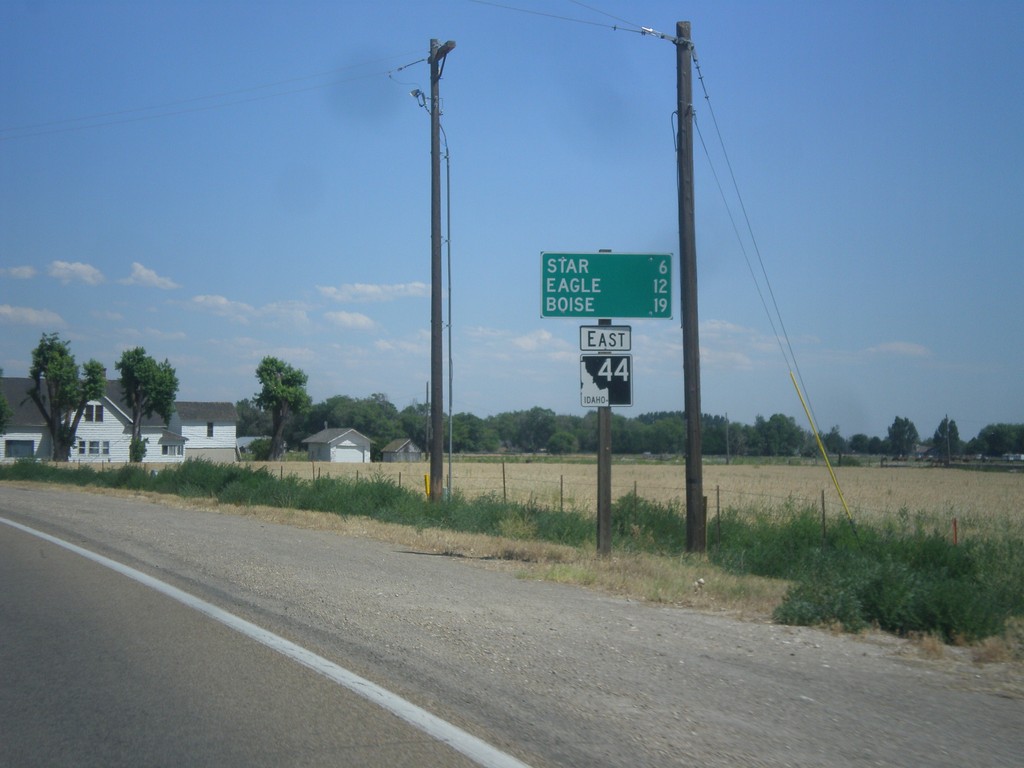
ID-44 East - Distance Marker
Distance marker on ID-44 east. Distance to Star, Eagle, and Boise.
Taken 07-15-2013
 Middleton
Canyon County
Idaho
United States
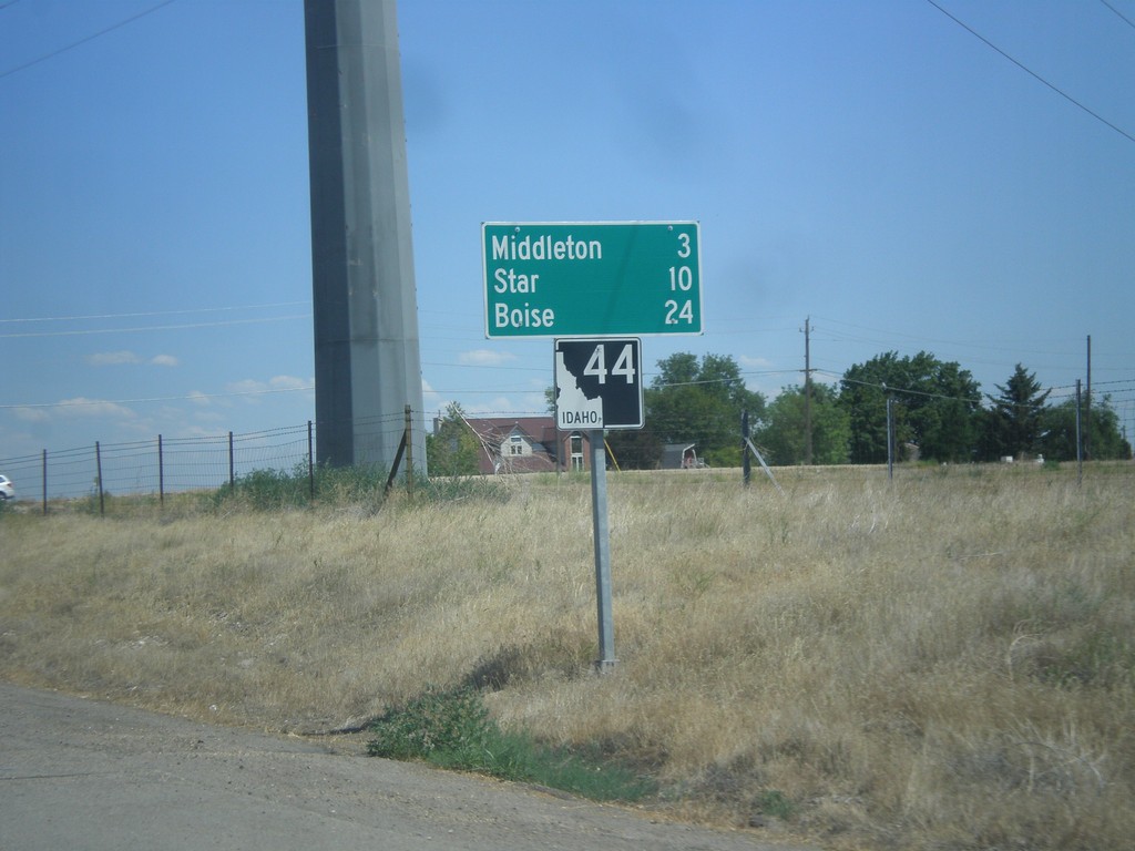
ID-44 East - Distance Marker
Distance marker on ID-44 east. Distance to Middleton, Star, and Boise.
Taken 07-15-2013
 Caldwell
Canyon County
Idaho
United States
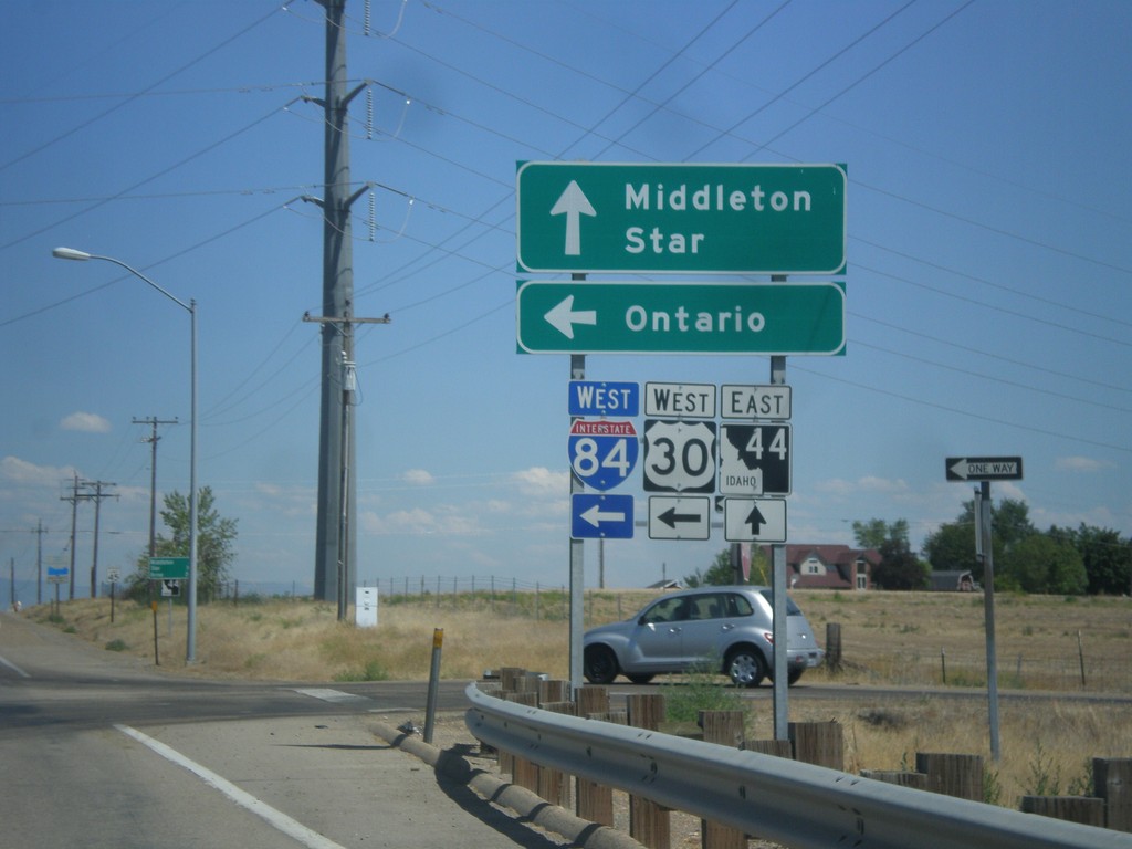
Begin ID-44 East at I-84/US-30
Beginning of ID-44 east at I-84/US-30 West onramp (Exit 25). Turn left on I-84/US-30 West for Ontario. Continue straight for ID-44 east to Middleton and Star.
Taken 07-15-2013


 Caldwell
Canyon County
Idaho
United States
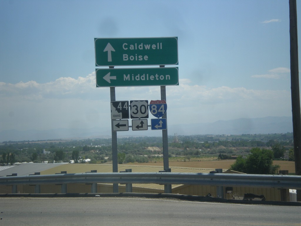
I-84 East (Exit 25) at ID-44
I-84 East (Exit 25) at ID-44 junction. Turn left for ID-44 east to Middleton. Continue ahead for the onramp for I-84/US-30 towards Caldwell and Boise.
Taken 07-15-2013


 Caldwell
Canyon County
Idaho
United States