Signs From Idaho
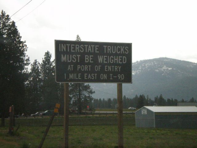
ID-41 South at I-90 - Interstate Trucks
ID-41 south approaching I-90. All Interstate trucks must be weighed at Port of Entry on I-90 East.
Taken 05-07-2008
 Post Falls
Kootenai County
Idaho
United States
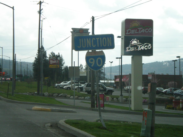
Jct. I-90 on ID-41 South
ID-41 south approaching I-90.
Taken 05-07-2008
 Post Falls
Kootenai County
Idaho
United States
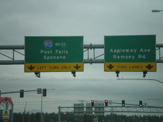
Northwest Blvd. at I-90 West
Northwest Blvd. west at I-90 west to Post Falls and Spokane.
Taken 05-07-2008
 Coeur d'Alene
Kootenai County
Idaho
United States
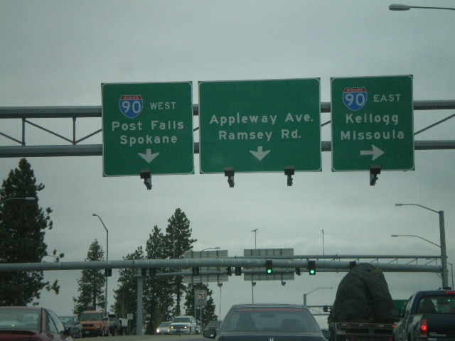
Northwest Blvd. at I-90
Northwest Blvd. west at I-90 east to Kellogg and Missoula. Approaching I-90 west to Post Falls and Spokane.
Taken 05-07-2008
 Coeur d'Alene
Kootenai County
Idaho
United States
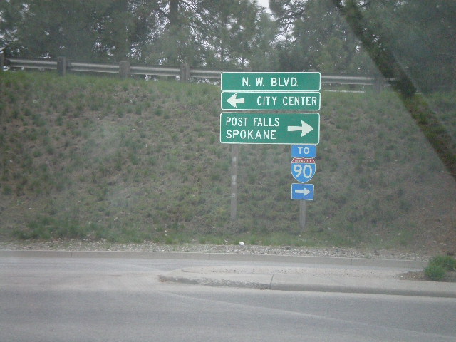
US-95 South at Northwest Blvd.
US-95 south offramp at Northwest Blvd east to City Center and west to Post Falls and Spokane.
Taken 05-07-2008
 Coeur d'Alene
Kootenai County
Idaho
United States
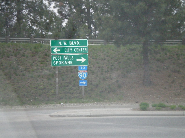
US-95 South at Northwest Blvd.
US-95 south offramp at Northwest Blvd east to City Center and west to Post Falls and Spokane.
Taken 05-07-2008
 Coeur d'Alene
Kootenai County
Idaho
United States
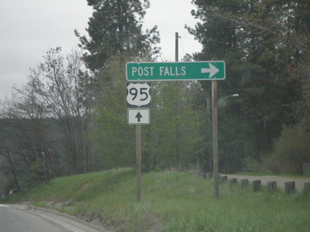
US-95 South at Northwest Blvd. Exit
US-95 south at Northwest Blvd. to Post Falls.
Taken 05-07-2008
 Coeur d'Alene
Kootenai County
Idaho
United States
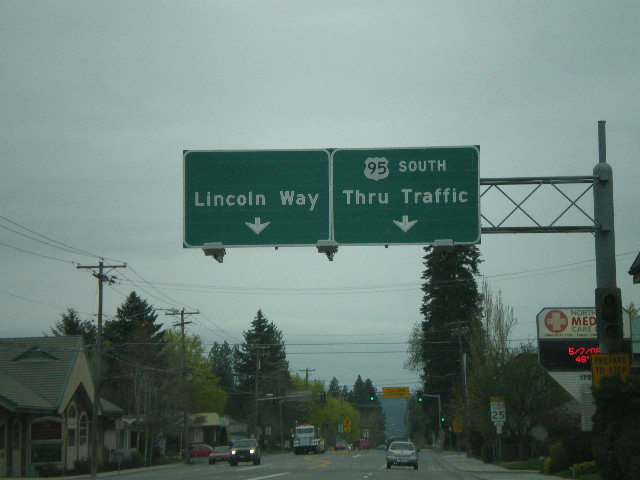
US-95 South at Lincoln Way
US-95 south approaching Lincoln Way.
Taken 05-07-2008
 Coeur d'Alene
Kootenai County
Idaho
United States
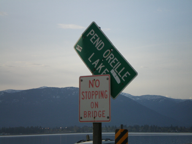
US-95 North - Pend Oreille Lake
Pend Oreille Lake on US-95 north.
Taken 05-06-2008
 Sagle
Bonner County
Idaho
United States
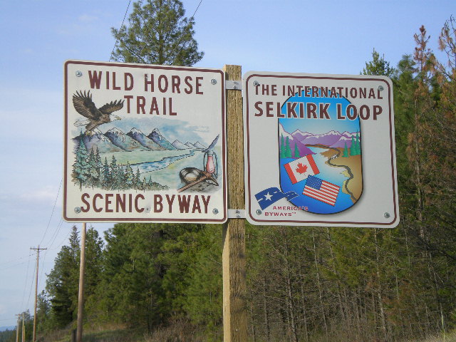
US-95 North - Wild Horse Trail Scenic Byway/International Selkirk Loop
Wild Horse Trail Scenic Byway and International Selkirk Loop signs on US-95 north.
Taken 05-06-2008

 Naples
Boundary County
Idaho
United States